S Ave B, San Manuel, AZ アメリカ合衆国日の出日の入り時間
Location: アメリカ合衆国 > アリゾナ州 > ピナル > アメリカ合衆国 アリゾナ州 サン・マニュエル >
時間帯:
America/Phoenix
現地時間:
2025-07-07 20:23:07
経度:
-110.6297654
緯度:
32.6028595
今日の日の出時刻:
05:22:15 AM
今日の日の入時刻:
07:33:14 PM
今日の日長:
14h 10m 59s
明日の日の出時刻:
05:22:47 AM
明日の日の入時刻:
07:33:00 PM
明日の日長:
14h 10m 13s
すべて表示する
| 日付 | 日出 | 日没 | 日長 |
|---|---|---|---|
| 2025年01月01日 | 07:24:42 AM | 05:28:43 PM | 10h 4m 1s |
| 2025年01月02日 | 07:24:51 AM | 05:29:29 PM | 10h 4m 38s |
| 2025年01月03日 | 07:24:59 AM | 05:30:15 PM | 10h 5m 16s |
| 2025年01月04日 | 07:25:05 AM | 05:31:03 PM | 10h 5m 58s |
| 2025年01月05日 | 07:25:09 AM | 05:31:52 PM | 10h 6m 43s |
| 2025年01月06日 | 07:25:11 AM | 05:32:41 PM | 10h 7m 30s |
| 2025年01月07日 | 07:25:12 AM | 05:33:31 PM | 10h 8m 19s |
| 2025年01月08日 | 07:25:11 AM | 05:34:22 PM | 10h 9m 11s |
| 2025年01月09日 | 07:25:08 AM | 05:35:13 PM | 10h 10m 5s |
| 2025年01月10日 | 07:25:03 AM | 05:36:05 PM | 10h 11m 2s |
| 2025年01月11日 | 07:24:56 AM | 05:36:58 PM | 10h 12m 2s |
| 2025年01月12日 | 07:24:48 AM | 05:37:51 PM | 10h 13m 3s |
| 2025年01月13日 | 07:24:37 AM | 05:38:45 PM | 10h 14m 8s |
| 2025年01月14日 | 07:24:25 AM | 05:39:39 PM | 10h 15m 14s |
| 2025年01月15日 | 07:24:11 AM | 05:40:34 PM | 10h 16m 23s |
| 2025年01月16日 | 07:23:56 AM | 05:41:29 PM | 10h 17m 33s |
| 2025年01月17日 | 07:23:39 AM | 05:42:24 PM | 10h 18m 45s |
| 2025年01月18日 | 07:23:20 AM | 05:43:20 PM | 10h 20m 0s |
| 2025年01月19日 | 07:22:59 AM | 05:44:16 PM | 10h 21m 17s |
| 2025年01月20日 | 07:22:36 AM | 05:45:12 PM | 10h 22m 36s |
| 2025年01月21日 | 07:22:12 AM | 05:46:08 PM | 10h 23m 56s |
| 2025年01月22日 | 07:21:46 AM | 05:47:05 PM | 10h 25m 19s |
| 2025年01月23日 | 07:21:18 AM | 05:48:01 PM | 10h 26m 43s |
| 2025年01月24日 | 07:20:49 AM | 05:48:58 PM | 10h 28m 9s |
| 2025年01月25日 | 07:20:18 AM | 05:49:55 PM | 10h 29m 37s |
| 2025年01月26日 | 07:19:46 AM | 05:50:51 PM | 10h 31m 5s |
| 2025年01月27日 | 07:19:12 AM | 05:51:48 PM | 10h 32m 36s |
| 2025年01月28日 | 07:18:36 AM | 05:52:44 PM | 10h 34m 8s |
| 2025年01月29日 | 07:17:59 AM | 05:53:41 PM | 10h 35m 42s |
| 2025年01月30日 | 07:17:20 AM | 05:54:37 PM | 10h 37m 17s |
| 2025年01月31日 | 07:16:40 AM | 05:55:34 PM | 10h 38m 54s |
| 2025年02月01日 | 07:15:58 AM | 05:56:30 PM | 10h 40m 32s |
| 2025年02月02日 | 07:15:15 AM | 05:57:26 PM | 10h 42m 11s |
| 2025年02月03日 | 07:14:30 AM | 05:58:21 PM | 10h 43m 51s |
| 2025年02月04日 | 07:13:44 AM | 05:59:17 PM | 10h 45m 33s |
| 2025年02月05日 | 07:12:57 AM | 06:00:12 PM | 10h 47m 15s |
| 2025年02月06日 | 07:12:08 AM | 06:01:07 PM | 10h 48m 59s |
| 2025年02月07日 | 07:11:18 AM | 06:02:02 PM | 10h 50m 44s |
| 2025年02月08日 | 07:10:27 AM | 06:02:57 PM | 10h 52m 30s |
| 2025年02月09日 | 07:09:34 AM | 06:03:51 PM | 10h 54m 17s |
| 2025年02月10日 | 07:08:40 AM | 06:04:45 PM | 10h 56m 5s |
| 2025年02月11日 | 07:07:45 AM | 06:05:38 PM | 10h 57m 53s |
| 2025年02月12日 | 07:06:49 AM | 06:06:31 PM | 10h 59m 42s |
| 2025年02月13日 | 07:05:51 AM | 06:07:24 PM | 11h 1m 33s |
| 2025年02月14日 | 07:04:53 AM | 06:08:17 PM | 11h 3m 24s |
| 2025年02月15日 | 07:03:53 AM | 06:09:09 PM | 11h 5m 16s |
| 2025年02月16日 | 07:02:53 AM | 06:10:01 PM | 11h 7m 8s |
| 2025年02月17日 | 07:01:51 AM | 06:10:53 PM | 11h 9m 2s |
| 2025年02月18日 | 07:00:49 AM | 06:11:44 PM | 11h 10m 55s |
| 2025年02月19日 | 06:59:45 AM | 06:12:35 PM | 11h 12m 50s |
| 2025年02月20日 | 06:58:40 AM | 06:13:25 PM | 11h 14m 45s |
| 2025年02月21日 | 06:57:35 AM | 06:14:15 PM | 11h 16m 40s |
| 2025年02月22日 | 06:56:29 AM | 06:15:05 PM | 11h 18m 36s |
| 2025年02月23日 | 06:55:21 AM | 06:15:54 PM | 11h 20m 33s |
| 2025年02月24日 | 06:54:13 AM | 06:16:43 PM | 11h 22m 30s |
| 2025年02月25日 | 06:53:05 AM | 06:17:32 PM | 11h 24m 27s |
| 2025年02月26日 | 06:51:55 AM | 06:18:20 PM | 11h 26m 25s |
| 2025年02月27日 | 06:50:45 AM | 06:19:08 PM | 11h 28m 23s |
| 2025年02月28日 | 06:49:34 AM | 06:19:56 PM | 11h 30m 22s |
| 2025年03月01日 | 06:48:23 AM | 06:20:43 PM | 11h 32m 20s |
| 2025年03月02日 | 06:47:10 AM | 06:21:30 PM | 11h 34m 20s |
| 2025年03月03日 | 06:45:57 AM | 06:22:17 PM | 11h 36m 20s |
| 2025年03月04日 | 06:44:44 AM | 06:23:03 PM | 11h 38m 19s |
| 2025年03月05日 | 06:43:30 AM | 06:23:50 PM | 11h 40m 20s |
| 2025年03月06日 | 06:42:16 AM | 06:24:35 PM | 11h 42m 19s |
| 2025年03月07日 | 06:41:01 AM | 06:25:21 PM | 11h 44m 20s |
| 2025年03月08日 | 06:39:45 AM | 06:26:06 PM | 11h 46m 21s |
| 2025年03月09日 | 06:38:30 AM | 06:26:51 PM | 11h 48m 21s |
| 2025年03月10日 | 06:37:14 AM | 06:27:36 PM | 11h 50m 22s |
| 2025年03月11日 | 06:35:57 AM | 06:28:20 PM | 11h 52m 23s |
| 2025年03月12日 | 06:34:40 AM | 06:29:04 PM | 11h 54m 24s |
| 2025年03月13日 | 06:33:23 AM | 06:29:48 PM | 11h 56m 25s |
| 2025年03月14日 | 06:32:06 AM | 06:30:32 PM | 11h 58m 26s |
| 2025年03月15日 | 06:30:48 AM | 06:31:16 PM | 12h 0m 28s |
| 2025年03月16日 | 06:29:30 AM | 06:31:59 PM | 12h 2m 29s |
| 2025年03月17日 | 06:28:12 AM | 06:32:43 PM | 12h 4m 31s |
| 2025年03月18日 | 06:26:54 AM | 06:33:26 PM | 12h 6m 32s |
| 2025年03月19日 | 06:25:35 AM | 06:34:09 PM | 12h 8m 34s |
| 2025年03月20日 | 06:24:17 AM | 06:34:51 PM | 12h 10m 34s |
| 2025年03月21日 | 06:22:58 AM | 06:35:34 PM | 12h 12m 36s |
| 2025年03月22日 | 06:21:40 AM | 06:36:17 PM | 12h 14m 37s |
| 2025年03月23日 | 06:20:21 AM | 06:36:59 PM | 12h 16m 38s |
| 2025年03月24日 | 06:19:03 AM | 06:37:42 PM | 12h 18m 39s |
| 2025年03月25日 | 06:17:44 AM | 06:38:24 PM | 12h 20m 40s |
| 2025年03月26日 | 06:16:26 AM | 06:39:06 PM | 12h 22m 40s |
| 2025年03月27日 | 06:15:07 AM | 06:39:48 PM | 12h 24m 41s |
| 2025年03月28日 | 06:13:49 AM | 06:40:30 PM | 12h 26m 41s |
| 2025年03月29日 | 06:12:31 AM | 06:41:13 PM | 12h 28m 42s |
| 2025年03月30日 | 06:11:13 AM | 06:41:55 PM | 12h 30m 42s |
| 2025年03月31日 | 06:09:55 AM | 06:42:37 PM | 12h 32m 42s |
| 2025年04月01日 | 06:08:38 AM | 06:43:19 PM | 12h 34m 41s |
| 2025年04月02日 | 06:07:21 AM | 06:44:01 PM | 12h 36m 40s |
| 2025年04月03日 | 06:06:04 AM | 06:44:43 PM | 12h 38m 39s |
| 2025年04月04日 | 06:04:48 AM | 06:45:25 PM | 12h 40m 37s |
| 2025年04月05日 | 06:03:31 AM | 06:46:07 PM | 12h 42m 36s |
| 2025年04月06日 | 06:02:16 AM | 06:46:49 PM | 12h 44m 33s |
| 2025年04月07日 | 06:01:00 AM | 06:47:31 PM | 12h 46m 31s |
| 2025年04月08日 | 05:59:45 AM | 06:48:14 PM | 12h 48m 29s |
| 2025年04月09日 | 05:58:31 AM | 06:48:56 PM | 12h 50m 25s |
| 2025年04月10日 | 05:57:17 AM | 06:49:38 PM | 12h 52m 21s |
| 2025年04月11日 | 05:56:04 AM | 06:50:21 PM | 12h 54m 17s |
| 2025年04月12日 | 05:54:51 AM | 06:51:03 PM | 12h 56m 12s |
| 2025年04月13日 | 05:53:39 AM | 06:51:46 PM | 12h 58m 7s |
| 2025年04月14日 | 05:52:27 AM | 06:52:29 PM | 13h 0m 2s |
| 2025年04月15日 | 05:51:16 AM | 06:53:12 PM | 13h 1m 56s |
| 2025年04月16日 | 05:50:06 AM | 06:53:54 PM | 13h 3m 48s |
| 2025年04月17日 | 05:48:56 AM | 06:54:37 PM | 13h 5m 41s |
| 2025年04月18日 | 05:47:47 AM | 06:55:20 PM | 13h 7m 33s |
| 2025年04月19日 | 05:46:39 AM | 06:56:04 PM | 13h 9m 25s |
| 2025年04月20日 | 05:45:31 AM | 06:56:47 PM | 13h 11m 16s |
| 2025年04月21日 | 05:44:25 AM | 06:57:30 PM | 13h 13m 5s |
| 2025年04月22日 | 05:43:19 AM | 06:58:13 PM | 13h 14m 54s |
| 2025年04月23日 | 05:42:14 AM | 06:58:57 PM | 13h 16m 43s |
| 2025年04月24日 | 05:41:10 AM | 06:59:40 PM | 13h 18m 30s |
| 2025年04月25日 | 05:40:07 AM | 07:00:24 PM | 13h 20m 17s |
| 2025年04月26日 | 05:39:05 AM | 07:01:08 PM | 13h 22m 3s |
| 2025年04月27日 | 05:38:04 AM | 07:01:51 PM | 13h 23m 47s |
| 2025年04月28日 | 05:37:03 AM | 07:02:35 PM | 13h 25m 32s |
| 2025年04月29日 | 05:36:04 AM | 07:03:19 PM | 13h 27m 15s |
| 2025年04月30日 | 05:35:06 AM | 07:04:03 PM | 13h 28m 57s |
| 2025年05月01日 | 05:34:09 AM | 07:04:47 PM | 13h 30m 38s |
| 2025年05月02日 | 05:33:13 AM | 07:05:31 PM | 13h 32m 18s |
| 2025年05月03日 | 05:32:18 AM | 07:06:14 PM | 13h 33m 56s |
| 2025年05月04日 | 05:31:24 AM | 07:06:58 PM | 13h 35m 34s |
| 2025年05月05日 | 05:30:32 AM | 07:07:42 PM | 13h 37m 10s |
| 2025年05月06日 | 05:29:40 AM | 07:08:26 PM | 13h 38m 46s |
| 2025年05月07日 | 05:28:50 AM | 07:09:10 PM | 13h 40m 20s |
| 2025年05月08日 | 05:28:01 AM | 07:09:53 PM | 13h 41m 52s |
| 2025年05月09日 | 05:27:13 AM | 07:10:37 PM | 13h 43m 24s |
| 2025年05月10日 | 05:26:27 AM | 07:11:20 PM | 13h 44m 53s |
| 2025年05月11日 | 05:25:42 AM | 07:12:03 PM | 13h 46m 21s |
| 2025年05月12日 | 05:24:58 AM | 07:12:46 PM | 13h 47m 48s |
| 2025年05月13日 | 05:24:15 AM | 07:13:29 PM | 13h 49m 14s |
| 2025年05月14日 | 05:23:34 AM | 07:14:12 PM | 13h 50m 38s |
| 2025年05月15日 | 05:22:54 AM | 07:14:54 PM | 13h 52m 0s |
| 2025年05月16日 | 05:22:16 AM | 07:15:36 PM | 13h 53m 20s |
| 2025年05月17日 | 05:21:39 AM | 07:16:18 PM | 13h 54m 39s |
| 2025年05月18日 | 05:21:03 AM | 07:16:59 PM | 13h 55m 56s |
| 2025年05月19日 | 05:20:29 AM | 07:17:41 PM | 13h 57m 12s |
| 2025年05月20日 | 05:19:57 AM | 07:18:21 PM | 13h 58m 24s |
| 2025年05月21日 | 05:19:25 AM | 07:19:02 PM | 13h 59m 37s |
| 2025年05月22日 | 05:18:56 AM | 07:19:42 PM | 14h 0m 46s |
| 2025年05月23日 | 05:18:27 AM | 07:20:21 PM | 14h 1m 54s |
| 2025年05月24日 | 05:18:01 AM | 07:21:00 PM | 14h 2m 59s |
| 2025年05月25日 | 05:17:35 AM | 07:21:38 PM | 14h 4m 3s |
| 2025年05月26日 | 05:17:11 AM | 07:22:16 PM | 14h 5m 5s |
| 2025年05月27日 | 05:16:49 AM | 07:22:53 PM | 14h 6m 4s |
| 2025年05月28日 | 05:16:29 AM | 07:23:30 PM | 14h 7m 1s |
| 2025年05月29日 | 05:16:09 AM | 07:24:06 PM | 14h 7m 57s |
| 2025年05月30日 | 05:15:52 AM | 07:24:41 PM | 14h 8m 49s |
| 2025年05月31日 | 05:15:36 AM | 07:25:16 PM | 14h 9m 40s |
| 2025年06月01日 | 05:15:21 AM | 07:25:50 PM | 14h 10m 29s |
| 2025年06月02日 | 05:15:08 AM | 07:26:23 PM | 14h 11m 15s |
| 2025年06月03日 | 05:14:56 AM | 07:26:55 PM | 14h 11m 59s |
| 2025年06月04日 | 05:14:46 AM | 07:27:26 PM | 14h 12m 40s |
| 2025年06月05日 | 05:14:38 AM | 07:27:56 PM | 14h 13m 18s |
| 2025年06月06日 | 05:14:31 AM | 07:28:26 PM | 14h 13m 55s |
| 2025年06月07日 | 05:14:26 AM | 07:28:54 PM | 14h 14m 28s |
| 2025年06月08日 | 05:14:22 AM | 07:29:22 PM | 14h 15m 0s |
| 2025年06月09日 | 05:14:19 AM | 07:29:48 PM | 14h 15m 29s |
| 2025年06月10日 | 05:14:18 AM | 07:30:13 PM | 14h 15m 55s |
| 2025年06月11日 | 05:14:19 AM | 07:30:38 PM | 14h 16m 19s |
| 2025年06月12日 | 05:14:21 AM | 07:31:01 PM | 14h 16m 40s |
| 2025年06月13日 | 05:14:24 AM | 07:31:23 PM | 14h 16m 59s |
| 2025年06月14日 | 05:14:29 AM | 07:31:44 PM | 14h 17m 15s |
| 2025年06月15日 | 05:14:36 AM | 07:32:03 PM | 14h 17m 27s |
| 2025年06月16日 | 05:14:43 AM | 07:32:21 PM | 14h 17m 38s |
| 2025年06月17日 | 05:14:52 AM | 07:32:39 PM | 14h 17m 47s |
| 2025年06月18日 | 05:15:03 AM | 07:32:54 PM | 14h 17m 51s |
| 2025年06月19日 | 05:15:15 AM | 07:33:09 PM | 14h 17m 54s |
| 2025年06月20日 | 05:15:28 AM | 07:33:22 PM | 14h 17m 54s |
| 2025年06月21日 | 05:15:42 AM | 07:33:33 PM | 14h 17m 51s |
| 2025年06月22日 | 05:15:58 AM | 07:33:44 PM | 14h 17m 46s |
| 2025年06月23日 | 05:16:14 AM | 07:33:53 PM | 14h 17m 39s |
| 2025年06月24日 | 05:16:32 AM | 07:34:00 PM | 14h 17m 28s |
| 2025年06月25日 | 05:16:52 AM | 07:34:06 PM | 14h 17m 14s |
| 2025年06月26日 | 05:17:12 AM | 07:34:11 PM | 14h 16m 59s |
| 2025年06月27日 | 05:17:34 AM | 07:34:14 PM | 14h 16m 40s |
| 2025年06月28日 | 05:17:56 AM | 07:34:15 PM | 14h 16m 19s |
| 2025年06月29日 | 05:18:20 AM | 07:34:15 PM | 14h 15m 55s |
| 2025年06月30日 | 05:18:44 AM | 07:34:14 PM | 14h 15m 30s |
| 2025年07月01日 | 05:19:10 AM | 07:34:11 PM | 14h 15m 1s |
| 2025年07月02日 | 05:19:37 AM | 07:34:06 PM | 14h 14m 29s |
| 2025年07月03日 | 05:20:04 AM | 07:34:00 PM | 14h 13m 56s |
| 2025年07月04日 | 05:20:33 AM | 07:33:52 PM | 14h 13m 19s |
| 2025年07月05日 | 05:21:02 AM | 07:33:43 PM | 14h 12m 41s |
| 2025年07月06日 | 05:21:32 AM | 07:33:32 PM | 14h 12m 0s |
| 2025年07月07日 | 05:22:03 AM | 07:33:20 PM | 14h 11m 17s |
| 2025年07月08日 | 05:22:35 AM | 07:33:05 PM | 14h 10m 30s |
| 2025年07月09日 | 05:23:07 AM | 07:32:50 PM | 14h 9m 43s |
| 2025年07月10日 | 05:23:40 AM | 07:32:33 PM | 14h 8m 53s |
| 2025年07月11日 | 05:24:14 AM | 07:32:14 PM | 14h 8m 0s |
| 2025年07月12日 | 05:24:48 AM | 07:31:54 PM | 14h 7m 6s |
| 2025年07月13日 | 05:25:23 AM | 07:31:32 PM | 14h 6m 9s |
| 2025年07月14日 | 05:25:59 AM | 07:31:08 PM | 14h 5m 9s |
| 2025年07月15日 | 05:26:35 AM | 07:30:43 PM | 14h 4m 8s |
| 2025年07月16日 | 05:27:12 AM | 07:30:17 PM | 14h 3m 5s |
| 2025年07月17日 | 05:27:49 AM | 07:29:49 PM | 14h 2m 0s |
| 2025年07月18日 | 05:28:26 AM | 07:29:19 PM | 14h 0m 53s |
| 2025年07月19日 | 05:29:04 AM | 07:28:48 PM | 13h 59m 44s |
| 2025年07月20日 | 05:29:42 AM | 07:28:16 PM | 13h 58m 34s |
| 2025年07月21日 | 05:30:21 AM | 07:27:41 PM | 13h 57m 20s |
| 2025年07月22日 | 05:31:00 AM | 07:27:06 PM | 13h 56m 6s |
| 2025年07月23日 | 05:31:39 AM | 07:26:29 PM | 13h 54m 50s |
| 2025年07月24日 | 05:32:18 AM | 07:25:50 PM | 13h 53m 32s |
| 2025年07月25日 | 05:32:58 AM | 07:25:10 PM | 13h 52m 12s |
| 2025年07月26日 | 05:33:38 AM | 07:24:29 PM | 13h 50m 51s |
| 2025年07月27日 | 05:34:18 AM | 07:23:47 PM | 13h 49m 29s |
| 2025年07月28日 | 05:34:58 AM | 07:23:02 PM | 13h 48m 4s |
| 2025年07月29日 | 05:35:39 AM | 07:22:17 PM | 13h 46m 38s |
| 2025年07月30日 | 05:36:19 AM | 07:21:30 PM | 13h 45m 11s |
| 2025年07月31日 | 05:37:00 AM | 07:20:42 PM | 13h 43m 42s |
| 2025年08月01日 | 05:37:40 AM | 07:19:53 PM | 13h 42m 13s |
| 2025年08月02日 | 05:38:21 AM | 07:19:02 PM | 13h 40m 41s |
| 2025年08月03日 | 05:39:02 AM | 07:18:10 PM | 13h 39m 8s |
| 2025年08月04日 | 05:39:43 AM | 07:17:17 PM | 13h 37m 34s |
| 2025年08月05日 | 05:40:23 AM | 07:16:23 PM | 13h 36m 0s |
| 2025年08月06日 | 05:41:04 AM | 07:15:28 PM | 13h 34m 24s |
| 2025年08月07日 | 05:41:45 AM | 07:14:31 PM | 13h 32m 46s |
| 2025年08月08日 | 05:42:25 AM | 07:13:33 PM | 13h 31m 8s |
| 2025年08月09日 | 05:43:06 AM | 07:12:34 PM | 13h 29m 28s |
| 2025年08月10日 | 05:43:47 AM | 07:11:35 PM | 13h 27m 48s |
| 2025年08月11日 | 05:44:27 AM | 07:10:34 PM | 13h 26m 7s |
| 2025年08月12日 | 05:45:08 AM | 07:09:32 PM | 13h 24m 24s |
| 2025年08月13日 | 05:45:48 AM | 07:08:29 PM | 13h 22m 41s |
| 2025年08月14日 | 05:46:28 AM | 07:07:25 PM | 13h 20m 57s |
| 2025年08月15日 | 05:47:08 AM | 07:06:20 PM | 13h 19m 12s |
| 2025年08月16日 | 05:47:48 AM | 07:05:14 PM | 13h 17m 26s |
| 2025年08月17日 | 05:48:28 AM | 07:04:07 PM | 13h 15m 39s |
| 2025年08月18日 | 05:49:08 AM | 07:02:59 PM | 13h 13m 51s |
| 2025年08月19日 | 05:49:48 AM | 07:01:51 PM | 13h 12m 3s |
| 2025年08月20日 | 05:50:27 AM | 07:00:42 PM | 13h 10m 15s |
| 2025年08月21日 | 05:51:07 AM | 06:59:32 PM | 13h 8m 25s |
| 2025年08月22日 | 05:51:46 AM | 06:58:21 PM | 13h 6m 35s |
| 2025年08月23日 | 05:52:26 AM | 06:57:09 PM | 13h 4m 43s |
| 2025年08月24日 | 05:53:05 AM | 06:55:57 PM | 13h 2m 52s |
| 2025年08月25日 | 05:53:44 AM | 06:54:44 PM | 13h 1m 0s |
| 2025年08月26日 | 05:54:22 AM | 06:53:30 PM | 12h 59m 8s |
| 2025年08月27日 | 05:55:01 AM | 06:52:16 PM | 12h 57m 15s |
| 2025年08月28日 | 05:55:40 AM | 06:51:01 PM | 12h 55m 21s |
| 2025年08月29日 | 05:56:18 AM | 06:49:46 PM | 12h 53m 28s |
| 2025年08月30日 | 05:56:57 AM | 06:48:30 PM | 12h 51m 33s |
| 2025年08月31日 | 05:57:35 AM | 06:47:14 PM | 12h 49m 39s |
| 2025年09月01日 | 05:58:13 AM | 06:45:57 PM | 12h 47m 44s |
| 2025年09月02日 | 05:58:52 AM | 06:44:39 PM | 12h 45m 47s |
| 2025年09月03日 | 05:59:30 AM | 06:43:21 PM | 12h 43m 51s |
| 2025年09月04日 | 06:00:08 AM | 06:42:03 PM | 12h 41m 55s |
| 2025年09月05日 | 06:00:46 AM | 06:40:44 PM | 12h 39m 58s |
| 2025年09月06日 | 06:01:24 AM | 06:39:25 PM | 12h 38m 1s |
| 2025年09月07日 | 06:02:02 AM | 06:38:06 PM | 12h 36m 4s |
| 2025年09月08日 | 06:02:39 AM | 06:36:47 PM | 12h 34m 8s |
| 2025年09月09日 | 06:03:17 AM | 06:35:27 PM | 12h 32m 10s |
| 2025年09月10日 | 06:03:55 AM | 06:34:07 PM | 12h 30m 12s |
| 2025年09月11日 | 06:04:33 AM | 06:32:46 PM | 12h 28m 13s |
| 2025年09月12日 | 06:05:11 AM | 06:31:26 PM | 12h 26m 15s |
| 2025年09月13日 | 06:05:49 AM | 06:30:05 PM | 12h 24m 16s |
| 2025年09月14日 | 06:06:27 AM | 06:28:44 PM | 12h 22m 17s |
| 2025年09月15日 | 06:07:05 AM | 06:27:23 PM | 12h 20m 18s |
| 2025年09月16日 | 06:07:43 AM | 06:26:02 PM | 12h 18m 19s |
| 2025年09月17日 | 06:08:21 AM | 06:24:41 PM | 12h 16m 20s |
| 2025年09月18日 | 06:08:59 AM | 06:23:20 PM | 12h 14m 21s |
| 2025年09月19日 | 06:09:37 AM | 06:21:59 PM | 12h 12m 22s |
| 2025年09月20日 | 06:10:16 AM | 06:20:39 PM | 12h 10m 23s |
| 2025年09月21日 | 06:10:54 AM | 06:19:18 PM | 12h 8m 24s |
| 2025年09月22日 | 06:11:33 AM | 06:17:57 PM | 12h 6m 24s |
| 2025年09月23日 | 06:12:12 AM | 06:16:36 PM | 12h 4m 24s |
| 2025年09月24日 | 06:12:51 AM | 06:15:16 PM | 12h 2m 25s |
| 2025年09月25日 | 06:13:30 AM | 06:13:55 PM | 12h 0m 25s |
| 2025年09月26日 | 06:14:09 AM | 06:12:35 PM | 11h 58m 26s |
| 2025年09月27日 | 06:14:49 AM | 06:11:15 PM | 11h 56m 26s |
| 2025年09月28日 | 06:15:29 AM | 06:09:56 PM | 11h 54m 27s |
| 2025年09月29日 | 06:16:09 AM | 06:08:36 PM | 11h 52m 27s |
| 2025年09月30日 | 06:16:49 AM | 06:07:18 PM | 11h 50m 29s |
| 2025年10月01日 | 06:17:29 AM | 06:05:59 PM | 11h 48m 30s |
| 2025年10月02日 | 06:18:10 AM | 06:04:41 PM | 11h 46m 31s |
| 2025年10月03日 | 06:18:51 AM | 06:03:23 PM | 11h 44m 32s |
| 2025年10月04日 | 06:19:32 AM | 06:02:05 PM | 11h 42m 33s |
| 2025年10月05日 | 06:20:14 AM | 06:00:49 PM | 11h 40m 35s |
| 2025年10月06日 | 06:20:56 AM | 05:59:32 PM | 11h 38m 36s |
| 2025年10月07日 | 06:21:38 AM | 05:58:16 PM | 11h 36m 38s |
| 2025年10月08日 | 06:22:20 AM | 05:57:01 PM | 11h 34m 41s |
| 2025年10月09日 | 06:23:03 AM | 05:55:46 PM | 11h 32m 43s |
| 2025年10月10日 | 06:23:46 AM | 05:54:32 PM | 11h 30m 46s |
| 2025年10月11日 | 06:24:30 AM | 05:53:19 PM | 11h 28m 49s |
| 2025年10月12日 | 06:25:13 AM | 05:52:06 PM | 11h 26m 53s |
| 2025年10月13日 | 06:25:58 AM | 05:50:54 PM | 11h 24m 56s |
| 2025年10月14日 | 06:26:42 AM | 05:49:43 PM | 11h 23m 1s |
| 2025年10月15日 | 06:27:27 AM | 05:48:32 PM | 11h 21m 5s |
| 2025年10月16日 | 06:28:12 AM | 05:47:22 PM | 11h 19m 10s |
| 2025年10月17日 | 06:28:58 AM | 05:46:13 PM | 11h 17m 15s |
| 2025年10月18日 | 06:29:44 AM | 05:45:05 PM | 11h 15m 21s |
| 2025年10月19日 | 06:30:31 AM | 05:43:58 PM | 11h 13m 27s |
| 2025年10月20日 | 06:31:17 AM | 05:42:52 PM | 11h 11m 35s |
| 2025年10月21日 | 06:32:05 AM | 05:41:47 PM | 11h 9m 42s |
| 2025年10月22日 | 06:32:52 AM | 05:40:42 PM | 11h 7m 50s |
| 2025年10月23日 | 06:33:40 AM | 05:39:39 PM | 11h 5m 59s |
| 2025年10月24日 | 06:34:29 AM | 05:38:37 PM | 11h 4m 8s |
| 2025年10月25日 | 06:35:17 AM | 05:37:35 PM | 11h 2m 18s |
| 2025年10月26日 | 06:36:06 AM | 05:36:35 PM | 11h 0m 29s |
| 2025年10月27日 | 06:36:56 AM | 05:35:36 PM | 10h 58m 40s |
| 2025年10月28日 | 06:37:46 AM | 05:34:39 PM | 10h 56m 53s |
| 2025年10月29日 | 06:38:36 AM | 05:33:42 PM | 10h 55m 6s |
| 2025年10月30日 | 06:39:27 AM | 05:32:47 PM | 10h 53m 20s |
| 2025年10月31日 | 06:40:18 AM | 05:31:52 PM | 10h 51m 34s |
| 2025年11月01日 | 06:41:09 AM | 05:31:00 PM | 10h 49m 51s |
| 2025年11月02日 | 06:42:00 AM | 05:30:08 PM | 10h 48m 8s |
| 2025年11月03日 | 06:42:52 AM | 05:29:18 PM | 10h 46m 26s |
| 2025年11月04日 | 06:43:44 AM | 05:28:29 PM | 10h 44m 45s |
| 2025年11月05日 | 06:44:37 AM | 05:27:41 PM | 10h 43m 4s |
| 2025年11月06日 | 06:45:29 AM | 05:26:55 PM | 10h 41m 26s |
| 2025年11月07日 | 06:46:22 AM | 05:26:11 PM | 10h 39m 49s |
| 2025年11月08日 | 06:47:15 AM | 05:25:28 PM | 10h 38m 13s |
| 2025年11月09日 | 06:48:09 AM | 05:24:46 PM | 10h 36m 37s |
| 2025年11月10日 | 06:49:02 AM | 05:24:06 PM | 10h 35m 4s |
| 2025年11月11日 | 06:49:56 AM | 05:23:27 PM | 10h 33m 31s |
| 2025年11月12日 | 06:50:50 AM | 05:22:50 PM | 10h 32m 0s |
| 2025年11月13日 | 06:51:44 AM | 05:22:15 PM | 10h 30m 31s |
| 2025年11月14日 | 06:52:38 AM | 05:21:41 PM | 10h 29m 3s |
| 2025年11月15日 | 06:53:32 AM | 05:21:09 PM | 10h 27m 37s |
| 2025年11月16日 | 06:54:26 AM | 05:20:39 PM | 10h 26m 13s |
| 2025年11月17日 | 06:55:20 AM | 05:20:10 PM | 10h 24m 50s |
| 2025年11月18日 | 06:56:14 AM | 05:19:43 PM | 10h 23m 29s |
| 2025年11月19日 | 06:57:08 AM | 05:19:17 PM | 10h 22m 9s |
| 2025年11月20日 | 06:58:01 AM | 05:18:54 PM | 10h 20m 53s |
| 2025年11月21日 | 06:58:55 AM | 05:18:32 PM | 10h 19m 37s |
| 2025年11月22日 | 06:59:48 AM | 05:18:12 PM | 10h 18m 24s |
| 2025年11月23日 | 07:00:41 AM | 05:17:53 PM | 10h 17m 12s |
| 2025年11月24日 | 07:01:34 AM | 05:17:37 PM | 10h 16m 3s |
| 2025年11月25日 | 07:02:27 AM | 05:17:22 PM | 10h 14m 55s |
| 2025年11月26日 | 07:03:19 AM | 05:17:09 PM | 10h 13m 50s |
| 2025年11月27日 | 07:04:11 AM | 05:16:58 PM | 10h 12m 47s |
| 2025年11月28日 | 07:05:02 AM | 05:16:49 PM | 10h 11m 47s |
| 2025年11月29日 | 07:05:53 AM | 05:16:41 PM | 10h 10m 48s |
| 2025年11月30日 | 07:06:44 AM | 05:16:35 PM | 10h 9m 51s |
| 2025年12月01日 | 07:07:34 AM | 05:16:32 PM | 10h 8m 58s |
| 2025年12月02日 | 07:08:23 AM | 05:16:30 PM | 10h 8m 7s |
| 2025年12月03日 | 07:09:11 AM | 05:16:29 PM | 10h 7m 18s |
| 2025年12月04日 | 07:09:59 AM | 05:16:31 PM | 10h 6m 32s |
| 2025年12月05日 | 07:10:46 AM | 05:16:35 PM | 10h 5m 49s |
| 2025年12月06日 | 07:11:33 AM | 05:16:40 PM | 10h 5m 7s |
| 2025年12月07日 | 07:12:18 AM | 05:16:47 PM | 10h 4m 29s |
| 2025年12月08日 | 07:13:03 AM | 05:16:56 PM | 10h 3m 53s |
| 2025年12月09日 | 07:13:46 AM | 05:17:07 PM | 10h 3m 21s |
| 2025年12月10日 | 07:14:29 AM | 05:17:19 PM | 10h 2m 50s |
| 2025年12月11日 | 07:15:11 AM | 05:17:33 PM | 10h 2m 22s |
| 2025年12月12日 | 07:15:51 AM | 05:17:49 PM | 10h 1m 58s |
| 2025年12月13日 | 07:16:31 AM | 05:18:07 PM | 10h 1m 36s |
| 2025年12月14日 | 07:17:09 AM | 05:18:26 PM | 10h 1m 17s |
| 2025年12月15日 | 07:17:46 AM | 05:18:48 PM | 10h 1m 2s |
| 2025年12月16日 | 07:18:22 AM | 05:19:10 PM | 10h 0m 48s |
| 2025年12月17日 | 07:18:57 AM | 05:19:35 PM | 10h 0m 38s |
| 2025年12月18日 | 07:19:30 AM | 05:20:01 PM | 10h 0m 31s |
| 2025年12月19日 | 07:20:02 AM | 05:20:28 PM | 10h 0m 26s |
| 2025年12月20日 | 07:20:33 AM | 05:20:57 PM | 10h 0m 24s |
| 2025年12月21日 | 07:21:02 AM | 05:21:28 PM | 10h 0m 26s |
| 2025年12月22日 | 07:21:30 AM | 05:22:00 PM | 10h 0m 30s |
| 2025年12月23日 | 07:21:56 AM | 05:22:33 PM | 10h 0m 37s |
| 2025年12月24日 | 07:22:20 AM | 05:23:08 PM | 10h 0m 48s |
| 2025年12月25日 | 07:22:43 AM | 05:23:44 PM | 10h 1m 1s |
| 2025年12月26日 | 07:23:05 AM | 05:24:22 PM | 10h 1m 17s |
| 2025年12月27日 | 07:23:25 AM | 05:25:00 PM | 10h 1m 35s |
| 2025年12月28日 | 07:23:43 AM | 05:25:40 PM | 10h 1m 57s |
| 2025年12月29日 | 07:24:00 AM | 05:26:22 PM | 10h 2m 22s |
| 2025年12月30日 | 07:24:15 AM | 05:27:04 PM | 10h 2m 49s |
| 2025年12月31日 | 07:24:28 AM | 05:27:47 PM | 10h 3m 19s |
写真
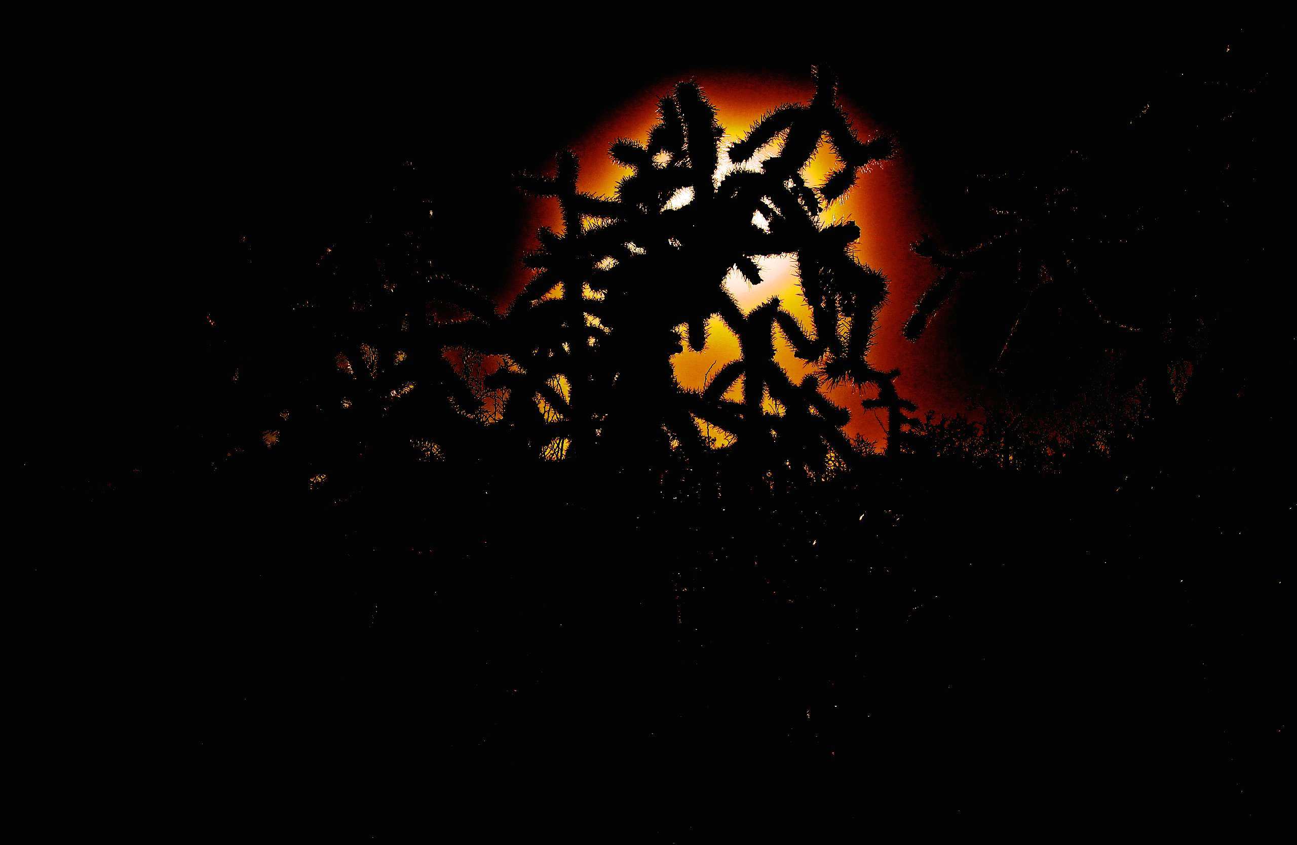
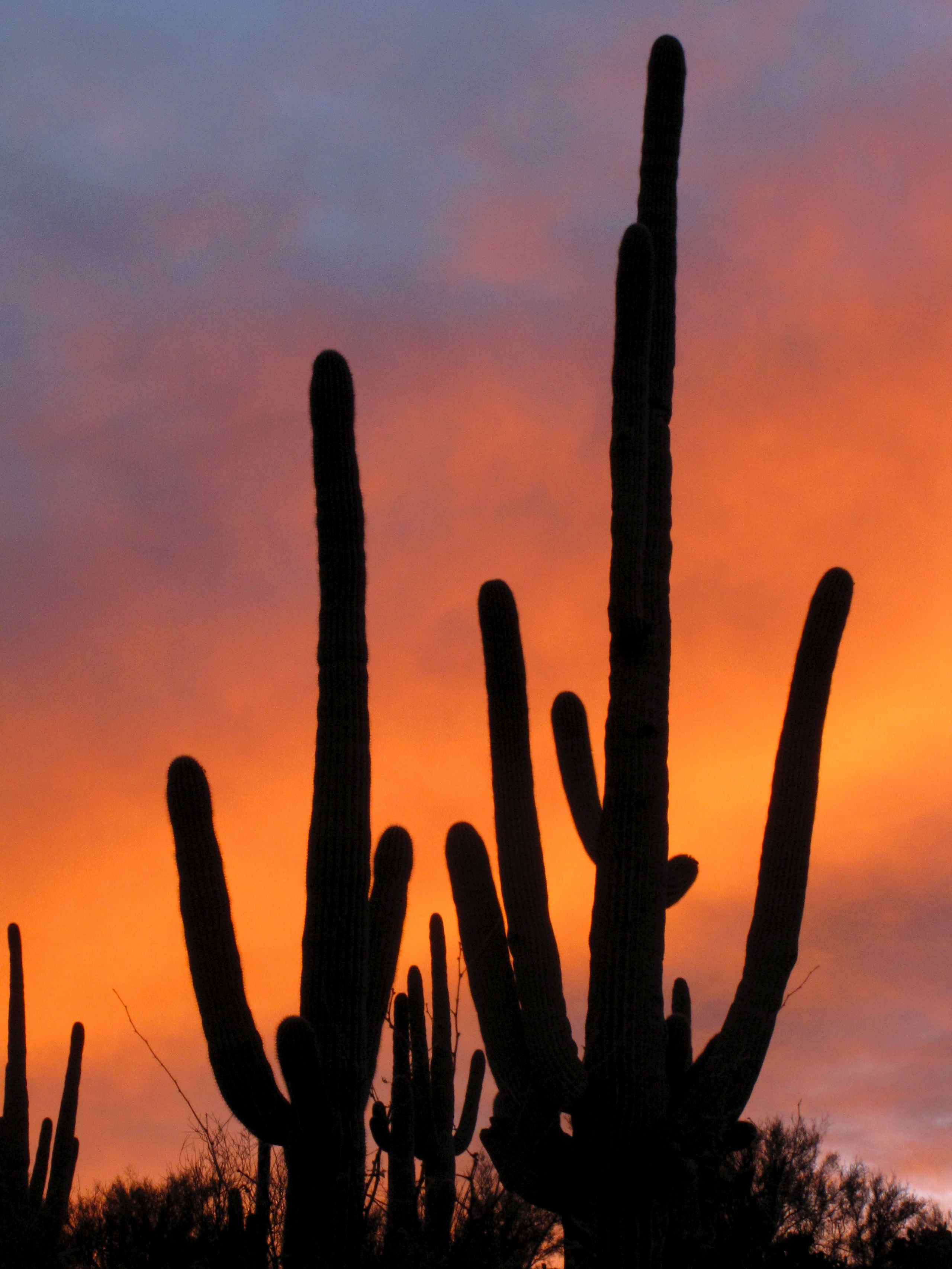
Cane Cholla Cactus (Cylindropuntia spinosior) at sunset
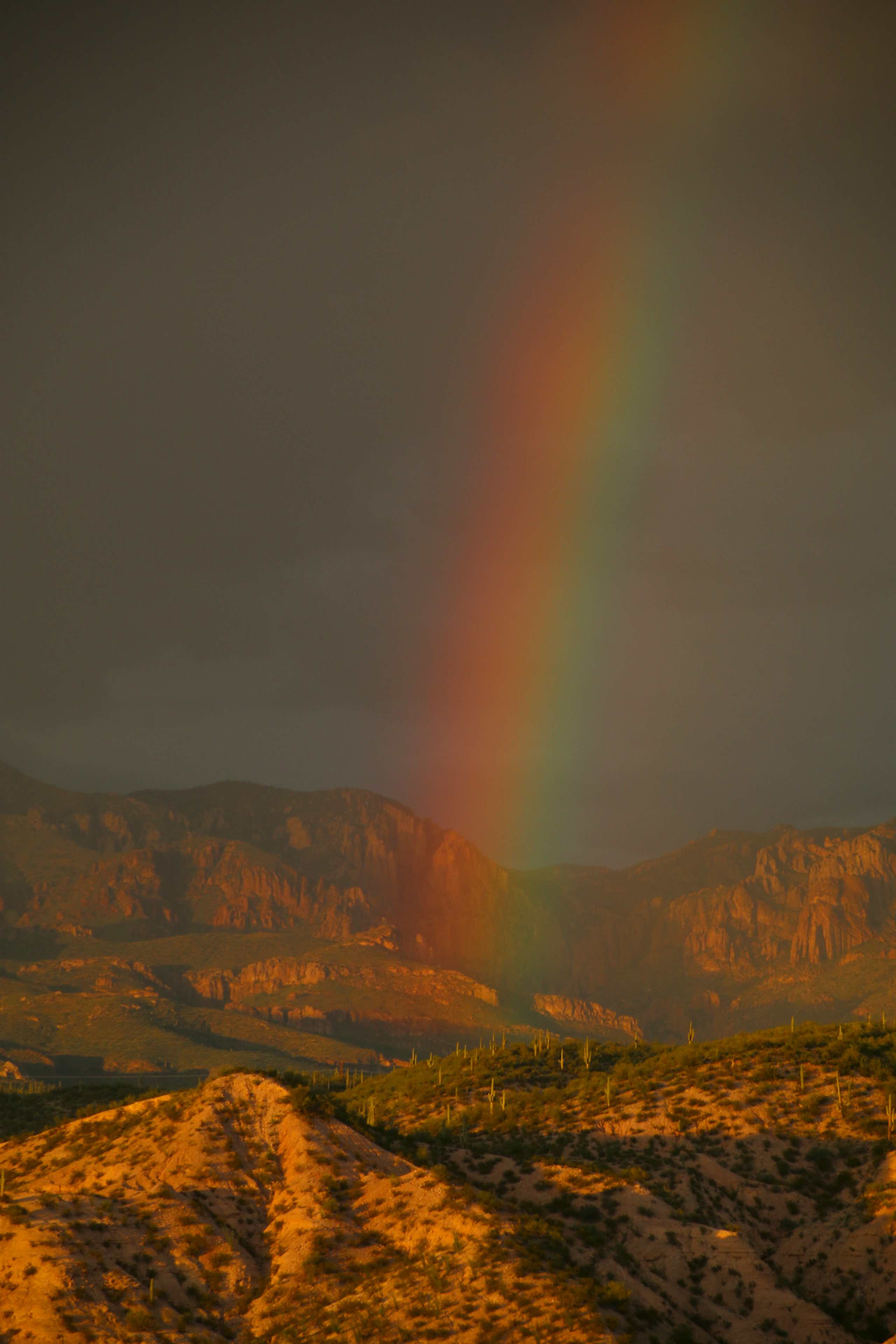
Sunset with rainbow over the Galiuro Mountains; San Pedro River Valley, AZ
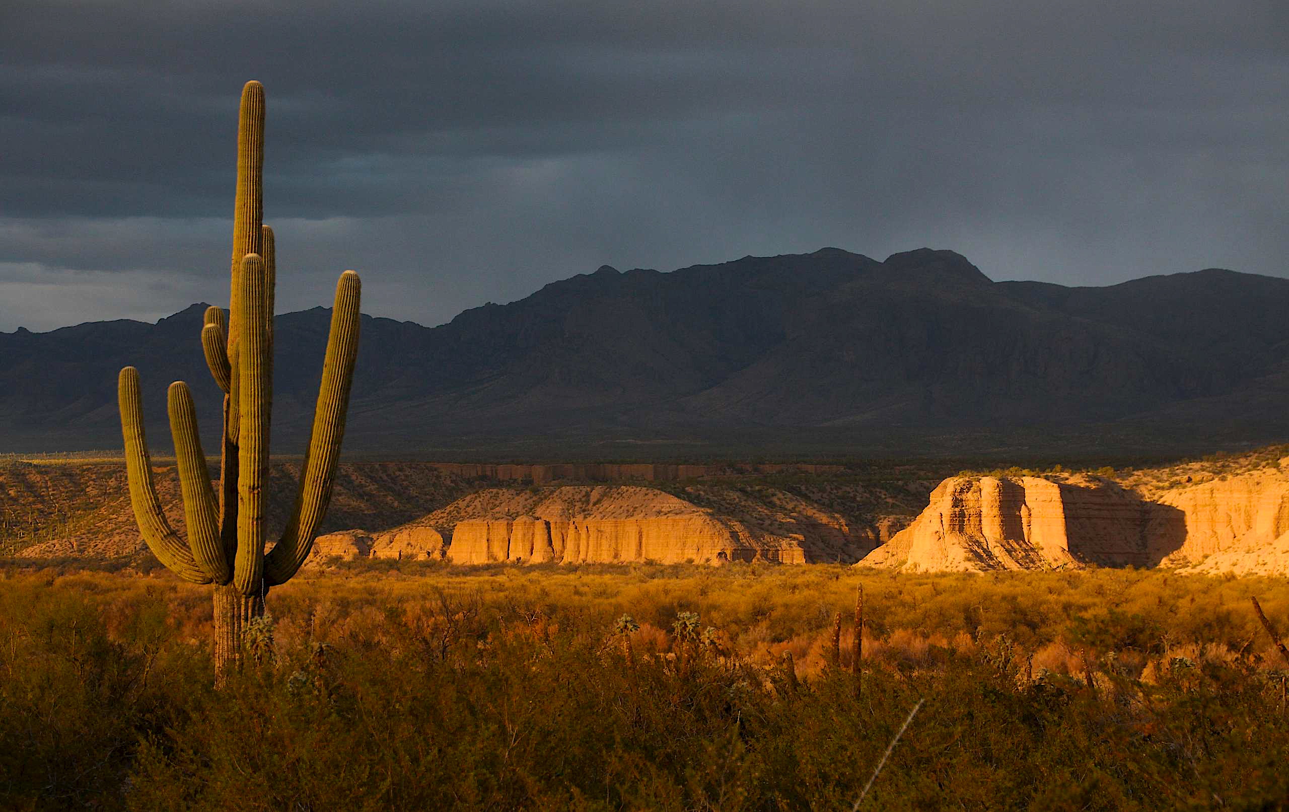
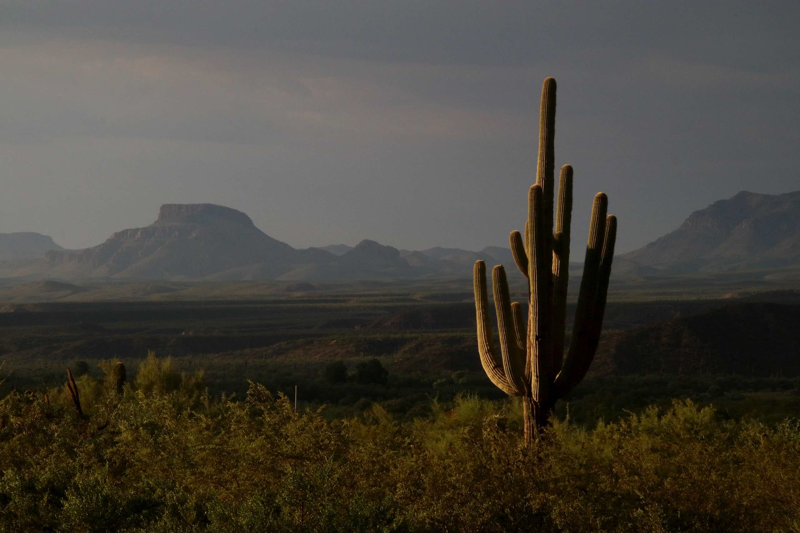
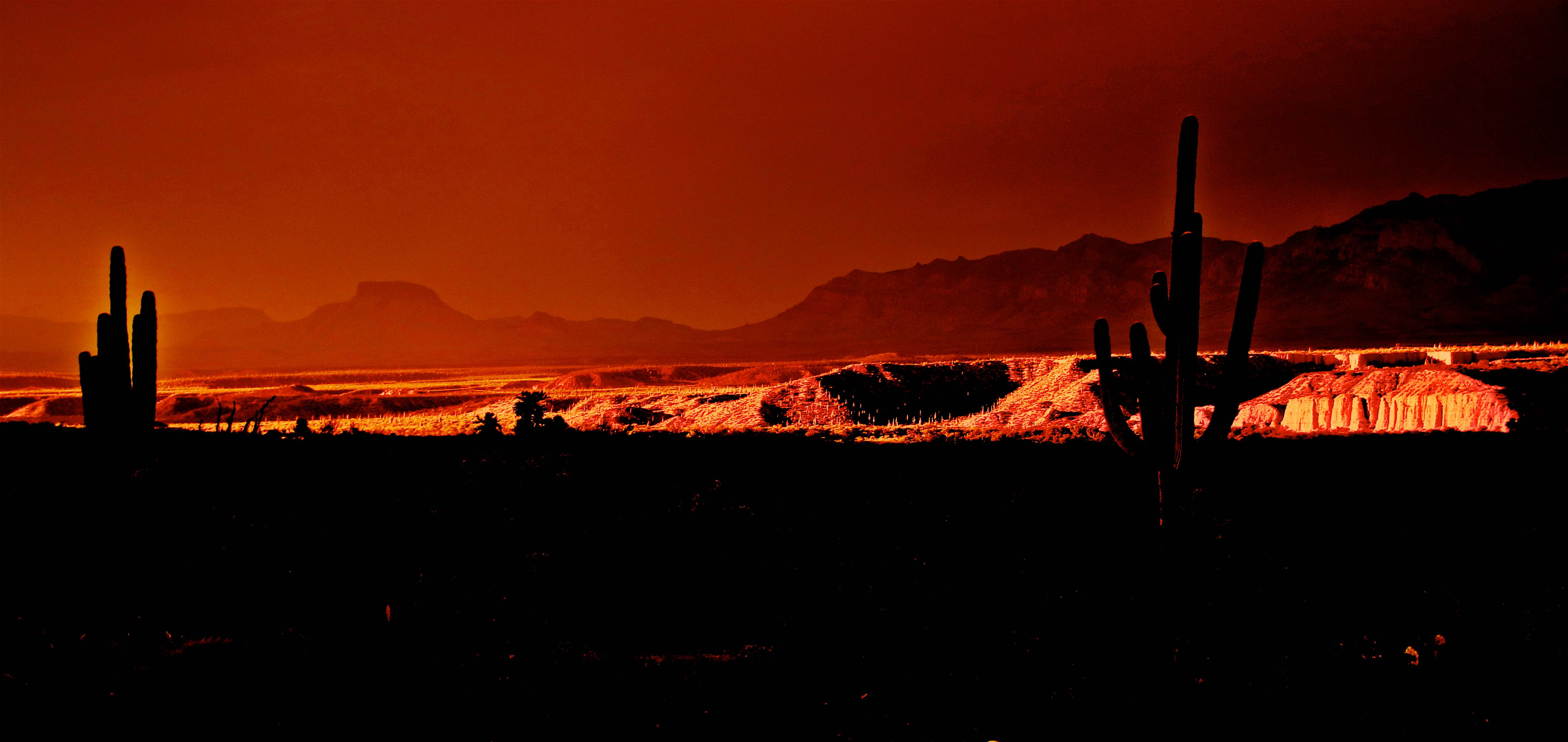
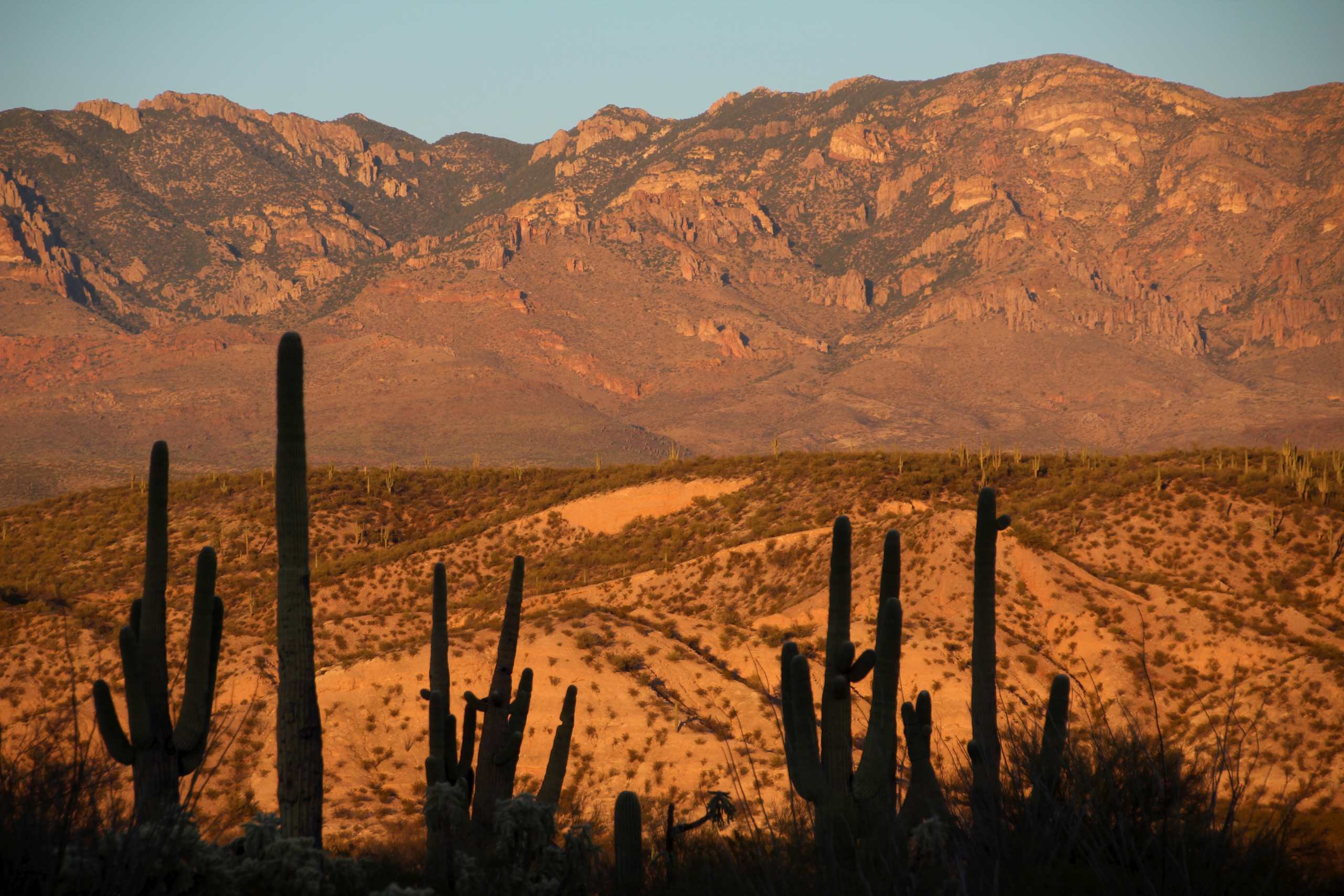
View of the Galiuro Mountains and Saguaro Cacti at sunset; San Pedro River Valley, AZ

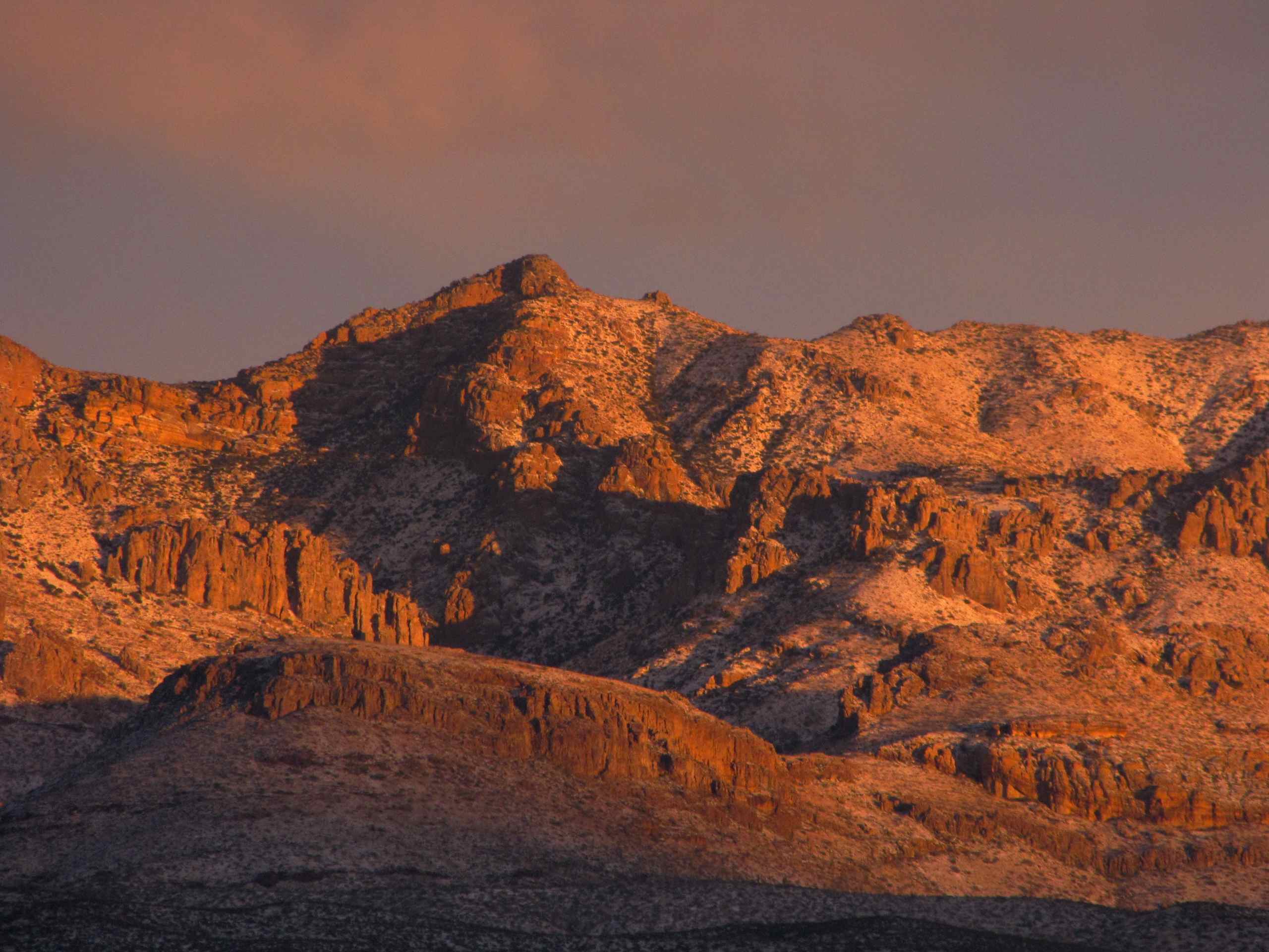
View of snow capped Galiuro Mountains; SE of San Manuel, AZ
View of snow capped Galiuro Mountains and Kielberg Canyon; SE of San Manuel, AZ
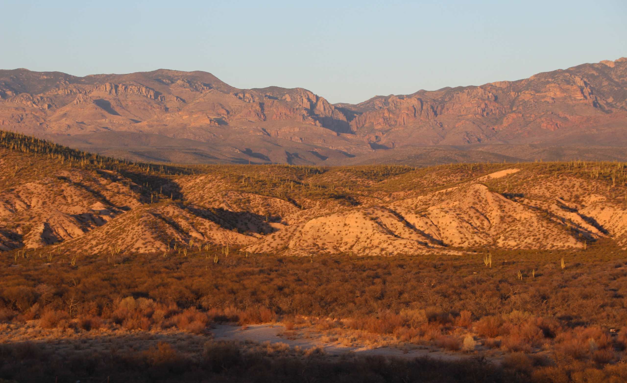
View of San Pedro River Valley and Galiuro Mountains near sunset; SE of San Manuel, AZ

Sunset over the Galiuro Mountains
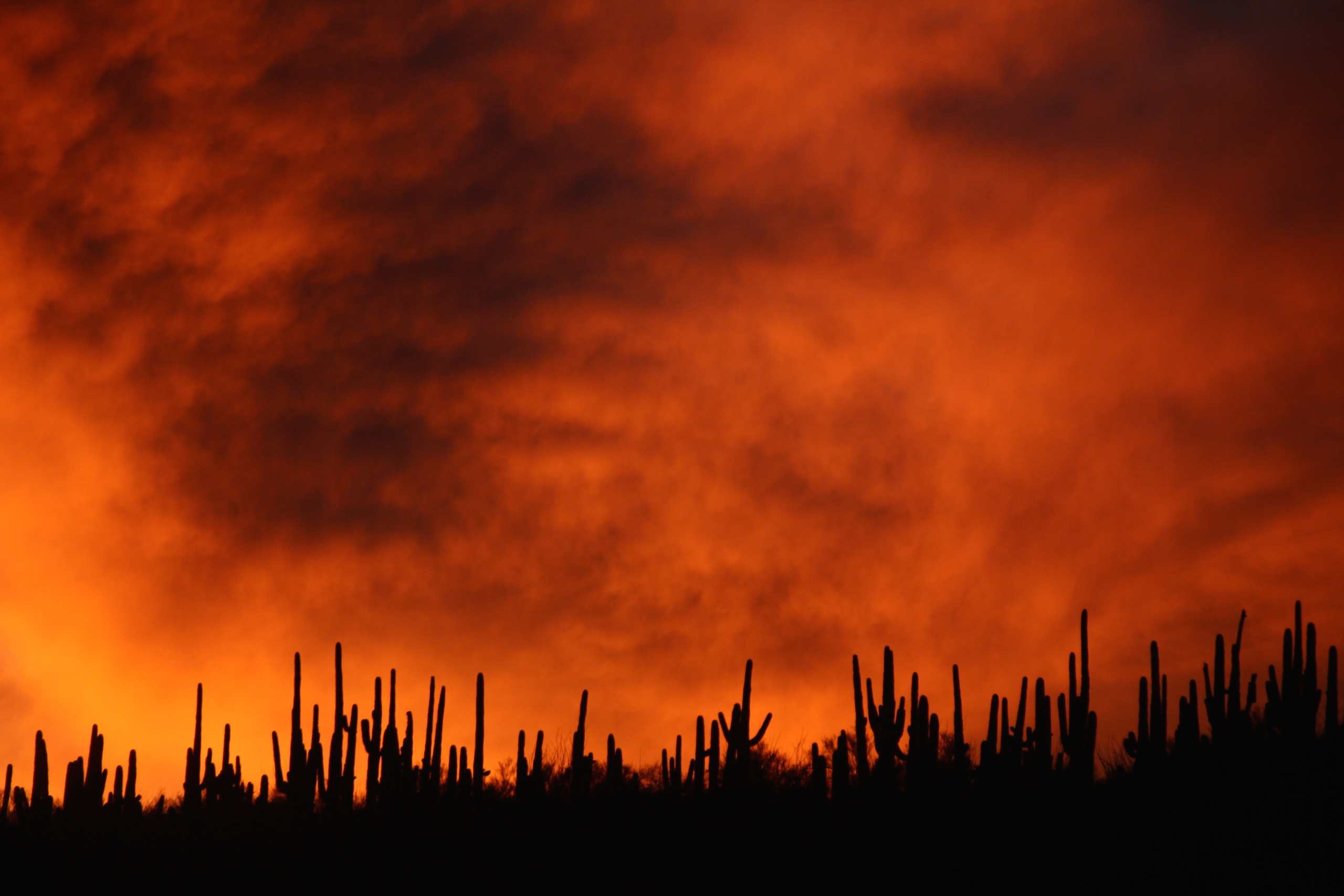
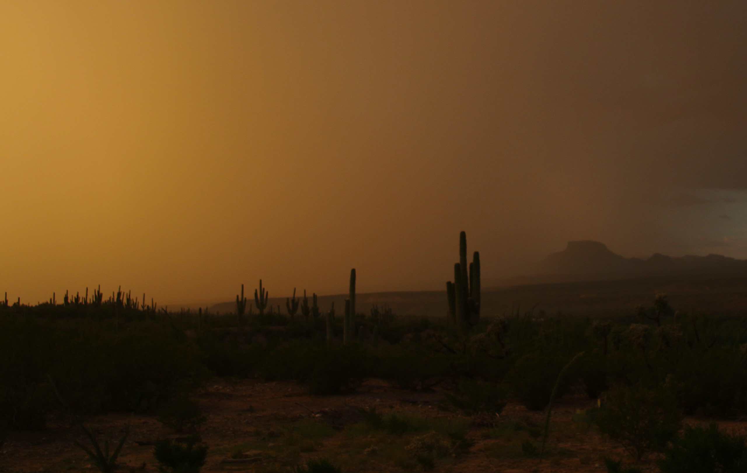
Sunset over Saguaro Cacti - San Pedro River Valley
Saguaro cacti at sunset; SE of San Manuel, AZ
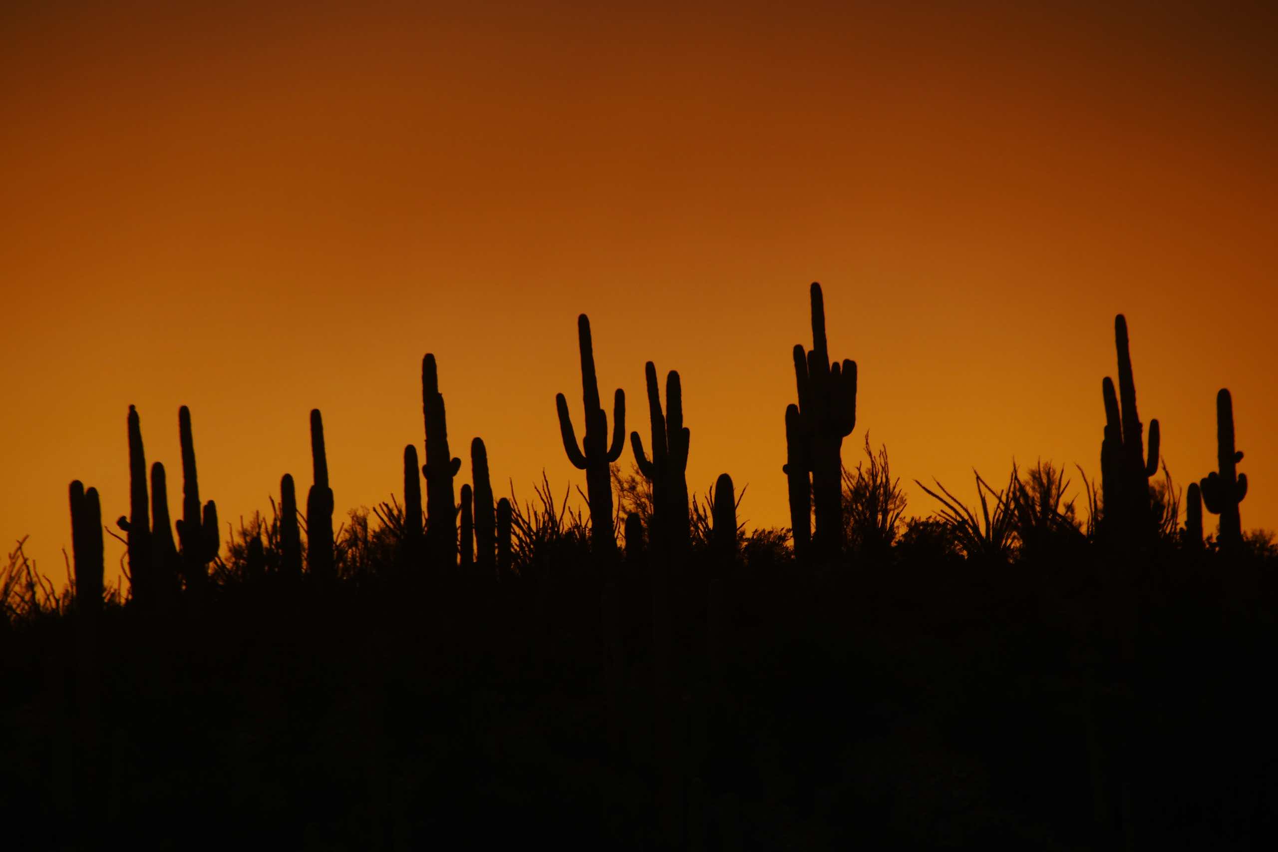
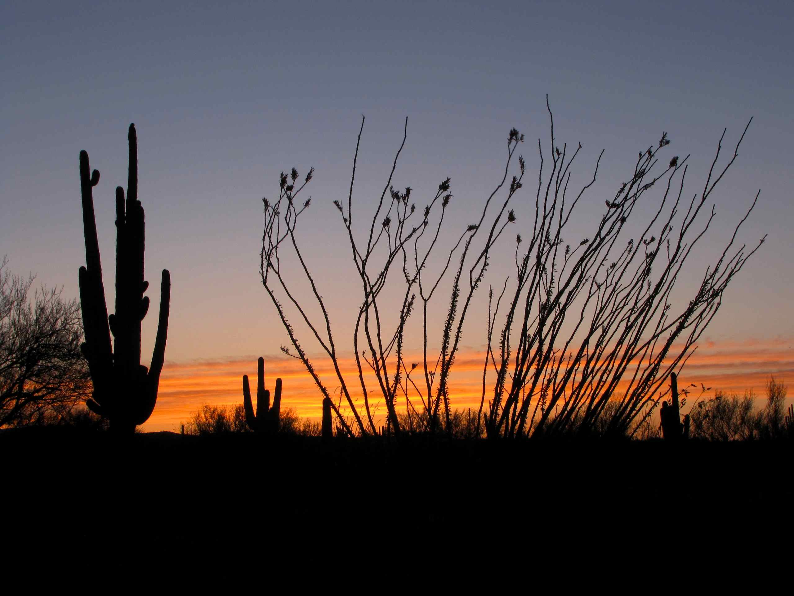
Saguaro Cacti and Ocotillos on ridge at sunset, San Pedro River Valley, AZ
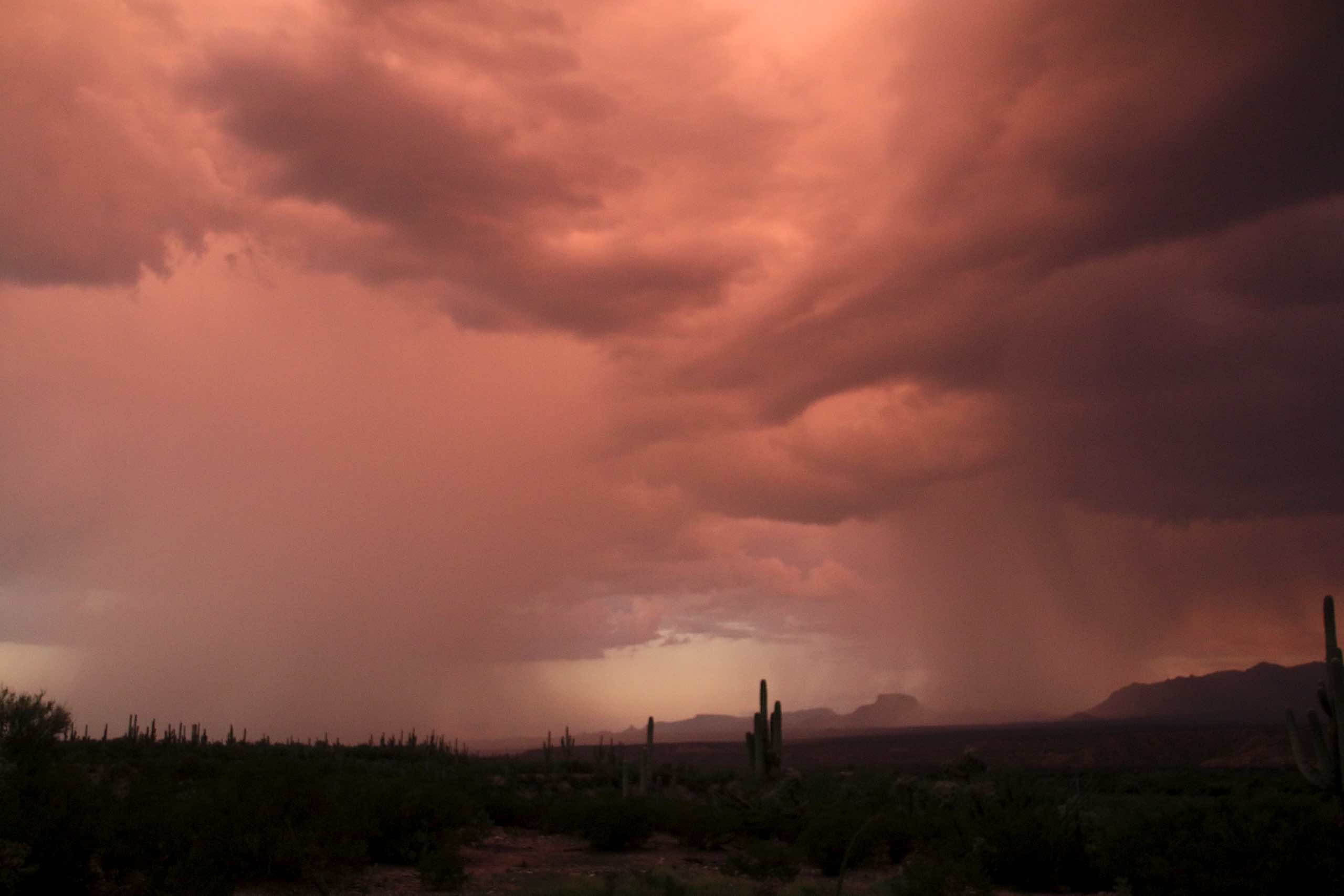
Rain clouds at sunset; San Pedro River Valley, SE of San Manuel, AZ
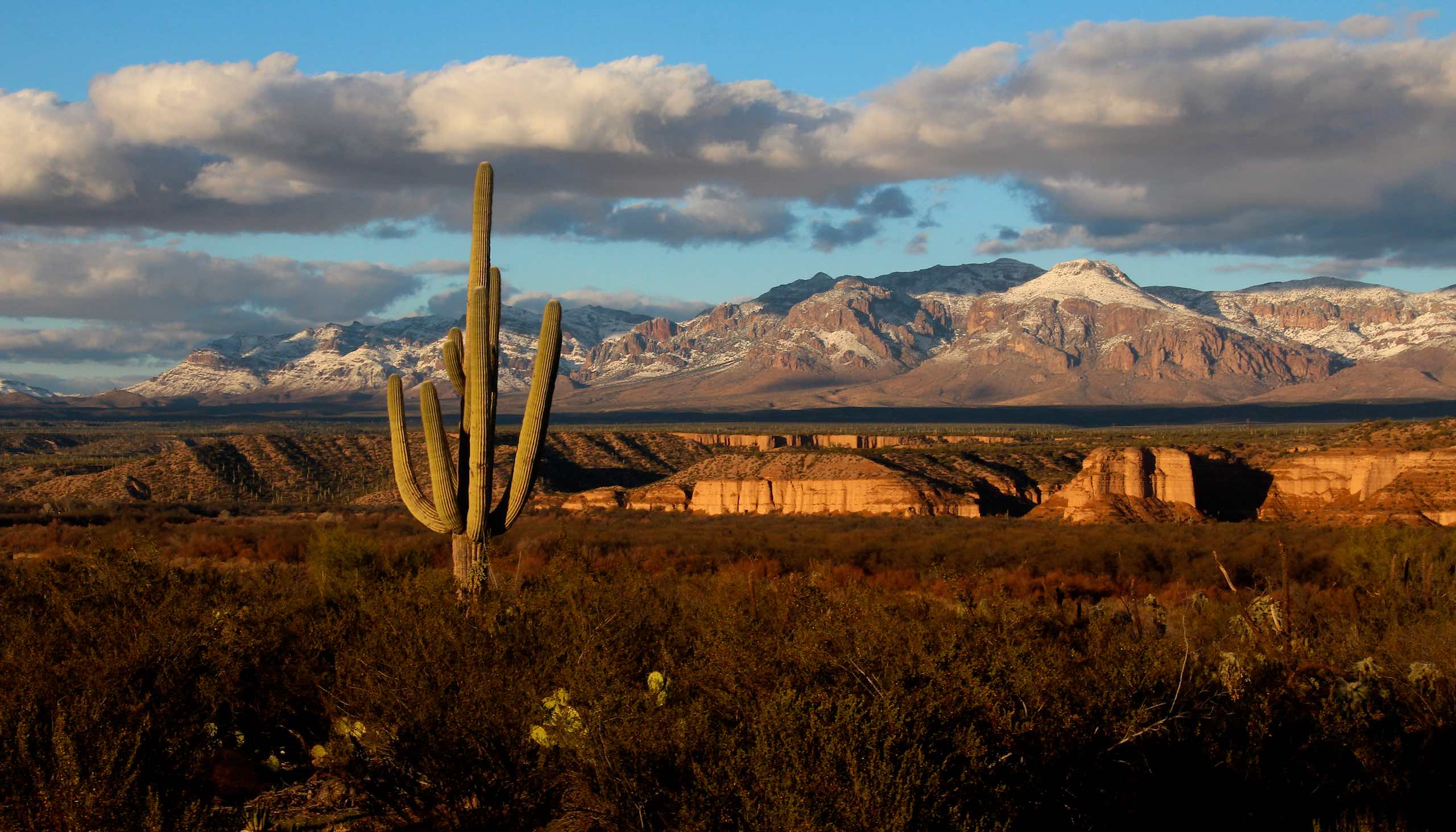
Snow on the Galiuro Mountains, San Pedro River Valley, SE of San Manuel, AZ
Sunset with rainclouds; San Pedro River Valley, AZ
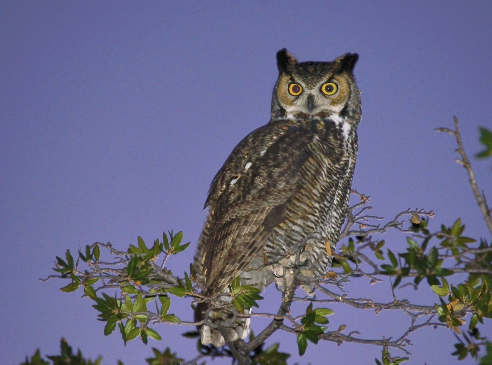
Great Horned Owl
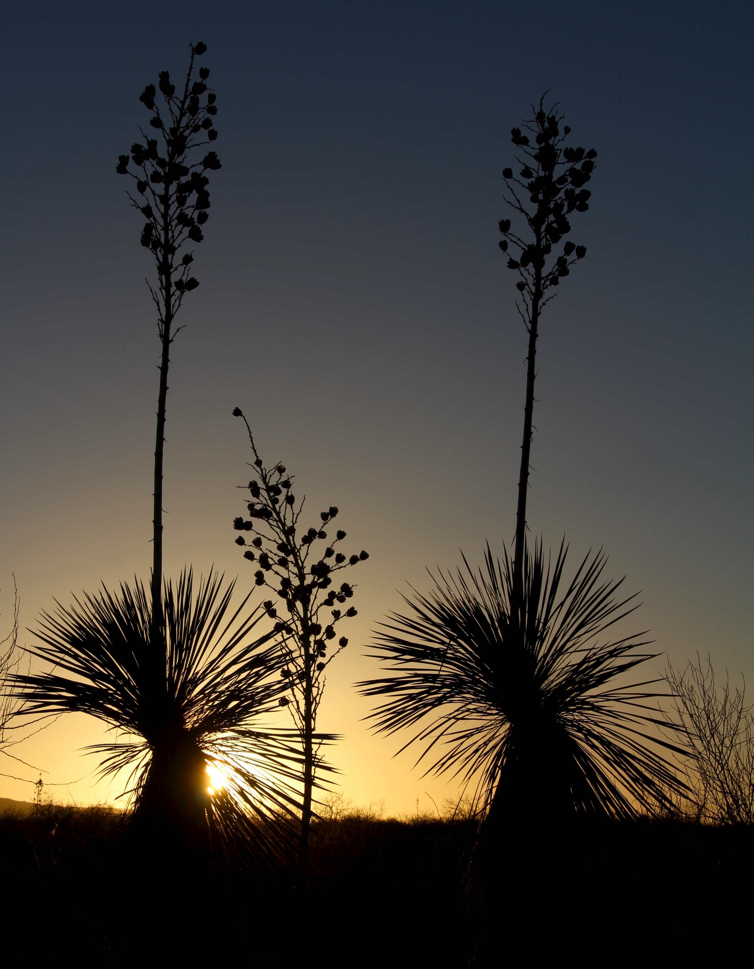
Soaptree Yucca (Yucca elata - Palmilla) at sunset; S of San Manuel, AZ
Sunset over the Galiuros, San Pedro River Valley, SE of San Manuel, AZ
Saguaro Cacti at sunset; Black Hills Mine Road, South of San Manuel, AZ
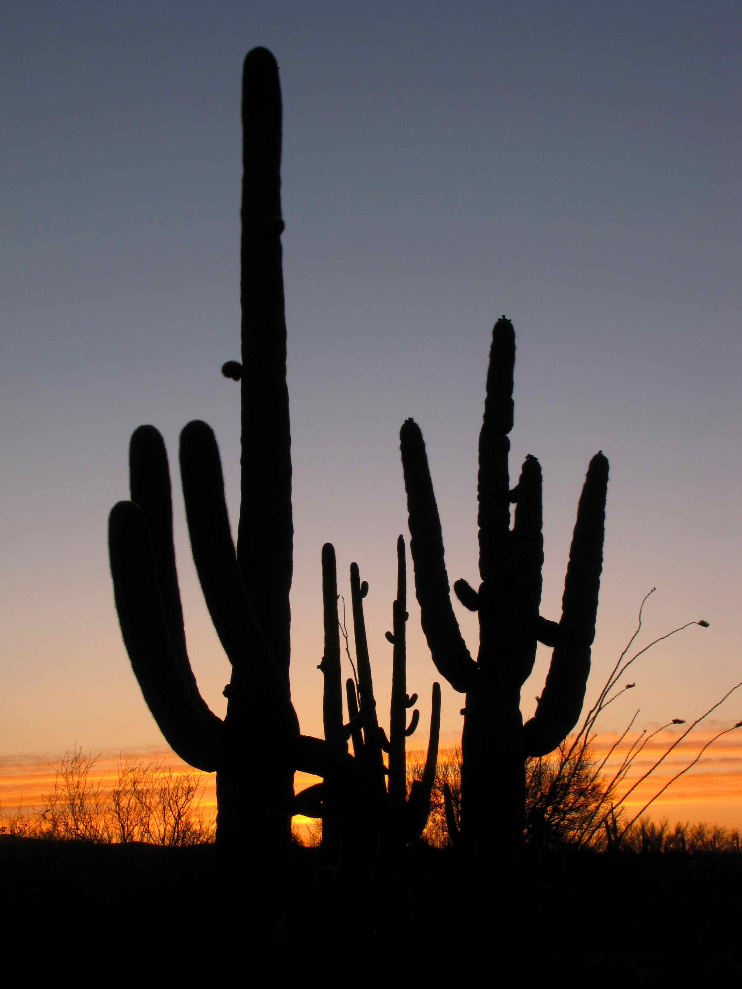
Saguaro Cacti at sunset; Black Hills Mine Road, S of San Manuel, AZ
Sunset with rainclouds; San Pedro River Valley, Arizona
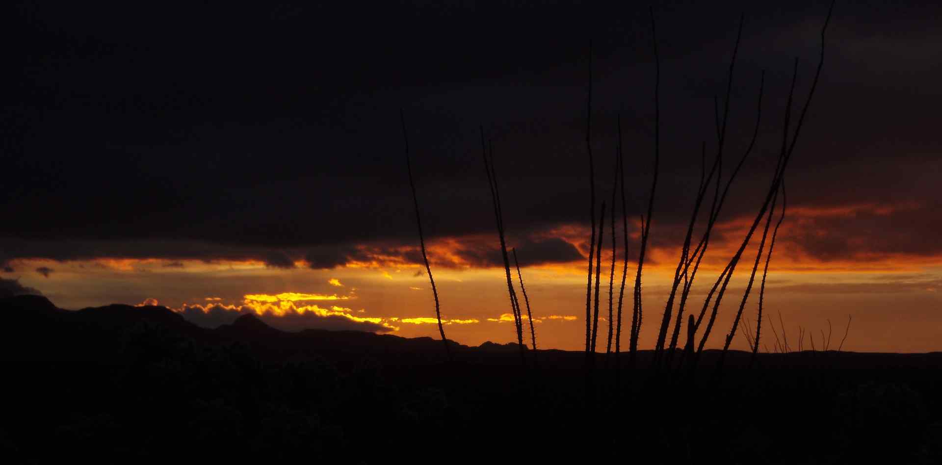
Sunrise with Ocotillos; San Pedro Valley, SE of San Manuel, AZ
Sunset over the Galiuro Mountains; SE of San Manuel, AZ

Mine Shuttle at Sunrise

Lower Oracle Ridge

Lower Oracle Ridge
S Ave B, San Manuel, AZ アメリカ合衆国の地図
別の場所を検索
近所の場所
アメリカ合衆国 アリゾナ州 サン・マニュエル
W 4th Ave, San Manuel, AZ アメリカ合衆国
W 3rd Ave, San Manuel, AZ アメリカ合衆国
N Redington Rd, Arizona, アメリカ合衆国ノース・レディントン・ロード
S Apache Girl Trail, San Manuel, AZ アメリカ合衆国
S Mt Lemmon Rd, Oracle, AZ アメリカ合衆国
Wildlife Dr, Oracle, AZ アメリカ合衆国オラクル州立公園
S Highjinks Rd, Oracle, AZ アメリカ合衆国
Main St, Mammoth, AZ アメリカ合衆国
アメリカ合衆国 〒 アリゾナ州 マンモス
N Cody Loop Rd, Oracle, AZ アメリカ合衆国
N John Adams St, Oracle, AZ アメリカ合衆国
N Bonito Dr, Oracle, AZ アメリカ合衆国
アメリカ合衆国 〒 アリゾナ州 オラクル
W American Ave, Oracle, AZ アメリカ合衆国The Oracle Patio Cafe and Market
W Linda Vista Rd, Oracle, AZ アメリカ合衆国
W La Osa St, Oracle, AZ アメリカ合衆国
Redington Rd, Benson, AZ アメリカ合衆国
N San Pedro River Rd, Benson, AZ アメリカ合衆国
N Triangle L Ranch Rd, Oracle, AZ アメリカ合衆国Triangle L Ranch Bed and Breakfast
最近の検索
- アメリカ合衆国 アラスカ州 レッド・ドッグ・マイン日の出日の入り時間
- Am bhf, Borken, ドイツアム・バーンホーフ日の出日の入り時間
- 4th St E, Sonoma, CA, USA日の出日の入り時間
- Oakland Ave, Williamsport, PA アメリカ合衆国日の出日の入り時間
- Via Roma, Pieranica CR, イタリアローマ通り日の出日の入り時間
- クロアチア 〒 ドゥブロブニク GradClock Tower of Dubrovnik日の出日の入り時間
- アルゼンチン チュブ州 トレリュー日の出日の入り時間
- Hartfords Bluff Cir, Mt Pleasant, SC アメリカ合衆国日の出日の入り時間
- 日本、熊本県熊本市北区日の出日の入り時間
- 中華人民共和国 福州市 平潭県 平潭島日の出日の入り時間