W Will Rogers Blvd, Claremore, OK アメリカ合衆国Rogers State University日の出日の入り時間
Location: アメリカ合衆国 > オクラホマ州 > ロジャーズ > アメリカ合衆国 オクラホマ州 クレアモア >
時間帯:
America/Chicago
現地時間:
2025-07-13 09:53:50
経度:
-95.639265
緯度:
36.3192003
今日の日の出時刻:
06:15:44 AM
今日の日の入時刻:
08:41:07 PM
今日の日長:
14h 25m 23s
明日の日の出時刻:
06:16:24 AM
明日の日の入時刻:
08:40:40 PM
明日の日長:
14h 24m 16s
すべて表示する
| 日付 | 日出 | 日没 | 日長 |
|---|---|---|---|
| 2025年01月01日 | 07:34:06 AM | 05:19:19 PM | 9h 45m 13s |
| 2025年01月02日 | 07:34:13 AM | 05:20:08 PM | 9h 45m 55s |
| 2025年01月03日 | 07:34:17 AM | 05:20:57 PM | 9h 46m 40s |
| 2025年01月04日 | 07:34:20 AM | 05:21:48 PM | 9h 47m 28s |
| 2025年01月05日 | 07:34:20 AM | 05:22:40 PM | 9h 48m 20s |
| 2025年01月06日 | 07:34:19 AM | 05:23:33 PM | 9h 49m 14s |
| 2025年01月07日 | 07:34:16 AM | 05:24:27 PM | 9h 50m 11s |
| 2025年01月08日 | 07:34:10 AM | 05:25:22 PM | 9h 51m 12s |
| 2025年01月09日 | 07:34:03 AM | 05:26:18 PM | 9h 52m 15s |
| 2025年01月10日 | 07:33:54 AM | 05:27:15 PM | 9h 53m 21s |
| 2025年01月11日 | 07:33:42 AM | 05:28:12 PM | 9h 54m 30s |
| 2025年01月12日 | 07:33:29 AM | 05:29:11 PM | 9h 55m 42s |
| 2025年01月13日 | 07:33:14 AM | 05:30:10 PM | 9h 56m 56s |
| 2025年01月14日 | 07:32:57 AM | 05:31:09 PM | 9h 58m 12s |
| 2025年01月15日 | 07:32:38 AM | 05:32:09 PM | 9h 59m 31s |
| 2025年01月16日 | 07:32:17 AM | 05:33:10 PM | 10h 0m 53s |
| 2025年01月17日 | 07:31:54 AM | 05:34:11 PM | 10h 2m 17s |
| 2025年01月18日 | 07:31:29 AM | 05:35:13 PM | 10h 3m 44s |
| 2025年01月19日 | 07:31:02 AM | 05:36:15 PM | 10h 5m 13s |
| 2025年01月20日 | 07:30:33 AM | 05:37:17 PM | 10h 6m 44s |
| 2025年01月21日 | 07:30:03 AM | 05:38:20 PM | 10h 8m 17s |
| 2025年01月22日 | 07:29:30 AM | 05:39:23 PM | 10h 9m 53s |
| 2025年01月23日 | 07:28:56 AM | 05:40:26 PM | 10h 11m 30s |
| 2025年01月24日 | 07:28:20 AM | 05:41:29 PM | 10h 13m 9s |
| 2025年01月25日 | 07:27:43 AM | 05:42:33 PM | 10h 14m 50s |
| 2025年01月26日 | 07:27:03 AM | 05:43:36 PM | 10h 16m 33s |
| 2025年01月27日 | 07:26:22 AM | 05:44:40 PM | 10h 18m 18s |
| 2025年01月28日 | 07:25:39 AM | 05:45:44 PM | 10h 20m 5s |
| 2025年01月29日 | 07:24:55 AM | 05:46:48 PM | 10h 21m 53s |
| 2025年01月30日 | 07:24:09 AM | 05:47:52 PM | 10h 23m 43s |
| 2025年01月31日 | 07:23:21 AM | 05:48:56 PM | 10h 25m 35s |
| 2025年02月01日 | 07:22:32 AM | 05:49:59 PM | 10h 27m 27s |
| 2025年02月02日 | 07:21:41 AM | 05:51:03 PM | 10h 29m 22s |
| 2025年02月03日 | 07:20:49 AM | 05:52:07 PM | 10h 31m 18s |
| 2025年02月04日 | 07:19:55 AM | 05:53:10 PM | 10h 33m 15s |
| 2025年02月05日 | 07:19:00 AM | 05:54:13 PM | 10h 35m 13s |
| 2025年02月06日 | 07:18:03 AM | 05:55:17 PM | 10h 37m 14s |
| 2025年02月07日 | 07:17:05 AM | 05:56:19 PM | 10h 39m 14s |
| 2025年02月08日 | 07:16:05 AM | 05:57:22 PM | 10h 41m 17s |
| 2025年02月09日 | 07:15:05 AM | 05:58:25 PM | 10h 43m 20s |
| 2025年02月10日 | 07:14:03 AM | 05:59:27 PM | 10h 45m 24s |
| 2025年02月11日 | 07:12:59 AM | 06:00:29 PM | 10h 47m 30s |
| 2025年02月12日 | 07:11:55 AM | 06:01:30 PM | 10h 49m 35s |
| 2025年02月13日 | 07:10:49 AM | 06:02:32 PM | 10h 51m 43s |
| 2025年02月14日 | 07:09:42 AM | 06:03:33 PM | 10h 53m 51s |
| 2025年02月15日 | 07:08:34 AM | 06:04:34 PM | 10h 56m 0s |
| 2025年02月16日 | 07:07:25 AM | 06:05:34 PM | 10h 58m 9s |
| 2025年02月17日 | 07:06:15 AM | 06:06:35 PM | 11h 0m 20s |
| 2025年02月18日 | 07:05:04 AM | 06:07:34 PM | 11h 2m 30s |
| 2025年02月19日 | 07:03:51 AM | 06:08:34 PM | 11h 4m 43s |
| 2025年02月20日 | 07:02:38 AM | 06:09:33 PM | 11h 6m 55s |
| 2025年02月21日 | 07:01:24 AM | 06:10:32 PM | 11h 9m 8s |
| 2025年02月22日 | 07:00:09 AM | 06:11:31 PM | 11h 11m 22s |
| 2025年02月23日 | 06:58:53 AM | 06:12:29 PM | 11h 13m 36s |
| 2025年02月24日 | 06:57:36 AM | 06:13:27 PM | 11h 15m 51s |
| 2025年02月25日 | 06:56:19 AM | 06:14:24 PM | 11h 18m 5s |
| 2025年02月26日 | 06:55:00 AM | 06:15:22 PM | 11h 20m 22s |
| 2025年02月27日 | 06:53:41 AM | 06:16:19 PM | 11h 22m 38s |
| 2025年02月28日 | 06:52:21 AM | 06:17:15 PM | 11h 24m 54s |
| 2025年03月01日 | 06:51:01 AM | 06:18:12 PM | 11h 27m 11s |
| 2025年03月02日 | 06:49:40 AM | 06:19:08 PM | 11h 29m 28s |
| 2025年03月03日 | 06:48:18 AM | 06:20:03 PM | 11h 31m 45s |
| 2025年03月04日 | 06:46:56 AM | 06:20:59 PM | 11h 34m 3s |
| 2025年03月05日 | 06:45:33 AM | 06:21:54 PM | 11h 36m 21s |
| 2025年03月06日 | 06:44:10 AM | 06:22:49 PM | 11h 38m 39s |
| 2025年03月07日 | 06:42:46 AM | 06:23:43 PM | 11h 40m 57s |
| 2025年03月08日 | 06:41:21 AM | 06:24:37 PM | 11h 43m 16s |
| 2025年03月09日 | 07:40:00 AM | 07:25:29 PM | 11h 45m 29s |
| 2025年03月10日 | 07:38:35 AM | 07:26:23 PM | 11h 47m 48s |
| 2025年03月11日 | 07:37:09 AM | 07:27:17 PM | 11h 50m 8s |
| 2025年03月12日 | 07:35:43 AM | 07:28:10 PM | 11h 52m 27s |
| 2025年03月13日 | 07:34:17 AM | 07:29:03 PM | 11h 54m 46s |
| 2025年03月14日 | 07:32:51 AM | 07:29:56 PM | 11h 57m 5s |
| 2025年03月15日 | 07:31:24 AM | 07:30:49 PM | 11h 59m 25s |
| 2025年03月16日 | 07:29:57 AM | 07:31:41 PM | 12h 1m 44s |
| 2025年03月17日 | 07:28:30 AM | 07:32:33 PM | 12h 4m 3s |
| 2025年03月18日 | 07:27:03 AM | 07:33:26 PM | 12h 6m 23s |
| 2025年03月19日 | 07:25:35 AM | 07:34:18 PM | 12h 8m 43s |
| 2025年03月20日 | 07:24:08 AM | 07:35:10 PM | 12h 11m 2s |
| 2025年03月21日 | 07:22:40 AM | 07:36:01 PM | 12h 13m 21s |
| 2025年03月22日 | 07:21:13 AM | 07:36:53 PM | 12h 15m 40s |
| 2025年03月23日 | 07:19:45 AM | 07:37:44 PM | 12h 17m 59s |
| 2025年03月24日 | 07:18:17 AM | 07:38:36 PM | 12h 20m 19s |
| 2025年03月25日 | 07:16:50 AM | 07:39:27 PM | 12h 22m 37s |
| 2025年03月26日 | 07:15:22 AM | 07:40:18 PM | 12h 24m 56s |
| 2025年03月27日 | 07:13:55 AM | 07:41:10 PM | 12h 27m 15s |
| 2025年03月28日 | 07:12:28 AM | 07:42:01 PM | 12h 29m 33s |
| 2025年03月29日 | 07:11:01 AM | 07:42:52 PM | 12h 31m 51s |
| 2025年03月30日 | 07:09:34 AM | 07:43:43 PM | 12h 34m 9s |
| 2025年03月31日 | 07:08:07 AM | 07:44:34 PM | 12h 36m 27s |
| 2025年04月01日 | 07:06:41 AM | 07:45:25 PM | 12h 38m 44s |
| 2025年04月02日 | 07:05:15 AM | 07:46:16 PM | 12h 41m 1s |
| 2025年04月03日 | 07:03:49 AM | 07:47:07 PM | 12h 43m 18s |
| 2025年04月04日 | 07:02:23 AM | 07:47:58 PM | 12h 45m 35s |
| 2025年04月05日 | 07:00:58 AM | 07:48:49 PM | 12h 47m 51s |
| 2025年04月06日 | 06:59:34 AM | 07:49:40 PM | 12h 50m 6s |
| 2025年04月07日 | 06:58:09 AM | 07:50:31 PM | 12h 52m 22s |
| 2025年04月08日 | 06:56:46 AM | 07:51:22 PM | 12h 54m 36s |
| 2025年04月09日 | 06:55:22 AM | 07:52:13 PM | 12h 56m 51s |
| 2025年04月10日 | 06:54:00 AM | 07:53:04 PM | 12h 59m 4s |
| 2025年04月11日 | 06:52:37 AM | 07:53:56 PM | 13h 1m 19s |
| 2025年04月12日 | 06:51:16 AM | 07:54:47 PM | 13h 3m 31s |
| 2025年04月13日 | 06:49:55 AM | 07:55:38 PM | 13h 5m 43s |
| 2025年04月14日 | 06:48:34 AM | 07:56:30 PM | 13h 7m 56s |
| 2025年04月15日 | 06:47:14 AM | 07:57:21 PM | 13h 10m 7s |
| 2025年04月16日 | 06:45:55 AM | 07:58:12 PM | 13h 12m 17s |
| 2025年04月17日 | 06:44:37 AM | 07:59:04 PM | 13h 14m 27s |
| 2025年04月18日 | 06:43:20 AM | 07:59:56 PM | 13h 16m 36s |
| 2025年04月19日 | 06:42:03 AM | 08:00:47 PM | 13h 18m 44s |
| 2025年04月20日 | 06:40:47 AM | 08:01:39 PM | 13h 20m 52s |
| 2025年04月21日 | 06:39:32 AM | 08:02:31 PM | 13h 22m 59s |
| 2025年04月22日 | 06:38:18 AM | 08:03:22 PM | 13h 25m 4s |
| 2025年04月23日 | 06:37:04 AM | 08:04:14 PM | 13h 27m 10s |
| 2025年04月24日 | 06:35:52 AM | 08:05:06 PM | 13h 29m 14s |
| 2025年04月25日 | 06:34:40 AM | 08:05:58 PM | 13h 31m 18s |
| 2025年04月26日 | 06:33:30 AM | 08:06:50 PM | 13h 33m 20s |
| 2025年04月27日 | 06:32:20 AM | 08:07:41 PM | 13h 35m 21s |
| 2025年04月28日 | 06:31:12 AM | 08:08:33 PM | 13h 37m 21s |
| 2025年04月29日 | 06:30:05 AM | 08:09:25 PM | 13h 39m 20s |
| 2025年04月30日 | 06:28:58 AM | 08:10:17 PM | 13h 41m 19s |
| 2025年05月01日 | 06:27:53 AM | 08:11:09 PM | 13h 43m 16s |
| 2025年05月02日 | 06:26:49 AM | 08:12:00 PM | 13h 45m 11s |
| 2025年05月03日 | 06:25:47 AM | 08:12:52 PM | 13h 47m 5s |
| 2025年05月04日 | 06:24:45 AM | 08:13:43 PM | 13h 48m 58s |
| 2025年05月05日 | 06:23:45 AM | 08:14:35 PM | 13h 50m 50s |
| 2025年05月06日 | 06:22:46 AM | 08:15:26 PM | 13h 52m 40s |
| 2025年05月07日 | 06:21:48 AM | 08:16:17 PM | 13h 54m 29s |
| 2025年05月08日 | 06:20:52 AM | 08:17:08 PM | 13h 56m 16s |
| 2025年05月09日 | 06:19:57 AM | 08:17:58 PM | 13h 58m 1s |
| 2025年05月10日 | 06:19:03 AM | 08:18:49 PM | 13h 59m 46s |
| 2025年05月11日 | 06:18:11 AM | 08:19:39 PM | 14h 1m 28s |
| 2025年05月12日 | 06:17:20 AM | 08:20:29 PM | 14h 3m 9s |
| 2025年05月13日 | 06:16:30 AM | 08:21:19 PM | 14h 4m 49s |
| 2025年05月14日 | 06:15:42 AM | 08:22:08 PM | 14h 6m 26s |
| 2025年05月15日 | 06:14:56 AM | 08:22:57 PM | 14h 8m 1s |
| 2025年05月16日 | 06:14:11 AM | 08:23:46 PM | 14h 9m 35s |
| 2025年05月17日 | 06:13:27 AM | 08:24:34 PM | 14h 11m 7s |
| 2025年05月18日 | 06:12:45 AM | 08:25:21 PM | 14h 12m 36s |
| 2025年05月19日 | 06:12:05 AM | 08:26:09 PM | 14h 14m 4s |
| 2025年05月20日 | 06:11:26 AM | 08:26:55 PM | 14h 15m 29s |
| 2025年05月21日 | 06:10:49 AM | 08:27:42 PM | 14h 16m 53s |
| 2025年05月22日 | 06:10:13 AM | 08:28:27 PM | 14h 18m 14s |
| 2025年05月23日 | 06:09:39 AM | 08:29:12 PM | 14h 19m 33s |
| 2025年05月24日 | 06:09:07 AM | 08:29:56 PM | 14h 20m 49s |
| 2025年05月25日 | 06:08:36 AM | 08:30:40 PM | 14h 22m 4s |
| 2025年05月26日 | 06:08:07 AM | 08:31:23 PM | 14h 23m 16s |
| 2025年05月27日 | 06:07:40 AM | 08:32:05 PM | 14h 24m 25s |
| 2025年05月28日 | 06:07:14 AM | 08:32:47 PM | 14h 25m 33s |
| 2025年05月29日 | 06:06:51 AM | 08:33:27 PM | 14h 26m 36s |
| 2025年05月30日 | 06:06:28 AM | 08:34:07 PM | 14h 27m 39s |
| 2025年05月31日 | 06:06:08 AM | 08:34:46 PM | 14h 28m 38s |
| 2025年06月01日 | 06:05:49 AM | 08:35:23 PM | 14h 29m 34s |
| 2025年06月02日 | 06:05:32 AM | 08:36:00 PM | 14h 30m 28s |
| 2025年06月03日 | 06:05:17 AM | 08:36:36 PM | 14h 31m 19s |
| 2025年06月04日 | 06:05:03 AM | 08:37:11 PM | 14h 32m 8s |
| 2025年06月05日 | 06:04:51 AM | 08:37:45 PM | 14h 32m 54s |
| 2025年06月06日 | 06:04:41 AM | 08:38:17 PM | 14h 33m 36s |
| 2025年06月07日 | 06:04:33 AM | 08:38:49 PM | 14h 34m 16s |
| 2025年06月08日 | 06:04:26 AM | 08:39:19 PM | 14h 34m 53s |
| 2025年06月09日 | 06:04:21 AM | 08:39:48 PM | 14h 35m 27s |
| 2025年06月10日 | 06:04:18 AM | 08:40:15 PM | 14h 35m 57s |
| 2025年06月11日 | 06:04:16 AM | 08:40:42 PM | 14h 36m 26s |
| 2025年06月12日 | 06:04:16 AM | 08:41:07 PM | 14h 36m 51s |
| 2025年06月13日 | 06:04:18 AM | 08:41:31 PM | 14h 37m 13s |
| 2025年06月14日 | 06:04:21 AM | 08:41:53 PM | 14h 37m 32s |
| 2025年06月15日 | 06:04:26 AM | 08:42:14 PM | 14h 37m 48s |
| 2025年06月16日 | 06:04:33 AM | 08:42:33 PM | 14h 38m 0s |
| 2025年06月17日 | 06:04:41 AM | 08:42:51 PM | 14h 38m 10s |
| 2025年06月18日 | 06:04:51 AM | 08:43:07 PM | 14h 38m 16s |
| 2025年06月19日 | 06:05:02 AM | 08:43:22 PM | 14h 38m 20s |
| 2025年06月20日 | 06:05:15 AM | 08:43:35 PM | 14h 38m 20s |
| 2025年06月21日 | 06:05:30 AM | 08:43:47 PM | 14h 38m 17s |
| 2025年06月22日 | 06:05:45 AM | 08:43:57 PM | 14h 38m 12s |
| 2025年06月23日 | 06:06:03 AM | 08:44:06 PM | 14h 38m 3s |
| 2025年06月24日 | 06:06:22 AM | 08:44:12 PM | 14h 37m 50s |
| 2025年06月25日 | 06:06:42 AM | 08:44:17 PM | 14h 37m 35s |
| 2025年06月26日 | 06:07:03 AM | 08:44:21 PM | 14h 37m 18s |
| 2025年06月27日 | 06:07:26 AM | 08:44:23 PM | 14h 36m 57s |
| 2025年06月28日 | 06:07:50 AM | 08:44:23 PM | 14h 36m 33s |
| 2025年06月29日 | 06:08:16 AM | 08:44:21 PM | 14h 36m 5s |
| 2025年06月30日 | 06:08:42 AM | 08:44:17 PM | 14h 35m 35s |
| 2025年07月01日 | 06:09:10 AM | 08:44:12 PM | 14h 35m 2s |
| 2025年07月02日 | 06:09:39 AM | 08:44:05 PM | 14h 34m 26s |
| 2025年07月03日 | 06:10:09 AM | 08:43:57 PM | 14h 33m 48s |
| 2025年07月04日 | 06:10:41 AM | 08:43:46 PM | 14h 33m 5s |
| 2025年07月05日 | 06:11:13 AM | 08:43:34 PM | 14h 32m 21s |
| 2025年07月06日 | 06:11:46 AM | 08:43:20 PM | 14h 31m 34s |
| 2025年07月07日 | 06:12:21 AM | 08:43:04 PM | 14h 30m 43s |
| 2025年07月08日 | 06:12:56 AM | 08:42:47 PM | 14h 29m 51s |
| 2025年07月09日 | 06:13:32 AM | 08:42:27 PM | 14h 28m 55s |
| 2025年07月10日 | 06:14:09 AM | 08:42:06 PM | 14h 27m 57s |
| 2025年07月11日 | 06:14:47 AM | 08:41:43 PM | 14h 26m 56s |
| 2025年07月12日 | 06:15:26 AM | 08:41:19 PM | 14h 25m 53s |
| 2025年07月13日 | 06:16:06 AM | 08:40:53 PM | 14h 24m 47s |
| 2025年07月14日 | 06:16:46 AM | 08:40:25 PM | 14h 23m 39s |
| 2025年07月15日 | 06:17:27 AM | 08:39:55 PM | 14h 22m 28s |
| 2025年07月16日 | 06:18:08 AM | 08:39:23 PM | 14h 21m 15s |
| 2025年07月17日 | 06:18:51 AM | 08:38:50 PM | 14h 19m 59s |
| 2025年07月18日 | 06:19:34 AM | 08:38:16 PM | 14h 18m 42s |
| 2025年07月19日 | 06:20:17 AM | 08:37:39 PM | 14h 17m 22s |
| 2025年07月20日 | 06:21:01 AM | 08:37:01 PM | 14h 16m 0s |
| 2025年07月21日 | 06:21:45 AM | 08:36:21 PM | 14h 14m 36s |
| 2025年07月22日 | 06:22:30 AM | 08:35:40 PM | 14h 13m 10s |
| 2025年07月23日 | 06:23:15 AM | 08:34:57 PM | 14h 11m 42s |
| 2025年07月24日 | 06:24:01 AM | 08:34:13 PM | 14h 10m 12s |
| 2025年07月25日 | 06:24:47 AM | 08:33:26 PM | 14h 8m 39s |
| 2025年07月26日 | 06:25:33 AM | 08:32:39 PM | 14h 7m 6s |
| 2025年07月27日 | 06:26:20 AM | 08:31:50 PM | 14h 5m 30s |
| 2025年07月28日 | 06:27:07 AM | 08:30:59 PM | 14h 3m 52s |
| 2025年07月29日 | 06:27:54 AM | 08:30:07 PM | 14h 2m 13s |
| 2025年07月30日 | 06:28:41 AM | 08:29:14 PM | 14h 0m 33s |
| 2025年07月31日 | 06:29:29 AM | 08:28:19 PM | 13h 58m 50s |
| 2025年08月01日 | 06:30:16 AM | 08:27:23 PM | 13h 57m 7s |
| 2025年08月02日 | 06:31:04 AM | 08:26:25 PM | 13h 55m 21s |
| 2025年08月03日 | 06:31:52 AM | 08:25:26 PM | 13h 53m 34s |
| 2025年08月04日 | 06:32:40 AM | 08:24:26 PM | 13h 51m 46s |
| 2025年08月05日 | 06:33:28 AM | 08:23:24 PM | 13h 49m 56s |
| 2025年08月06日 | 06:34:17 AM | 08:22:21 PM | 13h 48m 4s |
| 2025年08月07日 | 06:35:05 AM | 08:21:17 PM | 13h 46m 12s |
| 2025年08月08日 | 06:35:53 AM | 08:20:12 PM | 13h 44m 19s |
| 2025年08月09日 | 06:36:42 AM | 08:19:06 PM | 13h 42m 24s |
| 2025年08月10日 | 06:37:30 AM | 08:17:58 PM | 13h 40m 28s |
| 2025年08月11日 | 06:38:19 AM | 08:16:49 PM | 13h 38m 30s |
| 2025年08月12日 | 06:39:07 AM | 08:15:40 PM | 13h 36m 33s |
| 2025年08月13日 | 06:39:55 AM | 08:14:29 PM | 13h 34m 34s |
| 2025年08月14日 | 06:40:44 AM | 08:13:17 PM | 13h 32m 33s |
| 2025年08月15日 | 06:41:32 AM | 08:12:04 PM | 13h 30m 32s |
| 2025年08月16日 | 06:42:20 AM | 08:10:50 PM | 13h 28m 30s |
| 2025年08月17日 | 06:43:08 AM | 08:09:35 PM | 13h 26m 27s |
| 2025年08月18日 | 06:43:56 AM | 08:08:20 PM | 13h 24m 24s |
| 2025年08月19日 | 06:44:44 AM | 08:07:03 PM | 13h 22m 19s |
| 2025年08月20日 | 06:45:32 AM | 08:05:45 PM | 13h 20m 13s |
| 2025年08月21日 | 06:46:20 AM | 08:04:27 PM | 13h 18m 7s |
| 2025年08月22日 | 06:47:08 AM | 08:03:08 PM | 13h 16m 0s |
| 2025年08月23日 | 06:47:55 AM | 08:01:48 PM | 13h 13m 53s |
| 2025年08月24日 | 06:48:43 AM | 08:00:27 PM | 13h 11m 44s |
| 2025年08月25日 | 06:49:30 AM | 07:59:06 PM | 13h 9m 36s |
| 2025年08月26日 | 06:50:18 AM | 07:57:44 PM | 13h 7m 26s |
| 2025年08月27日 | 06:51:05 AM | 07:56:21 PM | 13h 5m 16s |
| 2025年08月28日 | 06:51:52 AM | 07:54:58 PM | 13h 3m 6s |
| 2025年08月29日 | 06:52:40 AM | 07:53:34 PM | 13h 0m 54s |
| 2025年08月30日 | 06:53:27 AM | 07:52:09 PM | 12h 58m 42s |
| 2025年08月31日 | 06:54:14 AM | 07:50:44 PM | 12h 56m 30s |
| 2025年09月01日 | 06:55:01 AM | 07:49:19 PM | 12h 54m 18s |
| 2025年09月02日 | 06:55:48 AM | 07:47:53 PM | 12h 52m 5s |
| 2025年09月03日 | 06:56:34 AM | 07:46:26 PM | 12h 49m 52s |
| 2025年09月04日 | 06:57:21 AM | 07:44:59 PM | 12h 47m 38s |
| 2025年09月05日 | 06:58:08 AM | 07:43:32 PM | 12h 45m 24s |
| 2025年09月06日 | 06:58:55 AM | 07:42:04 PM | 12h 43m 9s |
| 2025年09月07日 | 06:59:41 AM | 07:40:36 PM | 12h 40m 55s |
| 2025年09月08日 | 07:00:28 AM | 07:39:08 PM | 12h 38m 40s |
| 2025年09月09日 | 07:01:15 AM | 07:37:39 PM | 12h 36m 24s |
| 2025年09月10日 | 07:02:01 AM | 07:36:10 PM | 12h 34m 9s |
| 2025年09月11日 | 07:02:48 AM | 07:34:41 PM | 12h 31m 53s |
| 2025年09月12日 | 07:03:35 AM | 07:33:12 PM | 12h 29m 37s |
| 2025年09月13日 | 07:04:22 AM | 07:31:42 PM | 12h 27m 20s |
| 2025年09月14日 | 07:05:08 AM | 07:30:13 PM | 12h 25m 5s |
| 2025年09月15日 | 07:05:55 AM | 07:28:43 PM | 12h 22m 48s |
| 2025年09月16日 | 07:06:42 AM | 07:27:13 PM | 12h 20m 31s |
| 2025年09月17日 | 07:07:29 AM | 07:25:43 PM | 12h 18m 14s |
| 2025年09月18日 | 07:08:16 AM | 07:24:13 PM | 12h 15m 57s |
| 2025年09月19日 | 07:09:04 AM | 07:22:43 PM | 12h 13m 39s |
| 2025年09月20日 | 07:09:51 AM | 07:21:13 PM | 12h 11m 22s |
| 2025年09月21日 | 07:10:38 AM | 07:19:44 PM | 12h 9m 6s |
| 2025年09月22日 | 07:11:26 AM | 07:18:14 PM | 12h 6m 48s |
| 2025年09月23日 | 07:12:14 AM | 07:16:44 PM | 12h 4m 30s |
| 2025年09月24日 | 07:13:01 AM | 07:15:15 PM | 12h 2m 14s |
| 2025年09月25日 | 07:13:50 AM | 07:13:46 PM | 11h 59m 56s |
| 2025年09月26日 | 07:14:38 AM | 07:12:17 PM | 11h 57m 39s |
| 2025年09月27日 | 07:15:26 AM | 07:10:48 PM | 11h 55m 22s |
| 2025年09月28日 | 07:16:15 AM | 07:09:19 PM | 11h 53m 4s |
| 2025年09月29日 | 07:17:04 AM | 07:07:51 PM | 11h 50m 47s |
| 2025年09月30日 | 07:17:53 AM | 07:06:23 PM | 11h 48m 30s |
| 2025年10月01日 | 07:18:42 AM | 07:04:55 PM | 11h 46m 13s |
| 2025年10月02日 | 07:19:32 AM | 07:03:28 PM | 11h 43m 56s |
| 2025年10月03日 | 07:20:22 AM | 07:02:01 PM | 11h 41m 39s |
| 2025年10月04日 | 07:21:12 AM | 07:00:35 PM | 11h 39m 23s |
| 2025年10月05日 | 07:22:02 AM | 06:59:09 PM | 11h 37m 7s |
| 2025年10月06日 | 07:22:53 AM | 06:57:44 PM | 11h 34m 51s |
| 2025年10月07日 | 07:23:44 AM | 06:56:19 PM | 11h 32m 35s |
| 2025年10月08日 | 07:24:35 AM | 06:54:55 PM | 11h 30m 20s |
| 2025年10月09日 | 07:25:27 AM | 06:53:31 PM | 11h 28m 4s |
| 2025年10月10日 | 07:26:18 AM | 06:52:08 PM | 11h 25m 50s |
| 2025年10月11日 | 07:27:11 AM | 06:50:46 PM | 11h 23m 35s |
| 2025年10月12日 | 07:28:03 AM | 06:49:24 PM | 11h 21m 21s |
| 2025年10月13日 | 07:28:56 AM | 06:48:03 PM | 11h 19m 7s |
| 2025年10月14日 | 07:29:50 AM | 06:46:43 PM | 11h 16m 53s |
| 2025年10月15日 | 07:30:43 AM | 06:45:24 PM | 11h 14m 41s |
| 2025年10月16日 | 07:31:37 AM | 06:44:05 PM | 11h 12m 28s |
| 2025年10月17日 | 07:32:31 AM | 06:42:47 PM | 11h 10m 16s |
| 2025年10月18日 | 07:33:26 AM | 06:41:31 PM | 11h 8m 5s |
| 2025年10月19日 | 07:34:21 AM | 06:40:15 PM | 11h 5m 54s |
| 2025年10月20日 | 07:35:16 AM | 06:39:00 PM | 11h 3m 44s |
| 2025年10月21日 | 07:36:12 AM | 06:37:46 PM | 11h 1m 34s |
| 2025年10月22日 | 07:37:08 AM | 06:36:33 PM | 10h 59m 25s |
| 2025年10月23日 | 07:38:05 AM | 06:35:21 PM | 10h 57m 16s |
| 2025年10月24日 | 07:39:02 AM | 06:34:10 PM | 10h 55m 8s |
| 2025年10月25日 | 07:39:59 AM | 06:33:00 PM | 10h 53m 1s |
| 2025年10月26日 | 07:40:56 AM | 06:31:52 PM | 10h 50m 56s |
| 2025年10月27日 | 07:41:54 AM | 06:30:44 PM | 10h 48m 50s |
| 2025年10月28日 | 07:42:52 AM | 06:29:38 PM | 10h 46m 46s |
| 2025年10月29日 | 07:43:50 AM | 06:28:33 PM | 10h 44m 43s |
| 2025年10月30日 | 07:44:49 AM | 06:27:29 PM | 10h 42m 40s |
| 2025年10月31日 | 07:45:48 AM | 06:26:27 PM | 10h 40m 39s |
| 2025年11月01日 | 07:46:47 AM | 06:25:26 PM | 10h 38m 39s |
| 2025年11月02日 | 06:47:49 AM | 05:24:23 PM | 10h 36m 34s |
| 2025年11月03日 | 06:48:49 AM | 05:23:25 PM | 10h 34m 36s |
| 2025年11月04日 | 06:49:49 AM | 05:22:28 PM | 10h 32m 39s |
| 2025年11月05日 | 06:50:49 AM | 05:21:33 PM | 10h 30m 44s |
| 2025年11月06日 | 06:51:50 AM | 05:20:39 PM | 10h 28m 49s |
| 2025年11月07日 | 06:52:50 AM | 05:19:47 PM | 10h 26m 57s |
| 2025年11月08日 | 06:53:51 AM | 05:18:56 PM | 10h 25m 5s |
| 2025年11月09日 | 06:54:52 AM | 05:18:07 PM | 10h 23m 15s |
| 2025年11月10日 | 06:55:53 AM | 05:17:19 PM | 10h 21m 26s |
| 2025年11月11日 | 06:56:53 AM | 05:16:33 PM | 10h 19m 40s |
| 2025年11月12日 | 06:57:54 AM | 05:15:49 PM | 10h 17m 55s |
| 2025年11月13日 | 06:58:55 AM | 05:15:06 PM | 10h 16m 11s |
| 2025年11月14日 | 06:59:56 AM | 05:14:25 PM | 10h 14m 29s |
| 2025年11月15日 | 07:00:57 AM | 05:13:46 PM | 10h 12m 49s |
| 2025年11月16日 | 07:01:58 AM | 05:13:09 PM | 10h 11m 11s |
| 2025年11月17日 | 07:02:58 AM | 05:12:33 PM | 10h 9m 35s |
| 2025年11月18日 | 07:03:59 AM | 05:12:00 PM | 10h 8m 1s |
| 2025年11月19日 | 07:04:59 AM | 05:11:28 PM | 10h 6m 29s |
| 2025年11月20日 | 07:05:59 AM | 05:10:58 PM | 10h 4m 59s |
| 2025年11月21日 | 07:06:59 AM | 05:10:30 PM | 10h 3m 31s |
| 2025年11月22日 | 07:07:58 AM | 05:10:04 PM | 10h 2m 6s |
| 2025年11月23日 | 07:08:57 AM | 05:09:39 PM | 10h 0m 42s |
| 2025年11月24日 | 07:09:56 AM | 05:09:17 PM | 9h 59m 21s |
| 2025年11月25日 | 07:10:54 AM | 05:08:57 PM | 9h 58m 3s |
| 2025年11月26日 | 07:11:51 AM | 05:08:38 PM | 9h 56m 47s |
| 2025年11月27日 | 07:12:48 AM | 05:08:22 PM | 9h 55m 34s |
| 2025年11月28日 | 07:13:44 AM | 05:08:07 PM | 9h 54m 23s |
| 2025年11月29日 | 07:14:40 AM | 05:07:55 PM | 9h 53m 15s |
| 2025年11月30日 | 07:15:35 AM | 05:07:45 PM | 9h 52m 10s |
| 2025年12月01日 | 07:16:30 AM | 05:07:36 PM | 9h 51m 6s |
| 2025年12月02日 | 07:17:23 AM | 05:07:30 PM | 9h 50m 7s |
| 2025年12月03日 | 07:18:16 AM | 05:07:26 PM | 9h 49m 10s |
| 2025年12月04日 | 07:19:07 AM | 05:07:23 PM | 9h 48m 16s |
| 2025年12月05日 | 07:19:58 AM | 05:07:23 PM | 9h 47m 25s |
| 2025年12月06日 | 07:20:48 AM | 05:07:25 PM | 9h 46m 37s |
| 2025年12月07日 | 07:21:37 AM | 05:07:29 PM | 9h 45m 52s |
| 2025年12月08日 | 07:22:24 AM | 05:07:35 PM | 9h 45m 11s |
| 2025年12月09日 | 07:23:11 AM | 05:07:43 PM | 9h 44m 32s |
| 2025年12月10日 | 07:23:56 AM | 05:07:52 PM | 9h 43m 56s |
| 2025年12月11日 | 07:24:40 AM | 05:08:04 PM | 9h 43m 24s |
| 2025年12月12日 | 07:25:23 AM | 05:08:18 PM | 9h 42m 55s |
| 2025年12月13日 | 07:26:04 AM | 05:08:34 PM | 9h 42m 30s |
| 2025年12月14日 | 07:26:44 AM | 05:08:51 PM | 9h 42m 7s |
| 2025年12月15日 | 07:27:23 AM | 05:09:11 PM | 9h 41m 48s |
| 2025年12月16日 | 07:28:00 AM | 05:09:33 PM | 9h 41m 33s |
| 2025年12月17日 | 07:28:35 AM | 05:09:56 PM | 9h 41m 21s |
| 2025年12月18日 | 07:29:09 AM | 05:10:21 PM | 9h 41m 12s |
| 2025年12月19日 | 07:29:42 AM | 05:10:48 PM | 9h 41m 6s |
| 2025年12月20日 | 07:30:13 AM | 05:11:17 PM | 9h 41m 4s |
| 2025年12月21日 | 07:30:42 AM | 05:11:47 PM | 9h 41m 5s |
| 2025年12月22日 | 07:31:09 AM | 05:12:20 PM | 9h 41m 11s |
| 2025年12月23日 | 07:31:35 AM | 05:12:53 PM | 9h 41m 18s |
| 2025年12月24日 | 07:31:59 AM | 05:13:29 PM | 9h 41m 30s |
| 2025年12月25日 | 07:32:21 AM | 05:14:06 PM | 9h 41m 45s |
| 2025年12月26日 | 07:32:41 AM | 05:14:45 PM | 9h 42m 4s |
| 2025年12月27日 | 07:33:00 AM | 05:15:25 PM | 9h 42m 25s |
| 2025年12月28日 | 07:33:17 AM | 05:16:07 PM | 9h 42m 50s |
| 2025年12月29日 | 07:33:31 AM | 05:16:50 PM | 9h 43m 19s |
| 2025年12月30日 | 07:33:44 AM | 05:17:34 PM | 9h 43m 50s |
| 2025年12月31日 | 07:33:55 AM | 05:18:20 PM | 9h 44m 25s |
写真
CD7 043
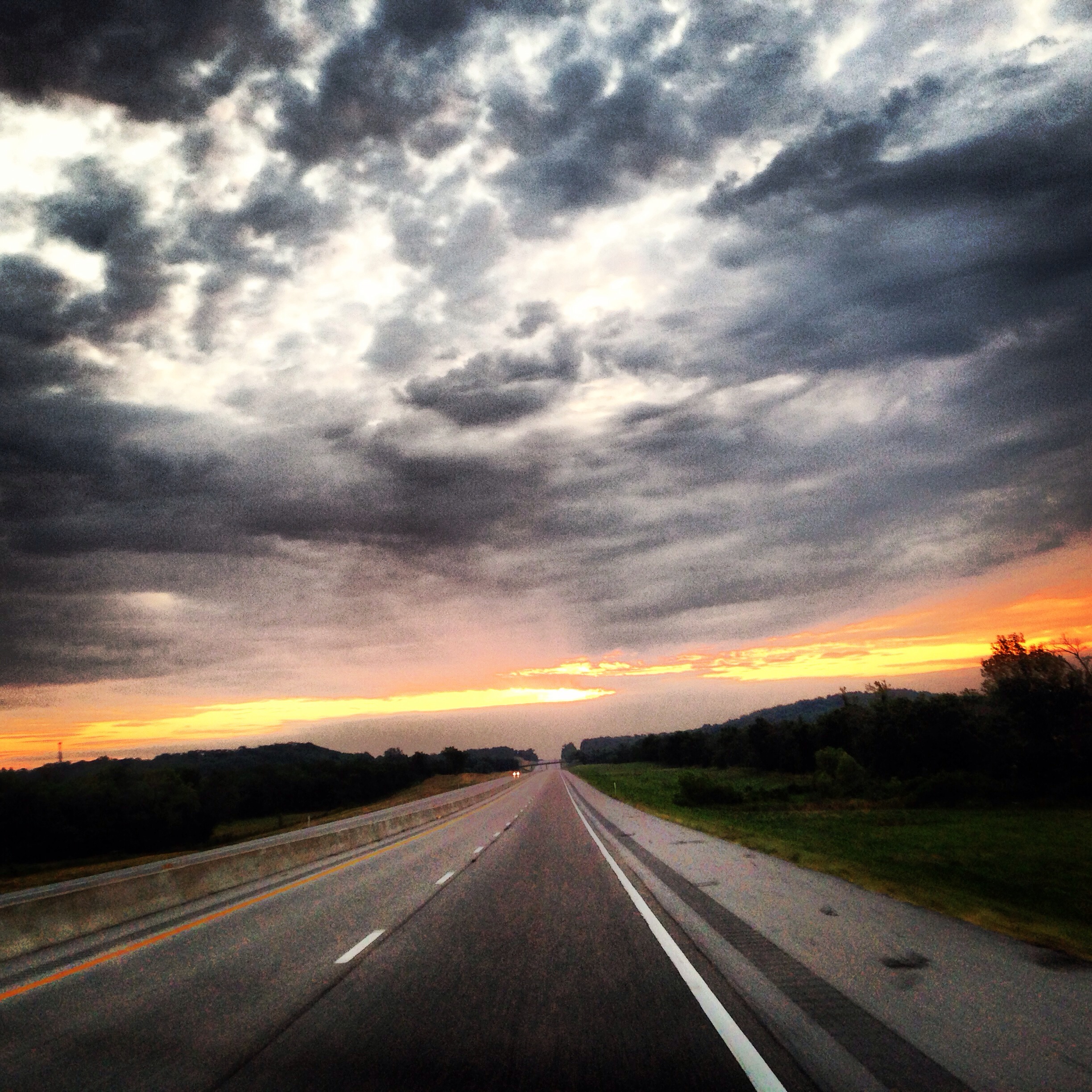
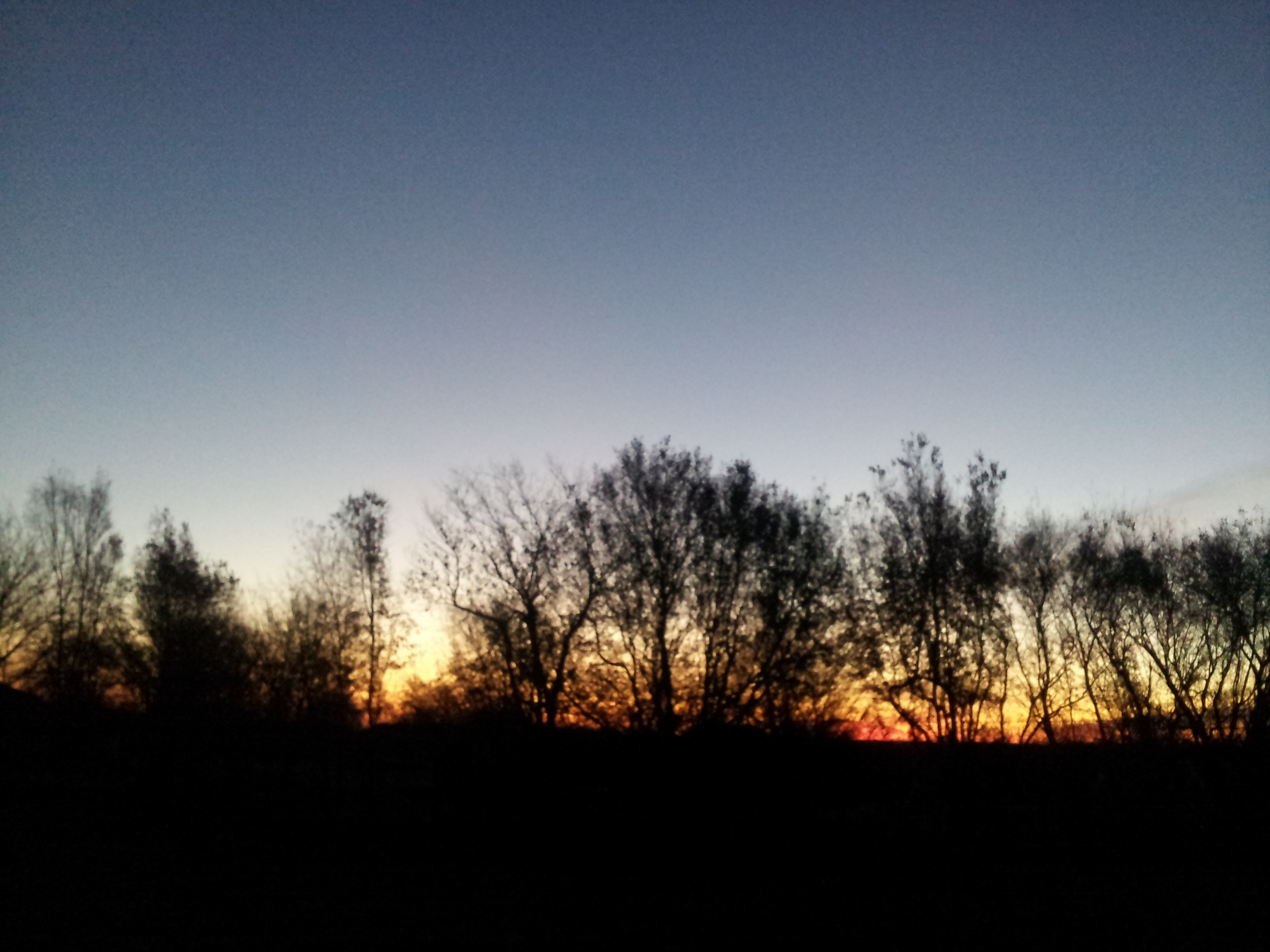
An Oklahoma morning.

Rams_4th-grade_Cheer_Group
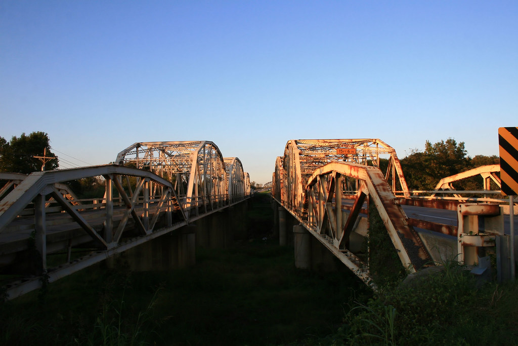
Route 66: Twin Bridges
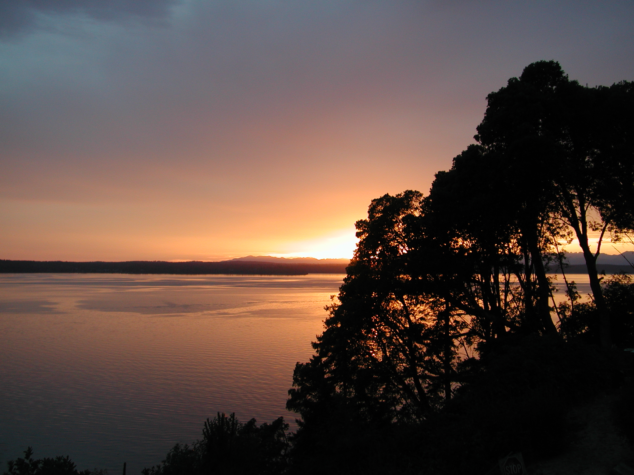
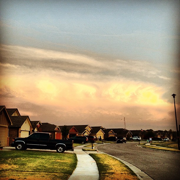
Into the sunset
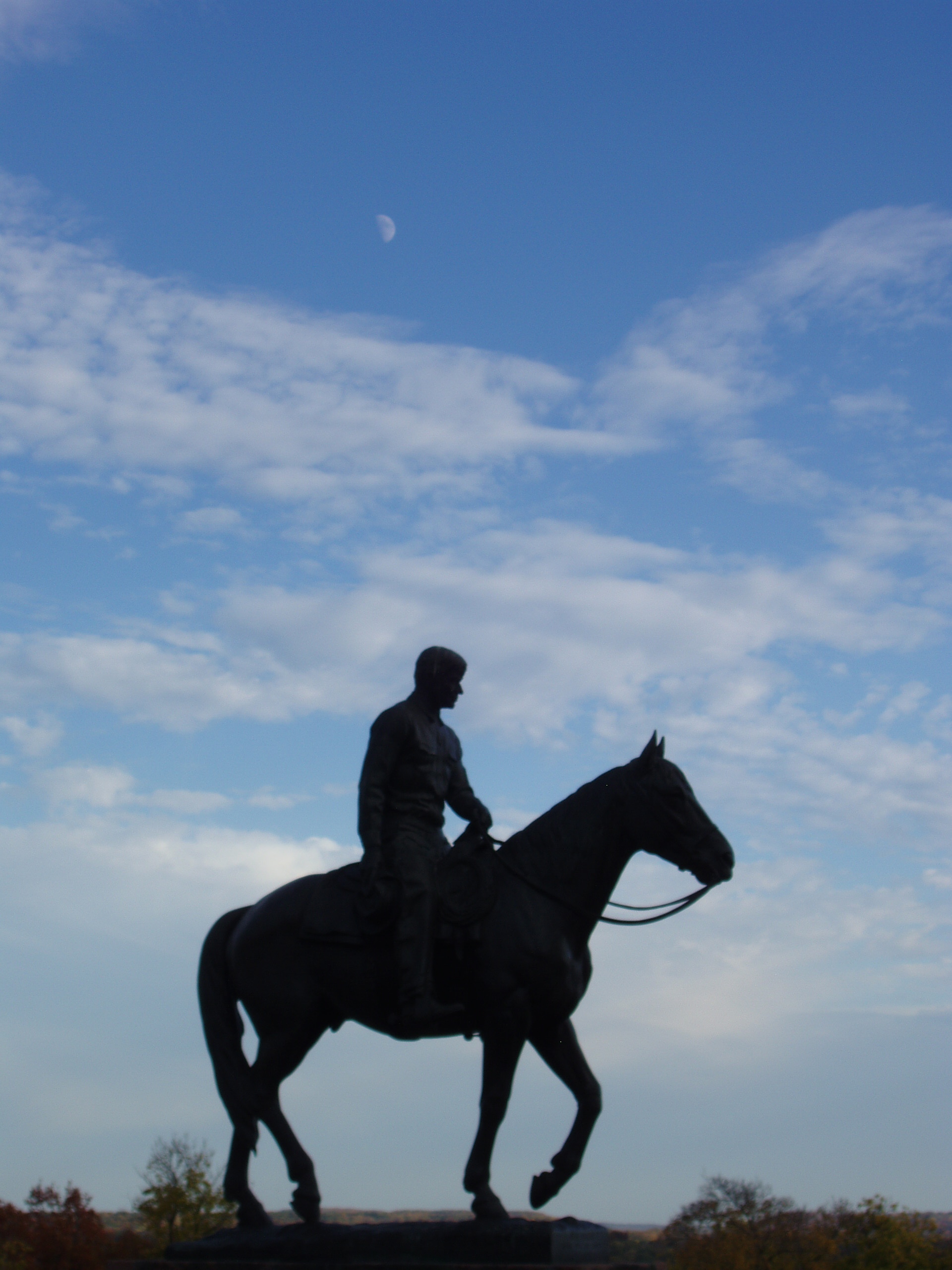
Oklahoma-11
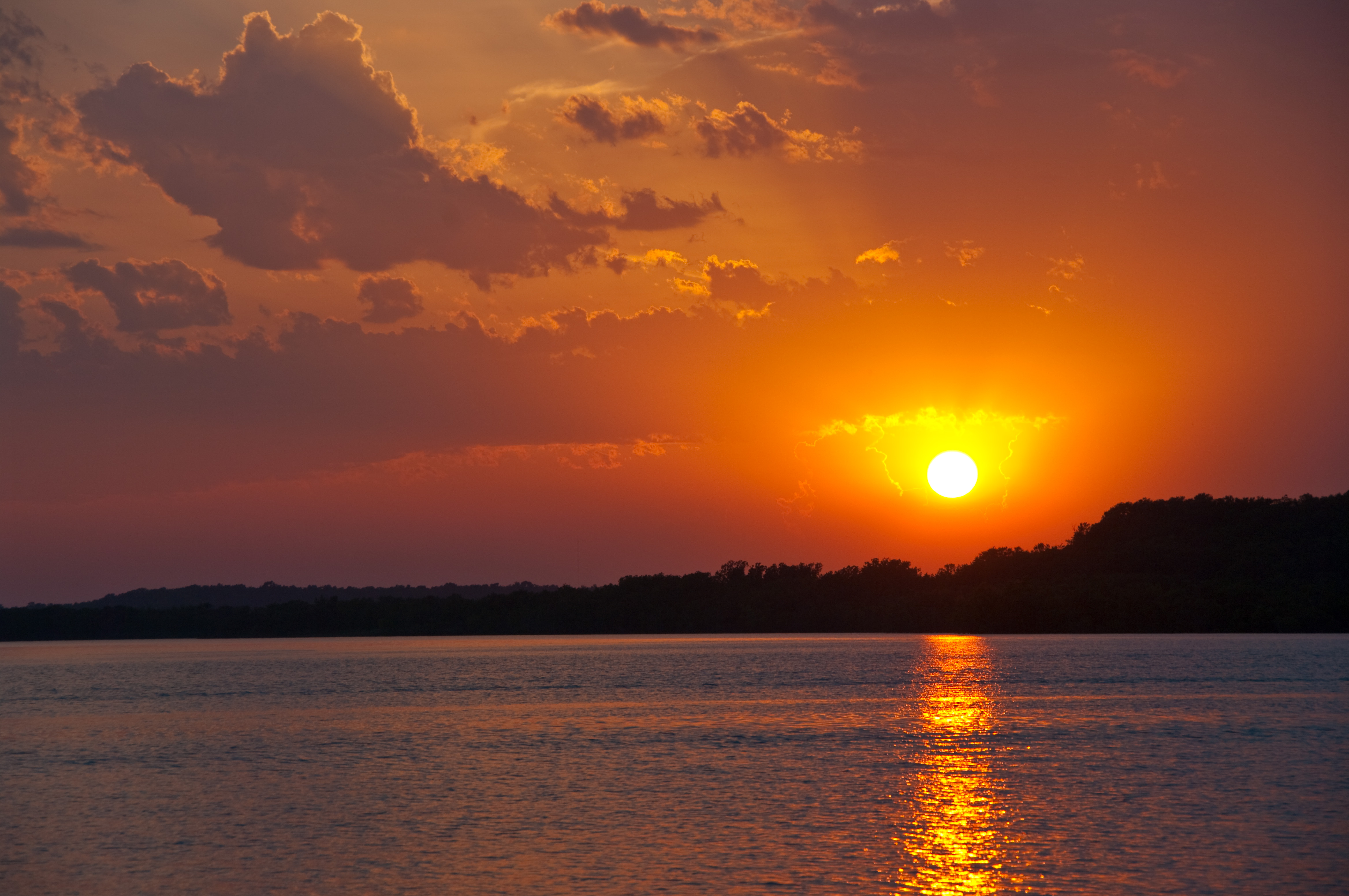
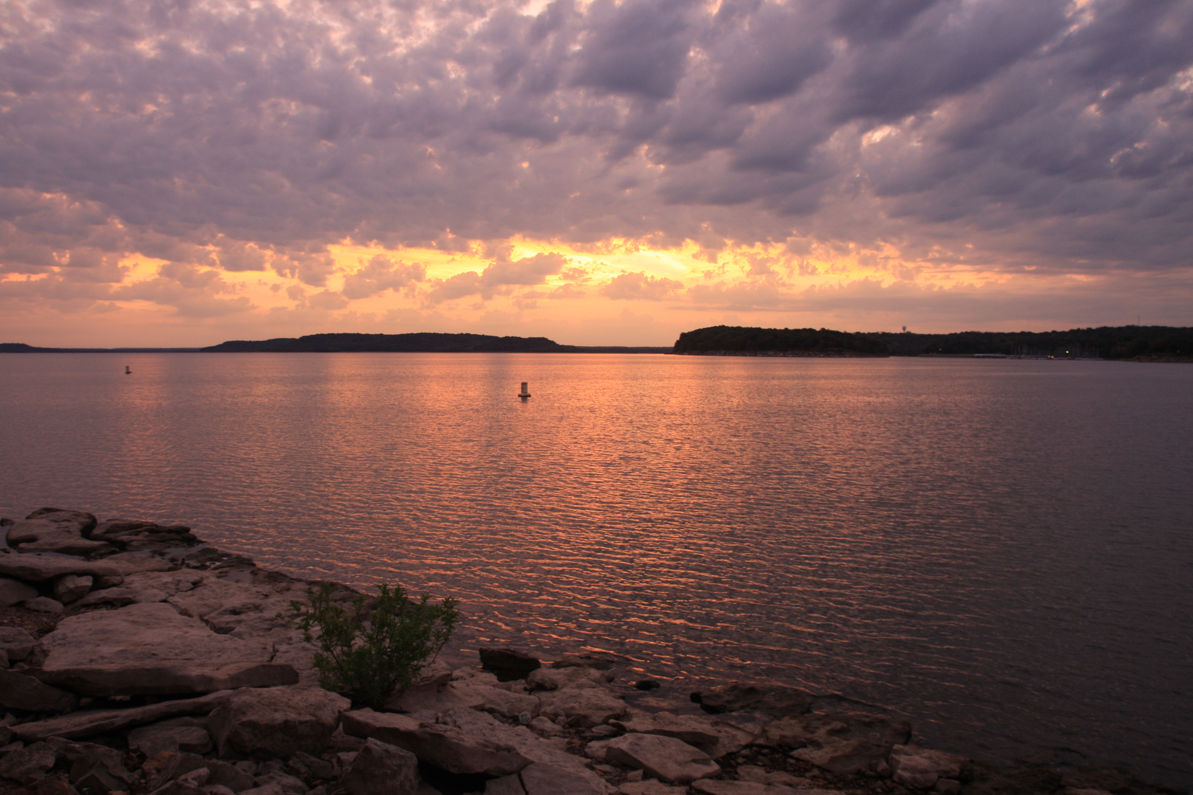
Road Trip: Blue Creek, Lake Oologah

Road Trip: Blue Creek, Lake Oologah

Road Trip: Blue Creek, Lake Oologah
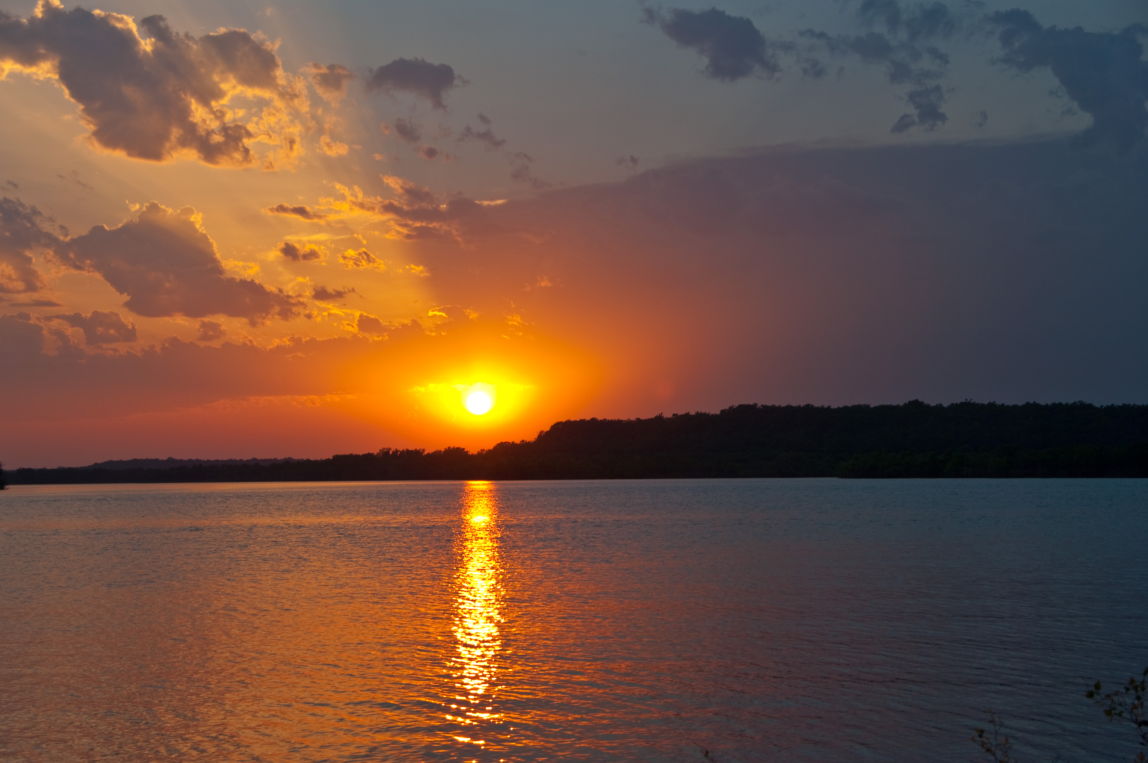
Road Trip: Blue Creek, Lake Oologah
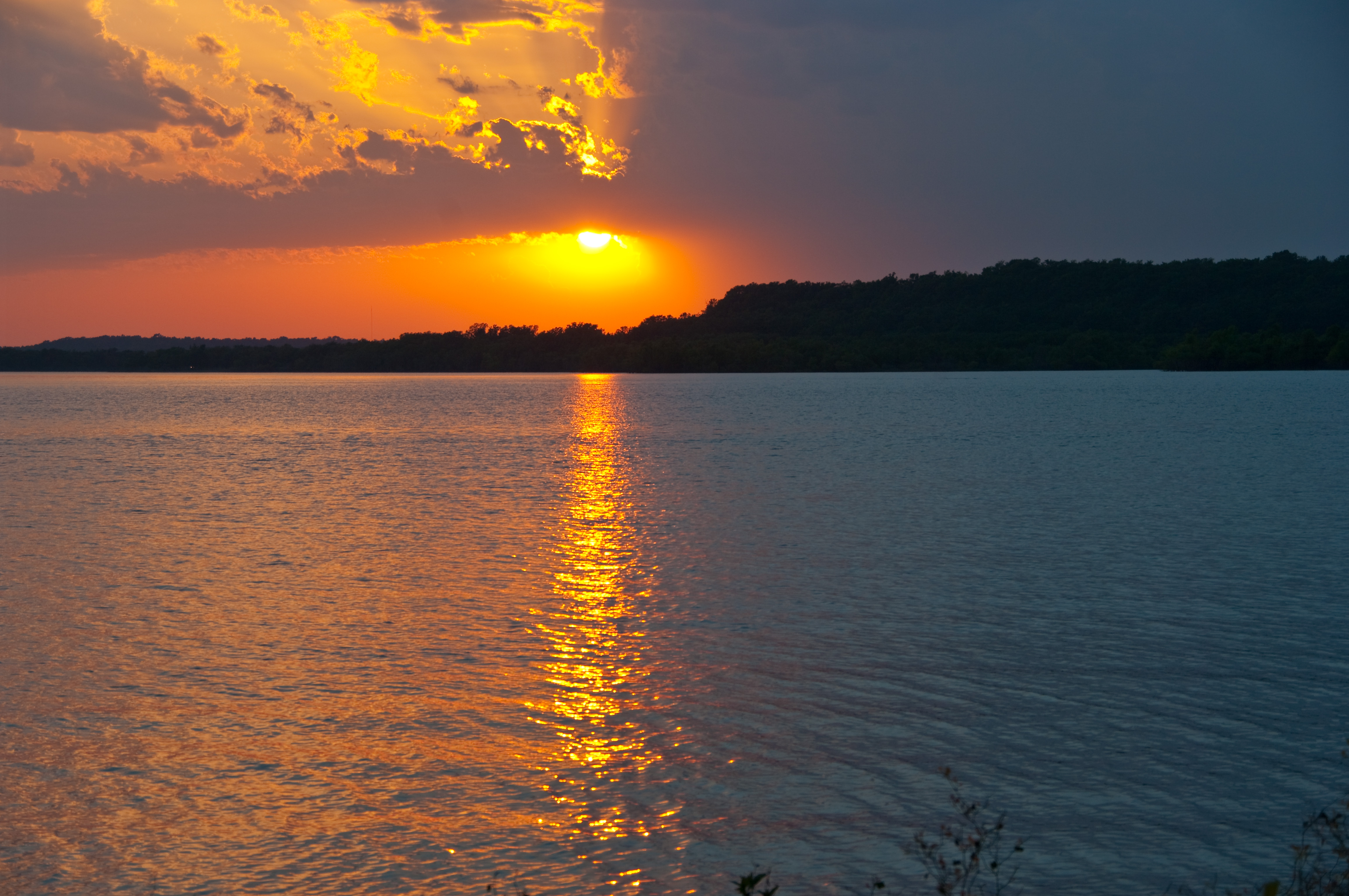
Road Trip: Blue Creek, Lake Oologah

Road Trip: Blue Creek, Lake Oologah
Strange Cloud Formation #clouds #cloudporn #sky #skyporn #igaddict #HDR #jj #jj_forum #alien #formation #okwx #sun #sunset #Owasso #Oklahoma

On the tracks

Road Trip: Blue Creek, Lake Oologah
2013-11-28 06.44.35

Lake Oologah pre-sunrise

Early Morning
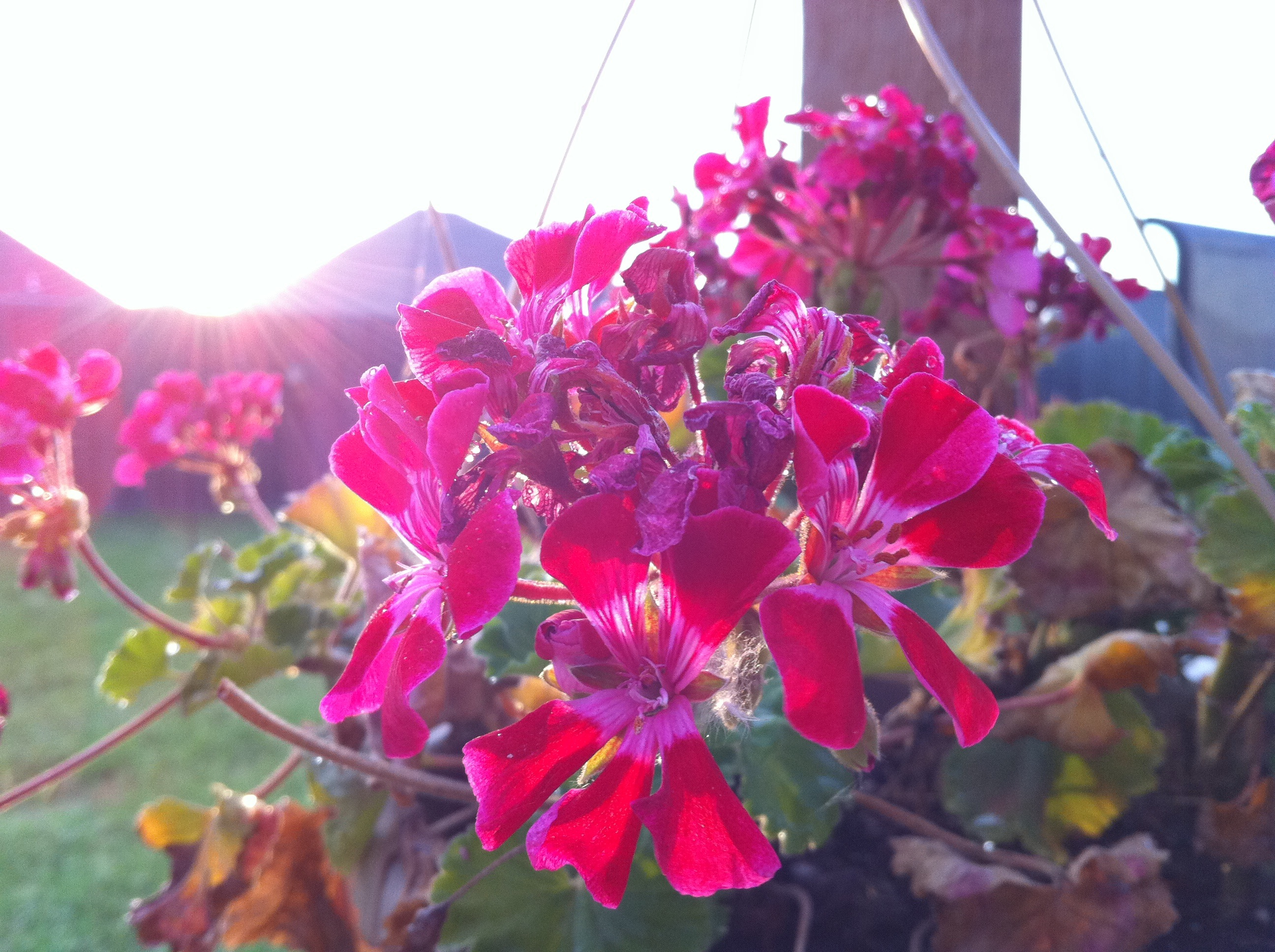
iPhone flower sunrise
W Will Rogers Blvd, Claremore, OK アメリカ合衆国Rogers State Universityの地図
別の場所を検索
近所の場所
OK-20, アメリカ合衆国Oklahoma 20
E Clover Creek Dr, Claremore, OK アメリカ合衆国
E Clover Creek Dr, Claremore, OK アメリカ合衆国
Ratliff Dr, Claremore, OK アメリカ合衆国
Ratliff Dr, Claremore, OK アメリカ合衆国
E Clover Creek Dr, Claremore, OK アメリカ合衆国
E Clover Creek Dr, Claremore, OK アメリカ合衆国
S Stone Creek Dr, Claremore, OK アメリカ合衆国
Frederick Rd #, Claremore, OK アメリカ合衆国ディアー・ラン・アパートメンツ
E Clover Creek Dr, Claremore, OK アメリカ合衆国
E Clover Creek Dr, Claremore, OK アメリカ合衆国
Riverwood Dr, Claremore, OK アメリカ合衆国
Winchester Ave, Claremore, OK アメリカ合衆国
アメリカ合衆国 〒 オクラホマ州 バーディグリス
W Channel Rd, Catoosa, OK アメリカ合衆国
Cimarron Rd, Catoosa, OK アメリカ合衆国Tulsa Port Of Catoosa
E th Pl N, Owasso, OK アメリカ合衆国
Stone Creek Trail, Owasso, OK アメリカ合衆国ストーン・キャニオン・レイク
N Hwy, Catoosa, OK アメリカ合衆国Oklahoma Central Credit Union
E 96th St N, Owasso, OK アメリカ合衆国ハイ=ビュー・ミニ・マート
最近の検索
- アメリカ合衆国 アラスカ州 レッド・ドッグ・マイン日の出日の入り時間
- Am bhf, Borken, ドイツアム・バーンホーフ日の出日の入り時間
- 4th St E, Sonoma, CA, USA日の出日の入り時間
- Oakland Ave, Williamsport, PA アメリカ合衆国日の出日の入り時間
- Via Roma, Pieranica CR, イタリアローマ通り日の出日の入り時間
- クロアチア 〒 ドゥブロブニク GradClock Tower of Dubrovnik日の出日の入り時間
- アルゼンチン チュブ州 トレリュー日の出日の入り時間
- Hartfords Bluff Cir, Mt Pleasant, SC アメリカ合衆国日の出日の入り時間
- 日本、熊本県熊本市北区日の出日の入り時間
- 中華人民共和国 福州市 平潭県 平潭島日の出日の入り時間