Rock Ln, Pioneer, CA アメリカ合衆国日の出日の入り時間
Location: アメリカ合衆国 > カリフォルニア州 > アルパイン > アメリカ合衆国 〒 カリフォルニア州 パイオニア >
時間帯:
America/Los_Angeles
現地時間:
2025-07-12 23:50:53
経度:
-120.742938
緯度:
38.546441
今日の日の出時刻:
05:50:07 AM
今日の日の入時刻:
08:27:35 PM
今日の日長:
14h 37m 28s
明日の日の出時刻:
05:50:50 AM
明日の日の入時刻:
08:27:05 PM
明日の日長:
14h 36m 15s
すべて表示する
| 日付 | 日出 | 日没 | 日長 |
|---|---|---|---|
| 2025年01月01日 | 07:20:38 AM | 04:53:45 PM | 9h 33m 7s |
| 2025年01月02日 | 07:20:42 AM | 04:54:36 PM | 9h 33m 54s |
| 2025年01月03日 | 07:20:45 AM | 04:55:28 PM | 9h 34m 43s |
| 2025年01月04日 | 07:20:45 AM | 04:56:21 PM | 9h 35m 36s |
| 2025年01月05日 | 07:20:43 AM | 04:57:16 PM | 9h 36m 33s |
| 2025年01月06日 | 07:20:38 AM | 04:58:12 PM | 9h 37m 34s |
| 2025年01月07日 | 07:20:32 AM | 04:59:09 PM | 9h 38m 37s |
| 2025年01月08日 | 07:20:24 AM | 05:00:07 PM | 9h 39m 43s |
| 2025年01月09日 | 07:20:13 AM | 05:01:06 PM | 9h 40m 53s |
| 2025年01月10日 | 07:20:00 AM | 05:02:05 PM | 9h 42m 5s |
| 2025年01月11日 | 07:19:45 AM | 05:03:06 PM | 9h 43m 21s |
| 2025年01月12日 | 07:19:29 AM | 05:04:08 PM | 9h 44m 39s |
| 2025年01月13日 | 07:19:10 AM | 05:05:10 PM | 9h 46m 0s |
| 2025年01月14日 | 07:18:49 AM | 05:06:13 PM | 9h 47m 24s |
| 2025年01月15日 | 07:18:25 AM | 05:07:17 PM | 9h 48m 52s |
| 2025年01月16日 | 07:18:00 AM | 05:08:22 PM | 9h 50m 22s |
| 2025年01月17日 | 07:17:33 AM | 05:09:27 PM | 9h 51m 54s |
| 2025年01月18日 | 07:17:04 AM | 05:10:32 PM | 9h 53m 28s |
| 2025年01月19日 | 07:16:33 AM | 05:11:39 PM | 9h 55m 6s |
| 2025年01月20日 | 07:16:00 AM | 05:12:45 PM | 9h 56m 45s |
| 2025年01月21日 | 07:15:25 AM | 05:13:52 PM | 9h 58m 27s |
| 2025年01月22日 | 07:14:48 AM | 05:14:59 PM | 10h 0m 11s |
| 2025年01月23日 | 07:14:09 AM | 05:16:07 PM | 10h 1m 58s |
| 2025年01月24日 | 07:13:28 AM | 05:17:15 PM | 10h 3m 47s |
| 2025年01月25日 | 07:12:46 AM | 05:18:23 PM | 10h 5m 37s |
| 2025年01月26日 | 07:12:01 AM | 05:19:31 PM | 10h 7m 30s |
| 2025年01月27日 | 07:11:15 AM | 05:20:40 PM | 10h 9m 25s |
| 2025年01月28日 | 07:10:28 AM | 05:21:49 PM | 10h 11m 21s |
| 2025年01月29日 | 07:09:38 AM | 05:22:57 PM | 10h 13m 19s |
| 2025年01月30日 | 07:08:47 AM | 05:24:06 PM | 10h 15m 19s |
| 2025年01月31日 | 07:07:54 AM | 05:25:15 PM | 10h 17m 21s |
| 2025年02月01日 | 07:06:59 AM | 05:26:24 PM | 10h 19m 25s |
| 2025年02月02日 | 07:06:03 AM | 05:27:32 PM | 10h 21m 29s |
| 2025年02月03日 | 07:05:06 AM | 05:28:41 PM | 10h 23m 35s |
| 2025年02月04日 | 07:04:06 AM | 05:29:50 PM | 10h 25m 44s |
| 2025年02月05日 | 07:03:06 AM | 05:30:58 PM | 10h 27m 52s |
| 2025年02月06日 | 07:02:03 AM | 05:32:06 PM | 10h 30m 3s |
| 2025年02月07日 | 07:01:00 AM | 05:33:15 PM | 10h 32m 15s |
| 2025年02月08日 | 06:59:55 AM | 05:34:23 PM | 10h 34m 28s |
| 2025年02月09日 | 06:58:49 AM | 05:35:30 PM | 10h 36m 41s |
| 2025年02月10日 | 06:57:41 AM | 05:36:38 PM | 10h 38m 57s |
| 2025年02月11日 | 06:56:32 AM | 05:37:45 PM | 10h 41m 13s |
| 2025年02月12日 | 06:55:22 AM | 05:38:53 PM | 10h 43m 31s |
| 2025年02月13日 | 06:54:10 AM | 05:39:59 PM | 10h 45m 49s |
| 2025年02月14日 | 06:52:58 AM | 05:41:06 PM | 10h 48m 8s |
| 2025年02月15日 | 06:51:44 AM | 05:42:12 PM | 10h 50m 28s |
| 2025年02月16日 | 06:50:29 AM | 05:43:18 PM | 10h 52m 49s |
| 2025年02月17日 | 06:49:13 AM | 05:44:24 PM | 10h 55m 11s |
| 2025年02月18日 | 06:47:56 AM | 05:45:30 PM | 10h 57m 34s |
| 2025年02月19日 | 06:46:38 AM | 05:46:35 PM | 10h 59m 57s |
| 2025年02月20日 | 06:45:19 AM | 05:47:40 PM | 11h 2m 21s |
| 2025年02月21日 | 06:43:59 AM | 05:48:44 PM | 11h 4m 45s |
| 2025年02月22日 | 06:42:38 AM | 05:49:48 PM | 11h 7m 10s |
| 2025年02月23日 | 06:41:16 AM | 05:50:52 PM | 11h 9m 36s |
| 2025年02月24日 | 06:39:54 AM | 05:51:56 PM | 11h 12m 2s |
| 2025年02月25日 | 06:38:30 AM | 05:52:59 PM | 11h 14m 29s |
| 2025年02月26日 | 06:37:06 AM | 05:54:02 PM | 11h 16m 56s |
| 2025年02月27日 | 06:35:41 AM | 05:55:05 PM | 11h 19m 24s |
| 2025年02月28日 | 06:34:16 AM | 05:56:07 PM | 11h 21m 51s |
| 2025年03月01日 | 06:32:49 AM | 05:57:09 PM | 11h 24m 20s |
| 2025年03月02日 | 06:31:22 AM | 05:58:11 PM | 11h 26m 49s |
| 2025年03月03日 | 06:29:55 AM | 05:59:13 PM | 11h 29m 18s |
| 2025年03月04日 | 06:28:26 AM | 06:00:14 PM | 11h 31m 48s |
| 2025年03月05日 | 06:26:57 AM | 06:01:15 PM | 11h 34m 18s |
| 2025年03月06日 | 06:25:28 AM | 06:02:15 PM | 11h 36m 47s |
| 2025年03月07日 | 06:23:58 AM | 06:03:16 PM | 11h 39m 18s |
| 2025年03月08日 | 06:22:28 AM | 06:04:16 PM | 11h 41m 48s |
| 2025年03月09日 | 07:21:01 AM | 07:05:13 PM | 11h 44m 12s |
| 2025年03月10日 | 07:19:30 AM | 07:06:13 PM | 11h 46m 43s |
| 2025年03月11日 | 07:17:59 AM | 07:07:12 PM | 11h 49m 13s |
| 2025年03月12日 | 07:16:27 AM | 07:08:11 PM | 11h 51m 44s |
| 2025年03月13日 | 07:14:55 AM | 07:09:10 PM | 11h 54m 15s |
| 2025年03月14日 | 07:13:22 AM | 07:10:09 PM | 11h 56m 47s |
| 2025年03月15日 | 07:11:50 AM | 07:11:07 PM | 11h 59m 17s |
| 2025年03月16日 | 07:10:17 AM | 07:12:06 PM | 12h 1m 49s |
| 2025年03月17日 | 07:08:44 AM | 07:13:04 PM | 12h 4m 20s |
| 2025年03月18日 | 07:07:11 AM | 07:14:02 PM | 12h 6m 51s |
| 2025年03月19日 | 07:05:38 AM | 07:15:00 PM | 12h 9m 22s |
| 2025年03月20日 | 07:04:04 AM | 07:15:57 PM | 12h 11m 53s |
| 2025年03月21日 | 07:02:31 AM | 07:16:55 PM | 12h 14m 24s |
| 2025年03月22日 | 07:00:57 AM | 07:17:52 PM | 12h 16m 55s |
| 2025年03月23日 | 06:59:24 AM | 07:18:50 PM | 12h 19m 26s |
| 2025年03月24日 | 06:57:50 AM | 07:19:47 PM | 12h 21m 57s |
| 2025年03月25日 | 06:56:17 AM | 07:20:44 PM | 12h 24m 27s |
| 2025年03月26日 | 06:54:44 AM | 07:21:41 PM | 12h 26m 57s |
| 2025年03月27日 | 06:53:11 AM | 07:22:38 PM | 12h 29m 27s |
| 2025年03月28日 | 06:51:37 AM | 07:23:35 PM | 12h 31m 58s |
| 2025年03月29日 | 06:50:05 AM | 07:24:32 PM | 12h 34m 27s |
| 2025年03月30日 | 06:48:32 AM | 07:25:29 PM | 12h 36m 57s |
| 2025年03月31日 | 06:47:00 AM | 07:26:26 PM | 12h 39m 26s |
| 2025年04月01日 | 06:45:27 AM | 07:27:23 PM | 12h 41m 56s |
| 2025年04月02日 | 06:43:56 AM | 07:28:19 PM | 12h 44m 23s |
| 2025年04月03日 | 06:42:24 AM | 07:29:16 PM | 12h 46m 52s |
| 2025年04月04日 | 06:40:53 AM | 07:30:13 PM | 12h 49m 20s |
| 2025年04月05日 | 06:39:22 AM | 07:31:10 PM | 12h 51m 48s |
| 2025年04月06日 | 06:37:52 AM | 07:32:06 PM | 12h 54m 14s |
| 2025年04月07日 | 06:36:22 AM | 07:33:03 PM | 12h 56m 41s |
| 2025年04月08日 | 06:34:52 AM | 07:34:00 PM | 12h 59m 8s |
| 2025年04月09日 | 06:33:24 AM | 07:34:57 PM | 13h 1m 33s |
| 2025年04月10日 | 06:31:55 AM | 07:35:54 PM | 13h 3m 59s |
| 2025年04月11日 | 06:30:27 AM | 07:36:51 PM | 13h 6m 24s |
| 2025年04月12日 | 06:29:00 AM | 07:37:48 PM | 13h 8m 48s |
| 2025年04月13日 | 06:27:34 AM | 07:38:45 PM | 13h 11m 11s |
| 2025年04月14日 | 06:26:08 AM | 07:39:42 PM | 13h 13m 34s |
| 2025年04月15日 | 06:24:42 AM | 07:40:39 PM | 13h 15m 57s |
| 2025年04月16日 | 06:23:18 AM | 07:41:36 PM | 13h 18m 18s |
| 2025年04月17日 | 06:21:54 AM | 07:42:33 PM | 13h 20m 39s |
| 2025年04月18日 | 06:20:31 AM | 07:43:30 PM | 13h 22m 59s |
| 2025年04月19日 | 06:19:09 AM | 07:44:27 PM | 13h 25m 18s |
| 2025年04月20日 | 06:17:48 AM | 07:45:24 PM | 13h 27m 36s |
| 2025年04月21日 | 06:16:27 AM | 07:46:22 PM | 13h 29m 55s |
| 2025年04月22日 | 06:15:08 AM | 07:47:19 PM | 13h 32m 11s |
| 2025年04月23日 | 06:13:49 AM | 07:48:16 PM | 13h 34m 27s |
| 2025年04月24日 | 06:12:31 AM | 07:49:13 PM | 13h 36m 42s |
| 2025年04月25日 | 06:11:15 AM | 07:50:10 PM | 13h 38m 55s |
| 2025年04月26日 | 06:09:59 AM | 07:51:08 PM | 13h 41m 9s |
| 2025年04月27日 | 06:08:44 AM | 07:52:05 PM | 13h 43m 21s |
| 2025年04月28日 | 06:07:31 AM | 07:53:02 PM | 13h 45m 31s |
| 2025年04月29日 | 06:06:18 AM | 07:53:59 PM | 13h 47m 41s |
| 2025年04月30日 | 06:05:07 AM | 07:54:56 PM | 13h 49m 49s |
| 2025年05月01日 | 06:03:57 AM | 07:55:53 PM | 13h 51m 56s |
| 2025年05月02日 | 06:02:48 AM | 07:56:49 PM | 13h 54m 1s |
| 2025年05月03日 | 06:01:41 AM | 07:57:46 PM | 13h 56m 5s |
| 2025年05月04日 | 06:00:34 AM | 07:58:42 PM | 13h 58m 8s |
| 2025年05月05日 | 05:59:29 AM | 07:59:39 PM | 14h 0m 10s |
| 2025年05月06日 | 05:58:26 AM | 08:00:35 PM | 14h 2m 9s |
| 2025年05月07日 | 05:57:23 AM | 08:01:31 PM | 14h 4m 8s |
| 2025年05月08日 | 05:56:22 AM | 08:02:26 PM | 14h 6m 4s |
| 2025年05月09日 | 05:55:22 AM | 08:03:22 PM | 14h 8m 0s |
| 2025年05月10日 | 05:54:24 AM | 08:04:17 PM | 14h 9m 53s |
| 2025年05月11日 | 05:53:28 AM | 08:05:12 PM | 14h 11m 44s |
| 2025年05月12日 | 05:52:32 AM | 08:06:06 PM | 14h 13m 34s |
| 2025年05月13日 | 05:51:39 AM | 08:07:00 PM | 14h 15m 21s |
| 2025年05月14日 | 05:50:46 AM | 08:07:54 PM | 14h 17m 8s |
| 2025年05月15日 | 05:49:56 AM | 08:08:47 PM | 14h 18m 51s |
| 2025年05月16日 | 05:49:07 AM | 08:09:40 PM | 14h 20m 33s |
| 2025年05月17日 | 05:48:19 AM | 08:10:32 PM | 14h 22m 13s |
| 2025年05月18日 | 05:47:34 AM | 08:11:24 PM | 14h 23m 50s |
| 2025年05月19日 | 05:46:49 AM | 08:12:15 PM | 14h 25m 26s |
| 2025年05月20日 | 05:46:07 AM | 08:13:05 PM | 14h 26m 58s |
| 2025年05月21日 | 05:45:26 AM | 08:13:55 PM | 14h 28m 29s |
| 2025年05月22日 | 05:44:47 AM | 08:14:45 PM | 14h 29m 58s |
| 2025年05月23日 | 05:44:10 AM | 08:15:33 PM | 14h 31m 23s |
| 2025年05月24日 | 05:43:34 AM | 08:16:21 PM | 14h 32m 47s |
| 2025年05月25日 | 05:43:00 AM | 08:17:08 PM | 14h 34m 8s |
| 2025年05月26日 | 05:42:28 AM | 08:17:54 PM | 14h 35m 26s |
| 2025年05月27日 | 05:41:58 AM | 08:18:39 PM | 14h 36m 41s |
| 2025年05月28日 | 05:41:30 AM | 08:19:24 PM | 14h 37m 54s |
| 2025年05月29日 | 05:41:03 AM | 08:20:07 PM | 14h 39m 4s |
| 2025年05月30日 | 05:40:38 AM | 08:20:50 PM | 14h 40m 12s |
| 2025年05月31日 | 05:40:15 AM | 08:21:31 PM | 14h 41m 16s |
| 2025年06月01日 | 05:39:54 AM | 08:22:11 PM | 14h 42m 17s |
| 2025年06月02日 | 05:39:35 AM | 08:22:50 PM | 14h 43m 15s |
| 2025年06月03日 | 05:39:17 AM | 08:23:29 PM | 14h 44m 12s |
| 2025年06月04日 | 05:39:02 AM | 08:24:05 PM | 14h 45m 3s |
| 2025年06月05日 | 05:38:48 AM | 08:24:41 PM | 14h 45m 53s |
| 2025年06月06日 | 05:38:36 AM | 08:25:15 PM | 14h 46m 39s |
| 2025年06月07日 | 05:38:26 AM | 08:25:49 PM | 14h 47m 23s |
| 2025年06月08日 | 05:38:18 AM | 08:26:20 PM | 14h 48m 2s |
| 2025年06月09日 | 05:38:12 AM | 08:26:51 PM | 14h 48m 39s |
| 2025年06月10日 | 05:38:07 AM | 08:27:20 PM | 14h 49m 13s |
| 2025年06月11日 | 05:38:05 AM | 08:27:47 PM | 14h 49m 42s |
| 2025年06月12日 | 05:38:04 AM | 08:28:13 PM | 14h 50m 9s |
| 2025年06月13日 | 05:38:05 AM | 08:28:38 PM | 14h 50m 33s |
| 2025年06月14日 | 05:38:07 AM | 08:29:00 PM | 14h 50m 53s |
| 2025年06月15日 | 05:38:12 AM | 08:29:22 PM | 14h 51m 10s |
| 2025年06月16日 | 05:38:18 AM | 08:29:42 PM | 14h 51m 24s |
| 2025年06月17日 | 05:38:26 AM | 08:30:00 PM | 14h 51m 34s |
| 2025年06月18日 | 05:38:36 AM | 08:30:16 PM | 14h 51m 40s |
| 2025年06月19日 | 05:38:47 AM | 08:30:31 PM | 14h 51m 44s |
| 2025年06月20日 | 05:39:01 AM | 08:30:44 PM | 14h 51m 43s |
| 2025年06月21日 | 05:39:15 AM | 08:30:55 PM | 14h 51m 40s |
| 2025年06月22日 | 05:39:32 AM | 08:31:05 PM | 14h 51m 33s |
| 2025年06月23日 | 05:39:50 AM | 08:31:12 PM | 14h 51m 22s |
| 2025年06月24日 | 05:40:09 AM | 08:31:18 PM | 14h 51m 9s |
| 2025年06月25日 | 05:40:30 AM | 08:31:22 PM | 14h 50m 52s |
| 2025年06月26日 | 05:40:53 AM | 08:31:25 PM | 14h 50m 32s |
| 2025年06月27日 | 05:41:17 AM | 08:31:25 PM | 14h 50m 8s |
| 2025年06月28日 | 05:41:43 AM | 08:31:24 PM | 14h 49m 41s |
| 2025年06月29日 | 05:42:10 AM | 08:31:20 PM | 14h 49m 10s |
| 2025年06月30日 | 05:42:38 AM | 08:31:15 PM | 14h 48m 37s |
| 2025年07月01日 | 05:43:07 AM | 08:31:08 PM | 14h 48m 1s |
| 2025年07月02日 | 05:43:38 AM | 08:30:59 PM | 14h 47m 21s |
| 2025年07月03日 | 05:44:11 AM | 08:30:48 PM | 14h 46m 37s |
| 2025年07月04日 | 05:44:44 AM | 08:30:36 PM | 14h 45m 52s |
| 2025年07月05日 | 05:45:19 AM | 08:30:21 PM | 14h 45m 2s |
| 2025年07月06日 | 05:45:54 AM | 08:30:04 PM | 14h 44m 10s |
| 2025年07月07日 | 05:46:31 AM | 08:29:46 PM | 14h 43m 15s |
| 2025年07月08日 | 05:47:09 AM | 08:29:26 PM | 14h 42m 17s |
| 2025年07月09日 | 05:47:48 AM | 08:29:04 PM | 14h 41m 16s |
| 2025年07月10日 | 05:48:28 AM | 08:28:39 PM | 14h 40m 11s |
| 2025年07月11日 | 05:49:09 AM | 08:28:14 PM | 14h 39m 5s |
| 2025年07月12日 | 05:49:51 AM | 08:27:46 PM | 14h 37m 55s |
| 2025年07月13日 | 05:50:34 AM | 08:27:16 PM | 14h 36m 42s |
| 2025年07月14日 | 05:51:17 AM | 08:26:45 PM | 14h 35m 28s |
| 2025年07月15日 | 05:52:02 AM | 08:26:11 PM | 14h 34m 9s |
| 2025年07月16日 | 05:52:47 AM | 08:25:36 PM | 14h 32m 49s |
| 2025年07月17日 | 05:53:33 AM | 08:24:59 PM | 14h 31m 26s |
| 2025年07月18日 | 05:54:19 AM | 08:24:21 PM | 14h 30m 2s |
| 2025年07月19日 | 05:55:06 AM | 08:23:40 PM | 14h 28m 34s |
| 2025年07月20日 | 05:55:54 AM | 08:22:58 PM | 14h 27m 4s |
| 2025年07月21日 | 05:56:42 AM | 08:22:14 PM | 14h 25m 32s |
| 2025年07月22日 | 05:57:31 AM | 08:21:29 PM | 14h 23m 58s |
| 2025年07月23日 | 05:58:21 AM | 08:20:42 PM | 14h 22m 21s |
| 2025年07月24日 | 05:59:10 AM | 08:19:53 PM | 14h 20m 43s |
| 2025年07月25日 | 06:00:01 AM | 08:19:02 PM | 14h 19m 1s |
| 2025年07月26日 | 06:00:51 AM | 08:18:10 PM | 14h 17m 19s |
| 2025年07月27日 | 06:01:42 AM | 08:17:17 PM | 14h 15m 35s |
| 2025年07月28日 | 06:02:34 AM | 08:16:21 PM | 14h 13m 47s |
| 2025年07月29日 | 06:03:25 AM | 08:15:25 PM | 14h 12m 0s |
| 2025年07月30日 | 06:04:17 AM | 08:14:26 PM | 14h 10m 9s |
| 2025年07月31日 | 06:05:09 AM | 08:13:27 PM | 14h 8m 18s |
| 2025年08月01日 | 06:06:02 AM | 08:12:26 PM | 14h 6m 24s |
| 2025年08月02日 | 06:06:54 AM | 08:11:23 PM | 14h 4m 29s |
| 2025年08月03日 | 06:07:47 AM | 08:10:19 PM | 14h 2m 32s |
| 2025年08月04日 | 06:08:40 AM | 08:09:14 PM | 14h 0m 34s |
| 2025年08月05日 | 06:09:33 AM | 08:08:07 PM | 13h 58m 34s |
| 2025年08月06日 | 06:10:26 AM | 08:06:59 PM | 13h 56m 33s |
| 2025年08月07日 | 06:11:20 AM | 08:05:50 PM | 13h 54m 30s |
| 2025年08月08日 | 06:12:13 AM | 08:04:39 PM | 13h 52m 26s |
| 2025年08月09日 | 06:13:07 AM | 08:03:28 PM | 13h 50m 21s |
| 2025年08月10日 | 06:14:00 AM | 08:02:15 PM | 13h 48m 15s |
| 2025年08月11日 | 06:14:54 AM | 08:01:01 PM | 13h 46m 7s |
| 2025年08月12日 | 06:15:47 AM | 07:59:46 PM | 13h 43m 59s |
| 2025年08月13日 | 06:16:41 AM | 07:58:29 PM | 13h 41m 48s |
| 2025年08月14日 | 06:17:34 AM | 07:57:12 PM | 13h 39m 38s |
| 2025年08月15日 | 06:18:28 AM | 07:55:54 PM | 13h 37m 26s |
| 2025年08月16日 | 06:19:21 AM | 07:54:35 PM | 13h 35m 14s |
| 2025年08月17日 | 06:20:15 AM | 07:53:14 PM | 13h 32m 59s |
| 2025年08月18日 | 06:21:08 AM | 07:51:53 PM | 13h 30m 45s |
| 2025年08月19日 | 06:22:02 AM | 07:50:31 PM | 13h 28m 29s |
| 2025年08月20日 | 06:22:55 AM | 07:49:08 PM | 13h 26m 13s |
| 2025年08月21日 | 06:23:48 AM | 07:47:44 PM | 13h 23m 56s |
| 2025年08月22日 | 06:24:41 AM | 07:46:19 PM | 13h 21m 38s |
| 2025年08月23日 | 06:25:35 AM | 07:44:54 PM | 13h 19m 19s |
| 2025年08月24日 | 06:26:28 AM | 07:43:27 PM | 13h 16m 59s |
| 2025年08月25日 | 06:27:21 AM | 07:42:00 PM | 13h 14m 39s |
| 2025年08月26日 | 06:28:14 AM | 07:40:33 PM | 13h 12m 19s |
| 2025年08月27日 | 06:29:06 AM | 07:39:04 PM | 13h 9m 58s |
| 2025年08月28日 | 06:29:59 AM | 07:37:35 PM | 13h 7m 36s |
| 2025年08月29日 | 06:30:52 AM | 07:36:06 PM | 13h 5m 14s |
| 2025年08月30日 | 06:31:45 AM | 07:34:35 PM | 13h 2m 50s |
| 2025年08月31日 | 06:32:37 AM | 07:33:05 PM | 13h 0m 28s |
| 2025年09月01日 | 06:33:30 AM | 07:31:33 PM | 12h 58m 3s |
| 2025年09月02日 | 06:34:22 AM | 07:30:02 PM | 12h 55m 40s |
| 2025年09月03日 | 06:35:15 AM | 07:28:29 PM | 12h 53m 14s |
| 2025年09月04日 | 06:36:07 AM | 07:26:57 PM | 12h 50m 50s |
| 2025年09月05日 | 06:37:00 AM | 07:25:24 PM | 12h 48m 24s |
| 2025年09月06日 | 06:37:52 AM | 07:23:50 PM | 12h 45m 58s |
| 2025年09月07日 | 06:38:45 AM | 07:22:16 PM | 12h 43m 31s |
| 2025年09月08日 | 06:39:37 AM | 07:20:42 PM | 12h 41m 5s |
| 2025年09月09日 | 06:40:29 AM | 07:19:08 PM | 12h 38m 39s |
| 2025年09月10日 | 06:41:22 AM | 07:17:33 PM | 12h 36m 11s |
| 2025年09月11日 | 06:42:14 AM | 07:15:58 PM | 12h 33m 44s |
| 2025年09月12日 | 06:43:07 AM | 07:14:23 PM | 12h 31m 16s |
| 2025年09月13日 | 06:43:59 AM | 07:12:48 PM | 12h 28m 49s |
| 2025年09月14日 | 06:44:52 AM | 07:11:12 PM | 12h 26m 20s |
| 2025年09月15日 | 06:45:44 AM | 07:09:37 PM | 12h 23m 53s |
| 2025年09月16日 | 06:46:37 AM | 07:08:01 PM | 12h 21m 24s |
| 2025年09月17日 | 06:47:30 AM | 07:06:26 PM | 12h 18m 56s |
| 2025年09月18日 | 06:48:23 AM | 07:04:50 PM | 12h 16m 27s |
| 2025年09月19日 | 06:49:16 AM | 07:03:14 PM | 12h 13m 58s |
| 2025年09月20日 | 06:50:09 AM | 07:01:39 PM | 12h 11m 30s |
| 2025年09月21日 | 06:51:02 AM | 07:00:03 PM | 12h 9m 1s |
| 2025年09月22日 | 06:51:55 AM | 06:58:28 PM | 12h 6m 33s |
| 2025年09月23日 | 06:52:49 AM | 06:56:52 PM | 12h 4m 3s |
| 2025年09月24日 | 06:53:43 AM | 06:55:17 PM | 12h 1m 34s |
| 2025年09月25日 | 06:54:36 AM | 06:53:42 PM | 11h 59m 6s |
| 2025年09月26日 | 06:55:30 AM | 06:52:07 PM | 11h 56m 37s |
| 2025年09月27日 | 06:56:25 AM | 06:50:33 PM | 11h 54m 8s |
| 2025年09月28日 | 06:57:19 AM | 06:48:59 PM | 11h 51m 40s |
| 2025年09月29日 | 06:58:14 AM | 06:47:25 PM | 11h 49m 11s |
| 2025年09月30日 | 06:59:09 AM | 06:45:51 PM | 11h 46m 42s |
| 2025年10月01日 | 07:00:04 AM | 06:44:18 PM | 11h 44m 14s |
| 2025年10月02日 | 07:00:59 AM | 06:42:45 PM | 11h 41m 46s |
| 2025年10月03日 | 07:01:55 AM | 06:41:12 PM | 11h 39m 17s |
| 2025年10月04日 | 07:02:51 AM | 06:39:40 PM | 11h 36m 49s |
| 2025年10月05日 | 07:03:47 AM | 06:38:09 PM | 11h 34m 22s |
| 2025年10月06日 | 07:04:43 AM | 06:36:38 PM | 11h 31m 55s |
| 2025年10月07日 | 07:05:40 AM | 06:35:07 PM | 11h 29m 27s |
| 2025年10月08日 | 07:06:37 AM | 06:33:37 PM | 11h 27m 0s |
| 2025年10月09日 | 07:07:34 AM | 06:32:08 PM | 11h 24m 34s |
| 2025年10月10日 | 07:08:32 AM | 06:30:40 PM | 11h 22m 8s |
| 2025年10月11日 | 07:09:30 AM | 06:29:12 PM | 11h 19m 42s |
| 2025年10月12日 | 07:10:28 AM | 06:27:44 PM | 11h 17m 16s |
| 2025年10月13日 | 07:11:27 AM | 06:26:18 PM | 11h 14m 51s |
| 2025年10月14日 | 07:12:26 AM | 06:24:52 PM | 11h 12m 26s |
| 2025年10月15日 | 07:13:25 AM | 06:23:27 PM | 11h 10m 2s |
| 2025年10月16日 | 07:14:25 AM | 06:22:03 PM | 11h 7m 38s |
| 2025年10月17日 | 07:15:25 AM | 06:20:40 PM | 11h 5m 15s |
| 2025年10月18日 | 07:16:25 AM | 06:19:18 PM | 11h 2m 53s |
| 2025年10月19日 | 07:17:26 AM | 06:17:56 PM | 11h 0m 30s |
| 2025年10月20日 | 07:18:27 AM | 06:16:36 PM | 10h 58m 9s |
| 2025年10月21日 | 07:19:29 AM | 06:15:16 PM | 10h 55m 47s |
| 2025年10月22日 | 07:20:30 AM | 06:13:58 PM | 10h 53m 28s |
| 2025年10月23日 | 07:21:32 AM | 06:12:41 PM | 10h 51m 9s |
| 2025年10月24日 | 07:22:35 AM | 06:11:25 PM | 10h 48m 50s |
| 2025年10月25日 | 07:23:37 AM | 06:10:10 PM | 10h 46m 33s |
| 2025年10月26日 | 07:24:40 AM | 06:08:56 PM | 10h 44m 16s |
| 2025年10月27日 | 07:25:43 AM | 06:07:43 PM | 10h 42m 0s |
| 2025年10月28日 | 07:26:47 AM | 06:06:32 PM | 10h 39m 45s |
| 2025年10月29日 | 07:27:51 AM | 06:05:21 PM | 10h 37m 30s |
| 2025年10月30日 | 07:28:55 AM | 06:04:13 PM | 10h 35m 18s |
| 2025年10月31日 | 07:29:59 AM | 06:03:05 PM | 10h 33m 6s |
| 2025年11月01日 | 07:31:04 AM | 06:01:59 PM | 10h 30m 55s |
| 2025年11月02日 | 06:32:11 AM | 05:00:51 PM | 10h 28m 40s |
| 2025年11月03日 | 06:33:16 AM | 04:59:48 PM | 10h 26m 32s |
| 2025年11月04日 | 06:34:21 AM | 04:58:47 PM | 10h 24m 26s |
| 2025年11月05日 | 06:35:27 AM | 04:57:46 PM | 10h 22m 19s |
| 2025年11月06日 | 06:36:32 AM | 04:56:48 PM | 10h 20m 16s |
| 2025年11月07日 | 06:37:38 AM | 04:55:51 PM | 10h 18m 13s |
| 2025年11月08日 | 06:38:43 AM | 04:54:55 PM | 10h 16m 12s |
| 2025年11月09日 | 06:39:49 AM | 04:54:01 PM | 10h 14m 12s |
| 2025年11月10日 | 06:40:55 AM | 04:53:09 PM | 10h 12m 14s |
| 2025年11月11日 | 06:42:00 AM | 04:52:19 PM | 10h 10m 19s |
| 2025年11月12日 | 06:43:06 AM | 04:51:30 PM | 10h 8m 24s |
| 2025年11月13日 | 06:44:12 AM | 04:50:43 PM | 10h 6m 31s |
| 2025年11月14日 | 06:45:17 AM | 04:49:58 PM | 10h 4m 41s |
| 2025年11月15日 | 06:46:22 AM | 04:49:14 PM | 10h 2m 52s |
| 2025年11月16日 | 06:47:27 AM | 04:48:33 PM | 10h 1m 6s |
| 2025年11月17日 | 06:48:32 AM | 04:47:53 PM | 9h 59m 21s |
| 2025年11月18日 | 06:49:37 AM | 04:47:16 PM | 9h 57m 39s |
| 2025年11月19日 | 06:50:41 AM | 04:46:40 PM | 9h 55m 59s |
| 2025年11月20日 | 06:51:45 AM | 04:46:06 PM | 9h 54m 21s |
| 2025年11月21日 | 06:52:49 AM | 04:45:34 PM | 9h 52m 45s |
| 2025年11月22日 | 06:53:52 AM | 04:45:04 PM | 9h 51m 12s |
| 2025年11月23日 | 06:54:55 AM | 04:44:37 PM | 9h 49m 42s |
| 2025年11月24日 | 06:55:57 AM | 04:44:11 PM | 9h 48m 14s |
| 2025年11月25日 | 06:56:58 AM | 04:43:47 PM | 9h 46m 49s |
| 2025年11月26日 | 06:57:59 AM | 04:43:26 PM | 9h 45m 27s |
| 2025年11月27日 | 06:59:00 AM | 04:43:06 PM | 9h 44m 6s |
| 2025年11月28日 | 06:59:59 AM | 04:42:49 PM | 9h 42m 50s |
| 2025年11月29日 | 07:00:58 AM | 04:42:34 PM | 9h 41m 36s |
| 2025年11月30日 | 07:01:56 AM | 04:42:21 PM | 9h 40m 25s |
| 2025年12月01日 | 07:02:53 AM | 04:42:10 PM | 9h 39m 17s |
| 2025年12月02日 | 07:03:49 AM | 04:42:01 PM | 9h 38m 12s |
| 2025年12月03日 | 07:04:44 AM | 04:41:54 PM | 9h 37m 10s |
| 2025年12月04日 | 07:05:38 AM | 04:41:50 PM | 9h 36m 12s |
| 2025年12月05日 | 07:06:31 AM | 04:41:48 PM | 9h 35m 17s |
| 2025年12月06日 | 07:07:23 AM | 04:41:48 PM | 9h 34m 25s |
| 2025年12月07日 | 07:08:14 AM | 04:41:50 PM | 9h 33m 36s |
| 2025年12月08日 | 07:09:03 AM | 04:41:54 PM | 9h 32m 51s |
| 2025年12月09日 | 07:09:51 AM | 04:42:00 PM | 9h 32m 9s |
| 2025年12月10日 | 07:10:38 AM | 04:42:09 PM | 9h 31m 31s |
| 2025年12月11日 | 07:11:23 AM | 04:42:19 PM | 9h 30m 56s |
| 2025年12月12日 | 07:12:07 AM | 04:42:32 PM | 9h 30m 25s |
| 2025年12月13日 | 07:12:49 AM | 04:42:47 PM | 9h 29m 58s |
| 2025年12月14日 | 07:13:30 AM | 04:43:04 PM | 9h 29m 34s |
| 2025年12月15日 | 07:14:09 AM | 04:43:23 PM | 9h 29m 14s |
| 2025年12月16日 | 07:14:47 AM | 04:43:44 PM | 9h 28m 57s |
| 2025年12月17日 | 07:15:23 AM | 04:44:07 PM | 9h 28m 44s |
| 2025年12月18日 | 07:15:57 AM | 04:44:32 PM | 9h 28m 35s |
| 2025年12月19日 | 07:16:29 AM | 04:44:59 PM | 9h 28m 30s |
| 2025年12月20日 | 07:17:00 AM | 04:45:28 PM | 9h 28m 28s |
| 2025年12月21日 | 07:17:29 AM | 04:45:59 PM | 9h 28m 30s |
| 2025年12月22日 | 07:17:56 AM | 04:46:32 PM | 9h 28m 36s |
| 2025年12月23日 | 07:18:21 AM | 04:47:06 PM | 9h 28m 45s |
| 2025年12月24日 | 07:18:44 AM | 04:47:43 PM | 9h 28m 59s |
| 2025年12月25日 | 07:19:05 AM | 04:48:21 PM | 9h 29m 16s |
| 2025年12月26日 | 07:19:24 AM | 04:49:01 PM | 9h 29m 37s |
| 2025年12月27日 | 07:19:42 AM | 04:49:42 PM | 9h 30m 0s |
| 2025年12月28日 | 07:19:57 AM | 04:50:25 PM | 9h 30m 28s |
| 2025年12月29日 | 07:20:10 AM | 04:51:10 PM | 9h 31m 0s |
| 2025年12月30日 | 07:20:21 AM | 04:51:56 PM | 9h 31m 35s |
| 2025年12月31日 | 07:20:30 AM | 04:52:44 PM | 9h 32m 14s |
写真
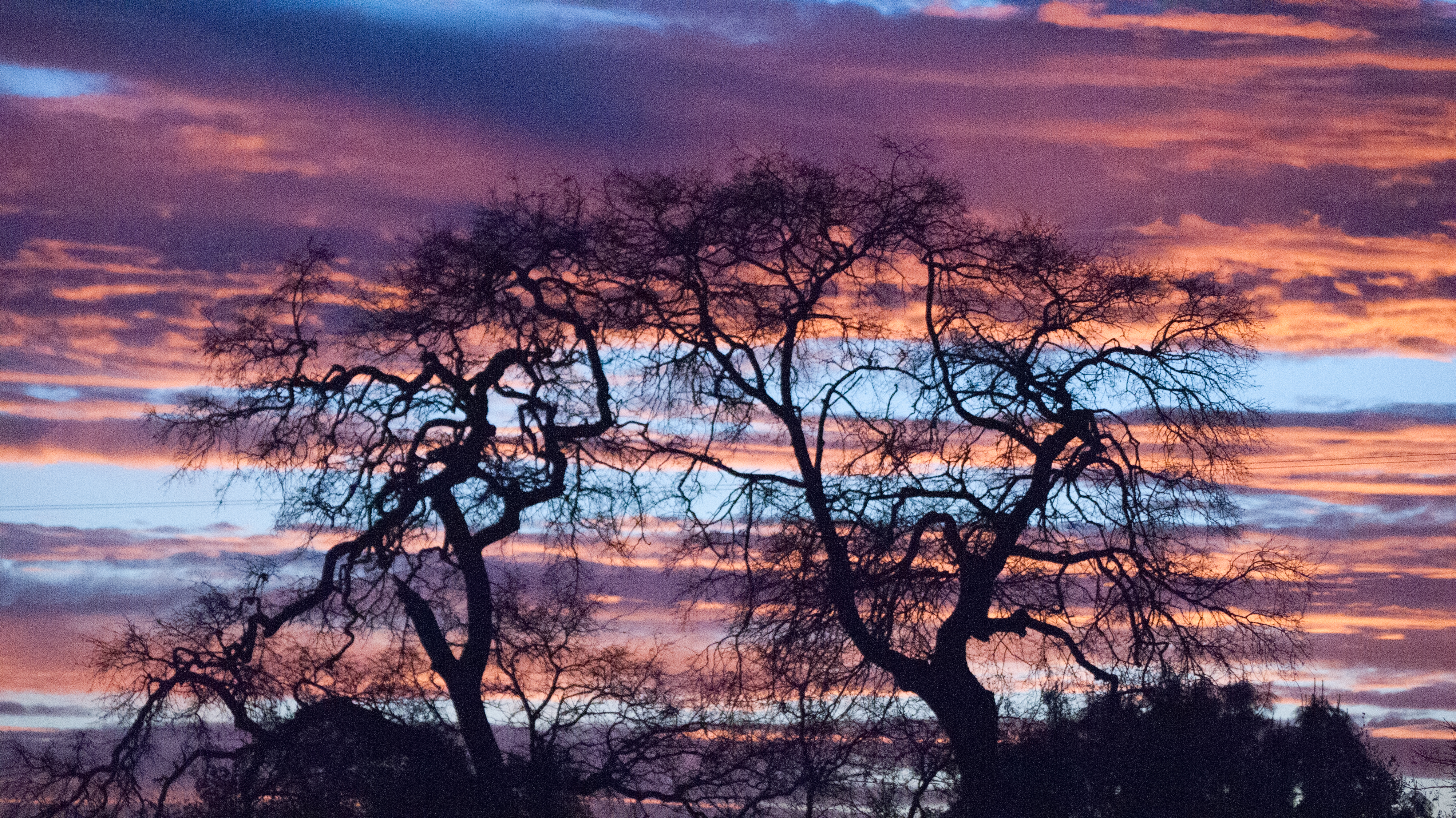
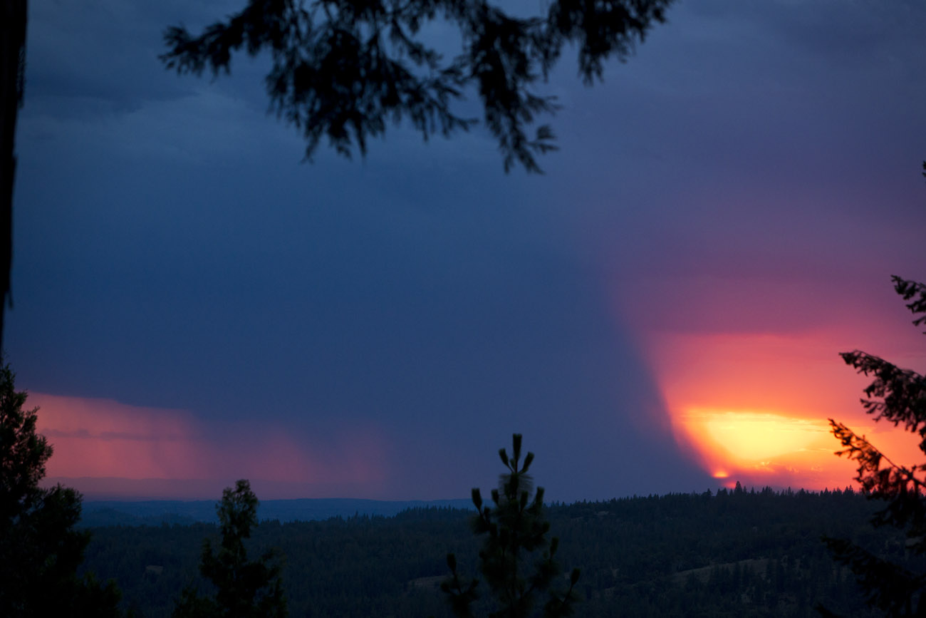
Tonight's Sunset
DSCN0348-001

california sunset

Tonight's Sunset

20120209-Sunset at Horseshoe Ranch
20120209-Sunset at Horseshoe Ranch

20120209-Sunset at Horseshoe Ranch
20120209-Sunset at Horseshoe Ranch
20120209-Sunset at Horseshoe Ranch
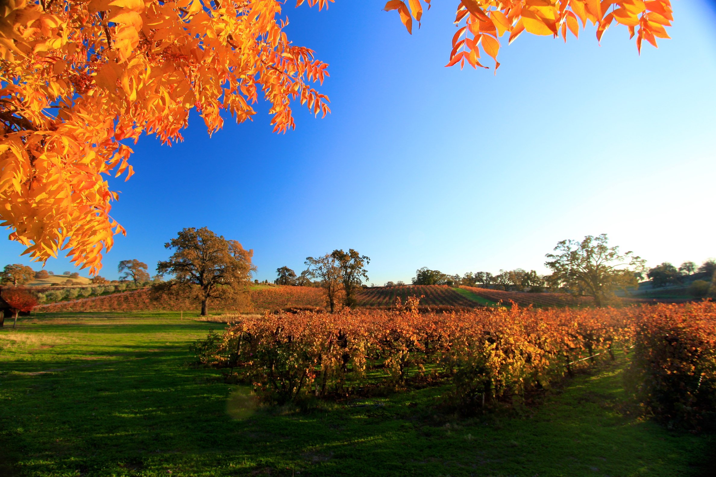
Amador winetasting Nov 2012 145
Amador Sunset
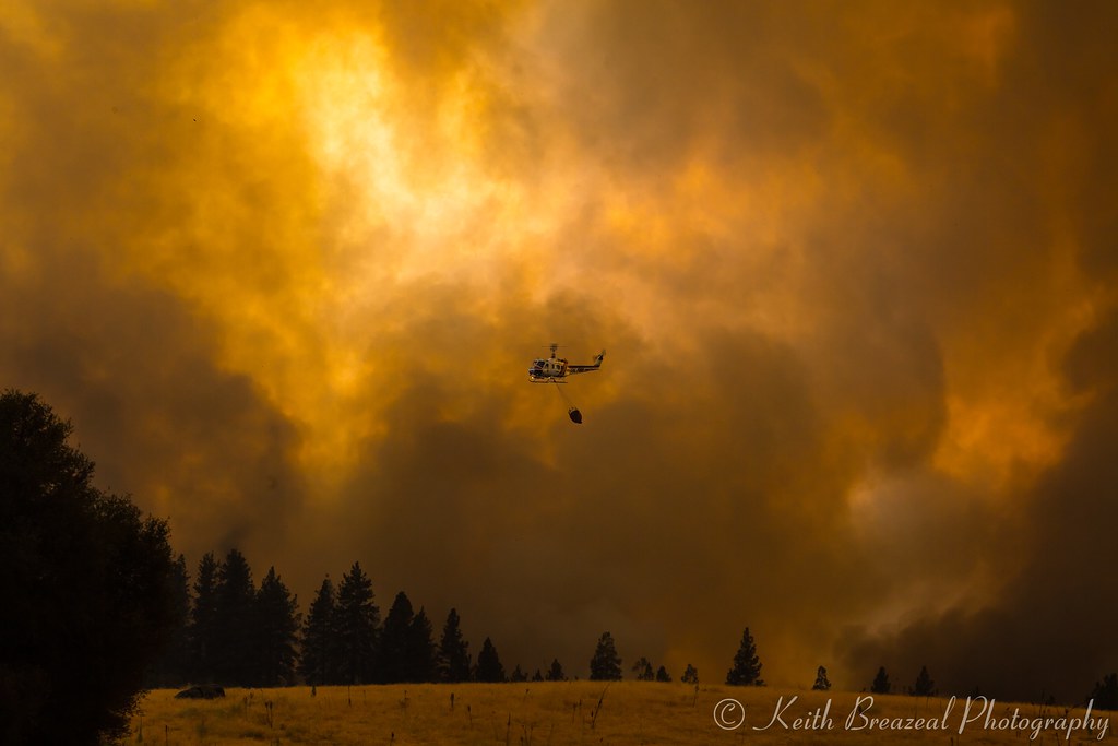
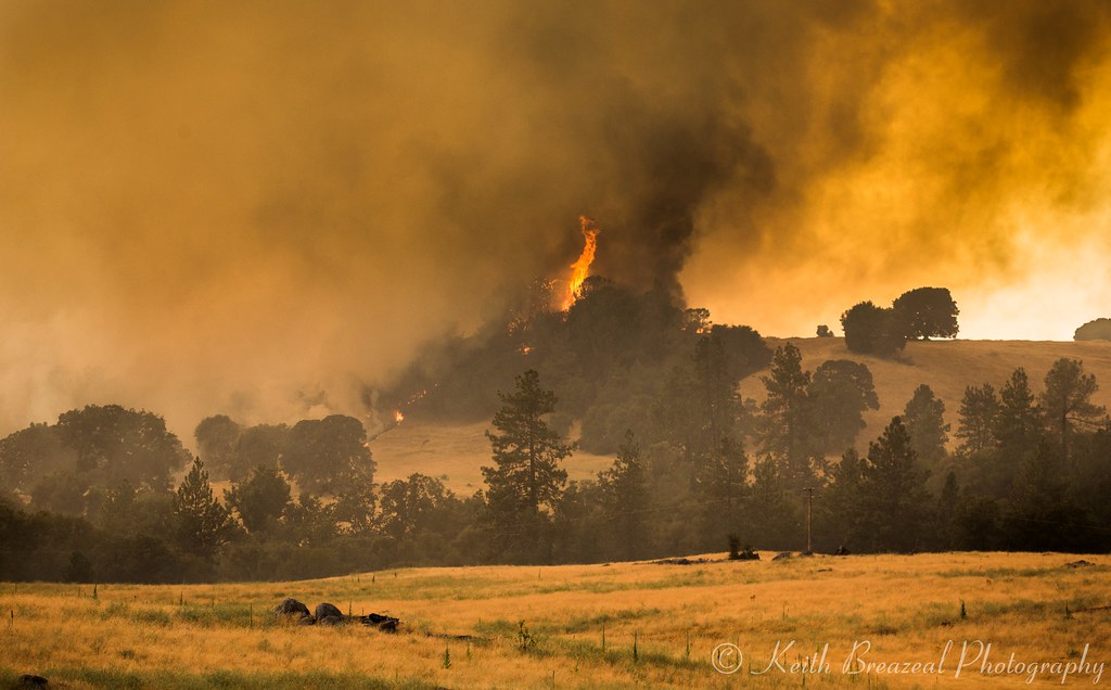
Sand Fire July 2014 © Keith Breazeal
Sacramento deluge
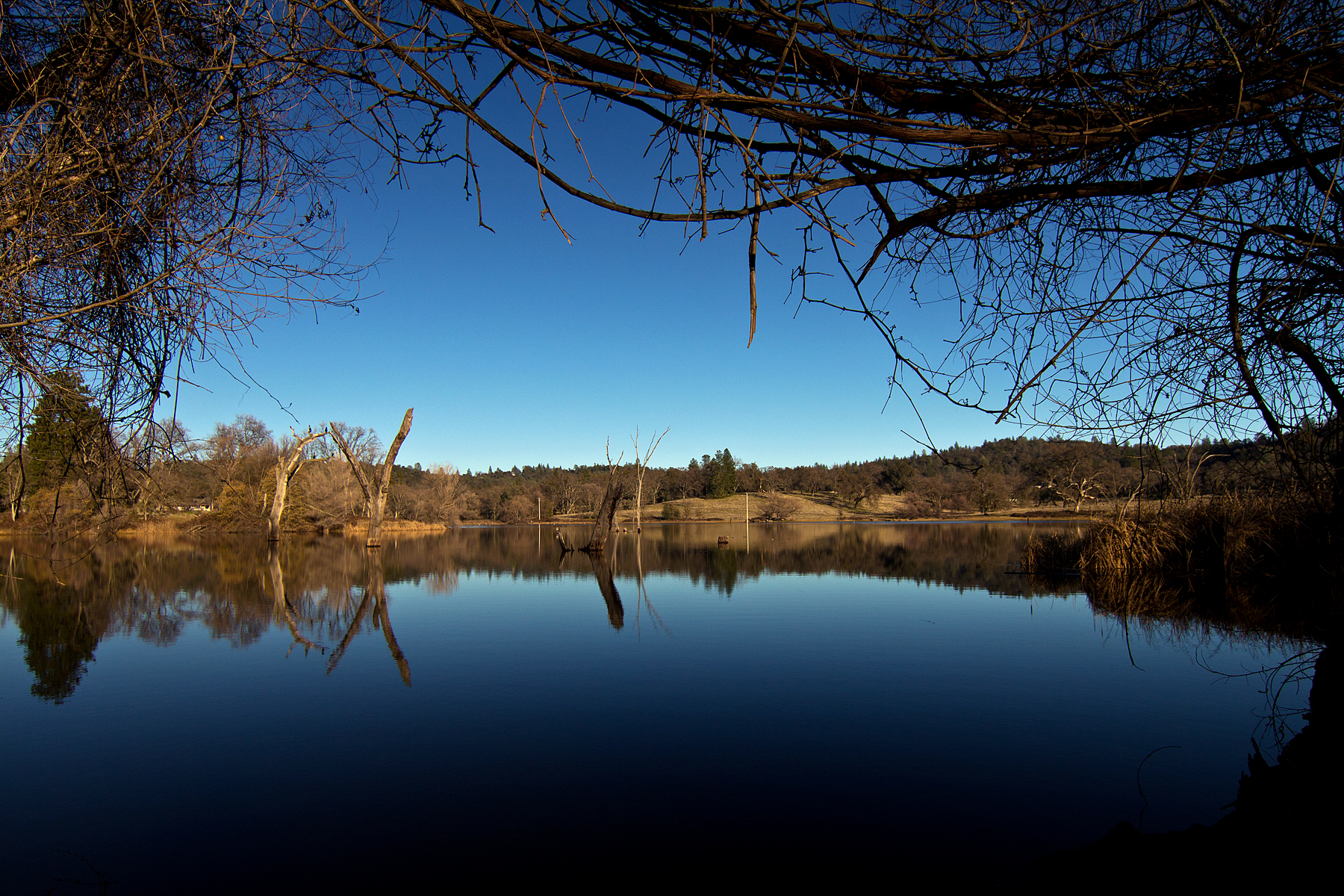
D'Agostini Reservoir
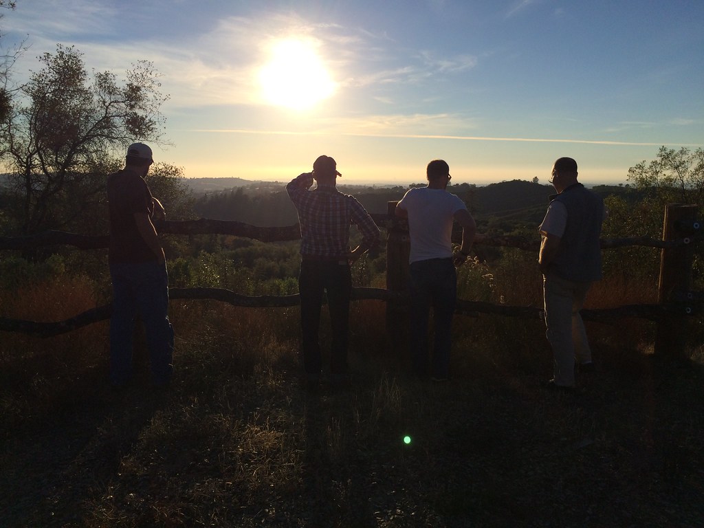
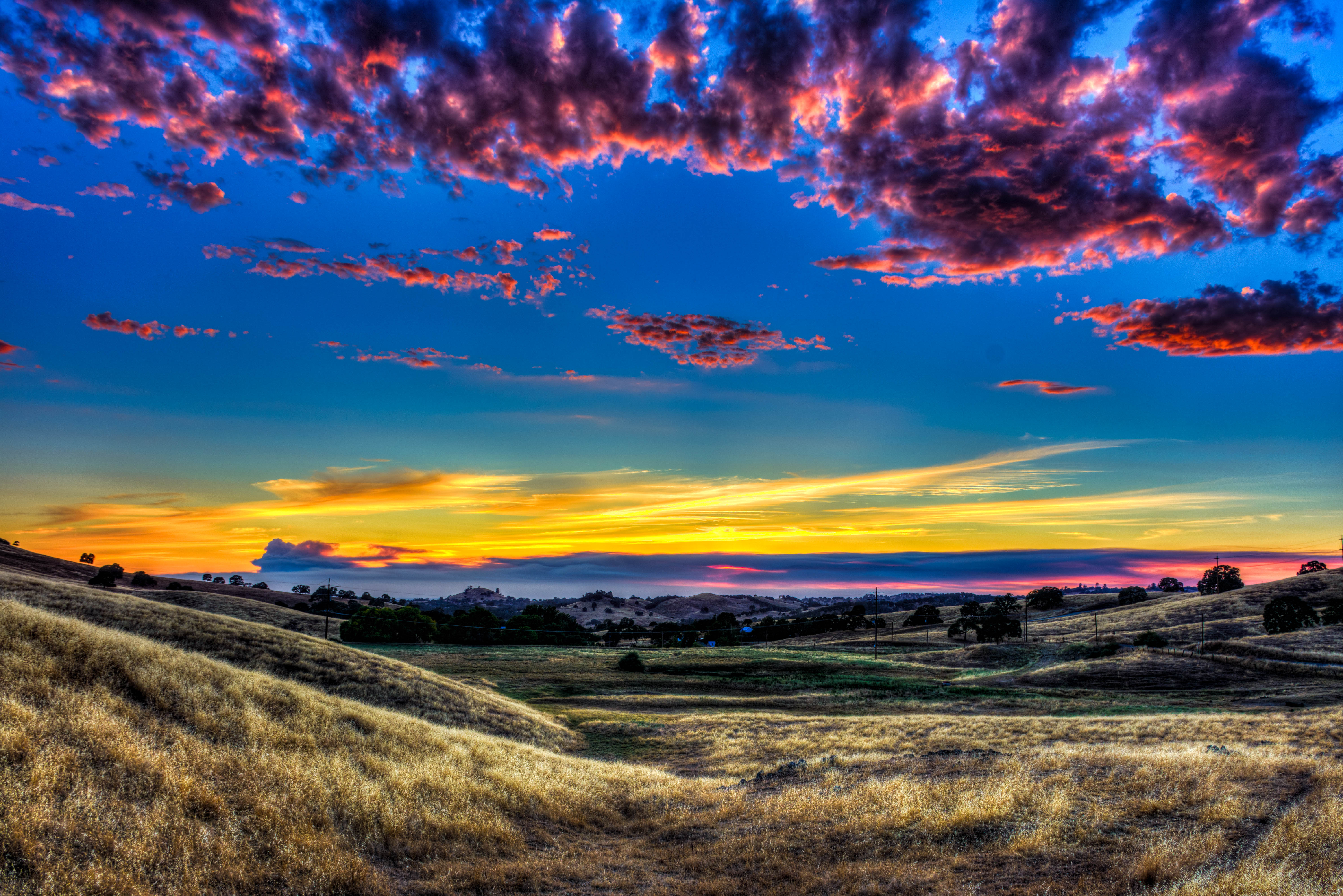
A Final Sunset at the Fence
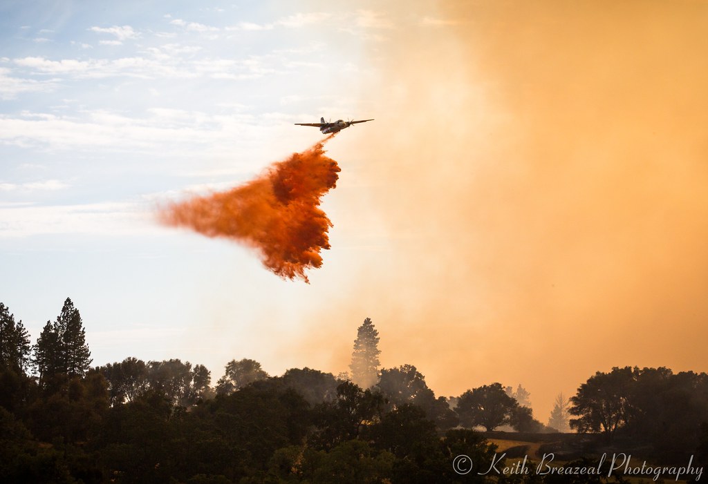
Sand Fire July 2014 © Keith Breazeal-32
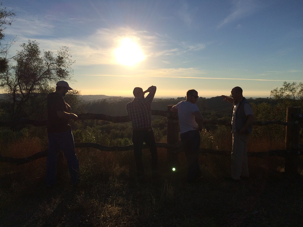
Another Sunset at the Fence
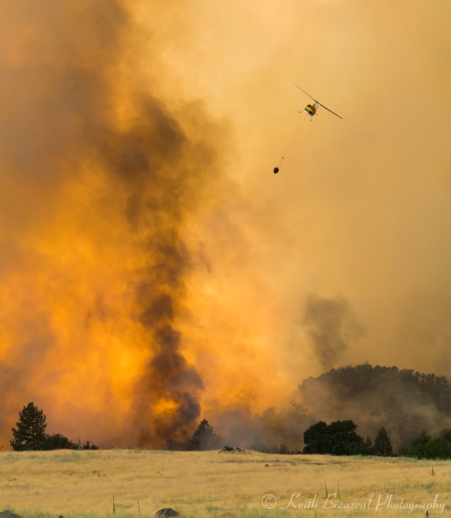
Sand Fire July 2014 © Keith Breazeal-21
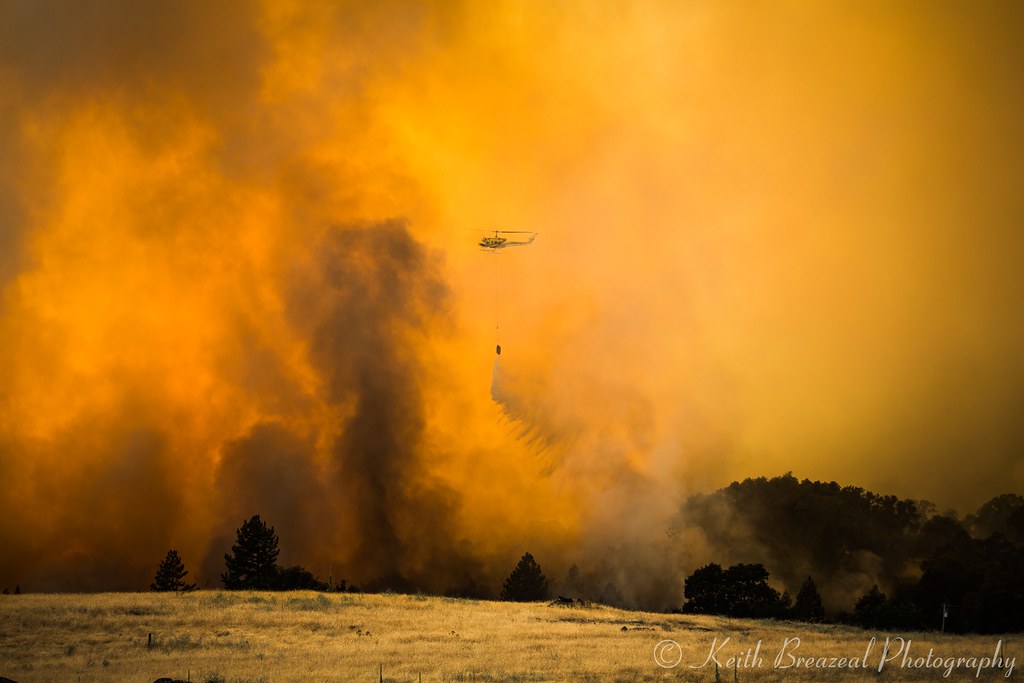
Sand Fire July 2014 © Keith Breazeal-19
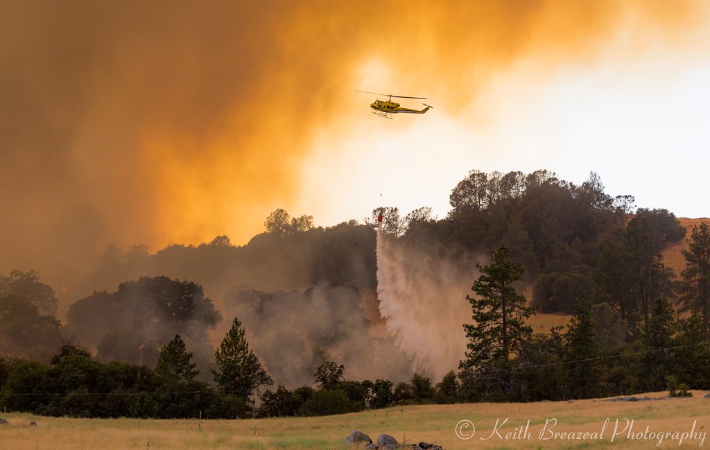
Sand Fire July 2014 © Keith Breazeal-23
Sand Fire July 2014 © Keith Breazeal-28
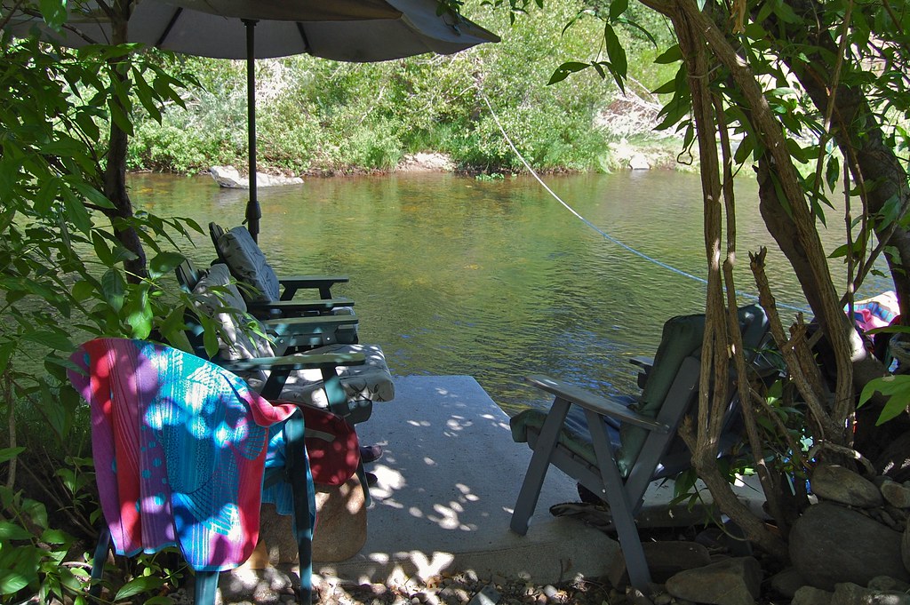
swimming deck
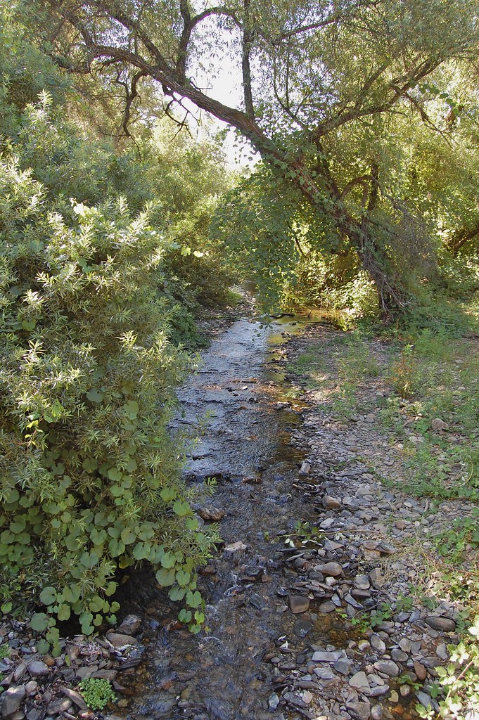
Indian Creek
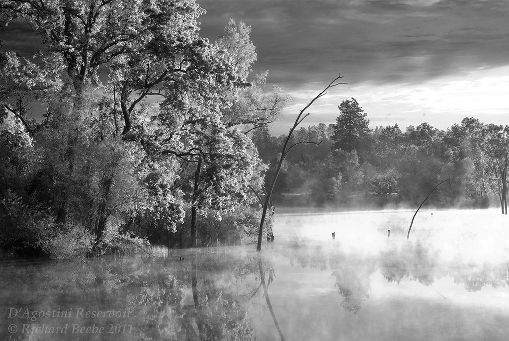
RB_05-27-11_033bw1_D'AgostiniRes-Sunrise
Rock Ln, Pioneer, CA アメリカ合衆国の地図
別の場所を検索
近所の場所
アメリカ合衆国 〒 カリフォルニア州 リバー・パインズ
Canyon Ave, River Pines, CA アメリカ合衆国River Pines PUD
Circle Ave, River Pines, CA アメリカ合衆国サークル・アベニュー
Bertone Dr, Mt Aukum, CA アメリカ合衆国
アメリカ合衆国 カリフォルニア州 マウント・オーカム
Flat Creek Rd, Somerset, CA アメリカ合衆国
D'Agostini, Somerset, CA アメリカ合衆国
Flat Creek Dr, Somerset, CA アメリカ合衆国フラット・クリーク・ドライブ
Loggers Hollow Rd, Somerset, CA アメリカ合衆国
Shenandoah Rd, Plymouth, CA アメリカ合衆国
Fiddletown Rd, Fiddletown, CA アメリカ合衆国
アメリカ合衆国 カリフォルニア州 フィドルタウン
Fiddletown Rd, Fiddletown, CA アメリカ合衆国World's Largest Fiddle
Hollis Ln, Fiddletown, CA アメリカ合衆国
Mellowood Dr, Somerset, CA アメリカ合衆国
Omo Ranch Rd, Somerset, CA アメリカ合衆国
Mt Whitney Dr, Fiddletown, CA アメリカ合衆国
Omo Ranch Rd, Somerset, CA アメリカ合衆国
Bridgeport School Rd, Fiddletown, CA アメリカ合衆国
Bertone Dr, Fiddletown, CA アメリカ合衆国
最近の検索
- アメリカ合衆国 アラスカ州 レッド・ドッグ・マイン日の出日の入り時間
- Am bhf, Borken, ドイツアム・バーンホーフ日の出日の入り時間
- 4th St E, Sonoma, CA, USA日の出日の入り時間
- Oakland Ave, Williamsport, PA アメリカ合衆国日の出日の入り時間
- Via Roma, Pieranica CR, イタリアローマ通り日の出日の入り時間
- クロアチア 〒 ドゥブロブニク GradClock Tower of Dubrovnik日の出日の入り時間
- アルゼンチン チュブ州 トレリュー日の出日の入り時間
- Hartfords Bluff Cir, Mt Pleasant, SC アメリカ合衆国日の出日の入り時間
- 日本、熊本県熊本市北区日の出日の入り時間
- 中華人民共和国 福州市 平潭県 平潭島日の出日の入り時間