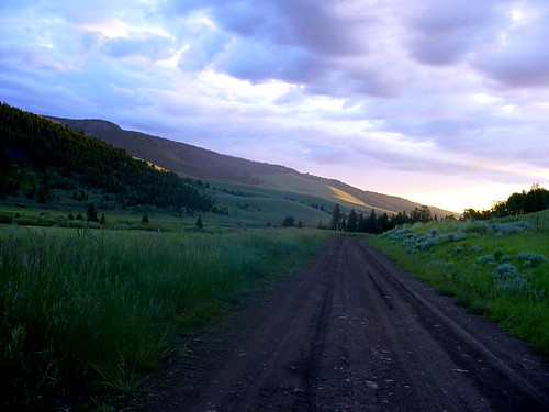
Rock Creek Rd, Emigrant, MT アメリカ合衆国日の出日の入り時間
Location: アメリカ合衆国 > モンタナ州 > パーク > アメリカ合衆国 モンタナ州 エミグラント >
時間帯:
America/Denver
現地時間:
2025-06-29 12:06:49
経度:
-110.955051
緯度:
45.215708
今日の日の出時刻:
05:40:02 AM
今日の日の入時刻:
09:15:18 PM
今日の日長:
15h 35m 16s
明日の日の出時刻:
05:40:36 AM
明日の日の入時刻:
09:15:07 PM
明日の日長:
15h 34m 31s
すべて表示する
| 日付 | 日出 | 日没 | 日長 |
|---|---|---|---|
| 2025年01月01日 | 08:02:44 AM | 04:53:17 PM | 8h 50m 33s |
| 2025年01月02日 | 08:02:42 AM | 04:54:15 PM | 8h 51m 33s |
| 2025年01月03日 | 08:02:36 AM | 04:55:15 PM | 8h 52m 39s |
| 2025年01月04日 | 08:02:28 AM | 04:56:16 PM | 8h 53m 48s |
| 2025年01月05日 | 08:02:17 AM | 04:57:19 PM | 8h 55m 2s |
| 2025年01月06日 | 08:02:04 AM | 04:58:24 PM | 8h 56m 20s |
| 2025年01月07日 | 08:01:48 AM | 04:59:31 PM | 8h 57m 43s |
| 2025年01月08日 | 08:01:30 AM | 05:00:39 PM | 8h 59m 9s |
| 2025年01月09日 | 08:01:08 AM | 05:01:48 PM | 9h 0m 40s |
| 2025年01月10日 | 08:00:45 AM | 05:02:59 PM | 9h 2m 14s |
| 2025年01月11日 | 08:00:19 AM | 05:04:12 PM | 9h 3m 53s |
| 2025年01月12日 | 07:59:50 AM | 05:05:25 PM | 9h 5m 35s |
| 2025年01月13日 | 07:59:19 AM | 05:06:40 PM | 9h 7m 21s |
| 2025年01月14日 | 07:58:45 AM | 05:07:56 PM | 9h 9m 11s |
| 2025年01月15日 | 07:58:09 AM | 05:09:13 PM | 9h 11m 4s |
| 2025年01月16日 | 07:57:31 AM | 05:10:31 PM | 9h 13m 0s |
| 2025年01月17日 | 07:56:50 AM | 05:11:49 PM | 9h 14m 59s |
| 2025年01月18日 | 07:56:07 AM | 05:13:09 PM | 9h 17m 2s |
| 2025年01月19日 | 07:55:21 AM | 05:14:30 PM | 9h 19m 9s |
| 2025年01月20日 | 07:54:33 AM | 05:15:51 PM | 9h 21m 18s |
| 2025年01月21日 | 07:53:43 AM | 05:17:13 PM | 9h 23m 30s |
| 2025年01月22日 | 07:52:51 AM | 05:18:36 PM | 9h 25m 45s |
| 2025年01月23日 | 07:51:57 AM | 05:19:59 PM | 9h 28m 2s |
| 2025年01月24日 | 07:51:00 AM | 05:21:23 PM | 9h 30m 23s |
| 2025年01月25日 | 07:50:02 AM | 05:22:47 PM | 9h 32m 45s |
| 2025年01月26日 | 07:49:01 AM | 05:24:12 PM | 9h 35m 11s |
| 2025年01月27日 | 07:47:58 AM | 05:25:37 PM | 9h 37m 39s |
| 2025年01月28日 | 07:46:54 AM | 05:27:03 PM | 9h 40m 9s |
| 2025年01月29日 | 07:45:47 AM | 05:28:29 PM | 9h 42m 42s |
| 2025年01月30日 | 07:44:39 AM | 05:29:55 PM | 9h 45m 16s |
| 2025年01月31日 | 07:43:29 AM | 05:31:21 PM | 9h 47m 52s |
| 2025年02月01日 | 07:42:17 AM | 05:32:47 PM | 9h 50m 30s |
| 2025年02月02日 | 07:41:03 AM | 05:34:14 PM | 9h 53m 11s |
| 2025年02月03日 | 07:39:47 AM | 05:35:41 PM | 9h 55m 54s |
| 2025年02月04日 | 07:38:30 AM | 05:37:07 PM | 9h 58m 37s |
| 2025年02月05日 | 07:37:11 AM | 05:38:34 PM | 10h 1m 23s |
| 2025年02月06日 | 07:35:51 AM | 05:40:01 PM | 10h 4m 10s |
| 2025年02月07日 | 07:34:29 AM | 05:41:28 PM | 10h 6m 59s |
| 2025年02月08日 | 07:33:05 AM | 05:42:54 PM | 10h 9m 49s |
| 2025年02月09日 | 07:31:40 AM | 05:44:21 PM | 10h 12m 41s |
| 2025年02月10日 | 07:30:14 AM | 05:45:47 PM | 10h 15m 33s |
| 2025年02月11日 | 07:28:46 AM | 05:47:14 PM | 10h 18m 28s |
| 2025年02月12日 | 07:27:17 AM | 05:48:40 PM | 10h 21m 23s |
| 2025年02月13日 | 07:25:46 AM | 05:50:06 PM | 10h 24m 20s |
| 2025年02月14日 | 07:24:14 AM | 05:51:32 PM | 10h 27m 18s |
| 2025年02月15日 | 07:22:41 AM | 05:52:57 PM | 10h 30m 16s |
| 2025年02月16日 | 07:21:07 AM | 05:54:23 PM | 10h 33m 16s |
| 2025年02月17日 | 07:19:32 AM | 05:55:48 PM | 10h 36m 16s |
| 2025年02月18日 | 07:17:56 AM | 05:57:13 PM | 10h 39m 17s |
| 2025年02月19日 | 07:16:18 AM | 05:58:38 PM | 10h 42m 20s |
| 2025年02月20日 | 07:14:40 AM | 06:00:02 PM | 10h 45m 22s |
| 2025年02月21日 | 07:13:00 AM | 06:01:26 PM | 10h 48m 26s |
| 2025年02月22日 | 07:11:19 AM | 06:02:50 PM | 10h 51m 31s |
| 2025年02月23日 | 07:09:38 AM | 06:04:14 PM | 10h 54m 36s |
| 2025年02月24日 | 07:07:56 AM | 06:05:37 PM | 10h 57m 41s |
| 2025年02月25日 | 07:06:13 AM | 06:07:00 PM | 11h 0m 47s |
| 2025年02月26日 | 07:04:29 AM | 06:08:23 PM | 11h 3m 54s |
| 2025年02月27日 | 07:02:44 AM | 06:09:46 PM | 11h 7m 2s |
| 2025年02月28日 | 07:00:58 AM | 06:11:08 PM | 11h 10m 10s |
| 2025年03月01日 | 06:59:12 AM | 06:12:30 PM | 11h 13m 18s |
| 2025年03月02日 | 06:57:25 AM | 06:13:52 PM | 11h 16m 27s |
| 2025年03月03日 | 06:55:38 AM | 06:15:13 PM | 11h 19m 35s |
| 2025年03月04日 | 06:53:50 AM | 06:16:34 PM | 11h 22m 44s |
| 2025年03月05日 | 06:52:01 AM | 06:17:55 PM | 11h 25m 54s |
| 2025年03月06日 | 06:50:12 AM | 06:19:15 PM | 11h 29m 3s |
| 2025年03月07日 | 06:48:22 AM | 06:20:36 PM | 11h 32m 14s |
| 2025年03月08日 | 06:46:32 AM | 06:21:56 PM | 11h 35m 24s |
| 2025年03月09日 | 07:44:46 AM | 07:23:12 PM | 11h 38m 26s |
| 2025年03月10日 | 07:42:55 AM | 07:24:32 PM | 11h 41m 37s |
| 2025年03月11日 | 07:41:03 AM | 07:25:51 PM | 11h 44m 48s |
| 2025年03月12日 | 07:39:11 AM | 07:27:11 PM | 11h 48m 0s |
| 2025年03月13日 | 07:37:19 AM | 07:28:30 PM | 11h 51m 11s |
| 2025年03月14日 | 07:35:27 AM | 07:29:48 PM | 11h 54m 21s |
| 2025年03月15日 | 07:33:34 AM | 07:31:07 PM | 11h 57m 33s |
| 2025年03月16日 | 07:31:42 AM | 07:32:25 PM | 12h 0m 43s |
| 2025年03月17日 | 07:29:49 AM | 07:33:43 PM | 12h 3m 54s |
| 2025年03月18日 | 07:27:56 AM | 07:35:01 PM | 12h 7m 5s |
| 2025年03月19日 | 07:26:02 AM | 07:36:19 PM | 12h 10m 17s |
| 2025年03月20日 | 07:24:09 AM | 07:37:37 PM | 12h 13m 28s |
| 2025年03月21日 | 07:22:15 AM | 07:38:55 PM | 12h 16m 40s |
| 2025年03月22日 | 07:20:22 AM | 07:40:12 PM | 12h 19m 50s |
| 2025年03月23日 | 07:18:29 AM | 07:41:29 PM | 12h 23m 0s |
| 2025年03月24日 | 07:16:35 AM | 07:42:47 PM | 12h 26m 12s |
| 2025年03月25日 | 07:14:42 AM | 07:44:04 PM | 12h 29m 22s |
| 2025年03月26日 | 07:12:48 AM | 07:45:21 PM | 12h 32m 33s |
| 2025年03月27日 | 07:10:55 AM | 07:46:38 PM | 12h 35m 43s |
| 2025年03月28日 | 07:09:02 AM | 07:47:55 PM | 12h 38m 53s |
| 2025年03月29日 | 07:07:10 AM | 07:49:11 PM | 12h 42m 1s |
| 2025年03月30日 | 07:05:17 AM | 07:50:28 PM | 12h 45m 11s |
| 2025年03月31日 | 07:03:25 AM | 07:51:45 PM | 12h 48m 20s |
| 2025年04月01日 | 07:01:33 AM | 07:53:02 PM | 12h 51m 29s |
| 2025年04月02日 | 06:59:41 AM | 07:54:18 PM | 12h 54m 37s |
| 2025年04月03日 | 06:57:50 AM | 07:55:35 PM | 12h 57m 45s |
| 2025年04月04日 | 06:55:59 AM | 07:56:51 PM | 13h 0m 52s |
| 2025年04月05日 | 06:54:08 AM | 07:58:08 PM | 13h 4m 0s |
| 2025年04月06日 | 06:52:18 AM | 07:59:25 PM | 13h 7m 7s |
| 2025年04月07日 | 06:50:28 AM | 08:00:41 PM | 13h 10m 13s |
| 2025年04月08日 | 06:48:39 AM | 08:01:58 PM | 13h 13m 19s |
| 2025年04月09日 | 06:46:50 AM | 08:03:14 PM | 13h 16m 24s |
| 2025年04月10日 | 06:45:02 AM | 08:04:31 PM | 13h 19m 29s |
| 2025年04月11日 | 06:43:15 AM | 08:05:47 PM | 13h 22m 32s |
| 2025年04月12日 | 06:41:28 AM | 08:07:04 PM | 13h 25m 36s |
| 2025年04月13日 | 06:39:42 AM | 08:08:20 PM | 13h 28m 38s |
| 2025年04月14日 | 06:37:56 AM | 08:09:37 PM | 13h 31m 41s |
| 2025年04月15日 | 06:36:11 AM | 08:10:53 PM | 13h 34m 42s |
| 2025年04月16日 | 06:34:27 AM | 08:12:10 PM | 13h 37m 43s |
| 2025年04月17日 | 06:32:44 AM | 08:13:26 PM | 13h 40m 42s |
| 2025年04月18日 | 06:31:02 AM | 08:14:43 PM | 13h 43m 41s |
| 2025年04月19日 | 06:29:20 AM | 08:15:59 PM | 13h 46m 39s |
| 2025年04月20日 | 06:27:40 AM | 08:17:15 PM | 13h 49m 35s |
| 2025年04月21日 | 06:26:00 AM | 08:18:32 PM | 13h 52m 32s |
| 2025年04月22日 | 06:24:22 AM | 08:19:48 PM | 13h 55m 26s |
| 2025年04月23日 | 06:22:44 AM | 08:21:04 PM | 13h 58m 20s |
| 2025年04月24日 | 06:21:07 AM | 08:22:20 PM | 14h 1m 13s |
| 2025年04月25日 | 06:19:32 AM | 08:23:36 PM | 14h 4m 4s |
| 2025年04月26日 | 06:17:57 AM | 08:24:52 PM | 14h 6m 55s |
| 2025年04月27日 | 06:16:24 AM | 08:26:08 PM | 14h 9m 44s |
| 2025年04月28日 | 06:14:52 AM | 08:27:24 PM | 14h 12m 32s |
| 2025年04月29日 | 06:13:21 AM | 08:28:39 PM | 14h 15m 18s |
| 2025年04月30日 | 06:11:51 AM | 08:29:54 PM | 14h 18m 3s |
| 2025年05月01日 | 06:10:23 AM | 08:31:09 PM | 14h 20m 46s |
| 2025年05月02日 | 06:08:56 AM | 08:32:24 PM | 14h 23m 28s |
| 2025年05月03日 | 06:07:31 AM | 08:33:39 PM | 14h 26m 8s |
| 2025年05月04日 | 06:06:06 AM | 08:34:53 PM | 14h 28m 47s |
| 2025年05月05日 | 06:04:44 AM | 08:36:07 PM | 14h 31m 23s |
| 2025年05月06日 | 06:03:22 AM | 08:37:20 PM | 14h 33m 58s |
| 2025年05月07日 | 06:02:03 AM | 08:38:33 PM | 14h 36m 30s |
| 2025年05月08日 | 06:00:44 AM | 08:39:46 PM | 14h 39m 2s |
| 2025年05月09日 | 05:59:28 AM | 08:40:58 PM | 14h 41m 30s |
| 2025年05月10日 | 05:58:13 AM | 08:42:10 PM | 14h 43m 57s |
| 2025年05月11日 | 05:57:00 AM | 08:43:22 PM | 14h 46m 22s |
| 2025年05月12日 | 05:55:48 AM | 08:44:32 PM | 14h 48m 44s |
| 2025年05月13日 | 05:54:38 AM | 08:45:42 PM | 14h 51m 4s |
| 2025年05月14日 | 05:53:30 AM | 08:46:52 PM | 14h 53m 22s |
| 2025年05月15日 | 05:52:24 AM | 08:48:01 PM | 14h 55m 37s |
| 2025年05月16日 | 05:51:19 AM | 08:49:09 PM | 14h 57m 50s |
| 2025年05月17日 | 05:50:16 AM | 08:50:16 PM | 15h 0m 0s |
| 2025年05月18日 | 05:49:16 AM | 08:51:23 PM | 15h 2m 7s |
| 2025年05月19日 | 05:48:17 AM | 08:52:29 PM | 15h 4m 12s |
| 2025年05月20日 | 05:47:20 AM | 08:53:33 PM | 15h 6m 13s |
| 2025年05月21日 | 05:46:25 AM | 08:54:37 PM | 15h 8m 12s |
| 2025年05月22日 | 05:45:33 AM | 08:55:40 PM | 15h 10m 7s |
| 2025年05月23日 | 05:44:42 AM | 08:56:42 PM | 15h 12m 0s |
| 2025年05月24日 | 05:43:53 AM | 08:57:43 PM | 15h 13m 50s |
| 2025年05月25日 | 05:43:07 AM | 08:58:42 PM | 15h 15m 35s |
| 2025年05月26日 | 05:42:23 AM | 08:59:41 PM | 15h 17m 18s |
| 2025年05月27日 | 05:41:40 AM | 09:00:38 PM | 15h 18m 58s |
| 2025年05月28日 | 05:41:01 AM | 09:01:34 PM | 15h 20m 33s |
| 2025年05月29日 | 05:40:23 AM | 09:02:28 PM | 15h 22m 5s |
| 2025年05月30日 | 05:39:47 AM | 09:03:21 PM | 15h 23m 34s |
| 2025年05月31日 | 05:39:14 AM | 09:04:13 PM | 15h 24m 59s |
| 2025年06月01日 | 05:38:43 AM | 09:05:03 PM | 15h 26m 20s |
| 2025年06月02日 | 05:38:14 AM | 09:05:51 PM | 15h 27m 37s |
| 2025年06月03日 | 05:37:48 AM | 09:06:38 PM | 15h 28m 50s |
| 2025年06月04日 | 05:37:24 AM | 09:07:24 PM | 15h 30m 0s |
| 2025年06月05日 | 05:37:02 AM | 09:08:07 PM | 15h 31m 5s |
| 2025年06月06日 | 05:36:43 AM | 09:08:49 PM | 15h 32m 6s |
| 2025年06月07日 | 05:36:26 AM | 09:09:29 PM | 15h 33m 3s |
| 2025年06月08日 | 05:36:11 AM | 09:10:08 PM | 15h 33m 57s |
| 2025年06月09日 | 05:35:58 AM | 09:10:44 PM | 15h 34m 46s |
| 2025年06月10日 | 05:35:48 AM | 09:11:19 PM | 15h 35m 31s |
| 2025年06月11日 | 05:35:41 AM | 09:11:51 PM | 15h 36m 10s |
| 2025年06月12日 | 05:35:35 AM | 09:12:21 PM | 15h 36m 46s |
| 2025年06月13日 | 05:35:32 AM | 09:12:50 PM | 15h 37m 18s |
| 2025年06月14日 | 05:35:32 AM | 09:13:16 PM | 15h 37m 44s |
| 2025年06月15日 | 05:35:33 AM | 09:13:40 PM | 15h 38m 7s |
| 2025年06月16日 | 05:35:37 AM | 09:14:02 PM | 15h 38m 25s |
| 2025年06月17日 | 05:35:44 AM | 09:14:22 PM | 15h 38m 38s |
| 2025年06月18日 | 05:35:52 AM | 09:14:40 PM | 15h 38m 48s |
| 2025年06月19日 | 05:36:03 AM | 09:14:55 PM | 15h 38m 52s |
| 2025年06月20日 | 05:36:16 AM | 09:15:09 PM | 15h 38m 53s |
| 2025年06月21日 | 05:36:31 AM | 09:15:20 PM | 15h 38m 49s |
| 2025年06月22日 | 05:36:48 AM | 09:15:28 PM | 15h 38m 40s |
| 2025年06月23日 | 05:37:08 AM | 09:15:34 PM | 15h 38m 26s |
| 2025年06月24日 | 05:37:29 AM | 09:15:38 PM | 15h 38m 9s |
| 2025年06月25日 | 05:37:53 AM | 09:15:40 PM | 15h 37m 47s |
| 2025年06月26日 | 05:38:19 AM | 09:15:39 PM | 15h 37m 20s |
| 2025年06月27日 | 05:38:47 AM | 09:15:36 PM | 15h 36m 49s |
| 2025年06月28日 | 05:39:16 AM | 09:15:30 PM | 15h 36m 14s |
| 2025年06月29日 | 05:39:48 AM | 09:15:22 PM | 15h 35m 34s |
| 2025年06月30日 | 05:40:22 AM | 09:15:12 PM | 15h 34m 50s |
| 2025年07月01日 | 05:40:57 AM | 09:14:59 PM | 15h 34m 2s |
| 2025年07月02日 | 05:41:34 AM | 09:14:44 PM | 15h 33m 10s |
| 2025年07月03日 | 05:42:13 AM | 09:14:26 PM | 15h 32m 13s |
| 2025年07月04日 | 05:42:54 AM | 09:14:06 PM | 15h 31m 12s |
| 2025年07月05日 | 05:43:36 AM | 09:13:44 PM | 15h 30m 8s |
| 2025年07月06日 | 05:44:20 AM | 09:13:19 PM | 15h 28m 59s |
| 2025年07月07日 | 05:45:06 AM | 09:12:52 PM | 15h 27m 46s |
| 2025年07月08日 | 05:45:53 AM | 09:12:23 PM | 15h 26m 30s |
| 2025年07月09日 | 05:46:41 AM | 09:11:51 PM | 15h 25m 10s |
| 2025年07月10日 | 05:47:31 AM | 09:11:17 PM | 15h 23m 46s |
| 2025年07月11日 | 05:48:23 AM | 09:10:41 PM | 15h 22m 18s |
| 2025年07月12日 | 05:49:15 AM | 09:10:02 PM | 15h 20m 47s |
| 2025年07月13日 | 05:50:09 AM | 09:09:22 PM | 15h 19m 13s |
| 2025年07月14日 | 05:51:05 AM | 09:08:39 PM | 15h 17m 34s |
| 2025年07月15日 | 05:52:01 AM | 09:07:53 PM | 15h 15m 52s |
| 2025年07月16日 | 05:52:58 AM | 09:07:06 PM | 15h 14m 8s |
| 2025年07月17日 | 05:53:57 AM | 09:06:17 PM | 15h 12m 20s |
| 2025年07月18日 | 05:54:56 AM | 09:05:25 PM | 15h 10m 29s |
| 2025年07月19日 | 05:55:57 AM | 09:04:31 PM | 15h 8m 34s |
| 2025年07月20日 | 05:56:58 AM | 09:03:35 PM | 15h 6m 37s |
| 2025年07月21日 | 05:58:01 AM | 09:02:38 PM | 15h 4m 37s |
| 2025年07月22日 | 05:59:04 AM | 09:01:38 PM | 15h 2m 34s |
| 2025年07月23日 | 06:00:08 AM | 09:00:36 PM | 15h 0m 28s |
| 2025年07月24日 | 06:01:12 AM | 08:59:33 PM | 14h 58m 21s |
| 2025年07月25日 | 06:02:18 AM | 08:58:27 PM | 14h 56m 9s |
| 2025年07月26日 | 06:03:24 AM | 08:57:20 PM | 14h 53m 56s |
| 2025年07月27日 | 06:04:30 AM | 08:56:11 PM | 14h 51m 41s |
| 2025年07月28日 | 06:05:37 AM | 08:55:00 PM | 14h 49m 23s |
| 2025年07月29日 | 06:06:45 AM | 08:53:47 PM | 14h 47m 2s |
| 2025年07月30日 | 06:07:53 AM | 08:52:33 PM | 14h 44m 40s |
| 2025年07月31日 | 06:09:02 AM | 08:51:16 PM | 14h 42m 14s |
| 2025年08月01日 | 06:10:11 AM | 08:49:59 PM | 14h 39m 48s |
| 2025年08月02日 | 06:11:21 AM | 08:48:39 PM | 14h 37m 18s |
| 2025年08月03日 | 06:12:30 AM | 08:47:18 PM | 14h 34m 48s |
| 2025年08月04日 | 06:13:40 AM | 08:45:56 PM | 14h 32m 16s |
| 2025年08月05日 | 06:14:51 AM | 08:44:32 PM | 14h 29m 41s |
| 2025年08月06日 | 06:16:02 AM | 08:43:07 PM | 14h 27m 5s |
| 2025年08月07日 | 06:17:13 AM | 08:41:40 PM | 14h 24m 27s |
| 2025年08月08日 | 06:18:24 AM | 08:40:12 PM | 14h 21m 48s |
| 2025年08月09日 | 06:19:35 AM | 08:38:42 PM | 14h 19m 7s |
| 2025年08月10日 | 06:20:47 AM | 08:37:12 PM | 14h 16m 25s |
| 2025年08月11日 | 06:21:58 AM | 08:35:39 PM | 14h 13m 41s |
| 2025年08月12日 | 06:23:10 AM | 08:34:06 PM | 14h 10m 56s |
| 2025年08月13日 | 06:24:22 AM | 08:32:32 PM | 14h 8m 10s |
| 2025年08月14日 | 06:25:34 AM | 08:30:56 PM | 14h 5m 22s |
| 2025年08月15日 | 06:26:46 AM | 08:29:19 PM | 14h 2m 33s |
| 2025年08月16日 | 06:27:58 AM | 08:27:41 PM | 13h 59m 43s |
| 2025年08月17日 | 06:29:10 AM | 08:26:02 PM | 13h 56m 52s |
| 2025年08月18日 | 06:30:23 AM | 08:24:22 PM | 13h 53m 59s |
| 2025年08月19日 | 06:31:35 AM | 08:22:42 PM | 13h 51m 7s |
| 2025年08月20日 | 06:32:47 AM | 08:21:00 PM | 13h 48m 13s |
| 2025年08月21日 | 06:33:59 AM | 08:19:17 PM | 13h 45m 18s |
| 2025年08月22日 | 06:35:11 AM | 08:17:33 PM | 13h 42m 22s |
| 2025年08月23日 | 06:36:24 AM | 08:15:49 PM | 13h 39m 25s |
| 2025年08月24日 | 06:37:36 AM | 08:14:03 PM | 13h 36m 27s |
| 2025年08月25日 | 06:38:48 AM | 08:12:17 PM | 13h 33m 29s |
| 2025年08月26日 | 06:40:00 AM | 08:10:30 PM | 13h 30m 30s |
| 2025年08月27日 | 06:41:12 AM | 08:08:43 PM | 13h 27m 31s |
| 2025年08月28日 | 06:42:24 AM | 08:06:54 PM | 13h 24m 30s |
| 2025年08月29日 | 06:43:36 AM | 08:05:06 PM | 13h 21m 30s |
| 2025年08月30日 | 06:44:49 AM | 08:03:16 PM | 13h 18m 27s |
| 2025年08月31日 | 06:46:01 AM | 08:01:26 PM | 13h 15m 25s |
| 2025年09月01日 | 06:47:13 AM | 07:59:35 PM | 13h 12m 22s |
| 2025年09月02日 | 06:48:25 AM | 07:57:44 PM | 13h 9m 19s |
| 2025年09月03日 | 06:49:36 AM | 07:55:52 PM | 13h 6m 16s |
| 2025年09月04日 | 06:50:48 AM | 07:54:00 PM | 13h 3m 12s |
| 2025年09月05日 | 06:52:00 AM | 07:52:08 PM | 13h 0m 8s |
| 2025年09月06日 | 06:53:12 AM | 07:50:15 PM | 12h 57m 3s |
| 2025年09月07日 | 06:54:24 AM | 07:48:21 PM | 12h 53m 57s |
| 2025年09月08日 | 06:55:36 AM | 07:46:28 PM | 12h 50m 52s |
| 2025年09月09日 | 06:56:48 AM | 07:44:34 PM | 12h 47m 46s |
| 2025年09月10日 | 06:58:00 AM | 07:42:39 PM | 12h 44m 39s |
| 2025年09月11日 | 06:59:12 AM | 07:40:45 PM | 12h 41m 33s |
| 2025年09月12日 | 07:00:24 AM | 07:38:50 PM | 12h 38m 26s |
| 2025年09月13日 | 07:01:36 AM | 07:36:55 PM | 12h 35m 19s |
| 2025年09月14日 | 07:02:49 AM | 07:35:00 PM | 12h 32m 11s |
| 2025年09月15日 | 07:04:01 AM | 07:33:05 PM | 12h 29m 4s |
| 2025年09月16日 | 07:05:13 AM | 07:31:10 PM | 12h 25m 57s |
| 2025年09月17日 | 07:06:26 AM | 07:29:15 PM | 12h 22m 49s |
| 2025年09月18日 | 07:07:38 AM | 07:27:19 PM | 12h 19m 41s |
| 2025年09月19日 | 07:08:51 AM | 07:25:24 PM | 12h 16m 33s |
| 2025年09月20日 | 07:10:04 AM | 07:23:29 PM | 12h 13m 25s |
| 2025年09月21日 | 07:11:16 AM | 07:21:33 PM | 12h 10m 17s |
| 2025年09月22日 | 07:12:30 AM | 07:19:38 PM | 12h 7m 8s |
| 2025年09月23日 | 07:13:43 AM | 07:17:43 PM | 12h 4m 0s |
| 2025年09月24日 | 07:14:56 AM | 07:15:48 PM | 12h 0m 52s |
| 2025年09月25日 | 07:16:10 AM | 07:13:54 PM | 11h 57m 44s |
| 2025年09月26日 | 07:17:23 AM | 07:11:59 PM | 11h 54m 36s |
| 2025年09月27日 | 07:18:37 AM | 07:10:05 PM | 11h 51m 28s |
| 2025年09月28日 | 07:19:51 AM | 07:08:11 PM | 11h 48m 20s |
| 2025年09月29日 | 07:21:06 AM | 07:06:17 PM | 11h 45m 11s |
| 2025年09月30日 | 07:22:20 AM | 07:04:24 PM | 11h 42m 4s |
| 2025年10月01日 | 07:23:35 AM | 07:02:31 PM | 11h 38m 56s |
| 2025年10月02日 | 07:24:50 AM | 07:00:38 PM | 11h 35m 48s |
| 2025年10月03日 | 07:26:05 AM | 06:58:46 PM | 11h 32m 41s |
| 2025年10月04日 | 07:27:21 AM | 06:56:54 PM | 11h 29m 33s |
| 2025年10月05日 | 07:28:37 AM | 06:55:03 PM | 11h 26m 26s |
| 2025年10月06日 | 07:29:53 AM | 06:53:12 PM | 11h 23m 19s |
| 2025年10月07日 | 07:31:09 AM | 06:51:22 PM | 11h 20m 13s |
| 2025年10月08日 | 07:32:26 AM | 06:49:33 PM | 11h 17m 7s |
| 2025年10月09日 | 07:33:43 AM | 06:47:44 PM | 11h 14m 1s |
| 2025年10月10日 | 07:35:00 AM | 06:45:56 PM | 11h 10m 56s |
| 2025年10月11日 | 07:36:18 AM | 06:44:08 PM | 11h 7m 50s |
| 2025年10月12日 | 07:37:36 AM | 06:42:21 PM | 11h 4m 45s |
| 2025年10月13日 | 07:38:54 AM | 06:40:35 PM | 11h 1m 41s |
| 2025年10月14日 | 07:40:12 AM | 06:38:50 PM | 10h 58m 38s |
| 2025年10月15日 | 07:41:31 AM | 06:37:05 PM | 10h 55m 34s |
| 2025年10月16日 | 07:42:50 AM | 06:35:22 PM | 10h 52m 32s |
| 2025年10月17日 | 07:44:10 AM | 06:33:39 PM | 10h 49m 29s |
| 2025年10月18日 | 07:45:29 AM | 06:31:57 PM | 10h 46m 28s |
| 2025年10月19日 | 07:46:49 AM | 06:30:16 PM | 10h 43m 27s |
| 2025年10月20日 | 07:48:09 AM | 06:28:37 PM | 10h 40m 28s |
| 2025年10月21日 | 07:49:30 AM | 06:26:58 PM | 10h 37m 28s |
| 2025年10月22日 | 07:50:51 AM | 06:25:20 PM | 10h 34m 29s |
| 2025年10月23日 | 07:52:12 AM | 06:23:44 PM | 10h 31m 32s |
| 2025年10月24日 | 07:53:33 AM | 06:22:09 PM | 10h 28m 36s |
| 2025年10月25日 | 07:54:55 AM | 06:20:34 PM | 10h 25m 39s |
| 2025年10月26日 | 07:56:17 AM | 06:19:01 PM | 10h 22m 44s |
| 2025年10月27日 | 07:57:39 AM | 06:17:30 PM | 10h 19m 51s |
| 2025年10月28日 | 07:59:01 AM | 06:16:00 PM | 10h 16m 59s |
| 2025年10月29日 | 08:00:24 AM | 06:14:31 PM | 10h 14m 7s |
| 2025年10月30日 | 08:01:46 AM | 06:13:03 PM | 10h 11m 17s |
| 2025年10月31日 | 08:03:09 AM | 06:11:37 PM | 10h 8m 28s |
| 2025年11月01日 | 08:04:32 AM | 06:10:12 PM | 10h 5m 40s |
| 2025年11月02日 | 07:05:59 AM | 05:08:46 PM | 10h 2m 47s |
| 2025年11月03日 | 07:07:22 AM | 05:07:24 PM | 10h 0m 2s |
| 2025年11月04日 | 07:08:45 AM | 05:06:05 PM | 9h 57m 20s |
| 2025年11月05日 | 07:10:08 AM | 05:04:46 PM | 9h 54m 38s |
| 2025年11月06日 | 07:11:31 AM | 05:03:30 PM | 9h 51m 59s |
| 2025年11月07日 | 07:12:54 AM | 05:02:15 PM | 9h 49m 21s |
| 2025年11月08日 | 07:14:17 AM | 05:01:02 PM | 9h 46m 45s |
| 2025年11月09日 | 07:15:40 AM | 04:59:51 PM | 9h 44m 11s |
| 2025年11月10日 | 07:17:03 AM | 04:58:42 PM | 9h 41m 39s |
| 2025年11月11日 | 07:18:25 AM | 04:57:34 PM | 9h 39m 9s |
| 2025年11月12日 | 07:19:48 AM | 04:56:29 PM | 9h 36m 41s |
| 2025年11月13日 | 07:21:10 AM | 04:55:25 PM | 9h 34m 15s |
| 2025年11月14日 | 07:22:31 AM | 04:54:24 PM | 9h 31m 53s |
| 2025年11月15日 | 07:23:53 AM | 04:53:24 PM | 9h 29m 31s |
| 2025年11月16日 | 07:25:14 AM | 04:52:27 PM | 9h 27m 13s |
| 2025年11月17日 | 07:26:34 AM | 04:51:32 PM | 9h 24m 58s |
| 2025年11月18日 | 07:27:54 AM | 04:50:39 PM | 9h 22m 45s |
| 2025年11月19日 | 07:29:13 AM | 04:49:48 PM | 9h 20m 35s |
| 2025年11月20日 | 07:30:32 AM | 04:48:59 PM | 9h 18m 27s |
| 2025年11月21日 | 07:31:50 AM | 04:48:13 PM | 9h 16m 23s |
| 2025年11月22日 | 07:33:07 AM | 04:47:29 PM | 9h 14m 22s |
| 2025年11月23日 | 07:34:23 AM | 04:46:48 PM | 9h 12m 25s |
| 2025年11月24日 | 07:35:39 AM | 04:46:09 PM | 9h 10m 30s |
| 2025年11月25日 | 07:36:53 AM | 04:45:32 PM | 9h 8m 39s |
| 2025年11月26日 | 07:38:07 AM | 04:44:58 PM | 9h 6m 51s |
| 2025年11月27日 | 07:39:19 AM | 04:44:26 PM | 9h 5m 7s |
| 2025年11月28日 | 07:40:30 AM | 04:43:57 PM | 9h 3m 27s |
| 2025年11月29日 | 07:41:41 AM | 04:43:30 PM | 9h 1m 49s |
| 2025年11月30日 | 07:42:49 AM | 04:43:06 PM | 9h 0m 17s |
| 2025年12月01日 | 07:43:57 AM | 04:42:44 PM | 8h 58m 47s |
| 2025年12月02日 | 07:45:03 AM | 04:42:25 PM | 8h 57m 22s |
| 2025年12月03日 | 07:46:08 AM | 04:42:09 PM | 8h 56m 1s |
| 2025年12月04日 | 07:47:11 AM | 04:41:55 PM | 8h 54m 44s |
| 2025年12月05日 | 07:48:13 AM | 04:41:44 PM | 8h 53m 31s |
| 2025年12月06日 | 07:49:13 AM | 04:41:36 PM | 8h 52m 23s |
| 2025年12月07日 | 07:50:11 AM | 04:41:30 PM | 8h 51m 19s |
| 2025年12月08日 | 07:51:08 AM | 04:41:27 PM | 8h 50m 19s |
| 2025年12月09日 | 07:52:02 AM | 04:41:27 PM | 8h 49m 25s |
| 2025年12月10日 | 07:52:55 AM | 04:41:29 PM | 8h 48m 34s |
| 2025年12月11日 | 07:53:46 AM | 04:41:34 PM | 8h 47m 48s |
| 2025年12月12日 | 07:54:35 AM | 04:41:42 PM | 8h 47m 7s |
| 2025年12月13日 | 07:55:22 AM | 04:41:52 PM | 8h 46m 30s |
| 2025年12月14日 | 07:56:07 AM | 04:42:05 PM | 8h 45m 58s |
| 2025年12月15日 | 07:56:49 AM | 04:42:21 PM | 8h 45m 32s |
| 2025年12月16日 | 07:57:29 AM | 04:42:39 PM | 8h 45m 10s |
| 2025年12月17日 | 07:58:08 AM | 04:43:00 PM | 8h 44m 52s |
| 2025年12月18日 | 07:58:43 AM | 04:43:24 PM | 8h 44m 41s |
| 2025年12月19日 | 07:59:17 AM | 04:43:50 PM | 8h 44m 33s |
| 2025年12月20日 | 07:59:48 AM | 04:44:18 PM | 8h 44m 30s |
| 2025年12月21日 | 08:00:16 AM | 04:44:49 PM | 8h 44m 33s |
| 2025年12月22日 | 08:00:43 AM | 04:45:23 PM | 8h 44m 40s |
| 2025年12月23日 | 08:01:06 AM | 04:45:59 PM | 8h 44m 53s |
| 2025年12月24日 | 08:01:28 AM | 04:46:37 PM | 8h 45m 9s |
| 2025年12月25日 | 08:01:46 AM | 04:47:17 PM | 8h 45m 31s |
| 2025年12月26日 | 08:02:02 AM | 04:48:00 PM | 8h 45m 58s |
| 2025年12月27日 | 08:02:16 AM | 04:48:45 PM | 8h 46m 29s |
| 2025年12月28日 | 08:02:27 AM | 04:49:33 PM | 8h 47m 6s |
| 2025年12月29日 | 08:02:35 AM | 04:50:22 PM | 8h 47m 47s |
| 2025年12月30日 | 08:02:41 AM | 04:51:14 PM | 8h 48m 33s |
| 2025年12月31日 | 08:02:44 AM | 04:52:07 PM | 8h 49m 23s |
写真
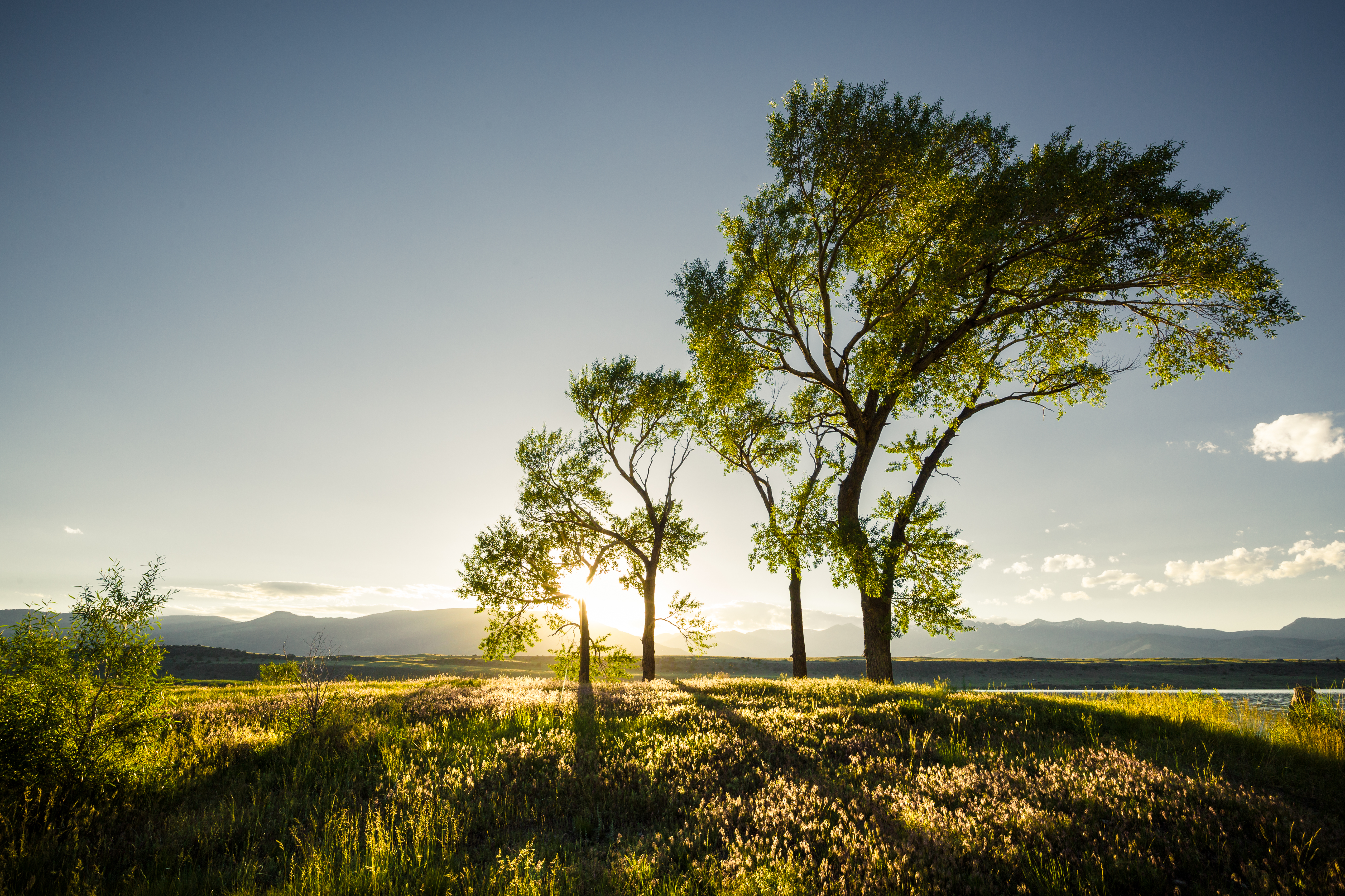
4 Trees
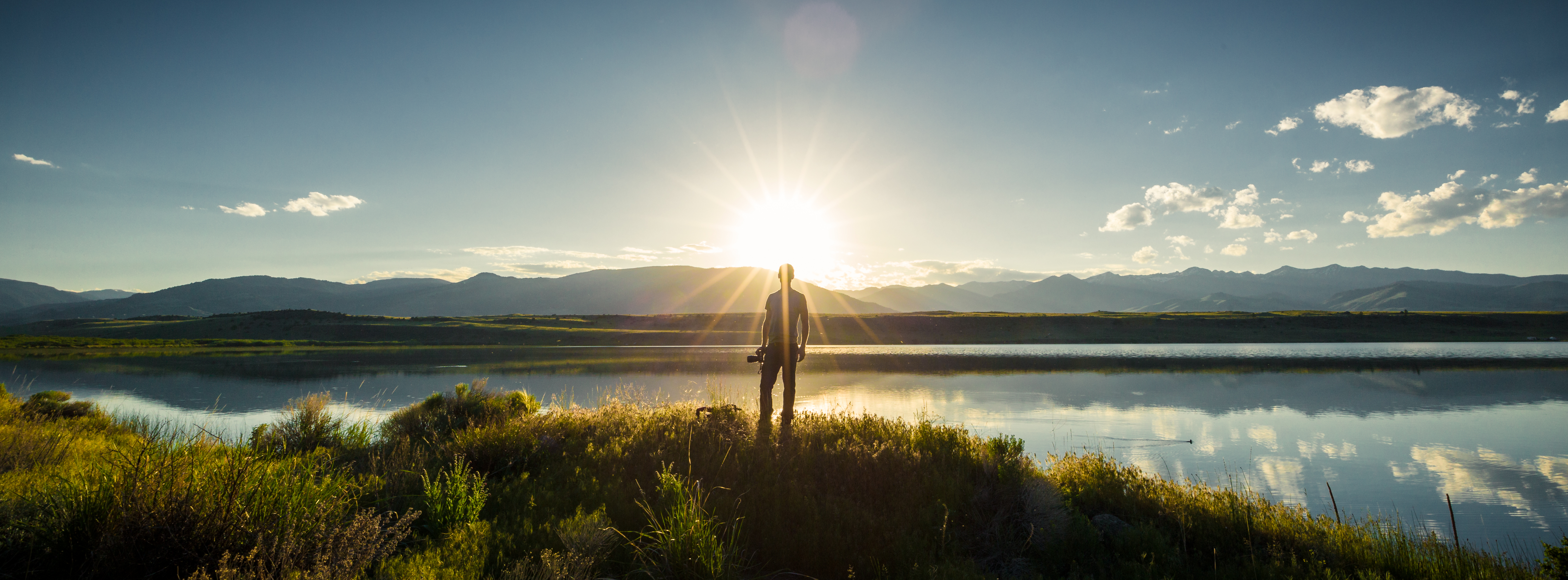
The Photographer
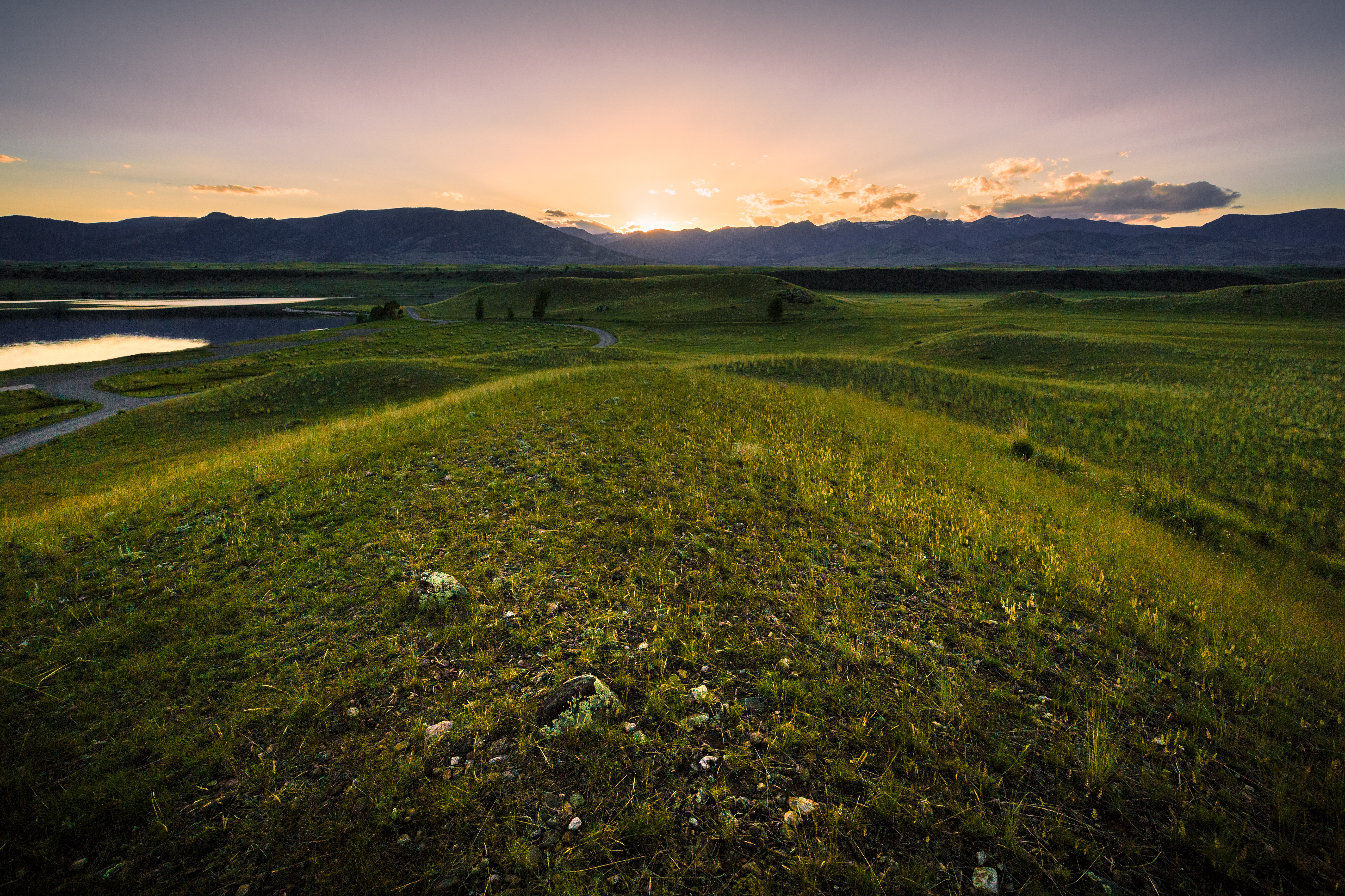
Sunset @ Sliprock looking at Absaroka Mtn Range
Sunset in Paradise
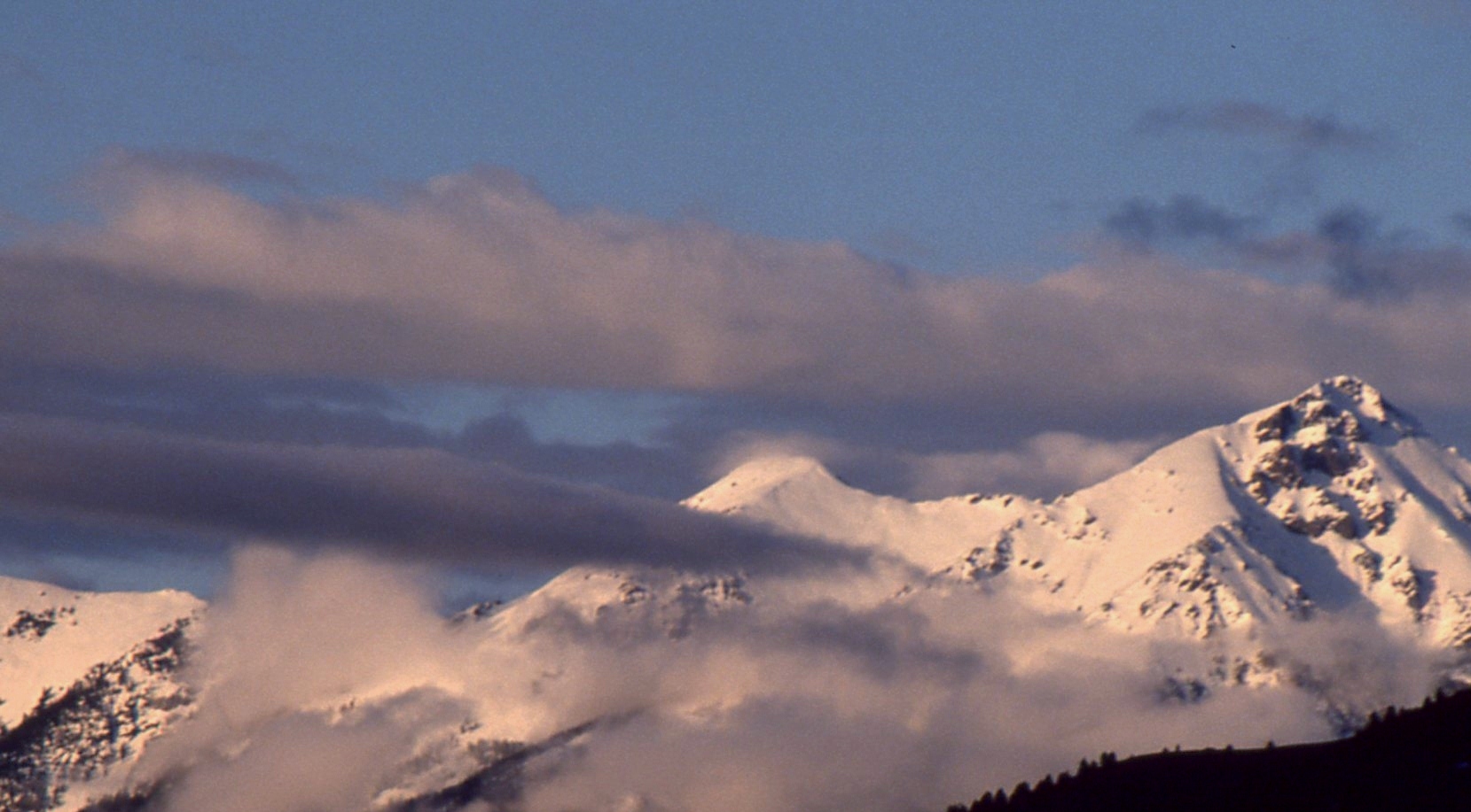
Sunset over the Gallatin Range
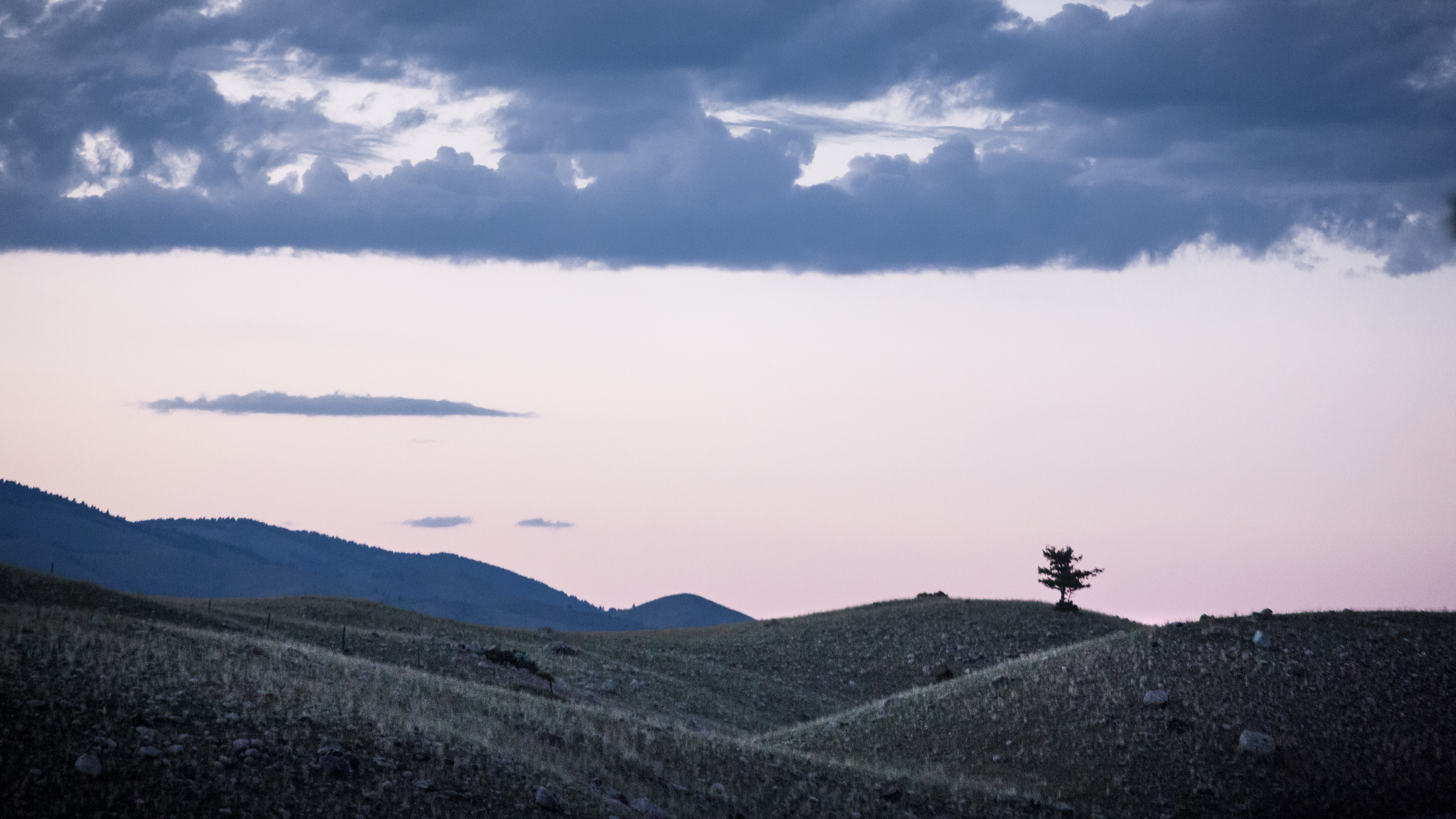
Lonely Tree
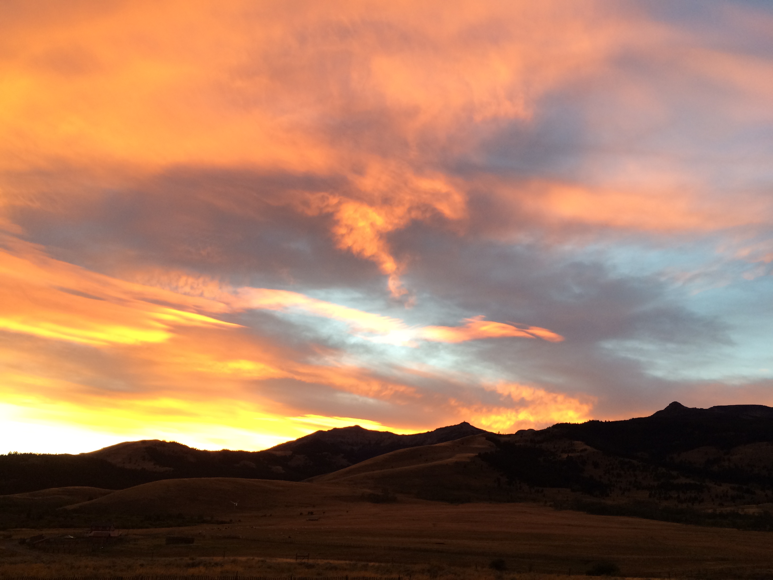
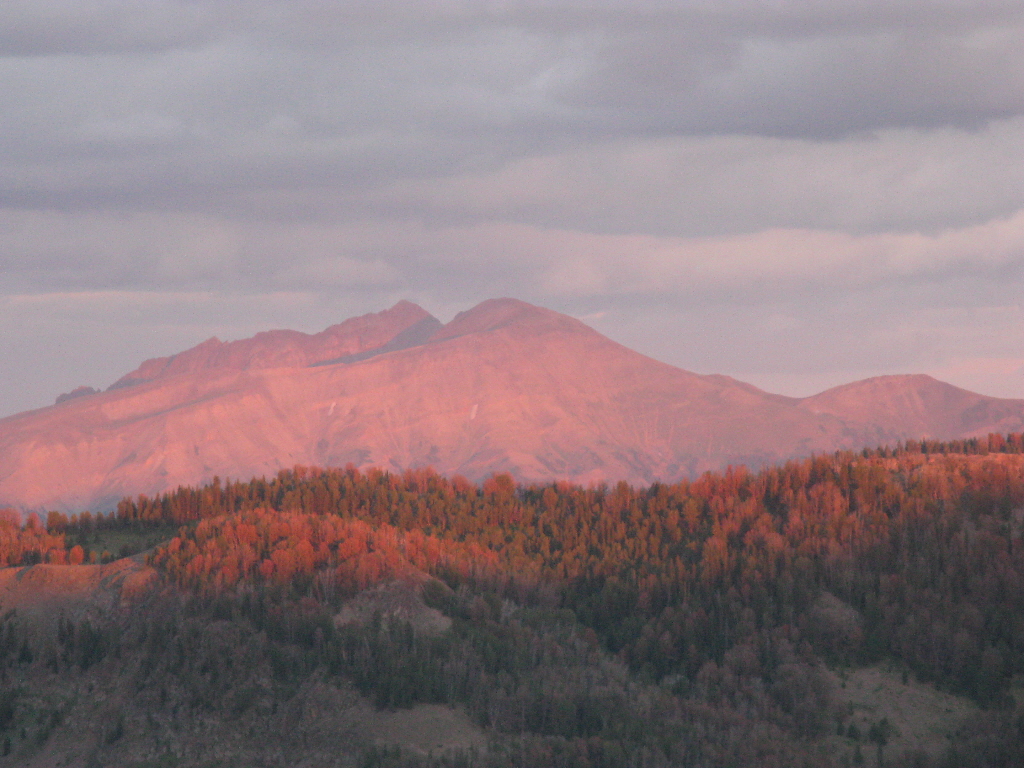
Sky Afire. Sundown in the Tom Miner Basin
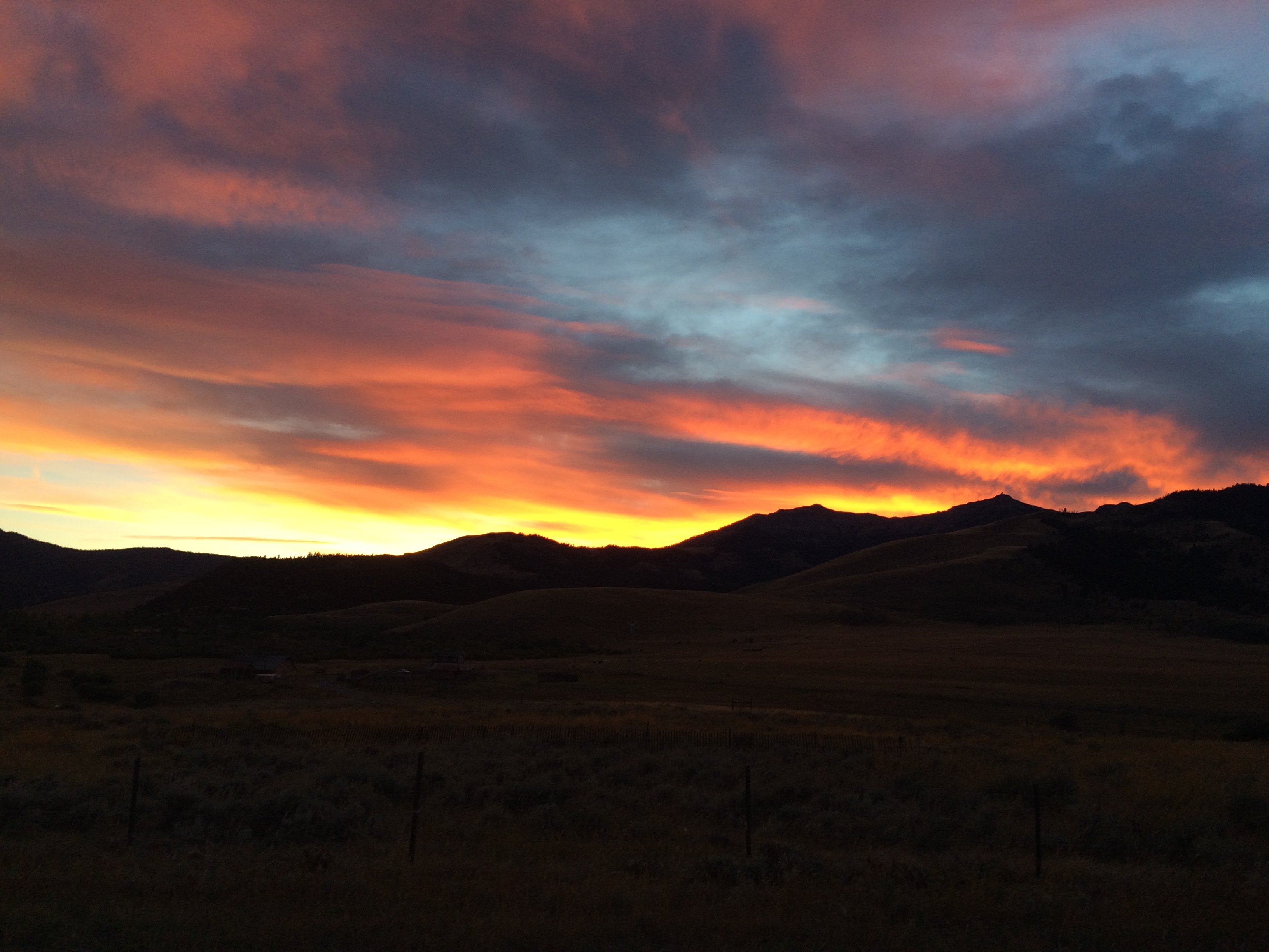
Sky Afire. Sundown in the Tom Miner Basin
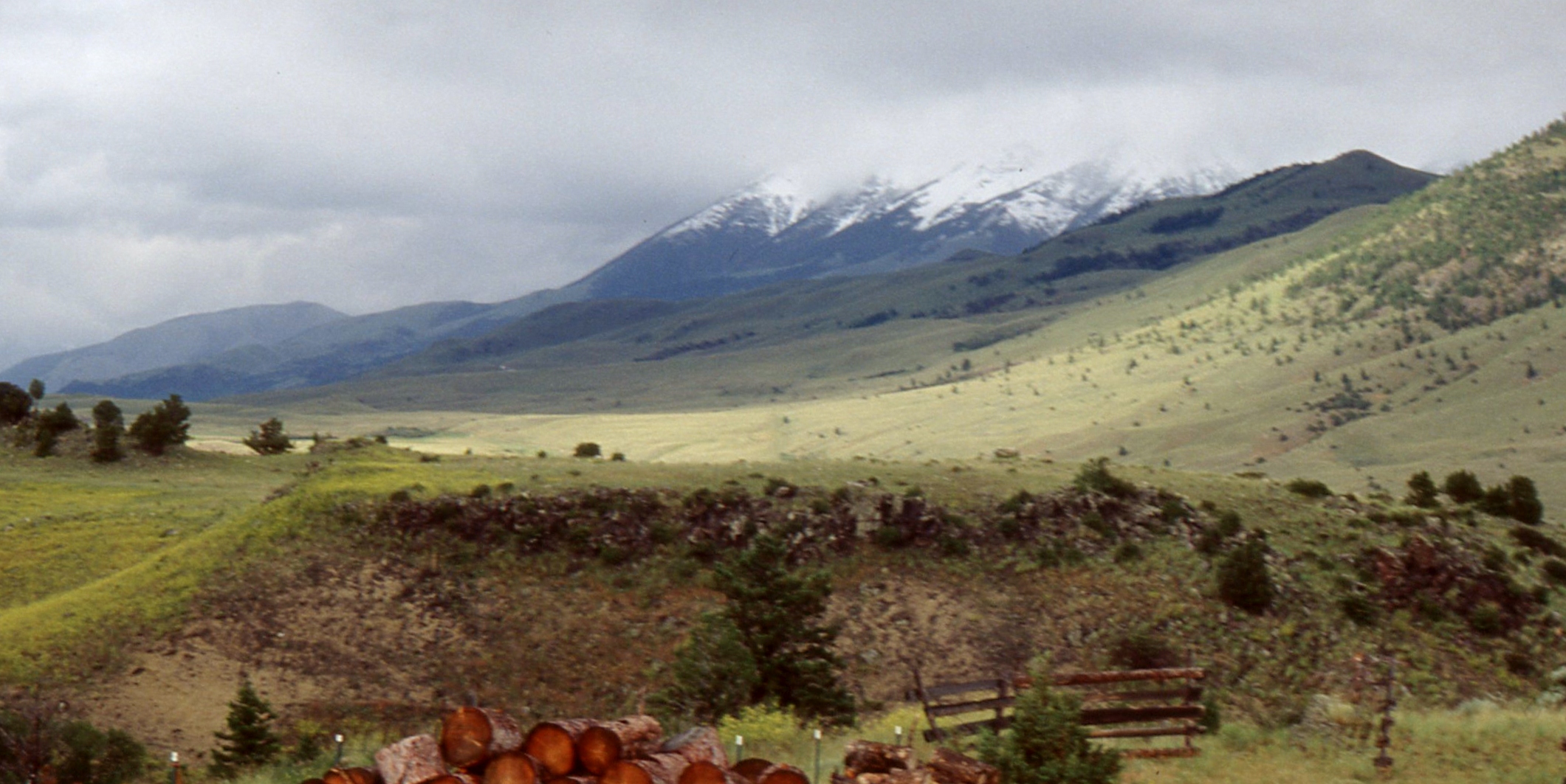
Tom Miner valley, 4th of July 2004
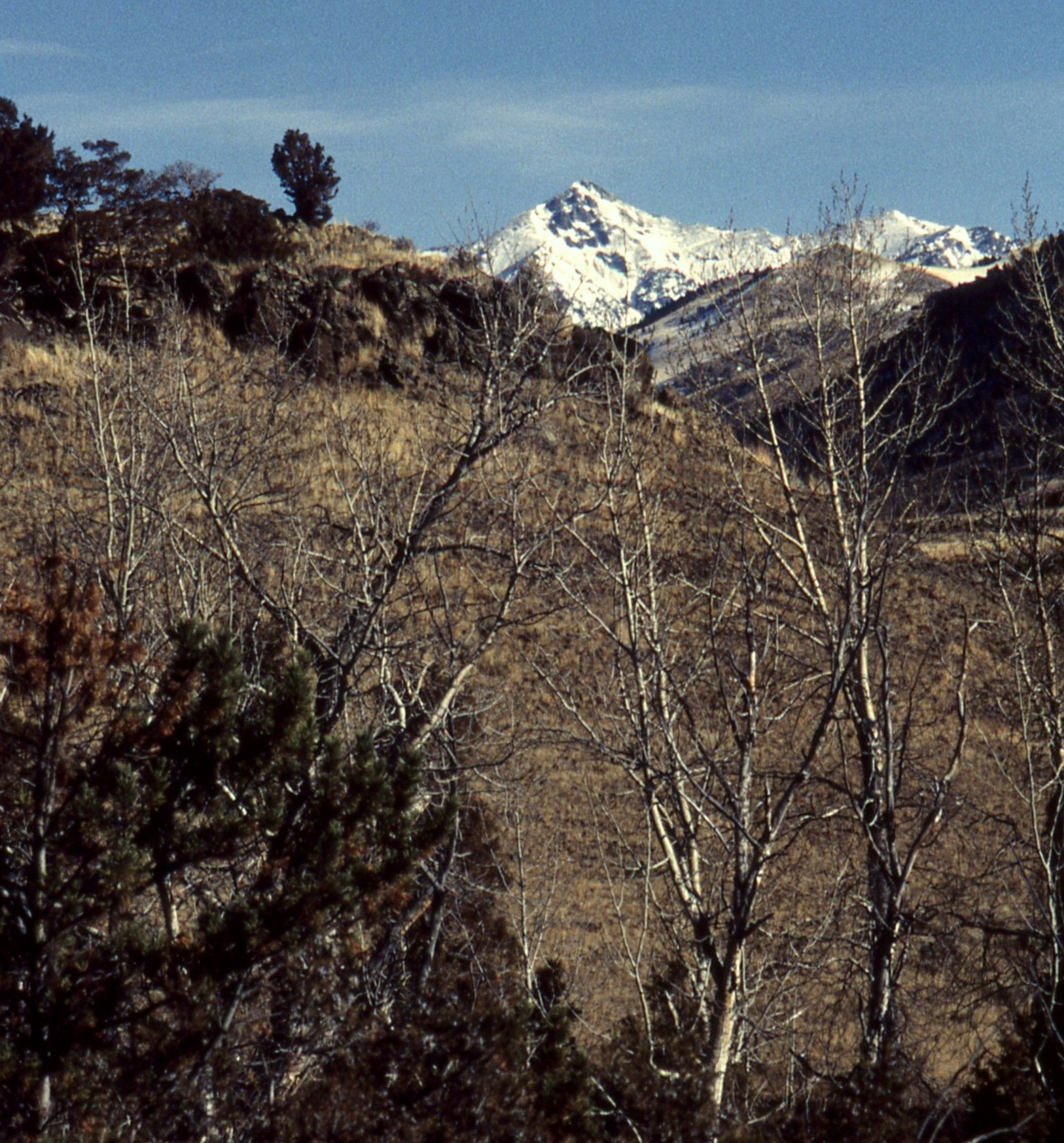
Dome Mountain from 48 Rock Creek South Road, Emigrant, MT Sliprock view
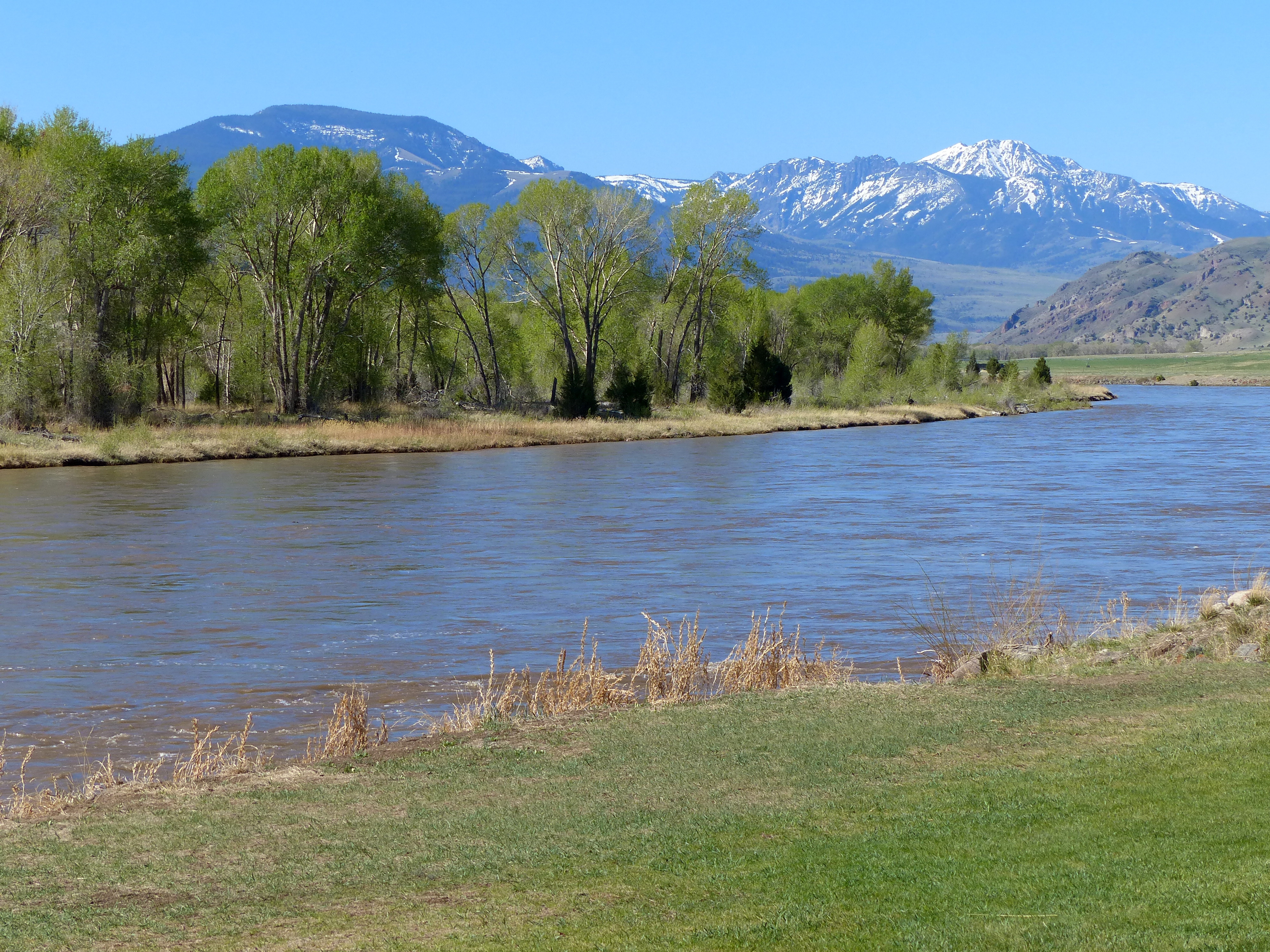
View of Paradise Valley from Sliprock

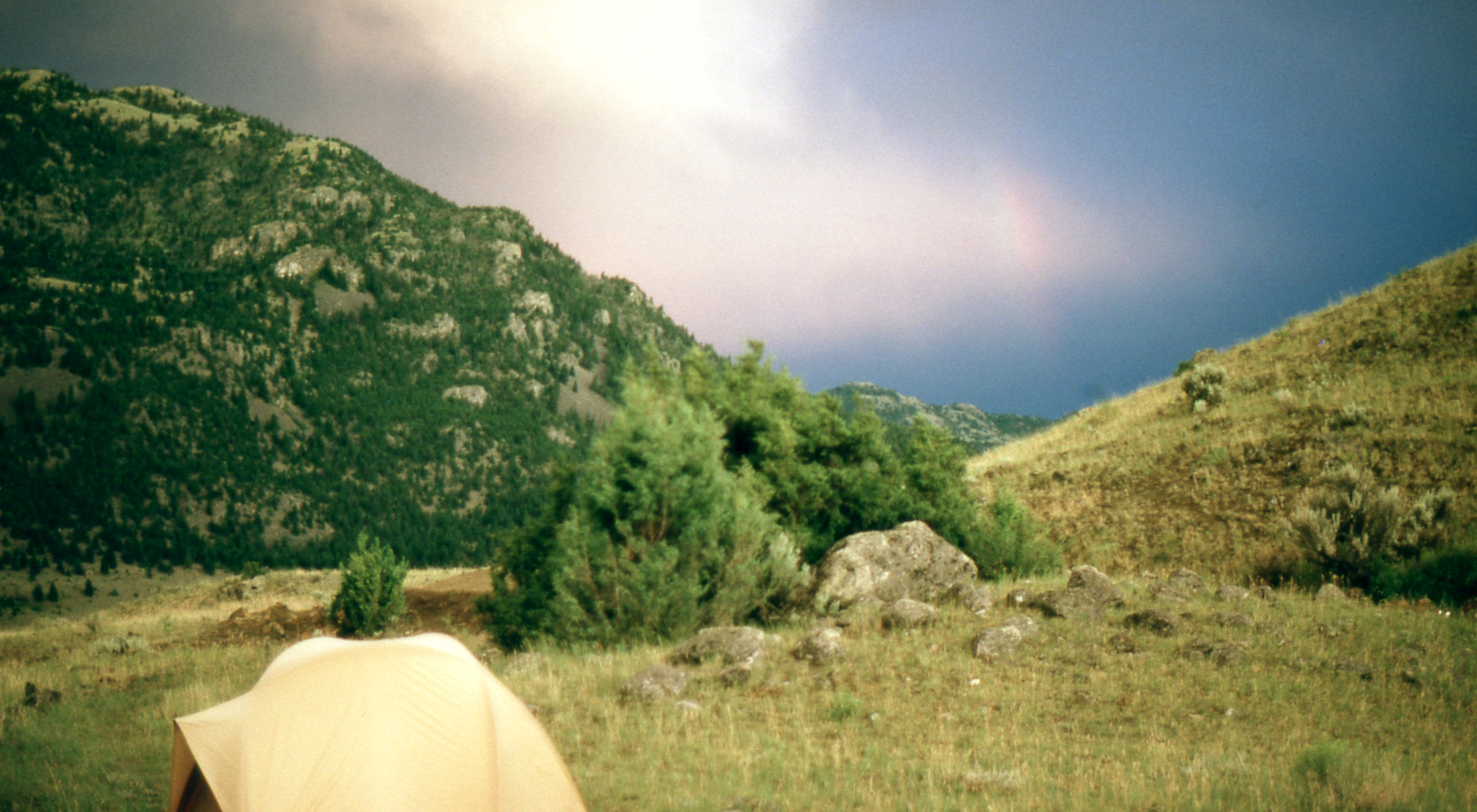
48 Rock Creek South, Emigrant, MT View Rock Creek drainage from Sliprock
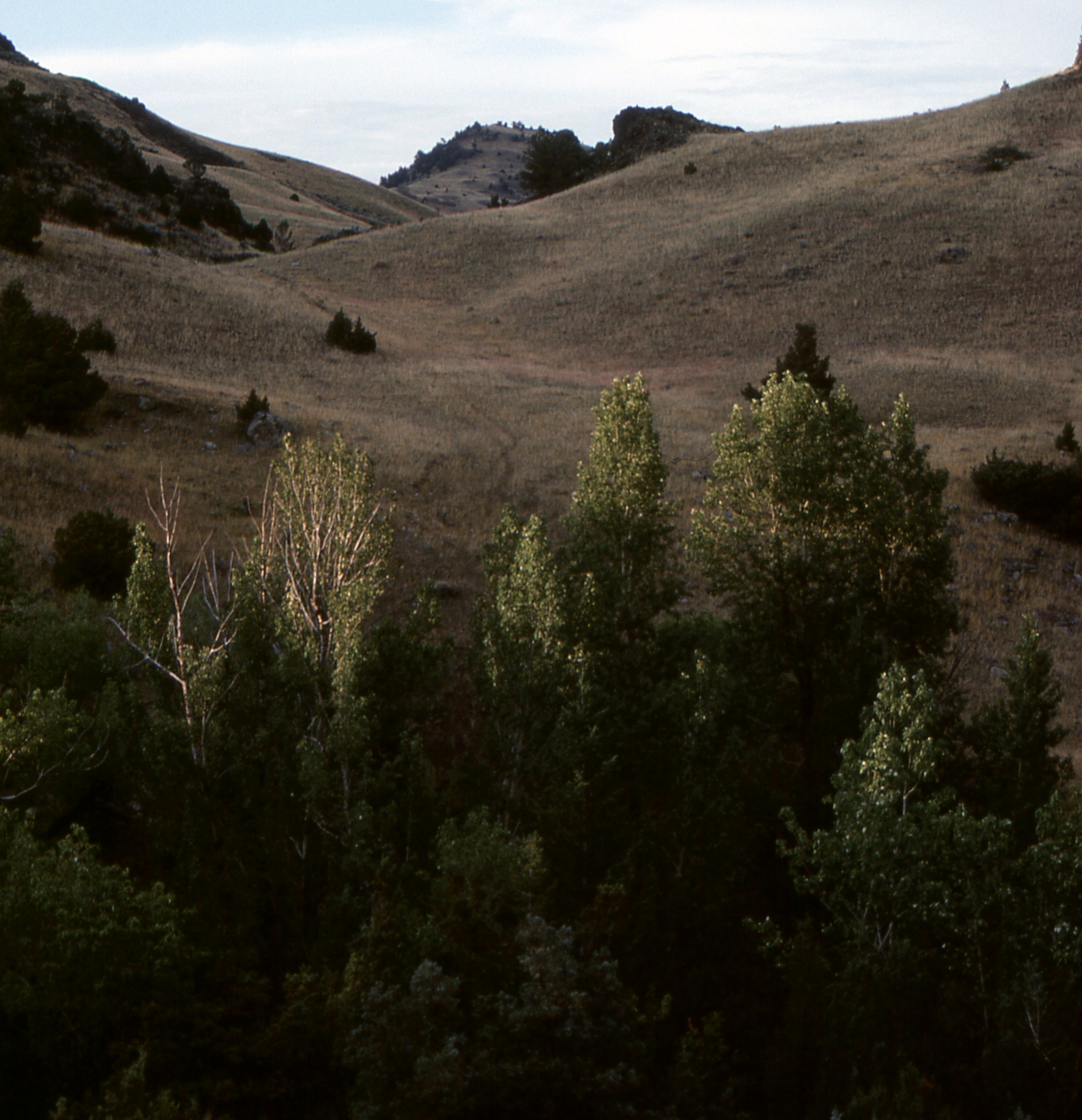
Picture 432
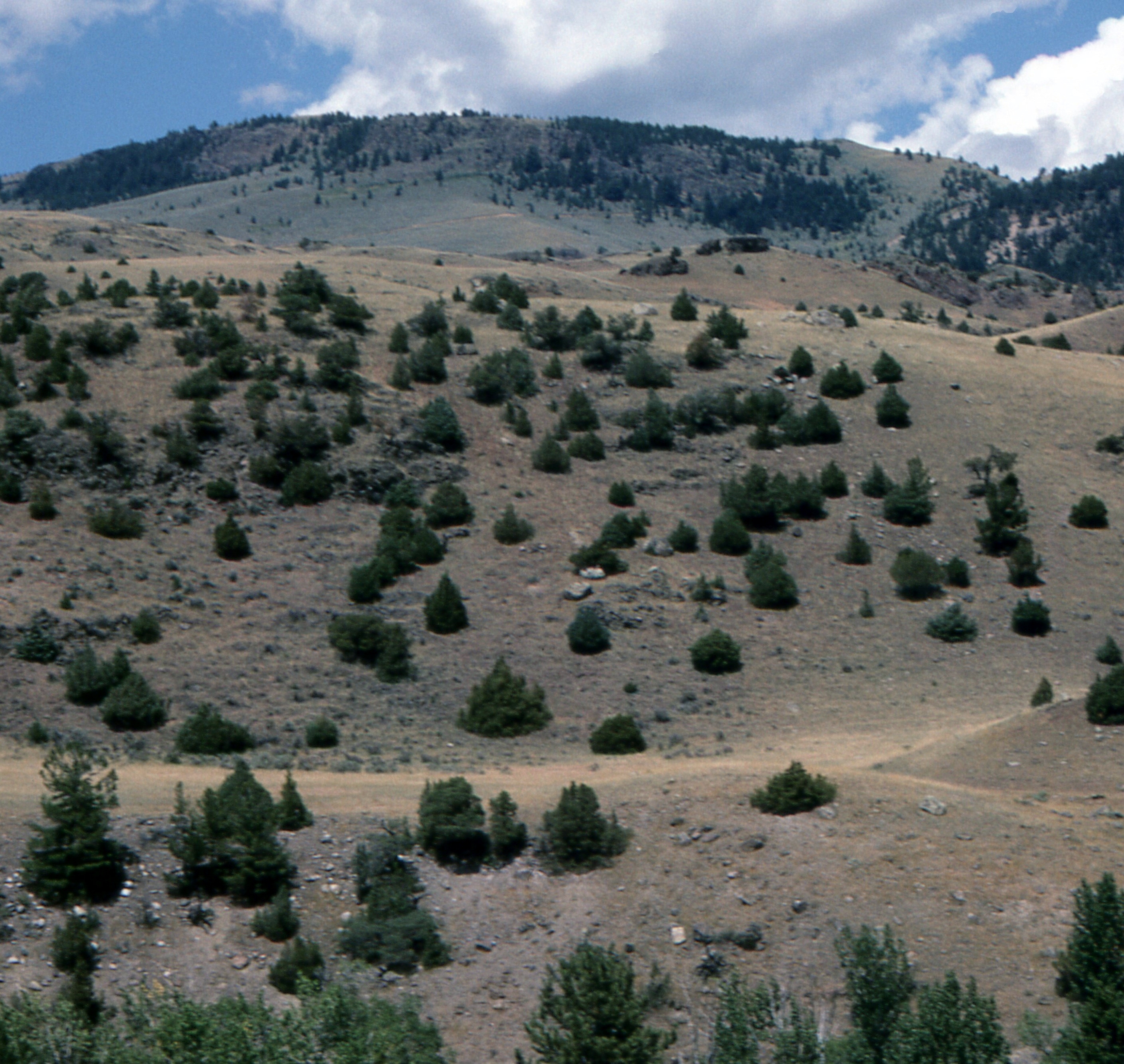
View from Sliprock
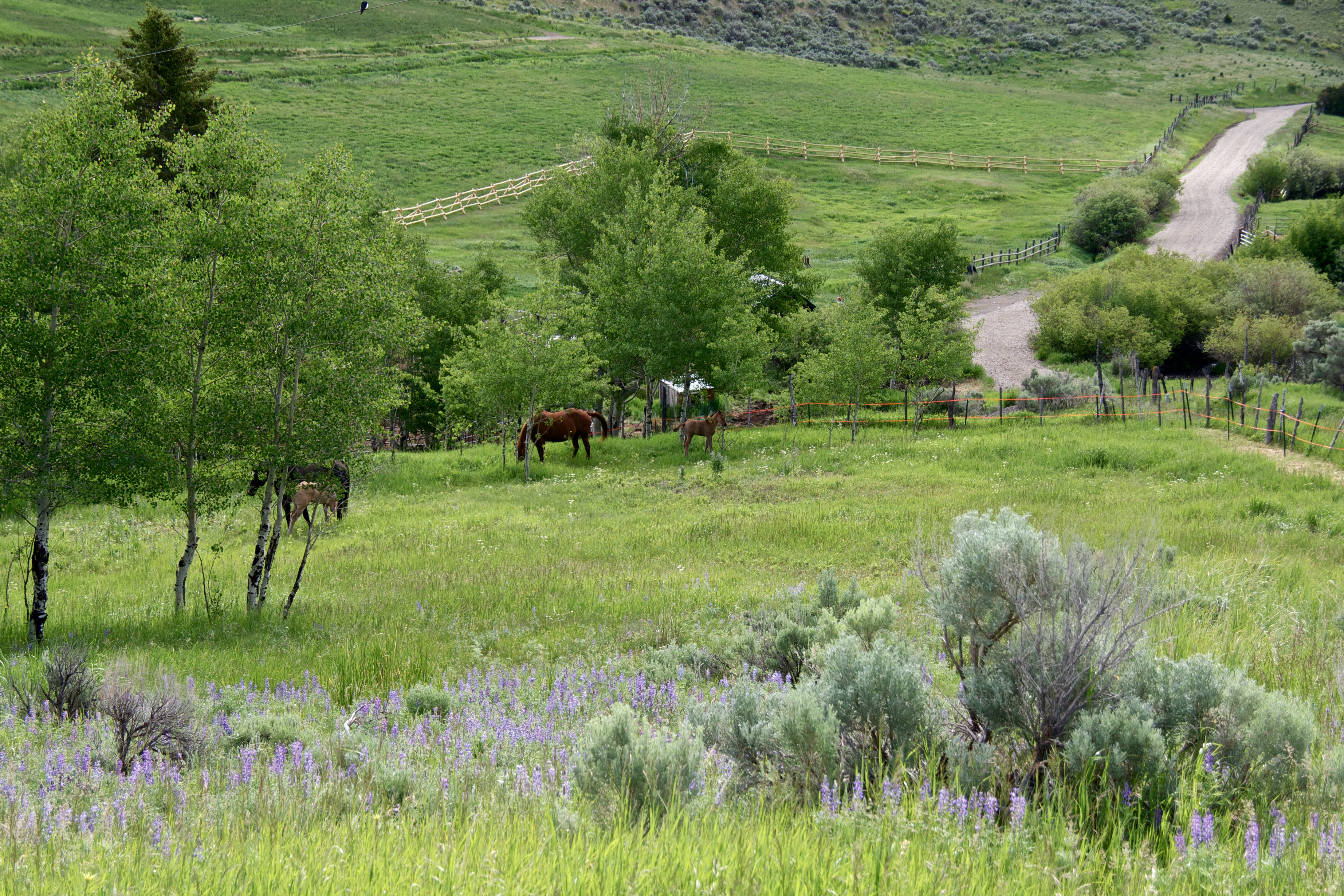
Mare and Foal pasture
48 Rock Creek South Road, Emigrant, MT, Sliprock view across Rock Creek
48 Rock Creek South Road, Emigrant, MT, Sliprock view across Rock Creek
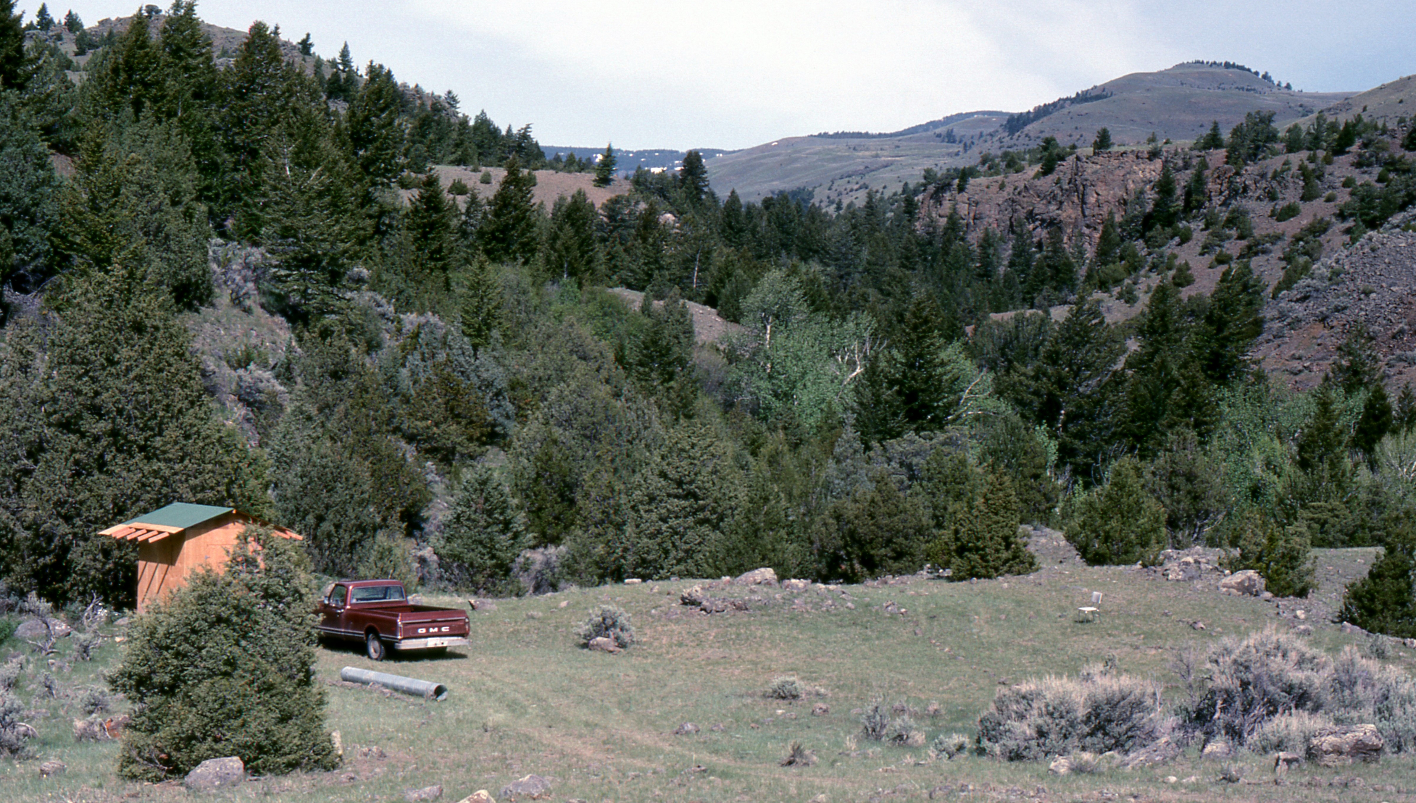
48 Rock Creek South Road, Emigrant, MT Sliprock and Rock Creek drainage view
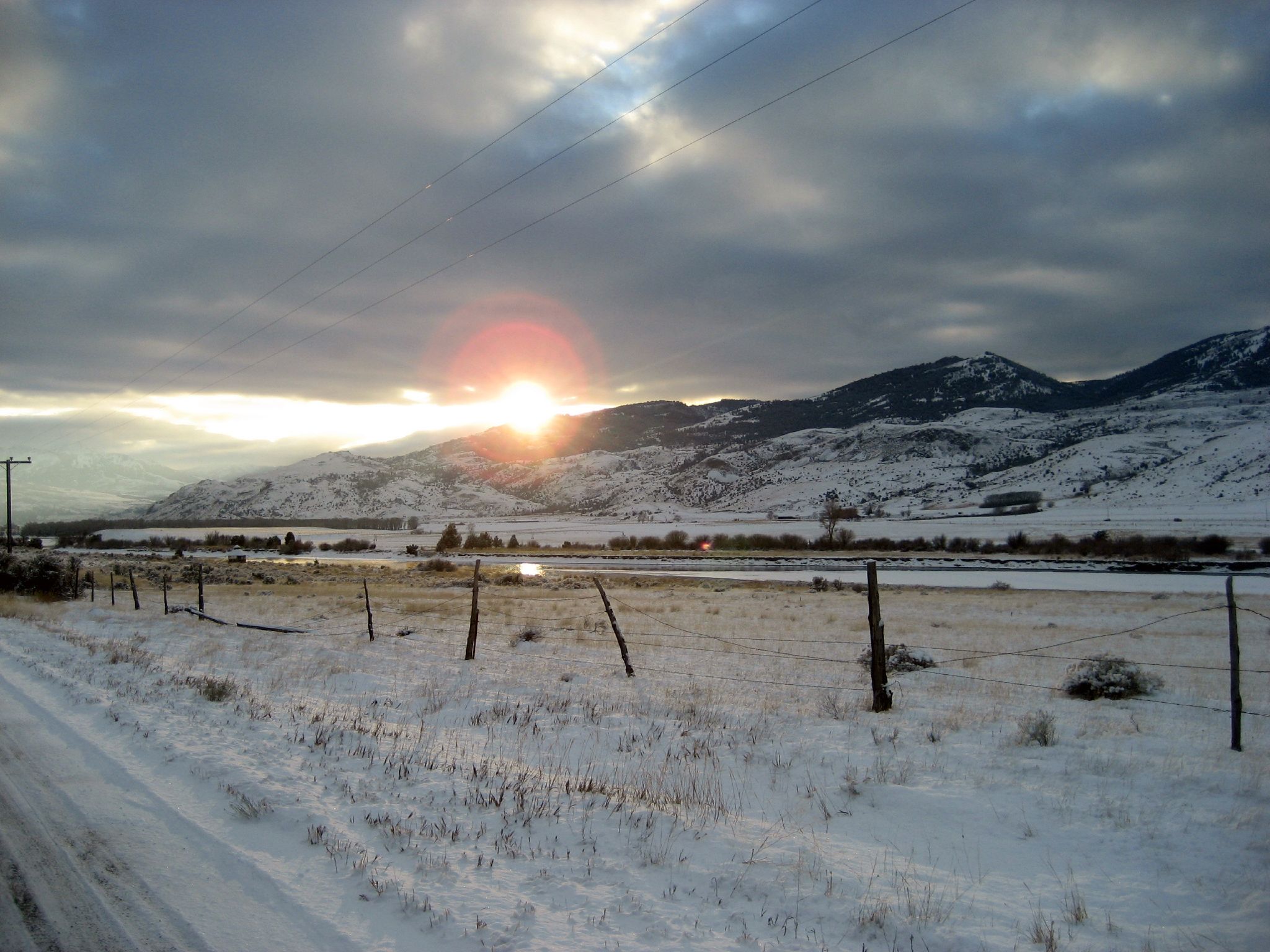
Approaching Yellowstone
Rock Creek Rd, Emigrant, MT アメリカ合衆国の地図
別の場所を検索
近所の場所
Rock Creek Rd, Emigrant, MT アメリカ合衆国
Rock Creek Rd, Emigrant, MT アメリカ合衆国
Rock Creek Rd, Emigrant, MT アメリカ合衆国
Rock Creek Rd, Emigrant, MT アメリカ合衆国
Grizzly Meadow Rd, Emigrant, MT アメリカ合衆国グリズリー・メドー・ロード
Tom Miner Creek Rd, Emigrant, MT アメリカ合衆国
Tom Miner Creek Rd, Emigrant, MT アメリカ合衆国ハバーズ・イエローストーン・ロッジ
アメリカ合衆国 〒 モンタナ州 マイナー
アメリカ合衆国 〒 モンタナ州 スフィンクス
アメリカ合衆国 〒 モンタナ州 ハイアライト・ピーク
アメリカ合衆国 〒 モンタナ州 オルドリッジ
73 Leo Dr, Emigrant, MT アメリカ合衆国
Bridger Hollow Rd, Pray, MT アメリカ合衆国
Capricorn Dr, Emigrant, MT アメリカ合衆国
アメリカ合衆国 モンタナ州 ハイアライト貯水池
アメリカ合衆国 モンタナ州 エミグラント
アメリカ合衆国 〒 モンタナ州 シープ山
11 Dance Hall Hill Rd, Emigrant, MT アメリカ合衆国
US-89, Gardiner, MT アメリカ合衆国
S Yellowstone St, Gardiner, MT アメリカ合衆国
最近の検索
- アメリカ合衆国 アラスカ州 レッド・ドッグ・マイン日の出日の入り時間
- Am bhf, Borken, ドイツアム・バーンホーフ日の出日の入り時間
- 4th St E, Sonoma, CA, USA日の出日の入り時間
- Oakland Ave, Williamsport, PA アメリカ合衆国日の出日の入り時間
- Via Roma, Pieranica CR, イタリアローマ通り日の出日の入り時間
- クロアチア 〒 ドゥブロブニク GradClock Tower of Dubrovnik日の出日の入り時間
- アルゼンチン チュブ州 トレリュー日の出日の入り時間
- Hartfords Bluff Cir, Mt Pleasant, SC アメリカ合衆国日の出日の入り時間
- 日本、熊本県熊本市北区日の出日の入り時間
- 中華人民共和国 福州市 平潭県 平潭島日の出日の入り時間