Prairie Dog Dr, Bar Nunn, WY アメリカ合衆国日の出日の入り時間
Location: アメリカ合衆国 > ワイオミング州 > ナトロナ > アメリカ合衆国 〒 ワイオミング州 アンテロープ・ヒルズ >
時間帯:
America/Denver
現地時間:
2025-06-16 18:13:00
経度:
-106.3228
緯度:
43.080839
今日の日の出時刻:
05:25:21 AM
今日の日の入時刻:
08:47:26 PM
今日の日長:
15h 22m 5s
明日の日の出時刻:
05:25:29 AM
明日の日の入時刻:
08:47:44 PM
明日の日長:
15h 22m 15s
すべて表示する
| 日付 | 日出 | 日没 | 日長 |
|---|---|---|---|
| 2025年01月01日 | 07:36:50 AM | 04:42:07 PM | 9h 5m 17s |
| 2025年01月02日 | 07:36:50 AM | 04:43:03 PM | 9h 6m 13s |
| 2025年01月03日 | 07:36:47 AM | 04:44:00 PM | 9h 7m 13s |
| 2025年01月04日 | 07:36:42 AM | 04:44:58 PM | 9h 8m 16s |
| 2025年01月05日 | 07:36:34 AM | 04:45:58 PM | 9h 9m 24s |
| 2025年01月06日 | 07:36:24 AM | 04:47:00 PM | 9h 10m 36s |
| 2025年01月07日 | 07:36:12 AM | 04:48:03 PM | 9h 11m 51s |
| 2025年01月08日 | 07:35:57 AM | 04:49:08 PM | 9h 13m 11s |
| 2025年01月09日 | 07:35:40 AM | 04:50:13 PM | 9h 14m 33s |
| 2025年01月10日 | 07:35:20 AM | 04:51:20 PM | 9h 16m 0s |
| 2025年01月11日 | 07:34:58 AM | 04:52:28 PM | 9h 17m 30s |
| 2025年01月12日 | 07:34:33 AM | 04:53:38 PM | 9h 19m 5s |
| 2025年01月13日 | 07:34:07 AM | 04:54:48 PM | 9h 20m 41s |
| 2025年01月14日 | 07:33:38 AM | 04:55:59 PM | 9h 22m 21s |
| 2025年01月15日 | 07:33:06 AM | 04:57:12 PM | 9h 24m 6s |
| 2025年01月16日 | 07:32:32 AM | 04:58:25 PM | 9h 25m 53s |
| 2025年01月17日 | 07:31:57 AM | 04:59:39 PM | 9h 27m 42s |
| 2025年01月18日 | 07:31:18 AM | 05:00:54 PM | 9h 29m 36s |
| 2025年01月19日 | 07:30:38 AM | 05:02:09 PM | 9h 31m 31s |
| 2025年01月20日 | 07:29:55 AM | 05:03:25 PM | 9h 33m 30s |
| 2025年01月21日 | 07:29:11 AM | 05:04:42 PM | 9h 35m 31s |
| 2025年01月22日 | 07:28:24 AM | 05:05:59 PM | 9h 37m 35s |
| 2025年01月23日 | 07:27:35 AM | 05:07:17 PM | 9h 39m 42s |
| 2025年01月24日 | 07:26:44 AM | 05:08:35 PM | 9h 41m 51s |
| 2025年01月25日 | 07:25:51 AM | 05:09:54 PM | 9h 44m 3s |
| 2025年01月26日 | 07:24:57 AM | 05:11:13 PM | 9h 46m 16s |
| 2025年01月27日 | 07:24:00 AM | 05:12:32 PM | 9h 48m 32s |
| 2025年01月28日 | 07:23:01 AM | 05:13:52 PM | 9h 50m 51s |
| 2025年01月29日 | 07:22:01 AM | 05:15:11 PM | 9h 53m 10s |
| 2025年01月30日 | 07:20:58 AM | 05:16:32 PM | 9h 55m 34s |
| 2025年01月31日 | 07:19:54 AM | 05:17:52 PM | 9h 57m 58s |
| 2025年02月01日 | 07:18:48 AM | 05:19:12 PM | 10h 0m 24s |
| 2025年02月02日 | 07:17:41 AM | 05:20:32 PM | 10h 2m 51s |
| 2025年02月03日 | 07:16:31 AM | 05:21:53 PM | 10h 5m 22s |
| 2025年02月04日 | 07:15:21 AM | 05:23:13 PM | 10h 7m 52s |
| 2025年02月05日 | 07:14:08 AM | 05:24:33 PM | 10h 10m 25s |
| 2025年02月06日 | 07:12:54 AM | 05:25:54 PM | 10h 13m 0s |
| 2025年02月07日 | 07:11:38 AM | 05:27:14 PM | 10h 15m 36s |
| 2025年02月08日 | 07:10:21 AM | 05:28:34 PM | 10h 18m 13s |
| 2025年02月09日 | 07:09:03 AM | 05:29:54 PM | 10h 20m 51s |
| 2025年02月10日 | 07:07:43 AM | 05:31:14 PM | 10h 23m 31s |
| 2025年02月11日 | 07:06:22 AM | 05:32:34 PM | 10h 26m 12s |
| 2025年02月12日 | 07:04:59 AM | 05:33:54 PM | 10h 28m 55s |
| 2025年02月13日 | 07:03:36 AM | 05:35:13 PM | 10h 31m 37s |
| 2025年02月14日 | 07:02:10 AM | 05:36:32 PM | 10h 34m 22s |
| 2025年02月15日 | 07:00:44 AM | 05:37:51 PM | 10h 37m 7s |
| 2025年02月16日 | 06:59:17 AM | 05:39:10 PM | 10h 39m 53s |
| 2025年02月17日 | 06:57:48 AM | 05:40:28 PM | 10h 42m 40s |
| 2025年02月18日 | 06:56:18 AM | 05:41:47 PM | 10h 45m 29s |
| 2025年02月19日 | 06:54:48 AM | 05:43:05 PM | 10h 48m 17s |
| 2025年02月20日 | 06:53:16 AM | 05:44:22 PM | 10h 51m 6s |
| 2025年02月21日 | 06:51:43 AM | 05:45:40 PM | 10h 53m 57s |
| 2025年02月22日 | 06:50:10 AM | 05:46:57 PM | 10h 56m 47s |
| 2025年02月23日 | 06:48:35 AM | 05:48:14 PM | 10h 59m 39s |
| 2025年02月24日 | 06:46:59 AM | 05:49:30 PM | 11h 2m 31s |
| 2025年02月25日 | 06:45:23 AM | 05:50:47 PM | 11h 5m 24s |
| 2025年02月26日 | 06:43:46 AM | 05:52:03 PM | 11h 8m 17s |
| 2025年02月27日 | 06:42:08 AM | 05:53:18 PM | 11h 11m 10s |
| 2025年02月28日 | 06:40:29 AM | 05:54:34 PM | 11h 14m 5s |
| 2025年03月01日 | 06:38:50 AM | 05:55:49 PM | 11h 16m 59s |
| 2025年03月02日 | 06:37:10 AM | 05:57:04 PM | 11h 19m 54s |
| 2025年03月03日 | 06:35:29 AM | 05:58:18 PM | 11h 22m 49s |
| 2025年03月04日 | 06:33:48 AM | 05:59:32 PM | 11h 25m 44s |
| 2025年03月05日 | 06:32:06 AM | 06:00:46 PM | 11h 28m 40s |
| 2025年03月06日 | 06:30:24 AM | 06:02:00 PM | 11h 31m 36s |
| 2025年03月07日 | 06:28:41 AM | 06:03:14 PM | 11h 34m 33s |
| 2025年03月08日 | 06:26:58 AM | 06:04:27 PM | 11h 37m 29s |
| 2025年03月09日 | 07:25:18 AM | 07:05:37 PM | 11h 40m 19s |
| 2025年03月10日 | 07:23:34 AM | 07:06:50 PM | 11h 43m 16s |
| 2025年03月11日 | 07:21:50 AM | 07:08:02 PM | 11h 46m 12s |
| 2025年03月12日 | 07:20:05 AM | 07:09:14 PM | 11h 49m 9s |
| 2025年03月13日 | 07:18:19 AM | 07:10:26 PM | 11h 52m 7s |
| 2025年03月14日 | 07:16:34 AM | 07:11:38 PM | 11h 55m 4s |
| 2025年03月15日 | 07:14:48 AM | 07:12:50 PM | 11h 58m 2s |
| 2025年03月16日 | 07:13:02 AM | 07:14:02 PM | 12h 1m 0s |
| 2025年03月17日 | 07:11:16 AM | 07:15:13 PM | 12h 3m 57s |
| 2025年03月18日 | 07:09:30 AM | 07:16:24 PM | 12h 6m 54s |
| 2025年03月19日 | 07:07:43 AM | 07:17:35 PM | 12h 9m 52s |
| 2025年03月20日 | 07:05:57 AM | 07:18:46 PM | 12h 12m 49s |
| 2025年03月21日 | 07:04:10 AM | 07:19:57 PM | 12h 15m 47s |
| 2025年03月22日 | 07:02:24 AM | 07:21:07 PM | 12h 18m 43s |
| 2025年03月23日 | 07:00:37 AM | 07:22:18 PM | 12h 21m 41s |
| 2025年03月24日 | 06:58:51 AM | 07:23:28 PM | 12h 24m 37s |
| 2025年03月25日 | 06:57:04 AM | 07:24:38 PM | 12h 27m 34s |
| 2025年03月26日 | 06:55:18 AM | 07:25:48 PM | 12h 30m 30s |
| 2025年03月27日 | 06:53:32 AM | 07:26:59 PM | 12h 33m 27s |
| 2025年03月28日 | 06:51:45 AM | 07:28:09 PM | 12h 36m 24s |
| 2025年03月29日 | 06:49:59 AM | 07:29:19 PM | 12h 39m 20s |
| 2025年03月30日 | 06:48:14 AM | 07:30:28 PM | 12h 42m 14s |
| 2025年03月31日 | 06:46:28 AM | 07:31:38 PM | 12h 45m 10s |
| 2025年04月01日 | 06:44:43 AM | 07:32:48 PM | 12h 48m 5s |
| 2025年04月02日 | 06:42:58 AM | 07:33:58 PM | 12h 51m 0s |
| 2025年04月03日 | 06:41:14 AM | 07:35:08 PM | 12h 53m 54s |
| 2025年04月04日 | 06:39:29 AM | 07:36:18 PM | 12h 56m 49s |
| 2025年04月05日 | 06:37:46 AM | 07:37:27 PM | 12h 59m 41s |
| 2025年04月06日 | 06:36:02 AM | 07:38:37 PM | 13h 2m 35s |
| 2025年04月07日 | 06:34:19 AM | 07:39:47 PM | 13h 5m 28s |
| 2025年04月08日 | 06:32:37 AM | 07:40:57 PM | 13h 8m 20s |
| 2025年04月09日 | 06:30:55 AM | 07:42:06 PM | 13h 11m 11s |
| 2025年04月10日 | 06:29:14 AM | 07:43:16 PM | 13h 14m 2s |
| 2025年04月11日 | 06:27:33 AM | 07:44:26 PM | 13h 16m 53s |
| 2025年04月12日 | 06:25:53 AM | 07:45:35 PM | 13h 19m 42s |
| 2025年04月13日 | 06:24:14 AM | 07:46:45 PM | 13h 22m 31s |
| 2025年04月14日 | 06:22:35 AM | 07:47:55 PM | 13h 25m 20s |
| 2025年04月15日 | 06:20:57 AM | 07:49:05 PM | 13h 28m 8s |
| 2025年04月16日 | 06:19:20 AM | 07:50:15 PM | 13h 30m 55s |
| 2025年04月17日 | 06:17:43 AM | 07:51:24 PM | 13h 33m 41s |
| 2025年04月18日 | 06:16:07 AM | 07:52:34 PM | 13h 36m 27s |
| 2025年04月19日 | 06:14:33 AM | 07:53:44 PM | 13h 39m 11s |
| 2025年04月20日 | 06:12:59 AM | 07:54:53 PM | 13h 41m 54s |
| 2025年04月21日 | 06:11:26 AM | 07:56:03 PM | 13h 44m 37s |
| 2025年04月22日 | 06:09:54 AM | 07:57:13 PM | 13h 47m 19s |
| 2025年04月23日 | 06:08:23 AM | 07:58:22 PM | 13h 49m 59s |
| 2025年04月24日 | 06:06:52 AM | 07:59:32 PM | 13h 52m 40s |
| 2025年04月25日 | 06:05:23 AM | 08:00:41 PM | 13h 55m 18s |
| 2025年04月26日 | 06:03:56 AM | 08:01:51 PM | 13h 57m 55s |
| 2025年04月27日 | 06:02:29 AM | 08:03:00 PM | 14h 0m 31s |
| 2025年04月28日 | 06:01:03 AM | 08:04:09 PM | 14h 3m 6s |
| 2025年04月29日 | 05:59:39 AM | 08:05:18 PM | 14h 5m 39s |
| 2025年04月30日 | 05:58:15 AM | 08:06:27 PM | 14h 8m 12s |
| 2025年05月01日 | 05:56:53 AM | 08:07:36 PM | 14h 10m 43s |
| 2025年05月02日 | 05:55:33 AM | 08:08:44 PM | 14h 13m 11s |
| 2025年05月03日 | 05:54:13 AM | 08:09:52 PM | 14h 15m 39s |
| 2025年05月04日 | 05:52:55 AM | 08:11:00 PM | 14h 18m 5s |
| 2025年05月05日 | 05:51:39 AM | 08:12:08 PM | 14h 20m 29s |
| 2025年05月06日 | 05:50:24 AM | 08:13:16 PM | 14h 22m 52s |
| 2025年05月07日 | 05:49:10 AM | 08:14:23 PM | 14h 25m 13s |
| 2025年05月08日 | 05:47:58 AM | 08:15:29 PM | 14h 27m 31s |
| 2025年05月09日 | 05:46:47 AM | 08:16:36 PM | 14h 29m 49s |
| 2025年05月10日 | 05:45:38 AM | 08:17:42 PM | 14h 32m 4s |
| 2025年05月11日 | 05:44:30 AM | 08:18:47 PM | 14h 34m 17s |
| 2025年05月12日 | 05:43:24 AM | 08:19:52 PM | 14h 36m 28s |
| 2025年05月13日 | 05:42:20 AM | 08:20:57 PM | 14h 38m 37s |
| 2025年05月14日 | 05:41:18 AM | 08:22:01 PM | 14h 40m 43s |
| 2025年05月15日 | 05:40:17 AM | 08:23:04 PM | 14h 42m 47s |
| 2025年05月16日 | 05:39:18 AM | 08:24:07 PM | 14h 44m 49s |
| 2025年05月17日 | 05:38:20 AM | 08:25:09 PM | 14h 46m 49s |
| 2025年05月18日 | 05:37:25 AM | 08:26:10 PM | 14h 48m 45s |
| 2025年05月19日 | 05:36:31 AM | 08:27:11 PM | 14h 50m 40s |
| 2025年05月20日 | 05:35:40 AM | 08:28:11 PM | 14h 52m 31s |
| 2025年05月21日 | 05:34:50 AM | 08:29:09 PM | 14h 54m 19s |
| 2025年05月22日 | 05:34:02 AM | 08:30:08 PM | 14h 56m 6s |
| 2025年05月23日 | 05:33:16 AM | 08:31:05 PM | 14h 57m 49s |
| 2025年05月24日 | 05:32:32 AM | 08:32:01 PM | 14h 59m 29s |
| 2025年05月25日 | 05:31:50 AM | 08:32:56 PM | 15h 1m 6s |
| 2025年05月26日 | 05:31:10 AM | 08:33:50 PM | 15h 2m 40s |
| 2025年05月27日 | 05:30:32 AM | 08:34:43 PM | 15h 4m 11s |
| 2025年05月28日 | 05:29:56 AM | 08:35:35 PM | 15h 5m 39s |
| 2025年05月29日 | 05:29:22 AM | 08:36:25 PM | 15h 7m 3s |
| 2025年05月30日 | 05:28:50 AM | 08:37:15 PM | 15h 8m 25s |
| 2025年05月31日 | 05:28:20 AM | 08:38:03 PM | 15h 9m 43s |
| 2025年06月01日 | 05:27:53 AM | 08:38:49 PM | 15h 10m 56s |
| 2025年06月02日 | 05:27:27 AM | 08:39:35 PM | 15h 12m 8s |
| 2025年06月03日 | 05:27:04 AM | 08:40:18 PM | 15h 13m 14s |
| 2025年06月04日 | 05:26:43 AM | 08:41:01 PM | 15h 14m 18s |
| 2025年06月05日 | 05:26:24 AM | 08:41:42 PM | 15h 15m 18s |
| 2025年06月06日 | 05:26:07 AM | 08:42:21 PM | 15h 16m 14s |
| 2025年06月07日 | 05:25:53 AM | 08:42:58 PM | 15h 17m 5s |
| 2025年06月08日 | 05:25:40 AM | 08:43:34 PM | 15h 17m 54s |
| 2025年06月09日 | 05:25:30 AM | 08:44:09 PM | 15h 18m 39s |
| 2025年06月10日 | 05:25:22 AM | 08:44:41 PM | 15h 19m 19s |
| 2025年06月11日 | 05:25:16 AM | 08:45:12 PM | 15h 19m 56s |
| 2025年06月12日 | 05:25:12 AM | 08:45:41 PM | 15h 20m 29s |
| 2025年06月13日 | 05:25:11 AM | 08:46:08 PM | 15h 20m 57s |
| 2025年06月14日 | 05:25:11 AM | 08:46:33 PM | 15h 21m 22s |
| 2025年06月15日 | 05:25:14 AM | 08:46:56 PM | 15h 21m 42s |
| 2025年06月16日 | 05:25:18 AM | 08:47:18 PM | 15h 22m 0s |
| 2025年06月17日 | 05:25:25 AM | 08:47:37 PM | 15h 22m 12s |
| 2025年06月18日 | 05:25:34 AM | 08:47:54 PM | 15h 22m 20s |
| 2025年06月19日 | 05:25:45 AM | 08:48:10 PM | 15h 22m 25s |
| 2025年06月20日 | 05:25:58 AM | 08:48:23 PM | 15h 22m 25s |
| 2025年06月21日 | 05:26:13 AM | 08:48:34 PM | 15h 22m 21s |
| 2025年06月22日 | 05:26:30 AM | 08:48:43 PM | 15h 22m 13s |
| 2025年06月23日 | 05:26:49 AM | 08:48:50 PM | 15h 22m 1s |
| 2025年06月24日 | 05:27:09 AM | 08:48:54 PM | 15h 21m 45s |
| 2025年06月25日 | 05:27:32 AM | 08:48:57 PM | 15h 21m 25s |
| 2025年06月26日 | 05:27:57 AM | 08:48:57 PM | 15h 21m 0s |
| 2025年06月27日 | 05:28:23 AM | 08:48:55 PM | 15h 20m 32s |
| 2025年06月28日 | 05:28:51 AM | 08:48:51 PM | 15h 20m 0s |
| 2025年06月29日 | 05:29:21 AM | 08:48:45 PM | 15h 19m 24s |
| 2025年06月30日 | 05:29:53 AM | 08:48:37 PM | 15h 18m 44s |
| 2025年07月01日 | 05:30:26 AM | 08:48:26 PM | 15h 18m 0s |
| 2025年07月02日 | 05:31:01 AM | 08:48:13 PM | 15h 17m 12s |
| 2025年07月03日 | 05:31:38 AM | 08:47:58 PM | 15h 16m 20s |
| 2025年07月04日 | 05:32:16 AM | 08:47:41 PM | 15h 15m 25s |
| 2025年07月05日 | 05:32:55 AM | 08:47:21 PM | 15h 14m 26s |
| 2025年07月06日 | 05:33:36 AM | 08:47:00 PM | 15h 13m 24s |
| 2025年07月07日 | 05:34:19 AM | 08:46:36 PM | 15h 12m 17s |
| 2025年07月08日 | 05:35:02 AM | 08:46:10 PM | 15h 11m 8s |
| 2025年07月09日 | 05:35:47 AM | 08:45:41 PM | 15h 9m 54s |
| 2025年07月10日 | 05:36:34 AM | 08:45:11 PM | 15h 8m 37s |
| 2025年07月11日 | 05:37:21 AM | 08:44:39 PM | 15h 7m 18s |
| 2025年07月12日 | 05:38:10 AM | 08:44:04 PM | 15h 5m 54s |
| 2025年07月13日 | 05:39:00 AM | 08:43:27 PM | 15h 4m 27s |
| 2025年07月14日 | 05:39:51 AM | 08:42:48 PM | 15h 2m 57s |
| 2025年07月15日 | 05:40:43 AM | 08:42:08 PM | 15h 1m 25s |
| 2025年07月16日 | 05:41:36 AM | 08:41:25 PM | 14h 59m 49s |
| 2025年07月17日 | 05:42:30 AM | 08:40:40 PM | 14h 58m 10s |
| 2025年07月18日 | 05:43:25 AM | 08:39:53 PM | 14h 56m 28s |
| 2025年07月19日 | 05:44:21 AM | 08:39:04 PM | 14h 54m 43s |
| 2025年07月20日 | 05:45:17 AM | 08:38:13 PM | 14h 52m 56s |
| 2025年07月21日 | 05:46:14 AM | 08:37:20 PM | 14h 51m 6s |
| 2025年07月22日 | 05:47:13 AM | 08:36:26 PM | 14h 49m 13s |
| 2025年07月23日 | 05:48:11 AM | 08:35:29 PM | 14h 47m 18s |
| 2025年07月24日 | 05:49:11 AM | 08:34:31 PM | 14h 45m 20s |
| 2025年07月25日 | 05:50:11 AM | 08:33:31 PM | 14h 43m 20s |
| 2025年07月26日 | 05:51:11 AM | 08:32:29 PM | 14h 41m 18s |
| 2025年07月27日 | 05:52:12 AM | 08:31:25 PM | 14h 39m 13s |
| 2025年07月28日 | 05:53:14 AM | 08:30:20 PM | 14h 37m 6s |
| 2025年07月29日 | 05:54:16 AM | 08:29:13 PM | 14h 34m 57s |
| 2025年07月30日 | 05:55:18 AM | 08:28:04 PM | 14h 32m 46s |
| 2025年07月31日 | 05:56:21 AM | 08:26:54 PM | 14h 30m 33s |
| 2025年08月01日 | 05:57:24 AM | 08:25:42 PM | 14h 28m 18s |
| 2025年08月02日 | 05:58:28 AM | 08:24:29 PM | 14h 26m 1s |
| 2025年08月03日 | 05:59:32 AM | 08:23:14 PM | 14h 23m 42s |
| 2025年08月04日 | 06:00:36 AM | 08:21:57 PM | 14h 21m 21s |
| 2025年08月05日 | 06:01:40 AM | 08:20:40 PM | 14h 19m 0s |
| 2025年08月06日 | 06:02:45 AM | 08:19:20 PM | 14h 16m 35s |
| 2025年08月07日 | 06:03:50 AM | 08:18:00 PM | 14h 14m 10s |
| 2025年08月08日 | 06:04:55 AM | 08:16:38 PM | 14h 11m 43s |
| 2025年08月09日 | 06:06:00 AM | 08:15:15 PM | 14h 9m 15s |
| 2025年08月10日 | 06:07:05 AM | 08:13:50 PM | 14h 6m 45s |
| 2025年08月11日 | 06:08:10 AM | 08:12:24 PM | 14h 4m 14s |
| 2025年08月12日 | 06:09:16 AM | 08:10:57 PM | 14h 1m 41s |
| 2025年08月13日 | 06:10:21 AM | 08:09:29 PM | 13h 59m 8s |
| 2025年08月14日 | 06:11:27 AM | 08:08:00 PM | 13h 56m 33s |
| 2025年08月15日 | 06:12:32 AM | 08:06:30 PM | 13h 53m 58s |
| 2025年08月16日 | 06:13:38 AM | 08:04:58 PM | 13h 51m 20s |
| 2025年08月17日 | 06:14:44 AM | 08:03:26 PM | 13h 48m 42s |
| 2025年08月18日 | 06:15:49 AM | 08:01:53 PM | 13h 46m 4s |
| 2025年08月19日 | 06:16:55 AM | 08:00:18 PM | 13h 43m 23s |
| 2025年08月20日 | 06:18:01 AM | 07:58:43 PM | 13h 40m 42s |
| 2025年08月21日 | 06:19:06 AM | 07:57:07 PM | 13h 38m 1s |
| 2025年08月22日 | 06:20:12 AM | 07:55:30 PM | 13h 35m 18s |
| 2025年08月23日 | 06:21:18 AM | 07:53:52 PM | 13h 32m 34s |
| 2025年08月24日 | 06:22:23 AM | 07:52:13 PM | 13h 29m 50s |
| 2025年08月25日 | 06:23:29 AM | 07:50:33 PM | 13h 27m 4s |
| 2025年08月26日 | 06:24:34 AM | 07:48:53 PM | 13h 24m 19s |
| 2025年08月27日 | 06:25:40 AM | 07:47:12 PM | 13h 21m 32s |
| 2025年08月28日 | 06:26:45 AM | 07:45:31 PM | 13h 18m 46s |
| 2025年08月29日 | 06:27:50 AM | 07:43:49 PM | 13h 15m 59s |
| 2025年08月30日 | 06:28:56 AM | 07:42:06 PM | 13h 13m 10s |
| 2025年08月31日 | 06:30:01 AM | 07:40:22 PM | 13h 10m 21s |
| 2025年09月01日 | 06:31:06 AM | 07:38:38 PM | 13h 7m 32s |
| 2025年09月02日 | 06:32:12 AM | 07:36:54 PM | 13h 4m 42s |
| 2025年09月03日 | 06:33:17 AM | 07:35:09 PM | 13h 1m 52s |
| 2025年09月04日 | 06:34:22 AM | 07:33:23 PM | 12h 59m 1s |
| 2025年09月05日 | 06:35:27 AM | 07:31:38 PM | 12h 56m 11s |
| 2025年09月06日 | 06:36:33 AM | 07:29:51 PM | 12h 53m 18s |
| 2025年09月07日 | 06:37:38 AM | 07:28:05 PM | 12h 50m 27s |
| 2025年09月08日 | 06:38:43 AM | 07:26:18 PM | 12h 47m 35s |
| 2025年09月09日 | 06:39:48 AM | 07:24:31 PM | 12h 44m 43s |
| 2025年09月10日 | 06:40:54 AM | 07:22:43 PM | 12h 41m 49s |
| 2025年09月11日 | 06:41:59 AM | 07:20:55 PM | 12h 38m 56s |
| 2025年09月12日 | 06:43:04 AM | 07:19:07 PM | 12h 36m 3s |
| 2025年09月13日 | 06:44:10 AM | 07:17:19 PM | 12h 33m 9s |
| 2025年09月14日 | 06:45:15 AM | 07:15:31 PM | 12h 30m 16s |
| 2025年09月15日 | 06:46:21 AM | 07:13:43 PM | 12h 27m 22s |
| 2025年09月16日 | 06:47:26 AM | 07:11:54 PM | 12h 24m 28s |
| 2025年09月17日 | 06:48:32 AM | 07:10:06 PM | 12h 21m 34s |
| 2025年09月18日 | 06:49:38 AM | 07:08:17 PM | 12h 18m 39s |
| 2025年09月19日 | 06:50:43 AM | 07:06:28 PM | 12h 15m 45s |
| 2025年09月20日 | 06:51:49 AM | 07:04:40 PM | 12h 12m 51s |
| 2025年09月21日 | 06:52:56 AM | 07:02:51 PM | 12h 9m 55s |
| 2025年09月22日 | 06:54:02 AM | 07:01:03 PM | 12h 7m 1s |
| 2025年09月23日 | 06:55:08 AM | 06:59:15 PM | 12h 4m 7s |
| 2025年09月24日 | 06:56:15 AM | 06:57:27 PM | 12h 1m 12s |
| 2025年09月25日 | 06:57:22 AM | 06:55:39 PM | 11h 58m 17s |
| 2025年09月26日 | 06:58:29 AM | 06:53:51 PM | 11h 55m 22s |
| 2025年09月27日 | 06:59:36 AM | 06:52:03 PM | 11h 52m 27s |
| 2025年09月28日 | 07:00:43 AM | 06:50:16 PM | 11h 49m 33s |
| 2025年09月29日 | 07:01:51 AM | 06:48:29 PM | 11h 46m 38s |
| 2025年09月30日 | 07:02:58 AM | 06:46:43 PM | 11h 43m 45s |
| 2025年10月01日 | 07:04:06 AM | 06:44:56 PM | 11h 40m 50s |
| 2025年10月02日 | 07:05:15 AM | 06:43:11 PM | 11h 37m 56s |
| 2025年10月03日 | 07:06:23 AM | 06:41:25 PM | 11h 35m 2s |
| 2025年10月04日 | 07:07:32 AM | 06:39:40 PM | 11h 32m 8s |
| 2025年10月05日 | 07:08:41 AM | 06:37:56 PM | 11h 29m 15s |
| 2025年10月06日 | 07:09:50 AM | 06:36:12 PM | 11h 26m 22s |
| 2025年10月07日 | 07:11:00 AM | 06:34:28 PM | 11h 23m 28s |
| 2025年10月08日 | 07:12:10 AM | 06:32:46 PM | 11h 20m 36s |
| 2025年10月09日 | 07:13:20 AM | 06:31:03 PM | 11h 17m 43s |
| 2025年10月10日 | 07:14:31 AM | 06:29:22 PM | 11h 14m 51s |
| 2025年10月11日 | 07:15:42 AM | 06:27:41 PM | 11h 11m 59s |
| 2025年10月12日 | 07:16:53 AM | 06:26:01 PM | 11h 9m 8s |
| 2025年10月13日 | 07:18:04 AM | 06:24:22 PM | 11h 6m 18s |
| 2025年10月14日 | 07:19:16 AM | 06:22:43 PM | 11h 3m 27s |
| 2025年10月15日 | 07:20:28 AM | 06:21:05 PM | 11h 0m 37s |
| 2025年10月16日 | 07:21:40 AM | 06:19:28 PM | 10h 57m 48s |
| 2025年10月17日 | 07:22:53 AM | 06:17:52 PM | 10h 54m 59s |
| 2025年10月18日 | 07:24:06 AM | 06:16:17 PM | 10h 52m 11s |
| 2025年10月19日 | 07:25:19 AM | 06:14:43 PM | 10h 49m 24s |
| 2025年10月20日 | 07:26:33 AM | 06:13:10 PM | 10h 46m 37s |
| 2025年10月21日 | 07:27:47 AM | 06:11:38 PM | 10h 43m 51s |
| 2025年10月22日 | 07:29:01 AM | 06:10:07 PM | 10h 41m 6s |
| 2025年10月23日 | 07:30:16 AM | 06:08:37 PM | 10h 38m 21s |
| 2025年10月24日 | 07:31:30 AM | 06:07:08 PM | 10h 35m 38s |
| 2025年10月25日 | 07:32:45 AM | 06:05:41 PM | 10h 32m 56s |
| 2025年10月26日 | 07:34:01 AM | 06:04:14 PM | 10h 30m 13s |
| 2025年10月27日 | 07:35:16 AM | 06:02:49 PM | 10h 27m 33s |
| 2025年10月28日 | 07:36:32 AM | 06:01:25 PM | 10h 24m 53s |
| 2025年10月29日 | 07:37:48 AM | 06:00:03 PM | 10h 22m 15s |
| 2025年10月30日 | 07:39:04 AM | 05:58:42 PM | 10h 19m 38s |
| 2025年10月31日 | 07:40:21 AM | 05:57:22 PM | 10h 17m 1s |
| 2025年11月01日 | 07:41:37 AM | 05:56:04 PM | 10h 14m 27s |
| 2025年11月02日 | 06:42:57 AM | 04:54:44 PM | 10h 11m 47s |
| 2025年11月03日 | 06:44:14 AM | 04:53:29 PM | 10h 9m 15s |
| 2025年11月04日 | 06:45:31 AM | 04:52:15 PM | 10h 6m 44s |
| 2025年11月05日 | 06:46:48 AM | 04:51:03 PM | 10h 4m 15s |
| 2025年11月06日 | 06:48:05 AM | 04:49:53 PM | 10h 1m 48s |
| 2025年11月07日 | 06:49:21 AM | 04:48:44 PM | 9h 59m 23s |
| 2025年11月08日 | 06:50:38 AM | 04:47:37 PM | 9h 56m 59s |
| 2025年11月09日 | 06:51:55 AM | 04:46:32 PM | 9h 54m 37s |
| 2025年11月10日 | 06:53:12 AM | 04:45:29 PM | 9h 52m 17s |
| 2025年11月11日 | 06:54:29 AM | 04:44:27 PM | 9h 49m 58s |
| 2025年11月12日 | 06:55:45 AM | 04:43:27 PM | 9h 47m 42s |
| 2025年11月13日 | 06:57:01 AM | 04:42:30 PM | 9h 45m 29s |
| 2025年11月14日 | 06:58:17 AM | 04:41:34 PM | 9h 43m 17s |
| 2025年11月15日 | 06:59:33 AM | 04:40:40 PM | 9h 41m 7s |
| 2025年11月16日 | 07:00:48 AM | 04:39:48 PM | 9h 39m 0s |
| 2025年11月17日 | 07:02:03 AM | 04:38:58 PM | 9h 36m 55s |
| 2025年11月18日 | 07:03:18 AM | 04:38:11 PM | 9h 34m 53s |
| 2025年11月19日 | 07:04:32 AM | 04:37:25 PM | 9h 32m 53s |
| 2025年11月20日 | 07:05:45 AM | 04:36:42 PM | 9h 30m 57s |
| 2025年11月21日 | 07:06:58 AM | 04:36:01 PM | 9h 29m 3s |
| 2025年11月22日 | 07:08:11 AM | 04:35:22 PM | 9h 27m 11s |
| 2025年11月23日 | 07:09:22 AM | 04:34:45 PM | 9h 25m 23s |
| 2025年11月24日 | 07:10:33 AM | 04:34:10 PM | 9h 23m 37s |
| 2025年11月25日 | 07:11:43 AM | 04:33:38 PM | 9h 21m 55s |
| 2025年11月26日 | 07:12:52 AM | 04:33:08 PM | 9h 20m 16s |
| 2025年11月27日 | 07:14:00 AM | 04:32:41 PM | 9h 18m 41s |
| 2025年11月28日 | 07:15:07 AM | 04:32:16 PM | 9h 17m 9s |
| 2025年11月29日 | 07:16:13 AM | 04:31:53 PM | 9h 15m 40s |
| 2025年11月30日 | 07:17:19 AM | 04:31:33 PM | 9h 14m 14s |
| 2025年12月01日 | 07:18:22 AM | 04:31:15 PM | 9h 12m 53s |
| 2025年12月02日 | 07:19:25 AM | 04:30:59 PM | 9h 11m 34s |
| 2025年12月03日 | 07:20:26 AM | 04:30:47 PM | 9h 10m 21s |
| 2025年12月04日 | 07:21:26 AM | 04:30:36 PM | 9h 9m 10s |
| 2025年12月05日 | 07:22:25 AM | 04:30:28 PM | 9h 8m 3s |
| 2025年12月06日 | 07:23:22 AM | 04:30:23 PM | 9h 7m 1s |
| 2025年12月07日 | 07:24:18 AM | 04:30:19 PM | 9h 6m 1s |
| 2025年12月08日 | 07:25:12 AM | 04:30:19 PM | 9h 5m 7s |
| 2025年12月09日 | 07:26:04 AM | 04:30:21 PM | 9h 4m 17s |
| 2025年12月10日 | 07:26:55 AM | 04:30:25 PM | 9h 3m 30s |
| 2025年12月11日 | 07:27:44 AM | 04:30:32 PM | 9h 2m 48s |
| 2025年12月12日 | 07:28:31 AM | 04:30:42 PM | 9h 2m 11s |
| 2025年12月13日 | 07:29:16 AM | 04:30:54 PM | 9h 1m 38s |
| 2025年12月14日 | 07:30:00 AM | 04:31:08 PM | 9h 1m 8s |
| 2025年12月15日 | 07:30:41 AM | 04:31:25 PM | 9h 0m 44s |
| 2025年12月16日 | 07:31:21 AM | 04:31:44 PM | 9h 0m 23s |
| 2025年12月17日 | 07:31:58 AM | 04:32:05 PM | 9h 0m 7s |
| 2025年12月18日 | 07:32:33 AM | 04:32:29 PM | 8h 59m 56s |
| 2025年12月19日 | 07:33:06 AM | 04:32:56 PM | 8h 59m 50s |
| 2025年12月20日 | 07:33:37 AM | 04:33:24 PM | 8h 59m 47s |
| 2025年12月21日 | 07:34:06 AM | 04:33:55 PM | 8h 59m 49s |
| 2025年12月22日 | 07:34:33 AM | 04:34:28 PM | 8h 59m 55s |
| 2025年12月23日 | 07:34:57 AM | 04:35:04 PM | 9h 0m 7s |
| 2025年12月24日 | 07:35:19 AM | 04:35:41 PM | 9h 0m 22s |
| 2025年12月25日 | 07:35:39 AM | 04:36:21 PM | 9h 0m 42s |
| 2025年12月26日 | 07:35:56 AM | 04:37:03 PM | 9h 1m 7s |
| 2025年12月27日 | 07:36:11 AM | 04:37:46 PM | 9h 1m 35s |
| 2025年12月28日 | 07:36:23 AM | 04:38:32 PM | 9h 2m 9s |
| 2025年12月29日 | 07:36:34 AM | 04:39:20 PM | 9h 2m 46s |
| 2025年12月30日 | 07:36:41 AM | 04:40:09 PM | 9h 3m 28s |
| 2025年12月31日 | 07:36:46 AM | 04:41:01 PM | 9h 4m 15s |
写真

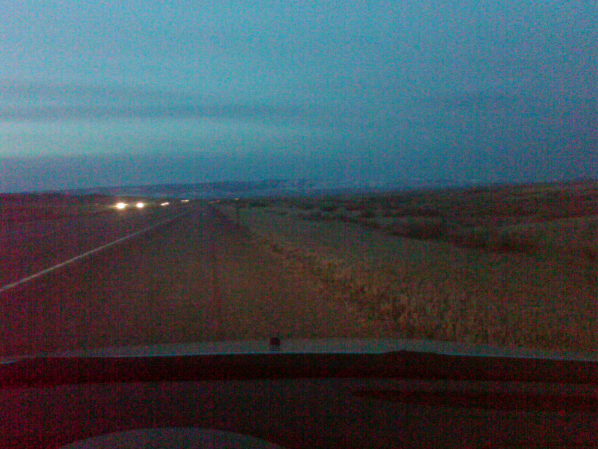
Layered sunset
#followtheleader #day3 #wayoftheroad
Wyoming, I-25 - August 2014
Wyoming, I-25 - August 2014
Road Trip to Canada
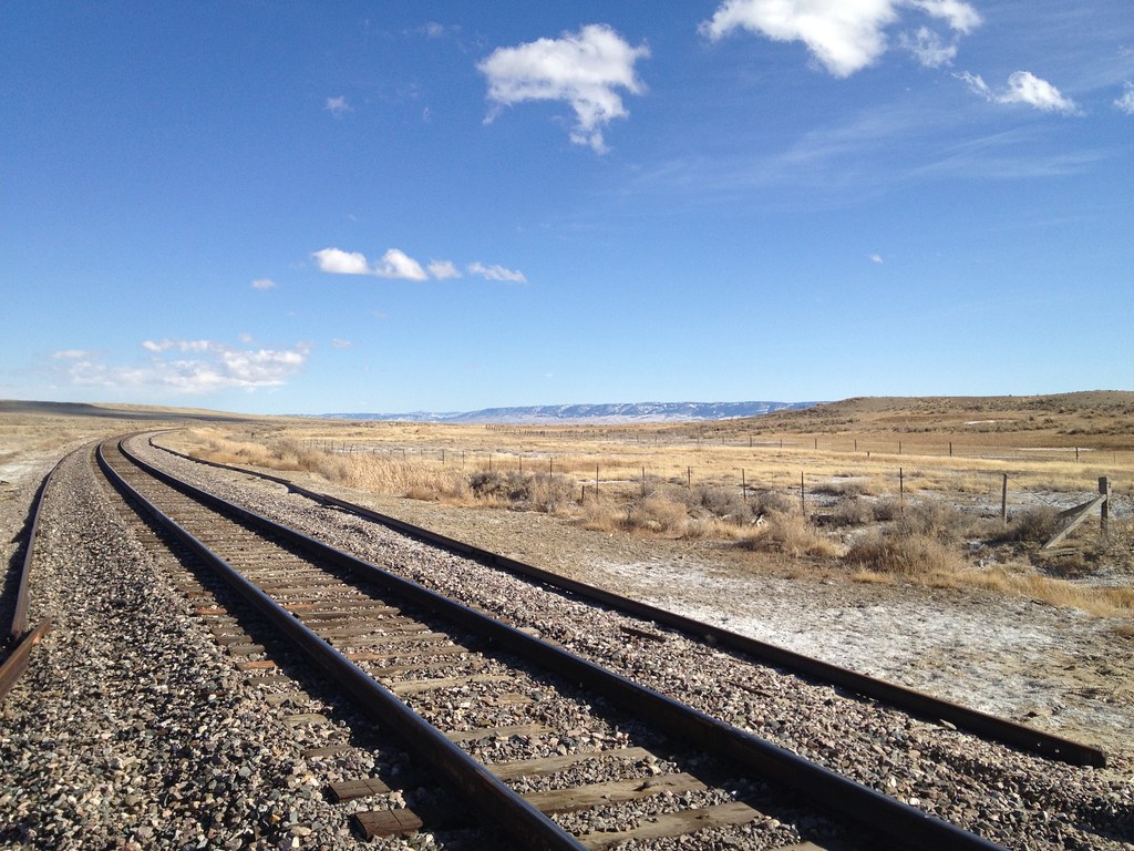
BNSF at 33 Mile Road
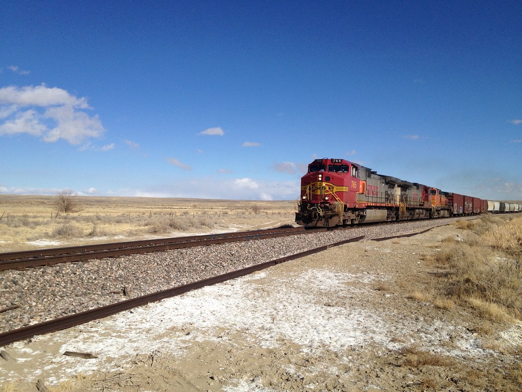
BNSF at 33 Mile Road
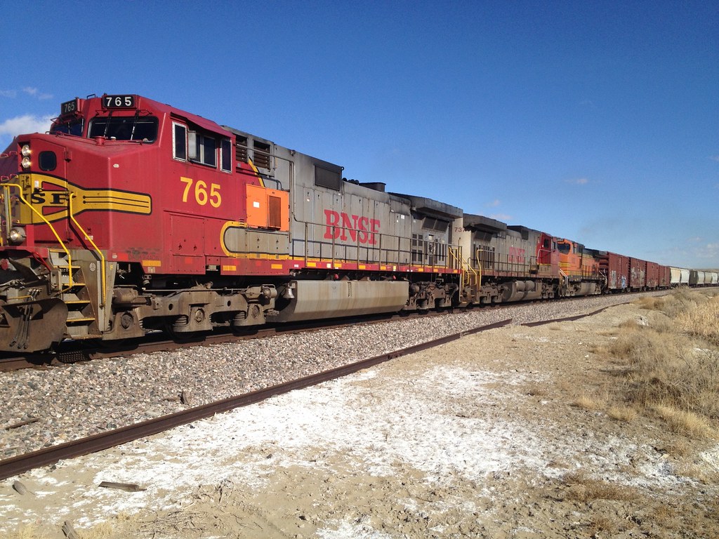
BNSF at 33 Mile Road
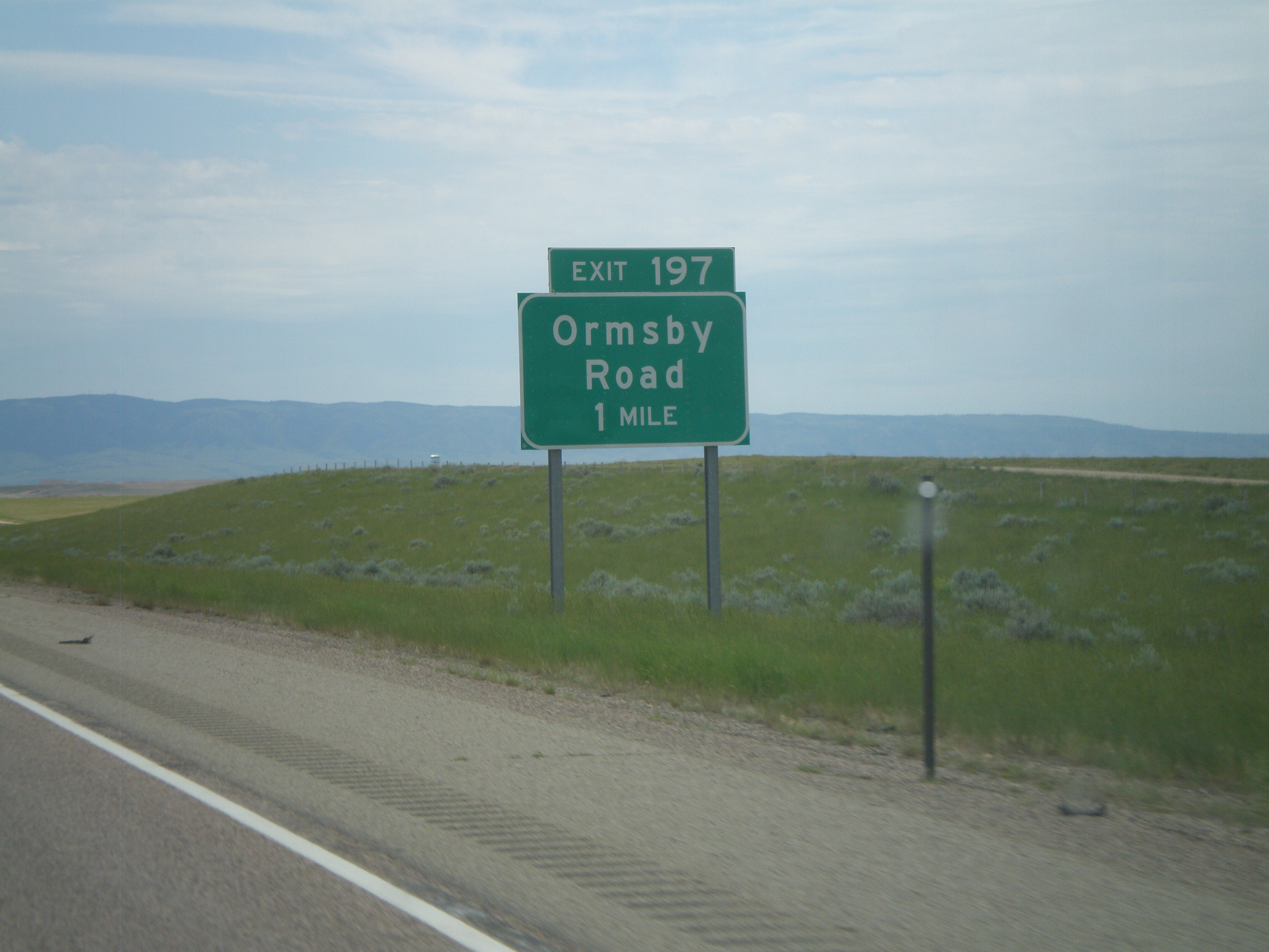
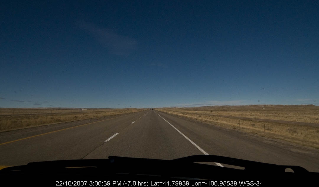
I-25 South - Exit 197
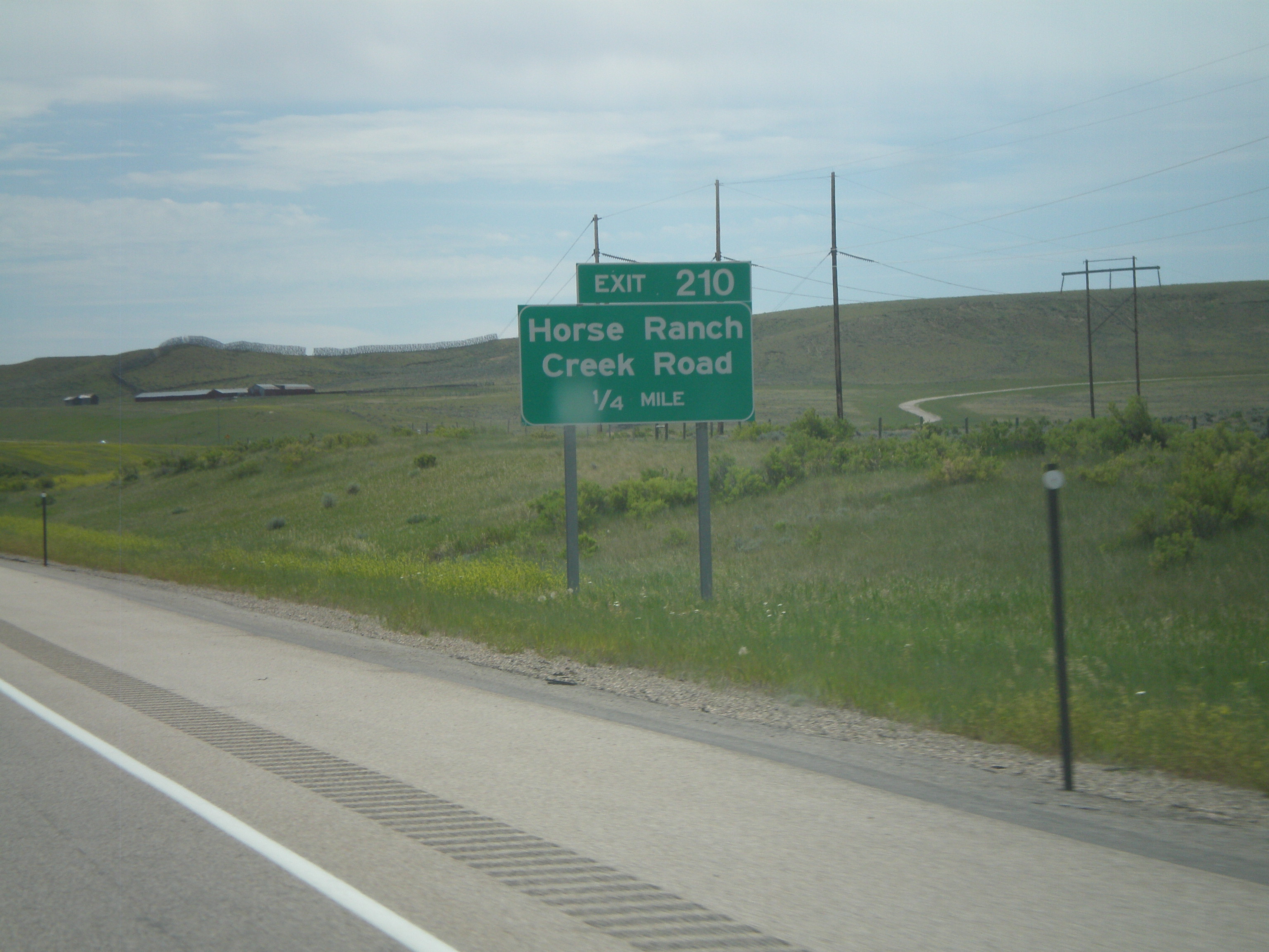
I-25 South - Exit 210
IMG00242-20100318-0558

PenskeOne-97.jpg
PenskeOne-96.jpg
Prairie Dog Dr, Bar Nunn, WY アメリカ合衆国の地図
別の場所を検索
近所の場所
アメリカ合衆国 〒 ワイオミング州 アンテロープ・ヒルズ
Homa Hills Rd, Casper, WY アメリカ合衆国
アメリカ合衆国 〒 ワイオミング州 バー・ナン
Sunset Blvd, Bar Nunn, WY アメリカ合衆国
1 Events Dr, Casper, WY アメリカ合衆国
アメリカ合衆国 ワイオミング州 キャスパー
Pantheon, Evansville, WY アメリカ合衆国
N Durbin St, Casper, WY アメリカ合衆国
Copperhead Dr, Evansville, WY アメリカ合衆国
アメリカ合衆国 ワイオミング州 エバンズビル
Old Yellowstone Hwy, Casper, WY アメリカ合衆国
E Yellowstone Hwy, Casper, WY アメリカ合衆国
アメリカ合衆国 〒 ワイオミング州 ブルックハスト
W 12th St, Casper, WY アメリカ合衆国
アメリカ合衆国 ワイオミング州 ミルズ
Glacier, Casper, WY アメリカ合衆国
River Park Dr, Casper, WY アメリカ合衆国
Primrose St, Casper, WY アメリカ合衆国
Cherokee Ln, Casper, WY アメリカ合衆国
Mountain Way, Casper, WY アメリカ合衆国
最近の検索
- アメリカ合衆国 アラスカ州 レッド・ドッグ・マイン日の出日の入り時間
- Am bhf, Borken, ドイツアム・バーンホーフ日の出日の入り時間
- 4th St E, Sonoma, CA, USA日の出日の入り時間
- Oakland Ave, Williamsport, PA アメリカ合衆国日の出日の入り時間
- Via Roma, Pieranica CR, イタリアローマ通り日の出日の入り時間
- クロアチア 〒 ドゥブロブニク GradClock Tower of Dubrovnik日の出日の入り時間
- アルゼンチン チュブ州 トレリュー日の出日の入り時間
- Hartfords Bluff Cir, Mt Pleasant, SC アメリカ合衆国日の出日の入り時間
- 日本、熊本県熊本市北区日の出日の入り時間
- 中華人民共和国 福州市 平潭県 平潭島日の出日の入り時間