アメリカ合衆国 〒 テネシー州 パウエルズ・クロスローズ日の出日の入り時間
Location: アメリカ合衆国 > テネシー州 > マリオン >
時間帯:
America/Chicago
現地時間:
2025-06-21 18:28:00
経度:
-85.4857978
緯度:
35.189518
今日の日の出時刻:
05:28:13 AM
今日の日の入時刻:
08:00:02 PM
今日の日長:
14h 31m 49s
明日の日の出時刻:
05:28:29 AM
明日の日の入時刻:
08:00:11 PM
明日の日長:
14h 31m 42s
すべて表示する
| 日付 | 日出 | 日没 | 日長 |
|---|---|---|---|
| 2025年01月01日 | 06:50:32 AM | 04:41:38 PM | 9h 51m 6s |
| 2025年01月02日 | 06:50:40 AM | 04:42:25 PM | 9h 51m 45s |
| 2025年01月03日 | 06:50:45 AM | 04:43:14 PM | 9h 52m 29s |
| 2025年01月04日 | 06:50:49 AM | 04:44:04 PM | 9h 53m 15s |
| 2025年01月05日 | 06:50:51 AM | 04:44:55 PM | 9h 54m 4s |
| 2025年01月06日 | 06:50:51 AM | 04:45:47 PM | 9h 54m 56s |
| 2025年01月07日 | 06:50:49 AM | 04:46:39 PM | 9h 55m 50s |
| 2025年01月08日 | 06:50:45 AM | 04:47:33 PM | 9h 56m 48s |
| 2025年01月09日 | 06:50:39 AM | 04:48:27 PM | 9h 57m 48s |
| 2025年01月10日 | 06:50:31 AM | 04:49:23 PM | 9h 58m 52s |
| 2025年01月11日 | 06:50:21 AM | 04:50:19 PM | 9h 59m 58s |
| 2025年01月12日 | 06:50:10 AM | 04:51:15 PM | 10h 1m 5s |
| 2025年01月13日 | 06:49:56 AM | 04:52:12 PM | 10h 2m 16s |
| 2025年01月14日 | 06:49:41 AM | 04:53:10 PM | 10h 3m 29s |
| 2025年01月15日 | 06:49:23 AM | 04:54:09 PM | 10h 4m 46s |
| 2025年01月16日 | 06:49:04 AM | 04:55:08 PM | 10h 6m 4s |
| 2025年01月17日 | 06:48:43 AM | 04:56:07 PM | 10h 7m 24s |
| 2025年01月18日 | 06:48:20 AM | 04:57:07 PM | 10h 8m 47s |
| 2025年01月19日 | 06:47:55 AM | 04:58:07 PM | 10h 10m 12s |
| 2025年01月20日 | 06:47:29 AM | 04:59:07 PM | 10h 11m 38s |
| 2025年01月21日 | 06:47:00 AM | 05:00:08 PM | 10h 13m 8s |
| 2025年01月22日 | 06:46:30 AM | 05:01:08 PM | 10h 14m 38s |
| 2025年01月23日 | 06:45:58 AM | 05:02:10 PM | 10h 16m 12s |
| 2025年01月24日 | 06:45:24 AM | 05:03:11 PM | 10h 17m 47s |
| 2025年01月25日 | 06:44:49 AM | 05:04:12 PM | 10h 19m 23s |
| 2025年01月26日 | 06:44:12 AM | 05:05:14 PM | 10h 21m 2s |
| 2025年01月27日 | 06:43:33 AM | 05:06:15 PM | 10h 22m 42s |
| 2025年01月28日 | 06:42:52 AM | 05:07:17 PM | 10h 24m 25s |
| 2025年01月29日 | 06:42:10 AM | 05:08:18 PM | 10h 26m 8s |
| 2025年01月30日 | 06:41:27 AM | 05:09:20 PM | 10h 27m 53s |
| 2025年01月31日 | 06:40:41 AM | 05:10:21 PM | 10h 29m 40s |
| 2025年02月01日 | 06:39:54 AM | 05:11:23 PM | 10h 31m 29s |
| 2025年02月02日 | 06:39:06 AM | 05:12:24 PM | 10h 33m 18s |
| 2025年02月03日 | 06:38:16 AM | 05:13:25 PM | 10h 35m 9s |
| 2025年02月04日 | 06:37:25 AM | 05:14:26 PM | 10h 37m 1s |
| 2025年02月05日 | 06:36:32 AM | 05:15:27 PM | 10h 38m 55s |
| 2025年02月06日 | 06:35:38 AM | 05:16:27 PM | 10h 40m 49s |
| 2025年02月07日 | 06:34:43 AM | 05:17:28 PM | 10h 42m 45s |
| 2025年02月08日 | 06:33:46 AM | 05:18:28 PM | 10h 44m 42s |
| 2025年02月09日 | 06:32:48 AM | 05:19:28 PM | 10h 46m 40s |
| 2025年02月10日 | 06:31:48 AM | 05:20:27 PM | 10h 48m 39s |
| 2025年02月11日 | 06:30:48 AM | 05:21:27 PM | 10h 50m 39s |
| 2025年02月12日 | 06:29:46 AM | 05:22:26 PM | 10h 52m 40s |
| 2025年02月13日 | 06:28:43 AM | 05:23:24 PM | 10h 54m 41s |
| 2025年02月14日 | 06:27:39 AM | 05:24:23 PM | 10h 56m 44s |
| 2025年02月15日 | 06:26:33 AM | 05:25:21 PM | 10h 58m 48s |
| 2025年02月16日 | 06:25:27 AM | 05:26:19 PM | 11h 0m 52s |
| 2025年02月17日 | 06:24:20 AM | 05:27:16 PM | 11h 2m 56s |
| 2025年02月18日 | 06:23:11 AM | 05:28:14 PM | 11h 5m 3s |
| 2025年02月19日 | 06:22:02 AM | 05:29:10 PM | 11h 7m 8s |
| 2025年02月20日 | 06:20:51 AM | 05:30:07 PM | 11h 9m 16s |
| 2025年02月21日 | 06:19:40 AM | 05:31:03 PM | 11h 11m 23s |
| 2025年02月22日 | 06:18:28 AM | 05:31:59 PM | 11h 13m 31s |
| 2025年02月23日 | 06:17:14 AM | 05:32:54 PM | 11h 15m 40s |
| 2025年02月24日 | 06:16:01 AM | 05:33:49 PM | 11h 17m 48s |
| 2025年02月25日 | 06:14:46 AM | 05:34:44 PM | 11h 19m 58s |
| 2025年02月26日 | 06:13:30 AM | 05:35:39 PM | 11h 22m 9s |
| 2025年02月27日 | 06:12:14 AM | 05:36:33 PM | 11h 24m 19s |
| 2025年02月28日 | 06:10:57 AM | 05:37:27 PM | 11h 26m 30s |
| 2025年03月01日 | 06:09:39 AM | 05:38:20 PM | 11h 28m 41s |
| 2025年03月02日 | 06:08:21 AM | 05:39:13 PM | 11h 30m 52s |
| 2025年03月03日 | 06:07:02 AM | 05:40:06 PM | 11h 33m 4s |
| 2025年03月04日 | 06:05:43 AM | 05:40:59 PM | 11h 35m 16s |
| 2025年03月05日 | 06:04:23 AM | 05:41:51 PM | 11h 37m 28s |
| 2025年03月06日 | 06:03:02 AM | 05:42:43 PM | 11h 39m 41s |
| 2025年03月07日 | 06:01:41 AM | 05:43:35 PM | 11h 41m 54s |
| 2025年03月08日 | 06:00:20 AM | 05:44:26 PM | 11h 44m 6s |
| 2025年03月09日 | 06:59:01 AM | 06:45:15 PM | 11h 46m 14s |
| 2025年03月10日 | 06:57:39 AM | 06:46:06 PM | 11h 48m 27s |
| 2025年03月11日 | 06:56:16 AM | 06:46:57 PM | 11h 50m 41s |
| 2025年03月12日 | 06:54:53 AM | 06:47:48 PM | 11h 52m 55s |
| 2025年03月13日 | 06:53:30 AM | 06:48:38 PM | 11h 55m 8s |
| 2025年03月14日 | 06:52:06 AM | 06:49:28 PM | 11h 57m 22s |
| 2025年03月15日 | 06:50:42 AM | 06:50:18 PM | 11h 59m 36s |
| 2025年03月16日 | 06:49:18 AM | 06:51:07 PM | 12h 1m 49s |
| 2025年03月17日 | 06:47:54 AM | 06:51:57 PM | 12h 4m 3s |
| 2025年03月18日 | 06:46:29 AM | 06:52:46 PM | 12h 6m 17s |
| 2025年03月19日 | 06:45:05 AM | 06:53:36 PM | 12h 8m 31s |
| 2025年03月20日 | 06:43:40 AM | 06:54:25 PM | 12h 10m 45s |
| 2025年03月21日 | 06:42:15 AM | 06:55:14 PM | 12h 12m 59s |
| 2025年03月22日 | 06:40:51 AM | 06:56:02 PM | 12h 15m 11s |
| 2025年03月23日 | 06:39:26 AM | 06:56:51 PM | 12h 17m 25s |
| 2025年03月24日 | 06:38:01 AM | 06:57:40 PM | 12h 19m 39s |
| 2025年03月25日 | 06:36:36 AM | 06:58:28 PM | 12h 21m 52s |
| 2025年03月26日 | 06:35:12 AM | 06:59:17 PM | 12h 24m 5s |
| 2025年03月27日 | 06:33:47 AM | 07:00:05 PM | 12h 26m 18s |
| 2025年03月28日 | 06:32:23 AM | 07:00:53 PM | 12h 28m 30s |
| 2025年03月29日 | 06:30:58 AM | 07:01:42 PM | 12h 30m 44s |
| 2025年03月30日 | 06:29:34 AM | 07:02:30 PM | 12h 32m 56s |
| 2025年03月31日 | 06:28:10 AM | 07:03:18 PM | 12h 35m 8s |
| 2025年04月01日 | 06:26:47 AM | 07:04:06 PM | 12h 37m 19s |
| 2025年04月02日 | 06:25:24 AM | 07:04:54 PM | 12h 39m 30s |
| 2025年04月03日 | 06:24:01 AM | 07:05:43 PM | 12h 41m 42s |
| 2025年04月04日 | 06:22:38 AM | 07:06:31 PM | 12h 43m 53s |
| 2025年04月05日 | 06:21:16 AM | 07:07:19 PM | 12h 46m 3s |
| 2025年04月06日 | 06:19:54 AM | 07:08:07 PM | 12h 48m 13s |
| 2025年04月07日 | 06:18:32 AM | 07:08:55 PM | 12h 50m 23s |
| 2025年04月08日 | 06:17:11 AM | 07:09:44 PM | 12h 52m 33s |
| 2025年04月09日 | 06:15:51 AM | 07:10:32 PM | 12h 54m 41s |
| 2025年04月10日 | 06:14:31 AM | 07:11:21 PM | 12h 56m 50s |
| 2025年04月11日 | 06:13:11 AM | 07:12:09 PM | 12h 58m 58s |
| 2025年04月12日 | 06:11:52 AM | 07:12:58 PM | 13h 1m 6s |
| 2025年04月13日 | 06:10:34 AM | 07:13:46 PM | 13h 3m 12s |
| 2025年04月14日 | 06:09:16 AM | 07:14:35 PM | 13h 5m 19s |
| 2025年04月15日 | 06:07:59 AM | 07:15:23 PM | 13h 7m 24s |
| 2025年04月16日 | 06:06:43 AM | 07:16:12 PM | 13h 9m 29s |
| 2025年04月17日 | 06:05:27 AM | 07:17:01 PM | 13h 11m 34s |
| 2025年04月18日 | 06:04:12 AM | 07:17:50 PM | 13h 13m 38s |
| 2025年04月19日 | 06:02:58 AM | 07:18:39 PM | 13h 15m 41s |
| 2025年04月20日 | 06:01:45 AM | 07:19:28 PM | 13h 17m 43s |
| 2025年04月21日 | 06:00:32 AM | 07:20:17 PM | 13h 19m 45s |
| 2025年04月22日 | 05:59:21 AM | 07:21:06 PM | 13h 21m 45s |
| 2025年04月23日 | 05:58:10 AM | 07:21:55 PM | 13h 23m 45s |
| 2025年04月24日 | 05:57:00 AM | 07:22:44 PM | 13h 25m 44s |
| 2025年04月25日 | 05:55:51 AM | 07:23:34 PM | 13h 27m 43s |
| 2025年04月26日 | 05:54:43 AM | 07:24:23 PM | 13h 29m 40s |
| 2025年04月27日 | 05:53:36 AM | 07:25:12 PM | 13h 31m 36s |
| 2025年04月28日 | 05:52:31 AM | 07:26:01 PM | 13h 33m 30s |
| 2025年04月29日 | 05:51:26 AM | 07:26:51 PM | 13h 35m 25s |
| 2025年04月30日 | 05:50:22 AM | 07:27:40 PM | 13h 37m 18s |
| 2025年05月01日 | 05:49:19 AM | 07:28:29 PM | 13h 39m 10s |
| 2025年05月02日 | 05:48:18 AM | 07:29:18 PM | 13h 41m 0s |
| 2025年05月03日 | 05:47:18 AM | 07:30:08 PM | 13h 42m 50s |
| 2025年05月04日 | 05:46:18 AM | 07:30:57 PM | 13h 44m 39s |
| 2025年05月05日 | 05:45:20 AM | 07:31:46 PM | 13h 46m 26s |
| 2025年05月06日 | 05:44:24 AM | 07:32:34 PM | 13h 48m 10s |
| 2025年05月07日 | 05:43:28 AM | 07:33:23 PM | 13h 49m 55s |
| 2025年05月08日 | 05:42:34 AM | 07:34:12 PM | 13h 51m 38s |
| 2025年05月09日 | 05:41:41 AM | 07:35:00 PM | 13h 53m 19s |
| 2025年05月10日 | 05:40:50 AM | 07:35:48 PM | 13h 54m 58s |
| 2025年05月11日 | 05:40:00 AM | 07:36:36 PM | 13h 56m 36s |
| 2025年05月12日 | 05:39:11 AM | 07:37:24 PM | 13h 58m 13s |
| 2025年05月13日 | 05:38:23 AM | 07:38:12 PM | 13h 59m 49s |
| 2025年05月14日 | 05:37:38 AM | 07:38:59 PM | 14h 1m 21s |
| 2025年05月15日 | 05:36:53 AM | 07:39:46 PM | 14h 2m 53s |
| 2025年05月16日 | 05:36:10 AM | 07:40:32 PM | 14h 4m 22s |
| 2025年05月17日 | 05:35:28 AM | 07:41:19 PM | 14h 5m 51s |
| 2025年05月18日 | 05:34:48 AM | 07:42:04 PM | 14h 7m 16s |
| 2025年05月19日 | 05:34:10 AM | 07:42:50 PM | 14h 8m 40s |
| 2025年05月20日 | 05:33:33 AM | 07:43:34 PM | 14h 10m 1s |
| 2025年05月21日 | 05:32:58 AM | 07:44:19 PM | 14h 11m 21s |
| 2025年05月22日 | 05:32:24 AM | 07:45:03 PM | 14h 12m 39s |
| 2025年05月23日 | 05:31:51 AM | 07:45:46 PM | 14h 13m 55s |
| 2025年05月24日 | 05:31:21 AM | 07:46:29 PM | 14h 15m 8s |
| 2025年05月25日 | 05:30:52 AM | 07:47:11 PM | 14h 16m 19s |
| 2025年05月26日 | 05:30:24 AM | 07:47:52 PM | 14h 17m 28s |
| 2025年05月27日 | 05:29:59 AM | 07:48:33 PM | 14h 18m 34s |
| 2025年05月28日 | 05:29:34 AM | 07:49:13 PM | 14h 19m 39s |
| 2025年05月29日 | 05:29:12 AM | 07:49:52 PM | 14h 20m 40s |
| 2025年05月30日 | 05:28:51 AM | 07:50:30 PM | 14h 21m 39s |
| 2025年05月31日 | 05:28:32 AM | 07:51:08 PM | 14h 22m 36s |
| 2025年06月01日 | 05:28:14 AM | 07:51:44 PM | 14h 23m 30s |
| 2025年06月02日 | 05:27:58 AM | 07:52:20 PM | 14h 24m 22s |
| 2025年06月03日 | 05:27:44 AM | 07:52:55 PM | 14h 25m 11s |
| 2025年06月04日 | 05:27:32 AM | 07:53:28 PM | 14h 25m 56s |
| 2025年06月05日 | 05:27:21 AM | 07:54:01 PM | 14h 26m 40s |
| 2025年06月06日 | 05:27:12 AM | 07:54:33 PM | 14h 27m 21s |
| 2025年06月07日 | 05:27:04 AM | 07:55:03 PM | 14h 27m 59s |
| 2025年06月08日 | 05:26:58 AM | 07:55:33 PM | 14h 28m 35s |
| 2025年06月09日 | 05:26:54 AM | 07:56:01 PM | 14h 29m 7s |
| 2025年06月10日 | 05:26:51 AM | 07:56:28 PM | 14h 29m 37s |
| 2025年06月11日 | 05:26:50 AM | 07:56:54 PM | 14h 30m 4s |
| 2025年06月12日 | 05:26:51 AM | 07:57:18 PM | 14h 30m 27s |
| 2025年06月13日 | 05:26:53 AM | 07:57:41 PM | 14h 30m 48s |
| 2025年06月14日 | 05:26:57 AM | 07:58:03 PM | 14h 31m 6s |
| 2025年06月15日 | 05:27:02 AM | 07:58:24 PM | 14h 31m 22s |
| 2025年06月16日 | 05:27:09 AM | 07:58:43 PM | 14h 31m 34s |
| 2025年06月17日 | 05:27:17 AM | 07:59:01 PM | 14h 31m 44s |
| 2025年06月18日 | 05:27:27 AM | 07:59:17 PM | 14h 31m 50s |
| 2025年06月19日 | 05:27:38 AM | 07:59:32 PM | 14h 31m 54s |
| 2025年06月20日 | 05:27:51 AM | 07:59:45 PM | 14h 31m 54s |
| 2025年06月21日 | 05:28:06 AM | 07:59:57 PM | 14h 31m 51s |
| 2025年06月22日 | 05:28:21 AM | 08:00:07 PM | 14h 31m 46s |
| 2025年06月23日 | 05:28:38 AM | 08:00:16 PM | 14h 31m 38s |
| 2025年06月24日 | 05:28:57 AM | 08:00:23 PM | 14h 31m 26s |
| 2025年06月25日 | 05:29:17 AM | 08:00:28 PM | 14h 31m 11s |
| 2025年06月26日 | 05:29:38 AM | 08:00:32 PM | 14h 30m 54s |
| 2025年06月27日 | 05:30:00 AM | 08:00:34 PM | 14h 30m 34s |
| 2025年06月28日 | 05:30:24 AM | 08:00:35 PM | 14h 30m 11s |
| 2025年06月29日 | 05:30:48 AM | 08:00:34 PM | 14h 29m 46s |
| 2025年06月30日 | 05:31:14 AM | 08:00:31 PM | 14h 29m 17s |
| 2025年07月01日 | 05:31:41 AM | 08:00:27 PM | 14h 28m 46s |
| 2025年07月02日 | 05:32:10 AM | 08:00:21 PM | 14h 28m 11s |
| 2025年07月03日 | 05:32:39 AM | 08:00:13 PM | 14h 27m 34s |
| 2025年07月04日 | 05:33:09 AM | 08:00:03 PM | 14h 26m 54s |
| 2025年07月05日 | 05:33:41 AM | 07:59:52 PM | 14h 26m 11s |
| 2025年07月06日 | 05:34:13 AM | 07:59:39 PM | 14h 25m 26s |
| 2025年07月07日 | 05:34:46 AM | 07:59:25 PM | 14h 24m 39s |
| 2025年07月08日 | 05:35:20 AM | 07:59:08 PM | 14h 23m 48s |
| 2025年07月09日 | 05:35:55 AM | 07:58:50 PM | 14h 22m 55s |
| 2025年07月10日 | 05:36:31 AM | 07:58:31 PM | 14h 22m 0s |
| 2025年07月11日 | 05:37:08 AM | 07:58:09 PM | 14h 21m 1s |
| 2025年07月12日 | 05:37:45 AM | 07:57:46 PM | 14h 20m 1s |
| 2025年07月13日 | 05:38:23 AM | 07:57:21 PM | 14h 18m 58s |
| 2025年07月14日 | 05:39:02 AM | 07:56:55 PM | 14h 17m 53s |
| 2025年07月15日 | 05:39:41 AM | 07:56:27 PM | 14h 16m 46s |
| 2025年07月16日 | 05:40:21 AM | 07:55:57 PM | 14h 15m 36s |
| 2025年07月17日 | 05:41:01 AM | 07:55:26 PM | 14h 14m 25s |
| 2025年07月18日 | 05:41:43 AM | 07:54:53 PM | 14h 13m 10s |
| 2025年07月19日 | 05:42:24 AM | 07:54:18 PM | 14h 11m 54s |
| 2025年07月20日 | 05:43:06 AM | 07:53:42 PM | 14h 10m 36s |
| 2025年07月21日 | 05:43:49 AM | 07:53:04 PM | 14h 9m 15s |
| 2025年07月22日 | 05:44:32 AM | 07:52:24 PM | 14h 7m 52s |
| 2025年07月23日 | 05:45:15 AM | 07:51:44 PM | 14h 6m 29s |
| 2025年07月24日 | 05:45:59 AM | 07:51:01 PM | 14h 5m 2s |
| 2025年07月25日 | 05:46:43 AM | 07:50:17 PM | 14h 3m 34s |
| 2025年07月26日 | 05:47:27 AM | 07:49:32 PM | 14h 2m 5s |
| 2025年07月27日 | 05:48:11 AM | 07:48:45 PM | 14h 0m 34s |
| 2025年07月28日 | 05:48:56 AM | 07:47:56 PM | 13h 59m 0s |
| 2025年07月29日 | 05:49:41 AM | 07:47:06 PM | 13h 57m 25s |
| 2025年07月30日 | 05:50:26 AM | 07:46:15 PM | 13h 55m 49s |
| 2025年07月31日 | 05:51:12 AM | 07:45:23 PM | 13h 54m 11s |
| 2025年08月01日 | 05:51:57 AM | 07:44:29 PM | 13h 52m 32s |
| 2025年08月02日 | 05:52:43 AM | 07:43:33 PM | 13h 50m 50s |
| 2025年08月03日 | 05:53:28 AM | 07:42:37 PM | 13h 49m 9s |
| 2025年08月04日 | 05:54:14 AM | 07:41:39 PM | 13h 47m 25s |
| 2025年08月05日 | 05:55:00 AM | 07:40:39 PM | 13h 45m 39s |
| 2025年08月06日 | 05:55:46 AM | 07:39:39 PM | 13h 43m 53s |
| 2025年08月07日 | 05:56:32 AM | 07:38:37 PM | 13h 42m 5s |
| 2025年08月08日 | 05:57:18 AM | 07:37:35 PM | 13h 40m 17s |
| 2025年08月09日 | 05:58:04 AM | 07:36:31 PM | 13h 38m 27s |
| 2025年08月10日 | 05:58:50 AM | 07:35:26 PM | 13h 36m 36s |
| 2025年08月11日 | 05:59:35 AM | 07:34:19 PM | 13h 34m 44s |
| 2025年08月12日 | 06:00:21 AM | 07:33:12 PM | 13h 32m 51s |
| 2025年08月13日 | 06:01:07 AM | 07:32:04 PM | 13h 30m 57s |
| 2025年08月14日 | 06:01:53 AM | 07:30:55 PM | 13h 29m 2s |
| 2025年08月15日 | 06:02:39 AM | 07:29:44 PM | 13h 27m 5s |
| 2025年08月16日 | 06:03:24 AM | 07:28:33 PM | 13h 25m 9s |
| 2025年08月17日 | 06:04:10 AM | 07:27:21 PM | 13h 23m 11s |
| 2025年08月18日 | 06:04:55 AM | 07:26:08 PM | 13h 21m 13s |
| 2025年08月19日 | 06:05:41 AM | 07:24:54 PM | 13h 19m 13s |
| 2025年08月20日 | 06:06:26 AM | 07:23:39 PM | 13h 17m 13s |
| 2025年08月21日 | 06:07:11 AM | 07:22:23 PM | 13h 15m 12s |
| 2025年08月22日 | 06:07:56 AM | 07:21:07 PM | 13h 13m 11s |
| 2025年08月23日 | 06:08:41 AM | 07:19:49 PM | 13h 11m 8s |
| 2025年08月24日 | 06:09:26 AM | 07:18:31 PM | 13h 9m 5s |
| 2025年08月25日 | 06:10:11 AM | 07:17:13 PM | 13h 7m 2s |
| 2025年08月26日 | 06:10:56 AM | 07:15:53 PM | 13h 4m 57s |
| 2025年08月27日 | 06:11:40 AM | 07:14:33 PM | 13h 2m 53s |
| 2025年08月28日 | 06:12:25 AM | 07:13:13 PM | 13h 0m 48s |
| 2025年08月29日 | 06:13:09 AM | 07:11:51 PM | 12h 58m 42s |
| 2025年08月30日 | 06:13:54 AM | 07:10:30 PM | 12h 56m 36s |
| 2025年08月31日 | 06:14:38 AM | 07:09:07 PM | 12h 54m 29s |
| 2025年09月01日 | 06:15:22 AM | 07:07:45 PM | 12h 52m 23s |
| 2025年09月02日 | 06:16:07 AM | 07:06:21 PM | 12h 50m 14s |
| 2025年09月03日 | 06:16:51 AM | 07:04:57 PM | 12h 48m 6s |
| 2025年09月04日 | 06:17:35 AM | 07:03:33 PM | 12h 45m 58s |
| 2025年09月05日 | 06:18:19 AM | 07:02:09 PM | 12h 43m 50s |
| 2025年09月06日 | 06:19:03 AM | 07:00:44 PM | 12h 41m 41s |
| 2025年09月07日 | 06:19:47 AM | 06:59:18 PM | 12h 39m 31s |
| 2025年09月08日 | 06:20:31 AM | 06:57:53 PM | 12h 37m 22s |
| 2025年09月09日 | 06:21:14 AM | 06:56:27 PM | 12h 35m 13s |
| 2025年09月10日 | 06:21:58 AM | 06:55:01 PM | 12h 33m 3s |
| 2025年09月11日 | 06:22:42 AM | 06:53:34 PM | 12h 30m 52s |
| 2025年09月12日 | 06:23:26 AM | 06:52:08 PM | 12h 28m 42s |
| 2025年09月13日 | 06:24:10 AM | 06:50:41 PM | 12h 26m 31s |
| 2025年09月14日 | 06:24:54 AM | 06:49:14 PM | 12h 24m 20s |
| 2025年09月15日 | 06:25:38 AM | 06:47:47 PM | 12h 22m 9s |
| 2025年09月16日 | 06:26:22 AM | 06:46:20 PM | 12h 19m 58s |
| 2025年09月17日 | 06:27:07 AM | 06:44:53 PM | 12h 17m 46s |
| 2025年09月18日 | 06:27:51 AM | 06:43:26 PM | 12h 15m 35s |
| 2025年09月19日 | 06:28:35 AM | 06:41:59 PM | 12h 13m 24s |
| 2025年09月20日 | 06:29:20 AM | 06:40:32 PM | 12h 11m 12s |
| 2025年09月21日 | 06:30:05 AM | 06:39:05 PM | 12h 9m 0s |
| 2025年09月22日 | 06:30:49 AM | 06:37:38 PM | 12h 6m 49s |
| 2025年09月23日 | 06:31:34 AM | 06:36:11 PM | 12h 4m 37s |
| 2025年09月24日 | 06:32:19 AM | 06:34:44 PM | 12h 2m 25s |
| 2025年09月25日 | 06:33:05 AM | 06:33:18 PM | 12h 0m 13s |
| 2025年09月26日 | 06:33:50 AM | 06:31:52 PM | 11h 58m 2s |
| 2025年09月27日 | 06:34:36 AM | 06:30:26 PM | 11h 55m 50s |
| 2025年09月28日 | 06:35:21 AM | 06:29:00 PM | 11h 53m 39s |
| 2025年09月29日 | 06:36:08 AM | 06:27:34 PM | 11h 51m 26s |
| 2025年09月30日 | 06:36:54 AM | 06:26:09 PM | 11h 49m 15s |
| 2025年10月01日 | 06:37:40 AM | 06:24:45 PM | 11h 47m 5s |
| 2025年10月02日 | 06:38:27 AM | 06:23:20 PM | 11h 44m 53s |
| 2025年10月03日 | 06:39:14 AM | 06:21:56 PM | 11h 42m 42s |
| 2025年10月04日 | 06:40:01 AM | 06:20:33 PM | 11h 40m 32s |
| 2025年10月05日 | 06:40:49 AM | 06:19:09 PM | 11h 38m 20s |
| 2025年10月06日 | 06:41:37 AM | 06:17:47 PM | 11h 36m 10s |
| 2025年10月07日 | 06:42:25 AM | 06:16:25 PM | 11h 34m 0s |
| 2025年10月08日 | 06:43:14 AM | 06:15:03 PM | 11h 31m 49s |
| 2025年10月09日 | 06:44:02 AM | 06:13:43 PM | 11h 29m 41s |
| 2025年10月10日 | 06:44:52 AM | 06:12:22 PM | 11h 27m 30s |
| 2025年10月11日 | 06:45:41 AM | 06:11:03 PM | 11h 25m 22s |
| 2025年10月12日 | 06:46:31 AM | 06:09:44 PM | 11h 23m 13s |
| 2025年10月13日 | 06:47:21 AM | 06:08:26 PM | 11h 21m 5s |
| 2025年10月14日 | 06:48:12 AM | 06:07:08 PM | 11h 18m 56s |
| 2025年10月15日 | 06:49:02 AM | 06:05:51 PM | 11h 16m 49s |
| 2025年10月16日 | 06:49:54 AM | 06:04:36 PM | 11h 14m 42s |
| 2025年10月17日 | 06:50:45 AM | 06:03:21 PM | 11h 12m 36s |
| 2025年10月18日 | 06:51:37 AM | 06:02:06 PM | 11h 10m 29s |
| 2025年10月19日 | 06:52:29 AM | 06:00:53 PM | 11h 8m 24s |
| 2025年10月20日 | 06:53:22 AM | 05:59:41 PM | 11h 6m 19s |
| 2025年10月21日 | 06:54:15 AM | 05:58:30 PM | 11h 4m 15s |
| 2025年10月22日 | 06:55:09 AM | 05:57:19 PM | 11h 2m 10s |
| 2025年10月23日 | 06:56:02 AM | 05:56:10 PM | 11h 0m 8s |
| 2025年10月24日 | 06:56:56 AM | 05:55:02 PM | 10h 58m 6s |
| 2025年10月25日 | 06:57:51 AM | 05:53:55 PM | 10h 56m 4s |
| 2025年10月26日 | 06:58:46 AM | 05:52:49 PM | 10h 54m 3s |
| 2025年10月27日 | 06:59:41 AM | 05:51:44 PM | 10h 52m 3s |
| 2025年10月28日 | 07:00:36 AM | 05:50:40 PM | 10h 50m 4s |
| 2025年10月29日 | 07:01:32 AM | 05:49:38 PM | 10h 48m 6s |
| 2025年10月30日 | 07:02:28 AM | 05:48:36 PM | 10h 46m 8s |
| 2025年10月31日 | 07:03:25 AM | 05:47:37 PM | 10h 44m 12s |
| 2025年11月01日 | 07:04:21 AM | 05:46:38 PM | 10h 42m 17s |
| 2025年11月02日 | 06:05:21 AM | 04:45:38 PM | 10h 40m 17s |
| 2025年11月03日 | 06:06:18 AM | 04:44:43 PM | 10h 38m 25s |
| 2025年11月04日 | 06:07:16 AM | 04:43:48 PM | 10h 36m 32s |
| 2025年11月05日 | 06:08:13 AM | 04:42:55 PM | 10h 34m 42s |
| 2025年11月06日 | 06:09:11 AM | 04:42:04 PM | 10h 32m 53s |
| 2025年11月07日 | 06:10:09 AM | 04:41:14 PM | 10h 31m 5s |
| 2025年11月08日 | 06:11:08 AM | 04:40:25 PM | 10h 29m 17s |
| 2025年11月09日 | 06:12:06 AM | 04:39:38 PM | 10h 27m 32s |
| 2025年11月10日 | 06:13:05 AM | 04:38:53 PM | 10h 25m 48s |
| 2025年11月11日 | 06:14:03 AM | 04:38:09 PM | 10h 24m 6s |
| 2025年11月12日 | 06:15:02 AM | 04:37:27 PM | 10h 22m 25s |
| 2025年11月13日 | 06:16:01 AM | 04:36:47 PM | 10h 20m 46s |
| 2025年11月14日 | 06:16:59 AM | 04:36:08 PM | 10h 19m 9s |
| 2025年11月15日 | 06:17:58 AM | 04:35:31 PM | 10h 17m 33s |
| 2025年11月16日 | 06:18:57 AM | 04:34:56 PM | 10h 15m 59s |
| 2025年11月17日 | 06:19:55 AM | 04:34:22 PM | 10h 14m 27s |
| 2025年11月18日 | 06:20:54 AM | 04:33:51 PM | 10h 12m 57s |
| 2025年11月19日 | 06:21:52 AM | 04:33:21 PM | 10h 11m 29s |
| 2025年11月20日 | 06:22:50 AM | 04:32:53 PM | 10h 10m 3s |
| 2025年11月21日 | 06:23:48 AM | 04:32:26 PM | 10h 8m 38s |
| 2025年11月22日 | 06:24:45 AM | 04:32:02 PM | 10h 7m 17s |
| 2025年11月23日 | 06:25:42 AM | 04:31:40 PM | 10h 5m 58s |
| 2025年11月24日 | 06:26:39 AM | 04:31:19 PM | 10h 4m 40s |
| 2025年11月25日 | 06:27:35 AM | 04:31:00 PM | 10h 3m 25s |
| 2025年11月26日 | 06:28:31 AM | 04:30:43 PM | 10h 2m 12s |
| 2025年11月27日 | 06:29:27 AM | 04:30:29 PM | 10h 1m 2s |
| 2025年11月28日 | 06:30:21 AM | 04:30:16 PM | 9h 59m 55s |
| 2025年11月29日 | 06:31:16 AM | 04:30:05 PM | 9h 58m 49s |
| 2025年11月30日 | 06:32:09 AM | 04:29:56 PM | 9h 57m 47s |
| 2025年12月01日 | 06:33:02 AM | 04:29:49 PM | 9h 56m 47s |
| 2025年12月02日 | 06:33:54 AM | 04:29:44 PM | 9h 55m 50s |
| 2025年12月03日 | 06:34:46 AM | 04:29:41 PM | 9h 54m 55s |
| 2025年12月04日 | 06:35:36 AM | 04:29:40 PM | 9h 54m 4s |
| 2025年12月05日 | 06:36:26 AM | 04:29:40 PM | 9h 53m 14s |
| 2025年12月06日 | 06:37:15 AM | 04:29:43 PM | 9h 52m 28s |
| 2025年12月07日 | 06:38:02 AM | 04:29:48 PM | 9h 51m 46s |
| 2025年12月08日 | 06:38:49 AM | 04:29:55 PM | 9h 51m 6s |
| 2025年12月09日 | 06:39:35 AM | 04:30:03 PM | 9h 50m 28s |
| 2025年12月10日 | 06:40:19 AM | 04:30:14 PM | 9h 49m 55s |
| 2025年12月11日 | 06:41:02 AM | 04:30:26 PM | 9h 49m 24s |
| 2025年12月12日 | 06:41:45 AM | 04:30:41 PM | 9h 48m 56s |
| 2025年12月13日 | 06:42:25 AM | 04:30:57 PM | 9h 48m 32s |
| 2025年12月14日 | 06:43:05 AM | 04:31:15 PM | 9h 48m 10s |
| 2025年12月15日 | 06:43:43 AM | 04:31:35 PM | 9h 47m 52s |
| 2025年12月16日 | 06:44:20 AM | 04:31:57 PM | 9h 47m 37s |
| 2025年12月17日 | 06:44:55 AM | 04:32:20 PM | 9h 47m 25s |
| 2025年12月18日 | 06:45:29 AM | 04:32:46 PM | 9h 47m 17s |
| 2025年12月19日 | 06:46:02 AM | 04:33:13 PM | 9h 47m 11s |
| 2025年12月20日 | 06:46:32 AM | 04:33:42 PM | 9h 47m 10s |
| 2025年12月21日 | 06:47:02 AM | 04:34:12 PM | 9h 47m 10s |
| 2025年12月22日 | 06:47:29 AM | 04:34:44 PM | 9h 47m 15s |
| 2025年12月23日 | 06:47:55 AM | 04:35:18 PM | 9h 47m 23s |
| 2025年12月24日 | 06:48:19 AM | 04:35:53 PM | 9h 47m 34s |
| 2025年12月25日 | 06:48:42 AM | 04:36:30 PM | 9h 47m 48s |
| 2025年12月26日 | 06:49:03 AM | 04:37:08 PM | 9h 48m 5s |
| 2025年12月27日 | 06:49:22 AM | 04:37:48 PM | 9h 48m 26s |
| 2025年12月28日 | 06:49:39 AM | 04:38:29 PM | 9h 48m 50s |
| 2025年12月29日 | 06:49:55 AM | 04:39:11 PM | 9h 49m 16s |
| 2025年12月30日 | 06:50:08 AM | 04:39:55 PM | 9h 49m 47s |
| 2025年12月31日 | 06:50:20 AM | 04:40:40 PM | 9h 50m 20s |
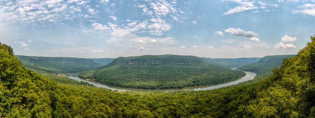
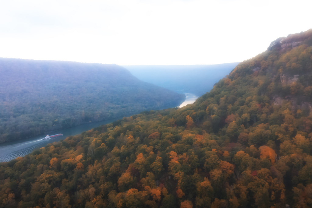
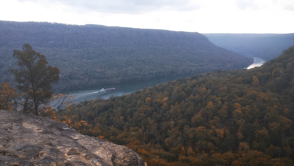
写真

Week 18:Blue
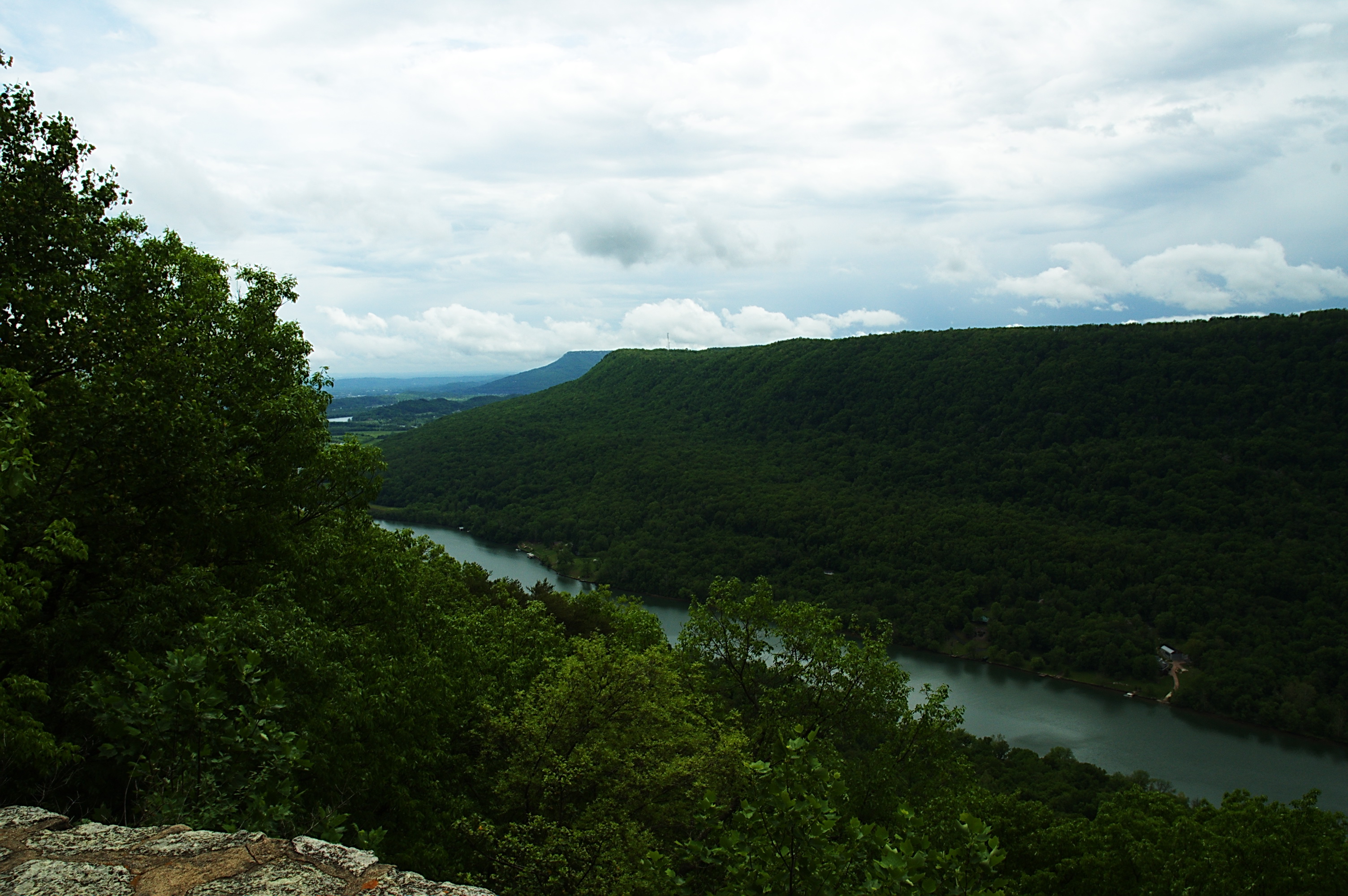
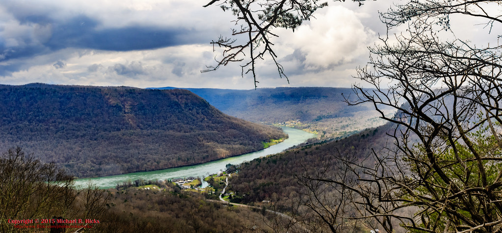
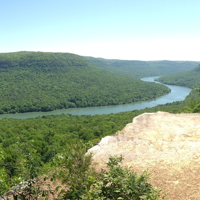
Tennessee River
Hike at Sunset Success
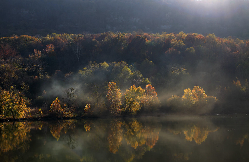
Sunset over the Tennessee River Gorge
Chattanooga Sunrise-1
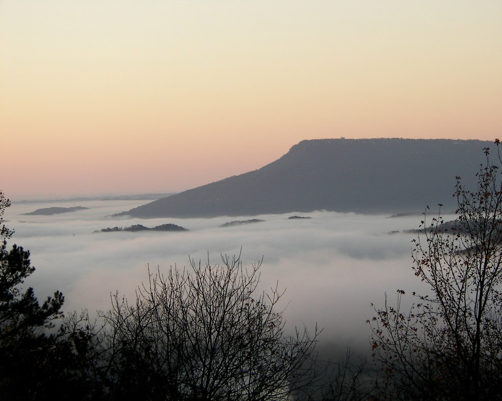
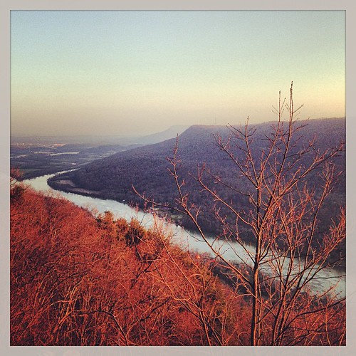
Lookout Mountain at sunrise

signal mountain view
Mullen's Cove
Signal Mountain, Tennessee

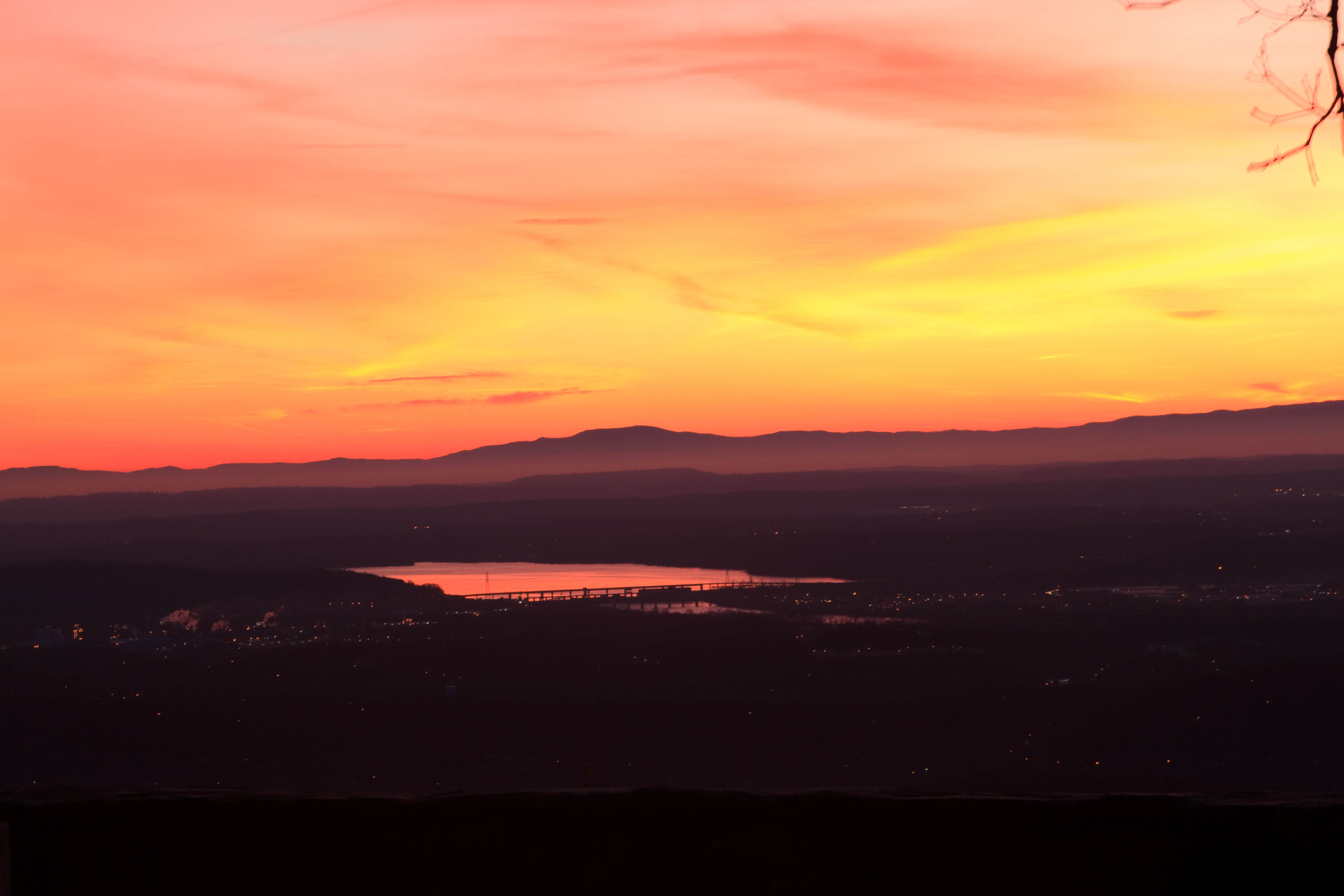
View from Signal Mtn Point Park
The Woods of Chattanooga

Unnamed waterfall two seen along the old Dixie Highway
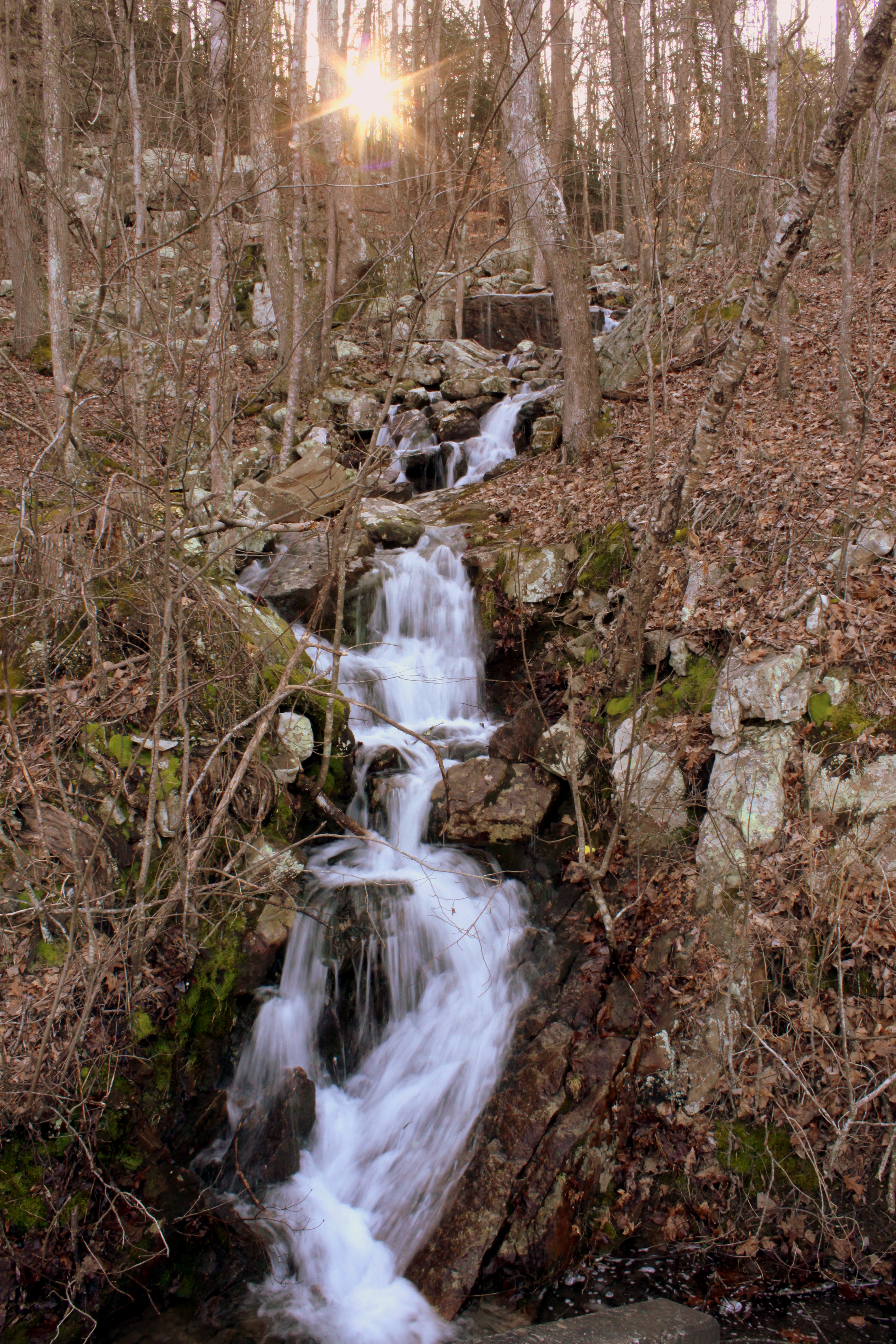
Unnamed waterfall one seen along the old Dixie Highway
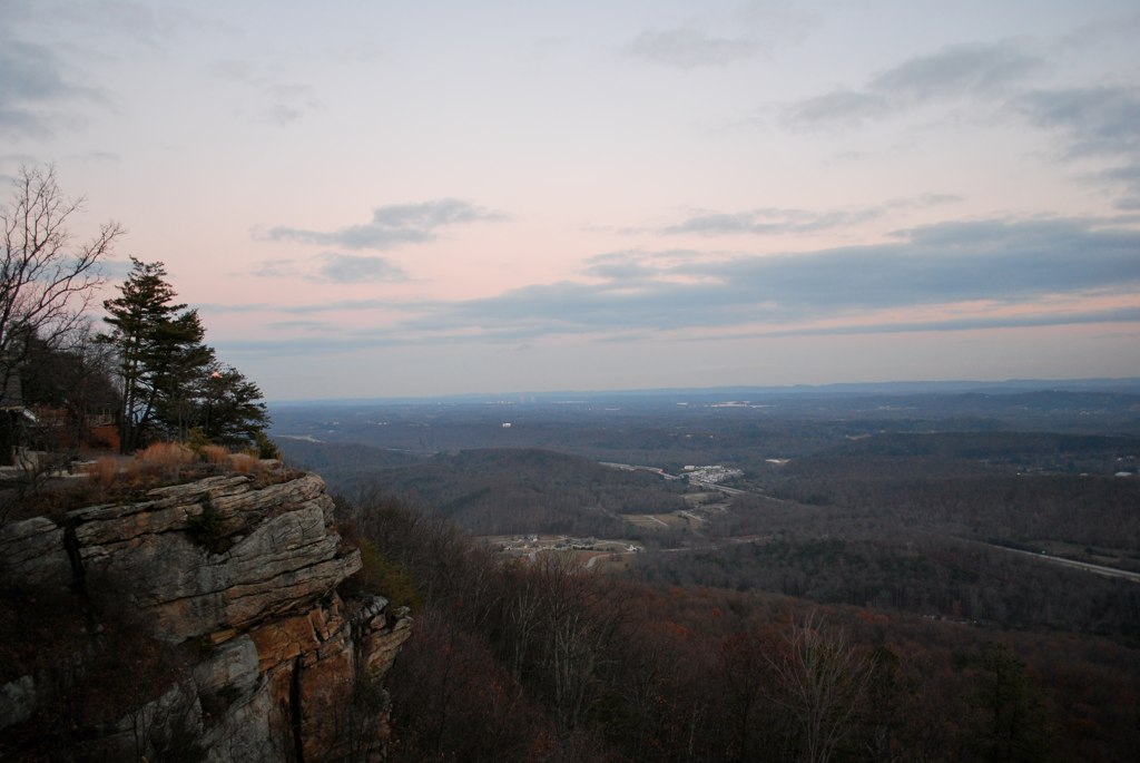
The View from Signal Mountain
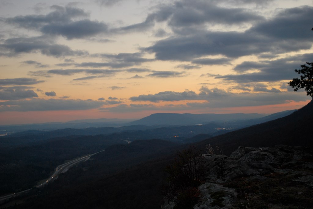
The View from Signal Mountain
Signal Point
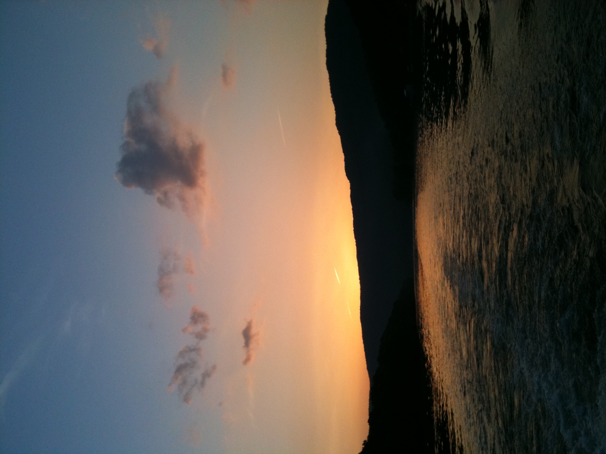
Last view of the Tennessee River
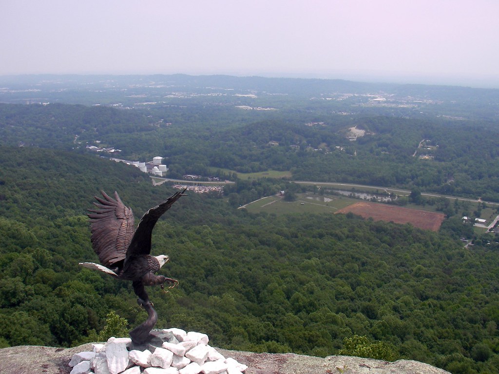
Rock city
Lunch with a view

View from Signal Point
アメリカ合衆国 〒 テネシー州 パウエルズ・クロスローズの地図
別の場所を検索
近所の場所
TN-, Whitwell, TN アメリカ合衆国
アメリカ合衆国 〒 テネシー州 ホウィットウェル
Choctaw Trail, Chattanooga, TN アメリカ合衆国
English Cove Rd, Whitwell, TN アメリカ合衆国イングリッシュ・コーブ・ロード
Choctaw Trail, Chattanooga, TN アメリカ合衆国
アメリカ合衆国 〒 テネシー州 ホウィットウェル
Grays Creek Rd, Whitwell, TN アメリカ合衆国
Clear Brooks Dr, Signal Mountain, TN アメリカ合衆国
W Valley Rd, Whitwell, TN アメリカ合衆国
Clear Brooks Dr, Tennessee アメリカ合衆国クリア・ブルックス・ドライブ
Daus Mill Rd, Dunlap, TN アメリカ合衆国
Farmington Ln, Dunlap, TN アメリカ合衆国
Mountain Hollow Dr, Signal Mountain, TN アメリカ合衆国マウンテン・ホロー・ドライブ
Daus Mountain Rd, Palmer, TN アメリカ合衆国
Hidden Ridge Loop, Dunlap, TN アメリカ合衆国
50 Wilderness Way, Dunlap, TN アメリカ合衆国
Holly St, Signal Mountain, TN アメリカ合衆国
アメリカ合衆国 〒 テネシー州 フェアマウント
Deep Woods Dr, Dunlap, TN アメリカ合衆国
アメリカ合衆国 テネシー州 シクアッチー
最近の検索
- アメリカ合衆国 アラスカ州 レッド・ドッグ・マイン日の出日の入り時間
- Am bhf, Borken, ドイツアム・バーンホーフ日の出日の入り時間
- 4th St E, Sonoma, CA, USA日の出日の入り時間
- Oakland Ave, Williamsport, PA アメリカ合衆国日の出日の入り時間
- Via Roma, Pieranica CR, イタリアローマ通り日の出日の入り時間
- クロアチア 〒 ドゥブロブニク GradClock Tower of Dubrovnik日の出日の入り時間
- アルゼンチン チュブ州 トレリュー日の出日の入り時間
- Hartfords Bluff Cir, Mt Pleasant, SC アメリカ合衆国日の出日の入り時間
- 日本、熊本県熊本市北区日の出日の入り時間
- 中華人民共和国 福州市 平潭県 平潭島日の出日の入り時間