| 時間帯: | アメリカ山地標準時 |
|---|---|
| 現地時間: | 2026年11月9日 月曜日 07:44 |
| 経度: | -113.578896 |
| 緯度: | 46.8811908 |
| 今日の日の出時刻: | 07:29:51 |
| 今日の日の入時刻: | 17:09:07 |
| 今日の日長: | 9時間39分15秒 |
| 明日の日の出時刻: | 07:31:20 |
| 明日の日の入時刻: | 17:07:51 |
| 明日の日長: | 9時間36分30秒 |
: すべて表示する
| 日付 | 日出 | 日没 | 日長 |
|---|---|---|---|
| 2026年1月1日 | 08:20:53 | 16:56:18 | 8時間35分24秒 |
| 2026年2月1日 | 08:01:29 | 17:36:31 | 9時間35分1秒 |
| 2026年3月1日 | 07:17:27 | 18:19:12 | 11時間1分44秒 |
| 2026年4月1日 | 07:16:38 | 20:02:35 | 12時間45分57秒 |
| 2026年5月1日 | 06:21:46 | 20:43:39 | 14時間21分52秒 |
| 2026年6月1日 | 05:45:43 | 21:21:14 | 15時間35分31秒 |
| 2026年7月1日 | 05:44:23 | 21:33:53 | 15時間49分29秒 |
| 2026年8月1日 | 06:14:03 | 21:09:46 | 14時間55分43秒 |
| 2026年9月1日 | 06:54:02 | 20:18:16 | 13時間24分13秒 |
| 2026年10月1日 | 07:32:51 | 19:18:11 | 11時間45分19秒 |
| 2026年11月1日 | 08:16:27 | 18:21:51 | 10時間5分24秒 |
| 2026年11月9日 | 07:28:22 | 17:10:25 | 9時間42分3秒 |
| 2026年11月10日 | 07:29:51 | 17:09:07 | 9時間39分15秒 |
| 2026年12月1日 | 07:59:09 | 16:49:51 | 8時間50分41秒 |
日の出と日の入りの写真

A River Runs Through It by Mark Payton Photography
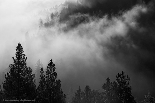
Conley-MT-Structure-2019-09-12 15.50.40 by Mike Conley LRPS

Greenough, Montana 59836 by Postmarks from Montana

Sunset, Montana by Postmarks from Montana

A late summer sunset at Paws Up by MyLifesATrip

Mountain View by Piedmont Fossil

Coloma Sunrise by schatham421

Blackfoot Fall Scene by edtkeith

Blackfoot Fall Scene by edtkeith
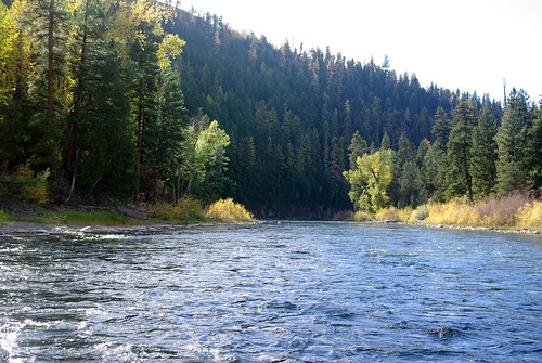
Blackfoot Fall Scene by edtkeith

#montana by LOGO

Blackfoot Fall Scene by edtkeith

Ranch Sunset by Potomac Rover

Ranch Sunset by Potomac Rover

Ranch at Sunset by Potomac Rover

Sunrise on the Blackfoot by LOGO

Sunset at Blackfoot River by LOGO

IMAG1021 by Lemonade Magnate

undefined by LOGO