Ponder Way, Cottonwood, CA アメリカ合衆国日の出日の入り時間
Location: アメリカ合衆国 > カリフォルニア州 > シャスタ > アメリカ合衆国 〒 カリフォルニア州 コットンウッド >
時間帯:
America/Los_Angeles
現地時間:
2025-06-23 20:54:21
経度:
-122.4502716
緯度:
40.3870296
今日の日の出時刻:
05:40:52 AM
今日の日の入時刻:
08:43:59 PM
今日の日長:
15h 3m 7s
明日の日の出時刻:
05:41:13 AM
明日の日の入時刻:
08:44:04 PM
明日の日長:
15h 2m 51s
すべて表示する
| 日付 | 日出 | 日没 | 日長 |
|---|---|---|---|
| 2025年01月01日 | 07:32:50 AM | 04:55:13 PM | 9h 22m 23s |
| 2025年01月02日 | 07:32:53 AM | 04:56:05 PM | 9h 23m 12s |
| 2025年01月03日 | 07:32:53 AM | 04:56:59 PM | 9h 24m 6s |
| 2025年01月04日 | 07:32:51 AM | 04:57:55 PM | 9h 25m 4s |
| 2025年01月05日 | 07:32:47 AM | 04:58:52 PM | 9h 26m 5s |
| 2025年01月06日 | 07:32:40 AM | 04:59:50 PM | 9h 27m 10s |
| 2025年01月07日 | 07:32:31 AM | 05:00:49 PM | 9h 28m 18s |
| 2025年01月08日 | 07:32:20 AM | 05:01:49 PM | 9h 29m 29s |
| 2025年01月09日 | 07:32:07 AM | 05:02:51 PM | 9h 30m 44s |
| 2025年01月10日 | 07:31:52 AM | 05:03:54 PM | 9h 32m 2s |
| 2025年01月11日 | 07:31:34 AM | 05:04:57 PM | 9h 33m 23s |
| 2025年01月12日 | 07:31:14 AM | 05:06:02 PM | 9h 34m 48s |
| 2025年01月13日 | 07:30:52 AM | 05:07:07 PM | 9h 36m 15s |
| 2025年01月14日 | 07:30:28 AM | 05:08:14 PM | 9h 37m 46s |
| 2025年01月15日 | 07:30:02 AM | 05:09:21 PM | 9h 39m 19s |
| 2025年01月16日 | 07:29:33 AM | 05:10:29 PM | 9h 40m 56s |
| 2025年01月17日 | 07:29:03 AM | 05:11:37 PM | 9h 42m 34s |
| 2025年01月18日 | 07:28:30 AM | 05:12:46 PM | 9h 44m 16s |
| 2025年01月19日 | 07:27:55 AM | 05:13:56 PM | 9h 46m 1s |
| 2025年01月20日 | 07:27:18 AM | 05:15:06 PM | 9h 47m 48s |
| 2025年01月21日 | 07:26:39 AM | 05:16:17 PM | 9h 49m 38s |
| 2025年01月22日 | 07:25:59 AM | 05:17:28 PM | 9h 51m 29s |
| 2025年01月23日 | 07:25:16 AM | 05:18:40 PM | 9h 53m 24s |
| 2025年01月24日 | 07:24:31 AM | 05:19:52 PM | 9h 55m 21s |
| 2025年01月25日 | 07:23:45 AM | 05:21:04 PM | 9h 57m 19s |
| 2025年01月26日 | 07:22:56 AM | 05:22:16 PM | 9h 59m 20s |
| 2025年01月27日 | 07:22:06 AM | 05:23:29 PM | 10h 1m 23s |
| 2025年01月28日 | 07:21:14 AM | 05:24:42 PM | 10h 3m 28s |
| 2025年01月29日 | 07:20:20 AM | 05:25:55 PM | 10h 5m 35s |
| 2025年01月30日 | 07:19:24 AM | 05:27:08 PM | 10h 7m 44s |
| 2025年01月31日 | 07:18:27 AM | 05:28:21 PM | 10h 9m 54s |
| 2025年02月01日 | 07:17:28 AM | 05:29:34 PM | 10h 12m 6s |
| 2025年02月02日 | 07:16:28 AM | 05:30:48 PM | 10h 14m 20s |
| 2025年02月03日 | 07:15:25 AM | 05:32:01 PM | 10h 16m 36s |
| 2025年02月04日 | 07:14:22 AM | 05:33:14 PM | 10h 18m 52s |
| 2025年02月05日 | 07:13:16 AM | 05:34:27 PM | 10h 21m 11s |
| 2025年02月06日 | 07:12:09 AM | 05:35:40 PM | 10h 23m 31s |
| 2025年02月07日 | 07:11:01 AM | 05:36:53 PM | 10h 25m 52s |
| 2025年02月08日 | 07:09:52 AM | 05:38:06 PM | 10h 28m 14s |
| 2025年02月09日 | 07:08:40 AM | 05:39:18 PM | 10h 30m 38s |
| 2025年02月10日 | 07:07:28 AM | 05:40:31 PM | 10h 33m 3s |
| 2025年02月11日 | 07:06:14 AM | 05:41:43 PM | 10h 35m 29s |
| 2025年02月12日 | 07:04:59 AM | 05:42:55 PM | 10h 37m 56s |
| 2025年02月13日 | 07:03:43 AM | 05:44:06 PM | 10h 40m 23s |
| 2025年02月14日 | 07:02:25 AM | 05:45:18 PM | 10h 42m 53s |
| 2025年02月15日 | 07:01:07 AM | 05:46:29 PM | 10h 45m 22s |
| 2025年02月16日 | 06:59:47 AM | 05:47:40 PM | 10h 47m 53s |
| 2025年02月17日 | 06:58:26 AM | 05:48:51 PM | 10h 50m 25s |
| 2025年02月18日 | 06:57:04 AM | 05:50:01 PM | 10h 52m 57s |
| 2025年02月19日 | 06:55:41 AM | 05:51:11 PM | 10h 55m 30s |
| 2025年02月20日 | 06:54:17 AM | 05:52:21 PM | 10h 58m 4s |
| 2025年02月21日 | 06:52:52 AM | 05:53:31 PM | 11h 0m 39s |
| 2025年02月22日 | 06:51:26 AM | 05:54:40 PM | 11h 3m 14s |
| 2025年02月23日 | 06:49:59 AM | 05:55:49 PM | 11h 5m 50s |
| 2025年02月24日 | 06:48:32 AM | 05:56:57 PM | 11h 8m 25s |
| 2025年02月25日 | 06:47:03 AM | 05:58:06 PM | 11h 11m 3s |
| 2025年02月26日 | 06:45:34 AM | 05:59:14 PM | 11h 13m 40s |
| 2025年02月27日 | 06:44:04 AM | 06:00:21 PM | 11h 16m 17s |
| 2025年02月28日 | 06:42:33 AM | 06:01:29 PM | 11h 18m 56s |
| 2025年03月01日 | 06:41:02 AM | 06:02:36 PM | 11h 21m 34s |
| 2025年03月02日 | 06:39:30 AM | 06:03:43 PM | 11h 24m 13s |
| 2025年03月03日 | 06:37:57 AM | 06:04:49 PM | 11h 26m 52s |
| 2025年03月04日 | 06:36:24 AM | 06:05:56 PM | 11h 29m 32s |
| 2025年03月05日 | 06:34:50 AM | 06:07:02 PM | 11h 32m 12s |
| 2025年03月06日 | 06:33:15 AM | 06:08:07 PM | 11h 34m 52s |
| 2025年03月07日 | 06:31:40 AM | 06:09:13 PM | 11h 37m 33s |
| 2025年03月08日 | 06:30:05 AM | 06:10:18 PM | 11h 40m 13s |
| 2025年03月09日 | 07:28:33 AM | 07:11:20 PM | 11h 42m 47s |
| 2025年03月10日 | 07:26:57 AM | 07:12:25 PM | 11h 45m 28s |
| 2025年03月11日 | 07:25:21 AM | 07:13:29 PM | 11h 48m 8s |
| 2025年03月12日 | 07:23:44 AM | 07:14:34 PM | 11h 50m 50s |
| 2025年03月13日 | 07:22:06 AM | 07:15:38 PM | 11h 53m 32s |
| 2025年03月14日 | 07:20:29 AM | 07:16:42 PM | 11h 56m 13s |
| 2025年03月15日 | 07:18:51 AM | 07:17:45 PM | 11h 58m 54s |
| 2025年03月16日 | 07:17:13 AM | 07:18:49 PM | 12h 1m 36s |
| 2025年03月17日 | 07:15:35 AM | 07:19:52 PM | 12h 4m 17s |
| 2025年03月18日 | 07:13:57 AM | 07:20:55 PM | 12h 6m 58s |
| 2025年03月19日 | 07:12:19 AM | 07:21:58 PM | 12h 9m 39s |
| 2025年03月20日 | 07:10:40 AM | 07:23:01 PM | 12h 12m 21s |
| 2025年03月21日 | 07:09:01 AM | 07:24:04 PM | 12h 15m 3s |
| 2025年03月22日 | 07:07:23 AM | 07:25:06 PM | 12h 17m 43s |
| 2025年03月23日 | 07:05:44 AM | 07:26:09 PM | 12h 20m 25s |
| 2025年03月24日 | 07:04:06 AM | 07:27:11 PM | 12h 23m 5s |
| 2025年03月25日 | 07:02:27 AM | 07:28:13 PM | 12h 25m 46s |
| 2025年03月26日 | 07:00:49 AM | 07:29:15 PM | 12h 28m 26s |
| 2025年03月27日 | 06:59:11 AM | 07:30:18 PM | 12h 31m 7s |
| 2025年03月28日 | 06:57:32 AM | 07:31:20 PM | 12h 33m 48s |
| 2025年03月29日 | 06:55:55 AM | 07:32:22 PM | 12h 36m 27s |
| 2025年03月30日 | 06:54:17 AM | 07:33:24 PM | 12h 39m 7s |
| 2025年03月31日 | 06:52:39 AM | 07:34:25 PM | 12h 41m 46s |
| 2025年04月01日 | 06:51:02 AM | 07:35:27 PM | 12h 44m 25s |
| 2025年04月02日 | 06:49:25 AM | 07:36:29 PM | 12h 47m 4s |
| 2025年04月03日 | 06:47:49 AM | 07:37:31 PM | 12h 49m 42s |
| 2025年04月04日 | 06:46:12 AM | 07:38:33 PM | 12h 52m 21s |
| 2025年04月05日 | 06:44:37 AM | 07:39:35 PM | 12h 54m 58s |
| 2025年04月06日 | 06:43:01 AM | 07:40:36 PM | 12h 57m 35s |
| 2025年04月07日 | 06:41:26 AM | 07:41:38 PM | 13h 0m 12s |
| 2025年04月08日 | 06:39:52 AM | 07:42:40 PM | 13h 2m 48s |
| 2025年04月09日 | 06:38:18 AM | 07:43:42 PM | 13h 5m 24s |
| 2025年04月10日 | 06:36:45 AM | 07:44:44 PM | 13h 7m 59s |
| 2025年04月11日 | 06:35:12 AM | 07:45:46 PM | 13h 10m 34s |
| 2025年04月12日 | 06:33:40 AM | 07:46:48 PM | 13h 13m 8s |
| 2025年04月13日 | 06:32:08 AM | 07:47:50 PM | 13h 15m 42s |
| 2025年04月14日 | 06:30:37 AM | 07:48:51 PM | 13h 18m 14s |
| 2025年04月15日 | 06:29:07 AM | 07:49:53 PM | 13h 20m 46s |
| 2025年04月16日 | 06:27:37 AM | 07:50:55 PM | 13h 23m 18s |
| 2025年04月17日 | 06:26:09 AM | 07:51:57 PM | 13h 25m 48s |
| 2025年04月18日 | 06:24:41 AM | 07:52:59 PM | 13h 28m 18s |
| 2025年04月19日 | 06:23:14 AM | 07:54:02 PM | 13h 30m 48s |
| 2025年04月20日 | 06:21:48 AM | 07:55:04 PM | 13h 33m 16s |
| 2025年04月21日 | 06:20:22 AM | 07:56:06 PM | 13h 35m 44s |
| 2025年04月22日 | 06:18:58 AM | 07:57:08 PM | 13h 38m 10s |
| 2025年04月23日 | 06:17:35 AM | 07:58:10 PM | 13h 40m 35s |
| 2025年04月24日 | 06:16:12 AM | 07:59:12 PM | 13h 43m 0s |
| 2025年04月25日 | 06:14:51 AM | 08:00:14 PM | 13h 45m 23s |
| 2025年04月26日 | 06:13:30 AM | 08:01:15 PM | 13h 47m 45s |
| 2025年04月27日 | 06:12:11 AM | 08:02:17 PM | 13h 50m 6s |
| 2025年04月28日 | 06:10:53 AM | 08:03:19 PM | 13h 52m 26s |
| 2025年04月29日 | 06:09:36 AM | 08:04:21 PM | 13h 54m 45s |
| 2025年04月30日 | 06:08:20 AM | 08:05:22 PM | 13h 57m 2s |
| 2025年05月01日 | 06:07:06 AM | 08:06:24 PM | 13h 59m 18s |
| 2025年05月02日 | 06:05:52 AM | 08:07:25 PM | 14h 1m 33s |
| 2025年05月03日 | 06:04:40 AM | 08:08:26 PM | 14h 3m 46s |
| 2025年05月04日 | 06:03:29 AM | 08:09:27 PM | 14h 5m 58s |
| 2025年05月05日 | 06:02:20 AM | 08:10:27 PM | 14h 8m 7s |
| 2025年05月06日 | 06:01:12 AM | 08:11:28 PM | 14h 10m 16s |
| 2025年05月07日 | 06:00:05 AM | 08:12:28 PM | 14h 12m 23s |
| 2025年05月08日 | 05:59:00 AM | 08:13:28 PM | 14h 14m 28s |
| 2025年05月09日 | 05:57:56 AM | 08:14:28 PM | 14h 16m 32s |
| 2025年05月10日 | 05:56:54 AM | 08:15:27 PM | 14h 18m 33s |
| 2025年05月11日 | 05:55:53 AM | 08:16:26 PM | 14h 20m 33s |
| 2025年05月12日 | 05:54:54 AM | 08:17:24 PM | 14h 22m 30s |
| 2025年05月13日 | 05:53:56 AM | 08:18:22 PM | 14h 24m 26s |
| 2025年05月14日 | 05:53:00 AM | 08:19:20 PM | 14h 26m 20s |
| 2025年05月15日 | 05:52:05 AM | 08:20:17 PM | 14h 28m 12s |
| 2025年05月16日 | 05:51:13 AM | 08:21:13 PM | 14h 30m 0s |
| 2025年05月17日 | 05:50:21 AM | 08:22:09 PM | 14h 31m 48s |
| 2025年05月18日 | 05:49:32 AM | 08:23:05 PM | 14h 33m 33s |
| 2025年05月19日 | 05:48:44 AM | 08:24:00 PM | 14h 35m 16s |
| 2025年05月20日 | 05:47:58 AM | 08:24:54 PM | 14h 36m 56s |
| 2025年05月21日 | 05:47:14 AM | 08:25:47 PM | 14h 38m 33s |
| 2025年05月22日 | 05:46:32 AM | 08:26:40 PM | 14h 40m 8s |
| 2025年05月23日 | 05:45:51 AM | 08:27:31 PM | 14h 41m 40s |
| 2025年05月24日 | 05:45:12 AM | 08:28:22 PM | 14h 43m 10s |
| 2025年05月25日 | 05:44:36 AM | 08:29:12 PM | 14h 44m 36s |
| 2025年05月26日 | 05:44:01 AM | 08:30:01 PM | 14h 46m 0s |
| 2025年05月27日 | 05:43:27 AM | 08:30:50 PM | 14h 47m 23s |
| 2025年05月28日 | 05:42:56 AM | 08:31:37 PM | 14h 48m 41s |
| 2025年05月29日 | 05:42:27 AM | 08:32:23 PM | 14h 49m 56s |
| 2025年05月30日 | 05:42:00 AM | 08:33:08 PM | 14h 51m 8s |
| 2025年05月31日 | 05:41:34 AM | 08:33:52 PM | 14h 52m 18s |
| 2025年06月01日 | 05:41:11 AM | 08:34:34 PM | 14h 53m 23s |
| 2025年06月02日 | 05:40:49 AM | 08:35:16 PM | 14h 54m 27s |
| 2025年06月03日 | 05:40:30 AM | 08:35:56 PM | 14h 55m 26s |
| 2025年06月04日 | 05:40:12 AM | 08:36:35 PM | 14h 56m 23s |
| 2025年06月05日 | 05:39:56 AM | 08:37:13 PM | 14h 57m 17s |
| 2025年06月06日 | 05:39:43 AM | 08:37:49 PM | 14h 58m 6s |
| 2025年06月07日 | 05:39:31 AM | 08:38:24 PM | 14h 58m 53s |
| 2025年06月08日 | 05:39:21 AM | 08:38:57 PM | 14h 59m 36s |
| 2025年06月09日 | 05:39:13 AM | 08:39:29 PM | 15h 0m 16s |
| 2025年06月10日 | 05:39:08 AM | 08:39:59 PM | 15h 0m 51s |
| 2025年06月11日 | 05:39:04 AM | 08:40:28 PM | 15h 1m 24s |
| 2025年06月12日 | 05:39:02 AM | 08:40:55 PM | 15h 1m 53s |
| 2025年06月13日 | 05:39:02 AM | 08:41:20 PM | 15h 2m 18s |
| 2025年06月14日 | 05:39:04 AM | 08:41:44 PM | 15h 2m 40s |
| 2025年06月15日 | 05:39:08 AM | 08:42:06 PM | 15h 2m 58s |
| 2025年06月16日 | 05:39:14 AM | 08:42:26 PM | 15h 3m 12s |
| 2025年06月17日 | 05:39:21 AM | 08:42:44 PM | 15h 3m 23s |
| 2025年06月18日 | 05:39:31 AM | 08:43:01 PM | 15h 3m 30s |
| 2025年06月19日 | 05:39:42 AM | 08:43:16 PM | 15h 3m 34s |
| 2025年06月20日 | 05:39:55 AM | 08:43:29 PM | 15h 3m 34s |
| 2025年06月21日 | 05:40:10 AM | 08:43:40 PM | 15h 3m 30s |
| 2025年06月22日 | 05:40:27 AM | 08:43:49 PM | 15h 3m 22s |
| 2025年06月23日 | 05:40:45 AM | 08:43:57 PM | 15h 3m 12s |
| 2025年06月24日 | 05:41:05 AM | 08:44:02 PM | 15h 2m 57s |
| 2025年06月25日 | 05:41:27 AM | 08:44:05 PM | 15h 2m 38s |
| 2025年06月26日 | 05:41:50 AM | 08:44:07 PM | 15h 2m 17s |
| 2025年06月27日 | 05:42:15 AM | 08:44:06 PM | 15h 1m 51s |
| 2025年06月28日 | 05:42:42 AM | 08:44:04 PM | 15h 1m 22s |
| 2025年06月29日 | 05:43:10 AM | 08:43:59 PM | 15h 0m 49s |
| 2025年06月30日 | 05:43:40 AM | 08:43:53 PM | 15h 0m 13s |
| 2025年07月01日 | 05:44:11 AM | 08:43:44 PM | 14h 59m 33s |
| 2025年07月02日 | 05:44:43 AM | 08:43:34 PM | 14h 58m 51s |
| 2025年07月03日 | 05:45:17 AM | 08:43:21 PM | 14h 58m 4s |
| 2025年07月04日 | 05:45:52 AM | 08:43:07 PM | 14h 57m 15s |
| 2025年07月05日 | 05:46:29 AM | 08:42:50 PM | 14h 56m 21s |
| 2025年07月06日 | 05:47:07 AM | 08:42:32 PM | 14h 55m 25s |
| 2025年07月07日 | 05:47:46 AM | 08:42:11 PM | 14h 54m 25s |
| 2025年07月08日 | 05:48:26 AM | 08:41:49 PM | 14h 53m 23s |
| 2025年07月09日 | 05:49:07 AM | 08:41:24 PM | 14h 52m 17s |
| 2025年07月10日 | 05:49:50 AM | 08:40:57 PM | 14h 51m 7s |
| 2025年07月11日 | 05:50:33 AM | 08:40:29 PM | 14h 49m 56s |
| 2025年07月12日 | 05:51:18 AM | 08:39:59 PM | 14h 48m 41s |
| 2025年07月13日 | 05:52:03 AM | 08:39:26 PM | 14h 47m 23s |
| 2025年07月14日 | 05:52:50 AM | 08:38:52 PM | 14h 46m 2s |
| 2025年07月15日 | 05:53:37 AM | 08:38:16 PM | 14h 44m 39s |
| 2025年07月16日 | 05:54:25 AM | 08:37:37 PM | 14h 43m 12s |
| 2025年07月17日 | 05:55:14 AM | 08:36:57 PM | 14h 41m 43s |
| 2025年07月18日 | 05:56:04 AM | 08:36:15 PM | 14h 40m 11s |
| 2025年07月19日 | 05:56:54 AM | 08:35:32 PM | 14h 38m 38s |
| 2025年07月20日 | 05:57:46 AM | 08:34:46 PM | 14h 37m 0s |
| 2025年07月21日 | 05:58:37 AM | 08:33:59 PM | 14h 35m 22s |
| 2025年07月22日 | 05:59:30 AM | 08:33:10 PM | 14h 33m 40s |
| 2025年07月23日 | 06:00:23 AM | 08:32:19 PM | 14h 31m 56s |
| 2025年07月24日 | 06:01:16 AM | 08:31:26 PM | 14h 30m 10s |
| 2025年07月25日 | 06:02:10 AM | 08:30:32 PM | 14h 28m 22s |
| 2025年07月26日 | 06:03:05 AM | 08:29:36 PM | 14h 26m 31s |
| 2025年07月27日 | 06:04:00 AM | 08:28:39 PM | 14h 24m 39s |
| 2025年07月28日 | 06:04:55 AM | 08:27:40 PM | 14h 22m 45s |
| 2025年07月29日 | 06:05:51 AM | 08:26:39 PM | 14h 20m 48s |
| 2025年07月30日 | 06:06:47 AM | 08:25:37 PM | 14h 18m 50s |
| 2025年07月31日 | 06:07:43 AM | 08:24:33 PM | 14h 16m 50s |
| 2025年08月01日 | 06:08:39 AM | 08:23:27 PM | 14h 14m 48s |
| 2025年08月02日 | 06:09:36 AM | 08:22:21 PM | 14h 12m 45s |
| 2025年08月03日 | 06:10:33 AM | 08:21:12 PM | 14h 10m 39s |
| 2025年08月04日 | 06:11:31 AM | 08:20:03 PM | 14h 8m 32s |
| 2025年08月05日 | 06:12:28 AM | 08:18:52 PM | 14h 6m 24s |
| 2025年08月06日 | 06:13:26 AM | 08:17:39 PM | 14h 4m 13s |
| 2025年08月07日 | 06:14:23 AM | 08:16:26 PM | 14h 2m 3s |
| 2025年08月08日 | 06:15:21 AM | 08:15:11 PM | 13h 59m 50s |
| 2025年08月09日 | 06:16:19 AM | 08:13:55 PM | 13h 57m 36s |
| 2025年08月10日 | 06:17:17 AM | 08:12:37 PM | 13h 55m 20s |
| 2025年08月11日 | 06:18:15 AM | 08:11:19 PM | 13h 53m 4s |
| 2025年08月12日 | 06:19:13 AM | 08:09:59 PM | 13h 50m 46s |
| 2025年08月13日 | 06:20:12 AM | 08:08:38 PM | 13h 48m 26s |
| 2025年08月14日 | 06:21:10 AM | 08:07:16 PM | 13h 46m 6s |
| 2025年08月15日 | 06:22:08 AM | 08:05:53 PM | 13h 43m 45s |
| 2025年08月16日 | 06:23:06 AM | 08:04:29 PM | 13h 41m 23s |
| 2025年08月17日 | 06:24:04 AM | 08:03:04 PM | 13h 39m 0s |
| 2025年08月18日 | 06:25:02 AM | 08:01:38 PM | 13h 36m 36s |
| 2025年08月19日 | 06:26:01 AM | 08:00:11 PM | 13h 34m 10s |
| 2025年08月20日 | 06:26:59 AM | 07:58:43 PM | 13h 31m 44s |
| 2025年08月21日 | 06:27:57 AM | 07:57:15 PM | 13h 29m 18s |
| 2025年08月22日 | 06:28:55 AM | 07:55:45 PM | 13h 26m 50s |
| 2025年08月23日 | 06:29:53 AM | 07:54:15 PM | 13h 24m 22s |
| 2025年08月24日 | 06:30:51 AM | 07:52:44 PM | 13h 21m 53s |
| 2025年08月25日 | 06:31:49 AM | 07:51:12 PM | 13h 19m 23s |
| 2025年08月26日 | 06:32:46 AM | 07:49:39 PM | 13h 16m 53s |
| 2025年08月27日 | 06:33:44 AM | 07:48:06 PM | 13h 14m 22s |
| 2025年08月28日 | 06:34:42 AM | 07:46:32 PM | 13h 11m 50s |
| 2025年08月29日 | 06:35:40 AM | 07:44:57 PM | 13h 9m 17s |
| 2025年08月30日 | 06:36:37 AM | 07:43:22 PM | 13h 6m 45s |
| 2025年08月31日 | 06:37:35 AM | 07:41:47 PM | 13h 4m 12s |
| 2025年09月01日 | 06:38:32 AM | 07:40:10 PM | 13h 1m 38s |
| 2025年09月02日 | 06:39:30 AM | 07:38:34 PM | 12h 59m 4s |
| 2025年09月03日 | 06:40:27 AM | 07:36:56 PM | 12h 56m 29s |
| 2025年09月04日 | 06:41:25 AM | 07:35:19 PM | 12h 53m 54s |
| 2025年09月05日 | 06:42:22 AM | 07:33:41 PM | 12h 51m 19s |
| 2025年09月06日 | 06:43:19 AM | 07:32:02 PM | 12h 48m 43s |
| 2025年09月07日 | 06:44:17 AM | 07:30:23 PM | 12h 46m 6s |
| 2025年09月08日 | 06:45:14 AM | 07:28:44 PM | 12h 43m 30s |
| 2025年09月09日 | 06:46:12 AM | 07:27:05 PM | 12h 40m 53s |
| 2025年09月10日 | 06:47:09 AM | 07:25:25 PM | 12h 38m 16s |
| 2025年09月11日 | 06:48:06 AM | 07:23:45 PM | 12h 35m 39s |
| 2025年09月12日 | 06:49:04 AM | 07:22:05 PM | 12h 33m 1s |
| 2025年09月13日 | 06:50:01 AM | 07:20:25 PM | 12h 30m 24s |
| 2025年09月14日 | 06:50:59 AM | 07:18:45 PM | 12h 27m 46s |
| 2025年09月15日 | 06:51:57 AM | 07:17:04 PM | 12h 25m 7s |
| 2025年09月16日 | 06:52:54 AM | 07:15:23 PM | 12h 22m 29s |
| 2025年09月17日 | 06:53:52 AM | 07:13:43 PM | 12h 19m 51s |
| 2025年09月18日 | 06:54:50 AM | 07:12:02 PM | 12h 17m 12s |
| 2025年09月19日 | 06:55:48 AM | 07:10:21 PM | 12h 14m 33s |
| 2025年09月20日 | 06:56:46 AM | 07:08:41 PM | 12h 11m 55s |
| 2025年09月21日 | 06:57:44 AM | 07:07:00 PM | 12h 9m 16s |
| 2025年09月22日 | 06:58:43 AM | 07:05:20 PM | 12h 6m 37s |
| 2025年09月23日 | 06:59:41 AM | 07:03:39 PM | 12h 3m 58s |
| 2025年09月24日 | 07:00:40 AM | 07:01:59 PM | 12h 1m 19s |
| 2025年09月25日 | 07:01:39 AM | 07:00:19 PM | 11h 58m 40s |
| 2025年09月26日 | 07:02:38 AM | 06:58:39 PM | 11h 56m 1s |
| 2025年09月27日 | 07:03:37 AM | 06:57:00 PM | 11h 53m 23s |
| 2025年09月28日 | 07:04:37 AM | 06:55:20 PM | 11h 50m 43s |
| 2025年09月29日 | 07:05:36 AM | 06:53:41 PM | 11h 48m 5s |
| 2025年09月30日 | 07:06:36 AM | 06:52:03 PM | 11h 45m 27s |
| 2025年10月01日 | 07:07:37 AM | 06:50:24 PM | 11h 42m 47s |
| 2025年10月02日 | 07:08:37 AM | 06:48:46 PM | 11h 40m 9s |
| 2025年10月03日 | 07:09:38 AM | 06:47:09 PM | 11h 37m 31s |
| 2025年10月04日 | 07:10:39 AM | 06:45:32 PM | 11h 34m 53s |
| 2025年10月05日 | 07:11:40 AM | 06:43:55 PM | 11h 32m 15s |
| 2025年10月06日 | 07:12:41 AM | 06:42:19 PM | 11h 29m 38s |
| 2025年10月07日 | 07:13:43 AM | 06:40:44 PM | 11h 27m 1s |
| 2025年10月08日 | 07:14:45 AM | 06:39:09 PM | 11h 24m 24s |
| 2025年10月09日 | 07:15:47 AM | 06:37:35 PM | 11h 21m 48s |
| 2025年10月10日 | 07:16:50 AM | 06:36:01 PM | 11h 19m 11s |
| 2025年10月11日 | 07:17:53 AM | 06:34:28 PM | 11h 16m 35s |
| 2025年10月12日 | 07:18:56 AM | 06:32:56 PM | 11h 14m 0s |
| 2025年10月13日 | 07:20:00 AM | 06:31:24 PM | 11h 11m 24s |
| 2025年10月14日 | 07:21:04 AM | 06:29:54 PM | 11h 8m 50s |
| 2025年10月15日 | 07:22:08 AM | 06:28:24 PM | 11h 6m 16s |
| 2025年10月16日 | 07:23:13 AM | 06:26:55 PM | 11h 3m 42s |
| 2025年10月17日 | 07:24:18 AM | 06:25:27 PM | 11h 1m 9s |
| 2025年10月18日 | 07:25:23 AM | 06:23:59 PM | 10h 58m 36s |
| 2025年10月19日 | 07:26:29 AM | 06:22:33 PM | 10h 56m 4s |
| 2025年10月20日 | 07:27:35 AM | 06:21:08 PM | 10h 53m 33s |
| 2025年10月21日 | 07:28:41 AM | 06:19:44 PM | 10h 51m 3s |
| 2025年10月22日 | 07:29:47 AM | 06:18:20 PM | 10h 48m 33s |
| 2025年10月23日 | 07:30:54 AM | 06:16:58 PM | 10h 46m 4s |
| 2025年10月24日 | 07:32:02 AM | 06:15:37 PM | 10h 43m 35s |
| 2025年10月25日 | 07:33:09 AM | 06:14:17 PM | 10h 41m 8s |
| 2025年10月26日 | 07:34:17 AM | 06:12:59 PM | 10h 38m 42s |
| 2025年10月27日 | 07:35:25 AM | 06:11:41 PM | 10h 36m 16s |
| 2025年10月28日 | 07:36:33 AM | 06:10:25 PM | 10h 33m 52s |
| 2025年10月29日 | 07:37:42 AM | 06:09:10 PM | 10h 31m 28s |
| 2025年10月30日 | 07:38:50 AM | 06:07:57 PM | 10h 29m 7s |
| 2025年10月31日 | 07:39:59 AM | 06:06:44 PM | 10h 26m 45s |
| 2025年11月01日 | 07:41:09 AM | 06:05:34 PM | 10h 24m 25s |
| 2025年11月02日 | 06:42:21 AM | 05:04:21 PM | 10h 22m 0s |
| 2025年11月03日 | 06:43:30 AM | 05:03:14 PM | 10h 19m 44s |
| 2025年11月04日 | 06:44:40 AM | 05:02:07 PM | 10h 17m 27s |
| 2025年11月05日 | 06:45:50 AM | 05:01:03 PM | 10h 15m 13s |
| 2025年11月06日 | 06:47:00 AM | 05:00:00 PM | 10h 13m 0s |
| 2025年11月07日 | 06:48:10 AM | 04:58:58 PM | 10h 10m 48s |
| 2025年11月08日 | 06:49:20 AM | 04:57:58 PM | 10h 8m 38s |
| 2025年11月09日 | 06:50:30 AM | 04:57:00 PM | 10h 6m 30s |
| 2025年11月10日 | 06:51:40 AM | 04:56:04 PM | 10h 4m 24s |
| 2025年11月11日 | 06:52:50 AM | 04:55:09 PM | 10h 2m 19s |
| 2025年11月12日 | 06:53:59 AM | 04:54:16 PM | 10h 0m 17s |
| 2025年11月13日 | 06:55:09 AM | 04:53:25 PM | 9h 58m 16s |
| 2025年11月14日 | 06:56:19 AM | 04:52:36 PM | 9h 56m 17s |
| 2025年11月15日 | 06:57:28 AM | 04:51:48 PM | 9h 54m 20s |
| 2025年11月16日 | 06:58:37 AM | 04:51:03 PM | 9h 52m 26s |
| 2025年11月17日 | 06:59:46 AM | 04:50:20 PM | 9h 50m 34s |
| 2025年11月18日 | 07:00:54 AM | 04:49:38 PM | 9h 48m 44s |
| 2025年11月19日 | 07:02:02 AM | 04:48:59 PM | 9h 46m 57s |
| 2025年11月20日 | 07:03:10 AM | 04:48:21 PM | 9h 45m 11s |
| 2025年11月21日 | 07:04:17 AM | 04:47:46 PM | 9h 43m 29s |
| 2025年11月22日 | 07:05:23 AM | 04:47:13 PM | 9h 41m 50s |
| 2025年11月23日 | 07:06:30 AM | 04:46:42 PM | 9h 40m 12s |
| 2025年11月24日 | 07:07:35 AM | 04:46:13 PM | 9h 38m 38s |
| 2025年11月25日 | 07:08:40 AM | 04:45:46 PM | 9h 37m 6s |
| 2025年11月26日 | 07:09:44 AM | 04:45:21 PM | 9h 35m 37s |
| 2025年11月27日 | 07:10:47 AM | 04:44:59 PM | 9h 34m 12s |
| 2025年11月28日 | 07:11:49 AM | 04:44:39 PM | 9h 32m 50s |
| 2025年11月29日 | 07:12:51 AM | 04:44:21 PM | 9h 31m 30s |
| 2025年11月30日 | 07:13:52 AM | 04:44:05 PM | 9h 30m 13s |
| 2025年12月01日 | 07:14:51 AM | 04:43:51 PM | 9h 29m 0s |
| 2025年12月02日 | 07:15:50 AM | 04:43:40 PM | 9h 27m 50s |
| 2025年12月03日 | 07:16:47 AM | 04:43:31 PM | 9h 26m 44s |
| 2025年12月04日 | 07:17:43 AM | 04:43:24 PM | 9h 25m 41s |
| 2025年12月05日 | 07:18:39 AM | 04:43:20 PM | 9h 24m 41s |
| 2025年12月06日 | 07:19:32 AM | 04:43:18 PM | 9h 23m 46s |
| 2025年12月07日 | 07:20:25 AM | 04:43:18 PM | 9h 22m 53s |
| 2025年12月08日 | 07:21:16 AM | 04:43:21 PM | 9h 22m 5s |
| 2025年12月09日 | 07:22:06 AM | 04:43:25 PM | 9h 21m 19s |
| 2025年12月10日 | 07:22:54 AM | 04:43:33 PM | 9h 20m 39s |
| 2025年12月11日 | 07:23:40 AM | 04:43:42 PM | 9h 20m 2s |
| 2025年12月12日 | 07:24:25 AM | 04:43:53 PM | 9h 19m 28s |
| 2025年12月13日 | 07:25:09 AM | 04:44:07 PM | 9h 18m 58s |
| 2025年12月14日 | 07:25:51 AM | 04:44:23 PM | 9h 18m 32s |
| 2025年12月15日 | 07:26:31 AM | 04:44:42 PM | 9h 18m 11s |
| 2025年12月16日 | 07:27:09 AM | 04:45:02 PM | 9h 17m 53s |
| 2025年12月17日 | 07:27:45 AM | 04:45:25 PM | 9h 17m 40s |
| 2025年12月18日 | 07:28:20 AM | 04:45:49 PM | 9h 17m 29s |
| 2025年12月19日 | 07:28:52 AM | 04:46:16 PM | 9h 17m 24s |
| 2025年12月20日 | 07:29:23 AM | 04:46:45 PM | 9h 17m 22s |
| 2025年12月21日 | 07:29:52 AM | 04:47:16 PM | 9h 17m 24s |
| 2025年12月22日 | 07:30:19 AM | 04:47:49 PM | 9h 17m 30s |
| 2025年12月23日 | 07:30:43 AM | 04:48:24 PM | 9h 17m 41s |
| 2025年12月24日 | 07:31:06 AM | 04:49:01 PM | 9h 17m 55s |
| 2025年12月25日 | 07:31:26 AM | 04:49:39 PM | 9h 18m 13s |
| 2025年12月26日 | 07:31:45 AM | 04:50:20 PM | 9h 18m 35s |
| 2025年12月27日 | 07:32:01 AM | 04:51:02 PM | 9h 19m 1s |
| 2025年12月28日 | 07:32:15 AM | 04:51:47 PM | 9h 19m 32s |
| 2025年12月29日 | 07:32:27 AM | 04:52:33 PM | 9h 20m 6s |
| 2025年12月30日 | 07:32:37 AM | 04:53:20 PM | 9h 20m 43s |
| 2025年12月31日 | 07:32:44 AM | 04:54:09 PM | 9h 21m 25s |
写真
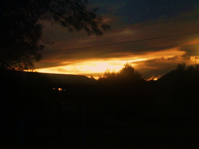
Going Nowhere
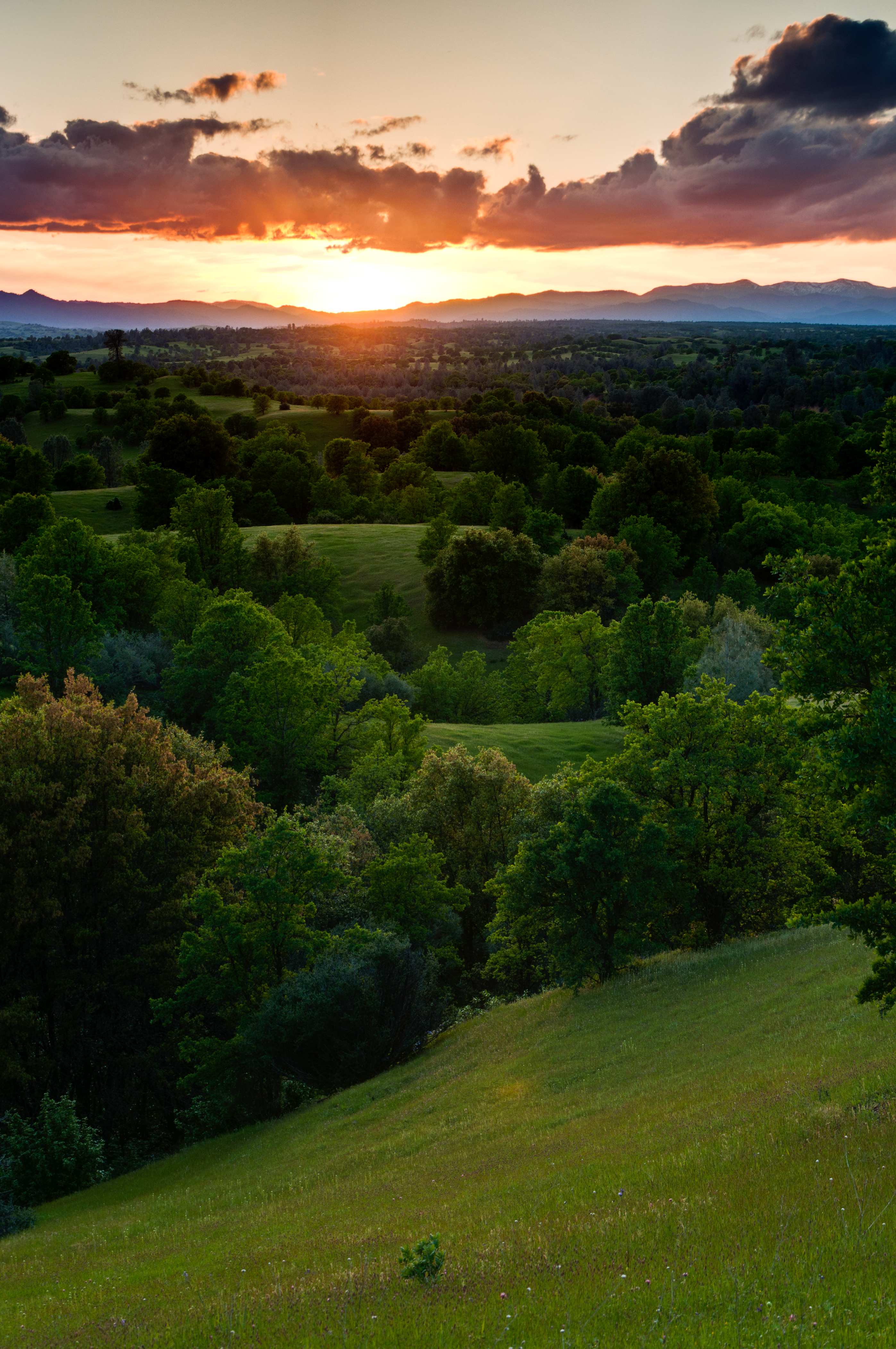
Beautiful Ending

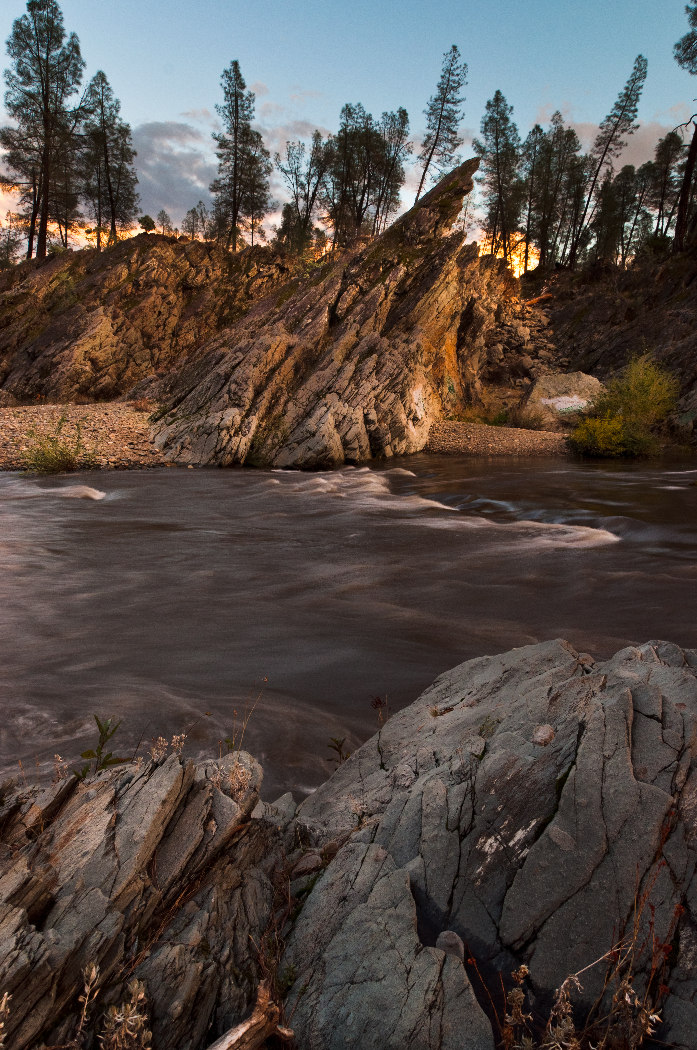
Devious Pines
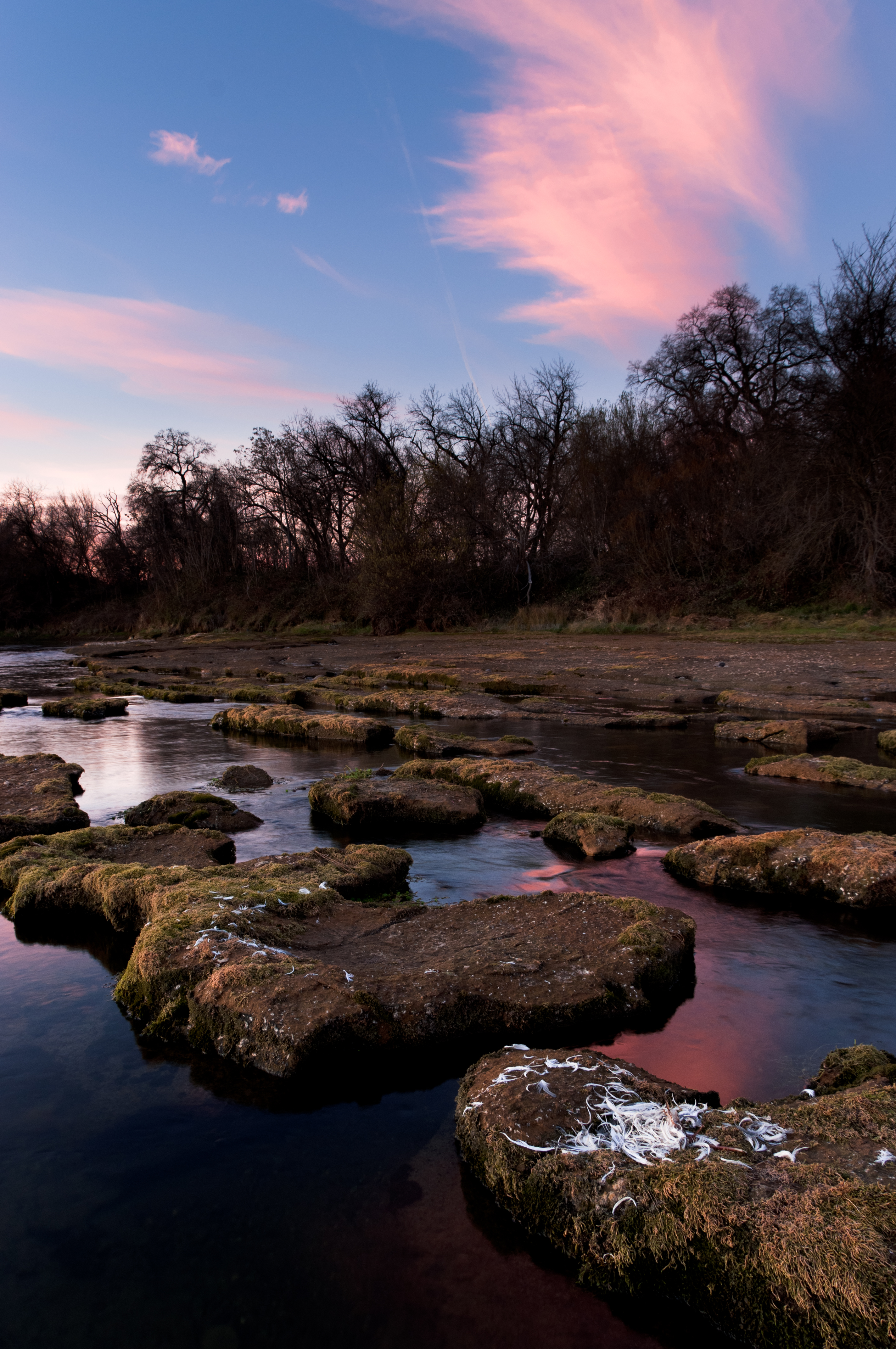
Clear Creek
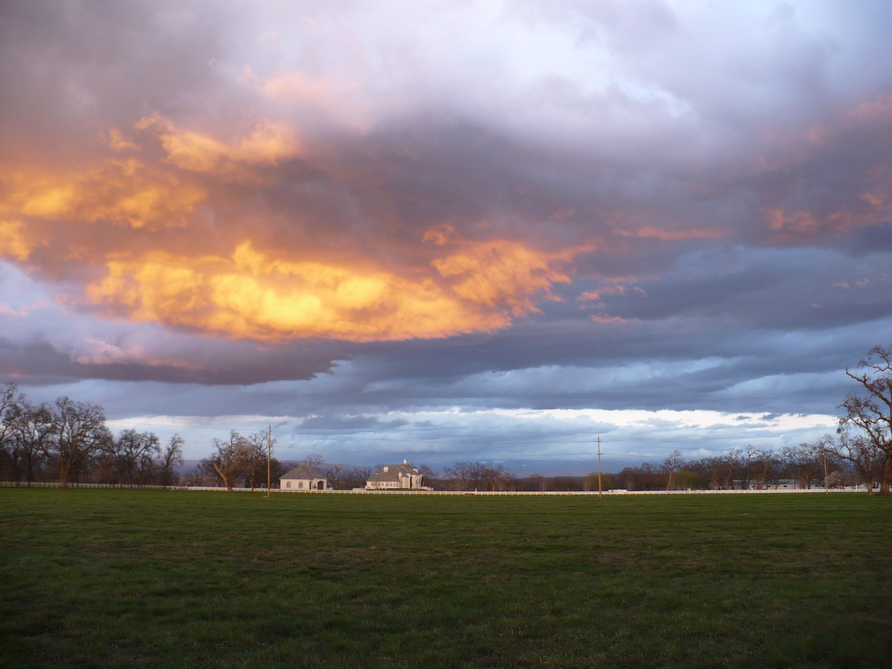
Passing storm

Interstate 5 Northbound Tehama Valley Freeway approaches at Exit 659 - Sunset Hills Road with this roadside sign located at Tehama County - South Cottonwood, California.

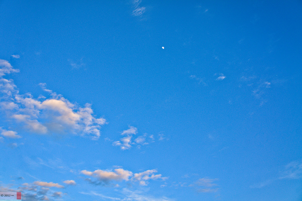
Clouds Deluxe

2017-08-25_11-18-46
In My Front Yard
A Shasta SkyLine
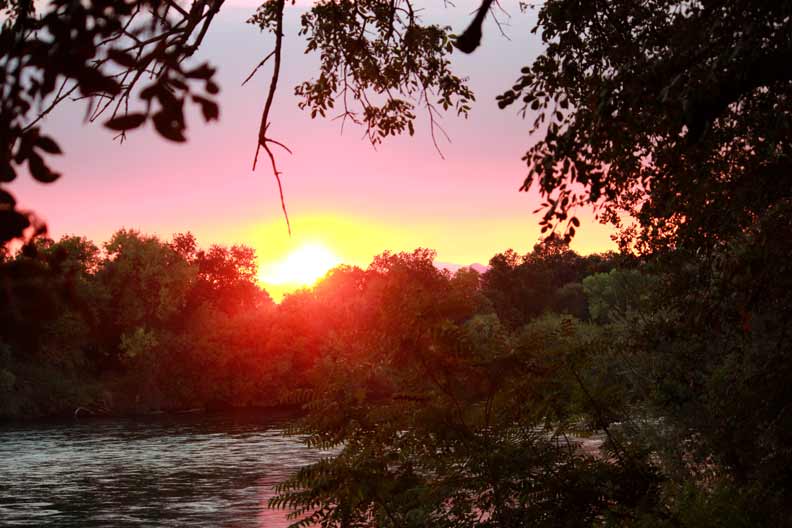
12-8607-1.jpg
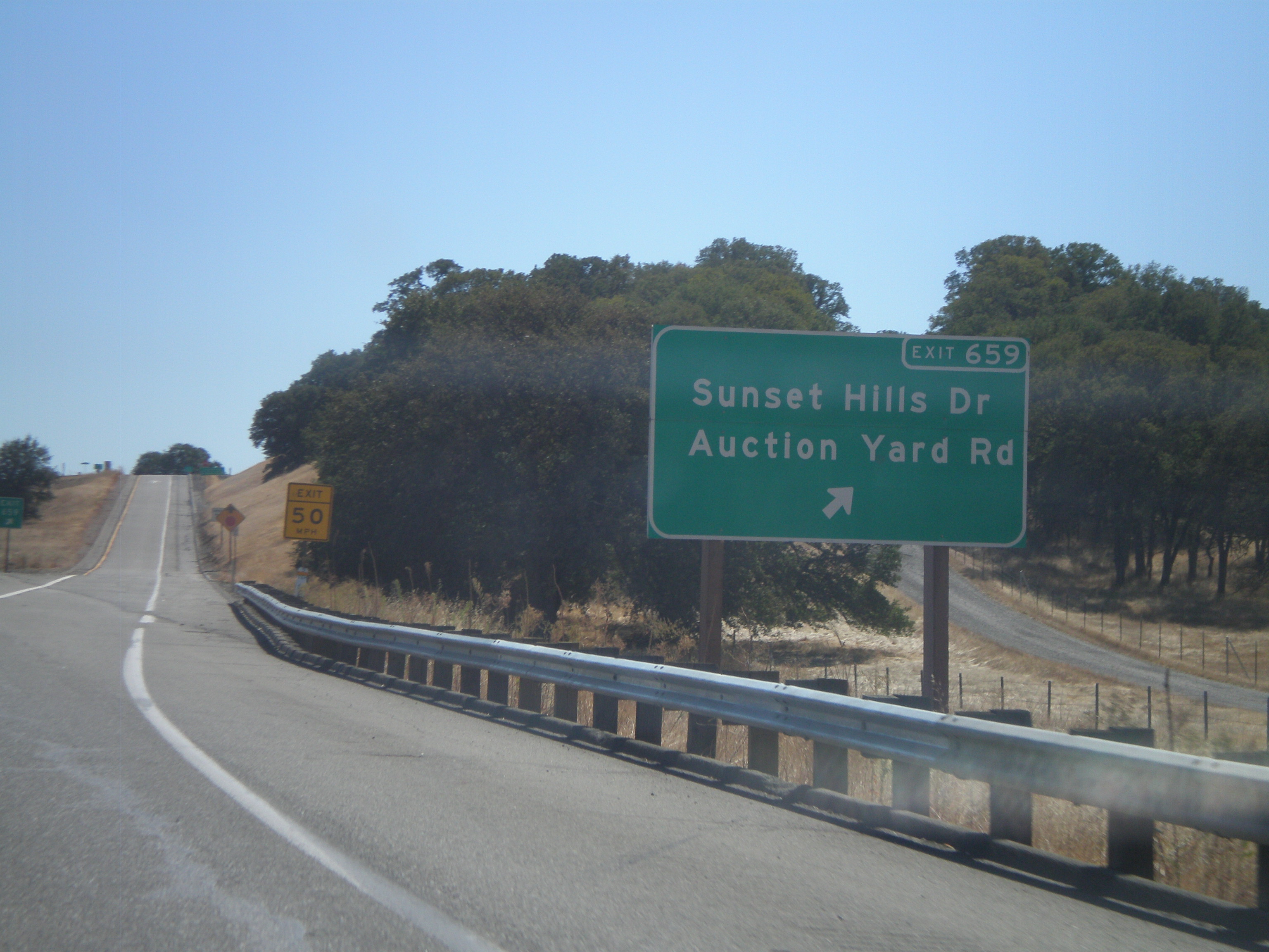
I-5 South - Exit 659
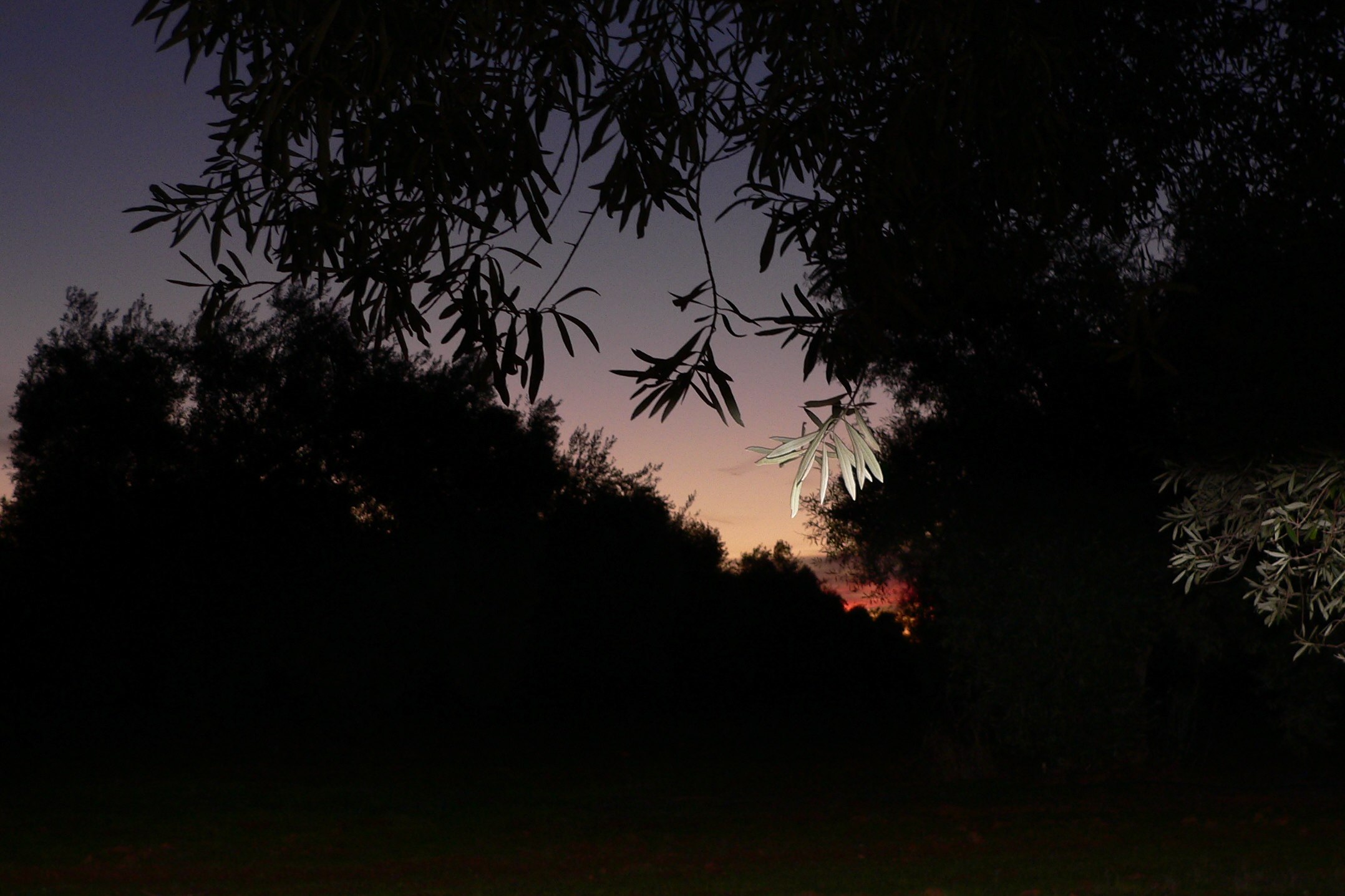
SUNRISE IN AN OLIVE ORCHARD
Ponder Way, Cottonwood, CA アメリカ合衆国の地図
別の場所を検索
近所の場所
Ponder Way, Cottonwood, CA アメリカ合衆国
Gas Point Rd, Cottonwood, CA アメリカ合衆国
Mandela Way, Anderson, CA アメリカ合衆国
Palm Ave, Anderson, CA アメリカ合衆国
Olive St, Anderson, CA アメリカ合衆国
Happy Valley Rd, Anderson, CA アメリカ合衆国
Palm Ave, Anderson, CA アメリカ合衆国
アメリカ合衆国 カリフォルニア州 ハッピー・バレー
Lower Gas Point Rd, Cottonwood, CA アメリカ合衆国
Heavenly Valley Ln, Anderson, CA アメリカ合衆国
Flowers Ln, Anderson, CA アメリカ合衆国
Small Farms Dr, Igo, CA アメリカ合衆国
Cloverdale Rd, Anderson, CA アメリカ合衆国
Cloverdale Rd, Anderson, CA アメリカ合衆国
Happy Valley Rd, Anderson, CA アメリカ合衆国
Benson Rd, Cottonwood, CA アメリカ合衆国
Bella Oaks Dr, Cottonwood, CA アメリカ合衆国
Texas Springs Rd, Redding, CA アメリカ合衆国
Deer Hollow Ct, Redding, CA アメリカ合衆国
Overland Dr, Anderson, CA アメリカ合衆国
最近の検索
- アメリカ合衆国 アラスカ州 レッド・ドッグ・マイン日の出日の入り時間
- Am bhf, Borken, ドイツアム・バーンホーフ日の出日の入り時間
- 4th St E, Sonoma, CA, USA日の出日の入り時間
- Oakland Ave, Williamsport, PA アメリカ合衆国日の出日の入り時間
- Via Roma, Pieranica CR, イタリアローマ通り日の出日の入り時間
- クロアチア 〒 ドゥブロブニク GradClock Tower of Dubrovnik日の出日の入り時間
- アルゼンチン チュブ州 トレリュー日の出日の入り時間
- Hartfords Bluff Cir, Mt Pleasant, SC アメリカ合衆国日の出日の入り時間
- 日本、熊本県熊本市北区日の出日の入り時間
- 中華人民共和国 福州市 平潭県 平潭島日の出日の入り時間