Pleasant Walk Rd, Myersville, MD アメリカ合衆国日の出日の入り時間
Location: アメリカ合衆国 > メリーランド州 > フレデリック > ジャクソン > アメリカ合衆国 〒 メリーランド州 マイヤーズビル >
時間帯:
America/New_York
現地時間:
2025-07-06 12:30:23
経度:
-77.5953554
緯度:
39.5324195
今日の日の出時刻:
05:50:30 AM
今日の日の入時刻:
08:40:22 PM
今日の日長:
14h 49m 52s
明日の日の出時刻:
05:51:09 AM
明日の日の入時刻:
08:40:02 PM
明日の日長:
14h 48m 53s
すべて表示する
| 日付 | 日出 | 日没 | 日長 |
|---|---|---|---|
| 2025年01月01日 | 07:30:52 AM | 04:58:07 PM | 9h 27m 15s |
| 2025年01月02日 | 07:30:56 AM | 04:58:58 PM | 9h 28m 2s |
| 2025年01月03日 | 07:30:57 AM | 04:59:51 PM | 9h 28m 54s |
| 2025年01月04日 | 07:30:57 AM | 05:00:45 PM | 9h 29m 48s |
| 2025年01月05日 | 07:30:54 AM | 05:01:41 PM | 9h 30m 47s |
| 2025年01月06日 | 07:30:49 AM | 05:02:37 PM | 9h 31m 48s |
| 2025年01月07日 | 07:30:42 AM | 05:03:35 PM | 9h 32m 53s |
| 2025年01月08日 | 07:30:33 AM | 05:04:34 PM | 9h 34m 1s |
| 2025年01月09日 | 07:30:22 AM | 05:05:34 PM | 9h 35m 12s |
| 2025年01月10日 | 07:30:08 AM | 05:06:35 PM | 9h 36m 27s |
| 2025年01月11日 | 07:29:52 AM | 05:07:37 PM | 9h 37m 45s |
| 2025年01月12日 | 07:29:34 AM | 05:08:40 PM | 9h 39m 6s |
| 2025年01月13日 | 07:29:14 AM | 05:09:44 PM | 9h 40m 30s |
| 2025年01月14日 | 07:28:52 AM | 05:10:49 PM | 9h 41m 57s |
| 2025年01月15日 | 07:28:28 AM | 05:11:54 PM | 9h 43m 26s |
| 2025年01月16日 | 07:28:01 AM | 05:13:00 PM | 9h 44m 59s |
| 2025年01月17日 | 07:27:33 AM | 05:14:07 PM | 9h 46m 34s |
| 2025年01月18日 | 07:27:02 AM | 05:15:14 PM | 9h 48m 12s |
| 2025年01月19日 | 07:26:30 AM | 05:16:22 PM | 9h 49m 52s |
| 2025年01月20日 | 07:25:55 AM | 05:17:31 PM | 9h 51m 36s |
| 2025年01月21日 | 07:25:19 AM | 05:18:40 PM | 9h 53m 21s |
| 2025年01月22日 | 07:24:40 AM | 05:19:49 PM | 9h 55m 9s |
| 2025年01月23日 | 07:24:00 AM | 05:20:58 PM | 9h 56m 58s |
| 2025年01月24日 | 07:23:17 AM | 05:22:08 PM | 9h 58m 51s |
| 2025年01月25日 | 07:22:33 AM | 05:23:19 PM | 10h 0m 46s |
| 2025年01月26日 | 07:21:47 AM | 05:24:29 PM | 10h 2m 42s |
| 2025年01月27日 | 07:20:59 AM | 05:25:40 PM | 10h 4m 41s |
| 2025年01月28日 | 07:20:10 AM | 05:26:51 PM | 10h 6m 41s |
| 2025年01月29日 | 07:19:18 AM | 05:28:02 PM | 10h 8m 44s |
| 2025年01月30日 | 07:18:25 AM | 05:29:13 PM | 10h 10m 48s |
| 2025年01月31日 | 07:17:30 AM | 05:30:24 PM | 10h 12m 54s |
| 2025年02月01日 | 07:16:34 AM | 05:31:35 PM | 10h 15m 1s |
| 2025年02月02日 | 07:15:36 AM | 05:32:46 PM | 10h 17m 10s |
| 2025年02月03日 | 07:14:36 AM | 05:33:57 PM | 10h 19m 21s |
| 2025年02月04日 | 07:13:35 AM | 05:35:08 PM | 10h 21m 33s |
| 2025年02月05日 | 07:12:32 AM | 05:36:19 PM | 10h 23m 47s |
| 2025年02月06日 | 07:11:28 AM | 05:37:30 PM | 10h 26m 2s |
| 2025年02月07日 | 07:10:22 AM | 05:38:40 PM | 10h 28m 18s |
| 2025年02月08日 | 07:09:15 AM | 05:39:51 PM | 10h 30m 36s |
| 2025年02月09日 | 07:08:07 AM | 05:41:01 PM | 10h 32m 54s |
| 2025年02月10日 | 07:06:57 AM | 05:42:12 PM | 10h 35m 15s |
| 2025年02月11日 | 07:05:46 AM | 05:43:21 PM | 10h 37m 35s |
| 2025年02月12日 | 07:04:33 AM | 05:44:31 PM | 10h 39m 58s |
| 2025年02月13日 | 07:03:20 AM | 05:45:41 PM | 10h 42m 21s |
| 2025年02月14日 | 07:02:05 AM | 05:46:50 PM | 10h 44m 45s |
| 2025年02月15日 | 07:00:49 AM | 05:47:59 PM | 10h 47m 10s |
| 2025年02月16日 | 06:59:31 AM | 05:49:08 PM | 10h 49m 37s |
| 2025年02月17日 | 06:58:13 AM | 05:50:16 PM | 10h 52m 3s |
| 2025年02月18日 | 06:56:54 AM | 05:51:24 PM | 10h 54m 30s |
| 2025年02月19日 | 06:55:33 AM | 05:52:32 PM | 10h 56m 59s |
| 2025年02月20日 | 06:54:12 AM | 05:53:40 PM | 10h 59m 28s |
| 2025年02月21日 | 06:52:49 AM | 05:54:47 PM | 11h 1m 58s |
| 2025年02月22日 | 06:51:26 AM | 05:55:54 PM | 11h 4m 28s |
| 2025年02月23日 | 06:50:02 AM | 05:57:01 PM | 11h 6m 59s |
| 2025年02月24日 | 06:48:37 AM | 05:58:07 PM | 11h 9m 30s |
| 2025年02月25日 | 06:47:11 AM | 05:59:13 PM | 11h 12m 2s |
| 2025年02月26日 | 06:45:44 AM | 06:00:19 PM | 11h 14m 35s |
| 2025年02月27日 | 06:44:17 AM | 06:01:24 PM | 11h 17m 7s |
| 2025年02月28日 | 06:42:49 AM | 06:02:29 PM | 11h 19m 40s |
| 2025年03月01日 | 06:41:20 AM | 06:03:34 PM | 11h 22m 14s |
| 2025年03月02日 | 06:39:50 AM | 06:04:38 PM | 11h 24m 48s |
| 2025年03月03日 | 06:38:20 AM | 06:05:43 PM | 11h 27m 23s |
| 2025年03月04日 | 06:36:49 AM | 06:06:47 PM | 11h 29m 58s |
| 2025年03月05日 | 06:35:18 AM | 06:07:50 PM | 11h 32m 32s |
| 2025年03月06日 | 06:33:46 AM | 06:08:54 PM | 11h 35m 8s |
| 2025年03月07日 | 06:32:14 AM | 06:09:57 PM | 11h 37m 43s |
| 2025年03月08日 | 06:30:41 AM | 06:11:00 PM | 11h 40m 19s |
| 2025年03月09日 | 07:29:11 AM | 07:12:00 PM | 11h 42m 49s |
| 2025年03月10日 | 07:27:38 AM | 07:13:02 PM | 11h 45m 24s |
| 2025年03月11日 | 07:26:04 AM | 07:14:04 PM | 11h 48m 0s |
| 2025年03月12日 | 07:24:29 AM | 07:15:06 PM | 11h 50m 37s |
| 2025年03月13日 | 07:22:54 AM | 07:16:08 PM | 11h 53m 14s |
| 2025年03月14日 | 07:21:19 AM | 07:17:09 PM | 11h 55m 50s |
| 2025年03月15日 | 07:19:44 AM | 07:18:10 PM | 11h 58m 26s |
| 2025年03月16日 | 07:18:09 AM | 07:19:12 PM | 12h 1m 3s |
| 2025年03月17日 | 07:16:33 AM | 07:20:12 PM | 12h 3m 39s |
| 2025年03月18日 | 07:14:57 AM | 07:21:13 PM | 12h 6m 16s |
| 2025年03月19日 | 07:13:21 AM | 07:22:14 PM | 12h 8m 53s |
| 2025年03月20日 | 07:11:45 AM | 07:23:14 PM | 12h 11m 29s |
| 2025年03月21日 | 07:10:09 AM | 07:24:15 PM | 12h 14m 6s |
| 2025年03月22日 | 07:08:33 AM | 07:25:15 PM | 12h 16m 42s |
| 2025年03月23日 | 07:06:57 AM | 07:26:15 PM | 12h 19m 18s |
| 2025年03月24日 | 07:05:21 AM | 07:27:15 PM | 12h 21m 54s |
| 2025年03月25日 | 07:03:44 AM | 07:28:15 PM | 12h 24m 31s |
| 2025年03月26日 | 07:02:08 AM | 07:29:15 PM | 12h 27m 7s |
| 2025年03月27日 | 07:00:33 AM | 07:30:14 PM | 12h 29m 41s |
| 2025年03月28日 | 06:58:57 AM | 07:31:14 PM | 12h 32m 17s |
| 2025年03月29日 | 06:57:21 AM | 07:32:14 PM | 12h 34m 53s |
| 2025年03月30日 | 06:55:46 AM | 07:33:13 PM | 12h 37m 27s |
| 2025年03月31日 | 06:54:11 AM | 07:34:13 PM | 12h 40m 2s |
| 2025年04月01日 | 06:52:36 AM | 07:35:12 PM | 12h 42m 36s |
| 2025年04月02日 | 06:51:01 AM | 07:36:12 PM | 12h 45m 11s |
| 2025年04月03日 | 06:49:27 AM | 07:37:11 PM | 12h 47m 44s |
| 2025年04月04日 | 06:47:53 AM | 07:38:10 PM | 12h 50m 17s |
| 2025年04月05日 | 06:46:19 AM | 07:39:10 PM | 12h 52m 51s |
| 2025年04月06日 | 06:44:46 AM | 07:40:09 PM | 12h 55m 23s |
| 2025年04月07日 | 06:43:14 AM | 07:41:09 PM | 12h 57m 55s |
| 2025年04月08日 | 06:41:41 AM | 07:42:08 PM | 13h 0m 27s |
| 2025年04月09日 | 06:40:10 AM | 07:43:08 PM | 13h 2m 58s |
| 2025年04月10日 | 06:38:39 AM | 07:44:07 PM | 13h 5m 28s |
| 2025年04月11日 | 06:37:08 AM | 07:45:07 PM | 13h 7m 59s |
| 2025年04月12日 | 06:35:38 AM | 07:46:06 PM | 13h 10m 28s |
| 2025年04月13日 | 06:34:09 AM | 07:47:06 PM | 13h 12m 57s |
| 2025年04月14日 | 06:32:40 AM | 07:48:06 PM | 13h 15m 26s |
| 2025年04月15日 | 06:31:12 AM | 07:49:05 PM | 13h 17m 53s |
| 2025年04月16日 | 06:29:45 AM | 07:50:05 PM | 13h 20m 20s |
| 2025年04月17日 | 06:28:18 AM | 07:51:05 PM | 13h 22m 47s |
| 2025年04月18日 | 06:26:52 AM | 07:52:04 PM | 13h 25m 12s |
| 2025年04月19日 | 06:25:27 AM | 07:53:04 PM | 13h 27m 37s |
| 2025年04月20日 | 06:24:03 AM | 07:54:04 PM | 13h 30m 1s |
| 2025年04月21日 | 06:22:40 AM | 07:55:03 PM | 13h 32m 23s |
| 2025年04月22日 | 06:21:18 AM | 07:56:03 PM | 13h 34m 45s |
| 2025年04月23日 | 06:19:56 AM | 07:57:03 PM | 13h 37m 7s |
| 2025年04月24日 | 06:18:36 AM | 07:58:03 PM | 13h 39m 27s |
| 2025年04月25日 | 06:17:16 AM | 07:59:02 PM | 13h 41m 46s |
| 2025年04月26日 | 06:15:58 AM | 08:00:02 PM | 13h 44m 4s |
| 2025年04月27日 | 06:14:41 AM | 08:01:02 PM | 13h 46m 21s |
| 2025年04月28日 | 06:13:24 AM | 08:02:01 PM | 13h 48m 37s |
| 2025年04月29日 | 06:12:09 AM | 08:03:01 PM | 13h 50m 52s |
| 2025年04月30日 | 06:10:55 AM | 08:04:00 PM | 13h 53m 5s |
| 2025年05月01日 | 06:09:43 AM | 08:04:59 PM | 13h 55m 16s |
| 2025年05月02日 | 06:08:31 AM | 08:05:59 PM | 13h 57m 28s |
| 2025年05月03日 | 06:07:21 AM | 08:06:58 PM | 13h 59m 37s |
| 2025年05月04日 | 06:06:12 AM | 08:07:56 PM | 14h 1m 44s |
| 2025年05月05日 | 06:05:04 AM | 08:08:55 PM | 14h 3m 51s |
| 2025年05月06日 | 06:03:58 AM | 08:09:53 PM | 14h 5m 55s |
| 2025年05月07日 | 06:02:53 AM | 08:10:52 PM | 14h 7m 59s |
| 2025年05月08日 | 06:01:49 AM | 08:11:50 PM | 14h 10m 1s |
| 2025年05月09日 | 06:00:47 AM | 08:12:47 PM | 14h 12m 0s |
| 2025年05月10日 | 05:59:46 AM | 08:13:45 PM | 14h 13m 59s |
| 2025年05月11日 | 05:58:47 AM | 08:14:42 PM | 14h 15m 55s |
| 2025年05月12日 | 05:57:49 AM | 08:15:38 PM | 14h 17m 49s |
| 2025年05月13日 | 05:56:53 AM | 08:16:35 PM | 14h 19m 42s |
| 2025年05月14日 | 05:55:58 AM | 08:17:31 PM | 14h 21m 33s |
| 2025年05月15日 | 05:55:05 AM | 08:18:26 PM | 14h 23m 21s |
| 2025年05月16日 | 05:54:14 AM | 08:19:21 PM | 14h 25m 7s |
| 2025年05月17日 | 05:53:24 AM | 08:20:15 PM | 14h 26m 51s |
| 2025年05月18日 | 05:52:36 AM | 08:21:09 PM | 14h 28m 33s |
| 2025年05月19日 | 05:51:50 AM | 08:22:02 PM | 14h 30m 12s |
| 2025年05月20日 | 05:51:05 AM | 08:22:55 PM | 14h 31m 50s |
| 2025年05月21日 | 05:50:22 AM | 08:23:47 PM | 14h 33m 25s |
| 2025年05月22日 | 05:49:41 AM | 08:24:38 PM | 14h 34m 57s |
| 2025年05月23日 | 05:49:01 AM | 08:25:28 PM | 14h 36m 27s |
| 2025年05月24日 | 05:48:23 AM | 08:26:18 PM | 14h 37m 55s |
| 2025年05月25日 | 05:47:48 AM | 08:27:07 PM | 14h 39m 19s |
| 2025年05月26日 | 05:47:13 AM | 08:27:55 PM | 14h 40m 42s |
| 2025年05月27日 | 05:46:41 AM | 08:28:42 PM | 14h 42m 1s |
| 2025年05月28日 | 05:46:11 AM | 08:29:28 PM | 14h 43m 17s |
| 2025年05月29日 | 05:45:42 AM | 08:30:13 PM | 14h 44m 31s |
| 2025年05月30日 | 05:45:16 AM | 08:30:57 PM | 14h 45m 41s |
| 2025年05月31日 | 05:44:51 AM | 08:31:40 PM | 14h 46m 49s |
| 2025年06月01日 | 05:44:28 AM | 08:32:22 PM | 14h 47m 54s |
| 2025年06月02日 | 05:44:07 AM | 08:33:02 PM | 14h 48m 55s |
| 2025年06月03日 | 05:43:48 AM | 08:33:42 PM | 14h 49m 54s |
| 2025年06月04日 | 05:43:31 AM | 08:34:20 PM | 14h 50m 49s |
| 2025年06月05日 | 05:43:16 AM | 08:34:57 PM | 14h 51m 41s |
| 2025年06月06日 | 05:43:03 AM | 08:35:33 PM | 14h 52m 30s |
| 2025年06月07日 | 05:42:51 AM | 08:36:07 PM | 14h 53m 16s |
| 2025年06月08日 | 05:42:42 AM | 08:36:40 PM | 14h 53m 58s |
| 2025年06月09日 | 05:42:34 AM | 08:37:11 PM | 14h 54m 37s |
| 2025年06月10日 | 05:42:29 AM | 08:37:41 PM | 14h 55m 12s |
| 2025年06月11日 | 05:42:25 AM | 08:38:10 PM | 14h 55m 45s |
| 2025年06月12日 | 05:42:23 AM | 08:38:37 PM | 14h 56m 14s |
| 2025年06月13日 | 05:42:23 AM | 08:39:02 PM | 14h 56m 39s |
| 2025年06月14日 | 05:42:25 AM | 08:39:26 PM | 14h 57m 1s |
| 2025年06月15日 | 05:42:29 AM | 08:39:48 PM | 14h 57m 19s |
| 2025年06月16日 | 05:42:34 AM | 08:40:08 PM | 14h 57m 34s |
| 2025年06月17日 | 05:42:42 AM | 08:40:27 PM | 14h 57m 45s |
| 2025年06月18日 | 05:42:51 AM | 08:40:44 PM | 14h 57m 53s |
| 2025年06月19日 | 05:43:02 AM | 08:40:59 PM | 14h 57m 57s |
| 2025年06月20日 | 05:43:14 AM | 08:41:13 PM | 14h 57m 59s |
| 2025年06月21日 | 05:43:29 AM | 08:41:25 PM | 14h 57m 56s |
| 2025年06月22日 | 05:43:45 AM | 08:41:34 PM | 14h 57m 49s |
| 2025年06月23日 | 05:44:03 AM | 08:41:42 PM | 14h 57m 39s |
| 2025年06月24日 | 05:44:22 AM | 08:41:48 PM | 14h 57m 26s |
| 2025年06月25日 | 05:44:43 AM | 08:41:53 PM | 14h 57m 10s |
| 2025年06月26日 | 05:45:06 AM | 08:41:55 PM | 14h 56m 49s |
| 2025年06月27日 | 05:45:30 AM | 08:41:55 PM | 14h 56m 25s |
| 2025年06月28日 | 05:45:56 AM | 08:41:54 PM | 14h 55m 58s |
| 2025年06月29日 | 05:46:23 AM | 08:41:50 PM | 14h 55m 27s |
| 2025年06月30日 | 05:46:52 AM | 08:41:45 PM | 14h 54m 53s |
| 2025年07月01日 | 05:47:22 AM | 08:41:38 PM | 14h 54m 16s |
| 2025年07月02日 | 05:47:53 AM | 08:41:28 PM | 14h 53m 35s |
| 2025年07月03日 | 05:48:26 AM | 08:41:17 PM | 14h 52m 51s |
| 2025年07月04日 | 05:49:00 AM | 08:41:04 PM | 14h 52m 4s |
| 2025年07月05日 | 05:49:35 AM | 08:40:49 PM | 14h 51m 14s |
| 2025年07月06日 | 05:50:12 AM | 08:40:32 PM | 14h 50m 20s |
| 2025年07月07日 | 05:50:49 AM | 08:40:13 PM | 14h 49m 24s |
| 2025年07月08日 | 05:51:28 AM | 08:39:52 PM | 14h 48m 24s |
| 2025年07月09日 | 05:52:08 AM | 08:39:29 PM | 14h 47m 21s |
| 2025年07月10日 | 05:52:49 AM | 08:39:04 PM | 14h 46m 15s |
| 2025年07月11日 | 05:53:31 AM | 08:38:37 PM | 14h 45m 6s |
| 2025年07月12日 | 05:54:14 AM | 08:38:08 PM | 14h 43m 54s |
| 2025年07月13日 | 05:54:58 AM | 08:37:38 PM | 14h 42m 40s |
| 2025年07月14日 | 05:55:43 AM | 08:37:05 PM | 14h 41m 22s |
| 2025年07月15日 | 05:56:29 AM | 08:36:31 PM | 14h 40m 2s |
| 2025年07月16日 | 05:57:15 AM | 08:35:54 PM | 14h 38m 39s |
| 2025年07月17日 | 05:58:03 AM | 08:35:16 PM | 14h 37m 13s |
| 2025年07月18日 | 05:58:51 AM | 08:34:37 PM | 14h 35m 46s |
| 2025年07月19日 | 05:59:39 AM | 08:33:55 PM | 14h 34m 16s |
| 2025年07月20日 | 06:00:29 AM | 08:33:11 PM | 14h 32m 42s |
| 2025年07月21日 | 06:01:19 AM | 08:32:26 PM | 14h 31m 7s |
| 2025年07月22日 | 06:02:09 AM | 08:31:39 PM | 14h 29m 30s |
| 2025年07月23日 | 06:03:01 AM | 08:30:50 PM | 14h 27m 49s |
| 2025年07月24日 | 06:03:52 AM | 08:30:00 PM | 14h 26m 8s |
| 2025年07月25日 | 06:04:44 AM | 08:29:08 PM | 14h 24m 24s |
| 2025年07月26日 | 06:05:37 AM | 08:28:14 PM | 14h 22m 37s |
| 2025年07月27日 | 06:06:30 AM | 08:27:19 PM | 14h 20m 49s |
| 2025年07月28日 | 06:07:23 AM | 08:26:22 PM | 14h 18m 59s |
| 2025年07月29日 | 06:08:17 AM | 08:25:24 PM | 14h 17m 7s |
| 2025年07月30日 | 06:09:11 AM | 08:24:24 PM | 14h 15m 13s |
| 2025年07月31日 | 06:10:05 AM | 08:23:22 PM | 14h 13m 17s |
| 2025年08月01日 | 06:11:00 AM | 08:22:19 PM | 14h 11m 19s |
| 2025年08月02日 | 06:11:54 AM | 08:21:15 PM | 14h 9m 21s |
| 2025年08月03日 | 06:12:49 AM | 08:20:09 PM | 14h 7m 20s |
| 2025年08月04日 | 06:13:45 AM | 08:19:02 PM | 14h 5m 17s |
| 2025年08月05日 | 06:14:40 AM | 08:17:53 PM | 14h 3m 13s |
| 2025年08月06日 | 06:15:35 AM | 08:16:43 PM | 14h 1m 8s |
| 2025年08月07日 | 06:16:31 AM | 08:15:32 PM | 13h 59m 1s |
| 2025年08月08日 | 06:17:27 AM | 08:14:19 PM | 13h 56m 52s |
| 2025年08月09日 | 06:18:23 AM | 08:13:06 PM | 13h 54m 43s |
| 2025年08月10日 | 06:19:18 AM | 08:11:51 PM | 13h 52m 33s |
| 2025年08月11日 | 06:20:14 AM | 08:10:34 PM | 13h 50m 20s |
| 2025年08月12日 | 06:21:10 AM | 08:09:17 PM | 13h 48m 7s |
| 2025年08月13日 | 06:22:06 AM | 08:07:59 PM | 13h 45m 53s |
| 2025年08月14日 | 06:23:02 AM | 08:06:39 PM | 13h 43m 37s |
| 2025年08月15日 | 06:23:58 AM | 08:05:19 PM | 13h 41m 21s |
| 2025年08月16日 | 06:24:54 AM | 08:03:57 PM | 13h 39m 3s |
| 2025年08月17日 | 06:25:50 AM | 08:02:35 PM | 13h 36m 45s |
| 2025年08月18日 | 06:26:46 AM | 08:01:11 PM | 13h 34m 25s |
| 2025年08月19日 | 06:27:42 AM | 07:59:47 PM | 13h 32m 5s |
| 2025年08月20日 | 06:28:38 AM | 07:58:21 PM | 13h 29m 43s |
| 2025年08月21日 | 06:29:34 AM | 07:56:55 PM | 13h 27m 21s |
| 2025年08月22日 | 06:30:30 AM | 07:55:28 PM | 13h 24m 58s |
| 2025年08月23日 | 06:31:25 AM | 07:54:00 PM | 13h 22m 35s |
| 2025年08月24日 | 06:32:21 AM | 07:52:31 PM | 13h 20m 10s |
| 2025年08月25日 | 06:33:17 AM | 07:51:02 PM | 13h 17m 45s |
| 2025年08月26日 | 06:34:12 AM | 07:49:32 PM | 13h 15m 20s |
| 2025年08月27日 | 06:35:08 AM | 07:48:01 PM | 13h 12m 53s |
| 2025年08月28日 | 06:36:03 AM | 07:46:30 PM | 13h 10m 27s |
| 2025年08月29日 | 06:36:58 AM | 07:44:58 PM | 13h 8m 0s |
| 2025年08月30日 | 06:37:54 AM | 07:43:25 PM | 13h 5m 31s |
| 2025年08月31日 | 06:38:49 AM | 07:41:52 PM | 13h 3m 3s |
| 2025年09月01日 | 06:39:44 AM | 07:40:18 PM | 13h 0m 34s |
| 2025年09月02日 | 06:40:39 AM | 07:38:44 PM | 12h 58m 5s |
| 2025年09月03日 | 06:41:34 AM | 07:37:09 PM | 12h 55m 35s |
| 2025年09月04日 | 06:42:29 AM | 07:35:34 PM | 12h 53m 5s |
| 2025年09月05日 | 06:43:24 AM | 07:33:58 PM | 12h 50m 34s |
| 2025年09月06日 | 06:44:20 AM | 07:32:22 PM | 12h 48m 2s |
| 2025年09月07日 | 06:45:15 AM | 07:30:46 PM | 12h 45m 31s |
| 2025年09月08日 | 06:46:10 AM | 07:29:09 PM | 12h 42m 59s |
| 2025年09月09日 | 06:47:05 AM | 07:27:32 PM | 12h 40m 27s |
| 2025年09月10日 | 06:48:00 AM | 07:25:55 PM | 12h 37m 55s |
| 2025年09月11日 | 06:48:55 AM | 07:24:17 PM | 12h 35m 22s |
| 2025年09月12日 | 06:49:50 AM | 07:22:40 PM | 12h 32m 50s |
| 2025年09月13日 | 06:50:45 AM | 07:21:02 PM | 12h 30m 17s |
| 2025年09月14日 | 06:51:40 AM | 07:19:24 PM | 12h 27m 44s |
| 2025年09月15日 | 06:52:35 AM | 07:17:46 PM | 12h 25m 11s |
| 2025年09月16日 | 06:53:31 AM | 07:16:07 PM | 12h 22m 36s |
| 2025年09月17日 | 06:54:26 AM | 07:14:29 PM | 12h 20m 3s |
| 2025年09月18日 | 06:55:22 AM | 07:12:51 PM | 12h 17m 29s |
| 2025年09月19日 | 06:56:17 AM | 07:11:12 PM | 12h 14m 55s |
| 2025年09月20日 | 06:57:13 AM | 07:09:34 PM | 12h 12m 21s |
| 2025年09月21日 | 06:58:09 AM | 07:07:56 PM | 12h 9m 47s |
| 2025年09月22日 | 06:59:05 AM | 07:06:18 PM | 12h 7m 13s |
| 2025年09月23日 | 07:00:01 AM | 07:04:40 PM | 12h 4m 39s |
| 2025年09月24日 | 07:00:57 AM | 07:03:02 PM | 12h 2m 5s |
| 2025年09月25日 | 07:01:54 AM | 07:01:24 PM | 11h 59m 30s |
| 2025年09月26日 | 07:02:50 AM | 06:59:47 PM | 11h 56m 57s |
| 2025年09月27日 | 07:03:47 AM | 06:58:09 PM | 11h 54m 22s |
| 2025年09月28日 | 07:04:44 AM | 06:56:32 PM | 11h 51m 48s |
| 2025年09月29日 | 07:05:42 AM | 06:54:55 PM | 11h 49m 13s |
| 2025年09月30日 | 07:06:39 AM | 06:53:19 PM | 11h 46m 40s |
| 2025年10月01日 | 07:07:37 AM | 06:51:43 PM | 11h 44m 6s |
| 2025年10月02日 | 07:08:35 AM | 06:50:07 PM | 11h 41m 32s |
| 2025年10月03日 | 07:09:33 AM | 06:48:32 PM | 11h 38m 59s |
| 2025年10月04日 | 07:10:31 AM | 06:46:57 PM | 11h 36m 26s |
| 2025年10月05日 | 07:11:30 AM | 06:45:23 PM | 11h 33m 53s |
| 2025年10月06日 | 07:12:29 AM | 06:43:49 PM | 11h 31m 20s |
| 2025年10月07日 | 07:13:29 AM | 06:42:16 PM | 11h 28m 47s |
| 2025年10月08日 | 07:14:28 AM | 06:40:43 PM | 11h 26m 15s |
| 2025年10月09日 | 07:15:28 AM | 06:39:11 PM | 11h 23m 43s |
| 2025年10月10日 | 07:16:28 AM | 06:37:40 PM | 11h 21m 12s |
| 2025年10月11日 | 07:17:29 AM | 06:36:09 PM | 11h 18m 40s |
| 2025年10月12日 | 07:18:30 AM | 06:34:39 PM | 11h 16m 9s |
| 2025年10月13日 | 07:19:31 AM | 06:33:10 PM | 11h 13m 39s |
| 2025年10月14日 | 07:20:33 AM | 06:31:41 PM | 11h 11m 8s |
| 2025年10月15日 | 07:21:35 AM | 06:30:14 PM | 11h 8m 39s |
| 2025年10月16日 | 07:22:37 AM | 06:28:47 PM | 11h 6m 10s |
| 2025年10月17日 | 07:23:39 AM | 06:27:21 PM | 11h 3m 42s |
| 2025年10月18日 | 07:24:42 AM | 06:25:55 PM | 11h 1m 13s |
| 2025年10月19日 | 07:25:45 AM | 06:24:31 PM | 10h 58m 46s |
| 2025年10月20日 | 07:26:49 AM | 06:23:08 PM | 10h 56m 19s |
| 2025年10月21日 | 07:27:53 AM | 06:21:46 PM | 10h 53m 53s |
| 2025年10月22日 | 07:28:57 AM | 06:20:25 PM | 10h 51m 28s |
| 2025年10月23日 | 07:30:01 AM | 06:19:04 PM | 10h 49m 3s |
| 2025年10月24日 | 07:31:06 AM | 06:17:45 PM | 10h 46m 39s |
| 2025年10月25日 | 07:32:11 AM | 06:16:28 PM | 10h 44m 17s |
| 2025年10月26日 | 07:33:17 AM | 06:15:11 PM | 10h 41m 54s |
| 2025年10月27日 | 07:34:22 AM | 06:13:55 PM | 10h 39m 33s |
| 2025年10月28日 | 07:35:28 AM | 06:12:41 PM | 10h 37m 13s |
| 2025年10月29日 | 07:36:35 AM | 06:11:28 PM | 10h 34m 53s |
| 2025年10月30日 | 07:37:41 AM | 06:10:16 PM | 10h 32m 35s |
| 2025年10月31日 | 07:38:48 AM | 06:09:06 PM | 10h 30m 18s |
| 2025年11月01日 | 07:39:55 AM | 06:07:57 PM | 10h 28m 2s |
| 2025年11月02日 | 06:41:05 AM | 05:06:47 PM | 10h 25m 42s |
| 2025年11月03日 | 06:42:12 AM | 05:05:41 PM | 10h 23m 29s |
| 2025年11月04日 | 06:43:20 AM | 05:04:36 PM | 10h 21m 16s |
| 2025年11月05日 | 06:44:27 AM | 05:03:33 PM | 10h 19m 6s |
| 2025年11月06日 | 06:45:35 AM | 05:02:32 PM | 10h 16m 57s |
| 2025年11月07日 | 06:46:43 AM | 05:01:32 PM | 10h 14m 49s |
| 2025年11月08日 | 06:47:51 AM | 05:00:34 PM | 10h 12m 43s |
| 2025年11月09日 | 06:48:59 AM | 04:59:37 PM | 10h 10m 38s |
| 2025年11月10日 | 06:50:07 AM | 04:58:43 PM | 10h 8m 36s |
| 2025年11月11日 | 06:51:15 AM | 04:57:49 PM | 10h 6m 34s |
| 2025年11月12日 | 06:52:23 AM | 04:56:58 PM | 10h 4m 35s |
| 2025年11月13日 | 06:53:30 AM | 04:56:08 PM | 10h 2m 38s |
| 2025年11月14日 | 06:54:38 AM | 04:55:21 PM | 10h 0m 43s |
| 2025年11月15日 | 06:55:45 AM | 04:54:35 PM | 9h 58m 50s |
| 2025年11月16日 | 06:56:53 AM | 04:53:51 PM | 9h 56m 58s |
| 2025年11月17日 | 06:58:00 AM | 04:53:09 PM | 9h 55m 9s |
| 2025年11月18日 | 06:59:06 AM | 04:52:29 PM | 9h 53m 23s |
| 2025年11月19日 | 07:00:13 AM | 04:51:50 PM | 9h 51m 37s |
| 2025年11月20日 | 07:01:19 AM | 04:51:14 PM | 9h 49m 55s |
| 2025年11月21日 | 07:02:24 AM | 04:50:40 PM | 9h 48m 16s |
| 2025年11月22日 | 07:03:29 AM | 04:50:08 PM | 9h 46m 39s |
| 2025年11月23日 | 07:04:34 AM | 04:49:38 PM | 9h 45m 4s |
| 2025年11月24日 | 07:05:38 AM | 04:49:10 PM | 9h 43m 32s |
| 2025年11月25日 | 07:06:41 AM | 04:48:44 PM | 9h 42m 3s |
| 2025年11月26日 | 07:07:44 AM | 04:48:20 PM | 9h 40m 36s |
| 2025年11月27日 | 07:08:46 AM | 04:47:59 PM | 9h 39m 13s |
| 2025年11月28日 | 07:09:48 AM | 04:47:39 PM | 9h 37m 51s |
| 2025年11月29日 | 07:10:48 AM | 04:47:22 PM | 9h 36m 34s |
| 2025年11月30日 | 07:11:48 AM | 04:47:07 PM | 9h 35m 19s |
| 2025年12月01日 | 07:12:46 AM | 04:46:54 PM | 9h 34m 8s |
| 2025年12月02日 | 07:13:44 AM | 04:46:44 PM | 9h 33m 0s |
| 2025年12月03日 | 07:14:40 AM | 04:46:35 PM | 9h 31m 55s |
| 2025年12月04日 | 07:15:36 AM | 04:46:29 PM | 9h 30m 53s |
| 2025年12月05日 | 07:16:30 AM | 04:46:25 PM | 9h 29m 55s |
| 2025年12月06日 | 07:17:23 AM | 04:46:24 PM | 9h 29m 1s |
| 2025年12月07日 | 07:18:15 AM | 04:46:24 PM | 9h 28m 9s |
| 2025年12月08日 | 07:19:06 AM | 04:46:27 PM | 9h 27m 21s |
| 2025年12月09日 | 07:19:55 AM | 04:46:32 PM | 9h 26m 37s |
| 2025年12月10日 | 07:20:43 AM | 04:46:39 PM | 9h 25m 56s |
| 2025年12月11日 | 07:21:29 AM | 04:46:48 PM | 9h 25m 19s |
| 2025年12月12日 | 07:22:14 AM | 04:47:00 PM | 9h 24m 46s |
| 2025年12月13日 | 07:22:58 AM | 04:47:14 PM | 9h 24m 16s |
| 2025年12月14日 | 07:23:39 AM | 04:47:30 PM | 9h 23m 51s |
| 2025年12月15日 | 07:24:19 AM | 04:47:48 PM | 9h 23m 29s |
| 2025年12月16日 | 07:24:58 AM | 04:48:08 PM | 9h 23m 10s |
| 2025年12月17日 | 07:25:34 AM | 04:48:30 PM | 9h 22m 56s |
| 2025年12月18日 | 07:26:09 AM | 04:48:55 PM | 9h 22m 46s |
| 2025年12月19日 | 07:26:42 AM | 04:49:21 PM | 9h 22m 39s |
| 2025年12月20日 | 07:27:13 AM | 04:49:50 PM | 9h 22m 37s |
| 2025年12月21日 | 07:27:43 AM | 04:50:20 PM | 9h 22m 37s |
| 2025年12月22日 | 07:28:10 AM | 04:50:52 PM | 9h 22m 42s |
| 2025年12月23日 | 07:28:35 AM | 04:51:27 PM | 9h 22m 52s |
| 2025年12月24日 | 07:28:59 AM | 04:52:03 PM | 9h 23m 4s |
| 2025年12月25日 | 07:29:20 AM | 04:52:41 PM | 9h 23m 21s |
| 2025年12月26日 | 07:29:39 AM | 04:53:21 PM | 9h 23m 42s |
| 2025年12月27日 | 07:29:56 AM | 04:54:02 PM | 9h 24m 6s |
| 2025年12月28日 | 07:30:11 AM | 04:54:45 PM | 9h 24m 34s |
| 2025年12月29日 | 07:30:24 AM | 04:55:30 PM | 9h 25m 6s |
| 2025年12月30日 | 07:30:35 AM | 04:56:17 PM | 9h 25m 42s |
| 2025年12月31日 | 07:30:44 AM | 04:57:05 PM | 9h 26m 21s |
写真

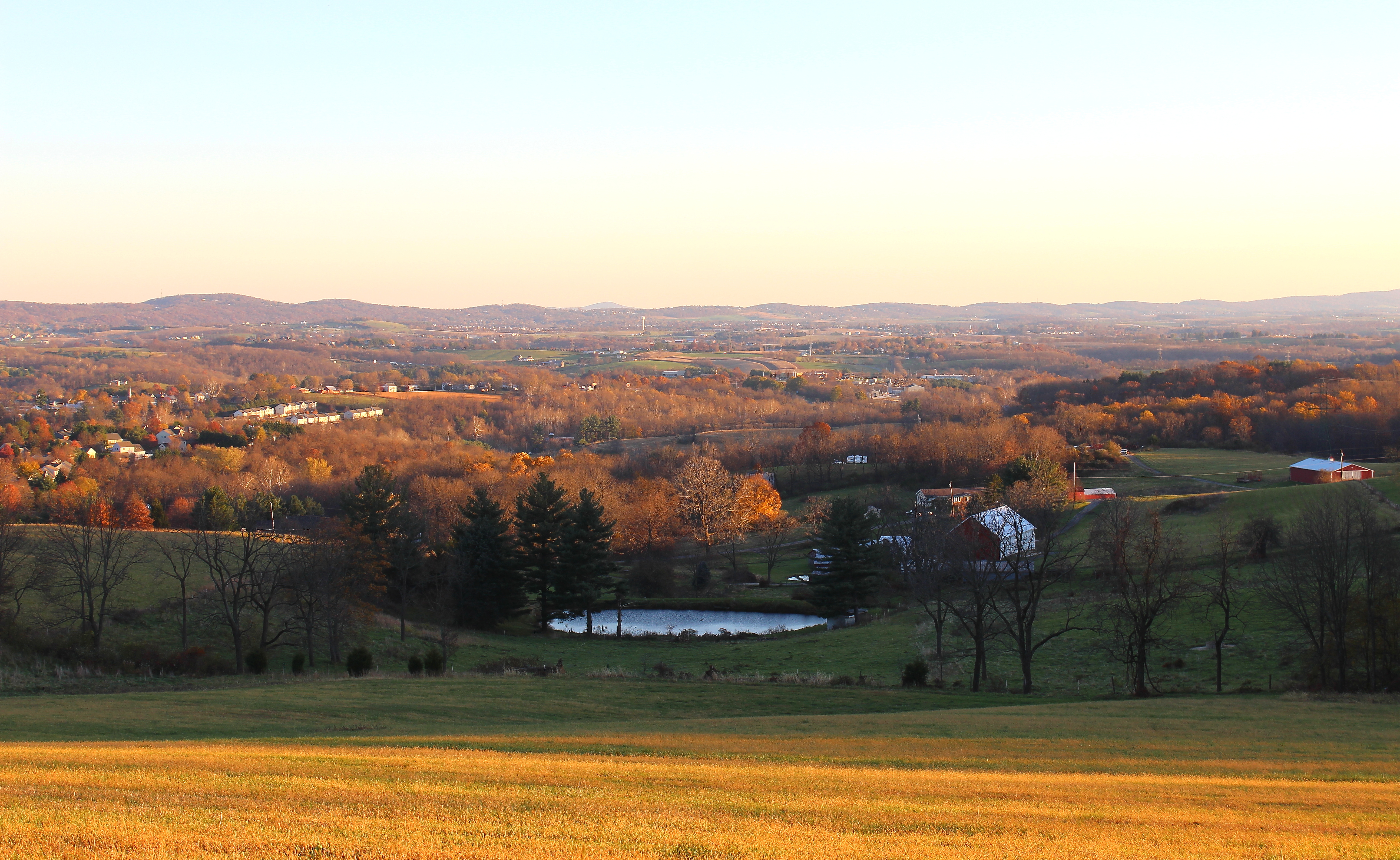
Sundown over Greenbrier Lake at Greenbrier State Park, Maryland
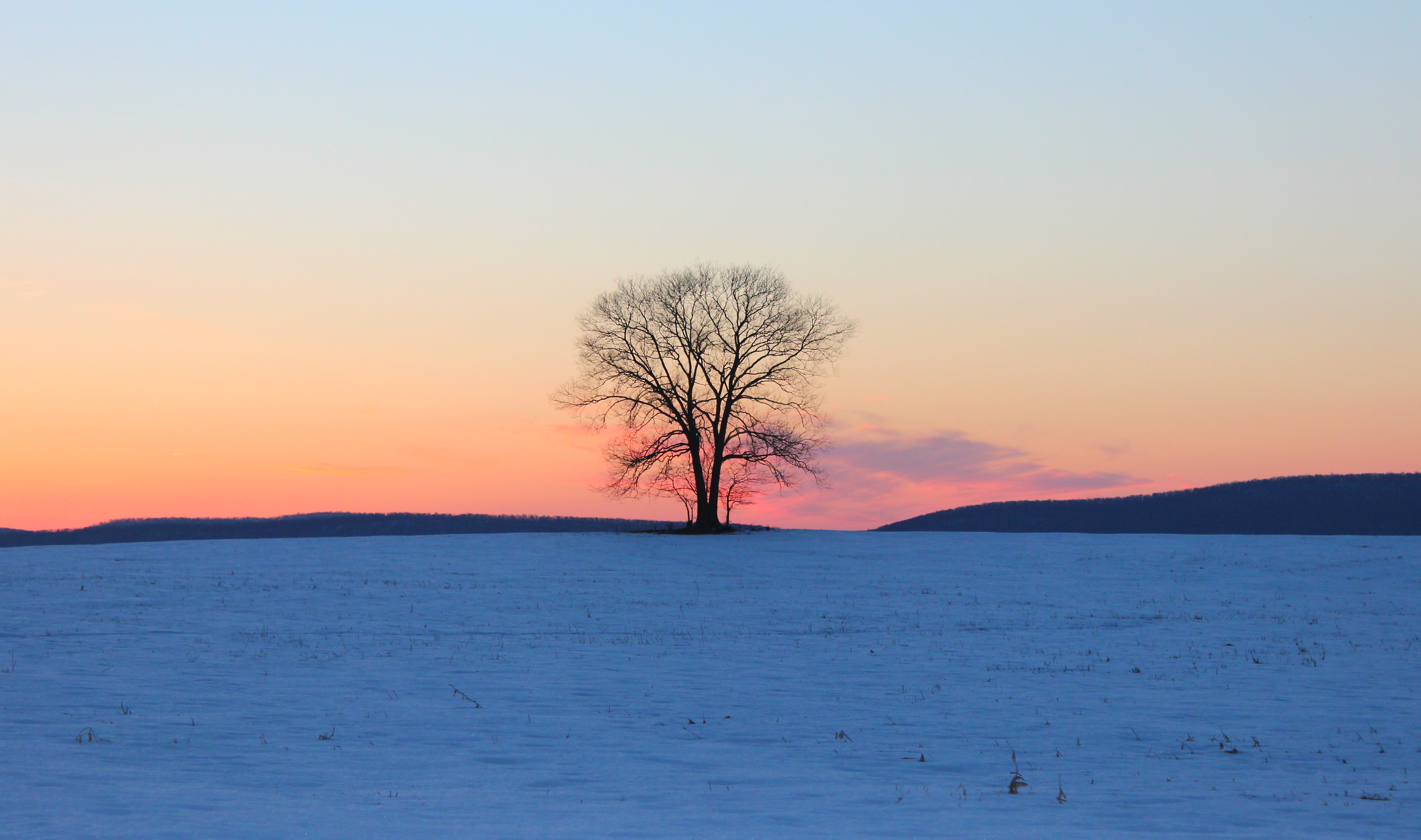
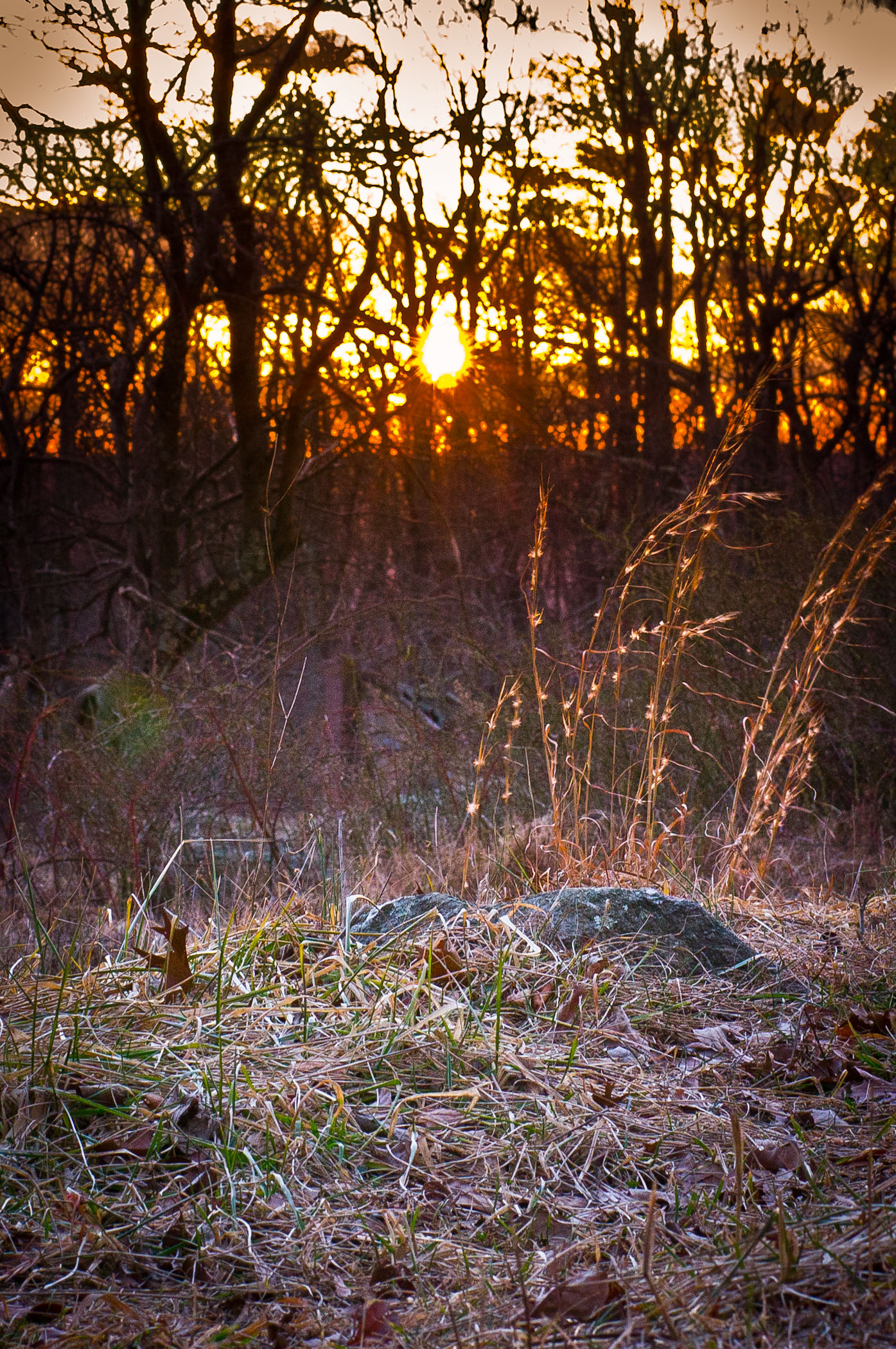
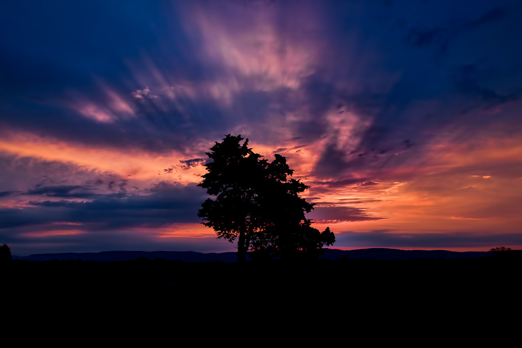
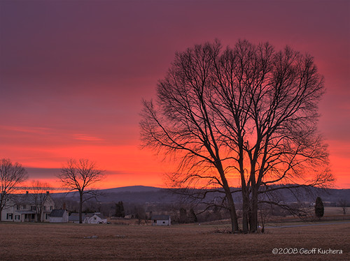
Lonely Tree Sunset

Sunset, lake and hills !!
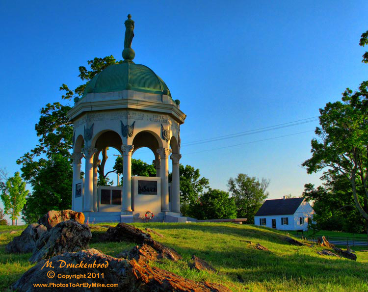
Antietam Battlefield, the Maryland Monument at sundown

Antietam - The Maryland Monument at sundown
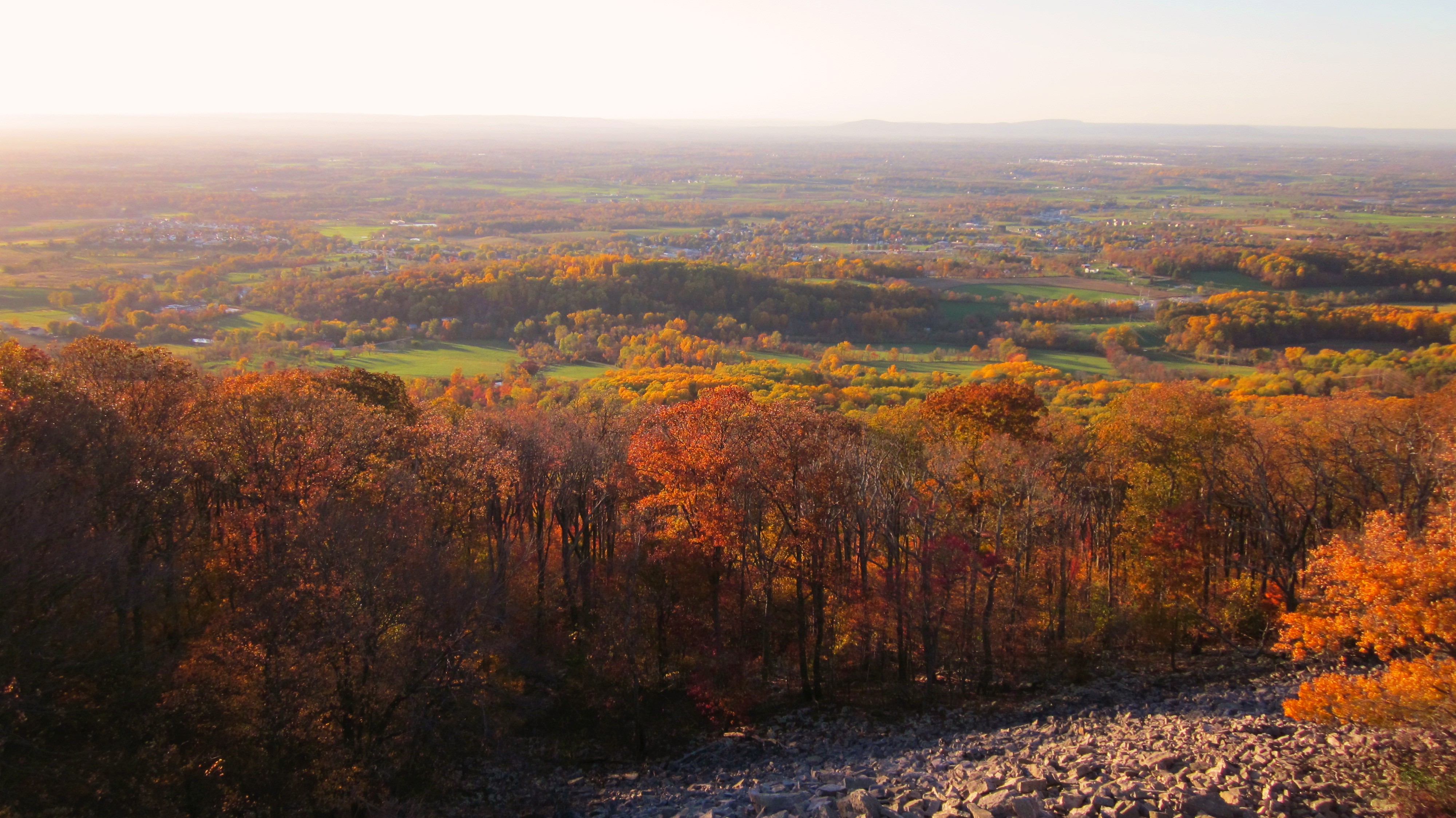
Afternoon view from the Washington Monument on South Mountain, Maryland

Appalachian Trail - Black Rock (Maryland) Sunset

Appalachian Trail - Black Rock (Maryland) Sunset

Antietam Battlefield - 2009-09-29 (68)

Antietam Battlefield - 2009-09-29 (58)
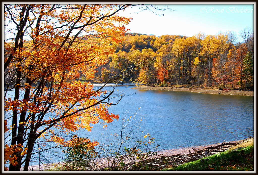
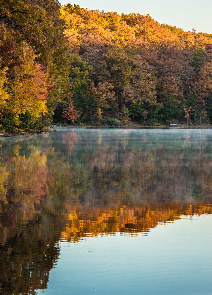
Autumn trees by the lake

Something New

Antietam Battlefield - 2009-09-29 (50)

Day 90/365. The glow !
Canada Hill Sundown
Shine a Light on It

Antietam Sunset

Appalachian Trail - Black Rock (Maryland) Sunset
Blow Your House In

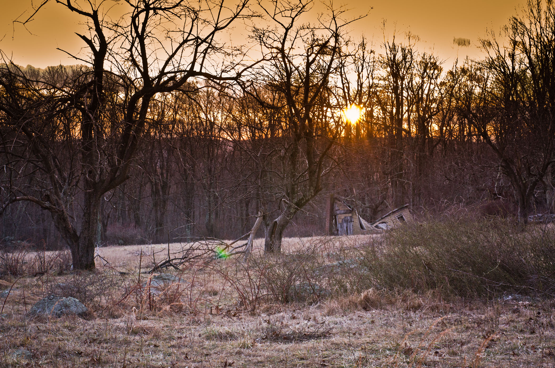
Sundown, near Broad Run and Burkittsville, MD

Day 60/365. Staying strong.
Home to the Shadows

Just Before Sunrise over High Knob

_RWB6238.jpg
On The Opposite Side

Sunrise at Antietam Battlefield
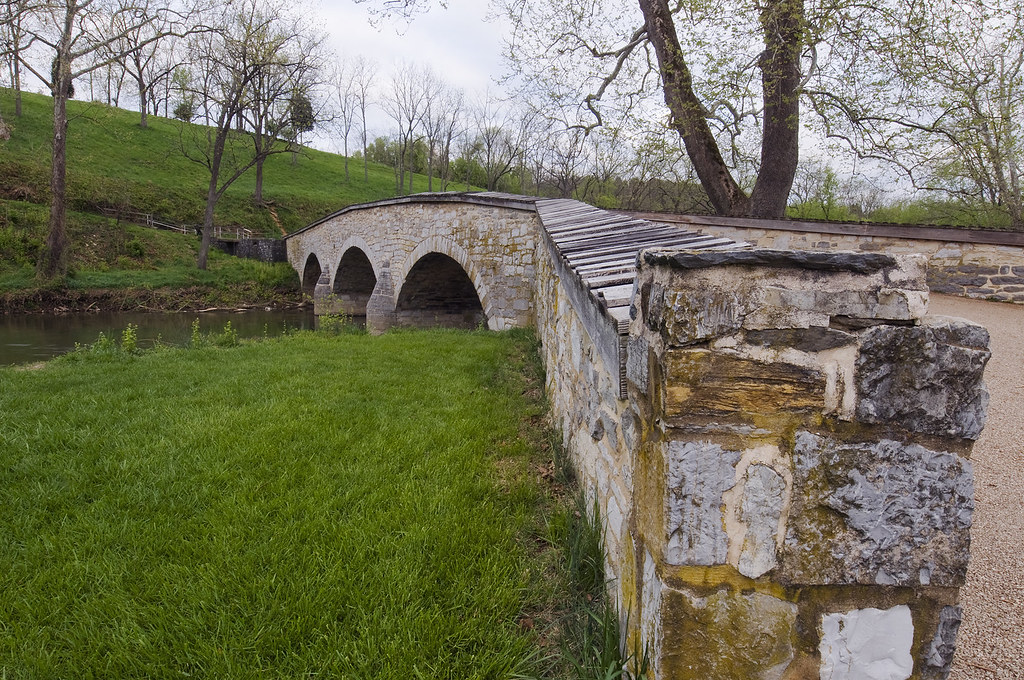
Burnsides Bridge, Antietam National Battlefield, Sharpsburg, Maryland

_RWB6256.jpg
Good Morning Tree

Smithsburg Sunrise
The Ghost of Sunrise

Antietam Battlefield circa 2011
Greenbrier Lake

Greenbrier Lake
Antietam Sunrise
Sunday Dawn

Bloody Lane in Antietam Battlefield on a foggy morning

Bridge Over Antietam Creek

_RWB5807.jpg

The Cornfield
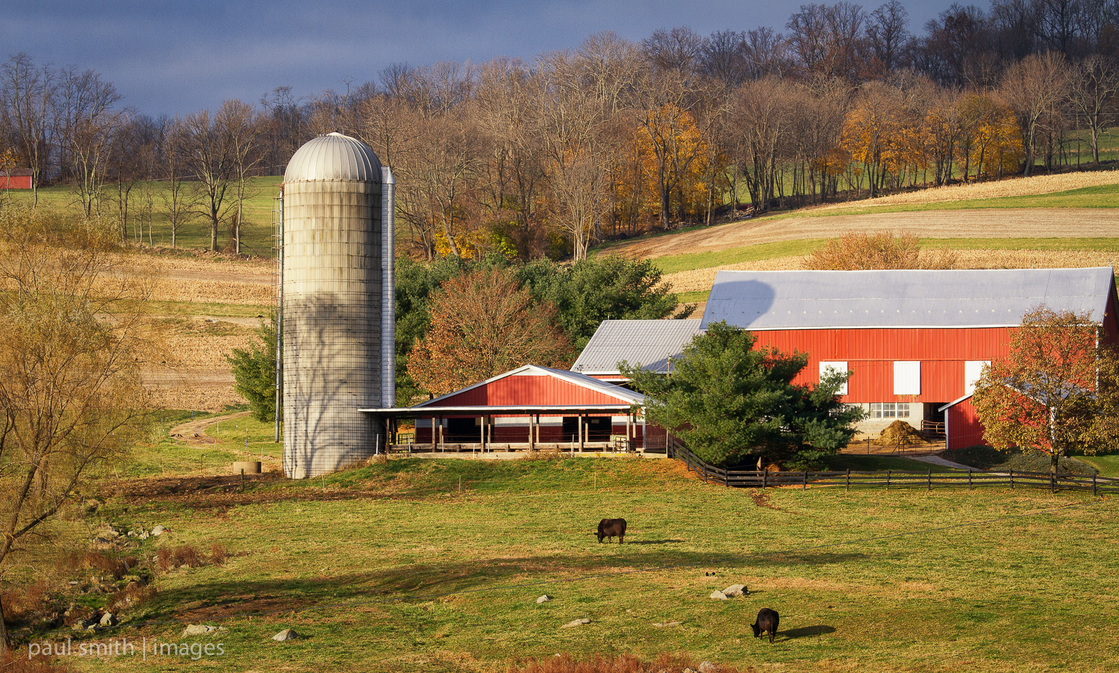
{324/365} Sunrise on neighboring farm
Pleasant Walk Rd, Myersville, MD アメリカ合衆国の地図
別の場所を検索
近所の場所
Baltimore National Pike, Myersville, MD アメリカ合衆国アナポリス・ロック / ブラック・ロック・クリフ
アメリカ合衆国 〒 メリーランド州 マイヤーズビル
アメリカ合衆国 メリーランド州 16, ジャクソン
アメリカ合衆国 〒 メリーランド州 ブーンズボロ
Old National Pike, Middletown, MD アメリカ合衆国
Green Fern Cir, Boonsboro, MD アメリカ合衆国
Wistman Ln, Myersville, MD アメリカ合衆国
アメリカ合衆国 メリーランド州 6, ブーンズボロ
Crow Rock Rd, Myersville, MD アメリカ合衆国
Old National Pike, Middletown, MD アメリカ合衆国
Westchester Ct, Middletown, MD アメリカ合衆国
Rum Springs Rd, Frederick, MD アメリカ合衆国
Dogstreet Rd, Keedysville, MD アメリカ合衆国
Valley View Rd, Middletown, MD アメリカ合衆国
アメリカ合衆国 メリーランド州 3, ミドルタウン
Gambrill Park Rd, Frederick, MD アメリカ合衆国Gambrill Park Road
Mountain Church Rd, Middletown, MD アメリカ合衆国
Hawbottom Rd, Middletown, MD アメリカ合衆国ハウボトム・ロード
Valley View Rd, Middletown, MD アメリカ合衆国
Valley View Rd, Middletown, MD アメリカ合衆国
最近の検索
- アメリカ合衆国 アラスカ州 レッド・ドッグ・マイン日の出日の入り時間
- Am bhf, Borken, ドイツアム・バーンホーフ日の出日の入り時間
- 4th St E, Sonoma, CA, USA日の出日の入り時間
- Oakland Ave, Williamsport, PA アメリカ合衆国日の出日の入り時間
- Via Roma, Pieranica CR, イタリアローマ通り日の出日の入り時間
- クロアチア 〒 ドゥブロブニク GradClock Tower of Dubrovnik日の出日の入り時間
- アルゼンチン チュブ州 トレリュー日の出日の入り時間
- Hartfords Bluff Cir, Mt Pleasant, SC アメリカ合衆国日の出日の入り時間
- 日本、熊本県熊本市北区日の出日の入り時間
- 中華人民共和国 福州市 平潭県 平潭島日の出日の入り時間