アメリカ合衆国 カリフォルニア州 プラナダ日の出日の入り時間
Location: アメリカ合衆国 > カリフォルニア州 > マーセド >
時間帯:
America/Los_Angeles
現地時間:
2025-06-24 15:05:20
経度:
-120.3185161
緯度:
37.2907749
今日の日の出時刻:
05:42:24 AM
今日の日の入時刻:
08:25:49 PM
今日の日長:
14h 43m 25s
明日の日の出時刻:
05:42:45 AM
明日の日の入時刻:
08:25:53 PM
明日の日長:
14h 43m 8s
すべて表示する
| 日付 | 日出 | 日没 | 日長 |
|---|---|---|---|
| 2025年01月01日 | 07:15:27 AM | 04:55:33 PM | 9h 40m 6s |
| 2025年01月02日 | 07:15:32 AM | 04:56:22 PM | 9h 40m 50s |
| 2025年01月03日 | 07:15:36 AM | 04:57:13 PM | 9h 41m 37s |
| 2025年01月04日 | 07:15:37 AM | 04:58:05 PM | 9h 42m 28s |
| 2025年01月05日 | 07:15:36 AM | 04:58:58 PM | 9h 43m 22s |
| 2025年01月06日 | 07:15:34 AM | 04:59:53 PM | 9h 44m 19s |
| 2025年01月07日 | 07:15:29 AM | 05:00:48 PM | 9h 45m 19s |
| 2025年01月08日 | 07:15:22 AM | 05:01:44 PM | 9h 46m 22s |
| 2025年01月09日 | 07:15:13 AM | 05:02:42 PM | 9h 47m 29s |
| 2025年01月10日 | 07:15:02 AM | 05:03:40 PM | 9h 48m 38s |
| 2025年01月11日 | 07:14:49 AM | 05:04:39 PM | 9h 49m 50s |
| 2025年01月12日 | 07:14:34 AM | 05:05:38 PM | 9h 51m 4s |
| 2025年01月13日 | 07:14:17 AM | 05:06:39 PM | 9h 52m 22s |
| 2025年01月14日 | 07:13:58 AM | 05:07:40 PM | 9h 53m 42s |
| 2025年01月15日 | 07:13:37 AM | 05:08:42 PM | 9h 55m 5s |
| 2025年01月16日 | 07:13:14 AM | 05:09:44 PM | 9h 56m 30s |
| 2025年01月17日 | 07:12:49 AM | 05:10:47 PM | 9h 57m 58s |
| 2025年01月18日 | 07:12:22 AM | 05:11:50 PM | 9h 59m 28s |
| 2025年01月19日 | 07:11:54 AM | 05:12:54 PM | 10h 1m 0s |
| 2025年01月20日 | 07:11:23 AM | 05:13:58 PM | 10h 2m 35s |
| 2025年01月21日 | 07:10:50 AM | 05:15:03 PM | 10h 4m 13s |
| 2025年01月22日 | 07:10:16 AM | 05:16:08 PM | 10h 5m 52s |
| 2025年01月23日 | 07:09:40 AM | 05:17:13 PM | 10h 7m 33s |
| 2025年01月24日 | 07:09:01 AM | 05:18:18 PM | 10h 9m 17s |
| 2025年01月25日 | 07:08:22 AM | 05:19:24 PM | 10h 11m 2s |
| 2025年01月26日 | 07:07:40 AM | 05:20:29 PM | 10h 12m 49s |
| 2025年01月27日 | 07:06:56 AM | 05:21:35 PM | 10h 14m 39s |
| 2025年01月28日 | 07:06:11 AM | 05:22:41 PM | 10h 16m 30s |
| 2025年01月29日 | 07:05:25 AM | 05:23:47 PM | 10h 18m 22s |
| 2025年01月30日 | 07:04:36 AM | 05:24:53 PM | 10h 20m 17s |
| 2025年01月31日 | 07:03:46 AM | 05:25:59 PM | 10h 22m 13s |
| 2025年02月01日 | 07:02:54 AM | 05:27:05 PM | 10h 24m 11s |
| 2025年02月02日 | 07:02:01 AM | 05:28:11 PM | 10h 26m 10s |
| 2025年02月03日 | 07:01:07 AM | 05:29:16 PM | 10h 28m 9s |
| 2025年02月04日 | 07:00:10 AM | 05:30:22 PM | 10h 30m 12s |
| 2025年02月05日 | 06:59:13 AM | 05:31:27 PM | 10h 32m 14s |
| 2025年02月06日 | 06:58:13 AM | 05:32:33 PM | 10h 34m 20s |
| 2025年02月07日 | 06:57:13 AM | 05:33:38 PM | 10h 36m 25s |
| 2025年02月08日 | 06:56:11 AM | 05:34:43 PM | 10h 38m 32s |
| 2025年02月09日 | 06:55:08 AM | 05:35:48 PM | 10h 40m 40s |
| 2025年02月10日 | 06:54:03 AM | 05:36:52 PM | 10h 42m 49s |
| 2025年02月11日 | 06:52:57 AM | 05:37:56 PM | 10h 44m 59s |
| 2025年02月12日 | 06:51:50 AM | 05:39:00 PM | 10h 47m 10s |
| 2025年02月13日 | 06:50:42 AM | 05:40:04 PM | 10h 49m 22s |
| 2025年02月14日 | 06:49:33 AM | 05:41:08 PM | 10h 51m 35s |
| 2025年02月15日 | 06:48:22 AM | 05:42:11 PM | 10h 53m 49s |
| 2025年02月16日 | 06:47:10 AM | 05:43:14 PM | 10h 56m 4s |
| 2025年02月17日 | 06:45:58 AM | 05:44:16 PM | 10h 58m 18s |
| 2025年02月18日 | 06:44:44 AM | 05:45:18 PM | 11h 0m 34s |
| 2025年02月19日 | 06:43:29 AM | 05:46:20 PM | 11h 2m 51s |
| 2025年02月20日 | 06:42:13 AM | 05:47:22 PM | 11h 5m 9s |
| 2025年02月21日 | 06:40:56 AM | 05:48:23 PM | 11h 7m 27s |
| 2025年02月22日 | 06:39:39 AM | 05:49:24 PM | 11h 9m 45s |
| 2025年02月23日 | 06:38:20 AM | 05:50:25 PM | 11h 12m 5s |
| 2025年02月24日 | 06:37:01 AM | 05:51:25 PM | 11h 14m 24s |
| 2025年02月25日 | 06:35:41 AM | 05:52:25 PM | 11h 16m 44s |
| 2025年02月26日 | 06:34:20 AM | 05:53:25 PM | 11h 19m 5s |
| 2025年02月27日 | 06:32:58 AM | 05:54:24 PM | 11h 21m 26s |
| 2025年02月28日 | 06:31:36 AM | 05:55:23 PM | 11h 23m 47s |
| 2025年03月01日 | 06:30:13 AM | 05:56:22 PM | 11h 26m 9s |
| 2025年03月02日 | 06:28:49 AM | 05:57:20 PM | 11h 28m 31s |
| 2025年03月03日 | 06:27:25 AM | 05:58:19 PM | 11h 30m 54s |
| 2025年03月04日 | 06:26:00 AM | 05:59:16 PM | 11h 33m 16s |
| 2025年03月05日 | 06:24:34 AM | 06:00:14 PM | 11h 35m 40s |
| 2025年03月06日 | 06:23:08 AM | 06:01:11 PM | 11h 38m 3s |
| 2025年03月07日 | 06:21:42 AM | 06:02:08 PM | 11h 40m 26s |
| 2025年03月08日 | 06:20:15 AM | 06:03:05 PM | 11h 42m 50s |
| 2025年03月09日 | 07:18:51 AM | 07:03:59 PM | 11h 45m 8s |
| 2025年03月10日 | 07:17:24 AM | 07:04:55 PM | 11h 47m 31s |
| 2025年03月11日 | 07:15:55 AM | 07:05:51 PM | 11h 49m 56s |
| 2025年03月12日 | 07:14:27 AM | 07:06:47 PM | 11h 52m 20s |
| 2025年03月13日 | 07:12:58 AM | 07:07:43 PM | 11h 54m 45s |
| 2025年03月14日 | 07:11:29 AM | 07:08:38 PM | 11h 57m 9s |
| 2025年03月15日 | 07:10:00 AM | 07:09:33 PM | 11h 59m 33s |
| 2025年03月16日 | 07:08:31 AM | 07:10:28 PM | 12h 1m 57s |
| 2025年03月17日 | 07:07:01 AM | 07:11:23 PM | 12h 4m 22s |
| 2025年03月18日 | 07:05:31 AM | 07:12:18 PM | 12h 6m 47s |
| 2025年03月19日 | 07:04:01 AM | 07:13:12 PM | 12h 9m 11s |
| 2025年03月20日 | 07:02:31 AM | 07:14:07 PM | 12h 11m 36s |
| 2025年03月21日 | 07:01:01 AM | 07:15:01 PM | 12h 14m 0s |
| 2025年03月22日 | 06:59:31 AM | 07:15:55 PM | 12h 16m 24s |
| 2025年03月23日 | 06:58:01 AM | 07:16:49 PM | 12h 18m 48s |
| 2025年03月24日 | 06:56:31 AM | 07:17:43 PM | 12h 21m 12s |
| 2025年03月25日 | 06:55:01 AM | 07:18:37 PM | 12h 23m 36s |
| 2025年03月26日 | 06:53:31 AM | 07:19:31 PM | 12h 26m 0s |
| 2025年03月27日 | 06:52:01 AM | 07:20:24 PM | 12h 28m 23s |
| 2025年03月28日 | 06:50:31 AM | 07:21:18 PM | 12h 30m 47s |
| 2025年03月29日 | 06:49:01 AM | 07:22:12 PM | 12h 33m 11s |
| 2025年03月30日 | 06:47:32 AM | 07:23:05 PM | 12h 35m 33s |
| 2025年03月31日 | 06:46:03 AM | 07:23:59 PM | 12h 37m 56s |
| 2025年04月01日 | 06:44:34 AM | 07:24:52 PM | 12h 40m 18s |
| 2025年04月02日 | 06:43:06 AM | 07:25:46 PM | 12h 42m 40s |
| 2025年04月03日 | 06:41:37 AM | 07:26:39 PM | 12h 45m 2s |
| 2025年04月04日 | 06:40:10 AM | 07:27:33 PM | 12h 47m 23s |
| 2025年04月05日 | 06:38:42 AM | 07:28:26 PM | 12h 49m 44s |
| 2025年04月06日 | 06:37:15 AM | 07:29:20 PM | 12h 52m 5s |
| 2025年04月07日 | 06:35:48 AM | 07:30:13 PM | 12h 54m 25s |
| 2025年04月08日 | 06:34:22 AM | 07:31:07 PM | 12h 56m 45s |
| 2025年04月09日 | 06:32:57 AM | 07:32:00 PM | 12h 59m 3s |
| 2025年04月10日 | 06:31:31 AM | 07:32:54 PM | 13h 1m 23s |
| 2025年04月11日 | 06:30:07 AM | 07:33:47 PM | 13h 3m 40s |
| 2025年04月12日 | 06:28:43 AM | 07:34:41 PM | 13h 5m 58s |
| 2025年04月13日 | 06:27:20 AM | 07:35:35 PM | 13h 8m 15s |
| 2025年04月14日 | 06:25:57 AM | 07:36:29 PM | 13h 10m 32s |
| 2025年04月15日 | 06:24:35 AM | 07:37:22 PM | 13h 12m 47s |
| 2025年04月16日 | 06:23:14 AM | 07:38:16 PM | 13h 15m 2s |
| 2025年04月17日 | 06:21:53 AM | 07:39:10 PM | 13h 17m 17s |
| 2025年04月18日 | 06:20:33 AM | 07:40:04 PM | 13h 19m 31s |
| 2025年04月19日 | 06:19:14 AM | 07:40:58 PM | 13h 21m 44s |
| 2025年04月20日 | 06:17:56 AM | 07:41:52 PM | 13h 23m 56s |
| 2025年04月21日 | 06:16:39 AM | 07:42:46 PM | 13h 26m 7s |
| 2025年04月22日 | 06:15:22 AM | 07:43:40 PM | 13h 28m 18s |
| 2025年04月23日 | 06:14:07 AM | 07:44:35 PM | 13h 30m 28s |
| 2025年04月24日 | 06:12:52 AM | 07:45:29 PM | 13h 32m 37s |
| 2025年04月25日 | 06:11:38 AM | 07:46:23 PM | 13h 34m 45s |
| 2025年04月26日 | 06:10:26 AM | 07:47:17 PM | 13h 36m 51s |
| 2025年04月27日 | 06:09:14 AM | 07:48:11 PM | 13h 38m 57s |
| 2025年04月28日 | 06:08:04 AM | 07:49:05 PM | 13h 41m 1s |
| 2025年04月29日 | 06:06:54 AM | 07:49:59 PM | 13h 43m 5s |
| 2025年04月30日 | 06:05:46 AM | 07:50:53 PM | 13h 45m 7s |
| 2025年05月01日 | 06:04:39 AM | 07:51:47 PM | 13h 47m 8s |
| 2025年05月02日 | 06:03:33 AM | 07:52:41 PM | 13h 49m 8s |
| 2025年05月03日 | 06:02:28 AM | 07:53:34 PM | 13h 51m 6s |
| 2025年05月04日 | 06:01:25 AM | 07:54:28 PM | 13h 53m 3s |
| 2025年05月05日 | 06:00:23 AM | 07:55:22 PM | 13h 54m 59s |
| 2025年05月06日 | 05:59:22 AM | 07:56:15 PM | 13h 56m 53s |
| 2025年05月07日 | 05:58:22 AM | 07:57:08 PM | 13h 58m 46s |
| 2025年05月08日 | 05:57:24 AM | 07:58:01 PM | 14h 0m 37s |
| 2025年05月09日 | 05:56:27 AM | 07:58:54 PM | 14h 2m 27s |
| 2025年05月10日 | 05:55:31 AM | 07:59:46 PM | 14h 4m 15s |
| 2025年05月11日 | 05:54:37 AM | 08:00:38 PM | 14h 6m 1s |
| 2025年05月12日 | 05:53:45 AM | 08:01:30 PM | 14h 7m 45s |
| 2025年05月13日 | 05:52:54 AM | 08:02:21 PM | 14h 9m 27s |
| 2025年05月14日 | 05:52:04 AM | 08:03:13 PM | 14h 11m 9s |
| 2025年05月15日 | 05:51:16 AM | 08:04:03 PM | 14h 12m 47s |
| 2025年05月16日 | 05:50:29 AM | 08:04:54 PM | 14h 14m 25s |
| 2025年05月17日 | 05:49:44 AM | 08:05:43 PM | 14h 15m 59s |
| 2025年05月18日 | 05:49:01 AM | 08:06:33 PM | 14h 17m 32s |
| 2025年05月19日 | 05:48:19 AM | 08:07:22 PM | 14h 19m 3s |
| 2025年05月20日 | 05:47:39 AM | 08:08:10 PM | 14h 20m 31s |
| 2025年05月21日 | 05:47:00 AM | 08:08:58 PM | 14h 21m 58s |
| 2025年05月22日 | 05:46:23 AM | 08:09:45 PM | 14h 23m 22s |
| 2025年05月23日 | 05:45:48 AM | 08:10:31 PM | 14h 24m 43s |
| 2025年05月24日 | 05:45:14 AM | 08:11:17 PM | 14h 26m 3s |
| 2025年05月25日 | 05:44:42 AM | 08:12:02 PM | 14h 27m 20s |
| 2025年05月26日 | 05:44:12 AM | 08:12:46 PM | 14h 28m 34s |
| 2025年05月27日 | 05:43:44 AM | 08:13:30 PM | 14h 29m 46s |
| 2025年05月28日 | 05:43:17 AM | 08:14:12 PM | 14h 30m 55s |
| 2025年05月29日 | 05:42:52 AM | 08:14:54 PM | 14h 32m 2s |
| 2025年05月30日 | 05:42:29 AM | 08:15:35 PM | 14h 33m 6s |
| 2025年05月31日 | 05:42:08 AM | 08:16:15 PM | 14h 34m 7s |
| 2025年06月01日 | 05:41:48 AM | 08:16:53 PM | 14h 35m 5s |
| 2025年06月02日 | 05:41:30 AM | 08:17:31 PM | 14h 36m 1s |
| 2025年06月03日 | 05:41:14 AM | 08:18:08 PM | 14h 36m 54s |
| 2025年06月04日 | 05:41:00 AM | 08:18:44 PM | 14h 37m 44s |
| 2025年06月05日 | 05:40:48 AM | 08:19:18 PM | 14h 38m 30s |
| 2025年06月06日 | 05:40:37 AM | 08:19:51 PM | 14h 39m 14s |
| 2025年06月07日 | 05:40:28 AM | 08:20:23 PM | 14h 39m 55s |
| 2025年06月08日 | 05:40:21 AM | 08:20:54 PM | 14h 40m 33s |
| 2025年06月09日 | 05:40:15 AM | 08:21:23 PM | 14h 41m 8s |
| 2025年06月10日 | 05:40:12 AM | 08:21:51 PM | 14h 41m 39s |
| 2025年06月11日 | 05:40:10 AM | 08:22:18 PM | 14h 42m 8s |
| 2025年06月12日 | 05:40:10 AM | 08:22:44 PM | 14h 42m 34s |
| 2025年06月13日 | 05:40:11 AM | 08:23:07 PM | 14h 42m 56s |
| 2025年06月14日 | 05:40:14 AM | 08:23:30 PM | 14h 43m 16s |
| 2025年06月15日 | 05:40:19 AM | 08:23:51 PM | 14h 43m 32s |
| 2025年06月16日 | 05:40:26 AM | 08:24:10 PM | 14h 43m 44s |
| 2025年06月17日 | 05:40:34 AM | 08:24:28 PM | 14h 43m 54s |
| 2025年06月18日 | 05:40:44 AM | 08:24:44 PM | 14h 44m 0s |
| 2025年06月19日 | 05:40:56 AM | 08:24:59 PM | 14h 44m 3s |
| 2025年06月20日 | 05:41:09 AM | 08:25:12 PM | 14h 44m 3s |
| 2025年06月21日 | 05:41:23 AM | 08:25:23 PM | 14h 44m 0s |
| 2025年06月22日 | 05:41:40 AM | 08:25:33 PM | 14h 43m 53s |
| 2025年06月23日 | 05:41:57 AM | 08:25:41 PM | 14h 43m 44s |
| 2025年06月24日 | 05:42:16 AM | 08:25:47 PM | 14h 43m 31s |
| 2025年06月25日 | 05:42:37 AM | 08:25:52 PM | 14h 43m 15s |
| 2025年06月26日 | 05:42:59 AM | 08:25:55 PM | 14h 42m 56s |
| 2025年06月27日 | 05:43:23 AM | 08:25:56 PM | 14h 42m 33s |
| 2025年06月28日 | 05:43:48 AM | 08:25:55 PM | 14h 42m 7s |
| 2025年06月29日 | 05:44:14 AM | 08:25:52 PM | 14h 41m 38s |
| 2025年06月30日 | 05:44:41 AM | 08:25:48 PM | 14h 41m 7s |
| 2025年07月01日 | 05:45:10 AM | 08:25:42 PM | 14h 40m 32s |
| 2025年07月02日 | 05:45:40 AM | 08:25:34 PM | 14h 39m 54s |
| 2025年07月03日 | 05:46:11 AM | 08:25:24 PM | 14h 39m 13s |
| 2025年07月04日 | 05:46:43 AM | 08:25:13 PM | 14h 38m 30s |
| 2025年07月05日 | 05:47:17 AM | 08:24:59 PM | 14h 37m 42s |
| 2025年07月06日 | 05:47:51 AM | 08:24:44 PM | 14h 36m 53s |
| 2025年07月07日 | 05:48:27 AM | 08:24:27 PM | 14h 36m 0s |
| 2025年07月08日 | 05:49:03 AM | 08:24:08 PM | 14h 35m 5s |
| 2025年07月09日 | 05:49:41 AM | 08:23:47 PM | 14h 34m 6s |
| 2025年07月10日 | 05:50:19 AM | 08:23:25 PM | 14h 33m 6s |
| 2025年07月11日 | 05:50:59 AM | 08:23:01 PM | 14h 32m 2s |
| 2025年07月12日 | 05:51:39 AM | 08:22:34 PM | 14h 30m 55s |
| 2025年07月13日 | 05:52:20 AM | 08:22:07 PM | 14h 29m 47s |
| 2025年07月14日 | 05:53:01 AM | 08:21:37 PM | 14h 28m 36s |
| 2025年07月15日 | 05:53:44 AM | 08:21:06 PM | 14h 27m 22s |
| 2025年07月16日 | 05:54:27 AM | 08:20:32 PM | 14h 26m 5s |
| 2025年07月17日 | 05:55:11 AM | 08:19:58 PM | 14h 24m 47s |
| 2025年07月18日 | 05:55:55 AM | 08:19:21 PM | 14h 23m 26s |
| 2025年07月19日 | 05:56:40 AM | 08:18:43 PM | 14h 22m 3s |
| 2025年07月20日 | 05:57:26 AM | 08:18:03 PM | 14h 20m 37s |
| 2025年07月21日 | 05:58:12 AM | 08:17:21 PM | 14h 19m 9s |
| 2025年07月22日 | 05:58:58 AM | 08:16:38 PM | 14h 17m 40s |
| 2025年07月23日 | 05:59:45 AM | 08:15:53 PM | 14h 16m 8s |
| 2025年07月24日 | 06:00:33 AM | 08:15:07 PM | 14h 14m 34s |
| 2025年07月25日 | 06:01:21 AM | 08:14:18 PM | 14h 12m 57s |
| 2025年07月26日 | 06:02:09 AM | 08:13:29 PM | 14h 11m 20s |
| 2025年07月27日 | 06:02:57 AM | 08:12:38 PM | 14h 9m 41s |
| 2025年07月28日 | 06:03:46 AM | 08:11:45 PM | 14h 7m 59s |
| 2025年07月29日 | 06:04:35 AM | 08:10:51 PM | 14h 6m 16s |
| 2025年07月30日 | 06:05:25 AM | 08:09:55 PM | 14h 4m 30s |
| 2025年07月31日 | 06:06:14 AM | 08:08:58 PM | 14h 2m 44s |
| 2025年08月01日 | 06:07:04 AM | 08:08:00 PM | 14h 0m 56s |
| 2025年08月02日 | 06:07:54 AM | 08:07:00 PM | 13h 59m 6s |
| 2025年08月03日 | 06:08:44 AM | 08:05:59 PM | 13h 57m 15s |
| 2025年08月04日 | 06:09:34 AM | 08:04:56 PM | 13h 55m 22s |
| 2025年08月05日 | 06:10:24 AM | 08:03:52 PM | 13h 53m 28s |
| 2025年08月06日 | 06:11:15 AM | 08:02:47 PM | 13h 51m 32s |
| 2025年08月07日 | 06:12:05 AM | 08:01:41 PM | 13h 49m 36s |
| 2025年08月08日 | 06:12:56 AM | 08:00:33 PM | 13h 47m 37s |
| 2025年08月09日 | 06:13:46 AM | 07:59:24 PM | 13h 45m 38s |
| 2025年08月10日 | 06:14:37 AM | 07:58:15 PM | 13h 43m 38s |
| 2025年08月11日 | 06:15:27 AM | 07:57:03 PM | 13h 41m 36s |
| 2025年08月12日 | 06:16:18 AM | 07:55:51 PM | 13h 39m 33s |
| 2025年08月13日 | 06:17:09 AM | 07:54:38 PM | 13h 37m 29s |
| 2025年08月14日 | 06:17:59 AM | 07:53:24 PM | 13h 35m 25s |
| 2025年08月15日 | 06:18:50 AM | 07:52:08 PM | 13h 33m 18s |
| 2025年08月16日 | 06:19:40 AM | 07:50:52 PM | 13h 31m 12s |
| 2025年08月17日 | 06:20:30 AM | 07:49:35 PM | 13h 29m 5s |
| 2025年08月18日 | 06:21:21 AM | 07:48:17 PM | 13h 26m 56s |
| 2025年08月19日 | 06:22:11 AM | 07:46:58 PM | 13h 24m 47s |
| 2025年08月20日 | 06:23:01 AM | 07:45:38 PM | 13h 22m 37s |
| 2025年08月21日 | 06:23:51 AM | 07:44:17 PM | 13h 20m 26s |
| 2025年08月22日 | 06:24:42 AM | 07:42:55 PM | 13h 18m 13s |
| 2025年08月23日 | 06:25:32 AM | 07:41:33 PM | 13h 16m 1s |
| 2025年08月24日 | 06:26:21 AM | 07:40:10 PM | 13h 13m 49s |
| 2025年08月25日 | 06:27:11 AM | 07:38:46 PM | 13h 11m 35s |
| 2025年08月26日 | 06:28:01 AM | 07:37:21 PM | 13h 9m 20s |
| 2025年08月27日 | 06:28:51 AM | 07:35:56 PM | 13h 7m 5s |
| 2025年08月28日 | 06:29:40 AM | 07:34:30 PM | 13h 4m 50s |
| 2025年08月29日 | 06:30:30 AM | 07:33:04 PM | 13h 2m 34s |
| 2025年08月30日 | 06:31:19 AM | 07:31:37 PM | 13h 0m 18s |
| 2025年08月31日 | 06:32:09 AM | 07:30:09 PM | 12h 58m 0s |
| 2025年09月01日 | 06:32:58 AM | 07:28:41 PM | 12h 55m 43s |
| 2025年09月02日 | 06:33:47 AM | 07:27:13 PM | 12h 53m 26s |
| 2025年09月03日 | 06:34:37 AM | 07:25:44 PM | 12h 51m 7s |
| 2025年09月04日 | 06:35:26 AM | 07:24:14 PM | 12h 48m 48s |
| 2025年09月05日 | 06:36:15 AM | 07:22:45 PM | 12h 46m 30s |
| 2025年09月06日 | 06:37:04 AM | 07:21:14 PM | 12h 44m 10s |
| 2025年09月07日 | 06:37:53 AM | 07:19:44 PM | 12h 41m 51s |
| 2025年09月08日 | 06:38:43 AM | 07:18:13 PM | 12h 39m 30s |
| 2025年09月09日 | 06:39:32 AM | 07:16:42 PM | 12h 37m 10s |
| 2025年09月10日 | 06:40:21 AM | 07:15:10 PM | 12h 34m 49s |
| 2025年09月11日 | 06:41:10 AM | 07:13:39 PM | 12h 32m 29s |
| 2025年09月12日 | 06:41:59 AM | 07:12:07 PM | 12h 30m 8s |
| 2025年09月13日 | 06:42:48 AM | 07:10:35 PM | 12h 27m 47s |
| 2025年09月14日 | 06:43:38 AM | 07:09:03 PM | 12h 25m 25s |
| 2025年09月15日 | 06:44:27 AM | 07:07:31 PM | 12h 23m 4s |
| 2025年09月16日 | 06:45:16 AM | 07:05:58 PM | 12h 20m 42s |
| 2025年09月17日 | 06:46:06 AM | 07:04:26 PM | 12h 18m 20s |
| 2025年09月18日 | 06:46:56 AM | 07:02:54 PM | 12h 15m 58s |
| 2025年09月19日 | 06:47:45 AM | 07:01:21 PM | 12h 13m 36s |
| 2025年09月20日 | 06:48:35 AM | 06:59:49 PM | 12h 11m 14s |
| 2025年09月21日 | 06:49:25 AM | 06:58:17 PM | 12h 8m 52s |
| 2025年09月22日 | 06:50:15 AM | 06:56:44 PM | 12h 6m 29s |
| 2025年09月23日 | 06:51:05 AM | 06:55:12 PM | 12h 4m 7s |
| 2025年09月24日 | 06:51:56 AM | 06:53:40 PM | 12h 1m 44s |
| 2025年09月25日 | 06:52:46 AM | 06:52:09 PM | 11h 59m 23s |
| 2025年09月26日 | 06:53:37 AM | 06:50:37 PM | 11h 57m 0s |
| 2025年09月27日 | 06:54:28 AM | 06:49:06 PM | 11h 54m 38s |
| 2025年09月28日 | 06:55:19 AM | 06:47:35 PM | 11h 52m 16s |
| 2025年09月29日 | 06:56:10 AM | 06:46:04 PM | 11h 49m 54s |
| 2025年09月30日 | 06:57:02 AM | 06:44:34 PM | 11h 47m 32s |
| 2025年10月01日 | 06:57:54 AM | 06:43:04 PM | 11h 45m 10s |
| 2025年10月02日 | 06:58:46 AM | 06:41:34 PM | 11h 42m 48s |
| 2025年10月03日 | 06:59:38 AM | 06:40:05 PM | 11h 40m 27s |
| 2025年10月04日 | 07:00:31 AM | 06:38:36 PM | 11h 38m 5s |
| 2025年10月05日 | 07:01:24 AM | 06:37:08 PM | 11h 35m 44s |
| 2025年10月06日 | 07:02:17 AM | 06:35:41 PM | 11h 33m 24s |
| 2025年10月07日 | 07:03:10 AM | 06:34:13 PM | 11h 31m 3s |
| 2025年10月08日 | 07:04:04 AM | 06:32:47 PM | 11h 28m 43s |
| 2025年10月09日 | 07:04:58 AM | 06:31:21 PM | 11h 26m 23s |
| 2025年10月10日 | 07:05:53 AM | 06:29:55 PM | 11h 24m 2s |
| 2025年10月11日 | 07:06:47 AM | 06:28:31 PM | 11h 21m 44s |
| 2025年10月12日 | 07:07:43 AM | 06:27:07 PM | 11h 19m 24s |
| 2025年10月13日 | 07:08:38 AM | 06:25:43 PM | 11h 17m 5s |
| 2025年10月14日 | 07:09:34 AM | 06:24:21 PM | 11h 14m 47s |
| 2025年10月15日 | 07:10:30 AM | 06:22:59 PM | 11h 12m 29s |
| 2025年10月16日 | 07:11:26 AM | 06:21:38 PM | 11h 10m 12s |
| 2025年10月17日 | 07:12:23 AM | 06:20:18 PM | 11h 7m 55s |
| 2025年10月18日 | 07:13:20 AM | 06:18:59 PM | 11h 5m 39s |
| 2025年10月19日 | 07:14:18 AM | 06:17:41 PM | 11h 3m 23s |
| 2025年10月20日 | 07:15:15 AM | 06:16:24 PM | 11h 1m 9s |
| 2025年10月21日 | 07:16:14 AM | 06:15:08 PM | 10h 58m 54s |
| 2025年10月22日 | 07:17:12 AM | 06:13:53 PM | 10h 56m 41s |
| 2025年10月23日 | 07:18:11 AM | 06:12:38 PM | 10h 54m 27s |
| 2025年10月24日 | 07:19:10 AM | 06:11:25 PM | 10h 52m 15s |
| 2025年10月25日 | 07:20:10 AM | 06:10:13 PM | 10h 50m 3s |
| 2025年10月26日 | 07:21:10 AM | 06:09:03 PM | 10h 47m 53s |
| 2025年10月27日 | 07:22:10 AM | 06:07:53 PM | 10h 45m 43s |
| 2025年10月28日 | 07:23:10 AM | 06:06:45 PM | 10h 43m 35s |
| 2025年10月29日 | 07:24:11 AM | 06:05:38 PM | 10h 41m 27s |
| 2025年10月30日 | 07:25:12 AM | 06:04:32 PM | 10h 39m 20s |
| 2025年10月31日 | 07:26:13 AM | 06:03:27 PM | 10h 37m 14s |
| 2025年11月01日 | 07:27:15 AM | 06:02:24 PM | 10h 35m 9s |
| 2025年11月02日 | 06:28:19 AM | 05:01:20 PM | 10h 33m 1s |
| 2025年11月03日 | 06:29:21 AM | 05:00:20 PM | 10h 30m 59s |
| 2025年11月04日 | 06:30:23 AM | 04:59:21 PM | 10h 28m 58s |
| 2025年11月05日 | 06:31:26 AM | 04:58:23 PM | 10h 26m 57s |
| 2025年11月06日 | 06:32:28 AM | 04:57:28 PM | 10h 25m 0s |
| 2025年11月07日 | 06:33:31 AM | 04:56:33 PM | 10h 23m 2s |
| 2025年11月08日 | 06:34:34 AM | 04:55:41 PM | 10h 21m 7s |
| 2025年11月09日 | 06:35:37 AM | 04:54:50 PM | 10h 19m 13s |
| 2025年11月10日 | 06:36:40 AM | 04:54:00 PM | 10h 17m 20s |
| 2025年11月11日 | 06:37:43 AM | 04:53:13 PM | 10h 15m 30s |
| 2025年11月12日 | 06:38:46 AM | 04:52:26 PM | 10h 13m 40s |
| 2025年11月13日 | 06:39:48 AM | 04:51:42 PM | 10h 11m 54s |
| 2025年11月14日 | 06:40:51 AM | 04:51:00 PM | 10h 10m 9s |
| 2025年11月15日 | 06:41:54 AM | 04:50:19 PM | 10h 8m 25s |
| 2025年11月16日 | 06:42:57 AM | 04:49:40 PM | 10h 6m 43s |
| 2025年11月17日 | 06:43:59 AM | 04:49:03 PM | 10h 5m 4s |
| 2025年11月18日 | 06:45:01 AM | 04:48:28 PM | 10h 3m 27s |
| 2025年11月19日 | 06:46:03 AM | 04:47:54 PM | 10h 1m 51s |
| 2025年11月20日 | 06:47:05 AM | 04:47:23 PM | 10h 0m 18s |
| 2025年11月21日 | 06:48:06 AM | 04:46:53 PM | 9h 58m 47s |
| 2025年11月22日 | 06:49:07 AM | 04:46:26 PM | 9h 57m 19s |
| 2025年11月23日 | 06:50:08 AM | 04:46:00 PM | 9h 55m 52s |
| 2025年11月24日 | 06:51:08 AM | 04:45:36 PM | 9h 54m 28s |
| 2025年11月25日 | 06:52:07 AM | 04:45:15 PM | 9h 53m 8s |
| 2025年11月26日 | 06:53:06 AM | 04:44:55 PM | 9h 51m 49s |
| 2025年11月27日 | 06:54:04 AM | 04:44:38 PM | 9h 50m 34s |
| 2025年11月28日 | 06:55:02 AM | 04:44:22 PM | 9h 49m 20s |
| 2025年11月29日 | 06:55:59 AM | 04:44:09 PM | 9h 48m 10s |
| 2025年11月30日 | 06:56:55 AM | 04:43:58 PM | 9h 47m 3s |
| 2025年12月01日 | 06:57:51 AM | 04:43:48 PM | 9h 45m 57s |
| 2025年12月02日 | 06:58:45 AM | 04:43:41 PM | 9h 44m 56s |
| 2025年12月03日 | 06:59:39 AM | 04:43:36 PM | 9h 43m 57s |
| 2025年12月04日 | 07:00:31 AM | 04:43:33 PM | 9h 43m 2s |
| 2025年12月05日 | 07:01:23 AM | 04:43:32 PM | 9h 42m 9s |
| 2025年12月06日 | 07:02:14 AM | 04:43:33 PM | 9h 41m 19s |
| 2025年12月07日 | 07:03:03 AM | 04:43:36 PM | 9h 40m 33s |
| 2025年12月08日 | 07:03:51 AM | 04:43:42 PM | 9h 39m 51s |
| 2025年12月09日 | 07:04:38 AM | 04:43:49 PM | 9h 39m 11s |
| 2025年12月10日 | 07:05:24 AM | 04:43:59 PM | 9h 38m 35s |
| 2025年12月11日 | 07:06:09 AM | 04:44:10 PM | 9h 38m 1s |
| 2025年12月12日 | 07:06:52 AM | 04:44:24 PM | 9h 37m 32s |
| 2025年12月13日 | 07:07:33 AM | 04:44:39 PM | 9h 37m 6s |
| 2025年12月14日 | 07:08:14 AM | 04:44:57 PM | 9h 36m 43s |
| 2025年12月15日 | 07:08:52 AM | 04:45:16 PM | 9h 36m 24s |
| 2025年12月16日 | 07:09:29 AM | 04:45:38 PM | 9h 36m 9s |
| 2025年12月17日 | 07:10:05 AM | 04:46:01 PM | 9h 35m 56s |
| 2025年12月18日 | 07:10:39 AM | 04:46:26 PM | 9h 35m 47s |
| 2025年12月19日 | 07:11:11 AM | 04:46:54 PM | 9h 35m 43s |
| 2025年12月20日 | 07:11:42 AM | 04:47:23 PM | 9h 35m 41s |
| 2025年12月21日 | 07:12:11 AM | 04:47:53 PM | 9h 35m 42s |
| 2025年12月22日 | 07:12:38 AM | 04:48:26 PM | 9h 35m 48s |
| 2025年12月23日 | 07:13:03 AM | 04:49:00 PM | 9h 35m 57s |
| 2025年12月24日 | 07:13:27 AM | 04:49:36 PM | 9h 36m 9s |
| 2025年12月25日 | 07:13:48 AM | 04:50:14 PM | 9h 36m 26s |
| 2025年12月26日 | 07:14:08 AM | 04:50:53 PM | 9h 36m 45s |
| 2025年12月27日 | 07:14:26 AM | 04:51:34 PM | 9h 37m 8s |
| 2025年12月28日 | 07:14:42 AM | 04:52:17 PM | 9h 37m 35s |
| 2025年12月29日 | 07:14:55 AM | 04:53:00 PM | 9h 38m 5s |
| 2025年12月30日 | 07:15:07 AM | 04:53:46 PM | 9h 38m 39s |
| 2025年12月31日 | 07:15:17 AM | 04:54:32 PM | 9h 39m 15s |
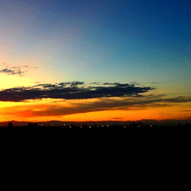
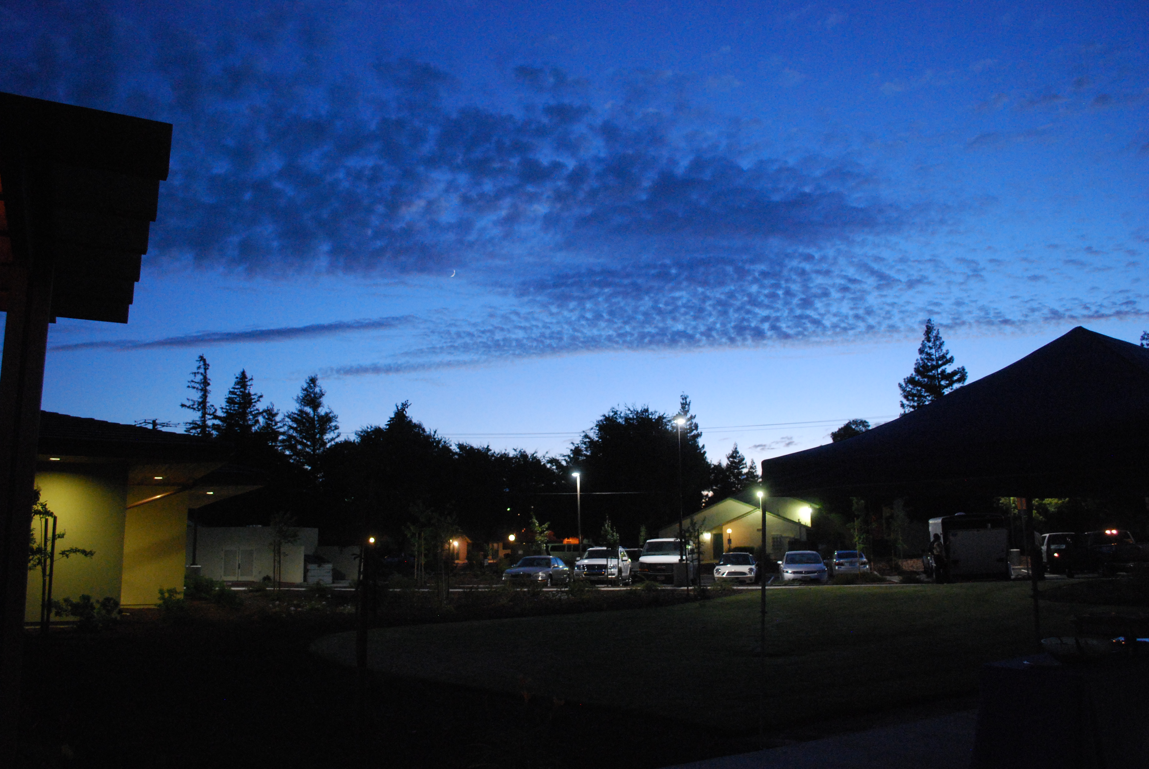
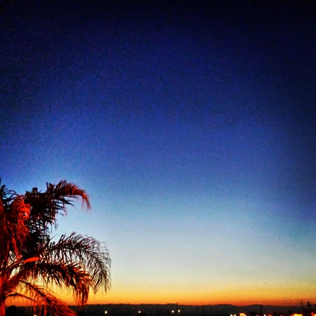
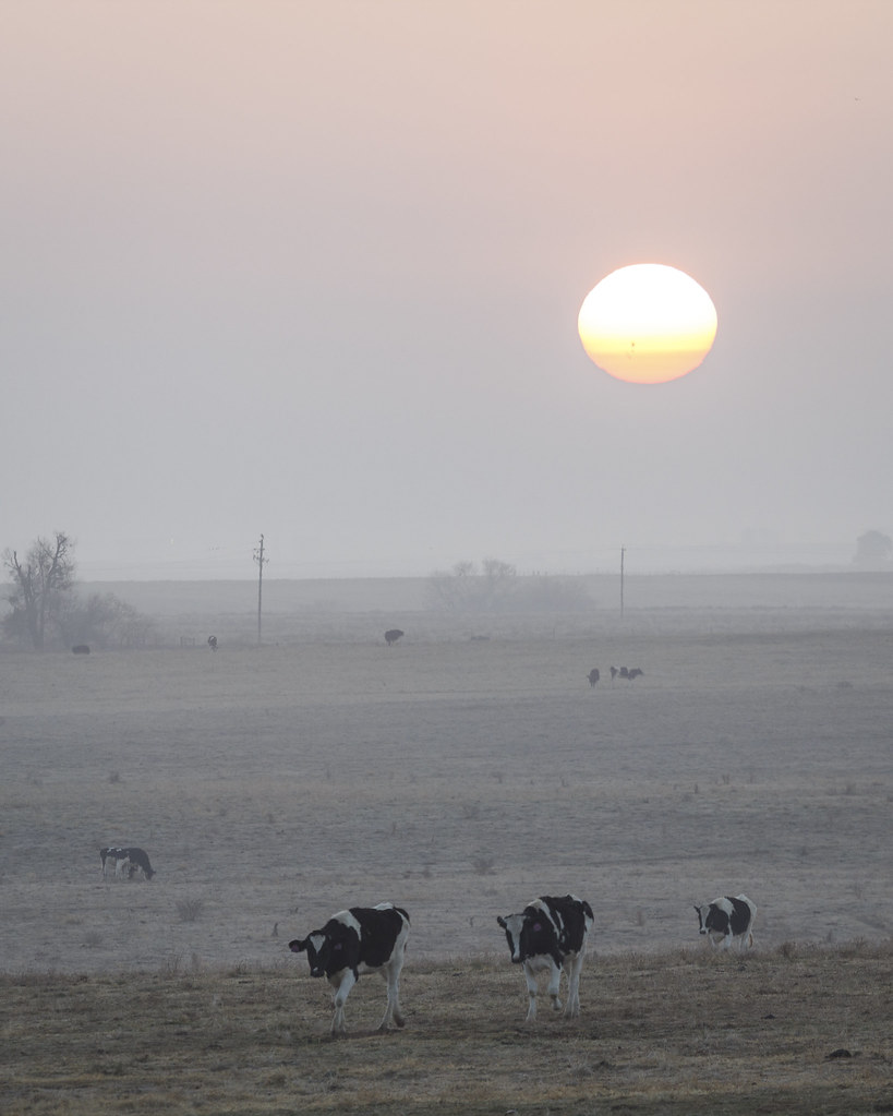
写真

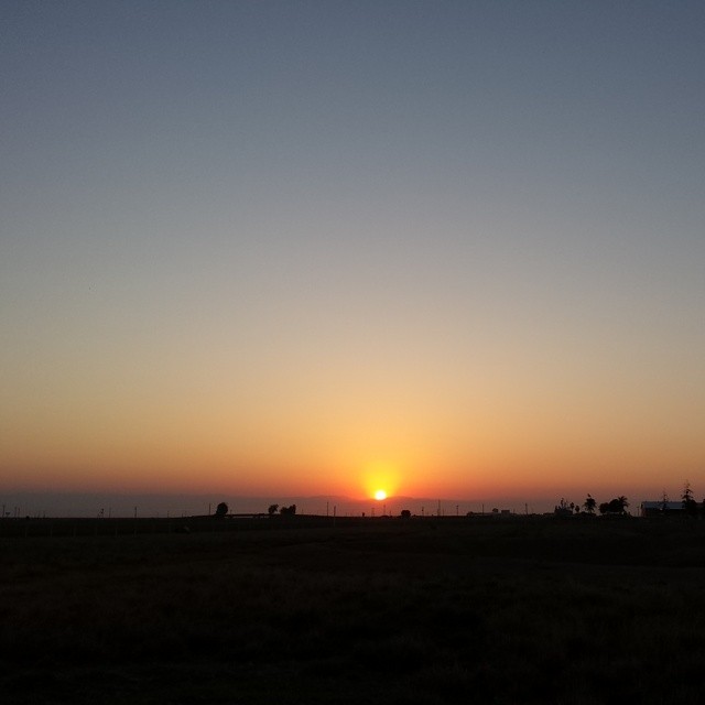
Nr Merced, California.

Nr Merced, California.
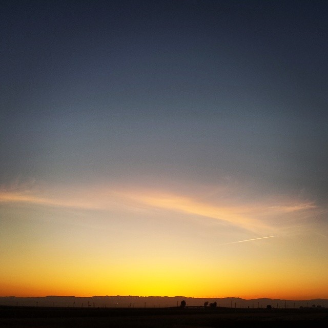
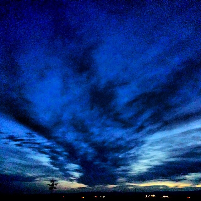
#sunrise #dawn #Chowchilla
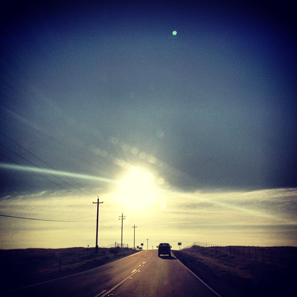
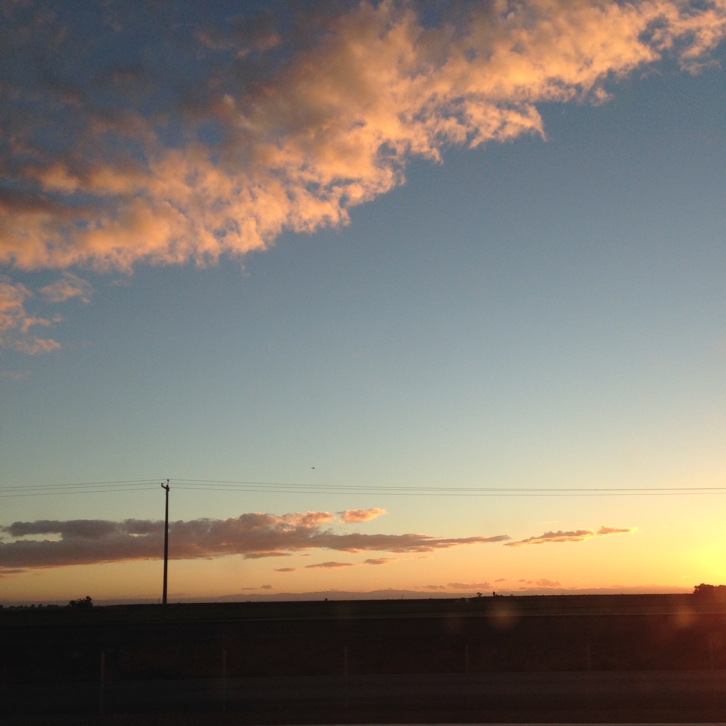
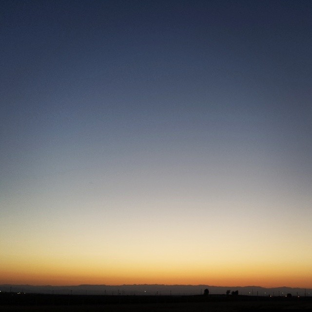
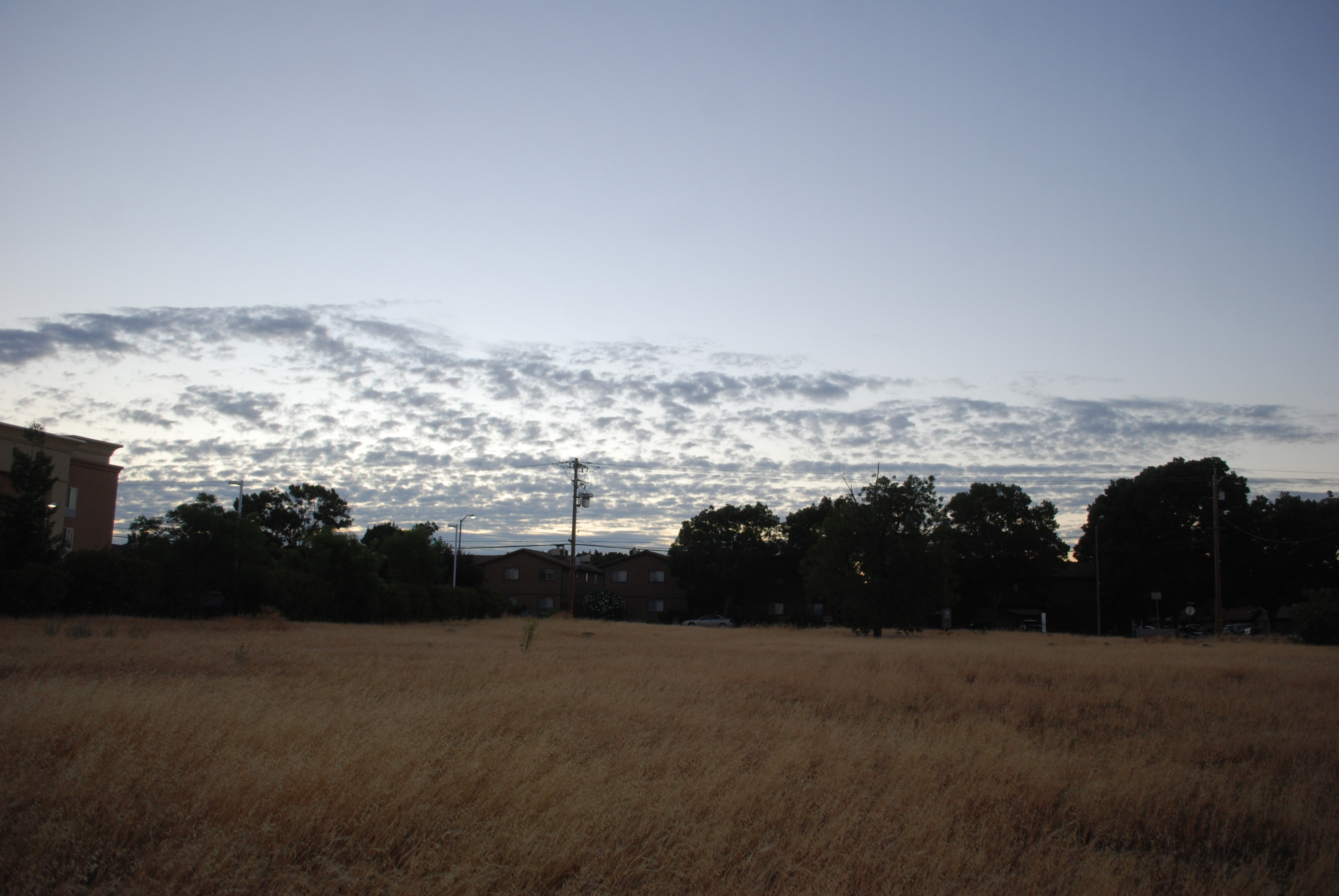
#herecomesthesun #highway #sunset
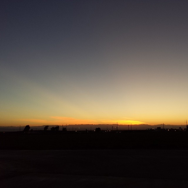
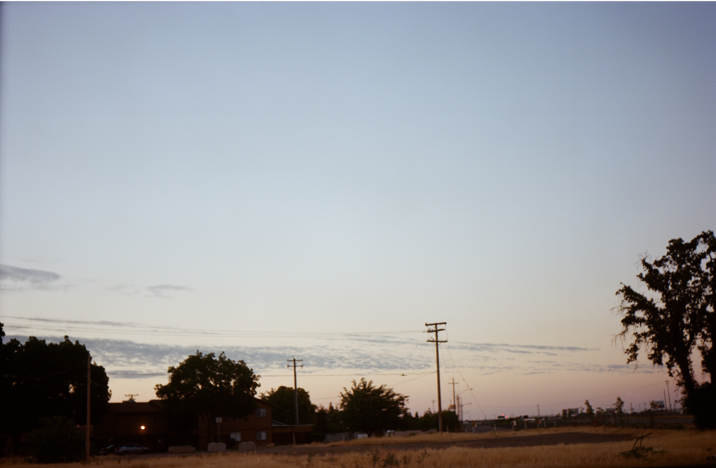
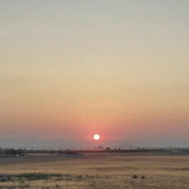
#dawn #Chowchilla #chemtrails

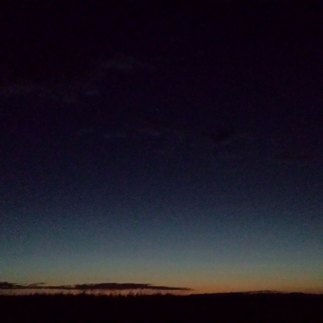
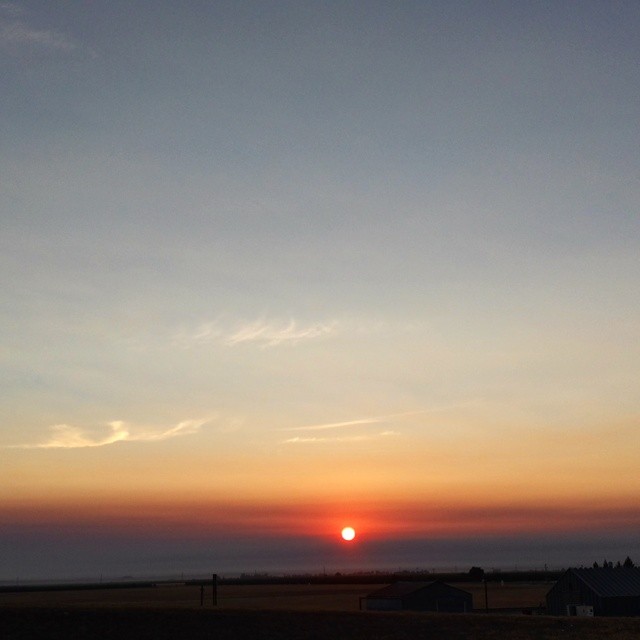
My landscape photos
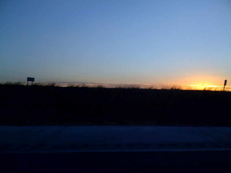
#dawn#nofilter
# no filter #sunrise

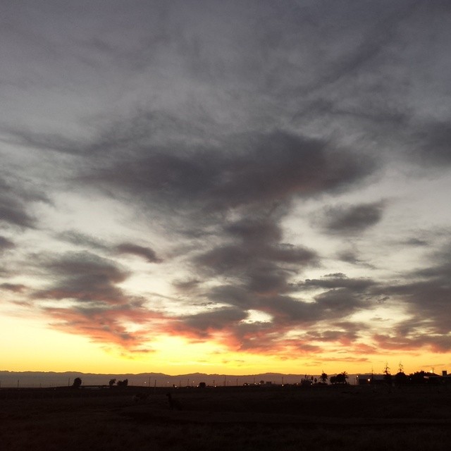
"G Street"
Vista Avenue, Merced County, California
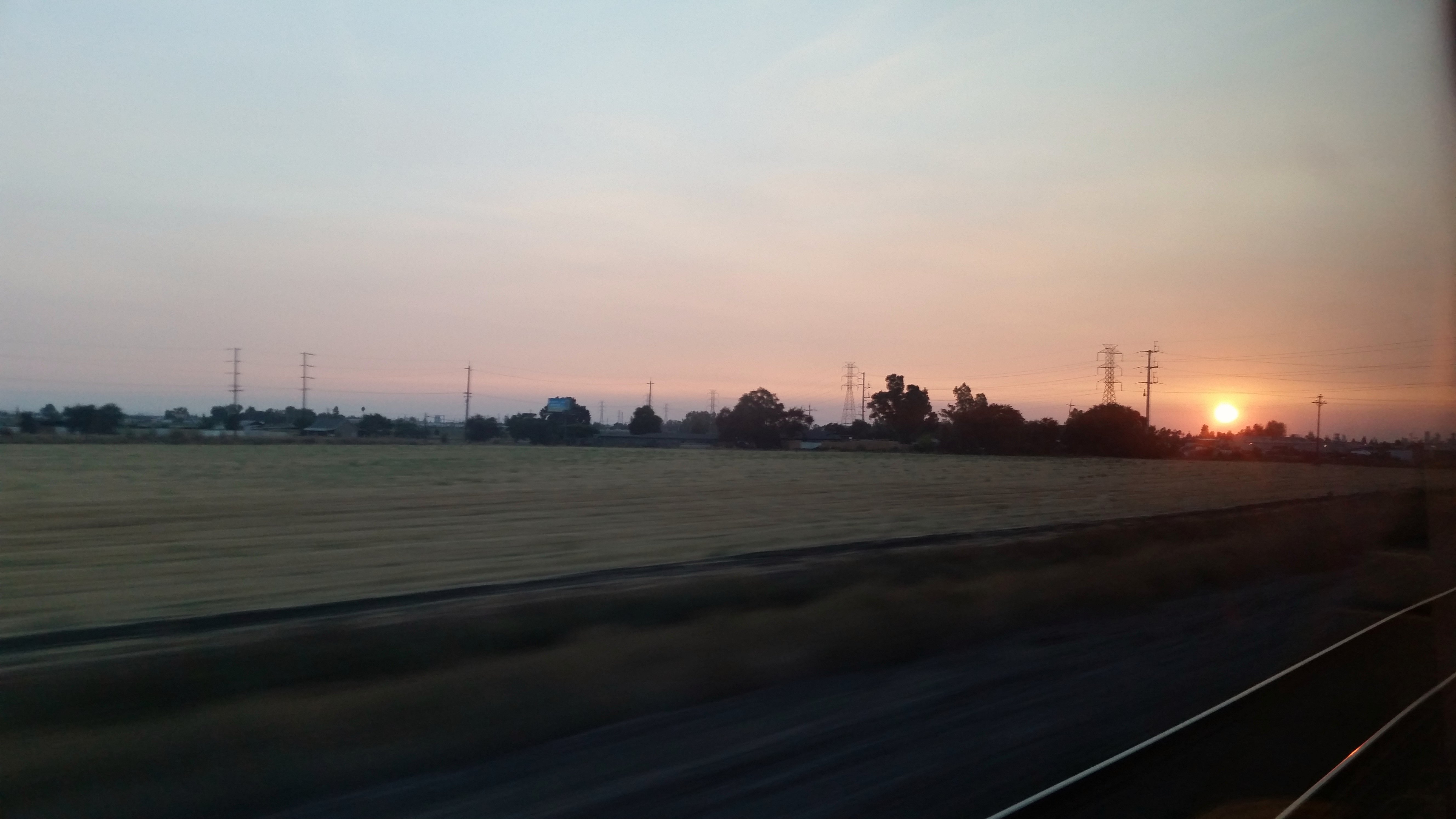
Riding off into the sunset...
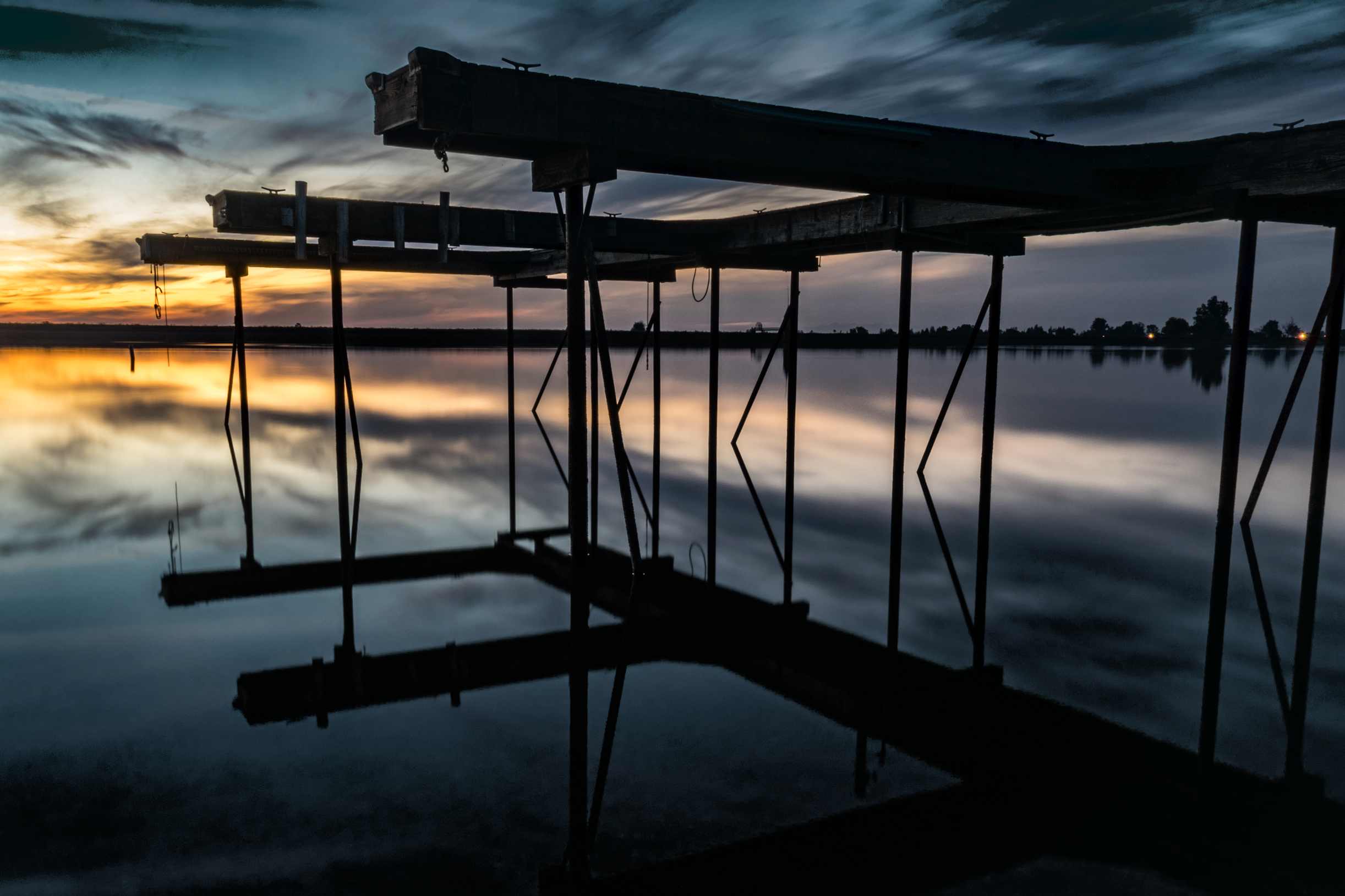
Lake Pier
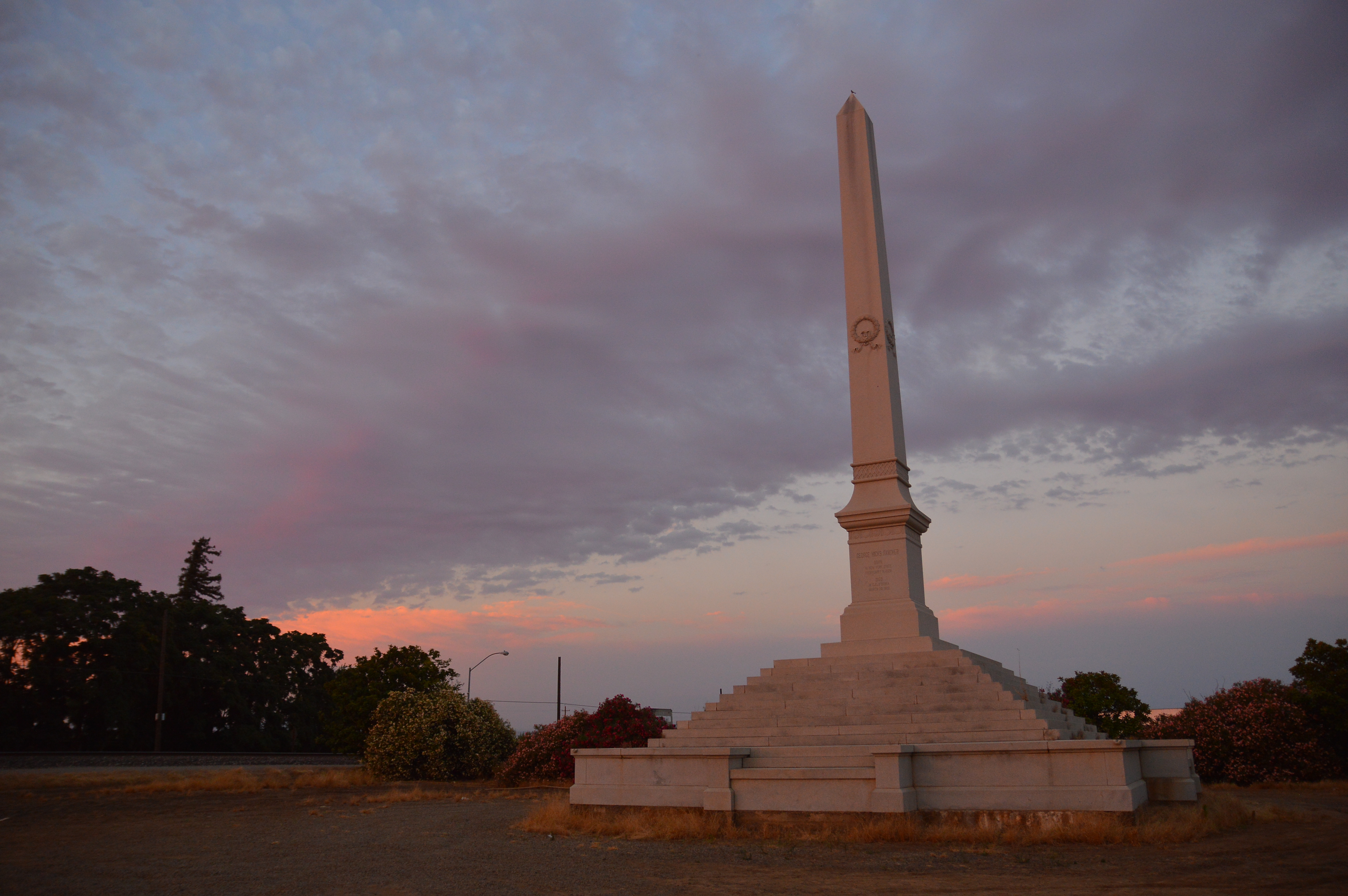
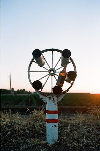
Obelisk on Highway 140
My landscape photos
#sunrise #dawn #Chowchilla #nofilter

Merced County Fair
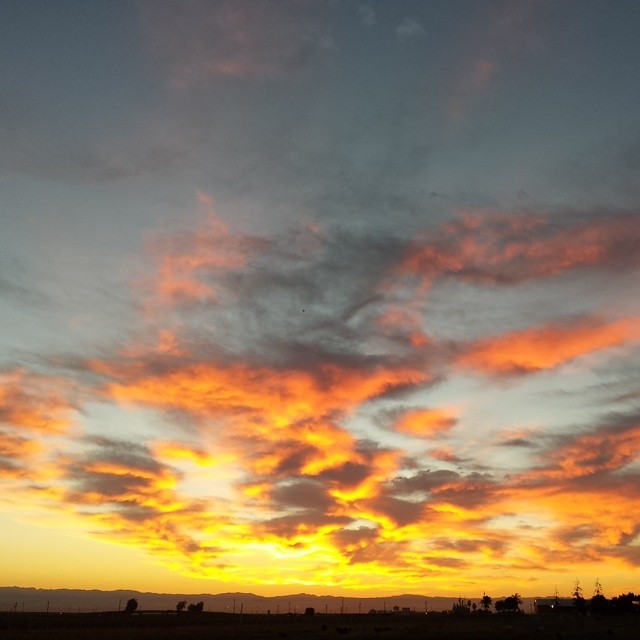
Winter Sunset
The sunset Merced 6-22-12

Nr Merced, California.

2013-10-09 18.11.46 HDR
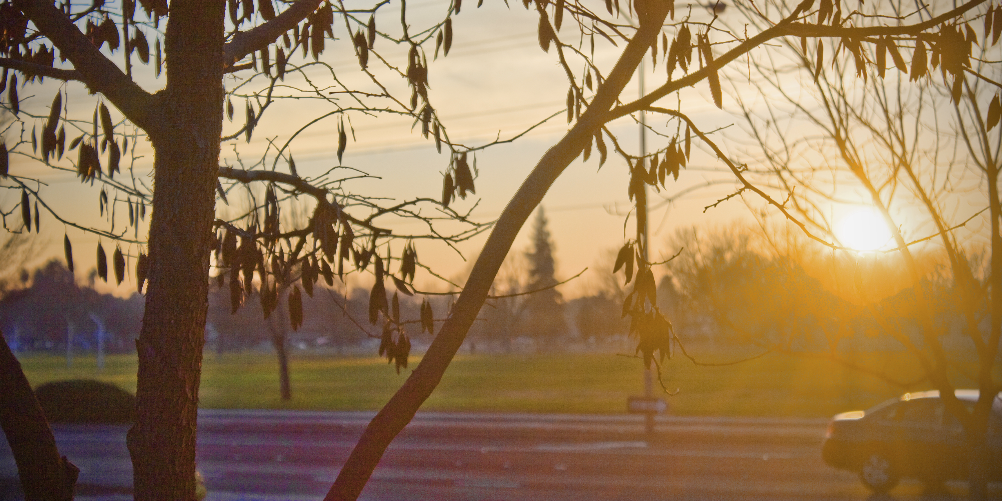
#sunrise #dawn
#dawn #sunrise
#nofilter #sunrise #dawn #Chowchilla
#sunrise #dawn #Chowchilla
Good morning #sunshine #sunrise #dawn #Chowchilla
Sunrise Merced 6-23-12 2
#sunrise Chowchilla smoke from French Fire
Polluted Sunrise
Sunrise Mer 7-23-12 1

Sunrise Merced 6-23-12 1
# no filter #sunrise
Sunrise on the 99

Sunrise Mer 7-23-12 2
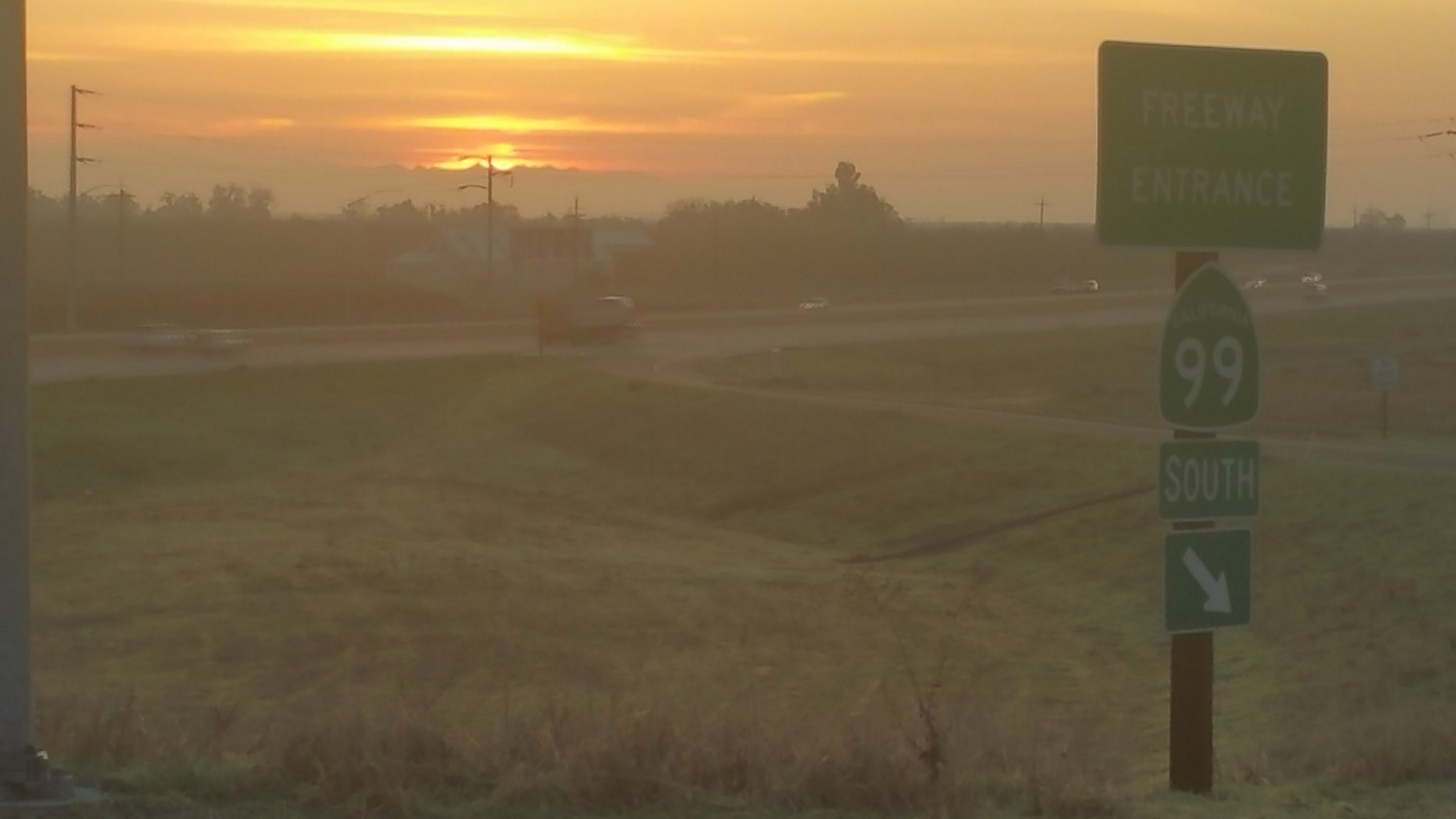
Sunrise. Highway 99 & Plainsburg Road, north of Chowchilla
アメリカ合衆国 カリフォルニア州 プラナダの地図
別の場所を検索
近所の場所
Broadway Ave, Planada, CA アメリカ合衆国
アメリカ合衆国 〒 カリフォルニア州 ル・グランド
Nellie St, Merced, CA アメリカ合衆国
CA-99, Chowchilla, CA アメリカ合衆国
Sonora Ave, Merced, CA アメリカ合衆国
Chowchilla Blvd, Chowchilla, CA アメリカ合衆国
アメリカ合衆国 カリフォルニア州 マーセド
W Main St, Merced, CA アメリカ合衆国
アメリカ合衆国 〒 カリフォルニア州 チャウチラ
N Bear Creek Dr, Merced, CA アメリカ合衆国
Toulon Ct, Merced, CA アメリカ合衆国
Unnamed Road, Chowchilla, CA アメリカ合衆国
Demoss Ct, Merced, CA アメリカ合衆国
Indian Gulch Exn, Catheys Valley, CA アメリカ合衆国
N State Hwy 59, Merced, CA アメリカ合衆国
アメリカ合衆国 〒 カリフォルニア州 ホーニートス
High St, Hornitos, CA アメリカ合衆国
58 E El Nido Rd, El Nido, CA アメリカ合衆国
アメリカ合衆国 〒 カリフォルニア州 エル・ニード
アメリカ合衆国 カリフォルニア州 サン・ウォーキン川
最近の検索
- アメリカ合衆国 アラスカ州 レッド・ドッグ・マイン日の出日の入り時間
- Am bhf, Borken, ドイツアム・バーンホーフ日の出日の入り時間
- 4th St E, Sonoma, CA, USA日の出日の入り時間
- Oakland Ave, Williamsport, PA アメリカ合衆国日の出日の入り時間
- Via Roma, Pieranica CR, イタリアローマ通り日の出日の入り時間
- クロアチア 〒 ドゥブロブニク GradClock Tower of Dubrovnik日の出日の入り時間
- アルゼンチン チュブ州 トレリュー日の出日の入り時間
- Hartfords Bluff Cir, Mt Pleasant, SC アメリカ合衆国日の出日の入り時間
- 日本、熊本県熊本市北区日の出日の入り時間
- 中華人民共和国 福州市 平潭県 平潭島日の出日の入り時間