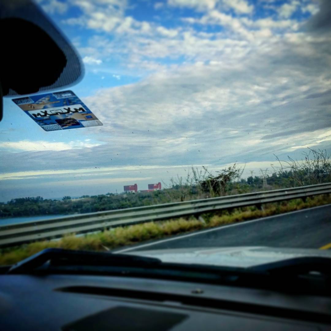
メキシコ ベラクルス州 パルマ・ソラ日の出日の入り時間
Location: メキシコ > ベラクルス州 >
時間帯:
America/Mexico_City
現地時間:
2025-07-08 07:22:20
経度:
-96.4305069
緯度:
19.7697613
今日の日の出時刻:
06:53:00 AM
今日の日の入時刻:
08:08:53 PM
今日の日長:
13h 15m 53s
明日の日の出時刻:
06:53:22 AM
明日の日の入時刻:
08:08:48 PM
明日の日長:
13h 15m 26s
すべて表示する
| 日付 | 日出 | 日没 | 日長 |
|---|---|---|---|
| 2025年01月01日 | 07:00:45 AM | 05:59:00 PM | 10h 58m 15s |
| 2025年01月02日 | 07:01:03 AM | 05:59:37 PM | 10h 58m 34s |
| 2025年01月03日 | 07:01:20 AM | 06:00:15 PM | 10h 58m 55s |
| 2025年01月04日 | 07:01:35 AM | 06:00:53 PM | 10h 59m 18s |
| 2025年01月05日 | 07:01:49 AM | 06:01:31 PM | 10h 59m 42s |
| 2025年01月06日 | 07:02:02 AM | 06:02:10 PM | 11h 0m 8s |
| 2025年01月07日 | 07:02:14 AM | 06:02:49 PM | 11h 0m 35s |
| 2025年01月08日 | 07:02:25 AM | 06:03:28 PM | 11h 1m 3s |
| 2025年01月09日 | 07:02:34 AM | 06:04:07 PM | 11h 1m 33s |
| 2025年01月10日 | 07:02:43 AM | 06:04:46 PM | 11h 2m 3s |
| 2025年01月11日 | 07:02:49 AM | 06:05:25 PM | 11h 2m 36s |
| 2025年01月12日 | 07:02:55 AM | 06:06:05 PM | 11h 3m 10s |
| 2025年01月13日 | 07:02:59 AM | 06:06:44 PM | 11h 3m 45s |
| 2025年01月14日 | 07:03:02 AM | 06:07:23 PM | 11h 4m 21s |
| 2025年01月15日 | 07:03:04 AM | 06:08:02 PM | 11h 4m 58s |
| 2025年01月16日 | 07:03:05 AM | 06:08:42 PM | 11h 5m 37s |
| 2025年01月17日 | 07:03:04 AM | 06:09:21 PM | 11h 6m 17s |
| 2025年01月18日 | 07:03:02 AM | 06:09:59 PM | 11h 6m 57s |
| 2025年01月19日 | 07:02:58 AM | 06:10:38 PM | 11h 7m 40s |
| 2025年01月20日 | 07:02:54 AM | 06:11:16 PM | 11h 8m 22s |
| 2025年01月21日 | 07:02:48 AM | 06:11:55 PM | 11h 9m 7s |
| 2025年01月22日 | 07:02:40 AM | 06:12:33 PM | 11h 9m 53s |
| 2025年01月23日 | 07:02:32 AM | 06:13:10 PM | 11h 10m 38s |
| 2025年01月24日 | 07:02:22 AM | 06:13:47 PM | 11h 11m 25s |
| 2025年01月25日 | 07:02:11 AM | 06:14:24 PM | 11h 12m 13s |
| 2025年01月26日 | 07:01:58 AM | 06:15:01 PM | 11h 13m 3s |
| 2025年01月27日 | 07:01:45 AM | 06:15:37 PM | 11h 13m 52s |
| 2025年01月28日 | 07:01:30 AM | 06:16:13 PM | 11h 14m 43s |
| 2025年01月29日 | 07:01:14 AM | 06:16:49 PM | 11h 15m 35s |
| 2025年01月30日 | 07:00:56 AM | 06:17:24 PM | 11h 16m 28s |
| 2025年01月31日 | 07:00:38 AM | 06:17:59 PM | 11h 17m 21s |
| 2025年02月01日 | 07:00:18 AM | 06:18:33 PM | 11h 18m 15s |
| 2025年02月02日 | 06:59:57 AM | 06:19:07 PM | 11h 19m 10s |
| 2025年02月03日 | 06:59:35 AM | 06:19:40 PM | 11h 20m 5s |
| 2025年02月04日 | 06:59:12 AM | 06:20:13 PM | 11h 21m 1s |
| 2025年02月05日 | 06:58:47 AM | 06:20:46 PM | 11h 21m 59s |
| 2025年02月06日 | 06:58:22 AM | 06:21:18 PM | 11h 22m 56s |
| 2025年02月07日 | 06:57:55 AM | 06:21:49 PM | 11h 23m 54s |
| 2025年02月08日 | 06:57:27 AM | 06:22:20 PM | 11h 24m 53s |
| 2025年02月09日 | 06:56:58 AM | 06:22:51 PM | 11h 25m 53s |
| 2025年02月10日 | 06:56:29 AM | 06:23:21 PM | 11h 26m 52s |
| 2025年02月11日 | 06:55:58 AM | 06:23:50 PM | 11h 27m 52s |
| 2025年02月12日 | 06:55:26 AM | 06:24:19 PM | 11h 28m 53s |
| 2025年02月13日 | 06:54:53 AM | 06:24:48 PM | 11h 29m 55s |
| 2025年02月14日 | 06:54:19 AM | 06:25:16 PM | 11h 30m 57s |
| 2025年02月15日 | 06:53:45 AM | 06:25:43 PM | 11h 31m 58s |
| 2025年02月16日 | 06:53:09 AM | 06:26:10 PM | 11h 33m 1s |
| 2025年02月17日 | 06:52:33 AM | 06:26:37 PM | 11h 34m 4s |
| 2025年02月18日 | 06:51:55 AM | 06:27:03 PM | 11h 35m 8s |
| 2025年02月19日 | 06:51:17 AM | 06:27:28 PM | 11h 36m 11s |
| 2025年02月20日 | 06:50:38 AM | 06:27:53 PM | 11h 37m 15s |
| 2025年02月21日 | 06:49:58 AM | 06:28:18 PM | 11h 38m 20s |
| 2025年02月22日 | 06:49:17 AM | 06:28:42 PM | 11h 39m 25s |
| 2025年02月23日 | 06:48:36 AM | 06:29:06 PM | 11h 40m 30s |
| 2025年02月24日 | 06:47:54 AM | 06:29:29 PM | 11h 41m 35s |
| 2025年02月25日 | 06:47:11 AM | 06:29:52 PM | 11h 42m 41s |
| 2025年02月26日 | 06:46:28 AM | 06:30:14 PM | 11h 43m 46s |
| 2025年02月27日 | 06:45:43 AM | 06:30:36 PM | 11h 44m 53s |
| 2025年02月28日 | 06:44:59 AM | 06:30:58 PM | 11h 45m 59s |
| 2025年03月01日 | 06:44:13 AM | 06:31:19 PM | 11h 47m 6s |
| 2025年03月02日 | 06:43:27 AM | 06:31:40 PM | 11h 48m 13s |
| 2025年03月03日 | 06:42:41 AM | 06:32:00 PM | 11h 49m 19s |
| 2025年03月04日 | 06:41:54 AM | 06:32:20 PM | 11h 50m 26s |
| 2025年03月05日 | 06:41:06 AM | 06:32:40 PM | 11h 51m 34s |
| 2025年03月06日 | 06:40:18 AM | 06:32:59 PM | 11h 52m 41s |
| 2025年03月07日 | 06:39:30 AM | 06:33:19 PM | 11h 53m 49s |
| 2025年03月08日 | 06:38:41 AM | 06:33:37 PM | 11h 54m 56s |
| 2025年03月09日 | 06:37:52 AM | 06:33:56 PM | 11h 56m 4s |
| 2025年03月10日 | 06:37:02 AM | 06:34:14 PM | 11h 57m 12s |
| 2025年03月11日 | 06:36:12 AM | 06:34:32 PM | 11h 58m 20s |
| 2025年03月12日 | 06:35:22 AM | 06:34:50 PM | 11h 59m 28s |
| 2025年03月13日 | 06:34:31 AM | 06:35:07 PM | 12h 0m 36s |
| 2025年03月14日 | 06:33:41 AM | 06:35:24 PM | 12h 1m 43s |
| 2025年03月15日 | 06:32:49 AM | 06:35:41 PM | 12h 2m 52s |
| 2025年03月16日 | 06:31:58 AM | 06:35:58 PM | 12h 4m 0s |
| 2025年03月17日 | 06:31:07 AM | 06:36:15 PM | 12h 5m 8s |
| 2025年03月18日 | 06:30:15 AM | 06:36:31 PM | 12h 6m 16s |
| 2025年03月19日 | 06:29:23 AM | 06:36:48 PM | 12h 7m 25s |
| 2025年03月20日 | 06:28:31 AM | 06:37:04 PM | 12h 8m 33s |
| 2025年03月21日 | 06:27:39 AM | 06:37:20 PM | 12h 9m 41s |
| 2025年03月22日 | 06:26:47 AM | 06:37:36 PM | 12h 10m 49s |
| 2025年03月23日 | 06:25:55 AM | 06:37:52 PM | 12h 11m 57s |
| 2025年03月24日 | 06:25:03 AM | 06:38:08 PM | 12h 13m 5s |
| 2025年03月25日 | 06:24:11 AM | 06:38:24 PM | 12h 14m 13s |
| 2025年03月26日 | 06:23:19 AM | 06:38:40 PM | 12h 15m 21s |
| 2025年03月27日 | 06:22:27 AM | 06:38:56 PM | 12h 16m 29s |
| 2025年03月28日 | 06:21:35 AM | 06:39:11 PM | 12h 17m 36s |
| 2025年03月29日 | 06:20:44 AM | 06:39:27 PM | 12h 18m 43s |
| 2025年03月30日 | 06:19:52 AM | 06:39:43 PM | 12h 19m 51s |
| 2025年03月31日 | 06:19:01 AM | 06:39:59 PM | 12h 20m 58s |
| 2025年04月01日 | 06:18:09 AM | 06:40:15 PM | 12h 22m 6s |
| 2025年04月02日 | 06:17:18 AM | 06:40:31 PM | 12h 23m 13s |
| 2025年04月03日 | 06:16:28 AM | 06:40:47 PM | 12h 24m 19s |
| 2025年04月04日 | 06:15:37 AM | 06:41:03 PM | 12h 25m 26s |
| 2025年04月05日 | 06:14:47 AM | 06:41:19 PM | 12h 26m 32s |
| 2025年04月06日 | 07:13:59 AM | 07:41:34 PM | 12h 27m 35s |
| 2025年04月07日 | 07:13:09 AM | 07:41:51 PM | 12h 28m 42s |
| 2025年04月08日 | 07:12:20 AM | 07:42:07 PM | 12h 29m 47s |
| 2025年04月09日 | 07:11:31 AM | 07:42:24 PM | 12h 30m 53s |
| 2025年04月10日 | 07:10:43 AM | 07:42:41 PM | 12h 31m 58s |
| 2025年04月11日 | 07:09:55 AM | 07:42:58 PM | 12h 33m 3s |
| 2025年04月12日 | 07:09:07 AM | 07:43:15 PM | 12h 34m 8s |
| 2025年04月13日 | 07:08:20 AM | 07:43:32 PM | 12h 35m 12s |
| 2025年04月14日 | 07:07:34 AM | 07:43:50 PM | 12h 36m 16s |
| 2025年04月15日 | 07:06:48 AM | 07:44:08 PM | 12h 37m 20s |
| 2025年04月16日 | 07:06:02 AM | 07:44:26 PM | 12h 38m 24s |
| 2025年04月17日 | 07:05:17 AM | 07:44:44 PM | 12h 39m 27s |
| 2025年04月18日 | 07:04:33 AM | 07:45:02 PM | 12h 40m 29s |
| 2025年04月19日 | 07:03:49 AM | 07:45:21 PM | 12h 41m 32s |
| 2025年04月20日 | 07:03:06 AM | 07:45:40 PM | 12h 42m 34s |
| 2025年04月21日 | 07:02:23 AM | 07:45:59 PM | 12h 43m 36s |
| 2025年04月22日 | 07:01:42 AM | 07:46:18 PM | 12h 44m 36s |
| 2025年04月23日 | 07:01:01 AM | 07:46:38 PM | 12h 45m 37s |
| 2025年04月24日 | 07:00:20 AM | 07:46:57 PM | 12h 46m 37s |
| 2025年04月25日 | 06:59:41 AM | 07:47:17 PM | 12h 47m 36s |
| 2025年04月26日 | 06:59:02 AM | 07:47:38 PM | 12h 48m 36s |
| 2025年04月27日 | 06:58:24 AM | 07:47:58 PM | 12h 49m 34s |
| 2025年04月28日 | 06:57:46 AM | 07:48:19 PM | 12h 50m 33s |
| 2025年04月29日 | 06:57:10 AM | 07:48:40 PM | 12h 51m 30s |
| 2025年04月30日 | 06:56:34 AM | 07:49:01 PM | 12h 52m 27s |
| 2025年05月01日 | 06:55:59 AM | 07:49:23 PM | 12h 53m 24s |
| 2025年05月02日 | 06:55:25 AM | 07:49:44 PM | 12h 54m 19s |
| 2025年05月03日 | 06:54:52 AM | 07:50:06 PM | 12h 55m 14s |
| 2025年05月04日 | 06:54:20 AM | 07:50:28 PM | 12h 56m 8s |
| 2025年05月05日 | 06:53:48 AM | 07:50:51 PM | 12h 57m 3s |
| 2025年05月06日 | 06:53:18 AM | 07:51:13 PM | 12h 57m 55s |
| 2025年05月07日 | 06:52:49 AM | 07:51:36 PM | 12h 58m 47s |
| 2025年05月08日 | 06:52:20 AM | 07:51:59 PM | 12h 59m 39s |
| 2025年05月09日 | 06:51:52 AM | 07:52:22 PM | 13h 0m 30s |
| 2025年05月10日 | 06:51:26 AM | 07:52:46 PM | 13h 1m 20s |
| 2025年05月11日 | 06:51:00 AM | 07:53:09 PM | 13h 2m 9s |
| 2025年05月12日 | 06:50:36 AM | 07:53:33 PM | 13h 2m 57s |
| 2025年05月13日 | 06:50:12 AM | 07:53:57 PM | 13h 3m 45s |
| 2025年05月14日 | 06:49:49 AM | 07:54:21 PM | 13h 4m 32s |
| 2025年05月15日 | 06:49:28 AM | 07:54:45 PM | 13h 5m 17s |
| 2025年05月16日 | 06:49:07 AM | 07:55:09 PM | 13h 6m 2s |
| 2025年05月17日 | 06:48:48 AM | 07:55:33 PM | 13h 6m 45s |
| 2025年05月18日 | 06:48:29 AM | 07:55:57 PM | 13h 7m 28s |
| 2025年05月19日 | 06:48:12 AM | 07:56:21 PM | 13h 8m 9s |
| 2025年05月20日 | 06:47:55 AM | 07:56:46 PM | 13h 8m 51s |
| 2025年05月21日 | 06:47:40 AM | 07:57:10 PM | 13h 9m 30s |
| 2025年05月22日 | 06:47:26 AM | 07:57:34 PM | 13h 10m 8s |
| 2025年05月23日 | 06:47:13 AM | 07:57:59 PM | 13h 10m 46s |
| 2025年05月24日 | 06:47:00 AM | 07:58:23 PM | 13h 11m 23s |
| 2025年05月25日 | 06:46:49 AM | 07:58:47 PM | 13h 11m 58s |
| 2025年05月26日 | 06:46:39 AM | 07:59:11 PM | 13h 12m 32s |
| 2025年05月27日 | 06:46:30 AM | 07:59:35 PM | 13h 13m 5s |
| 2025年05月28日 | 06:46:22 AM | 07:59:59 PM | 13h 13m 37s |
| 2025年05月29日 | 06:46:15 AM | 08:00:22 PM | 13h 14m 7s |
| 2025年05月30日 | 06:46:09 AM | 08:00:46 PM | 13h 14m 37s |
| 2025年05月31日 | 06:46:05 AM | 08:01:09 PM | 13h 15m 4s |
| 2025年06月01日 | 06:46:01 AM | 08:01:32 PM | 13h 15m 31s |
| 2025年06月02日 | 06:45:58 AM | 08:01:54 PM | 13h 15m 56s |
| 2025年06月03日 | 06:45:56 AM | 08:02:17 PM | 13h 16m 21s |
| 2025年06月04日 | 06:45:55 AM | 08:02:39 PM | 13h 16m 44s |
| 2025年06月05日 | 06:45:55 AM | 08:03:00 PM | 13h 17m 5s |
| 2025年06月06日 | 06:45:57 AM | 08:03:22 PM | 13h 17m 25s |
| 2025年06月07日 | 06:45:59 AM | 08:03:43 PM | 13h 17m 44s |
| 2025年06月08日 | 06:46:02 AM | 08:04:03 PM | 13h 18m 1s |
| 2025年06月09日 | 06:46:06 AM | 08:04:23 PM | 13h 18m 17s |
| 2025年06月10日 | 06:46:11 AM | 08:04:43 PM | 13h 18m 32s |
| 2025年06月11日 | 06:46:16 AM | 08:05:02 PM | 13h 18m 46s |
| 2025年06月12日 | 06:46:23 AM | 08:05:20 PM | 13h 18m 57s |
| 2025年06月13日 | 06:46:31 AM | 08:05:38 PM | 13h 19m 7s |
| 2025年06月14日 | 06:46:39 AM | 08:05:55 PM | 13h 19m 16s |
| 2025年06月15日 | 06:46:48 AM | 08:06:12 PM | 13h 19m 24s |
| 2025年06月16日 | 06:46:58 AM | 08:06:28 PM | 13h 19m 30s |
| 2025年06月17日 | 06:47:09 AM | 08:06:43 PM | 13h 19m 34s |
| 2025年06月18日 | 06:47:21 AM | 08:06:58 PM | 13h 19m 37s |
| 2025年06月19日 | 06:47:33 AM | 08:07:12 PM | 13h 19m 39s |
| 2025年06月20日 | 06:47:46 AM | 08:07:25 PM | 13h 19m 39s |
| 2025年06月21日 | 06:47:59 AM | 08:07:37 PM | 13h 19m 38s |
| 2025年06月22日 | 06:48:14 AM | 08:07:49 PM | 13h 19m 35s |
| 2025年06月23日 | 06:48:29 AM | 08:08:00 PM | 13h 19m 31s |
| 2025年06月24日 | 06:48:44 AM | 08:08:09 PM | 13h 19m 25s |
| 2025年06月25日 | 06:49:00 AM | 08:08:19 PM | 13h 19m 19s |
| 2025年06月26日 | 06:49:17 AM | 08:08:27 PM | 13h 19m 10s |
| 2025年06月27日 | 06:49:34 AM | 08:08:34 PM | 13h 19m 0s |
| 2025年06月28日 | 06:49:52 AM | 08:08:40 PM | 13h 18m 48s |
| 2025年06月29日 | 06:50:10 AM | 08:08:46 PM | 13h 18m 36s |
| 2025年06月30日 | 06:50:29 AM | 08:08:50 PM | 13h 18m 21s |
| 2025年07月01日 | 06:50:48 AM | 08:08:54 PM | 13h 18m 6s |
| 2025年07月02日 | 06:51:08 AM | 08:08:56 PM | 13h 17m 48s |
| 2025年07月03日 | 06:51:28 AM | 08:08:58 PM | 13h 17m 30s |
| 2025年07月04日 | 06:51:48 AM | 08:08:59 PM | 13h 17m 11s |
| 2025年07月05日 | 06:52:09 AM | 08:08:58 PM | 13h 16m 49s |
| 2025年07月06日 | 06:52:29 AM | 08:08:57 PM | 13h 16m 28s |
| 2025年07月07日 | 06:52:51 AM | 08:08:54 PM | 13h 16m 3s |
| 2025年07月08日 | 06:53:12 AM | 08:08:50 PM | 13h 15m 38s |
| 2025年07月09日 | 06:53:34 AM | 08:08:46 PM | 13h 15m 12s |
| 2025年07月10日 | 06:53:55 AM | 08:08:40 PM | 13h 14m 45s |
| 2025年07月11日 | 06:54:17 AM | 08:08:33 PM | 13h 14m 16s |
| 2025年07月12日 | 06:54:39 AM | 08:08:25 PM | 13h 13m 46s |
| 2025年07月13日 | 06:55:02 AM | 08:08:16 PM | 13h 13m 14s |
| 2025年07月14日 | 06:55:24 AM | 08:08:06 PM | 13h 12m 42s |
| 2025年07月15日 | 06:55:46 AM | 08:07:55 PM | 13h 12m 9s |
| 2025年07月16日 | 06:56:09 AM | 08:07:43 PM | 13h 11m 34s |
| 2025年07月17日 | 06:56:31 AM | 08:07:30 PM | 13h 10m 59s |
| 2025年07月18日 | 06:56:54 AM | 08:07:15 PM | 13h 10m 21s |
| 2025年07月19日 | 06:57:16 AM | 08:07:00 PM | 13h 9m 44s |
| 2025年07月20日 | 06:57:38 AM | 08:06:43 PM | 13h 9m 5s |
| 2025年07月21日 | 06:58:01 AM | 08:06:25 PM | 13h 8m 24s |
| 2025年07月22日 | 06:58:23 AM | 08:06:07 PM | 13h 7m 44s |
| 2025年07月23日 | 06:58:45 AM | 08:05:47 PM | 13h 7m 2s |
| 2025年07月24日 | 06:59:07 AM | 08:05:26 PM | 13h 6m 19s |
| 2025年07月25日 | 06:59:29 AM | 08:05:04 PM | 13h 5m 35s |
| 2025年07月26日 | 06:59:51 AM | 08:04:41 PM | 13h 4m 50s |
| 2025年07月27日 | 07:00:13 AM | 08:04:17 PM | 13h 4m 4s |
| 2025年07月28日 | 07:00:34 AM | 08:03:52 PM | 13h 3m 18s |
| 2025年07月29日 | 07:00:55 AM | 08:03:25 PM | 13h 2m 30s |
| 2025年07月30日 | 07:01:16 AM | 08:02:58 PM | 13h 1m 42s |
| 2025年07月31日 | 07:01:37 AM | 08:02:30 PM | 13h 0m 53s |
| 2025年08月01日 | 07:01:58 AM | 08:02:01 PM | 13h 0m 3s |
| 2025年08月02日 | 07:02:18 AM | 08:01:31 PM | 12h 59m 13s |
| 2025年08月03日 | 07:02:39 AM | 08:00:59 PM | 12h 58m 20s |
| 2025年08月04日 | 07:02:59 AM | 08:00:27 PM | 12h 57m 28s |
| 2025年08月05日 | 07:03:18 AM | 07:59:54 PM | 12h 56m 36s |
| 2025年08月06日 | 07:03:38 AM | 07:59:20 PM | 12h 55m 42s |
| 2025年08月07日 | 07:03:57 AM | 07:58:45 PM | 12h 54m 48s |
| 2025年08月08日 | 07:04:16 AM | 07:58:09 PM | 12h 53m 53s |
| 2025年08月09日 | 07:04:35 AM | 07:57:33 PM | 12h 52m 58s |
| 2025年08月10日 | 07:04:53 AM | 07:56:55 PM | 12h 52m 2s |
| 2025年08月11日 | 07:05:11 AM | 07:56:17 PM | 12h 51m 6s |
| 2025年08月12日 | 07:05:29 AM | 07:55:37 PM | 12h 50m 8s |
| 2025年08月13日 | 07:05:46 AM | 07:54:57 PM | 12h 49m 11s |
| 2025年08月14日 | 07:06:04 AM | 07:54:17 PM | 12h 48m 13s |
| 2025年08月15日 | 07:06:21 AM | 07:53:35 PM | 12h 47m 14s |
| 2025年08月16日 | 07:06:37 AM | 07:52:53 PM | 12h 46m 16s |
| 2025年08月17日 | 07:06:54 AM | 07:52:09 PM | 12h 45m 15s |
| 2025年08月18日 | 07:07:10 AM | 07:51:26 PM | 12h 44m 16s |
| 2025年08月19日 | 07:07:26 AM | 07:50:41 PM | 12h 43m 15s |
| 2025年08月20日 | 07:07:41 AM | 07:49:56 PM | 12h 42m 15s |
| 2025年08月21日 | 07:07:57 AM | 07:49:10 PM | 12h 41m 13s |
| 2025年08月22日 | 07:08:12 AM | 07:48:23 PM | 12h 40m 11s |
| 2025年08月23日 | 07:08:27 AM | 07:47:36 PM | 12h 39m 9s |
| 2025年08月24日 | 07:08:41 AM | 07:46:49 PM | 12h 38m 8s |
| 2025年08月25日 | 07:08:56 AM | 07:46:00 PM | 12h 37m 4s |
| 2025年08月26日 | 07:09:10 AM | 07:45:12 PM | 12h 36m 2s |
| 2025年08月27日 | 07:09:24 AM | 07:44:22 PM | 12h 34m 58s |
| 2025年08月28日 | 07:09:38 AM | 07:43:32 PM | 12h 33m 54s |
| 2025年08月29日 | 07:09:51 AM | 07:42:42 PM | 12h 32m 51s |
| 2025年08月30日 | 07:10:05 AM | 07:41:51 PM | 12h 31m 46s |
| 2025年08月31日 | 07:10:18 AM | 07:41:00 PM | 12h 30m 42s |
| 2025年09月01日 | 07:10:31 AM | 07:40:08 PM | 12h 29m 37s |
| 2025年09月02日 | 07:10:44 AM | 07:39:16 PM | 12h 28m 32s |
| 2025年09月03日 | 07:10:56 AM | 07:38:24 PM | 12h 27m 28s |
| 2025年09月04日 | 07:11:09 AM | 07:37:31 PM | 12h 26m 22s |
| 2025年09月05日 | 07:11:21 AM | 07:36:38 PM | 12h 25m 17s |
| 2025年09月06日 | 07:11:34 AM | 07:35:45 PM | 12h 24m 11s |
| 2025年09月07日 | 07:11:46 AM | 07:34:51 PM | 12h 23m 5s |
| 2025年09月08日 | 07:11:58 AM | 07:33:58 PM | 12h 22m 0s |
| 2025年09月09日 | 07:12:10 AM | 07:33:03 PM | 12h 20m 53s |
| 2025年09月10日 | 07:12:22 AM | 07:32:09 PM | 12h 19m 47s |
| 2025年09月11日 | 07:12:34 AM | 07:31:15 PM | 12h 18m 41s |
| 2025年09月12日 | 07:12:46 AM | 07:30:20 PM | 12h 17m 34s |
| 2025年09月13日 | 07:12:58 AM | 07:29:26 PM | 12h 16m 28s |
| 2025年09月14日 | 07:13:10 AM | 07:28:31 PM | 12h 15m 21s |
| 2025年09月15日 | 07:13:22 AM | 07:27:36 PM | 12h 14m 14s |
| 2025年09月16日 | 07:13:34 AM | 07:26:41 PM | 12h 13m 7s |
| 2025年09月17日 | 07:13:46 AM | 07:25:46 PM | 12h 12m 0s |
| 2025年09月18日 | 07:13:58 AM | 07:24:51 PM | 12h 10m 53s |
| 2025年09月19日 | 07:14:10 AM | 07:23:56 PM | 12h 9m 46s |
| 2025年09月20日 | 07:14:22 AM | 07:23:02 PM | 12h 8m 40s |
| 2025年09月21日 | 07:14:35 AM | 07:22:07 PM | 12h 7m 32s |
| 2025年09月22日 | 07:14:47 AM | 07:21:12 PM | 12h 6m 25s |
| 2025年09月23日 | 07:15:00 AM | 07:20:18 PM | 12h 5m 18s |
| 2025年09月24日 | 07:15:13 AM | 07:19:23 PM | 12h 4m 10s |
| 2025年09月25日 | 07:15:26 AM | 07:18:29 PM | 12h 3m 3s |
| 2025年09月26日 | 07:15:39 AM | 07:17:35 PM | 12h 1m 56s |
| 2025年09月27日 | 07:15:52 AM | 07:16:42 PM | 12h 0m 50s |
| 2025年09月28日 | 07:16:06 AM | 07:15:48 PM | 11h 59m 42s |
| 2025年09月29日 | 07:16:19 AM | 07:14:55 PM | 11h 58m 36s |
| 2025年09月30日 | 07:16:33 AM | 07:14:02 PM | 11h 57m 29s |
| 2025年10月01日 | 07:16:48 AM | 07:13:10 PM | 11h 56m 22s |
| 2025年10月02日 | 07:17:02 AM | 07:12:17 PM | 11h 55m 15s |
| 2025年10月03日 | 07:17:17 AM | 07:11:26 PM | 11h 54m 9s |
| 2025年10月04日 | 07:17:32 AM | 07:10:34 PM | 11h 53m 2s |
| 2025年10月05日 | 07:17:48 AM | 07:09:43 PM | 11h 51m 55s |
| 2025年10月06日 | 07:18:03 AM | 07:08:53 PM | 11h 50m 50s |
| 2025年10月07日 | 07:18:20 AM | 07:08:03 PM | 11h 49m 43s |
| 2025年10月08日 | 07:18:36 AM | 07:07:13 PM | 11h 48m 37s |
| 2025年10月09日 | 07:18:53 AM | 07:06:24 PM | 11h 47m 31s |
| 2025年10月10日 | 07:19:10 AM | 07:05:36 PM | 11h 46m 26s |
| 2025年10月11日 | 07:19:28 AM | 07:04:48 PM | 11h 45m 20s |
| 2025年10月12日 | 07:19:46 AM | 07:04:01 PM | 11h 44m 15s |
| 2025年10月13日 | 07:20:05 AM | 07:03:15 PM | 11h 43m 10s |
| 2025年10月14日 | 07:20:24 AM | 07:02:29 PM | 11h 42m 5s |
| 2025年10月15日 | 07:20:43 AM | 07:01:44 PM | 11h 41m 1s |
| 2025年10月16日 | 07:21:03 AM | 07:00:59 PM | 11h 39m 56s |
| 2025年10月17日 | 07:21:23 AM | 07:00:15 PM | 11h 38m 52s |
| 2025年10月18日 | 07:21:44 AM | 06:59:32 PM | 11h 37m 48s |
| 2025年10月19日 | 07:22:05 AM | 06:58:50 PM | 11h 36m 45s |
| 2025年10月20日 | 07:22:27 AM | 06:58:09 PM | 11h 35m 42s |
| 2025年10月21日 | 07:22:49 AM | 06:57:28 PM | 11h 34m 39s |
| 2025年10月22日 | 07:23:12 AM | 06:56:49 PM | 11h 33m 37s |
| 2025年10月23日 | 07:23:35 AM | 06:56:10 PM | 11h 32m 35s |
| 2025年10月24日 | 07:23:59 AM | 06:55:32 PM | 11h 31m 33s |
| 2025年10月25日 | 07:24:23 AM | 06:54:55 PM | 11h 30m 32s |
| 2025年10月26日 | 06:24:49 AM | 05:54:18 PM | 11h 29m 29s |
| 2025年10月27日 | 06:25:15 AM | 05:53:43 PM | 11h 28m 28s |
| 2025年10月28日 | 06:25:41 AM | 05:53:09 PM | 11h 27m 28s |
| 2025年10月29日 | 06:26:07 AM | 05:52:36 PM | 11h 26m 29s |
| 2025年10月30日 | 06:26:34 AM | 05:52:04 PM | 11h 25m 30s |
| 2025年10月31日 | 06:27:02 AM | 05:51:33 PM | 11h 24m 31s |
| 2025年11月01日 | 06:27:30 AM | 05:51:03 PM | 11h 23m 33s |
| 2025年11月02日 | 06:27:58 AM | 05:50:35 PM | 11h 22m 37s |
| 2025年11月03日 | 06:28:27 AM | 05:50:07 PM | 11h 21m 40s |
| 2025年11月04日 | 06:28:57 AM | 05:49:41 PM | 11h 20m 44s |
| 2025年11月05日 | 06:29:27 AM | 05:49:15 PM | 11h 19m 48s |
| 2025年11月06日 | 06:29:57 AM | 05:48:51 PM | 11h 18m 54s |
| 2025年11月07日 | 06:30:29 AM | 05:48:28 PM | 11h 17m 59s |
| 2025年11月08日 | 06:31:00 AM | 05:48:07 PM | 11h 17m 7s |
| 2025年11月09日 | 06:31:32 AM | 05:47:46 PM | 11h 16m 14s |
| 2025年11月10日 | 06:32:05 AM | 05:47:27 PM | 11h 15m 22s |
| 2025年11月11日 | 06:32:38 AM | 05:47:09 PM | 11h 14m 31s |
| 2025年11月12日 | 06:33:11 AM | 05:46:52 PM | 11h 13m 41s |
| 2025年11月13日 | 06:33:45 AM | 05:46:37 PM | 11h 12m 52s |
| 2025年11月14日 | 06:34:19 AM | 05:46:22 PM | 11h 12m 3s |
| 2025年11月15日 | 06:34:54 AM | 05:46:10 PM | 11h 11m 16s |
| 2025年11月16日 | 06:35:29 AM | 05:45:58 PM | 11h 10m 29s |
| 2025年11月17日 | 06:36:04 AM | 05:45:48 PM | 11h 9m 44s |
| 2025年11月18日 | 06:36:40 AM | 05:45:39 PM | 11h 8m 59s |
| 2025年11月19日 | 06:37:16 AM | 05:45:31 PM | 11h 8m 15s |
| 2025年11月20日 | 06:37:52 AM | 05:45:25 PM | 11h 7m 33s |
| 2025年11月21日 | 06:38:29 AM | 05:45:20 PM | 11h 6m 51s |
| 2025年11月22日 | 06:39:05 AM | 05:45:16 PM | 11h 6m 11s |
| 2025年11月23日 | 06:39:42 AM | 05:45:14 PM | 11h 5m 32s |
| 2025年11月24日 | 06:40:20 AM | 05:45:13 PM | 11h 4m 53s |
| 2025年11月25日 | 06:40:57 AM | 05:45:13 PM | 11h 4m 16s |
| 2025年11月26日 | 06:41:34 AM | 05:45:15 PM | 11h 3m 41s |
| 2025年11月27日 | 06:42:12 AM | 05:45:18 PM | 11h 3m 6s |
| 2025年11月28日 | 06:42:50 AM | 05:45:22 PM | 11h 2m 32s |
| 2025年11月29日 | 06:43:27 AM | 05:45:28 PM | 11h 2m 1s |
| 2025年11月30日 | 06:44:05 AM | 05:45:35 PM | 11h 1m 30s |
| 2025年12月01日 | 06:44:43 AM | 05:45:43 PM | 11h 1m 0s |
| 2025年12月02日 | 06:45:20 AM | 05:45:52 PM | 11h 0m 32s |
| 2025年12月03日 | 06:45:58 AM | 05:46:03 PM | 11h 0m 5s |
| 2025年12月04日 | 06:46:35 AM | 05:46:15 PM | 10h 59m 40s |
| 2025年12月05日 | 06:47:13 AM | 05:46:29 PM | 10h 59m 16s |
| 2025年12月06日 | 06:47:50 AM | 05:46:43 PM | 10h 58m 53s |
| 2025年12月07日 | 06:48:26 AM | 05:46:59 PM | 10h 58m 33s |
| 2025年12月08日 | 06:49:03 AM | 05:47:16 PM | 10h 58m 13s |
| 2025年12月09日 | 06:49:39 AM | 05:47:34 PM | 10h 57m 55s |
| 2025年12月10日 | 06:50:15 AM | 05:47:53 PM | 10h 57m 38s |
| 2025年12月11日 | 06:50:50 AM | 05:48:14 PM | 10h 57m 24s |
| 2025年12月12日 | 06:51:25 AM | 05:48:35 PM | 10h 57m 10s |
| 2025年12月13日 | 06:52:00 AM | 05:48:58 PM | 10h 56m 58s |
| 2025年12月14日 | 06:52:34 AM | 05:49:21 PM | 10h 56m 47s |
| 2025年12月15日 | 06:53:08 AM | 05:49:46 PM | 10h 56m 38s |
| 2025年12月16日 | 06:53:41 AM | 05:50:12 PM | 10h 56m 31s |
| 2025年12月17日 | 06:54:13 AM | 05:50:38 PM | 10h 56m 25s |
| 2025年12月18日 | 06:54:45 AM | 05:51:06 PM | 10h 56m 21s |
| 2025年12月19日 | 06:55:16 AM | 05:51:34 PM | 10h 56m 18s |
| 2025年12月20日 | 06:55:46 AM | 05:52:04 PM | 10h 56m 18s |
| 2025年12月21日 | 06:56:15 AM | 05:52:34 PM | 10h 56m 19s |
| 2025年12月22日 | 06:56:44 AM | 05:53:05 PM | 10h 56m 21s |
| 2025年12月23日 | 06:57:12 AM | 05:53:36 PM | 10h 56m 24s |
| 2025年12月24日 | 06:57:39 AM | 05:54:09 PM | 10h 56m 30s |
| 2025年12月25日 | 06:58:05 AM | 05:54:42 PM | 10h 56m 37s |
| 2025年12月26日 | 06:58:30 AM | 05:55:16 PM | 10h 56m 46s |
| 2025年12月27日 | 06:58:55 AM | 05:55:50 PM | 10h 56m 55s |
| 2025年12月28日 | 06:59:18 AM | 05:56:25 PM | 10h 57m 7s |
| 2025年12月29日 | 06:59:40 AM | 05:57:01 PM | 10h 57m 21s |
| 2025年12月30日 | 07:00:01 AM | 05:57:37 PM | 10h 57m 36s |
| 2025年12月31日 | 07:00:22 AM | 05:58:13 PM | 10h 57m 51s |
写真

Explossions in the Sky
Boca Andrea
Boca Andrea
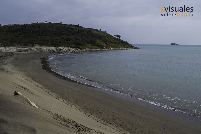
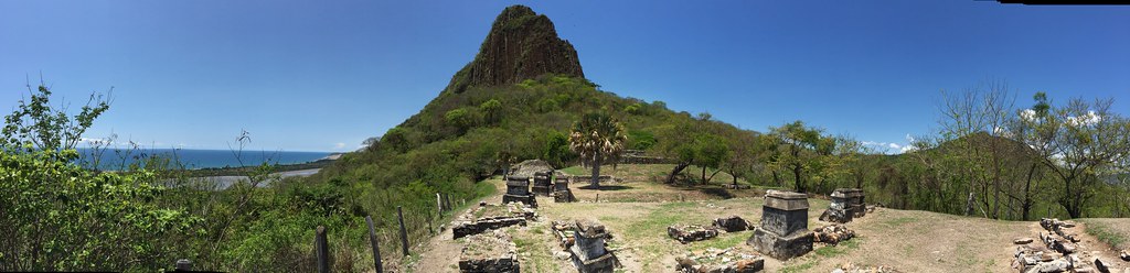
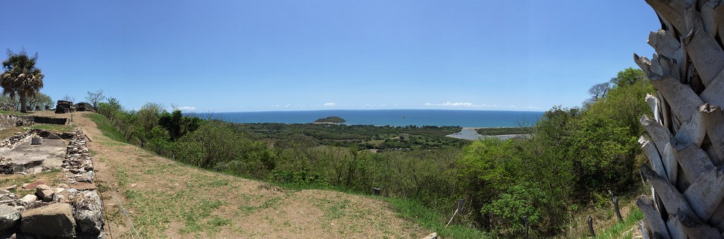
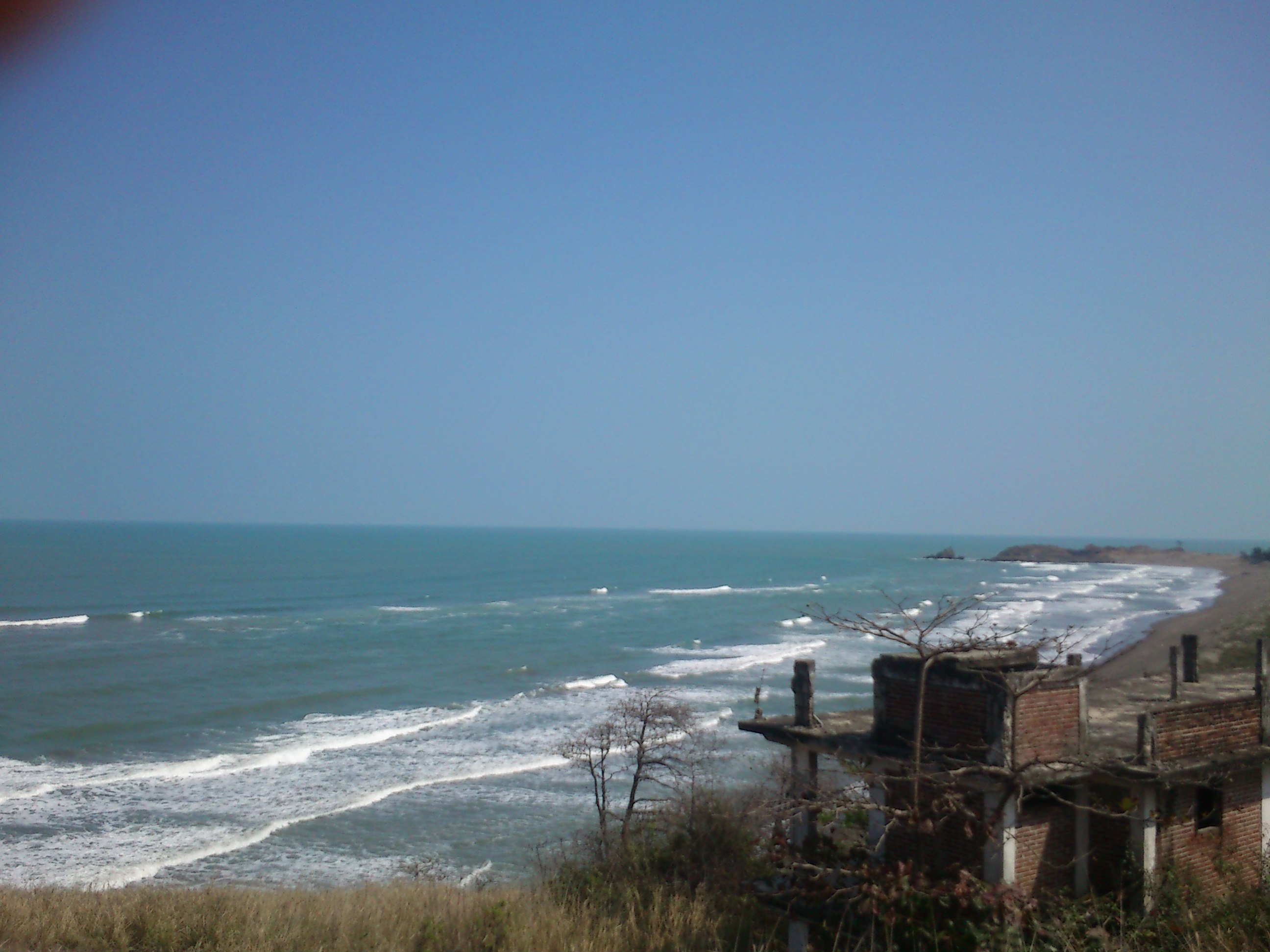
La Villa Rica de la Veracruz
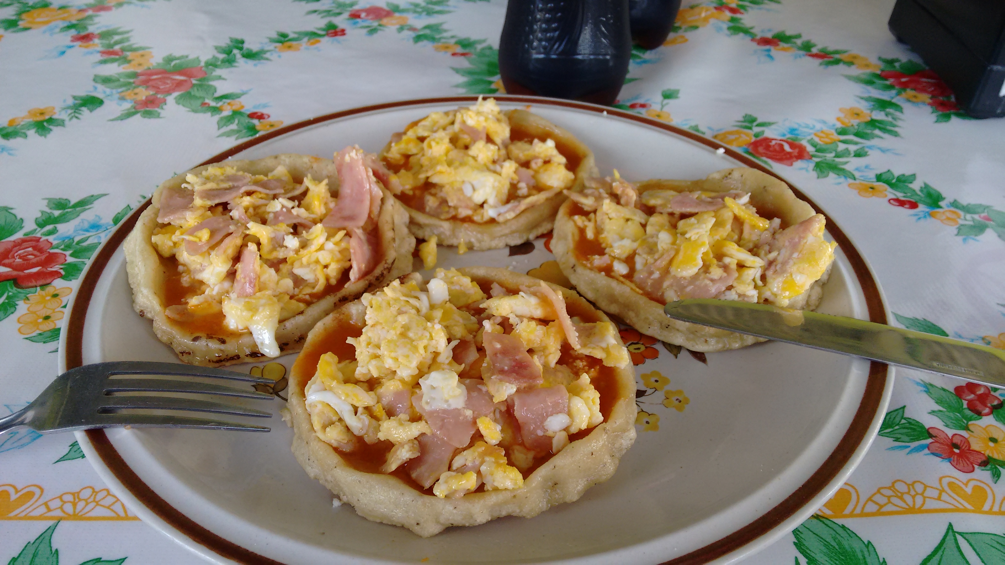
Las picadas no pueden faltar!
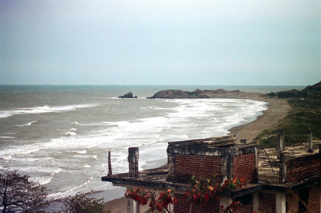
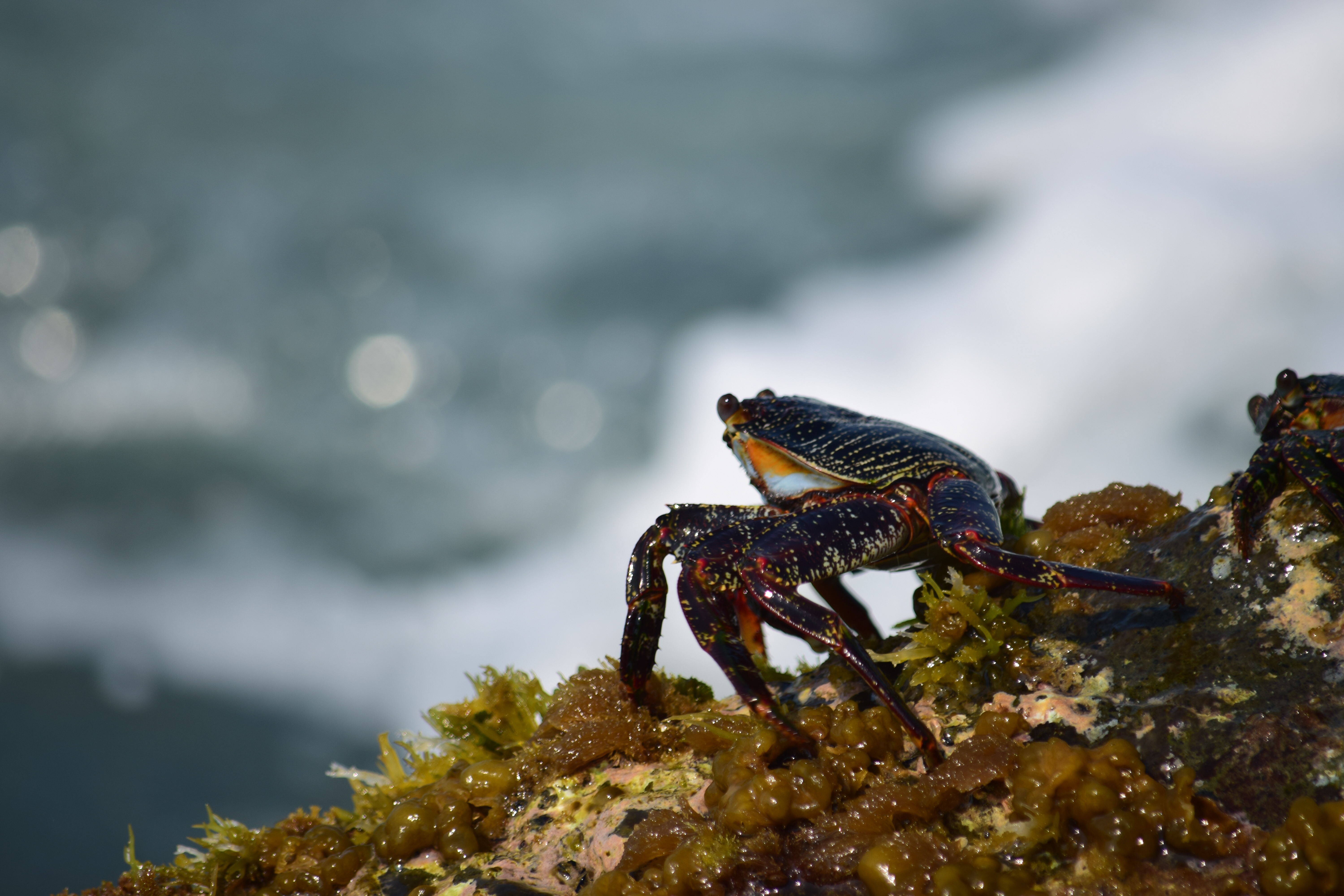
Playa Muñecos, Veracruz
camino al cielo
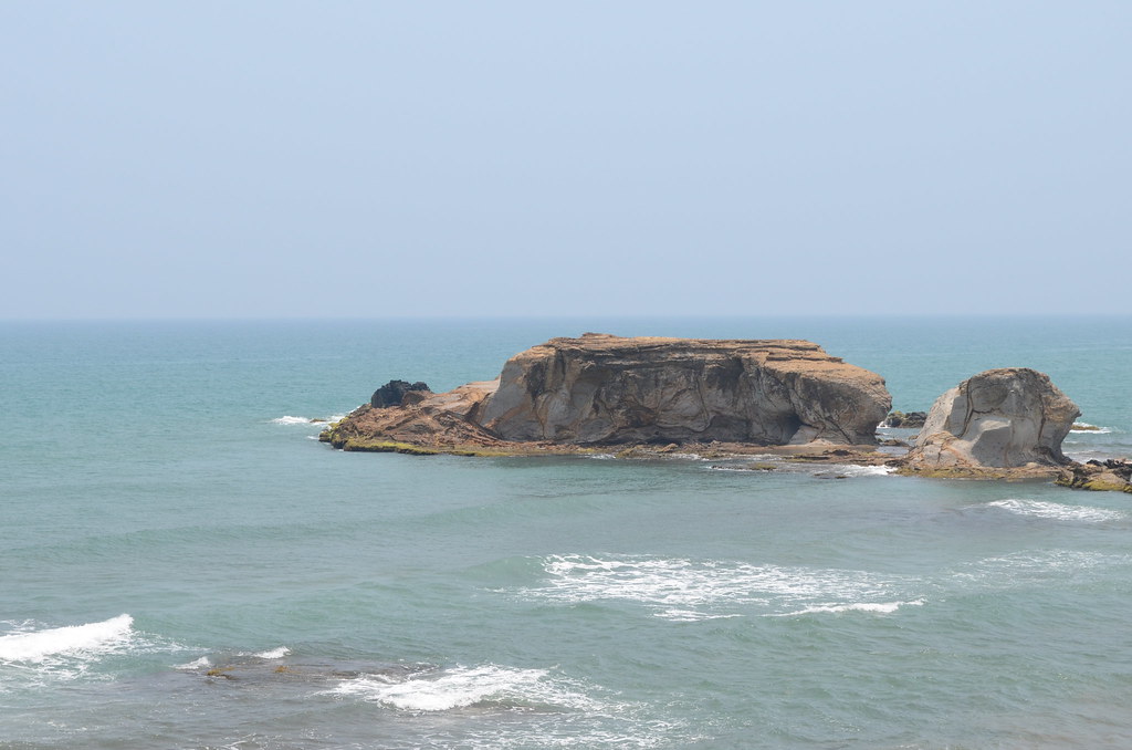
Quiahuiztlán
Quiahuiztlán
allá desde acá por donde fue y después será...
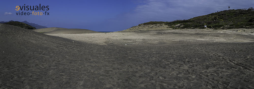
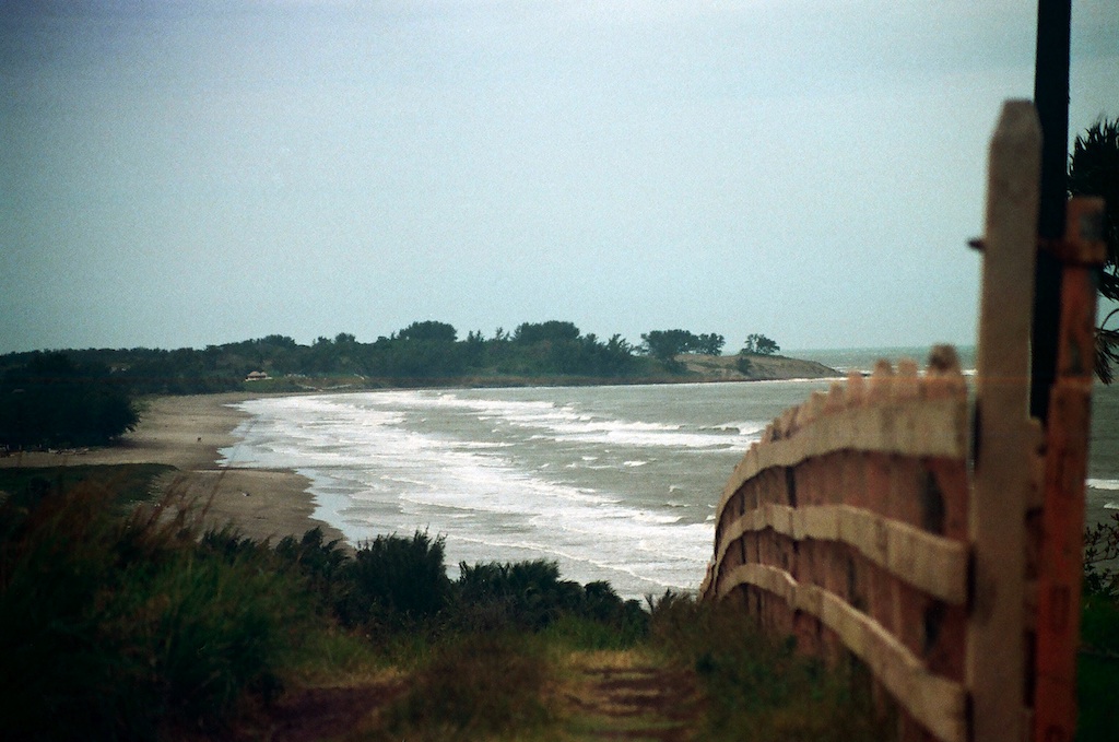
Las dunas de la Villa Rica de la Veracruz
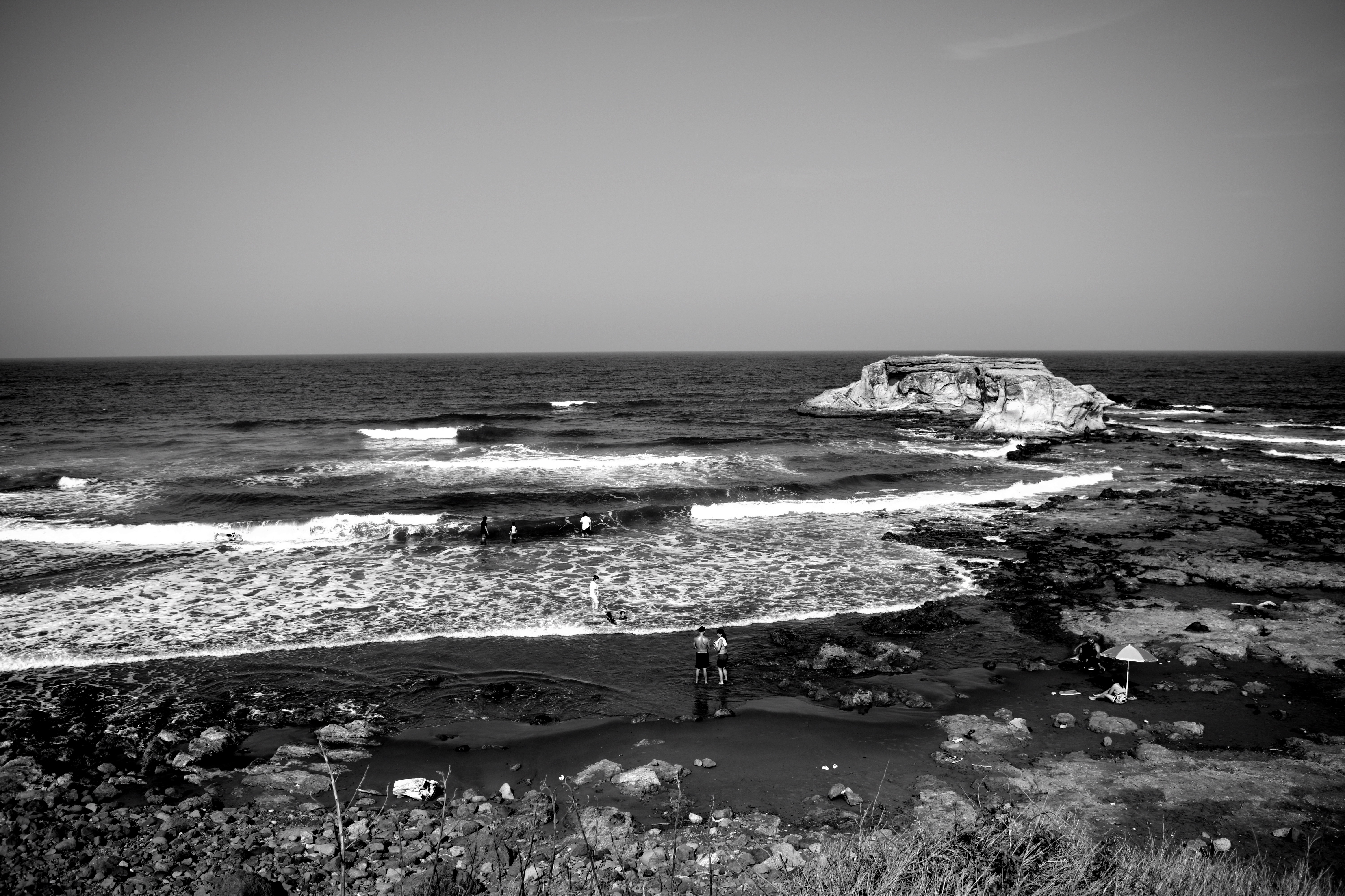
La roca
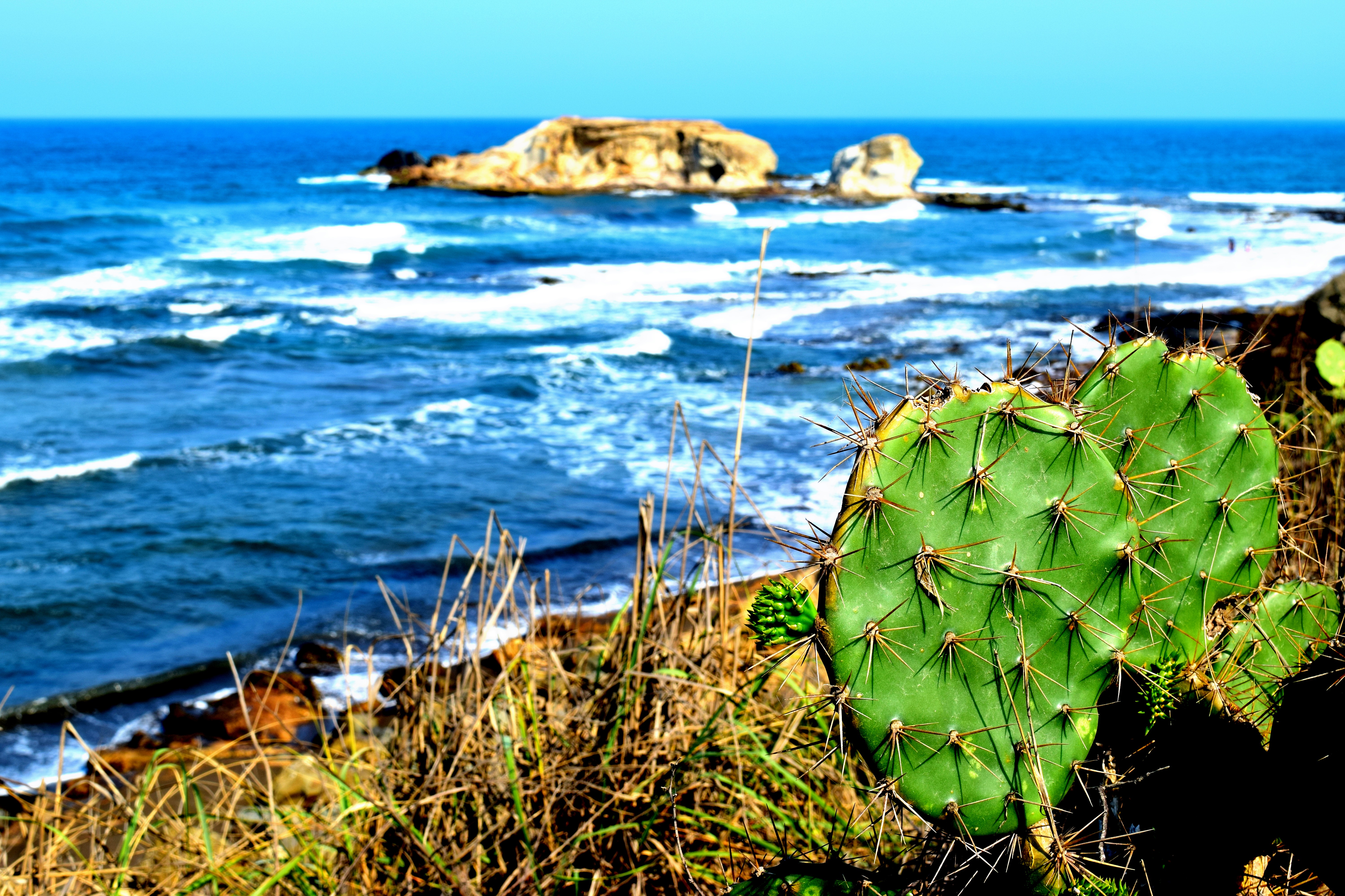
Nopales con vista al mar
Tomando el sol
el mirador
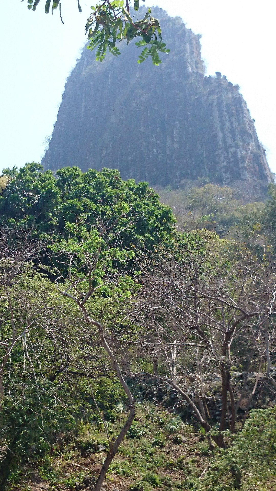
DSC_0227 Quiahuiztlan, heiliger Berg der Totonaken

En Villa Rica, dos pescadores con sus redes.
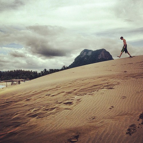
Griffin esta caminando en las dunas.
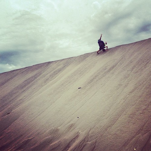
Griffin da vueltas en las dunas.
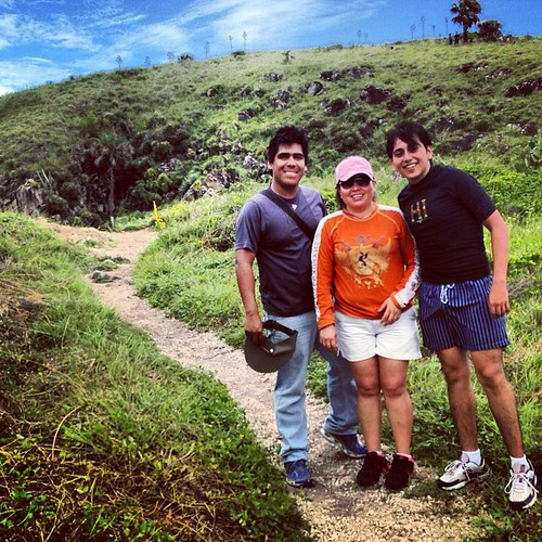
Los maestros que nos acompanaron a Villa Rica: Jorge, Paula, y Daniel.
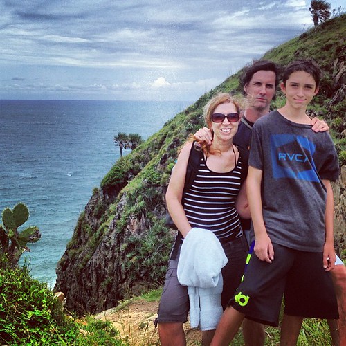
Mi familia arriba de las quebradas en Villa Rica.

Walking down the steep steps between the cliffs in Villa Rica.
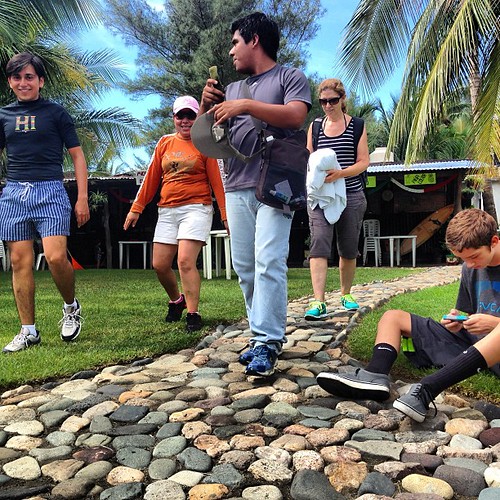
Heading to the beach after ordering our comidas at the seaside restaurante in Villa Rica.
Villa Rica
メキシコ ベラクルス州 パルマ・ソラの地図
別の場所を検索
近所の場所
Poza Rica - Veracruz 12, Palma Sola, Ver., メキシコ
メキシコ ベラクルス州 ミサントラ
メキシコ ベラクルス州 ミサントラ
メキシコ ベラクルス州 イスタパン
Av Jorge Serdán 2, Tenochtitlan, Tenochtitlán, Ver., メキシコ
メキシコ ベラクルス州 テノチティトラン
メキシコ ベラクルス州 テノチティトラン テノチティトラン
Av Huasteca 65, Veracruz, メキシコ
メキシコ ベラクルス州 サン・ラファエル
Cecilio González, El Pital, Ver., メキシコ
メキシコ ベラクルス州 エル・ピタル
メキシコ ベラクルス州 ラ・ポサ
メキシコ ベラクルス州 ビジャヌエバ
Manuel Avila Camacho 16, Villanueva, Ver., メキシコ
Veracruz - Poza Rica, Veracruz, メキシコ
メキシコ ベラクルス州 ウエイテペク
Sábana, Hueytepec, Ver., メキシコ
メキシコ ベラクルス州 テコルトラ
メキシコ ベラクルス州 テコルトラ
最近の検索
- アメリカ合衆国 アラスカ州 レッド・ドッグ・マイン日の出日の入り時間
- Am bhf, Borken, ドイツアム・バーンホーフ日の出日の入り時間
- 4th St E, Sonoma, CA, USA日の出日の入り時間
- Oakland Ave, Williamsport, PA アメリカ合衆国日の出日の入り時間
- Via Roma, Pieranica CR, イタリアローマ通り日の出日の入り時間
- クロアチア 〒 ドゥブロブニク GradClock Tower of Dubrovnik日の出日の入り時間
- アルゼンチン チュブ州 トレリュー日の出日の入り時間
- Hartfords Bluff Cir, Mt Pleasant, SC アメリカ合衆国日の出日の入り時間
- 日本、熊本県熊本市北区日の出日の入り時間
- 中華人民共和国 福州市 平潭県 平潭島日の出日の入り時間