アメリカ合衆国 〒 アリゾナ州 ペインテッド砂漠日の出日の入り時間
Location: アメリカ合衆国 > アリゾナ州 > ナヴァホ > AZ アメリカ合衆国 >
時間帯:
America/Denver
現地時間:
2025-07-10 02:40:27
経度:
-110.0840117
緯度:
35.5002883
今日の日の出時刻:
06:13:49 AM
今日の日の入時刻:
08:37:53 PM
今日の日長:
14h 24m 4s
明日の日の出時刻:
06:14:25 AM
明日の日の入時刻:
08:37:32 PM
明日の日長:
14h 23m 7s
すべて表示する
| 日付 | 日出 | 日没 | 日長 |
|---|---|---|---|
| 2025年01月01日 | 07:29:45 AM | 05:19:18 PM | 9h 49m 33s |
| 2025年01月02日 | 07:29:52 AM | 05:20:06 PM | 9h 50m 14s |
| 2025年01月03日 | 07:29:57 AM | 05:20:56 PM | 9h 50m 59s |
| 2025年01月04日 | 07:30:00 AM | 05:21:46 PM | 9h 51m 46s |
| 2025年01月05日 | 07:30:01 AM | 05:22:37 PM | 9h 52m 36s |
| 2025年01月06日 | 07:30:01 AM | 05:23:29 PM | 9h 53m 28s |
| 2025年01月07日 | 07:29:58 AM | 05:24:23 PM | 9h 54m 25s |
| 2025年01月08日 | 07:29:54 AM | 05:25:17 PM | 9h 55m 23s |
| 2025年01月09日 | 07:29:47 AM | 05:26:12 PM | 9h 56m 25s |
| 2025年01月10日 | 07:29:39 AM | 05:27:07 PM | 9h 57m 28s |
| 2025年01月11日 | 07:29:28 AM | 05:28:04 PM | 9h 58m 36s |
| 2025年01月12日 | 07:29:16 AM | 05:29:01 PM | 9h 59m 45s |
| 2025年01月13日 | 07:29:02 AM | 05:29:59 PM | 10h 0m 57s |
| 2025年01月14日 | 07:28:46 AM | 05:30:57 PM | 10h 2m 11s |
| 2025年01月15日 | 07:28:28 AM | 05:31:56 PM | 10h 3m 28s |
| 2025年01月16日 | 07:28:08 AM | 05:32:55 PM | 10h 4m 47s |
| 2025年01月17日 | 07:27:46 AM | 05:33:55 PM | 10h 6m 9s |
| 2025年01月18日 | 07:27:22 AM | 05:34:55 PM | 10h 7m 33s |
| 2025年01月19日 | 07:26:57 AM | 05:35:56 PM | 10h 8m 59s |
| 2025年01月20日 | 07:26:29 AM | 05:36:57 PM | 10h 10m 28s |
| 2025年01月21日 | 07:26:00 AM | 05:37:58 PM | 10h 11m 58s |
| 2025年01月22日 | 07:25:29 AM | 05:39:00 PM | 10h 13m 31s |
| 2025年01月23日 | 07:24:57 AM | 05:40:01 PM | 10h 15m 4s |
| 2025年01月24日 | 07:24:22 AM | 05:41:03 PM | 10h 16m 41s |
| 2025年01月25日 | 07:23:46 AM | 05:42:05 PM | 10h 18m 19s |
| 2025年01月26日 | 07:23:08 AM | 05:43:07 PM | 10h 19m 59s |
| 2025年01月27日 | 07:22:28 AM | 05:44:09 PM | 10h 21m 41s |
| 2025年01月28日 | 07:21:47 AM | 05:45:11 PM | 10h 23m 24s |
| 2025年01月29日 | 07:21:04 AM | 05:46:14 PM | 10h 25m 10s |
| 2025年01月30日 | 07:20:20 AM | 05:47:16 PM | 10h 26m 56s |
| 2025年01月31日 | 07:19:34 AM | 05:48:18 PM | 10h 28m 44s |
| 2025年02月01日 | 07:18:46 AM | 05:49:20 PM | 10h 30m 34s |
| 2025年02月02日 | 07:17:57 AM | 05:50:22 PM | 10h 32m 25s |
| 2025年02月03日 | 07:17:06 AM | 05:51:23 PM | 10h 34m 17s |
| 2025年02月04日 | 07:16:14 AM | 05:52:25 PM | 10h 36m 11s |
| 2025年02月05日 | 07:15:20 AM | 05:53:27 PM | 10h 38m 7s |
| 2025年02月06日 | 07:14:25 AM | 05:54:28 PM | 10h 40m 3s |
| 2025年02月07日 | 07:13:29 AM | 05:55:29 PM | 10h 42m 0s |
| 2025年02月08日 | 07:12:32 AM | 05:56:30 PM | 10h 43m 58s |
| 2025年02月09日 | 07:11:33 AM | 05:57:30 PM | 10h 45m 57s |
| 2025年02月10日 | 07:10:32 AM | 05:58:30 PM | 10h 47m 58s |
| 2025年02月11日 | 07:09:31 AM | 05:59:31 PM | 10h 50m 0s |
| 2025年02月12日 | 07:08:28 AM | 06:00:30 PM | 10h 52m 2s |
| 2025年02月13日 | 07:07:24 AM | 06:01:30 PM | 10h 54m 6s |
| 2025年02月14日 | 07:06:19 AM | 06:02:29 PM | 10h 56m 10s |
| 2025年02月15日 | 07:05:13 AM | 06:03:28 PM | 10h 58m 15s |
| 2025年02月16日 | 07:04:06 AM | 06:04:26 PM | 11h 0m 20s |
| 2025年02月17日 | 07:02:57 AM | 06:05:24 PM | 11h 2m 27s |
| 2025年02月18日 | 07:01:48 AM | 06:06:22 PM | 11h 4m 34s |
| 2025年02月19日 | 07:00:38 AM | 06:07:20 PM | 11h 6m 42s |
| 2025年02月20日 | 06:59:27 AM | 06:08:17 PM | 11h 8m 50s |
| 2025年02月21日 | 06:58:14 AM | 06:09:14 PM | 11h 11m 0s |
| 2025年02月22日 | 06:57:01 AM | 06:10:10 PM | 11h 13m 9s |
| 2025年02月23日 | 06:55:47 AM | 06:11:07 PM | 11h 15m 20s |
| 2025年02月24日 | 06:54:32 AM | 06:12:02 PM | 11h 17m 30s |
| 2025年02月25日 | 06:53:17 AM | 06:12:58 PM | 11h 19m 41s |
| 2025年02月26日 | 06:52:01 AM | 06:13:53 PM | 11h 21m 52s |
| 2025年02月27日 | 06:50:43 AM | 06:14:48 PM | 11h 24m 5s |
| 2025年02月28日 | 06:49:26 AM | 06:15:43 PM | 11h 26m 17s |
| 2025年03月01日 | 06:48:07 AM | 06:16:37 PM | 11h 28m 30s |
| 2025年03月02日 | 06:46:48 AM | 06:17:31 PM | 11h 30m 43s |
| 2025年03月03日 | 06:45:28 AM | 06:18:24 PM | 11h 32m 56s |
| 2025年03月04日 | 06:44:08 AM | 06:19:18 PM | 11h 35m 10s |
| 2025年03月05日 | 06:42:47 AM | 06:20:11 PM | 11h 37m 24s |
| 2025年03月06日 | 06:41:26 AM | 06:21:04 PM | 11h 39m 38s |
| 2025年03月07日 | 06:40:04 AM | 06:21:56 PM | 11h 41m 52s |
| 2025年03月08日 | 06:38:41 AM | 06:22:48 PM | 11h 44m 7s |
| 2025年03月09日 | 07:37:22 AM | 07:23:38 PM | 11h 46m 16s |
| 2025年03月10日 | 07:35:59 AM | 07:24:30 PM | 11h 48m 31s |
| 2025年03月11日 | 07:34:36 AM | 07:25:21 PM | 11h 50m 45s |
| 2025年03月12日 | 07:33:12 AM | 07:26:12 PM | 11h 53m 0s |
| 2025年03月13日 | 07:31:48 AM | 07:27:03 PM | 11h 55m 15s |
| 2025年03月14日 | 07:30:23 AM | 07:27:54 PM | 11h 57m 31s |
| 2025年03月15日 | 07:28:58 AM | 07:28:45 PM | 11h 59m 47s |
| 2025年03月16日 | 07:27:34 AM | 07:29:35 PM | 12h 2m 1s |
| 2025年03月17日 | 07:26:08 AM | 07:30:26 PM | 12h 4m 18s |
| 2025年03月18日 | 07:24:43 AM | 07:31:16 PM | 12h 6m 33s |
| 2025年03月19日 | 07:23:18 AM | 07:32:06 PM | 12h 8m 48s |
| 2025年03月20日 | 07:21:52 AM | 07:32:55 PM | 12h 11m 3s |
| 2025年03月21日 | 07:20:27 AM | 07:33:45 PM | 12h 13m 18s |
| 2025年03月22日 | 07:19:01 AM | 07:34:35 PM | 12h 15m 34s |
| 2025年03月23日 | 07:17:36 AM | 07:35:24 PM | 12h 17m 48s |
| 2025年03月24日 | 07:16:10 AM | 07:36:13 PM | 12h 20m 3s |
| 2025年03月25日 | 07:14:45 AM | 07:37:03 PM | 12h 22m 18s |
| 2025年03月26日 | 07:13:19 AM | 07:37:52 PM | 12h 24m 33s |
| 2025年03月27日 | 07:11:54 AM | 07:38:41 PM | 12h 26m 47s |
| 2025年03月28日 | 07:10:29 AM | 07:39:30 PM | 12h 29m 1s |
| 2025年03月29日 | 07:09:04 AM | 07:40:19 PM | 12h 31m 15s |
| 2025年03月30日 | 07:07:39 AM | 07:41:08 PM | 12h 33m 29s |
| 2025年03月31日 | 07:06:14 AM | 07:41:57 PM | 12h 35m 43s |
| 2025年04月01日 | 07:04:50 AM | 07:42:46 PM | 12h 37m 56s |
| 2025年04月02日 | 07:03:26 AM | 07:43:35 PM | 12h 40m 9s |
| 2025年04月03日 | 07:02:02 AM | 07:44:24 PM | 12h 42m 22s |
| 2025年04月04日 | 07:00:39 AM | 07:45:13 PM | 12h 44m 34s |
| 2025年04月05日 | 06:59:16 AM | 07:46:02 PM | 12h 46m 46s |
| 2025年04月06日 | 06:57:53 AM | 07:46:51 PM | 12h 48m 58s |
| 2025年04月07日 | 06:56:31 AM | 07:47:40 PM | 12h 51m 9s |
| 2025年04月08日 | 06:55:09 AM | 07:48:29 PM | 12h 53m 20s |
| 2025年04月09日 | 06:53:48 AM | 07:49:18 PM | 12h 55m 30s |
| 2025年04月10日 | 06:52:28 AM | 07:50:07 PM | 12h 57m 39s |
| 2025年04月11日 | 06:51:07 AM | 07:50:57 PM | 12h 59m 50s |
| 2025年04月12日 | 06:49:48 AM | 07:51:46 PM | 13h 1m 58s |
| 2025年04月13日 | 06:48:29 AM | 07:52:35 PM | 13h 4m 6s |
| 2025年04月14日 | 06:47:10 AM | 07:53:25 PM | 13h 6m 15s |
| 2025年04月15日 | 06:45:53 AM | 07:54:14 PM | 13h 8m 21s |
| 2025年04月16日 | 06:44:36 AM | 07:55:04 PM | 13h 10m 28s |
| 2025年04月17日 | 06:43:19 AM | 07:55:53 PM | 13h 12m 34s |
| 2025年04月18日 | 06:42:04 AM | 07:56:43 PM | 13h 14m 39s |
| 2025年04月19日 | 06:40:49 AM | 07:57:32 PM | 13h 16m 43s |
| 2025年04月20日 | 06:39:35 AM | 07:58:22 PM | 13h 18m 47s |
| 2025年04月21日 | 06:38:22 AM | 07:59:12 PM | 13h 20m 50s |
| 2025年04月22日 | 06:37:10 AM | 08:00:02 PM | 13h 22m 52s |
| 2025年04月23日 | 06:35:58 AM | 08:00:52 PM | 13h 24m 54s |
| 2025年04月24日 | 06:34:48 AM | 08:01:42 PM | 13h 26m 54s |
| 2025年04月25日 | 06:33:39 AM | 08:02:31 PM | 13h 28m 52s |
| 2025年04月26日 | 06:32:30 AM | 08:03:21 PM | 13h 30m 51s |
| 2025年04月27日 | 06:31:23 AM | 08:04:11 PM | 13h 32m 48s |
| 2025年04月28日 | 06:30:16 AM | 08:05:01 PM | 13h 34m 45s |
| 2025年04月29日 | 06:29:11 AM | 08:05:51 PM | 13h 36m 40s |
| 2025年04月30日 | 06:28:06 AM | 08:06:41 PM | 13h 38m 35s |
| 2025年05月01日 | 06:27:03 AM | 08:07:31 PM | 13h 40m 28s |
| 2025年05月02日 | 06:26:01 AM | 08:08:21 PM | 13h 42m 20s |
| 2025年05月03日 | 06:25:00 AM | 08:09:11 PM | 13h 44m 11s |
| 2025年05月04日 | 06:24:01 AM | 08:10:01 PM | 13h 46m 0s |
| 2025年05月05日 | 06:23:02 AM | 08:10:50 PM | 13h 47m 48s |
| 2025年05月06日 | 06:22:05 AM | 08:11:40 PM | 13h 49m 35s |
| 2025年05月07日 | 06:21:09 AM | 08:12:29 PM | 13h 51m 20s |
| 2025年05月08日 | 06:20:14 AM | 08:13:18 PM | 13h 53m 4s |
| 2025年05月09日 | 06:19:21 AM | 08:14:07 PM | 13h 54m 46s |
| 2025年05月10日 | 06:18:29 AM | 08:14:56 PM | 13h 56m 27s |
| 2025年05月11日 | 06:17:38 AM | 08:15:45 PM | 13h 58m 7s |
| 2025年05月12日 | 06:16:49 AM | 08:16:33 PM | 13h 59m 44s |
| 2025年05月13日 | 06:16:01 AM | 08:17:21 PM | 14h 1m 20s |
| 2025年05月14日 | 06:15:15 AM | 08:18:09 PM | 14h 2m 54s |
| 2025年05月15日 | 06:14:30 AM | 08:18:56 PM | 14h 4m 26s |
| 2025年05月16日 | 06:13:47 AM | 08:19:43 PM | 14h 5m 56s |
| 2025年05月17日 | 06:13:05 AM | 08:20:30 PM | 14h 7m 25s |
| 2025年05月18日 | 06:12:24 AM | 08:21:16 PM | 14h 8m 52s |
| 2025年05月19日 | 06:11:46 AM | 08:22:02 PM | 14h 10m 16s |
| 2025年05月20日 | 06:11:08 AM | 08:22:47 PM | 14h 11m 39s |
| 2025年05月21日 | 06:10:33 AM | 08:23:32 PM | 14h 12m 59s |
| 2025年05月22日 | 06:09:58 AM | 08:24:16 PM | 14h 14m 18s |
| 2025年05月23日 | 06:09:26 AM | 08:25:00 PM | 14h 15m 34s |
| 2025年05月24日 | 06:08:55 AM | 08:25:43 PM | 14h 16m 48s |
| 2025年05月25日 | 06:08:26 AM | 08:26:25 PM | 14h 17m 59s |
| 2025年05月26日 | 06:07:58 AM | 08:27:07 PM | 14h 19m 9s |
| 2025年05月27日 | 06:07:32 AM | 08:27:48 PM | 14h 20m 16s |
| 2025年05月28日 | 06:07:08 AM | 08:28:28 PM | 14h 21m 20s |
| 2025年05月29日 | 06:06:45 AM | 08:29:08 PM | 14h 22m 23s |
| 2025年05月30日 | 06:06:24 AM | 08:29:46 PM | 14h 23m 22s |
| 2025年05月31日 | 06:06:04 AM | 08:30:24 PM | 14h 24m 20s |
| 2025年06月01日 | 06:05:47 AM | 08:31:01 PM | 14h 25m 14s |
| 2025年06月02日 | 06:05:31 AM | 08:31:37 PM | 14h 26m 6s |
| 2025年06月03日 | 06:05:16 AM | 08:32:12 PM | 14h 26m 56s |
| 2025年06月04日 | 06:05:04 AM | 08:32:46 PM | 14h 27m 42s |
| 2025年06月05日 | 06:04:53 AM | 08:33:19 PM | 14h 28m 26s |
| 2025年06月06日 | 06:04:43 AM | 08:33:50 PM | 14h 29m 7s |
| 2025年06月07日 | 06:04:36 AM | 08:34:21 PM | 14h 29m 45s |
| 2025年06月08日 | 06:04:30 AM | 08:34:51 PM | 14h 30m 21s |
| 2025年06月09日 | 06:04:26 AM | 08:35:19 PM | 14h 30m 53s |
| 2025年06月10日 | 06:04:23 AM | 08:35:46 PM | 14h 31m 23s |
| 2025年06月11日 | 06:04:22 AM | 08:36:12 PM | 14h 31m 50s |
| 2025年06月12日 | 06:04:22 AM | 08:36:36 PM | 14h 32m 14s |
| 2025年06月13日 | 06:04:25 AM | 08:36:59 PM | 14h 32m 34s |
| 2025年06月14日 | 06:04:28 AM | 08:37:21 PM | 14h 32m 53s |
| 2025年06月15日 | 06:04:34 AM | 08:37:42 PM | 14h 33m 8s |
| 2025年06月16日 | 06:04:41 AM | 08:38:01 PM | 14h 33m 20s |
| 2025年06月17日 | 06:04:49 AM | 08:38:18 PM | 14h 33m 29s |
| 2025年06月18日 | 06:04:59 AM | 08:38:35 PM | 14h 33m 36s |
| 2025年06月19日 | 06:05:11 AM | 08:38:49 PM | 14h 33m 38s |
| 2025年06月20日 | 06:05:24 AM | 08:39:02 PM | 14h 33m 38s |
| 2025年06月21日 | 06:05:38 AM | 08:39:14 PM | 14h 33m 36s |
| 2025年06月22日 | 06:05:54 AM | 08:39:24 PM | 14h 33m 30s |
| 2025年06月23日 | 06:06:11 AM | 08:39:32 PM | 14h 33m 21s |
| 2025年06月24日 | 06:06:30 AM | 08:39:39 PM | 14h 33m 9s |
| 2025年06月25日 | 06:06:50 AM | 08:39:45 PM | 14h 32m 55s |
| 2025年06月26日 | 06:07:11 AM | 08:39:48 PM | 14h 32m 37s |
| 2025年06月27日 | 06:07:34 AM | 08:39:50 PM | 14h 32m 16s |
| 2025年06月28日 | 06:07:58 AM | 08:39:50 PM | 14h 31m 52s |
| 2025年06月29日 | 06:08:23 AM | 08:39:49 PM | 14h 31m 26s |
| 2025年06月30日 | 06:08:49 AM | 08:39:46 PM | 14h 30m 57s |
| 2025年07月01日 | 06:09:17 AM | 08:39:41 PM | 14h 30m 24s |
| 2025年07月02日 | 06:09:45 AM | 08:39:34 PM | 14h 29m 49s |
| 2025年07月03日 | 06:10:15 AM | 08:39:26 PM | 14h 29m 11s |
| 2025年07月04日 | 06:10:46 AM | 08:39:16 PM | 14h 28m 30s |
| 2025年07月05日 | 06:11:17 AM | 08:39:05 PM | 14h 27m 48s |
| 2025年07月06日 | 06:11:50 AM | 08:38:51 PM | 14h 27m 1s |
| 2025年07月07日 | 06:12:24 AM | 08:38:36 PM | 14h 26m 12s |
| 2025年07月08日 | 06:12:58 AM | 08:38:19 PM | 14h 25m 21s |
| 2025年07月09日 | 06:13:34 AM | 08:38:01 PM | 14h 24m 27s |
| 2025年07月10日 | 06:14:10 AM | 08:37:41 PM | 14h 23m 31s |
| 2025年07月11日 | 06:14:47 AM | 08:37:19 PM | 14h 22m 32s |
| 2025年07月12日 | 06:15:25 AM | 08:36:55 PM | 14h 21m 30s |
| 2025年07月13日 | 06:16:03 AM | 08:36:30 PM | 14h 20m 27s |
| 2025年07月14日 | 06:16:42 AM | 08:36:03 PM | 14h 19m 21s |
| 2025年07月15日 | 06:17:22 AM | 08:35:34 PM | 14h 18m 12s |
| 2025年07月16日 | 06:18:03 AM | 08:35:04 PM | 14h 17m 1s |
| 2025年07月17日 | 06:18:44 AM | 08:34:31 PM | 14h 15m 47s |
| 2025年07月18日 | 06:19:25 AM | 08:33:58 PM | 14h 14m 33s |
| 2025年07月19日 | 06:20:07 AM | 08:33:23 PM | 14h 13m 16s |
| 2025年07月20日 | 06:20:50 AM | 08:32:46 PM | 14h 11m 56s |
| 2025年07月21日 | 06:21:33 AM | 08:32:07 PM | 14h 10m 34s |
| 2025年07月22日 | 06:22:17 AM | 08:31:27 PM | 14h 9m 10s |
| 2025年07月23日 | 06:23:00 AM | 08:30:45 PM | 14h 7m 45s |
| 2025年07月24日 | 06:23:45 AM | 08:30:02 PM | 14h 6m 17s |
| 2025年07月25日 | 06:24:29 AM | 08:29:17 PM | 14h 4m 48s |
| 2025年07月26日 | 06:25:14 AM | 08:28:31 PM | 14h 3m 17s |
| 2025年07月27日 | 06:25:59 AM | 08:27:44 PM | 14h 1m 45s |
| 2025年07月28日 | 06:26:44 AM | 08:26:54 PM | 14h 0m 10s |
| 2025年07月29日 | 06:27:30 AM | 08:26:04 PM | 13h 58m 34s |
| 2025年07月30日 | 06:28:16 AM | 08:25:12 PM | 13h 56m 56s |
| 2025年07月31日 | 06:29:02 AM | 08:24:19 PM | 13h 55m 17s |
| 2025年08月01日 | 06:29:48 AM | 08:23:24 PM | 13h 53m 36s |
| 2025年08月02日 | 06:30:34 AM | 08:22:28 PM | 13h 51m 54s |
| 2025年08月03日 | 06:31:20 AM | 08:21:30 PM | 13h 50m 10s |
| 2025年08月04日 | 06:32:07 AM | 08:20:32 PM | 13h 48m 25s |
| 2025年08月05日 | 06:32:53 AM | 08:19:32 PM | 13h 46m 39s |
| 2025年08月06日 | 06:33:40 AM | 08:18:30 PM | 13h 44m 50s |
| 2025年08月07日 | 06:34:27 AM | 08:17:28 PM | 13h 43m 1s |
| 2025年08月08日 | 06:35:13 AM | 08:16:24 PM | 13h 41m 11s |
| 2025年08月09日 | 06:36:00 AM | 08:15:20 PM | 13h 39m 20s |
| 2025年08月10日 | 06:36:46 AM | 08:14:14 PM | 13h 37m 28s |
| 2025年08月11日 | 06:37:33 AM | 08:13:07 PM | 13h 35m 34s |
| 2025年08月12日 | 06:38:19 AM | 08:11:59 PM | 13h 33m 40s |
| 2025年08月13日 | 06:39:06 AM | 08:10:50 PM | 13h 31m 44s |
| 2025年08月14日 | 06:39:52 AM | 08:09:40 PM | 13h 29m 48s |
| 2025年08月15日 | 06:40:39 AM | 08:08:28 PM | 13h 27m 49s |
| 2025年08月16日 | 06:41:25 AM | 08:07:16 PM | 13h 25m 51s |
| 2025年08月17日 | 06:42:11 AM | 08:06:03 PM | 13h 23m 52s |
| 2025年08月18日 | 06:42:57 AM | 08:04:49 PM | 13h 21m 52s |
| 2025年08月19日 | 06:43:44 AM | 08:03:35 PM | 13h 19m 51s |
| 2025年08月20日 | 06:44:30 AM | 08:02:19 PM | 13h 17m 49s |
| 2025年08月21日 | 06:45:15 AM | 08:01:02 PM | 13h 15m 47s |
| 2025年08月22日 | 06:46:01 AM | 07:59:45 PM | 13h 13m 44s |
| 2025年08月23日 | 06:46:47 AM | 07:58:27 PM | 13h 11m 40s |
| 2025年08月24日 | 06:47:33 AM | 07:57:08 PM | 13h 9m 35s |
| 2025年08月25日 | 06:48:18 AM | 07:55:49 PM | 13h 7m 31s |
| 2025年08月26日 | 06:49:04 AM | 07:54:29 PM | 13h 5m 25s |
| 2025年08月27日 | 06:49:49 AM | 07:53:08 PM | 13h 3m 19s |
| 2025年08月28日 | 06:50:34 AM | 07:51:47 PM | 13h 1m 13s |
| 2025年08月29日 | 06:51:19 AM | 07:50:24 PM | 12h 59m 5s |
| 2025年08月30日 | 06:52:05 AM | 07:49:02 PM | 12h 56m 57s |
| 2025年08月31日 | 06:52:50 AM | 07:47:39 PM | 12h 54m 49s |
| 2025年09月01日 | 06:53:35 AM | 07:46:15 PM | 12h 52m 40s |
| 2025年09月02日 | 06:54:19 AM | 07:44:51 PM | 12h 50m 32s |
| 2025年09月03日 | 06:55:04 AM | 07:43:26 PM | 12h 48m 22s |
| 2025年09月04日 | 06:55:49 AM | 07:42:01 PM | 12h 46m 12s |
| 2025年09月05日 | 06:56:34 AM | 07:40:36 PM | 12h 44m 2s |
| 2025年09月06日 | 06:57:19 AM | 07:39:10 PM | 12h 41m 51s |
| 2025年09月07日 | 06:58:03 AM | 07:37:44 PM | 12h 39m 41s |
| 2025年09月08日 | 06:58:48 AM | 07:36:18 PM | 12h 37m 30s |
| 2025年09月09日 | 06:59:33 AM | 07:34:51 PM | 12h 35m 18s |
| 2025年09月10日 | 07:00:17 AM | 07:33:24 PM | 12h 33m 7s |
| 2025年09月11日 | 07:01:02 AM | 07:31:57 PM | 12h 30m 55s |
| 2025年09月12日 | 07:01:47 AM | 07:30:30 PM | 12h 28m 43s |
| 2025年09月13日 | 07:02:31 AM | 07:29:02 PM | 12h 26m 31s |
| 2025年09月14日 | 07:03:16 AM | 07:27:35 PM | 12h 24m 19s |
| 2025年09月15日 | 07:04:01 AM | 07:26:07 PM | 12h 22m 6s |
| 2025年09月16日 | 07:04:46 AM | 07:24:39 PM | 12h 19m 53s |
| 2025年09月17日 | 07:05:31 AM | 07:23:11 PM | 12h 17m 40s |
| 2025年09月18日 | 07:06:16 AM | 07:21:43 PM | 12h 15m 27s |
| 2025年09月19日 | 07:07:01 AM | 07:20:16 PM | 12h 13m 15s |
| 2025年09月20日 | 07:07:47 AM | 07:18:48 PM | 12h 11m 1s |
| 2025年09月21日 | 07:08:32 AM | 07:17:20 PM | 12h 8m 48s |
| 2025年09月22日 | 07:09:17 AM | 07:15:52 PM | 12h 6m 35s |
| 2025年09月23日 | 07:10:03 AM | 07:14:25 PM | 12h 4m 22s |
| 2025年09月24日 | 07:10:49 AM | 07:12:57 PM | 12h 2m 8s |
| 2025年09月25日 | 07:11:35 AM | 07:11:30 PM | 11h 59m 55s |
| 2025年09月26日 | 07:12:21 AM | 07:10:03 PM | 11h 57m 42s |
| 2025年09月27日 | 07:13:08 AM | 07:08:36 PM | 11h 55m 28s |
| 2025年09月28日 | 07:13:54 AM | 07:07:10 PM | 11h 53m 16s |
| 2025年09月29日 | 07:14:41 AM | 07:05:44 PM | 11h 51m 3s |
| 2025年09月30日 | 07:15:28 AM | 07:04:18 PM | 11h 48m 50s |
| 2025年10月01日 | 07:16:16 AM | 07:02:52 PM | 11h 46m 36s |
| 2025年10月02日 | 07:17:03 AM | 07:01:27 PM | 11h 44m 24s |
| 2025年10月03日 | 07:17:51 AM | 07:00:02 PM | 11h 42m 11s |
| 2025年10月04日 | 07:18:39 AM | 06:58:38 PM | 11h 39m 59s |
| 2025年10月05日 | 07:19:27 AM | 06:57:14 PM | 11h 37m 47s |
| 2025年10月06日 | 07:20:16 AM | 06:55:51 PM | 11h 35m 35s |
| 2025年10月07日 | 07:21:05 AM | 06:54:28 PM | 11h 33m 23s |
| 2025年10月08日 | 07:21:54 AM | 06:53:06 PM | 11h 31m 12s |
| 2025年10月09日 | 07:22:44 AM | 06:51:45 PM | 11h 29m 1s |
| 2025年10月10日 | 07:23:34 AM | 06:50:24 PM | 11h 26m 50s |
| 2025年10月11日 | 07:24:24 AM | 06:49:03 PM | 11h 24m 39s |
| 2025年10月12日 | 07:25:15 AM | 06:47:44 PM | 11h 22m 29s |
| 2025年10月13日 | 07:26:06 AM | 06:46:25 PM | 11h 20m 19s |
| 2025年10月14日 | 07:26:57 AM | 06:45:07 PM | 11h 18m 10s |
| 2025年10月15日 | 07:27:49 AM | 06:43:50 PM | 11h 16m 1s |
| 2025年10月16日 | 07:28:41 AM | 06:42:33 PM | 11h 13m 52s |
| 2025年10月17日 | 07:29:33 AM | 06:41:17 PM | 11h 11m 44s |
| 2025年10月18日 | 07:30:26 AM | 06:40:03 PM | 11h 9m 37s |
| 2025年10月19日 | 07:31:19 AM | 06:38:49 PM | 11h 7m 30s |
| 2025年10月20日 | 07:32:12 AM | 06:37:36 PM | 11h 5m 24s |
| 2025年10月21日 | 07:33:06 AM | 06:36:24 PM | 11h 3m 18s |
| 2025年10月22日 | 07:34:00 AM | 06:35:13 PM | 11h 1m 13s |
| 2025年10月23日 | 07:34:55 AM | 06:34:03 PM | 10h 59m 8s |
| 2025年10月24日 | 07:35:50 AM | 06:32:54 PM | 10h 57m 4s |
| 2025年10月25日 | 07:36:45 AM | 06:31:46 PM | 10h 55m 1s |
| 2025年10月26日 | 07:37:40 AM | 06:30:40 PM | 10h 53m 0s |
| 2025年10月27日 | 07:38:36 AM | 06:29:34 PM | 10h 50m 58s |
| 2025年10月28日 | 07:39:33 AM | 06:28:30 PM | 10h 48m 57s |
| 2025年10月29日 | 07:40:29 AM | 06:27:27 PM | 10h 46m 58s |
| 2025年10月30日 | 07:41:26 AM | 06:26:25 PM | 10h 44m 59s |
| 2025年10月31日 | 07:42:23 AM | 06:25:25 PM | 10h 43m 2s |
| 2025年11月01日 | 07:43:21 AM | 06:24:26 PM | 10h 41m 5s |
| 2025年11月02日 | 06:44:21 AM | 05:23:26 PM | 10h 39m 5s |
| 2025年11月03日 | 06:45:19 AM | 05:22:29 PM | 10h 37m 10s |
| 2025年11月04日 | 06:46:17 AM | 05:21:34 PM | 10h 35m 17s |
| 2025年11月05日 | 06:47:15 AM | 05:20:41 PM | 10h 33m 26s |
| 2025年11月06日 | 06:48:14 AM | 05:19:49 PM | 10h 31m 35s |
| 2025年11月07日 | 06:49:13 AM | 05:18:59 PM | 10h 29m 46s |
| 2025年11月08日 | 06:50:12 AM | 05:18:10 PM | 10h 27m 58s |
| 2025年11月09日 | 06:51:11 AM | 05:17:22 PM | 10h 26m 11s |
| 2025年11月10日 | 06:52:10 AM | 05:16:36 PM | 10h 24m 26s |
| 2025年11月11日 | 06:53:09 AM | 05:15:52 PM | 10h 22m 43s |
| 2025年11月12日 | 06:54:08 AM | 05:15:10 PM | 10h 21m 2s |
| 2025年11月13日 | 06:55:08 AM | 05:14:29 PM | 10h 19m 21s |
| 2025年11月14日 | 06:56:07 AM | 05:13:50 PM | 10h 17m 43s |
| 2025年11月15日 | 06:57:06 AM | 05:13:12 PM | 10h 16m 6s |
| 2025年11月16日 | 06:58:06 AM | 05:12:37 PM | 10h 14m 31s |
| 2025年11月17日 | 06:59:05 AM | 05:12:03 PM | 10h 12m 58s |
| 2025年11月18日 | 07:00:04 AM | 05:11:31 PM | 10h 11m 27s |
| 2025年11月19日 | 07:01:02 AM | 05:11:01 PM | 10h 9m 59s |
| 2025年11月20日 | 07:02:01 AM | 05:10:32 PM | 10h 8m 31s |
| 2025年11月21日 | 07:02:59 AM | 05:10:06 PM | 10h 7m 7s |
| 2025年11月22日 | 07:03:57 AM | 05:09:41 PM | 10h 5m 44s |
| 2025年11月23日 | 07:04:55 AM | 05:09:18 PM | 10h 4m 23s |
| 2025年11月24日 | 07:05:52 AM | 05:08:57 PM | 10h 3m 5s |
| 2025年11月25日 | 07:06:49 AM | 05:08:38 PM | 10h 1m 49s |
| 2025年11月26日 | 07:07:45 AM | 05:08:21 PM | 10h 0m 36s |
| 2025年11月27日 | 07:08:41 AM | 05:08:06 PM | 9h 59m 25s |
| 2025年11月28日 | 07:09:36 AM | 05:07:53 PM | 9h 58m 17s |
| 2025年11月29日 | 07:10:30 AM | 05:07:42 PM | 9h 57m 12s |
| 2025年11月30日 | 07:11:24 AM | 05:07:33 PM | 9h 56m 9s |
| 2025年12月01日 | 07:12:17 AM | 05:07:26 PM | 9h 55m 9s |
| 2025年12月02日 | 07:13:10 AM | 05:07:20 PM | 9h 54m 10s |
| 2025年12月03日 | 07:14:02 AM | 05:07:17 PM | 9h 53m 15s |
| 2025年12月04日 | 07:14:52 AM | 05:07:16 PM | 9h 52m 24s |
| 2025年12月05日 | 07:15:42 AM | 05:07:17 PM | 9h 51m 35s |
| 2025年12月06日 | 07:16:31 AM | 05:07:20 PM | 9h 50m 49s |
| 2025年12月07日 | 07:17:19 AM | 05:07:24 PM | 9h 50m 5s |
| 2025年12月08日 | 07:18:06 AM | 05:07:31 PM | 9h 49m 25s |
| 2025年12月09日 | 07:18:52 AM | 05:07:40 PM | 9h 48m 48s |
| 2025年12月10日 | 07:19:36 AM | 05:07:50 PM | 9h 48m 14s |
| 2025年12月11日 | 07:20:20 AM | 05:08:03 PM | 9h 47m 43s |
| 2025年12月12日 | 07:21:02 AM | 05:08:17 PM | 9h 47m 15s |
| 2025年12月13日 | 07:21:43 AM | 05:08:33 PM | 9h 46m 50s |
| 2025年12月14日 | 07:22:22 AM | 05:08:52 PM | 9h 46m 30s |
| 2025年12月15日 | 07:23:00 AM | 05:09:12 PM | 9h 46m 12s |
| 2025年12月16日 | 07:23:37 AM | 05:09:34 PM | 9h 45m 57s |
| 2025年12月17日 | 07:24:12 AM | 05:09:57 PM | 9h 45m 45s |
| 2025年12月18日 | 07:24:46 AM | 05:10:23 PM | 9h 45m 37s |
| 2025年12月19日 | 07:25:18 AM | 05:10:50 PM | 9h 45m 32s |
| 2025年12月20日 | 07:25:49 AM | 05:11:19 PM | 9h 45m 30s |
| 2025年12月21日 | 07:26:18 AM | 05:11:49 PM | 9h 45m 31s |
| 2025年12月22日 | 07:26:45 AM | 05:12:22 PM | 9h 45m 37s |
| 2025年12月23日 | 07:27:11 AM | 05:12:56 PM | 9h 45m 45s |
| 2025年12月24日 | 07:27:35 AM | 05:13:31 PM | 9h 45m 56s |
| 2025年12月25日 | 07:27:57 AM | 05:14:08 PM | 9h 46m 11s |
| 2025年12月26日 | 07:28:18 AM | 05:14:47 PM | 9h 46m 29s |
| 2025年12月27日 | 07:28:37 AM | 05:15:27 PM | 9h 46m 50s |
| 2025年12月28日 | 07:28:53 AM | 05:16:08 PM | 9h 47m 15s |
| 2025年12月29日 | 07:29:09 AM | 05:16:51 PM | 9h 47m 42s |
| 2025年12月30日 | 07:29:22 AM | 05:17:35 PM | 9h 48m 13s |
| 2025年12月31日 | 07:29:33 AM | 05:18:20 PM | 9h 48m 47s |
写真

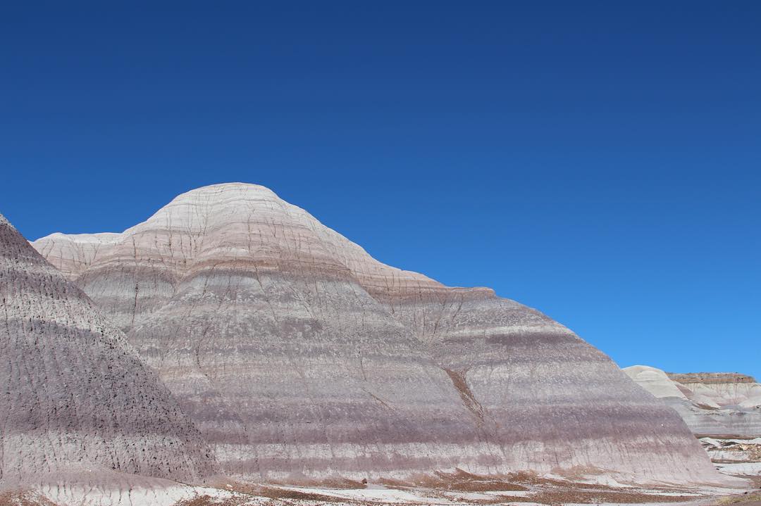
Petrified Forest National Park, Arizona
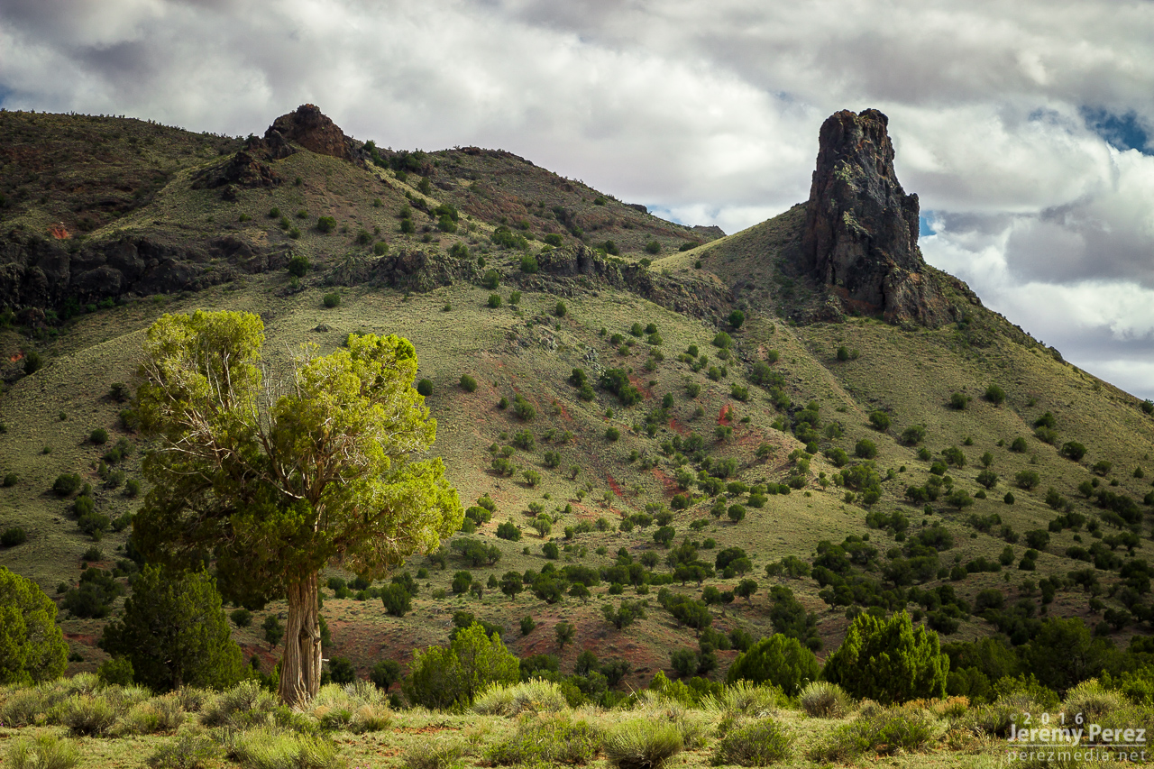
Butte at Indian Wells
Painted Desert #adventureisoutthere #exploreeverything #hiking #hikingadventures #adventure #adventureawaits #todsl #hiking #desert #arizona #arizonahiking #explorearizona #arizonaroadtrip #nofilterneeded #painteddesert #blue

Mesaby Dog Spring, Indian Wells, AZ

Smoke in the Hollow
Morning moonrise

Twin Cones

Ape Mountain

Indian Wells, AZ

Indian Wells, AZ
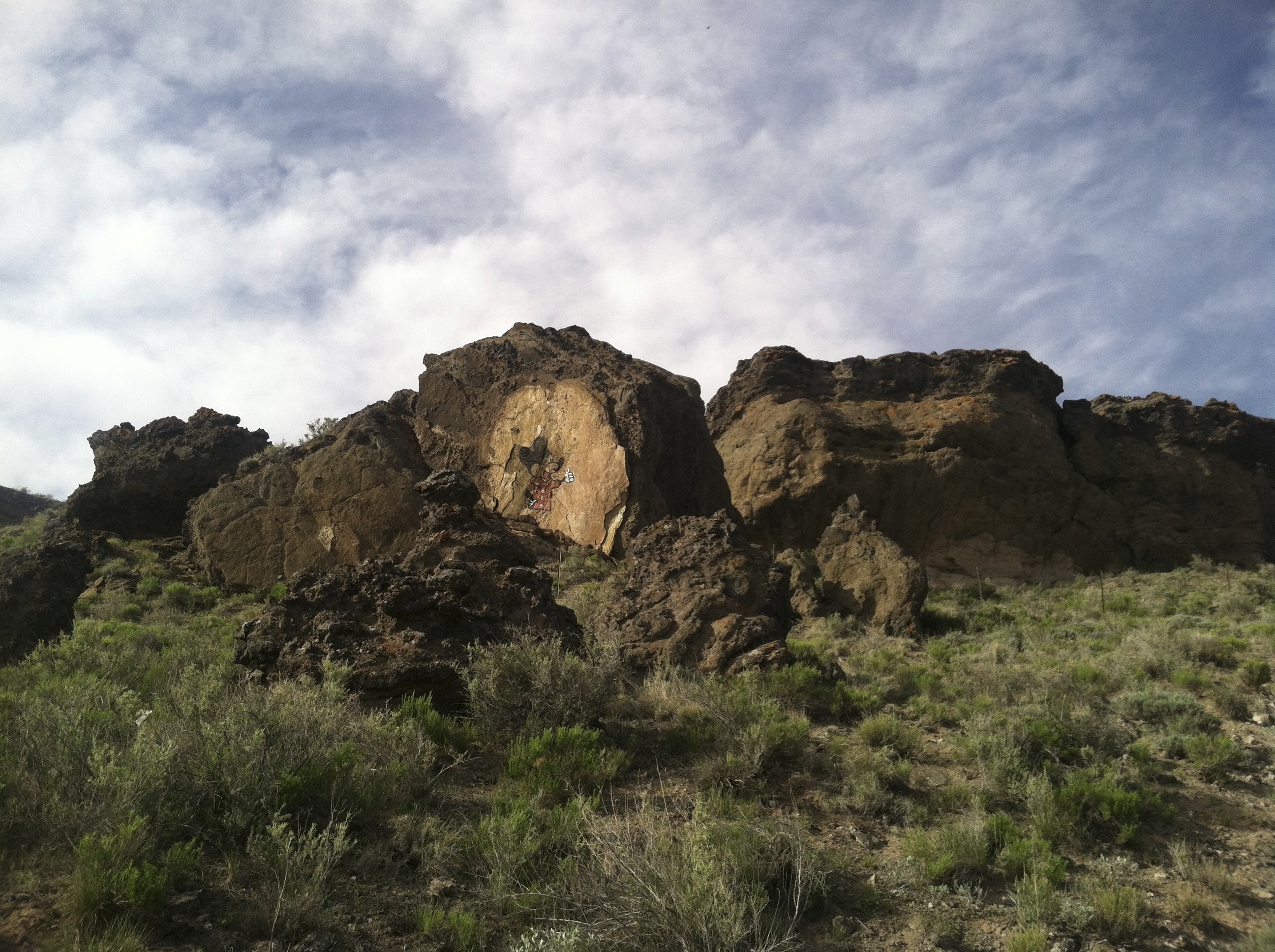
Mickey Mouse Canyon

Dilkon community

20110626104.jpg

First and Second Flat Mesa Quadrangle Map

Driving back to Phoenix

US Airways Coach Meal

Indian Wells, AZ

Indian Wells, AZ

Indian Wells, AZ

Indian Wells, AZ

Indian Wells, AZ
アメリカ合衆国 〒 アリゾナ州 ペインテッド砂漠の地図
別の場所を検索
近所の場所
Na Ah Tee, AZ アメリカ合衆国
アメリカ合衆国 〒 アリゾナ州 インディアン・ウェルス
アメリカ合衆国 アリゾナ州 ナヴァホ
Cornfield's Rd, Ganado, AZ アメリカ合衆国Cornfield's Road
アメリカ合衆国 〒 アリゾナ州 ファースト・メサ ポラッカ
Polacca, AZ アメリカ合衆国Polacca Post Office
Highway Mile Post, Polacca, AZ アメリカ合衆国Hopi Health Care Center
アメリカ合衆国 〒 アリゾナ州 セカンド・メサ ミショングノービ
PO Box, Second Mesa, AZ アメリカ合衆国Mishongnovi Community Center
アメリカ合衆国 〒 アリゾナ州 セカンド・メサSunlight Community Church
アメリカ合衆国 〒 アリゾナ州 セカンド・メサ
AZ-, Second Mesa, AZ アメリカ合衆国United States Postal Service
Main St, Kykotsmovi, AZ アメリカ合衆国
アメリカ合衆国 〒 アリゾナ州 カイコツムービー・ビレッジ カイコツムービー
アメリカ合衆国 アリゾナ州 カイコツムービー・ビレッジ
アメリカ合衆国 アリゾナ州 レアップ
アメリカ合衆国 〒 アリゾナ州 コール・マイン・キャニオン
Tonalea, AZ アメリカ合衆国エレファンツ・フィート・レスト・エリア
アメリカ合衆国 〒 アリゾナ州 トナリー
最近の検索
- アメリカ合衆国 アラスカ州 レッド・ドッグ・マイン日の出日の入り時間
- Am bhf, Borken, ドイツアム・バーンホーフ日の出日の入り時間
- 4th St E, Sonoma, CA, USA日の出日の入り時間
- Oakland Ave, Williamsport, PA アメリカ合衆国日の出日の入り時間
- Via Roma, Pieranica CR, イタリアローマ通り日の出日の入り時間
- クロアチア 〒 ドゥブロブニク GradClock Tower of Dubrovnik日の出日の入り時間
- アルゼンチン チュブ州 トレリュー日の出日の入り時間
- Hartfords Bluff Cir, Mt Pleasant, SC アメリカ合衆国日の出日の入り時間
- 日本、熊本県熊本市北区日の出日の入り時間
- 中華人民共和国 福州市 平潭県 平潭島日の出日の入り時間