Olinda Trail, Lindstrom, MN アメリカ合衆国日の出日の入り時間
Location: アメリカ合衆国 > ミネソタ州 > シサゴ > アメリカ合衆国 ミネソタ州 フランコーニア・タウンシップ > アメリカ合衆国 ミネソタ州 リンドストローム >
時間帯:
America/Chicago
現地時間:
2025-06-26 02:38:27
経度:
-92.800487
緯度:
45.319859
今日の日の出時刻:
05:25:00 AM
今日の日の入時刻:
09:03:28 PM
今日の日長:
15h 38m 28s
明日の日の出時刻:
05:25:27 AM
明日の日の入時刻:
09:03:26 PM
明日の日長:
15h 37m 59s
すべて表示する
| 日付 | 日出 | 日没 | 日長 |
|---|---|---|---|
| 2025年01月01日 | 07:50:30 AM | 04:40:12 PM | 8h 49m 42s |
| 2025年01月02日 | 07:50:27 AM | 04:41:10 PM | 8h 50m 43s |
| 2025年01月03日 | 07:50:22 AM | 04:42:10 PM | 8h 51m 48s |
| 2025年01月04日 | 07:50:14 AM | 04:43:11 PM | 8h 52m 57s |
| 2025年01月05日 | 07:50:03 AM | 04:44:14 PM | 8h 54m 11s |
| 2025年01月06日 | 07:49:50 AM | 04:45:19 PM | 8h 55m 29s |
| 2025年01月07日 | 07:49:34 AM | 04:46:26 PM | 8h 56m 52s |
| 2025年01月08日 | 07:49:16 AM | 04:47:34 PM | 8h 58m 18s |
| 2025年01月09日 | 07:48:55 AM | 04:48:44 PM | 8h 59m 49s |
| 2025年01月10日 | 07:48:31 AM | 04:49:55 PM | 9h 1m 24s |
| 2025年01月11日 | 07:48:05 AM | 04:51:07 PM | 9h 3m 2s |
| 2025年01月12日 | 07:47:36 AM | 04:52:21 PM | 9h 4m 45s |
| 2025年01月13日 | 07:47:05 AM | 04:53:35 PM | 9h 6m 30s |
| 2025年01月14日 | 07:46:32 AM | 04:54:51 PM | 9h 8m 19s |
| 2025年01月15日 | 07:45:55 AM | 04:56:08 PM | 9h 10m 13s |
| 2025年01月16日 | 07:45:17 AM | 04:57:27 PM | 9h 12m 10s |
| 2025年01月17日 | 07:44:36 AM | 04:58:46 PM | 9h 14m 10s |
| 2025年01月18日 | 07:43:53 AM | 05:00:05 PM | 9h 16m 12s |
| 2025年01月19日 | 07:43:07 AM | 05:01:26 PM | 9h 18m 19s |
| 2025年01月20日 | 07:42:19 AM | 05:02:48 PM | 9h 20m 29s |
| 2025年01月21日 | 07:41:29 AM | 05:04:10 PM | 9h 22m 41s |
| 2025年01月22日 | 07:40:37 AM | 05:05:33 PM | 9h 24m 56s |
| 2025年01月23日 | 07:39:43 AM | 05:06:57 PM | 9h 27m 14s |
| 2025年01月24日 | 07:38:46 AM | 05:08:21 PM | 9h 29m 35s |
| 2025年01月25日 | 07:37:47 AM | 05:09:45 PM | 9h 31m 58s |
| 2025年01月26日 | 07:36:47 AM | 05:11:10 PM | 9h 34m 23s |
| 2025年01月27日 | 07:35:44 AM | 05:12:36 PM | 9h 36m 52s |
| 2025年01月28日 | 07:34:39 AM | 05:14:01 PM | 9h 39m 22s |
| 2025年01月29日 | 07:33:32 AM | 05:15:27 PM | 9h 41m 55s |
| 2025年01月30日 | 07:32:24 AM | 05:16:54 PM | 9h 44m 30s |
| 2025年01月31日 | 07:31:14 AM | 05:18:20 PM | 9h 47m 6s |
| 2025年02月01日 | 07:30:01 AM | 05:19:47 PM | 9h 49m 46s |
| 2025年02月02日 | 07:28:47 AM | 05:21:14 PM | 9h 52m 27s |
| 2025年02月03日 | 07:27:32 AM | 05:22:41 PM | 9h 55m 9s |
| 2025年02月04日 | 07:26:14 AM | 05:24:08 PM | 9h 57m 54s |
| 2025年02月05日 | 07:24:55 AM | 05:25:35 PM | 10h 0m 40s |
| 2025年02月06日 | 07:23:35 AM | 05:27:02 PM | 10h 3m 27s |
| 2025年02月07日 | 07:22:12 AM | 05:28:29 PM | 10h 6m 17s |
| 2025年02月08日 | 07:20:49 AM | 05:29:56 PM | 10h 9m 7s |
| 2025年02月09日 | 07:19:23 AM | 05:31:23 PM | 10h 12m 0s |
| 2025年02月10日 | 07:17:57 AM | 05:32:50 PM | 10h 14m 53s |
| 2025年02月11日 | 07:16:29 AM | 05:34:17 PM | 10h 17m 48s |
| 2025年02月12日 | 07:14:59 AM | 05:35:43 PM | 10h 20m 44s |
| 2025年02月13日 | 07:13:29 AM | 05:37:10 PM | 10h 23m 41s |
| 2025年02月14日 | 07:11:57 AM | 05:38:36 PM | 10h 26m 39s |
| 2025年02月15日 | 07:10:23 AM | 05:40:02 PM | 10h 29m 39s |
| 2025年02月16日 | 07:08:49 AM | 05:41:28 PM | 10h 32m 39s |
| 2025年02月17日 | 07:07:14 AM | 05:42:53 PM | 10h 35m 39s |
| 2025年02月18日 | 07:05:37 AM | 05:44:19 PM | 10h 38m 42s |
| 2025年02月19日 | 07:03:59 AM | 05:45:44 PM | 10h 41m 45s |
| 2025年02月20日 | 07:02:20 AM | 05:47:08 PM | 10h 44m 48s |
| 2025年02月21日 | 07:00:41 AM | 05:48:33 PM | 10h 47m 52s |
| 2025年02月22日 | 06:59:00 AM | 05:49:57 PM | 10h 50m 57s |
| 2025年02月23日 | 06:57:18 AM | 05:51:21 PM | 10h 54m 3s |
| 2025年02月24日 | 06:55:36 AM | 05:52:45 PM | 10h 57m 9s |
| 2025年02月25日 | 06:53:52 AM | 05:54:09 PM | 11h 0m 17s |
| 2025年02月26日 | 06:52:08 AM | 05:55:32 PM | 11h 3m 24s |
| 2025年02月27日 | 06:50:23 AM | 05:56:55 PM | 11h 6m 32s |
| 2025年02月28日 | 06:48:37 AM | 05:58:17 PM | 11h 9m 40s |
| 2025年03月01日 | 06:46:51 AM | 05:59:40 PM | 11h 12m 49s |
| 2025年03月02日 | 06:45:03 AM | 06:01:02 PM | 11h 15m 59s |
| 2025年03月03日 | 06:43:16 AM | 06:02:23 PM | 11h 19m 7s |
| 2025年03月04日 | 06:41:27 AM | 06:03:45 PM | 11h 22m 18s |
| 2025年03月05日 | 06:39:38 AM | 06:05:06 PM | 11h 25m 28s |
| 2025年03月06日 | 06:37:49 AM | 06:06:27 PM | 11h 28m 38s |
| 2025年03月07日 | 06:35:59 AM | 06:07:48 PM | 11h 31m 49s |
| 2025年03月08日 | 06:34:08 AM | 06:09:08 PM | 11h 35m 0s |
| 2025年03月09日 | 07:32:22 AM | 07:10:25 PM | 11h 38m 3s |
| 2025年03月10日 | 07:30:30 AM | 07:11:45 PM | 11h 41m 15s |
| 2025年03月11日 | 07:28:39 AM | 07:13:05 PM | 11h 44m 26s |
| 2025年03月12日 | 07:26:47 AM | 07:14:24 PM | 11h 47m 37s |
| 2025年03月13日 | 07:24:54 AM | 07:15:44 PM | 11h 50m 50s |
| 2025年03月14日 | 07:23:02 AM | 07:17:03 PM | 11h 54m 1s |
| 2025年03月15日 | 07:21:09 AM | 07:18:22 PM | 11h 57m 13s |
| 2025年03月16日 | 07:19:15 AM | 07:19:40 PM | 12h 0m 25s |
| 2025年03月17日 | 07:17:22 AM | 07:20:59 PM | 12h 3m 37s |
| 2025年03月18日 | 07:15:29 AM | 07:22:17 PM | 12h 6m 48s |
| 2025年03月19日 | 07:13:35 AM | 07:23:36 PM | 12h 10m 1s |
| 2025年03月20日 | 07:11:41 AM | 07:24:54 PM | 12h 13m 13s |
| 2025年03月21日 | 07:09:48 AM | 07:26:12 PM | 12h 16m 24s |
| 2025年03月22日 | 07:07:54 AM | 07:27:29 PM | 12h 19m 35s |
| 2025年03月23日 | 07:06:00 AM | 07:28:47 PM | 12h 22m 47s |
| 2025年03月24日 | 07:04:06 AM | 07:30:05 PM | 12h 25m 59s |
| 2025年03月25日 | 07:02:12 AM | 07:31:22 PM | 12h 29m 10s |
| 2025年03月26日 | 07:00:19 AM | 07:32:40 PM | 12h 32m 21s |
| 2025年03月27日 | 06:58:25 AM | 07:33:57 PM | 12h 35m 32s |
| 2025年03月28日 | 06:56:32 AM | 07:35:14 PM | 12h 38m 42s |
| 2025年03月29日 | 06:54:39 AM | 07:36:31 PM | 12h 41m 52s |
| 2025年03月30日 | 06:52:46 AM | 07:37:48 PM | 12h 45m 2s |
| 2025年03月31日 | 06:50:53 AM | 07:39:06 PM | 12h 48m 13s |
| 2025年04月01日 | 06:49:01 AM | 07:40:23 PM | 12h 51m 22s |
| 2025年04月02日 | 06:47:09 AM | 07:41:40 PM | 12h 54m 31s |
| 2025年04月03日 | 06:45:17 AM | 07:42:57 PM | 12h 57m 40s |
| 2025年04月04日 | 06:43:26 AM | 07:44:13 PM | 13h 0m 47s |
| 2025年04月05日 | 06:41:35 AM | 07:45:30 PM | 13h 3m 55s |
| 2025年04月06日 | 06:39:44 AM | 07:46:47 PM | 13h 7m 3s |
| 2025年04月07日 | 06:37:54 AM | 07:48:04 PM | 13h 10m 10s |
| 2025年04月08日 | 06:36:04 AM | 07:49:21 PM | 13h 13m 17s |
| 2025年04月09日 | 06:34:15 AM | 07:50:38 PM | 13h 16m 23s |
| 2025年04月10日 | 06:32:27 AM | 07:51:55 PM | 13h 19m 28s |
| 2025年04月11日 | 06:30:39 AM | 07:53:12 PM | 13h 22m 33s |
| 2025年04月12日 | 06:28:52 AM | 07:54:29 PM | 13h 25m 37s |
| 2025年04月13日 | 06:27:05 AM | 07:55:45 PM | 13h 28m 40s |
| 2025年04月14日 | 06:25:19 AM | 07:57:02 PM | 13h 31m 43s |
| 2025年04月15日 | 06:23:34 AM | 07:58:19 PM | 13h 34m 45s |
| 2025年04月16日 | 06:21:50 AM | 07:59:36 PM | 13h 37m 46s |
| 2025年04月17日 | 06:20:06 AM | 08:00:53 PM | 13h 40m 47s |
| 2025年04月18日 | 06:18:23 AM | 08:02:10 PM | 13h 43m 47s |
| 2025年04月19日 | 06:16:41 AM | 08:03:26 PM | 13h 46m 45s |
| 2025年04月20日 | 06:15:00 AM | 08:04:43 PM | 13h 49m 43s |
| 2025年04月21日 | 06:13:20 AM | 08:06:00 PM | 13h 52m 40s |
| 2025年04月22日 | 06:11:41 AM | 08:07:16 PM | 13h 55m 35s |
| 2025年04月23日 | 06:10:03 AM | 08:08:33 PM | 13h 58m 30s |
| 2025年04月24日 | 06:08:26 AM | 08:09:49 PM | 14h 1m 23s |
| 2025年04月25日 | 06:06:50 AM | 08:11:06 PM | 14h 4m 16s |
| 2025年04月26日 | 06:05:15 AM | 08:12:22 PM | 14h 7m 7s |
| 2025年04月27日 | 06:03:41 AM | 08:13:38 PM | 14h 9m 57s |
| 2025年04月28日 | 06:02:09 AM | 08:14:54 PM | 14h 12m 45s |
| 2025年04月29日 | 06:00:38 AM | 08:16:10 PM | 14h 15m 32s |
| 2025年04月30日 | 05:59:08 AM | 08:17:25 PM | 14h 18m 17s |
| 2025年05月01日 | 05:57:39 AM | 08:18:41 PM | 14h 21m 2s |
| 2025年05月02日 | 05:56:11 AM | 08:19:56 PM | 14h 23m 45s |
| 2025年05月03日 | 05:54:45 AM | 08:21:10 PM | 14h 26m 25s |
| 2025年05月04日 | 05:53:21 AM | 08:22:25 PM | 14h 29m 4s |
| 2025年05月05日 | 05:51:58 AM | 08:23:39 PM | 14h 31m 41s |
| 2025年05月06日 | 05:50:36 AM | 08:24:53 PM | 14h 34m 17s |
| 2025年05月07日 | 05:49:16 AM | 08:26:07 PM | 14h 36m 51s |
| 2025年05月08日 | 05:47:57 AM | 08:27:20 PM | 14h 39m 23s |
| 2025年05月09日 | 05:46:40 AM | 08:28:32 PM | 14h 41m 52s |
| 2025年05月10日 | 05:45:24 AM | 08:29:45 PM | 14h 44m 21s |
| 2025年05月11日 | 05:44:11 AM | 08:30:56 PM | 14h 46m 45s |
| 2025年05月12日 | 05:42:59 AM | 08:32:07 PM | 14h 49m 8s |
| 2025年05月13日 | 05:41:48 AM | 08:33:18 PM | 14h 51m 30s |
| 2025年05月14日 | 05:40:40 AM | 08:34:28 PM | 14h 53m 48s |
| 2025年05月15日 | 05:39:33 AM | 08:35:37 PM | 14h 56m 4s |
| 2025年05月16日 | 05:38:28 AM | 08:36:45 PM | 14h 58m 17s |
| 2025年05月17日 | 05:37:25 AM | 08:37:53 PM | 15h 0m 28s |
| 2025年05月18日 | 05:36:24 AM | 08:39:00 PM | 15h 2m 36s |
| 2025年05月19日 | 05:35:25 AM | 08:40:06 PM | 15h 4m 41s |
| 2025年05月20日 | 05:34:27 AM | 08:41:11 PM | 15h 6m 44s |
| 2025年05月21日 | 05:33:32 AM | 08:42:15 PM | 15h 8m 43s |
| 2025年05月22日 | 05:32:39 AM | 08:43:19 PM | 15h 10m 40s |
| 2025年05月23日 | 05:31:48 AM | 08:44:21 PM | 15h 12m 33s |
| 2025年05月24日 | 05:30:59 AM | 08:45:22 PM | 15h 14m 23s |
| 2025年05月25日 | 05:30:12 AM | 08:46:22 PM | 15h 16m 10s |
| 2025年05月26日 | 05:29:27 AM | 08:47:21 PM | 15h 17m 54s |
| 2025年05月27日 | 05:28:45 AM | 08:48:18 PM | 15h 19m 33s |
| 2025年05月28日 | 05:28:04 AM | 08:49:14 PM | 15h 21m 10s |
| 2025年05月29日 | 05:27:26 AM | 08:50:09 PM | 15h 22m 43s |
| 2025年05月30日 | 05:26:50 AM | 08:51:02 PM | 15h 24m 12s |
| 2025年05月31日 | 05:26:16 AM | 08:51:54 PM | 15h 25m 38s |
| 2025年06月01日 | 05:25:45 AM | 08:52:45 PM | 15h 27m 0s |
| 2025年06月02日 | 05:25:16 AM | 08:53:34 PM | 15h 28m 18s |
| 2025年06月03日 | 05:24:49 AM | 08:54:21 PM | 15h 29m 32s |
| 2025年06月04日 | 05:24:25 AM | 08:55:07 PM | 15h 30m 42s |
| 2025年06月05日 | 05:24:03 AM | 08:55:51 PM | 15h 31m 48s |
| 2025年06月06日 | 05:23:43 AM | 08:56:33 PM | 15h 32m 50s |
| 2025年06月07日 | 05:23:25 AM | 08:57:13 PM | 15h 33m 48s |
| 2025年06月08日 | 05:23:10 AM | 08:57:52 PM | 15h 34m 42s |
| 2025年06月09日 | 05:22:58 AM | 08:58:28 PM | 15h 35m 30s |
| 2025年06月10日 | 05:22:47 AM | 08:59:03 PM | 15h 36m 16s |
| 2025年06月11日 | 05:22:39 AM | 08:59:36 PM | 15h 36m 57s |
| 2025年06月12日 | 05:22:34 AM | 09:00:07 PM | 15h 37m 33s |
| 2025年06月13日 | 05:22:30 AM | 09:00:35 PM | 15h 38m 5s |
| 2025年06月14日 | 05:22:30 AM | 09:01:02 PM | 15h 38m 32s |
| 2025年06月15日 | 05:22:31 AM | 09:01:26 PM | 15h 38m 55s |
| 2025年06月16日 | 05:22:35 AM | 09:01:49 PM | 15h 39m 14s |
| 2025年06月17日 | 05:22:41 AM | 09:02:09 PM | 15h 39m 28s |
| 2025年06月18日 | 05:22:49 AM | 09:02:27 PM | 15h 39m 38s |
| 2025年06月19日 | 05:22:59 AM | 09:02:42 PM | 15h 39m 43s |
| 2025年06月20日 | 05:23:12 AM | 09:02:56 PM | 15h 39m 44s |
| 2025年06月21日 | 05:23:27 AM | 09:03:07 PM | 15h 39m 40s |
| 2025年06月22日 | 05:23:44 AM | 09:03:16 PM | 15h 39m 32s |
| 2025年06月23日 | 05:24:04 AM | 09:03:22 PM | 15h 39m 18s |
| 2025年06月24日 | 05:24:25 AM | 09:03:26 PM | 15h 39m 1s |
| 2025年06月25日 | 05:24:49 AM | 09:03:28 PM | 15h 38m 39s |
| 2025年06月26日 | 05:25:14 AM | 09:03:27 PM | 15h 38m 13s |
| 2025年06月27日 | 05:25:42 AM | 09:03:24 PM | 15h 37m 42s |
| 2025年06月28日 | 05:26:12 AM | 09:03:19 PM | 15h 37m 7s |
| 2025年06月29日 | 05:26:43 AM | 09:03:11 PM | 15h 36m 28s |
| 2025年06月30日 | 05:27:17 AM | 09:03:00 PM | 15h 35m 43s |
| 2025年07月01日 | 05:27:52 AM | 09:02:48 PM | 15h 34m 56s |
| 2025年07月02日 | 05:28:29 AM | 09:02:33 PM | 15h 34m 4s |
| 2025年07月03日 | 05:29:08 AM | 09:02:15 PM | 15h 33m 7s |
| 2025年07月04日 | 05:29:49 AM | 09:01:55 PM | 15h 32m 6s |
| 2025年07月05日 | 05:30:31 AM | 09:01:33 PM | 15h 31m 2s |
| 2025年07月06日 | 05:31:15 AM | 09:01:08 PM | 15h 29m 53s |
| 2025年07月07日 | 05:32:01 AM | 09:00:41 PM | 15h 28m 40s |
| 2025年07月08日 | 05:32:48 AM | 09:00:12 PM | 15h 27m 24s |
| 2025年07月09日 | 05:33:36 AM | 08:59:41 PM | 15h 26m 5s |
| 2025年07月10日 | 05:34:26 AM | 08:59:07 PM | 15h 24m 41s |
| 2025年07月11日 | 05:35:18 AM | 08:58:30 PM | 15h 23m 12s |
| 2025年07月12日 | 05:36:11 AM | 08:57:52 PM | 15h 21m 41s |
| 2025年07月13日 | 05:37:05 AM | 08:57:11 PM | 15h 20m 6s |
| 2025年07月14日 | 05:38:00 AM | 08:56:28 PM | 15h 18m 28s |
| 2025年07月15日 | 05:38:56 AM | 08:55:43 PM | 15h 16m 47s |
| 2025年07月16日 | 05:39:54 AM | 08:54:55 PM | 15h 15m 1s |
| 2025年07月17日 | 05:40:53 AM | 08:54:06 PM | 15h 13m 13s |
| 2025年07月18日 | 05:41:52 AM | 08:53:14 PM | 15h 11m 22s |
| 2025年07月19日 | 05:42:53 AM | 08:52:20 PM | 15h 9m 27s |
| 2025年07月20日 | 05:43:54 AM | 08:51:25 PM | 15h 7m 31s |
| 2025年07月21日 | 05:44:57 AM | 08:50:27 PM | 15h 5m 30s |
| 2025年07月22日 | 05:46:00 AM | 08:49:27 PM | 15h 3m 27s |
| 2025年07月23日 | 05:47:04 AM | 08:48:25 PM | 15h 1m 21s |
| 2025年07月24日 | 05:48:09 AM | 08:47:21 PM | 14h 59m 12s |
| 2025年07月25日 | 05:49:15 AM | 08:46:16 PM | 14h 57m 1s |
| 2025年07月26日 | 05:50:21 AM | 08:45:08 PM | 14h 54m 47s |
| 2025年07月27日 | 05:51:28 AM | 08:43:59 PM | 14h 52m 31s |
| 2025年07月28日 | 05:52:35 AM | 08:42:48 PM | 14h 50m 13s |
| 2025年07月29日 | 05:53:43 AM | 08:41:35 PM | 14h 47m 52s |
| 2025年07月30日 | 05:54:52 AM | 08:40:21 PM | 14h 45m 29s |
| 2025年07月31日 | 05:56:01 AM | 08:39:04 PM | 14h 43m 3s |
| 2025年08月01日 | 05:57:10 AM | 08:37:46 PM | 14h 40m 36s |
| 2025年08月02日 | 05:58:20 AM | 08:36:27 PM | 14h 38m 7s |
| 2025年08月03日 | 05:59:30 AM | 08:35:06 PM | 14h 35m 36s |
| 2025年08月04日 | 06:00:40 AM | 08:33:43 PM | 14h 33m 3s |
| 2025年08月05日 | 06:01:51 AM | 08:32:19 PM | 14h 30m 28s |
| 2025年08月06日 | 06:03:02 AM | 08:30:54 PM | 14h 27m 52s |
| 2025年08月07日 | 06:04:13 AM | 08:29:27 PM | 14h 25m 14s |
| 2025年08月08日 | 06:05:25 AM | 08:27:58 PM | 14h 22m 33s |
| 2025年08月09日 | 06:06:36 AM | 08:26:29 PM | 14h 19m 53s |
| 2025年08月10日 | 06:07:48 AM | 08:24:58 PM | 14h 17m 10s |
| 2025年08月11日 | 06:09:00 AM | 08:23:25 PM | 14h 14m 25s |
| 2025年08月12日 | 06:10:12 AM | 08:21:52 PM | 14h 11m 40s |
| 2025年08月13日 | 06:11:24 AM | 08:20:17 PM | 14h 8m 53s |
| 2025年08月14日 | 06:12:37 AM | 08:18:41 PM | 14h 6m 4s |
| 2025年08月15日 | 06:13:49 AM | 08:17:04 PM | 14h 3m 15s |
| 2025年08月16日 | 06:15:02 AM | 08:15:26 PM | 14h 0m 24s |
| 2025年08月17日 | 06:16:14 AM | 08:13:47 PM | 13h 57m 33s |
| 2025年08月18日 | 06:17:27 AM | 08:12:07 PM | 13h 54m 40s |
| 2025年08月19日 | 06:18:39 AM | 08:10:26 PM | 13h 51m 47s |
| 2025年08月20日 | 06:19:52 AM | 08:08:43 PM | 13h 48m 51s |
| 2025年08月21日 | 06:21:04 AM | 08:07:00 PM | 13h 45m 56s |
| 2025年08月22日 | 06:22:17 AM | 08:05:17 PM | 13h 43m 0s |
| 2025年08月23日 | 06:23:29 AM | 08:03:32 PM | 13h 40m 3s |
| 2025年08月24日 | 06:24:42 AM | 08:01:46 PM | 13h 37m 4s |
| 2025年08月25日 | 06:25:54 AM | 08:00:00 PM | 13h 34m 6s |
| 2025年08月26日 | 06:27:07 AM | 07:58:13 PM | 13h 31m 6s |
| 2025年08月27日 | 06:28:19 AM | 07:56:25 PM | 13h 28m 6s |
| 2025年08月28日 | 06:29:32 AM | 07:54:36 PM | 13h 25m 4s |
| 2025年08月29日 | 06:30:44 AM | 07:52:47 PM | 13h 22m 3s |
| 2025年08月30日 | 06:31:57 AM | 07:50:57 PM | 13h 19m 0s |
| 2025年08月31日 | 06:33:09 AM | 07:49:07 PM | 13h 15m 58s |
| 2025年09月01日 | 06:34:21 AM | 07:47:16 PM | 13h 12m 55s |
| 2025年09月02日 | 06:35:34 AM | 07:45:24 PM | 13h 9m 50s |
| 2025年09月03日 | 06:36:46 AM | 07:43:32 PM | 13h 6m 46s |
| 2025年09月04日 | 06:37:58 AM | 07:41:40 PM | 13h 3m 42s |
| 2025年09月05日 | 06:39:11 AM | 07:39:47 PM | 13h 0m 36s |
| 2025年09月06日 | 06:40:23 AM | 07:37:54 PM | 12h 57m 31s |
| 2025年09月07日 | 06:41:35 AM | 07:36:00 PM | 12h 54m 25s |
| 2025年09月08日 | 06:42:47 AM | 07:34:06 PM | 12h 51m 19s |
| 2025年09月09日 | 06:44:00 AM | 07:32:12 PM | 12h 48m 12s |
| 2025年09月10日 | 06:45:12 AM | 07:30:17 PM | 12h 45m 5s |
| 2025年09月11日 | 06:46:24 AM | 07:28:22 PM | 12h 41m 58s |
| 2025年09月12日 | 06:47:37 AM | 07:26:27 PM | 12h 38m 50s |
| 2025年09月13日 | 06:48:49 AM | 07:24:32 PM | 12h 35m 43s |
| 2025年09月14日 | 06:50:02 AM | 07:22:37 PM | 12h 32m 35s |
| 2025年09月15日 | 06:51:14 AM | 07:20:41 PM | 12h 29m 27s |
| 2025年09月16日 | 06:52:27 AM | 07:18:46 PM | 12h 26m 19s |
| 2025年09月17日 | 06:53:40 AM | 07:16:50 PM | 12h 23m 10s |
| 2025年09月18日 | 06:54:53 AM | 07:14:55 PM | 12h 20m 2s |
| 2025年09月19日 | 06:56:06 AM | 07:12:59 PM | 12h 16m 53s |
| 2025年09月20日 | 06:57:19 AM | 07:11:03 PM | 12h 13m 44s |
| 2025年09月21日 | 06:58:32 AM | 07:09:08 PM | 12h 10m 36s |
| 2025年09月22日 | 06:59:45 AM | 07:07:12 PM | 12h 7m 27s |
| 2025年09月23日 | 07:00:59 AM | 07:05:17 PM | 12h 4m 18s |
| 2025年09月24日 | 07:02:13 AM | 07:03:21 PM | 12h 1m 8s |
| 2025年09月25日 | 07:03:26 AM | 07:01:26 PM | 11h 58m 0s |
| 2025年09月26日 | 07:04:41 AM | 06:59:31 PM | 11h 54m 50s |
| 2025年09月27日 | 07:05:55 AM | 06:57:37 PM | 11h 51m 42s |
| 2025年09月28日 | 07:07:09 AM | 06:55:42 PM | 11h 48m 33s |
| 2025年09月29日 | 07:08:24 AM | 06:53:48 PM | 11h 45m 24s |
| 2025年09月30日 | 07:09:39 AM | 06:51:55 PM | 11h 42m 16s |
| 2025年10月01日 | 07:10:54 AM | 06:50:01 PM | 11h 39m 7s |
| 2025年10月02日 | 07:12:09 AM | 06:48:08 PM | 11h 35m 59s |
| 2025年10月03日 | 07:13:25 AM | 06:46:16 PM | 11h 32m 51s |
| 2025年10月04日 | 07:14:41 AM | 06:44:24 PM | 11h 29m 43s |
| 2025年10月05日 | 07:15:57 AM | 06:42:32 PM | 11h 26m 35s |
| 2025年10月06日 | 07:17:13 AM | 06:40:41 PM | 11h 23m 28s |
| 2025年10月07日 | 07:18:30 AM | 06:38:50 PM | 11h 20m 20s |
| 2025年10月08日 | 07:19:47 AM | 06:37:00 PM | 11h 17m 13s |
| 2025年10月09日 | 07:21:04 AM | 06:35:11 PM | 11h 14m 7s |
| 2025年10月10日 | 07:22:22 AM | 06:33:22 PM | 11h 11m 0s |
| 2025年10月11日 | 07:23:40 AM | 06:31:34 PM | 11h 7m 54s |
| 2025年10月12日 | 07:24:58 AM | 06:29:47 PM | 11h 4m 49s |
| 2025年10月13日 | 07:26:16 AM | 06:28:01 PM | 11h 1m 45s |
| 2025年10月14日 | 07:27:35 AM | 06:26:15 PM | 10h 58m 40s |
| 2025年10月15日 | 07:28:54 AM | 06:24:30 PM | 10h 55m 36s |
| 2025年10月16日 | 07:30:14 AM | 06:22:46 PM | 10h 52m 32s |
| 2025年10月17日 | 07:31:33 AM | 06:21:03 PM | 10h 49m 30s |
| 2025年10月18日 | 07:32:53 AM | 06:19:21 PM | 10h 46m 28s |
| 2025年10月19日 | 07:34:14 AM | 06:17:40 PM | 10h 43m 26s |
| 2025年10月20日 | 07:35:34 AM | 06:15:59 PM | 10h 40m 25s |
| 2025年10月21日 | 07:36:55 AM | 06:14:20 PM | 10h 37m 25s |
| 2025年10月22日 | 07:38:16 AM | 06:12:42 PM | 10h 34m 26s |
| 2025年10月23日 | 07:39:38 AM | 06:11:05 PM | 10h 31m 27s |
| 2025年10月24日 | 07:40:59 AM | 06:09:29 PM | 10h 28m 30s |
| 2025年10月25日 | 07:42:21 AM | 06:07:55 PM | 10h 25m 34s |
| 2025年10月26日 | 07:43:44 AM | 06:06:22 PM | 10h 22m 38s |
| 2025年10月27日 | 07:45:06 AM | 06:04:49 PM | 10h 19m 43s |
| 2025年10月28日 | 07:46:29 AM | 06:03:19 PM | 10h 16m 50s |
| 2025年10月29日 | 07:47:51 AM | 06:01:49 PM | 10h 13m 58s |
| 2025年10月30日 | 07:49:14 AM | 06:00:21 PM | 10h 11m 7s |
| 2025年10月31日 | 07:50:37 AM | 05:58:55 PM | 10h 8m 18s |
| 2025年11月01日 | 07:52:01 AM | 05:57:30 PM | 10h 5m 29s |
| 2025年11月02日 | 06:53:28 AM | 04:56:03 PM | 10h 2m 35s |
| 2025年11月03日 | 06:54:51 AM | 04:54:41 PM | 9h 59m 50s |
| 2025年11月04日 | 06:56:14 AM | 04:53:20 PM | 9h 57m 6s |
| 2025年11月05日 | 06:57:38 AM | 04:52:02 PM | 9h 54m 24s |
| 2025年11月06日 | 06:59:01 AM | 04:50:45 PM | 9h 51m 44s |
| 2025年11月07日 | 07:00:25 AM | 04:49:30 PM | 9h 49m 5s |
| 2025年11月08日 | 07:01:48 AM | 04:48:16 PM | 9h 46m 28s |
| 2025年11月09日 | 07:03:11 AM | 04:47:04 PM | 9h 43m 53s |
| 2025年11月10日 | 07:04:34 AM | 04:45:55 PM | 9h 41m 21s |
| 2025年11月11日 | 07:05:57 AM | 04:44:47 PM | 9h 38m 50s |
| 2025年11月12日 | 07:07:20 AM | 04:43:41 PM | 9h 36m 21s |
| 2025年11月13日 | 07:08:42 AM | 04:42:37 PM | 9h 33m 55s |
| 2025年11月14日 | 07:10:04 AM | 04:41:35 PM | 9h 31m 31s |
| 2025年11月15日 | 07:11:26 AM | 04:40:35 PM | 9h 29m 9s |
| 2025年11月16日 | 07:12:47 AM | 04:39:37 PM | 9h 26m 50s |
| 2025年11月17日 | 07:14:08 AM | 04:38:41 PM | 9h 24m 33s |
| 2025年11月18日 | 07:15:28 AM | 04:37:48 PM | 9h 22m 20s |
| 2025年11月19日 | 07:16:47 AM | 04:36:57 PM | 9h 20m 10s |
| 2025年11月20日 | 07:18:06 AM | 04:36:08 PM | 9h 18m 2s |
| 2025年11月21日 | 07:19:25 AM | 04:35:21 PM | 9h 15m 56s |
| 2025年11月22日 | 07:20:42 AM | 04:34:37 PM | 9h 13m 55s |
| 2025年11月23日 | 07:21:59 AM | 04:33:55 PM | 9h 11m 56s |
| 2025年11月24日 | 07:23:15 AM | 04:33:15 PM | 9h 10m 0s |
| 2025年11月25日 | 07:24:29 AM | 04:32:38 PM | 9h 8m 9s |
| 2025年11月26日 | 07:25:43 AM | 04:32:03 PM | 9h 6m 20s |
| 2025年11月27日 | 07:26:56 AM | 04:31:31 PM | 9h 4m 35s |
| 2025年11月28日 | 07:28:08 AM | 04:31:01 PM | 9h 2m 53s |
| 2025年11月29日 | 07:29:18 AM | 04:30:34 PM | 9h 1m 16s |
| 2025年11月30日 | 07:30:27 AM | 04:30:10 PM | 8h 59m 43s |
| 2025年12月01日 | 07:31:35 AM | 04:29:48 PM | 8h 58m 13s |
| 2025年12月02日 | 07:32:42 AM | 04:29:28 PM | 8h 56m 46s |
| 2025年12月03日 | 07:33:47 AM | 04:29:12 PM | 8h 55m 25s |
| 2025年12月04日 | 07:34:50 AM | 04:28:57 PM | 8h 54m 7s |
| 2025年12月05日 | 07:35:52 AM | 04:28:46 PM | 8h 52m 54s |
| 2025年12月06日 | 07:36:53 AM | 04:28:37 PM | 8h 51m 44s |
| 2025年12月07日 | 07:37:51 AM | 04:28:31 PM | 8h 50m 40s |
| 2025年12月08日 | 07:38:48 AM | 04:28:28 PM | 8h 49m 40s |
| 2025年12月09日 | 07:39:43 AM | 04:28:27 PM | 8h 48m 44s |
| 2025年12月10日 | 07:40:36 AM | 04:28:29 PM | 8h 47m 53s |
| 2025年12月11日 | 07:41:27 AM | 04:28:34 PM | 8h 47m 7s |
| 2025年12月12日 | 07:42:16 AM | 04:28:41 PM | 8h 46m 25s |
| 2025年12月13日 | 07:43:04 AM | 04:28:51 PM | 8h 45m 47s |
| 2025年12月14日 | 07:43:49 AM | 04:29:04 PM | 8h 45m 15s |
| 2025年12月15日 | 07:44:31 AM | 04:29:19 PM | 8h 44m 48s |
| 2025年12月16日 | 07:45:12 AM | 04:29:37 PM | 8h 44m 25s |
| 2025年12月17日 | 07:45:50 AM | 04:29:58 PM | 8h 44m 8s |
| 2025年12月18日 | 07:46:26 AM | 04:30:21 PM | 8h 43m 55s |
| 2025年12月19日 | 07:47:00 AM | 04:30:47 PM | 8h 43m 47s |
| 2025年12月20日 | 07:47:31 AM | 04:31:15 PM | 8h 43m 44s |
| 2025年12月21日 | 07:48:00 AM | 04:31:46 PM | 8h 43m 46s |
| 2025年12月22日 | 07:48:27 AM | 04:32:19 PM | 8h 43m 52s |
| 2025年12月23日 | 07:48:51 AM | 04:32:55 PM | 8h 44m 4s |
| 2025年12月24日 | 07:49:12 AM | 04:33:33 PM | 8h 44m 21s |
| 2025年12月25日 | 07:49:31 AM | 04:34:13 PM | 8h 44m 42s |
| 2025年12月26日 | 07:49:47 AM | 04:34:56 PM | 8h 45m 9s |
| 2025年12月27日 | 07:50:01 AM | 04:35:41 PM | 8h 45m 40s |
| 2025年12月28日 | 07:50:12 AM | 04:36:28 PM | 8h 46m 16s |
| 2025年12月29日 | 07:50:20 AM | 04:37:18 PM | 8h 46m 58s |
| 2025年12月30日 | 07:50:26 AM | 04:38:09 PM | 8h 47m 43s |
| 2025年12月31日 | 07:50:30 AM | 04:39:03 PM | 8h 48m 33s |
写真
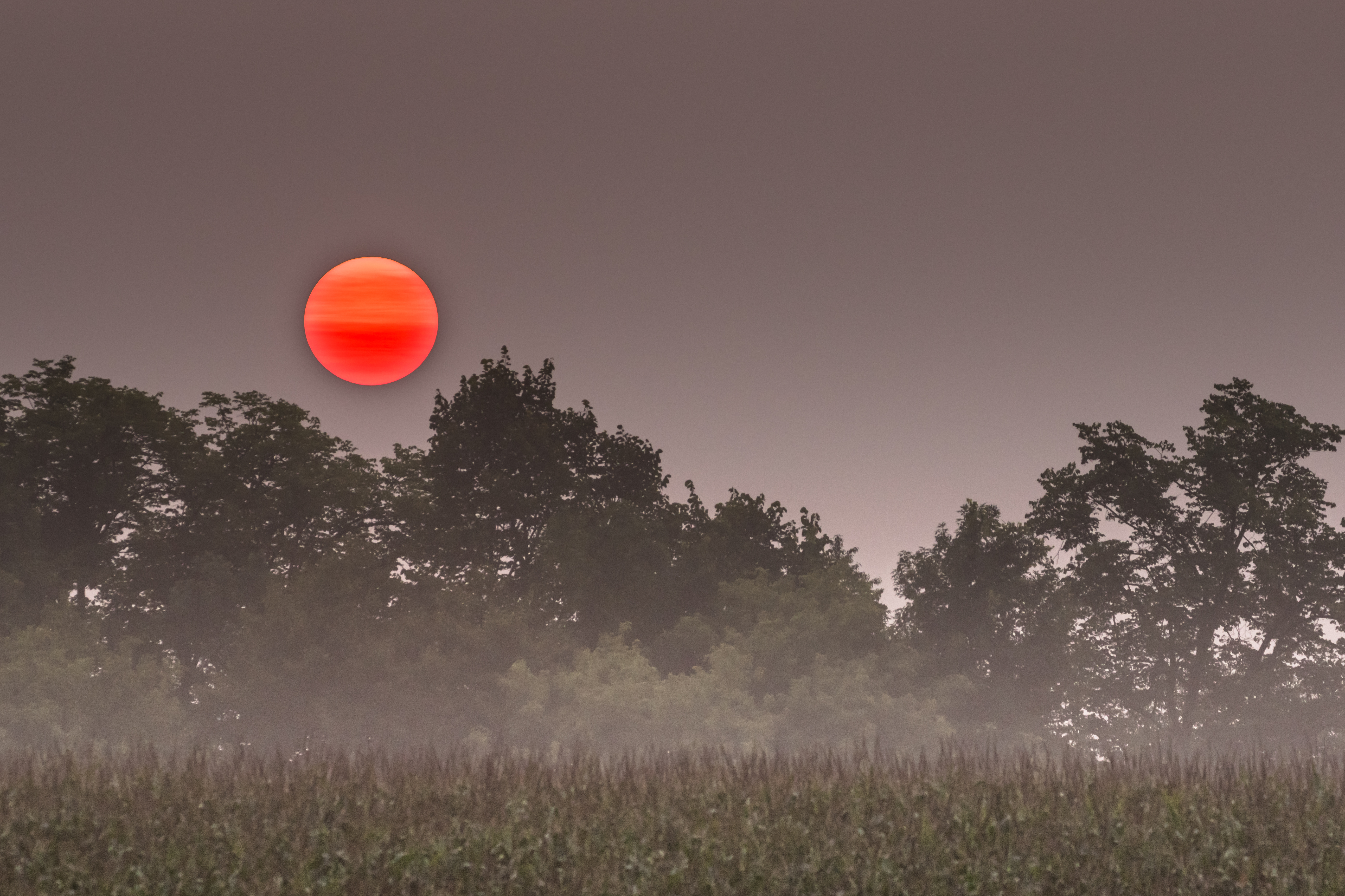
red star rising

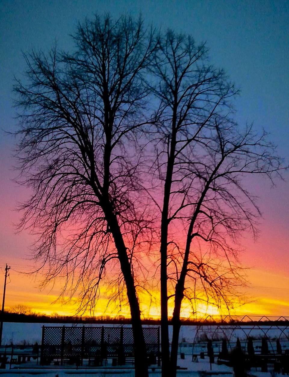
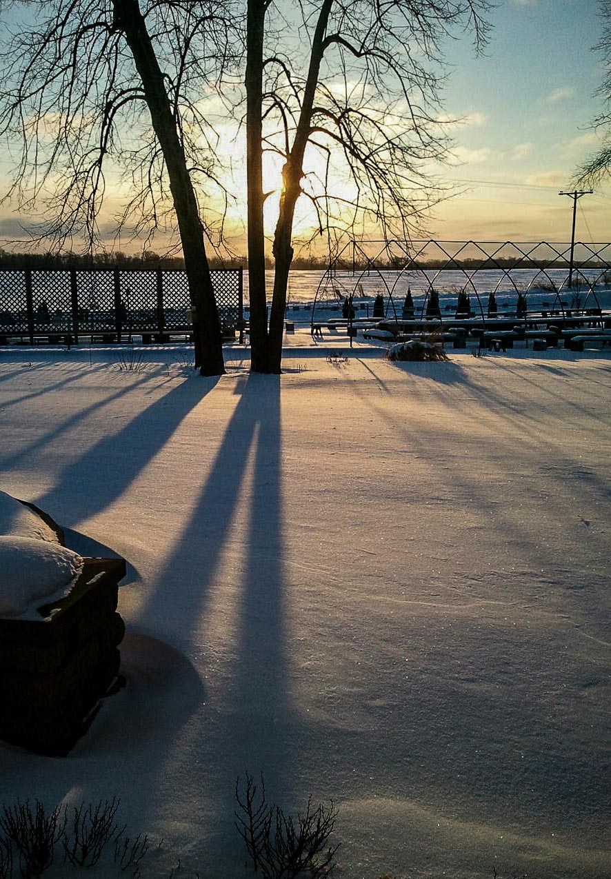
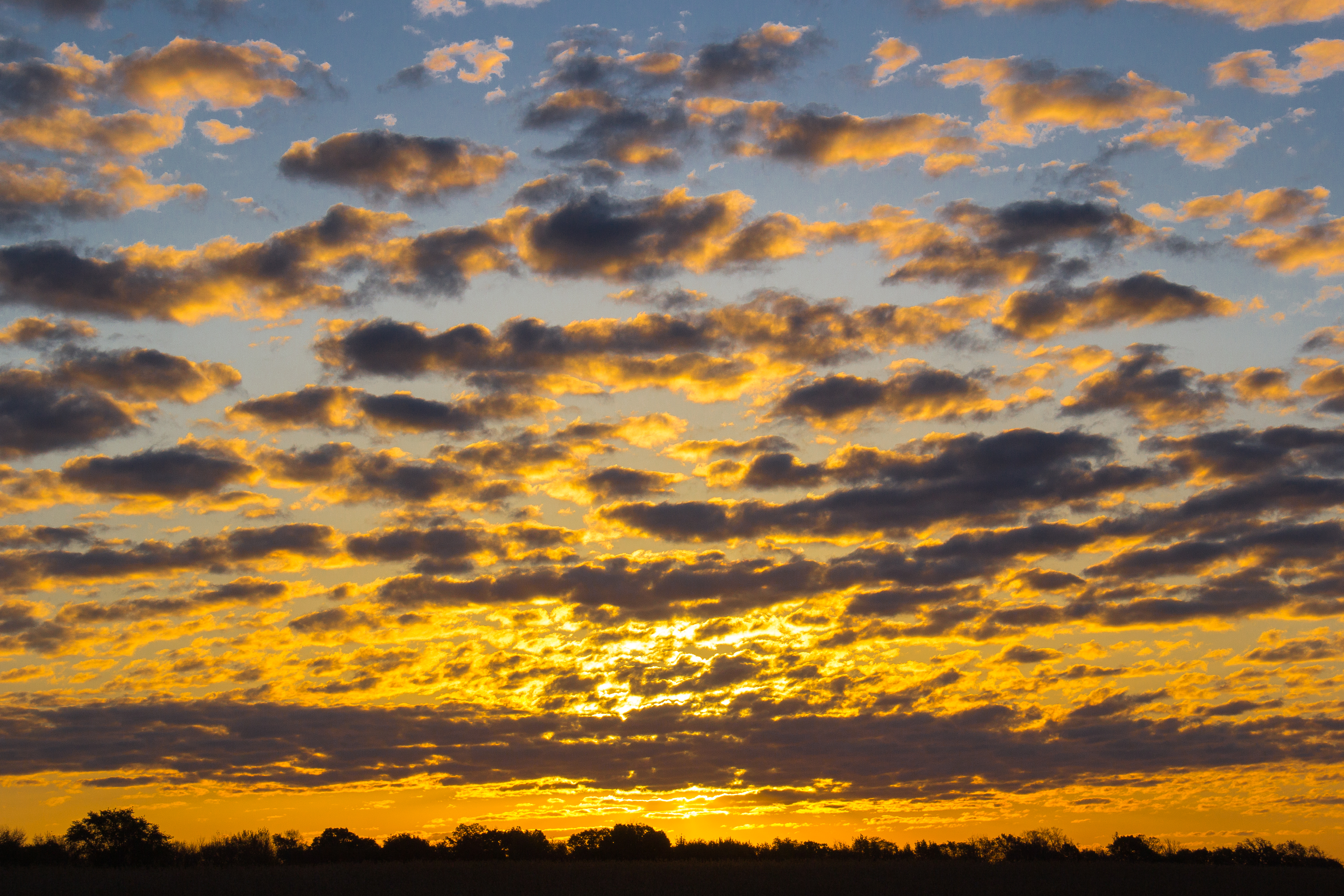
December Sunset, William O'Brien State Park, Minnesota

Winter Sunset at William O'Brien State Park
Harvest Glow
fall reflection

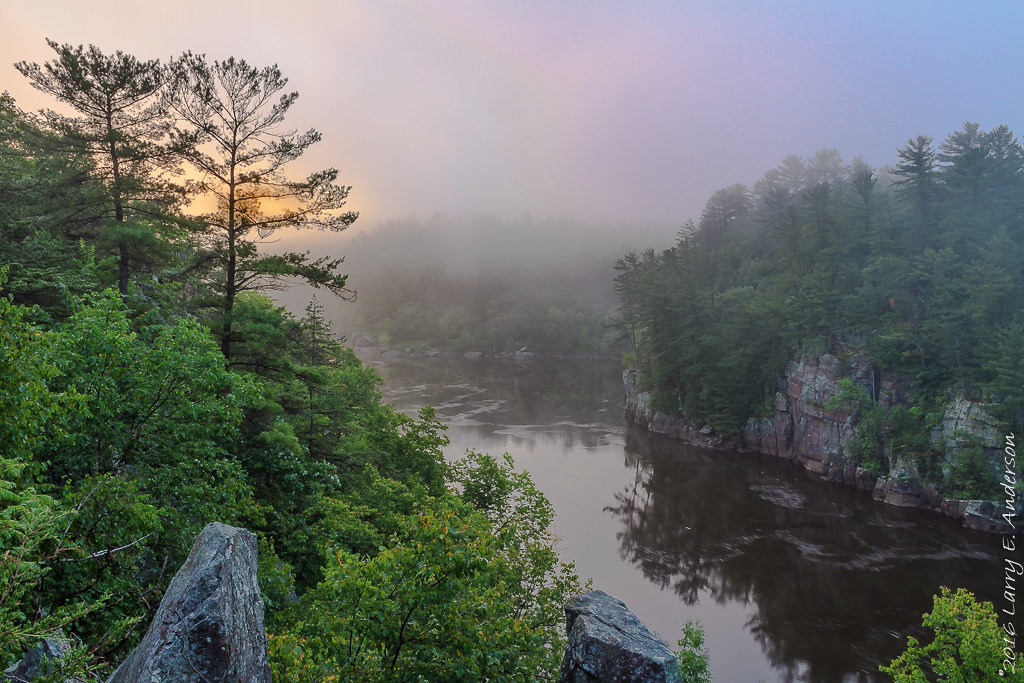
After The Rain
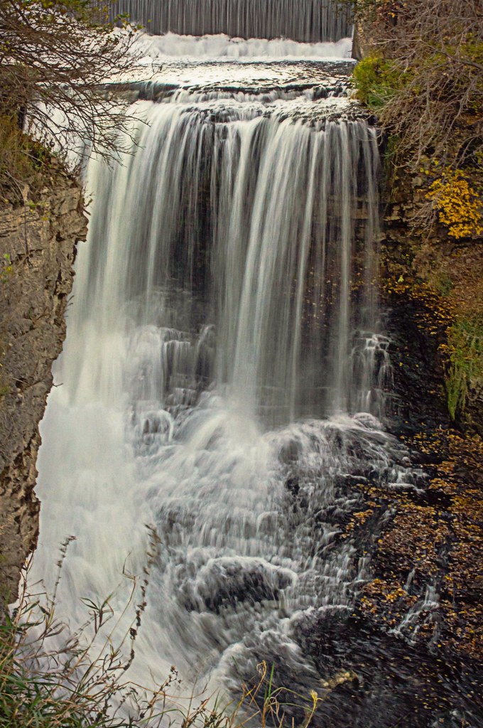
Falls of the Vermillion
The Dance of Light

"St. Croix River" Minnesota

blue sunset
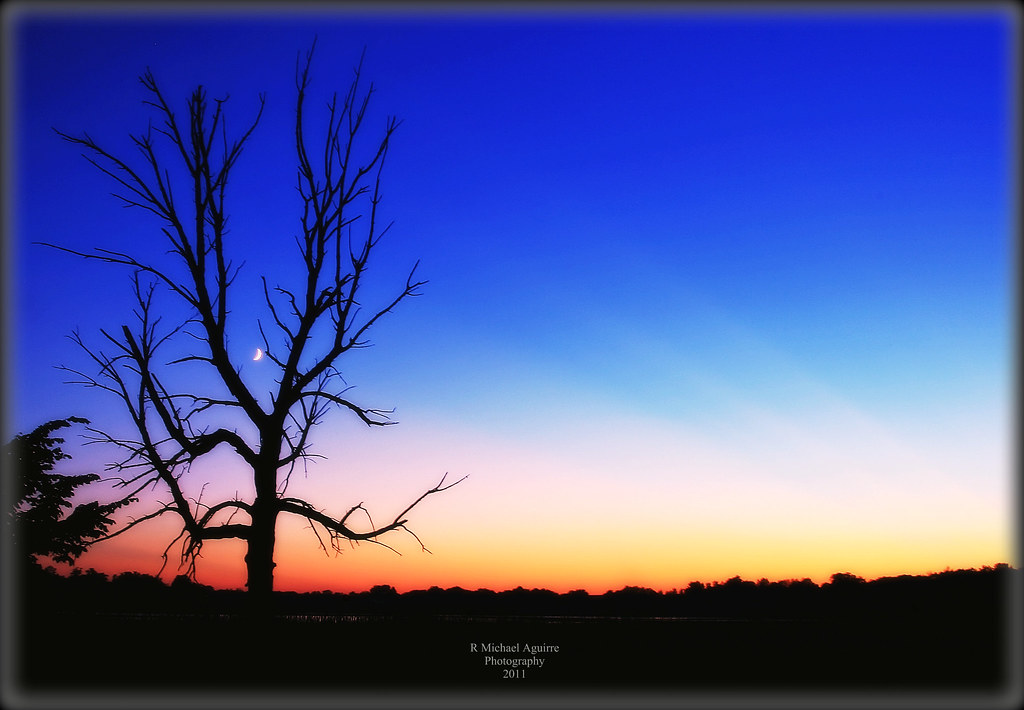
Sun Tree Moon

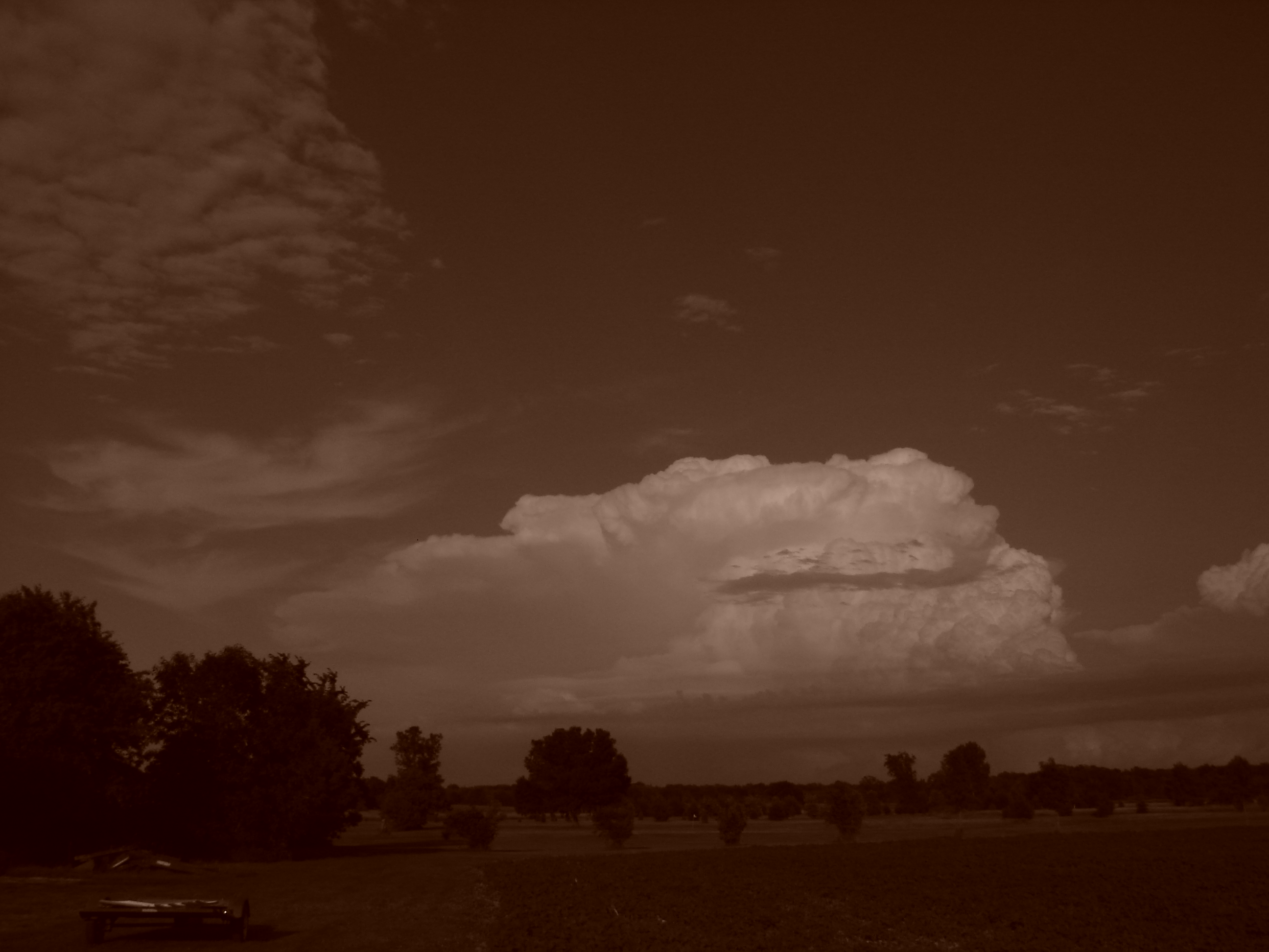
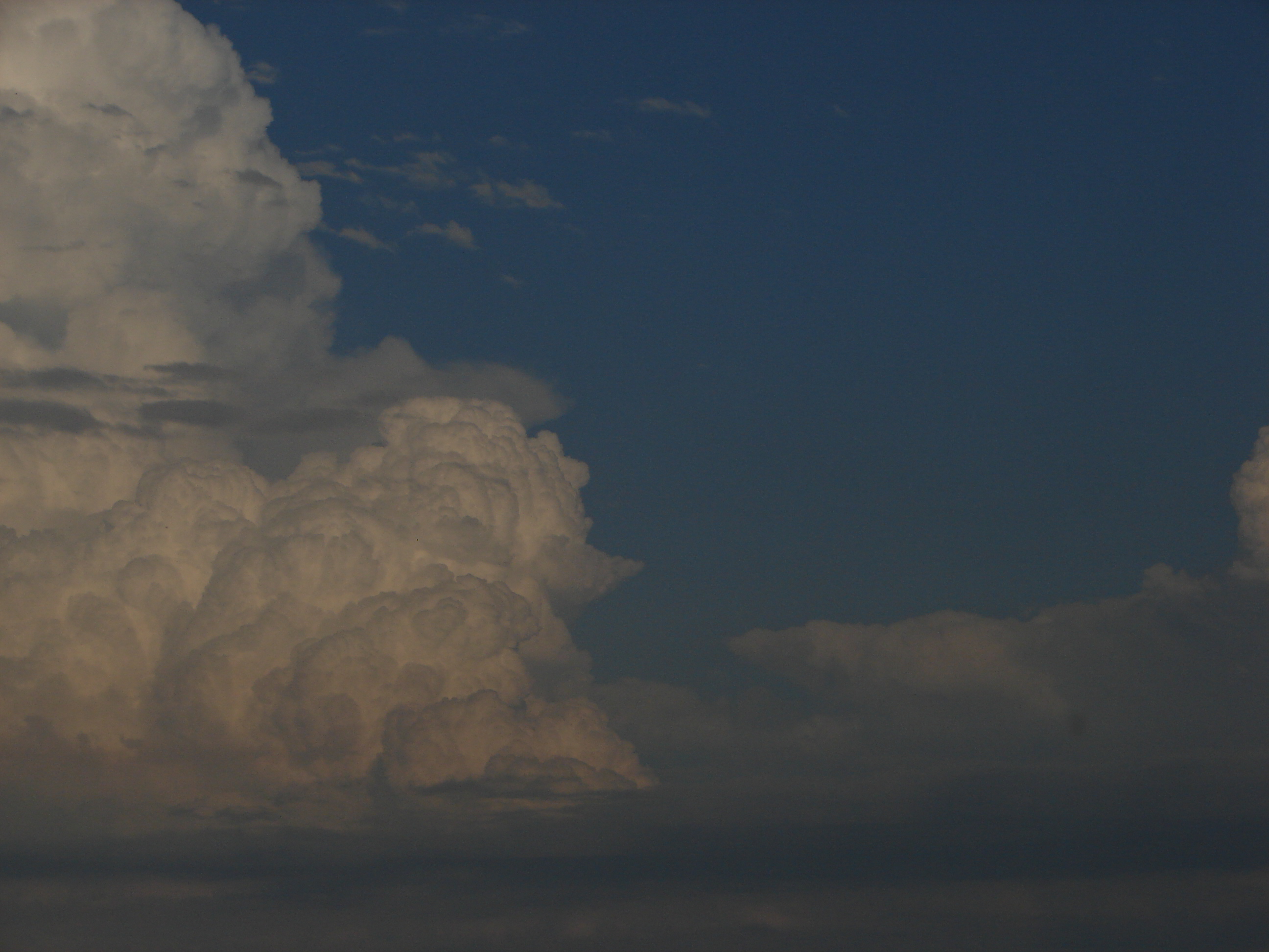
Mammatus Reflections
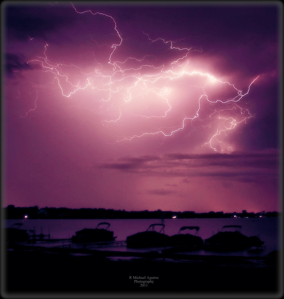
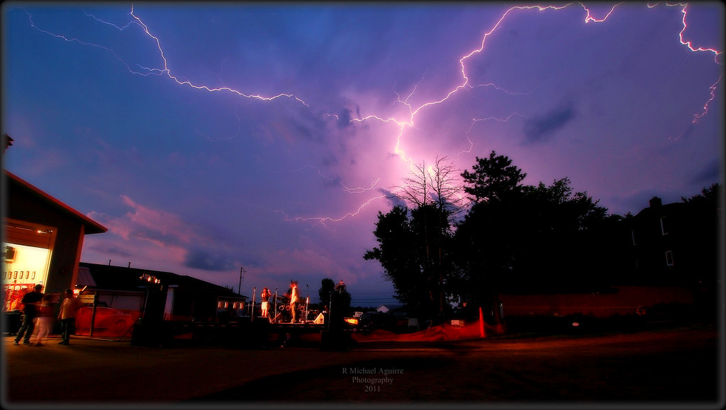
Power Surge On North Center Lake
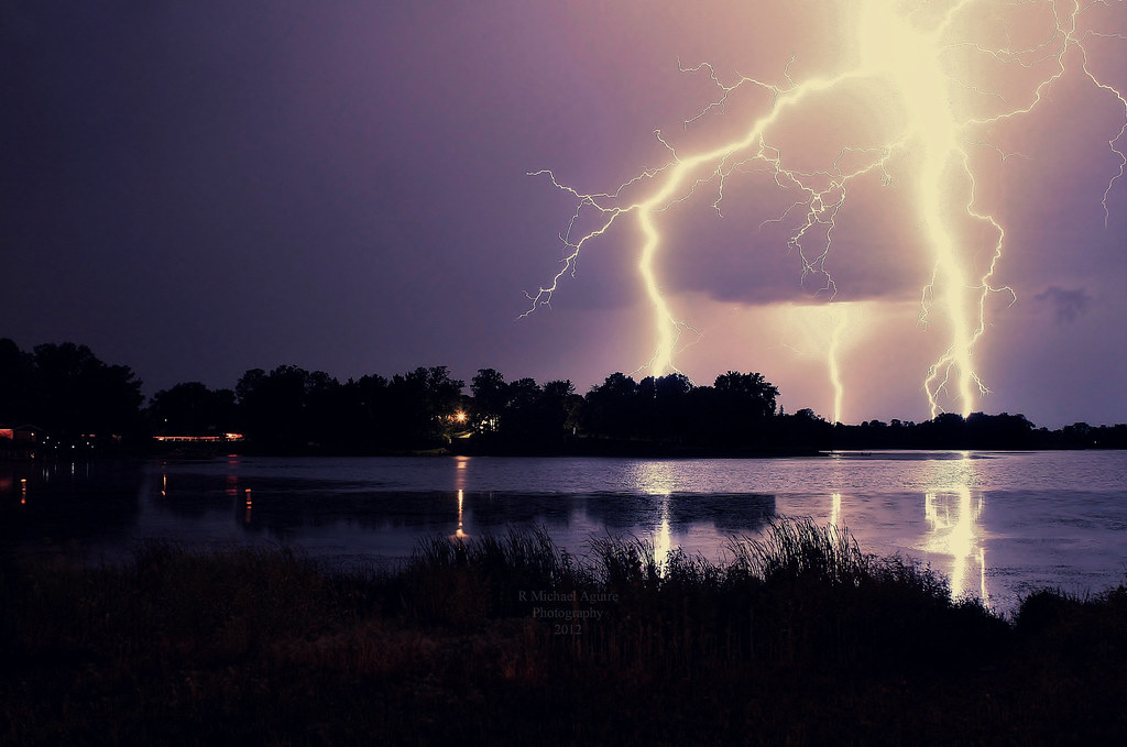
fourth of july thunder clouds over Shafer mn. (10)
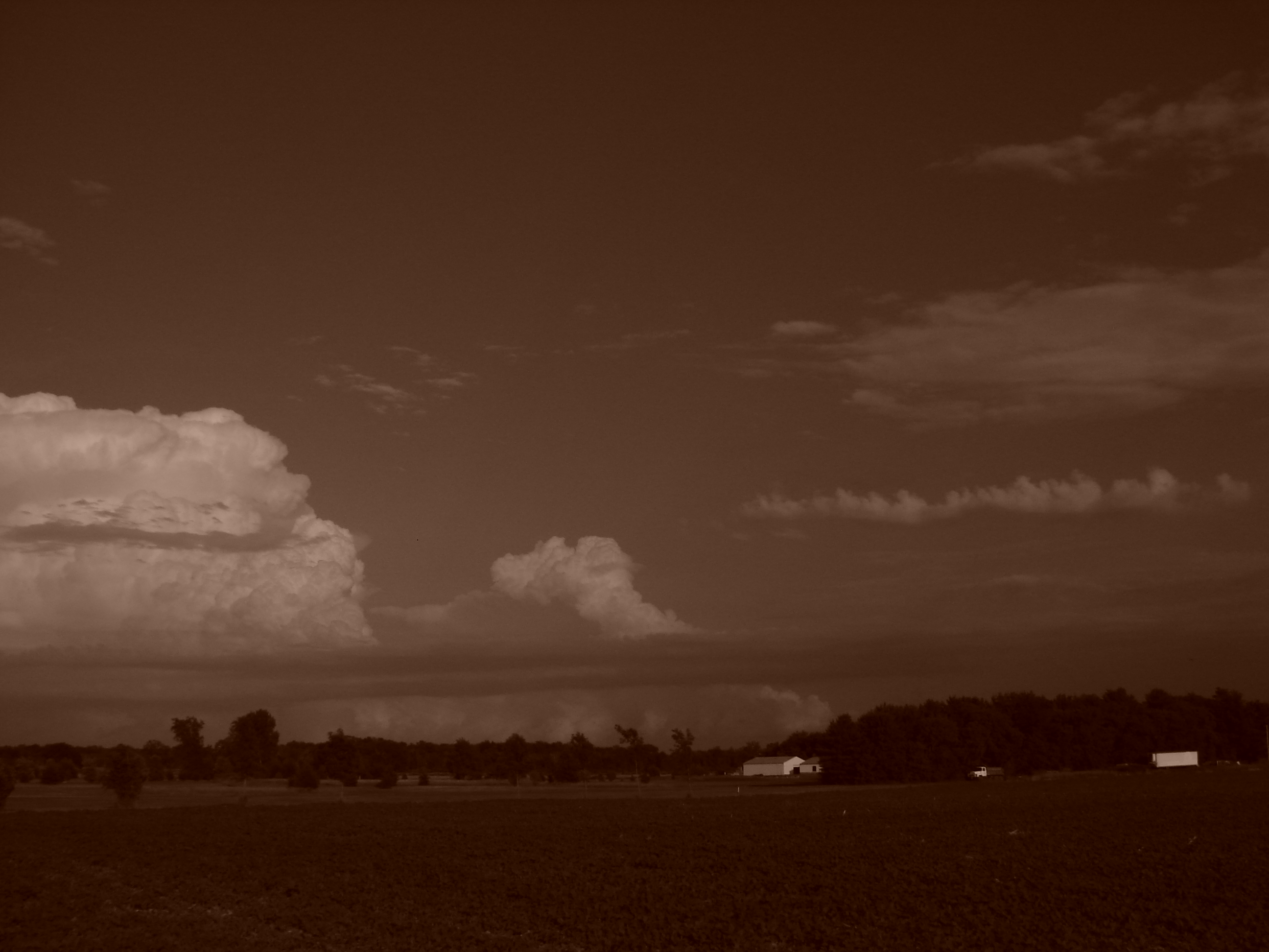
fourth of july thunder clouds over Shafer mn. (11)

cornfield sunrise
Wicked Music Stage

A Cornfield at Dusk
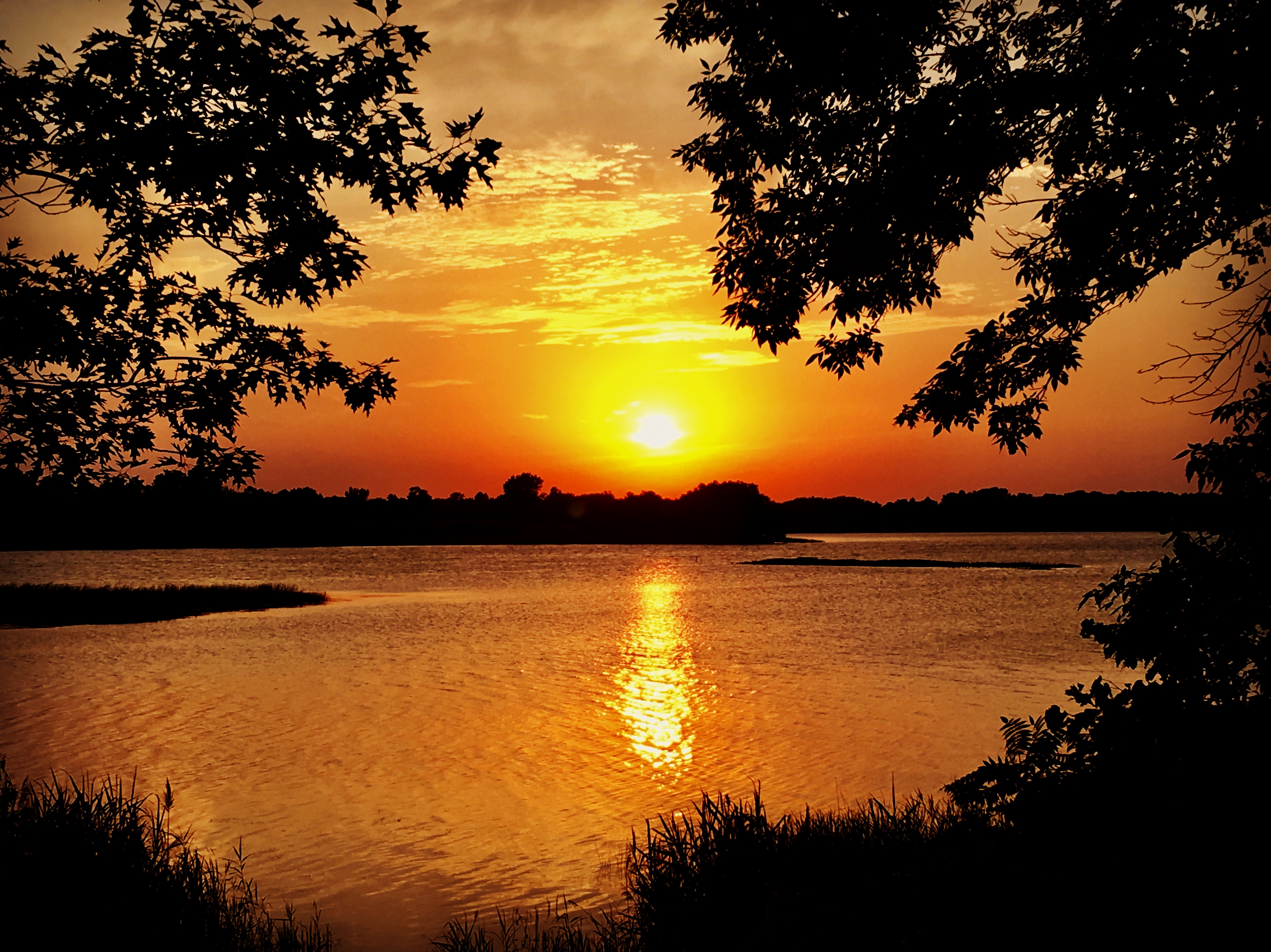
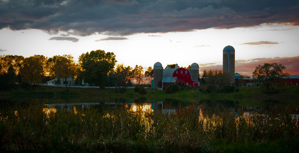
Chisago County Sunset
fourth of july thunder clouds over Shafer mn. (1)
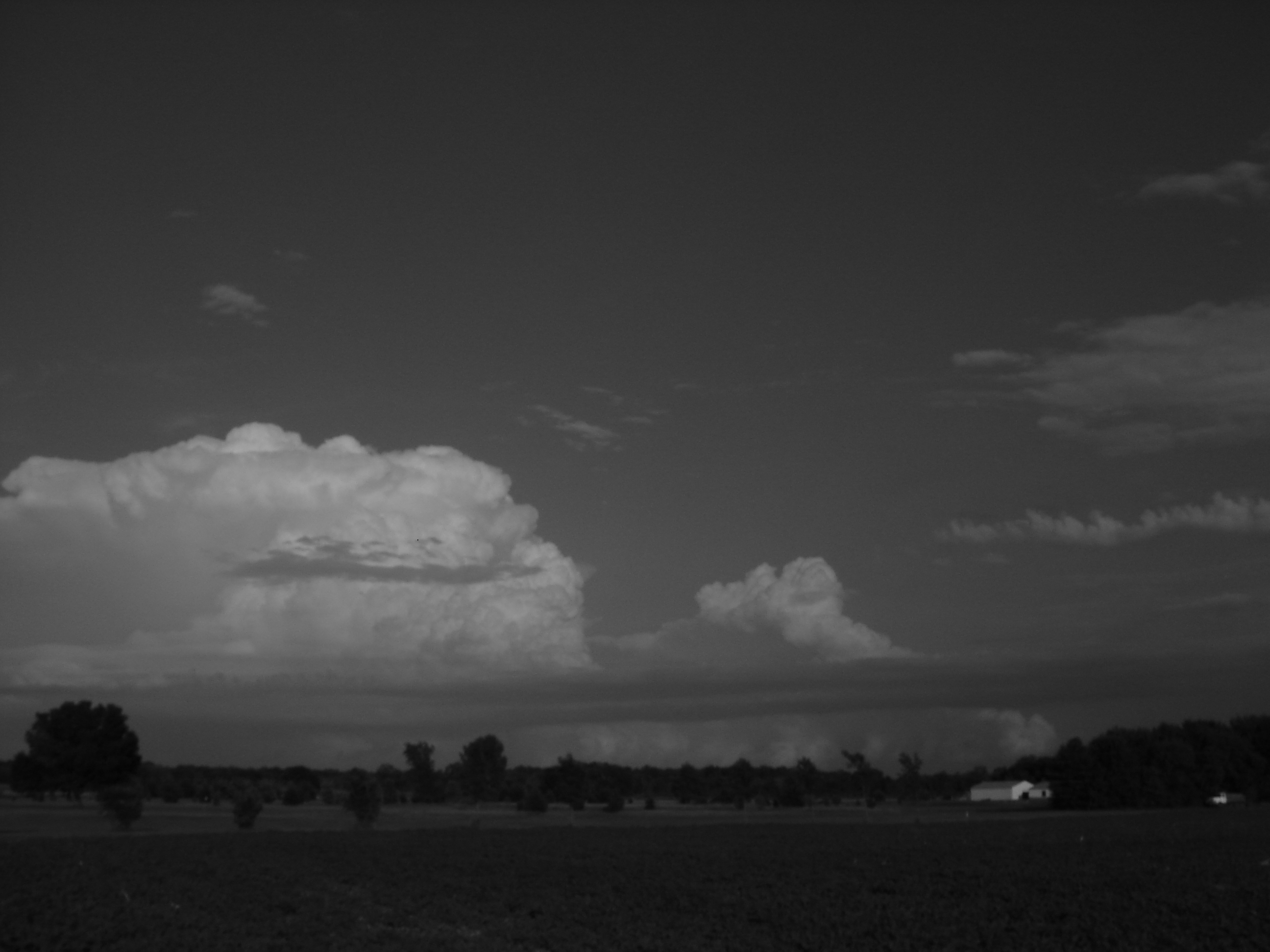
fourth of july thunder clouds over Shafer mn. (15)
Breaking Through HDR
basswood sunrise

Lonely Pine
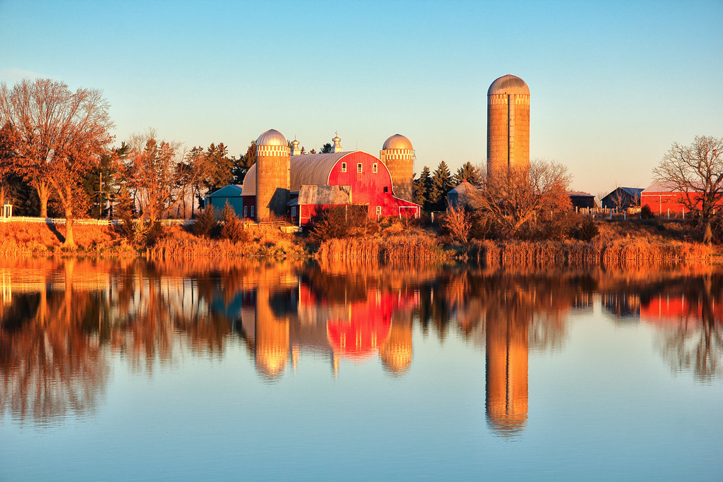
A Beautiful Autumn Farm at Sunrise...
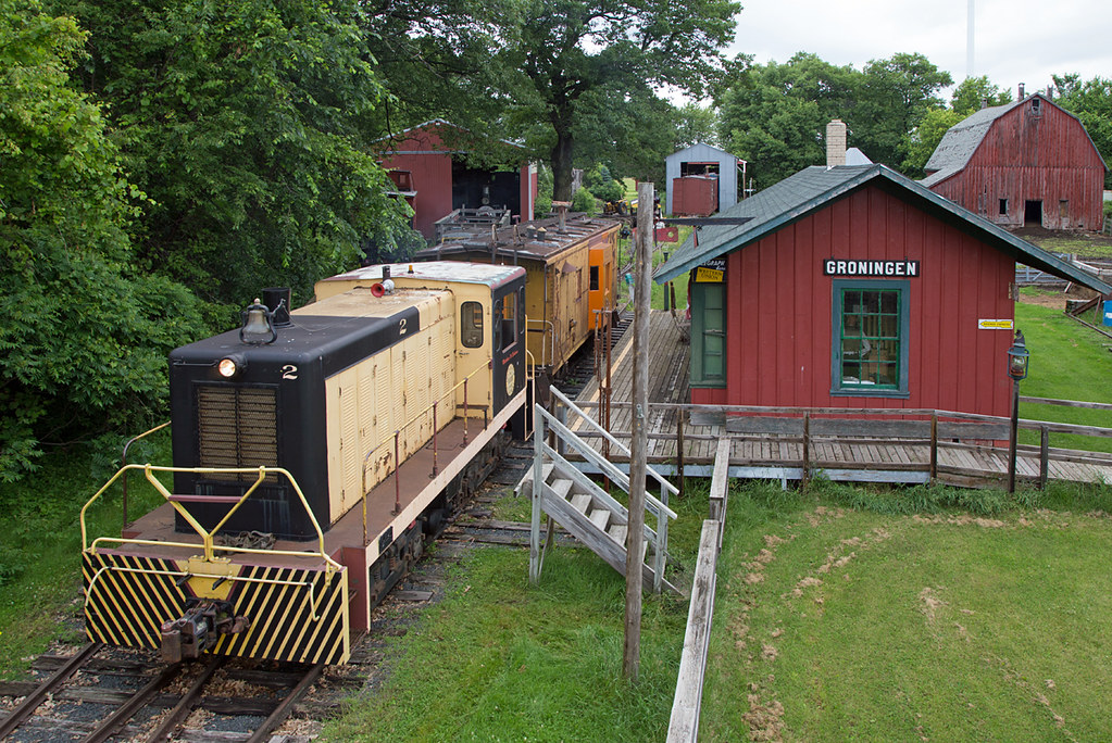
Groningen Station
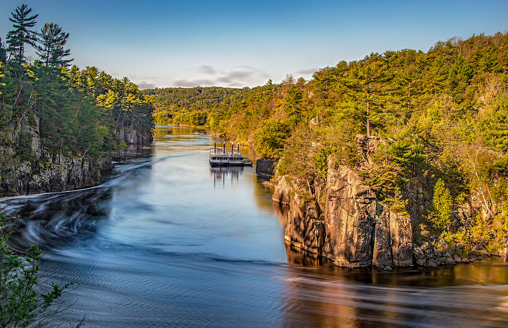
Saint Croix Sunrise

bitter orange
2013-02-19_07.39.06-1-2
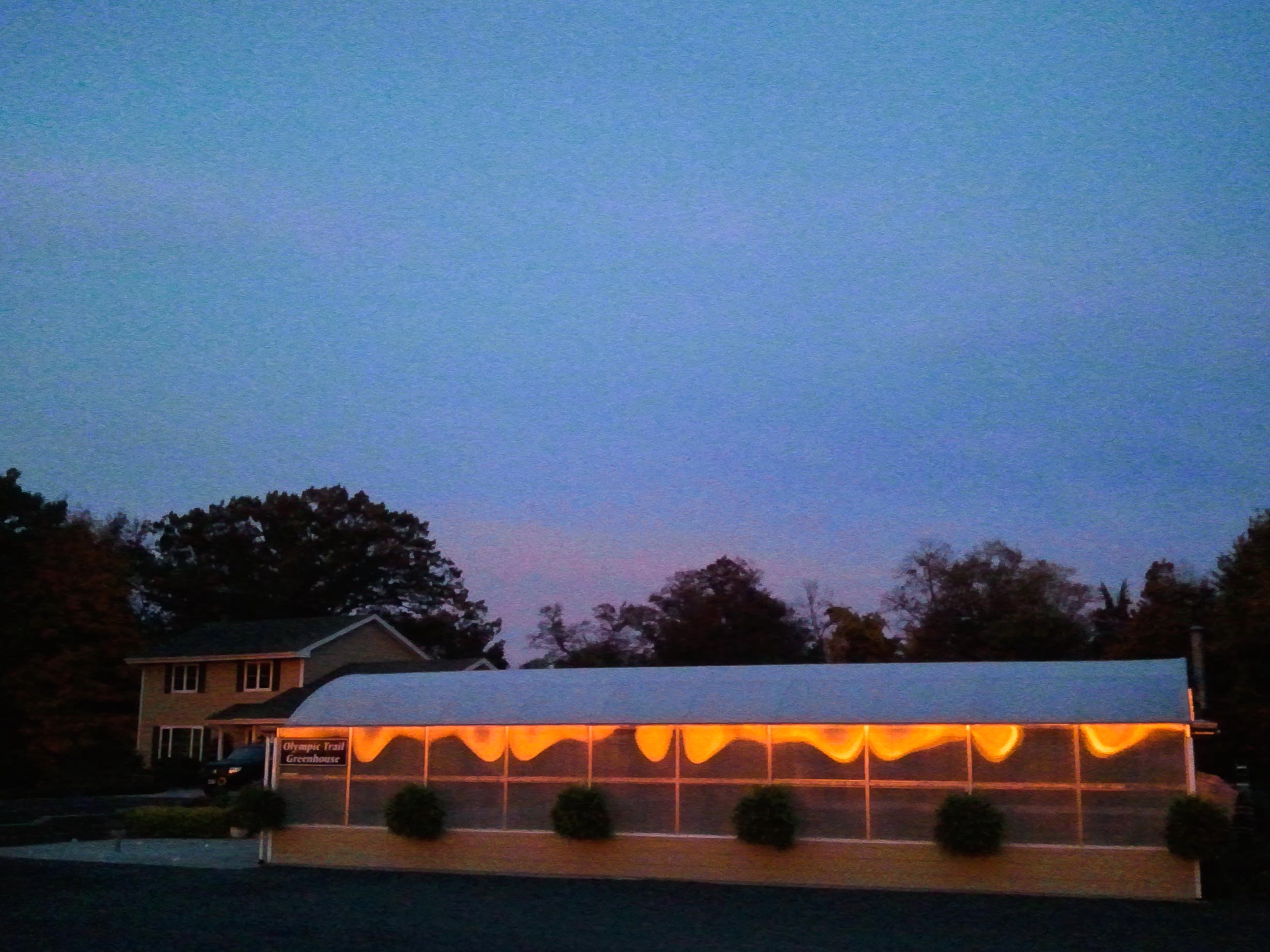
Sunrise Trail, Wyoming MN
2013-10-11_07.00.49-1-2

basswood sunrise

frost & mist & sunrise

picture window
morning sky
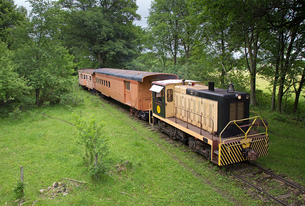
Hobo Camp on the IHC

Baldwin 2 with Branch Line Combine
Olinda Trail, Lindstrom, MN アメリカ合衆国の地図
別の場所を検索
近所の場所
アメリカ合衆国 ミネソタ州 フランコーニア・タウンシップ
Depot Rd, Osceola, WI アメリカ合衆国デポット・ロード
アメリカ合衆国 〒 ウィスコンシン州 オシオラ
Chieftain St, Osceola, WI アメリカ合衆国
nd St N, Marine on St Croix, MN アメリカ合衆国
アメリカ合衆国 ウィスコンシン州 オシオラ
アメリカ合衆国 ウィスコンシン州 サマーセット
アメリカ合衆国 〒 ウィスコンシン州 セント・クロワ・フォールズ
th Ave, Somerset, WI アメリカ合衆国
Ravine Cir N, Stillwater, MN アメリカ合衆国
84th Ave, Osceola, WI アメリカ合衆国
アメリカ合衆国 セント・クロワ川
Glacier Dr, St Croix Falls, WI アメリカ合衆国
アメリカ合衆国 〒 ウィスコンシン州 サマーセット
Sunny Acres Ln, St Croix Falls, WI アメリカ合衆国
2nd St N, Stillwater, MN アメリカ合衆国パイオニア・パーク
アメリカ合衆国 〒 ウィスコンシン州 ホールトン
Main St N, Stillwater, MN アメリカ合衆国
Main St N, Stillwater, MN アメリカ合衆国
Main St N, Stillwater, MN アメリカ合衆国Lofts of Stillwater
最近の検索
- アメリカ合衆国 アラスカ州 レッド・ドッグ・マイン日の出日の入り時間
- Am bhf, Borken, ドイツアム・バーンホーフ日の出日の入り時間
- 4th St E, Sonoma, CA, USA日の出日の入り時間
- Oakland Ave, Williamsport, PA アメリカ合衆国日の出日の入り時間
- Via Roma, Pieranica CR, イタリアローマ通り日の出日の入り時間
- クロアチア 〒 ドゥブロブニク GradClock Tower of Dubrovnik日の出日の入り時間
- アルゼンチン チュブ州 トレリュー日の出日の入り時間
- Hartfords Bluff Cir, Mt Pleasant, SC アメリカ合衆国日の出日の入り時間
- 日本、熊本県熊本市北区日の出日の入り時間
- 中華人民共和国 福州市 平潭県 平潭島日の出日の入り時間