N Buhach Rd, Atwater, CA アメリカ合衆国日の出日の入り時間
Location: アメリカ合衆国 > カリフォルニア州 > マーセド > アメリカ合衆国 〒 カリフォルニア州 アトウォーター >
時間帯:
America/Los_Angeles
現地時間:
2025-07-09 11:17:32
経度:
-120.5769434
緯度:
37.3619388
今日の日の出時刻:
05:50:45 AM
今日の日の入時刻:
08:24:53 PM
今日の日長:
14h 34m 8s
明日の日の出時刻:
05:51:24 AM
明日の日の入時刻:
08:24:30 PM
明日の日長:
14h 33m 6s
すべて表示する
| 日付 | 日出 | 日没 | 日長 |
|---|---|---|---|
| 2025年01月01日 | 07:16:41 AM | 04:56:23 PM | 9h 39m 42s |
| 2025年01月02日 | 07:16:46 AM | 04:57:13 PM | 9h 40m 27s |
| 2025年01月03日 | 07:16:49 AM | 04:58:04 PM | 9h 41m 15s |
| 2025年01月04日 | 07:16:51 AM | 04:58:56 PM | 9h 42m 5s |
| 2025年01月05日 | 07:16:50 AM | 04:59:49 PM | 9h 42m 59s |
| 2025年01月06日 | 07:16:47 AM | 05:00:43 PM | 9h 43m 56s |
| 2025年01月07日 | 07:16:42 AM | 05:01:39 PM | 9h 44m 57s |
| 2025年01月08日 | 07:16:35 AM | 05:02:35 PM | 9h 46m 0s |
| 2025年01月09日 | 07:16:26 AM | 05:03:33 PM | 9h 47m 7s |
| 2025年01月10日 | 07:16:15 AM | 05:04:31 PM | 9h 48m 16s |
| 2025年01月11日 | 07:16:02 AM | 05:05:30 PM | 9h 49m 28s |
| 2025年01月12日 | 07:15:47 AM | 05:06:30 PM | 9h 50m 43s |
| 2025年01月13日 | 07:15:30 AM | 05:07:30 PM | 9h 52m 0s |
| 2025年01月14日 | 07:15:11 AM | 05:08:32 PM | 9h 53m 21s |
| 2025年01月15日 | 07:14:50 AM | 05:09:33 PM | 9h 54m 43s |
| 2025年01月16日 | 07:14:26 AM | 05:10:36 PM | 9h 56m 10s |
| 2025年01月17日 | 07:14:01 AM | 05:11:39 PM | 9h 57m 38s |
| 2025年01月18日 | 07:13:34 AM | 05:12:42 PM | 9h 59m 8s |
| 2025年01月19日 | 07:13:05 AM | 05:13:46 PM | 10h 0m 41s |
| 2025年01月20日 | 07:12:35 AM | 05:14:51 PM | 10h 2m 16s |
| 2025年01月21日 | 07:12:02 AM | 05:15:55 PM | 10h 3m 53s |
| 2025年01月22日 | 07:11:27 AM | 05:17:00 PM | 10h 5m 33s |
| 2025年01月23日 | 07:10:51 AM | 05:18:06 PM | 10h 7m 15s |
| 2025年01月24日 | 07:10:13 AM | 05:19:11 PM | 10h 8m 58s |
| 2025年01月25日 | 07:09:33 AM | 05:20:17 PM | 10h 10m 44s |
| 2025年01月26日 | 07:08:51 AM | 05:21:23 PM | 10h 12m 32s |
| 2025年01月27日 | 07:08:07 AM | 05:22:28 PM | 10h 14m 21s |
| 2025年01月28日 | 07:07:22 AM | 05:23:35 PM | 10h 16m 13s |
| 2025年01月29日 | 07:06:35 AM | 05:24:41 PM | 10h 18m 6s |
| 2025年01月30日 | 07:05:46 AM | 05:25:47 PM | 10h 20m 1s |
| 2025年01月31日 | 07:04:56 AM | 05:26:53 PM | 10h 21m 57s |
| 2025年02月01日 | 07:04:04 AM | 05:27:59 PM | 10h 23m 55s |
| 2025年02月02日 | 07:03:11 AM | 05:29:05 PM | 10h 25m 54s |
| 2025年02月03日 | 07:02:16 AM | 05:30:11 PM | 10h 27m 55s |
| 2025年02月04日 | 07:01:20 AM | 05:31:17 PM | 10h 29m 57s |
| 2025年02月05日 | 07:00:22 AM | 05:32:22 PM | 10h 32m 0s |
| 2025年02月06日 | 06:59:23 AM | 05:33:28 PM | 10h 34m 5s |
| 2025年02月07日 | 06:58:22 AM | 05:34:33 PM | 10h 36m 11s |
| 2025年02月08日 | 06:57:20 AM | 05:35:38 PM | 10h 38m 18s |
| 2025年02月09日 | 06:56:16 AM | 05:36:43 PM | 10h 40m 27s |
| 2025年02月10日 | 06:55:12 AM | 05:37:48 PM | 10h 42m 36s |
| 2025年02月11日 | 06:54:06 AM | 05:38:52 PM | 10h 44m 46s |
| 2025年02月12日 | 06:52:58 AM | 05:39:56 PM | 10h 46m 58s |
| 2025年02月13日 | 06:51:50 AM | 05:41:00 PM | 10h 49m 10s |
| 2025年02月14日 | 06:50:40 AM | 05:42:04 PM | 10h 51m 24s |
| 2025年02月15日 | 06:49:30 AM | 05:43:07 PM | 10h 53m 37s |
| 2025年02月16日 | 06:48:18 AM | 05:44:10 PM | 10h 55m 52s |
| 2025年02月17日 | 06:47:05 AM | 05:45:13 PM | 10h 58m 8s |
| 2025年02月18日 | 06:45:51 AM | 05:46:15 PM | 11h 0m 24s |
| 2025年02月19日 | 06:44:36 AM | 05:47:18 PM | 11h 2m 42s |
| 2025年02月20日 | 06:43:20 AM | 05:48:19 PM | 11h 4m 59s |
| 2025年02月21日 | 06:42:03 AM | 05:49:21 PM | 11h 7m 18s |
| 2025年02月22日 | 06:40:45 AM | 05:50:22 PM | 11h 9m 37s |
| 2025年02月23日 | 06:39:26 AM | 05:51:23 PM | 11h 11m 57s |
| 2025年02月24日 | 06:38:07 AM | 05:52:23 PM | 11h 14m 16s |
| 2025年02月25日 | 06:36:47 AM | 05:53:23 PM | 11h 16m 36s |
| 2025年02月26日 | 06:35:25 AM | 05:54:23 PM | 11h 18m 58s |
| 2025年02月27日 | 06:34:04 AM | 05:55:23 PM | 11h 21m 19s |
| 2025年02月28日 | 06:32:41 AM | 05:56:22 PM | 11h 23m 41s |
| 2025年03月01日 | 06:31:18 AM | 05:57:21 PM | 11h 26m 3s |
| 2025年03月02日 | 06:29:54 AM | 05:58:20 PM | 11h 28m 26s |
| 2025年03月03日 | 06:28:29 AM | 05:59:18 PM | 11h 30m 49s |
| 2025年03月04日 | 06:27:04 AM | 06:00:16 PM | 11h 33m 12s |
| 2025年03月05日 | 06:25:39 AM | 06:01:14 PM | 11h 35m 35s |
| 2025年03月06日 | 06:24:13 AM | 06:02:11 PM | 11h 37m 58s |
| 2025年03月07日 | 06:22:46 AM | 06:03:08 PM | 11h 40m 22s |
| 2025年03月08日 | 06:21:19 AM | 06:04:05 PM | 11h 42m 46s |
| 2025年03月09日 | 07:19:55 AM | 07:05:00 PM | 11h 45m 5s |
| 2025年03月10日 | 07:18:27 AM | 07:05:56 PM | 11h 47m 29s |
| 2025年03月11日 | 07:16:59 AM | 07:06:52 PM | 11h 49m 53s |
| 2025年03月12日 | 07:15:30 AM | 07:07:48 PM | 11h 52m 18s |
| 2025年03月13日 | 07:14:01 AM | 07:08:44 PM | 11h 54m 43s |
| 2025年03月14日 | 07:12:32 AM | 07:09:40 PM | 11h 57m 8s |
| 2025年03月15日 | 07:11:02 AM | 07:10:35 PM | 11h 59m 33s |
| 2025年03月16日 | 07:09:33 AM | 07:11:30 PM | 12h 1m 57s |
| 2025年03月17日 | 07:08:03 AM | 07:12:25 PM | 12h 4m 22s |
| 2025年03月18日 | 07:06:33 AM | 07:13:20 PM | 12h 6m 47s |
| 2025年03月19日 | 07:05:03 AM | 07:14:15 PM | 12h 9m 12s |
| 2025年03月20日 | 07:03:33 AM | 07:15:09 PM | 12h 11m 36s |
| 2025年03月21日 | 07:02:02 AM | 07:16:04 PM | 12h 14m 2s |
| 2025年03月22日 | 07:00:32 AM | 07:16:58 PM | 12h 16m 26s |
| 2025年03月23日 | 06:59:02 AM | 07:17:52 PM | 12h 18m 50s |
| 2025年03月24日 | 06:57:31 AM | 07:18:46 PM | 12h 21m 15s |
| 2025年03月25日 | 06:56:01 AM | 07:19:40 PM | 12h 23m 39s |
| 2025年03月26日 | 06:54:31 AM | 07:20:34 PM | 12h 26m 3s |
| 2025年03月27日 | 06:53:01 AM | 07:21:28 PM | 12h 28m 27s |
| 2025年03月28日 | 06:51:31 AM | 07:22:22 PM | 12h 30m 51s |
| 2025年03月29日 | 06:50:01 AM | 07:23:16 PM | 12h 33m 15s |
| 2025年03月30日 | 06:48:32 AM | 07:24:10 PM | 12h 35m 38s |
| 2025年03月31日 | 06:47:03 AM | 07:25:03 PM | 12h 38m 0s |
| 2025年04月01日 | 06:45:33 AM | 07:25:57 PM | 12h 40m 24s |
| 2025年04月02日 | 06:44:05 AM | 07:26:51 PM | 12h 42m 46s |
| 2025年04月03日 | 06:42:36 AM | 07:27:44 PM | 12h 45m 8s |
| 2025年04月04日 | 06:41:08 AM | 07:28:38 PM | 12h 47m 30s |
| 2025年04月05日 | 06:39:41 AM | 07:29:32 PM | 12h 49m 51s |
| 2025年04月06日 | 06:38:13 AM | 07:30:25 PM | 12h 52m 12s |
| 2025年04月07日 | 06:36:47 AM | 07:31:19 PM | 12h 54m 32s |
| 2025年04月08日 | 06:35:20 AM | 07:32:13 PM | 12h 56m 53s |
| 2025年04月09日 | 06:33:54 AM | 07:33:06 PM | 12h 59m 12s |
| 2025年04月10日 | 06:32:29 AM | 07:34:00 PM | 13h 1m 31s |
| 2025年04月11日 | 06:31:04 AM | 07:34:54 PM | 13h 3m 50s |
| 2025年04月12日 | 06:29:40 AM | 07:35:48 PM | 13h 6m 8s |
| 2025年04月13日 | 06:28:17 AM | 07:36:42 PM | 13h 8m 25s |
| 2025年04月14日 | 06:26:54 AM | 07:37:36 PM | 13h 10m 42s |
| 2025年04月15日 | 06:25:32 AM | 07:38:30 PM | 13h 12m 58s |
| 2025年04月16日 | 06:24:10 AM | 07:39:24 PM | 13h 15m 14s |
| 2025年04月17日 | 06:22:49 AM | 07:40:18 PM | 13h 17m 29s |
| 2025年04月18日 | 06:21:29 AM | 07:41:12 PM | 13h 19m 43s |
| 2025年04月19日 | 06:20:10 AM | 07:42:06 PM | 13h 21m 56s |
| 2025年04月20日 | 06:18:52 AM | 07:43:00 PM | 13h 24m 8s |
| 2025年04月21日 | 06:17:34 AM | 07:43:55 PM | 13h 26m 21s |
| 2025年04月22日 | 06:16:18 AM | 07:44:49 PM | 13h 28m 31s |
| 2025年04月23日 | 06:15:02 AM | 07:45:43 PM | 13h 30m 41s |
| 2025年04月24日 | 06:13:47 AM | 07:46:38 PM | 13h 32m 51s |
| 2025年04月25日 | 06:12:33 AM | 07:47:32 PM | 13h 34m 59s |
| 2025年04月26日 | 06:11:21 AM | 07:48:26 PM | 13h 37m 5s |
| 2025年04月27日 | 06:10:09 AM | 07:49:20 PM | 13h 39m 11s |
| 2025年04月28日 | 06:08:58 AM | 07:50:15 PM | 13h 41m 17s |
| 2025年04月29日 | 06:07:49 AM | 07:51:09 PM | 13h 43m 20s |
| 2025年04月30日 | 06:06:40 AM | 07:52:03 PM | 13h 45m 23s |
| 2025年05月01日 | 06:05:33 AM | 07:52:57 PM | 13h 47m 24s |
| 2025年05月02日 | 06:04:27 AM | 07:53:51 PM | 13h 49m 24s |
| 2025年05月03日 | 06:03:22 AM | 07:54:45 PM | 13h 51m 23s |
| 2025年05月04日 | 06:02:18 AM | 07:55:39 PM | 13h 53m 21s |
| 2025年05月05日 | 06:01:16 AM | 07:56:32 PM | 13h 55m 16s |
| 2025年05月06日 | 06:00:15 AM | 07:57:26 PM | 13h 57m 11s |
| 2025年05月07日 | 05:59:15 AM | 07:58:19 PM | 13h 59m 4s |
| 2025年05月08日 | 05:58:17 AM | 07:59:12 PM | 14h 0m 55s |
| 2025年05月09日 | 05:57:20 AM | 08:00:05 PM | 14h 2m 45s |
| 2025年05月10日 | 05:56:24 AM | 08:00:57 PM | 14h 4m 33s |
| 2025年05月11日 | 05:55:30 AM | 08:01:50 PM | 14h 6m 20s |
| 2025年05月12日 | 05:54:37 AM | 08:02:42 PM | 14h 8m 5s |
| 2025年05月13日 | 05:53:46 AM | 08:03:33 PM | 14h 9m 47s |
| 2025年05月14日 | 05:52:56 AM | 08:04:25 PM | 14h 11m 29s |
| 2025年05月15日 | 05:52:08 AM | 08:05:15 PM | 14h 13m 7s |
| 2025年05月16日 | 05:51:21 AM | 08:06:06 PM | 14h 14m 45s |
| 2025年05月17日 | 05:50:36 AM | 08:06:56 PM | 14h 16m 20s |
| 2025年05月18日 | 05:49:52 AM | 08:07:45 PM | 14h 17m 53s |
| 2025年05月19日 | 05:49:10 AM | 08:08:34 PM | 14h 19m 24s |
| 2025年05月20日 | 05:48:30 AM | 08:09:23 PM | 14h 20m 53s |
| 2025年05月21日 | 05:47:51 AM | 08:10:11 PM | 14h 22m 20s |
| 2025年05月22日 | 05:47:14 AM | 08:10:58 PM | 14h 23m 44s |
| 2025年05月23日 | 05:46:39 AM | 08:11:45 PM | 14h 25m 6s |
| 2025年05月24日 | 05:46:05 AM | 08:12:30 PM | 14h 26m 25s |
| 2025年05月25日 | 05:45:33 AM | 08:13:15 PM | 14h 27m 42s |
| 2025年05月26日 | 05:45:03 AM | 08:14:00 PM | 14h 28m 57s |
| 2025年05月27日 | 05:44:34 AM | 08:14:43 PM | 14h 30m 9s |
| 2025年05月28日 | 05:44:08 AM | 08:15:26 PM | 14h 31m 18s |
| 2025年05月29日 | 05:43:43 AM | 08:16:08 PM | 14h 32m 25s |
| 2025年05月30日 | 05:43:19 AM | 08:16:49 PM | 14h 33m 30s |
| 2025年05月31日 | 05:42:58 AM | 08:17:29 PM | 14h 34m 31s |
| 2025年06月01日 | 05:42:38 AM | 08:18:08 PM | 14h 35m 30s |
| 2025年06月02日 | 05:42:20 AM | 08:18:45 PM | 14h 36m 25s |
| 2025年06月03日 | 05:42:04 AM | 08:19:22 PM | 14h 37m 18s |
| 2025年06月04日 | 05:41:50 AM | 08:19:58 PM | 14h 38m 8s |
| 2025年06月05日 | 05:41:37 AM | 08:20:32 PM | 14h 38m 55s |
| 2025年06月06日 | 05:41:26 AM | 08:21:06 PM | 14h 39m 40s |
| 2025年06月07日 | 05:41:17 AM | 08:21:38 PM | 14h 40m 21s |
| 2025年06月08日 | 05:41:10 AM | 08:22:08 PM | 14h 40m 58s |
| 2025年06月09日 | 05:41:05 AM | 08:22:38 PM | 14h 41m 33s |
| 2025年06月10日 | 05:41:01 AM | 08:23:06 PM | 14h 42m 5s |
| 2025年06月11日 | 05:40:59 AM | 08:23:33 PM | 14h 42m 34s |
| 2025年06月12日 | 05:40:59 AM | 08:23:58 PM | 14h 42m 59s |
| 2025年06月13日 | 05:41:00 AM | 08:24:22 PM | 14h 43m 22s |
| 2025年06月14日 | 05:41:04 AM | 08:24:45 PM | 14h 43m 41s |
| 2025年06月15日 | 05:41:09 AM | 08:25:06 PM | 14h 43m 57s |
| 2025年06月16日 | 05:41:15 AM | 08:25:25 PM | 14h 44m 10s |
| 2025年06月17日 | 05:41:23 AM | 08:25:43 PM | 14h 44m 20s |
| 2025年06月18日 | 05:41:33 AM | 08:25:59 PM | 14h 44m 26s |
| 2025年06月19日 | 05:41:45 AM | 08:26:14 PM | 14h 44m 29s |
| 2025年06月20日 | 05:41:58 AM | 08:26:27 PM | 14h 44m 29s |
| 2025年06月21日 | 05:42:13 AM | 08:26:38 PM | 14h 44m 25s |
| 2025年06月22日 | 05:42:29 AM | 08:26:48 PM | 14h 44m 19s |
| 2025年06月23日 | 05:42:47 AM | 08:26:56 PM | 14h 44m 9s |
| 2025年06月24日 | 05:43:06 AM | 08:27:02 PM | 14h 43m 56s |
| 2025年06月25日 | 05:43:26 AM | 08:27:07 PM | 14h 43m 41s |
| 2025年06月26日 | 05:43:49 AM | 08:27:09 PM | 14h 43m 20s |
| 2025年06月27日 | 05:44:12 AM | 08:27:10 PM | 14h 42m 58s |
| 2025年06月28日 | 05:44:37 AM | 08:27:10 PM | 14h 42m 33s |
| 2025年06月29日 | 05:45:03 AM | 08:27:07 PM | 14h 42m 4s |
| 2025年06月30日 | 05:45:31 AM | 08:27:03 PM | 14h 41m 32s |
| 2025年07月01日 | 05:46:00 AM | 08:26:56 PM | 14h 40m 56s |
| 2025年07月02日 | 05:46:30 AM | 08:26:48 PM | 14h 40m 18s |
| 2025年07月03日 | 05:47:01 AM | 08:26:39 PM | 14h 39m 38s |
| 2025年07月04日 | 05:47:33 AM | 08:26:27 PM | 14h 38m 54s |
| 2025年07月05日 | 05:48:07 AM | 08:26:13 PM | 14h 38m 6s |
| 2025年07月06日 | 05:48:41 AM | 08:25:58 PM | 14h 37m 17s |
| 2025年07月07日 | 05:49:17 AM | 08:25:41 PM | 14h 36m 24s |
| 2025年07月08日 | 05:49:53 AM | 08:25:22 PM | 14h 35m 29s |
| 2025年07月09日 | 05:50:31 AM | 08:25:01 PM | 14h 34m 30s |
| 2025年07月10日 | 05:51:09 AM | 08:24:39 PM | 14h 33m 30s |
| 2025年07月11日 | 05:51:49 AM | 08:24:14 PM | 14h 32m 25s |
| 2025年07月12日 | 05:52:29 AM | 08:23:48 PM | 14h 31m 19s |
| 2025年07月13日 | 05:53:10 AM | 08:23:20 PM | 14h 30m 10s |
| 2025年07月14日 | 05:53:52 AM | 08:22:50 PM | 14h 28m 58s |
| 2025年07月15日 | 05:54:34 AM | 08:22:19 PM | 14h 27m 45s |
| 2025年07月16日 | 05:55:18 AM | 08:21:46 PM | 14h 26m 28s |
| 2025年07月17日 | 05:56:02 AM | 08:21:11 PM | 14h 25m 9s |
| 2025年07月18日 | 05:56:46 AM | 08:20:34 PM | 14h 23m 48s |
| 2025年07月19日 | 05:57:31 AM | 08:19:56 PM | 14h 22m 25s |
| 2025年07月20日 | 05:58:17 AM | 08:19:16 PM | 14h 20m 59s |
| 2025年07月21日 | 05:59:03 AM | 08:18:34 PM | 14h 19m 31s |
| 2025年07月22日 | 05:59:50 AM | 08:17:50 PM | 14h 18m 0s |
| 2025年07月23日 | 06:00:37 AM | 08:17:05 PM | 14h 16m 28s |
| 2025年07月24日 | 06:01:25 AM | 08:16:19 PM | 14h 14m 54s |
| 2025年07月25日 | 06:02:13 AM | 08:15:31 PM | 14h 13m 18s |
| 2025年07月26日 | 06:03:01 AM | 08:14:41 PM | 14h 11m 40s |
| 2025年07月27日 | 06:03:50 AM | 08:13:50 PM | 14h 10m 0s |
| 2025年07月28日 | 06:04:39 AM | 08:12:57 PM | 14h 8m 18s |
| 2025年07月29日 | 06:05:28 AM | 08:12:02 PM | 14h 6m 34s |
| 2025年07月30日 | 06:06:17 AM | 08:11:07 PM | 14h 4m 50s |
| 2025年07月31日 | 06:07:07 AM | 08:10:09 PM | 14h 3m 2s |
| 2025年08月01日 | 06:07:57 AM | 08:09:11 PM | 14h 1m 14s |
| 2025年08月02日 | 06:08:47 AM | 08:08:11 PM | 13h 59m 24s |
| 2025年08月03日 | 06:09:37 AM | 08:07:09 PM | 13h 57m 32s |
| 2025年08月04日 | 06:10:27 AM | 08:06:07 PM | 13h 55m 40s |
| 2025年08月05日 | 06:11:18 AM | 08:05:03 PM | 13h 53m 45s |
| 2025年08月06日 | 06:12:08 AM | 08:03:58 PM | 13h 51m 50s |
| 2025年08月07日 | 06:12:59 AM | 08:02:51 PM | 13h 49m 52s |
| 2025年08月08日 | 06:13:50 AM | 08:01:43 PM | 13h 47m 53s |
| 2025年08月09日 | 06:14:40 AM | 08:00:34 PM | 13h 45m 54s |
| 2025年08月10日 | 06:15:31 AM | 07:59:24 PM | 13h 43m 53s |
| 2025年08月11日 | 06:16:22 AM | 07:58:13 PM | 13h 41m 51s |
| 2025年08月12日 | 06:17:13 AM | 07:57:01 PM | 13h 39m 48s |
| 2025年08月13日 | 06:18:03 AM | 07:55:47 PM | 13h 37m 44s |
| 2025年08月14日 | 06:18:54 AM | 07:54:33 PM | 13h 35m 39s |
| 2025年08月15日 | 06:19:45 AM | 07:53:17 PM | 13h 33m 32s |
| 2025年08月16日 | 06:20:35 AM | 07:52:01 PM | 13h 31m 26s |
| 2025年08月17日 | 06:21:26 AM | 07:50:43 PM | 13h 29m 17s |
| 2025年08月18日 | 06:22:16 AM | 07:49:25 PM | 13h 27m 9s |
| 2025年08月19日 | 06:23:07 AM | 07:48:06 PM | 13h 24m 59s |
| 2025年08月20日 | 06:23:57 AM | 07:46:46 PM | 13h 22m 49s |
| 2025年08月21日 | 06:24:48 AM | 07:45:25 PM | 13h 20m 37s |
| 2025年08月22日 | 06:25:38 AM | 07:44:03 PM | 13h 18m 25s |
| 2025年08月23日 | 06:26:28 AM | 07:42:40 PM | 13h 16m 12s |
| 2025年08月24日 | 06:27:18 AM | 07:41:17 PM | 13h 13m 59s |
| 2025年08月25日 | 06:28:08 AM | 07:39:53 PM | 13h 11m 45s |
| 2025年08月26日 | 06:28:58 AM | 07:38:28 PM | 13h 9m 30s |
| 2025年08月27日 | 06:29:48 AM | 07:37:03 PM | 13h 7m 15s |
| 2025年08月28日 | 06:30:38 AM | 07:35:37 PM | 13h 4m 59s |
| 2025年08月29日 | 06:31:28 AM | 07:34:10 PM | 13h 2m 42s |
| 2025年08月30日 | 06:32:17 AM | 07:32:43 PM | 13h 0m 26s |
| 2025年08月31日 | 06:33:07 AM | 07:31:15 PM | 12h 58m 8s |
| 2025年09月01日 | 06:33:56 AM | 07:29:47 PM | 12h 55m 51s |
| 2025年09月02日 | 06:34:46 AM | 07:28:19 PM | 12h 53m 33s |
| 2025年09月03日 | 06:35:35 AM | 07:26:49 PM | 12h 51m 14s |
| 2025年09月04日 | 06:36:25 AM | 07:25:20 PM | 12h 48m 55s |
| 2025年09月05日 | 06:37:14 AM | 07:23:50 PM | 12h 46m 36s |
| 2025年09月06日 | 06:38:03 AM | 07:22:19 PM | 12h 44m 16s |
| 2025年09月07日 | 06:38:53 AM | 07:20:49 PM | 12h 41m 56s |
| 2025年09月08日 | 06:39:42 AM | 07:19:18 PM | 12h 39m 36s |
| 2025年09月09日 | 06:40:31 AM | 07:17:46 PM | 12h 37m 15s |
| 2025年09月10日 | 06:41:21 AM | 07:16:15 PM | 12h 34m 54s |
| 2025年09月11日 | 06:42:10 AM | 07:14:43 PM | 12h 32m 33s |
| 2025年09月12日 | 06:42:59 AM | 07:13:11 PM | 12h 30m 12s |
| 2025年09月13日 | 06:43:49 AM | 07:11:39 PM | 12h 27m 50s |
| 2025年09月14日 | 06:44:38 AM | 07:10:06 PM | 12h 25m 28s |
| 2025年09月15日 | 06:45:28 AM | 07:08:34 PM | 12h 23m 6s |
| 2025年09月16日 | 06:46:17 AM | 07:07:01 PM | 12h 20m 44s |
| 2025年09月17日 | 06:47:07 AM | 07:05:29 PM | 12h 18m 22s |
| 2025年09月18日 | 06:47:57 AM | 07:03:56 PM | 12h 15m 59s |
| 2025年09月19日 | 06:48:47 AM | 07:02:24 PM | 12h 13m 37s |
| 2025年09月20日 | 06:49:37 AM | 07:00:51 PM | 12h 11m 14s |
| 2025年09月21日 | 06:50:27 AM | 06:59:19 PM | 12h 8m 52s |
| 2025年09月22日 | 06:51:17 AM | 06:57:46 PM | 12h 6m 29s |
| 2025年09月23日 | 06:52:07 AM | 06:56:14 PM | 12h 4m 7s |
| 2025年09月24日 | 06:52:58 AM | 06:54:42 PM | 12h 1m 44s |
| 2025年09月25日 | 06:53:49 AM | 06:53:10 PM | 11h 59m 21s |
| 2025年09月26日 | 06:54:40 AM | 06:51:39 PM | 11h 56m 59s |
| 2025年09月27日 | 06:55:31 AM | 06:50:07 PM | 11h 54m 36s |
| 2025年09月28日 | 06:56:22 AM | 06:48:36 PM | 11h 52m 14s |
| 2025年09月29日 | 06:57:14 AM | 06:47:05 PM | 11h 49m 51s |
| 2025年09月30日 | 06:58:05 AM | 06:45:35 PM | 11h 47m 30s |
| 2025年10月01日 | 06:58:57 AM | 06:44:04 PM | 11h 45m 7s |
| 2025年10月02日 | 06:59:50 AM | 06:42:35 PM | 11h 42m 45s |
| 2025年10月03日 | 07:00:42 AM | 06:41:05 PM | 11h 40m 23s |
| 2025年10月04日 | 07:01:35 AM | 06:39:36 PM | 11h 38m 1s |
| 2025年10月05日 | 07:02:28 AM | 06:38:08 PM | 11h 35m 40s |
| 2025年10月06日 | 07:03:21 AM | 06:36:40 PM | 11h 33m 19s |
| 2025年10月07日 | 07:04:15 AM | 06:35:13 PM | 11h 30m 58s |
| 2025年10月08日 | 07:05:09 AM | 06:33:46 PM | 11h 28m 37s |
| 2025年10月09日 | 07:06:03 AM | 06:32:20 PM | 11h 26m 17s |
| 2025年10月10日 | 07:06:58 AM | 06:30:54 PM | 11h 23m 56s |
| 2025年10月11日 | 07:07:53 AM | 06:29:29 PM | 11h 21m 36s |
| 2025年10月12日 | 07:08:48 AM | 06:28:05 PM | 11h 19m 17s |
| 2025年10月13日 | 07:09:44 AM | 06:26:42 PM | 11h 16m 58s |
| 2025年10月14日 | 07:10:40 AM | 06:25:19 PM | 11h 14m 39s |
| 2025年10月15日 | 07:11:36 AM | 06:23:57 PM | 11h 12m 21s |
| 2025年10月16日 | 07:12:33 AM | 06:22:36 PM | 11h 10m 3s |
| 2025年10月17日 | 07:13:30 AM | 06:21:16 PM | 11h 7m 46s |
| 2025年10月18日 | 07:14:27 AM | 06:19:57 PM | 11h 5m 30s |
| 2025年10月19日 | 07:15:25 AM | 06:18:38 PM | 11h 3m 13s |
| 2025年10月20日 | 07:16:23 AM | 06:17:21 PM | 11h 0m 58s |
| 2025年10月21日 | 07:17:21 AM | 06:16:04 PM | 10h 58m 43s |
| 2025年10月22日 | 07:18:20 AM | 06:14:49 PM | 10h 56m 29s |
| 2025年10月23日 | 07:19:19 AM | 06:13:35 PM | 10h 54m 16s |
| 2025年10月24日 | 07:20:18 AM | 06:12:22 PM | 10h 52m 4s |
| 2025年10月25日 | 07:21:18 AM | 06:11:09 PM | 10h 49m 51s |
| 2025年10月26日 | 07:22:18 AM | 06:09:59 PM | 10h 47m 41s |
| 2025年10月27日 | 07:23:18 AM | 06:08:49 PM | 10h 45m 31s |
| 2025年10月28日 | 07:24:19 AM | 06:07:40 PM | 10h 43m 21s |
| 2025年10月29日 | 07:25:20 AM | 06:06:33 PM | 10h 41m 13s |
| 2025年10月30日 | 07:26:21 AM | 06:05:27 PM | 10h 39m 6s |
| 2025年10月31日 | 07:27:22 AM | 06:04:22 PM | 10h 37m 0s |
| 2025年11月01日 | 07:28:24 AM | 06:03:19 PM | 10h 34m 55s |
| 2025年11月02日 | 06:29:28 AM | 05:02:15 PM | 10h 32m 47s |
| 2025年11月03日 | 06:30:31 AM | 05:01:14 PM | 10h 30m 43s |
| 2025年11月04日 | 06:31:33 AM | 05:00:15 PM | 10h 28m 42s |
| 2025年11月05日 | 06:32:36 AM | 04:59:18 PM | 10h 26m 42s |
| 2025年11月06日 | 06:33:38 AM | 04:58:22 PM | 10h 24m 44s |
| 2025年11月07日 | 06:34:41 AM | 04:57:27 PM | 10h 22m 46s |
| 2025年11月08日 | 06:35:44 AM | 04:56:35 PM | 10h 20m 51s |
| 2025年11月09日 | 06:36:47 AM | 04:55:43 PM | 10h 18m 56s |
| 2025年11月10日 | 06:37:50 AM | 04:54:54 PM | 10h 17m 4s |
| 2025年11月11日 | 06:38:53 AM | 04:54:06 PM | 10h 15m 13s |
| 2025年11月12日 | 06:39:56 AM | 04:53:20 PM | 10h 13m 24s |
| 2025年11月13日 | 06:40:59 AM | 04:52:35 PM | 10h 11m 36s |
| 2025年11月14日 | 06:42:02 AM | 04:51:53 PM | 10h 9m 51s |
| 2025年11月15日 | 06:43:05 AM | 04:51:12 PM | 10h 8m 7s |
| 2025年11月16日 | 06:44:08 AM | 04:50:33 PM | 10h 6m 25s |
| 2025年11月17日 | 06:45:11 AM | 04:49:55 PM | 10h 4m 44s |
| 2025年11月18日 | 06:46:13 AM | 04:49:20 PM | 10h 3m 7s |
| 2025年11月19日 | 06:47:15 AM | 04:48:46 PM | 10h 1m 31s |
| 2025年11月20日 | 06:48:17 AM | 04:48:15 PM | 9h 59m 58s |
| 2025年11月21日 | 06:49:18 AM | 04:47:45 PM | 9h 58m 27s |
| 2025年11月22日 | 06:50:19 AM | 04:47:17 PM | 9h 56m 58s |
| 2025年11月23日 | 06:51:20 AM | 04:46:52 PM | 9h 55m 32s |
| 2025年11月24日 | 06:52:20 AM | 04:46:28 PM | 9h 54m 8s |
| 2025年11月25日 | 06:53:20 AM | 04:46:06 PM | 9h 52m 46s |
| 2025年11月26日 | 06:54:19 AM | 04:45:47 PM | 9h 51m 28s |
| 2025年11月27日 | 06:55:17 AM | 04:45:29 PM | 9h 50m 12s |
| 2025年11月28日 | 06:56:15 AM | 04:45:13 PM | 9h 48m 58s |
| 2025年11月29日 | 06:57:12 AM | 04:45:00 PM | 9h 47m 48s |
| 2025年11月30日 | 06:58:08 AM | 04:44:49 PM | 9h 46m 41s |
| 2025年12月01日 | 06:59:04 AM | 04:44:39 PM | 9h 45m 35s |
| 2025年12月02日 | 06:59:58 AM | 04:44:32 PM | 9h 44m 34s |
| 2025年12月03日 | 07:00:52 AM | 04:44:27 PM | 9h 43m 35s |
| 2025年12月04日 | 07:01:45 AM | 04:44:24 PM | 9h 42m 39s |
| 2025年12月05日 | 07:02:37 AM | 04:44:23 PM | 9h 41m 46s |
| 2025年12月06日 | 07:03:27 AM | 04:44:24 PM | 9h 40m 57s |
| 2025年12月07日 | 07:04:17 AM | 04:44:27 PM | 9h 40m 10s |
| 2025年12月08日 | 07:05:05 AM | 04:44:32 PM | 9h 39m 27s |
| 2025年12月09日 | 07:05:52 AM | 04:44:39 PM | 9h 38m 47s |
| 2025年12月10日 | 07:06:38 AM | 04:44:49 PM | 9h 38m 11s |
| 2025年12月11日 | 07:07:22 AM | 04:45:00 PM | 9h 37m 38s |
| 2025年12月12日 | 07:08:06 AM | 04:45:14 PM | 9h 37m 8s |
| 2025年12月13日 | 07:08:47 AM | 04:45:29 PM | 9h 36m 42s |
| 2025年12月14日 | 07:09:28 AM | 04:45:47 PM | 9h 36m 19s |
| 2025年12月15日 | 07:10:06 AM | 04:46:06 PM | 9h 36m 0s |
| 2025年12月16日 | 07:10:44 AM | 04:46:28 PM | 9h 35m 44s |
| 2025年12月17日 | 07:11:19 AM | 04:46:51 PM | 9h 35m 32s |
| 2025年12月18日 | 07:11:53 AM | 04:47:16 PM | 9h 35m 23s |
| 2025年12月19日 | 07:12:25 AM | 04:47:44 PM | 9h 35m 19s |
| 2025年12月20日 | 07:12:56 AM | 04:48:13 PM | 9h 35m 17s |
| 2025年12月21日 | 07:13:25 AM | 04:48:43 PM | 9h 35m 18s |
| 2025年12月22日 | 07:13:52 AM | 04:49:16 PM | 9h 35m 24s |
| 2025年12月23日 | 07:14:17 AM | 04:49:50 PM | 9h 35m 33s |
| 2025年12月24日 | 07:14:41 AM | 04:50:26 PM | 9h 35m 45s |
| 2025年12月25日 | 07:15:02 AM | 04:51:04 PM | 9h 36m 2s |
| 2025年12月26日 | 07:15:22 AM | 04:51:43 PM | 9h 36m 21s |
| 2025年12月27日 | 07:15:40 AM | 04:52:24 PM | 9h 36m 44s |
| 2025年12月28日 | 07:15:55 AM | 04:53:07 PM | 9h 37m 12s |
| 2025年12月29日 | 07:16:09 AM | 04:53:51 PM | 9h 37m 42s |
| 2025年12月30日 | 07:16:21 AM | 04:54:36 PM | 9h 38m 15s |
| 2025年12月31日 | 07:16:31 AM | 04:55:23 PM | 9h 38m 52s |
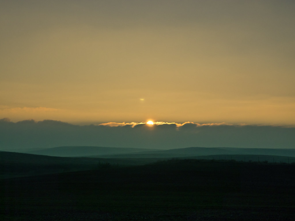
写真

"G Street"
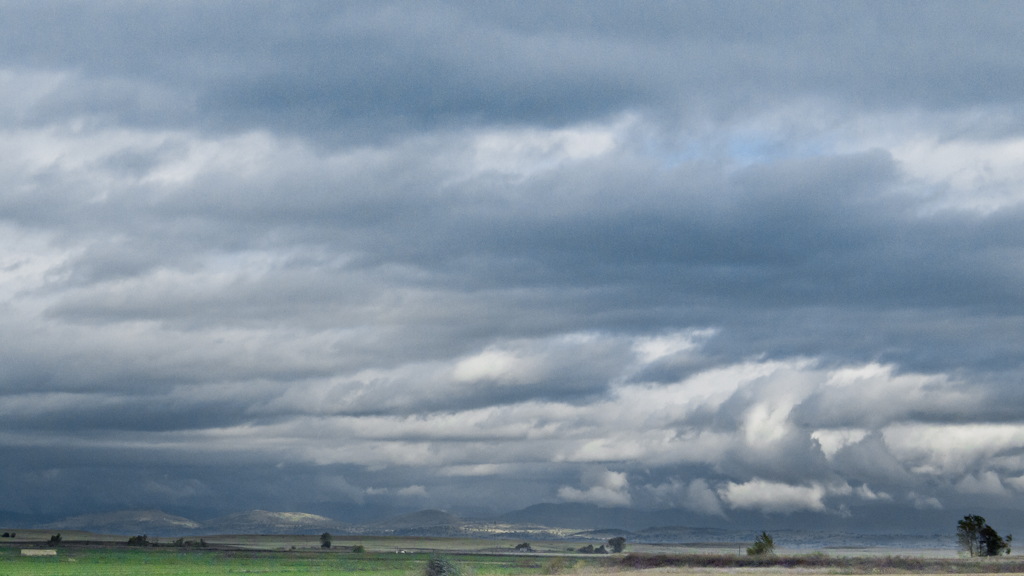
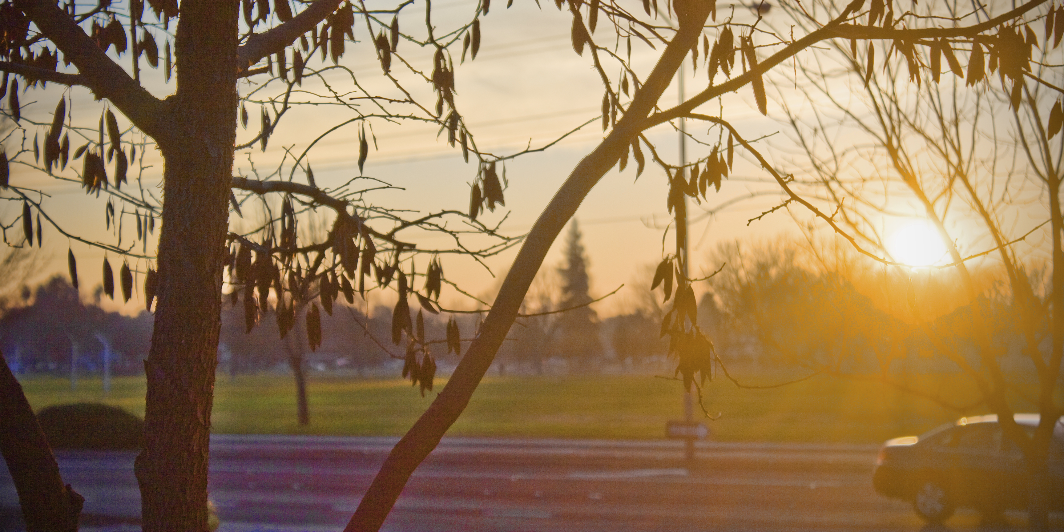
Sunset in the Valley
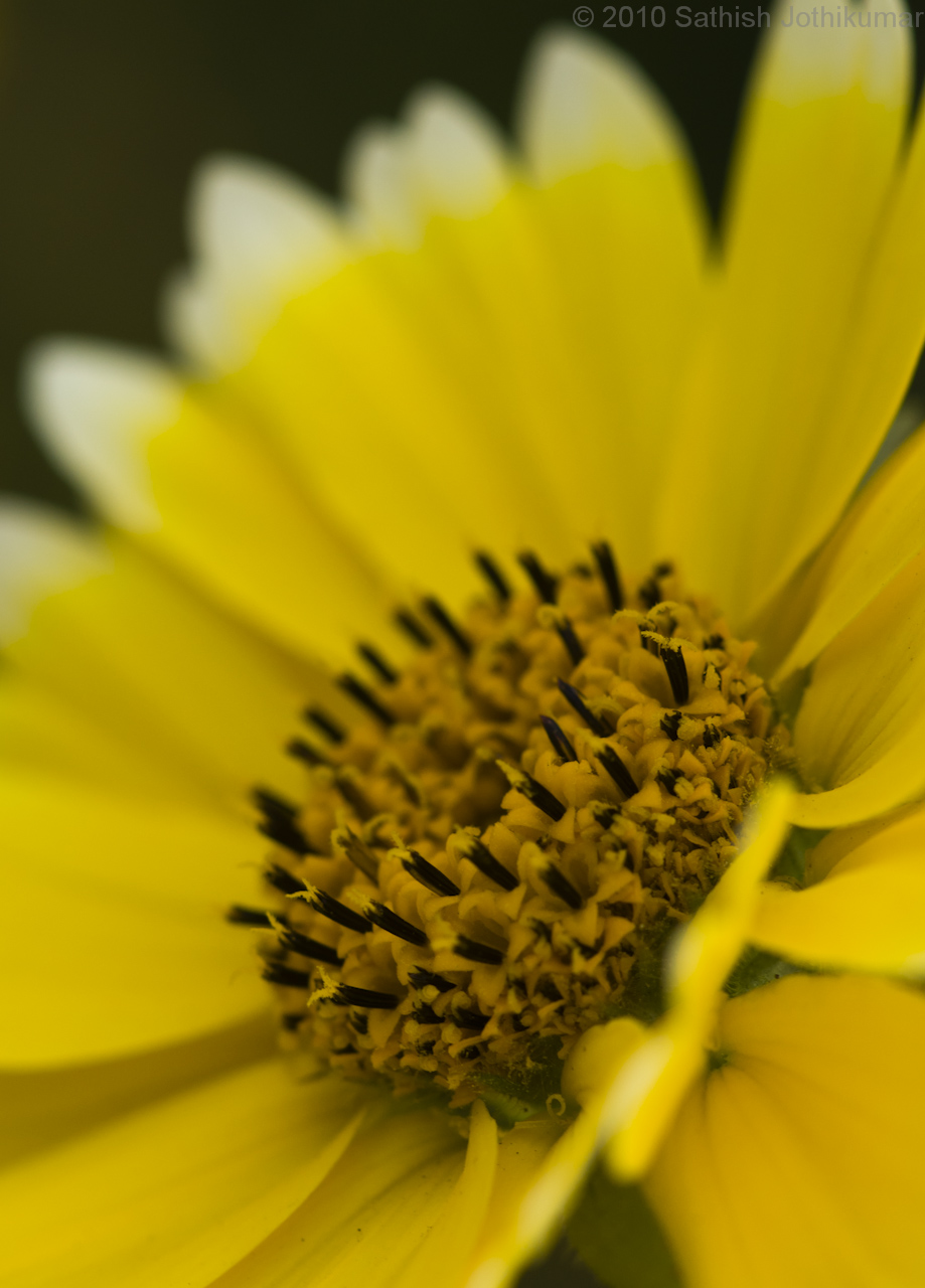
Tidytips along Highway 99

Belt of Venus, Earth Shadow, Sierra Foothills, Wheat Field (wheatfield study 2)
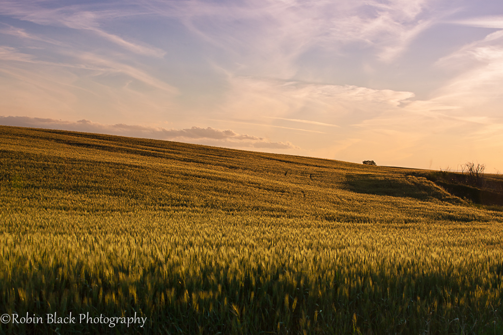
Evening Light on Ripened Wheat, Sierra Foothills
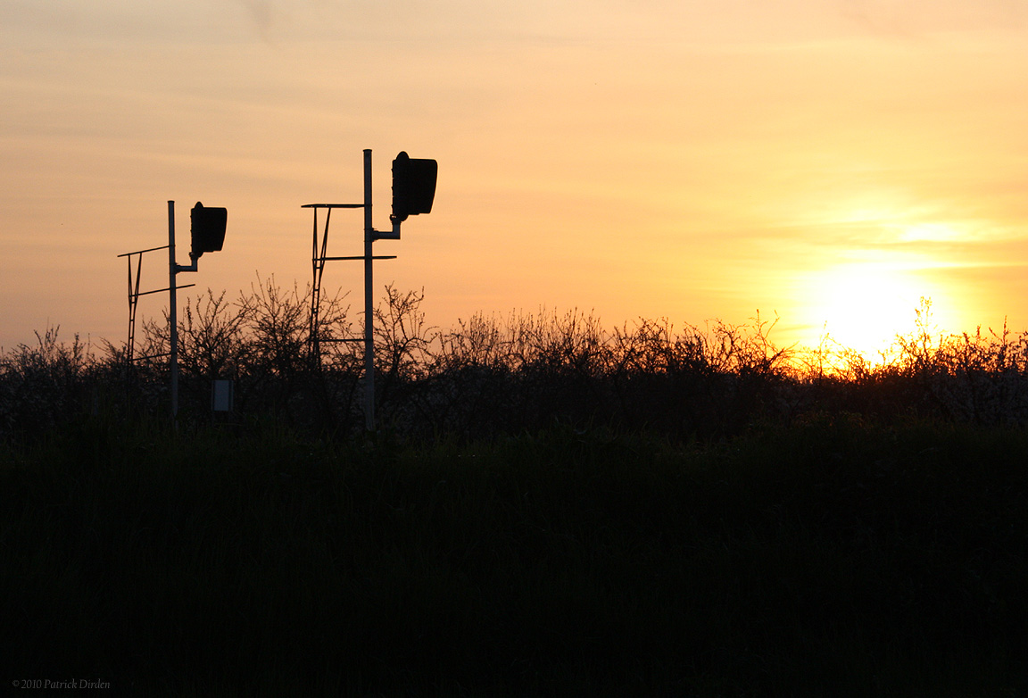
Last Sunset of 2011
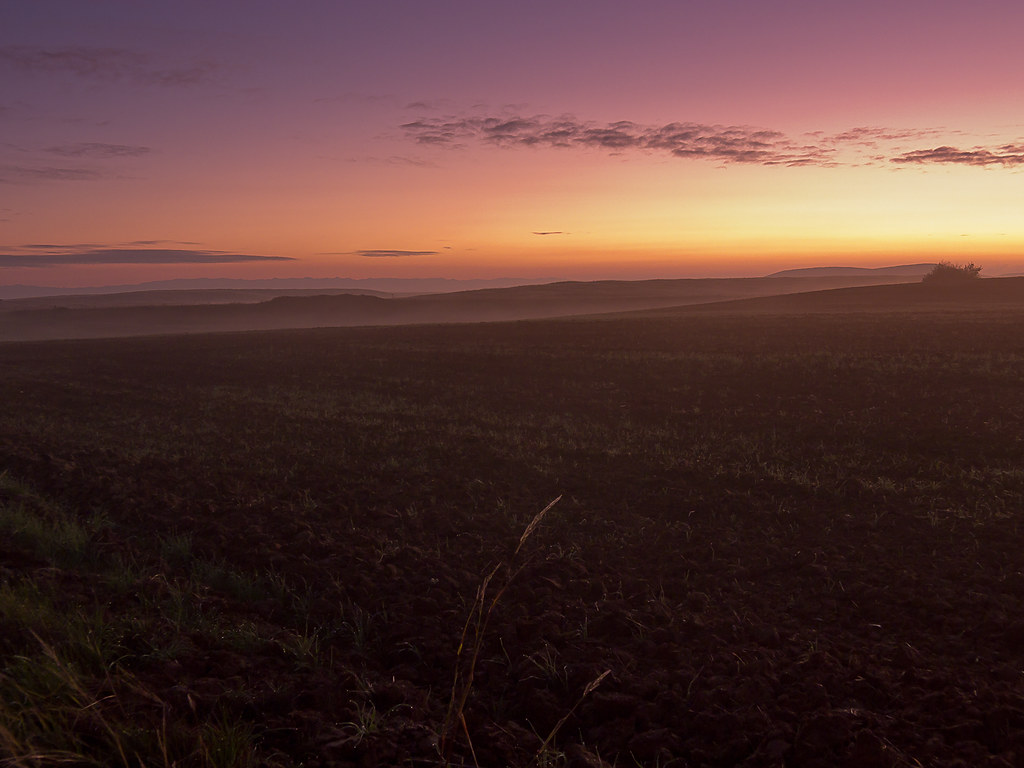
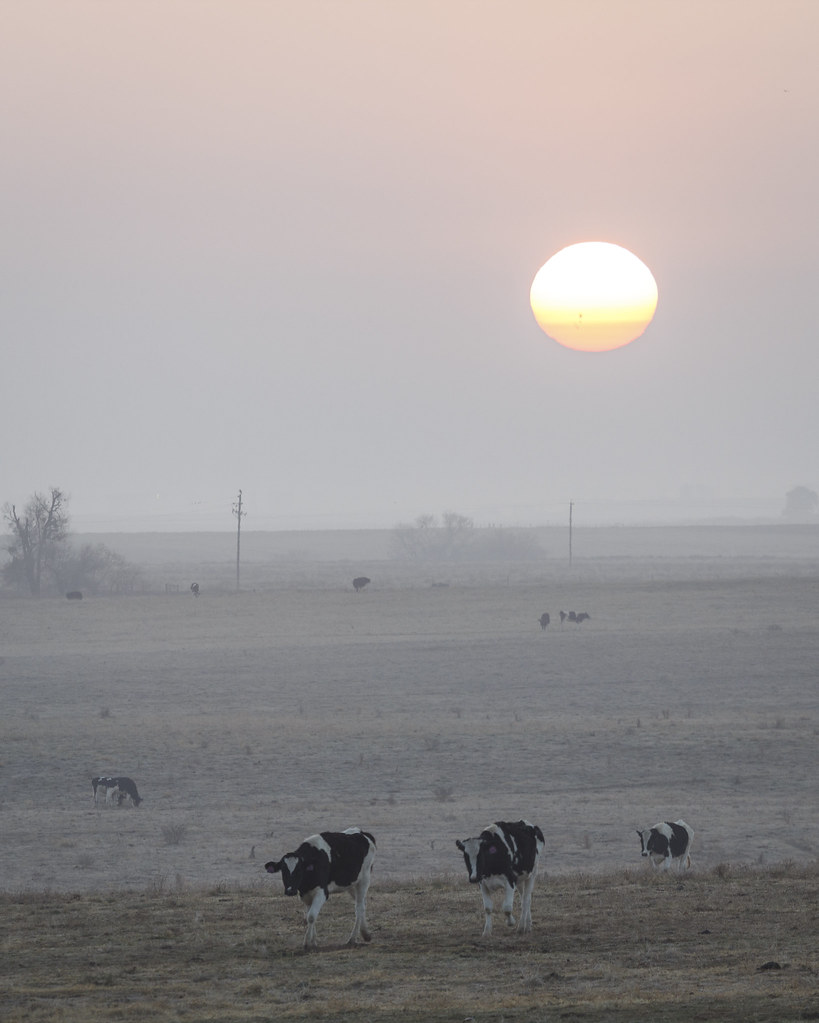
Sunrise #2, Robinson Ranch
Robinson Ranch View to Yosemite

2013-10-09 18.11.46 HDR
Riding off into the sunset...
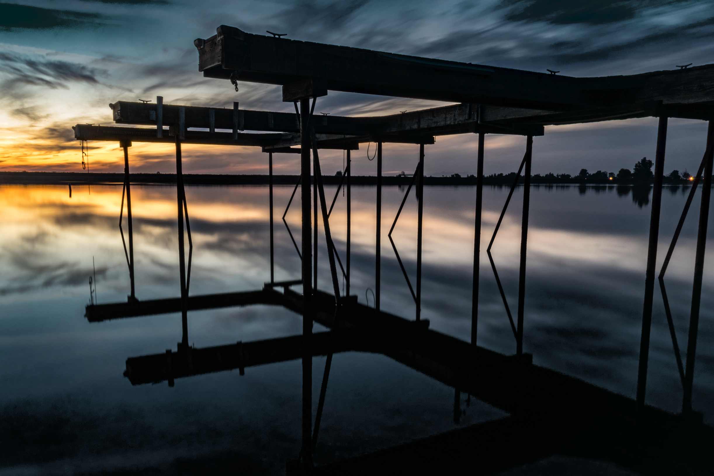
Lake Pier

Merced County Fair
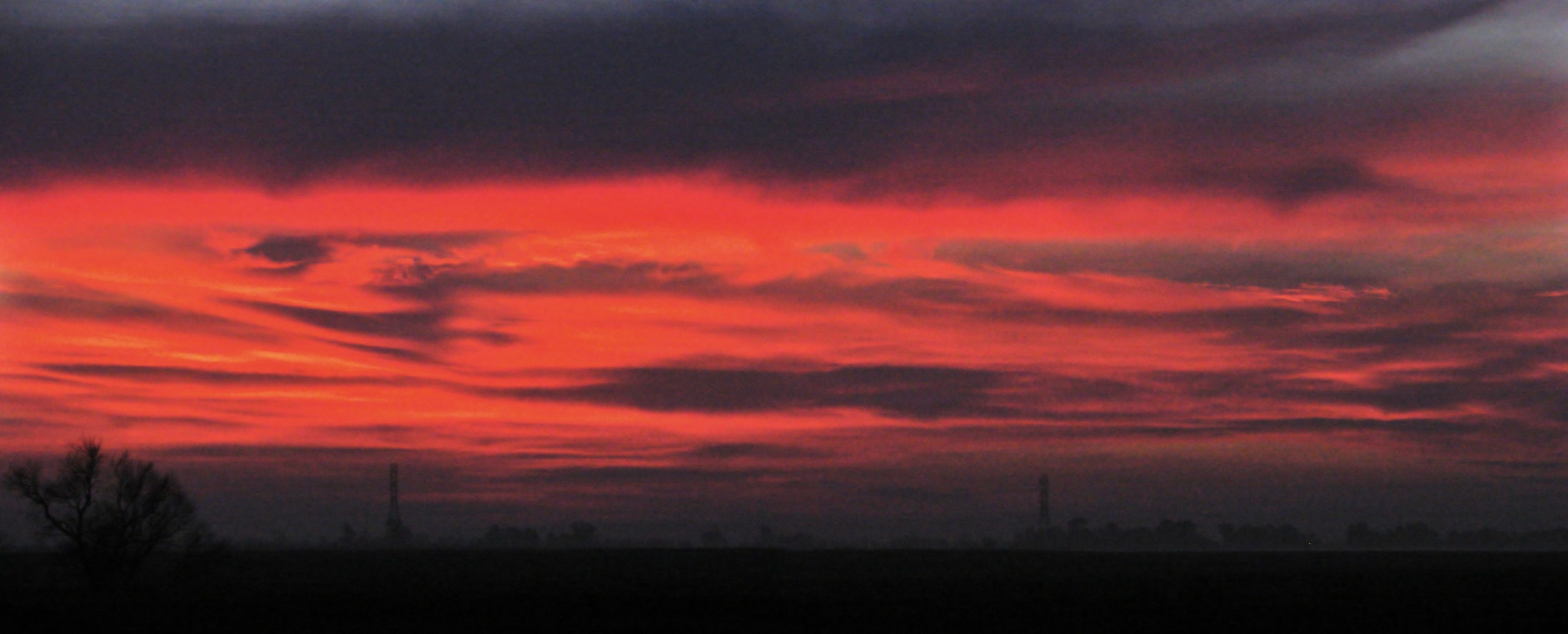
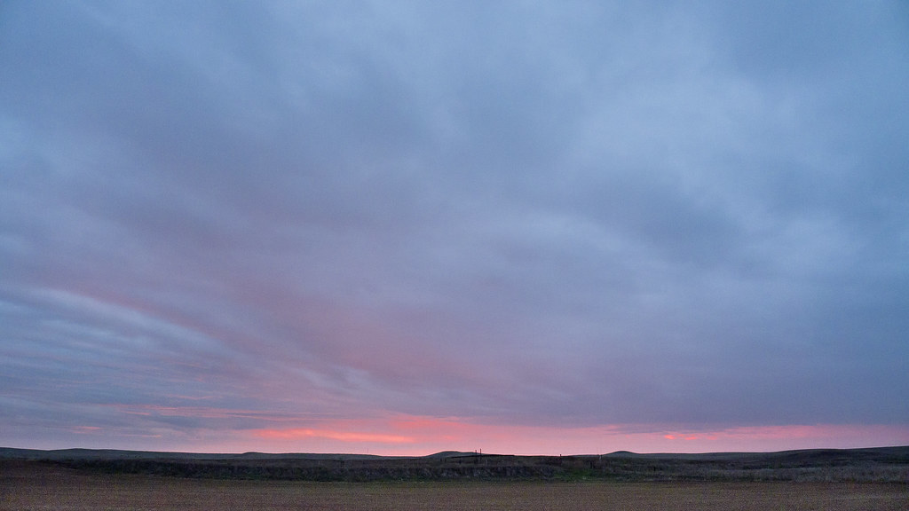
Winter Sunset
The sunset Merced 6-22-12
Sunrise Merced 6-23-12 2
Sunrise Mer 7-23-12 1
Polluted Sunrise
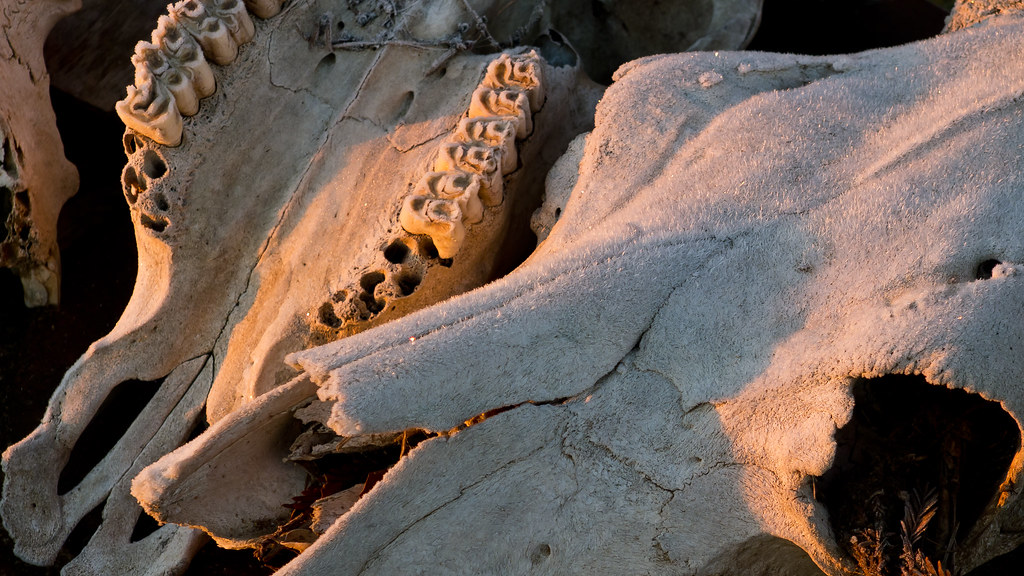
Skulls in hoarfrost #1 (1 of 1)

Sunrise Merced 6-23-12 1
#2 Sunrise at Robinson Ranch
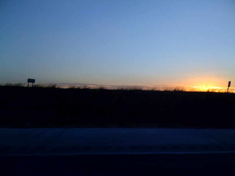
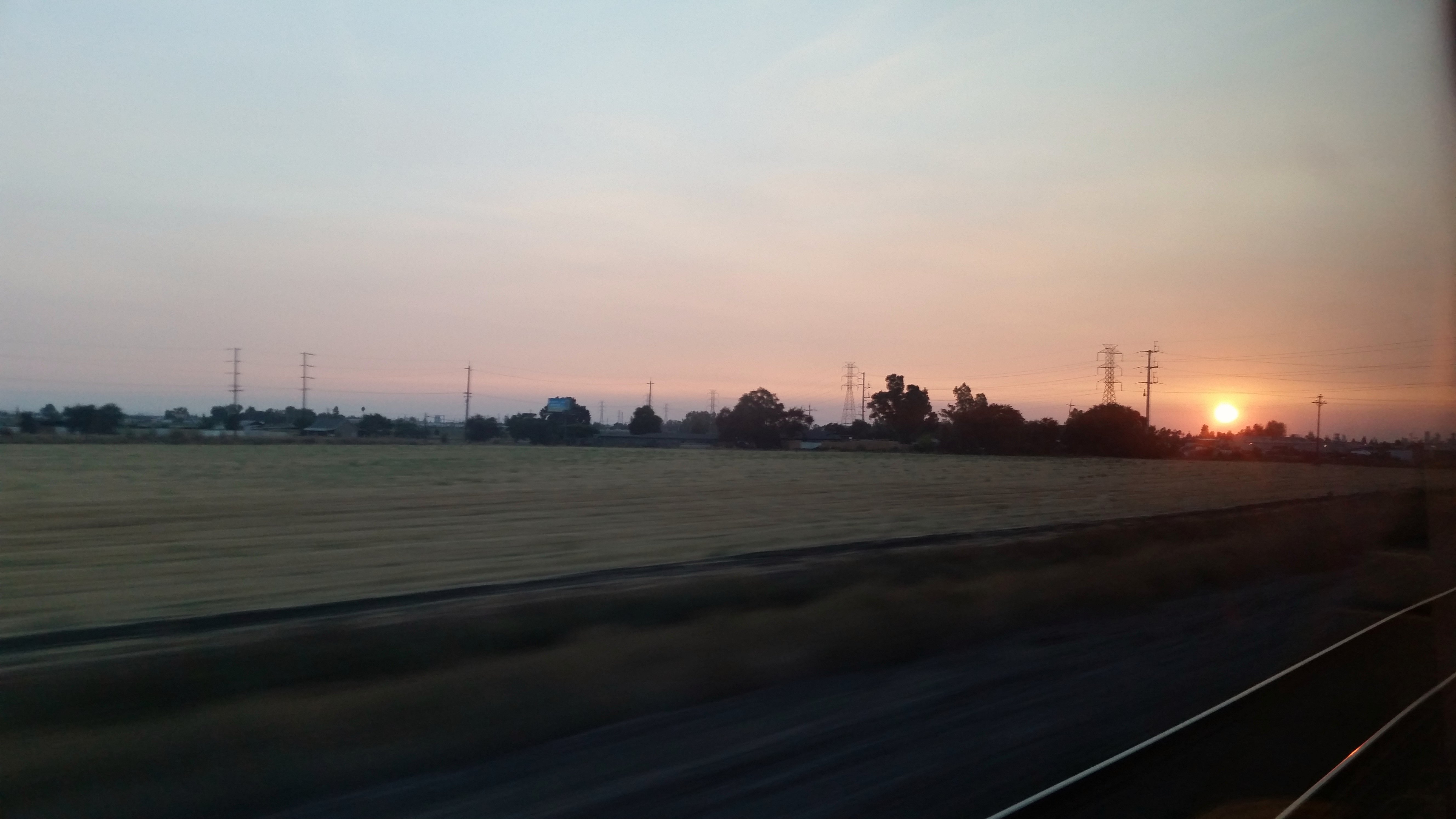
Sunrise on the 99

Sunrise Mer 7-23-12 2
Sunrise, Robinson Ranch, looking SE
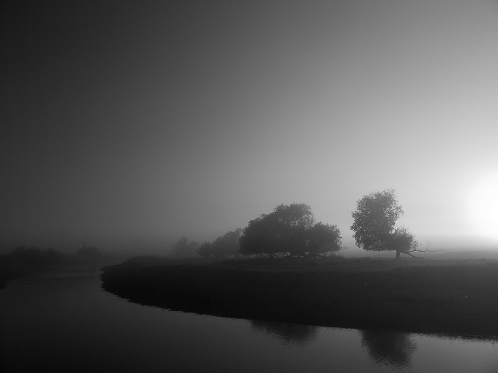
B&W Sunrise, Robinson Ranch
N Buhach Rd, Atwater, CA アメリカ合衆国の地図
別の場所を検索
近所の場所
Spruce Ave, Atwater, CA アメリカ合衆国
Third St, Atwater, CA アメリカ合衆国
アメリカ合衆国 〒 カリフォルニア州 アトウォーター
Eucalyptus Ave, Winton, CA アメリカ合衆国
アメリカ合衆国 〒 カリフォルニア州 ウィントン
アメリカ合衆国 〒 カリフォルニア州 ウィントン
N State Hwy 59, Merced, CA アメリカ合衆国
アメリカ合衆国 〒 カリフォルニア州 アムステルダム
Steinberg Rd, Atwater, CA アメリカ合衆国
Toulon Ct, Merced, CA アメリカ合衆国
Demoss Ct, Merced, CA アメリカ合衆国
N Bear Creek Dr, Merced, CA アメリカ合衆国
Olive Ave, Livingston, CA アメリカ合衆国
W Main St, Merced, CA アメリカ合衆国
アメリカ合衆国 カリフォルニア州 サン・ウォーキン川
Santa Fe Dr, Winton, CA アメリカ合衆国
アメリカ合衆国 カリフォルニア州 クレシー
アメリカ合衆国 カリフォルニア州 マーセド
Sonora Ave, Merced, CA アメリカ合衆国
Court St, Livingston, CA アメリカ合衆国
最近の検索
- アメリカ合衆国 アラスカ州 レッド・ドッグ・マイン日の出日の入り時間
- Am bhf, Borken, ドイツアム・バーンホーフ日の出日の入り時間
- 4th St E, Sonoma, CA, USA日の出日の入り時間
- Oakland Ave, Williamsport, PA アメリカ合衆国日の出日の入り時間
- Via Roma, Pieranica CR, イタリアローマ通り日の出日の入り時間
- クロアチア 〒 ドゥブロブニク GradClock Tower of Dubrovnik日の出日の入り時間
- アルゼンチン チュブ州 トレリュー日の出日の入り時間
- Hartfords Bluff Cir, Mt Pleasant, SC アメリカ合衆国日の出日の入り時間
- 日本、熊本県熊本市北区日の出日の入り時間
- 中華人民共和国 福州市 平潭県 平潭島日の出日の入り時間