カナダ 〒V0B ブリティッシュコロンビア州 イースト・クーテネイ A タックスフォード山日の出日の入り時間
Location: カナダ > ブリティッシュコロンビア州 > イースト・クートニー地域 > カナダ ブリティッシュコロンビア州 イースト・クーテネイ A >
時間帯:
America/Edmonton
現地時間:
2025-07-07 19:22:39
経度:
-114.8755555
緯度:
50.2927777
今日の日の出時刻:
05:39:23 AM
今日の日の入時刻:
09:50:04 PM
今日の日長:
16h 10m 41s
明日の日の出時刻:
05:40:21 AM
明日の日の入時刻:
09:49:24 PM
明日の日長:
16h 9m 3s
すべて表示する
| 日付 | 日出 | 日没 | 日長 |
|---|---|---|---|
| 2025年01月01日 | 08:39:00 AM | 04:48:24 PM | 8h 9m 24s |
| 2025年01月02日 | 08:38:50 AM | 04:49:29 PM | 8h 10m 39s |
| 2025年01月03日 | 08:38:36 AM | 04:50:37 PM | 8h 12m 1s |
| 2025年01月04日 | 08:38:19 AM | 04:51:47 PM | 8h 13m 28s |
| 2025年01月05日 | 08:37:59 AM | 04:53:00 PM | 8h 15m 1s |
| 2025年01月06日 | 08:37:36 AM | 04:54:14 PM | 8h 16m 38s |
| 2025年01月07日 | 08:37:10 AM | 04:55:31 PM | 8h 18m 21s |
| 2025年01月08日 | 08:36:41 AM | 04:56:50 PM | 8h 20m 9s |
| 2025年01月09日 | 08:36:09 AM | 04:58:10 PM | 8h 22m 1s |
| 2025年01月10日 | 08:35:34 AM | 04:59:33 PM | 8h 23m 59s |
| 2025年01月11日 | 08:34:56 AM | 05:00:57 PM | 8h 26m 1s |
| 2025年01月12日 | 08:34:15 AM | 05:02:23 PM | 8h 28m 8s |
| 2025年01月13日 | 08:33:31 AM | 05:03:50 PM | 8h 30m 19s |
| 2025年01月14日 | 08:32:44 AM | 05:05:19 PM | 8h 32m 35s |
| 2025年01月15日 | 08:31:55 AM | 05:06:50 PM | 8h 34m 55s |
| 2025年01月16日 | 08:31:02 AM | 05:08:21 PM | 8h 37m 19s |
| 2025年01月17日 | 08:30:07 AM | 05:09:54 PM | 8h 39m 47s |
| 2025年01月18日 | 08:29:10 AM | 05:11:28 PM | 8h 42m 18s |
| 2025年01月19日 | 08:28:09 AM | 05:13:04 PM | 8h 44m 55s |
| 2025年01月20日 | 08:27:07 AM | 05:14:40 PM | 8h 47m 33s |
| 2025年01月21日 | 08:26:01 AM | 05:16:17 PM | 8h 50m 16s |
| 2025年01月22日 | 08:24:53 AM | 05:17:56 PM | 8h 53m 3s |
| 2025年01月23日 | 08:23:43 AM | 05:19:35 PM | 8h 55m 52s |
| 2025年01月24日 | 08:22:31 AM | 05:21:15 PM | 8h 58m 44s |
| 2025年01月25日 | 08:21:16 AM | 05:22:55 PM | 9h 1m 39s |
| 2025年01月26日 | 08:19:59 AM | 05:24:36 PM | 9h 4m 37s |
| 2025年01月27日 | 08:18:40 AM | 05:26:18 PM | 9h 7m 38s |
| 2025年01月28日 | 08:17:18 AM | 05:28:00 PM | 9h 10m 42s |
| 2025年01月29日 | 08:15:55 AM | 05:29:43 PM | 9h 13m 48s |
| 2025年01月30日 | 08:14:29 AM | 05:31:26 PM | 9h 16m 57s |
| 2025年01月31日 | 08:13:02 AM | 05:33:10 PM | 9h 20m 8s |
| 2025年02月01日 | 08:11:32 AM | 05:34:54 PM | 9h 23m 22s |
| 2025年02月02日 | 08:10:01 AM | 05:36:38 PM | 9h 26m 37s |
| 2025年02月03日 | 08:08:28 AM | 05:38:22 PM | 9h 29m 54s |
| 2025年02月04日 | 08:06:53 AM | 05:40:07 PM | 9h 33m 14s |
| 2025年02月05日 | 08:05:16 AM | 05:41:51 PM | 9h 36m 35s |
| 2025年02月06日 | 08:03:38 AM | 05:43:36 PM | 9h 39m 58s |
| 2025年02月07日 | 08:01:57 AM | 05:45:21 PM | 9h 43m 24s |
| 2025年02月08日 | 08:00:16 AM | 05:47:05 PM | 9h 46m 49s |
| 2025年02月09日 | 07:58:33 AM | 05:48:50 PM | 9h 50m 17s |
| 2025年02月10日 | 07:56:48 AM | 05:50:35 PM | 9h 53m 47s |
| 2025年02月11日 | 07:55:02 AM | 05:52:19 PM | 9h 57m 17s |
| 2025年02月12日 | 07:53:14 AM | 05:54:04 PM | 10h 0m 50s |
| 2025年02月13日 | 07:51:25 AM | 05:55:48 PM | 10h 4m 23s |
| 2025年02月14日 | 07:49:35 AM | 05:57:33 PM | 10h 7m 58s |
| 2025年02月15日 | 07:47:44 AM | 05:59:17 PM | 10h 11m 33s |
| 2025年02月16日 | 07:45:51 AM | 06:01:01 PM | 10h 15m 10s |
| 2025年02月17日 | 07:43:57 AM | 06:02:44 PM | 10h 18m 47s |
| 2025年02月18日 | 07:42:02 AM | 06:04:28 PM | 10h 22m 26s |
| 2025年02月19日 | 07:40:06 AM | 06:06:11 PM | 10h 26m 5s |
| 2025年02月20日 | 07:38:09 AM | 06:07:54 PM | 10h 29m 45s |
| 2025年02月21日 | 07:36:11 AM | 06:09:37 PM | 10h 33m 26s |
| 2025年02月22日 | 07:34:12 AM | 06:11:20 PM | 10h 37m 8s |
| 2025年02月23日 | 07:32:12 AM | 06:13:02 PM | 10h 40m 50s |
| 2025年02月24日 | 07:30:11 AM | 06:14:44 PM | 10h 44m 33s |
| 2025年02月25日 | 07:28:09 AM | 06:16:26 PM | 10h 48m 17s |
| 2025年02月26日 | 07:26:06 AM | 06:18:07 PM | 10h 52m 1s |
| 2025年02月27日 | 07:24:03 AM | 06:19:48 PM | 10h 55m 45s |
| 2025年02月28日 | 07:21:59 AM | 06:21:29 PM | 10h 59m 30s |
| 2025年03月01日 | 07:19:54 AM | 06:23:10 PM | 11h 3m 16s |
| 2025年03月02日 | 07:17:48 AM | 06:24:50 PM | 11h 7m 2s |
| 2025年03月03日 | 07:15:42 AM | 06:26:30 PM | 11h 10m 48s |
| 2025年03月04日 | 07:13:35 AM | 06:28:10 PM | 11h 14m 35s |
| 2025年03月05日 | 07:11:28 AM | 06:29:50 PM | 11h 18m 22s |
| 2025年03月06日 | 07:09:20 AM | 06:31:29 PM | 11h 22m 9s |
| 2025年03月07日 | 07:07:11 AM | 06:33:08 PM | 11h 25m 57s |
| 2025年03月08日 | 07:05:02 AM | 06:34:47 PM | 11h 29m 45s |
| 2025年03月09日 | 08:02:59 AM | 07:36:21 PM | 11h 33m 22s |
| 2025年03月10日 | 08:00:49 AM | 07:37:59 PM | 11h 37m 10s |
| 2025年03月11日 | 07:58:39 AM | 07:39:37 PM | 11h 40m 58s |
| 2025年03月12日 | 07:56:28 AM | 07:41:15 PM | 11h 44m 47s |
| 2025年03月13日 | 07:54:17 AM | 07:42:53 PM | 11h 48m 36s |
| 2025年03月14日 | 07:52:06 AM | 07:44:30 PM | 11h 52m 24s |
| 2025年03月15日 | 07:49:55 AM | 07:46:08 PM | 11h 56m 13s |
| 2025年03月16日 | 07:47:44 AM | 07:47:45 PM | 12h 0m 1s |
| 2025年03月17日 | 07:45:32 AM | 07:49:21 PM | 12h 3m 49s |
| 2025年03月18日 | 07:43:20 AM | 07:50:58 PM | 12h 7m 38s |
| 2025年03月19日 | 07:41:08 AM | 07:52:35 PM | 12h 11m 27s |
| 2025年03月20日 | 07:38:56 AM | 07:54:11 PM | 12h 15m 15s |
| 2025年03月21日 | 07:36:44 AM | 07:55:47 PM | 12h 19m 3s |
| 2025年03月22日 | 07:34:32 AM | 07:57:23 PM | 12h 22m 51s |
| 2025年03月23日 | 07:32:20 AM | 07:58:59 PM | 12h 26m 39s |
| 2025年03月24日 | 07:30:08 AM | 08:00:35 PM | 12h 30m 27s |
| 2025年03月25日 | 07:27:56 AM | 08:02:11 PM | 12h 34m 15s |
| 2025年03月26日 | 07:25:44 AM | 08:03:47 PM | 12h 38m 3s |
| 2025年03月27日 | 07:23:32 AM | 08:05:22 PM | 12h 41m 50s |
| 2025年03月28日 | 07:21:21 AM | 08:06:58 PM | 12h 45m 37s |
| 2025年03月29日 | 07:19:09 AM | 08:08:33 PM | 12h 49m 24s |
| 2025年03月30日 | 07:16:58 AM | 08:10:09 PM | 12h 53m 11s |
| 2025年03月31日 | 07:14:47 AM | 08:11:44 PM | 12h 56m 57s |
| 2025年04月01日 | 07:12:36 AM | 08:13:20 PM | 13h 0m 44s |
| 2025年04月02日 | 07:10:26 AM | 08:14:55 PM | 13h 4m 29s |
| 2025年04月03日 | 07:08:16 AM | 08:16:30 PM | 13h 8m 14s |
| 2025年04月04日 | 07:06:06 AM | 08:18:05 PM | 13h 11m 59s |
| 2025年04月05日 | 07:03:57 AM | 08:19:41 PM | 13h 15m 44s |
| 2025年04月06日 | 07:01:48 AM | 08:21:16 PM | 13h 19m 28s |
| 2025年04月07日 | 06:59:40 AM | 08:22:51 PM | 13h 23m 11s |
| 2025年04月08日 | 06:57:32 AM | 08:24:26 PM | 13h 26m 54s |
| 2025年04月09日 | 06:55:25 AM | 08:26:01 PM | 13h 30m 36s |
| 2025年04月10日 | 06:53:18 AM | 08:27:37 PM | 13h 34m 19s |
| 2025年04月11日 | 06:51:12 AM | 08:29:12 PM | 13h 38m 0s |
| 2025年04月12日 | 06:49:06 AM | 08:30:47 PM | 13h 41m 41s |
| 2025年04月13日 | 06:47:01 AM | 08:32:22 PM | 13h 45m 21s |
| 2025年04月14日 | 06:44:57 AM | 08:33:57 PM | 13h 49m 0s |
| 2025年04月15日 | 06:42:54 AM | 08:35:32 PM | 13h 52m 38s |
| 2025年04月16日 | 06:40:51 AM | 08:37:07 PM | 13h 56m 16s |
| 2025年04月17日 | 06:38:50 AM | 08:38:42 PM | 13h 59m 52s |
| 2025年04月18日 | 06:36:49 AM | 08:40:17 PM | 14h 3m 28s |
| 2025年04月19日 | 06:34:49 AM | 08:41:52 PM | 14h 7m 3s |
| 2025年04月20日 | 06:32:50 AM | 08:43:27 PM | 14h 10m 37s |
| 2025年04月21日 | 06:30:52 AM | 08:45:02 PM | 14h 14m 10s |
| 2025年04月22日 | 06:28:55 AM | 08:46:37 PM | 14h 17m 42s |
| 2025年04月23日 | 06:26:58 AM | 08:48:11 PM | 14h 21m 13s |
| 2025年04月24日 | 06:25:03 AM | 08:49:46 PM | 14h 24m 43s |
| 2025年04月25日 | 06:23:10 AM | 08:51:20 PM | 14h 28m 10s |
| 2025年04月26日 | 06:21:17 AM | 08:52:54 PM | 14h 31m 37s |
| 2025年04月27日 | 06:19:25 AM | 08:54:28 PM | 14h 35m 3s |
| 2025年04月28日 | 06:17:35 AM | 08:56:02 PM | 14h 38m 27s |
| 2025年04月29日 | 06:15:46 AM | 08:57:35 PM | 14h 41m 49s |
| 2025年04月30日 | 06:13:59 AM | 08:59:09 PM | 14h 45m 10s |
| 2025年05月01日 | 06:12:12 AM | 09:00:42 PM | 14h 48m 30s |
| 2025年05月02日 | 06:10:28 AM | 09:02:14 PM | 14h 51m 46s |
| 2025年05月03日 | 06:08:44 AM | 09:03:47 PM | 14h 55m 3s |
| 2025年05月04日 | 06:07:02 AM | 09:05:18 PM | 14h 58m 16s |
| 2025年05月05日 | 06:05:22 AM | 09:06:50 PM | 15h 1m 28s |
| 2025年05月06日 | 06:03:43 AM | 09:08:21 PM | 15h 4m 38s |
| 2025年05月07日 | 06:02:06 AM | 09:09:51 PM | 15h 7m 45s |
| 2025年05月08日 | 06:00:31 AM | 09:11:21 PM | 15h 10m 50s |
| 2025年05月09日 | 05:58:57 AM | 09:12:51 PM | 15h 13m 54s |
| 2025年05月10日 | 05:57:26 AM | 09:14:19 PM | 15h 16m 53s |
| 2025年05月11日 | 05:55:56 AM | 09:15:47 PM | 15h 19m 51s |
| 2025年05月12日 | 05:54:27 AM | 09:17:15 PM | 15h 22m 48s |
| 2025年05月13日 | 05:53:01 AM | 09:18:41 PM | 15h 25m 40s |
| 2025年05月14日 | 05:51:37 AM | 09:20:07 PM | 15h 28m 30s |
| 2025年05月15日 | 05:50:15 AM | 09:21:32 PM | 15h 31m 17s |
| 2025年05月16日 | 05:48:54 AM | 09:22:56 PM | 15h 34m 2s |
| 2025年05月17日 | 05:47:36 AM | 09:24:18 PM | 15h 36m 42s |
| 2025年05月18日 | 05:46:20 AM | 09:25:40 PM | 15h 39m 20s |
| 2025年05月19日 | 05:45:07 AM | 09:27:01 PM | 15h 41m 54s |
| 2025年05月20日 | 05:43:55 AM | 09:28:21 PM | 15h 44m 26s |
| 2025年05月21日 | 05:42:46 AM | 09:29:39 PM | 15h 46m 53s |
| 2025年05月22日 | 05:41:39 AM | 09:30:56 PM | 15h 49m 17s |
| 2025年05月23日 | 05:40:34 AM | 09:32:12 PM | 15h 51m 38s |
| 2025年05月24日 | 05:39:32 AM | 09:33:26 PM | 15h 53m 54s |
| 2025年05月25日 | 05:38:33 AM | 09:34:39 PM | 15h 56m 6s |
| 2025年05月26日 | 05:37:35 AM | 09:35:50 PM | 15h 58m 15s |
| 2025年05月27日 | 05:36:41 AM | 09:36:59 PM | 16h 0m 18s |
| 2025年05月28日 | 05:35:49 AM | 09:38:07 PM | 16h 2m 18s |
| 2025年05月29日 | 05:34:59 AM | 09:39:13 PM | 16h 4m 14s |
| 2025年05月30日 | 05:34:13 AM | 09:40:18 PM | 16h 6m 5s |
| 2025年05月31日 | 05:33:29 AM | 09:41:20 PM | 16h 7m 51s |
| 2025年06月01日 | 05:32:47 AM | 09:42:21 PM | 16h 9m 34s |
| 2025年06月02日 | 05:32:09 AM | 09:43:19 PM | 16h 11m 10s |
| 2025年06月03日 | 05:31:33 AM | 09:44:16 PM | 16h 12m 43s |
| 2025年06月04日 | 05:31:00 AM | 09:45:10 PM | 16h 14m 10s |
| 2025年06月05日 | 05:30:29 AM | 09:46:02 PM | 16h 15m 33s |
| 2025年06月06日 | 05:30:02 AM | 09:46:52 PM | 16h 16m 50s |
| 2025年06月07日 | 05:29:38 AM | 09:47:40 PM | 16h 18m 2s |
| 2025年06月08日 | 05:29:16 AM | 09:48:25 PM | 16h 19m 9s |
| 2025年06月09日 | 05:28:57 AM | 09:49:08 PM | 16h 20m 11s |
| 2025年06月10日 | 05:28:41 AM | 09:49:48 PM | 16h 21m 7s |
| 2025年06月11日 | 05:28:28 AM | 09:50:26 PM | 16h 21m 58s |
| 2025年06月12日 | 05:28:18 AM | 09:51:01 PM | 16h 22m 43s |
| 2025年06月13日 | 05:28:11 AM | 09:51:33 PM | 16h 23m 22s |
| 2025年06月14日 | 05:28:07 AM | 09:52:03 PM | 16h 23m 56s |
| 2025年06月15日 | 05:28:05 AM | 09:52:31 PM | 16h 24m 26s |
| 2025年06月16日 | 05:28:07 AM | 09:52:55 PM | 16h 24m 48s |
| 2025年06月17日 | 05:28:11 AM | 09:53:17 PM | 16h 25m 6s |
| 2025年06月18日 | 05:28:19 AM | 09:53:35 PM | 16h 25m 16s |
| 2025年06月19日 | 05:28:29 AM | 09:53:52 PM | 16h 25m 23s |
| 2025年06月20日 | 05:28:42 AM | 09:54:05 PM | 16h 25m 23s |
| 2025年06月21日 | 05:28:58 AM | 09:54:15 PM | 16h 25m 17s |
| 2025年06月22日 | 05:29:16 AM | 09:54:22 PM | 16h 25m 6s |
| 2025年06月23日 | 05:29:38 AM | 09:54:27 PM | 16h 24m 49s |
| 2025年06月24日 | 05:30:02 AM | 09:54:28 PM | 16h 24m 26s |
| 2025年06月25日 | 05:30:28 AM | 09:54:27 PM | 16h 23m 59s |
| 2025年06月26日 | 05:30:58 AM | 09:54:22 PM | 16h 23m 24s |
| 2025年06月27日 | 05:31:29 AM | 09:54:15 PM | 16h 22m 46s |
| 2025年06月28日 | 05:32:04 AM | 09:54:05 PM | 16h 22m 1s |
| 2025年06月29日 | 05:32:41 AM | 09:53:51 PM | 16h 21m 10s |
| 2025年06月30日 | 05:33:20 AM | 09:53:35 PM | 16h 20m 15s |
| 2025年07月01日 | 05:34:02 AM | 09:53:16 PM | 16h 19m 14s |
| 2025年07月02日 | 05:34:46 AM | 09:52:54 PM | 16h 18m 8s |
| 2025年07月03日 | 05:35:33 AM | 09:52:29 PM | 16h 16m 56s |
| 2025年07月04日 | 05:36:21 AM | 09:52:01 PM | 16h 15m 40s |
| 2025年07月05日 | 05:37:12 AM | 09:51:30 PM | 16h 14m 18s |
| 2025年07月06日 | 05:38:05 AM | 09:50:57 PM | 16h 12m 52s |
| 2025年07月07日 | 05:39:00 AM | 09:50:20 PM | 16h 11m 20s |
| 2025年07月08日 | 05:39:57 AM | 09:49:41 PM | 16h 9m 44s |
| 2025年07月09日 | 05:40:56 AM | 09:48:59 PM | 16h 8m 3s |
| 2025年07月10日 | 05:41:56 AM | 09:48:14 PM | 16h 6m 18s |
| 2025年07月11日 | 05:42:59 AM | 09:47:27 PM | 16h 4m 28s |
| 2025年07月12日 | 05:44:03 AM | 09:46:37 PM | 16h 2m 34s |
| 2025年07月13日 | 05:45:09 AM | 09:45:44 PM | 16h 0m 35s |
| 2025年07月14日 | 05:46:17 AM | 09:44:48 PM | 15h 58m 31s |
| 2025年07月15日 | 05:47:26 AM | 09:43:50 PM | 15h 56m 24s |
| 2025年07月16日 | 05:48:36 AM | 09:42:50 PM | 15h 54m 14s |
| 2025年07月17日 | 05:49:48 AM | 09:41:47 PM | 15h 51m 59s |
| 2025年07月18日 | 05:51:01 AM | 09:40:42 PM | 15h 49m 41s |
| 2025年07月19日 | 05:52:16 AM | 09:39:34 PM | 15h 47m 18s |
| 2025年07月20日 | 05:53:32 AM | 09:38:24 PM | 15h 44m 52s |
| 2025年07月21日 | 05:54:49 AM | 09:37:12 PM | 15h 42m 23s |
| 2025年07月22日 | 05:56:07 AM | 09:35:57 PM | 15h 39m 50s |
| 2025年07月23日 | 05:57:26 AM | 09:34:40 PM | 15h 37m 14s |
| 2025年07月24日 | 05:58:46 AM | 09:33:21 PM | 15h 34m 35s |
| 2025年07月25日 | 06:00:07 AM | 09:32:00 PM | 15h 31m 53s |
| 2025年07月26日 | 06:01:28 AM | 09:30:37 PM | 15h 29m 9s |
| 2025年07月27日 | 06:02:51 AM | 09:29:12 PM | 15h 26m 21s |
| 2025年07月28日 | 06:04:14 AM | 09:27:45 PM | 15h 23m 31s |
| 2025年07月29日 | 06:05:38 AM | 09:26:15 PM | 15h 20m 37s |
| 2025年07月30日 | 06:07:03 AM | 09:24:45 PM | 15h 17m 42s |
| 2025年07月31日 | 06:08:28 AM | 09:23:12 PM | 15h 14m 44s |
| 2025年08月01日 | 06:09:54 AM | 09:21:37 PM | 15h 11m 43s |
| 2025年08月02日 | 06:11:21 AM | 09:20:01 PM | 15h 8m 40s |
| 2025年08月03日 | 06:12:48 AM | 09:18:23 PM | 15h 5m 35s |
| 2025年08月04日 | 06:14:15 AM | 09:16:43 PM | 15h 2m 28s |
| 2025年08月05日 | 06:15:43 AM | 09:15:02 PM | 14h 59m 19s |
| 2025年08月06日 | 06:17:11 AM | 09:13:19 PM | 14h 56m 8s |
| 2025年08月07日 | 06:18:40 AM | 09:11:35 PM | 14h 52m 55s |
| 2025年08月08日 | 06:20:08 AM | 09:09:49 PM | 14h 49m 41s |
| 2025年08月09日 | 06:21:37 AM | 09:08:02 PM | 14h 46m 25s |
| 2025年08月10日 | 06:23:07 AM | 09:06:13 PM | 14h 43m 6s |
| 2025年08月11日 | 06:24:36 AM | 09:04:23 PM | 14h 39m 47s |
| 2025年08月12日 | 06:26:06 AM | 09:02:32 PM | 14h 36m 26s |
| 2025年08月13日 | 06:27:36 AM | 09:00:40 PM | 14h 33m 4s |
| 2025年08月14日 | 06:29:06 AM | 08:58:46 PM | 14h 29m 40s |
| 2025年08月15日 | 06:30:36 AM | 08:56:51 PM | 14h 26m 15s |
| 2025年08月16日 | 06:32:06 AM | 08:54:55 PM | 14h 22m 49s |
| 2025年08月17日 | 06:33:36 AM | 08:52:58 PM | 14h 19m 22s |
| 2025年08月18日 | 06:35:07 AM | 08:51:00 PM | 14h 15m 53s |
| 2025年08月19日 | 06:36:37 AM | 08:49:01 PM | 14h 12m 24s |
| 2025年08月20日 | 06:38:08 AM | 08:47:00 PM | 14h 8m 52s |
| 2025年08月21日 | 06:39:38 AM | 08:44:59 PM | 14h 5m 21s |
| 2025年08月22日 | 06:41:09 AM | 08:42:57 PM | 14h 1m 48s |
| 2025年08月23日 | 06:42:39 AM | 08:40:54 PM | 13h 58m 15s |
| 2025年08月24日 | 06:44:10 AM | 08:38:51 PM | 13h 54m 41s |
| 2025年08月25日 | 06:45:40 AM | 08:36:46 PM | 13h 51m 6s |
| 2025年08月26日 | 06:47:11 AM | 08:34:41 PM | 13h 47m 30s |
| 2025年08月27日 | 06:48:41 AM | 08:32:35 PM | 13h 43m 54s |
| 2025年08月28日 | 06:50:12 AM | 08:30:28 PM | 13h 40m 16s |
| 2025年08月29日 | 06:51:42 AM | 08:28:21 PM | 13h 36m 39s |
| 2025年08月30日 | 06:53:13 AM | 08:26:13 PM | 13h 33m 0s |
| 2025年08月31日 | 06:54:43 AM | 08:24:05 PM | 13h 29m 22s |
| 2025年09月01日 | 06:56:13 AM | 08:21:56 PM | 13h 25m 43s |
| 2025年09月02日 | 06:57:44 AM | 08:19:46 PM | 13h 22m 2s |
| 2025年09月03日 | 06:59:14 AM | 08:17:36 PM | 13h 18m 22s |
| 2025年09月04日 | 07:00:44 AM | 08:15:26 PM | 13h 14m 42s |
| 2025年09月05日 | 07:02:15 AM | 08:13:15 PM | 13h 11m 0s |
| 2025年09月06日 | 07:03:45 AM | 08:11:03 PM | 13h 7m 18s |
| 2025年09月07日 | 07:05:15 AM | 08:08:52 PM | 13h 3m 37s |
| 2025年09月08日 | 07:06:46 AM | 08:06:39 PM | 12h 59m 53s |
| 2025年09月09日 | 07:08:16 AM | 08:04:27 PM | 12h 56m 11s |
| 2025年09月10日 | 07:09:47 AM | 08:02:14 PM | 12h 52m 27s |
| 2025年09月11日 | 07:11:17 AM | 08:00:02 PM | 12h 48m 45s |
| 2025年09月12日 | 07:12:47 AM | 07:57:49 PM | 12h 45m 2s |
| 2025年09月13日 | 07:14:18 AM | 07:55:35 PM | 12h 41m 17s |
| 2025年09月14日 | 07:15:48 AM | 07:53:22 PM | 12h 37m 34s |
| 2025年09月15日 | 07:17:19 AM | 07:51:08 PM | 12h 33m 49s |
| 2025年09月16日 | 07:18:50 AM | 07:48:55 PM | 12h 30m 5s |
| 2025年09月17日 | 07:20:21 AM | 07:46:41 PM | 12h 26m 20s |
| 2025年09月18日 | 07:21:52 AM | 07:44:27 PM | 12h 22m 35s |
| 2025年09月19日 | 07:23:23 AM | 07:42:14 PM | 12h 18m 51s |
| 2025年09月20日 | 07:24:54 AM | 07:40:00 PM | 12h 15m 6s |
| 2025年09月21日 | 07:26:25 AM | 07:37:46 PM | 12h 11m 21s |
| 2025年09月22日 | 07:27:56 AM | 07:35:33 PM | 12h 7m 37s |
| 2025年09月23日 | 07:29:28 AM | 07:33:19 PM | 12h 3m 51s |
| 2025年09月24日 | 07:31:00 AM | 07:31:06 PM | 12h 0m 6s |
| 2025年09月25日 | 07:32:32 AM | 07:28:53 PM | 11h 56m 21s |
| 2025年09月26日 | 07:34:04 AM | 07:26:40 PM | 11h 52m 36s |
| 2025年09月27日 | 07:35:36 AM | 07:24:27 PM | 11h 48m 51s |
| 2025年09月28日 | 07:37:09 AM | 07:22:15 PM | 11h 45m 6s |
| 2025年09月29日 | 07:38:41 AM | 07:20:03 PM | 11h 41m 22s |
| 2025年09月30日 | 07:40:14 AM | 07:17:51 PM | 11h 37m 37s |
| 2025年10月01日 | 07:41:47 AM | 07:15:40 PM | 11h 33m 53s |
| 2025年10月02日 | 07:43:21 AM | 07:13:29 PM | 11h 30m 8s |
| 2025年10月03日 | 07:44:55 AM | 07:11:18 PM | 11h 26m 23s |
| 2025年10月04日 | 07:46:29 AM | 07:09:08 PM | 11h 22m 39s |
| 2025年10月05日 | 07:48:03 AM | 07:06:59 PM | 11h 18m 56s |
| 2025年10月06日 | 07:49:37 AM | 07:04:49 PM | 11h 15m 12s |
| 2025年10月07日 | 07:51:12 AM | 07:02:41 PM | 11h 11m 29s |
| 2025年10月08日 | 07:52:47 AM | 07:00:33 PM | 11h 7m 46s |
| 2025年10月09日 | 07:54:23 AM | 06:58:26 PM | 11h 4m 3s |
| 2025年10月10日 | 07:55:58 AM | 06:56:19 PM | 11h 0m 21s |
| 2025年10月11日 | 07:57:34 AM | 06:54:13 PM | 10h 56m 39s |
| 2025年10月12日 | 07:59:10 AM | 06:52:08 PM | 10h 52m 58s |
| 2025年10月13日 | 08:00:47 AM | 06:50:03 PM | 10h 49m 16s |
| 2025年10月14日 | 08:02:24 AM | 06:48:00 PM | 10h 45m 36s |
| 2025年10月15日 | 08:04:01 AM | 06:45:57 PM | 10h 41m 56s |
| 2025年10月16日 | 08:05:39 AM | 06:43:55 PM | 10h 38m 16s |
| 2025年10月17日 | 08:07:16 AM | 06:41:54 PM | 10h 34m 38s |
| 2025年10月18日 | 08:08:54 AM | 06:39:54 PM | 10h 31m 0s |
| 2025年10月19日 | 08:10:33 AM | 06:37:55 PM | 10h 27m 22s |
| 2025年10月20日 | 08:12:11 AM | 06:35:56 PM | 10h 23m 45s |
| 2025年10月21日 | 08:13:50 AM | 06:33:59 PM | 10h 20m 9s |
| 2025年10月22日 | 08:15:29 AM | 06:32:03 PM | 10h 16m 34s |
| 2025年10月23日 | 08:17:09 AM | 06:30:09 PM | 10h 13m 0s |
| 2025年10月24日 | 08:18:48 AM | 06:28:15 PM | 10h 9m 27s |
| 2025年10月25日 | 08:20:28 AM | 06:26:23 PM | 10h 5m 55s |
| 2025年10月26日 | 08:22:08 AM | 06:24:32 PM | 10h 2m 24s |
| 2025年10月27日 | 08:23:49 AM | 06:22:42 PM | 9h 58m 53s |
| 2025年10月28日 | 08:25:29 AM | 06:20:54 PM | 9h 55m 25s |
| 2025年10月29日 | 08:27:09 AM | 06:19:07 PM | 9h 51m 58s |
| 2025年10月30日 | 08:28:50 AM | 06:17:21 PM | 9h 48m 31s |
| 2025年10月31日 | 08:30:31 AM | 06:15:37 PM | 9h 45m 6s |
| 2025年11月01日 | 08:32:12 AM | 06:13:55 PM | 9h 41m 43s |
| 2025年11月02日 | 07:33:57 AM | 05:12:10 PM | 9h 38m 13s |
| 2025年11月03日 | 07:35:37 AM | 05:10:31 PM | 9h 34m 54s |
| 2025年11月04日 | 07:37:18 AM | 05:08:53 PM | 9h 31m 35s |
| 2025年11月05日 | 07:38:59 AM | 05:07:18 PM | 9h 28m 19s |
| 2025年11月06日 | 07:40:39 AM | 05:05:44 PM | 9h 25m 5s |
| 2025年11月07日 | 07:42:20 AM | 05:04:12 PM | 9h 21m 52s |
| 2025年11月08日 | 07:44:00 AM | 05:02:41 PM | 9h 18m 41s |
| 2025年11月09日 | 07:45:40 AM | 05:01:13 PM | 9h 15m 33s |
| 2025年11月10日 | 07:47:19 AM | 04:59:47 PM | 9h 12m 28s |
| 2025年11月11日 | 07:48:59 AM | 04:58:23 PM | 9h 9m 24s |
| 2025年11月12日 | 07:50:37 AM | 04:57:01 PM | 9h 6m 24s |
| 2025年11月13日 | 07:52:16 AM | 04:55:41 PM | 9h 3m 25s |
| 2025年11月14日 | 07:53:54 AM | 04:54:23 PM | 9h 0m 29s |
| 2025年11月15日 | 07:55:31 AM | 04:53:08 PM | 8h 57m 37s |
| 2025年11月16日 | 07:57:08 AM | 04:51:55 PM | 8h 54m 47s |
| 2025年11月17日 | 07:58:43 AM | 04:50:44 PM | 8h 52m 1s |
| 2025年11月18日 | 08:00:19 AM | 04:49:36 PM | 8h 49m 17s |
| 2025年11月19日 | 08:01:53 AM | 04:48:30 PM | 8h 46m 37s |
| 2025年11月20日 | 08:03:26 AM | 04:47:27 PM | 8h 44m 1s |
| 2025年11月21日 | 08:04:59 AM | 04:46:26 PM | 8h 41m 27s |
| 2025年11月22日 | 08:06:30 AM | 04:45:28 PM | 8h 38m 58s |
| 2025年11月23日 | 08:08:00 AM | 04:44:33 PM | 8h 36m 33s |
| 2025年11月24日 | 08:09:29 AM | 04:43:40 PM | 8h 34m 11s |
| 2025年11月25日 | 08:10:57 AM | 04:42:50 PM | 8h 31m 53s |
| 2025年11月26日 | 08:12:24 AM | 04:42:03 PM | 8h 29m 39s |
| 2025年11月27日 | 08:13:49 AM | 04:41:19 PM | 8h 27m 30s |
| 2025年11月28日 | 08:15:12 AM | 04:40:37 PM | 8h 25m 25s |
| 2025年11月29日 | 08:16:34 AM | 04:39:59 PM | 8h 23m 25s |
| 2025年11月30日 | 08:17:54 AM | 04:39:24 PM | 8h 21m 30s |
| 2025年12月01日 | 08:19:13 AM | 04:38:51 PM | 8h 19m 38s |
| 2025年12月02日 | 08:20:29 AM | 04:38:22 PM | 8h 17m 53s |
| 2025年12月03日 | 08:21:44 AM | 04:37:56 PM | 8h 16m 12s |
| 2025年12月04日 | 08:22:56 AM | 04:37:32 PM | 8h 14m 36s |
| 2025年12月05日 | 08:24:07 AM | 04:37:12 PM | 8h 13m 5s |
| 2025年12月06日 | 08:25:16 AM | 04:36:56 PM | 8h 11m 40s |
| 2025年12月07日 | 08:26:22 AM | 04:36:42 PM | 8h 10m 20s |
| 2025年12月08日 | 08:27:26 AM | 04:36:32 PM | 8h 9m 6s |
| 2025年12月09日 | 08:28:27 AM | 04:36:24 PM | 8h 7m 57s |
| 2025年12月10日 | 08:29:27 AM | 04:36:20 PM | 8h 6m 53s |
| 2025年12月11日 | 08:30:23 AM | 04:36:20 PM | 8h 5m 57s |
| 2025年12月12日 | 08:31:17 AM | 04:36:22 PM | 8h 5m 5s |
| 2025年12月13日 | 08:32:09 AM | 04:36:28 PM | 8h 4m 19s |
| 2025年12月14日 | 08:32:57 AM | 04:36:37 PM | 8h 3m 40s |
| 2025年12月15日 | 08:33:43 AM | 04:36:49 PM | 8h 3m 6s |
| 2025年12月16日 | 08:34:26 AM | 04:37:05 PM | 8h 2m 39s |
| 2025年12月17日 | 08:35:07 AM | 04:37:24 PM | 8h 2m 17s |
| 2025年12月18日 | 08:35:44 AM | 04:37:45 PM | 8h 2m 1s |
| 2025年12月19日 | 08:36:18 AM | 04:38:11 PM | 8h 1m 53s |
| 2025年12月20日 | 08:36:50 AM | 04:38:39 PM | 8h 1m 49s |
| 2025年12月21日 | 08:37:18 AM | 04:39:10 PM | 8h 1m 52s |
| 2025年12月22日 | 08:37:43 AM | 04:39:45 PM | 8h 2m 2s |
| 2025年12月23日 | 08:38:05 AM | 04:40:22 PM | 8h 2m 17s |
| 2025年12月24日 | 08:38:24 AM | 04:41:02 PM | 8h 2m 38s |
| 2025年12月25日 | 08:38:40 AM | 04:41:46 PM | 8h 3m 6s |
| 2025年12月26日 | 08:38:53 AM | 04:42:32 PM | 8h 3m 39s |
| 2025年12月27日 | 08:39:02 AM | 04:43:21 PM | 8h 4m 19s |
| 2025年12月28日 | 08:39:09 AM | 04:44:13 PM | 8h 5m 4s |
| 2025年12月29日 | 08:39:12 AM | 04:45:08 PM | 8h 5m 56s |
| 2025年12月30日 | 08:39:12 AM | 04:46:05 PM | 8h 6m 53s |
| 2025年12月31日 | 08:39:09 AM | 04:47:05 PM | 8h 7m 56s |
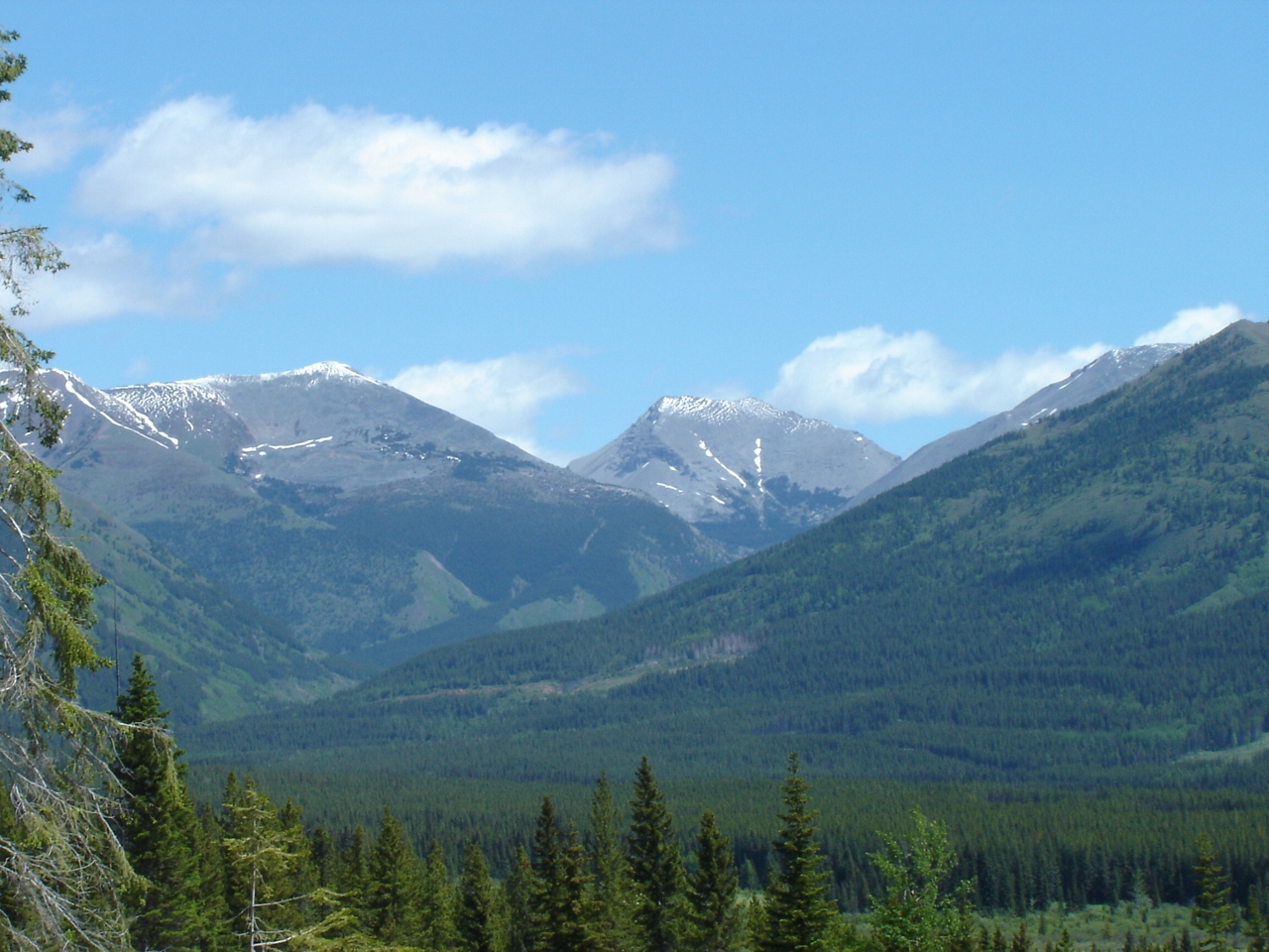
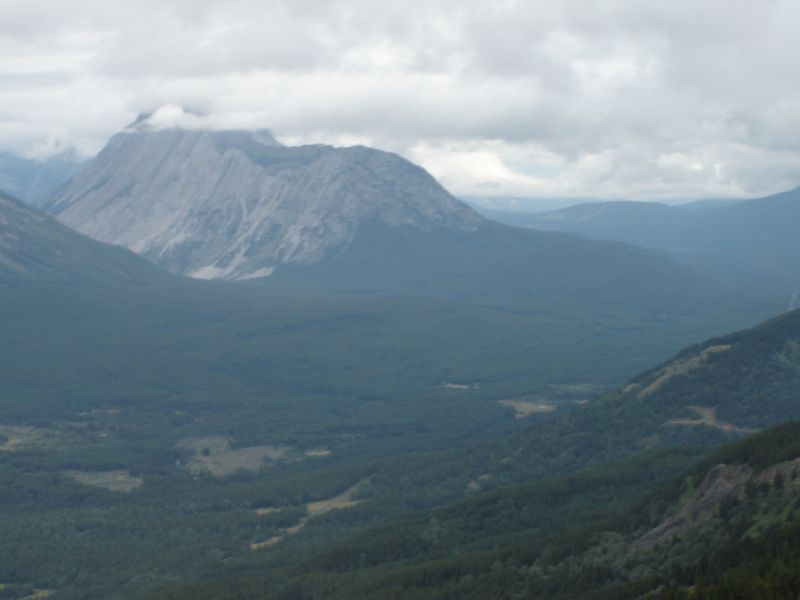
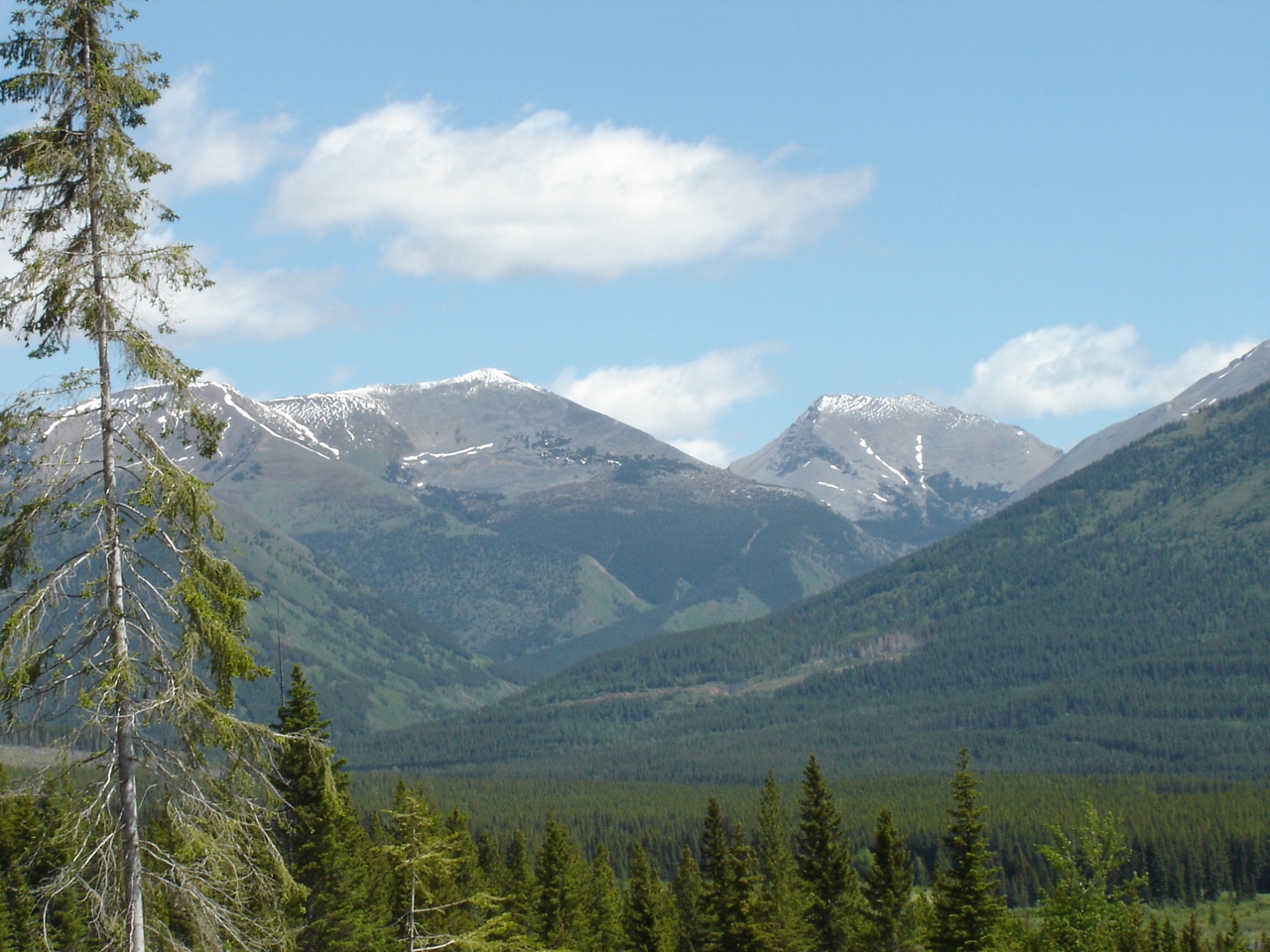
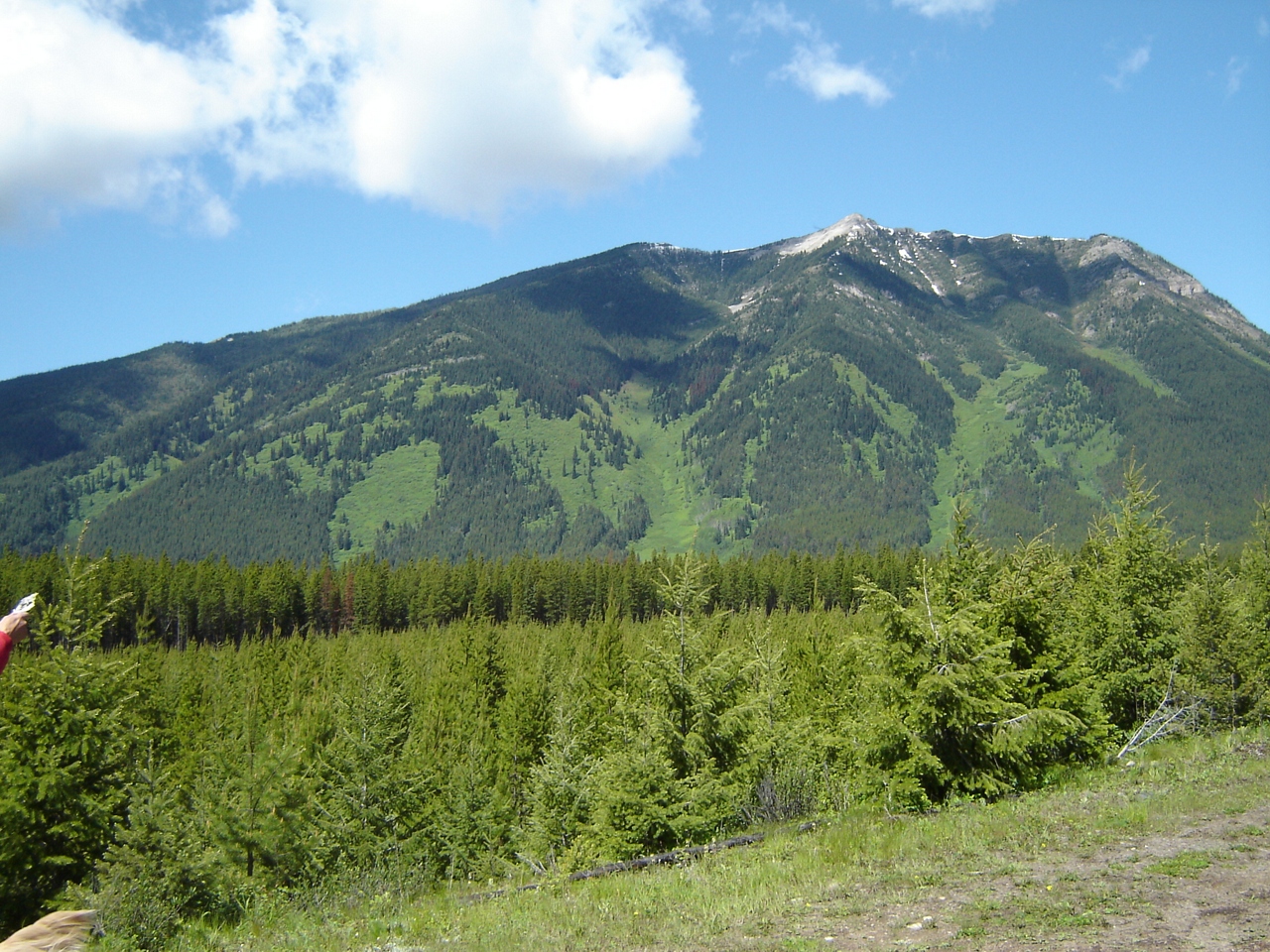
写真
Looking into Aldridge Creek
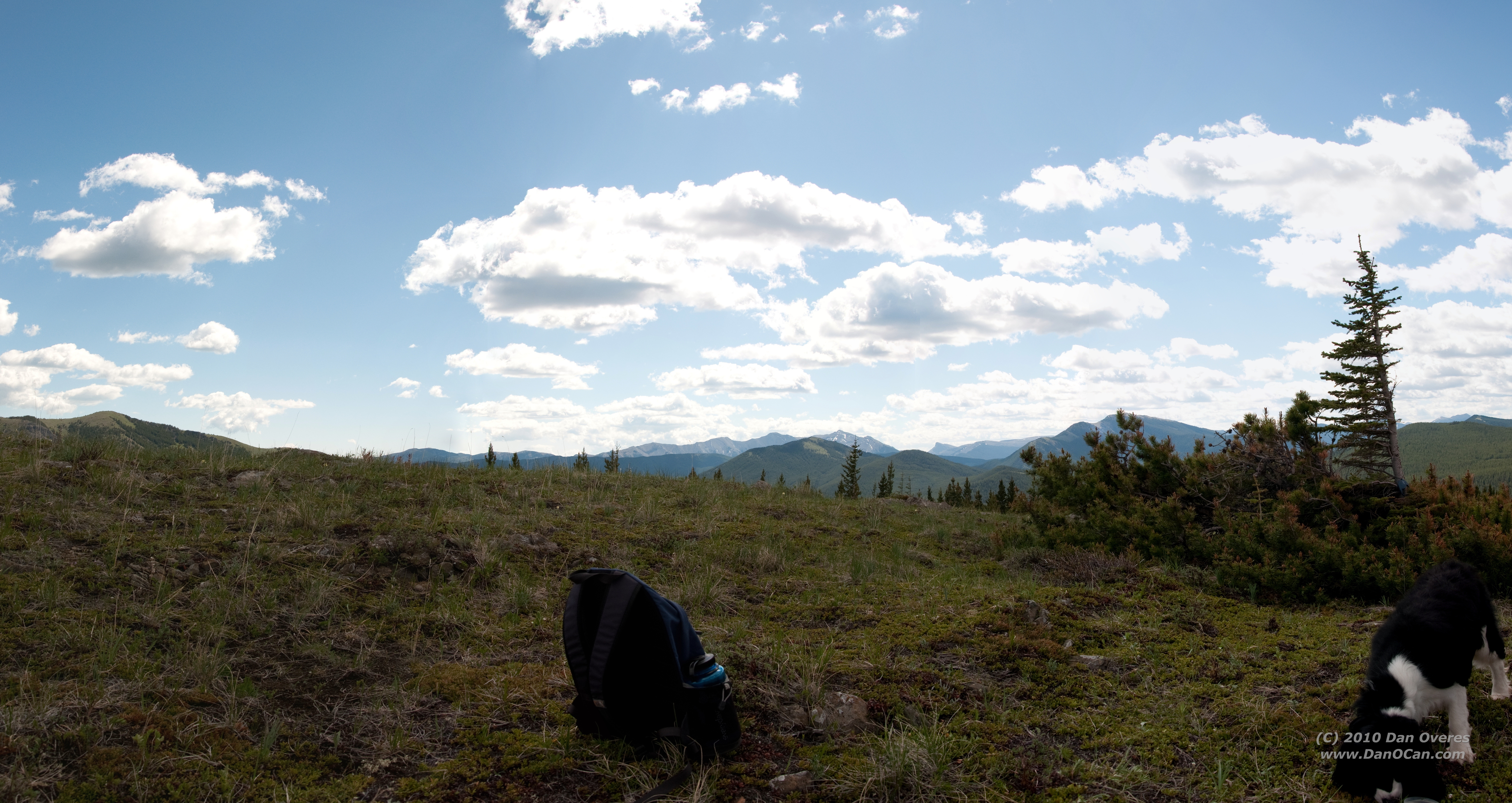
View North from Big Weary Ridge
Looking at Aldridge and the burning coal seam
Slides north of harvest area
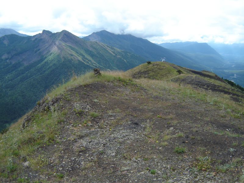
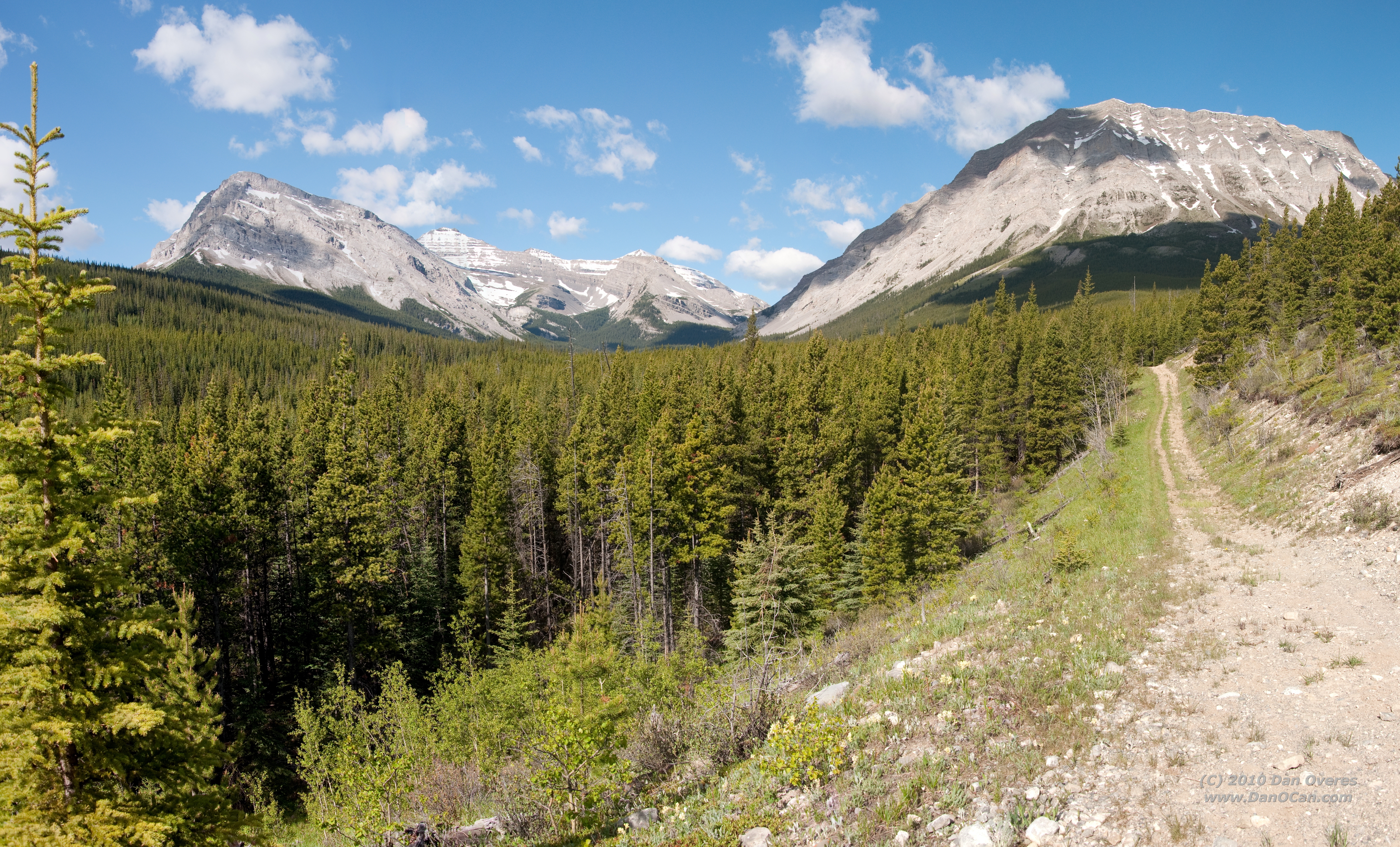
View south from Big Weary
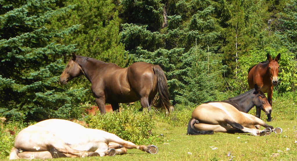
Lazy Horses - Canada

#distantdreams #twotrollsinmiddleearth #longingforsnowymountains and #skitouring on way down from #mtarmstrong #brewsterhut #trolleinmittelerde
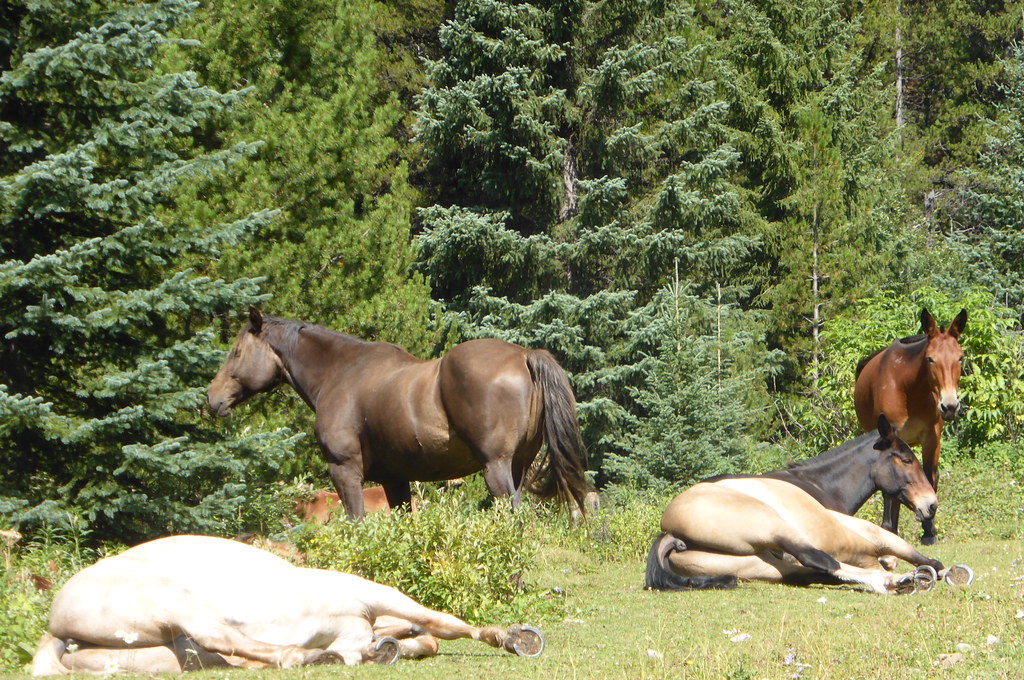
lazy horses
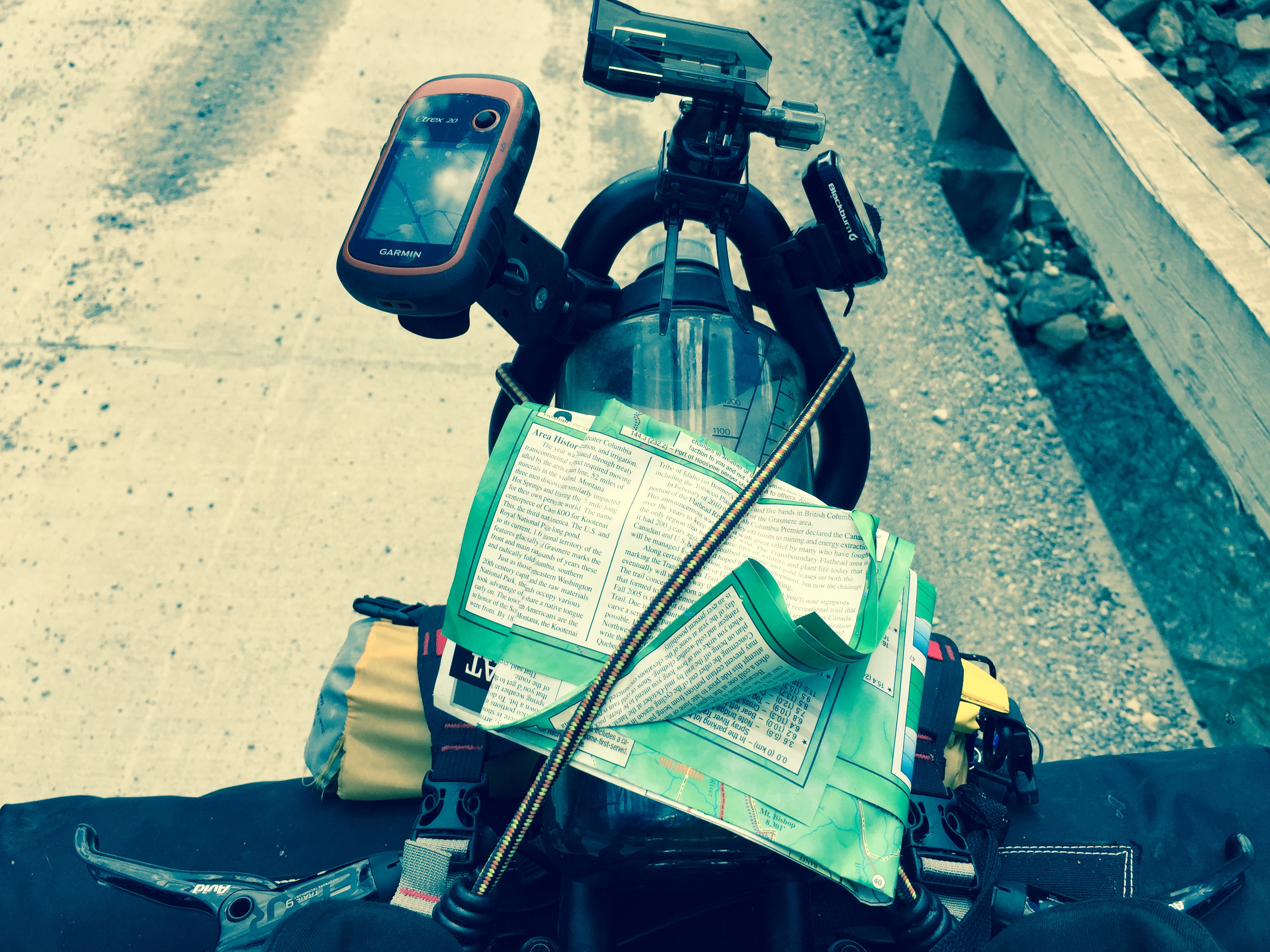
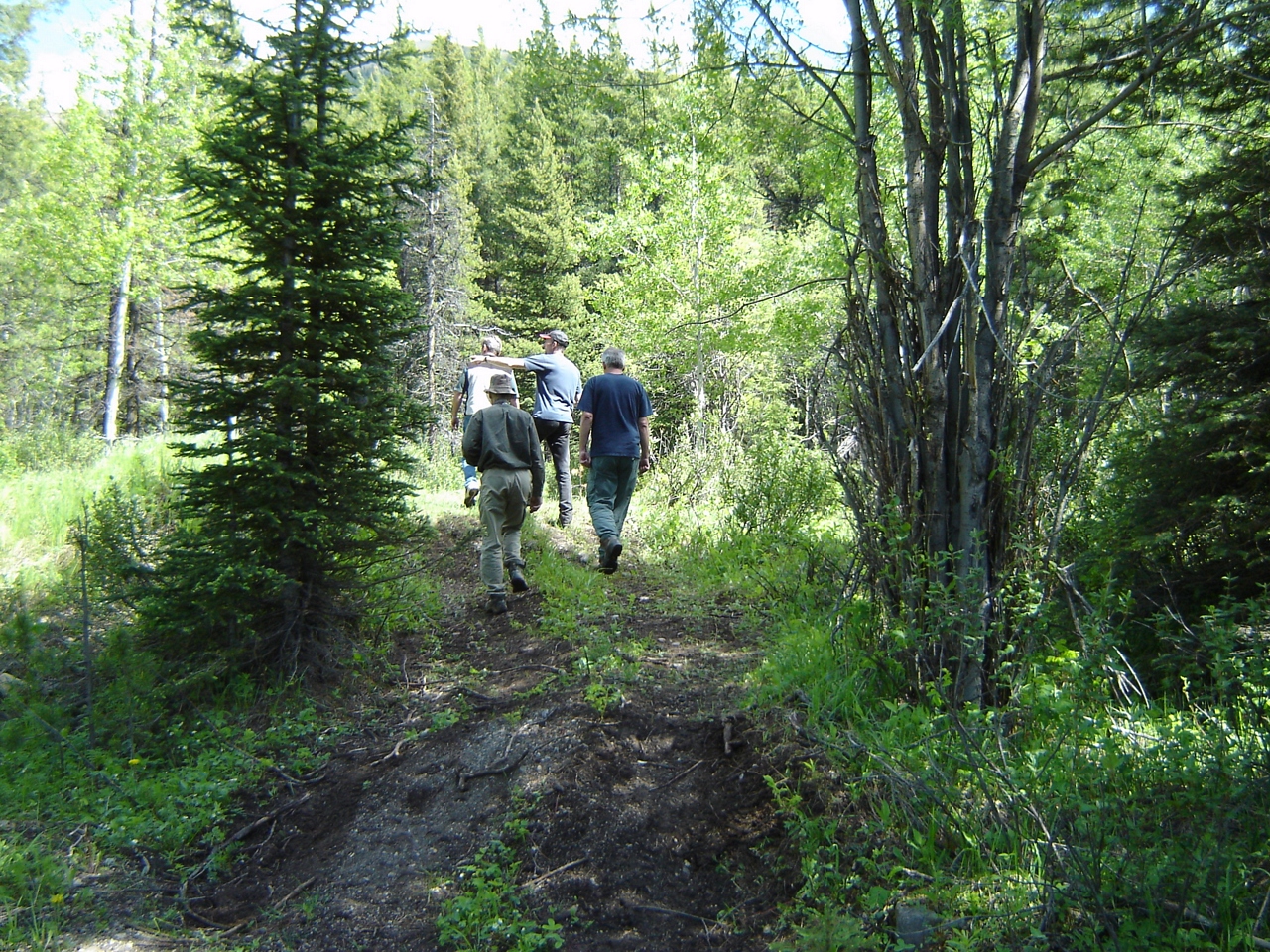
Various photos from last two days Left Sparwood Friday morning and crested my first pass. Flathead Pass. And ended up two miles short of the second of three passes so camped near top when it started raining Lots of walking but still pressing on
Various photos from last two days Left Sparwood Friday morning and crested my first pass. Flathead Pass. And ended up two miles short of the second of three passes so camped near top when it started raining Lots of walking but still pressing on
DSC_4528 Stitch
DSC_4508 Stitch
DSC_4504 Stitch

Road Flooding towards Elkford
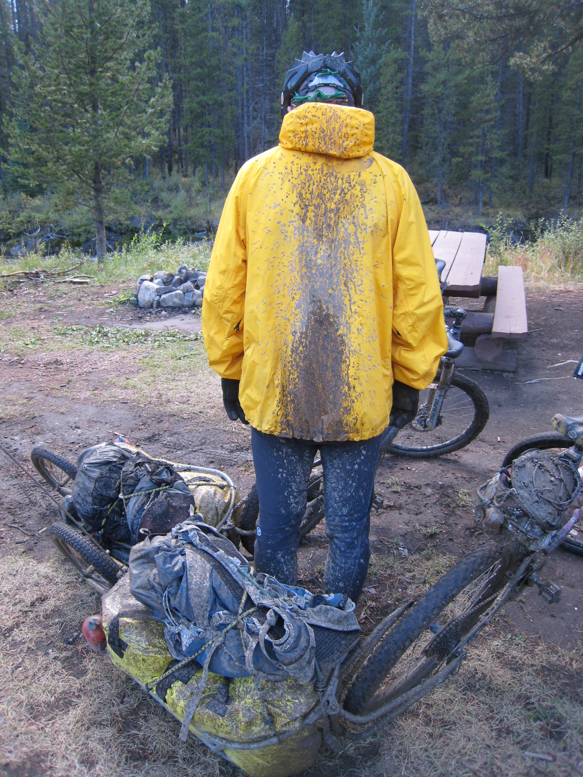
Mud, mud and more mud!

It's a dirty job...
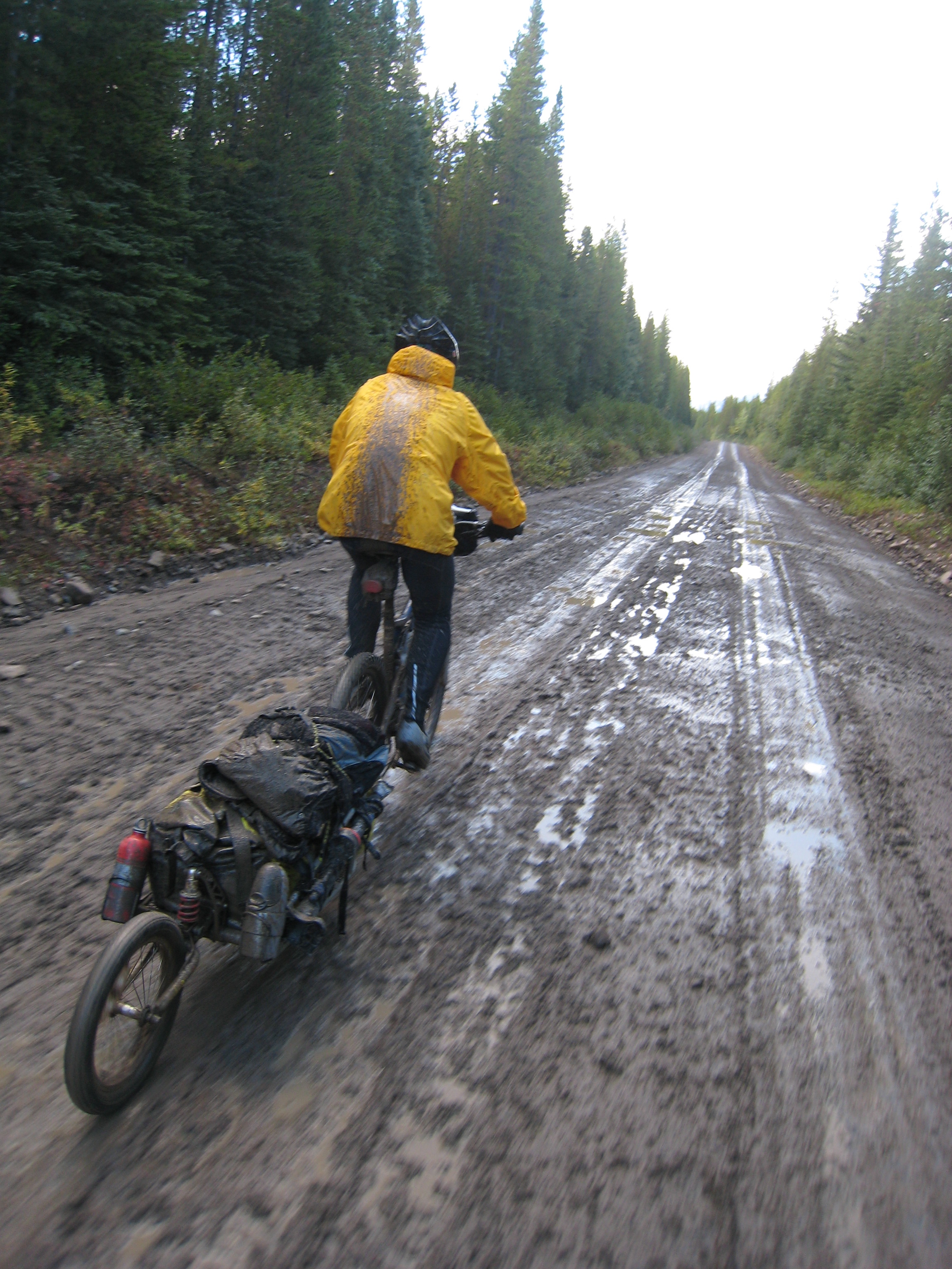
Willy pedaling on through the mud
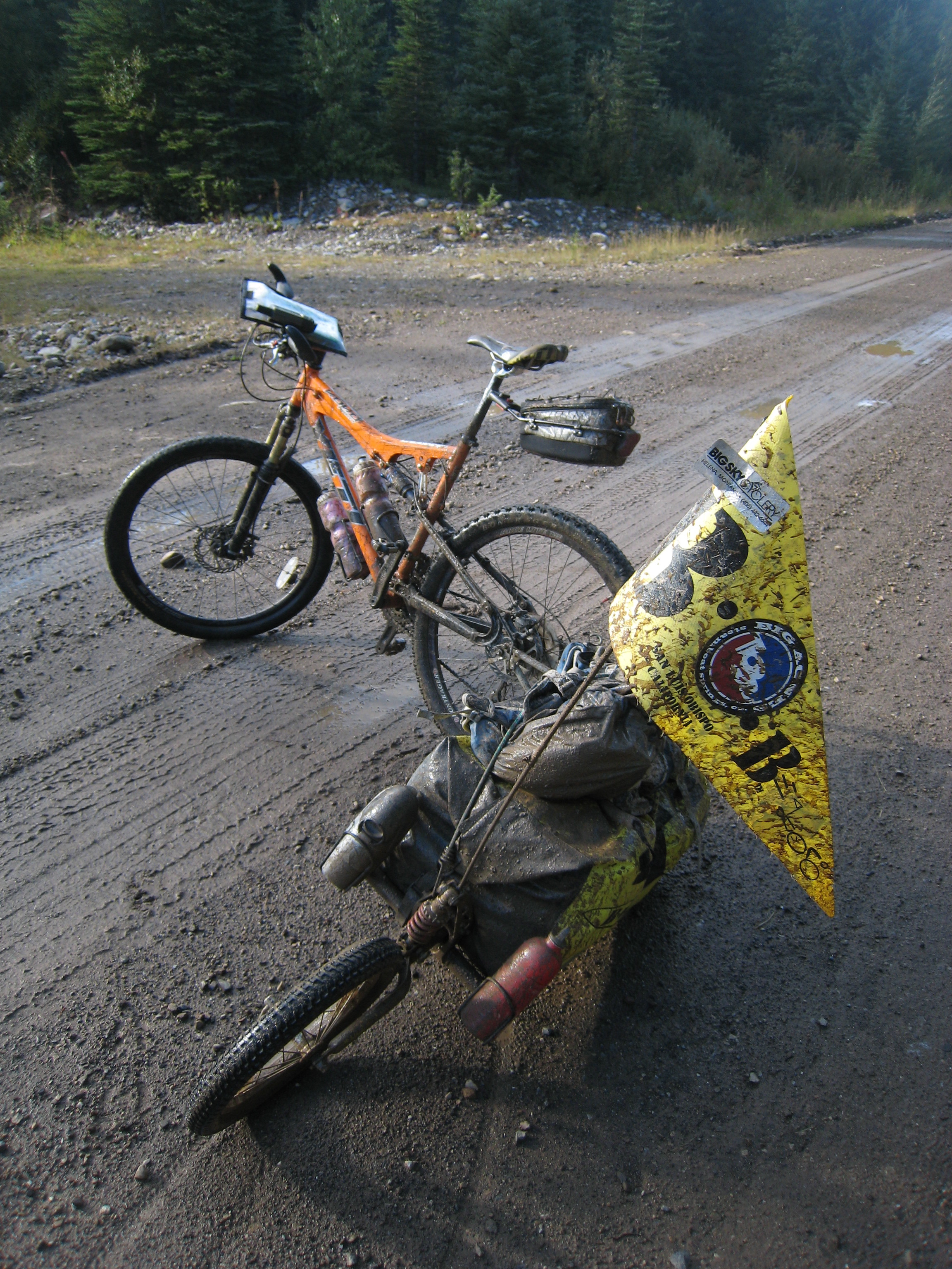
Mud!
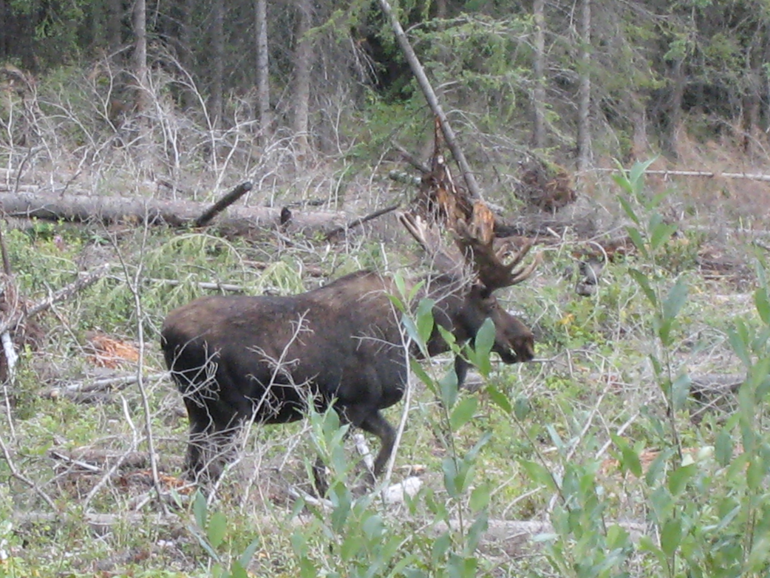
Moose eh?

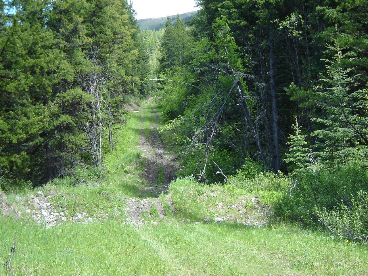
ATV and truck access
Signs of access (ATV + truck)
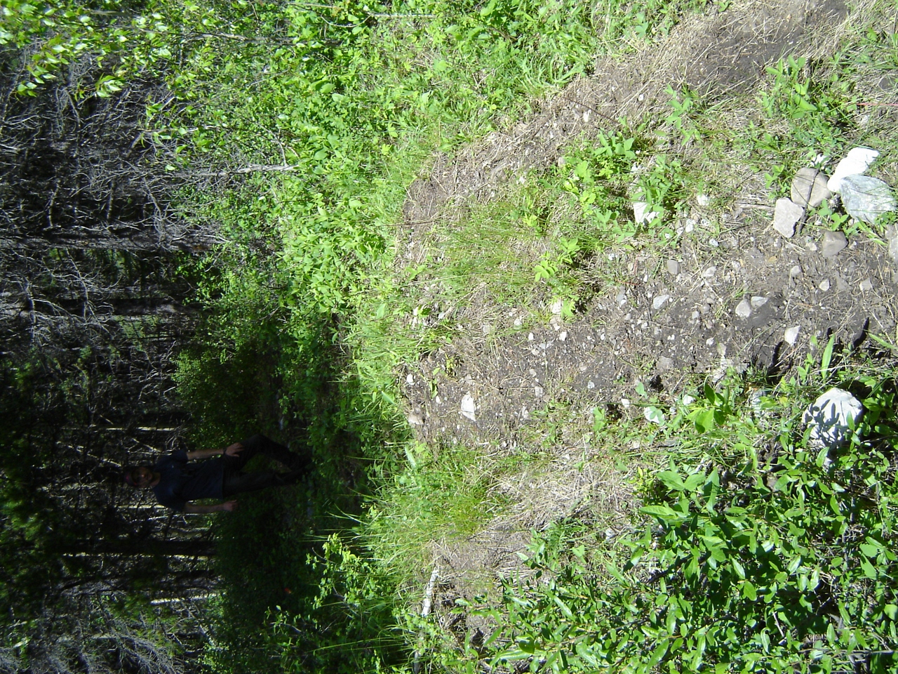
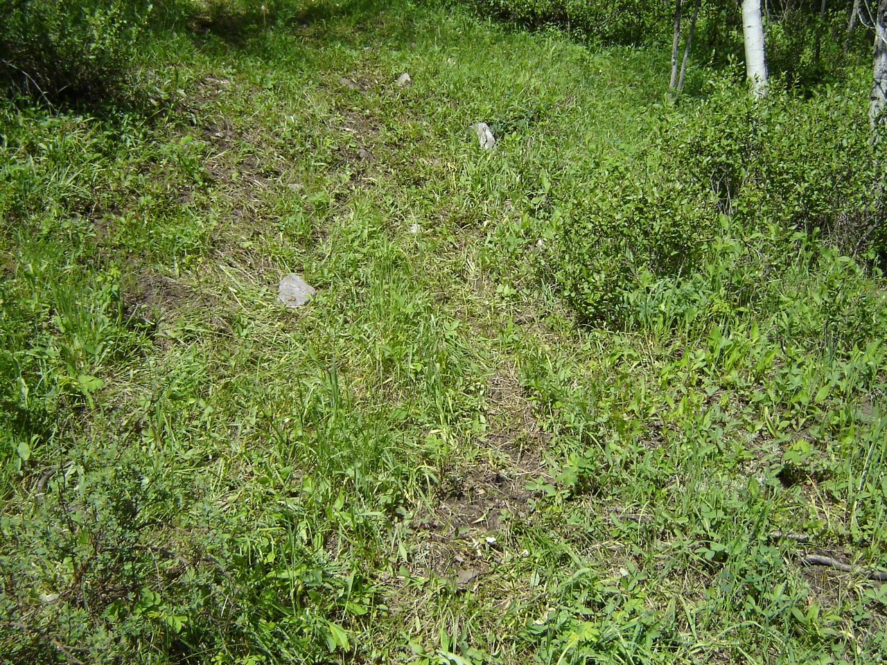
ATVs accessing Aldridge Creek

Illegal access at Aldridge
Illegal access at Aldridge Creek
DSC02941.JPG

DSC02940.JPG
カナダ 〒V0B ブリティッシュコロンビア州 イースト・クーテネイ A タックスフォード山の地図
別の場所を検索
近所の場所
カナダ 〒V0B ブリティッシュコロンビア州 イースト・クーテネイ A ベイッツ山
カナダ 〒V0B ブリティッシュコロンビア州 イースト・クーテネイ A コースレット NW2
カナダ 〒V0B ブリティッシュコロンビア州 イースト・クーテネイ A コースレット NW3
カナダ 〒V0B ブリティッシュコロンビア州 イースト・クーテネイ A コースレット・ピーク
カナダ 〒V0B ブリティッシュコロンビア州 イースト・クーテネイ A ギル・ピーク
カナダ 〒V0B ブリティッシュコロンビア州 イースト・クーテネイ A ウィアリー・リッジ
カナダ 〒V0B ブリティッシュコロンビア州 イースト・クーテネイ A シャンクランド山
カナダ 〒V0B ブリティッシュコロンビア州 イースト・クーテネイ A ミュアー SW2
カナダ 〒V0B ブリティッシュコロンビア州 イースト・クーテネイ A コーンウェル山
カナダ 〒T0L アルバータ カナナスキス マクラーレン山
カナダ 〒T0L アルバータ カナナスキス ストラチャン山
カナダ 〒V0B ブリティッシュコロンビア州 イースト・クーテネイ A マクフェール山
カナダ 〒V0B ブリティッシュコロンビア州 イースト・クーテネイ A エザーリントン山
カナダ 〒T0L アルバータ カナナスキス バリル・ピーク
カナダ 〒V0B ブリティッシュコロンビア州 イースト・クーテネイ A アームストロング山
カナダ 〒V0B ブリティッシュコロンビア州 イースト・クーテネイ A スクリムガー山
カナダ 〒T0L アルバータ カナナスキス ビショップ山
カナダ 〒V0B ブリティッシュコロンビア州 イースト・クーテネイ A ファークワー山
カナダ 〒V0B ブリティッシュコロンビア州 イースト・クーテネイ A ピアス山
カナダ 〒V0B ブリティッシュコロンビア州 イースト・クーテネイ A ピーク 09-48
最近の検索
- アメリカ合衆国 アラスカ州 レッド・ドッグ・マイン日の出日の入り時間
- Am bhf, Borken, ドイツアム・バーンホーフ日の出日の入り時間
- 4th St E, Sonoma, CA, USA日の出日の入り時間
- Oakland Ave, Williamsport, PA アメリカ合衆国日の出日の入り時間
- Via Roma, Pieranica CR, イタリアローマ通り日の出日の入り時間
- クロアチア 〒 ドゥブロブニク GradClock Tower of Dubrovnik日の出日の入り時間
- アルゼンチン チュブ州 トレリュー日の出日の入り時間
- Hartfords Bluff Cir, Mt Pleasant, SC アメリカ合衆国日の出日の入り時間
- 日本、熊本県熊本市北区日の出日の入り時間
- 中華人民共和国 福州市 平潭県 平潭島日の出日の入り時間