カナダ 〒V0N ブリティッシュコロンビア州 スコーミッシュ=リロオエット B シートン山日の出日の入り時間
Location: カナダ > ブリティッシュコロンビア州 > スコーミッシュ・リロエット地域 > カナダ 〒V0N ブリティッシュコロンビア州 ダルシー >
時間帯:
America/Vancouver
現地時間:
2025-07-14 16:51:19
経度:
-122.2602777
緯度:
50.6236111
今日の日の出時刻:
05:14:48 AM
今日の日の入時刻:
09:15:27 PM
今日の日長:
16h 0m 39s
明日の日の出時刻:
05:15:59 AM
明日の日の入時刻:
09:14:27 PM
明日の日長:
15h 58m 28s
すべて表示する
| 日付 | 日出 | 日没 | 日長 |
|---|---|---|---|
| 2025年01月01日 | 08:10:04 AM | 04:16:28 PM | 8h 6m 24s |
| 2025年01月02日 | 08:09:52 AM | 04:17:35 PM | 8h 7m 43s |
| 2025年01月03日 | 08:09:38 AM | 04:18:43 PM | 8h 9m 5s |
| 2025年01月04日 | 08:09:20 AM | 04:19:54 PM | 8h 10m 34s |
| 2025年01月05日 | 08:08:59 AM | 04:21:08 PM | 8h 12m 9s |
| 2025年01月06日 | 08:08:35 AM | 04:22:23 PM | 8h 13m 48s |
| 2025年01月07日 | 08:08:08 AM | 04:23:41 PM | 8h 15m 33s |
| 2025年01月08日 | 08:07:38 AM | 04:25:00 PM | 8h 17m 22s |
| 2025年01月09日 | 08:07:05 AM | 04:26:22 PM | 8h 19m 17s |
| 2025年01月10日 | 08:06:29 AM | 04:27:45 PM | 8h 21m 16s |
| 2025年01月11日 | 08:05:50 AM | 04:29:11 PM | 8h 23m 21s |
| 2025年01月12日 | 08:05:07 AM | 04:30:38 PM | 8h 25m 31s |
| 2025年01月13日 | 08:04:22 AM | 04:32:06 PM | 8h 27m 44s |
| 2025年01月14日 | 08:03:34 AM | 04:33:36 PM | 8h 30m 2s |
| 2025年01月15日 | 08:02:44 AM | 04:35:08 PM | 8h 32m 24s |
| 2025年01月16日 | 08:01:50 AM | 04:36:40 PM | 8h 34m 50s |
| 2025年01月17日 | 08:00:54 AM | 04:38:15 PM | 8h 37m 21s |
| 2025年01月18日 | 07:59:55 AM | 04:39:50 PM | 8h 39m 55s |
| 2025年01月19日 | 07:58:53 AM | 04:41:26 PM | 8h 42m 33s |
| 2025年01月20日 | 07:57:49 AM | 04:43:04 PM | 8h 45m 15s |
| 2025年01月21日 | 07:56:43 AM | 04:44:43 PM | 8h 48m 0s |
| 2025年01月22日 | 07:55:34 AM | 04:46:22 PM | 8h 50m 48s |
| 2025年01月23日 | 07:54:22 AM | 04:48:02 PM | 8h 53m 40s |
| 2025年01月24日 | 07:53:08 AM | 04:49:43 PM | 8h 56m 35s |
| 2025年01月25日 | 07:51:52 AM | 04:51:25 PM | 8h 59m 33s |
| 2025年01月26日 | 07:50:34 AM | 04:53:08 PM | 9h 2m 34s |
| 2025年01月27日 | 07:49:13 AM | 04:54:51 PM | 9h 5m 38s |
| 2025年01月28日 | 07:47:50 AM | 04:56:34 PM | 9h 8m 44s |
| 2025年01月29日 | 07:46:25 AM | 04:58:18 PM | 9h 11m 53s |
| 2025年01月30日 | 07:44:58 AM | 05:00:03 PM | 9h 15m 5s |
| 2025年01月31日 | 07:43:29 AM | 05:01:48 PM | 9h 18m 19s |
| 2025年02月01日 | 07:41:58 AM | 05:03:33 PM | 9h 21m 35s |
| 2025年02月02日 | 07:40:26 AM | 05:05:18 PM | 9h 24m 52s |
| 2025年02月03日 | 07:38:51 AM | 05:07:04 PM | 9h 28m 13s |
| 2025年02月04日 | 07:37:15 AM | 05:08:50 PM | 9h 31m 35s |
| 2025年02月05日 | 07:35:36 AM | 05:10:36 PM | 9h 35m 0s |
| 2025年02月06日 | 07:33:57 AM | 05:12:22 PM | 9h 38m 25s |
| 2025年02月07日 | 07:32:15 AM | 05:14:08 PM | 9h 41m 53s |
| 2025年02月08日 | 07:30:32 AM | 05:15:54 PM | 9h 45m 22s |
| 2025年02月09日 | 07:28:47 AM | 05:17:40 PM | 9h 48m 53s |
| 2025年02月10日 | 07:27:01 AM | 05:19:26 PM | 9h 52m 25s |
| 2025年02月11日 | 07:25:14 AM | 05:21:12 PM | 9h 55m 58s |
| 2025年02月12日 | 07:23:25 AM | 05:22:58 PM | 9h 59m 33s |
| 2025年02月13日 | 07:21:35 AM | 05:24:44 PM | 10h 3m 9s |
| 2025年02月14日 | 07:19:43 AM | 05:26:29 PM | 10h 6m 46s |
| 2025年02月15日 | 07:17:50 AM | 05:28:15 PM | 10h 10m 25s |
| 2025年02月16日 | 07:15:56 AM | 05:30:00 PM | 10h 14m 4s |
| 2025年02月17日 | 07:14:01 AM | 05:31:45 PM | 10h 17m 44s |
| 2025年02月18日 | 07:12:04 AM | 05:33:30 PM | 10h 21m 26s |
| 2025年02月19日 | 07:10:07 AM | 05:35:15 PM | 10h 25m 8s |
| 2025年02月20日 | 07:08:08 AM | 05:36:59 PM | 10h 28m 51s |
| 2025年02月21日 | 07:06:08 AM | 05:38:43 PM | 10h 32m 35s |
| 2025年02月22日 | 07:04:08 AM | 05:40:27 PM | 10h 36m 19s |
| 2025年02月23日 | 07:02:06 AM | 05:42:11 PM | 10h 40m 5s |
| 2025年02月24日 | 07:00:04 AM | 05:43:54 PM | 10h 43m 50s |
| 2025年02月25日 | 06:58:01 AM | 05:45:37 PM | 10h 47m 36s |
| 2025年02月26日 | 06:55:57 AM | 05:47:20 PM | 10h 51m 23s |
| 2025年02月27日 | 06:53:52 AM | 05:49:03 PM | 10h 55m 11s |
| 2025年02月28日 | 06:51:46 AM | 05:50:45 PM | 10h 58m 59s |
| 2025年03月01日 | 06:49:40 AM | 05:52:27 PM | 11h 2m 47s |
| 2025年03月02日 | 06:47:33 AM | 05:54:08 PM | 11h 6m 35s |
| 2025年03月03日 | 06:45:25 AM | 05:55:50 PM | 11h 10m 25s |
| 2025年03月04日 | 06:43:17 AM | 05:57:31 PM | 11h 14m 14s |
| 2025年03月05日 | 06:41:08 AM | 05:59:12 PM | 11h 18m 4s |
| 2025年03月06日 | 06:38:59 AM | 06:00:53 PM | 11h 21m 54s |
| 2025年03月07日 | 06:36:49 AM | 06:02:33 PM | 11h 25m 44s |
| 2025年03月08日 | 06:34:39 AM | 06:04:13 PM | 11h 29m 34s |
| 2025年03月09日 | 07:32:34 AM | 07:05:49 PM | 11h 33m 15s |
| 2025年03月10日 | 07:30:23 AM | 07:07:28 PM | 11h 37m 5s |
| 2025年03月11日 | 07:28:11 AM | 07:09:08 PM | 11h 40m 57s |
| 2025年03月12日 | 07:25:59 AM | 07:10:47 PM | 11h 44m 48s |
| 2025年03月13日 | 07:23:47 AM | 07:12:26 PM | 11h 48m 39s |
| 2025年03月14日 | 07:21:35 AM | 07:14:05 PM | 11h 52m 30s |
| 2025年03月15日 | 07:19:22 AM | 07:15:43 PM | 11h 56m 21s |
| 2025年03月16日 | 07:17:09 AM | 07:17:22 PM | 12h 0m 13s |
| 2025年03月17日 | 07:14:56 AM | 07:19:00 PM | 12h 4m 4s |
| 2025年03月18日 | 07:12:43 AM | 07:20:38 PM | 12h 7m 55s |
| 2025年03月19日 | 07:10:30 AM | 07:22:16 PM | 12h 11m 46s |
| 2025年03月20日 | 07:08:16 AM | 07:23:53 PM | 12h 15m 37s |
| 2025年03月21日 | 07:06:03 AM | 07:25:31 PM | 12h 19m 28s |
| 2025年03月22日 | 07:03:50 AM | 07:27:08 PM | 12h 23m 18s |
| 2025年03月23日 | 07:01:36 AM | 07:28:46 PM | 12h 27m 10s |
| 2025年03月24日 | 06:59:23 AM | 07:30:23 PM | 12h 31m 0s |
| 2025年03月25日 | 06:57:09 AM | 07:32:00 PM | 12h 34m 51s |
| 2025年03月26日 | 06:54:56 AM | 07:33:37 PM | 12h 38m 41s |
| 2025年03月27日 | 06:52:43 AM | 07:35:14 PM | 12h 42m 31s |
| 2025年03月28日 | 06:50:30 AM | 07:36:51 PM | 12h 46m 21s |
| 2025年03月29日 | 06:48:17 AM | 07:38:28 PM | 12h 50m 11s |
| 2025年03月30日 | 06:46:05 AM | 07:40:05 PM | 12h 54m 0s |
| 2025年03月31日 | 06:43:52 AM | 07:41:41 PM | 12h 57m 49s |
| 2025年04月01日 | 06:41:40 AM | 07:43:18 PM | 13h 1m 38s |
| 2025年04月02日 | 06:39:28 AM | 07:44:55 PM | 13h 5m 27s |
| 2025年04月03日 | 06:37:17 AM | 07:46:31 PM | 13h 9m 14s |
| 2025年04月04日 | 06:35:06 AM | 07:48:08 PM | 13h 13m 2s |
| 2025年04月05日 | 06:32:56 AM | 07:49:45 PM | 13h 16m 49s |
| 2025年04月06日 | 06:30:45 AM | 07:51:21 PM | 13h 20m 36s |
| 2025年04月07日 | 06:28:36 AM | 07:52:58 PM | 13h 24m 22s |
| 2025年04月08日 | 06:26:27 AM | 07:54:34 PM | 13h 28m 7s |
| 2025年04月09日 | 06:24:18 AM | 07:56:11 PM | 13h 31m 53s |
| 2025年04月10日 | 06:22:10 AM | 07:57:47 PM | 13h 35m 37s |
| 2025年04月11日 | 06:20:02 AM | 07:59:24 PM | 13h 39m 22s |
| 2025年04月12日 | 06:17:56 AM | 08:01:00 PM | 13h 43m 4s |
| 2025年04月13日 | 06:15:49 AM | 08:02:37 PM | 13h 46m 48s |
| 2025年04月14日 | 06:13:44 AM | 08:04:13 PM | 13h 50m 29s |
| 2025年04月15日 | 06:11:39 AM | 08:05:50 PM | 13h 54m 11s |
| 2025年04月16日 | 06:09:36 AM | 08:07:26 PM | 13h 57m 50s |
| 2025年04月17日 | 06:07:32 AM | 08:09:03 PM | 14h 1m 31s |
| 2025年04月18日 | 06:05:30 AM | 08:10:39 PM | 14h 5m 9s |
| 2025年04月19日 | 06:03:29 AM | 08:12:15 PM | 14h 8m 46s |
| 2025年04月20日 | 06:01:29 AM | 08:13:52 PM | 14h 12m 23s |
| 2025年04月21日 | 05:59:29 AM | 08:15:28 PM | 14h 15m 59s |
| 2025年04月22日 | 05:57:31 AM | 08:17:04 PM | 14h 19m 33s |
| 2025年04月23日 | 05:55:33 AM | 08:18:40 PM | 14h 23m 7s |
| 2025年04月24日 | 05:53:37 AM | 08:20:16 PM | 14h 26m 39s |
| 2025年04月25日 | 05:51:42 AM | 08:21:51 PM | 14h 30m 9s |
| 2025年04月26日 | 05:49:48 AM | 08:23:27 PM | 14h 33m 39s |
| 2025年04月27日 | 05:47:55 AM | 08:25:02 PM | 14h 37m 7s |
| 2025年04月28日 | 05:46:04 AM | 08:26:37 PM | 14h 40m 33s |
| 2025年04月29日 | 05:44:14 AM | 08:28:12 PM | 14h 43m 58s |
| 2025年04月30日 | 05:42:25 AM | 08:29:47 PM | 14h 47m 22s |
| 2025年05月01日 | 05:40:37 AM | 08:31:21 PM | 14h 50m 44s |
| 2025年05月02日 | 05:38:51 AM | 08:32:55 PM | 14h 54m 4s |
| 2025年05月03日 | 05:37:07 AM | 08:34:28 PM | 14h 57m 21s |
| 2025年05月04日 | 05:35:23 AM | 08:36:02 PM | 15h 0m 39s |
| 2025年05月05日 | 05:33:42 AM | 08:37:34 PM | 15h 3m 52s |
| 2025年05月06日 | 05:32:02 AM | 08:39:07 PM | 15h 7m 5s |
| 2025年05月07日 | 05:30:24 AM | 08:40:38 PM | 15h 10m 14s |
| 2025年05月08日 | 05:28:47 AM | 08:42:10 PM | 15h 13m 23s |
| 2025年05月09日 | 05:27:12 AM | 08:43:40 PM | 15h 16m 28s |
| 2025年05月10日 | 05:25:39 AM | 08:45:10 PM | 15h 19m 31s |
| 2025年05月11日 | 05:24:08 AM | 08:46:39 PM | 15h 22m 31s |
| 2025年05月12日 | 05:22:39 AM | 08:48:08 PM | 15h 25m 29s |
| 2025年05月13日 | 05:21:11 AM | 08:49:36 PM | 15h 28m 25s |
| 2025年05月14日 | 05:19:46 AM | 08:51:02 PM | 15h 31m 16s |
| 2025年05月15日 | 05:18:23 AM | 08:52:28 PM | 15h 34m 5s |
| 2025年05月16日 | 05:17:01 AM | 08:53:53 PM | 15h 36m 52s |
| 2025年05月17日 | 05:15:42 AM | 08:55:17 PM | 15h 39m 35s |
| 2025年05月18日 | 05:14:25 AM | 08:56:40 PM | 15h 42m 15s |
| 2025年05月19日 | 05:13:10 AM | 08:58:02 PM | 15h 44m 52s |
| 2025年05月20日 | 05:11:58 AM | 08:59:23 PM | 15h 47m 25s |
| 2025年05月21日 | 05:10:48 AM | 09:00:42 PM | 15h 49m 54s |
| 2025年05月22日 | 05:09:40 AM | 09:02:00 PM | 15h 52m 20s |
| 2025年05月23日 | 05:08:34 AM | 09:03:17 PM | 15h 54m 43s |
| 2025年05月24日 | 05:07:31 AM | 09:04:32 PM | 15h 57m 1s |
| 2025年05月25日 | 05:06:31 AM | 09:05:46 PM | 15h 59m 15s |
| 2025年05月26日 | 05:05:33 AM | 09:06:58 PM | 16h 1m 25s |
| 2025年05月27日 | 05:04:37 AM | 09:08:08 PM | 16h 3m 31s |
| 2025年05月28日 | 05:03:45 AM | 09:09:17 PM | 16h 5m 32s |
| 2025年05月29日 | 05:02:55 AM | 09:10:24 PM | 16h 7m 29s |
| 2025年05月30日 | 05:02:07 AM | 09:11:29 PM | 16h 9m 22s |
| 2025年05月31日 | 05:01:22 AM | 09:12:32 PM | 16h 11m 10s |
| 2025年06月01日 | 05:00:40 AM | 09:13:34 PM | 16h 12m 54s |
| 2025年06月02日 | 05:00:01 AM | 09:14:33 PM | 16h 14m 32s |
| 2025年06月03日 | 04:59:25 AM | 09:15:30 PM | 16h 16m 5s |
| 2025年06月04日 | 04:58:51 AM | 09:16:25 PM | 16h 17m 34s |
| 2025年06月05日 | 04:58:20 AM | 09:17:17 PM | 16h 18m 57s |
| 2025年06月06日 | 04:57:52 AM | 09:18:08 PM | 16h 20m 16s |
| 2025年06月07日 | 04:57:27 AM | 09:18:56 PM | 16h 21m 29s |
| 2025年06月08日 | 04:57:05 AM | 09:19:41 PM | 16h 22m 36s |
| 2025年06月09日 | 04:56:46 AM | 09:20:25 PM | 16h 23m 39s |
| 2025年06月10日 | 04:56:30 AM | 09:21:05 PM | 16h 24m 35s |
| 2025年06月11日 | 04:56:17 AM | 09:21:43 PM | 16h 25m 26s |
| 2025年06月12日 | 04:56:07 AM | 09:22:19 PM | 16h 26m 12s |
| 2025年06月13日 | 04:55:59 AM | 09:22:51 PM | 16h 26m 52s |
| 2025年06月14日 | 04:55:55 AM | 09:23:21 PM | 16h 27m 26s |
| 2025年06月15日 | 04:55:54 AM | 09:23:49 PM | 16h 27m 55s |
| 2025年06月16日 | 04:55:55 AM | 09:24:13 PM | 16h 28m 18s |
| 2025年06月17日 | 04:56:00 AM | 09:24:35 PM | 16h 28m 35s |
| 2025年06月18日 | 04:56:07 AM | 09:24:53 PM | 16h 28m 46s |
| 2025年06月19日 | 04:56:17 AM | 09:25:09 PM | 16h 28m 52s |
| 2025年06月20日 | 04:56:30 AM | 09:25:22 PM | 16h 28m 52s |
| 2025年06月21日 | 04:56:47 AM | 09:25:32 PM | 16h 28m 45s |
| 2025年06月22日 | 04:57:05 AM | 09:25:39 PM | 16h 28m 34s |
| 2025年06月23日 | 04:57:27 AM | 09:25:44 PM | 16h 28m 17s |
| 2025年06月24日 | 04:57:51 AM | 09:25:45 PM | 16h 27m 54s |
| 2025年06月25日 | 04:58:18 AM | 09:25:43 PM | 16h 27m 25s |
| 2025年06月26日 | 04:58:48 AM | 09:25:38 PM | 16h 26m 50s |
| 2025年06月27日 | 04:59:21 AM | 09:25:30 PM | 16h 26m 9s |
| 2025年06月28日 | 04:59:56 AM | 09:25:19 PM | 16h 25m 23s |
| 2025年06月29日 | 05:00:33 AM | 09:25:05 PM | 16h 24m 32s |
| 2025年06月30日 | 05:01:13 AM | 09:24:48 PM | 16h 23m 35s |
| 2025年07月01日 | 05:01:56 AM | 09:24:29 PM | 16h 22m 33s |
| 2025年07月02日 | 05:02:40 AM | 09:24:06 PM | 16h 21m 26s |
| 2025年07月03日 | 05:03:27 AM | 09:23:40 PM | 16h 20m 13s |
| 2025年07月04日 | 05:04:17 AM | 09:23:11 PM | 16h 18m 54s |
| 2025年07月05日 | 05:05:09 AM | 09:22:40 PM | 16h 17m 31s |
| 2025年07月06日 | 05:06:02 AM | 09:22:05 PM | 16h 16m 3s |
| 2025年07月07日 | 05:06:58 AM | 09:21:28 PM | 16h 14m 30s |
| 2025年07月08日 | 05:07:56 AM | 09:20:47 PM | 16h 12m 51s |
| 2025年07月09日 | 05:08:56 AM | 09:20:04 PM | 16h 11m 8s |
| 2025年07月10日 | 05:09:57 AM | 09:19:19 PM | 16h 9m 22s |
| 2025年07月11日 | 05:11:01 AM | 09:18:30 PM | 16h 7m 29s |
| 2025年07月12日 | 05:12:06 AM | 09:17:39 PM | 16h 5m 33s |
| 2025年07月13日 | 05:13:13 AM | 09:16:45 PM | 16h 3m 32s |
| 2025年07月14日 | 05:14:22 AM | 09:15:49 PM | 16h 1m 27s |
| 2025年07月15日 | 05:15:32 AM | 09:14:50 PM | 15h 59m 18s |
| 2025年07月16日 | 05:16:44 AM | 09:13:48 PM | 15h 57m 4s |
| 2025年07月17日 | 05:17:57 AM | 09:12:44 PM | 15h 54m 47s |
| 2025年07月18日 | 05:19:11 AM | 09:11:37 PM | 15h 52m 26s |
| 2025年07月19日 | 05:20:27 AM | 09:10:28 PM | 15h 50m 1s |
| 2025年07月20日 | 05:21:44 AM | 09:09:17 PM | 15h 47m 33s |
| 2025年07月21日 | 05:23:02 AM | 09:08:03 PM | 15h 45m 1s |
| 2025年07月22日 | 05:24:21 AM | 09:06:47 PM | 15h 42m 26s |
| 2025年07月23日 | 05:25:41 AM | 09:05:29 PM | 15h 39m 48s |
| 2025年07月24日 | 05:27:02 AM | 09:04:09 PM | 15h 37m 7s |
| 2025年07月25日 | 05:28:25 AM | 09:02:47 PM | 15h 34m 22s |
| 2025年07月26日 | 05:29:48 AM | 09:01:22 PM | 15h 31m 34s |
| 2025年07月27日 | 05:31:12 AM | 08:59:56 PM | 15h 28m 44s |
| 2025年07月28日 | 05:32:36 AM | 08:58:27 PM | 15h 25m 51s |
| 2025年07月29日 | 05:34:02 AM | 08:56:57 PM | 15h 22m 55s |
| 2025年07月30日 | 05:35:28 AM | 08:55:24 PM | 15h 19m 56s |
| 2025年07月31日 | 05:36:54 AM | 08:53:50 PM | 15h 16m 56s |
| 2025年08月01日 | 05:38:21 AM | 08:52:14 PM | 15h 13m 53s |
| 2025年08月02日 | 05:39:49 AM | 08:50:36 PM | 15h 10m 47s |
| 2025年08月03日 | 05:41:18 AM | 08:48:57 PM | 15h 7m 39s |
| 2025年08月04日 | 05:42:46 AM | 08:47:16 PM | 15h 4m 30s |
| 2025年08月05日 | 05:44:15 AM | 08:45:33 PM | 15h 1m 18s |
| 2025年08月06日 | 05:45:45 AM | 08:43:49 PM | 14h 58m 4s |
| 2025年08月07日 | 05:47:15 AM | 08:42:03 PM | 14h 54m 48s |
| 2025年08月08日 | 05:48:45 AM | 08:40:16 PM | 14h 51m 31s |
| 2025年08月09日 | 05:50:15 AM | 08:38:27 PM | 14h 48m 12s |
| 2025年08月10日 | 05:51:46 AM | 08:36:37 PM | 14h 44m 51s |
| 2025年08月11日 | 05:53:17 AM | 08:34:46 PM | 14h 41m 29s |
| 2025年08月12日 | 05:54:48 AM | 08:32:53 PM | 14h 38m 5s |
| 2025年08月13日 | 05:56:19 AM | 08:31:00 PM | 14h 34m 41s |
| 2025年08月14日 | 05:57:50 AM | 08:29:04 PM | 14h 31m 14s |
| 2025年08月15日 | 05:59:22 AM | 08:27:08 PM | 14h 27m 46s |
| 2025年08月16日 | 06:00:53 AM | 08:25:11 PM | 14h 24m 18s |
| 2025年08月17日 | 06:02:25 AM | 08:23:12 PM | 14h 20m 47s |
| 2025年08月18日 | 06:03:57 AM | 08:21:13 PM | 14h 17m 16s |
| 2025年08月19日 | 06:05:29 AM | 08:19:12 PM | 14h 13m 43s |
| 2025年08月20日 | 06:07:00 AM | 08:17:11 PM | 14h 10m 11s |
| 2025年08月21日 | 06:08:32 AM | 08:15:08 PM | 14h 6m 36s |
| 2025年08月22日 | 06:10:04 AM | 08:13:05 PM | 14h 3m 1s |
| 2025年08月23日 | 06:11:36 AM | 08:11:00 PM | 13h 59m 24s |
| 2025年08月24日 | 06:13:08 AM | 08:08:55 PM | 13h 55m 47s |
| 2025年08月25日 | 06:14:40 AM | 08:06:49 PM | 13h 52m 9s |
| 2025年08月26日 | 06:16:12 AM | 08:04:43 PM | 13h 48m 31s |
| 2025年08月27日 | 06:17:43 AM | 08:02:35 PM | 13h 44m 52s |
| 2025年08月28日 | 06:19:15 AM | 08:00:27 PM | 13h 41m 12s |
| 2025年08月29日 | 06:20:47 AM | 07:58:19 PM | 13h 37m 32s |
| 2025年08月30日 | 06:22:19 AM | 07:56:09 PM | 13h 33m 50s |
| 2025年08月31日 | 06:23:51 AM | 07:54:00 PM | 13h 30m 9s |
| 2025年09月01日 | 06:25:22 AM | 07:51:49 PM | 13h 26m 27s |
| 2025年09月02日 | 06:26:54 AM | 07:49:38 PM | 13h 22m 44s |
| 2025年09月03日 | 06:28:26 AM | 07:47:27 PM | 13h 19m 1s |
| 2025年09月04日 | 06:29:57 AM | 07:45:15 PM | 13h 15m 18s |
| 2025年09月05日 | 06:31:29 AM | 07:43:03 PM | 13h 11m 34s |
| 2025年09月06日 | 06:33:01 AM | 07:40:50 PM | 13h 7m 49s |
| 2025年09月07日 | 06:34:32 AM | 07:38:37 PM | 13h 4m 5s |
| 2025年09月08日 | 06:36:04 AM | 07:36:23 PM | 13h 0m 19s |
| 2025年09月09日 | 06:37:36 AM | 07:34:10 PM | 12h 56m 34s |
| 2025年09月10日 | 06:39:07 AM | 07:31:56 PM | 12h 52m 49s |
| 2025年09月11日 | 06:40:39 AM | 07:29:41 PM | 12h 49m 2s |
| 2025年09月12日 | 06:42:11 AM | 07:27:27 PM | 12h 45m 16s |
| 2025年09月13日 | 06:43:43 AM | 07:25:12 PM | 12h 41m 29s |
| 2025年09月14日 | 06:45:15 AM | 07:22:58 PM | 12h 37m 43s |
| 2025年09月15日 | 06:46:47 AM | 07:20:43 PM | 12h 33m 56s |
| 2025年09月16日 | 06:48:19 AM | 07:18:28 PM | 12h 30m 9s |
| 2025年09月17日 | 06:49:51 AM | 07:16:13 PM | 12h 26m 22s |
| 2025年09月18日 | 06:51:23 AM | 07:13:58 PM | 12h 22m 35s |
| 2025年09月19日 | 06:52:55 AM | 07:11:43 PM | 12h 18m 48s |
| 2025年09月20日 | 06:54:28 AM | 07:09:28 PM | 12h 15m 0s |
| 2025年09月21日 | 06:56:01 AM | 07:07:13 PM | 12h 11m 12s |
| 2025年09月22日 | 06:57:33 AM | 07:04:58 PM | 12h 7m 25s |
| 2025年09月23日 | 06:59:06 AM | 07:02:43 PM | 12h 3m 37s |
| 2025年09月24日 | 07:00:39 AM | 07:00:29 PM | 11h 59m 50s |
| 2025年09月25日 | 07:02:13 AM | 06:58:14 PM | 11h 56m 1s |
| 2025年09月26日 | 07:03:46 AM | 06:56:00 PM | 11h 52m 14s |
| 2025年09月27日 | 07:05:20 AM | 06:53:46 PM | 11h 48m 26s |
| 2025年09月28日 | 07:06:54 AM | 06:51:32 PM | 11h 44m 38s |
| 2025年09月29日 | 07:08:28 AM | 06:49:19 PM | 11h 40m 51s |
| 2025年09月30日 | 07:10:02 AM | 06:47:06 PM | 11h 37m 4s |
| 2025年10月01日 | 07:11:36 AM | 06:44:53 PM | 11h 33m 17s |
| 2025年10月02日 | 07:13:11 AM | 06:42:41 PM | 11h 29m 30s |
| 2025年10月03日 | 07:14:46 AM | 06:40:29 PM | 11h 25m 43s |
| 2025年10月04日 | 07:16:22 AM | 06:38:18 PM | 11h 21m 56s |
| 2025年10月05日 | 07:17:57 AM | 06:36:07 PM | 11h 18m 10s |
| 2025年10月06日 | 07:19:33 AM | 06:33:56 PM | 11h 14m 23s |
| 2025年10月07日 | 07:21:09 AM | 06:31:46 PM | 11h 10m 37s |
| 2025年10月08日 | 07:22:46 AM | 06:29:37 PM | 11h 6m 51s |
| 2025年10月09日 | 07:24:22 AM | 06:27:29 PM | 11h 3m 7s |
| 2025年10月10日 | 07:25:59 AM | 06:25:21 PM | 10h 59m 22s |
| 2025年10月11日 | 07:27:37 AM | 06:23:13 PM | 10h 55m 36s |
| 2025年10月12日 | 07:29:14 AM | 06:21:07 PM | 10h 51m 53s |
| 2025年10月13日 | 07:30:52 AM | 06:19:01 PM | 10h 48m 9s |
| 2025年10月14日 | 07:32:31 AM | 06:16:56 PM | 10h 44m 25s |
| 2025年10月15日 | 07:34:09 AM | 06:14:52 PM | 10h 40m 43s |
| 2025年10月16日 | 07:35:48 AM | 06:12:49 PM | 10h 37m 1s |
| 2025年10月17日 | 07:37:27 AM | 06:10:46 PM | 10h 33m 19s |
| 2025年10月18日 | 07:39:07 AM | 06:08:45 PM | 10h 29m 38s |
| 2025年10月19日 | 07:40:46 AM | 06:06:44 PM | 10h 25m 58s |
| 2025年10月20日 | 07:42:26 AM | 06:04:45 PM | 10h 22m 19s |
| 2025年10月21日 | 07:44:06 AM | 06:02:47 PM | 10h 18m 41s |
| 2025年10月22日 | 07:45:47 AM | 06:00:50 PM | 10h 15m 3s |
| 2025年10月23日 | 07:47:28 AM | 05:58:54 PM | 10h 11m 26s |
| 2025年10月24日 | 07:49:09 AM | 05:56:59 PM | 10h 7m 50s |
| 2025年10月25日 | 07:50:50 AM | 05:55:05 PM | 10h 4m 15s |
| 2025年10月26日 | 07:52:31 AM | 05:53:13 PM | 10h 0m 42s |
| 2025年10月27日 | 07:54:13 AM | 05:51:22 PM | 9h 57m 9s |
| 2025年10月28日 | 07:55:55 AM | 05:49:32 PM | 9h 53m 37s |
| 2025年10月29日 | 07:57:37 AM | 05:47:44 PM | 9h 50m 7s |
| 2025年10月30日 | 07:59:18 AM | 05:45:57 PM | 9h 46m 39s |
| 2025年10月31日 | 08:01:01 AM | 05:44:12 PM | 9h 43m 11s |
| 2025年11月01日 | 08:02:43 AM | 05:42:28 PM | 9h 39m 45s |
| 2025年11月02日 | 07:04:29 AM | 04:40:42 PM | 9h 36m 13s |
| 2025年11月03日 | 07:06:11 AM | 04:39:02 PM | 9h 32m 51s |
| 2025年11月04日 | 07:07:53 AM | 04:37:23 PM | 9h 29m 30s |
| 2025年11月05日 | 07:09:35 AM | 04:35:46 PM | 9h 26m 11s |
| 2025年11月06日 | 07:11:17 AM | 04:34:11 PM | 9h 22m 54s |
| 2025年11月07日 | 07:12:59 AM | 04:32:38 PM | 9h 19m 39s |
| 2025年11月08日 | 07:14:40 AM | 04:31:07 PM | 9h 16m 27s |
| 2025年11月09日 | 07:16:21 AM | 04:29:37 PM | 9h 13m 16s |
| 2025年11月10日 | 07:18:02 AM | 04:28:10 PM | 9h 10m 8s |
| 2025年11月11日 | 07:19:42 AM | 04:26:45 PM | 9h 7m 3s |
| 2025年11月12日 | 07:21:22 AM | 04:25:22 PM | 9h 4m 0s |
| 2025年11月13日 | 07:23:02 AM | 04:24:01 PM | 9h 0m 59s |
| 2025年11月14日 | 07:24:41 AM | 04:22:42 PM | 8h 58m 1s |
| 2025年11月15日 | 07:26:20 AM | 04:21:26 PM | 8h 55m 6s |
| 2025年11月16日 | 07:27:57 AM | 04:20:11 PM | 8h 52m 14s |
| 2025年11月17日 | 07:29:34 AM | 04:19:00 PM | 8h 49m 26s |
| 2025年11月18日 | 07:31:11 AM | 04:17:50 PM | 8h 46m 39s |
| 2025年11月19日 | 07:32:46 AM | 04:16:44 PM | 8h 43m 58s |
| 2025年11月20日 | 07:34:21 AM | 04:15:39 PM | 8h 41m 18s |
| 2025年11月21日 | 07:35:54 AM | 04:14:38 PM | 8h 38m 44s |
| 2025年11月22日 | 07:37:26 AM | 04:13:39 PM | 8h 36m 13s |
| 2025年11月23日 | 07:38:58 AM | 04:12:42 PM | 8h 33m 44s |
| 2025年11月24日 | 07:40:28 AM | 04:11:49 PM | 8h 31m 21s |
| 2025年11月25日 | 07:41:56 AM | 04:10:58 PM | 8h 29m 2s |
| 2025年11月26日 | 07:43:24 AM | 04:10:10 PM | 8h 26m 46s |
| 2025年11月27日 | 07:44:49 AM | 04:09:25 PM | 8h 24m 36s |
| 2025年11月28日 | 07:46:14 AM | 04:08:43 PM | 8h 22m 29s |
| 2025年11月29日 | 07:47:36 AM | 04:08:04 PM | 8h 20m 28s |
| 2025年11月30日 | 07:48:57 AM | 04:07:28 PM | 8h 18m 31s |
| 2025年12月01日 | 07:50:17 AM | 04:06:55 PM | 8h 16m 38s |
| 2025年12月02日 | 07:51:34 AM | 04:06:25 PM | 8h 14m 51s |
| 2025年12月03日 | 07:52:49 AM | 04:05:58 PM | 8h 13m 9s |
| 2025年12月04日 | 07:54:03 AM | 04:05:34 PM | 8h 11m 31s |
| 2025年12月05日 | 07:55:14 AM | 04:05:14 PM | 8h 10m 0s |
| 2025年12月06日 | 07:56:23 AM | 04:04:56 PM | 8h 8m 33s |
| 2025年12月07日 | 07:57:29 AM | 04:04:42 PM | 8h 7m 13s |
| 2025年12月08日 | 07:58:34 AM | 04:04:32 PM | 8h 5m 58s |
| 2025年12月09日 | 07:59:36 AM | 04:04:24 PM | 8h 4m 48s |
| 2025年12月10日 | 08:00:35 AM | 04:04:20 PM | 8h 3m 45s |
| 2025年12月11日 | 08:01:32 AM | 04:04:19 PM | 8h 2m 47s |
| 2025年12月12日 | 08:02:26 AM | 04:04:21 PM | 8h 1m 55s |
| 2025年12月13日 | 08:03:18 AM | 04:04:27 PM | 8h 1m 9s |
| 2025年12月14日 | 08:04:07 AM | 04:04:36 PM | 8h 0m 29s |
| 2025年12月15日 | 08:04:53 AM | 04:04:48 PM | 7h 59m 55s |
| 2025年12月16日 | 08:05:36 AM | 04:05:03 PM | 7h 59m 27s |
| 2025年12月17日 | 08:06:16 AM | 04:05:22 PM | 7h 59m 6s |
| 2025年12月18日 | 08:06:54 AM | 04:05:44 PM | 7h 58m 50s |
| 2025年12月19日 | 08:07:28 AM | 04:06:09 PM | 7h 58m 41s |
| 2025年12月20日 | 08:07:59 AM | 04:06:38 PM | 7h 58m 39s |
| 2025年12月21日 | 08:08:27 AM | 04:07:09 PM | 7h 58m 42s |
| 2025年12月22日 | 08:08:52 AM | 04:07:44 PM | 7h 58m 52s |
| 2025年12月23日 | 08:09:14 AM | 04:08:22 PM | 7h 59m 8s |
| 2025年12月24日 | 08:09:33 AM | 04:09:03 PM | 7h 59m 30s |
| 2025年12月25日 | 08:09:48 AM | 04:09:46 PM | 7h 59m 58s |
| 2025年12月26日 | 08:10:00 AM | 04:10:33 PM | 8h 0m 33s |
| 2025年12月27日 | 08:10:09 AM | 04:11:23 PM | 8h 1m 14s |
| 2025年12月28日 | 08:10:15 AM | 04:12:15 PM | 8h 2m 0s |
| 2025年12月29日 | 08:10:18 AM | 04:13:11 PM | 8h 2m 53s |
| 2025年12月30日 | 08:10:17 AM | 04:14:09 PM | 8h 3m 52s |
| 2025年12月31日 | 08:10:13 AM | 04:15:09 PM | 8h 4m 56s |
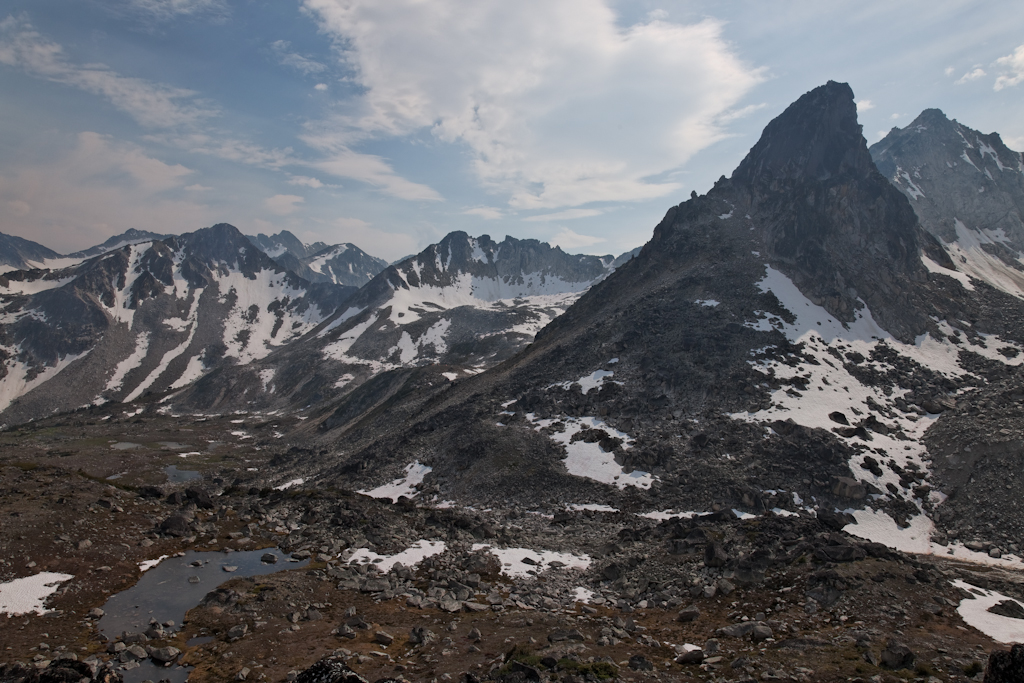
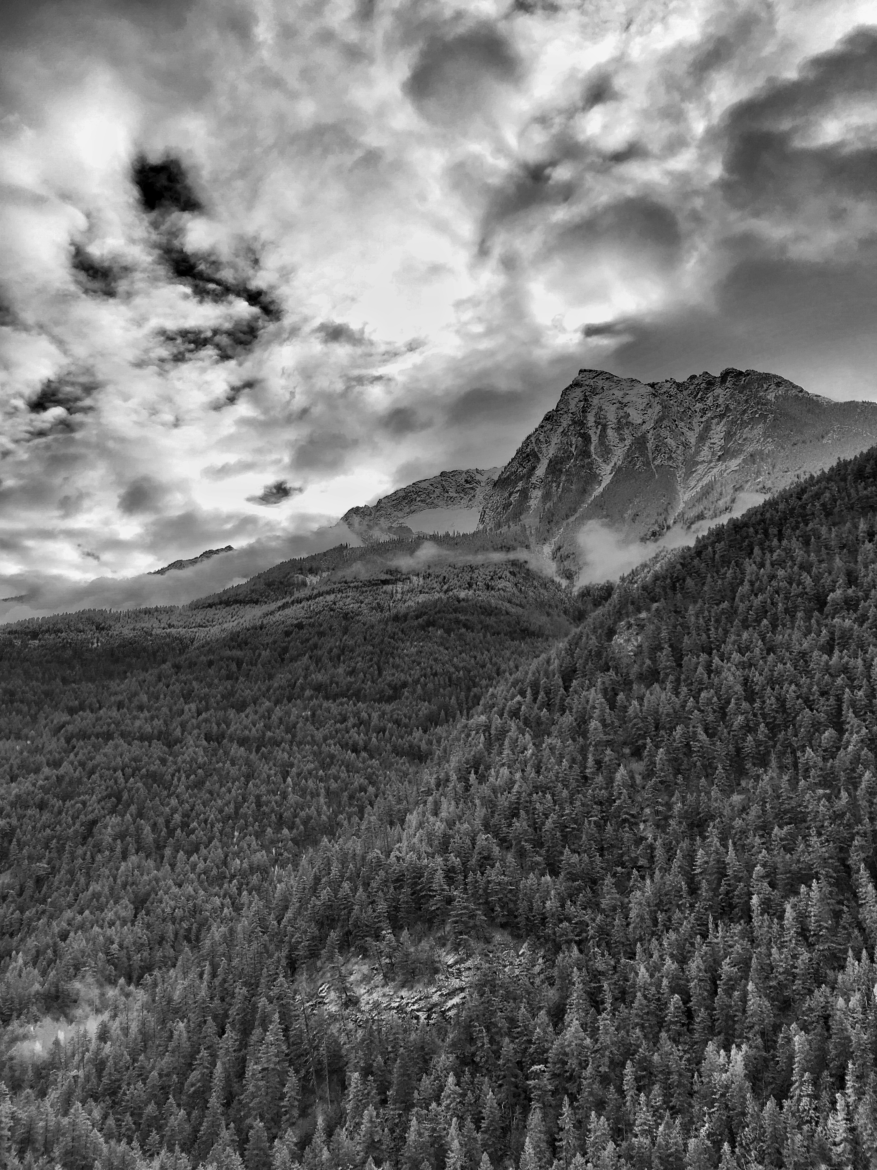
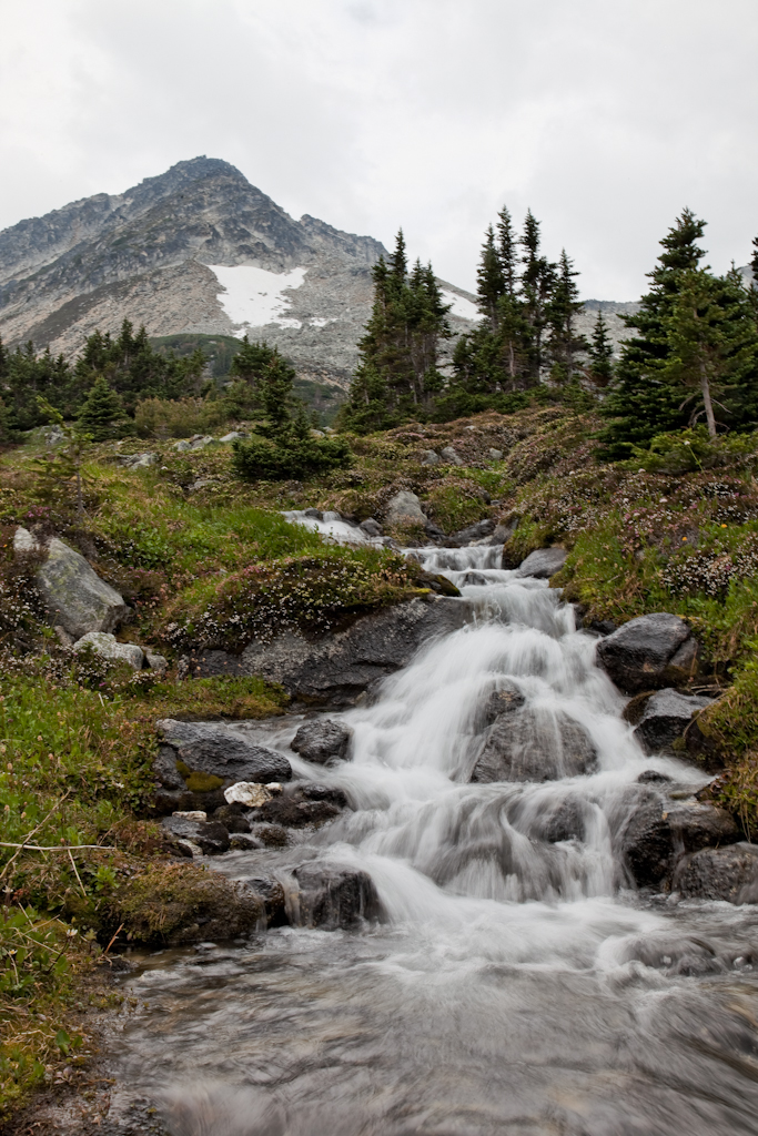
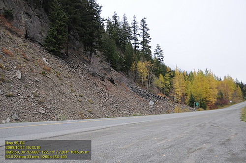
写真
2014 Day 213 - Tent View from Tarn Camp

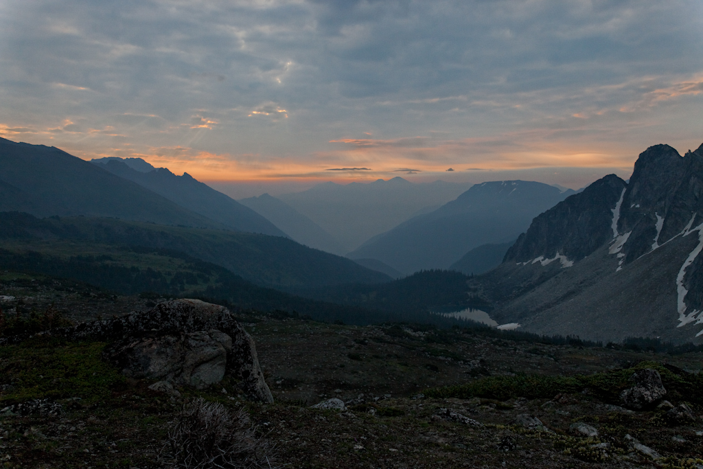
Morning over Melvin Divide
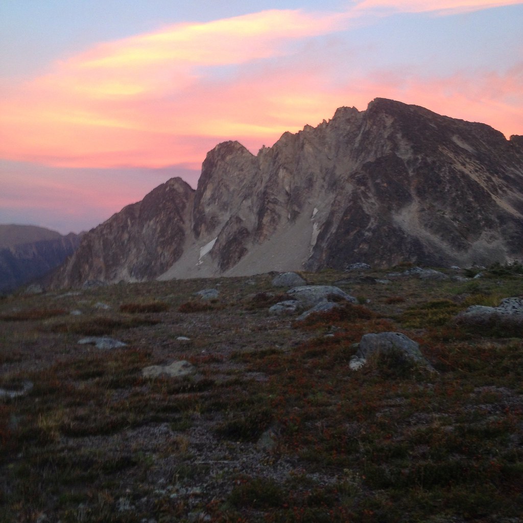
Smoky Sunrise
Long Road out of Whistler
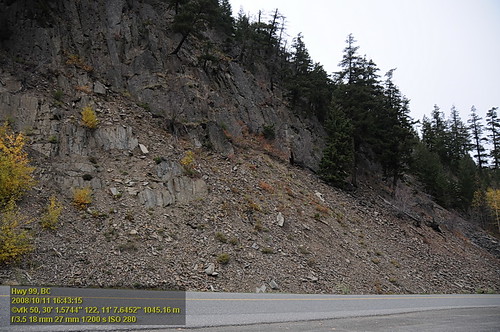
Hwy 99 VF2_9382.JPG
A view to camp
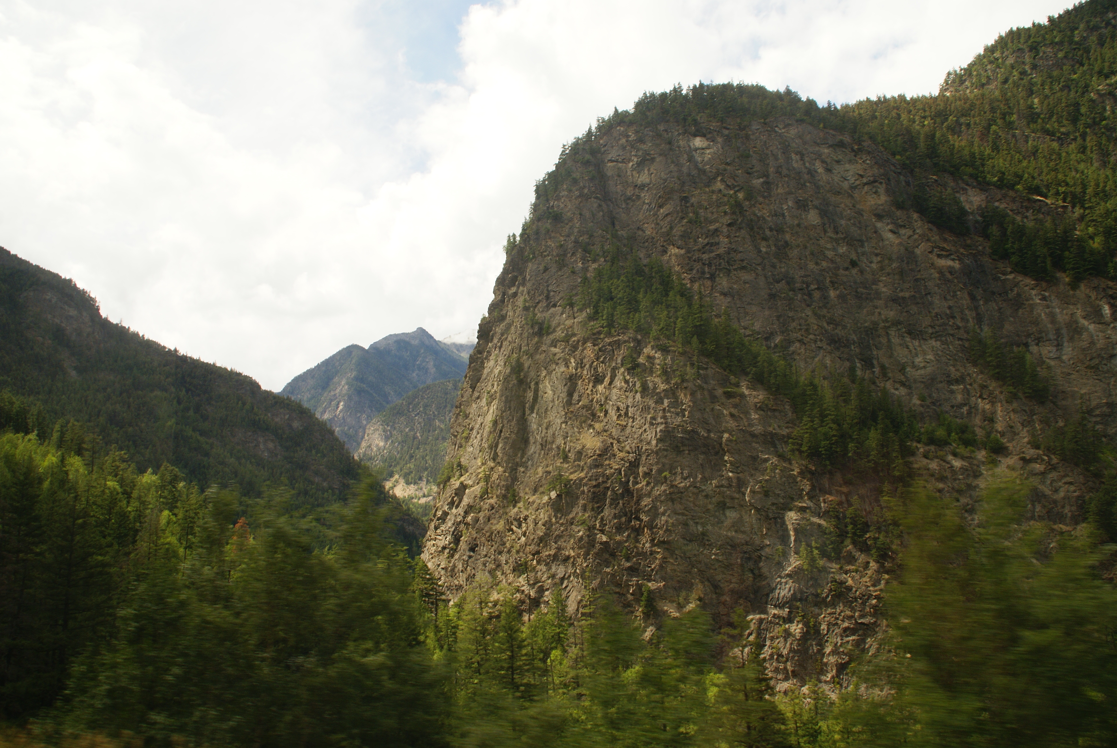
Fall View on Highway 99
Looking back to camp
Hwy 99 VF2_9383.JPG
カナダ 〒V0N ブリティッシュコロンビア州 スコーミッシュ=リロオエット B シートン山の地図
別の場所を検索
近所の場所
カナダ 〒V0K ブリティッシュコロンビア州 スコーミッシュ=リロオエット B ブリュ山
Jorgensen Rd, Lillooet, BC V0K 1V0 カナダ
カナダ 〒V0K 1Z0 ブリティッシュコロンビア州 トンプソン=ニコラ I メドー湖
カナダ 〒V0K ブリティッシュコロンビア州 トンプソン=ニコラ I ブラストリー山
カナダ 〒V0K ブリティッシュコロンビア州 トンプソン=ニコラ I ペスラッシュクハップ山
カナダ 〒V0K ブリティッシュコロンビア州 トンプソン=ニコラ I スキイスト山
St Georges Rd, Spences Bridge, BC V0K 2L0 カナダ
BC-12, Lytton, BC V0K 1Z0 カナダ
カナダ ブリティッシュコロンビア州 リットン
Main St, Lytton, BC V0K 1Z0 カナダLytton Hotel
Box, Botanie Valley Road, Lytton, BC V0K 1Z0 カナダBotanie Rock Farms
Merr-Spncs Br Hwy, Spences Bridge, BC V0K 2L0 カナダClapperton Ranch
カナダ ブリティッシュコロンビア州 トンプソン=ニコラ I
BC-1, Lytton, BC V0K 1Z0 カナダ
BC-1, Lytton, BC V0K 1Z0 カナダ
カナダ 〒V0K ブリティッシュコロンビア州 スペンシズ・ブリッジ
BC-1, Ashcroft, BC V0K 1A0 カナダ
カナダ ブリティッシュコロンビア州 フレイザー・バレー A
Station St, Spences Bridge, BC V0K 2L0 カナダ
カナダ ブリティッシュコロンビア州 キーファーズ
最近の検索
- アメリカ合衆国 アラスカ州 レッド・ドッグ・マイン日の出日の入り時間
- Am bhf, Borken, ドイツアム・バーンホーフ日の出日の入り時間
- 4th St E, Sonoma, CA, USA日の出日の入り時間
- Oakland Ave, Williamsport, PA アメリカ合衆国日の出日の入り時間
- Via Roma, Pieranica CR, イタリアローマ通り日の出日の入り時間
- クロアチア 〒 ドゥブロブニク GradClock Tower of Dubrovnik日の出日の入り時間
- アルゼンチン チュブ州 トレリュー日の出日の入り時間
- Hartfords Bluff Cir, Mt Pleasant, SC アメリカ合衆国日の出日の入り時間
- 日本、熊本県熊本市北区日の出日の入り時間
- 中華人民共和国 福州市 平潭県 平潭島日の出日の入り時間