Mohawk Ln, Amboy, WA アメリカ合衆国日の出日の入り時間
Location: アメリカ合衆国 > ワシントン州 > クラーク > アメリカ合衆国 ワシントン州 アンボーイ >
時間帯:
America/Los_Angeles
現地時間:
2025-07-13 06:55:34
経度:
-122.366036
緯度:
45.975198
今日の日の出時刻:
05:32:30 AM
今日の日の入時刻:
08:58:11 PM
今日の日長:
15h 25m 41s
明日の日の出時刻:
05:33:26 AM
明日の日の入時刻:
08:57:28 PM
明日の日長:
15h 24m 2s
すべて表示する
| 日付 | 日出 | 日没 | 日長 |
|---|---|---|---|
| 2025年01月01日 | 07:51:10 AM | 04:36:13 PM | 8h 45m 3s |
| 2025年01月02日 | 07:51:06 AM | 04:37:12 PM | 8h 46m 6s |
| 2025年01月03日 | 07:50:59 AM | 04:38:13 PM | 8h 47m 14s |
| 2025年01月04日 | 07:50:50 AM | 04:39:16 PM | 8h 48m 26s |
| 2025年01月05日 | 07:50:38 AM | 04:40:20 PM | 8h 49m 42s |
| 2025年01月06日 | 07:50:23 AM | 04:41:26 PM | 8h 51m 3s |
| 2025年01月07日 | 07:50:05 AM | 04:42:34 PM | 8h 52m 29s |
| 2025年01月08日 | 07:49:45 AM | 04:43:44 PM | 8h 53m 59s |
| 2025年01月09日 | 07:49:23 AM | 04:44:55 PM | 8h 55m 32s |
| 2025年01月10日 | 07:48:57 AM | 04:46:08 PM | 8h 57m 11s |
| 2025年01月11日 | 07:48:29 AM | 04:47:22 PM | 8h 58m 53s |
| 2025年01月12日 | 07:47:59 AM | 04:48:37 PM | 9h 0m 38s |
| 2025年01月13日 | 07:47:26 AM | 04:49:53 PM | 9h 2m 27s |
| 2025年01月14日 | 07:46:50 AM | 04:51:11 PM | 9h 4m 21s |
| 2025年01月15日 | 07:46:12 AM | 04:52:30 PM | 9h 6m 18s |
| 2025年01月16日 | 07:45:32 AM | 04:53:49 PM | 9h 8m 17s |
| 2025年01月17日 | 07:44:49 AM | 04:55:10 PM | 9h 10m 21s |
| 2025年01月18日 | 07:44:04 AM | 04:56:32 PM | 9h 12m 28s |
| 2025年01月19日 | 07:43:16 AM | 04:57:55 PM | 9h 14m 39s |
| 2025年01月20日 | 07:42:26 AM | 04:59:18 PM | 9h 16m 52s |
| 2025年01月21日 | 07:41:34 AM | 05:00:42 PM | 9h 19m 8s |
| 2025年01月22日 | 07:40:40 AM | 05:02:07 PM | 9h 21m 27s |
| 2025年01月23日 | 07:39:43 AM | 05:03:32 PM | 9h 23m 49s |
| 2025年01月24日 | 07:38:44 AM | 05:04:58 PM | 9h 26m 14s |
| 2025年01月25日 | 07:37:43 AM | 05:06:25 PM | 9h 28m 42s |
| 2025年01月26日 | 07:36:40 AM | 05:07:52 PM | 9h 31m 12s |
| 2025年01月27日 | 07:35:35 AM | 05:09:19 PM | 9h 33m 44s |
| 2025年01月28日 | 07:34:28 AM | 05:10:47 PM | 9h 36m 19s |
| 2025年01月29日 | 07:33:19 AM | 05:12:15 PM | 9h 38m 56s |
| 2025年01月30日 | 07:32:08 AM | 05:13:44 PM | 9h 41m 36s |
| 2025年01月31日 | 07:30:56 AM | 05:15:12 PM | 9h 44m 16s |
| 2025年02月01日 | 07:29:41 AM | 05:16:41 PM | 9h 47m 0s |
| 2025年02月02日 | 07:28:25 AM | 05:18:10 PM | 9h 49m 45s |
| 2025年02月03日 | 07:27:07 AM | 05:19:39 PM | 9h 52m 32s |
| 2025年02月04日 | 07:25:47 AM | 05:21:08 PM | 9h 55m 21s |
| 2025年02月05日 | 07:24:26 AM | 05:22:37 PM | 9h 58m 11s |
| 2025年02月06日 | 07:23:03 AM | 05:24:06 PM | 10h 1m 3s |
| 2025年02月07日 | 07:21:38 AM | 05:25:36 PM | 10h 3m 58s |
| 2025年02月08日 | 07:20:12 AM | 05:27:05 PM | 10h 6m 53s |
| 2025年02月09日 | 07:18:45 AM | 05:28:34 PM | 10h 9m 49s |
| 2025年02月10日 | 07:17:16 AM | 05:30:03 PM | 10h 12m 47s |
| 2025年02月11日 | 07:15:45 AM | 05:31:31 PM | 10h 15m 46s |
| 2025年02月12日 | 07:14:13 AM | 05:33:00 PM | 10h 18m 47s |
| 2025年02月13日 | 07:12:40 AM | 05:34:29 PM | 10h 21m 49s |
| 2025年02月14日 | 07:11:06 AM | 05:35:57 PM | 10h 24m 51s |
| 2025年02月15日 | 07:09:30 AM | 05:37:25 PM | 10h 27m 55s |
| 2025年02月16日 | 07:07:54 AM | 05:38:53 PM | 10h 30m 59s |
| 2025年02月17日 | 07:06:16 AM | 05:40:21 PM | 10h 34m 5s |
| 2025年02月18日 | 07:04:37 AM | 05:41:48 PM | 10h 37m 11s |
| 2025年02月19日 | 07:02:57 AM | 05:43:15 PM | 10h 40m 18s |
| 2025年02月20日 | 07:01:15 AM | 05:44:42 PM | 10h 43m 27s |
| 2025年02月21日 | 06:59:33 AM | 05:46:09 PM | 10h 46m 36s |
| 2025年02月22日 | 06:57:50 AM | 05:47:36 PM | 10h 49m 46s |
| 2025年02月23日 | 06:56:06 AM | 05:49:02 PM | 10h 52m 56s |
| 2025年02月24日 | 06:54:21 AM | 05:50:28 PM | 10h 56m 7s |
| 2025年02月25日 | 06:52:35 AM | 05:51:53 PM | 10h 59m 18s |
| 2025年02月26日 | 06:50:49 AM | 05:53:19 PM | 11h 2m 30s |
| 2025年02月27日 | 06:49:01 AM | 05:54:44 PM | 11h 5m 43s |
| 2025年02月28日 | 06:47:13 AM | 05:56:08 PM | 11h 8m 55s |
| 2025年03月01日 | 06:45:24 AM | 05:57:33 PM | 11h 12m 9s |
| 2025年03月02日 | 06:43:35 AM | 05:58:57 PM | 11h 15m 22s |
| 2025年03月03日 | 06:41:45 AM | 06:00:21 PM | 11h 18m 36s |
| 2025年03月04日 | 06:39:54 AM | 06:01:45 PM | 11h 21m 51s |
| 2025年03月05日 | 06:38:03 AM | 06:03:08 PM | 11h 25m 5s |
| 2025年03月06日 | 06:36:11 AM | 06:04:31 PM | 11h 28m 20s |
| 2025年03月07日 | 06:34:19 AM | 06:05:54 PM | 11h 31m 35s |
| 2025年03月08日 | 06:32:26 AM | 06:07:17 PM | 11h 34m 51s |
| 2025年03月09日 | 07:30:37 AM | 07:08:36 PM | 11h 37m 59s |
| 2025年03月10日 | 07:28:44 AM | 07:09:58 PM | 11h 41m 14s |
| 2025年03月11日 | 07:26:50 AM | 07:11:20 PM | 11h 44m 30s |
| 2025年03月12日 | 07:24:55 AM | 07:12:42 PM | 11h 47m 47s |
| 2025年03月13日 | 07:23:01 AM | 07:14:03 PM | 11h 51m 2s |
| 2025年03月14日 | 07:21:06 AM | 07:15:24 PM | 11h 54m 18s |
| 2025年03月15日 | 07:19:10 AM | 07:16:46 PM | 11h 57m 36s |
| 2025年03月16日 | 07:17:15 AM | 07:18:07 PM | 12h 0m 52s |
| 2025年03月17日 | 07:15:19 AM | 07:19:27 PM | 12h 4m 8s |
| 2025年03月18日 | 07:13:24 AM | 07:20:48 PM | 12h 7m 24s |
| 2025年03月19日 | 07:11:28 AM | 07:22:08 PM | 12h 10m 40s |
| 2025年03月20日 | 07:09:32 AM | 07:23:29 PM | 12h 13m 57s |
| 2025年03月21日 | 07:07:36 AM | 07:24:49 PM | 12h 17m 13s |
| 2025年03月22日 | 07:05:40 AM | 07:26:09 PM | 12h 20m 29s |
| 2025年03月23日 | 07:03:44 AM | 07:27:29 PM | 12h 23m 45s |
| 2025年03月24日 | 07:01:48 AM | 07:28:48 PM | 12h 27m 0s |
| 2025年03月25日 | 06:59:52 AM | 07:30:08 PM | 12h 30m 16s |
| 2025年03月26日 | 06:57:56 AM | 07:31:28 PM | 12h 33m 32s |
| 2025年03月27日 | 06:56:01 AM | 07:32:47 PM | 12h 36m 46s |
| 2025年03月28日 | 06:54:05 AM | 07:34:07 PM | 12h 40m 2s |
| 2025年03月29日 | 06:52:10 AM | 07:35:26 PM | 12h 43m 16s |
| 2025年03月30日 | 06:50:15 AM | 07:36:45 PM | 12h 46m 30s |
| 2025年03月31日 | 06:48:20 AM | 07:38:05 PM | 12h 49m 45s |
| 2025年04月01日 | 06:46:25 AM | 07:39:24 PM | 12h 52m 59s |
| 2025年04月02日 | 06:44:31 AM | 07:40:43 PM | 12h 56m 12s |
| 2025年04月03日 | 06:42:37 AM | 07:42:02 PM | 12h 59m 25s |
| 2025年04月04日 | 06:40:43 AM | 07:43:21 PM | 13h 2m 38s |
| 2025年04月05日 | 06:38:50 AM | 07:44:41 PM | 13h 5m 51s |
| 2025年04月06日 | 06:36:58 AM | 07:46:00 PM | 13h 9m 2s |
| 2025年04月07日 | 06:35:05 AM | 07:47:19 PM | 13h 12m 14s |
| 2025年04月08日 | 06:33:14 AM | 07:48:38 PM | 13h 15m 24s |
| 2025年04月09日 | 06:31:23 AM | 07:49:57 PM | 13h 18m 34s |
| 2025年04月10日 | 06:29:32 AM | 07:51:16 PM | 13h 21m 44s |
| 2025年04月11日 | 06:27:42 AM | 07:52:35 PM | 13h 24m 53s |
| 2025年04月12日 | 06:25:53 AM | 07:53:54 PM | 13h 28m 1s |
| 2025年04月13日 | 06:24:04 AM | 07:55:13 PM | 13h 31m 9s |
| 2025年04月14日 | 06:22:16 AM | 07:56:32 PM | 13h 34m 16s |
| 2025年04月15日 | 06:20:29 AM | 07:57:51 PM | 13h 37m 22s |
| 2025年04月16日 | 06:18:42 AM | 07:59:10 PM | 13h 40m 28s |
| 2025年04月17日 | 06:16:57 AM | 08:00:29 PM | 13h 43m 32s |
| 2025年04月18日 | 06:15:12 AM | 08:01:48 PM | 13h 46m 36s |
| 2025年04月19日 | 06:13:28 AM | 08:03:07 PM | 13h 49m 39s |
| 2025年04月20日 | 06:11:45 AM | 08:04:26 PM | 13h 52m 41s |
| 2025年04月21日 | 06:10:03 AM | 08:05:45 PM | 13h 55m 42s |
| 2025年04月22日 | 06:08:22 AM | 08:07:04 PM | 13h 58m 42s |
| 2025年04月23日 | 06:06:42 AM | 08:08:22 PM | 14h 1m 40s |
| 2025年04月24日 | 06:05:03 AM | 08:09:41 PM | 14h 4m 38s |
| 2025年04月25日 | 06:03:25 AM | 08:10:59 PM | 14h 7m 34s |
| 2025年04月26日 | 06:01:48 AM | 08:12:18 PM | 14h 10m 30s |
| 2025年04月27日 | 06:00:12 AM | 08:13:36 PM | 14h 13m 24s |
| 2025年04月28日 | 05:58:38 AM | 08:14:54 PM | 14h 16m 16s |
| 2025年04月29日 | 05:57:05 AM | 08:16:12 PM | 14h 19m 7s |
| 2025年04月30日 | 05:55:33 AM | 08:17:29 PM | 14h 21m 56s |
| 2025年05月01日 | 05:54:02 AM | 08:18:47 PM | 14h 24m 45s |
| 2025年05月02日 | 05:52:33 AM | 08:20:04 PM | 14h 27m 31s |
| 2025年05月03日 | 05:51:05 AM | 08:21:21 PM | 14h 30m 16s |
| 2025年05月04日 | 05:49:38 AM | 08:22:37 PM | 14h 32m 59s |
| 2025年05月05日 | 05:48:13 AM | 08:23:53 PM | 14h 35m 40s |
| 2025年05月06日 | 05:46:50 AM | 08:25:09 PM | 14h 38m 19s |
| 2025年05月07日 | 05:45:28 AM | 08:26:25 PM | 14h 40m 57s |
| 2025年05月08日 | 05:44:08 AM | 08:27:40 PM | 14h 43m 32s |
| 2025年05月09日 | 05:42:49 AM | 08:28:54 PM | 14h 46m 5s |
| 2025年05月10日 | 05:41:32 AM | 08:30:08 PM | 14h 48m 36s |
| 2025年05月11日 | 05:40:16 AM | 08:31:22 PM | 14h 51m 6s |
| 2025年05月12日 | 05:39:03 AM | 08:32:35 PM | 14h 53m 32s |
| 2025年05月13日 | 05:37:51 AM | 08:33:47 PM | 14h 55m 56s |
| 2025年05月14日 | 05:36:41 AM | 08:34:59 PM | 14h 58m 18s |
| 2025年05月15日 | 05:35:32 AM | 08:36:10 PM | 15h 0m 38s |
| 2025年05月16日 | 05:34:26 AM | 08:37:20 PM | 15h 2m 54s |
| 2025年05月17日 | 05:33:21 AM | 08:38:29 PM | 15h 5m 8s |
| 2025年05月18日 | 05:32:19 AM | 08:39:38 PM | 15h 7m 19s |
| 2025年05月19日 | 05:31:18 AM | 08:40:45 PM | 15h 9m 27s |
| 2025年05月20日 | 05:30:20 AM | 08:41:52 PM | 15h 11m 32s |
| 2025年05月21日 | 05:29:23 AM | 08:42:57 PM | 15h 13m 34s |
| 2025年05月22日 | 05:28:29 AM | 08:44:02 PM | 15h 15m 33s |
| 2025年05月23日 | 05:27:36 AM | 08:45:06 PM | 15h 17m 30s |
| 2025年05月24日 | 05:26:46 AM | 08:46:08 PM | 15h 19m 22s |
| 2025年05月25日 | 05:25:58 AM | 08:47:09 PM | 15h 21m 11s |
| 2025年05月26日 | 05:25:12 AM | 08:48:09 PM | 15h 22m 57s |
| 2025年05月27日 | 05:24:29 AM | 08:49:08 PM | 15h 24m 39s |
| 2025年05月28日 | 05:23:47 AM | 08:50:05 PM | 15h 26m 18s |
| 2025年05月29日 | 05:23:08 AM | 08:51:01 PM | 15h 27m 53s |
| 2025年05月30日 | 05:22:31 AM | 08:51:55 PM | 15h 29m 24s |
| 2025年05月31日 | 05:21:57 AM | 08:52:48 PM | 15h 30m 51s |
| 2025年06月01日 | 05:21:25 AM | 08:53:40 PM | 15h 32m 15s |
| 2025年06月02日 | 05:20:55 AM | 08:54:30 PM | 15h 33m 35s |
| 2025年06月03日 | 05:20:28 AM | 08:55:18 PM | 15h 34m 50s |
| 2025年06月04日 | 05:20:03 AM | 08:56:04 PM | 15h 36m 1s |
| 2025年06月05日 | 05:19:40 AM | 08:56:49 PM | 15h 37m 9s |
| 2025年06月06日 | 05:19:20 AM | 08:57:31 PM | 15h 38m 11s |
| 2025年06月07日 | 05:19:02 AM | 08:58:12 PM | 15h 39m 10s |
| 2025年06月08日 | 05:18:46 AM | 08:58:51 PM | 15h 40m 5s |
| 2025年06月09日 | 05:18:33 AM | 08:59:28 PM | 15h 40m 55s |
| 2025年06月10日 | 05:18:23 AM | 09:00:03 PM | 15h 41m 40s |
| 2025年06月11日 | 05:18:14 AM | 09:00:36 PM | 15h 42m 22s |
| 2025年06月12日 | 05:18:09 AM | 09:01:07 PM | 15h 42m 58s |
| 2025年06月13日 | 05:18:05 AM | 09:01:36 PM | 15h 43m 31s |
| 2025年06月14日 | 05:18:04 AM | 09:02:03 PM | 15h 43m 59s |
| 2025年06月15日 | 05:18:06 AM | 09:02:27 PM | 15h 44m 21s |
| 2025年06月16日 | 05:18:10 AM | 09:02:49 PM | 15h 44m 39s |
| 2025年06月17日 | 05:18:16 AM | 09:03:09 PM | 15h 44m 53s |
| 2025年06月18日 | 05:18:24 AM | 09:03:27 PM | 15h 45m 3s |
| 2025年06月19日 | 05:18:35 AM | 09:03:42 PM | 15h 45m 7s |
| 2025年06月20日 | 05:18:48 AM | 09:03:55 PM | 15h 45m 7s |
| 2025年06月21日 | 05:19:04 AM | 09:04:06 PM | 15h 45m 2s |
| 2025年06月22日 | 05:19:21 AM | 09:04:14 PM | 15h 44m 53s |
| 2025年06月23日 | 05:19:41 AM | 09:04:20 PM | 15h 44m 39s |
| 2025年06月24日 | 05:20:03 AM | 09:04:23 PM | 15h 44m 20s |
| 2025年06月25日 | 05:20:28 AM | 09:04:24 PM | 15h 43m 56s |
| 2025年06月26日 | 05:20:54 AM | 09:04:23 PM | 15h 43m 29s |
| 2025年06月27日 | 05:21:22 AM | 09:04:19 PM | 15h 42m 57s |
| 2025年06月28日 | 05:21:53 AM | 09:04:13 PM | 15h 42m 20s |
| 2025年06月29日 | 05:22:25 AM | 09:04:04 PM | 15h 41m 39s |
| 2025年06月30日 | 05:23:00 AM | 09:03:52 PM | 15h 40m 52s |
| 2025年07月01日 | 05:23:36 AM | 09:03:39 PM | 15h 40m 3s |
| 2025年07月02日 | 05:24:14 AM | 09:03:22 PM | 15h 39m 8s |
| 2025年07月03日 | 05:24:54 AM | 09:03:04 PM | 15h 38m 10s |
| 2025年07月04日 | 05:25:36 AM | 09:02:43 PM | 15h 37m 7s |
| 2025年07月05日 | 05:26:20 AM | 09:02:19 PM | 15h 35m 59s |
| 2025年07月06日 | 05:27:05 AM | 09:01:53 PM | 15h 34m 48s |
| 2025年07月07日 | 05:27:52 AM | 09:01:25 PM | 15h 33m 33s |
| 2025年07月08日 | 05:28:40 AM | 09:00:54 PM | 15h 32m 14s |
| 2025年07月09日 | 05:29:30 AM | 09:00:21 PM | 15h 30m 51s |
| 2025年07月10日 | 05:30:22 AM | 08:59:45 PM | 15h 29m 23s |
| 2025年07月11日 | 05:31:15 AM | 08:59:07 PM | 15h 27m 52s |
| 2025年07月12日 | 05:32:09 AM | 08:58:27 PM | 15h 26m 18s |
| 2025年07月13日 | 05:33:05 AM | 08:57:44 PM | 15h 24m 39s |
| 2025年07月14日 | 05:34:01 AM | 08:57:00 PM | 15h 22m 59s |
| 2025年07月15日 | 05:35:00 AM | 08:56:13 PM | 15h 21m 13s |
| 2025年07月16日 | 05:35:59 AM | 08:55:23 PM | 15h 19m 24s |
| 2025年07月17日 | 05:36:59 AM | 08:54:32 PM | 15h 17m 33s |
| 2025年07月18日 | 05:38:00 AM | 08:53:39 PM | 15h 15m 39s |
| 2025年07月19日 | 05:39:03 AM | 08:52:43 PM | 15h 13m 40s |
| 2025年07月20日 | 05:40:06 AM | 08:51:45 PM | 15h 11m 39s |
| 2025年07月21日 | 05:41:11 AM | 08:50:45 PM | 15h 9m 34s |
| 2025年07月22日 | 05:42:16 AM | 08:49:43 PM | 15h 7m 27s |
| 2025年07月23日 | 05:43:22 AM | 08:48:40 PM | 15h 5m 18s |
| 2025年07月24日 | 05:44:28 AM | 08:47:34 PM | 15h 3m 6s |
| 2025年07月25日 | 05:45:36 AM | 08:46:26 PM | 15h 0m 50s |
| 2025年07月26日 | 05:46:44 AM | 08:45:17 PM | 14h 58m 33s |
| 2025年07月27日 | 05:47:53 AM | 08:44:05 PM | 14h 56m 12s |
| 2025年07月28日 | 05:49:02 AM | 08:42:52 PM | 14h 53m 50s |
| 2025年07月29日 | 05:50:12 AM | 08:41:37 PM | 14h 51m 25s |
| 2025年07月30日 | 05:51:22 AM | 08:40:20 PM | 14h 48m 58s |
| 2025年07月31日 | 05:52:33 AM | 08:39:02 PM | 14h 46m 29s |
| 2025年08月01日 | 05:53:45 AM | 08:37:42 PM | 14h 43m 57s |
| 2025年08月02日 | 05:54:56 AM | 08:36:20 PM | 14h 41m 24s |
| 2025年08月03日 | 05:56:09 AM | 08:34:57 PM | 14h 38m 48s |
| 2025年08月04日 | 05:57:21 AM | 08:33:32 PM | 14h 36m 11s |
| 2025年08月05日 | 05:58:34 AM | 08:32:06 PM | 14h 33m 32s |
| 2025年08月06日 | 05:59:47 AM | 08:30:38 PM | 14h 30m 51s |
| 2025年08月07日 | 06:01:00 AM | 08:29:09 PM | 14h 28m 9s |
| 2025年08月08日 | 06:02:14 AM | 08:27:38 PM | 14h 25m 24s |
| 2025年08月09日 | 06:03:27 AM | 08:26:06 PM | 14h 22m 39s |
| 2025年08月10日 | 06:04:41 AM | 08:24:33 PM | 14h 19m 52s |
| 2025年08月11日 | 06:05:55 AM | 08:22:58 PM | 14h 17m 3s |
| 2025年08月12日 | 06:07:10 AM | 08:21:22 PM | 14h 14m 12s |
| 2025年08月13日 | 06:08:24 AM | 08:19:45 PM | 14h 11m 21s |
| 2025年08月14日 | 06:09:38 AM | 08:18:07 PM | 14h 8m 29s |
| 2025年08月15日 | 06:10:53 AM | 08:16:28 PM | 14h 5m 35s |
| 2025年08月16日 | 06:12:07 AM | 08:14:47 PM | 14h 2m 40s |
| 2025年08月17日 | 06:13:22 AM | 08:13:06 PM | 13h 59m 44s |
| 2025年08月18日 | 06:14:37 AM | 08:11:23 PM | 13h 56m 46s |
| 2025年08月19日 | 06:15:51 AM | 08:09:40 PM | 13h 53m 49s |
| 2025年08月20日 | 06:17:06 AM | 08:07:56 PM | 13h 50m 50s |
| 2025年08月21日 | 06:18:21 AM | 08:06:10 PM | 13h 47m 49s |
| 2025年08月22日 | 06:19:36 AM | 08:04:24 PM | 13h 44m 48s |
| 2025年08月23日 | 06:20:50 AM | 08:02:37 PM | 13h 41m 47s |
| 2025年08月24日 | 06:22:05 AM | 08:00:49 PM | 13h 38m 44s |
| 2025年08月25日 | 06:23:20 AM | 07:59:00 PM | 13h 35m 40s |
| 2025年08月26日 | 06:24:34 AM | 07:57:11 PM | 13h 32m 37s |
| 2025年08月27日 | 06:25:49 AM | 07:55:21 PM | 13h 29m 32s |
| 2025年08月28日 | 06:27:03 AM | 07:53:30 PM | 13h 26m 27s |
| 2025年08月29日 | 06:28:18 AM | 07:51:38 PM | 13h 23m 20s |
| 2025年08月30日 | 06:29:33 AM | 07:49:46 PM | 13h 20m 13s |
| 2025年08月31日 | 06:30:47 AM | 07:47:54 PM | 13h 17m 7s |
| 2025年09月01日 | 06:32:02 AM | 07:46:00 PM | 13h 13m 58s |
| 2025年09月02日 | 06:33:16 AM | 07:44:07 PM | 13h 10m 51s |
| 2025年09月03日 | 06:34:31 AM | 07:42:12 PM | 13h 7m 41s |
| 2025年09月04日 | 06:35:45 AM | 07:40:18 PM | 13h 4m 33s |
| 2025年09月05日 | 06:37:00 AM | 07:38:23 PM | 13h 1m 23s |
| 2025年09月06日 | 06:38:14 AM | 07:36:27 PM | 12h 58m 13s |
| 2025年09月07日 | 06:39:29 AM | 07:34:31 PM | 12h 55m 2s |
| 2025年09月08日 | 06:40:43 AM | 07:32:35 PM | 12h 51m 52s |
| 2025年09月09日 | 06:41:58 AM | 07:30:39 PM | 12h 48m 41s |
| 2025年09月10日 | 06:43:12 AM | 07:28:42 PM | 12h 45m 30s |
| 2025年09月11日 | 06:44:27 AM | 07:26:45 PM | 12h 42m 18s |
| 2025年09月12日 | 06:45:41 AM | 07:24:48 PM | 12h 39m 7s |
| 2025年09月13日 | 06:46:56 AM | 07:22:50 PM | 12h 35m 54s |
| 2025年09月14日 | 06:48:11 AM | 07:20:53 PM | 12h 32m 42s |
| 2025年09月15日 | 06:49:25 AM | 07:18:55 PM | 12h 29m 30s |
| 2025年09月16日 | 06:50:40 AM | 07:16:57 PM | 12h 26m 17s |
| 2025年09月17日 | 06:51:55 AM | 07:14:59 PM | 12h 23m 4s |
| 2025年09月18日 | 06:53:10 AM | 07:13:01 PM | 12h 19m 51s |
| 2025年09月19日 | 06:54:25 AM | 07:11:03 PM | 12h 16m 38s |
| 2025年09月20日 | 06:55:41 AM | 07:09:06 PM | 12h 13m 25s |
| 2025年09月21日 | 06:56:56 AM | 07:07:08 PM | 12h 10m 12s |
| 2025年09月22日 | 06:58:12 AM | 07:05:10 PM | 12h 6m 58s |
| 2025年09月23日 | 06:59:28 AM | 07:03:13 PM | 12h 3m 45s |
| 2025年09月24日 | 07:00:43 AM | 07:01:15 PM | 12h 0m 32s |
| 2025年09月25日 | 07:02:00 AM | 06:59:18 PM | 11h 57m 18s |
| 2025年09月26日 | 07:03:16 AM | 06:57:21 PM | 11h 54m 5s |
| 2025年09月27日 | 07:04:32 AM | 06:55:24 PM | 11h 50m 52s |
| 2025年09月28日 | 07:05:49 AM | 06:53:28 PM | 11h 47m 39s |
| 2025年09月29日 | 07:07:06 AM | 06:51:31 PM | 11h 44m 25s |
| 2025年09月30日 | 07:08:23 AM | 06:49:36 PM | 11h 41m 13s |
| 2025年10月01日 | 07:09:40 AM | 06:47:40 PM | 11h 38m 0s |
| 2025年10月02日 | 07:10:58 AM | 06:45:45 PM | 11h 34m 47s |
| 2025年10月03日 | 07:12:16 AM | 06:43:50 PM | 11h 31m 34s |
| 2025年10月04日 | 07:13:34 AM | 06:41:56 PM | 11h 28m 22s |
| 2025年10月05日 | 07:14:52 AM | 06:40:02 PM | 11h 25m 10s |
| 2025年10月06日 | 07:16:11 AM | 06:38:09 PM | 11h 21m 58s |
| 2025年10月07日 | 07:17:30 AM | 06:36:17 PM | 11h 18m 47s |
| 2025年10月08日 | 07:18:49 AM | 06:34:25 PM | 11h 15m 36s |
| 2025年10月09日 | 07:20:08 AM | 06:32:33 PM | 11h 12m 25s |
| 2025年10月10日 | 07:21:28 AM | 06:30:42 PM | 11h 9m 14s |
| 2025年10月11日 | 07:22:48 AM | 06:28:52 PM | 11h 6m 4s |
| 2025年10月12日 | 07:24:09 AM | 06:27:03 PM | 11h 2m 54s |
| 2025年10月13日 | 07:25:30 AM | 06:25:15 PM | 10h 59m 45s |
| 2025年10月14日 | 07:26:51 AM | 06:23:27 PM | 10h 56m 36s |
| 2025年10月15日 | 07:28:12 AM | 06:21:40 PM | 10h 53m 28s |
| 2025年10月16日 | 07:29:33 AM | 06:19:54 PM | 10h 50m 21s |
| 2025年10月17日 | 07:30:55 AM | 06:18:09 PM | 10h 47m 14s |
| 2025年10月18日 | 07:32:18 AM | 06:16:24 PM | 10h 44m 6s |
| 2025年10月19日 | 07:33:40 AM | 06:14:41 PM | 10h 41m 1s |
| 2025年10月20日 | 07:35:03 AM | 06:12:59 PM | 10h 37m 56s |
| 2025年10月21日 | 07:36:26 AM | 06:11:18 PM | 10h 34m 52s |
| 2025年10月22日 | 07:37:49 AM | 06:09:38 PM | 10h 31m 49s |
| 2025年10月23日 | 07:39:13 AM | 06:07:59 PM | 10h 28m 46s |
| 2025年10月24日 | 07:40:37 AM | 06:06:21 PM | 10h 25m 44s |
| 2025年10月25日 | 07:42:01 AM | 06:04:45 PM | 10h 22m 44s |
| 2025年10月26日 | 07:43:25 AM | 06:03:09 PM | 10h 19m 44s |
| 2025年10月27日 | 07:44:50 AM | 06:01:35 PM | 10h 16m 45s |
| 2025年10月28日 | 07:46:15 AM | 06:00:03 PM | 10h 13m 48s |
| 2025年10月29日 | 07:47:40 AM | 05:58:32 PM | 10h 10m 52s |
| 2025年10月30日 | 07:49:05 AM | 05:57:02 PM | 10h 7m 57s |
| 2025年10月31日 | 07:50:30 AM | 05:55:33 PM | 10h 5m 3s |
| 2025年11月01日 | 07:51:55 AM | 05:54:06 PM | 10h 2m 11s |
| 2025年11月02日 | 06:53:24 AM | 04:52:37 PM | 9h 59m 13s |
| 2025年11月03日 | 06:54:50 AM | 04:51:14 PM | 9h 56m 24s |
| 2025年11月04日 | 06:56:15 AM | 04:49:52 PM | 9h 53m 37s |
| 2025年11月05日 | 06:57:41 AM | 04:48:31 PM | 9h 50m 50s |
| 2025年11月06日 | 06:59:06 AM | 04:47:12 PM | 9h 48m 6s |
| 2025年11月07日 | 07:00:32 AM | 04:45:55 PM | 9h 45m 23s |
| 2025年11月08日 | 07:01:57 AM | 04:44:40 PM | 9h 42m 43s |
| 2025年11月09日 | 07:03:22 AM | 04:43:27 PM | 9h 40m 5s |
| 2025年11月10日 | 07:04:47 AM | 04:42:16 PM | 9h 37m 29s |
| 2025年11月11日 | 07:06:12 AM | 04:41:06 PM | 9h 34m 54s |
| 2025年11月12日 | 07:07:36 AM | 04:39:58 PM | 9h 32m 22s |
| 2025年11月13日 | 07:09:01 AM | 04:38:53 PM | 9h 29m 52s |
| 2025年11月14日 | 07:10:24 AM | 04:37:49 PM | 9h 27m 25s |
| 2025年11月15日 | 07:11:48 AM | 04:36:48 PM | 9h 25m 0s |
| 2025年11月16日 | 07:13:11 AM | 04:35:49 PM | 9h 22m 38s |
| 2025年11月17日 | 07:14:33 AM | 04:34:52 PM | 9h 20m 19s |
| 2025年11月18日 | 07:15:55 AM | 04:33:57 PM | 9h 18m 2s |
| 2025年11月19日 | 07:17:16 AM | 04:33:04 PM | 9h 15m 48s |
| 2025年11月20日 | 07:18:37 AM | 04:32:14 PM | 9h 13m 37s |
| 2025年11月21日 | 07:19:56 AM | 04:31:26 PM | 9h 11m 30s |
| 2025年11月22日 | 07:21:15 AM | 04:30:40 PM | 9h 9m 25s |
| 2025年11月23日 | 07:22:34 AM | 04:29:57 PM | 9h 7m 23s |
| 2025年11月24日 | 07:23:51 AM | 04:29:16 PM | 9h 5m 25s |
| 2025年11月25日 | 07:25:07 AM | 04:28:38 PM | 9h 3m 31s |
| 2025年11月26日 | 07:26:22 AM | 04:28:02 PM | 9h 1m 40s |
| 2025年11月27日 | 07:27:36 AM | 04:27:29 PM | 8h 59m 53s |
| 2025年11月28日 | 07:28:49 AM | 04:26:59 PM | 8h 58m 10s |
| 2025年11月29日 | 07:30:01 AM | 04:26:30 PM | 8h 56m 29s |
| 2025年11月30日 | 07:31:11 AM | 04:26:05 PM | 8h 54m 54s |
| 2025年12月01日 | 07:32:20 AM | 04:25:42 PM | 8h 53m 22s |
| 2025年12月02日 | 07:33:27 AM | 04:25:22 PM | 8h 51m 55s |
| 2025年12月03日 | 07:34:33 AM | 04:25:05 PM | 8h 50m 32s |
| 2025年12月04日 | 07:35:37 AM | 04:24:50 PM | 8h 49m 13s |
| 2025年12月05日 | 07:36:40 AM | 04:24:38 PM | 8h 47m 58s |
| 2025年12月06日 | 07:37:41 AM | 04:24:29 PM | 8h 46m 48s |
| 2025年12月07日 | 07:38:40 AM | 04:24:22 PM | 8h 45m 42s |
| 2025年12月08日 | 07:39:38 AM | 04:24:18 PM | 8h 44m 40s |
| 2025年12月09日 | 07:40:33 AM | 04:24:17 PM | 8h 43m 44s |
| 2025年12月10日 | 07:41:27 AM | 04:24:19 PM | 8h 42m 52s |
| 2025年12月11日 | 07:42:18 AM | 04:24:24 PM | 8h 42m 6s |
| 2025年12月12日 | 07:43:08 AM | 04:24:31 PM | 8h 41m 23s |
| 2025年12月13日 | 07:43:55 AM | 04:24:41 PM | 8h 40m 46s |
| 2025年12月14日 | 07:44:40 AM | 04:24:53 PM | 8h 40m 13s |
| 2025年12月15日 | 07:45:23 AM | 04:25:09 PM | 8h 39m 46s |
| 2025年12月16日 | 07:46:03 AM | 04:25:27 PM | 8h 39m 24s |
| 2025年12月17日 | 07:46:42 AM | 04:25:48 PM | 8h 39m 6s |
| 2025年12月18日 | 07:47:17 AM | 04:26:11 PM | 8h 38m 54s |
| 2025年12月19日 | 07:47:51 AM | 04:26:37 PM | 8h 38m 46s |
| 2025年12月20日 | 07:48:22 AM | 04:27:06 PM | 8h 38m 44s |
| 2025年12月21日 | 07:48:50 AM | 04:27:37 PM | 8h 38m 47s |
| 2025年12月22日 | 07:49:16 AM | 04:28:11 PM | 8h 38m 55s |
| 2025年12月23日 | 07:49:39 AM | 04:28:47 PM | 8h 39m 8s |
| 2025年12月24日 | 07:50:00 AM | 04:29:26 PM | 8h 39m 26s |
| 2025年12月25日 | 07:50:18 AM | 04:30:07 PM | 8h 39m 49s |
| 2025年12月26日 | 07:50:34 AM | 04:30:51 PM | 8h 40m 17s |
| 2025年12月27日 | 07:50:47 AM | 04:31:36 PM | 8h 40m 49s |
| 2025年12月28日 | 07:50:57 AM | 04:32:25 PM | 8h 41m 28s |
| 2025年12月29日 | 07:51:04 AM | 04:33:15 PM | 8h 42m 11s |
| 2025年12月30日 | 07:51:09 AM | 04:34:07 PM | 8h 42m 58s |
| 2025年12月31日 | 07:51:11 AM | 04:35:02 PM | 8h 43m 51s |
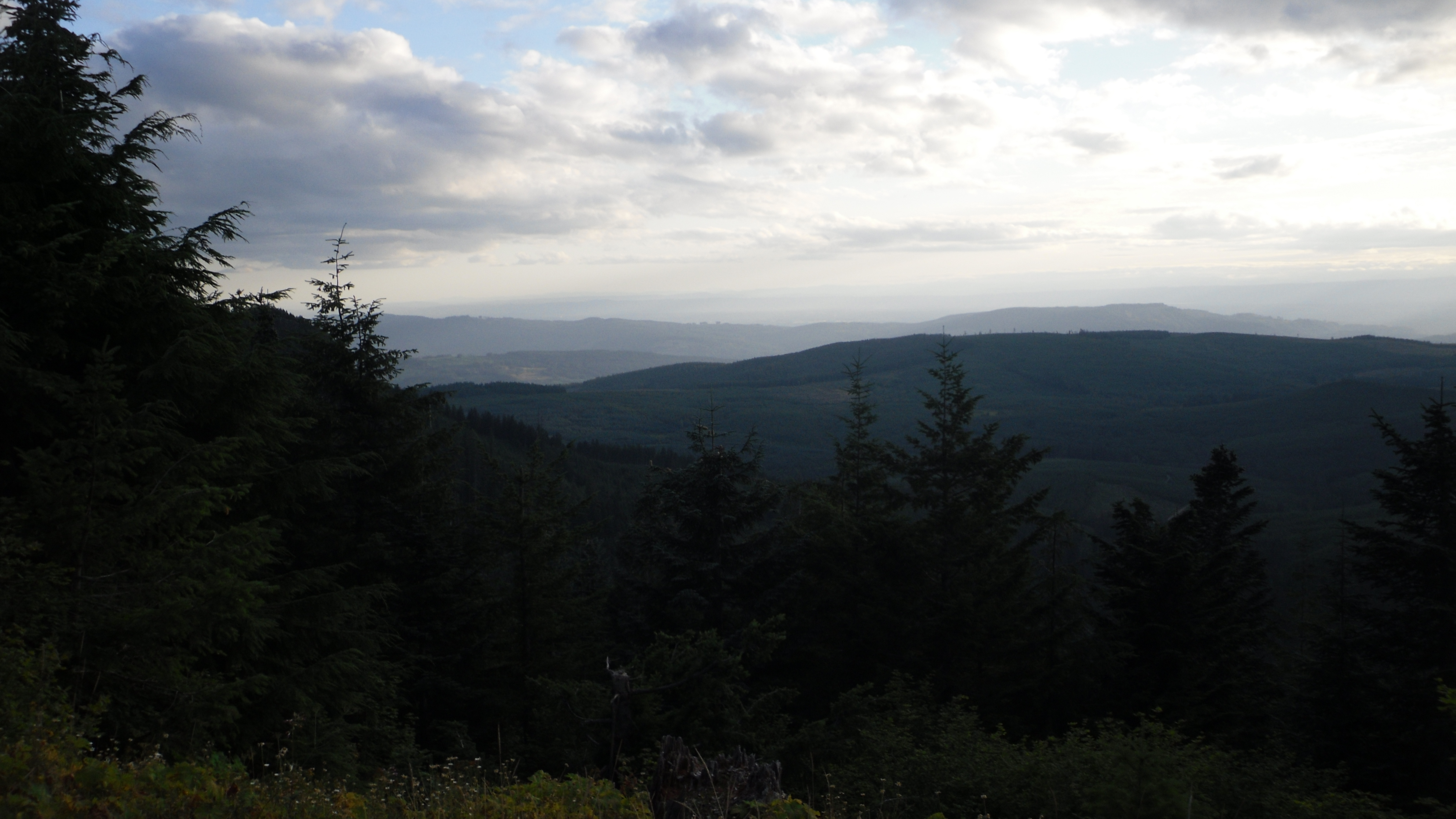
写真
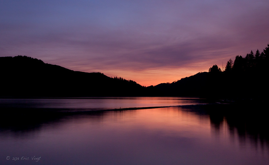
Lake Merwin Sunset
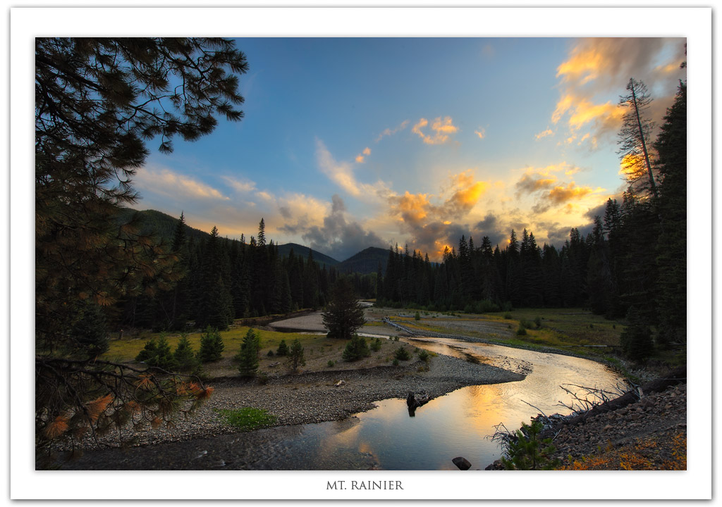
Mt. Rainier

night is approaching
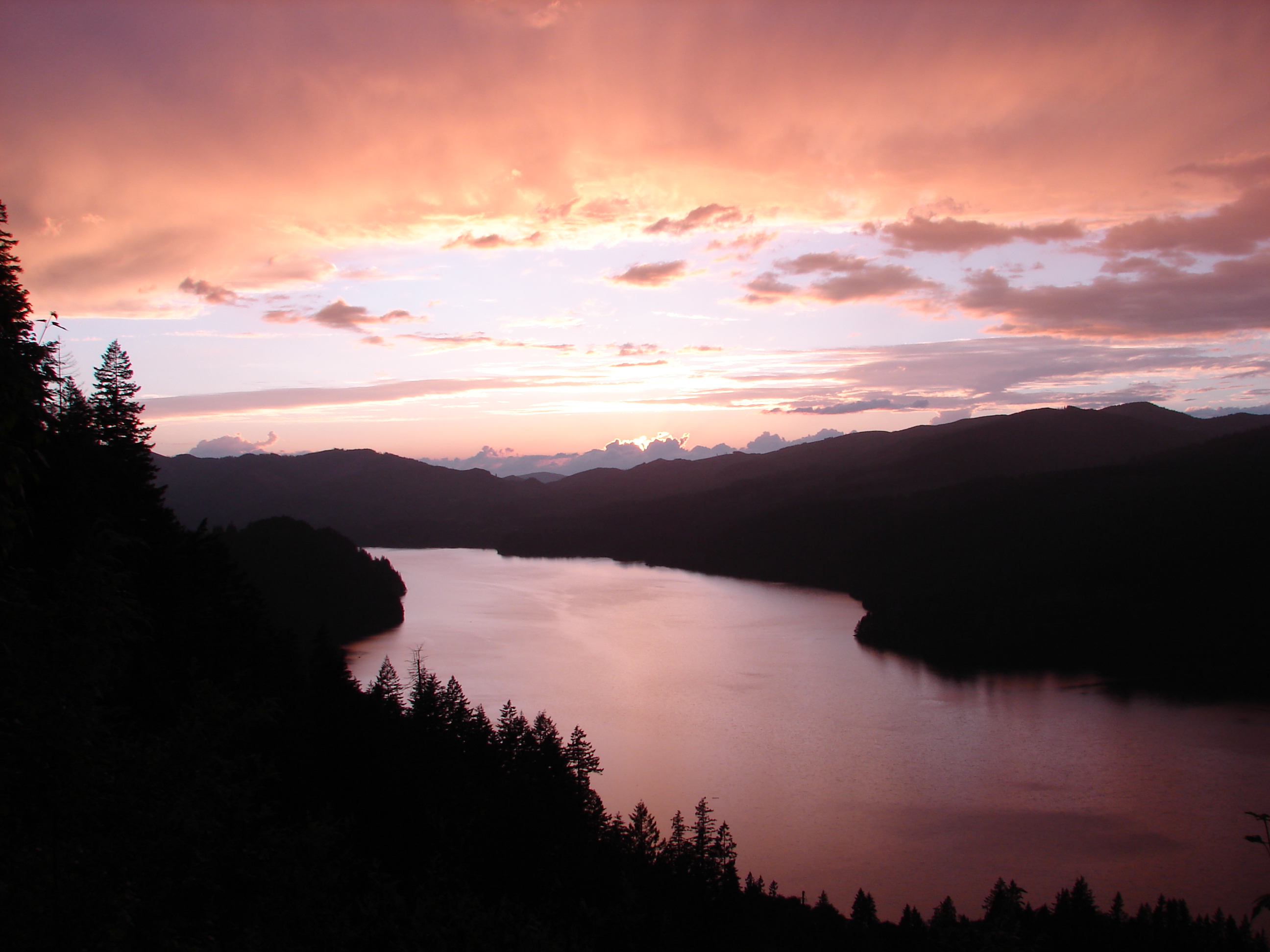
Lake Merwin

Sun Rays
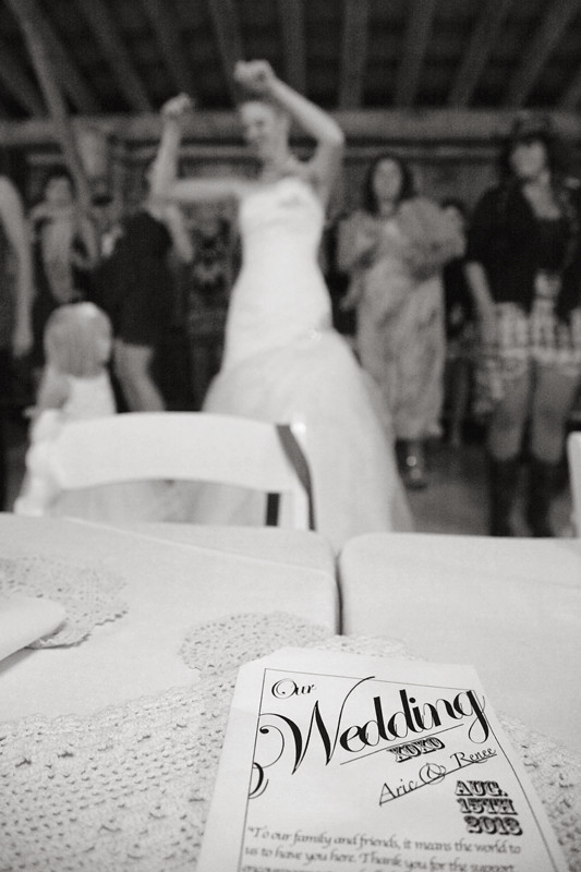
Wedding = Happiness + Fun

Moulton Falls State Park in Autumn (Yacolt, WA)

Healy Road in fog
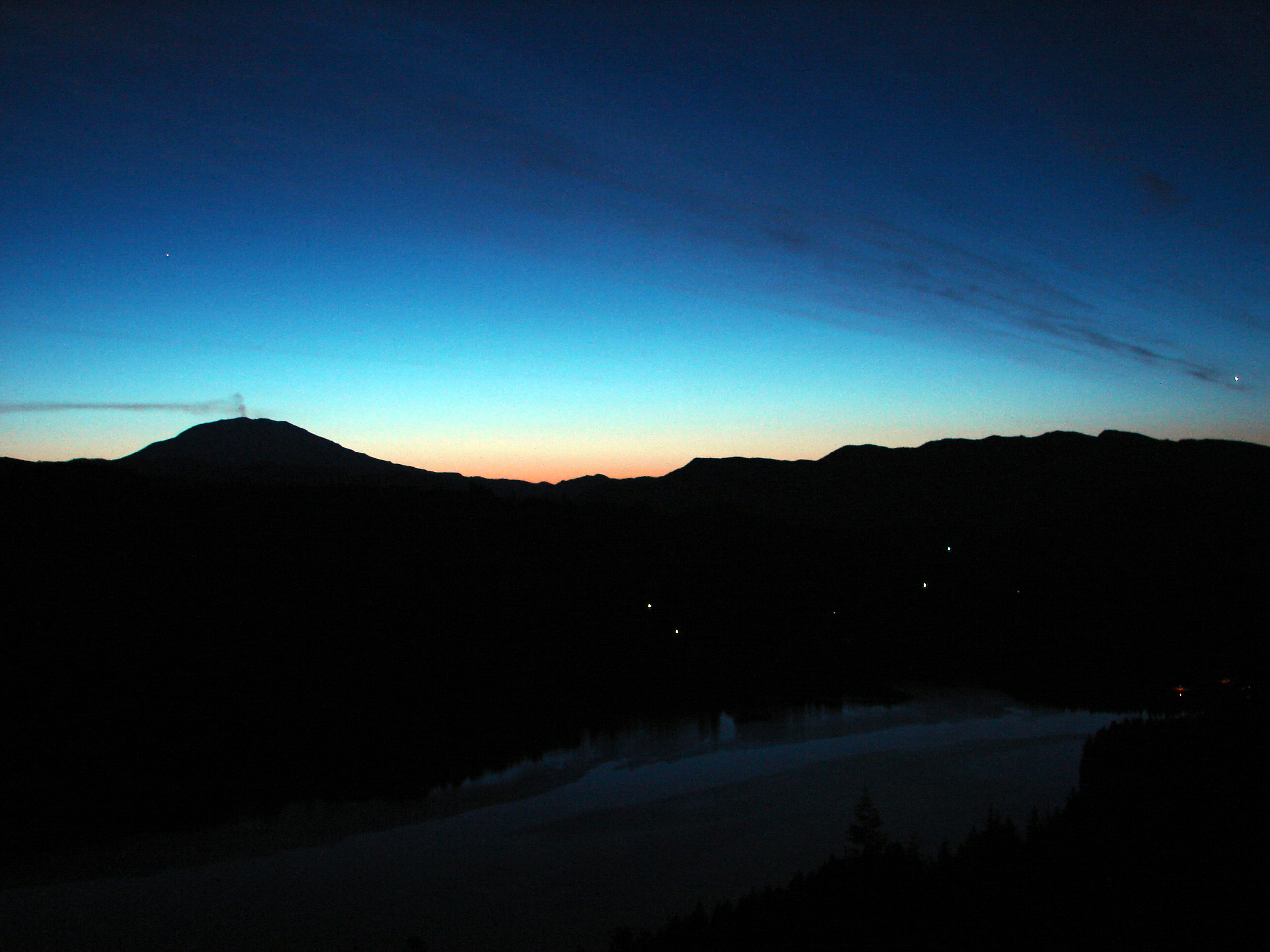
Sunrise over St. Helens
Marshmallow Mint
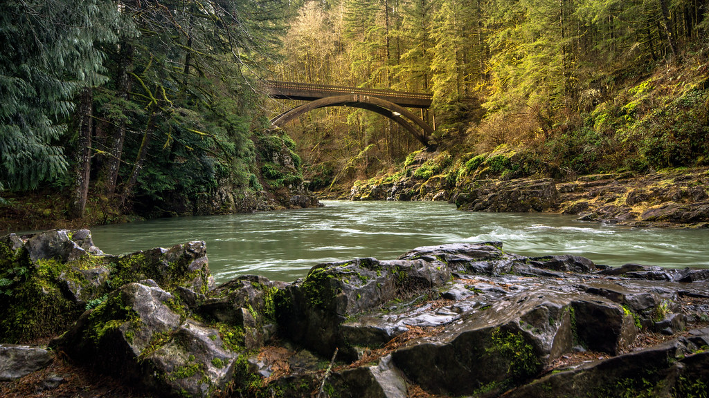
Moulton Falls Bridge
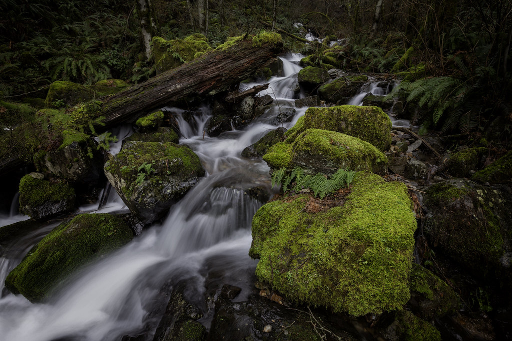
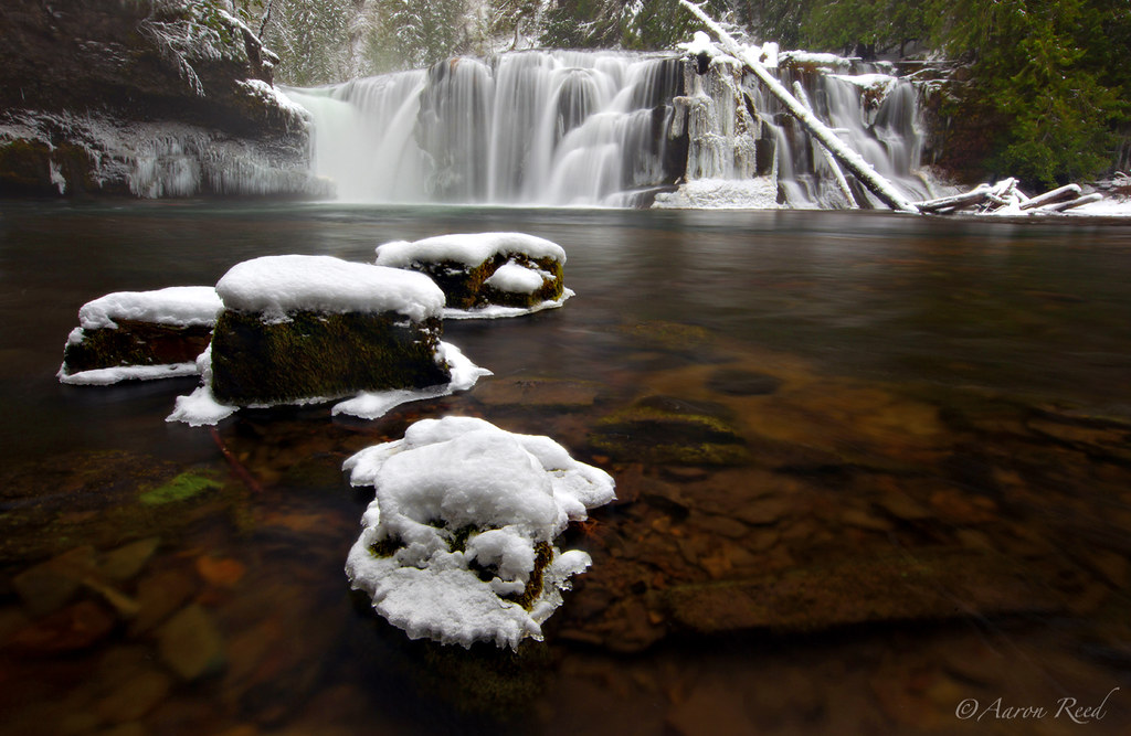
Marble Creek
Campsite View
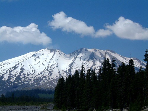
Mount Saint Helens
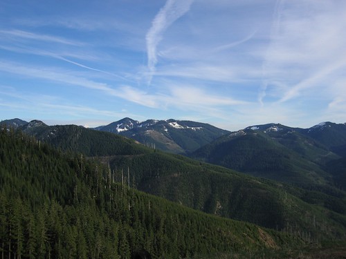
Blue Skies, Green Hills
Mohawk Ln, Amboy, WA アメリカ合衆国の地図
別の場所を検索
近所の場所
Saddle Rd, Amboy, WA アメリカ合衆国
Mohawk Ln, Amboy, WA アメリカ合衆国
Lewis River Rd, Ariel, WA アメリカ合衆国
Bald Eagle Rd, Ariel, WA アメリカ合衆国
Irene Ln, Ariel, WA アメリカ合衆国
Thurman Rd, Ariel, WA アメリカ合衆国
NE Columbia Tie Rd, Amboy, WA アメリカ合衆国レイク・マーウィン・キャンパーズ・ハイダウェイ
NE Columbia Tie Rd, Amboy, WA アメリカ合衆国
NE th Pl, Amboy, WA アメリカ合衆国
Rock Creek Rd, Ariel, WA アメリカ合衆国ロック・クリーク・ロード
NE Columbia Tie Rd, Amboy, WA アメリカ合衆国
NE Elliott Rd, Washington アメリカ合衆国ノースイースト・エリオット・ロード
NE Columbia Tie Rd, Amboy, WA アメリカ合衆国
NE Chelatchie Rd, Amboy, WA アメリカ合衆国Amboy Middle School
NE Cedar Creek Rd, Amboy, WA アメリカ合衆国
アメリカ合衆国 ワシントン州 マーウィン湖
アメリカ合衆国 ワシントン州 アンボーイ
NE th Ave, Amboy, WA アメリカ合衆国Amboy Market Inc
NE st Ave, Yacolt, WA アメリカ合衆国
NE Sloop Cir, Amboy, WA アメリカ合衆国
最近の検索
- アメリカ合衆国 アラスカ州 レッド・ドッグ・マイン日の出日の入り時間
- Am bhf, Borken, ドイツアム・バーンホーフ日の出日の入り時間
- 4th St E, Sonoma, CA, USA日の出日の入り時間
- Oakland Ave, Williamsport, PA アメリカ合衆国日の出日の入り時間
- Via Roma, Pieranica CR, イタリアローマ通り日の出日の入り時間
- クロアチア 〒 ドゥブロブニク GradClock Tower of Dubrovnik日の出日の入り時間
- アルゼンチン チュブ州 トレリュー日の出日の入り時間
- Hartfords Bluff Cir, Mt Pleasant, SC アメリカ合衆国日の出日の入り時間
- 日本、熊本県熊本市北区日の出日の入り時間
- 中華人民共和国 福州市 平潭県 平潭島日の出日の入り時間