Military Rd SE, Tenino, WA アメリカ合衆国日の出日の入り時間
Location: アメリカ合衆国 > ワシントン州 > サーストン > アメリカ合衆国 〒 ワシントン州 テニーノ >
時間帯:
America/Los_Angeles
現地時間:
2025-07-10 20:18:51
経度:
-122.753918
緯度:
46.8835849
今日の日の出時刻:
05:28:42 AM
今日の日の入時刻:
09:04:37 PM
今日の日長:
15h 35m 55s
明日の日の出時刻:
05:29:37 AM
明日の日の入時刻:
09:03:56 PM
明日の日長:
15h 34m 19s
すべて表示する
| 日付 | 日出 | 日没 | 日長 |
|---|---|---|---|
| 2025年01月01日 | 07:56:10 AM | 04:34:19 PM | 8h 38m 9s |
| 2025年01月02日 | 07:56:05 AM | 04:35:19 PM | 8h 39m 14s |
| 2025年01月03日 | 07:55:57 AM | 04:36:21 PM | 8h 40m 24s |
| 2025年01月04日 | 07:55:46 AM | 04:37:26 PM | 8h 41m 40s |
| 2025年01月05日 | 07:55:32 AM | 04:38:32 PM | 8h 43m 0s |
| 2025年01月06日 | 07:55:16 AM | 04:39:40 PM | 8h 44m 24s |
| 2025年01月07日 | 07:54:57 AM | 04:40:49 PM | 8h 45m 52s |
| 2025年01月08日 | 07:54:35 AM | 04:42:01 PM | 8h 47m 26s |
| 2025年01月09日 | 07:54:10 AM | 04:43:14 PM | 8h 49m 4s |
| 2025年01月10日 | 07:53:43 AM | 04:44:28 PM | 8h 50m 45s |
| 2025年01月11日 | 07:53:13 AM | 04:45:44 PM | 8h 52m 31s |
| 2025年01月12日 | 07:52:41 AM | 04:47:01 PM | 8h 54m 20s |
| 2025年01月13日 | 07:52:06 AM | 04:48:20 PM | 8h 56m 14s |
| 2025年01月14日 | 07:51:28 AM | 04:49:39 PM | 8h 58m 11s |
| 2025年01月15日 | 07:50:48 AM | 04:51:00 PM | 9h 0m 12s |
| 2025年01月16日 | 07:50:05 AM | 04:52:23 PM | 9h 2m 18s |
| 2025年01月17日 | 07:49:20 AM | 04:53:46 PM | 9h 4m 26s |
| 2025年01月18日 | 07:48:32 AM | 04:55:10 PM | 9h 6m 38s |
| 2025年01月19日 | 07:47:42 AM | 04:56:35 PM | 9h 8m 53s |
| 2025年01月20日 | 07:46:50 AM | 04:58:01 PM | 9h 11m 11s |
| 2025年01月21日 | 07:45:55 AM | 04:59:27 PM | 9h 13m 32s |
| 2025年01月22日 | 07:44:58 AM | 05:00:55 PM | 9h 15m 57s |
| 2025年01月23日 | 07:43:59 AM | 05:02:23 PM | 9h 18m 24s |
| 2025年01月24日 | 07:42:57 AM | 05:03:51 PM | 9h 20m 54s |
| 2025年01月25日 | 07:41:54 AM | 05:05:21 PM | 9h 23m 27s |
| 2025年01月26日 | 07:40:48 AM | 05:06:50 PM | 9h 26m 2s |
| 2025年01月27日 | 07:39:40 AM | 05:08:21 PM | 9h 28m 41s |
| 2025年01月28日 | 07:38:30 AM | 05:09:51 PM | 9h 31m 21s |
| 2025年01月29日 | 07:37:19 AM | 05:11:22 PM | 9h 34m 3s |
| 2025年01月30日 | 07:36:05 AM | 05:12:53 PM | 9h 36m 48s |
| 2025年01月31日 | 07:34:49 AM | 05:14:25 PM | 9h 39m 36s |
| 2025年02月01日 | 07:33:32 AM | 05:15:56 PM | 9h 42m 24s |
| 2025年02月02日 | 07:32:13 AM | 05:17:28 PM | 9h 45m 15s |
| 2025年02月03日 | 07:30:52 AM | 05:19:00 PM | 9h 48m 8s |
| 2025年02月04日 | 07:29:29 AM | 05:20:32 PM | 9h 51m 3s |
| 2025年02月05日 | 07:28:05 AM | 05:22:05 PM | 9h 54m 0s |
| 2025年02月06日 | 07:26:39 AM | 05:23:37 PM | 9h 56m 58s |
| 2025年02月07日 | 07:25:11 AM | 05:25:09 PM | 9h 59m 58s |
| 2025年02月08日 | 07:23:42 AM | 05:26:41 PM | 10h 2m 59s |
| 2025年02月09日 | 07:22:11 AM | 05:28:13 PM | 10h 6m 2s |
| 2025年02月10日 | 07:20:39 AM | 05:29:45 PM | 10h 9m 6s |
| 2025年02月11日 | 07:19:06 AM | 05:31:17 PM | 10h 12m 11s |
| 2025年02月12日 | 07:17:31 AM | 05:32:49 PM | 10h 15m 18s |
| 2025年02月13日 | 07:15:55 AM | 05:34:20 PM | 10h 18m 25s |
| 2025年02月14日 | 07:14:17 AM | 05:35:52 PM | 10h 21m 35s |
| 2025年02月15日 | 07:12:39 AM | 05:37:23 PM | 10h 24m 44s |
| 2025年02月16日 | 07:10:59 AM | 05:38:54 PM | 10h 27m 55s |
| 2025年02月17日 | 07:09:18 AM | 05:40:25 PM | 10h 31m 7s |
| 2025年02月18日 | 07:07:35 AM | 05:41:56 PM | 10h 34m 21s |
| 2025年02月19日 | 07:05:52 AM | 05:43:26 PM | 10h 37m 34s |
| 2025年02月20日 | 07:04:08 AM | 05:44:56 PM | 10h 40m 48s |
| 2025年02月21日 | 07:02:23 AM | 05:46:26 PM | 10h 44m 3s |
| 2025年02月22日 | 07:00:36 AM | 05:47:56 PM | 10h 47m 20s |
| 2025年02月23日 | 06:58:49 AM | 05:49:25 PM | 10h 50m 36s |
| 2025年02月24日 | 06:57:01 AM | 05:50:54 PM | 10h 53m 53s |
| 2025年02月25日 | 06:55:12 AM | 05:52:23 PM | 10h 57m 11s |
| 2025年02月26日 | 06:53:22 AM | 05:53:51 PM | 11h 0m 29s |
| 2025年02月27日 | 06:51:32 AM | 05:55:19 PM | 11h 3m 47s |
| 2025年02月28日 | 06:49:41 AM | 05:56:47 PM | 11h 7m 6s |
| 2025年03月01日 | 06:47:49 AM | 05:58:15 PM | 11h 10m 26s |
| 2025年03月02日 | 06:45:56 AM | 05:59:42 PM | 11h 13m 46s |
| 2025年03月03日 | 06:44:03 AM | 06:01:10 PM | 11h 17m 7s |
| 2025年03月04日 | 06:42:09 AM | 06:02:36 PM | 11h 20m 27s |
| 2025年03月05日 | 06:40:14 AM | 06:04:03 PM | 11h 23m 49s |
| 2025年03月06日 | 06:38:19 AM | 06:05:29 PM | 11h 27m 10s |
| 2025年03月07日 | 06:36:24 AM | 06:06:55 PM | 11h 30m 31s |
| 2025年03月08日 | 06:34:28 AM | 06:08:21 PM | 11h 33m 53s |
| 2025年03月09日 | 07:32:36 AM | 07:09:43 PM | 11h 37m 7s |
| 2025年03月10日 | 07:30:39 AM | 07:11:08 PM | 11h 40m 29s |
| 2025年03月11日 | 07:28:42 AM | 07:12:34 PM | 11h 43m 52s |
| 2025年03月12日 | 07:26:45 AM | 07:13:58 PM | 11h 47m 13s |
| 2025年03月13日 | 07:24:47 AM | 07:15:23 PM | 11h 50m 36s |
| 2025年03月14日 | 07:22:49 AM | 07:16:48 PM | 11h 53m 59s |
| 2025年03月15日 | 07:20:50 AM | 07:18:12 PM | 11h 57m 22s |
| 2025年03月16日 | 07:18:52 AM | 07:19:36 PM | 12h 0m 44s |
| 2025年03月17日 | 07:16:53 AM | 07:21:00 PM | 12h 4m 7s |
| 2025年03月18日 | 07:14:54 AM | 07:22:24 PM | 12h 7m 30s |
| 2025年03月19日 | 07:12:55 AM | 07:23:47 PM | 12h 10m 52s |
| 2025年03月20日 | 07:10:56 AM | 07:25:11 PM | 12h 14m 15s |
| 2025年03月21日 | 07:08:57 AM | 07:26:34 PM | 12h 17m 37s |
| 2025年03月22日 | 07:06:58 AM | 07:27:57 PM | 12h 20m 59s |
| 2025年03月23日 | 07:04:58 AM | 07:29:20 PM | 12h 24m 22s |
| 2025年03月24日 | 07:02:59 AM | 07:30:43 PM | 12h 27m 44s |
| 2025年03月25日 | 07:01:00 AM | 07:32:06 PM | 12h 31m 6s |
| 2025年03月26日 | 06:59:01 AM | 07:33:29 PM | 12h 34m 28s |
| 2025年03月27日 | 06:57:02 AM | 07:34:52 PM | 12h 37m 50s |
| 2025年03月28日 | 06:55:04 AM | 07:36:14 PM | 12h 41m 10s |
| 2025年03月29日 | 06:53:05 AM | 07:37:37 PM | 12h 44m 32s |
| 2025年03月30日 | 06:51:07 AM | 07:38:59 PM | 12h 47m 52s |
| 2025年03月31日 | 06:49:09 AM | 07:40:22 PM | 12h 51m 13s |
| 2025年04月01日 | 06:47:11 AM | 07:41:44 PM | 12h 54m 33s |
| 2025年04月02日 | 06:45:14 AM | 07:43:06 PM | 12h 57m 52s |
| 2025年04月03日 | 06:43:17 AM | 07:44:29 PM | 13h 1m 12s |
| 2025年04月04日 | 06:41:20 AM | 07:45:51 PM | 13h 4m 31s |
| 2025年04月05日 | 06:39:24 AM | 07:47:13 PM | 13h 7m 49s |
| 2025年04月06日 | 06:37:28 AM | 07:48:36 PM | 13h 11m 8s |
| 2025年04月07日 | 06:35:32 AM | 07:49:58 PM | 13h 14m 26s |
| 2025年04月08日 | 06:33:38 AM | 07:51:20 PM | 13h 17m 42s |
| 2025年04月09日 | 06:31:43 AM | 07:52:42 PM | 13h 20m 59s |
| 2025年04月10日 | 06:29:50 AM | 07:54:04 PM | 13h 24m 14s |
| 2025年04月11日 | 06:27:56 AM | 07:55:27 PM | 13h 27m 31s |
| 2025年04月12日 | 06:26:04 AM | 07:56:49 PM | 13h 30m 45s |
| 2025年04月13日 | 06:24:12 AM | 07:58:11 PM | 13h 33m 59s |
| 2025年04月14日 | 06:22:21 AM | 07:59:33 PM | 13h 37m 12s |
| 2025年04月15日 | 06:20:31 AM | 08:00:55 PM | 13h 40m 24s |
| 2025年04月16日 | 06:18:41 AM | 08:02:18 PM | 13h 43m 37s |
| 2025年04月17日 | 06:16:52 AM | 08:03:40 PM | 13h 46m 48s |
| 2025年04月18日 | 06:15:04 AM | 08:05:02 PM | 13h 49m 58s |
| 2025年04月19日 | 06:13:17 AM | 08:06:24 PM | 13h 53m 7s |
| 2025年04月20日 | 06:11:31 AM | 08:07:46 PM | 13h 56m 15s |
| 2025年04月21日 | 06:09:46 AM | 08:09:08 PM | 13h 59m 22s |
| 2025年04月22日 | 06:08:02 AM | 08:10:30 PM | 14h 2m 28s |
| 2025年04月23日 | 06:06:19 AM | 08:11:51 PM | 14h 5m 32s |
| 2025年04月24日 | 06:04:37 AM | 08:13:13 PM | 14h 8m 36s |
| 2025年04月25日 | 06:02:56 AM | 08:14:35 PM | 14h 11m 39s |
| 2025年04月26日 | 06:01:16 AM | 08:15:56 PM | 14h 14m 40s |
| 2025年04月27日 | 05:59:37 AM | 08:17:17 PM | 14h 17m 40s |
| 2025年04月28日 | 05:58:00 AM | 08:18:38 PM | 14h 20m 38s |
| 2025年04月29日 | 05:56:23 AM | 08:19:59 PM | 14h 23m 36s |
| 2025年04月30日 | 05:54:48 AM | 08:21:20 PM | 14h 26m 32s |
| 2025年05月01日 | 05:53:15 AM | 08:22:40 PM | 14h 29m 25s |
| 2025年05月02日 | 05:51:43 AM | 08:24:00 PM | 14h 32m 17s |
| 2025年05月03日 | 05:50:12 AM | 08:25:20 PM | 14h 35m 8s |
| 2025年05月04日 | 05:48:42 AM | 08:26:40 PM | 14h 37m 58s |
| 2025年05月05日 | 05:47:14 AM | 08:27:59 PM | 14h 40m 45s |
| 2025年05月06日 | 05:45:48 AM | 08:29:17 PM | 14h 43m 29s |
| 2025年05月07日 | 05:44:23 AM | 08:30:36 PM | 14h 46m 13s |
| 2025年05月08日 | 05:43:00 AM | 08:31:54 PM | 14h 48m 54s |
| 2025年05月09日 | 05:41:38 AM | 08:33:11 PM | 14h 51m 33s |
| 2025年05月10日 | 05:40:19 AM | 08:34:28 PM | 14h 54m 9s |
| 2025年05月11日 | 05:39:00 AM | 08:35:44 PM | 14h 56m 44s |
| 2025年05月12日 | 05:37:44 AM | 08:37:00 PM | 14h 59m 16s |
| 2025年05月13日 | 05:36:29 AM | 08:38:15 PM | 15h 1m 46s |
| 2025年05月14日 | 05:35:17 AM | 08:39:29 PM | 15h 4m 12s |
| 2025年05月15日 | 05:34:06 AM | 08:40:42 PM | 15h 6m 36s |
| 2025年05月16日 | 05:32:57 AM | 08:41:55 PM | 15h 8m 58s |
| 2025年05月17日 | 05:31:50 AM | 08:43:07 PM | 15h 11m 17s |
| 2025年05月18日 | 05:30:45 AM | 08:44:18 PM | 15h 13m 33s |
| 2025年05月19日 | 05:29:41 AM | 08:45:28 PM | 15h 15m 47s |
| 2025年05月20日 | 05:28:40 AM | 08:46:37 PM | 15h 17m 57s |
| 2025年05月21日 | 05:27:42 AM | 08:47:45 PM | 15h 20m 3s |
| 2025年05月22日 | 05:26:45 AM | 08:48:52 PM | 15h 22m 7s |
| 2025年05月23日 | 05:25:50 AM | 08:49:58 PM | 15h 24m 8s |
| 2025年05月24日 | 05:24:58 AM | 08:51:03 PM | 15h 26m 5s |
| 2025年05月25日 | 05:24:08 AM | 08:52:06 PM | 15h 27m 58s |
| 2025年05月26日 | 05:23:20 AM | 08:53:08 PM | 15h 29m 48s |
| 2025年05月27日 | 05:22:34 AM | 08:54:09 PM | 15h 31m 35s |
| 2025年05月28日 | 05:21:51 AM | 08:55:08 PM | 15h 33m 17s |
| 2025年05月29日 | 05:21:10 AM | 08:56:06 PM | 15h 34m 56s |
| 2025年05月30日 | 05:20:31 AM | 08:57:02 PM | 15h 36m 31s |
| 2025年05月31日 | 05:19:55 AM | 08:57:57 PM | 15h 38m 2s |
| 2025年06月01日 | 05:19:21 AM | 08:58:50 PM | 15h 39m 29s |
| 2025年06月02日 | 05:18:50 AM | 08:59:41 PM | 15h 40m 51s |
| 2025年06月03日 | 05:18:21 AM | 09:00:31 PM | 15h 42m 10s |
| 2025年06月04日 | 05:17:54 AM | 09:01:19 PM | 15h 43m 25s |
| 2025年06月05日 | 05:17:30 AM | 09:02:05 PM | 15h 44m 35s |
| 2025年06月06日 | 05:17:09 AM | 09:02:49 PM | 15h 45m 40s |
| 2025年06月07日 | 05:16:49 AM | 09:03:31 PM | 15h 46m 42s |
| 2025年06月08日 | 05:16:33 AM | 09:04:11 PM | 15h 47m 38s |
| 2025年06月09日 | 05:16:19 AM | 09:04:49 PM | 15h 48m 30s |
| 2025年06月10日 | 05:16:07 AM | 09:05:25 PM | 15h 49m 18s |
| 2025年06月11日 | 05:15:58 AM | 09:05:59 PM | 15h 50m 1s |
| 2025年06月12日 | 05:15:52 AM | 09:06:31 PM | 15h 50m 39s |
| 2025年06月13日 | 05:15:48 AM | 09:07:00 PM | 15h 51m 12s |
| 2025年06月14日 | 05:15:46 AM | 09:07:27 PM | 15h 51m 41s |
| 2025年06月15日 | 05:15:47 AM | 09:07:52 PM | 15h 52m 5s |
| 2025年06月16日 | 05:15:51 AM | 09:08:15 PM | 15h 52m 24s |
| 2025年06月17日 | 05:15:56 AM | 09:08:35 PM | 15h 52m 39s |
| 2025年06月18日 | 05:16:05 AM | 09:08:53 PM | 15h 52m 48s |
| 2025年06月19日 | 05:16:15 AM | 09:09:08 PM | 15h 52m 53s |
| 2025年06月20日 | 05:16:29 AM | 09:09:21 PM | 15h 52m 52s |
| 2025年06月21日 | 05:16:44 AM | 09:09:32 PM | 15h 52m 48s |
| 2025年06月22日 | 05:17:02 AM | 09:09:40 PM | 15h 52m 38s |
| 2025年06月23日 | 05:17:22 AM | 09:09:45 PM | 15h 52m 23s |
| 2025年06月24日 | 05:17:45 AM | 09:09:48 PM | 15h 52m 3s |
| 2025年06月25日 | 05:18:09 AM | 09:09:49 PM | 15h 51m 40s |
| 2025年06月26日 | 05:18:36 AM | 09:09:47 PM | 15h 51m 11s |
| 2025年06月27日 | 05:19:05 AM | 09:09:42 PM | 15h 50m 37s |
| 2025年06月28日 | 05:19:37 AM | 09:09:35 PM | 15h 49m 58s |
| 2025年06月29日 | 05:20:10 AM | 09:09:25 PM | 15h 49m 15s |
| 2025年06月30日 | 05:20:45 AM | 09:09:13 PM | 15h 48m 28s |
| 2025年07月01日 | 05:21:23 AM | 09:08:58 PM | 15h 47m 35s |
| 2025年07月02日 | 05:22:02 AM | 09:08:41 PM | 15h 46m 39s |
| 2025年07月03日 | 05:22:43 AM | 09:08:21 PM | 15h 45m 38s |
| 2025年07月04日 | 05:23:27 AM | 09:07:58 PM | 15h 44m 31s |
| 2025年07月05日 | 05:24:12 AM | 09:07:34 PM | 15h 43m 22s |
| 2025年07月06日 | 05:24:58 AM | 09:07:06 PM | 15h 42m 8s |
| 2025年07月07日 | 05:25:47 AM | 09:06:36 PM | 15h 40m 49s |
| 2025年07月08日 | 05:26:37 AM | 09:06:04 PM | 15h 39m 27s |
| 2025年07月09日 | 05:27:28 AM | 09:05:29 PM | 15h 38m 1s |
| 2025年07月10日 | 05:28:22 AM | 09:04:52 PM | 15h 36m 30s |
| 2025年07月11日 | 05:29:16 AM | 09:04:12 PM | 15h 34m 56s |
| 2025年07月12日 | 05:30:12 AM | 09:03:30 PM | 15h 33m 18s |
| 2025年07月13日 | 05:31:10 AM | 09:02:45 PM | 15h 31m 35s |
| 2025年07月14日 | 05:32:09 AM | 09:01:58 PM | 15h 29m 49s |
| 2025年07月15日 | 05:33:09 AM | 09:01:09 PM | 15h 28m 0s |
| 2025年07月16日 | 05:34:10 AM | 09:00:18 PM | 15h 26m 8s |
| 2025年07月17日 | 05:35:13 AM | 08:59:24 PM | 15h 24m 11s |
| 2025年07月18日 | 05:36:17 AM | 08:58:29 PM | 15h 22m 12s |
| 2025年07月19日 | 05:37:21 AM | 08:57:31 PM | 15h 20m 10s |
| 2025年07月20日 | 05:38:27 AM | 08:56:31 PM | 15h 18m 4s |
| 2025年07月21日 | 05:39:34 AM | 08:55:28 PM | 15h 15m 54s |
| 2025年07月22日 | 05:40:41 AM | 08:54:24 PM | 15h 13m 43s |
| 2025年07月23日 | 05:41:50 AM | 08:53:18 PM | 15h 11m 28s |
| 2025年07月24日 | 05:42:59 AM | 08:52:09 PM | 15h 9m 10s |
| 2025年07月25日 | 05:44:09 AM | 08:50:59 PM | 15h 6m 50s |
| 2025年07月26日 | 05:45:20 AM | 08:49:47 PM | 15h 4m 27s |
| 2025年07月27日 | 05:46:31 AM | 08:48:33 PM | 15h 2m 2s |
| 2025年07月28日 | 05:47:43 AM | 08:47:17 PM | 14h 59m 34s |
| 2025年07月29日 | 05:48:56 AM | 08:45:59 PM | 14h 57m 3s |
| 2025年07月30日 | 05:50:09 AM | 08:44:40 PM | 14h 54m 31s |
| 2025年07月31日 | 05:51:23 AM | 08:43:19 PM | 14h 51m 56s |
| 2025年08月01日 | 05:52:37 AM | 08:41:56 PM | 14h 49m 19s |
| 2025年08月02日 | 05:53:51 AM | 08:40:31 PM | 14h 46m 40s |
| 2025年08月03日 | 05:55:06 AM | 08:39:05 PM | 14h 43m 59s |
| 2025年08月04日 | 05:56:22 AM | 08:37:37 PM | 14h 41m 15s |
| 2025年08月05日 | 05:57:37 AM | 08:36:08 PM | 14h 38m 31s |
| 2025年08月06日 | 05:58:53 AM | 08:34:38 PM | 14h 35m 45s |
| 2025年08月07日 | 06:00:09 AM | 08:33:05 PM | 14h 32m 56s |
| 2025年08月08日 | 06:01:26 AM | 08:31:32 PM | 14h 30m 6s |
| 2025年08月09日 | 06:02:43 AM | 08:29:57 PM | 14h 27m 14s |
| 2025年08月10日 | 06:04:00 AM | 08:28:21 PM | 14h 24m 21s |
| 2025年08月11日 | 06:05:17 AM | 08:26:43 PM | 14h 21m 26s |
| 2025年08月12日 | 06:06:34 AM | 08:25:04 PM | 14h 18m 30s |
| 2025年08月13日 | 06:07:51 AM | 08:23:24 PM | 14h 15m 33s |
| 2025年08月14日 | 06:09:09 AM | 08:21:43 PM | 14h 12m 34s |
| 2025年08月15日 | 06:10:26 AM | 08:20:01 PM | 14h 9m 35s |
| 2025年08月16日 | 06:11:44 AM | 08:18:17 PM | 14h 6m 33s |
| 2025年08月17日 | 06:13:01 AM | 08:16:33 PM | 14h 3m 32s |
| 2025年08月18日 | 06:14:19 AM | 08:14:47 PM | 14h 0m 28s |
| 2025年08月19日 | 06:15:37 AM | 08:13:01 PM | 13h 57m 24s |
| 2025年08月20日 | 06:16:55 AM | 08:11:13 PM | 13h 54m 18s |
| 2025年08月21日 | 06:18:12 AM | 08:09:25 PM | 13h 51m 13s |
| 2025年08月22日 | 06:19:30 AM | 08:07:36 PM | 13h 48m 6s |
| 2025年08月23日 | 06:20:48 AM | 08:05:45 PM | 13h 44m 57s |
| 2025年08月24日 | 06:22:06 AM | 08:03:54 PM | 13h 41m 48s |
| 2025年08月25日 | 06:23:23 AM | 08:02:03 PM | 13h 38m 40s |
| 2025年08月26日 | 06:24:41 AM | 08:00:10 PM | 13h 35m 29s |
| 2025年08月27日 | 06:25:59 AM | 07:58:17 PM | 13h 32m 18s |
| 2025年08月28日 | 06:27:17 AM | 07:56:23 PM | 13h 29m 6s |
| 2025年08月29日 | 06:28:34 AM | 07:54:28 PM | 13h 25m 54s |
| 2025年08月30日 | 06:29:52 AM | 07:52:33 PM | 13h 22m 41s |
| 2025年08月31日 | 06:31:10 AM | 07:50:37 PM | 13h 19m 27s |
| 2025年09月01日 | 06:32:27 AM | 07:48:41 PM | 13h 16m 14s |
| 2025年09月02日 | 06:33:45 AM | 07:46:44 PM | 13h 12m 59s |
| 2025年09月03日 | 06:35:02 AM | 07:44:47 PM | 13h 9m 45s |
| 2025年09月04日 | 06:36:20 AM | 07:42:49 PM | 13h 6m 29s |
| 2025年09月05日 | 06:37:38 AM | 07:40:51 PM | 13h 3m 13s |
| 2025年09月06日 | 06:38:55 AM | 07:38:52 PM | 12h 59m 57s |
| 2025年09月07日 | 06:40:13 AM | 07:36:53 PM | 12h 56m 40s |
| 2025年09月08日 | 06:41:30 AM | 07:34:54 PM | 12h 53m 24s |
| 2025年09月09日 | 06:42:48 AM | 07:32:54 PM | 12h 50m 6s |
| 2025年09月10日 | 06:44:06 AM | 07:30:54 PM | 12h 46m 48s |
| 2025年09月11日 | 06:45:23 AM | 07:28:54 PM | 12h 43m 31s |
| 2025年09月12日 | 06:46:41 AM | 07:26:54 PM | 12h 40m 13s |
| 2025年09月13日 | 06:47:59 AM | 07:24:53 PM | 12h 36m 54s |
| 2025年09月14日 | 06:49:17 AM | 07:22:53 PM | 12h 33m 36s |
| 2025年09月15日 | 06:50:35 AM | 07:20:52 PM | 12h 30m 17s |
| 2025年09月16日 | 06:51:52 AM | 07:18:51 PM | 12h 26m 59s |
| 2025年09月17日 | 06:53:11 AM | 07:16:50 PM | 12h 23m 39s |
| 2025年09月18日 | 06:54:29 AM | 07:14:49 PM | 12h 20m 20s |
| 2025年09月19日 | 06:55:47 AM | 07:12:48 PM | 12h 17m 1s |
| 2025年09月20日 | 06:57:05 AM | 07:10:47 PM | 12h 13m 42s |
| 2025年09月21日 | 06:58:24 AM | 07:08:46 PM | 12h 10m 22s |
| 2025年09月22日 | 06:59:43 AM | 07:06:45 PM | 12h 7m 2s |
| 2025年09月23日 | 07:01:02 AM | 07:04:45 PM | 12h 3m 43s |
| 2025年09月24日 | 07:02:21 AM | 07:02:44 PM | 12h 0m 23s |
| 2025年09月25日 | 07:03:40 AM | 07:00:44 PM | 11h 57m 4s |
| 2025年09月26日 | 07:04:59 AM | 06:58:44 PM | 11h 53m 45s |
| 2025年09月27日 | 07:06:19 AM | 06:56:44 PM | 11h 50m 25s |
| 2025年09月28日 | 07:07:39 AM | 06:54:44 PM | 11h 47m 5s |
| 2025年09月29日 | 07:08:59 AM | 06:52:45 PM | 11h 43m 46s |
| 2025年09月30日 | 07:10:19 AM | 06:50:46 PM | 11h 40m 27s |
| 2025年10月01日 | 07:11:39 AM | 06:48:47 PM | 11h 37m 8s |
| 2025年10月02日 | 07:13:00 AM | 06:46:49 PM | 11h 33m 49s |
| 2025年10月03日 | 07:14:21 AM | 06:44:51 PM | 11h 30m 30s |
| 2025年10月04日 | 07:15:42 AM | 06:42:54 PM | 11h 27m 12s |
| 2025年10月05日 | 07:17:04 AM | 06:40:57 PM | 11h 23m 53s |
| 2025年10月06日 | 07:18:25 AM | 06:39:01 PM | 11h 20m 36s |
| 2025年10月07日 | 07:19:48 AM | 06:37:05 PM | 11h 17m 17s |
| 2025年10月08日 | 07:21:10 AM | 06:35:10 PM | 11h 14m 0s |
| 2025年10月09日 | 07:22:32 AM | 06:33:15 PM | 11h 10m 43s |
| 2025年10月10日 | 07:23:55 AM | 06:31:21 PM | 11h 7m 26s |
| 2025年10月11日 | 07:25:19 AM | 06:29:28 PM | 11h 4m 9s |
| 2025年10月12日 | 07:26:42 AM | 06:27:36 PM | 11h 0m 54s |
| 2025年10月13日 | 07:28:06 AM | 06:25:44 PM | 10h 57m 38s |
| 2025年10月14日 | 07:29:30 AM | 06:23:53 PM | 10h 54m 23s |
| 2025年10月15日 | 07:30:55 AM | 06:22:03 PM | 10h 51m 8s |
| 2025年10月16日 | 07:32:19 AM | 06:20:14 PM | 10h 47m 55s |
| 2025年10月17日 | 07:33:44 AM | 06:18:26 PM | 10h 44m 42s |
| 2025年10月18日 | 07:35:10 AM | 06:16:39 PM | 10h 41m 29s |
| 2025年10月19日 | 07:36:35 AM | 06:14:52 PM | 10h 38m 17s |
| 2025年10月20日 | 07:38:01 AM | 06:13:07 PM | 10h 35m 6s |
| 2025年10月21日 | 07:39:27 AM | 06:11:23 PM | 10h 31m 56s |
| 2025年10月22日 | 07:40:54 AM | 06:09:40 PM | 10h 28m 46s |
| 2025年10月23日 | 07:42:21 AM | 06:07:58 PM | 10h 25m 37s |
| 2025年10月24日 | 07:43:48 AM | 06:06:17 PM | 10h 22m 29s |
| 2025年10月25日 | 07:45:15 AM | 06:04:37 PM | 10h 19m 22s |
| 2025年10月26日 | 07:46:42 AM | 06:02:59 PM | 10h 16m 17s |
| 2025年10月27日 | 07:48:10 AM | 06:01:22 PM | 10h 13m 12s |
| 2025年10月28日 | 07:49:38 AM | 05:59:46 PM | 10h 10m 8s |
| 2025年10月29日 | 07:51:06 AM | 05:58:12 PM | 10h 7m 6s |
| 2025年10月30日 | 07:52:34 AM | 05:56:39 PM | 10h 4m 5s |
| 2025年10月31日 | 07:54:02 AM | 05:55:08 PM | 10h 1m 6s |
| 2025年11月01日 | 07:55:30 AM | 05:53:38 PM | 9h 58m 8s |
| 2025年11月02日 | 06:57:02 AM | 04:52:06 PM | 9h 55m 4s |
| 2025年11月03日 | 06:58:31 AM | 04:50:39 PM | 9h 52m 8s |
| 2025年11月04日 | 06:59:59 AM | 04:49:14 PM | 9h 49m 15s |
| 2025年11月05日 | 07:01:28 AM | 04:47:51 PM | 9h 46m 23s |
| 2025年11月06日 | 07:02:56 AM | 04:46:29 PM | 9h 43m 33s |
| 2025年11月07日 | 07:04:24 AM | 04:45:09 PM | 9h 40m 45s |
| 2025年11月08日 | 07:05:52 AM | 04:43:51 PM | 9h 37m 59s |
| 2025年11月09日 | 07:07:20 AM | 04:42:35 PM | 9h 35m 15s |
| 2025年11月10日 | 07:08:48 AM | 04:41:21 PM | 9h 32m 33s |
| 2025年11月11日 | 07:10:16 AM | 04:40:08 PM | 9h 29m 52s |
| 2025年11月12日 | 07:11:43 AM | 04:38:58 PM | 9h 27m 15s |
| 2025年11月13日 | 07:13:10 AM | 04:37:50 PM | 9h 24m 40s |
| 2025年11月14日 | 07:14:36 AM | 04:36:44 PM | 9h 22m 8s |
| 2025年11月15日 | 07:16:02 AM | 04:35:40 PM | 9h 19m 38s |
| 2025年11月16日 | 07:17:28 AM | 04:34:38 PM | 9h 17m 10s |
| 2025年11月17日 | 07:18:53 AM | 04:33:38 PM | 9h 14m 45s |
| 2025年11月18日 | 07:20:17 AM | 04:32:41 PM | 9h 12m 24s |
| 2025年11月19日 | 07:21:41 AM | 04:31:46 PM | 9h 10m 5s |
| 2025年11月20日 | 07:23:04 AM | 04:30:53 PM | 9h 7m 49s |
| 2025年11月21日 | 07:24:26 AM | 04:30:03 PM | 9h 5m 37s |
| 2025年11月22日 | 07:25:47 AM | 04:29:15 PM | 9h 3m 28s |
| 2025年11月23日 | 07:27:08 AM | 04:28:29 PM | 9h 1m 21s |
| 2025年11月24日 | 07:28:27 AM | 04:27:46 PM | 8h 59m 19s |
| 2025年11月25日 | 07:29:46 AM | 04:27:06 PM | 8h 57m 20s |
| 2025年11月26日 | 07:31:03 AM | 04:26:28 PM | 8h 55m 25s |
| 2025年11月27日 | 07:32:19 AM | 04:25:53 PM | 8h 53m 34s |
| 2025年11月28日 | 07:33:34 AM | 04:25:20 PM | 8h 51m 46s |
| 2025年11月29日 | 07:34:47 AM | 04:24:50 PM | 8h 50m 3s |
| 2025年11月30日 | 07:36:00 AM | 04:24:23 PM | 8h 48m 23s |
| 2025年12月01日 | 07:37:10 AM | 04:23:58 PM | 8h 46m 48s |
| 2025年12月02日 | 07:38:19 AM | 04:23:36 PM | 8h 45m 17s |
| 2025年12月03日 | 07:39:27 AM | 04:23:17 PM | 8h 43m 50s |
| 2025年12月04日 | 07:40:33 AM | 04:23:01 PM | 8h 42m 28s |
| 2025年12月05日 | 07:41:37 AM | 04:22:47 PM | 8h 41m 10s |
| 2025年12月06日 | 07:42:39 AM | 04:22:37 PM | 8h 39m 58s |
| 2025年12月07日 | 07:43:40 AM | 04:22:29 PM | 8h 38m 49s |
| 2025年12月08日 | 07:44:38 AM | 04:22:24 PM | 8h 37m 46s |
| 2025年12月09日 | 07:45:35 AM | 04:22:22 PM | 8h 36m 47s |
| 2025年12月10日 | 07:46:30 AM | 04:22:23 PM | 8h 35m 53s |
| 2025年12月11日 | 07:47:22 AM | 04:22:26 PM | 8h 35m 4s |
| 2025年12月12日 | 07:48:12 AM | 04:22:32 PM | 8h 34m 20s |
| 2025年12月13日 | 07:49:00 AM | 04:22:42 PM | 8h 33m 42s |
| 2025年12月14日 | 07:49:46 AM | 04:22:54 PM | 8h 33m 8s |
| 2025年12月15日 | 07:50:29 AM | 04:23:09 PM | 8h 32m 40s |
| 2025年12月16日 | 07:51:10 AM | 04:23:26 PM | 8h 32m 16s |
| 2025年12月17日 | 07:51:49 AM | 04:23:47 PM | 8h 31m 58s |
| 2025年12月18日 | 07:52:25 AM | 04:24:10 PM | 8h 31m 45s |
| 2025年12月19日 | 07:52:58 AM | 04:24:36 PM | 8h 31m 38s |
| 2025年12月20日 | 07:53:29 AM | 04:25:04 PM | 8h 31m 35s |
| 2025年12月21日 | 07:53:58 AM | 04:25:36 PM | 8h 31m 38s |
| 2025年12月22日 | 07:54:24 AM | 04:26:10 PM | 8h 31m 46s |
| 2025年12月23日 | 07:54:47 AM | 04:26:46 PM | 8h 31m 59s |
| 2025年12月24日 | 07:55:07 AM | 04:27:25 PM | 8h 32m 18s |
| 2025年12月25日 | 07:55:25 AM | 04:28:07 PM | 8h 32m 42s |
| 2025年12月26日 | 07:55:40 AM | 04:28:51 PM | 8h 33m 11s |
| 2025年12月27日 | 07:55:52 AM | 04:29:37 PM | 8h 33m 45s |
| 2025年12月28日 | 07:56:01 AM | 04:30:26 PM | 8h 34m 25s |
| 2025年12月29日 | 07:56:08 AM | 04:31:18 PM | 8h 35m 10s |
| 2025年12月30日 | 07:56:12 AM | 04:32:11 PM | 8h 35m 59s |
| 2025年12月31日 | 07:56:13 AM | 04:33:07 PM | 8h 36m 54s |
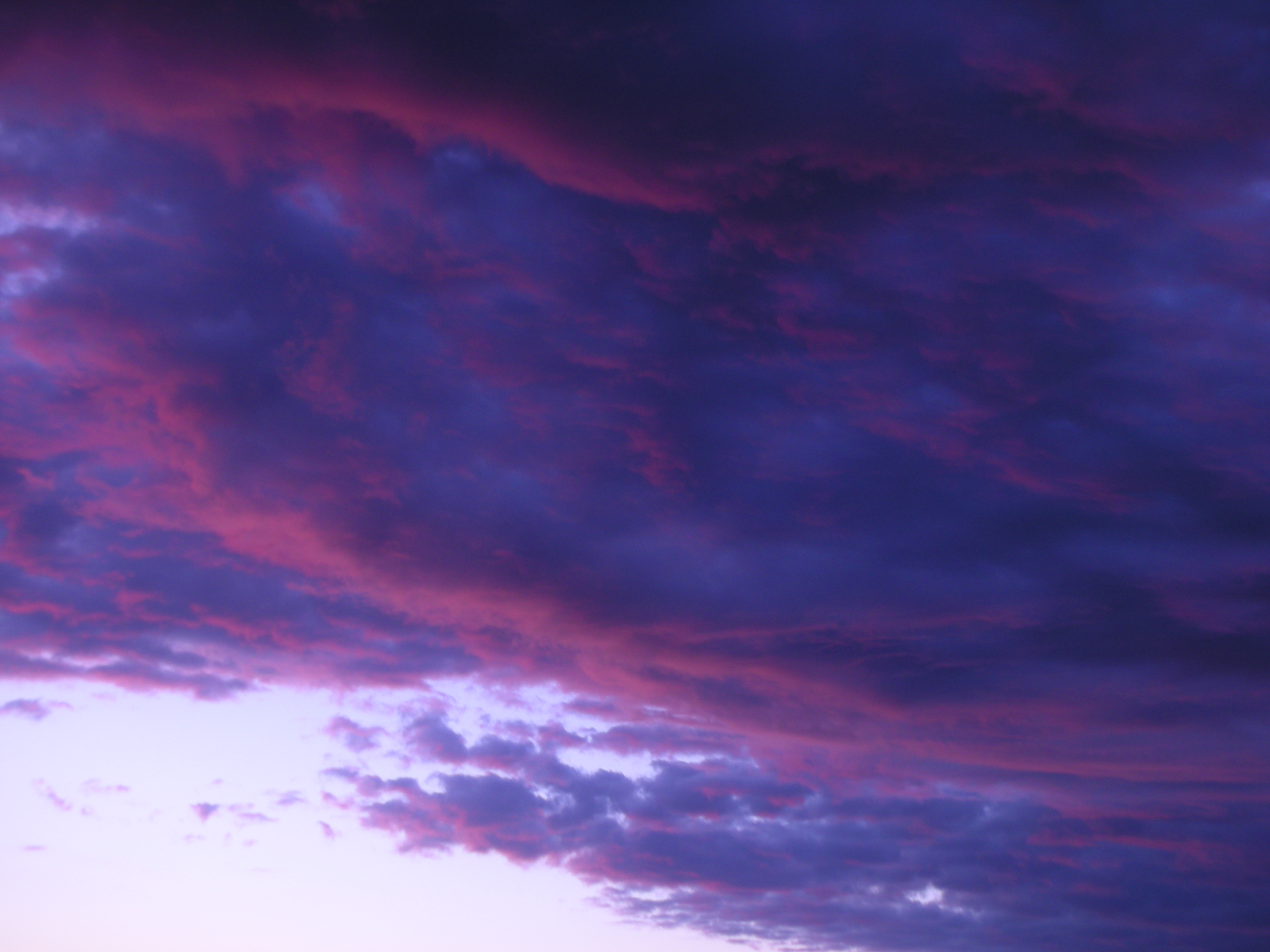
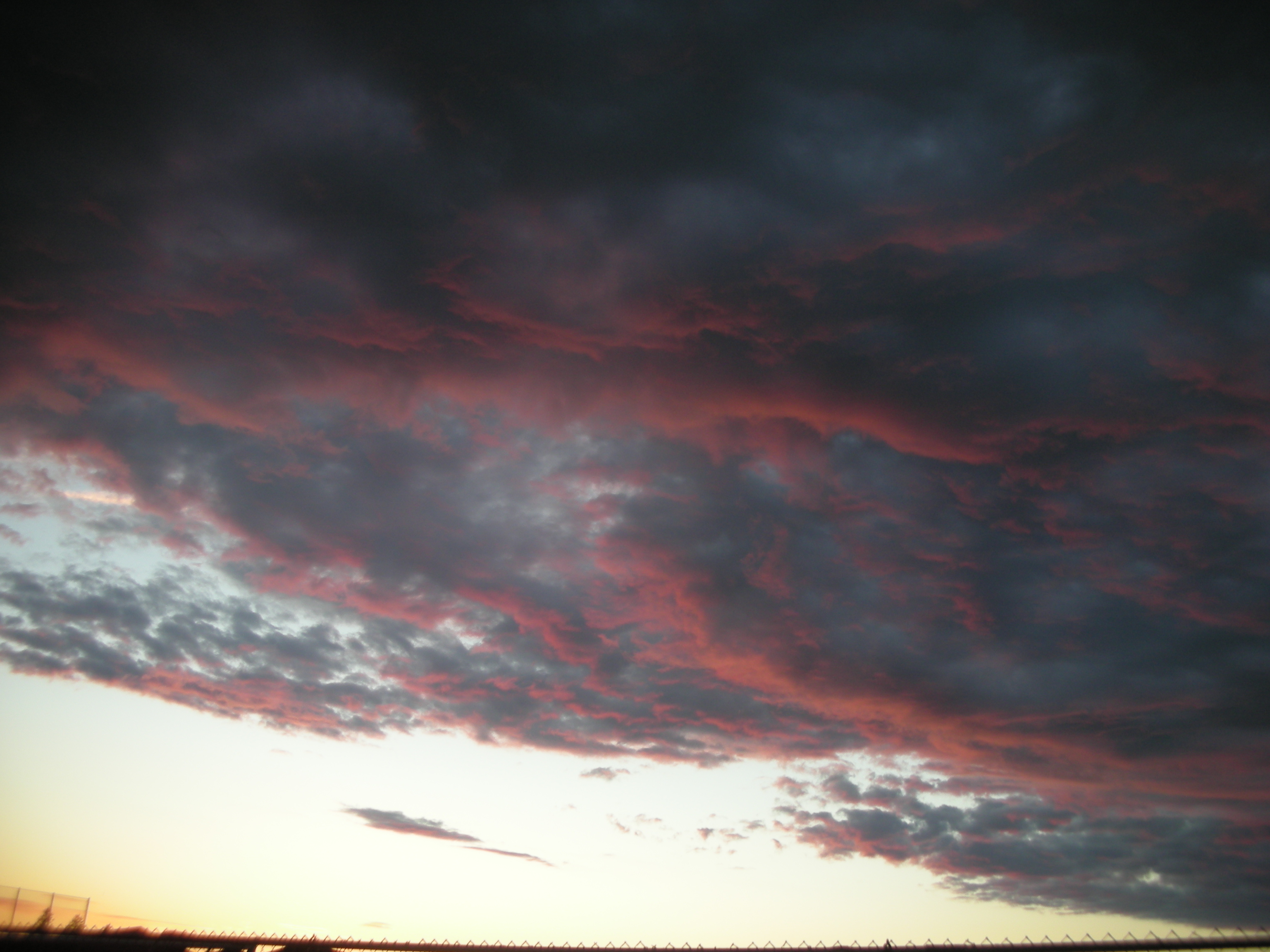
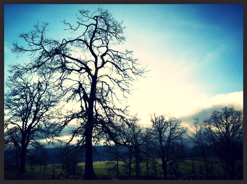
写真
Island and Cattails
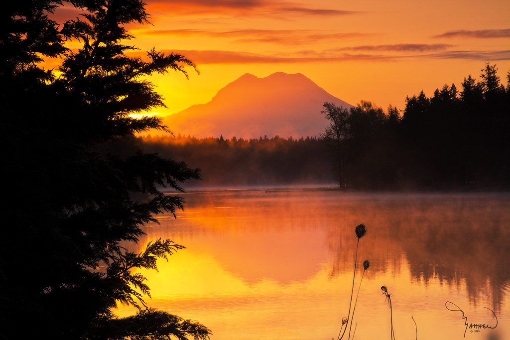
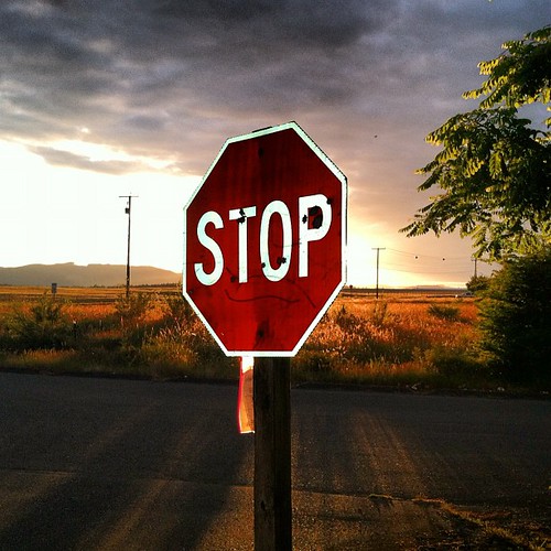
Mt Rainier at Sunset

they made a pretty sweet lookin...
Dang sunrise you sure looked good this morning. #nofilter

Chehalis Western Trail
Island on Fire
Saturday morning
they made a pretty sweet lookin golf course out of an old granite factory
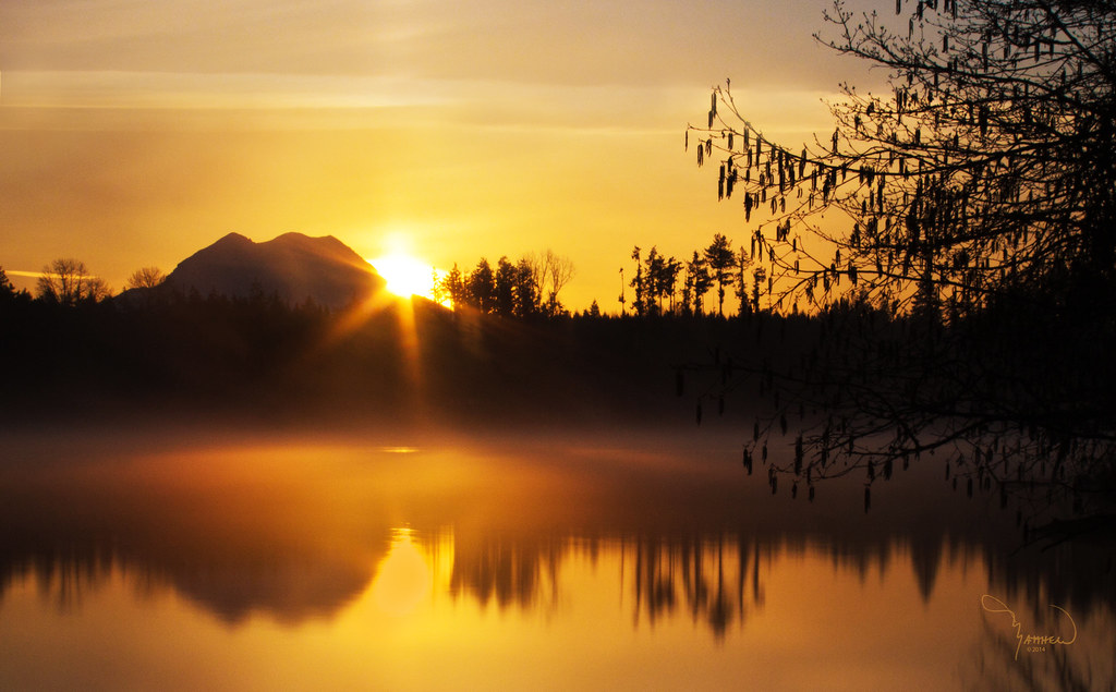
Sunrise, Lawrence lake and Mt Rainier

Mt Rainier at Lawrence Lake
Yelm sunset

Oh my. #cloudporn #seattleadventure #kellycon2
Yelm sunset
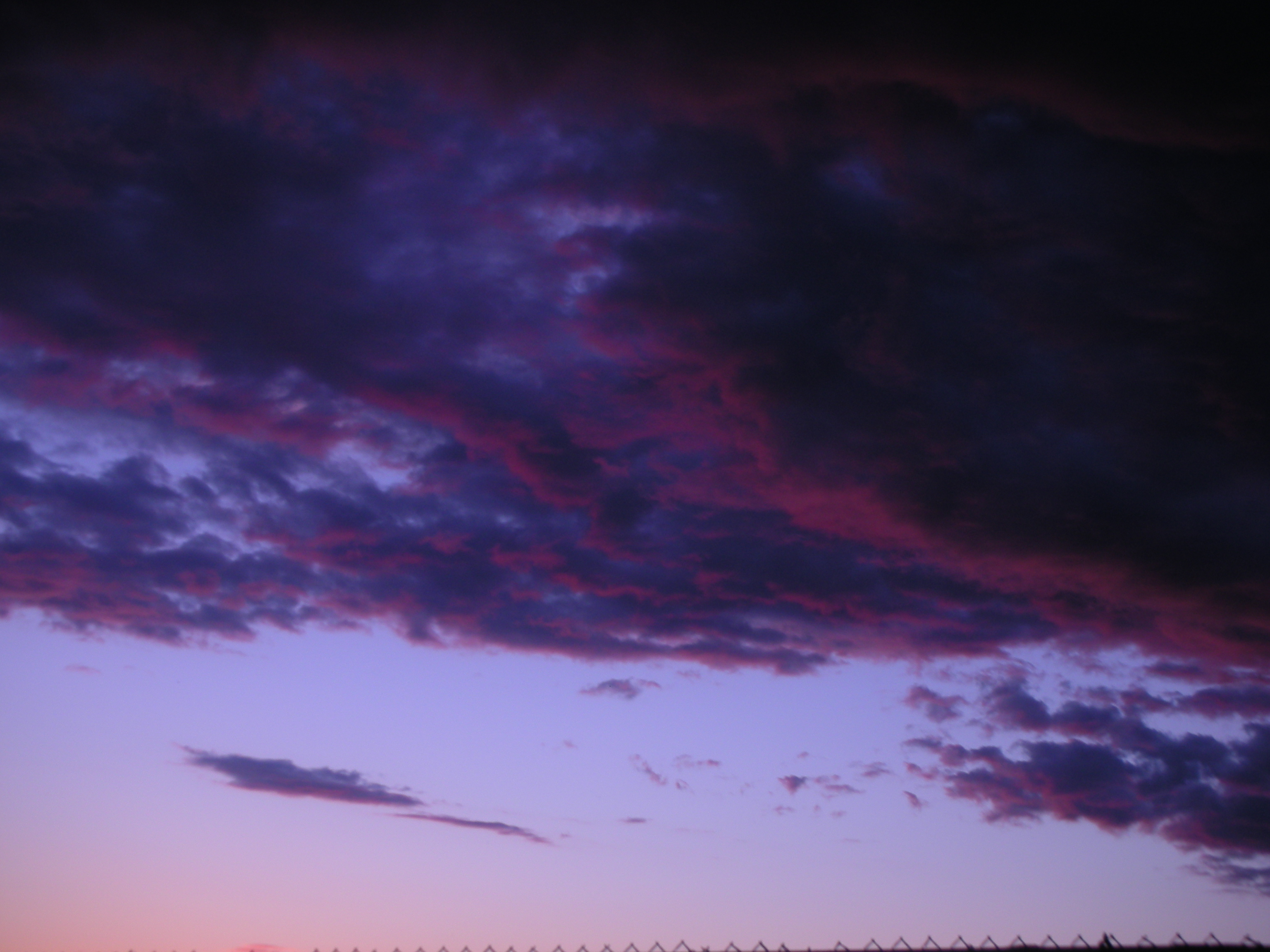
Yelm sunset
Yelm sunset

My House at sunset.
My Aviary-Edited Photo
You can't stop the sun from going down. Even in late June.

Lawrence Lake AM

Star Trails, Bon Fire and Tiki Torches

Chehalis Western Trail

Mount Rainier At Sunrise
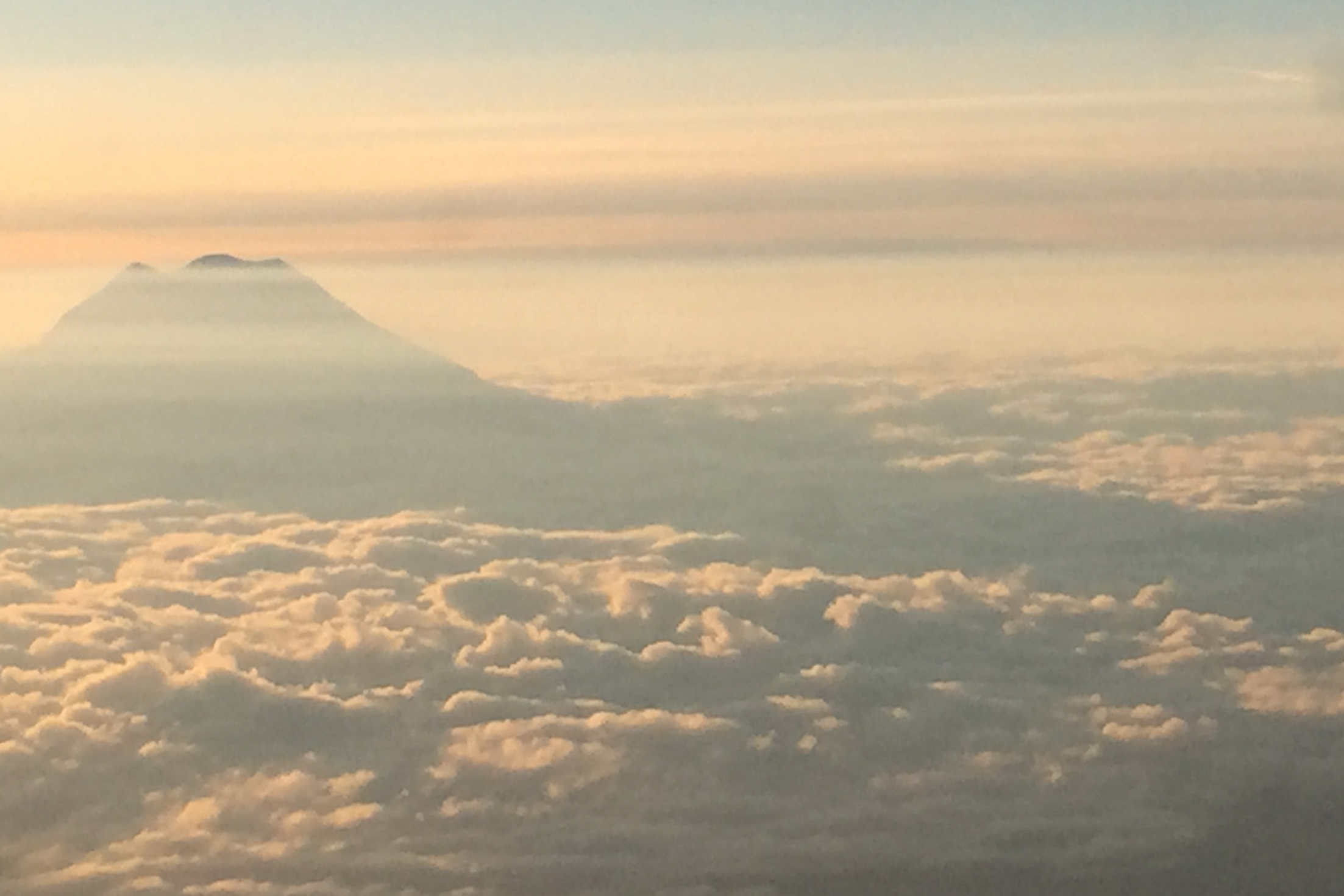
MT. Rainier and shadow
Military Rd SE, Tenino, WA アメリカ合衆国の地図
別の場所を検索
近所の場所
アメリカ合衆国 ワシントン州 サーストン
th Ave SE, Rainier, WA アメリカ合衆国
Binghampton St, Rainier, WA アメリカ合衆国
アメリカ合衆国 〒 ワシントン州 レーニエ
Tipsoo Loop N, Rainier, WA アメリカ合衆国
Tucker Rd SE, Olympia, WA アメリカ合衆国
Skookumchuck Rd SE, Tenino, WA アメリカ合衆国
Hodgden St S, Tenino, WA アメリカ合衆国
アメリカ合衆国 〒 ワシントン州 テニーノ
Yelm Hwy SE, Olympia, WA アメリカ合衆国
Fir Tree Rd SE, Olympia, WA アメリカ合衆国
60th Ln SE, Olympia, WA アメリカ合衆国60th Lane Southeast
Kiwa Dr SE, Olympia, WA アメリカ合衆国
Sitkum Dr SE, Olympia, WA アメリカ合衆国
Ashdown Ln SE, Lacey, WA アメリカ合衆国
49th Loop SE, Olympia, WA アメリカ合衆国
Early Spring Dr SE, Olympia, WA アメリカ合衆国
Mullen Rd SE, Olympia, WA アメリカ合衆国
Thornbury Dr SE, Lacey, WA アメリカ合衆国ソーンベリー・ドライブ・サウスイースト
Bucoda Hwy SE, Tenino, WA アメリカ合衆国
最近の検索
- アメリカ合衆国 アラスカ州 レッド・ドッグ・マイン日の出日の入り時間
- Am bhf, Borken, ドイツアム・バーンホーフ日の出日の入り時間
- 4th St E, Sonoma, CA, USA日の出日の入り時間
- Oakland Ave, Williamsport, PA アメリカ合衆国日の出日の入り時間
- Via Roma, Pieranica CR, イタリアローマ通り日の出日の入り時間
- クロアチア 〒 ドゥブロブニク GradClock Tower of Dubrovnik日の出日の入り時間
- アルゼンチン チュブ州 トレリュー日の出日の入り時間
- Hartfords Bluff Cir, Mt Pleasant, SC アメリカ合衆国日の出日の入り時間
- 日本、熊本県熊本市北区日の出日の入り時間
- 中華人民共和国 福州市 平潭県 平潭島日の出日の入り時間