Meadow Ridge Cir, Wilmington, OH アメリカ合衆国日の出日の入り時間
Location: アメリカ合衆国 > オハイオ州 > クリントン > アメリカ合衆国 〒 オハイオ州 ウィルミントン >
時間帯:
America/New_York
現地時間:
2025-07-07 23:32:56
経度:
-83.847788
緯度:
39.4280339
今日の日の出時刻:
06:16:29 AM
今日の日の入時刻:
09:04:44 PM
今日の日長:
14h 48m 15s
明日の日の出時刻:
06:17:08 AM
明日の日の入時刻:
09:04:22 PM
明日の日長:
14h 47m 14s
すべて表示する
| 日付 | 日出 | 日没 | 日長 |
|---|---|---|---|
| 2025年01月01日 | 07:55:34 AM | 05:23:27 PM | 9h 27m 53s |
| 2025年01月02日 | 07:55:38 AM | 05:24:18 PM | 9h 28m 40s |
| 2025年01月03日 | 07:55:40 AM | 05:25:11 PM | 9h 29m 31s |
| 2025年01月04日 | 07:55:40 AM | 05:26:05 PM | 9h 30m 25s |
| 2025年01月05日 | 07:55:37 AM | 05:27:00 PM | 9h 31m 23s |
| 2025年01月06日 | 07:55:32 AM | 05:27:57 PM | 9h 32m 25s |
| 2025年01月07日 | 07:55:25 AM | 05:28:54 PM | 9h 33m 29s |
| 2025年01月08日 | 07:55:16 AM | 05:29:53 PM | 9h 34m 37s |
| 2025年01月09日 | 07:55:05 AM | 05:30:53 PM | 9h 35m 48s |
| 2025年01月10日 | 07:54:51 AM | 05:31:54 PM | 9h 37m 3s |
| 2025年01月11日 | 07:54:35 AM | 05:32:56 PM | 9h 38m 21s |
| 2025年01月12日 | 07:54:18 AM | 05:33:59 PM | 9h 39m 41s |
| 2025年01月13日 | 07:53:58 AM | 05:35:03 PM | 9h 41m 5s |
| 2025年01月14日 | 07:53:36 AM | 05:36:07 PM | 9h 42m 31s |
| 2025年01月15日 | 07:53:12 AM | 05:37:12 PM | 9h 44m 0s |
| 2025年01月16日 | 07:52:45 AM | 05:38:18 PM | 9h 45m 33s |
| 2025年01月17日 | 07:52:17 AM | 05:39:25 PM | 9h 47m 8s |
| 2025年01月18日 | 07:51:47 AM | 05:40:32 PM | 9h 48m 45s |
| 2025年01月19日 | 07:51:14 AM | 05:41:40 PM | 9h 50m 26s |
| 2025年01月20日 | 07:50:40 AM | 05:42:48 PM | 9h 52m 8s |
| 2025年01月21日 | 07:50:04 AM | 05:43:56 PM | 9h 53m 52s |
| 2025年01月22日 | 07:49:25 AM | 05:45:06 PM | 9h 55m 41s |
| 2025年01月23日 | 07:48:45 AM | 05:46:15 PM | 9h 57m 30s |
| 2025年01月24日 | 07:48:03 AM | 05:47:25 PM | 9h 59m 22s |
| 2025年01月25日 | 07:47:19 AM | 05:48:35 PM | 10h 1m 16s |
| 2025年01月26日 | 07:46:33 AM | 05:49:45 PM | 10h 3m 12s |
| 2025年01月27日 | 07:45:45 AM | 05:50:55 PM | 10h 5m 10s |
| 2025年01月28日 | 07:44:56 AM | 05:52:06 PM | 10h 7m 10s |
| 2025年01月29日 | 07:44:05 AM | 05:53:17 PM | 10h 9m 12s |
| 2025年01月30日 | 07:43:12 AM | 05:54:27 PM | 10h 11m 15s |
| 2025年01月31日 | 07:42:17 AM | 05:55:38 PM | 10h 13m 21s |
| 2025年02月01日 | 07:41:21 AM | 05:56:49 PM | 10h 15m 28s |
| 2025年02月02日 | 07:40:23 AM | 05:58:00 PM | 10h 17m 37s |
| 2025年02月03日 | 07:39:24 AM | 05:59:11 PM | 10h 19m 47s |
| 2025年02月04日 | 07:38:23 AM | 06:00:22 PM | 10h 21m 59s |
| 2025年02月05日 | 07:37:20 AM | 06:01:32 PM | 10h 24m 12s |
| 2025年02月06日 | 07:36:16 AM | 06:02:43 PM | 10h 26m 27s |
| 2025年02月07日 | 07:35:11 AM | 06:03:53 PM | 10h 28m 42s |
| 2025年02月08日 | 07:34:04 AM | 06:05:03 PM | 10h 30m 59s |
| 2025年02月09日 | 07:32:56 AM | 06:06:14 PM | 10h 33m 18s |
| 2025年02月10日 | 07:31:46 AM | 06:07:23 PM | 10h 35m 37s |
| 2025年02月11日 | 07:30:35 AM | 06:08:33 PM | 10h 37m 58s |
| 2025年02月12日 | 07:29:23 AM | 06:09:43 PM | 10h 40m 20s |
| 2025年02月13日 | 07:28:10 AM | 06:10:52 PM | 10h 42m 42s |
| 2025年02月14日 | 07:26:55 AM | 06:12:01 PM | 10h 45m 6s |
| 2025年02月15日 | 07:25:39 AM | 06:13:10 PM | 10h 47m 31s |
| 2025年02月16日 | 07:24:22 AM | 06:14:18 PM | 10h 49m 56s |
| 2025年02月17日 | 07:23:04 AM | 06:15:26 PM | 10h 52m 22s |
| 2025年02月18日 | 07:21:45 AM | 06:16:34 PM | 10h 54m 49s |
| 2025年02月19日 | 07:20:25 AM | 06:17:42 PM | 10h 57m 17s |
| 2025年02月20日 | 07:19:04 AM | 06:18:49 PM | 10h 59m 45s |
| 2025年02月21日 | 07:17:42 AM | 06:19:56 PM | 11h 2m 14s |
| 2025年02月22日 | 07:16:19 AM | 06:21:02 PM | 11h 4m 43s |
| 2025年02月23日 | 07:14:55 AM | 06:22:09 PM | 11h 7m 14s |
| 2025年02月24日 | 07:13:30 AM | 06:23:15 PM | 11h 9m 45s |
| 2025年02月25日 | 07:12:04 AM | 06:24:21 PM | 11h 12m 17s |
| 2025年02月26日 | 07:10:38 AM | 06:25:26 PM | 11h 14m 48s |
| 2025年02月27日 | 07:09:11 AM | 06:26:31 PM | 11h 17m 20s |
| 2025年02月28日 | 07:07:43 AM | 06:27:36 PM | 11h 19m 53s |
| 2025年03月01日 | 07:06:14 AM | 06:28:40 PM | 11h 22m 26s |
| 2025年03月02日 | 07:04:45 AM | 06:29:45 PM | 11h 25m 0s |
| 2025年03月03日 | 07:03:15 AM | 06:30:49 PM | 11h 27m 34s |
| 2025年03月04日 | 07:01:44 AM | 06:31:52 PM | 11h 30m 8s |
| 2025年03月05日 | 07:00:13 AM | 06:32:56 PM | 11h 32m 43s |
| 2025年03月06日 | 06:58:42 AM | 06:33:59 PM | 11h 35m 17s |
| 2025年03月07日 | 06:57:10 AM | 06:35:01 PM | 11h 37m 51s |
| 2025年03月08日 | 06:55:37 AM | 06:36:04 PM | 11h 40m 27s |
| 2025年03月09日 | 07:54:08 AM | 07:37:04 PM | 11h 42m 56s |
| 2025年03月10日 | 07:52:34 AM | 07:38:06 PM | 11h 45m 32s |
| 2025年03月11日 | 07:51:01 AM | 07:39:08 PM | 11h 48m 7s |
| 2025年03月12日 | 07:49:27 AM | 07:40:09 PM | 11h 50m 42s |
| 2025年03月13日 | 07:47:52 AM | 07:41:11 PM | 11h 53m 19s |
| 2025年03月14日 | 07:46:17 AM | 07:42:12 PM | 11h 55m 55s |
| 2025年03月15日 | 07:44:42 AM | 07:43:13 PM | 11h 58m 31s |
| 2025年03月16日 | 07:43:07 AM | 07:44:14 PM | 12h 1m 7s |
| 2025年03月17日 | 07:41:32 AM | 07:45:14 PM | 12h 3m 42s |
| 2025年03月18日 | 07:39:56 AM | 07:46:15 PM | 12h 6m 19s |
| 2025年03月19日 | 07:38:21 AM | 07:47:15 PM | 12h 8m 54s |
| 2025年03月20日 | 07:36:45 AM | 07:48:15 PM | 12h 11m 30s |
| 2025年03月21日 | 07:35:09 AM | 07:49:15 PM | 12h 14m 6s |
| 2025年03月22日 | 07:33:33 AM | 07:50:15 PM | 12h 16m 42s |
| 2025年03月23日 | 07:31:57 AM | 07:51:15 PM | 12h 19m 18s |
| 2025年03月24日 | 07:30:21 AM | 07:52:15 PM | 12h 21m 54s |
| 2025年03月25日 | 07:28:46 AM | 07:53:14 PM | 12h 24m 28s |
| 2025年03月26日 | 07:27:10 AM | 07:54:14 PM | 12h 27m 4s |
| 2025年03月27日 | 07:25:34 AM | 07:55:13 PM | 12h 29m 39s |
| 2025年03月28日 | 07:23:59 AM | 07:56:13 PM | 12h 32m 14s |
| 2025年03月29日 | 07:22:23 AM | 07:57:12 PM | 12h 34m 49s |
| 2025年03月30日 | 07:20:48 AM | 07:58:11 PM | 12h 37m 23s |
| 2025年03月31日 | 07:19:13 AM | 07:59:10 PM | 12h 39m 57s |
| 2025年04月01日 | 07:17:39 AM | 08:00:10 PM | 12h 42m 31s |
| 2025年04月02日 | 07:16:05 AM | 08:01:09 PM | 12h 45m 4s |
| 2025年04月03日 | 07:14:31 AM | 08:02:08 PM | 12h 47m 37s |
| 2025年04月04日 | 07:12:57 AM | 08:03:07 PM | 12h 50m 10s |
| 2025年04月05日 | 07:11:24 AM | 08:04:06 PM | 12h 52m 42s |
| 2025年04月06日 | 07:09:51 AM | 08:05:05 PM | 12h 55m 14s |
| 2025年04月07日 | 07:08:18 AM | 08:06:05 PM | 12h 57m 47s |
| 2025年04月08日 | 07:06:47 AM | 08:07:04 PM | 13h 0m 17s |
| 2025年04月09日 | 07:05:15 AM | 08:08:03 PM | 13h 2m 48s |
| 2025年04月10日 | 07:03:44 AM | 08:09:02 PM | 13h 5m 18s |
| 2025年04月11日 | 07:02:14 AM | 08:10:01 PM | 13h 7m 47s |
| 2025年04月12日 | 07:00:44 AM | 08:11:01 PM | 13h 10m 17s |
| 2025年04月13日 | 06:59:15 AM | 08:12:00 PM | 13h 12m 45s |
| 2025年04月14日 | 06:57:47 AM | 08:12:59 PM | 13h 15m 12s |
| 2025年04月15日 | 06:56:19 AM | 08:13:59 PM | 13h 17m 40s |
| 2025年04月16日 | 06:54:52 AM | 08:14:58 PM | 13h 20m 6s |
| 2025年04月17日 | 06:53:26 AM | 08:15:57 PM | 13h 22m 31s |
| 2025年04月18日 | 06:52:00 AM | 08:16:57 PM | 13h 24m 57s |
| 2025年04月19日 | 06:50:36 AM | 08:17:56 PM | 13h 27m 20s |
| 2025年04月20日 | 06:49:12 AM | 08:18:56 PM | 13h 29m 44s |
| 2025年04月21日 | 06:47:49 AM | 08:19:55 PM | 13h 32m 6s |
| 2025年04月22日 | 06:46:27 AM | 08:20:55 PM | 13h 34m 28s |
| 2025年04月23日 | 06:45:06 AM | 08:21:54 PM | 13h 36m 48s |
| 2025年04月24日 | 06:43:46 AM | 08:22:54 PM | 13h 39m 8s |
| 2025年04月25日 | 06:42:26 AM | 08:23:53 PM | 13h 41m 27s |
| 2025年04月26日 | 06:41:08 AM | 08:24:53 PM | 13h 43m 45s |
| 2025年04月27日 | 06:39:51 AM | 08:25:52 PM | 13h 46m 1s |
| 2025年04月28日 | 06:38:35 AM | 08:26:51 PM | 13h 48m 16s |
| 2025年04月29日 | 06:37:21 AM | 08:27:50 PM | 13h 50m 29s |
| 2025年04月30日 | 06:36:07 AM | 08:28:49 PM | 13h 52m 42s |
| 2025年05月01日 | 06:34:54 AM | 08:29:49 PM | 13h 54m 55s |
| 2025年05月02日 | 06:33:43 AM | 08:30:47 PM | 13h 57m 4s |
| 2025年05月03日 | 06:32:33 AM | 08:31:46 PM | 13h 59m 13s |
| 2025年05月04日 | 06:31:24 AM | 08:32:45 PM | 14h 1m 21s |
| 2025年05月05日 | 06:30:17 AM | 08:33:43 PM | 14h 3m 26s |
| 2025年05月06日 | 06:29:11 AM | 08:34:41 PM | 14h 5m 30s |
| 2025年05月07日 | 06:28:06 AM | 08:35:39 PM | 14h 7m 33s |
| 2025年05月08日 | 06:27:03 AM | 08:36:37 PM | 14h 9m 34s |
| 2025年05月09日 | 06:26:01 AM | 08:37:34 PM | 14h 11m 33s |
| 2025年05月10日 | 06:25:00 AM | 08:38:32 PM | 14h 13m 32s |
| 2025年05月11日 | 06:24:01 AM | 08:39:28 PM | 14h 15m 27s |
| 2025年05月12日 | 06:23:04 AM | 08:40:25 PM | 14h 17m 21s |
| 2025年05月13日 | 06:22:08 AM | 08:41:21 PM | 14h 19m 13s |
| 2025年05月14日 | 06:21:14 AM | 08:42:16 PM | 14h 21m 2s |
| 2025年05月15日 | 06:20:21 AM | 08:43:12 PM | 14h 22m 51s |
| 2025年05月16日 | 06:19:30 AM | 08:44:06 PM | 14h 24m 36s |
| 2025年05月17日 | 06:18:40 AM | 08:45:00 PM | 14h 26m 20s |
| 2025年05月18日 | 06:17:52 AM | 08:45:54 PM | 14h 28m 2s |
| 2025年05月19日 | 06:17:06 AM | 08:46:47 PM | 14h 29m 41s |
| 2025年05月20日 | 06:16:21 AM | 08:47:39 PM | 14h 31m 18s |
| 2025年05月21日 | 06:15:39 AM | 08:48:31 PM | 14h 32m 52s |
| 2025年05月22日 | 06:14:58 AM | 08:49:22 PM | 14h 34m 24s |
| 2025年05月23日 | 06:14:18 AM | 08:50:12 PM | 14h 35m 54s |
| 2025年05月24日 | 06:13:41 AM | 08:51:02 PM | 14h 37m 21s |
| 2025年05月25日 | 06:13:05 AM | 08:51:50 PM | 14h 38m 45s |
| 2025年05月26日 | 06:12:31 AM | 08:52:38 PM | 14h 40m 7s |
| 2025年05月27日 | 06:11:59 AM | 08:53:25 PM | 14h 41m 26s |
| 2025年05月28日 | 06:11:29 AM | 08:54:11 PM | 14h 42m 42s |
| 2025年05月29日 | 06:11:01 AM | 08:54:56 PM | 14h 43m 55s |
| 2025年05月30日 | 06:10:34 AM | 08:55:40 PM | 14h 45m 6s |
| 2025年05月31日 | 06:10:10 AM | 08:56:22 PM | 14h 46m 12s |
| 2025年06月01日 | 06:09:47 AM | 08:57:04 PM | 14h 47m 17s |
| 2025年06月02日 | 06:09:26 AM | 08:57:45 PM | 14h 48m 19s |
| 2025年06月03日 | 06:09:08 AM | 08:58:24 PM | 14h 49m 16s |
| 2025年06月04日 | 06:08:51 AM | 08:59:02 PM | 14h 50m 11s |
| 2025年06月05日 | 06:08:36 AM | 08:59:39 PM | 14h 51m 3s |
| 2025年06月06日 | 06:08:22 AM | 09:00:14 PM | 14h 51m 52s |
| 2025年06月07日 | 06:08:11 AM | 09:00:49 PM | 14h 52m 38s |
| 2025年06月08日 | 06:08:02 AM | 09:01:21 PM | 14h 53m 19s |
| 2025年06月09日 | 06:07:54 AM | 09:01:53 PM | 14h 53m 59s |
| 2025年06月10日 | 06:07:49 AM | 09:02:23 PM | 14h 54m 34s |
| 2025年06月11日 | 06:07:45 AM | 09:02:51 PM | 14h 55m 6s |
| 2025年06月12日 | 06:07:43 AM | 09:03:18 PM | 14h 55m 35s |
| 2025年06月13日 | 06:07:44 AM | 09:03:43 PM | 14h 55m 59s |
| 2025年06月14日 | 06:07:46 AM | 09:04:07 PM | 14h 56m 21s |
| 2025年06月15日 | 06:07:49 AM | 09:04:29 PM | 14h 56m 40s |
| 2025年06月16日 | 06:07:55 AM | 09:04:49 PM | 14h 56m 54s |
| 2025年06月17日 | 06:08:02 AM | 09:05:08 PM | 14h 57m 6s |
| 2025年06月18日 | 06:08:12 AM | 09:05:25 PM | 14h 57m 13s |
| 2025年06月19日 | 06:08:23 AM | 09:05:40 PM | 14h 57m 17s |
| 2025年06月20日 | 06:08:35 AM | 09:05:54 PM | 14h 57m 19s |
| 2025年06月21日 | 06:08:50 AM | 09:06:05 PM | 14h 57m 15s |
| 2025年06月22日 | 06:09:06 AM | 09:06:15 PM | 14h 57m 9s |
| 2025年06月23日 | 06:09:24 AM | 09:06:23 PM | 14h 56m 59s |
| 2025年06月24日 | 06:09:43 AM | 09:06:29 PM | 14h 56m 46s |
| 2025年06月25日 | 06:10:04 AM | 09:06:33 PM | 14h 56m 29s |
| 2025年06月26日 | 06:10:27 AM | 09:06:36 PM | 14h 56m 9s |
| 2025年06月27日 | 06:10:51 AM | 09:06:36 PM | 14h 55m 45s |
| 2025年06月28日 | 06:11:17 AM | 09:06:35 PM | 14h 55m 18s |
| 2025年06月29日 | 06:11:44 AM | 09:06:31 PM | 14h 54m 47s |
| 2025年06月30日 | 06:12:12 AM | 09:06:26 PM | 14h 54m 14s |
| 2025年07月01日 | 06:12:42 AM | 09:06:18 PM | 14h 53m 36s |
| 2025年07月02日 | 06:13:14 AM | 09:06:09 PM | 14h 52m 55s |
| 2025年07月03日 | 06:13:46 AM | 09:05:58 PM | 14h 52m 12s |
| 2025年07月04日 | 06:14:20 AM | 09:05:45 PM | 14h 51m 25s |
| 2025年07月05日 | 06:14:56 AM | 09:05:30 PM | 14h 50m 34s |
| 2025年07月06日 | 06:15:32 AM | 09:05:13 PM | 14h 49m 41s |
| 2025年07月07日 | 06:16:10 AM | 09:04:54 PM | 14h 48m 44s |
| 2025年07月08日 | 06:16:49 AM | 09:04:33 PM | 14h 47m 44s |
| 2025年07月09日 | 06:17:28 AM | 09:04:10 PM | 14h 46m 42s |
| 2025年07月10日 | 06:18:09 AM | 09:03:45 PM | 14h 45m 36s |
| 2025年07月11日 | 06:18:51 AM | 09:03:19 PM | 14h 44m 28s |
| 2025年07月12日 | 06:19:34 AM | 09:02:50 PM | 14h 43m 16s |
| 2025年07月13日 | 06:20:18 AM | 09:02:19 PM | 14h 42m 1s |
| 2025年07月14日 | 06:21:03 AM | 09:01:47 PM | 14h 40m 44s |
| 2025年07月15日 | 06:21:48 AM | 09:01:13 PM | 14h 39m 25s |
| 2025年07月16日 | 06:22:35 AM | 09:00:37 PM | 14h 38m 2s |
| 2025年07月17日 | 06:23:22 AM | 08:59:59 PM | 14h 36m 37s |
| 2025年07月18日 | 06:24:10 AM | 08:59:19 PM | 14h 35m 9s |
| 2025年07月19日 | 06:24:58 AM | 08:58:37 PM | 14h 33m 39s |
| 2025年07月20日 | 06:25:47 AM | 08:57:54 PM | 14h 32m 7s |
| 2025年07月21日 | 06:26:37 AM | 08:57:09 PM | 14h 30m 32s |
| 2025年07月22日 | 06:27:27 AM | 08:56:22 PM | 14h 28m 55s |
| 2025年07月23日 | 06:28:18 AM | 08:55:34 PM | 14h 27m 16s |
| 2025年07月24日 | 06:29:10 AM | 08:54:44 PM | 14h 25m 34s |
| 2025年07月25日 | 06:30:02 AM | 08:53:52 PM | 14h 23m 50s |
| 2025年07月26日 | 06:30:54 AM | 08:52:58 PM | 14h 22m 4s |
| 2025年07月27日 | 06:31:47 AM | 08:52:03 PM | 14h 20m 16s |
| 2025年07月28日 | 06:32:40 AM | 08:51:06 PM | 14h 18m 26s |
| 2025年07月29日 | 06:33:33 AM | 08:50:08 PM | 14h 16m 35s |
| 2025年07月30日 | 06:34:27 AM | 08:49:08 PM | 14h 14m 41s |
| 2025年07月31日 | 06:35:21 AM | 08:48:07 PM | 14h 12m 46s |
| 2025年08月01日 | 06:36:16 AM | 08:47:04 PM | 14h 10m 48s |
| 2025年08月02日 | 06:37:10 AM | 08:46:00 PM | 14h 8m 50s |
| 2025年08月03日 | 06:38:05 AM | 08:44:54 PM | 14h 6m 49s |
| 2025年08月04日 | 06:39:00 AM | 08:43:47 PM | 14h 4m 47s |
| 2025年08月05日 | 06:39:55 AM | 08:42:39 PM | 14h 2m 44s |
| 2025年08月06日 | 06:40:50 AM | 08:41:29 PM | 14h 0m 39s |
| 2025年08月07日 | 06:41:46 AM | 08:40:18 PM | 13h 58m 32s |
| 2025年08月08日 | 06:42:41 AM | 08:39:06 PM | 13h 56m 25s |
| 2025年08月09日 | 06:43:37 AM | 08:37:52 PM | 13h 54m 15s |
| 2025年08月10日 | 06:44:32 AM | 08:36:38 PM | 13h 52m 6s |
| 2025年08月11日 | 06:45:28 AM | 08:35:22 PM | 13h 49m 54s |
| 2025年08月12日 | 06:46:24 AM | 08:34:05 PM | 13h 47m 41s |
| 2025年08月13日 | 06:47:19 AM | 08:32:47 PM | 13h 45m 28s |
| 2025年08月14日 | 06:48:15 AM | 08:31:27 PM | 13h 43m 12s |
| 2025年08月15日 | 06:49:11 AM | 08:30:07 PM | 13h 40m 56s |
| 2025年08月16日 | 06:50:06 AM | 08:28:46 PM | 13h 38m 40s |
| 2025年08月17日 | 06:51:02 AM | 08:27:23 PM | 13h 36m 21s |
| 2025年08月18日 | 06:51:58 AM | 08:26:00 PM | 13h 34m 2s |
| 2025年08月19日 | 06:52:53 AM | 08:24:36 PM | 13h 31m 43s |
| 2025年08月20日 | 06:53:49 AM | 08:23:11 PM | 13h 29m 22s |
| 2025年08月21日 | 06:54:45 AM | 08:21:45 PM | 13h 27m 0s |
| 2025年08月22日 | 06:55:40 AM | 08:20:18 PM | 13h 24m 38s |
| 2025年08月23日 | 06:56:35 AM | 08:18:50 PM | 13h 22m 15s |
| 2025年08月24日 | 06:57:31 AM | 08:17:22 PM | 13h 19m 51s |
| 2025年08月25日 | 06:58:26 AM | 08:15:53 PM | 13h 17m 27s |
| 2025年08月26日 | 06:59:21 AM | 08:14:23 PM | 13h 15m 2s |
| 2025年08月27日 | 07:00:17 AM | 08:12:53 PM | 13h 12m 36s |
| 2025年08月28日 | 07:01:12 AM | 08:11:21 PM | 13h 10m 9s |
| 2025年08月29日 | 07:02:07 AM | 08:09:50 PM | 13h 7m 43s |
| 2025年08月30日 | 07:03:02 AM | 08:08:17 PM | 13h 5m 15s |
| 2025年08月31日 | 07:03:57 AM | 08:06:44 PM | 13h 2m 47s |
| 2025年09月01日 | 07:04:52 AM | 08:05:11 PM | 13h 0m 19s |
| 2025年09月02日 | 07:05:47 AM | 08:03:37 PM | 12h 57m 50s |
| 2025年09月03日 | 07:06:41 AM | 08:02:02 PM | 12h 55m 21s |
| 2025年09月04日 | 07:07:36 AM | 08:00:27 PM | 12h 52m 51s |
| 2025年09月05日 | 07:08:31 AM | 07:58:52 PM | 12h 50m 21s |
| 2025年09月06日 | 07:09:26 AM | 07:57:16 PM | 12h 47m 50s |
| 2025年09月07日 | 07:10:21 AM | 07:55:40 PM | 12h 45m 19s |
| 2025年09月08日 | 07:11:15 AM | 07:54:04 PM | 12h 42m 49s |
| 2025年09月09日 | 07:12:10 AM | 07:52:27 PM | 12h 40m 17s |
| 2025年09月10日 | 07:13:05 AM | 07:50:50 PM | 12h 37m 45s |
| 2025年09月11日 | 07:14:00 AM | 07:49:13 PM | 12h 35m 13s |
| 2025年09月12日 | 07:14:54 AM | 07:47:35 PM | 12h 32m 41s |
| 2025年09月13日 | 07:15:49 AM | 07:45:58 PM | 12h 30m 9s |
| 2025年09月14日 | 07:16:44 AM | 07:44:20 PM | 12h 27m 36s |
| 2025年09月15日 | 07:17:39 AM | 07:42:42 PM | 12h 25m 3s |
| 2025年09月16日 | 07:18:34 AM | 07:41:04 PM | 12h 22m 30s |
| 2025年09月17日 | 07:19:29 AM | 07:39:26 PM | 12h 19m 57s |
| 2025年09月18日 | 07:20:25 AM | 07:37:48 PM | 12h 17m 23s |
| 2025年09月19日 | 07:21:20 AM | 07:36:10 PM | 12h 14m 50s |
| 2025年09月20日 | 07:22:15 AM | 07:34:32 PM | 12h 12m 17s |
| 2025年09月21日 | 07:23:11 AM | 07:32:54 PM | 12h 9m 43s |
| 2025年09月22日 | 07:24:07 AM | 07:31:16 PM | 12h 7m 9s |
| 2025年09月23日 | 07:25:02 AM | 07:29:39 PM | 12h 4m 37s |
| 2025年09月24日 | 07:25:58 AM | 07:28:01 PM | 12h 2m 3s |
| 2025年09月25日 | 07:26:55 AM | 07:26:24 PM | 11h 59m 29s |
| 2025年09月26日 | 07:27:51 AM | 07:24:46 PM | 11h 56m 55s |
| 2025年09月27日 | 07:28:48 AM | 07:23:09 PM | 11h 54m 21s |
| 2025年09月28日 | 07:29:44 AM | 07:21:33 PM | 11h 51m 49s |
| 2025年09月29日 | 07:30:41 AM | 07:19:56 PM | 11h 49m 15s |
| 2025年09月30日 | 07:31:39 AM | 07:18:20 PM | 11h 46m 41s |
| 2025年10月01日 | 07:32:36 AM | 07:16:44 PM | 11h 44m 8s |
| 2025年10月02日 | 07:33:34 AM | 07:15:09 PM | 11h 41m 35s |
| 2025年10月03日 | 07:34:32 AM | 07:13:34 PM | 11h 39m 2s |
| 2025年10月04日 | 07:35:30 AM | 07:12:00 PM | 11h 36m 30s |
| 2025年10月05日 | 07:36:28 AM | 07:10:26 PM | 11h 33m 58s |
| 2025年10月06日 | 07:37:27 AM | 07:08:52 PM | 11h 31m 25s |
| 2025年10月07日 | 07:38:26 AM | 07:07:19 PM | 11h 28m 53s |
| 2025年10月08日 | 07:39:26 AM | 07:05:47 PM | 11h 26m 21s |
| 2025年10月09日 | 07:40:25 AM | 07:04:15 PM | 11h 23m 50s |
| 2025年10月10日 | 07:41:25 AM | 07:02:44 PM | 11h 21m 19s |
| 2025年10月11日 | 07:42:25 AM | 07:01:13 PM | 11h 18m 48s |
| 2025年10月12日 | 07:43:26 AM | 06:59:44 PM | 11h 16m 18s |
| 2025年10月13日 | 07:44:27 AM | 06:58:15 PM | 11h 13m 48s |
| 2025年10月14日 | 07:45:28 AM | 06:56:46 PM | 11h 11m 18s |
| 2025年10月15日 | 07:46:30 AM | 06:55:19 PM | 11h 8m 49s |
| 2025年10月16日 | 07:47:32 AM | 06:53:52 PM | 11h 6m 20s |
| 2025年10月17日 | 07:48:34 AM | 06:52:27 PM | 11h 3m 53s |
| 2025年10月18日 | 07:49:37 AM | 06:51:02 PM | 11h 1m 25s |
| 2025年10月19日 | 07:50:40 AM | 06:49:38 PM | 10h 58m 58s |
| 2025年10月20日 | 07:51:43 AM | 06:48:15 PM | 10h 56m 32s |
| 2025年10月21日 | 07:52:46 AM | 06:46:53 PM | 10h 54m 7s |
| 2025年10月22日 | 07:53:50 AM | 06:45:32 PM | 10h 51m 42s |
| 2025年10月23日 | 07:54:55 AM | 06:44:12 PM | 10h 49m 17s |
| 2025年10月24日 | 07:55:59 AM | 06:42:53 PM | 10h 46m 54s |
| 2025年10月25日 | 07:57:04 AM | 06:41:36 PM | 10h 44m 32s |
| 2025年10月26日 | 07:58:09 AM | 06:40:19 PM | 10h 42m 10s |
| 2025年10月27日 | 07:59:15 AM | 06:39:04 PM | 10h 39m 49s |
| 2025年10月28日 | 08:00:20 AM | 06:37:50 PM | 10h 37m 30s |
| 2025年10月29日 | 08:01:26 AM | 06:36:38 PM | 10h 35m 12s |
| 2025年10月30日 | 08:02:33 AM | 06:35:26 PM | 10h 32m 53s |
| 2025年10月31日 | 08:03:39 AM | 06:34:16 PM | 10h 30m 37s |
| 2025年11月01日 | 08:04:46 AM | 06:33:08 PM | 10h 28m 22s |
| 2025年11月02日 | 07:05:55 AM | 05:31:58 PM | 10h 26m 3s |
| 2025年11月03日 | 07:07:02 AM | 05:30:52 PM | 10h 23m 50s |
| 2025年11月04日 | 07:08:10 AM | 05:29:48 PM | 10h 21m 38s |
| 2025年11月05日 | 07:09:17 AM | 05:28:45 PM | 10h 19m 28s |
| 2025年11月06日 | 07:10:25 AM | 05:27:44 PM | 10h 17m 19s |
| 2025年11月07日 | 07:11:32 AM | 05:26:44 PM | 10h 15m 12s |
| 2025年11月08日 | 07:12:40 AM | 05:25:46 PM | 10h 13m 6s |
| 2025年11月09日 | 07:13:48 AM | 05:24:50 PM | 10h 11m 2s |
| 2025年11月10日 | 07:14:55 AM | 05:23:55 PM | 10h 9m 0s |
| 2025年11月11日 | 07:16:03 AM | 05:23:03 PM | 10h 7m 0s |
| 2025年11月12日 | 07:17:11 AM | 05:22:12 PM | 10h 5m 1s |
| 2025年11月13日 | 07:18:18 AM | 05:21:22 PM | 10h 3m 4s |
| 2025年11月14日 | 07:19:25 AM | 05:20:35 PM | 10h 1m 10s |
| 2025年11月15日 | 07:20:33 AM | 05:19:49 PM | 9h 59m 16s |
| 2025年11月16日 | 07:21:40 AM | 05:19:05 PM | 9h 57m 25s |
| 2025年11月17日 | 07:22:47 AM | 05:18:24 PM | 9h 55m 37s |
| 2025年11月18日 | 07:23:53 AM | 05:17:44 PM | 9h 53m 51s |
| 2025年11月19日 | 07:24:59 AM | 05:17:06 PM | 9h 52m 7s |
| 2025年11月20日 | 07:26:05 AM | 05:16:30 PM | 9h 50m 25s |
| 2025年11月21日 | 07:27:10 AM | 05:15:56 PM | 9h 48m 46s |
| 2025年11月22日 | 07:28:15 AM | 05:15:24 PM | 9h 47m 9s |
| 2025年11月23日 | 07:29:20 AM | 05:14:54 PM | 9h 45m 34s |
| 2025年11月24日 | 07:30:23 AM | 05:14:26 PM | 9h 44m 3s |
| 2025年11月25日 | 07:31:27 AM | 05:14:01 PM | 9h 42m 34s |
| 2025年11月26日 | 07:32:29 AM | 05:13:37 PM | 9h 41m 8s |
| 2025年11月27日 | 07:33:31 AM | 05:13:16 PM | 9h 39m 45s |
| 2025年11月28日 | 07:34:32 AM | 05:12:57 PM | 9h 38m 25s |
| 2025年11月29日 | 07:35:32 AM | 05:12:40 PM | 9h 37m 8s |
| 2025年11月30日 | 07:36:32 AM | 05:12:25 PM | 9h 35m 53s |
| 2025年12月01日 | 07:37:30 AM | 05:12:12 PM | 9h 34m 42s |
| 2025年12月02日 | 07:38:28 AM | 05:12:02 PM | 9h 33m 34s |
| 2025年12月03日 | 07:39:24 AM | 05:11:54 PM | 9h 32m 30s |
| 2025年12月04日 | 07:40:20 AM | 05:11:48 PM | 9h 31m 28s |
| 2025年12月05日 | 07:41:14 AM | 05:11:44 PM | 9h 30m 30s |
| 2025年12月06日 | 07:42:07 AM | 05:11:42 PM | 9h 29m 35s |
| 2025年12月07日 | 07:42:59 AM | 05:11:43 PM | 9h 28m 44s |
| 2025年12月08日 | 07:43:49 AM | 05:11:46 PM | 9h 27m 57s |
| 2025年12月09日 | 07:44:38 AM | 05:11:51 PM | 9h 27m 13s |
| 2025年12月10日 | 07:45:26 AM | 05:11:58 PM | 9h 26m 32s |
| 2025年12月11日 | 07:46:12 AM | 05:12:08 PM | 9h 25m 56s |
| 2025年12月12日 | 07:46:57 AM | 05:12:19 PM | 9h 25m 22s |
| 2025年12月13日 | 07:47:40 AM | 05:12:33 PM | 9h 24m 53s |
| 2025年12月14日 | 07:48:22 AM | 05:12:49 PM | 9h 24m 27s |
| 2025年12月15日 | 07:49:02 AM | 05:13:08 PM | 9h 24m 6s |
| 2025年12月16日 | 07:49:40 AM | 05:13:28 PM | 9h 23m 48s |
| 2025年12月17日 | 07:50:17 AM | 05:13:50 PM | 9h 23m 33s |
| 2025年12月18日 | 07:50:51 AM | 05:14:15 PM | 9h 23m 24s |
| 2025年12月19日 | 07:51:24 AM | 05:14:41 PM | 9h 23m 17s |
| 2025年12月20日 | 07:51:55 AM | 05:15:10 PM | 9h 23m 15s |
| 2025年12月21日 | 07:52:25 AM | 05:15:40 PM | 9h 23m 15s |
| 2025年12月22日 | 07:52:52 AM | 05:16:12 PM | 9h 23m 20s |
| 2025年12月23日 | 07:53:17 AM | 05:16:47 PM | 9h 23m 30s |
| 2025年12月24日 | 07:53:41 AM | 05:17:23 PM | 9h 23m 42s |
| 2025年12月25日 | 07:54:02 AM | 05:18:01 PM | 9h 23m 59s |
| 2025年12月26日 | 07:54:21 AM | 05:18:41 PM | 9h 24m 20s |
| 2025年12月27日 | 07:54:38 AM | 05:19:22 PM | 9h 24m 44s |
| 2025年12月28日 | 07:54:54 AM | 05:20:05 PM | 9h 25m 11s |
| 2025年12月29日 | 07:55:07 AM | 05:20:50 PM | 9h 25m 43s |
| 2025年12月30日 | 07:55:17 AM | 05:21:37 PM | 9h 26m 20s |
| 2025年12月31日 | 07:55:26 AM | 05:22:25 PM | 9h 26m 59s |
写真
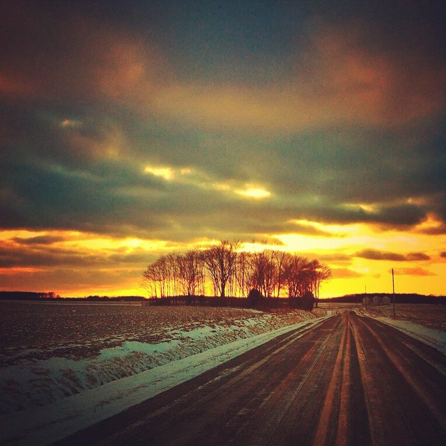
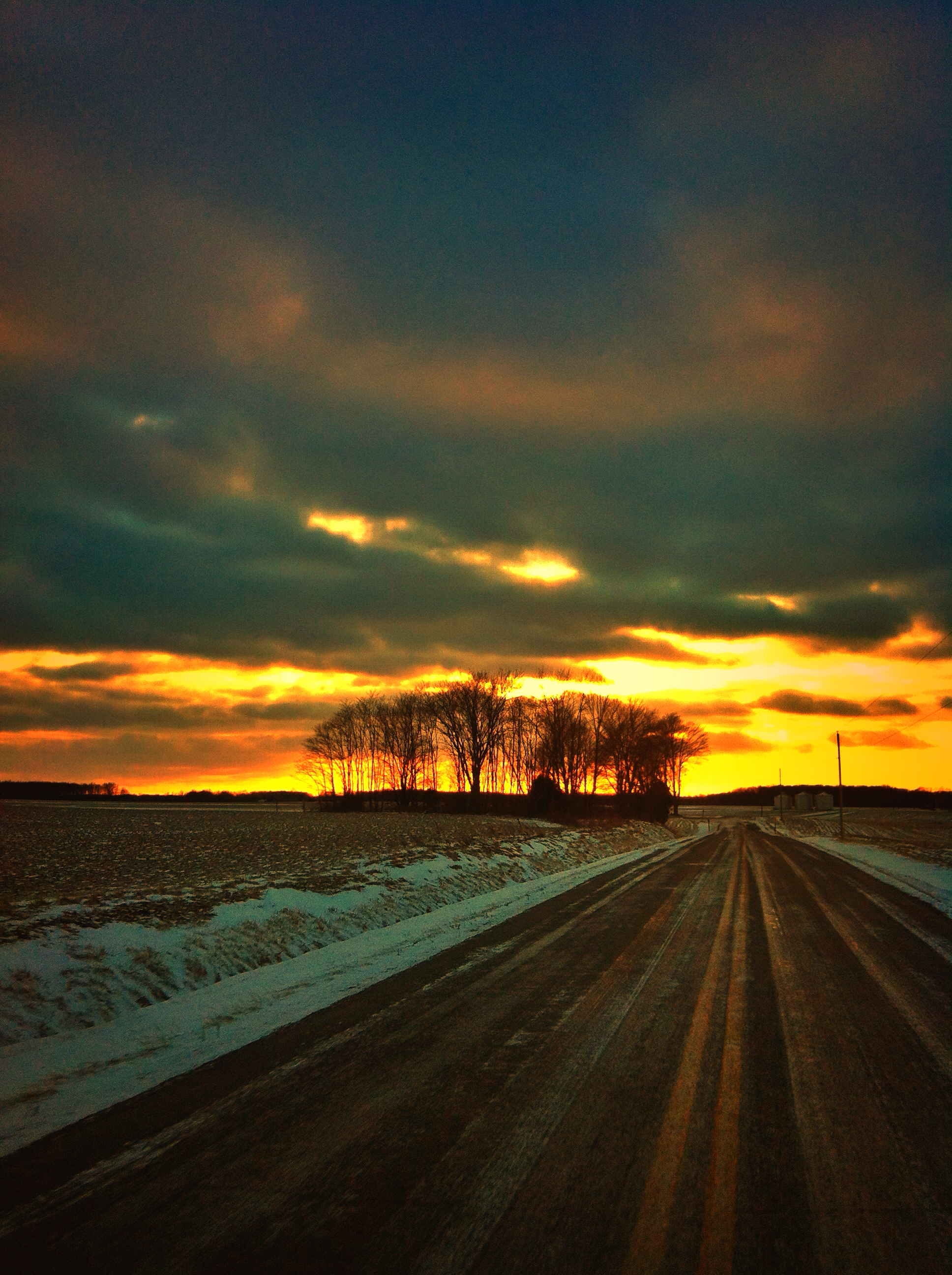
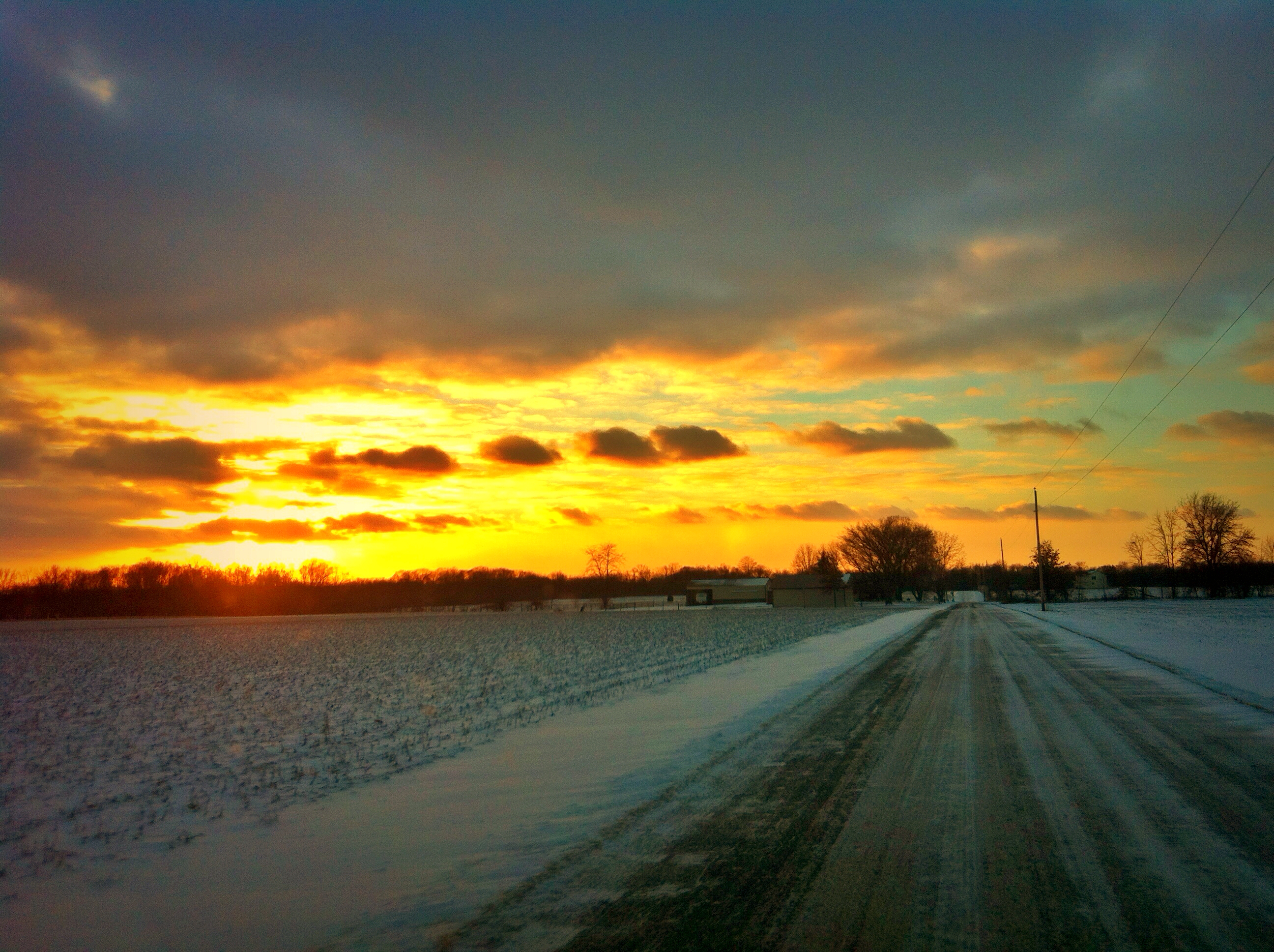
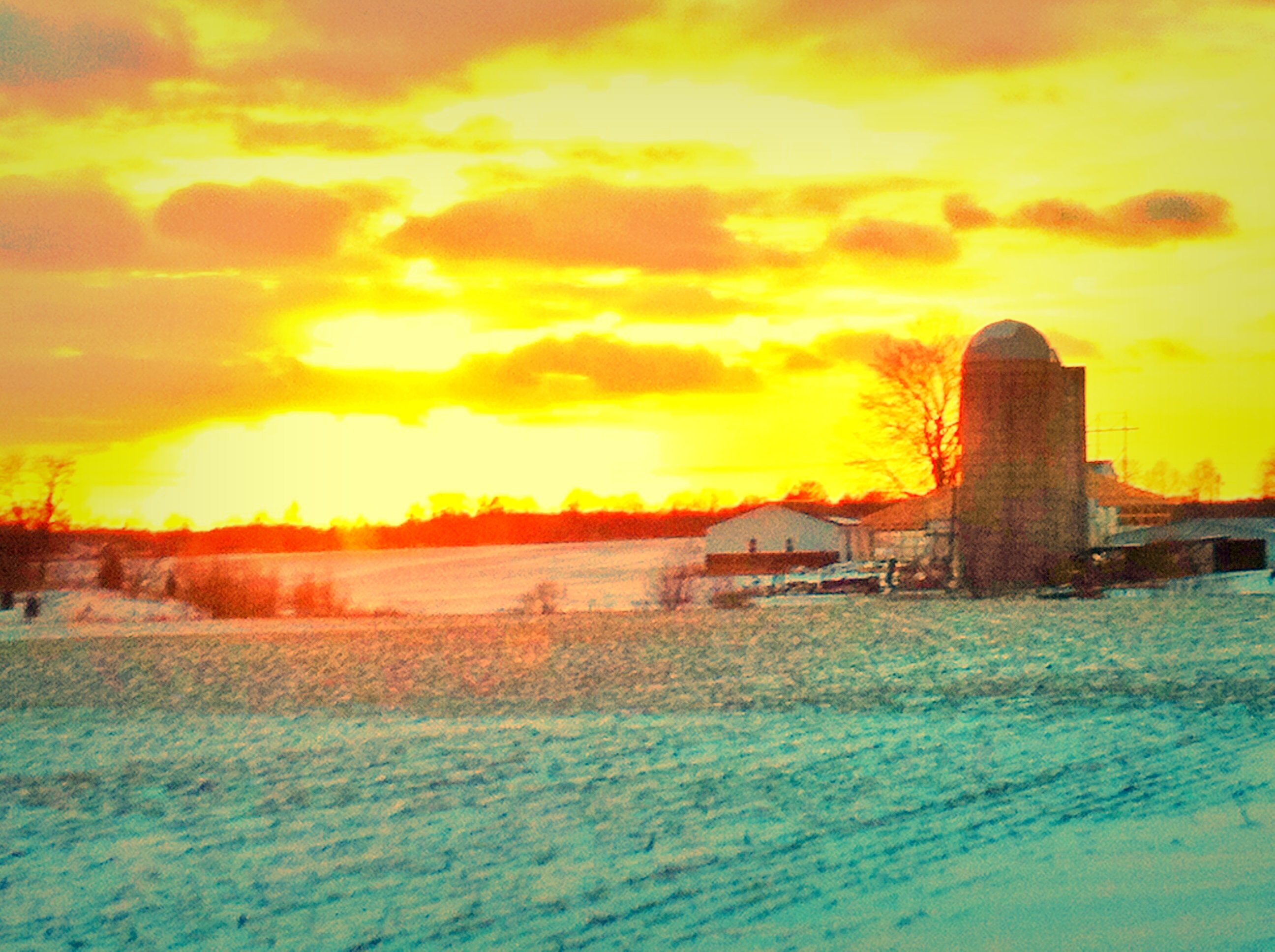
Country Roads
IMG_2421.JPG
IMG_2436.JPG
IMG_2546.JPG

IMG_2420.JPG

COWAN LAKE AT SUNSET

Caesar Creek sunset
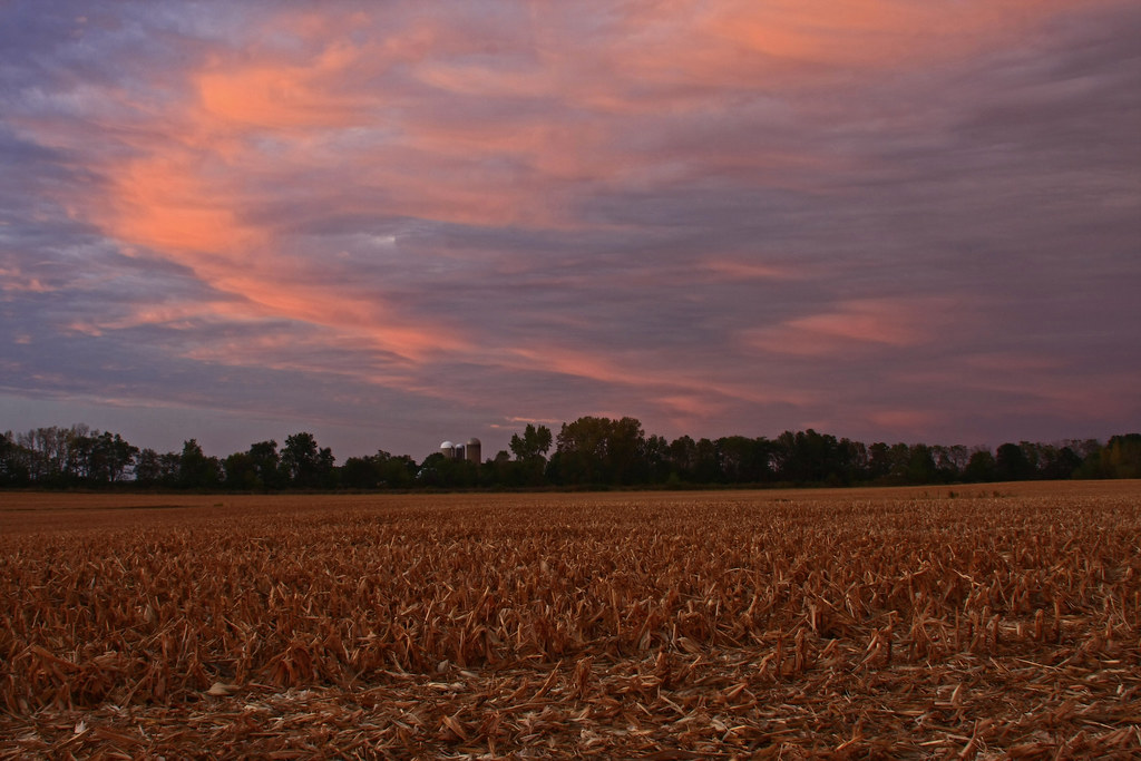
After the Harvest
The Sky turns Pastel

South Kingman, Ohio

Abandoned but still Defiant
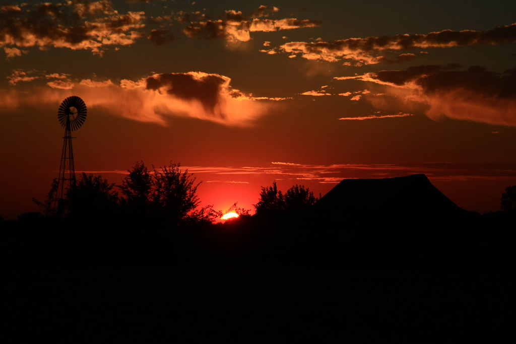
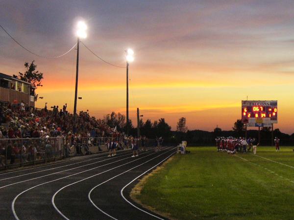
The Last Fiery Gasp of the Sun
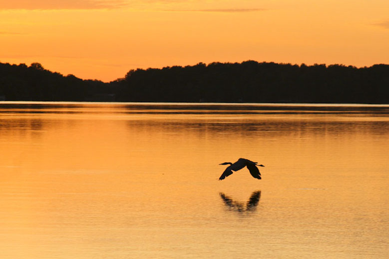
GREAT BLUE HERON INTO SUNSET
POSSIBLY MY FAVORITE PICTURE I'VE EVER TAKEN

Ohio Renaissance Festival 2010

COWAN LAKE AT SUNSET
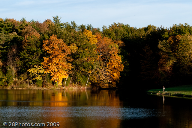
Lone Fisherman

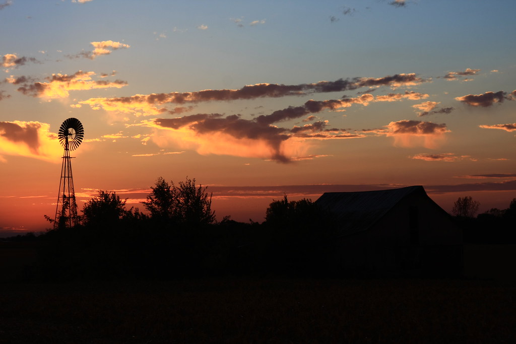
The Sun sets on the small Family Farm
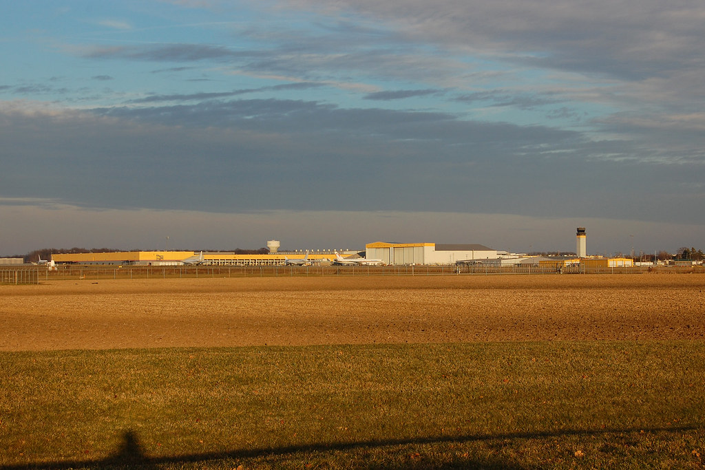
Wilmington Airpark

iPhone Sun Rise

Wilmington Airpark
Meadow Ridge Cir, Wilmington, OH アメリカ合衆国の地図
別の場所を検索
近所の場所
アメリカ合衆国 オハイオ州 クリントン
アメリカ合衆国 〒 オハイオ州 ウィルミントン
12 S South St, Wilmington, OH アメリカ合衆国
E Locust St, Wilmington, OH アメリカ合衆国
アメリカ合衆国 〒 オハイオ州 クリントン
アメリカ合衆国 〒 オハイオ州 ユニオン
Airport Rd, Wilmington, OH アメリカ合衆国ウィルミントン・エアー・パーク
アメリカ合衆国 オハイオ州 ヴァーノン・タウンシップ
OH-, Clarksville, OH アメリカ合衆国
Hiatt Rd, Clarksville, OH アメリカ合衆国
アメリカ合衆国 〒 オハイオ州 クラークスビル
Melvin Rd, Wilmington, OH アメリカ合衆国
Cherrybend Rd, Wilmington, OH アメリカ合衆国
Weller St, Sabina, OH アメリカ合衆国
Hussey Rd, Jamestown, OH アメリカ合衆国
OH-72, Sabina, OH アメリカ合衆国
US-22, Clarksville, OH アメリカ合衆国
アメリカ合衆国 オハイオ州 マシー・タウンシップ
アメリカ合衆国 オハイオ州 ジェファーソン
アメリカ合衆国 オハイオ州 ワシントン
最近の検索
- アメリカ合衆国 アラスカ州 レッド・ドッグ・マイン日の出日の入り時間
- Am bhf, Borken, ドイツアム・バーンホーフ日の出日の入り時間
- 4th St E, Sonoma, CA, USA日の出日の入り時間
- Oakland Ave, Williamsport, PA アメリカ合衆国日の出日の入り時間
- Via Roma, Pieranica CR, イタリアローマ通り日の出日の入り時間
- クロアチア 〒 ドゥブロブニク GradClock Tower of Dubrovnik日の出日の入り時間
- アルゼンチン チュブ州 トレリュー日の出日の入り時間
- Hartfords Bluff Cir, Mt Pleasant, SC アメリカ合衆国日の出日の入り時間
- 日本、熊本県熊本市北区日の出日の入り時間
- 中華人民共和国 福州市 平潭県 平潭島日の出日の入り時間