| 時間帯: | 中国標準時 |
|---|---|
| 現地時間: | 2026年11月14日 土曜日 04:35 |
| 経度: | 79.81907 |
| 緯度: | 37.120031 |
| 今日の日の出時刻: | 09:19:19 |
| 今日の日の入時刻: | 19:33:38 |
| 今日の日長: | 10時間14分18秒 |
| 明日の日の出時刻: | 09:20:23 |
| 明日の日の入時刻: | 19:32:55 |
| 明日の日長: | 10時間12分32秒 |
: すべて表示する
| 日付 | 日出 | 日没 | 日長 |
|---|---|---|---|
| 2026年1月1日 | 09:55:20 | 19:34:11 | 9時間38分50秒 |
| 2026年2月1日 | 09:46:00 | 20:04:40 | 10時間18分40秒 |
| 2026年3月1日 | 09:15:20 | 20:34:19 | 11時間18分59秒 |
| 2026年4月1日 | 08:29:49 | 21:02:32 | 12時間32分43秒 |
| 2026年5月1日 | 07:49:06 | 21:29:16 | 13時間40分10秒 |
| 2026年6月1日 | 07:24:21 | 21:55:15 | 14時間30分53秒 |
| 2026年7月1日 | 07:24:56 | 22:05:57 | 14時間41分1秒 |
| 2026年8月1日 | 07:45:35 | 21:51:05 | 14時間5分29秒 |
| 2026年9月1日 | 08:11:37 | 21:13:50 | 13時間2分13秒 |
| 2026年10月1日 | 08:35:57 | 20:28:16 | 11時間52分18秒 |
| 2026年11月1日 | 09:04:39 | 19:46:30 | 10時間41分51秒 |
| 2026年11月14日 | 09:18:16 | 19:34:23 | 10時間16分7秒 |
| 2026年11月15日 | 09:19:19 | 19:33:38 | 10時間14分18秒 |
| 2026年12月1日 | 09:35:41 | 19:25:45 | 9時間50分3秒 |
日の出と日の入りの写真

Ladakh Sunset, India 2016 by reurinkjan

Ladakh ("land of high passes") (Ladakhi: ལ་དྭགས la'dwags; Hindi: लद्दाख़; Urdu: لَدّاخ) is a region in Indian state of Jammu and Kashmir that currently extends from the Kunlun mountain range[3] to th by ballerina2811
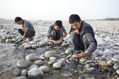
CH9-649.jpg by herwigphoto.com

CH9-651.jpg by herwigphoto.com
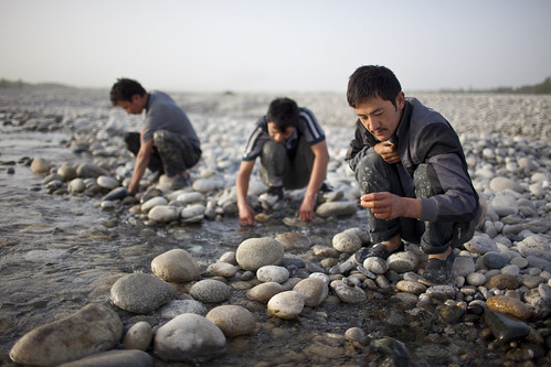
CH9-648.jpg by herwigphoto.com
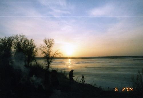
sunset by oldsmokyus

Misty light of dawn over shifting sand dunes. TaklaMakan desert-Xinjiang-China-0344-1 by rweisswald
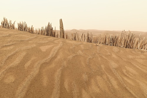
Straw checkerboard sand control barriers. Taklamakan desert-Xinjiang Uyghur region-China-0359 by rweisswald

Straw checkerboard sand control barriers. Taklamakan desert-Xinjiang Uyghur region-China-0357 by rweisswald

130826 2 Taklamakan Desert 78 by Brilliant Bry *

Misty dawn over shifting sand dunes-TaklaMakan desert-Hotan prefecture-Xinjiang Uyghur region-China-0342 by rweisswald

130826 2 Taklamakan Desert 76 by Brilliant Bry *
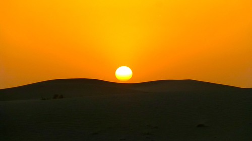
130827 1 Taklamakan Desert 14 by Brilliant Bry *
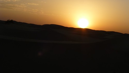
130826 2 Taklamakan Desert 75 by Brilliant Bry *
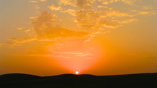
130827 1 Taklamakan Desert 15 by Brilliant Bry *

130827 1 Taklamakan Desert 16 by Brilliant Bry *

130826 2 Taklamakan Desert 69 by Brilliant Bry *
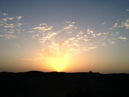
130827 1 Taklamakan Desert 17 by Brilliant Bry *
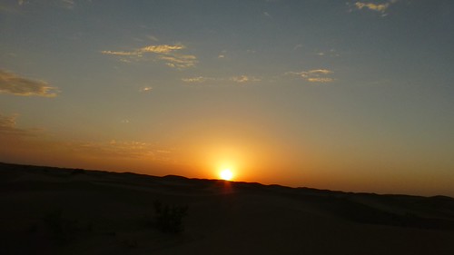
130826 2 Taklamakan Desert 77 by Brilliant Bry *
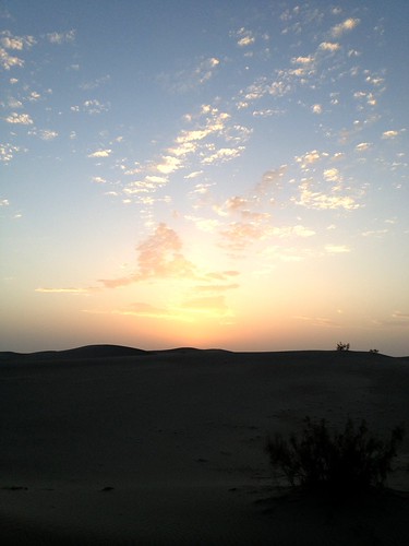
130827 1 Taklamakan Desert 07 by Brilliant Bry *
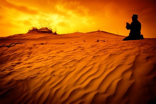
finishedheton by zhou.lijie
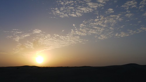
130827 1 Taklamakan Desert 19 by Brilliant Bry *
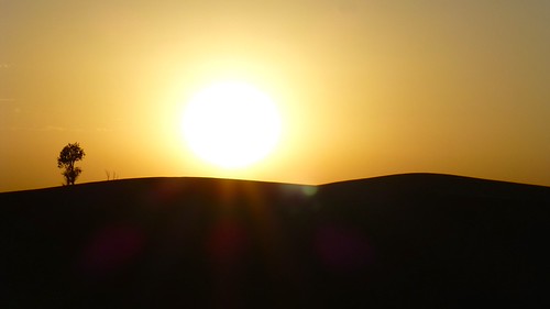
130826 2 Taklamakan Desert 70 by Brilliant Bry *