Hawkeye Rd, Spruce Pine, NC アメリカ合衆国日の出日の入り時間
Location: アメリカ合衆国 > ノース・カロライナ州 > ミッチェル > アメリカ合衆国 ノース・カロライナ州 グラッシー・クリーク > アメリカ合衆国 〒 ノース・カロライナ州 スプルース・パイン >
時間帯:
America/New_York
現地時間:
2025-06-25 13:02:34
経度:
-82.1540308
緯度:
35.8935566
今日の日の出時刻:
06:14:07 AM
今日の日の入時刻:
08:49:09 PM
今日の日長:
14h 35m 2s
明日の日の出時刻:
06:14:29 AM
明日の日の入時刻:
08:49:12 PM
明日の日長:
14h 34m 43s
すべて表示する
| 日付 | 日出 | 日没 | 日長 |
|---|---|---|---|
| 2025年01月01日 | 07:39:02 AM | 05:26:26 PM | 9h 47m 24s |
| 2025年01月02日 | 07:39:09 AM | 05:27:14 PM | 9h 48m 5s |
| 2025年01月03日 | 07:39:14 AM | 05:28:04 PM | 9h 48m 50s |
| 2025年01月04日 | 07:39:17 AM | 05:28:54 PM | 9h 49m 37s |
| 2025年01月05日 | 07:39:18 AM | 05:29:46 PM | 9h 50m 28s |
| 2025年01月06日 | 07:39:18 AM | 05:30:38 PM | 9h 51m 20s |
| 2025年01月07日 | 07:39:15 AM | 05:31:32 PM | 9h 52m 17s |
| 2025年01月08日 | 07:39:10 AM | 05:32:26 PM | 9h 53m 16s |
| 2025年01月09日 | 07:39:03 AM | 05:33:21 PM | 9h 54m 18s |
| 2025年01月10日 | 07:38:55 AM | 05:34:17 PM | 9h 55m 22s |
| 2025年01月11日 | 07:38:44 AM | 05:35:14 PM | 9h 56m 30s |
| 2025年01月12日 | 07:38:32 AM | 05:36:12 PM | 9h 57m 40s |
| 2025年01月13日 | 07:38:17 AM | 05:37:10 PM | 9h 58m 53s |
| 2025年01月14日 | 07:38:01 AM | 05:38:09 PM | 10h 0m 8s |
| 2025年01月15日 | 07:37:43 AM | 05:39:08 PM | 10h 1m 25s |
| 2025年01月16日 | 07:37:22 AM | 05:40:08 PM | 10h 2m 46s |
| 2025年01月17日 | 07:37:00 AM | 05:41:08 PM | 10h 4m 8s |
| 2025年01月18日 | 07:36:36 AM | 05:42:09 PM | 10h 5m 33s |
| 2025年01月19日 | 07:36:10 AM | 05:43:11 PM | 10h 7m 1s |
| 2025年01月20日 | 07:35:42 AM | 05:44:12 PM | 10h 8m 30s |
| 2025年01月21日 | 07:35:13 AM | 05:45:14 PM | 10h 10m 1s |
| 2025年01月22日 | 07:34:42 AM | 05:46:16 PM | 10h 11m 34s |
| 2025年01月23日 | 07:34:08 AM | 05:47:19 PM | 10h 13m 11s |
| 2025年01月24日 | 07:33:33 AM | 05:48:21 PM | 10h 14m 48s |
| 2025年01月25日 | 07:32:57 AM | 05:49:24 PM | 10h 16m 27s |
| 2025年01月26日 | 07:32:18 AM | 05:50:27 PM | 10h 18m 9s |
| 2025年01月27日 | 07:31:38 AM | 05:51:30 PM | 10h 19m 52s |
| 2025年01月28日 | 07:30:56 AM | 05:52:33 PM | 10h 21m 37s |
| 2025年01月29日 | 07:30:13 AM | 05:53:36 PM | 10h 23m 23s |
| 2025年01月30日 | 07:29:28 AM | 05:54:38 PM | 10h 25m 10s |
| 2025年01月31日 | 07:28:41 AM | 05:55:41 PM | 10h 27m 0s |
| 2025年02月01日 | 07:27:53 AM | 05:56:44 PM | 10h 28m 51s |
| 2025年02月02日 | 07:27:03 AM | 05:57:47 PM | 10h 30m 44s |
| 2025年02月03日 | 07:26:12 AM | 05:58:50 PM | 10h 32m 38s |
| 2025年02月04日 | 07:25:19 AM | 05:59:52 PM | 10h 34m 33s |
| 2025年02月05日 | 07:24:25 AM | 06:00:55 PM | 10h 36m 30s |
| 2025年02月06日 | 07:23:29 AM | 06:01:57 PM | 10h 38m 28s |
| 2025年02月07日 | 07:22:32 AM | 06:02:59 PM | 10h 40m 27s |
| 2025年02月08日 | 07:21:34 AM | 06:04:00 PM | 10h 42m 26s |
| 2025年02月09日 | 07:20:34 AM | 06:05:02 PM | 10h 44m 28s |
| 2025年02月10日 | 07:19:33 AM | 06:06:03 PM | 10h 46m 30s |
| 2025年02月11日 | 07:18:31 AM | 06:07:04 PM | 10h 48m 33s |
| 2025年02月12日 | 07:17:28 AM | 06:08:05 PM | 10h 50m 37s |
| 2025年02月13日 | 07:16:23 AM | 06:09:05 PM | 10h 52m 42s |
| 2025年02月14日 | 07:15:17 AM | 06:10:05 PM | 10h 54m 48s |
| 2025年02月15日 | 07:14:10 AM | 06:11:05 PM | 10h 56m 55s |
| 2025年02月16日 | 07:13:02 AM | 06:12:05 PM | 10h 59m 3s |
| 2025年02月17日 | 07:11:53 AM | 06:13:04 PM | 11h 1m 11s |
| 2025年02月18日 | 07:10:43 AM | 06:14:03 PM | 11h 3m 20s |
| 2025年02月19日 | 07:09:32 AM | 06:15:01 PM | 11h 5m 29s |
| 2025年02月20日 | 07:08:20 AM | 06:16:00 PM | 11h 7m 40s |
| 2025年02月21日 | 07:07:07 AM | 06:16:57 PM | 11h 9m 50s |
| 2025年02月22日 | 07:05:53 AM | 06:17:55 PM | 11h 12m 2s |
| 2025年02月23日 | 07:04:38 AM | 06:18:52 PM | 11h 14m 14s |
| 2025年02月24日 | 07:03:23 AM | 06:19:49 PM | 11h 16m 26s |
| 2025年02月25日 | 07:02:06 AM | 06:20:46 PM | 11h 18m 40s |
| 2025年02月26日 | 07:00:49 AM | 06:21:42 PM | 11h 20m 53s |
| 2025年02月27日 | 06:59:31 AM | 06:22:38 PM | 11h 23m 7s |
| 2025年02月28日 | 06:58:12 AM | 06:23:33 PM | 11h 25m 21s |
| 2025年03月01日 | 06:56:53 AM | 06:24:29 PM | 11h 27m 36s |
| 2025年03月02日 | 06:55:33 AM | 06:25:24 PM | 11h 29m 51s |
| 2025年03月03日 | 06:54:12 AM | 06:26:18 PM | 11h 32m 6s |
| 2025年03月04日 | 06:52:51 AM | 06:27:12 PM | 11h 34m 21s |
| 2025年03月05日 | 06:51:29 AM | 06:28:07 PM | 11h 36m 38s |
| 2025年03月06日 | 06:50:07 AM | 06:29:00 PM | 11h 38m 53s |
| 2025年03月07日 | 06:48:44 AM | 06:29:54 PM | 11h 41m 10s |
| 2025年03月08日 | 06:47:21 AM | 06:30:47 PM | 11h 43m 26s |
| 2025年03月09日 | 07:46:01 AM | 07:31:38 PM | 11h 45m 37s |
| 2025年03月10日 | 07:44:37 AM | 07:32:31 PM | 11h 47m 54s |
| 2025年03月11日 | 07:43:12 AM | 07:33:23 PM | 11h 50m 11s |
| 2025年03月12日 | 07:41:48 AM | 07:34:15 PM | 11h 52m 27s |
| 2025年03月13日 | 07:40:23 AM | 07:35:07 PM | 11h 54m 44s |
| 2025年03月14日 | 07:38:57 AM | 07:35:59 PM | 11h 57m 2s |
| 2025年03月15日 | 07:37:32 AM | 07:36:51 PM | 11h 59m 19s |
| 2025年03月16日 | 07:36:06 AM | 07:37:42 PM | 12h 1m 36s |
| 2025年03月17日 | 07:34:40 AM | 07:38:34 PM | 12h 3m 54s |
| 2025年03月18日 | 07:33:13 AM | 07:39:25 PM | 12h 6m 12s |
| 2025年03月19日 | 07:31:47 AM | 07:40:16 PM | 12h 8m 29s |
| 2025年03月20日 | 07:30:21 AM | 07:41:06 PM | 12h 10m 45s |
| 2025年03月21日 | 07:28:54 AM | 07:41:57 PM | 12h 13m 3s |
| 2025年03月22日 | 07:27:28 AM | 07:42:48 PM | 12h 15m 20s |
| 2025年03月23日 | 07:26:01 AM | 07:43:38 PM | 12h 17m 37s |
| 2025年03月24日 | 07:24:35 AM | 07:44:29 PM | 12h 19m 54s |
| 2025年03月25日 | 07:23:08 AM | 07:45:19 PM | 12h 22m 11s |
| 2025年03月26日 | 07:21:42 AM | 07:46:09 PM | 12h 24m 27s |
| 2025年03月27日 | 07:20:15 AM | 07:46:59 PM | 12h 26m 44s |
| 2025年03月28日 | 07:18:49 AM | 07:47:49 PM | 12h 29m 0s |
| 2025年03月29日 | 07:17:23 AM | 07:48:39 PM | 12h 31m 16s |
| 2025年03月30日 | 07:15:57 AM | 07:49:29 PM | 12h 33m 32s |
| 2025年03月31日 | 07:14:32 AM | 07:50:19 PM | 12h 35m 47s |
| 2025年04月01日 | 07:13:06 AM | 07:51:09 PM | 12h 38m 3s |
| 2025年04月02日 | 07:11:41 AM | 07:51:59 PM | 12h 40m 18s |
| 2025年04月03日 | 07:10:17 AM | 07:52:49 PM | 12h 42m 32s |
| 2025年04月04日 | 07:08:52 AM | 07:53:39 PM | 12h 44m 47s |
| 2025年04月05日 | 07:07:28 AM | 07:54:29 PM | 12h 47m 1s |
| 2025年04月06日 | 07:06:05 AM | 07:55:19 PM | 12h 49m 14s |
| 2025年04月07日 | 07:04:41 AM | 07:56:09 PM | 12h 51m 28s |
| 2025年04月08日 | 07:03:19 AM | 07:56:59 PM | 12h 53m 40s |
| 2025年04月09日 | 07:01:56 AM | 07:57:49 PM | 12h 55m 53s |
| 2025年04月10日 | 07:00:34 AM | 07:58:39 PM | 12h 58m 5s |
| 2025年04月11日 | 06:59:13 AM | 07:59:29 PM | 13h 0m 16s |
| 2025年04月12日 | 06:57:53 AM | 08:00:19 PM | 13h 2m 26s |
| 2025年04月13日 | 06:56:33 AM | 08:01:10 PM | 13h 4m 37s |
| 2025年04月14日 | 06:55:13 AM | 08:02:00 PM | 13h 6m 47s |
| 2025年04月15日 | 06:53:54 AM | 08:02:50 PM | 13h 8m 56s |
| 2025年04月16日 | 06:52:36 AM | 08:03:41 PM | 13h 11m 5s |
| 2025年04月17日 | 06:51:19 AM | 08:04:31 PM | 13h 13m 12s |
| 2025年04月18日 | 06:50:02 AM | 08:05:22 PM | 13h 15m 20s |
| 2025年04月19日 | 06:48:47 AM | 08:06:12 PM | 13h 17m 25s |
| 2025年04月20日 | 06:47:32 AM | 08:07:03 PM | 13h 19m 31s |
| 2025年04月21日 | 06:46:17 AM | 08:07:54 PM | 13h 21m 37s |
| 2025年04月22日 | 06:45:04 AM | 08:08:45 PM | 13h 23m 41s |
| 2025年04月23日 | 06:43:52 AM | 08:09:35 PM | 13h 25m 43s |
| 2025年04月24日 | 06:42:40 AM | 08:10:26 PM | 13h 27m 46s |
| 2025年04月25日 | 06:41:30 AM | 08:11:17 PM | 13h 29m 47s |
| 2025年04月26日 | 06:40:20 AM | 08:12:08 PM | 13h 31m 48s |
| 2025年04月27日 | 06:39:12 AM | 08:12:59 PM | 13h 33m 47s |
| 2025年04月28日 | 06:38:04 AM | 08:13:50 PM | 13h 35m 46s |
| 2025年04月29日 | 06:36:58 AM | 08:14:40 PM | 13h 37m 42s |
| 2025年04月30日 | 06:35:52 AM | 08:15:31 PM | 13h 39m 39s |
| 2025年05月01日 | 06:34:48 AM | 08:16:22 PM | 13h 41m 34s |
| 2025年05月02日 | 06:33:45 AM | 08:17:13 PM | 13h 43m 28s |
| 2025年05月03日 | 06:32:43 AM | 08:18:03 PM | 13h 45m 20s |
| 2025年05月04日 | 06:31:42 AM | 08:18:54 PM | 13h 47m 12s |
| 2025年05月05日 | 06:30:43 AM | 08:19:44 PM | 13h 49m 1s |
| 2025年05月06日 | 06:29:45 AM | 08:20:35 PM | 13h 50m 50s |
| 2025年05月07日 | 06:28:48 AM | 08:21:25 PM | 13h 52m 37s |
| 2025年05月08日 | 06:27:52 AM | 08:22:15 PM | 13h 54m 23s |
| 2025年05月09日 | 06:26:58 AM | 08:23:05 PM | 13h 56m 7s |
| 2025年05月10日 | 06:26:05 AM | 08:23:54 PM | 13h 57m 49s |
| 2025年05月11日 | 06:25:13 AM | 08:24:44 PM | 13h 59m 31s |
| 2025年05月12日 | 06:24:23 AM | 08:25:33 PM | 14h 1m 10s |
| 2025年05月13日 | 06:23:34 AM | 08:26:22 PM | 14h 2m 48s |
| 2025年05月14日 | 06:22:47 AM | 08:27:10 PM | 14h 4m 23s |
| 2025年05月15日 | 06:22:01 AM | 08:27:58 PM | 14h 5m 57s |
| 2025年05月16日 | 06:21:17 AM | 08:28:46 PM | 14h 7m 29s |
| 2025年05月17日 | 06:20:34 AM | 08:29:34 PM | 14h 9m 0s |
| 2025年05月18日 | 06:19:52 AM | 08:30:21 PM | 14h 10m 29s |
| 2025年05月19日 | 06:19:13 AM | 08:31:07 PM | 14h 11m 54s |
| 2025年05月20日 | 06:18:34 AM | 08:31:53 PM | 14h 13m 19s |
| 2025年05月21日 | 06:17:58 AM | 08:32:39 PM | 14h 14m 41s |
| 2025年05月22日 | 06:17:23 AM | 08:33:24 PM | 14h 16m 1s |
| 2025年05月23日 | 06:16:49 AM | 08:34:08 PM | 14h 17m 19s |
| 2025年05月24日 | 06:16:18 AM | 08:34:52 PM | 14h 18m 34s |
| 2025年05月25日 | 06:15:47 AM | 08:35:35 PM | 14h 19m 48s |
| 2025年05月26日 | 06:15:19 AM | 08:36:17 PM | 14h 20m 58s |
| 2025年05月27日 | 06:14:52 AM | 08:36:59 PM | 14h 22m 7s |
| 2025年05月28日 | 06:14:27 AM | 08:37:40 PM | 14h 23m 13s |
| 2025年05月29日 | 06:14:04 AM | 08:38:20 PM | 14h 24m 16s |
| 2025年05月30日 | 06:13:42 AM | 08:38:59 PM | 14h 25m 17s |
| 2025年05月31日 | 06:13:22 AM | 08:39:38 PM | 14h 26m 16s |
| 2025年06月01日 | 06:13:03 AM | 08:40:15 PM | 14h 27m 12s |
| 2025年06月02日 | 06:12:47 AM | 08:40:52 PM | 14h 28m 5s |
| 2025年06月03日 | 06:12:32 AM | 08:41:27 PM | 14h 28m 55s |
| 2025年06月04日 | 06:12:18 AM | 08:42:01 PM | 14h 29m 43s |
| 2025年06月05日 | 06:12:07 AM | 08:42:35 PM | 14h 30m 28s |
| 2025年06月06日 | 06:11:57 AM | 08:43:07 PM | 14h 31m 10s |
| 2025年06月07日 | 06:11:48 AM | 08:43:38 PM | 14h 31m 50s |
| 2025年06月08日 | 06:11:42 AM | 08:44:08 PM | 14h 32m 26s |
| 2025年06月09日 | 06:11:37 AM | 08:44:37 PM | 14h 33m 0s |
| 2025年06月10日 | 06:11:34 AM | 08:45:05 PM | 14h 33m 31s |
| 2025年06月11日 | 06:11:32 AM | 08:45:31 PM | 14h 33m 59s |
| 2025年06月12日 | 06:11:33 AM | 08:45:56 PM | 14h 34m 23s |
| 2025年06月13日 | 06:11:34 AM | 08:46:19 PM | 14h 34m 45s |
| 2025年06月14日 | 06:11:38 AM | 08:46:42 PM | 14h 35m 4s |
| 2025年06月15日 | 06:11:43 AM | 08:47:02 PM | 14h 35m 19s |
| 2025年06月16日 | 06:11:49 AM | 08:47:22 PM | 14h 35m 33s |
| 2025年06月17日 | 06:11:58 AM | 08:47:40 PM | 14h 35m 42s |
| 2025年06月18日 | 06:12:07 AM | 08:47:56 PM | 14h 35m 49s |
| 2025年06月19日 | 06:12:19 AM | 08:48:11 PM | 14h 35m 52s |
| 2025年06月20日 | 06:12:31 AM | 08:48:24 PM | 14h 35m 53s |
| 2025年06月21日 | 06:12:46 AM | 08:48:36 PM | 14h 35m 50s |
| 2025年06月22日 | 06:13:01 AM | 08:48:46 PM | 14h 35m 45s |
| 2025年06月23日 | 06:13:18 AM | 08:48:55 PM | 14h 35m 37s |
| 2025年06月24日 | 06:13:37 AM | 08:49:02 PM | 14h 35m 25s |
| 2025年06月25日 | 06:13:57 AM | 08:49:07 PM | 14h 35m 10s |
| 2025年06月26日 | 06:14:18 AM | 08:49:11 PM | 14h 34m 53s |
| 2025年06月27日 | 06:14:41 AM | 08:49:13 PM | 14h 34m 32s |
| 2025年06月28日 | 06:15:05 AM | 08:49:14 PM | 14h 34m 9s |
| 2025年06月29日 | 06:15:30 AM | 08:49:12 PM | 14h 33m 42s |
| 2025年06月30日 | 06:15:56 AM | 08:49:09 PM | 14h 33m 13s |
| 2025年07月01日 | 06:16:23 AM | 08:49:04 PM | 14h 32m 41s |
| 2025年07月02日 | 06:16:52 AM | 08:48:58 PM | 14h 32m 6s |
| 2025年07月03日 | 06:17:22 AM | 08:48:50 PM | 14h 31m 28s |
| 2025年07月04日 | 06:17:53 AM | 08:48:40 PM | 14h 30m 47s |
| 2025年07月05日 | 06:18:25 AM | 08:48:28 PM | 14h 30m 3s |
| 2025年07月06日 | 06:18:57 AM | 08:48:14 PM | 14h 29m 17s |
| 2025年07月07日 | 06:19:31 AM | 08:47:59 PM | 14h 28m 28s |
| 2025年07月08日 | 06:20:06 AM | 08:47:42 PM | 14h 27m 36s |
| 2025年07月09日 | 06:20:42 AM | 08:47:24 PM | 14h 26m 42s |
| 2025年07月10日 | 06:21:18 AM | 08:47:03 PM | 14h 25m 45s |
| 2025年07月11日 | 06:21:56 AM | 08:46:41 PM | 14h 24m 45s |
| 2025年07月12日 | 06:22:34 AM | 08:46:17 PM | 14h 23m 43s |
| 2025年07月13日 | 06:23:13 AM | 08:45:52 PM | 14h 22m 39s |
| 2025年07月14日 | 06:23:52 AM | 08:45:24 PM | 14h 21m 32s |
| 2025年07月15日 | 06:24:33 AM | 08:44:55 PM | 14h 20m 22s |
| 2025年07月16日 | 06:25:14 AM | 08:44:25 PM | 14h 19m 11s |
| 2025年07月17日 | 06:25:55 AM | 08:43:52 PM | 14h 17m 57s |
| 2025年07月18日 | 06:26:37 AM | 08:43:18 PM | 14h 16m 41s |
| 2025年07月19日 | 06:27:20 AM | 08:42:43 PM | 14h 15m 23s |
| 2025年07月20日 | 06:28:03 AM | 08:42:05 PM | 14h 14m 2s |
| 2025年07月21日 | 06:28:47 AM | 08:41:26 PM | 14h 12m 39s |
| 2025年07月22日 | 06:29:31 AM | 08:40:46 PM | 14h 11m 15s |
| 2025年07月23日 | 06:30:15 AM | 08:40:04 PM | 14h 9m 49s |
| 2025年07月24日 | 06:31:00 AM | 08:39:20 PM | 14h 8m 20s |
| 2025年07月25日 | 06:31:45 AM | 08:38:35 PM | 14h 6m 50s |
| 2025年07月26日 | 06:32:31 AM | 08:37:48 PM | 14h 5m 17s |
| 2025年07月27日 | 06:33:17 AM | 08:37:00 PM | 14h 3m 43s |
| 2025年07月28日 | 06:34:03 AM | 08:36:11 PM | 14h 2m 8s |
| 2025年07月29日 | 06:34:49 AM | 08:35:20 PM | 14h 0m 31s |
| 2025年07月30日 | 06:35:35 AM | 08:34:27 PM | 13h 58m 52s |
| 2025年07月31日 | 06:36:22 AM | 08:33:33 PM | 13h 57m 11s |
| 2025年08月01日 | 06:37:09 AM | 08:32:38 PM | 13h 55m 29s |
| 2025年08月02日 | 06:37:56 AM | 08:31:41 PM | 13h 53m 45s |
| 2025年08月03日 | 06:38:43 AM | 08:30:43 PM | 13h 52m 0s |
| 2025年08月04日 | 06:39:30 AM | 08:29:44 PM | 13h 50m 14s |
| 2025年08月05日 | 06:40:18 AM | 08:28:43 PM | 13h 48m 25s |
| 2025年08月06日 | 06:41:05 AM | 08:27:41 PM | 13h 46m 36s |
| 2025年08月07日 | 06:41:52 AM | 08:26:38 PM | 13h 44m 46s |
| 2025年08月08日 | 06:42:40 AM | 08:25:34 PM | 13h 42m 54s |
| 2025年08月09日 | 06:43:27 AM | 08:24:29 PM | 13h 41m 2s |
| 2025年08月10日 | 06:44:15 AM | 08:23:22 PM | 13h 39m 7s |
| 2025年08月11日 | 06:45:02 AM | 08:22:15 PM | 13h 37m 13s |
| 2025年08月12日 | 06:45:50 AM | 08:21:06 PM | 13h 35m 16s |
| 2025年08月13日 | 06:46:37 AM | 08:19:56 PM | 13h 33m 19s |
| 2025年08月14日 | 06:47:24 AM | 08:18:45 PM | 13h 31m 21s |
| 2025年08月15日 | 06:48:12 AM | 08:17:33 PM | 13h 29m 21s |
| 2025年08月16日 | 06:48:59 AM | 08:16:21 PM | 13h 27m 22s |
| 2025年08月17日 | 06:49:46 AM | 08:15:07 PM | 13h 25m 21s |
| 2025年08月18日 | 06:50:33 AM | 08:13:52 PM | 13h 23m 19s |
| 2025年08月19日 | 06:51:20 AM | 08:12:36 PM | 13h 21m 16s |
| 2025年08月20日 | 06:52:07 AM | 08:11:20 PM | 13h 19m 13s |
| 2025年08月21日 | 06:52:54 AM | 08:10:03 PM | 13h 17m 9s |
| 2025年08月22日 | 06:53:41 AM | 08:08:45 PM | 13h 15m 4s |
| 2025年08月23日 | 06:54:27 AM | 08:07:26 PM | 13h 12m 59s |
| 2025年08月24日 | 06:55:14 AM | 08:06:06 PM | 13h 10m 52s |
| 2025年08月25日 | 06:56:00 AM | 08:04:46 PM | 13h 8m 46s |
| 2025年08月26日 | 06:56:47 AM | 08:03:25 PM | 13h 6m 38s |
| 2025年08月27日 | 06:57:33 AM | 08:02:03 PM | 13h 4m 30s |
| 2025年08月28日 | 06:58:19 AM | 08:00:41 PM | 13h 2m 22s |
| 2025年08月29日 | 06:59:05 AM | 07:59:18 PM | 13h 0m 13s |
| 2025年08月30日 | 06:59:51 AM | 07:57:55 PM | 12h 58m 4s |
| 2025年08月31日 | 07:00:37 AM | 07:56:31 PM | 12h 55m 54s |
| 2025年09月01日 | 07:01:23 AM | 07:55:06 PM | 12h 53m 43s |
| 2025年09月02日 | 07:02:09 AM | 07:53:41 PM | 12h 51m 32s |
| 2025年09月03日 | 07:02:55 AM | 07:52:16 PM | 12h 49m 21s |
| 2025年09月04日 | 07:03:41 AM | 07:50:50 PM | 12h 47m 9s |
| 2025年09月05日 | 07:04:26 AM | 07:49:24 PM | 12h 44m 58s |
| 2025年09月06日 | 07:05:12 AM | 07:47:57 PM | 12h 42m 45s |
| 2025年09月07日 | 07:05:58 AM | 07:46:30 PM | 12h 40m 32s |
| 2025年09月08日 | 07:06:43 AM | 07:45:03 PM | 12h 38m 20s |
| 2025年09月09日 | 07:07:29 AM | 07:43:35 PM | 12h 36m 6s |
| 2025年09月10日 | 07:08:15 AM | 07:42:07 PM | 12h 33m 52s |
| 2025年09月11日 | 07:09:00 AM | 07:40:39 PM | 12h 31m 39s |
| 2025年09月12日 | 07:09:46 AM | 07:39:11 PM | 12h 29m 25s |
| 2025年09月13日 | 07:10:32 AM | 07:37:43 PM | 12h 27m 11s |
| 2025年09月14日 | 07:11:17 AM | 07:36:14 PM | 12h 24m 57s |
| 2025年09月15日 | 07:12:03 AM | 07:34:45 PM | 12h 22m 42s |
| 2025年09月16日 | 07:12:49 AM | 07:33:17 PM | 12h 20m 28s |
| 2025年09月17日 | 07:13:35 AM | 07:31:48 PM | 12h 18m 13s |
| 2025年09月18日 | 07:14:21 AM | 07:30:19 PM | 12h 15m 58s |
| 2025年09月19日 | 07:15:07 AM | 07:28:50 PM | 12h 13m 43s |
| 2025年09月20日 | 07:15:53 AM | 07:27:21 PM | 12h 11m 28s |
| 2025年09月21日 | 07:16:40 AM | 07:25:53 PM | 12h 9m 13s |
| 2025年09月22日 | 07:17:26 AM | 07:24:24 PM | 12h 6m 58s |
| 2025年09月23日 | 07:18:13 AM | 07:22:55 PM | 12h 4m 42s |
| 2025年09月24日 | 07:19:00 AM | 07:21:27 PM | 12h 2m 27s |
| 2025年09月25日 | 07:19:47 AM | 07:19:59 PM | 12h 0m 12s |
| 2025年09月26日 | 07:20:34 AM | 07:18:31 PM | 11h 57m 57s |
| 2025年09月27日 | 07:21:21 AM | 07:17:03 PM | 11h 55m 42s |
| 2025年09月28日 | 07:22:09 AM | 07:15:35 PM | 11h 53m 26s |
| 2025年09月29日 | 07:22:57 AM | 07:14:08 PM | 11h 51m 11s |
| 2025年09月30日 | 07:23:45 AM | 07:12:41 PM | 11h 48m 56s |
| 2025年10月01日 | 07:24:33 AM | 07:11:15 PM | 11h 46m 42s |
| 2025年10月02日 | 07:25:21 AM | 07:09:49 PM | 11h 44m 28s |
| 2025年10月03日 | 07:26:10 AM | 07:08:23 PM | 11h 42m 13s |
| 2025年10月04日 | 07:26:59 AM | 07:06:57 PM | 11h 39m 58s |
| 2025年10月05日 | 07:27:48 AM | 07:05:33 PM | 11h 37m 45s |
| 2025年10月06日 | 07:28:38 AM | 07:04:08 PM | 11h 35m 30s |
| 2025年10月07日 | 07:29:28 AM | 07:02:45 PM | 11h 33m 17s |
| 2025年10月08日 | 07:30:18 AM | 07:01:21 PM | 11h 31m 3s |
| 2025年10月09日 | 07:31:09 AM | 06:59:59 PM | 11h 28m 50s |
| 2025年10月10日 | 07:32:00 AM | 06:58:37 PM | 11h 26m 37s |
| 2025年10月11日 | 07:32:51 AM | 06:57:15 PM | 11h 24m 24s |
| 2025年10月12日 | 07:33:42 AM | 06:55:55 PM | 11h 22m 13s |
| 2025年10月13日 | 07:34:34 AM | 06:54:35 PM | 11h 20m 1s |
| 2025年10月14日 | 07:35:26 AM | 06:53:16 PM | 11h 17m 50s |
| 2025年10月15日 | 07:36:19 AM | 06:51:57 PM | 11h 15m 38s |
| 2025年10月16日 | 07:37:12 AM | 06:50:40 PM | 11h 13m 28s |
| 2025年10月17日 | 07:38:05 AM | 06:49:23 PM | 11h 11m 18s |
| 2025年10月18日 | 07:38:59 AM | 06:48:07 PM | 11h 9m 8s |
| 2025年10月19日 | 07:39:53 AM | 06:46:52 PM | 11h 6m 59s |
| 2025年10月20日 | 07:40:47 AM | 06:45:38 PM | 11h 4m 51s |
| 2025年10月21日 | 07:41:42 AM | 06:44:25 PM | 11h 2m 43s |
| 2025年10月22日 | 07:42:37 AM | 06:43:13 PM | 11h 0m 36s |
| 2025年10月23日 | 07:43:32 AM | 06:42:02 PM | 10h 58m 30s |
| 2025年10月24日 | 07:44:28 AM | 06:40:52 PM | 10h 56m 24s |
| 2025年10月25日 | 07:45:24 AM | 06:39:43 PM | 10h 54m 19s |
| 2025年10月26日 | 07:46:20 AM | 06:38:35 PM | 10h 52m 15s |
| 2025年10月27日 | 07:47:17 AM | 06:37:29 PM | 10h 50m 12s |
| 2025年10月28日 | 07:48:14 AM | 06:36:24 PM | 10h 48m 10s |
| 2025年10月29日 | 07:49:11 AM | 06:35:19 PM | 10h 46m 8s |
| 2025年10月30日 | 07:50:09 AM | 06:34:17 PM | 10h 44m 8s |
| 2025年10月31日 | 07:51:07 AM | 06:33:15 PM | 10h 42m 8s |
| 2025年11月01日 | 07:52:05 AM | 06:32:15 PM | 10h 40m 10s |
| 2025年11月02日 | 06:53:06 AM | 05:31:13 PM | 10h 38m 7s |
| 2025年11月03日 | 06:54:05 AM | 05:30:16 PM | 10h 36m 11s |
| 2025年11月04日 | 06:55:04 AM | 05:29:20 PM | 10h 34m 16s |
| 2025年11月05日 | 06:56:03 AM | 05:28:25 PM | 10h 32m 22s |
| 2025年11月06日 | 06:57:03 AM | 05:27:32 PM | 10h 30m 29s |
| 2025年11月07日 | 06:58:03 AM | 05:26:41 PM | 10h 28m 38s |
| 2025年11月08日 | 06:59:02 AM | 05:25:51 PM | 10h 26m 49s |
| 2025年11月09日 | 07:00:02 AM | 05:25:02 PM | 10h 25m 0s |
| 2025年11月10日 | 07:01:02 AM | 05:24:16 PM | 10h 23m 14s |
| 2025年11月11日 | 07:02:02 AM | 05:23:30 PM | 10h 21m 28s |
| 2025年11月12日 | 07:03:02 AM | 05:22:47 PM | 10h 19m 45s |
| 2025年11月13日 | 07:04:02 AM | 05:22:05 PM | 10h 18m 3s |
| 2025年11月14日 | 07:05:02 AM | 05:21:25 PM | 10h 16m 23s |
| 2025年11月15日 | 07:06:02 AM | 05:20:46 PM | 10h 14m 44s |
| 2025年11月16日 | 07:07:02 AM | 05:20:10 PM | 10h 13m 8s |
| 2025年11月17日 | 07:08:02 AM | 05:19:35 PM | 10h 11m 33s |
| 2025年11月18日 | 07:09:02 AM | 05:19:02 PM | 10h 10m 0s |
| 2025年11月19日 | 07:10:01 AM | 05:18:30 PM | 10h 8m 29s |
| 2025年11月20日 | 07:11:01 AM | 05:18:01 PM | 10h 7m 0s |
| 2025年11月21日 | 07:11:59 AM | 05:17:34 PM | 10h 5m 35s |
| 2025年11月22日 | 07:12:58 AM | 05:17:08 PM | 10h 4m 10s |
| 2025年11月23日 | 07:13:56 AM | 05:16:44 PM | 10h 2m 48s |
| 2025年11月24日 | 07:14:54 AM | 05:16:22 PM | 10h 1m 28s |
| 2025年11月25日 | 07:15:52 AM | 05:16:02 PM | 10h 0m 10s |
| 2025年11月26日 | 07:16:49 AM | 05:15:45 PM | 9h 58m 56s |
| 2025年11月27日 | 07:17:45 AM | 05:15:29 PM | 9h 57m 44s |
| 2025年11月28日 | 07:18:41 AM | 05:15:15 PM | 9h 56m 34s |
| 2025年11月29日 | 07:19:36 AM | 05:15:03 PM | 9h 55m 27s |
| 2025年11月30日 | 07:20:31 AM | 05:14:53 PM | 9h 54m 22s |
| 2025年12月01日 | 07:21:24 AM | 05:14:45 PM | 9h 53m 21s |
| 2025年12月02日 | 07:22:18 AM | 05:14:39 PM | 9h 52m 21s |
| 2025年12月03日 | 07:23:10 AM | 05:14:35 PM | 9h 51m 25s |
| 2025年12月04日 | 07:24:01 AM | 05:14:33 PM | 9h 50m 32s |
| 2025年12月05日 | 07:24:51 AM | 05:14:33 PM | 9h 49m 42s |
| 2025年12月06日 | 07:25:41 AM | 05:14:35 PM | 9h 48m 54s |
| 2025年12月07日 | 07:26:29 AM | 05:14:39 PM | 9h 48m 10s |
| 2025年12月08日 | 07:27:17 AM | 05:14:45 PM | 9h 47m 28s |
| 2025年12月09日 | 07:28:03 AM | 05:14:53 PM | 9h 46m 50s |
| 2025年12月10日 | 07:28:48 AM | 05:15:03 PM | 9h 46m 15s |
| 2025年12月11日 | 07:29:32 AM | 05:15:15 PM | 9h 45m 43s |
| 2025年12月12日 | 07:30:14 AM | 05:15:29 PM | 9h 45m 15s |
| 2025年12月13日 | 07:30:56 AM | 05:15:45 PM | 9h 44m 49s |
| 2025年12月14日 | 07:31:36 AM | 05:16:02 PM | 9h 44m 26s |
| 2025年12月15日 | 07:32:14 AM | 05:16:22 PM | 9h 44m 8s |
| 2025年12月16日 | 07:32:51 AM | 05:16:43 PM | 9h 43m 52s |
| 2025年12月17日 | 07:33:27 AM | 05:17:07 PM | 9h 43m 40s |
| 2025年12月18日 | 07:34:01 AM | 05:17:32 PM | 9h 43m 31s |
| 2025年12月19日 | 07:34:33 AM | 05:17:59 PM | 9h 43m 26s |
| 2025年12月20日 | 07:35:04 AM | 05:18:27 PM | 9h 43m 23s |
| 2025年12月21日 | 07:35:34 AM | 05:18:58 PM | 9h 43m 24s |
| 2025年12月22日 | 07:36:01 AM | 05:19:30 PM | 9h 43m 29s |
| 2025年12月23日 | 07:36:27 AM | 05:20:04 PM | 9h 43m 37s |
| 2025年12月24日 | 07:36:51 AM | 05:20:39 PM | 9h 43m 48s |
| 2025年12月25日 | 07:37:14 AM | 05:21:16 PM | 9h 44m 2s |
| 2025年12月26日 | 07:37:34 AM | 05:21:54 PM | 9h 44m 20s |
| 2025年12月27日 | 07:37:53 AM | 05:22:34 PM | 9h 44m 41s |
| 2025年12月28日 | 07:38:10 AM | 05:23:15 PM | 9h 45m 5s |
| 2025年12月29日 | 07:38:25 AM | 05:23:58 PM | 9h 45m 33s |
| 2025年12月30日 | 07:38:39 AM | 05:24:42 PM | 9h 46m 3s |
| 2025年12月31日 | 07:38:50 AM | 05:25:28 PM | 9h 46m 38s |
写真

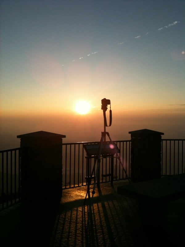
Classic Clinchfield

Sunrise at the Orchard

#USAirways flight to #Charlotte, #NorthCarolina / #CLT / #CharlotteDouglasInternationalAirport

#home #walking #mountain #roanmountain #wnc #hiking #mitchellcounty #Bakersville #nc #northcarolina #sunset #dusk #peace #path #trail #namaste #moodbooster #meditation #exercise #appalachia #blueridge #smokeymountains #appalachian

DM and Z Sunset enhanced - full saturation

Stream at Penland, NC 1

The sunset was amazing

Beautiful sunset to end ASP day 1
Mt Mitchell State Park Rstrnt
Sunset enhanced

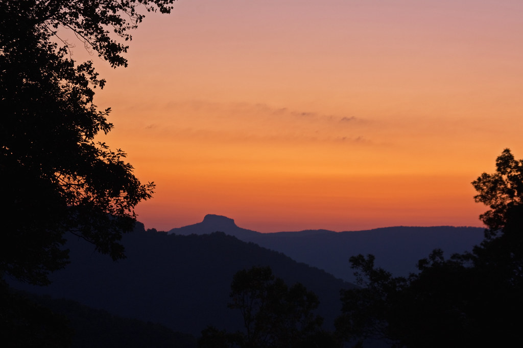
Little Switzerland Sunset

DM and Z Sunset enhanced

April 14-2012-120-1

Blue Ridge Parkway Panorama
BRP Sunrise
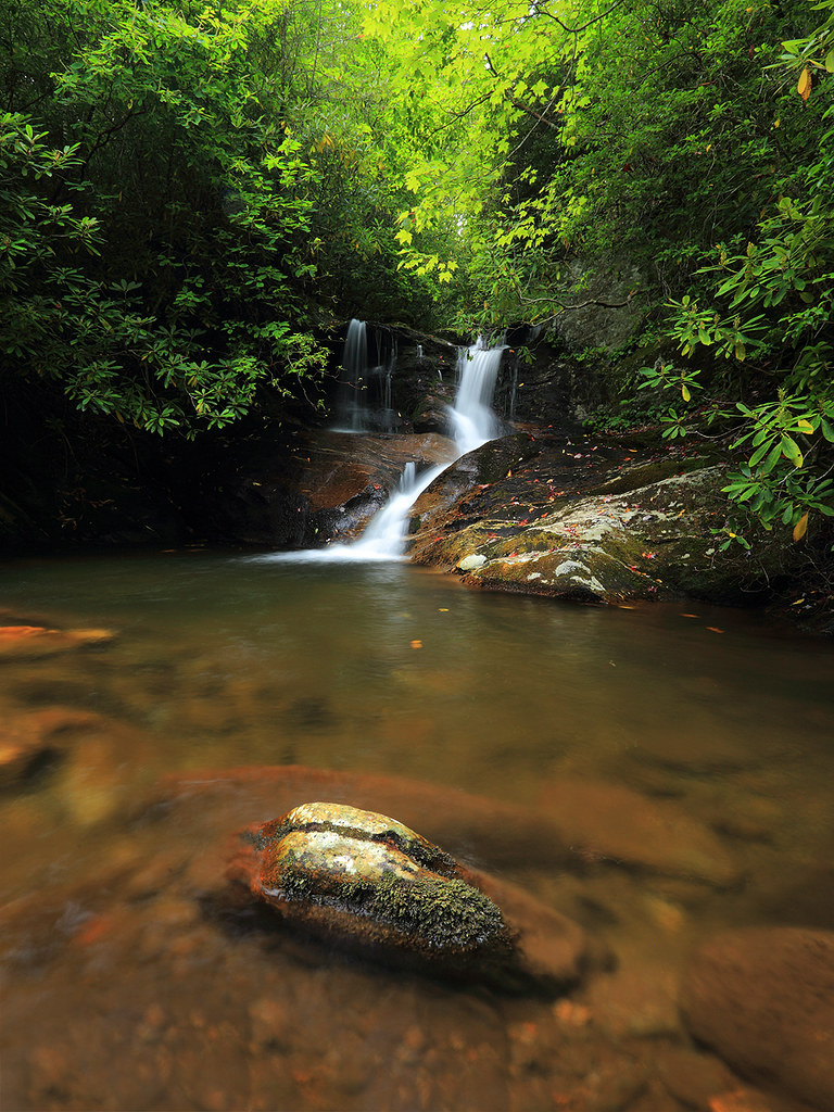
White Oak Creek
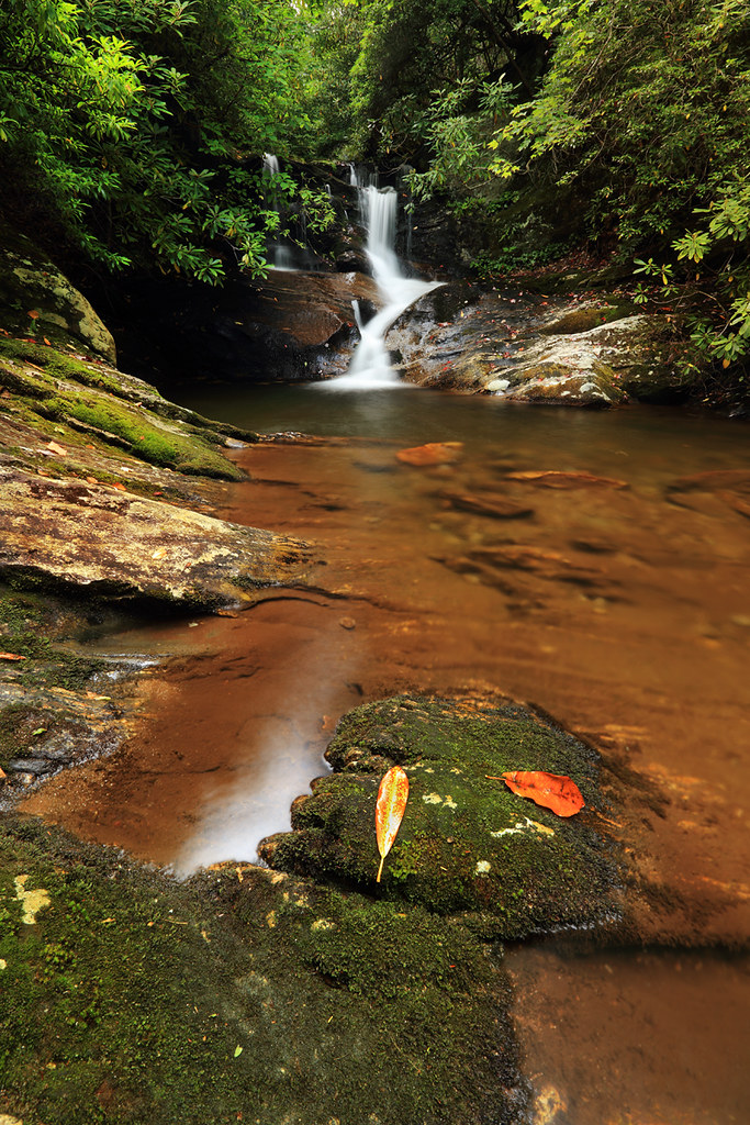
White Oak Creek Falls

Tiny Purple House at Sunrise

Blue Ridge Parkway

Little Switzerland Sunrise
Early Light on the Blue Ridge

Molly and the Little Switzerland Sunrise

#blueridgemoments #blueridgemountains #pisgahnationalforest #morningwalk #mountainsunrise #springinthemountains #wildflowers #sunrise

#blueridgemoments #blueridgemountains #pisgahnationalforest #morningwalk #mountainsunrise #springinthemountains #moss #sunrise #ferns

#blueridgemoments #blueridgemountains #pisgahnationalforest #morningwalk #mountainsunrise #springinthemountains #wildflowers #sunrise
Hawkeye Rd, Spruce Pine, NC アメリカ合衆国の地図
別の場所を検索
近所の場所
Buchanan Ln, Burnsville, NC アメリカ合衆国
Ed Young Rd, Crabtree, NC アメリカ合衆国エド・ヤング・ロード
Laurel Ridge Dr, Spruce Pine, NC アメリカ合衆国
10 Rattlesnake Rd, Spruce Pine, NC アメリカ合衆国
Hoot Owl Rd, Spruce Pine, NC アメリカ合衆国
Hoot Owl Rd, Spruce Pine, NC アメリカ合衆国
Blue Branch Rd, Crabtree, NC アメリカ合衆国ブルー・ブランチ・ロード
Rabbit Hop Rd, Spruce Pine, NC アメリカ合衆国
40 Dale Gouge Rd, Burnsville, NC アメリカ合衆国
Blue Rock Rd, Burnsville, NC アメリカ合衆国
Blue Rock Rd, Burnsville, NC アメリカ合衆国
Blue Rock Rd, Burnsville, NC アメリカ合衆国
Blue Rock Rd, Burnsville, NC アメリカ合衆国
Cabbage Patch Rd, Burnsville, NC アメリカ合衆国
Hall's Chapel Rd, Burnsville, NC アメリカ合衆国
Brushy Creek Rd, Grassy Creek, NC アメリカ合衆国ブラッシー・クリーク・ロード
Deneen Rd, Burnsville, NC アメリカ合衆国
Pine Tree Rd, Spruce Pine, NC アメリカ合衆国
Skyline Rd, Spruce Pine, NC アメリカ合衆国
Windy River Ridge, Burnsville, NC アメリカ合衆国
最近の検索
- アメリカ合衆国 アラスカ州 レッド・ドッグ・マイン日の出日の入り時間
- Am bhf, Borken, ドイツアム・バーンホーフ日の出日の入り時間
- 4th St E, Sonoma, CA, USA日の出日の入り時間
- Oakland Ave, Williamsport, PA アメリカ合衆国日の出日の入り時間
- Via Roma, Pieranica CR, イタリアローマ通り日の出日の入り時間
- クロアチア 〒 ドゥブロブニク GradClock Tower of Dubrovnik日の出日の入り時間
- アルゼンチン チュブ州 トレリュー日の出日の入り時間
- Hartfords Bluff Cir, Mt Pleasant, SC アメリカ合衆国日の出日の入り時間
- 日本、熊本県熊本市北区日の出日の入り時間
- 中華人民共和国 福州市 平潭県 平潭島日の出日の入り時間