アメリカ合衆国 〒 カリフォルニア州 ハロラン・スプリングス日の出日の入り時間
Location: アメリカ合衆国 > カリフォルニア州 > サン・バーナディーノ > アメリカ合衆国 カリフォルニア州 ベイカー >
時間帯:
America/Los_Angeles
現地時間:
2025-06-23 23:11:16
経度:
-115.890915
緯度:
35.370331
今日の日の出時刻:
05:29:55 AM
今日の日の入時刻:
08:02:27 PM
今日の日長:
14h 32m 32s
明日の日の出時刻:
05:30:14 AM
明日の日の入時刻:
08:02:33 PM
明日の日長:
14h 32m 19s
すべて表示する
| 日付 | 日出 | 日没 | 日長 |
|---|---|---|---|
| 2025年01月01日 | 06:52:39 AM | 04:42:55 PM | 9h 50m 16s |
| 2025年01月02日 | 06:52:46 AM | 04:43:43 PM | 9h 50m 57s |
| 2025年01月03日 | 06:52:51 AM | 04:44:32 PM | 9h 51m 41s |
| 2025年01月04日 | 06:52:54 AM | 04:45:22 PM | 9h 52m 28s |
| 2025年01月05日 | 06:52:55 AM | 04:46:13 PM | 9h 53m 18s |
| 2025年01月06日 | 06:52:55 AM | 04:47:06 PM | 9h 54m 11s |
| 2025年01月07日 | 06:52:52 AM | 04:47:59 PM | 9h 55m 7s |
| 2025年01月08日 | 06:52:48 AM | 04:48:53 PM | 9h 56m 5s |
| 2025年01月09日 | 06:52:41 AM | 04:49:47 PM | 9h 57m 6s |
| 2025年01月10日 | 06:52:33 AM | 04:50:43 PM | 9h 58m 10s |
| 2025年01月11日 | 06:52:23 AM | 04:51:39 PM | 9h 59m 16s |
| 2025年01月12日 | 06:52:10 AM | 04:52:36 PM | 10h 0m 26s |
| 2025年01月13日 | 06:51:56 AM | 04:53:34 PM | 10h 1m 38s |
| 2025年01月14日 | 06:51:40 AM | 04:54:32 PM | 10h 2m 52s |
| 2025年01月15日 | 06:51:22 AM | 04:55:31 PM | 10h 4m 9s |
| 2025年01月16日 | 06:51:03 AM | 04:56:30 PM | 10h 5m 27s |
| 2025年01月17日 | 06:50:41 AM | 04:57:30 PM | 10h 6m 49s |
| 2025年01月18日 | 06:50:17 AM | 04:58:30 PM | 10h 8m 13s |
| 2025年01月19日 | 06:49:52 AM | 04:59:30 PM | 10h 9m 38s |
| 2025年01月20日 | 06:49:25 AM | 05:00:31 PM | 10h 11m 6s |
| 2025年01月21日 | 06:48:56 AM | 05:01:32 PM | 10h 12m 36s |
| 2025年01月22日 | 06:48:25 AM | 05:02:33 PM | 10h 14m 8s |
| 2025年01月23日 | 06:47:52 AM | 05:03:35 PM | 10h 15m 43s |
| 2025年01月24日 | 06:47:18 AM | 05:04:36 PM | 10h 17m 18s |
| 2025年01月25日 | 06:46:42 AM | 05:05:38 PM | 10h 18m 56s |
| 2025年01月26日 | 06:46:04 AM | 05:06:40 PM | 10h 20m 36s |
| 2025年01月27日 | 06:45:24 AM | 05:07:42 PM | 10h 22m 18s |
| 2025年01月28日 | 06:44:43 AM | 05:08:44 PM | 10h 24m 1s |
| 2025年01月29日 | 06:44:01 AM | 05:09:45 PM | 10h 25m 44s |
| 2025年01月30日 | 06:43:16 AM | 05:10:47 PM | 10h 27m 31s |
| 2025年01月31日 | 06:42:30 AM | 05:11:49 PM | 10h 29m 19s |
| 2025年02月01日 | 06:41:43 AM | 05:12:51 PM | 10h 31m 8s |
| 2025年02月02日 | 06:40:54 AM | 05:13:53 PM | 10h 32m 59s |
| 2025年02月03日 | 06:40:03 AM | 05:14:54 PM | 10h 34m 51s |
| 2025年02月04日 | 06:39:12 AM | 05:15:55 PM | 10h 36m 43s |
| 2025年02月05日 | 06:38:18 AM | 05:16:56 PM | 10h 38m 38s |
| 2025年02月06日 | 06:37:24 AM | 05:17:57 PM | 10h 40m 33s |
| 2025年02月07日 | 06:36:27 AM | 05:18:58 PM | 10h 42m 31s |
| 2025年02月08日 | 06:35:30 AM | 05:19:59 PM | 10h 44m 29s |
| 2025年02月09日 | 06:34:31 AM | 05:20:59 PM | 10h 46m 28s |
| 2025年02月10日 | 06:33:31 AM | 05:21:59 PM | 10h 48m 28s |
| 2025年02月11日 | 06:32:30 AM | 05:22:59 PM | 10h 50m 29s |
| 2025年02月12日 | 06:31:27 AM | 05:23:58 PM | 10h 52m 31s |
| 2025年02月13日 | 06:30:24 AM | 05:24:57 PM | 10h 54m 33s |
| 2025年02月14日 | 06:29:19 AM | 05:25:56 PM | 10h 56m 37s |
| 2025年02月15日 | 06:28:13 AM | 05:26:54 PM | 10h 58m 41s |
| 2025年02月16日 | 06:27:06 AM | 05:27:53 PM | 11h 0m 47s |
| 2025年02月17日 | 06:25:58 AM | 05:28:51 PM | 11h 2m 53s |
| 2025年02月18日 | 06:24:49 AM | 05:29:48 PM | 11h 4m 59s |
| 2025年02月19日 | 06:23:39 AM | 05:30:45 PM | 11h 7m 6s |
| 2025年02月20日 | 06:22:28 AM | 05:31:42 PM | 11h 9m 14s |
| 2025年02月21日 | 06:21:16 AM | 05:32:39 PM | 11h 11m 23s |
| 2025年02月22日 | 06:20:03 AM | 05:33:35 PM | 11h 13m 32s |
| 2025年02月23日 | 06:18:49 AM | 05:34:31 PM | 11h 15m 42s |
| 2025年02月24日 | 06:17:35 AM | 05:35:26 PM | 11h 17m 51s |
| 2025年02月25日 | 06:16:20 AM | 05:36:21 PM | 11h 20m 1s |
| 2025年02月26日 | 06:15:03 AM | 05:37:16 PM | 11h 22m 13s |
| 2025年02月27日 | 06:13:47 AM | 05:38:11 PM | 11h 24m 24s |
| 2025年02月28日 | 06:12:29 AM | 05:39:05 PM | 11h 26m 36s |
| 2025年03月01日 | 06:11:11 AM | 05:39:59 PM | 11h 28m 48s |
| 2025年03月02日 | 06:09:52 AM | 05:40:53 PM | 11h 31m 1s |
| 2025年03月03日 | 06:08:33 AM | 05:41:46 PM | 11h 33m 13s |
| 2025年03月04日 | 06:07:13 AM | 05:42:39 PM | 11h 35m 26s |
| 2025年03月05日 | 06:05:52 AM | 05:43:32 PM | 11h 37m 40s |
| 2025年03月06日 | 06:04:31 AM | 05:44:24 PM | 11h 39m 53s |
| 2025年03月07日 | 06:03:09 AM | 05:45:16 PM | 11h 42m 7s |
| 2025年03月08日 | 06:01:47 AM | 05:46:08 PM | 11h 44m 21s |
| 2025年03月09日 | 07:00:28 AM | 06:46:57 PM | 11h 46m 29s |
| 2025年03月10日 | 06:59:05 AM | 06:47:49 PM | 11h 48m 44s |
| 2025年03月11日 | 06:57:42 AM | 06:48:40 PM | 11h 50m 58s |
| 2025年03月12日 | 06:56:19 AM | 06:49:31 PM | 11h 53m 12s |
| 2025年03月13日 | 06:54:55 AM | 06:50:21 PM | 11h 55m 26s |
| 2025年03月14日 | 06:53:31 AM | 06:51:12 PM | 11h 57m 41s |
| 2025年03月15日 | 06:52:06 AM | 06:52:02 PM | 11h 59m 56s |
| 2025年03月16日 | 06:50:42 AM | 06:52:52 PM | 12h 2m 10s |
| 2025年03月17日 | 06:49:17 AM | 06:53:42 PM | 12h 4m 25s |
| 2025年03月18日 | 06:47:52 AM | 06:54:32 PM | 12h 6m 40s |
| 2025年03月19日 | 06:46:27 AM | 06:55:22 PM | 12h 8m 55s |
| 2025年03月20日 | 06:45:02 AM | 06:56:11 PM | 12h 11m 9s |
| 2025年03月21日 | 06:43:37 AM | 06:57:01 PM | 12h 13m 24s |
| 2025年03月22日 | 06:42:12 AM | 06:57:50 PM | 12h 15m 38s |
| 2025年03月23日 | 06:40:46 AM | 06:58:39 PM | 12h 17m 53s |
| 2025年03月24日 | 06:39:21 AM | 06:59:28 PM | 12h 20m 7s |
| 2025年03月25日 | 06:37:56 AM | 07:00:17 PM | 12h 22m 21s |
| 2025年03月26日 | 06:36:31 AM | 07:01:06 PM | 12h 24m 35s |
| 2025年03月27日 | 06:35:06 AM | 07:01:55 PM | 12h 26m 49s |
| 2025年03月28日 | 06:33:41 AM | 07:02:43 PM | 12h 29m 2s |
| 2025年03月29日 | 06:32:16 AM | 07:03:32 PM | 12h 31m 16s |
| 2025年03月30日 | 06:30:52 AM | 07:04:21 PM | 12h 33m 29s |
| 2025年03月31日 | 06:29:28 AM | 07:05:09 PM | 12h 35m 41s |
| 2025年04月01日 | 06:28:04 AM | 07:05:58 PM | 12h 37m 54s |
| 2025年04月02日 | 06:26:40 AM | 07:06:47 PM | 12h 40m 7s |
| 2025年04月03日 | 06:25:17 AM | 07:07:35 PM | 12h 42m 18s |
| 2025年04月04日 | 06:23:53 AM | 07:08:24 PM | 12h 44m 31s |
| 2025年04月05日 | 06:22:31 AM | 07:09:13 PM | 12h 46m 42s |
| 2025年04月06日 | 06:21:09 AM | 07:10:01 PM | 12h 48m 52s |
| 2025年04月07日 | 06:19:47 AM | 07:10:50 PM | 12h 51m 3s |
| 2025年04月08日 | 06:18:25 AM | 07:11:39 PM | 12h 53m 14s |
| 2025年04月09日 | 06:17:04 AM | 07:12:28 PM | 12h 55m 24s |
| 2025年04月10日 | 06:15:44 AM | 07:13:16 PM | 12h 57m 32s |
| 2025年04月11日 | 06:14:24 AM | 07:14:05 PM | 12h 59m 41s |
| 2025年04月12日 | 06:13:05 AM | 07:14:54 PM | 13h 1m 49s |
| 2025年04月13日 | 06:11:46 AM | 07:15:43 PM | 13h 3m 57s |
| 2025年04月14日 | 06:10:28 AM | 07:16:32 PM | 13h 6m 4s |
| 2025年04月15日 | 06:09:11 AM | 07:17:21 PM | 13h 8m 10s |
| 2025年04月16日 | 06:07:54 AM | 07:18:11 PM | 13h 10m 17s |
| 2025年04月17日 | 06:06:38 AM | 07:19:00 PM | 13h 12m 22s |
| 2025年04月18日 | 06:05:23 AM | 07:19:49 PM | 13h 14m 26s |
| 2025年04月19日 | 06:04:09 AM | 07:20:39 PM | 13h 16m 30s |
| 2025年04月20日 | 06:02:55 AM | 07:21:28 PM | 13h 18m 33s |
| 2025年04月21日 | 06:01:42 AM | 07:22:18 PM | 13h 20m 36s |
| 2025年04月22日 | 06:00:31 AM | 07:23:07 PM | 13h 22m 36s |
| 2025年04月23日 | 05:59:20 AM | 07:23:57 PM | 13h 24m 37s |
| 2025年04月24日 | 05:58:09 AM | 07:24:46 PM | 13h 26m 37s |
| 2025年04月25日 | 05:57:00 AM | 07:25:36 PM | 13h 28m 36s |
| 2025年04月26日 | 05:55:52 AM | 07:26:26 PM | 13h 30m 34s |
| 2025年04月27日 | 05:54:45 AM | 07:27:15 PM | 13h 32m 30s |
| 2025年04月28日 | 05:53:39 AM | 07:28:05 PM | 13h 34m 26s |
| 2025年04月29日 | 05:52:34 AM | 07:28:55 PM | 13h 36m 21s |
| 2025年04月30日 | 05:51:30 AM | 07:29:44 PM | 13h 38m 14s |
| 2025年05月01日 | 05:50:27 AM | 07:30:34 PM | 13h 40m 7s |
| 2025年05月02日 | 05:49:25 AM | 07:31:23 PM | 13h 41m 58s |
| 2025年05月03日 | 05:48:25 AM | 07:32:13 PM | 13h 43m 48s |
| 2025年05月04日 | 05:47:25 AM | 07:33:02 PM | 13h 45m 37s |
| 2025年05月05日 | 05:46:27 AM | 07:33:52 PM | 13h 47m 25s |
| 2025年05月06日 | 05:45:30 AM | 07:34:41 PM | 13h 49m 11s |
| 2025年05月07日 | 05:44:35 AM | 07:35:30 PM | 13h 50m 55s |
| 2025年05月08日 | 05:43:41 AM | 07:36:19 PM | 13h 52m 38s |
| 2025年05月09日 | 05:42:48 AM | 07:37:08 PM | 13h 54m 20s |
| 2025年05月10日 | 05:41:56 AM | 07:37:56 PM | 13h 56m 0s |
| 2025年05月11日 | 05:41:06 AM | 07:38:45 PM | 13h 57m 39s |
| 2025年05月12日 | 05:40:17 AM | 07:39:33 PM | 13h 59m 16s |
| 2025年05月13日 | 05:39:29 AM | 07:40:20 PM | 14h 0m 51s |
| 2025年05月14日 | 05:38:43 AM | 07:41:08 PM | 14h 2m 25s |
| 2025年05月15日 | 05:37:59 AM | 07:41:55 PM | 14h 3m 56s |
| 2025年05月16日 | 05:37:16 AM | 07:42:42 PM | 14h 5m 26s |
| 2025年05月17日 | 05:36:34 AM | 07:43:28 PM | 14h 6m 54s |
| 2025年05月18日 | 05:35:54 AM | 07:44:14 PM | 14h 8m 20s |
| 2025年05月19日 | 05:35:15 AM | 07:45:00 PM | 14h 9m 45s |
| 2025年05月20日 | 05:34:38 AM | 07:45:45 PM | 14h 11m 7s |
| 2025年05月21日 | 05:34:03 AM | 07:46:29 PM | 14h 12m 26s |
| 2025年05月22日 | 05:33:29 AM | 07:47:14 PM | 14h 13m 45s |
| 2025年05月23日 | 05:32:57 AM | 07:47:57 PM | 14h 15m 0s |
| 2025年05月24日 | 05:32:26 AM | 07:48:40 PM | 14h 16m 14s |
| 2025年05月25日 | 05:31:57 AM | 07:49:22 PM | 14h 17m 25s |
| 2025年05月26日 | 05:31:30 AM | 07:50:03 PM | 14h 18m 33s |
| 2025年05月27日 | 05:31:04 AM | 07:50:44 PM | 14h 19m 40s |
| 2025年05月28日 | 05:30:40 AM | 07:51:24 PM | 14h 20m 44s |
| 2025年05月29日 | 05:30:17 AM | 07:52:04 PM | 14h 21m 47s |
| 2025年05月30日 | 05:29:57 AM | 07:52:42 PM | 14h 22m 45s |
| 2025年05月31日 | 05:29:38 AM | 07:53:19 PM | 14h 23m 41s |
| 2025年06月01日 | 05:29:20 AM | 07:53:56 PM | 14h 24m 36s |
| 2025年06月02日 | 05:29:04 AM | 07:54:32 PM | 14h 25m 28s |
| 2025年06月03日 | 05:28:50 AM | 07:55:07 PM | 14h 26m 17s |
| 2025年06月04日 | 05:28:38 AM | 07:55:40 PM | 14h 27m 2s |
| 2025年06月05日 | 05:28:27 AM | 07:56:13 PM | 14h 27m 46s |
| 2025年06月06日 | 05:28:18 AM | 07:56:45 PM | 14h 28m 27s |
| 2025年06月07日 | 05:28:10 AM | 07:57:15 PM | 14h 29m 5s |
| 2025年06月08日 | 05:28:05 AM | 07:57:44 PM | 14h 29m 39s |
| 2025年06月09日 | 05:28:01 AM | 07:58:13 PM | 14h 30m 12s |
| 2025年06月10日 | 05:27:58 AM | 07:58:39 PM | 14h 30m 41s |
| 2025年06月11日 | 05:27:57 AM | 07:59:05 PM | 14h 31m 8s |
| 2025年06月12日 | 05:27:58 AM | 07:59:30 PM | 14h 31m 32s |
| 2025年06月13日 | 05:28:00 AM | 07:59:53 PM | 14h 31m 53s |
| 2025年06月14日 | 05:28:04 AM | 08:00:14 PM | 14h 32m 10s |
| 2025年06月15日 | 05:28:10 AM | 08:00:35 PM | 14h 32m 25s |
| 2025年06月16日 | 05:28:17 AM | 08:00:54 PM | 14h 32m 37s |
| 2025年06月17日 | 05:28:26 AM | 08:01:11 PM | 14h 32m 45s |
| 2025年06月18日 | 05:28:36 AM | 08:01:27 PM | 14h 32m 51s |
| 2025年06月19日 | 05:28:47 AM | 08:01:42 PM | 14h 32m 55s |
| 2025年06月20日 | 05:29:00 AM | 08:01:55 PM | 14h 32m 55s |
| 2025年06月21日 | 05:29:15 AM | 08:02:06 PM | 14h 32m 51s |
| 2025年06月22日 | 05:29:31 AM | 08:02:16 PM | 14h 32m 45s |
| 2025年06月23日 | 05:29:48 AM | 08:02:25 PM | 14h 32m 37s |
| 2025年06月24日 | 05:30:07 AM | 08:02:31 PM | 14h 32m 24s |
| 2025年06月25日 | 05:30:27 AM | 08:02:37 PM | 14h 32m 10s |
| 2025年06月26日 | 05:30:48 AM | 08:02:40 PM | 14h 31m 52s |
| 2025年06月27日 | 05:31:11 AM | 08:02:42 PM | 14h 31m 31s |
| 2025年06月28日 | 05:31:35 AM | 08:02:42 PM | 14h 31m 7s |
| 2025年06月29日 | 05:32:00 AM | 08:02:41 PM | 14h 30m 41s |
| 2025年06月30日 | 05:32:26 AM | 08:02:38 PM | 14h 30m 12s |
| 2025年07月01日 | 05:32:54 AM | 08:02:33 PM | 14h 29m 39s |
| 2025年07月02日 | 05:33:22 AM | 08:02:26 PM | 14h 29m 4s |
| 2025年07月03日 | 05:33:52 AM | 08:02:18 PM | 14h 28m 26s |
| 2025年07月04日 | 05:34:22 AM | 08:02:08 PM | 14h 27m 46s |
| 2025年07月05日 | 05:34:54 AM | 08:01:57 PM | 14h 27m 3s |
| 2025年07月06日 | 05:35:27 AM | 08:01:43 PM | 14h 26m 16s |
| 2025年07月07日 | 05:36:00 AM | 08:01:28 PM | 14h 25m 28s |
| 2025年07月08日 | 05:36:35 AM | 08:01:11 PM | 14h 24m 36s |
| 2025年07月09日 | 05:37:10 AM | 08:00:53 PM | 14h 23m 43s |
| 2025年07月10日 | 05:37:46 AM | 08:00:33 PM | 14h 22m 47s |
| 2025年07月11日 | 05:38:23 AM | 08:00:11 PM | 14h 21m 48s |
| 2025年07月12日 | 05:39:01 AM | 07:59:47 PM | 14h 20m 46s |
| 2025年07月13日 | 05:39:39 AM | 07:59:22 PM | 14h 19m 43s |
| 2025年07月14日 | 05:40:18 AM | 07:58:55 PM | 14h 18m 37s |
| 2025年07月15日 | 05:40:58 AM | 07:58:26 PM | 14h 17m 28s |
| 2025年07月16日 | 05:41:38 AM | 07:57:56 PM | 14h 16m 18s |
| 2025年07月17日 | 05:42:19 AM | 07:57:24 PM | 14h 15m 5s |
| 2025年07月18日 | 05:43:00 AM | 07:56:50 PM | 14h 13m 50s |
| 2025年07月19日 | 05:43:42 AM | 07:56:15 PM | 14h 12m 33s |
| 2025年07月20日 | 05:44:25 AM | 07:55:38 PM | 14h 11m 13s |
| 2025年07月21日 | 05:45:08 AM | 07:55:00 PM | 14h 9m 52s |
| 2025年07月22日 | 05:45:51 AM | 07:54:20 PM | 14h 8m 29s |
| 2025年07月23日 | 05:46:35 AM | 07:53:39 PM | 14h 7m 4s |
| 2025年07月24日 | 05:47:19 AM | 07:52:56 PM | 14h 5m 37s |
| 2025年07月25日 | 05:48:03 AM | 07:52:11 PM | 14h 4m 8s |
| 2025年07月26日 | 05:48:48 AM | 07:51:25 PM | 14h 2m 37s |
| 2025年07月27日 | 05:49:32 AM | 07:50:37 PM | 14h 1m 5s |
| 2025年07月28日 | 05:50:18 AM | 07:49:48 PM | 13h 59m 30s |
| 2025年07月29日 | 05:51:03 AM | 07:48:58 PM | 13h 57m 55s |
| 2025年07月30日 | 05:51:48 AM | 07:48:06 PM | 13h 56m 18s |
| 2025年07月31日 | 05:52:34 AM | 07:47:13 PM | 13h 54m 39s |
| 2025年08月01日 | 05:53:20 AM | 07:46:18 PM | 13h 52m 58s |
| 2025年08月02日 | 05:54:06 AM | 07:45:23 PM | 13h 51m 17s |
| 2025年08月03日 | 05:54:52 AM | 07:44:25 PM | 13h 49m 33s |
| 2025年08月04日 | 05:55:38 AM | 07:43:27 PM | 13h 47m 49s |
| 2025年08月05日 | 05:56:24 AM | 07:42:27 PM | 13h 46m 3s |
| 2025年08月06日 | 05:57:11 AM | 07:41:26 PM | 13h 44m 15s |
| 2025年08月07日 | 05:57:57 AM | 07:40:24 PM | 13h 42m 27s |
| 2025年08月08日 | 05:58:43 AM | 07:39:21 PM | 13h 40m 38s |
| 2025年08月09日 | 05:59:30 AM | 07:38:16 PM | 13h 38m 46s |
| 2025年08月10日 | 06:00:16 AM | 07:37:10 PM | 13h 36m 54s |
| 2025年08月11日 | 06:01:02 AM | 07:36:04 PM | 13h 35m 2s |
| 2025年08月12日 | 06:01:49 AM | 07:34:56 PM | 13h 33m 7s |
| 2025年08月13日 | 06:02:35 AM | 07:33:47 PM | 13h 31m 12s |
| 2025年08月14日 | 06:03:21 AM | 07:32:37 PM | 13h 29m 16s |
| 2025年08月15日 | 06:04:07 AM | 07:31:26 PM | 13h 27m 19s |
| 2025年08月16日 | 06:04:53 AM | 07:30:14 PM | 13h 25m 21s |
| 2025年08月17日 | 06:05:39 AM | 07:29:01 PM | 13h 23m 22s |
| 2025年08月18日 | 06:06:25 AM | 07:27:48 PM | 13h 21m 23s |
| 2025年08月19日 | 06:07:11 AM | 07:26:33 PM | 13h 19m 22s |
| 2025年08月20日 | 06:07:56 AM | 07:25:18 PM | 13h 17m 22s |
| 2025年08月21日 | 06:08:42 AM | 07:24:02 PM | 13h 15m 20s |
| 2025年08月22日 | 06:09:27 AM | 07:22:45 PM | 13h 13m 18s |
| 2025年08月23日 | 06:10:13 AM | 07:21:27 PM | 13h 11m 14s |
| 2025年08月24日 | 06:10:58 AM | 07:20:08 PM | 13h 9m 10s |
| 2025年08月25日 | 06:11:43 AM | 07:18:49 PM | 13h 7m 6s |
| 2025年08月26日 | 06:12:29 AM | 07:17:29 PM | 13h 5m 0s |
| 2025年08月27日 | 06:13:14 AM | 07:16:09 PM | 13h 2m 55s |
| 2025年08月28日 | 06:13:59 AM | 07:14:47 PM | 13h 0m 48s |
| 2025年08月29日 | 06:14:43 AM | 07:13:26 PM | 12h 58m 43s |
| 2025年08月30日 | 06:15:28 AM | 07:12:03 PM | 12h 56m 35s |
| 2025年08月31日 | 06:16:13 AM | 07:10:41 PM | 12h 54m 28s |
| 2025年09月01日 | 06:16:58 AM | 07:09:17 PM | 12h 52m 19s |
| 2025年09月02日 | 06:17:42 AM | 07:07:53 PM | 12h 50m 11s |
| 2025年09月03日 | 06:18:27 AM | 07:06:29 PM | 12h 48m 2s |
| 2025年09月04日 | 06:19:11 AM | 07:05:04 PM | 12h 45m 53s |
| 2025年09月05日 | 06:19:56 AM | 07:03:39 PM | 12h 43m 43s |
| 2025年09月06日 | 06:20:40 AM | 07:02:14 PM | 12h 41m 34s |
| 2025年09月07日 | 06:21:24 AM | 07:00:48 PM | 12h 39m 24s |
| 2025年09月08日 | 06:22:09 AM | 06:59:22 PM | 12h 37m 13s |
| 2025年09月09日 | 06:22:53 AM | 06:57:56 PM | 12h 35m 3s |
| 2025年09月10日 | 06:23:37 AM | 06:56:29 PM | 12h 32m 52s |
| 2025年09月11日 | 06:24:22 AM | 06:55:02 PM | 12h 30m 40s |
| 2025年09月12日 | 06:25:06 AM | 06:53:35 PM | 12h 28m 29s |
| 2025年09月13日 | 06:25:51 AM | 06:52:08 PM | 12h 26m 17s |
| 2025年09月14日 | 06:26:35 AM | 06:50:41 PM | 12h 24m 6s |
| 2025年09月15日 | 06:27:20 AM | 06:49:13 PM | 12h 21m 53s |
| 2025年09月16日 | 06:28:04 AM | 06:47:46 PM | 12h 19m 42s |
| 2025年09月17日 | 06:28:49 AM | 06:46:18 PM | 12h 17m 29s |
| 2025年09月18日 | 06:29:34 AM | 06:44:51 PM | 12h 15m 17s |
| 2025年09月19日 | 06:30:19 AM | 06:43:23 PM | 12h 13m 4s |
| 2025年09月20日 | 06:31:04 AM | 06:41:56 PM | 12h 10m 52s |
| 2025年09月21日 | 06:31:49 AM | 06:40:28 PM | 12h 8m 39s |
| 2025年09月22日 | 06:32:34 AM | 06:39:01 PM | 12h 6m 27s |
| 2025年09月23日 | 06:33:19 AM | 06:37:34 PM | 12h 4m 15s |
| 2025年09月24日 | 06:34:05 AM | 06:36:06 PM | 12h 2m 1s |
| 2025年09月25日 | 06:34:51 AM | 06:34:40 PM | 11h 59m 49s |
| 2025年09月26日 | 06:35:36 AM | 06:33:13 PM | 11h 57m 37s |
| 2025年09月27日 | 06:36:23 AM | 06:31:46 PM | 11h 55m 23s |
| 2025年09月28日 | 06:37:09 AM | 06:30:20 PM | 11h 53m 11s |
| 2025年09月29日 | 06:37:55 AM | 06:28:54 PM | 11h 50m 59s |
| 2025年09月30日 | 06:38:42 AM | 06:27:29 PM | 11h 48m 47s |
| 2025年10月01日 | 06:39:29 AM | 06:26:04 PM | 11h 46m 35s |
| 2025年10月02日 | 06:40:16 AM | 06:24:39 PM | 11h 44m 23s |
| 2025年10月03日 | 06:41:04 AM | 06:23:15 PM | 11h 42m 11s |
| 2025年10月04日 | 06:41:52 AM | 06:21:51 PM | 11h 39m 59s |
| 2025年10月05日 | 06:42:40 AM | 06:20:27 PM | 11h 37m 47s |
| 2025年10月06日 | 06:43:28 AM | 06:19:04 PM | 11h 35m 36s |
| 2025年10月07日 | 06:44:17 AM | 06:17:42 PM | 11h 33m 25s |
| 2025年10月08日 | 06:45:06 AM | 06:16:20 PM | 11h 31m 14s |
| 2025年10月09日 | 06:45:55 AM | 06:14:59 PM | 11h 29m 4s |
| 2025年10月10日 | 06:46:45 AM | 06:13:38 PM | 11h 26m 53s |
| 2025年10月11日 | 06:47:35 AM | 06:12:18 PM | 11h 24m 43s |
| 2025年10月12日 | 06:48:25 AM | 06:10:59 PM | 11h 22m 34s |
| 2025年10月13日 | 06:49:16 AM | 06:09:41 PM | 11h 20m 25s |
| 2025年10月14日 | 06:50:07 AM | 06:08:23 PM | 11h 18m 16s |
| 2025年10月15日 | 06:50:58 AM | 06:07:06 PM | 11h 16m 8s |
| 2025年10月16日 | 06:51:50 AM | 06:05:50 PM | 11h 14m 0s |
| 2025年10月17日 | 06:52:42 AM | 06:04:34 PM | 11h 11m 52s |
| 2025年10月18日 | 06:53:34 AM | 06:03:20 PM | 11h 9m 46s |
| 2025年10月19日 | 06:54:27 AM | 06:02:07 PM | 11h 7m 40s |
| 2025年10月20日 | 06:55:20 AM | 06:00:54 PM | 11h 5m 34s |
| 2025年10月21日 | 06:56:14 AM | 05:59:42 PM | 11h 3m 28s |
| 2025年10月22日 | 06:57:08 AM | 05:58:32 PM | 11h 1m 24s |
| 2025年10月23日 | 06:58:02 AM | 05:57:22 PM | 10h 59m 20s |
| 2025年10月24日 | 06:58:57 AM | 05:56:14 PM | 10h 57m 17s |
| 2025年10月25日 | 06:59:52 AM | 05:55:06 PM | 10h 55m 14s |
| 2025年10月26日 | 07:00:47 AM | 05:54:00 PM | 10h 53m 13s |
| 2025年10月27日 | 07:01:42 AM | 05:52:55 PM | 10h 51m 13s |
| 2025年10月28日 | 07:02:38 AM | 05:51:51 PM | 10h 49m 13s |
| 2025年10月29日 | 07:03:35 AM | 05:50:49 PM | 10h 47m 14s |
| 2025年10月30日 | 07:04:31 AM | 05:49:47 PM | 10h 45m 16s |
| 2025年10月31日 | 07:05:28 AM | 05:48:47 PM | 10h 43m 19s |
| 2025年11月01日 | 07:06:25 AM | 05:47:48 PM | 10h 41m 23s |
| 2025年11月02日 | 06:07:25 AM | 04:46:49 PM | 10h 39m 24s |
| 2025年11月03日 | 06:08:23 AM | 04:45:53 PM | 10h 37m 30s |
| 2025年11月04日 | 06:09:21 AM | 04:44:58 PM | 10h 35m 37s |
| 2025年11月05日 | 06:10:19 AM | 04:44:05 PM | 10h 33m 46s |
| 2025年11月06日 | 06:11:17 AM | 04:43:13 PM | 10h 31m 56s |
| 2025年11月07日 | 06:12:16 AM | 04:42:23 PM | 10h 30m 7s |
| 2025年11月08日 | 06:13:14 AM | 04:41:35 PM | 10h 28m 21s |
| 2025年11月09日 | 06:14:13 AM | 04:40:48 PM | 10h 26m 35s |
| 2025年11月10日 | 06:15:12 AM | 04:40:02 PM | 10h 24m 50s |
| 2025年11月11日 | 06:16:11 AM | 04:39:18 PM | 10h 23m 7s |
| 2025年11月12日 | 06:17:10 AM | 04:38:36 PM | 10h 21m 26s |
| 2025年11月13日 | 06:18:09 AM | 04:37:56 PM | 10h 19m 47s |
| 2025年11月14日 | 06:19:08 AM | 04:37:17 PM | 10h 18m 9s |
| 2025年11月15日 | 06:20:07 AM | 04:36:40 PM | 10h 16m 33s |
| 2025年11月16日 | 06:21:06 AM | 04:36:05 PM | 10h 14m 59s |
| 2025年11月17日 | 06:22:05 AM | 04:35:31 PM | 10h 13m 26s |
| 2025年11月18日 | 06:23:04 AM | 04:34:59 PM | 10h 11m 55s |
| 2025年11月19日 | 06:24:02 AM | 04:34:30 PM | 10h 10m 28s |
| 2025年11月20日 | 06:25:01 AM | 04:34:01 PM | 10h 9m 0s |
| 2025年11月21日 | 06:25:59 AM | 04:33:35 PM | 10h 7m 36s |
| 2025年11月22日 | 06:26:56 AM | 04:33:11 PM | 10h 6m 15s |
| 2025年11月23日 | 06:27:54 AM | 04:32:48 PM | 10h 4m 54s |
| 2025年11月24日 | 06:28:51 AM | 04:32:28 PM | 10h 3m 37s |
| 2025年11月25日 | 06:29:47 AM | 04:32:09 PM | 10h 2m 22s |
| 2025年11月26日 | 06:30:43 AM | 04:31:52 PM | 10h 1m 9s |
| 2025年11月27日 | 06:31:39 AM | 04:31:38 PM | 9h 59m 59s |
| 2025年11月28日 | 06:32:34 AM | 04:31:25 PM | 9h 58m 51s |
| 2025年11月29日 | 06:33:28 AM | 04:31:14 PM | 9h 57m 46s |
| 2025年11月30日 | 06:34:22 AM | 04:31:05 PM | 9h 56m 43s |
| 2025年12月01日 | 06:35:15 AM | 04:30:58 PM | 9h 55m 43s |
| 2025年12月02日 | 06:36:07 AM | 04:30:53 PM | 9h 54m 46s |
| 2025年12月03日 | 06:36:59 AM | 04:30:50 PM | 9h 53m 51s |
| 2025年12月04日 | 06:37:49 AM | 04:30:49 PM | 9h 53m 0s |
| 2025年12月05日 | 06:38:39 AM | 04:30:50 PM | 9h 52m 11s |
| 2025年12月06日 | 06:39:28 AM | 04:30:53 PM | 9h 51m 25s |
| 2025年12月07日 | 06:40:15 AM | 04:30:58 PM | 9h 50m 43s |
| 2025年12月08日 | 06:41:02 AM | 04:31:05 PM | 9h 50m 3s |
| 2025年12月09日 | 06:41:48 AM | 04:31:14 PM | 9h 49m 26s |
| 2025年12月10日 | 06:42:32 AM | 04:31:25 PM | 9h 48m 53s |
| 2025年12月11日 | 06:43:15 AM | 04:31:38 PM | 9h 48m 23s |
| 2025年12月12日 | 06:43:57 AM | 04:31:52 PM | 9h 47m 55s |
| 2025年12月13日 | 06:44:38 AM | 04:32:09 PM | 9h 47m 31s |
| 2025年12月14日 | 06:45:17 AM | 04:32:27 PM | 9h 47m 10s |
| 2025年12月15日 | 06:45:55 AM | 04:32:47 PM | 9h 46m 52s |
| 2025年12月16日 | 06:46:32 AM | 04:33:09 PM | 9h 46m 37s |
| 2025年12月17日 | 06:47:07 AM | 04:33:33 PM | 9h 46m 26s |
| 2025年12月18日 | 06:47:41 AM | 04:33:59 PM | 9h 46m 18s |
| 2025年12月19日 | 06:48:13 AM | 04:34:26 PM | 9h 46m 13s |
| 2025年12月20日 | 06:48:43 AM | 04:34:55 PM | 9h 46m 12s |
| 2025年12月21日 | 06:49:12 AM | 04:35:26 PM | 9h 46m 14s |
| 2025年12月22日 | 06:49:40 AM | 04:35:58 PM | 9h 46m 18s |
| 2025年12月23日 | 06:50:05 AM | 04:36:32 PM | 9h 46m 27s |
| 2025年12月24日 | 06:50:29 AM | 04:37:08 PM | 9h 46m 39s |
| 2025年12月25日 | 06:50:52 AM | 04:37:45 PM | 9h 46m 53s |
| 2025年12月26日 | 06:51:12 AM | 04:38:23 PM | 9h 47m 11s |
| 2025年12月27日 | 06:51:31 AM | 04:39:03 PM | 9h 47m 32s |
| 2025年12月28日 | 06:51:48 AM | 04:39:45 PM | 9h 47m 57s |
| 2025年12月29日 | 06:52:03 AM | 04:40:27 PM | 9h 48m 24s |
| 2025年12月30日 | 06:52:16 AM | 04:41:11 PM | 9h 48m 55s |
| 2025年12月31日 | 06:52:27 AM | 04:41:57 PM | 9h 49m 30s |
写真
Nerd time!!! #CES #VEGAS
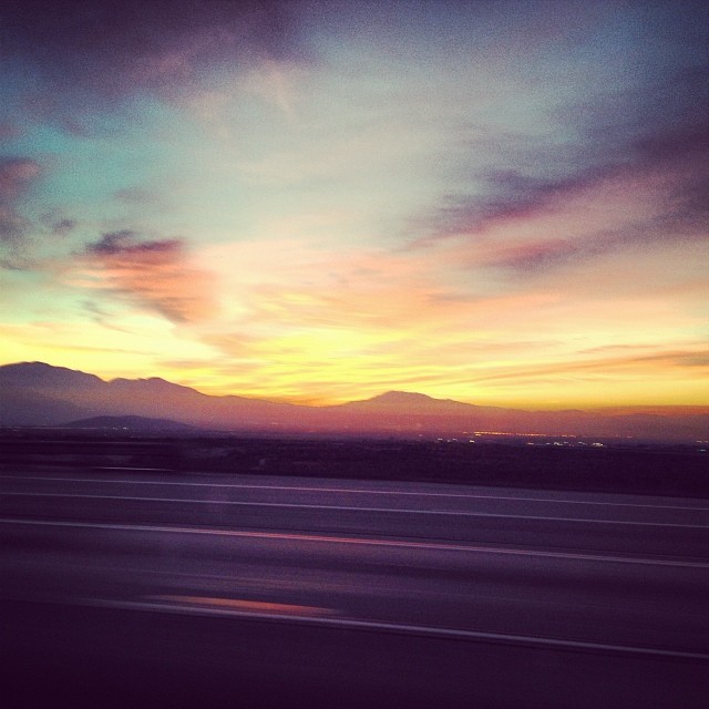
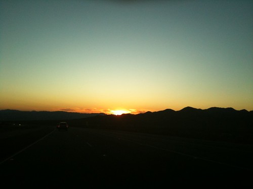
I-15 from the Turquoise Hills at sunset
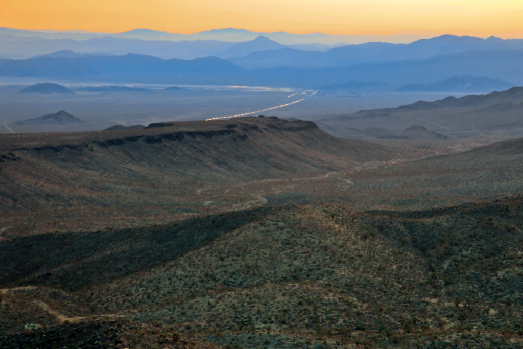
Turquoise Hills summit view
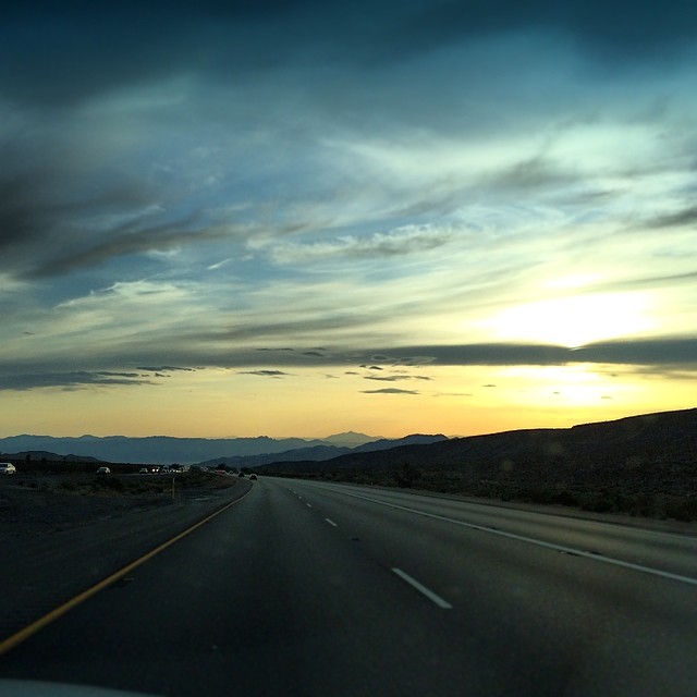
Always a fan of afternoon #chiaroscuro, especially whilst driving! #latergram
2011-01-13_-1553_4_5_Desert Sunset.jpg

California Road Trip 2017 with Sam
Sunset at Baker, CA
Driving thru the Mojave desert on the way to a winery in Temecula!
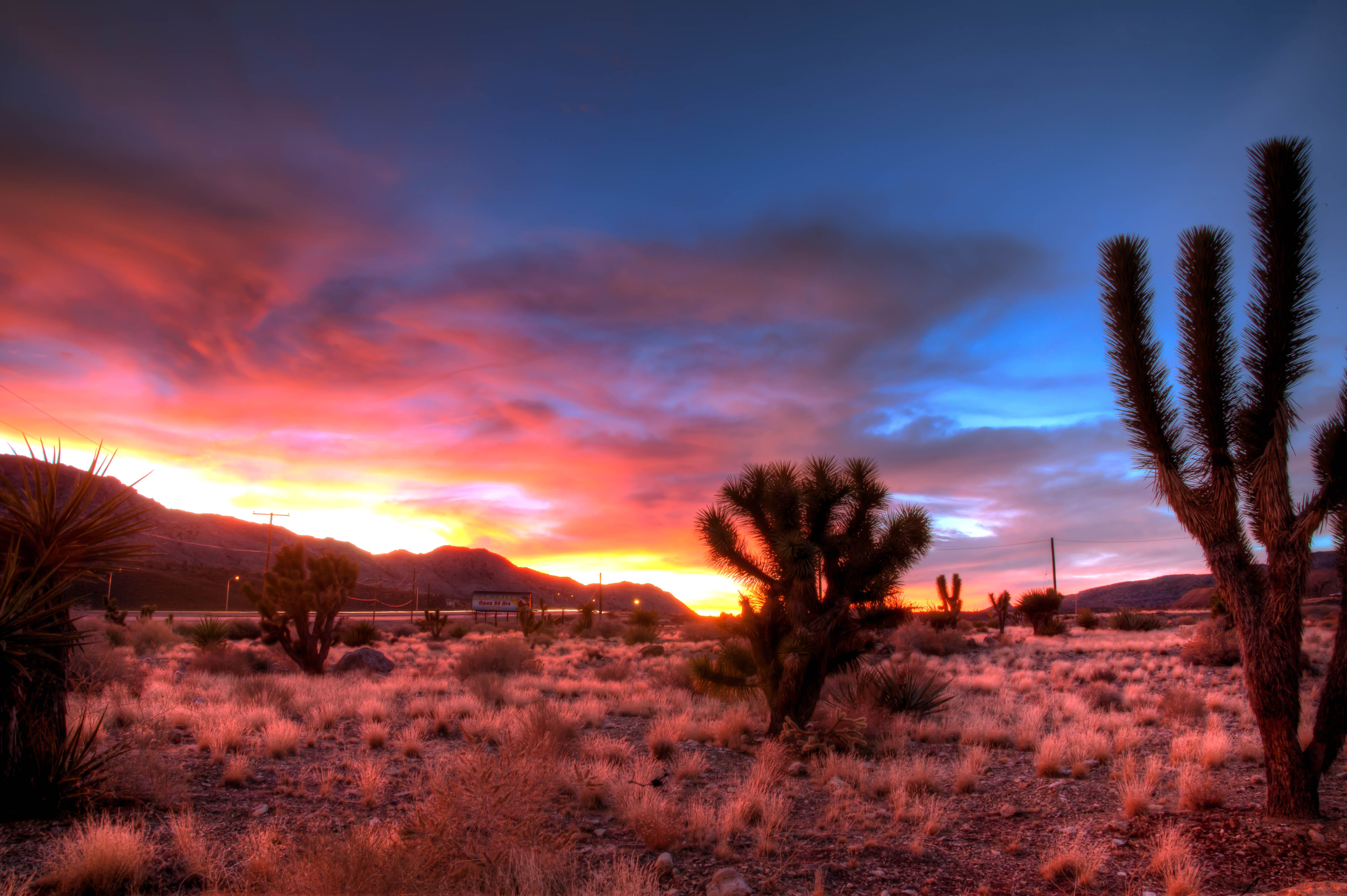
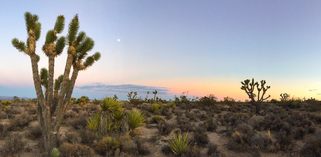
Mojave Sunset

I am a child of the desert
iPhone in the Desert

California Road Trip 2017 with Sam

Nebraska / Colorado / Utah 2017

Nebraska / Colorado / Utah 2017

Nebraska / Colorado / Utah 2017

California Road Trip 2017 with Sam

Nebraska / Colorado / Utah 2017

California Road Trip 2017 with Sam
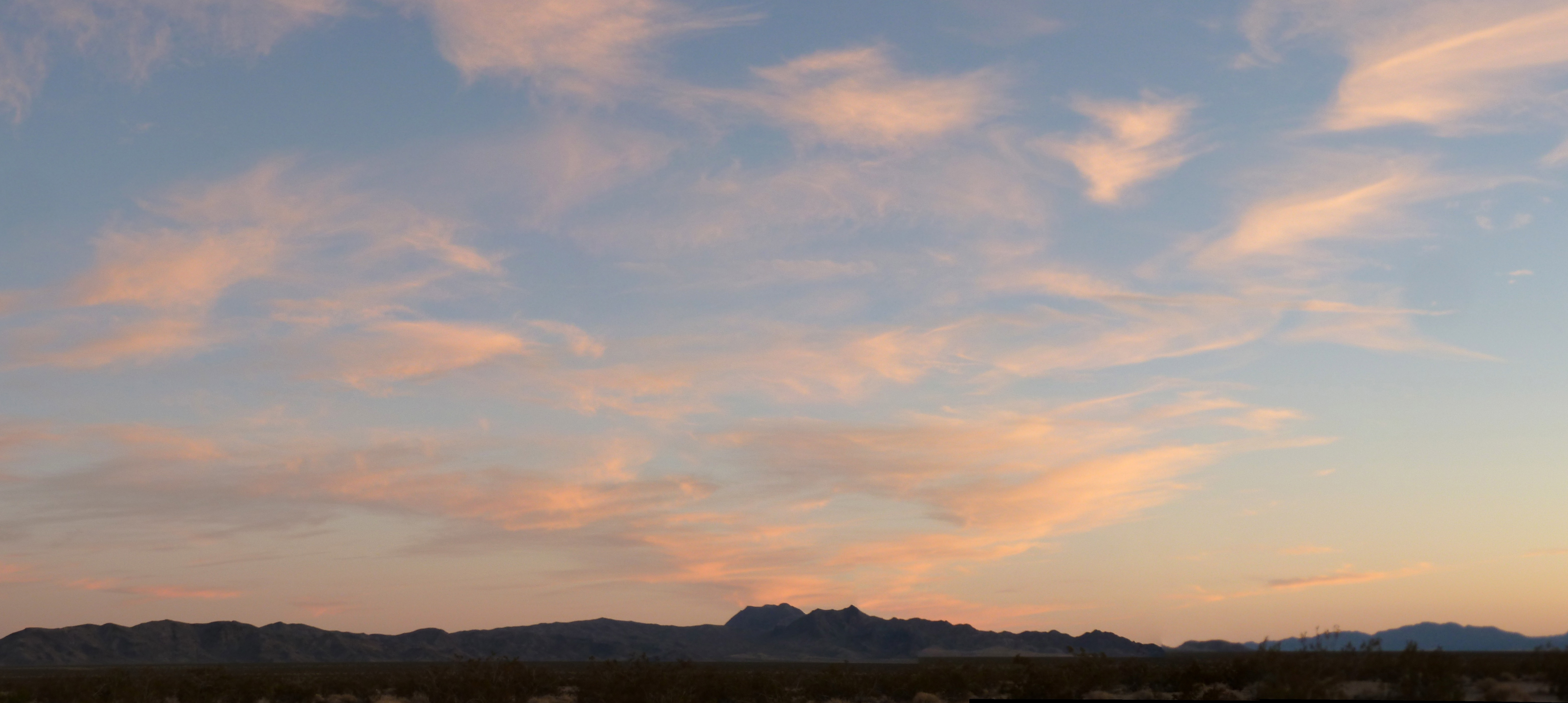
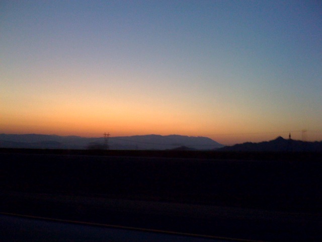
Mojave Sky
アメリカ合衆国 〒 カリフォルニア州 ハロラン・スプリングスの地図
別の場所を検索
近所の場所
Halloran Springs Rd, Barstow, CA アメリカ合衆国
アメリカ合衆国 カリフォルニア州 ベイカー
アメリカ合衆国 〒 カリフォルニア州 モハーベ砂漠
アメリカ合衆国 カリフォルニア州 クラーク山
アメリカ合衆国 〒 カリフォルニア州 メスカル・レンジ HP
アメリカ合衆国 カリフォルニア州 キングストン・ピーク
アメリカ合衆国 〒 カリフォルニア州 マウンテン・パス
アメリカ合衆国 〒 カリフォルニア州 マウンテン・パス
アメリカ合衆国 〒 カリフォルニア州 サイマ
アメリカ合衆国 〒 カリフォルニア州 ウィートン・スプリングス
アメリカ合衆国 カリフォルニア州 レッド・パス湖
Mercury Ave, Sandy Valley, NV アメリカ合衆国
Potomac St, Sandy Valley, NV アメリカ合衆国
Marble Ave, Sandy Valley, NV アメリカ合衆国
アメリカ合衆国 〒 ネバダ州 サンディー・バレー
アメリカ合衆国 〒 ネバダ州 プリム
S Las Vegas Blvd, Primm, NV アメリカ合衆国バッファロー・ビルズ・リゾート & カジノ
アメリカ合衆国 カリフォルニア州 テコパ
Desert Trail Way, Tecopa, CA アメリカ合衆国Desert Bloom Eco Farm
Carpenter Rd, Tecopa, CA アメリカ合衆国
最近の検索
- アメリカ合衆国 アラスカ州 レッド・ドッグ・マイン日の出日の入り時間
- Am bhf, Borken, ドイツアム・バーンホーフ日の出日の入り時間
- 4th St E, Sonoma, CA, USA日の出日の入り時間
- Oakland Ave, Williamsport, PA アメリカ合衆国日の出日の入り時間
- Via Roma, Pieranica CR, イタリアローマ通り日の出日の入り時間
- クロアチア 〒 ドゥブロブニク GradClock Tower of Dubrovnik日の出日の入り時間
- アルゼンチン チュブ州 トレリュー日の出日の入り時間
- Hartfords Bluff Cir, Mt Pleasant, SC アメリカ合衆国日の出日の入り時間
- 日本、熊本県熊本市北区日の出日の入り時間
- 中華人民共和国 福州市 平潭県 平潭島日の出日の入り時間