カナダ 〒P0S オンタリオ グーレー・リバー日の出日の入り時間
Location: カナダ > オンタリオ > アルゴマ > ノース・パート >
時間帯:
America/Toronto
現地時間:
2025-07-12 21:33:38
経度:
-84.381479
緯度:
46.720829
今日の日の出時刻:
05:57:37 AM
今日の日の入時刻:
09:29:11 PM
今日の日長:
15h 31m 34s
明日の日の出時刻:
05:58:34 AM
明日の日の入時刻:
09:28:26 PM
明日の日長:
15h 29m 52s
すべて表示する
| 日付 | 日出 | 日没 | 日長 |
|---|---|---|---|
| 2025年01月01日 | 08:22:04 AM | 05:01:13 PM | 8h 39m 9s |
| 2025年01月02日 | 08:21:59 AM | 05:02:13 PM | 8h 40m 14s |
| 2025年01月03日 | 08:21:52 AM | 05:03:15 PM | 8h 41m 23s |
| 2025年01月04日 | 08:21:42 AM | 05:04:18 PM | 8h 42m 36s |
| 2025年01月05日 | 08:21:30 AM | 05:05:24 PM | 8h 43m 54s |
| 2025年01月06日 | 08:21:14 AM | 05:06:31 PM | 8h 45m 17s |
| 2025年01月07日 | 08:20:56 AM | 05:07:40 PM | 8h 46m 44s |
| 2025年01月08日 | 08:20:35 AM | 05:08:50 PM | 8h 48m 15s |
| 2025年01月09日 | 08:20:11 AM | 05:10:03 PM | 8h 49m 52s |
| 2025年01月10日 | 08:19:45 AM | 05:11:16 PM | 8h 51m 31s |
| 2025年01月11日 | 08:19:16 AM | 05:12:32 PM | 8h 53m 16s |
| 2025年01月12日 | 08:18:45 AM | 05:13:48 PM | 8h 55m 3s |
| 2025年01月13日 | 08:18:11 AM | 05:15:06 PM | 8h 56m 55s |
| 2025年01月14日 | 08:17:34 AM | 05:16:25 PM | 8h 58m 51s |
| 2025年01月15日 | 08:16:55 AM | 05:17:45 PM | 9h 0m 50s |
| 2025年01月16日 | 08:16:13 AM | 05:19:07 PM | 9h 2m 54s |
| 2025年01月17日 | 08:15:29 AM | 05:20:29 PM | 9h 5m 0s |
| 2025年01月18日 | 08:14:42 AM | 05:21:53 PM | 9h 7m 11s |
| 2025年01月19日 | 08:13:53 AM | 05:23:17 PM | 9h 9m 24s |
| 2025年01月20日 | 08:13:02 AM | 05:24:42 PM | 9h 11m 40s |
| 2025年01月21日 | 08:12:08 AM | 05:26:08 PM | 9h 14m 0s |
| 2025年01月22日 | 08:11:12 AM | 05:27:35 PM | 9h 16m 23s |
| 2025年01月23日 | 08:10:13 AM | 05:29:03 PM | 9h 18m 50s |
| 2025年01月24日 | 08:09:13 AM | 05:30:31 PM | 9h 21m 18s |
| 2025年01月25日 | 08:08:10 AM | 05:31:59 PM | 9h 23m 49s |
| 2025年01月26日 | 08:07:06 AM | 05:33:28 PM | 9h 26m 22s |
| 2025年01月27日 | 08:05:59 AM | 05:34:58 PM | 9h 28m 59s |
| 2025年01月28日 | 08:04:50 AM | 05:36:28 PM | 9h 31m 38s |
| 2025年01月29日 | 08:03:39 AM | 05:37:58 PM | 9h 34m 19s |
| 2025年01月30日 | 08:02:27 AM | 05:39:29 PM | 9h 37m 2s |
| 2025年01月31日 | 08:01:12 AM | 05:41:00 PM | 9h 39m 48s |
| 2025年02月01日 | 07:59:55 AM | 05:42:31 PM | 9h 42m 36s |
| 2025年02月02日 | 07:58:37 AM | 05:44:02 PM | 9h 45m 25s |
| 2025年02月03日 | 07:57:17 AM | 05:45:34 PM | 9h 48m 17s |
| 2025年02月04日 | 07:55:55 AM | 05:47:05 PM | 9h 51m 10s |
| 2025年02月05日 | 07:54:32 AM | 05:48:37 PM | 9h 54m 5s |
| 2025年02月06日 | 07:53:07 AM | 05:50:08 PM | 9h 57m 1s |
| 2025年02月07日 | 07:51:40 AM | 05:51:40 PM | 10h 0m 0s |
| 2025年02月08日 | 07:50:12 AM | 05:53:12 PM | 10h 3m 0s |
| 2025年02月09日 | 07:48:42 AM | 05:54:43 PM | 10h 6m 1s |
| 2025年02月10日 | 07:47:11 AM | 05:56:15 PM | 10h 9m 4s |
| 2025年02月11日 | 07:45:38 AM | 05:57:46 PM | 10h 12m 8s |
| 2025年02月12日 | 07:44:04 AM | 05:59:17 PM | 10h 15m 13s |
| 2025年02月13日 | 07:42:29 AM | 06:00:48 PM | 10h 18m 19s |
| 2025年02月14日 | 07:40:53 AM | 06:02:19 PM | 10h 21m 26s |
| 2025年02月15日 | 07:39:15 AM | 06:03:50 PM | 10h 24m 35s |
| 2025年02月16日 | 07:37:36 AM | 06:05:21 PM | 10h 27m 45s |
| 2025年02月17日 | 07:35:55 AM | 06:06:51 PM | 10h 30m 56s |
| 2025年02月18日 | 07:34:14 AM | 06:08:21 PM | 10h 34m 7s |
| 2025年02月19日 | 07:32:32 AM | 06:09:51 PM | 10h 37m 19s |
| 2025年02月20日 | 07:30:48 AM | 06:11:20 PM | 10h 40m 32s |
| 2025年02月21日 | 07:29:04 AM | 06:12:50 PM | 10h 43m 46s |
| 2025年02月22日 | 07:27:18 AM | 06:14:19 PM | 10h 47m 1s |
| 2025年02月23日 | 07:25:32 AM | 06:15:48 PM | 10h 50m 16s |
| 2025年02月24日 | 07:23:44 AM | 06:17:16 PM | 10h 53m 32s |
| 2025年02月25日 | 07:21:56 AM | 06:18:45 PM | 10h 56m 49s |
| 2025年02月26日 | 07:20:07 AM | 06:20:13 PM | 11h 0m 6s |
| 2025年02月27日 | 07:18:18 AM | 06:21:40 PM | 11h 3m 22s |
| 2025年02月28日 | 07:16:27 AM | 06:23:08 PM | 11h 6m 41s |
| 2025年03月01日 | 07:14:36 AM | 06:24:35 PM | 11h 9m 59s |
| 2025年03月02日 | 07:12:44 AM | 06:26:02 PM | 11h 13m 18s |
| 2025年03月03日 | 07:10:51 AM | 06:27:28 PM | 11h 16m 37s |
| 2025年03月04日 | 07:08:58 AM | 06:28:55 PM | 11h 19m 57s |
| 2025年03月05日 | 07:07:04 AM | 06:30:21 PM | 11h 23m 17s |
| 2025年03月06日 | 07:05:10 AM | 06:31:46 PM | 11h 26m 36s |
| 2025年03月07日 | 07:03:15 AM | 06:33:12 PM | 11h 29m 57s |
| 2025年03月08日 | 07:01:20 AM | 06:34:37 PM | 11h 33m 17s |
| 2025年03月09日 | 07:59:29 AM | 07:35:59 PM | 11h 36m 30s |
| 2025年03月10日 | 07:57:33 AM | 07:37:24 PM | 11h 39m 51s |
| 2025年03月11日 | 07:55:36 AM | 07:38:48 PM | 11h 43m 12s |
| 2025年03月12日 | 07:53:39 AM | 07:40:13 PM | 11h 46m 34s |
| 2025年03月13日 | 07:51:42 AM | 07:41:37 PM | 11h 49m 55s |
| 2025年03月14日 | 07:49:45 AM | 07:43:01 PM | 11h 53m 16s |
| 2025年03月15日 | 07:47:47 AM | 07:44:24 PM | 11h 56m 37s |
| 2025年03月16日 | 07:45:49 AM | 07:45:48 PM | 11h 59m 59s |
| 2025年03月17日 | 07:43:51 AM | 07:47:11 PM | 12h 3m 20s |
| 2025年03月18日 | 07:41:53 AM | 07:48:35 PM | 12h 6m 42s |
| 2025年03月19日 | 07:39:54 AM | 07:49:58 PM | 12h 10m 4s |
| 2025年03月20日 | 07:37:56 AM | 07:51:20 PM | 12h 13m 24s |
| 2025年03月21日 | 07:35:57 AM | 07:52:43 PM | 12h 16m 46s |
| 2025年03月22日 | 07:33:58 AM | 07:54:06 PM | 12h 20m 8s |
| 2025年03月23日 | 07:32:00 AM | 07:55:28 PM | 12h 23m 28s |
| 2025年03月24日 | 07:30:01 AM | 07:56:51 PM | 12h 26m 50s |
| 2025年03月25日 | 07:28:03 AM | 07:58:13 PM | 12h 30m 10s |
| 2025年03月26日 | 07:26:04 AM | 07:59:35 PM | 12h 33m 31s |
| 2025年03月27日 | 07:24:06 AM | 08:00:57 PM | 12h 36m 51s |
| 2025年03月28日 | 07:22:08 AM | 08:02:20 PM | 12h 40m 12s |
| 2025年03月29日 | 07:20:10 AM | 08:03:41 PM | 12h 43m 31s |
| 2025年03月30日 | 07:18:12 AM | 08:05:03 PM | 12h 46m 51s |
| 2025年03月31日 | 07:16:15 AM | 08:06:25 PM | 12h 50m 10s |
| 2025年04月01日 | 07:14:17 AM | 08:07:47 PM | 12h 53m 30s |
| 2025年04月02日 | 07:12:20 AM | 08:09:09 PM | 12h 56m 49s |
| 2025年04月03日 | 07:10:24 AM | 08:10:31 PM | 13h 0m 7s |
| 2025年04月04日 | 07:08:28 AM | 08:11:52 PM | 13h 3m 24s |
| 2025年04月05日 | 07:06:32 AM | 08:13:14 PM | 13h 6m 42s |
| 2025年04月06日 | 07:04:36 AM | 08:14:36 PM | 13h 10m 0s |
| 2025年04月07日 | 07:02:42 AM | 08:15:58 PM | 13h 13m 16s |
| 2025年04月08日 | 07:00:47 AM | 08:17:19 PM | 13h 16m 32s |
| 2025年04月09日 | 06:58:53 AM | 08:18:41 PM | 13h 19m 48s |
| 2025年04月10日 | 06:57:00 AM | 08:20:03 PM | 13h 23m 3s |
| 2025年04月11日 | 06:55:07 AM | 08:21:24 PM | 13h 26m 17s |
| 2025年04月12日 | 06:53:15 AM | 08:22:46 PM | 13h 29m 31s |
| 2025年04月13日 | 06:51:24 AM | 08:24:07 PM | 13h 32m 43s |
| 2025年04月14日 | 06:49:33 AM | 08:25:29 PM | 13h 35m 56s |
| 2025年04月15日 | 06:47:43 AM | 08:26:51 PM | 13h 39m 8s |
| 2025年04月16日 | 06:45:54 AM | 08:28:12 PM | 13h 42m 18s |
| 2025年04月17日 | 06:44:06 AM | 08:29:34 PM | 13h 45m 28s |
| 2025年04月18日 | 06:42:18 AM | 08:30:55 PM | 13h 48m 37s |
| 2025年04月19日 | 06:40:31 AM | 08:32:17 PM | 13h 51m 46s |
| 2025年04月20日 | 06:38:46 AM | 08:33:38 PM | 13h 54m 52s |
| 2025年04月21日 | 06:37:01 AM | 08:35:00 PM | 13h 57m 59s |
| 2025年04月22日 | 06:35:17 AM | 08:36:21 PM | 14h 1m 4s |
| 2025年04月23日 | 06:33:34 AM | 08:37:42 PM | 14h 4m 8s |
| 2025年04月24日 | 06:31:52 AM | 08:39:03 PM | 14h 7m 11s |
| 2025年04月25日 | 06:30:12 AM | 08:40:24 PM | 14h 10m 12s |
| 2025年04月26日 | 06:28:32 AM | 08:41:45 PM | 14h 13m 13s |
| 2025年04月27日 | 06:26:54 AM | 08:43:06 PM | 14h 16m 12s |
| 2025年04月28日 | 06:25:16 AM | 08:44:26 PM | 14h 19m 10s |
| 2025年04月29日 | 06:23:40 AM | 08:45:47 PM | 14h 22m 7s |
| 2025年04月30日 | 06:22:06 AM | 08:47:07 PM | 14h 25m 1s |
| 2025年05月01日 | 06:20:32 AM | 08:48:27 PM | 14h 27m 55s |
| 2025年05月02日 | 06:19:00 AM | 08:49:46 PM | 14h 30m 46s |
| 2025年05月03日 | 06:17:30 AM | 08:51:06 PM | 14h 33m 36s |
| 2025年05月04日 | 06:16:01 AM | 08:52:25 PM | 14h 36m 24s |
| 2025年05月05日 | 06:14:33 AM | 08:53:43 PM | 14h 39m 10s |
| 2025年05月06日 | 06:13:07 AM | 08:55:02 PM | 14h 41m 55s |
| 2025年05月07日 | 06:11:42 AM | 08:56:20 PM | 14h 44m 38s |
| 2025年05月08日 | 06:10:19 AM | 08:57:37 PM | 14h 47m 18s |
| 2025年05月09日 | 06:08:57 AM | 08:58:54 PM | 14h 49m 57s |
| 2025年05月10日 | 06:07:38 AM | 09:00:11 PM | 14h 52m 33s |
| 2025年05月11日 | 06:06:20 AM | 09:01:26 PM | 14h 55m 6s |
| 2025年05月12日 | 06:05:03 AM | 09:02:42 PM | 14h 57m 39s |
| 2025年05月13日 | 06:03:49 AM | 09:03:56 PM | 15h 0m 7s |
| 2025年05月14日 | 06:02:36 AM | 09:05:10 PM | 15h 2m 34s |
| 2025年05月15日 | 06:01:25 AM | 09:06:23 PM | 15h 4m 58s |
| 2025年05月16日 | 06:00:16 AM | 09:07:36 PM | 15h 7m 20s |
| 2025年05月17日 | 05:59:09 AM | 09:08:48 PM | 15h 9m 39s |
| 2025年05月18日 | 05:58:04 AM | 09:09:58 PM | 15h 11m 54s |
| 2025年05月19日 | 05:57:01 AM | 09:11:08 PM | 15h 14m 7s |
| 2025年05月20日 | 05:56:00 AM | 09:12:17 PM | 15h 16m 17s |
| 2025年05月21日 | 05:55:01 AM | 09:13:25 PM | 15h 18m 24s |
| 2025年05月22日 | 05:54:04 AM | 09:14:32 PM | 15h 20m 28s |
| 2025年05月23日 | 05:53:10 AM | 09:15:37 PM | 15h 22m 27s |
| 2025年05月24日 | 05:52:17 AM | 09:16:42 PM | 15h 24m 25s |
| 2025年05月25日 | 05:51:27 AM | 09:17:45 PM | 15h 26m 18s |
| 2025年05月26日 | 05:50:39 AM | 09:18:47 PM | 15h 28m 8s |
| 2025年05月27日 | 05:49:53 AM | 09:19:48 PM | 15h 29m 55s |
| 2025年05月28日 | 05:49:09 AM | 09:20:47 PM | 15h 31m 38s |
| 2025年05月29日 | 05:48:28 AM | 09:21:45 PM | 15h 33m 17s |
| 2025年05月30日 | 05:47:49 AM | 09:22:41 PM | 15h 34m 52s |
| 2025年05月31日 | 05:47:13 AM | 09:23:36 PM | 15h 36m 23s |
| 2025年06月01日 | 05:46:39 AM | 09:24:29 PM | 15h 37m 50s |
| 2025年06月02日 | 05:46:07 AM | 09:25:20 PM | 15h 39m 13s |
| 2025年06月03日 | 05:45:38 AM | 09:26:10 PM | 15h 40m 32s |
| 2025年06月04日 | 05:45:11 AM | 09:26:58 PM | 15h 41m 47s |
| 2025年06月05日 | 05:44:47 AM | 09:27:44 PM | 15h 42m 57s |
| 2025年06月06日 | 05:44:25 AM | 09:28:28 PM | 15h 44m 3s |
| 2025年06月07日 | 05:44:05 AM | 09:29:11 PM | 15h 45m 6s |
| 2025年06月08日 | 05:43:48 AM | 09:29:51 PM | 15h 46m 3s |
| 2025年06月09日 | 05:43:34 AM | 09:30:30 PM | 15h 46m 56s |
| 2025年06月10日 | 05:43:22 AM | 09:31:06 PM | 15h 47m 44s |
| 2025年06月11日 | 05:43:13 AM | 09:31:40 PM | 15h 48m 27s |
| 2025年06月12日 | 05:43:06 AM | 09:32:12 PM | 15h 49m 6s |
| 2025年06月13日 | 05:43:01 AM | 09:32:42 PM | 15h 49m 41s |
| 2025年06月14日 | 05:42:59 AM | 09:33:10 PM | 15h 50m 11s |
| 2025年06月15日 | 05:43:00 AM | 09:33:35 PM | 15h 50m 35s |
| 2025年06月16日 | 05:43:02 AM | 09:33:58 PM | 15h 50m 56s |
| 2025年06月17日 | 05:43:08 AM | 09:34:19 PM | 15h 51m 11s |
| 2025年06月18日 | 05:43:16 AM | 09:34:37 PM | 15h 51m 21s |
| 2025年06月19日 | 05:43:26 AM | 09:34:53 PM | 15h 51m 27s |
| 2025年06月20日 | 05:43:38 AM | 09:35:07 PM | 15h 51m 29s |
| 2025年06月21日 | 05:43:53 AM | 09:35:18 PM | 15h 51m 25s |
| 2025年06月22日 | 05:44:11 AM | 09:35:26 PM | 15h 51m 15s |
| 2025年06月23日 | 05:44:30 AM | 09:35:32 PM | 15h 51m 2s |
| 2025年06月24日 | 05:44:52 AM | 09:35:36 PM | 15h 50m 44s |
| 2025年06月25日 | 05:45:16 AM | 09:35:37 PM | 15h 50m 21s |
| 2025年06月26日 | 05:45:43 AM | 09:35:36 PM | 15h 49m 53s |
| 2025年06月27日 | 05:46:11 AM | 09:35:32 PM | 15h 49m 21s |
| 2025年06月28日 | 05:46:42 AM | 09:35:26 PM | 15h 48m 44s |
| 2025年06月29日 | 05:47:14 AM | 09:35:17 PM | 15h 48m 3s |
| 2025年06月30日 | 05:47:49 AM | 09:35:05 PM | 15h 47m 16s |
| 2025年07月01日 | 05:48:26 AM | 09:34:51 PM | 15h 46m 25s |
| 2025年07月02日 | 05:49:05 AM | 09:34:35 PM | 15h 45m 30s |
| 2025年07月03日 | 05:49:45 AM | 09:34:15 PM | 15h 44m 30s |
| 2025年07月04日 | 05:50:28 AM | 09:33:54 PM | 15h 43m 26s |
| 2025年07月05日 | 05:51:12 AM | 09:33:30 PM | 15h 42m 18s |
| 2025年07月06日 | 05:51:58 AM | 09:33:03 PM | 15h 41m 5s |
| 2025年07月07日 | 05:52:46 AM | 09:32:34 PM | 15h 39m 48s |
| 2025年07月08日 | 05:53:35 AM | 09:32:02 PM | 15h 38m 27s |
| 2025年07月09日 | 05:54:26 AM | 09:31:28 PM | 15h 37m 2s |
| 2025年07月10日 | 05:55:19 AM | 09:30:52 PM | 15h 35m 33s |
| 2025年07月11日 | 05:56:13 AM | 09:30:13 PM | 15h 34m 0s |
| 2025年07月12日 | 05:57:08 AM | 09:29:32 PM | 15h 32m 24s |
| 2025年07月13日 | 05:58:05 AM | 09:28:48 PM | 15h 30m 43s |
| 2025年07月14日 | 05:59:03 AM | 09:28:03 PM | 15h 29m 0s |
| 2025年07月15日 | 06:00:03 AM | 09:27:14 PM | 15h 27m 11s |
| 2025年07月16日 | 06:01:04 AM | 09:26:24 PM | 15h 25m 20s |
| 2025年07月17日 | 06:02:05 AM | 09:25:31 PM | 15h 23m 26s |
| 2025年07月18日 | 06:03:08 AM | 09:24:36 PM | 15h 21m 28s |
| 2025年07月19日 | 06:04:12 AM | 09:23:39 PM | 15h 19m 27s |
| 2025年07月20日 | 06:05:17 AM | 09:22:40 PM | 15h 17m 23s |
| 2025年07月21日 | 06:06:23 AM | 09:21:39 PM | 15h 15m 16s |
| 2025年07月22日 | 06:07:30 AM | 09:20:35 PM | 15h 13m 5s |
| 2025年07月23日 | 06:08:38 AM | 09:19:30 PM | 15h 10m 52s |
| 2025年07月24日 | 06:09:47 AM | 09:18:23 PM | 15h 8m 36s |
| 2025年07月25日 | 06:10:56 AM | 09:17:13 PM | 15h 6m 17s |
| 2025年07月26日 | 06:12:06 AM | 09:16:02 PM | 15h 3m 56s |
| 2025年07月27日 | 06:13:17 AM | 09:14:49 PM | 15h 1m 32s |
| 2025年07月28日 | 06:14:28 AM | 09:13:34 PM | 14h 59m 6s |
| 2025年07月29日 | 06:15:40 AM | 09:12:17 PM | 14h 56m 37s |
| 2025年07月30日 | 06:16:53 AM | 09:10:59 PM | 14h 54m 6s |
| 2025年07月31日 | 06:18:06 AM | 09:09:38 PM | 14h 51m 32s |
| 2025年08月01日 | 06:19:20 AM | 09:08:16 PM | 14h 48m 56s |
| 2025年08月02日 | 06:20:34 AM | 09:06:53 PM | 14h 46m 19s |
| 2025年08月03日 | 06:21:48 AM | 09:05:27 PM | 14h 43m 39s |
| 2025年08月04日 | 06:23:03 AM | 09:04:01 PM | 14h 40m 58s |
| 2025年08月05日 | 06:24:18 AM | 09:02:32 PM | 14h 38m 14s |
| 2025年08月06日 | 06:25:33 AM | 09:01:02 PM | 14h 35m 29s |
| 2025年08月07日 | 06:26:49 AM | 08:59:31 PM | 14h 32m 42s |
| 2025年08月08日 | 06:28:05 AM | 08:57:58 PM | 14h 29m 53s |
| 2025年08月09日 | 06:29:21 AM | 08:56:24 PM | 14h 27m 3s |
| 2025年08月10日 | 06:30:37 AM | 08:54:49 PM | 14h 24m 12s |
| 2025年08月11日 | 06:31:53 AM | 08:53:12 PM | 14h 21m 19s |
| 2025年08月12日 | 06:33:10 AM | 08:51:34 PM | 14h 18m 24s |
| 2025年08月13日 | 06:34:27 AM | 08:49:55 PM | 14h 15m 28s |
| 2025年08月14日 | 06:35:44 AM | 08:48:15 PM | 14h 12m 31s |
| 2025年08月15日 | 06:37:01 AM | 08:46:33 PM | 14h 9m 32s |
| 2025年08月16日 | 06:38:18 AM | 08:44:51 PM | 14h 6m 33s |
| 2025年08月17日 | 06:39:35 AM | 08:43:07 PM | 14h 3m 32s |
| 2025年08月18日 | 06:40:52 AM | 08:41:22 PM | 14h 0m 30s |
| 2025年08月19日 | 06:42:09 AM | 08:39:36 PM | 13h 57m 27s |
| 2025年08月20日 | 06:43:26 AM | 08:37:50 PM | 13h 54m 24s |
| 2025年08月21日 | 06:44:44 AM | 08:36:02 PM | 13h 51m 18s |
| 2025年08月22日 | 06:46:01 AM | 08:34:13 PM | 13h 48m 12s |
| 2025年08月23日 | 06:47:18 AM | 08:32:24 PM | 13h 45m 6s |
| 2025年08月24日 | 06:48:35 AM | 08:30:34 PM | 13h 41m 59s |
| 2025年08月25日 | 06:49:52 AM | 08:28:43 PM | 13h 38m 51s |
| 2025年08月26日 | 06:51:10 AM | 08:26:51 PM | 13h 35m 41s |
| 2025年08月27日 | 06:52:27 AM | 08:24:58 PM | 13h 32m 31s |
| 2025年08月28日 | 06:53:44 AM | 08:23:05 PM | 13h 29m 21s |
| 2025年08月29日 | 06:55:01 AM | 08:21:11 PM | 13h 26m 10s |
| 2025年08月30日 | 06:56:18 AM | 08:19:17 PM | 13h 22m 59s |
| 2025年08月31日 | 06:57:35 AM | 08:17:22 PM | 13h 19m 47s |
| 2025年09月01日 | 06:58:52 AM | 08:15:26 PM | 13h 16m 34s |
| 2025年09月02日 | 07:00:09 AM | 08:13:30 PM | 13h 13m 21s |
| 2025年09月03日 | 07:01:26 AM | 08:11:33 PM | 13h 10m 7s |
| 2025年09月04日 | 07:02:43 AM | 08:09:36 PM | 13h 6m 53s |
| 2025年09月05日 | 07:04:00 AM | 08:07:39 PM | 13h 3m 39s |
| 2025年09月06日 | 07:05:17 AM | 08:05:41 PM | 13h 0m 24s |
| 2025年09月07日 | 07:06:34 AM | 08:03:42 PM | 12h 57m 8s |
| 2025年09月08日 | 07:07:51 AM | 08:01:44 PM | 12h 53m 53s |
| 2025年09月09日 | 07:09:08 AM | 07:59:45 PM | 12h 50m 37s |
| 2025年09月10日 | 07:10:26 AM | 07:57:45 PM | 12h 47m 19s |
| 2025年09月11日 | 07:11:43 AM | 07:55:46 PM | 12h 44m 3s |
| 2025年09月12日 | 07:13:00 AM | 07:53:46 PM | 12h 40m 46s |
| 2025年09月13日 | 07:14:17 AM | 07:51:46 PM | 12h 37m 29s |
| 2025年09月14日 | 07:15:34 AM | 07:49:46 PM | 12h 34m 12s |
| 2025年09月15日 | 07:16:52 AM | 07:47:46 PM | 12h 30m 54s |
| 2025年09月16日 | 07:18:09 AM | 07:45:46 PM | 12h 27m 37s |
| 2025年09月17日 | 07:19:26 AM | 07:43:45 PM | 12h 24m 19s |
| 2025年09月18日 | 07:20:44 AM | 07:41:45 PM | 12h 21m 1s |
| 2025年09月19日 | 07:22:02 AM | 07:39:44 PM | 12h 17m 42s |
| 2025年09月20日 | 07:23:20 AM | 07:37:44 PM | 12h 14m 24s |
| 2025年09月21日 | 07:24:38 AM | 07:35:44 PM | 12h 11m 6s |
| 2025年09月22日 | 07:25:56 AM | 07:33:43 PM | 12h 7m 47s |
| 2025年09月23日 | 07:27:14 AM | 07:31:43 PM | 12h 4m 29s |
| 2025年09月24日 | 07:28:32 AM | 07:29:43 PM | 12h 1m 11s |
| 2025年09月25日 | 07:29:51 AM | 07:27:43 PM | 11h 57m 52s |
| 2025年09月26日 | 07:31:10 AM | 07:25:44 PM | 11h 54m 34s |
| 2025年09月27日 | 07:32:29 AM | 07:23:44 PM | 11h 51m 15s |
| 2025年09月28日 | 07:33:48 AM | 07:21:45 PM | 11h 47m 57s |
| 2025年09月29日 | 07:35:07 AM | 07:19:46 PM | 11h 44m 39s |
| 2025年09月30日 | 07:36:27 AM | 07:17:48 PM | 11h 41m 21s |
| 2025年10月01日 | 07:37:47 AM | 07:15:50 PM | 11h 38m 3s |
| 2025年10月02日 | 07:39:07 AM | 07:13:52 PM | 11h 34m 45s |
| 2025年10月03日 | 07:40:27 AM | 07:11:55 PM | 11h 31m 28s |
| 2025年10月04日 | 07:41:48 AM | 07:09:58 PM | 11h 28m 10s |
| 2025年10月05日 | 07:43:09 AM | 07:08:01 PM | 11h 24m 52s |
| 2025年10月06日 | 07:44:30 AM | 07:06:06 PM | 11h 21m 36s |
| 2025年10月07日 | 07:45:51 AM | 07:04:10 PM | 11h 18m 19s |
| 2025年10月08日 | 07:47:13 AM | 07:02:16 PM | 11h 15m 3s |
| 2025年10月09日 | 07:48:35 AM | 07:00:21 PM | 11h 11m 46s |
| 2025年10月10日 | 07:49:57 AM | 06:58:28 PM | 11h 8m 31s |
| 2025年10月11日 | 07:51:20 AM | 06:56:35 PM | 11h 5m 15s |
| 2025年10月12日 | 07:52:43 AM | 06:54:43 PM | 11h 2m 0s |
| 2025年10月13日 | 07:54:06 AM | 06:52:52 PM | 10h 58m 46s |
| 2025年10月14日 | 07:55:29 AM | 06:51:01 PM | 10h 55m 32s |
| 2025年10月15日 | 07:56:53 AM | 06:49:12 PM | 10h 52m 19s |
| 2025年10月16日 | 07:58:17 AM | 06:47:23 PM | 10h 49m 6s |
| 2025年10月17日 | 07:59:42 AM | 06:45:35 PM | 10h 45m 53s |
| 2025年10月18日 | 08:01:06 AM | 06:43:48 PM | 10h 42m 42s |
| 2025年10月19日 | 08:02:31 AM | 06:42:02 PM | 10h 39m 31s |
| 2025年10月20日 | 08:03:57 AM | 06:40:17 PM | 10h 36m 20s |
| 2025年10月21日 | 08:05:22 AM | 06:38:33 PM | 10h 33m 11s |
| 2025年10月22日 | 08:06:48 AM | 06:36:51 PM | 10h 30m 3s |
| 2025年10月23日 | 08:08:14 AM | 06:35:09 PM | 10h 26m 55s |
| 2025年10月24日 | 08:09:40 AM | 06:33:28 PM | 10h 23m 48s |
| 2025年10月25日 | 08:11:07 AM | 06:31:49 PM | 10h 20m 42s |
| 2025年10月26日 | 08:12:34 AM | 06:30:11 PM | 10h 17m 37s |
| 2025年10月27日 | 08:14:01 AM | 06:28:34 PM | 10h 14m 33s |
| 2025年10月28日 | 08:15:28 AM | 06:26:59 PM | 10h 11m 31s |
| 2025年10月29日 | 08:16:55 AM | 06:25:25 PM | 10h 8m 30s |
| 2025年10月30日 | 08:18:23 AM | 06:23:52 PM | 10h 5m 29s |
| 2025年10月31日 | 08:19:51 AM | 06:22:21 PM | 10h 2m 30s |
| 2025年11月01日 | 08:21:18 AM | 06:20:51 PM | 9h 59m 33s |
| 2025年11月02日 | 07:22:50 AM | 05:19:19 PM | 9h 56m 29s |
| 2025年11月03日 | 07:24:18 AM | 05:17:53 PM | 9h 53m 35s |
| 2025年11月04日 | 07:25:46 AM | 05:16:28 PM | 9h 50m 42s |
| 2025年11月05日 | 07:27:14 AM | 05:15:05 PM | 9h 47m 51s |
| 2025年11月06日 | 07:28:41 AM | 05:13:43 PM | 9h 45m 2s |
| 2025年11月07日 | 07:30:09 AM | 05:12:23 PM | 9h 42m 14s |
| 2025年11月08日 | 07:31:37 AM | 05:11:05 PM | 9h 39m 28s |
| 2025年11月09日 | 07:33:04 AM | 05:09:49 PM | 9h 36m 45s |
| 2025年11月10日 | 07:34:32 AM | 05:08:35 PM | 9h 34m 3s |
| 2025年11月11日 | 07:35:59 AM | 05:07:23 PM | 9h 31m 24s |
| 2025年11月12日 | 07:37:26 AM | 05:06:13 PM | 9h 28m 47s |
| 2025年11月13日 | 07:38:52 AM | 05:05:04 PM | 9h 26m 12s |
| 2025年11月14日 | 07:40:18 AM | 05:03:58 PM | 9h 23m 40s |
| 2025年11月15日 | 07:41:44 AM | 05:02:54 PM | 9h 21m 10s |
| 2025年11月16日 | 07:43:09 AM | 05:01:52 PM | 9h 18m 43s |
| 2025年11月17日 | 07:44:34 AM | 05:00:53 PM | 9h 16m 19s |
| 2025年11月18日 | 07:45:58 AM | 04:59:55 PM | 9h 13m 57s |
| 2025年11月19日 | 07:47:21 AM | 04:59:00 PM | 9h 11m 39s |
| 2025年11月20日 | 07:48:44 AM | 04:58:07 PM | 9h 9m 23s |
| 2025年11月21日 | 07:50:06 AM | 04:57:17 PM | 9h 7m 11s |
| 2025年11月22日 | 07:51:27 AM | 04:56:29 PM | 9h 5m 2s |
| 2025年11月23日 | 07:52:47 AM | 04:55:43 PM | 9h 2m 56s |
| 2025年11月24日 | 07:54:06 AM | 04:55:00 PM | 9h 0m 54s |
| 2025年11月25日 | 07:55:25 AM | 04:54:19 PM | 8h 58m 54s |
| 2025年11月26日 | 07:56:42 AM | 04:53:41 PM | 8h 56m 59s |
| 2025年11月27日 | 07:57:58 AM | 04:53:06 PM | 8h 55m 8s |
| 2025年11月28日 | 07:59:12 AM | 04:52:33 PM | 8h 53m 21s |
| 2025年11月29日 | 08:00:26 AM | 04:52:02 PM | 8h 51m 36s |
| 2025年11月30日 | 08:01:38 AM | 04:51:35 PM | 8h 49m 57s |
| 2025年12月01日 | 08:02:49 AM | 04:51:10 PM | 8h 48m 21s |
| 2025年12月02日 | 08:03:58 AM | 04:50:48 PM | 8h 46m 50s |
| 2025年12月03日 | 08:05:06 AM | 04:50:28 PM | 8h 45m 22s |
| 2025年12月04日 | 08:06:12 AM | 04:50:12 PM | 8h 44m 0s |
| 2025年12月05日 | 08:07:16 AM | 04:49:58 PM | 8h 42m 42s |
| 2025年12月06日 | 08:08:18 AM | 04:49:47 PM | 8h 41m 29s |
| 2025年12月07日 | 08:09:19 AM | 04:49:39 PM | 8h 40m 20s |
| 2025年12月08日 | 08:10:18 AM | 04:49:33 PM | 8h 39m 15s |
| 2025年12月09日 | 08:11:15 AM | 04:49:31 PM | 8h 38m 16s |
| 2025年12月10日 | 08:12:10 AM | 04:49:31 PM | 8h 37m 21s |
| 2025年12月11日 | 08:13:02 AM | 04:49:34 PM | 8h 36m 32s |
| 2025年12月12日 | 08:13:53 AM | 04:49:40 PM | 8h 35m 47s |
| 2025年12月13日 | 08:14:41 AM | 04:49:49 PM | 8h 35m 8s |
| 2025年12月14日 | 08:15:27 AM | 04:50:00 PM | 8h 34m 33s |
| 2025年12月15日 | 08:16:11 AM | 04:50:14 PM | 8h 34m 3s |
| 2025年12月16日 | 08:16:53 AM | 04:50:31 PM | 8h 33m 38s |
| 2025年12月17日 | 08:17:32 AM | 04:50:51 PM | 8h 33m 19s |
| 2025年12月18日 | 08:18:08 AM | 04:51:14 PM | 8h 33m 6s |
| 2025年12月19日 | 08:18:42 AM | 04:51:39 PM | 8h 32m 57s |
| 2025年12月20日 | 08:19:14 AM | 04:52:07 PM | 8h 32m 53s |
| 2025年12月21日 | 08:19:43 AM | 04:52:38 PM | 8h 32m 55s |
| 2025年12月22日 | 08:20:09 AM | 04:53:11 PM | 8h 33m 2s |
| 2025年12月23日 | 08:20:33 AM | 04:53:47 PM | 8h 33m 14s |
| 2025年12月24日 | 08:20:54 AM | 04:54:26 PM | 8h 33m 32s |
| 2025年12月25日 | 08:21:13 AM | 04:55:07 PM | 8h 33m 54s |
| 2025年12月26日 | 08:21:28 AM | 04:55:50 PM | 8h 34m 22s |
| 2025年12月27日 | 08:21:41 AM | 04:56:36 PM | 8h 34m 55s |
| 2025年12月28日 | 08:21:51 AM | 04:57:24 PM | 8h 35m 33s |
| 2025年12月29日 | 08:21:59 AM | 04:58:14 PM | 8h 36m 15s |
| 2025年12月30日 | 08:22:03 AM | 04:59:07 PM | 8h 37m 4s |
| 2025年12月31日 | 08:22:05 AM | 05:00:02 PM | 8h 37m 57s |
写真

The Final Light of Day
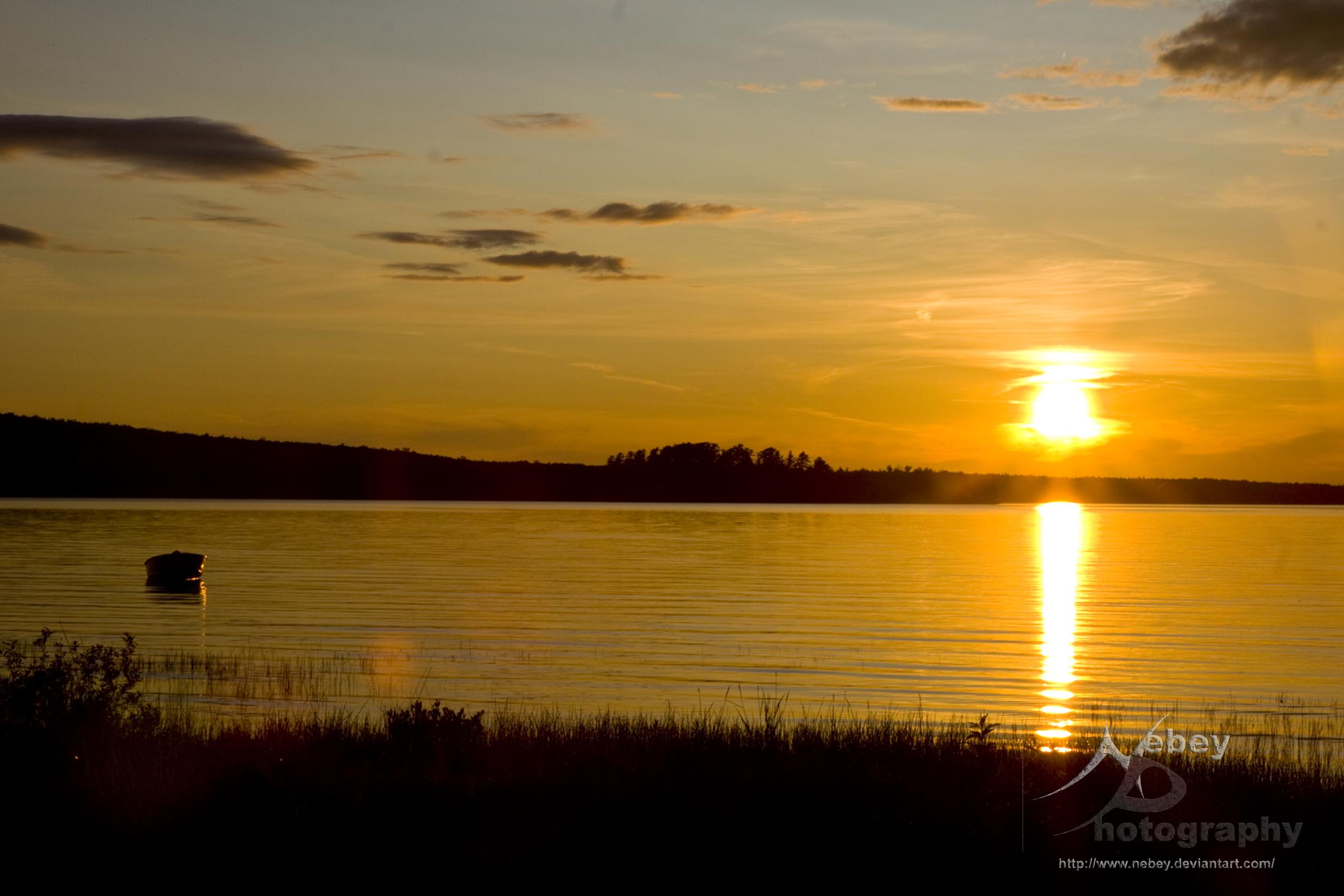
Haviland Sunset 2.jpg

Sunset Reeds

Haviland Bay Rays
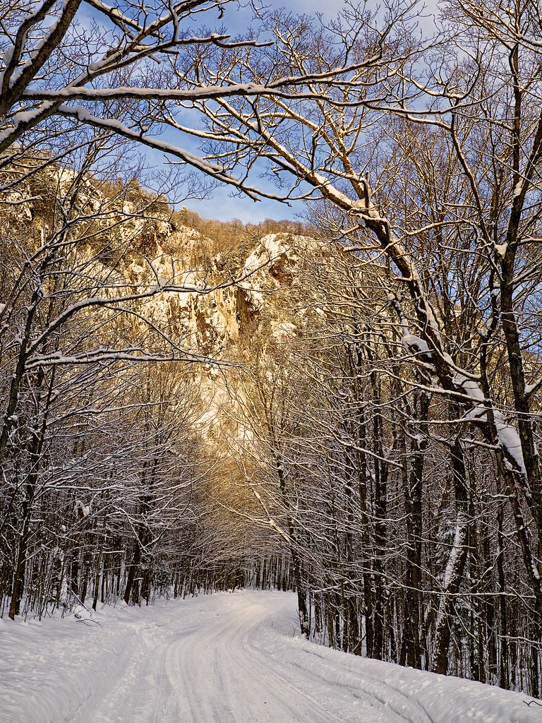
robertson cliffs, vankoughnet township, ontario
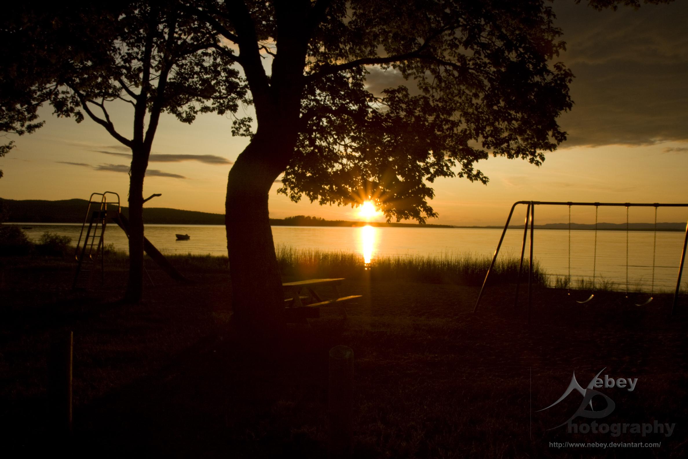
Haviland Sunset.jpg
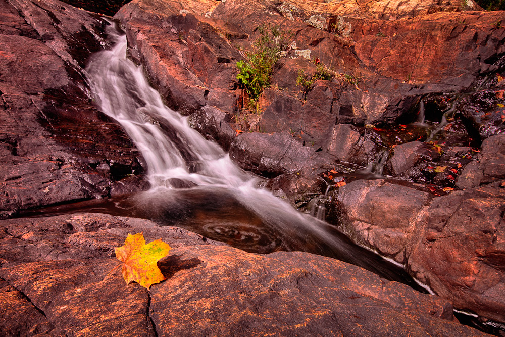
Fall begins...
crimson ridge, sault ste. marie, ontario
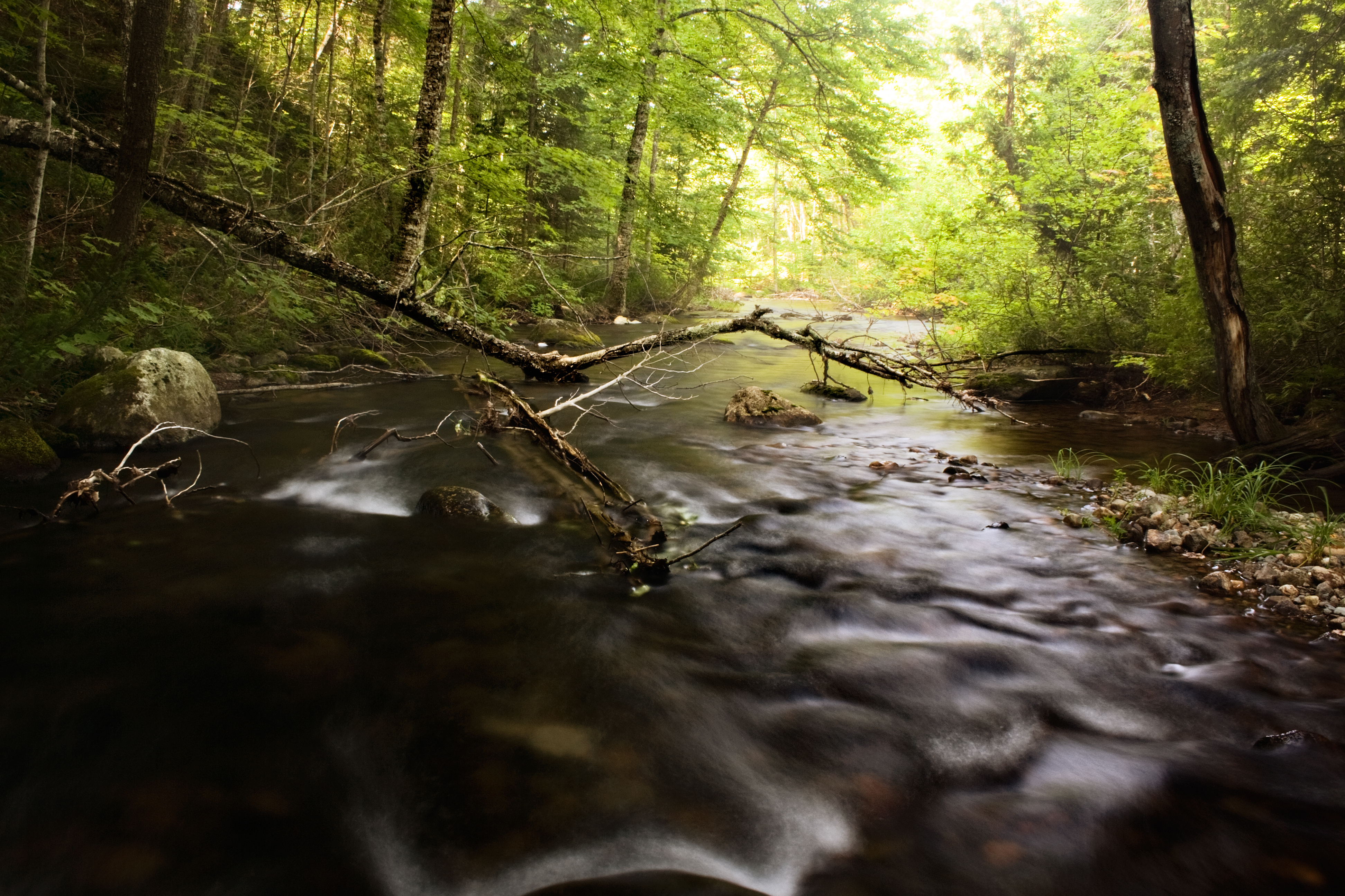
Robertson Creek
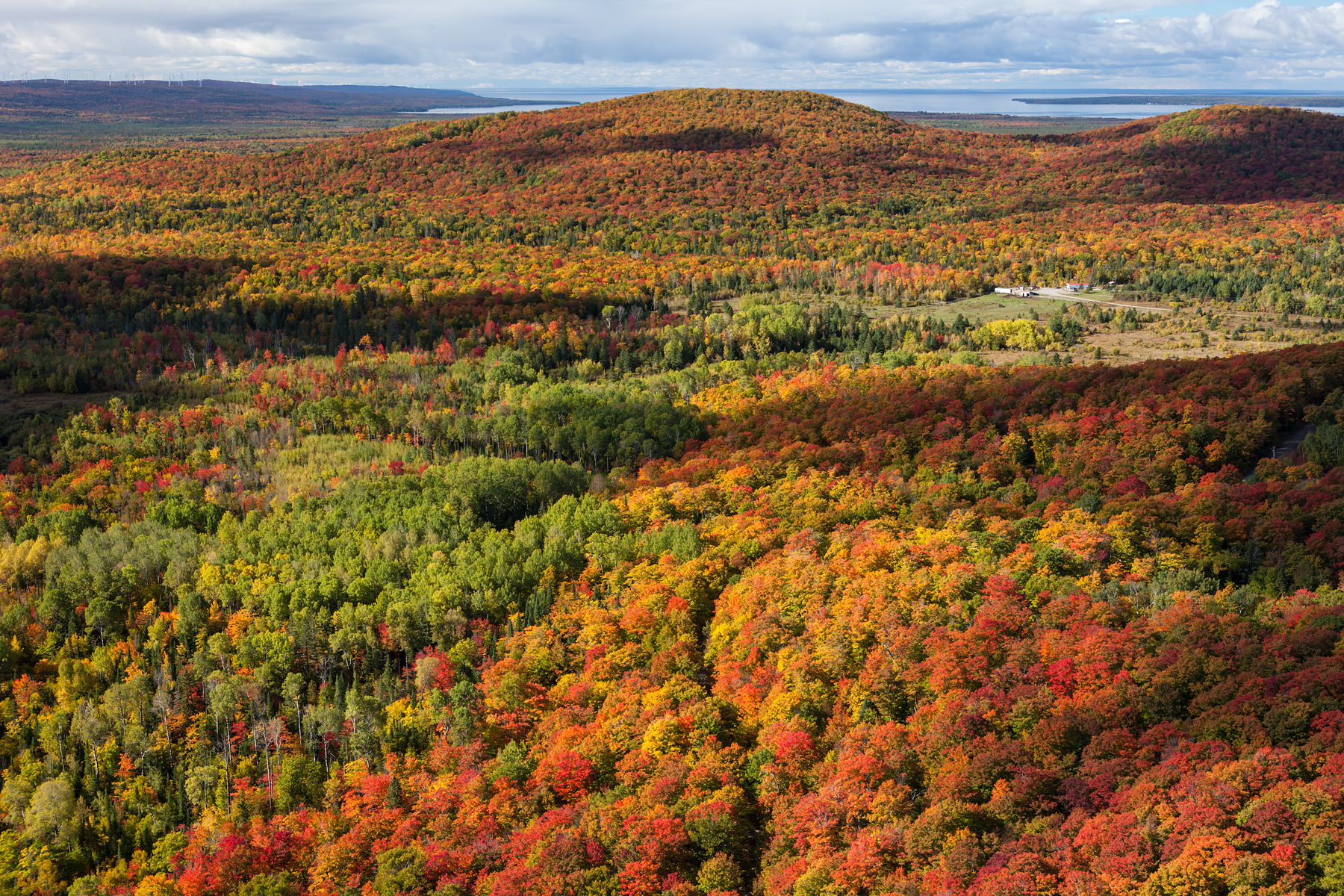
From Robertson Cliffs

Robertson Lake Cliffs

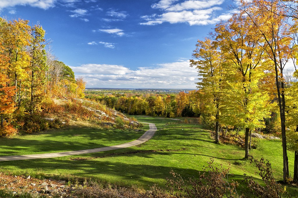
Robertson Cliffs
カナダ 〒P0S オンタリオ グーレー・リバーの地図
別の場所を検索
カナダ 〒P0S オンタリオ グーレー・リバーでの場所
近所の場所
Allens Side Rd, Sault Ste. Marie, ON P6A 5K8 カナダ
Allens Side Rd, Sault Ste. Marie, ON, カナダアレンズ・サイド・ロード
Yates Ave, Sault Ste. Marie, ON P6C 1G1 カナダ
Canada, Second Line W, Sault Ste. Marie, ON P6A 6K4 カナダグロー・キャップ・ブラフス
Corbeil Point Rd, Batchawana Bay, ON P0S 1A0 カナダ
カナダ 〒P0S オンタリオ バチャワーナ・ベイ
アメリカ合衆国 〒 ミシガン州 ミッション
アメリカ合衆国 ミシガン州 ベイ・ミルズ
N Whitefish Point Rd, Paradise, MI アメリカ合衆国
N Whitefish Point Rd, Paradise, MI アメリカ合衆国
アメリカ合衆国 〒 ミシガン州 パラダイス
アメリカ合衆国 ミシガン州 ホワイトフィッシュ・タウンシップ
カナダ オンタリオ アルゴマ
アメリカ合衆国 〒 ミシガン州 ニューベリー
アメリカ合衆国 ミシガン州 マクミラン・タウンシップ
アメリカ合衆国 ミシガン州 ルース
Co Rd, Newberry, MI アメリカ合衆国マスカロンゲ・レイク州立公園
最近の検索
- アメリカ合衆国 アラスカ州 レッド・ドッグ・マイン日の出日の入り時間
- Am bhf, Borken, ドイツアム・バーンホーフ日の出日の入り時間
- 4th St E, Sonoma, CA, USA日の出日の入り時間
- Oakland Ave, Williamsport, PA アメリカ合衆国日の出日の入り時間
- Via Roma, Pieranica CR, イタリアローマ通り日の出日の入り時間
- クロアチア 〒 ドゥブロブニク GradClock Tower of Dubrovnik日の出日の入り時間
- アルゼンチン チュブ州 トレリュー日の出日の入り時間
- Hartfords Bluff Cir, Mt Pleasant, SC アメリカ合衆国日の出日の入り時間
- 日本、熊本県熊本市北区日の出日の入り時間
- 中華人民共和国 福州市 平潭県 平潭島日の出日の入り時間