Gilmore Rd SPC 6, Red Bluff, CA アメリカ合衆国日の出日の入り時間
Location: アメリカ合衆国 > カリフォルニア州 > テハマ > アメリカ合衆国 〒 カリフォルニア州 レッド・ブラフ >
時間帯:
America/Los_Angeles
現地時間:
2025-07-05 22:02:47
経度:
-122.2232913
緯度:
40.1726221
今日の日の出時刻:
05:46:29 AM
今日の日の入時刻:
08:41:09 PM
今日の日長:
14h 54m 40s
明日の日の出時刻:
05:47:07 AM
明日の日の入時刻:
08:40:49 PM
明日の日長:
14h 53m 42s
すべて表示する
| 日付 | 日出 | 日没 | 日長 |
|---|---|---|---|
| 2025年01月01日 | 07:31:17 AM | 04:54:57 PM | 9h 23m 40s |
| 2025年01月02日 | 07:31:20 AM | 04:55:49 PM | 9h 24m 29s |
| 2025年01月03日 | 07:31:20 AM | 04:56:43 PM | 9h 25m 23s |
| 2025年01月04日 | 07:31:19 AM | 04:57:38 PM | 9h 26m 19s |
| 2025年01月05日 | 07:31:15 AM | 04:58:35 PM | 9h 27m 20s |
| 2025年01月06日 | 07:31:08 AM | 04:59:32 PM | 9h 28m 24s |
| 2025年01月07日 | 07:31:00 AM | 05:00:31 PM | 9h 29m 31s |
| 2025年01月08日 | 07:30:49 AM | 05:01:32 PM | 9h 30m 43s |
| 2025年01月09日 | 07:30:36 AM | 05:02:33 PM | 9h 31m 57s |
| 2025年01月10日 | 07:30:21 AM | 05:03:35 PM | 9h 33m 14s |
| 2025年01月11日 | 07:30:04 AM | 05:04:39 PM | 9h 34m 35s |
| 2025年01月12日 | 07:29:44 AM | 05:05:43 PM | 9h 35m 59s |
| 2025年01月13日 | 07:29:23 AM | 05:06:48 PM | 9h 37m 25s |
| 2025年01月14日 | 07:28:59 AM | 05:07:54 PM | 9h 38m 55s |
| 2025年01月15日 | 07:28:33 AM | 05:09:01 PM | 9h 40m 28s |
| 2025年01月16日 | 07:28:05 AM | 05:10:08 PM | 9h 42m 3s |
| 2025年01月17日 | 07:27:35 AM | 05:11:16 PM | 9h 43m 41s |
| 2025年01月18日 | 07:27:02 AM | 05:12:25 PM | 9h 45m 23s |
| 2025年01月19日 | 07:26:28 AM | 05:13:34 PM | 9h 47m 6s |
| 2025年01月20日 | 07:25:52 AM | 05:14:44 PM | 9h 48m 52s |
| 2025年01月21日 | 07:25:13 AM | 05:15:54 PM | 9h 50m 41s |
| 2025年01月22日 | 07:24:33 AM | 05:17:05 PM | 9h 52m 32s |
| 2025年01月23日 | 07:23:51 AM | 05:18:16 PM | 9h 54m 25s |
| 2025年01月24日 | 07:23:07 AM | 05:19:27 PM | 9h 56m 20s |
| 2025年01月25日 | 07:22:20 AM | 05:20:39 PM | 9h 58m 19s |
| 2025年01月26日 | 07:21:33 AM | 05:21:51 PM | 10h 0m 18s |
| 2025年01月27日 | 07:20:43 AM | 05:23:03 PM | 10h 2m 20s |
| 2025年01月28日 | 07:19:51 AM | 05:24:16 PM | 10h 4m 25s |
| 2025年01月29日 | 07:18:58 AM | 05:25:28 PM | 10h 6m 30s |
| 2025年01月30日 | 07:18:03 AM | 05:26:41 PM | 10h 8m 38s |
| 2025年01月31日 | 07:17:06 AM | 05:27:53 PM | 10h 10m 47s |
| 2025年02月01日 | 07:16:08 AM | 05:29:06 PM | 10h 12m 58s |
| 2025年02月02日 | 07:15:07 AM | 05:30:19 PM | 10h 15m 12s |
| 2025年02月03日 | 07:14:06 AM | 05:31:31 PM | 10h 17m 25s |
| 2025年02月04日 | 07:13:03 AM | 05:32:44 PM | 10h 19m 41s |
| 2025年02月05日 | 07:11:58 AM | 05:33:57 PM | 10h 21m 59s |
| 2025年02月06日 | 07:10:52 AM | 05:35:09 PM | 10h 24m 17s |
| 2025年02月07日 | 07:09:44 AM | 05:36:21 PM | 10h 26m 37s |
| 2025年02月08日 | 07:08:35 AM | 05:37:33 PM | 10h 28m 58s |
| 2025年02月09日 | 07:07:24 AM | 05:38:45 PM | 10h 31m 21s |
| 2025年02月10日 | 07:06:12 AM | 05:39:57 PM | 10h 33m 45s |
| 2025年02月11日 | 07:04:59 AM | 05:41:09 PM | 10h 36m 10s |
| 2025年02月12日 | 07:03:45 AM | 05:42:20 PM | 10h 38m 35s |
| 2025年02月13日 | 07:02:29 AM | 05:43:31 PM | 10h 41m 2s |
| 2025年02月14日 | 07:01:12 AM | 05:44:42 PM | 10h 43m 30s |
| 2025年02月15日 | 06:59:54 AM | 05:45:53 PM | 10h 45m 59s |
| 2025年02月16日 | 06:58:35 AM | 05:47:03 PM | 10h 48m 28s |
| 2025年02月17日 | 06:57:15 AM | 05:48:13 PM | 10h 50m 58s |
| 2025年02月18日 | 06:55:53 AM | 05:49:23 PM | 10h 53m 30s |
| 2025年02月19日 | 06:54:31 AM | 05:50:33 PM | 10h 56m 2s |
| 2025年02月20日 | 06:53:07 AM | 05:51:42 PM | 10h 58m 35s |
| 2025年02月21日 | 06:51:43 AM | 05:52:51 PM | 11h 1m 8s |
| 2025年02月22日 | 06:50:18 AM | 05:54:00 PM | 11h 3m 42s |
| 2025年02月23日 | 06:48:52 AM | 05:55:08 PM | 11h 6m 16s |
| 2025年02月24日 | 06:47:24 AM | 05:56:16 PM | 11h 8m 52s |
| 2025年02月25日 | 06:45:57 AM | 05:57:24 PM | 11h 11m 27s |
| 2025年02月26日 | 06:44:28 AM | 05:58:31 PM | 11h 14m 3s |
| 2025年02月27日 | 06:42:59 AM | 05:59:38 PM | 11h 16m 39s |
| 2025年02月28日 | 06:41:28 AM | 06:00:45 PM | 11h 19m 17s |
| 2025年03月01日 | 06:39:58 AM | 06:01:51 PM | 11h 21m 53s |
| 2025年03月02日 | 06:38:26 AM | 06:02:58 PM | 11h 24m 32s |
| 2025年03月03日 | 06:36:54 AM | 06:04:04 PM | 11h 27m 10s |
| 2025年03月04日 | 06:35:21 AM | 06:05:09 PM | 11h 29m 48s |
| 2025年03月05日 | 06:33:48 AM | 06:06:15 PM | 11h 32m 27s |
| 2025年03月06日 | 06:32:14 AM | 06:07:20 PM | 11h 35m 6s |
| 2025年03月07日 | 06:30:40 AM | 06:08:25 PM | 11h 37m 45s |
| 2025年03月08日 | 06:29:05 AM | 06:09:29 PM | 11h 40m 24s |
| 2025年03月09日 | 07:27:34 AM | 07:10:31 PM | 11h 42m 57s |
| 2025年03月10日 | 07:25:58 AM | 07:11:35 PM | 11h 45m 37s |
| 2025年03月11日 | 07:24:22 AM | 07:12:39 PM | 11h 48m 17s |
| 2025年03月12日 | 07:22:46 AM | 07:13:42 PM | 11h 50m 56s |
| 2025年03月13日 | 07:21:09 AM | 07:14:46 PM | 11h 53m 37s |
| 2025年03月14日 | 07:19:33 AM | 07:15:49 PM | 11h 56m 16s |
| 2025年03月15日 | 07:17:55 AM | 07:16:52 PM | 11h 58m 57s |
| 2025年03月16日 | 07:16:18 AM | 07:17:55 PM | 12h 1m 37s |
| 2025年03月17日 | 07:14:41 AM | 07:18:58 PM | 12h 4m 17s |
| 2025年03月18日 | 07:13:03 AM | 07:20:00 PM | 12h 6m 57s |
| 2025年03月19日 | 07:11:25 AM | 07:21:03 PM | 12h 9m 38s |
| 2025年03月20日 | 07:09:47 AM | 07:22:05 PM | 12h 12m 18s |
| 2025年03月21日 | 07:08:09 AM | 07:23:07 PM | 12h 14m 58s |
| 2025年03月22日 | 07:06:31 AM | 07:24:09 PM | 12h 17m 38s |
| 2025年03月23日 | 07:04:53 AM | 07:25:11 PM | 12h 20m 18s |
| 2025年03月24日 | 07:03:15 AM | 07:26:12 PM | 12h 22m 57s |
| 2025年03月25日 | 07:01:38 AM | 07:27:14 PM | 12h 25m 36s |
| 2025年03月26日 | 07:00:00 AM | 07:28:16 PM | 12h 28m 16s |
| 2025年03月27日 | 06:58:22 AM | 07:29:17 PM | 12h 30m 55s |
| 2025年03月28日 | 06:56:45 AM | 07:30:19 PM | 12h 33m 34s |
| 2025年03月29日 | 06:55:07 AM | 07:31:20 PM | 12h 36m 13s |
| 2025年03月30日 | 06:53:30 AM | 07:32:21 PM | 12h 38m 51s |
| 2025年03月31日 | 06:51:53 AM | 07:33:23 PM | 12h 41m 30s |
| 2025年04月01日 | 06:50:17 AM | 07:34:24 PM | 12h 44m 7s |
| 2025年04月02日 | 06:48:40 AM | 07:35:25 PM | 12h 46m 45s |
| 2025年04月03日 | 06:47:04 AM | 07:36:26 PM | 12h 49m 22s |
| 2025年04月04日 | 06:45:29 AM | 07:37:28 PM | 12h 51m 59s |
| 2025年04月05日 | 06:43:54 AM | 07:38:29 PM | 12h 54m 35s |
| 2025年04月06日 | 06:42:19 AM | 07:39:30 PM | 12h 57m 11s |
| 2025年04月07日 | 06:40:44 AM | 07:40:31 PM | 12h 59m 47s |
| 2025年04月08日 | 06:39:11 AM | 07:41:32 PM | 13h 2m 21s |
| 2025年04月09日 | 06:37:37 AM | 07:42:34 PM | 13h 4m 57s |
| 2025年04月10日 | 06:36:04 AM | 07:43:35 PM | 13h 7m 31s |
| 2025年04月11日 | 06:34:32 AM | 07:44:36 PM | 13h 10m 4s |
| 2025年04月12日 | 06:33:01 AM | 07:45:38 PM | 13h 12m 37s |
| 2025年04月13日 | 06:31:30 AM | 07:46:39 PM | 13h 15m 9s |
| 2025年04月14日 | 06:29:59 AM | 07:47:40 PM | 13h 17m 41s |
| 2025年04月15日 | 06:28:30 AM | 07:48:42 PM | 13h 20m 12s |
| 2025年04月16日 | 06:27:01 AM | 07:49:43 PM | 13h 22m 42s |
| 2025年04月17日 | 06:25:33 AM | 07:50:44 PM | 13h 25m 11s |
| 2025年04月18日 | 06:24:06 AM | 07:51:46 PM | 13h 27m 40s |
| 2025年04月19日 | 06:22:39 AM | 07:52:47 PM | 13h 30m 8s |
| 2025年04月20日 | 06:21:14 AM | 07:53:49 PM | 13h 32m 35s |
| 2025年04月21日 | 06:19:49 AM | 07:54:50 PM | 13h 35m 1s |
| 2025年04月22日 | 06:18:25 AM | 07:55:52 PM | 13h 37m 27s |
| 2025年04月23日 | 06:17:02 AM | 07:56:53 PM | 13h 39m 51s |
| 2025年04月24日 | 06:15:40 AM | 07:57:55 PM | 13h 42m 15s |
| 2025年04月25日 | 06:14:19 AM | 07:58:56 PM | 13h 44m 37s |
| 2025年04月26日 | 06:13:00 AM | 07:59:57 PM | 13h 46m 57s |
| 2025年04月27日 | 06:11:41 AM | 08:00:58 PM | 13h 49m 17s |
| 2025年04月28日 | 06:10:23 AM | 08:02:00 PM | 13h 51m 37s |
| 2025年04月29日 | 06:09:07 AM | 08:03:01 PM | 13h 53m 54s |
| 2025年04月30日 | 06:07:52 AM | 08:04:02 PM | 13h 56m 10s |
| 2025年05月01日 | 06:06:38 AM | 08:05:03 PM | 13h 58m 25s |
| 2025年05月02日 | 06:05:25 AM | 08:06:03 PM | 14h 0m 38s |
| 2025年05月03日 | 06:04:13 AM | 08:07:04 PM | 14h 2m 51s |
| 2025年05月04日 | 06:03:03 AM | 08:08:04 PM | 14h 5m 1s |
| 2025年05月05日 | 06:01:54 AM | 08:09:04 PM | 14h 7m 10s |
| 2025年05月06日 | 06:00:46 AM | 08:10:04 PM | 14h 9m 18s |
| 2025年05月07日 | 05:59:40 AM | 08:11:04 PM | 14h 11m 24s |
| 2025年05月08日 | 05:58:36 AM | 08:12:03 PM | 14h 13m 27s |
| 2025年05月09日 | 05:57:32 AM | 08:13:02 PM | 14h 15m 30s |
| 2025年05月10日 | 05:56:30 AM | 08:14:01 PM | 14h 17m 31s |
| 2025年05月11日 | 05:55:30 AM | 08:15:00 PM | 14h 19m 30s |
| 2025年05月12日 | 05:54:31 AM | 08:15:58 PM | 14h 21m 27s |
| 2025年05月13日 | 05:53:34 AM | 08:16:55 PM | 14h 23m 21s |
| 2025年05月14日 | 05:52:38 AM | 08:17:52 PM | 14h 25m 14s |
| 2025年05月15日 | 05:51:44 AM | 08:18:49 PM | 14h 27m 5s |
| 2025年05月16日 | 05:50:52 AM | 08:19:45 PM | 14h 28m 53s |
| 2025年05月17日 | 05:50:01 AM | 08:20:41 PM | 14h 30m 40s |
| 2025年05月18日 | 05:49:12 AM | 08:21:36 PM | 14h 32m 24s |
| 2025年05月19日 | 05:48:25 AM | 08:22:30 PM | 14h 34m 5s |
| 2025年05月20日 | 05:47:40 AM | 08:23:23 PM | 14h 35m 43s |
| 2025年05月21日 | 05:46:56 AM | 08:24:16 PM | 14h 37m 20s |
| 2025年05月22日 | 05:46:14 AM | 08:25:09 PM | 14h 38m 55s |
| 2025年05月23日 | 05:45:34 AM | 08:26:00 PM | 14h 40m 26s |
| 2025年05月24日 | 05:44:55 AM | 08:26:50 PM | 14h 41m 55s |
| 2025年05月25日 | 05:44:19 AM | 08:27:40 PM | 14h 43m 21s |
| 2025年05月26日 | 05:43:44 AM | 08:28:29 PM | 14h 44m 45s |
| 2025年05月27日 | 05:43:11 AM | 08:29:17 PM | 14h 46m 6s |
| 2025年05月28日 | 05:42:40 AM | 08:30:04 PM | 14h 47m 24s |
| 2025年05月29日 | 05:42:11 AM | 08:30:49 PM | 14h 48m 38s |
| 2025年05月30日 | 05:41:44 AM | 08:31:34 PM | 14h 49m 50s |
| 2025年05月31日 | 05:41:19 AM | 08:32:18 PM | 14h 50m 59s |
| 2025年06月01日 | 05:40:56 AM | 08:33:00 PM | 14h 52m 4s |
| 2025年06月02日 | 05:40:35 AM | 08:33:41 PM | 14h 53m 6s |
| 2025年06月03日 | 05:40:15 AM | 08:34:21 PM | 14h 54m 6s |
| 2025年06月04日 | 05:39:58 AM | 08:35:00 PM | 14h 55m 2s |
| 2025年06月05日 | 05:39:43 AM | 08:35:37 PM | 14h 55m 54s |
| 2025年06月06日 | 05:39:29 AM | 08:36:13 PM | 14h 56m 44s |
| 2025年06月07日 | 05:39:18 AM | 08:36:48 PM | 14h 57m 30s |
| 2025年06月08日 | 05:39:08 AM | 08:37:21 PM | 14h 58m 13s |
| 2025年06月09日 | 05:39:01 AM | 08:37:52 PM | 14h 58m 51s |
| 2025年06月10日 | 05:38:55 AM | 08:38:22 PM | 14h 59m 27s |
| 2025年06月11日 | 05:38:51 AM | 08:38:51 PM | 15h 0m 0s |
| 2025年06月12日 | 05:38:50 AM | 08:39:18 PM | 15h 0m 28s |
| 2025年06月13日 | 05:38:50 AM | 08:39:43 PM | 15h 0m 53s |
| 2025年06月14日 | 05:38:52 AM | 08:40:07 PM | 15h 1m 15s |
| 2025年06月15日 | 05:38:56 AM | 08:40:29 PM | 15h 1m 33s |
| 2025年06月16日 | 05:39:02 AM | 08:40:49 PM | 15h 1m 47s |
| 2025年06月17日 | 05:39:09 AM | 08:41:07 PM | 15h 1m 58s |
| 2025年06月18日 | 05:39:19 AM | 08:41:24 PM | 15h 2m 5s |
| 2025年06月19日 | 05:39:30 AM | 08:41:39 PM | 15h 2m 9s |
| 2025年06月20日 | 05:39:43 AM | 08:41:52 PM | 15h 2m 9s |
| 2025年06月21日 | 05:39:58 AM | 08:42:03 PM | 15h 2m 5s |
| 2025年06月22日 | 05:40:15 AM | 08:42:12 PM | 15h 1m 57s |
| 2025年06月23日 | 05:40:33 AM | 08:42:20 PM | 15h 1m 47s |
| 2025年06月24日 | 05:40:53 AM | 08:42:25 PM | 15h 1m 32s |
| 2025年06月25日 | 05:41:15 AM | 08:42:29 PM | 15h 1m 14s |
| 2025年06月26日 | 05:41:38 AM | 08:42:30 PM | 15h 0m 52s |
| 2025年06月27日 | 05:42:03 AM | 08:42:30 PM | 15h 0m 27s |
| 2025年06月28日 | 05:42:29 AM | 08:42:27 PM | 14h 59m 58s |
| 2025年06月29日 | 05:42:57 AM | 08:42:23 PM | 14h 59m 26s |
| 2025年06月30日 | 05:43:27 AM | 08:42:17 PM | 14h 58m 50s |
| 2025年07月01日 | 05:43:58 AM | 08:42:08 PM | 14h 58m 10s |
| 2025年07月02日 | 05:44:30 AM | 08:41:58 PM | 14h 57m 28s |
| 2025年07月03日 | 05:45:04 AM | 08:41:46 PM | 14h 56m 42s |
| 2025年07月04日 | 05:45:39 AM | 08:41:31 PM | 14h 55m 52s |
| 2025年07月05日 | 05:46:15 AM | 08:41:15 PM | 14h 55m 0s |
| 2025年07月06日 | 05:46:53 AM | 08:40:57 PM | 14h 54m 4s |
| 2025年07月07日 | 05:47:32 AM | 08:40:37 PM | 14h 53m 5s |
| 2025年07月08日 | 05:48:11 AM | 08:40:14 PM | 14h 52m 3s |
| 2025年07月09日 | 05:48:53 AM | 08:39:50 PM | 14h 50m 57s |
| 2025年07月10日 | 05:49:35 AM | 08:39:24 PM | 14h 49m 49s |
| 2025年07月11日 | 05:50:18 AM | 08:38:56 PM | 14h 48m 38s |
| 2025年07月12日 | 05:51:02 AM | 08:38:25 PM | 14h 47m 23s |
| 2025年07月13日 | 05:51:47 AM | 08:37:53 PM | 14h 46m 6s |
| 2025年07月14日 | 05:52:33 AM | 08:37:19 PM | 14h 44m 46s |
| 2025年07月15日 | 05:53:20 AM | 08:36:43 PM | 14h 43m 23s |
| 2025年07月16日 | 05:54:08 AM | 08:36:06 PM | 14h 41m 58s |
| 2025年07月17日 | 05:54:57 AM | 08:35:26 PM | 14h 40m 29s |
| 2025年07月18日 | 05:55:46 AM | 08:34:44 PM | 14h 38m 58s |
| 2025年07月19日 | 05:56:36 AM | 08:34:01 PM | 14h 37m 25s |
| 2025年07月20日 | 05:57:27 AM | 08:33:16 PM | 14h 35m 49s |
| 2025年07月21日 | 05:58:18 AM | 08:32:29 PM | 14h 34m 11s |
| 2025年07月22日 | 05:59:10 AM | 08:31:40 PM | 14h 32m 30s |
| 2025年07月23日 | 06:00:03 AM | 08:30:50 PM | 14h 30m 47s |
| 2025年07月24日 | 06:00:56 AM | 08:29:58 PM | 14h 29m 2s |
| 2025年07月25日 | 06:01:49 AM | 08:29:04 PM | 14h 27m 15s |
| 2025年07月26日 | 06:02:43 AM | 08:28:09 PM | 14h 25m 26s |
| 2025年07月27日 | 06:03:38 AM | 08:27:12 PM | 14h 23m 34s |
| 2025年07月28日 | 06:04:32 AM | 08:26:13 PM | 14h 21m 41s |
| 2025年07月29日 | 06:05:28 AM | 08:25:13 PM | 14h 19m 45s |
| 2025年07月30日 | 06:06:23 AM | 08:24:11 PM | 14h 17m 48s |
| 2025年07月31日 | 06:07:19 AM | 08:23:08 PM | 14h 15m 49s |
| 2025年08月01日 | 06:08:15 AM | 08:22:03 PM | 14h 13m 48s |
| 2025年08月02日 | 06:09:11 AM | 08:20:56 PM | 14h 11m 45s |
| 2025年08月03日 | 06:10:08 AM | 08:19:49 PM | 14h 9m 41s |
| 2025年08月04日 | 06:11:05 AM | 08:18:40 PM | 14h 7m 35s |
| 2025年08月05日 | 06:12:02 AM | 08:17:29 PM | 14h 5m 27s |
| 2025年08月06日 | 06:12:59 AM | 08:16:17 PM | 14h 3m 18s |
| 2025年08月07日 | 06:13:56 AM | 08:15:04 PM | 14h 1m 8s |
| 2025年08月08日 | 06:14:53 AM | 08:13:50 PM | 13h 58m 57s |
| 2025年08月09日 | 06:15:51 AM | 08:12:34 PM | 13h 56m 43s |
| 2025年08月10日 | 06:16:48 AM | 08:11:17 PM | 13h 54m 29s |
| 2025年08月11日 | 06:17:46 AM | 08:09:59 PM | 13h 52m 13s |
| 2025年08月12日 | 06:18:43 AM | 08:08:40 PM | 13h 49m 57s |
| 2025年08月13日 | 06:19:41 AM | 08:07:20 PM | 13h 47m 39s |
| 2025年08月14日 | 06:20:38 AM | 08:05:58 PM | 13h 45m 20s |
| 2025年08月15日 | 06:21:36 AM | 08:04:36 PM | 13h 43m 0s |
| 2025年08月16日 | 06:22:34 AM | 08:03:13 PM | 13h 40m 39s |
| 2025年08月17日 | 06:23:31 AM | 08:01:48 PM | 13h 38m 17s |
| 2025年08月18日 | 06:24:29 AM | 08:00:23 PM | 13h 35m 54s |
| 2025年08月19日 | 06:25:27 AM | 07:58:56 PM | 13h 33m 29s |
| 2025年08月20日 | 06:26:24 AM | 07:57:29 PM | 13h 31m 5s |
| 2025年08月21日 | 06:27:22 AM | 07:56:01 PM | 13h 28m 39s |
| 2025年08月22日 | 06:28:19 AM | 07:54:32 PM | 13h 26m 13s |
| 2025年08月23日 | 06:29:16 AM | 07:53:02 PM | 13h 23m 46s |
| 2025年08月24日 | 06:30:14 AM | 07:51:32 PM | 13h 21m 18s |
| 2025年08月25日 | 06:31:11 AM | 07:50:00 PM | 13h 18m 49s |
| 2025年08月26日 | 06:32:08 AM | 07:48:28 PM | 13h 16m 20s |
| 2025年08月27日 | 06:33:05 AM | 07:46:56 PM | 13h 13m 51s |
| 2025年08月28日 | 06:34:03 AM | 07:45:22 PM | 13h 11m 19s |
| 2025年08月29日 | 06:35:00 AM | 07:43:48 PM | 13h 8m 48s |
| 2025年08月30日 | 06:35:57 AM | 07:42:14 PM | 13h 6m 17s |
| 2025年08月31日 | 06:36:54 AM | 07:40:39 PM | 13h 3m 45s |
| 2025年09月01日 | 06:37:51 AM | 07:39:03 PM | 13h 1m 12s |
| 2025年09月02日 | 06:38:47 AM | 07:37:27 PM | 12h 58m 40s |
| 2025年09月03日 | 06:39:44 AM | 07:35:50 PM | 12h 56m 6s |
| 2025年09月04日 | 06:40:41 AM | 07:34:13 PM | 12h 53m 32s |
| 2025年09月05日 | 06:41:38 AM | 07:32:36 PM | 12h 50m 58s |
| 2025年09月06日 | 06:42:35 AM | 07:30:58 PM | 12h 48m 23s |
| 2025年09月07日 | 06:43:32 AM | 07:29:20 PM | 12h 45m 48s |
| 2025年09月08日 | 06:44:28 AM | 07:27:41 PM | 12h 43m 13s |
| 2025年09月09日 | 06:45:25 AM | 07:26:02 PM | 12h 40m 37s |
| 2025年09月10日 | 06:46:22 AM | 07:24:23 PM | 12h 38m 1s |
| 2025年09月11日 | 06:47:19 AM | 07:22:44 PM | 12h 35m 25s |
| 2025年09月12日 | 06:48:16 AM | 07:21:05 PM | 12h 32m 49s |
| 2025年09月13日 | 06:49:13 AM | 07:19:25 PM | 12h 30m 12s |
| 2025年09月14日 | 06:50:10 AM | 07:17:45 PM | 12h 27m 35s |
| 2025年09月15日 | 06:51:07 AM | 07:16:05 PM | 12h 24m 58s |
| 2025年09月16日 | 06:52:04 AM | 07:14:25 PM | 12h 22m 21s |
| 2025年09月17日 | 06:53:01 AM | 07:12:45 PM | 12h 19m 44s |
| 2025年09月18日 | 06:53:58 AM | 07:11:05 PM | 12h 17m 7s |
| 2025年09月19日 | 06:54:56 AM | 07:09:25 PM | 12h 14m 29s |
| 2025年09月20日 | 06:55:53 AM | 07:07:45 PM | 12h 11m 52s |
| 2025年09月21日 | 06:56:51 AM | 07:06:05 PM | 12h 9m 14s |
| 2025年09月22日 | 06:57:49 AM | 07:04:25 PM | 12h 6m 36s |
| 2025年09月23日 | 06:58:47 AM | 07:02:45 PM | 12h 3m 58s |
| 2025年09月24日 | 06:59:45 AM | 07:01:05 PM | 12h 1m 20s |
| 2025年09月25日 | 07:00:43 AM | 06:59:26 PM | 11h 58m 43s |
| 2025年09月26日 | 07:01:41 AM | 06:57:47 PM | 11h 56m 6s |
| 2025年09月27日 | 07:02:40 AM | 06:56:08 PM | 11h 53m 28s |
| 2025年09月28日 | 07:03:39 AM | 06:54:29 PM | 11h 50m 50s |
| 2025年09月29日 | 07:04:38 AM | 06:52:51 PM | 11h 48m 13s |
| 2025年09月30日 | 07:05:37 AM | 06:51:13 PM | 11h 45m 36s |
| 2025年10月01日 | 07:06:37 AM | 06:49:35 PM | 11h 42m 58s |
| 2025年10月02日 | 07:07:37 AM | 06:47:58 PM | 11h 40m 21s |
| 2025年10月03日 | 07:08:37 AM | 06:46:21 PM | 11h 37m 44s |
| 2025年10月04日 | 07:09:37 AM | 06:44:44 PM | 11h 35m 7s |
| 2025年10月05日 | 07:10:38 AM | 06:43:08 PM | 11h 32m 30s |
| 2025年10月06日 | 07:11:39 AM | 06:41:33 PM | 11h 29m 54s |
| 2025年10月07日 | 07:12:40 AM | 06:39:58 PM | 11h 27m 18s |
| 2025年10月08日 | 07:13:41 AM | 06:38:24 PM | 11h 24m 43s |
| 2025年10月09日 | 07:14:43 AM | 06:36:50 PM | 11h 22m 7s |
| 2025年10月10日 | 07:15:45 AM | 06:35:17 PM | 11h 19m 32s |
| 2025年10月11日 | 07:16:48 AM | 06:33:45 PM | 11h 16m 57s |
| 2025年10月12日 | 07:17:50 AM | 06:32:13 PM | 11h 14m 23s |
| 2025年10月13日 | 07:18:53 AM | 06:30:42 PM | 11h 11m 49s |
| 2025年10月14日 | 07:19:57 AM | 06:29:12 PM | 11h 9m 15s |
| 2025年10月15日 | 07:21:00 AM | 06:27:43 PM | 11h 6m 43s |
| 2025年10月16日 | 07:22:04 AM | 06:26:14 PM | 11h 4m 10s |
| 2025年10月17日 | 07:23:09 AM | 06:24:47 PM | 11h 1m 38s |
| 2025年10月18日 | 07:24:13 AM | 06:23:20 PM | 10h 59m 7s |
| 2025年10月19日 | 07:25:18 AM | 06:21:55 PM | 10h 56m 37s |
| 2025年10月20日 | 07:26:24 AM | 06:20:30 PM | 10h 54m 6s |
| 2025年10月21日 | 07:27:29 AM | 06:19:06 PM | 10h 51m 37s |
| 2025年10月22日 | 07:28:35 AM | 06:17:43 PM | 10h 49m 8s |
| 2025年10月23日 | 07:29:42 AM | 06:16:22 PM | 10h 46m 40s |
| 2025年10月24日 | 07:30:48 AM | 06:15:01 PM | 10h 44m 13s |
| 2025年10月25日 | 07:31:55 AM | 06:13:42 PM | 10h 41m 47s |
| 2025年10月26日 | 07:33:02 AM | 06:12:24 PM | 10h 39m 22s |
| 2025年10月27日 | 07:34:10 AM | 06:11:07 PM | 10h 36m 57s |
| 2025年10月28日 | 07:35:18 AM | 06:09:52 PM | 10h 34m 34s |
| 2025年10月29日 | 07:36:26 AM | 06:08:37 PM | 10h 32m 11s |
| 2025年10月30日 | 07:37:34 AM | 06:07:24 PM | 10h 29m 50s |
| 2025年10月31日 | 07:38:42 AM | 06:06:13 PM | 10h 27m 31s |
| 2025年11月01日 | 07:39:51 AM | 06:05:02 PM | 10h 25m 11s |
| 2025年11月02日 | 06:41:03 AM | 05:03:51 PM | 10h 22m 48s |
| 2025年11月03日 | 06:42:12 AM | 05:02:44 PM | 10h 20m 32s |
| 2025年11月04日 | 06:43:21 AM | 05:01:38 PM | 10h 18m 17s |
| 2025年11月05日 | 06:44:30 AM | 05:00:34 PM | 10h 16m 4s |
| 2025年11月06日 | 06:45:39 AM | 04:59:31 PM | 10h 13m 52s |
| 2025年11月07日 | 06:46:49 AM | 04:58:30 PM | 10h 11m 41s |
| 2025年11月08日 | 06:47:58 AM | 04:57:31 PM | 10h 9m 33s |
| 2025年11月09日 | 06:49:08 AM | 04:56:33 PM | 10h 7m 25s |
| 2025年11月10日 | 06:50:17 AM | 04:55:37 PM | 10h 5m 20s |
| 2025年11月11日 | 06:51:26 AM | 04:54:43 PM | 10h 3m 17s |
| 2025年11月12日 | 06:52:36 AM | 04:53:51 PM | 10h 1m 15s |
| 2025年11月13日 | 06:53:45 AM | 04:53:00 PM | 9h 59m 15s |
| 2025年11月14日 | 06:54:54 AM | 04:52:11 PM | 9h 57m 17s |
| 2025年11月15日 | 06:56:03 AM | 04:51:25 PM | 9h 55m 22s |
| 2025年11月16日 | 06:57:11 AM | 04:50:40 PM | 9h 53m 29s |
| 2025年11月17日 | 06:58:20 AM | 04:49:57 PM | 9h 51m 37s |
| 2025年11月18日 | 06:59:28 AM | 04:49:16 PM | 9h 49m 48s |
| 2025年11月19日 | 07:00:35 AM | 04:48:37 PM | 9h 48m 2s |
| 2025年11月20日 | 07:01:42 AM | 04:48:00 PM | 9h 46m 18s |
| 2025年11月21日 | 07:02:49 AM | 04:47:25 PM | 9h 44m 36s |
| 2025年11月22日 | 07:03:55 AM | 04:46:52 PM | 9h 42m 57s |
| 2025年11月23日 | 07:05:01 AM | 04:46:21 PM | 9h 41m 20s |
| 2025年11月24日 | 07:06:06 AM | 04:45:53 PM | 9h 39m 47s |
| 2025年11月25日 | 07:07:10 AM | 04:45:26 PM | 9h 38m 16s |
| 2025年11月26日 | 07:08:14 AM | 04:45:02 PM | 9h 36m 48s |
| 2025年11月27日 | 07:09:17 AM | 04:44:40 PM | 9h 35m 23s |
| 2025年11月28日 | 07:10:19 AM | 04:44:20 PM | 9h 34m 1s |
| 2025年11月29日 | 07:11:20 AM | 04:44:02 PM | 9h 32m 42s |
| 2025年11月30日 | 07:12:21 AM | 04:43:47 PM | 9h 31m 26s |
| 2025年12月01日 | 07:13:20 AM | 04:43:34 PM | 9h 30m 14s |
| 2025年12月02日 | 07:14:18 AM | 04:43:23 PM | 9h 29m 5s |
| 2025年12月03日 | 07:15:15 AM | 04:43:14 PM | 9h 27m 59s |
| 2025年12月04日 | 07:16:11 AM | 04:43:08 PM | 9h 26m 57s |
| 2025年12月05日 | 07:17:06 AM | 04:43:04 PM | 9h 25m 58s |
| 2025年12月06日 | 07:18:00 AM | 04:43:02 PM | 9h 25m 2s |
| 2025年12月07日 | 07:18:52 AM | 04:43:02 PM | 9h 24m 10s |
| 2025年12月08日 | 07:19:43 AM | 04:43:05 PM | 9h 23m 22s |
| 2025年12月09日 | 07:20:32 AM | 04:43:10 PM | 9h 22m 38s |
| 2025年12月10日 | 07:21:20 AM | 04:43:17 PM | 9h 21m 57s |
| 2025年12月11日 | 07:22:07 AM | 04:43:27 PM | 9h 21m 20s |
| 2025年12月12日 | 07:22:52 AM | 04:43:38 PM | 9h 20m 46s |
| 2025年12月13日 | 07:23:35 AM | 04:43:52 PM | 9h 20m 17s |
| 2025年12月14日 | 07:24:17 AM | 04:44:08 PM | 9h 19m 51s |
| 2025年12月15日 | 07:24:56 AM | 04:44:27 PM | 9h 19m 31s |
| 2025年12月16日 | 07:25:35 AM | 04:44:47 PM | 9h 19m 12s |
| 2025年12月17日 | 07:26:11 AM | 04:45:10 PM | 9h 18m 59s |
| 2025年12月18日 | 07:26:45 AM | 04:45:35 PM | 9h 18m 50s |
| 2025年12月19日 | 07:27:18 AM | 04:46:01 PM | 9h 18m 43s |
| 2025年12月20日 | 07:27:49 AM | 04:46:30 PM | 9h 18m 41s |
| 2025年12月21日 | 07:28:17 AM | 04:47:01 PM | 9h 18m 44s |
| 2025年12月22日 | 07:28:44 AM | 04:47:34 PM | 9h 18m 50s |
| 2025年12月23日 | 07:29:09 AM | 04:48:09 PM | 9h 19m 0s |
| 2025年12月24日 | 07:29:32 AM | 04:48:46 PM | 9h 19m 14s |
| 2025年12月25日 | 07:29:52 AM | 04:49:25 PM | 9h 19m 33s |
| 2025年12月26日 | 07:30:11 AM | 04:50:05 PM | 9h 19m 54s |
| 2025年12月27日 | 07:30:27 AM | 04:50:47 PM | 9h 20m 20s |
| 2025年12月28日 | 07:30:41 AM | 04:51:31 PM | 9h 20m 50s |
| 2025年12月29日 | 07:30:53 AM | 04:52:17 PM | 9h 21m 24s |
| 2025年12月30日 | 07:31:03 AM | 04:53:05 PM | 9h 22m 2s |
| 2025年12月31日 | 07:31:11 AM | 04:53:54 PM | 9h 22m 43s |
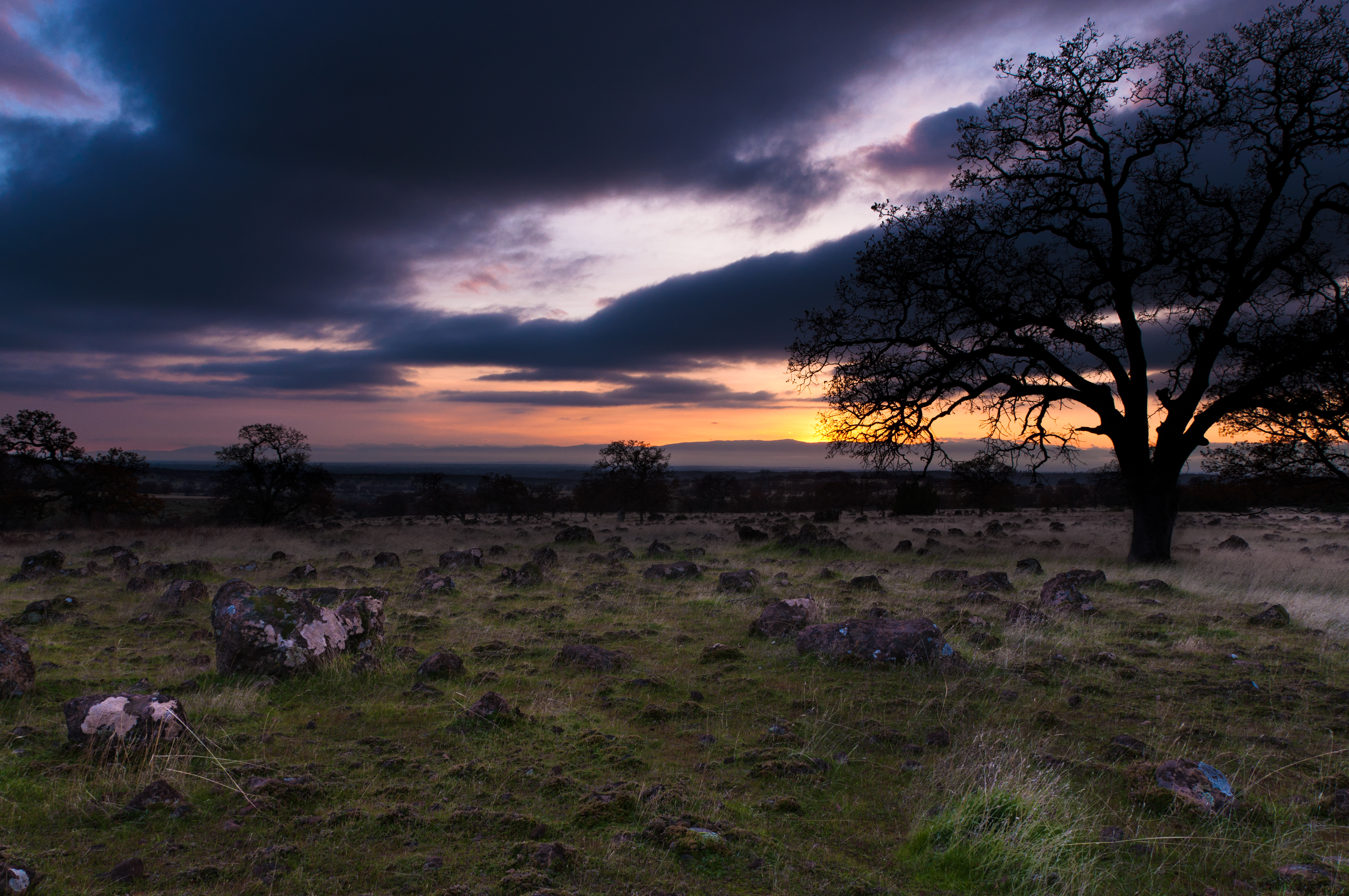
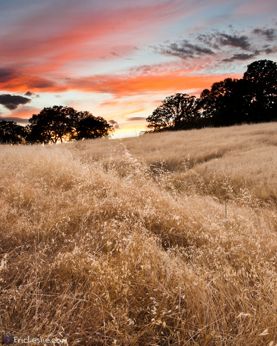
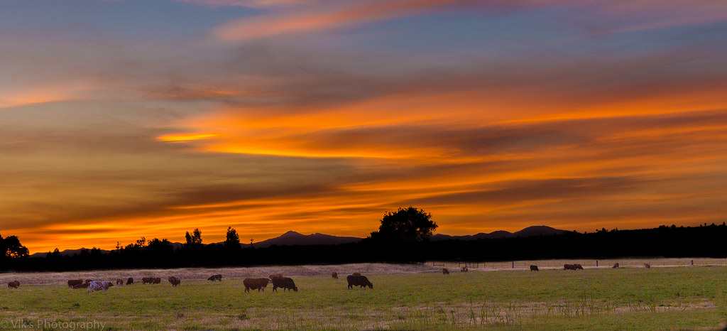
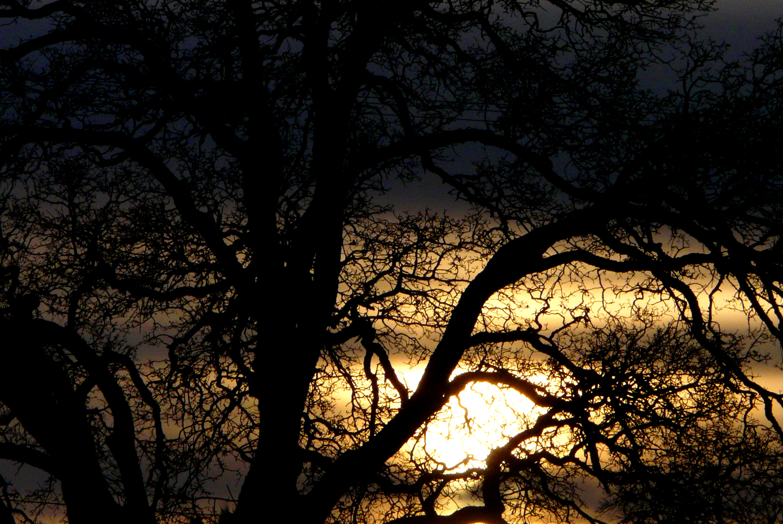
写真

Lost Memory
Date Night

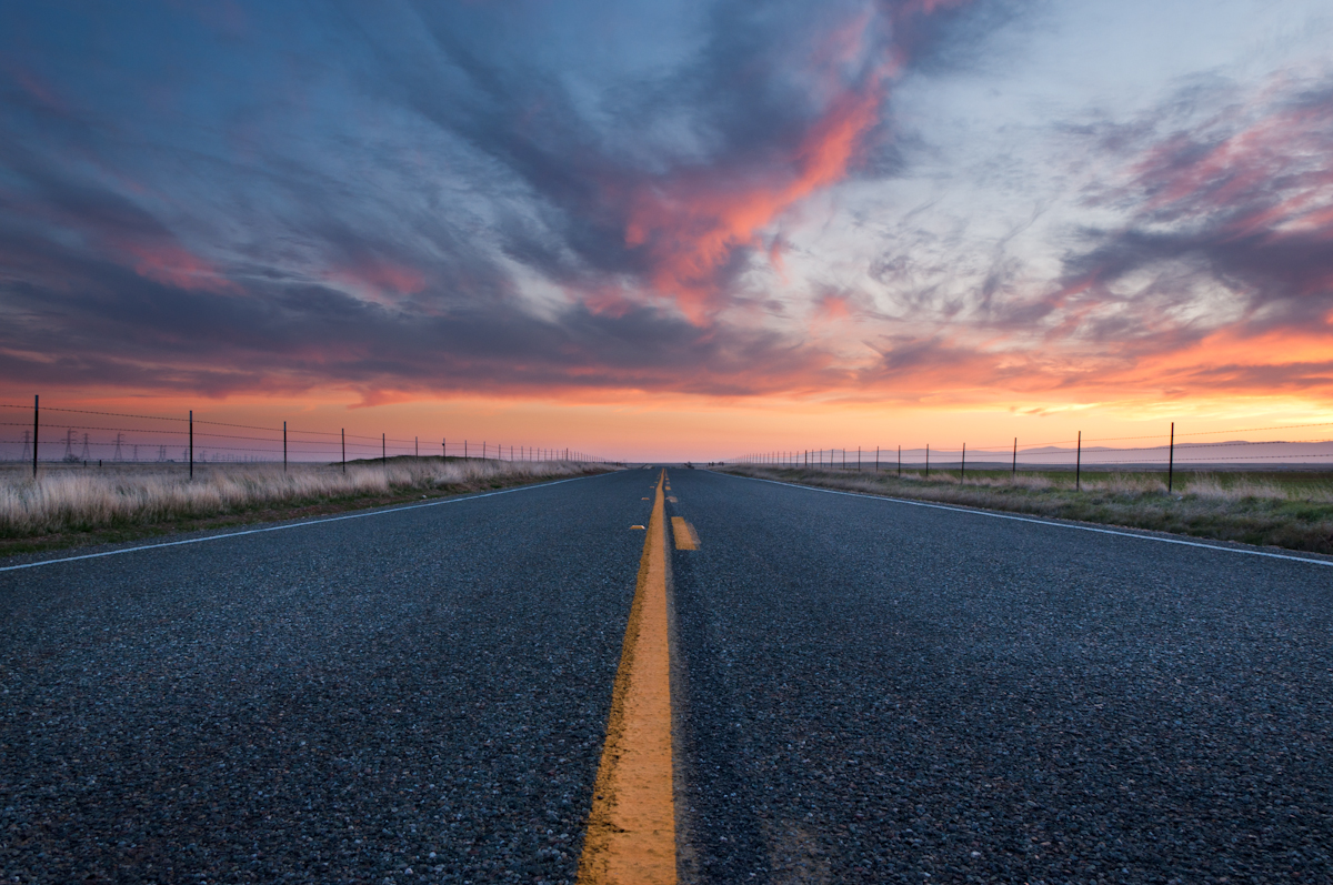
Interstate 5 Northbound Tehama Valley Freeway approaching Exit 659 - Sunset Hills Road 1 mile with this roadside sign located at Tehama County - South Cottonwood, California.
Right now

Sacramento River (His Glory)
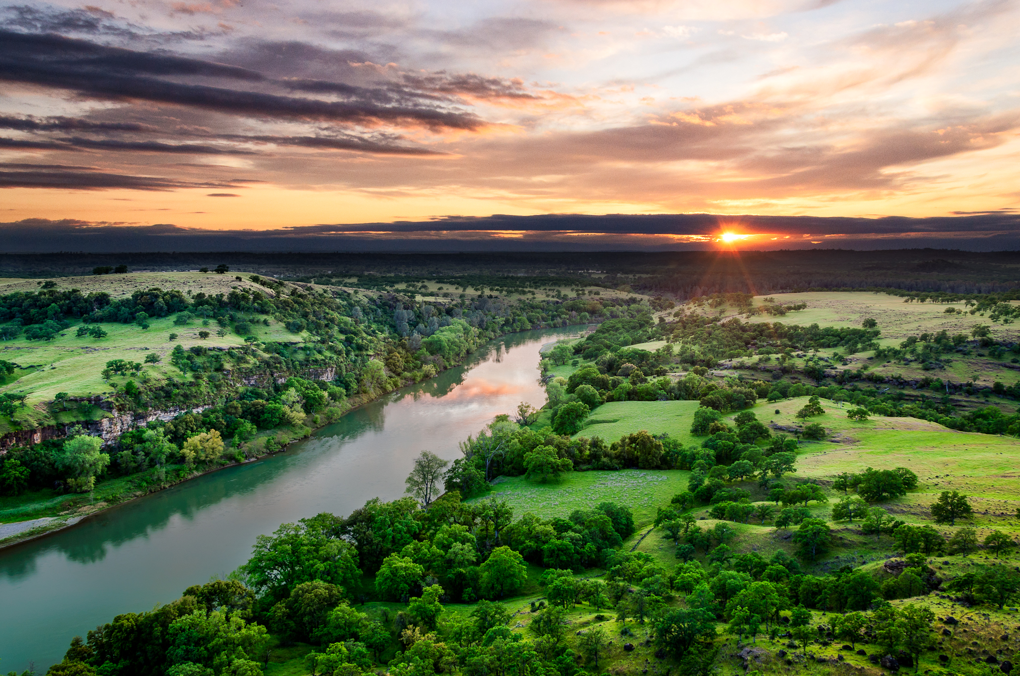
Sacramento River (His Glory)
The Minds Eye

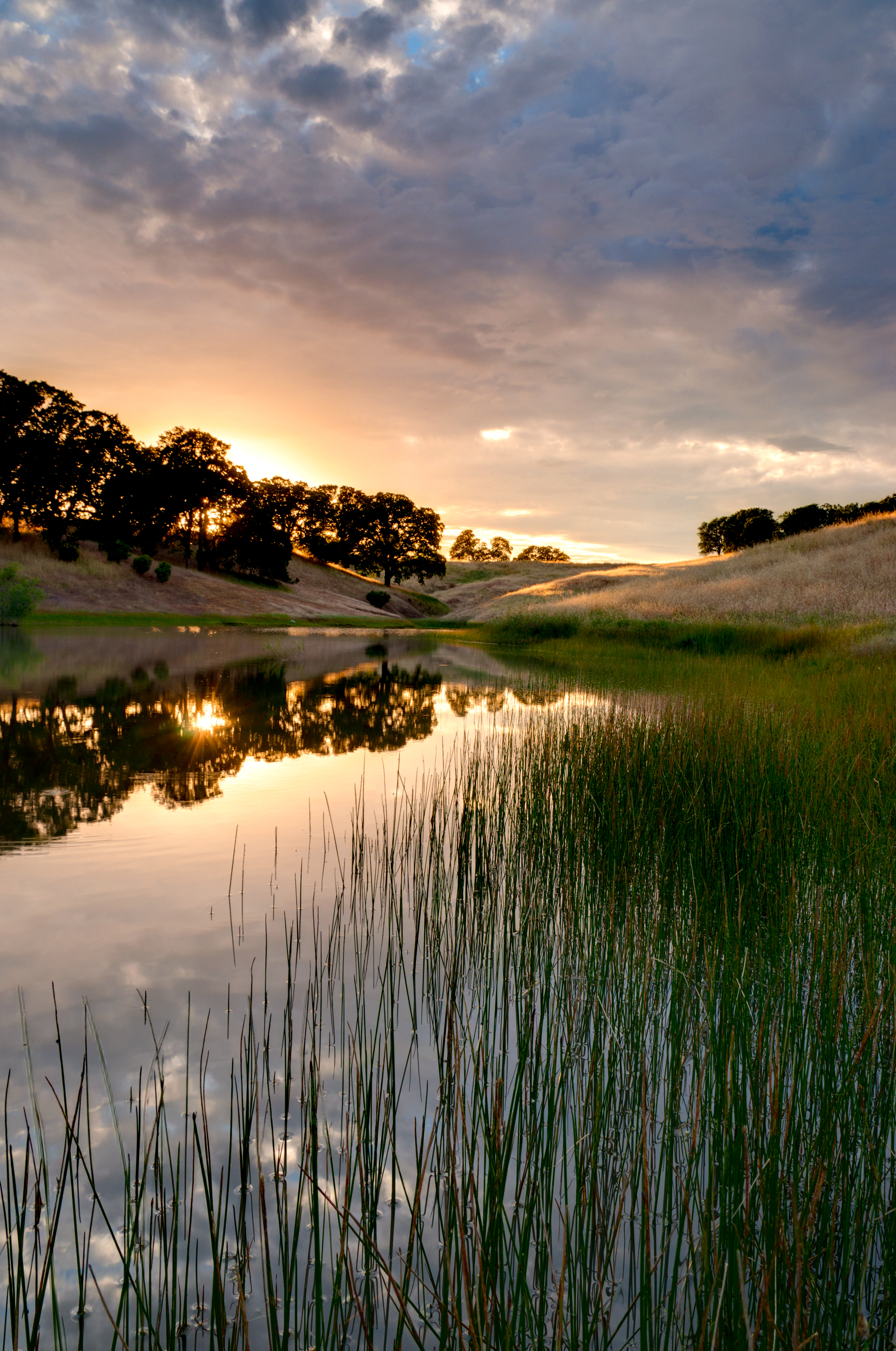
Red Bluff Sunset (Ive got a feeling)

Autumn Oaks (Potpourri)

Red Bluff Diversion Dam
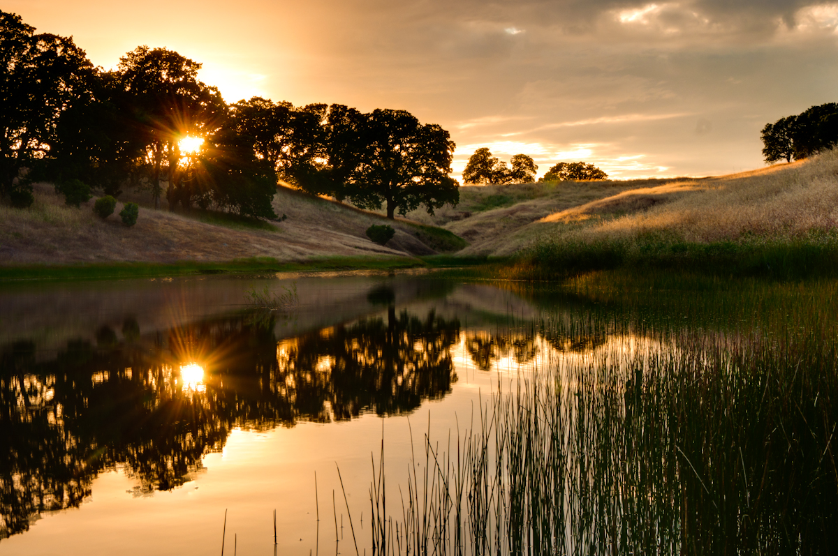
Sunsets forever
Growing Fonder

UP 8092 North at Gerber, California

Coyote Pond - A New Breathe

Iron Canyon Loop

Almond Orchard Blossoms

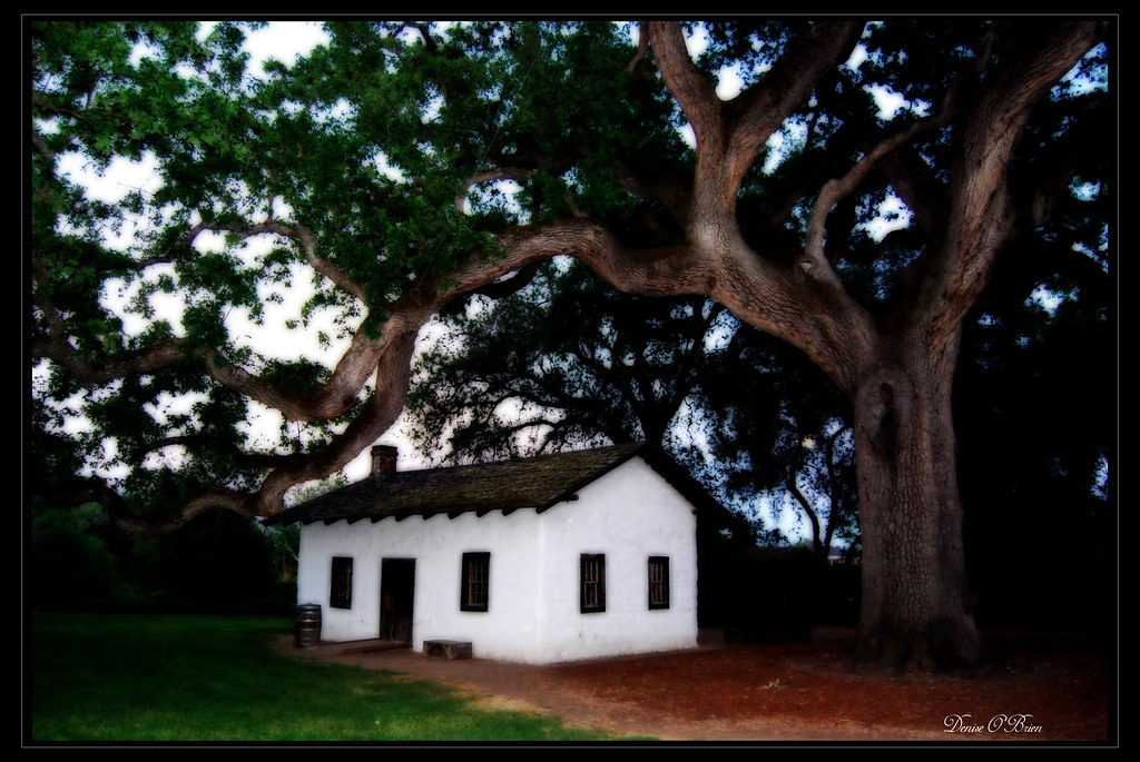
Ide Adobe
Dinner Time!
Heritage Oak
Ide Adobe at sunset
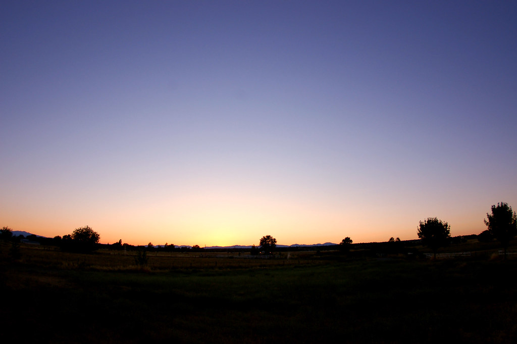
The 4th Sunset
Gilmore Rd SPC 6, Red Bluff, CA アメリカ合衆国の地図
別の場所を検索
近所の場所
Grove Cir, Red Bluff, CA アメリカ合衆国
アメリカ合衆国 〒 カリフォルニア州 レッド・ブラフ
Aloha St, Red Bluff, CA アメリカ合衆国
Hasvold Dr, Red Bluff, CA アメリカ合衆国
Aloha St, Red Bluff, CA アメリカ合衆国
Douglass St, Red Bluff, CA アメリカ合衆国
Via Del Roble, Red Bluff, CA アメリカ合衆国
Baker Rd, Red Bluff, CA アメリカ合衆国
Wilcox Rd, Red Bluff, CA アメリカ合衆国
State Hwy 99w, Red Bluff, CA アメリカ合衆国
McCoy Rd, Red Bluff, CA アメリカ合衆国
Brent Rd, Red Bluff, CA アメリカ合衆国
E Wallen Rd, Red Bluff, CA アメリカ合衆国
アメリカ合衆国 〒 カリフォルニア州 ベンド
Vía Pasado, Red Bluff, CA アメリカ合衆国
アメリカ合衆国 カリフォルニア州 レッド・ブラフ
アメリカ合衆国 カリフォルニア州 テハマ
Penner Dr, Red Bluff, CA アメリカ合衆国Penner Drive
Kauffman Ave, Red Bluff, CA アメリカ合衆国
Frantz Dr, Red Bluff, CA アメリカ合衆国Frantz Drive
最近の検索
- アメリカ合衆国 アラスカ州 レッド・ドッグ・マイン日の出日の入り時間
- Am bhf, Borken, ドイツアム・バーンホーフ日の出日の入り時間
- 4th St E, Sonoma, CA, USA日の出日の入り時間
- Oakland Ave, Williamsport, PA アメリカ合衆国日の出日の入り時間
- Via Roma, Pieranica CR, イタリアローマ通り日の出日の入り時間
- クロアチア 〒 ドゥブロブニク GradClock Tower of Dubrovnik日の出日の入り時間
- アルゼンチン チュブ州 トレリュー日の出日の入り時間
- Hartfords Bluff Cir, Mt Pleasant, SC アメリカ合衆国日の出日の入り時間
- 日本、熊本県熊本市北区日の出日の入り時間
- 中華人民共和国 福州市 平潭県 平潭島日の出日の入り時間