Gator Ridge Rd, Topton, NC アメリカ合衆国日の出日の入り時間
Location: アメリカ合衆国 > ノース・カロライナ州 > チェロキー > アメリカ合衆国 ノース・カロライナ州 バリータウン > アメリカ合衆国 〒 ノース・カロライナ州 トップトン >
時間帯:
America/New_York
現地時間:
2025-07-06 11:03:35
経度:
-83.61292
緯度:
35.217452
今日の日の出時刻:
06:26:21 AM
今日の日の入時刻:
08:52:22 PM
今日の日長:
14h 26m 1s
明日の日の出時刻:
06:26:54 AM
明日の日の入時刻:
08:52:08 PM
明日の日長:
14h 25m 14s
すべて表示する
| 日付 | 日出 | 日没 | 日長 |
|---|---|---|---|
| 2025年01月01日 | 07:43:07 AM | 05:34:02 PM | 9h 50m 55s |
| 2025年01月02日 | 07:43:14 AM | 05:34:49 PM | 9h 51m 35s |
| 2025年01月03日 | 07:43:20 AM | 05:35:38 PM | 9h 52m 18s |
| 2025年01月04日 | 07:43:24 AM | 05:36:28 PM | 9h 53m 4s |
| 2025年01月05日 | 07:43:25 AM | 05:37:19 PM | 9h 53m 54s |
| 2025年01月06日 | 07:43:25 AM | 05:38:11 PM | 9h 54m 46s |
| 2025年01月07日 | 07:43:23 AM | 05:39:03 PM | 9h 55m 40s |
| 2025年01月08日 | 07:43:20 AM | 05:39:57 PM | 9h 56m 37s |
| 2025年01月09日 | 07:43:14 AM | 05:40:51 PM | 9h 57m 37s |
| 2025年01月10日 | 07:43:06 AM | 05:41:47 PM | 9h 58m 41s |
| 2025年01月11日 | 07:42:56 AM | 05:42:43 PM | 9h 59m 47s |
| 2025年01月12日 | 07:42:45 AM | 05:43:39 PM | 10h 0m 54s |
| 2025年01月13日 | 07:42:31 AM | 05:44:36 PM | 10h 2m 5s |
| 2025年01月14日 | 07:42:16 AM | 05:45:34 PM | 10h 3m 18s |
| 2025年01月15日 | 07:41:59 AM | 05:46:33 PM | 10h 4m 34s |
| 2025年01月16日 | 07:41:39 AM | 05:47:31 PM | 10h 5m 52s |
| 2025年01月17日 | 07:41:18 AM | 05:48:31 PM | 10h 7m 13s |
| 2025年01月18日 | 07:40:55 AM | 05:49:30 PM | 10h 8m 35s |
| 2025年01月19日 | 07:40:31 AM | 05:50:31 PM | 10h 10m 0s |
| 2025年01月20日 | 07:40:04 AM | 05:51:31 PM | 10h 11m 27s |
| 2025年01月21日 | 07:39:36 AM | 05:52:32 PM | 10h 12m 56s |
| 2025年01月22日 | 07:39:05 AM | 05:53:33 PM | 10h 14m 28s |
| 2025年01月23日 | 07:38:33 AM | 05:54:34 PM | 10h 16m 1s |
| 2025年01月24日 | 07:38:00 AM | 05:55:35 PM | 10h 17m 35s |
| 2025年01月25日 | 07:37:24 AM | 05:56:36 PM | 10h 19m 12s |
| 2025年01月26日 | 07:36:47 AM | 05:57:38 PM | 10h 20m 51s |
| 2025年01月27日 | 07:36:08 AM | 05:58:40 PM | 10h 22m 32s |
| 2025年01月28日 | 07:35:28 AM | 05:59:41 PM | 10h 24m 13s |
| 2025年01月29日 | 07:34:46 AM | 06:00:43 PM | 10h 25m 57s |
| 2025年01月30日 | 07:34:02 AM | 06:01:44 PM | 10h 27m 42s |
| 2025年01月31日 | 07:33:17 AM | 06:02:46 PM | 10h 29m 29s |
| 2025年02月01日 | 07:32:30 AM | 06:03:47 PM | 10h 31m 17s |
| 2025年02月02日 | 07:31:42 AM | 06:04:49 PM | 10h 33m 7s |
| 2025年02月03日 | 07:30:52 AM | 06:05:50 PM | 10h 34m 58s |
| 2025年02月04日 | 07:30:01 AM | 06:06:51 PM | 10h 36m 50s |
| 2025年02月05日 | 07:29:08 AM | 06:07:52 PM | 10h 38m 44s |
| 2025年02月06日 | 07:28:14 AM | 06:08:52 PM | 10h 40m 38s |
| 2025年02月07日 | 07:27:19 AM | 06:09:53 PM | 10h 42m 34s |
| 2025年02月08日 | 07:26:22 AM | 06:10:53 PM | 10h 44m 31s |
| 2025年02月09日 | 07:25:24 AM | 06:11:53 PM | 10h 46m 29s |
| 2025年02月10日 | 07:24:24 AM | 06:12:53 PM | 10h 48m 29s |
| 2025年02月11日 | 07:23:24 AM | 06:13:52 PM | 10h 50m 28s |
| 2025年02月12日 | 07:22:22 AM | 06:14:51 PM | 10h 52m 29s |
| 2025年02月13日 | 07:21:19 AM | 06:15:50 PM | 10h 54m 31s |
| 2025年02月14日 | 07:20:14 AM | 06:16:49 PM | 10h 56m 35s |
| 2025年02月15日 | 07:19:09 AM | 06:17:47 PM | 10h 58m 38s |
| 2025年02月16日 | 07:18:03 AM | 06:18:45 PM | 11h 0m 42s |
| 2025年02月17日 | 07:16:55 AM | 06:19:42 PM | 11h 2m 47s |
| 2025年02月18日 | 07:15:47 AM | 06:20:39 PM | 11h 4m 52s |
| 2025年02月19日 | 07:14:37 AM | 06:21:36 PM | 11h 6m 59s |
| 2025年02月20日 | 07:13:27 AM | 06:22:33 PM | 11h 9m 6s |
| 2025年02月21日 | 07:12:15 AM | 06:23:29 PM | 11h 11m 14s |
| 2025年02月22日 | 07:11:03 AM | 06:24:25 PM | 11h 13m 22s |
| 2025年02月23日 | 07:09:50 AM | 06:25:21 PM | 11h 15m 31s |
| 2025年02月24日 | 07:08:36 AM | 06:26:16 PM | 11h 17m 40s |
| 2025年02月25日 | 07:07:21 AM | 06:27:11 PM | 11h 19m 50s |
| 2025年02月26日 | 07:06:06 AM | 06:28:05 PM | 11h 21m 59s |
| 2025年02月27日 | 07:04:49 AM | 06:29:00 PM | 11h 24m 11s |
| 2025年02月28日 | 07:03:32 AM | 06:29:53 PM | 11h 26m 21s |
| 2025年03月01日 | 07:02:15 AM | 06:30:47 PM | 11h 28m 32s |
| 2025年03月02日 | 07:00:56 AM | 06:31:40 PM | 11h 30m 44s |
| 2025年03月03日 | 06:59:37 AM | 06:32:33 PM | 11h 32m 56s |
| 2025年03月04日 | 06:58:18 AM | 06:33:26 PM | 11h 35m 8s |
| 2025年03月05日 | 06:56:58 AM | 06:34:18 PM | 11h 37m 20s |
| 2025年03月06日 | 06:55:37 AM | 06:35:10 PM | 11h 39m 33s |
| 2025年03月07日 | 06:54:16 AM | 06:36:02 PM | 11h 41m 46s |
| 2025年03月08日 | 06:52:55 AM | 06:36:54 PM | 11h 43m 59s |
| 2025年03月09日 | 07:51:36 AM | 07:37:43 PM | 11h 46m 7s |
| 2025年03月10日 | 07:50:14 AM | 07:38:34 PM | 11h 48m 20s |
| 2025年03月11日 | 07:48:51 AM | 07:39:25 PM | 11h 50m 34s |
| 2025年03月12日 | 07:47:28 AM | 07:40:15 PM | 11h 52m 47s |
| 2025年03月13日 | 07:46:04 AM | 07:41:06 PM | 11h 55m 2s |
| 2025年03月14日 | 07:44:41 AM | 07:41:56 PM | 11h 57m 15s |
| 2025年03月15日 | 07:43:17 AM | 07:42:46 PM | 11h 59m 29s |
| 2025年03月16日 | 07:41:53 AM | 07:43:36 PM | 12h 1m 43s |
| 2025年03月17日 | 07:40:28 AM | 07:44:25 PM | 12h 3m 57s |
| 2025年03月18日 | 07:39:04 AM | 07:45:15 PM | 12h 6m 11s |
| 2025年03月19日 | 07:37:39 AM | 07:46:04 PM | 12h 8m 25s |
| 2025年03月20日 | 07:36:14 AM | 07:46:53 PM | 12h 10m 39s |
| 2025年03月21日 | 07:34:50 AM | 07:47:42 PM | 12h 12m 52s |
| 2025年03月22日 | 07:33:25 AM | 07:48:31 PM | 12h 15m 6s |
| 2025年03月23日 | 07:32:00 AM | 07:49:20 PM | 12h 17m 20s |
| 2025年03月24日 | 07:30:35 AM | 07:50:08 PM | 12h 19m 33s |
| 2025年03月25日 | 07:29:10 AM | 07:50:57 PM | 12h 21m 47s |
| 2025年03月26日 | 07:27:45 AM | 07:51:45 PM | 12h 24m 0s |
| 2025年03月27日 | 07:26:21 AM | 07:52:34 PM | 12h 26m 13s |
| 2025年03月28日 | 07:24:56 AM | 07:53:22 PM | 12h 28m 26s |
| 2025年03月29日 | 07:23:32 AM | 07:54:11 PM | 12h 30m 39s |
| 2025年03月30日 | 07:22:08 AM | 07:54:59 PM | 12h 32m 51s |
| 2025年03月31日 | 07:20:44 AM | 07:55:47 PM | 12h 35m 3s |
| 2025年04月01日 | 07:19:20 AM | 07:56:35 PM | 12h 37m 15s |
| 2025年04月02日 | 07:17:57 AM | 07:57:24 PM | 12h 39m 27s |
| 2025年04月03日 | 07:16:34 AM | 07:58:12 PM | 12h 41m 38s |
| 2025年04月04日 | 07:15:11 AM | 07:59:00 PM | 12h 43m 49s |
| 2025年04月05日 | 07:13:49 AM | 07:59:48 PM | 12h 45m 59s |
| 2025年04月06日 | 07:12:27 AM | 08:00:37 PM | 12h 48m 10s |
| 2025年04月07日 | 07:11:05 AM | 08:01:25 PM | 12h 50m 20s |
| 2025年04月08日 | 07:09:44 AM | 08:02:13 PM | 12h 52m 29s |
| 2025年04月09日 | 07:08:23 AM | 08:03:02 PM | 12h 54m 39s |
| 2025年04月10日 | 07:07:03 AM | 08:03:50 PM | 12h 56m 47s |
| 2025年04月11日 | 07:05:44 AM | 08:04:39 PM | 12h 58m 55s |
| 2025年04月12日 | 07:04:25 AM | 08:05:27 PM | 13h 1m 2s |
| 2025年04月13日 | 07:03:06 AM | 08:06:16 PM | 13h 3m 10s |
| 2025年04月14日 | 07:01:49 AM | 08:07:05 PM | 13h 5m 16s |
| 2025年04月15日 | 07:00:31 AM | 08:07:54 PM | 13h 7m 23s |
| 2025年04月16日 | 06:59:15 AM | 08:08:42 PM | 13h 9m 27s |
| 2025年04月17日 | 06:57:59 AM | 08:09:31 PM | 13h 11m 32s |
| 2025年04月18日 | 06:56:44 AM | 08:10:20 PM | 13h 13m 36s |
| 2025年04月19日 | 06:55:30 AM | 08:11:09 PM | 13h 15m 39s |
| 2025年04月20日 | 06:54:17 AM | 08:11:58 PM | 13h 17m 41s |
| 2025年04月21日 | 06:53:04 AM | 08:12:47 PM | 13h 19m 43s |
| 2025年04月22日 | 06:51:52 AM | 08:13:37 PM | 13h 21m 45s |
| 2025年04月23日 | 06:50:41 AM | 08:14:26 PM | 13h 23m 45s |
| 2025年04月24日 | 06:49:31 AM | 08:15:15 PM | 13h 25m 44s |
| 2025年04月25日 | 06:48:22 AM | 08:16:04 PM | 13h 27m 42s |
| 2025年04月26日 | 06:47:14 AM | 08:16:54 PM | 13h 29m 40s |
| 2025年04月27日 | 06:46:07 AM | 08:17:43 PM | 13h 31m 36s |
| 2025年04月28日 | 06:45:01 AM | 08:18:32 PM | 13h 33m 31s |
| 2025年04月29日 | 06:43:56 AM | 08:19:22 PM | 13h 35m 26s |
| 2025年04月30日 | 06:42:53 AM | 08:20:11 PM | 13h 37m 18s |
| 2025年05月01日 | 06:41:50 AM | 08:21:00 PM | 13h 39m 10s |
| 2025年05月02日 | 06:40:48 AM | 08:21:50 PM | 13h 41m 2s |
| 2025年05月03日 | 06:39:48 AM | 08:22:39 PM | 13h 42m 51s |
| 2025年05月04日 | 06:38:48 AM | 08:23:28 PM | 13h 44m 40s |
| 2025年05月05日 | 06:37:50 AM | 08:24:17 PM | 13h 46m 27s |
| 2025年05月06日 | 06:36:54 AM | 08:25:06 PM | 13h 48m 12s |
| 2025年05月07日 | 06:35:58 AM | 08:25:55 PM | 13h 49m 57s |
| 2025年05月08日 | 06:35:04 AM | 08:26:43 PM | 13h 51m 39s |
| 2025年05月09日 | 06:34:11 AM | 08:27:32 PM | 13h 53m 21s |
| 2025年05月10日 | 06:33:19 AM | 08:28:20 PM | 13h 55m 1s |
| 2025年05月11日 | 06:32:29 AM | 08:29:08 PM | 13h 56m 39s |
| 2025年05月12日 | 06:31:40 AM | 08:29:56 PM | 13h 58m 16s |
| 2025年05月13日 | 06:30:53 AM | 08:30:44 PM | 13h 59m 51s |
| 2025年05月14日 | 06:30:06 AM | 08:31:31 PM | 14h 1m 25s |
| 2025年05月15日 | 06:29:22 AM | 08:32:18 PM | 14h 2m 56s |
| 2025年05月16日 | 06:28:39 AM | 08:33:04 PM | 14h 4m 25s |
| 2025年05月17日 | 06:27:57 AM | 08:33:51 PM | 14h 5m 54s |
| 2025年05月18日 | 06:27:17 AM | 08:34:37 PM | 14h 7m 20s |
| 2025年05月19日 | 06:26:38 AM | 08:35:22 PM | 14h 8m 44s |
| 2025年05月20日 | 06:26:01 AM | 08:36:07 PM | 14h 10m 6s |
| 2025年05月21日 | 06:25:26 AM | 08:36:51 PM | 14h 11m 25s |
| 2025年05月22日 | 06:24:52 AM | 08:37:35 PM | 14h 12m 43s |
| 2025年05月23日 | 06:24:19 AM | 08:38:19 PM | 14h 14m 0s |
| 2025年05月24日 | 06:23:49 AM | 08:39:01 PM | 14h 15m 12s |
| 2025年05月25日 | 06:23:19 AM | 08:39:43 PM | 14h 16m 24s |
| 2025年05月26日 | 06:22:52 AM | 08:40:25 PM | 14h 17m 33s |
| 2025年05月27日 | 06:22:26 AM | 08:41:06 PM | 14h 18m 40s |
| 2025年05月28日 | 06:22:02 AM | 08:41:46 PM | 14h 19m 44s |
| 2025年05月29日 | 06:21:39 AM | 08:42:25 PM | 14h 20m 46s |
| 2025年05月30日 | 06:21:18 AM | 08:43:03 PM | 14h 21m 45s |
| 2025年05月31日 | 06:20:59 AM | 08:43:41 PM | 14h 22m 42s |
| 2025年06月01日 | 06:20:41 AM | 08:44:17 PM | 14h 23m 36s |
| 2025年06月02日 | 06:20:25 AM | 08:44:53 PM | 14h 24m 28s |
| 2025年06月03日 | 06:20:11 AM | 08:45:28 PM | 14h 25m 17s |
| 2025年06月04日 | 06:19:58 AM | 08:46:02 PM | 14h 26m 4s |
| 2025年06月05日 | 06:19:47 AM | 08:46:35 PM | 14h 26m 48s |
| 2025年06月06日 | 06:19:38 AM | 08:47:06 PM | 14h 27m 28s |
| 2025年06月07日 | 06:19:30 AM | 08:47:37 PM | 14h 28m 7s |
| 2025年06月08日 | 06:19:24 AM | 08:48:06 PM | 14h 28m 42s |
| 2025年06月09日 | 06:19:20 AM | 08:48:35 PM | 14h 29m 15s |
| 2025年06月10日 | 06:19:17 AM | 08:49:02 PM | 14h 29m 45s |
| 2025年06月11日 | 06:19:16 AM | 08:49:28 PM | 14h 30m 12s |
| 2025年06月12日 | 06:19:17 AM | 08:49:52 PM | 14h 30m 35s |
| 2025年06月13日 | 06:19:19 AM | 08:50:15 PM | 14h 30m 56s |
| 2025年06月14日 | 06:19:22 AM | 08:50:37 PM | 14h 31m 15s |
| 2025年06月15日 | 06:19:27 AM | 08:50:58 PM | 14h 31m 31s |
| 2025年06月16日 | 06:19:34 AM | 08:51:17 PM | 14h 31m 43s |
| 2025年06月17日 | 06:19:43 AM | 08:51:35 PM | 14h 31m 52s |
| 2025年06月18日 | 06:19:52 AM | 08:51:51 PM | 14h 31m 59s |
| 2025年06月19日 | 06:20:04 AM | 08:52:06 PM | 14h 32m 2s |
| 2025年06月20日 | 06:20:16 AM | 08:52:20 PM | 14h 32m 4s |
| 2025年06月21日 | 06:20:31 AM | 08:52:31 PM | 14h 32m 0s |
| 2025年06月22日 | 06:20:46 AM | 08:52:42 PM | 14h 31m 56s |
| 2025年06月23日 | 06:21:03 AM | 08:52:50 PM | 14h 31m 47s |
| 2025年06月24日 | 06:21:22 AM | 08:52:58 PM | 14h 31m 36s |
| 2025年06月25日 | 06:21:41 AM | 08:53:03 PM | 14h 31m 22s |
| 2025年06月26日 | 06:22:02 AM | 08:53:07 PM | 14h 31m 5s |
| 2025年06月27日 | 06:22:25 AM | 08:53:09 PM | 14h 30m 44s |
| 2025年06月28日 | 06:22:48 AM | 08:53:10 PM | 14h 30m 22s |
| 2025年06月29日 | 06:23:13 AM | 08:53:09 PM | 14h 29m 56s |
| 2025年06月30日 | 06:23:39 AM | 08:53:06 PM | 14h 29m 27s |
| 2025年07月01日 | 06:24:06 AM | 08:53:02 PM | 14h 28m 56s |
| 2025年07月02日 | 06:24:34 AM | 08:52:56 PM | 14h 28m 22s |
| 2025年07月03日 | 06:25:03 AM | 08:52:48 PM | 14h 27m 45s |
| 2025年07月04日 | 06:25:34 AM | 08:52:39 PM | 14h 27m 5s |
| 2025年07月05日 | 06:26:05 AM | 08:52:28 PM | 14h 26m 23s |
| 2025年07月06日 | 06:26:37 AM | 08:52:15 PM | 14h 25m 38s |
| 2025年07月07日 | 06:27:11 AM | 08:52:00 PM | 14h 24m 49s |
| 2025年07月08日 | 06:27:45 AM | 08:51:44 PM | 14h 23m 59s |
| 2025年07月09日 | 06:28:20 AM | 08:51:26 PM | 14h 23m 6s |
| 2025年07月10日 | 06:28:55 AM | 08:51:06 PM | 14h 22m 11s |
| 2025年07月11日 | 06:29:32 AM | 08:50:45 PM | 14h 21m 13s |
| 2025年07月12日 | 06:30:09 AM | 08:50:22 PM | 14h 20m 13s |
| 2025年07月13日 | 06:30:47 AM | 08:49:57 PM | 14h 19m 10s |
| 2025年07月14日 | 06:31:26 AM | 08:49:31 PM | 14h 18m 5s |
| 2025年07月15日 | 06:32:05 AM | 08:49:03 PM | 14h 16m 58s |
| 2025年07月16日 | 06:32:45 AM | 08:48:33 PM | 14h 15m 48s |
| 2025年07月17日 | 06:33:26 AM | 08:48:02 PM | 14h 14m 36s |
| 2025年07月18日 | 06:34:07 AM | 08:47:29 PM | 14h 13m 22s |
| 2025年07月19日 | 06:34:49 AM | 08:46:54 PM | 14h 12m 5s |
| 2025年07月20日 | 06:35:31 AM | 08:46:18 PM | 14h 10m 47s |
| 2025年07月21日 | 06:36:13 AM | 08:45:40 PM | 14h 9m 27s |
| 2025年07月22日 | 06:36:56 AM | 08:45:01 PM | 14h 8m 5s |
| 2025年07月23日 | 06:37:40 AM | 08:44:20 PM | 14h 6m 40s |
| 2025年07月24日 | 06:38:23 AM | 08:43:37 PM | 14h 5m 14s |
| 2025年07月25日 | 06:39:07 AM | 08:42:53 PM | 14h 3m 46s |
| 2025年07月26日 | 06:39:52 AM | 08:42:08 PM | 14h 2m 16s |
| 2025年07月27日 | 06:40:36 AM | 08:41:21 PM | 14h 0m 45s |
| 2025年07月28日 | 06:41:21 AM | 08:40:33 PM | 13h 59m 12s |
| 2025年07月29日 | 06:42:06 AM | 08:39:43 PM | 13h 57m 37s |
| 2025年07月30日 | 06:42:51 AM | 08:38:52 PM | 13h 56m 1s |
| 2025年07月31日 | 06:43:36 AM | 08:37:59 PM | 13h 54m 23s |
| 2025年08月01日 | 06:44:22 AM | 08:37:05 PM | 13h 52m 43s |
| 2025年08月02日 | 06:45:08 AM | 08:36:10 PM | 13h 51m 2s |
| 2025年08月03日 | 06:45:53 AM | 08:35:13 PM | 13h 49m 20s |
| 2025年08月04日 | 06:46:39 AM | 08:34:15 PM | 13h 47m 36s |
| 2025年08月05日 | 06:47:25 AM | 08:33:16 PM | 13h 45m 51s |
| 2025年08月06日 | 06:48:11 AM | 08:32:16 PM | 13h 44m 5s |
| 2025年08月07日 | 06:48:57 AM | 08:31:14 PM | 13h 42m 17s |
| 2025年08月08日 | 06:49:43 AM | 08:30:11 PM | 13h 40m 28s |
| 2025年08月09日 | 06:50:29 AM | 08:29:07 PM | 13h 38m 38s |
| 2025年08月10日 | 06:51:15 AM | 08:28:02 PM | 13h 36m 47s |
| 2025年08月11日 | 06:52:01 AM | 08:26:56 PM | 13h 34m 55s |
| 2025年08月12日 | 06:52:47 AM | 08:25:49 PM | 13h 33m 2s |
| 2025年08月13日 | 06:53:33 AM | 08:24:40 PM | 13h 31m 7s |
| 2025年08月14日 | 06:54:19 AM | 08:23:31 PM | 13h 29m 12s |
| 2025年08月15日 | 06:55:04 AM | 08:22:21 PM | 13h 27m 17s |
| 2025年08月16日 | 06:55:50 AM | 08:21:09 PM | 13h 25m 19s |
| 2025年08月17日 | 06:56:36 AM | 08:19:57 PM | 13h 23m 21s |
| 2025年08月18日 | 06:57:21 AM | 08:18:44 PM | 13h 21m 23s |
| 2025年08月19日 | 06:58:07 AM | 08:17:30 PM | 13h 19m 23s |
| 2025年08月20日 | 06:58:52 AM | 08:16:15 PM | 13h 17m 23s |
| 2025年08月21日 | 06:59:37 AM | 08:14:59 PM | 13h 15m 22s |
| 2025年08月22日 | 07:00:23 AM | 08:13:43 PM | 13h 13m 20s |
| 2025年08月23日 | 07:01:08 AM | 08:12:26 PM | 13h 11m 18s |
| 2025年08月24日 | 07:01:53 AM | 08:11:08 PM | 13h 9m 15s |
| 2025年08月25日 | 07:02:38 AM | 08:09:49 PM | 13h 7m 11s |
| 2025年08月26日 | 07:03:22 AM | 08:08:29 PM | 13h 5m 7s |
| 2025年08月27日 | 07:04:07 AM | 08:07:09 PM | 13h 3m 2s |
| 2025年08月28日 | 07:04:52 AM | 08:05:49 PM | 13h 0m 57s |
| 2025年08月29日 | 07:05:36 AM | 08:04:27 PM | 12h 58m 51s |
| 2025年08月30日 | 07:06:21 AM | 08:03:06 PM | 12h 56m 45s |
| 2025年08月31日 | 07:07:05 AM | 08:01:43 PM | 12h 54m 38s |
| 2025年09月01日 | 07:07:49 AM | 08:00:20 PM | 12h 52m 31s |
| 2025年09月02日 | 07:08:34 AM | 07:58:57 PM | 12h 50m 23s |
| 2025年09月03日 | 07:09:18 AM | 07:57:33 PM | 12h 48m 15s |
| 2025年09月04日 | 07:10:02 AM | 07:56:09 PM | 12h 46m 7s |
| 2025年09月05日 | 07:10:46 AM | 07:54:44 PM | 12h 43m 58s |
| 2025年09月06日 | 07:11:30 AM | 07:53:19 PM | 12h 41m 49s |
| 2025年09月07日 | 07:12:14 AM | 07:51:54 PM | 12h 39m 40s |
| 2025年09月08日 | 07:12:58 AM | 07:50:28 PM | 12h 37m 30s |
| 2025年09月09日 | 07:13:42 AM | 07:49:02 PM | 12h 35m 20s |
| 2025年09月10日 | 07:14:26 AM | 07:47:36 PM | 12h 33m 10s |
| 2025年09月11日 | 07:15:10 AM | 07:46:10 PM | 12h 31m 0s |
| 2025年09月12日 | 07:15:54 AM | 07:44:43 PM | 12h 28m 49s |
| 2025年09月13日 | 07:16:38 AM | 07:43:16 PM | 12h 26m 38s |
| 2025年09月14日 | 07:17:22 AM | 07:41:49 PM | 12h 24m 27s |
| 2025年09月15日 | 07:18:06 AM | 07:40:22 PM | 12h 22m 16s |
| 2025年09月16日 | 07:18:50 AM | 07:38:55 PM | 12h 20m 5s |
| 2025年09月17日 | 07:19:35 AM | 07:37:28 PM | 12h 17m 53s |
| 2025年09月18日 | 07:20:19 AM | 07:36:01 PM | 12h 15m 42s |
| 2025年09月19日 | 07:21:04 AM | 07:34:34 PM | 12h 13m 30s |
| 2025年09月20日 | 07:21:48 AM | 07:33:07 PM | 12h 11m 19s |
| 2025年09月21日 | 07:22:33 AM | 07:31:40 PM | 12h 9m 7s |
| 2025年09月22日 | 07:23:18 AM | 07:30:13 PM | 12h 6m 55s |
| 2025年09月23日 | 07:24:03 AM | 07:28:46 PM | 12h 4m 43s |
| 2025年09月24日 | 07:24:48 AM | 07:27:19 PM | 12h 2m 31s |
| 2025年09月25日 | 07:25:33 AM | 07:25:52 PM | 12h 0m 19s |
| 2025年09月26日 | 07:26:19 AM | 07:24:26 PM | 11h 58m 7s |
| 2025年09月27日 | 07:27:04 AM | 07:23:00 PM | 11h 55m 56s |
| 2025年09月28日 | 07:27:50 AM | 07:21:34 PM | 11h 53m 44s |
| 2025年09月29日 | 07:28:36 AM | 07:20:09 PM | 11h 51m 33s |
| 2025年09月30日 | 07:29:23 AM | 07:18:43 PM | 11h 49m 20s |
| 2025年10月01日 | 07:30:09 AM | 07:17:18 PM | 11h 47m 9s |
| 2025年10月02日 | 07:30:56 AM | 07:15:54 PM | 11h 44m 58s |
| 2025年10月03日 | 07:31:43 AM | 07:14:30 PM | 11h 42m 47s |
| 2025年10月04日 | 07:32:31 AM | 07:13:06 PM | 11h 40m 35s |
| 2025年10月05日 | 07:33:18 AM | 07:11:43 PM | 11h 38m 25s |
| 2025年10月06日 | 07:34:06 AM | 07:10:20 PM | 11h 36m 14s |
| 2025年10月07日 | 07:34:54 AM | 07:08:58 PM | 11h 34m 4s |
| 2025年10月08日 | 07:35:43 AM | 07:07:37 PM | 11h 31m 54s |
| 2025年10月09日 | 07:36:32 AM | 07:06:16 PM | 11h 29m 44s |
| 2025年10月10日 | 07:37:21 AM | 07:04:55 PM | 11h 27m 34s |
| 2025年10月11日 | 07:38:11 AM | 07:03:36 PM | 11h 25m 25s |
| 2025年10月12日 | 07:39:00 AM | 07:02:17 PM | 11h 23m 17s |
| 2025年10月13日 | 07:39:51 AM | 07:00:58 PM | 11h 21m 7s |
| 2025年10月14日 | 07:40:41 AM | 06:59:41 PM | 11h 19m 0s |
| 2025年10月15日 | 07:41:32 AM | 06:58:24 PM | 11h 16m 52s |
| 2025年10月16日 | 07:42:23 AM | 06:57:08 PM | 11h 14m 45s |
| 2025年10月17日 | 07:43:15 AM | 06:55:53 PM | 11h 12m 38s |
| 2025年10月18日 | 07:44:07 AM | 06:54:39 PM | 11h 10m 32s |
| 2025年10月19日 | 07:44:59 AM | 06:53:25 PM | 11h 8m 26s |
| 2025年10月20日 | 07:45:52 AM | 06:52:13 PM | 11h 6m 21s |
| 2025年10月21日 | 07:46:45 AM | 06:51:01 PM | 11h 4m 16s |
| 2025年10月22日 | 07:47:39 AM | 06:49:51 PM | 11h 2m 12s |
| 2025年10月23日 | 07:48:32 AM | 06:48:42 PM | 11h 0m 10s |
| 2025年10月24日 | 07:49:27 AM | 06:47:33 PM | 10h 58m 6s |
| 2025年10月25日 | 07:50:21 AM | 06:46:26 PM | 10h 56m 5s |
| 2025年10月26日 | 07:51:16 AM | 06:45:20 PM | 10h 54m 4s |
| 2025年10月27日 | 07:52:11 AM | 06:44:15 PM | 10h 52m 4s |
| 2025年10月28日 | 07:53:07 AM | 06:43:11 PM | 10h 50m 4s |
| 2025年10月29日 | 07:54:03 AM | 06:42:09 PM | 10h 48m 6s |
| 2025年10月30日 | 07:54:59 AM | 06:41:07 PM | 10h 46m 8s |
| 2025年10月31日 | 07:55:55 AM | 06:40:07 PM | 10h 44m 12s |
| 2025年11月01日 | 07:56:52 AM | 06:39:09 PM | 10h 42m 17s |
| 2025年11月02日 | 06:57:51 AM | 05:38:09 PM | 10h 40m 18s |
| 2025年11月03日 | 06:58:49 AM | 05:37:13 PM | 10h 38m 24s |
| 2025年11月04日 | 06:59:46 AM | 05:36:18 PM | 10h 36m 32s |
| 2025年11月05日 | 07:00:44 AM | 05:35:25 PM | 10h 34m 41s |
| 2025年11月06日 | 07:01:42 AM | 05:34:34 PM | 10h 32m 52s |
| 2025年11月07日 | 07:02:40 AM | 05:33:44 PM | 10h 31m 4s |
| 2025年11月08日 | 07:03:38 AM | 05:32:55 PM | 10h 29m 17s |
| 2025年11月09日 | 07:04:37 AM | 05:32:08 PM | 10h 27m 31s |
| 2025年11月10日 | 07:05:36 AM | 05:31:22 PM | 10h 25m 46s |
| 2025年11月11日 | 07:06:34 AM | 05:30:39 PM | 10h 24m 5s |
| 2025年11月12日 | 07:07:33 AM | 05:29:56 PM | 10h 22m 23s |
| 2025年11月13日 | 07:08:32 AM | 05:29:16 PM | 10h 20m 44s |
| 2025年11月14日 | 07:09:30 AM | 05:28:37 PM | 10h 19m 7s |
| 2025年11月15日 | 07:10:29 AM | 05:28:00 PM | 10h 17m 31s |
| 2025年11月16日 | 07:11:28 AM | 05:27:24 PM | 10h 15m 56s |
| 2025年11月17日 | 07:12:26 AM | 05:26:51 PM | 10h 14m 25s |
| 2025年11月18日 | 07:13:25 AM | 05:26:19 PM | 10h 12m 54s |
| 2025年11月19日 | 07:14:23 AM | 05:25:49 PM | 10h 11m 26s |
| 2025年11月20日 | 07:15:21 AM | 05:25:21 PM | 10h 10m 0s |
| 2025年11月21日 | 07:16:19 AM | 05:24:54 PM | 10h 8m 35s |
| 2025年11月22日 | 07:17:17 AM | 05:24:30 PM | 10h 7m 13s |
| 2025年11月23日 | 07:18:14 AM | 05:24:07 PM | 10h 5m 53s |
| 2025年11月24日 | 07:19:11 AM | 05:23:46 PM | 10h 4m 35s |
| 2025年11月25日 | 07:20:07 AM | 05:23:28 PM | 10h 3m 21s |
| 2025年11月26日 | 07:21:03 AM | 05:23:11 PM | 10h 2m 8s |
| 2025年11月27日 | 07:21:58 AM | 05:22:56 PM | 10h 0m 58s |
| 2025年11月28日 | 07:22:53 AM | 05:22:43 PM | 9h 59m 50s |
| 2025年11月29日 | 07:23:48 AM | 05:22:32 PM | 9h 58m 44s |
| 2025年11月30日 | 07:24:41 AM | 05:22:23 PM | 9h 57m 42s |
| 2025年12月01日 | 07:25:34 AM | 05:22:15 PM | 9h 56m 41s |
| 2025年12月02日 | 07:26:26 AM | 05:22:10 PM | 9h 55m 44s |
| 2025年12月03日 | 07:27:18 AM | 05:22:07 PM | 9h 54m 49s |
| 2025年12月04日 | 07:28:09 AM | 05:22:06 PM | 9h 53m 57s |
| 2025年12月05日 | 07:28:58 AM | 05:22:07 PM | 9h 53m 9s |
| 2025年12月06日 | 07:29:47 AM | 05:22:09 PM | 9h 52m 22s |
| 2025年12月07日 | 07:30:35 AM | 05:22:14 PM | 9h 51m 39s |
| 2025年12月08日 | 07:31:22 AM | 05:22:21 PM | 9h 50m 59s |
| 2025年12月09日 | 07:32:07 AM | 05:22:29 PM | 9h 50m 22s |
| 2025年12月10日 | 07:32:52 AM | 05:22:40 PM | 9h 49m 48s |
| 2025年12月11日 | 07:33:35 AM | 05:22:52 PM | 9h 49m 17s |
| 2025年12月12日 | 07:34:18 AM | 05:23:06 PM | 9h 48m 48s |
| 2025年12月13日 | 07:34:58 AM | 05:23:22 PM | 9h 48m 24s |
| 2025年12月14日 | 07:35:38 AM | 05:23:40 PM | 9h 48m 2s |
| 2025年12月15日 | 07:36:16 AM | 05:24:00 PM | 9h 47m 44s |
| 2025年12月16日 | 07:36:53 AM | 05:24:22 PM | 9h 47m 29s |
| 2025年12月17日 | 07:37:29 AM | 05:24:45 PM | 9h 47m 16s |
| 2025年12月18日 | 07:38:03 AM | 05:25:11 PM | 9h 47m 8s |
| 2025年12月19日 | 07:38:35 AM | 05:25:38 PM | 9h 47m 3s |
| 2025年12月20日 | 07:39:06 AM | 05:26:06 PM | 9h 47m 0s |
| 2025年12月21日 | 07:39:35 AM | 05:26:37 PM | 9h 47m 2s |
| 2025年12月22日 | 07:40:03 AM | 05:27:09 PM | 9h 47m 6s |
| 2025年12月23日 | 07:40:29 AM | 05:27:42 PM | 9h 47m 13s |
| 2025年12月24日 | 07:40:53 AM | 05:28:17 PM | 9h 47m 24s |
| 2025年12月25日 | 07:41:16 AM | 05:28:54 PM | 9h 47m 38s |
| 2025年12月26日 | 07:41:37 AM | 05:29:32 PM | 9h 47m 55s |
| 2025年12月27日 | 07:41:56 AM | 05:30:12 PM | 9h 48m 16s |
| 2025年12月28日 | 07:42:13 AM | 05:30:53 PM | 9h 48m 40s |
| 2025年12月29日 | 07:42:29 AM | 05:31:35 PM | 9h 49m 6s |
| 2025年12月30日 | 07:42:42 AM | 05:32:19 PM | 9h 49m 37s |
| 2025年12月31日 | 07:42:54 AM | 05:33:04 PM | 9h 50m 10s |
写真

Mountain waves

Lake Nantahala sunset

West View from Wesser Bald Observation Tower

Wayah Why Such A Bad Photo
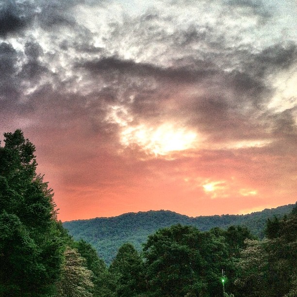
249/365

Winding Stair Sunrise
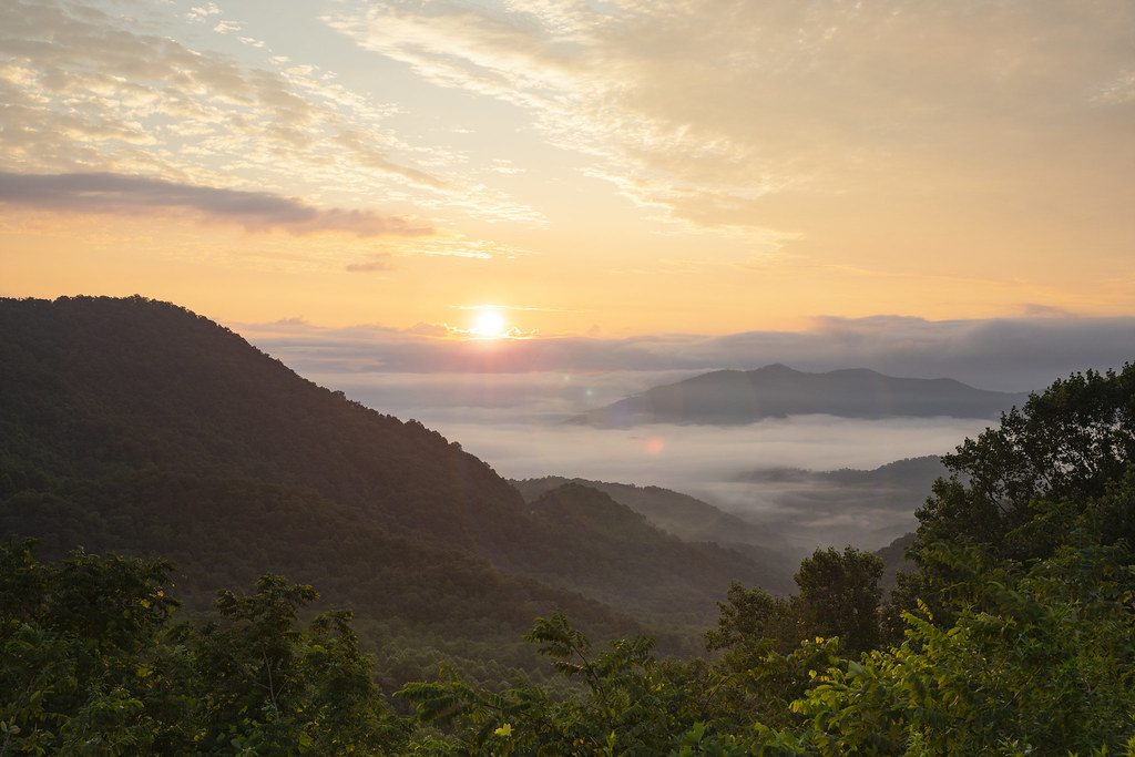
Winding Stair Sunrise

The mists of Nantahala Gorge
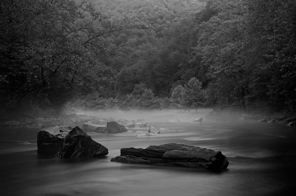
Just Past the Falls

Early Morning in Nantahala Gorge

Sunset at Aquone Hiker Lodge

Sunset over Clingman's Dome

Our sunset view from the Parsons' cabin in #brysoncity #northcarolina #ttot #nofilter

Dawn a Mile Up on the AT

#train #sunset #northcarolina #train_nerds #trains_worldwide
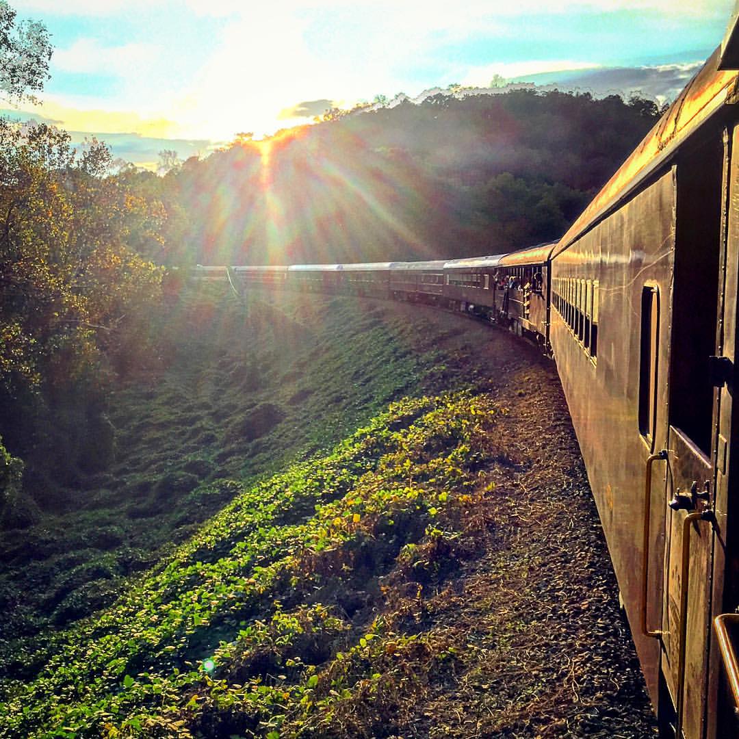
#sunset #train #northcarolina

Sunrise on the Appalachian Trail

Waiting for Sunrise on the AT
Gator Ridge Rd, Topton, NC アメリカ合衆国の地図
別の場所を検索
近所の場所
Gator Ridge Rd, Topton, NC アメリカ合衆国
Gator Ridge Rd, Topton, NC アメリカ合衆国
37 Gator Ridge Rd, Topton, NC アメリカ合衆国
Gator Ridge Rd, Topton, NC アメリカ合衆国
Hidden Creek Rd, Topton, NC アメリカ合衆国
Wayah Rd, North Carolina, アメリカ合衆国ワヤ・ロード
Snowbird Trail, Topton, NC アメリカ合衆国
Wayah Rd, Aquone, NC アメリカ合衆国
アメリカ合衆国 〒 ノース・カロライナ州 トップトン
アメリカ合衆国 〒 ノース・カロライナ州 アクォン
Long Branch Rd, Topton, NC アメリカ合衆国
Mt Tabor Rd, Topton, NC アメリカ合衆国
Cold Springs Creek Rd, Topton, NC アメリカ合衆国
Mt Tabor Rd, Topton, NC アメリカ合衆国
51 Poplar Ridge Way, Topton, NC アメリカ合衆国
Otter Creek Rd, Nantahala, NC アメリカ合衆国オッター・クリーク・ロード
Winding Stairs Rd, Topton, NC アメリカ合衆国
Lake Vista Cir, Topton, NC アメリカ合衆国Lake Vista Circle
Lake Vista Cir, Topton, NC アメリカ合衆国
アメリカ合衆国 ノース・カロライナ州 ナンタハラ
最近の検索
- アメリカ合衆国 アラスカ州 レッド・ドッグ・マイン日の出日の入り時間
- Am bhf, Borken, ドイツアム・バーンホーフ日の出日の入り時間
- 4th St E, Sonoma, CA, USA日の出日の入り時間
- Oakland Ave, Williamsport, PA アメリカ合衆国日の出日の入り時間
- Via Roma, Pieranica CR, イタリアローマ通り日の出日の入り時間
- クロアチア 〒 ドゥブロブニク GradClock Tower of Dubrovnik日の出日の入り時間
- アルゼンチン チュブ州 トレリュー日の出日の入り時間
- Hartfords Bluff Cir, Mt Pleasant, SC アメリカ合衆国日の出日の入り時間
- 日本、熊本県熊本市北区日の出日の入り時間
- 中華人民共和国 福州市 平潭県 平潭島日の出日の入り時間