アメリカ合衆国 モンタナ州 エルボー山日の出日の入り時間
Location: アメリカ合衆国 > モンタナ州 > ポンデラ >
時間帯:
America/Denver
現地時間:
2025-05-20 18:37:38
経度:
-113.1150762
緯度:
48.1769028
今日の日の出時刻:
05:44:57 AM
今日の日の入時刻:
09:13:17 PM
今日の日長:
15h 28m 20s
明日の日の出時刻:
05:43:56 AM
明日の日の入時刻:
09:14:28 PM
明日の日長:
15h 30m 32s
すべて表示する
| 日付 | 日出 | 日没 | 日長 |
|---|---|---|---|
| 2025年01月01日 | 08:22:47 AM | 04:50:31 PM | 8h 27m 44s |
| 2025年01月02日 | 08:22:40 AM | 04:51:33 PM | 8h 28m 53s |
| 2025年01月03日 | 08:22:30 AM | 04:52:38 PM | 8h 30m 8s |
| 2025年01月04日 | 08:22:17 AM | 04:53:44 PM | 8h 31m 27s |
| 2025年01月05日 | 08:22:02 AM | 04:54:52 PM | 8h 32m 50s |
| 2025年01月06日 | 08:21:43 AM | 04:56:02 PM | 8h 34m 19s |
| 2025年01月07日 | 08:21:22 AM | 04:57:14 PM | 8h 35m 52s |
| 2025年01月08日 | 08:20:57 AM | 04:58:28 PM | 8h 37m 31s |
| 2025年01月09日 | 08:20:30 AM | 04:59:44 PM | 8h 39m 14s |
| 2025年01月10日 | 08:20:00 AM | 05:01:01 PM | 8h 41m 1s |
| 2025年01月11日 | 08:19:28 AM | 05:02:20 PM | 8h 42m 52s |
| 2025年01月12日 | 08:18:52 AM | 05:03:40 PM | 8h 44m 48s |
| 2025年01月13日 | 08:18:14 AM | 05:05:02 PM | 8h 46m 48s |
| 2025年01月14日 | 08:17:33 AM | 05:06:25 PM | 8h 48m 52s |
| 2025年01月15日 | 08:16:50 AM | 05:07:49 PM | 8h 50m 59s |
| 2025年01月16日 | 08:16:04 AM | 05:09:14 PM | 8h 53m 10s |
| 2025年01月17日 | 08:15:15 AM | 05:10:41 PM | 8h 55m 26s |
| 2025年01月18日 | 08:14:24 AM | 05:12:09 PM | 8h 57m 45s |
| 2025年01月19日 | 08:13:31 AM | 05:13:37 PM | 9h 0m 6s |
| 2025年01月20日 | 08:12:35 AM | 05:15:07 PM | 9h 2m 32s |
| 2025年01月21日 | 08:11:36 AM | 05:16:37 PM | 9h 5m 1s |
| 2025年01月22日 | 08:10:35 AM | 05:18:09 PM | 9h 7m 34s |
| 2025年01月23日 | 08:09:32 AM | 05:19:41 PM | 9h 10m 9s |
| 2025年01月24日 | 08:08:27 AM | 05:21:13 PM | 9h 12m 46s |
| 2025年01月25日 | 08:07:20 AM | 05:22:46 PM | 9h 15m 26s |
| 2025年01月26日 | 08:06:10 AM | 05:24:20 PM | 9h 18m 10s |
| 2025年01月27日 | 08:04:58 AM | 05:25:55 PM | 9h 20m 57s |
| 2025年01月28日 | 08:03:44 AM | 05:27:29 PM | 9h 23m 45s |
| 2025年01月29日 | 08:02:28 AM | 05:29:04 PM | 9h 26m 36s |
| 2025年01月30日 | 08:01:11 AM | 05:30:40 PM | 9h 29m 29s |
| 2025年01月31日 | 07:59:51 AM | 05:32:16 PM | 9h 32m 25s |
| 2025年02月01日 | 07:58:29 AM | 05:33:52 PM | 9h 35m 23s |
| 2025年02月02日 | 07:57:06 AM | 05:35:28 PM | 9h 38m 22s |
| 2025年02月03日 | 07:55:40 AM | 05:37:04 PM | 9h 41m 24s |
| 2025年02月04日 | 07:54:13 AM | 05:38:41 PM | 9h 44m 28s |
| 2025年02月05日 | 07:52:44 AM | 05:40:18 PM | 9h 47m 34s |
| 2025年02月06日 | 07:51:14 AM | 05:41:54 PM | 9h 50m 40s |
| 2025年02月07日 | 07:49:42 AM | 05:43:31 PM | 9h 53m 49s |
| 2025年02月08日 | 07:48:08 AM | 05:45:08 PM | 9h 57m 0s |
| 2025年02月09日 | 07:46:33 AM | 05:46:44 PM | 10h 0m 11s |
| 2025年02月10日 | 07:44:57 AM | 05:48:21 PM | 10h 3m 24s |
| 2025年02月11日 | 07:43:19 AM | 05:49:57 PM | 10h 6m 38s |
| 2025年02月12日 | 07:41:40 AM | 05:51:34 PM | 10h 9m 54s |
| 2025年02月13日 | 07:39:59 AM | 05:53:10 PM | 10h 13m 11s |
| 2025年02月14日 | 07:38:17 AM | 05:54:46 PM | 10h 16m 29s |
| 2025年02月15日 | 07:36:34 AM | 05:56:22 PM | 10h 19m 48s |
| 2025年02月16日 | 07:34:49 AM | 05:57:58 PM | 10h 23m 9s |
| 2025年02月17日 | 07:33:04 AM | 05:59:33 PM | 10h 26m 29s |
| 2025年02月18日 | 07:31:17 AM | 06:01:08 PM | 10h 29m 51s |
| 2025年02月19日 | 07:29:29 AM | 06:02:44 PM | 10h 33m 15s |
| 2025年02月20日 | 07:27:40 AM | 06:04:18 PM | 10h 36m 38s |
| 2025年02月21日 | 07:25:50 AM | 06:05:53 PM | 10h 40m 3s |
| 2025年02月22日 | 07:23:59 AM | 06:07:27 PM | 10h 43m 28s |
| 2025年02月23日 | 07:22:07 AM | 06:09:01 PM | 10h 46m 54s |
| 2025年02月24日 | 07:20:15 AM | 06:10:35 PM | 10h 50m 20s |
| 2025年02月25日 | 07:18:21 AM | 06:12:09 PM | 10h 53m 48s |
| 2025年02月26日 | 07:16:27 AM | 06:13:42 PM | 10h 57m 15s |
| 2025年02月27日 | 07:14:32 AM | 06:15:15 PM | 11h 0m 43s |
| 2025年02月28日 | 07:12:36 AM | 06:16:47 PM | 11h 4m 11s |
| 2025年03月01日 | 07:10:39 AM | 06:18:20 PM | 11h 7m 41s |
| 2025年03月02日 | 07:08:42 AM | 06:19:52 PM | 11h 11m 10s |
| 2025年03月03日 | 07:06:44 AM | 06:21:24 PM | 11h 14m 40s |
| 2025年03月04日 | 07:04:45 AM | 06:22:55 PM | 11h 18m 10s |
| 2025年03月05日 | 07:02:46 AM | 06:24:27 PM | 11h 21m 41s |
| 2025年03月06日 | 07:00:46 AM | 06:25:58 PM | 11h 25m 12s |
| 2025年03月07日 | 06:58:46 AM | 06:27:28 PM | 11h 28m 42s |
| 2025年03月08日 | 06:56:45 AM | 06:28:59 PM | 11h 32m 14s |
| 2025年03月09日 | 07:54:49 AM | 07:30:25 PM | 11h 35m 36s |
| 2025年03月10日 | 07:52:48 AM | 07:31:55 PM | 11h 39m 7s |
| 2025年03月11日 | 07:50:46 AM | 07:33:25 PM | 11h 42m 39s |
| 2025年03月12日 | 07:48:44 AM | 07:34:55 PM | 11h 46m 11s |
| 2025年03月13日 | 07:46:41 AM | 07:36:24 PM | 11h 49m 43s |
| 2025年03月14日 | 07:44:39 AM | 07:37:53 PM | 11h 53m 14s |
| 2025年03月15日 | 07:42:35 AM | 07:39:22 PM | 11h 56m 47s |
| 2025年03月16日 | 07:40:32 AM | 07:40:51 PM | 12h 0m 19s |
| 2025年03月17日 | 07:38:29 AM | 07:42:20 PM | 12h 3m 51s |
| 2025年03月18日 | 07:36:25 AM | 07:43:48 PM | 12h 7m 23s |
| 2025年03月19日 | 07:34:22 AM | 07:45:17 PM | 12h 10m 55s |
| 2025年03月20日 | 07:32:18 AM | 07:46:45 PM | 12h 14m 27s |
| 2025年03月21日 | 07:30:14 AM | 07:48:13 PM | 12h 17m 59s |
| 2025年03月22日 | 07:28:10 AM | 07:49:41 PM | 12h 21m 31s |
| 2025年03月23日 | 07:26:06 AM | 07:51:08 PM | 12h 25m 2s |
| 2025年03月24日 | 07:24:02 AM | 07:52:36 PM | 12h 28m 34s |
| 2025年03月25日 | 07:21:58 AM | 07:54:04 PM | 12h 32m 6s |
| 2025年03月26日 | 07:19:55 AM | 07:55:31 PM | 12h 35m 36s |
| 2025年03月27日 | 07:17:51 AM | 07:56:59 PM | 12h 39m 8s |
| 2025年03月28日 | 07:15:48 AM | 07:58:26 PM | 12h 42m 38s |
| 2025年03月29日 | 07:13:45 AM | 07:59:53 PM | 12h 46m 8s |
| 2025年03月30日 | 07:11:42 AM | 08:01:20 PM | 12h 49m 38s |
| 2025年03月31日 | 07:09:39 AM | 08:02:47 PM | 12h 53m 8s |
| 2025年04月01日 | 07:07:36 AM | 08:04:15 PM | 12h 56m 39s |
| 2025年04月02日 | 07:05:34 AM | 08:05:42 PM | 13h 0m 8s |
| 2025年04月03日 | 07:03:32 AM | 08:07:09 PM | 13h 3m 37s |
| 2025年04月04日 | 07:01:31 AM | 08:08:36 PM | 13h 7m 5s |
| 2025年04月05日 | 06:59:30 AM | 08:10:03 PM | 13h 10m 33s |
| 2025年04月06日 | 06:57:29 AM | 08:11:30 PM | 13h 14m 1s |
| 2025年04月07日 | 06:55:29 AM | 08:12:56 PM | 13h 17m 27s |
| 2025年04月08日 | 06:53:30 AM | 08:14:23 PM | 13h 20m 53s |
| 2025年04月09日 | 06:51:31 AM | 08:15:50 PM | 13h 24m 19s |
| 2025年04月10日 | 06:49:32 AM | 08:17:17 PM | 13h 27m 45s |
| 2025年04月11日 | 06:47:34 AM | 08:18:44 PM | 13h 31m 10s |
| 2025年04月12日 | 06:45:37 AM | 08:20:11 PM | 13h 34m 34s |
| 2025年04月13日 | 06:43:41 AM | 08:21:38 PM | 13h 37m 57s |
| 2025年04月14日 | 06:41:45 AM | 08:23:05 PM | 13h 41m 20s |
| 2025年04月15日 | 06:39:50 AM | 08:24:32 PM | 13h 44m 42s |
| 2025年04月16日 | 06:37:55 AM | 08:25:58 PM | 13h 48m 3s |
| 2025年04月17日 | 06:36:02 AM | 08:27:25 PM | 13h 51m 23s |
| 2025年04月18日 | 06:34:09 AM | 08:28:52 PM | 13h 54m 43s |
| 2025年04月19日 | 06:32:17 AM | 08:30:19 PM | 13h 58m 2s |
| 2025年04月20日 | 06:30:27 AM | 08:31:45 PM | 14h 1m 18s |
| 2025年04月21日 | 06:28:37 AM | 08:33:12 PM | 14h 4m 35s |
| 2025年04月22日 | 06:26:48 AM | 08:34:38 PM | 14h 7m 50s |
| 2025年04月23日 | 06:25:00 AM | 08:36:05 PM | 14h 11m 5s |
| 2025年04月24日 | 06:23:13 AM | 08:37:31 PM | 14h 14m 18s |
| 2025年04月25日 | 06:21:28 AM | 08:38:57 PM | 14h 17m 29s |
| 2025年04月26日 | 06:19:43 AM | 08:40:23 PM | 14h 20m 40s |
| 2025年04月27日 | 06:18:00 AM | 08:41:49 PM | 14h 23m 49s |
| 2025年04月28日 | 06:16:18 AM | 08:43:15 PM | 14h 26m 57s |
| 2025年04月29日 | 06:14:37 AM | 08:44:40 PM | 14h 30m 3s |
| 2025年04月30日 | 06:12:57 AM | 08:46:05 PM | 14h 33m 8s |
| 2025年05月01日 | 06:11:19 AM | 08:47:30 PM | 14h 36m 11s |
| 2025年05月02日 | 06:09:42 AM | 08:48:55 PM | 14h 39m 13s |
| 2025年05月03日 | 06:08:07 AM | 08:50:19 PM | 14h 42m 12s |
| 2025年05月04日 | 06:06:33 AM | 08:51:43 PM | 14h 45m 10s |
| 2025年05月05日 | 06:05:01 AM | 08:53:07 PM | 14h 48m 6s |
| 2025年05月06日 | 06:03:30 AM | 08:54:30 PM | 14h 51m 0s |
| 2025年05月07日 | 06:02:00 AM | 08:55:52 PM | 14h 53m 52s |
| 2025年05月08日 | 06:00:33 AM | 08:57:15 PM | 14h 56m 42s |
| 2025年05月09日 | 05:59:07 AM | 08:58:36 PM | 14h 59m 29s |
| 2025年05月10日 | 05:57:43 AM | 08:59:57 PM | 15h 2m 14s |
| 2025年05月11日 | 05:56:20 AM | 09:01:18 PM | 15h 4m 58s |
| 2025年05月12日 | 05:54:59 AM | 09:02:38 PM | 15h 7m 39s |
| 2025年05月13日 | 05:53:41 AM | 09:03:57 PM | 15h 10m 16s |
| 2025年05月14日 | 05:52:24 AM | 09:05:15 PM | 15h 12m 51s |
| 2025年05月15日 | 05:51:09 AM | 09:06:33 PM | 15h 15m 24s |
| 2025年05月16日 | 05:49:56 AM | 09:07:49 PM | 15h 17m 53s |
| 2025年05月17日 | 05:48:44 AM | 09:09:05 PM | 15h 20m 21s |
| 2025年05月18日 | 05:47:35 AM | 09:10:20 PM | 15h 22m 45s |
| 2025年05月19日 | 05:46:29 AM | 09:11:34 PM | 15h 25m 5s |
| 2025年05月20日 | 05:45:24 AM | 09:12:47 PM | 15h 27m 23s |
| 2025年05月21日 | 05:44:21 AM | 09:13:59 PM | 15h 29m 38s |
| 2025年05月22日 | 05:43:21 AM | 09:15:09 PM | 15h 31m 48s |
| 2025年05月23日 | 05:42:22 AM | 09:16:18 PM | 15h 33m 56s |
| 2025年05月24日 | 05:41:27 AM | 09:17:26 PM | 15h 35m 59s |
| 2025年05月25日 | 05:40:33 AM | 09:18:33 PM | 15h 38m 0s |
| 2025年05月26日 | 05:39:42 AM | 09:19:39 PM | 15h 39m 57s |
| 2025年05月27日 | 05:38:53 AM | 09:20:42 PM | 15h 41m 49s |
| 2025年05月28日 | 05:38:06 AM | 09:21:45 PM | 15h 43m 39s |
| 2025年05月29日 | 05:37:22 AM | 09:22:46 PM | 15h 45m 24s |
| 2025年05月30日 | 05:36:41 AM | 09:23:45 PM | 15h 47m 4s |
| 2025年05月31日 | 05:36:01 AM | 09:24:42 PM | 15h 48m 41s |
| 2025年06月01日 | 05:35:25 AM | 09:25:38 PM | 15h 50m 13s |
| 2025年06月02日 | 05:34:51 AM | 09:26:32 PM | 15h 51m 41s |
| 2025年06月03日 | 05:34:19 AM | 09:27:24 PM | 15h 53m 5s |
| 2025年06月04日 | 05:33:50 AM | 09:28:14 PM | 15h 54m 24s |
| 2025年06月05日 | 05:33:24 AM | 09:29:02 PM | 15h 55m 38s |
| 2025年06月06日 | 05:33:00 AM | 09:29:49 PM | 15h 56m 49s |
| 2025年06月07日 | 05:32:39 AM | 09:30:33 PM | 15h 57m 54s |
| 2025年06月08日 | 05:32:21 AM | 09:31:15 PM | 15h 58m 54s |
| 2025年06月09日 | 05:32:05 AM | 09:31:55 PM | 15h 59m 50s |
| 2025年06月10日 | 05:31:52 AM | 09:32:32 PM | 16h 0m 40s |
| 2025年06月11日 | 05:31:41 AM | 09:33:08 PM | 16h 1m 27s |
| 2025年06月12日 | 05:31:33 AM | 09:33:41 PM | 16h 2m 8s |
| 2025年06月13日 | 05:31:28 AM | 09:34:11 PM | 16h 2m 43s |
| 2025年06月14日 | 05:31:26 AM | 09:34:39 PM | 16h 3m 13s |
| 2025年06月15日 | 05:31:26 AM | 09:35:05 PM | 16h 3m 39s |
| 2025年06月16日 | 05:31:28 AM | 09:35:29 PM | 16h 4m 1s |
| 2025年06月17日 | 05:31:33 AM | 09:35:49 PM | 16h 4m 16s |
| 2025年06月18日 | 05:31:41 AM | 09:36:08 PM | 16h 4m 27s |
| 2025年06月19日 | 05:31:52 AM | 09:36:24 PM | 16h 4m 32s |
| 2025年06月20日 | 05:32:05 AM | 09:36:37 PM | 16h 4m 32s |
| 2025年06月21日 | 05:32:20 AM | 09:36:47 PM | 16h 4m 27s |
| 2025年06月22日 | 05:32:38 AM | 09:36:55 PM | 16h 4m 17s |
| 2025年06月23日 | 05:32:59 AM | 09:37:00 PM | 16h 4m 1s |
| 2025年06月24日 | 05:33:22 AM | 09:37:03 PM | 16h 3m 41s |
| 2025年06月25日 | 05:33:47 AM | 09:37:03 PM | 16h 3m 16s |
| 2025年06月26日 | 05:34:15 AM | 09:37:00 PM | 16h 2m 45s |
| 2025年06月27日 | 05:34:45 AM | 09:36:55 PM | 16h 2m 10s |
| 2025年06月28日 | 05:35:17 AM | 09:36:47 PM | 16h 1m 30s |
| 2025年06月29日 | 05:35:51 AM | 09:36:36 PM | 16h 0m 45s |
| 2025年06月30日 | 05:36:28 AM | 09:36:22 PM | 15h 59m 54s |
| 2025年07月01日 | 05:37:07 AM | 09:36:06 PM | 15h 58m 59s |
| 2025年07月02日 | 05:37:48 AM | 09:35:47 PM | 15h 57m 59s |
| 2025年07月03日 | 05:38:31 AM | 09:35:26 PM | 15h 56m 55s |
| 2025年07月04日 | 05:39:16 AM | 09:35:01 PM | 15h 55m 45s |
| 2025年07月05日 | 05:40:03 AM | 09:34:34 PM | 15h 54m 31s |
| 2025年07月06日 | 05:40:51 AM | 09:34:05 PM | 15h 53m 14s |
| 2025年07月07日 | 05:41:42 AM | 09:33:33 PM | 15h 51m 51s |
| 2025年07月08日 | 05:42:35 AM | 09:32:58 PM | 15h 50m 23s |
| 2025年07月09日 | 05:43:29 AM | 09:32:21 PM | 15h 48m 52s |
| 2025年07月10日 | 05:44:24 AM | 09:31:41 PM | 15h 47m 17s |
| 2025年07月11日 | 05:45:22 AM | 09:30:59 PM | 15h 45m 37s |
| 2025年07月12日 | 05:46:21 AM | 09:30:14 PM | 15h 43m 53s |
| 2025年07月13日 | 05:47:21 AM | 09:29:27 PM | 15h 42m 6s |
| 2025年07月14日 | 05:48:23 AM | 09:28:37 PM | 15h 40m 14s |
| 2025年07月15日 | 05:49:26 AM | 09:27:45 PM | 15h 38m 19s |
| 2025年07月16日 | 05:50:31 AM | 09:26:50 PM | 15h 36m 19s |
| 2025年07月17日 | 05:51:37 AM | 09:25:54 PM | 15h 34m 17s |
| 2025年07月18日 | 05:52:44 AM | 09:24:55 PM | 15h 32m 11s |
| 2025年07月19日 | 05:53:52 AM | 09:23:53 PM | 15h 30m 1s |
| 2025年07月20日 | 05:55:01 AM | 09:22:50 PM | 15h 27m 49s |
| 2025年07月21日 | 05:56:11 AM | 09:21:44 PM | 15h 25m 33s |
| 2025年07月22日 | 05:57:22 AM | 09:20:36 PM | 15h 23m 14s |
| 2025年07月23日 | 05:58:35 AM | 09:19:26 PM | 15h 20m 51s |
| 2025年07月24日 | 05:59:48 AM | 09:18:14 PM | 15h 18m 26s |
| 2025年07月25日 | 06:01:01 AM | 09:17:00 PM | 15h 15m 59s |
| 2025年07月26日 | 06:02:16 AM | 09:15:44 PM | 15h 13m 28s |
| 2025年07月27日 | 06:03:31 AM | 09:14:26 PM | 15h 10m 55s |
| 2025年07月28日 | 06:04:47 AM | 09:13:06 PM | 15h 8m 19s |
| 2025年07月29日 | 06:06:04 AM | 09:11:45 PM | 15h 5m 41s |
| 2025年07月30日 | 06:07:21 AM | 09:10:21 PM | 15h 3m 0s |
| 2025年07月31日 | 06:08:39 AM | 09:08:56 PM | 15h 0m 17s |
| 2025年08月01日 | 06:09:57 AM | 09:07:29 PM | 14h 57m 32s |
| 2025年08月02日 | 06:11:16 AM | 09:06:00 PM | 14h 54m 44s |
| 2025年08月03日 | 06:12:36 AM | 09:04:30 PM | 14h 51m 54s |
| 2025年08月04日 | 06:13:55 AM | 09:02:58 PM | 14h 49m 3s |
| 2025年08月05日 | 06:15:15 AM | 09:01:25 PM | 14h 46m 10s |
| 2025年08月06日 | 06:16:35 AM | 08:59:50 PM | 14h 43m 15s |
| 2025年08月07日 | 06:17:56 AM | 08:58:13 PM | 14h 40m 17s |
| 2025年08月08日 | 06:19:17 AM | 08:56:35 PM | 14h 37m 18s |
| 2025年08月09日 | 06:20:38 AM | 08:54:56 PM | 14h 34m 18s |
| 2025年08月10日 | 06:21:59 AM | 08:53:16 PM | 14h 31m 17s |
| 2025年08月11日 | 06:23:21 AM | 08:51:34 PM | 14h 28m 13s |
| 2025年08月12日 | 06:24:43 AM | 08:49:50 PM | 14h 25m 7s |
| 2025年08月13日 | 06:26:04 AM | 08:48:06 PM | 14h 22m 2s |
| 2025年08月14日 | 06:27:26 AM | 08:46:20 PM | 14h 18m 54s |
| 2025年08月15日 | 06:28:48 AM | 08:44:34 PM | 14h 15m 46s |
| 2025年08月16日 | 06:30:11 AM | 08:42:46 PM | 14h 12m 35s |
| 2025年08月17日 | 06:31:33 AM | 08:40:57 PM | 14h 9m 24s |
| 2025年08月18日 | 06:32:55 AM | 08:39:07 PM | 14h 6m 12s |
| 2025年08月19日 | 06:34:17 AM | 08:37:16 PM | 14h 2m 59s |
| 2025年08月20日 | 06:35:40 AM | 08:35:24 PM | 13h 59m 44s |
| 2025年08月21日 | 06:37:02 AM | 08:33:31 PM | 13h 56m 29s |
| 2025年08月22日 | 06:38:24 AM | 08:31:37 PM | 13h 53m 13s |
| 2025年08月23日 | 06:39:47 AM | 08:29:42 PM | 13h 49m 55s |
| 2025年08月24日 | 06:41:09 AM | 08:27:46 PM | 13h 46m 37s |
| 2025年08月25日 | 06:42:32 AM | 08:25:50 PM | 13h 43m 18s |
| 2025年08月26日 | 06:43:54 AM | 08:23:53 PM | 13h 39m 59s |
| 2025年08月27日 | 06:45:16 AM | 08:21:55 PM | 13h 36m 39s |
| 2025年08月28日 | 06:46:39 AM | 08:19:57 PM | 13h 33m 18s |
| 2025年08月29日 | 06:48:01 AM | 08:17:58 PM | 13h 29m 57s |
| 2025年08月30日 | 06:49:23 AM | 08:15:58 PM | 13h 26m 35s |
| 2025年08月31日 | 06:50:45 AM | 08:13:58 PM | 13h 23m 13s |
| 2025年09月01日 | 06:52:08 AM | 08:11:57 PM | 13h 19m 49s |
| 2025年09月02日 | 06:53:30 AM | 08:09:55 PM | 13h 16m 25s |
| 2025年09月03日 | 06:54:52 AM | 08:07:53 PM | 13h 13m 1s |
| 2025年09月04日 | 06:56:14 AM | 08:05:51 PM | 13h 9m 37s |
| 2025年09月05日 | 06:57:37 AM | 08:03:48 PM | 13h 6m 11s |
| 2025年09月06日 | 06:58:59 AM | 08:01:45 PM | 13h 2m 46s |
| 2025年09月07日 | 07:00:21 AM | 07:59:41 PM | 12h 59m 20s |
| 2025年09月08日 | 07:01:43 AM | 07:57:37 PM | 12h 55m 54s |
| 2025年09月09日 | 07:03:05 AM | 07:55:33 PM | 12h 52m 28s |
| 2025年09月10日 | 07:04:28 AM | 07:53:29 PM | 12h 49m 1s |
| 2025年09月11日 | 07:05:50 AM | 07:51:24 PM | 12h 45m 34s |
| 2025年09月12日 | 07:07:12 AM | 07:49:19 PM | 12h 42m 7s |
| 2025年09月13日 | 07:08:35 AM | 07:47:14 PM | 12h 38m 39s |
| 2025年09月14日 | 07:09:57 AM | 07:45:08 PM | 12h 35m 11s |
| 2025年09月15日 | 07:11:20 AM | 07:43:03 PM | 12h 31m 43s |
| 2025年09月16日 | 07:12:42 AM | 07:40:57 PM | 12h 28m 15s |
| 2025年09月17日 | 07:14:05 AM | 07:38:52 PM | 12h 24m 47s |
| 2025年09月18日 | 07:15:28 AM | 07:36:46 PM | 12h 21m 18s |
| 2025年09月19日 | 07:16:51 AM | 07:34:41 PM | 12h 17m 50s |
| 2025年09月20日 | 07:18:14 AM | 07:32:35 PM | 12h 14m 21s |
| 2025年09月21日 | 07:19:37 AM | 07:30:29 PM | 12h 10m 52s |
| 2025年09月22日 | 07:21:00 AM | 07:28:24 PM | 12h 7m 24s |
| 2025年09月23日 | 07:22:24 AM | 07:26:19 PM | 12h 3m 55s |
| 2025年09月24日 | 07:23:47 AM | 07:24:14 PM | 12h 0m 27s |
| 2025年09月25日 | 07:25:11 AM | 07:22:09 PM | 11h 56m 58s |
| 2025年09月26日 | 07:26:35 AM | 07:20:04 PM | 11h 53m 29s |
| 2025年09月27日 | 07:27:59 AM | 07:17:59 PM | 11h 50m 0s |
| 2025年09月28日 | 07:29:24 AM | 07:15:55 PM | 11h 46m 31s |
| 2025年09月29日 | 07:30:48 AM | 07:13:51 PM | 11h 43m 3s |
| 2025年09月30日 | 07:32:13 AM | 07:11:47 PM | 11h 39m 34s |
| 2025年10月01日 | 07:33:38 AM | 07:09:44 PM | 11h 36m 6s |
| 2025年10月02日 | 07:35:04 AM | 07:07:41 PM | 11h 32m 37s |
| 2025年10月03日 | 07:36:29 AM | 07:05:39 PM | 11h 29m 10s |
| 2025年10月04日 | 07:37:55 AM | 07:03:37 PM | 11h 25m 42s |
| 2025年10月05日 | 07:39:21 AM | 07:01:35 PM | 11h 22m 14s |
| 2025年10月06日 | 07:40:48 AM | 06:59:34 PM | 11h 18m 46s |
| 2025年10月07日 | 07:42:14 AM | 06:57:34 PM | 11h 15m 20s |
| 2025年10月08日 | 07:43:41 AM | 06:55:34 PM | 11h 11m 53s |
| 2025年10月09日 | 07:45:09 AM | 06:53:35 PM | 11h 8m 26s |
| 2025年10月10日 | 07:46:36 AM | 06:51:36 PM | 11h 5m 0s |
| 2025年10月11日 | 07:48:04 AM | 06:49:38 PM | 11h 1m 34s |
| 2025年10月12日 | 07:49:32 AM | 06:47:41 PM | 10h 58m 9s |
| 2025年10月13日 | 07:51:00 AM | 06:45:45 PM | 10h 54m 45s |
| 2025年10月14日 | 07:52:29 AM | 06:43:49 PM | 10h 51m 20s |
| 2025年10月15日 | 07:53:58 AM | 06:41:55 PM | 10h 47m 57s |
| 2025年10月16日 | 07:55:28 AM | 06:40:01 PM | 10h 44m 33s |
| 2025年10月17日 | 07:56:57 AM | 06:38:08 PM | 10h 41m 11s |
| 2025年10月18日 | 07:58:27 AM | 06:36:16 PM | 10h 37m 49s |
| 2025年10月19日 | 07:59:57 AM | 06:34:25 PM | 10h 34m 28s |
| 2025年10月20日 | 08:01:28 AM | 06:32:35 PM | 10h 31m 7s |
| 2025年10月21日 | 08:02:59 AM | 06:30:46 PM | 10h 27m 47s |
| 2025年10月22日 | 08:04:30 AM | 06:28:58 PM | 10h 24m 28s |
| 2025年10月23日 | 08:06:01 AM | 06:27:12 PM | 10h 21m 11s |
| 2025年10月24日 | 08:07:33 AM | 06:25:26 PM | 10h 17m 53s |
| 2025年10月25日 | 08:09:04 AM | 06:23:42 PM | 10h 14m 38s |
| 2025年10月26日 | 08:10:36 AM | 06:21:59 PM | 10h 11m 23s |
| 2025年10月27日 | 08:12:08 AM | 06:20:17 PM | 10h 8m 9s |
| 2025年10月28日 | 08:13:41 AM | 06:18:37 PM | 10h 4m 56s |
| 2025年10月29日 | 08:15:13 AM | 06:16:58 PM | 10h 1m 45s |
| 2025年10月30日 | 08:16:46 AM | 06:15:20 PM | 9h 58m 34s |
| 2025年10月31日 | 08:18:19 AM | 06:13:44 PM | 9h 55m 25s |
| 2025年11月01日 | 08:19:51 AM | 06:12:10 PM | 9h 52m 19s |
| 2025年11月02日 | 07:21:28 AM | 05:10:33 PM | 9h 49m 5s |
| 2025年11月03日 | 07:23:01 AM | 05:09:02 PM | 9h 46m 1s |
| 2025年11月04日 | 07:24:34 AM | 05:07:32 PM | 9h 42m 58s |
| 2025年11月05日 | 07:26:07 AM | 05:06:05 PM | 9h 39m 58s |
| 2025年11月06日 | 07:27:39 AM | 05:04:38 PM | 9h 36m 59s |
| 2025年11月07日 | 07:29:12 AM | 05:03:14 PM | 9h 34m 2s |
| 2025年11月08日 | 07:30:45 AM | 05:01:52 PM | 9h 31m 7s |
| 2025年11月09日 | 07:32:17 AM | 05:00:31 PM | 9h 28m 14s |
| 2025年11月10日 | 07:33:49 AM | 04:59:13 PM | 9h 25m 24s |
| 2025年11月11日 | 07:35:21 AM | 04:57:56 PM | 9h 22m 35s |
| 2025年11月12日 | 07:36:52 AM | 04:56:41 PM | 9h 19m 49s |
| 2025年11月13日 | 07:38:23 AM | 04:55:29 PM | 9h 17m 6s |
| 2025年11月14日 | 07:39:54 AM | 04:54:18 PM | 9h 14m 24s |
| 2025年11月15日 | 07:41:24 AM | 04:53:10 PM | 9h 11m 46s |
| 2025年11月16日 | 07:42:53 AM | 04:52:04 PM | 9h 9m 11s |
| 2025年11月17日 | 07:44:22 AM | 04:51:01 PM | 9h 6m 39s |
| 2025年11月18日 | 07:45:50 AM | 04:49:59 PM | 9h 4m 9s |
| 2025年11月19日 | 07:47:18 AM | 04:49:00 PM | 9h 1m 42s |
| 2025年11月20日 | 07:48:45 AM | 04:48:04 PM | 8h 59m 19s |
| 2025年11月21日 | 07:50:10 AM | 04:47:09 PM | 8h 56m 59s |
| 2025年11月22日 | 07:51:35 AM | 04:46:18 PM | 8h 54m 43s |
| 2025年11月23日 | 07:52:59 AM | 04:45:29 PM | 8h 52m 30s |
| 2025年11月24日 | 07:54:22 AM | 04:44:42 PM | 8h 50m 20s |
| 2025年11月25日 | 07:55:44 AM | 04:43:58 PM | 8h 48m 14s |
| 2025年11月26日 | 07:57:04 AM | 04:43:17 PM | 8h 46m 13s |
| 2025年11月27日 | 07:58:24 AM | 04:42:38 PM | 8h 44m 14s |
| 2025年11月28日 | 07:59:42 AM | 04:42:02 PM | 8h 42m 20s |
| 2025年11月29日 | 08:00:58 AM | 04:41:29 PM | 8h 40m 31s |
| 2025年11月30日 | 08:02:13 AM | 04:40:59 PM | 8h 38m 46s |
| 2025年12月01日 | 08:03:27 AM | 04:40:32 PM | 8h 37m 5s |
| 2025年12月02日 | 08:04:39 AM | 04:40:07 PM | 8h 35m 28s |
| 2025年12月03日 | 08:05:49 AM | 04:39:45 PM | 8h 33m 56s |
| 2025年12月04日 | 08:06:57 AM | 04:39:26 PM | 8h 32m 29s |
| 2025年12月05日 | 08:08:04 AM | 04:39:11 PM | 8h 31m 7s |
| 2025年12月06日 | 08:09:08 AM | 04:38:58 PM | 8h 29m 50s |
| 2025年12月07日 | 08:10:11 AM | 04:38:48 PM | 8h 28m 37s |
| 2025年12月08日 | 08:11:12 AM | 04:38:41 PM | 8h 27m 29s |
| 2025年12月09日 | 08:12:10 AM | 04:38:36 PM | 8h 26m 26s |
| 2025年12月10日 | 08:13:06 AM | 04:38:35 PM | 8h 25m 29s |
| 2025年12月11日 | 08:14:00 AM | 04:38:37 PM | 8h 24m 37s |
| 2025年12月12日 | 08:14:52 AM | 04:38:42 PM | 8h 23m 50s |
| 2025年12月13日 | 08:15:41 AM | 04:38:50 PM | 8h 23m 9s |
| 2025年12月14日 | 08:16:28 AM | 04:39:01 PM | 8h 22m 33s |
| 2025年12月15日 | 08:17:12 AM | 04:39:15 PM | 8h 22m 3s |
| 2025年12月16日 | 08:17:54 AM | 04:39:32 PM | 8h 21m 38s |
| 2025年12月17日 | 08:18:34 AM | 04:39:51 PM | 8h 21m 17s |
| 2025年12月18日 | 08:19:10 AM | 04:40:14 PM | 8h 21m 4s |
| 2025年12月19日 | 08:19:44 AM | 04:40:39 PM | 8h 20m 55s |
| 2025年12月20日 | 08:20:15 AM | 04:41:08 PM | 8h 20m 53s |
| 2025年12月21日 | 08:20:44 AM | 04:41:39 PM | 8h 20m 55s |
| 2025年12月22日 | 08:21:10 AM | 04:42:13 PM | 8h 21m 3s |
| 2025年12月23日 | 08:21:32 AM | 04:42:50 PM | 8h 21m 18s |
| 2025年12月24日 | 08:21:52 AM | 04:43:29 PM | 8h 21m 37s |
| 2025年12月25日 | 08:22:10 AM | 04:44:11 PM | 8h 22m 1s |
| 2025年12月26日 | 08:22:24 AM | 04:44:56 PM | 8h 22m 32s |
| 2025年12月27日 | 08:22:35 AM | 04:45:43 PM | 8h 23m 8s |
| 2025年12月28日 | 08:22:44 AM | 04:46:33 PM | 8h 23m 49s |
| 2025年12月29日 | 08:22:49 AM | 04:47:25 PM | 8h 24m 36s |
| 2025年12月30日 | 08:22:52 AM | 04:48:20 PM | 8h 25m 28s |
| 2025年12月31日 | 08:22:51 AM | 04:49:17 PM | 8h 26m 26s |
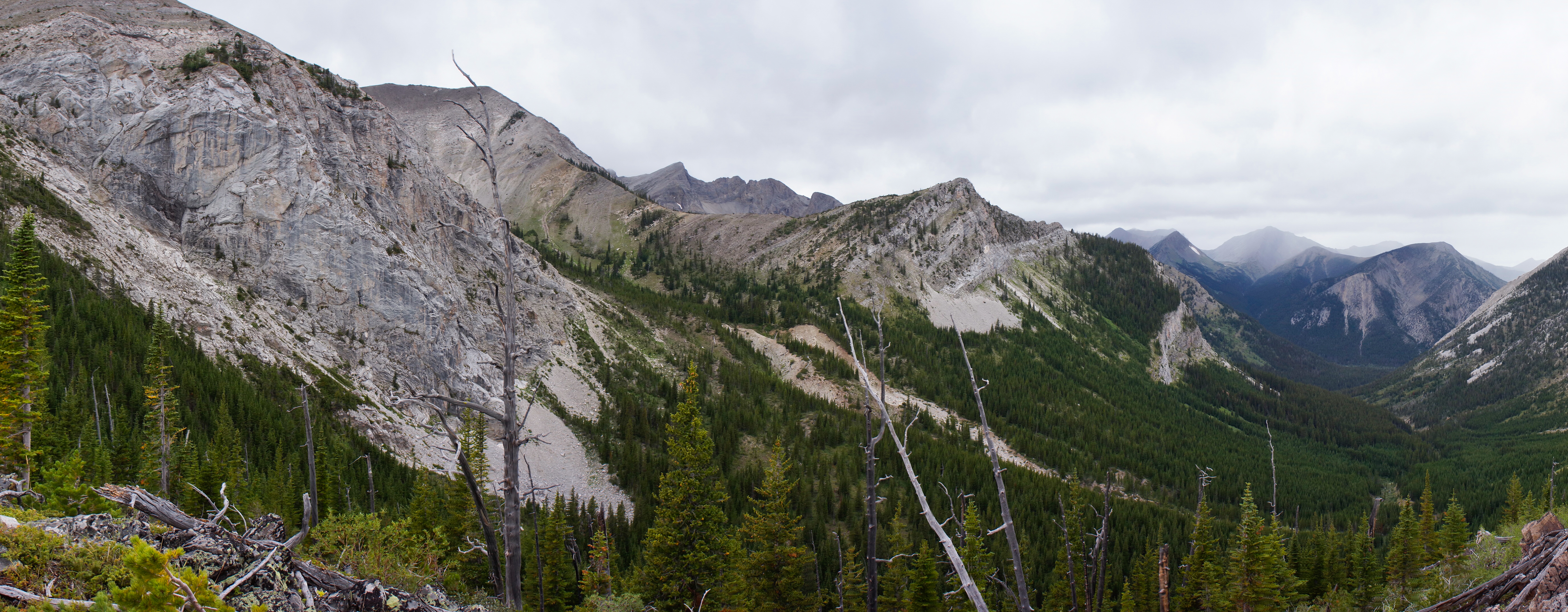
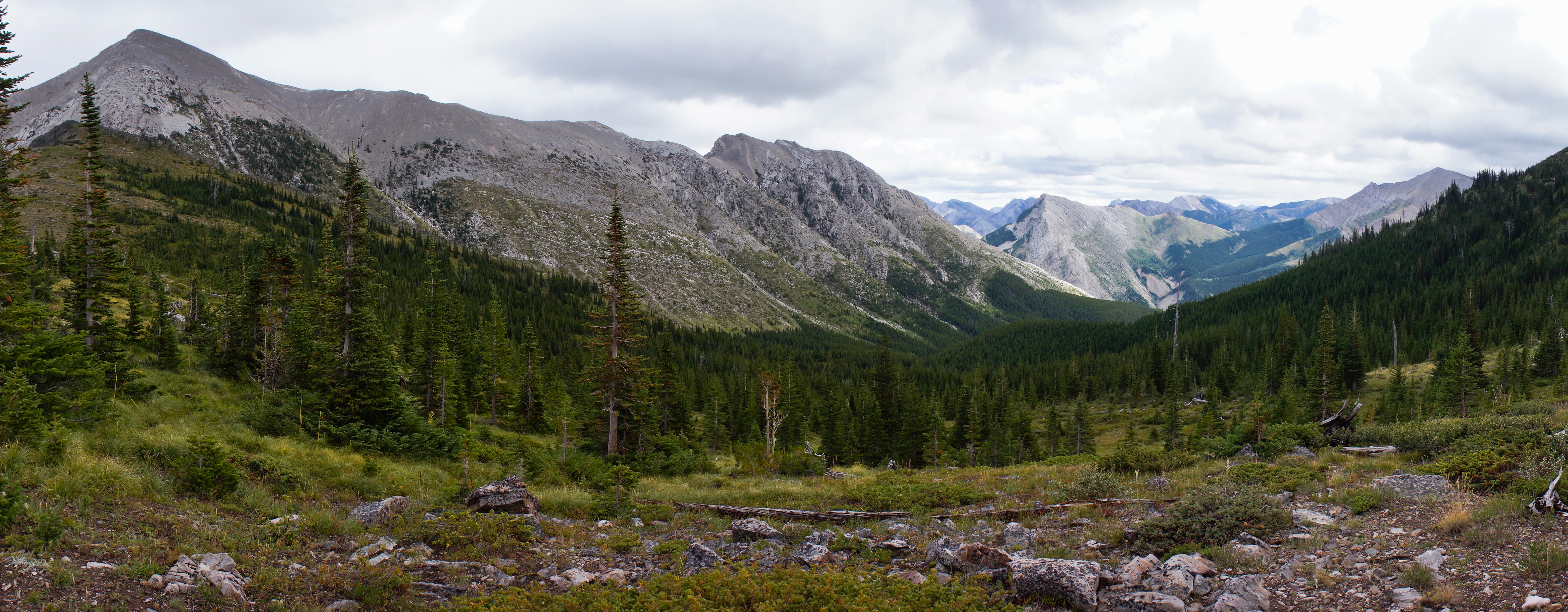
写真
Sunset and Mount Richmond

Sunset in the North Fork Birch Creek Valley
Rainbow from Middle Fork Birch Creek Camp
Middle Fork Birch Creek Camp
Blind Creek Drainage
Blind Creek Drainage
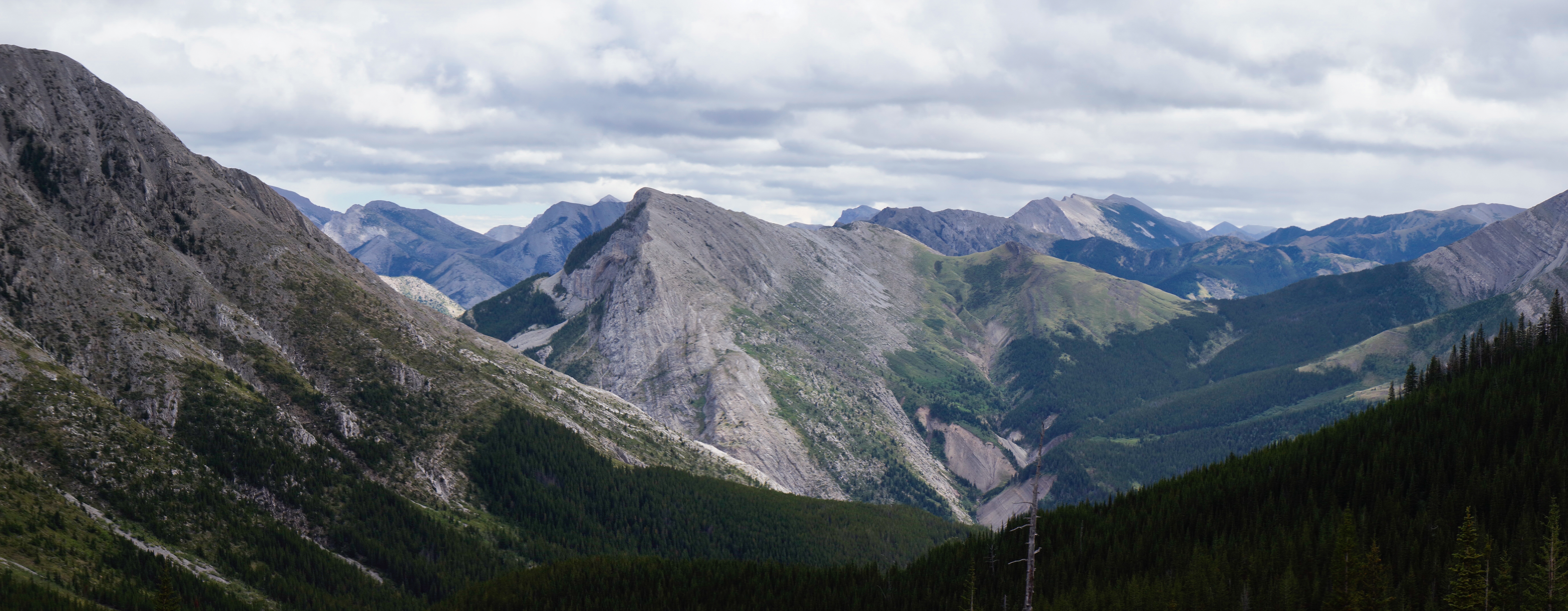
South from Blind-Tubby Pass
Tubby Creek Drainage
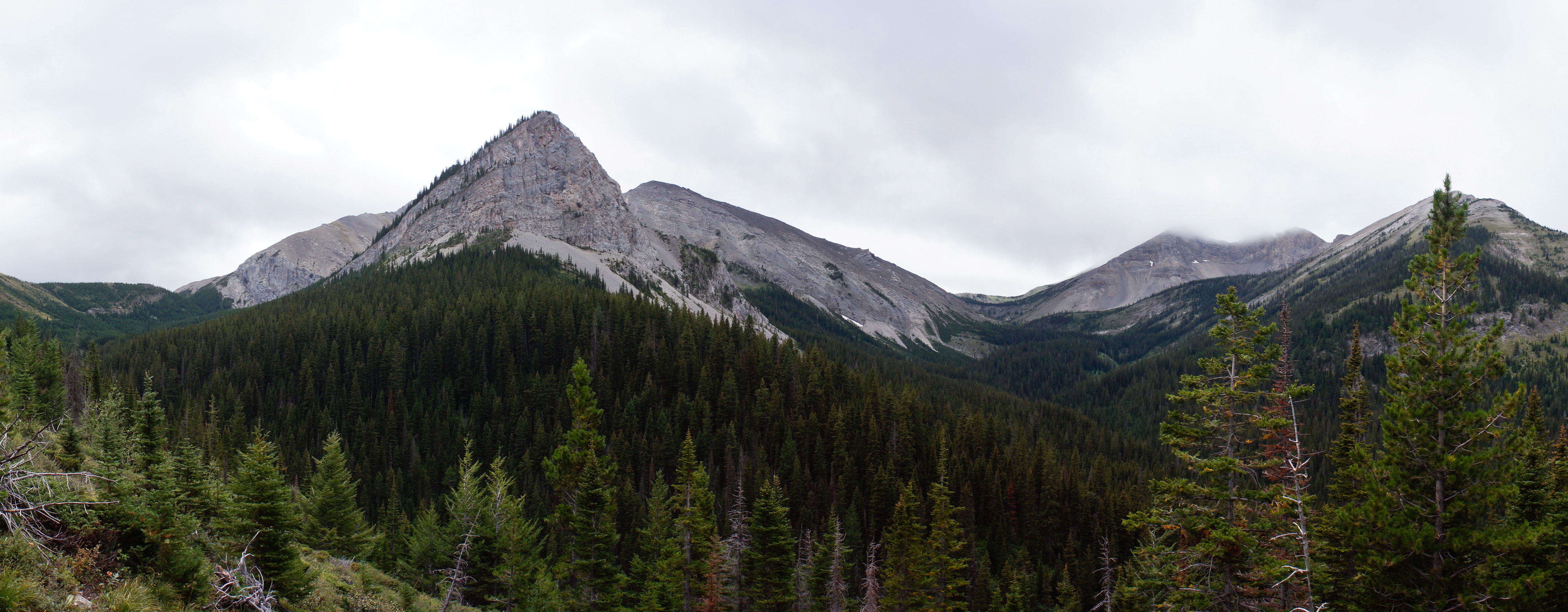
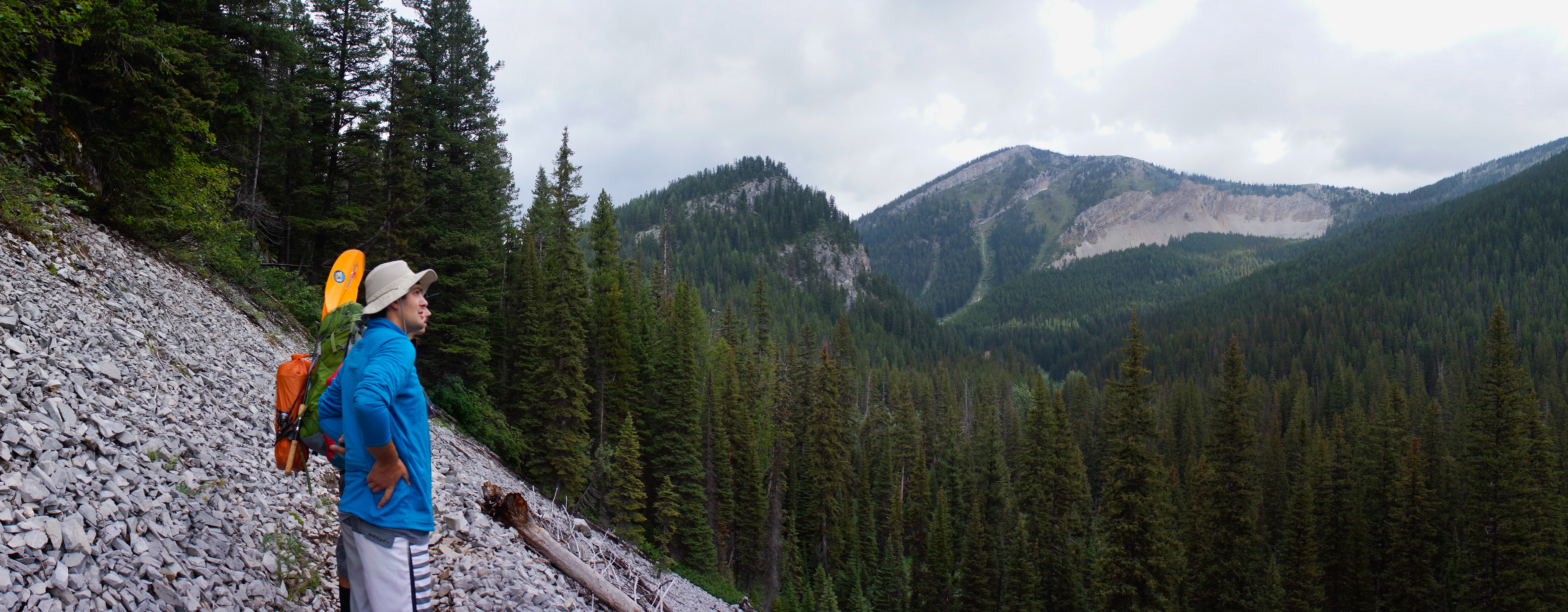
Mount Field
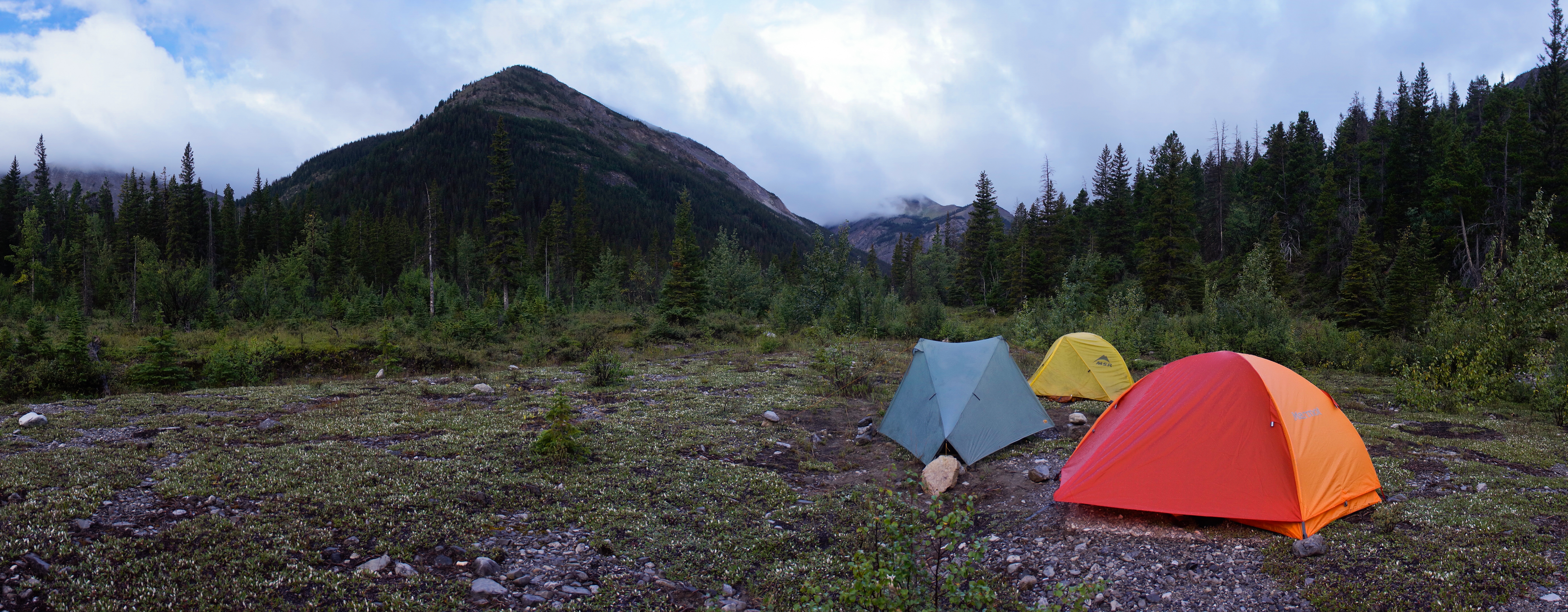
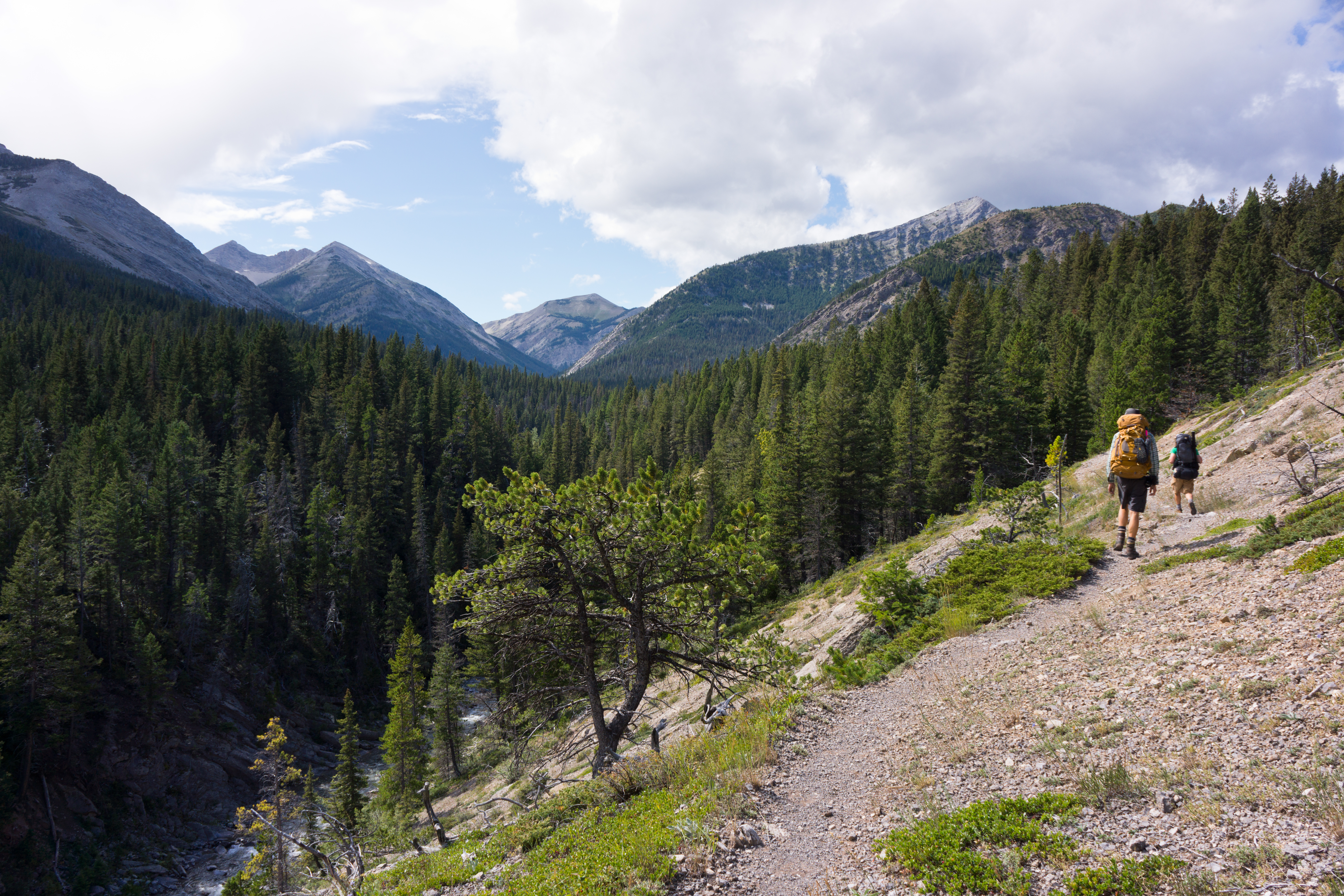
Camp Looking Up the North Fork of Birch Creek
Camp at Blind Creek-North Fork Birch Creek Confuluence
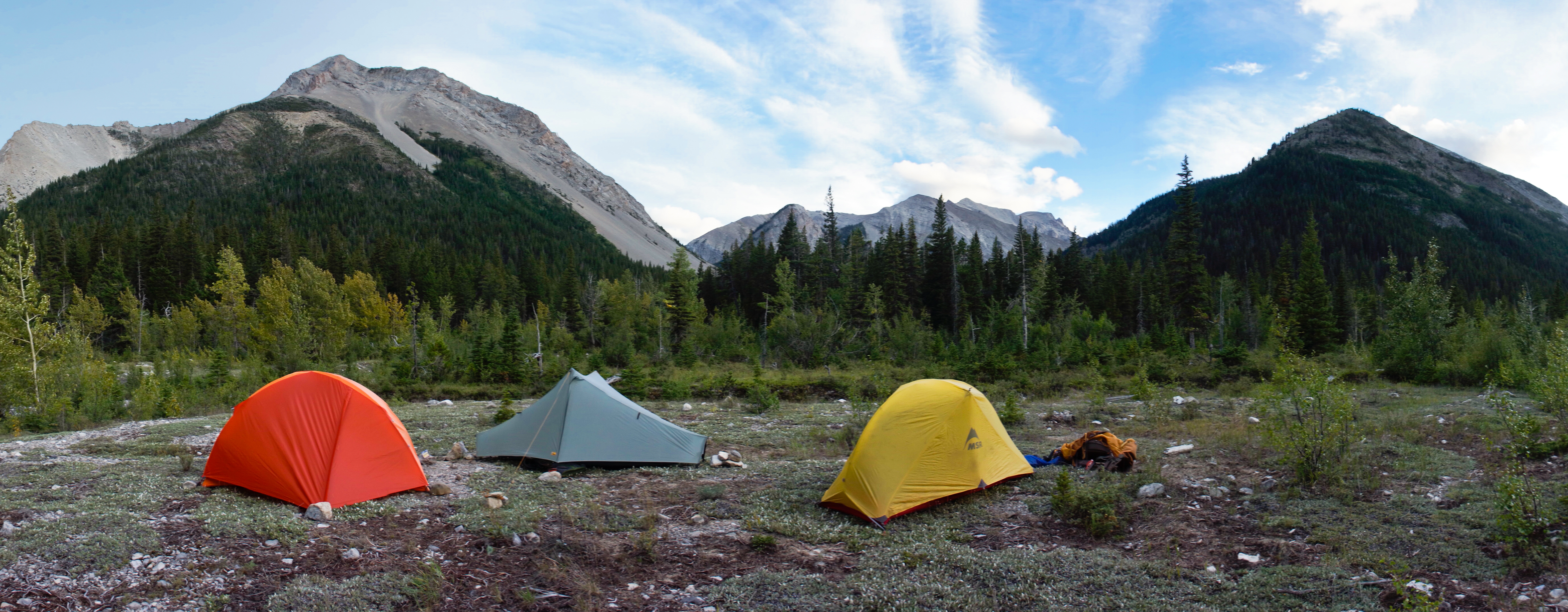
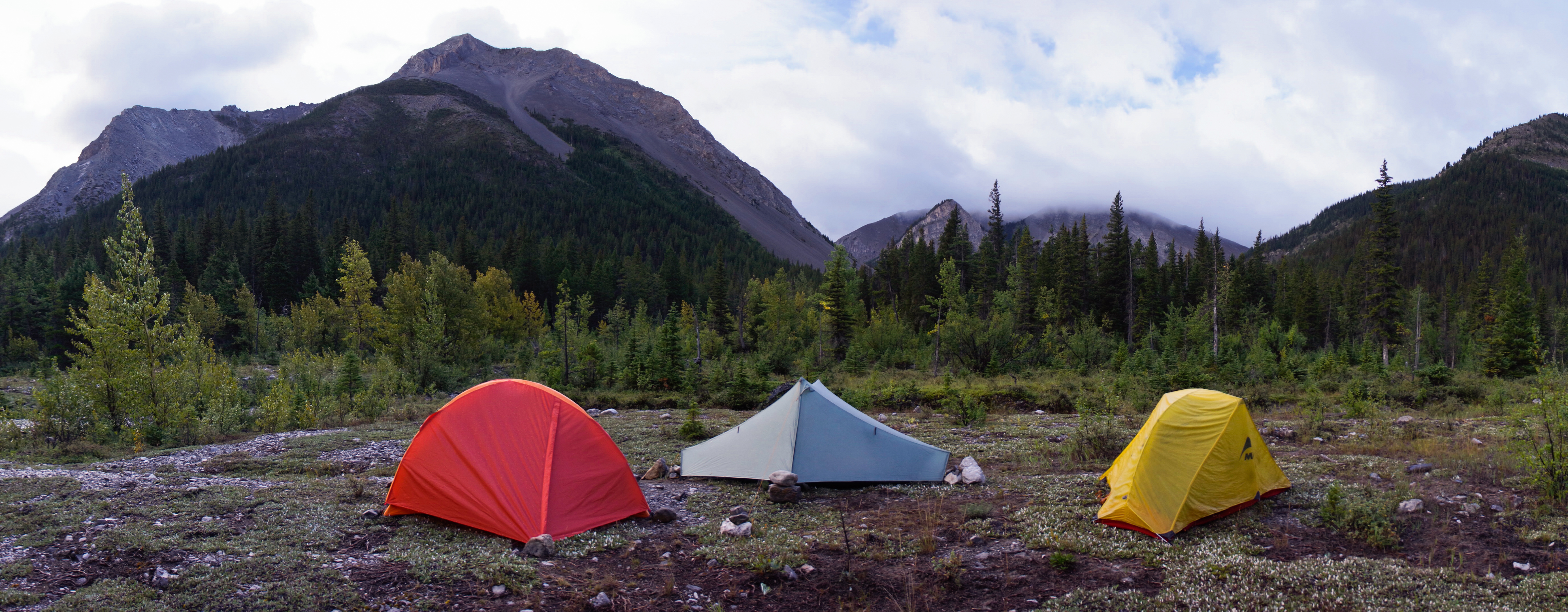
Camp Looking Up Blind Creek
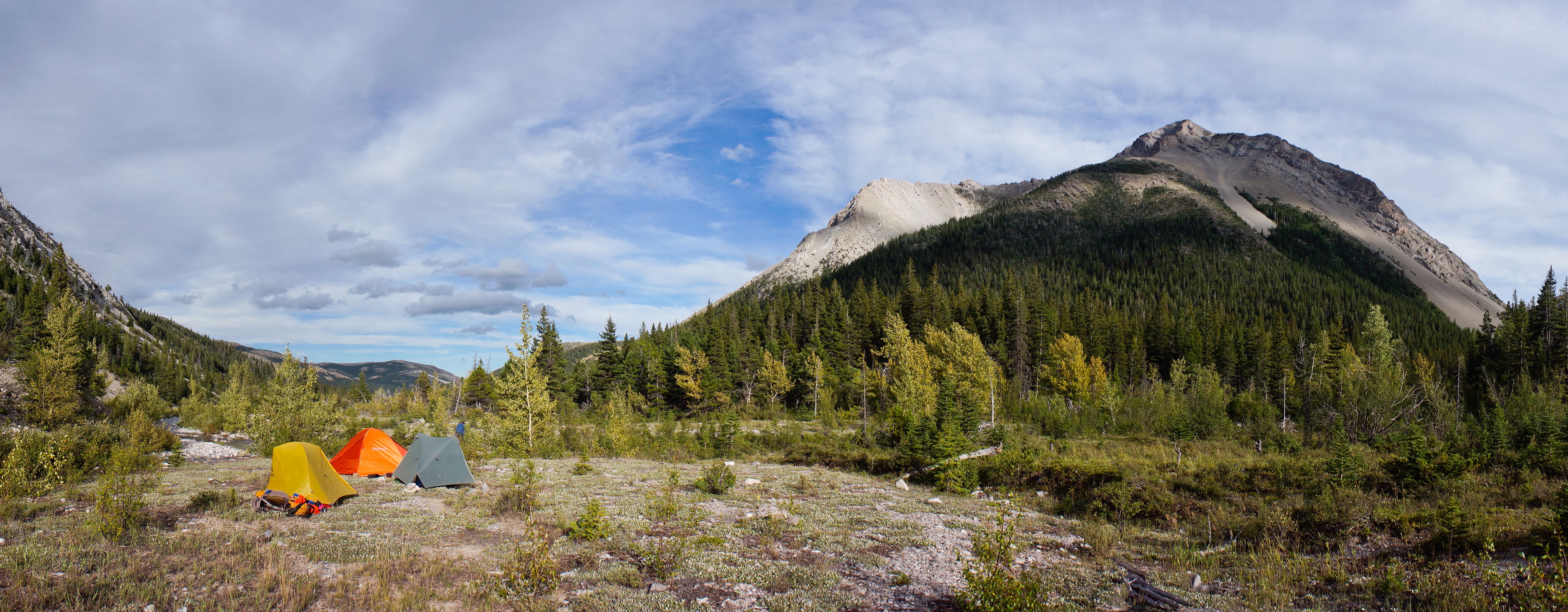
Camp Looking Down the North Fork Birch Creek
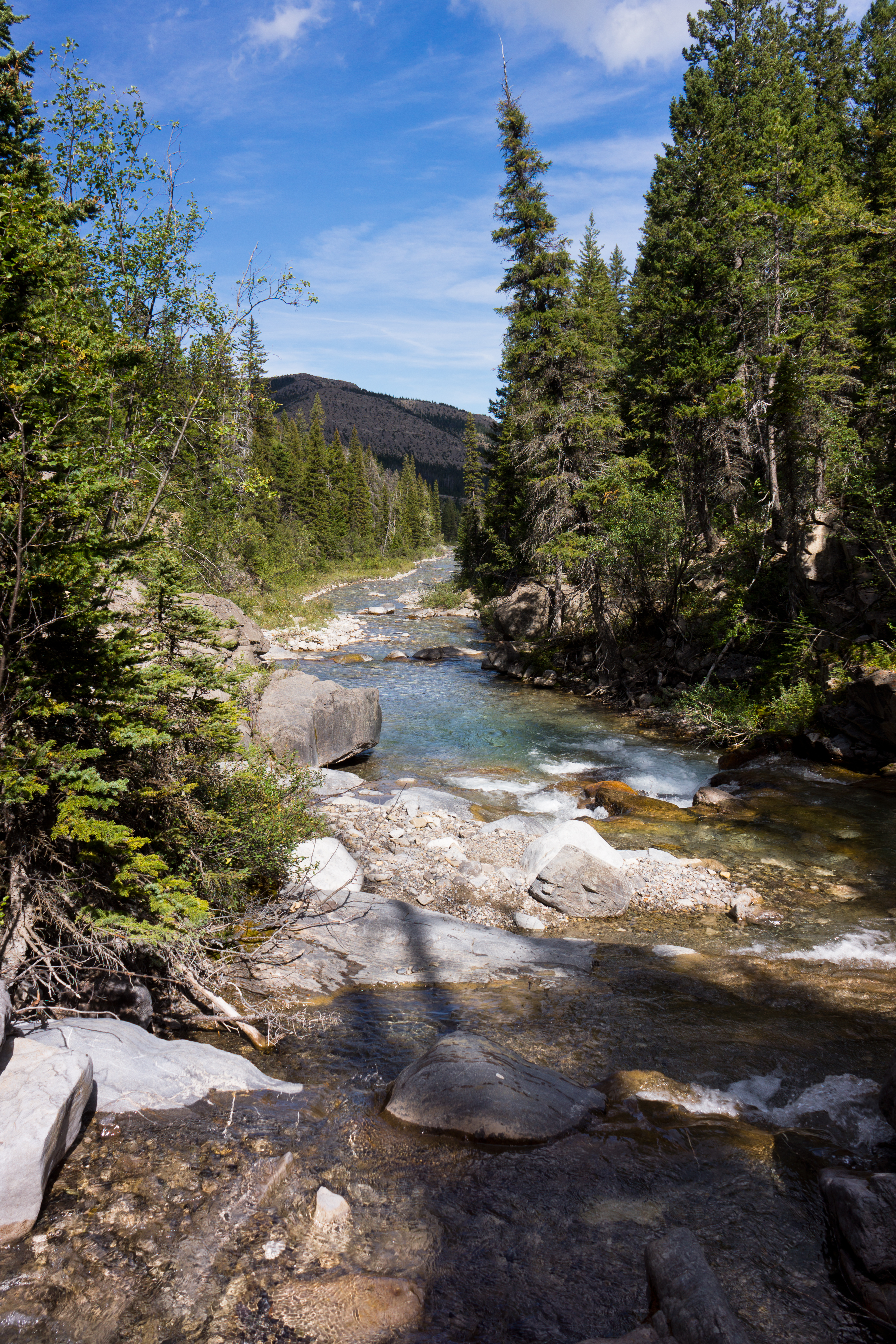
North Fork Birch Creek
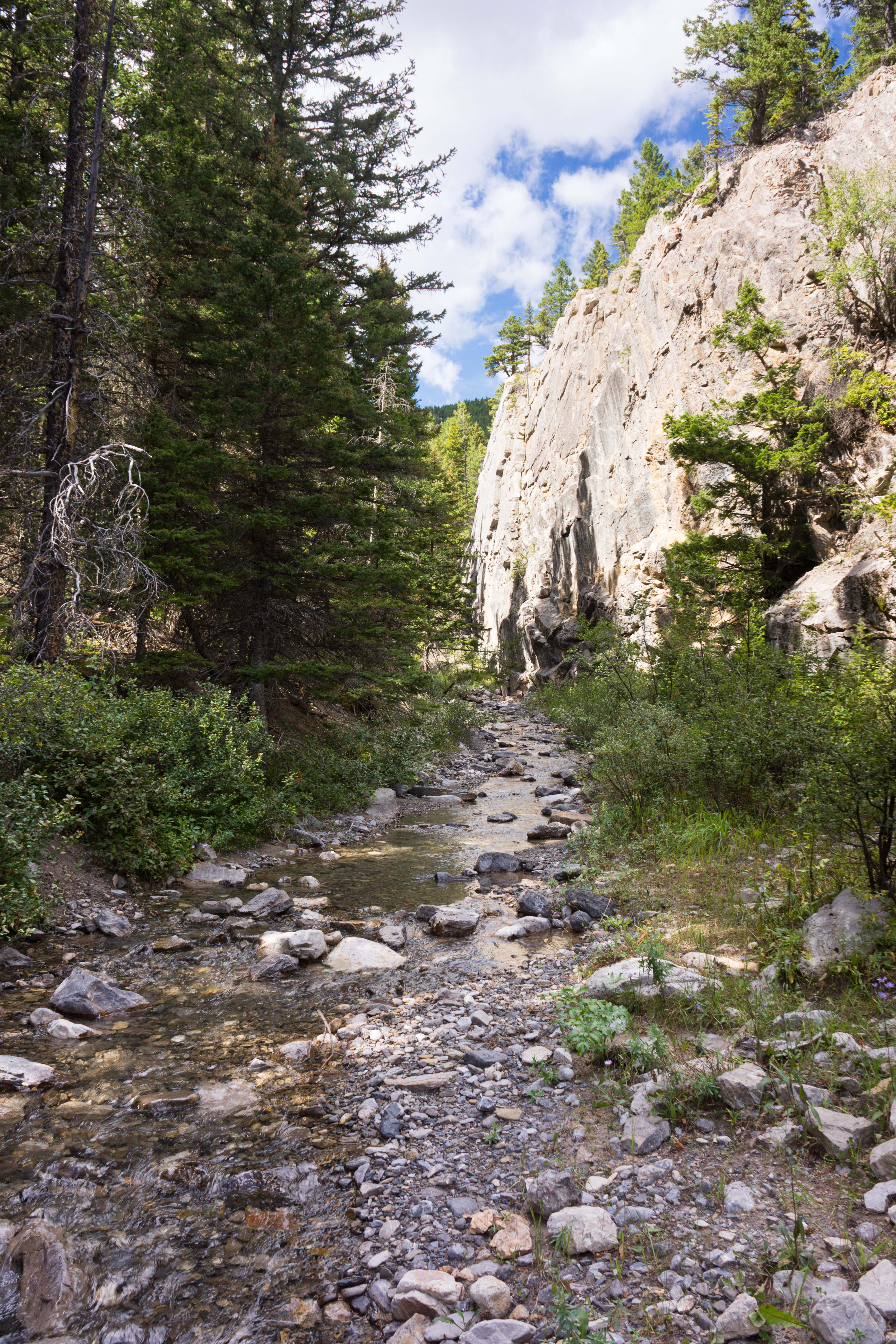
Killem Horse Creek Canyon
North Fork Birch Creek
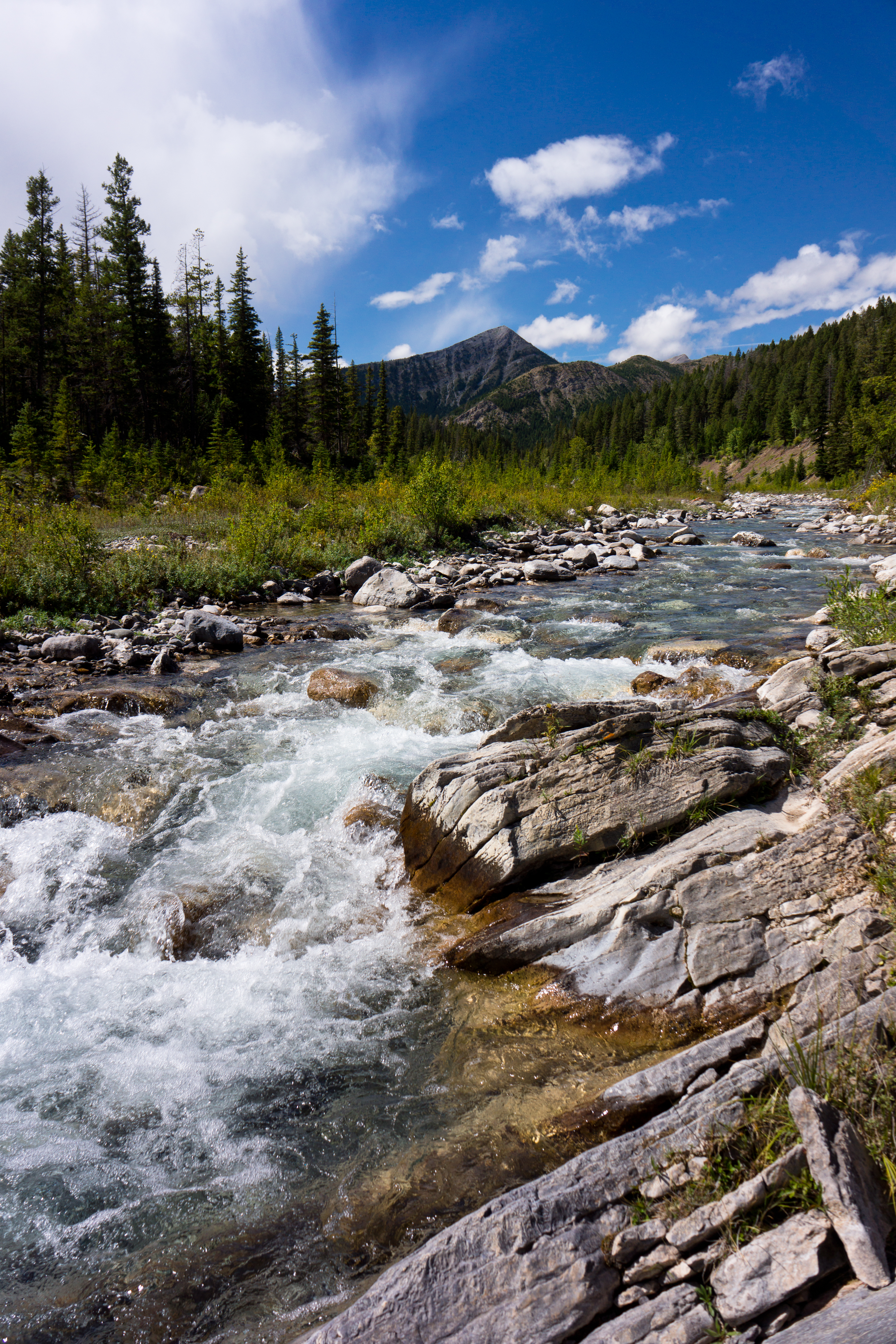
North Fork Birch Creek
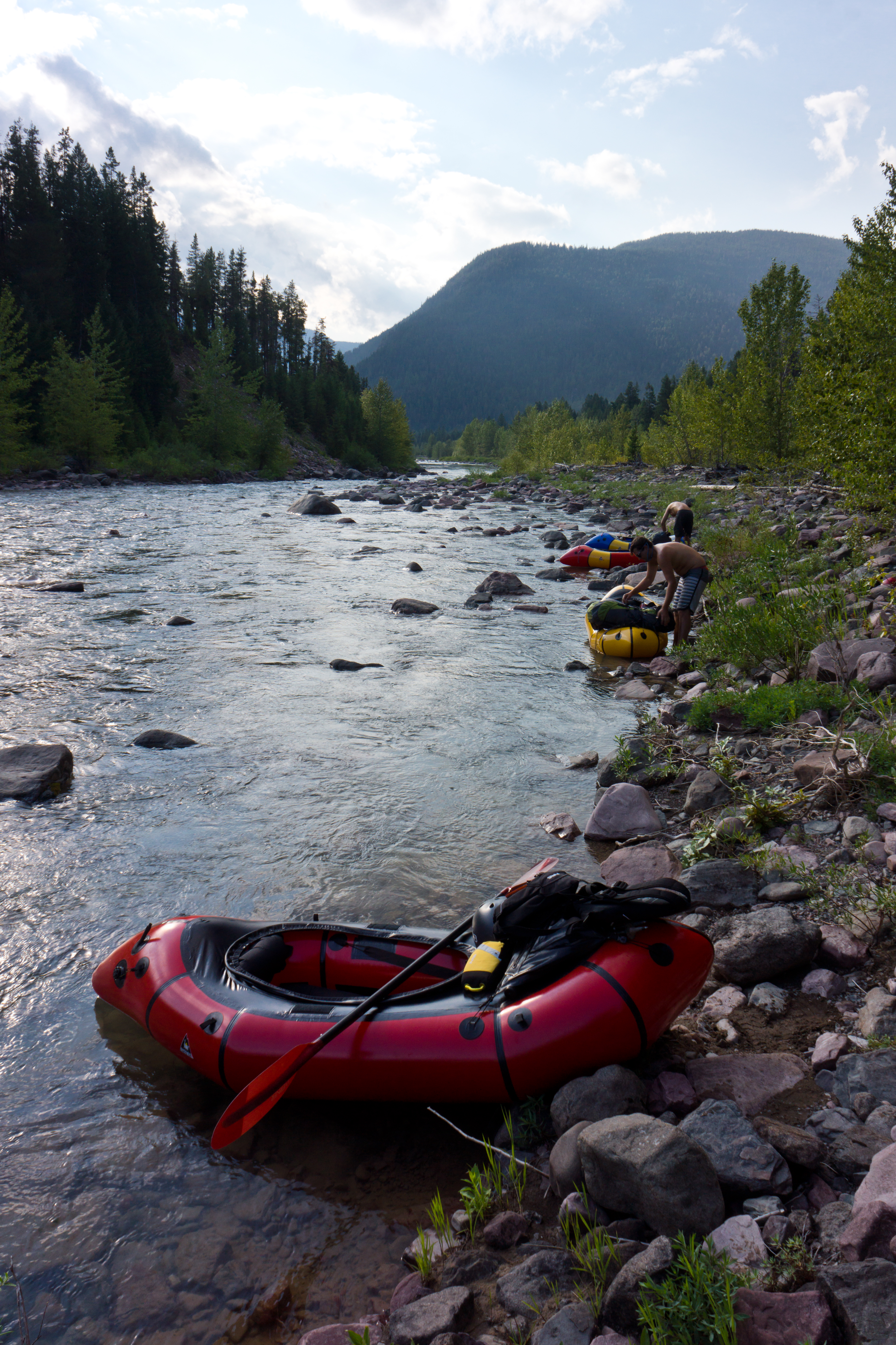
Middle Fork of the Flathead River

Stalking Trout
Slipper Bill Mountain

48.2699, -113.0425
アメリカ合衆国 モンタナ州 エルボー山の地図
別の場所を検索
近所の場所
アメリカ合衆国 モンタナ州 スポッティド・イーグル山
アメリカ合衆国 モンタナ州 ゴート山
アメリカ合衆国 モンタナ州 モーニングスター山
アメリカ合衆国 モンタナ州 ランニング・オウル山
アメリカ合衆国 モンタナ州 ビッグ・ロッジ山
アメリカ合衆国 モンタナ州 ファミリー・ピーク
アメリカ合衆国 モンタナ州 ハーフ・ドーム・クラッグ
アメリカ合衆国 〒 モンタナ州 クレセント・クリフ
アメリカ合衆国 モンタナ州 ポイア山
アメリカ合衆国 モンタナ州 ブルシュー山
アメリカ合衆国 モンタナ州 ルックアウト・リッジ・サウス
アメリカ合衆国 モンタナ州 ポンデラ HP
アメリカ合衆国 モンタナ州 ランニング・クレーン山
アメリカ合衆国 モンタナ州 リトル・プルーム・ピーク
アメリカ合衆国 〒 モンタナ州 スリッパリー・ビル・マウンテン・サウス
アメリカ合衆国 〒 モンタナ州 スリッパリー・ビル・マウンテン・ノース
アメリカ合衆国 モンタナ州 フェザー・ウーマン山
アメリカ合衆国 〒 モンタナ州 トゥー・メディスン・リッジ・イースト
アメリカ合衆国 モンタナ州 リッチモンド山
アメリカ合衆国 モンタナ州 メジャー・スティール・バックボーン
最近の検索
- アメリカ合衆国 アラスカ州 レッド・ドッグ・マイン日の出日の入り時間
- Am bhf, Borken, ドイツアム・バーンホーフ日の出日の入り時間
- 4th St E, Sonoma, CA, USA日の出日の入り時間
- Oakland Ave, Williamsport, PA アメリカ合衆国日の出日の入り時間
- Via Roma, Pieranica CR, イタリアローマ通り日の出日の入り時間
- クロアチア 〒 ドゥブロブニク GradClock Tower of Dubrovnik日の出日の入り時間
- アルゼンチン チュブ州 トレリュー日の出日の入り時間
- Hartfords Bluff Cir, Mt Pleasant, SC アメリカ合衆国日の出日の入り時間
- 日本、熊本県熊本市北区日の出日の入り時間
- 中華人民共和国 福州市 平潭県 平潭島日の出日の入り時間