E Bluebird Ln, Kingman, AZ アメリカ合衆国日の出日の入り時間
Location: アメリカ合衆国 > アリゾナ州 > モハーヴェ > アメリカ合衆国 アリゾナ州 キングマン >
時間帯:
America/Phoenix
現地時間:
2025-05-21 03:39:56
経度:
-113.807576
緯度:
35.419435
今日の日の出時刻:
05:25:58 AM
今日の日の入時刻:
07:37:48 PM
今日の日長:
14h 11m 50s
明日の日の出時刻:
05:25:23 AM
明日の日の入時刻:
07:38:33 PM
明日の日長:
14h 13m 10s
すべて表示する
| 日付 | 日出 | 日没 | 日長 |
|---|---|---|---|
| 2025年01月01日 | 07:44:26 AM | 05:34:25 PM | 9h 49m 59s |
| 2025年01月02日 | 07:44:33 AM | 05:35:13 PM | 9h 50m 40s |
| 2025年01月03日 | 07:44:38 AM | 05:36:02 PM | 9h 51m 24s |
| 2025年01月04日 | 07:44:41 AM | 05:36:52 PM | 9h 52m 11s |
| 2025年01月05日 | 07:44:43 AM | 05:37:44 PM | 9h 53m 1s |
| 2025年01月06日 | 07:44:42 AM | 05:38:36 PM | 9h 53m 54s |
| 2025年01月07日 | 07:44:40 AM | 05:39:29 PM | 9h 54m 49s |
| 2025年01月08日 | 07:44:35 AM | 05:40:23 PM | 9h 55m 48s |
| 2025年01月09日 | 07:44:29 AM | 05:41:18 PM | 9h 56m 49s |
| 2025年01月10日 | 07:44:21 AM | 05:42:13 PM | 9h 57m 52s |
| 2025年01月11日 | 07:44:10 AM | 05:43:10 PM | 9h 59m 0s |
| 2025年01月12日 | 07:43:58 AM | 05:44:07 PM | 10h 0m 9s |
| 2025年01月13日 | 07:43:44 AM | 05:45:04 PM | 10h 1m 20s |
| 2025年01月14日 | 07:43:28 AM | 05:46:02 PM | 10h 2m 34s |
| 2025年01月15日 | 07:43:10 AM | 05:47:01 PM | 10h 3m 51s |
| 2025年01月16日 | 07:42:50 AM | 05:48:00 PM | 10h 5m 10s |
| 2025年01月17日 | 07:42:29 AM | 05:49:00 PM | 10h 6m 31s |
| 2025年01月18日 | 07:42:05 AM | 05:50:00 PM | 10h 7m 55s |
| 2025年01月19日 | 07:41:40 AM | 05:51:01 PM | 10h 9m 21s |
| 2025年01月20日 | 07:41:12 AM | 05:52:02 PM | 10h 10m 50s |
| 2025年01月21日 | 07:40:43 AM | 05:53:03 PM | 10h 12m 20s |
| 2025年01月22日 | 07:40:12 AM | 05:54:04 PM | 10h 13m 52s |
| 2025年01月23日 | 07:39:40 AM | 05:55:06 PM | 10h 15m 26s |
| 2025年01月24日 | 07:39:05 AM | 05:56:07 PM | 10h 17m 2s |
| 2025年01月25日 | 07:38:29 AM | 05:57:09 PM | 10h 18m 40s |
| 2025年01月26日 | 07:37:52 AM | 05:58:11 PM | 10h 20m 19s |
| 2025年01月27日 | 07:37:12 AM | 05:59:13 PM | 10h 22m 1s |
| 2025年01月28日 | 07:36:31 AM | 06:00:15 PM | 10h 23m 44s |
| 2025年01月29日 | 07:35:48 AM | 06:01:17 PM | 10h 25m 29s |
| 2025年01月30日 | 07:35:04 AM | 06:02:19 PM | 10h 27m 15s |
| 2025年01月31日 | 07:34:18 AM | 06:03:21 PM | 10h 29m 3s |
| 2025年02月01日 | 07:33:30 AM | 06:04:23 PM | 10h 30m 53s |
| 2025年02月02日 | 07:32:41 AM | 06:05:24 PM | 10h 32m 43s |
| 2025年02月03日 | 07:31:51 AM | 06:06:26 PM | 10h 34m 35s |
| 2025年02月04日 | 07:30:59 AM | 06:07:28 PM | 10h 36m 29s |
| 2025年02月05日 | 07:30:06 AM | 06:08:29 PM | 10h 38m 23s |
| 2025年02月06日 | 07:29:11 AM | 06:09:30 PM | 10h 40m 19s |
| 2025年02月07日 | 07:28:15 AM | 06:10:31 PM | 10h 42m 16s |
| 2025年02月08日 | 07:27:17 AM | 06:11:31 PM | 10h 44m 14s |
| 2025年02月09日 | 07:26:18 AM | 06:12:32 PM | 10h 46m 14s |
| 2025年02月10日 | 07:25:18 AM | 06:13:32 PM | 10h 48m 14s |
| 2025年02月11日 | 07:24:17 AM | 06:14:32 PM | 10h 50m 15s |
| 2025年02月12日 | 07:23:14 AM | 06:15:31 PM | 10h 52m 17s |
| 2025年02月13日 | 07:22:11 AM | 06:16:30 PM | 10h 54m 19s |
| 2025年02月14日 | 07:21:06 AM | 06:17:29 PM | 10h 56m 23s |
| 2025年02月15日 | 07:20:00 AM | 06:18:28 PM | 10h 58m 28s |
| 2025年02月16日 | 07:18:53 AM | 06:19:26 PM | 11h 0m 33s |
| 2025年02月17日 | 07:17:45 AM | 06:20:24 PM | 11h 2m 39s |
| 2025年02月18日 | 07:16:36 AM | 06:21:22 PM | 11h 4m 46s |
| 2025年02月19日 | 07:15:25 AM | 06:22:19 PM | 11h 6m 54s |
| 2025年02月20日 | 07:14:14 AM | 06:23:16 PM | 11h 9m 2s |
| 2025年02月21日 | 07:13:02 AM | 06:24:13 PM | 11h 11m 11s |
| 2025年02月22日 | 07:11:49 AM | 06:25:09 PM | 11h 13m 20s |
| 2025年02月23日 | 07:10:36 AM | 06:26:05 PM | 11h 15m 29s |
| 2025年02月24日 | 07:09:21 AM | 06:27:01 PM | 11h 17m 40s |
| 2025年02月25日 | 07:08:06 AM | 06:27:56 PM | 11h 19m 50s |
| 2025年02月26日 | 07:06:49 AM | 06:28:51 PM | 11h 22m 2s |
| 2025年02月27日 | 07:05:33 AM | 06:29:46 PM | 11h 24m 13s |
| 2025年02月28日 | 07:04:15 AM | 06:30:40 PM | 11h 26m 25s |
| 2025年03月01日 | 07:02:57 AM | 06:31:34 PM | 11h 28m 37s |
| 2025年03月02日 | 07:01:38 AM | 06:32:28 PM | 11h 30m 50s |
| 2025年03月03日 | 07:00:18 AM | 06:33:22 PM | 11h 33m 4s |
| 2025年03月04日 | 06:58:58 AM | 06:34:15 PM | 11h 35m 17s |
| 2025年03月05日 | 06:57:37 AM | 06:35:07 PM | 11h 37m 30s |
| 2025年03月06日 | 06:56:16 AM | 06:36:00 PM | 11h 39m 44s |
| 2025年03月07日 | 06:54:54 AM | 06:36:52 PM | 11h 41m 58s |
| 2025年03月08日 | 06:53:32 AM | 06:37:44 PM | 11h 44m 12s |
| 2025年03月09日 | 06:52:10 AM | 06:38:36 PM | 11h 46m 26s |
| 2025年03月10日 | 06:50:47 AM | 06:39:28 PM | 11h 48m 41s |
| 2025年03月11日 | 06:49:23 AM | 06:40:19 PM | 11h 50m 56s |
| 2025年03月12日 | 06:48:00 AM | 06:41:10 PM | 11h 53m 10s |
| 2025年03月13日 | 06:46:36 AM | 06:42:01 PM | 11h 55m 25s |
| 2025年03月14日 | 06:45:12 AM | 06:42:51 PM | 11h 57m 39s |
| 2025年03月15日 | 06:43:47 AM | 06:43:42 PM | 11h 59m 55s |
| 2025年03月16日 | 06:42:22 AM | 06:44:32 PM | 12h 2m 10s |
| 2025年03月17日 | 06:40:58 AM | 06:45:22 PM | 12h 4m 24s |
| 2025年03月18日 | 06:39:33 AM | 06:46:12 PM | 12h 6m 39s |
| 2025年03月19日 | 06:38:07 AM | 06:47:02 PM | 12h 8m 55s |
| 2025年03月20日 | 06:36:42 AM | 06:47:51 PM | 12h 11m 9s |
| 2025年03月21日 | 06:35:17 AM | 06:48:41 PM | 12h 13m 24s |
| 2025年03月22日 | 06:33:51 AM | 06:49:30 PM | 12h 15m 39s |
| 2025年03月23日 | 06:32:26 AM | 06:50:19 PM | 12h 17m 53s |
| 2025年03月24日 | 06:31:01 AM | 06:51:08 PM | 12h 20m 7s |
| 2025年03月25日 | 06:29:35 AM | 06:51:57 PM | 12h 22m 22s |
| 2025年03月26日 | 06:28:10 AM | 06:52:46 PM | 12h 24m 36s |
| 2025年03月27日 | 06:26:45 AM | 06:53:35 PM | 12h 26m 50s |
| 2025年03月28日 | 06:25:20 AM | 06:54:24 PM | 12h 29m 4s |
| 2025年03月29日 | 06:23:55 AM | 06:55:13 PM | 12h 31m 18s |
| 2025年03月30日 | 06:22:31 AM | 06:56:02 PM | 12h 33m 31s |
| 2025年03月31日 | 06:21:06 AM | 06:56:51 PM | 12h 35m 45s |
| 2025年04月01日 | 06:19:42 AM | 06:57:39 PM | 12h 37m 57s |
| 2025年04月02日 | 06:18:19 AM | 06:58:28 PM | 12h 40m 9s |
| 2025年04月03日 | 06:16:55 AM | 06:59:17 PM | 12h 42m 22s |
| 2025年04月04日 | 06:15:32 AM | 07:00:06 PM | 12h 44m 34s |
| 2025年04月05日 | 06:14:09 AM | 07:00:54 PM | 12h 46m 45s |
| 2025年04月06日 | 06:12:47 AM | 07:01:43 PM | 12h 48m 56s |
| 2025年04月07日 | 06:11:25 AM | 07:02:32 PM | 12h 51m 7s |
| 2025年04月08日 | 06:10:03 AM | 07:03:21 PM | 12h 53m 18s |
| 2025年04月09日 | 06:08:42 AM | 07:04:10 PM | 12h 55m 28s |
| 2025年04月10日 | 06:07:22 AM | 07:04:59 PM | 12h 57m 37s |
| 2025年04月11日 | 06:06:02 AM | 07:05:48 PM | 12h 59m 46s |
| 2025年04月12日 | 06:04:42 AM | 07:06:37 PM | 13h 1m 55s |
| 2025年04月13日 | 06:03:24 AM | 07:07:26 PM | 13h 4m 2s |
| 2025年04月14日 | 06:02:05 AM | 07:08:15 PM | 13h 6m 10s |
| 2025年04月15日 | 06:00:48 AM | 07:09:05 PM | 13h 8m 17s |
| 2025年04月16日 | 05:59:31 AM | 07:09:54 PM | 13h 10m 23s |
| 2025年04月17日 | 05:58:15 AM | 07:10:43 PM | 13h 12m 28s |
| 2025年04月18日 | 05:57:00 AM | 07:11:33 PM | 13h 14m 33s |
| 2025年04月19日 | 05:55:45 AM | 07:12:22 PM | 13h 16m 37s |
| 2025年04月20日 | 05:54:32 AM | 07:13:12 PM | 13h 18m 40s |
| 2025年04月21日 | 05:53:19 AM | 07:14:01 PM | 13h 20m 42s |
| 2025年04月22日 | 05:52:07 AM | 07:14:51 PM | 13h 22m 44s |
| 2025年04月23日 | 05:50:56 AM | 07:15:41 PM | 13h 24m 45s |
| 2025年04月24日 | 05:49:45 AM | 07:16:30 PM | 13h 26m 45s |
| 2025年04月25日 | 05:48:36 AM | 07:17:20 PM | 13h 28m 44s |
| 2025年04月26日 | 05:47:28 AM | 07:18:10 PM | 13h 30m 42s |
| 2025年04月27日 | 05:46:21 AM | 07:19:00 PM | 13h 32m 39s |
| 2025年04月28日 | 05:45:14 AM | 07:19:50 PM | 13h 34m 36s |
| 2025年04月29日 | 05:44:09 AM | 07:20:39 PM | 13h 36m 30s |
| 2025年04月30日 | 05:43:05 AM | 07:21:29 PM | 13h 38m 24s |
| 2025年05月01日 | 05:42:02 AM | 07:22:19 PM | 13h 40m 17s |
| 2025年05月02日 | 05:41:00 AM | 07:23:09 PM | 13h 42m 9s |
| 2025年05月03日 | 05:40:00 AM | 07:23:58 PM | 13h 43m 58s |
| 2025年05月04日 | 05:39:00 AM | 07:24:48 PM | 13h 45m 48s |
| 2025年05月05日 | 05:38:02 AM | 07:25:37 PM | 13h 47m 35s |
| 2025年05月06日 | 05:37:05 AM | 07:26:26 PM | 13h 49m 21s |
| 2025年05月07日 | 05:36:09 AM | 07:27:16 PM | 13h 51m 7s |
| 2025年05月08日 | 05:35:15 AM | 07:28:05 PM | 13h 52m 50s |
| 2025年05月09日 | 05:34:22 AM | 07:28:53 PM | 13h 54m 31s |
| 2025年05月10日 | 05:33:30 AM | 07:29:42 PM | 13h 56m 12s |
| 2025年05月11日 | 05:32:40 AM | 07:30:30 PM | 13h 57m 50s |
| 2025年05月12日 | 05:31:51 AM | 07:31:19 PM | 13h 59m 28s |
| 2025年05月13日 | 05:31:03 AM | 07:32:07 PM | 14h 1m 4s |
| 2025年05月14日 | 05:30:17 AM | 07:32:54 PM | 14h 2m 37s |
| 2025年05月15日 | 05:29:32 AM | 07:33:41 PM | 14h 4m 9s |
| 2025年05月16日 | 05:28:49 AM | 07:34:28 PM | 14h 5m 39s |
| 2025年05月17日 | 05:28:08 AM | 07:35:15 PM | 14h 7m 7s |
| 2025年05月18日 | 05:27:27 AM | 07:36:01 PM | 14h 8m 34s |
| 2025年05月19日 | 05:26:49 AM | 07:36:47 PM | 14h 9m 58s |
| 2025年05月20日 | 05:26:12 AM | 07:37:32 PM | 14h 11m 20s |
| 2025年05月21日 | 05:25:36 AM | 07:38:16 PM | 14h 12m 40s |
| 2025年05月22日 | 05:25:02 AM | 07:39:00 PM | 14h 13m 58s |
| 2025年05月23日 | 05:24:30 AM | 07:39:44 PM | 14h 15m 14s |
| 2025年05月24日 | 05:23:59 AM | 07:40:27 PM | 14h 16m 28s |
| 2025年05月25日 | 05:23:30 AM | 07:41:09 PM | 14h 17m 39s |
| 2025年05月26日 | 05:23:02 AM | 07:41:51 PM | 14h 18m 49s |
| 2025年05月27日 | 05:22:37 AM | 07:42:32 PM | 14h 19m 55s |
| 2025年05月28日 | 05:22:12 AM | 07:43:12 PM | 14h 21m 0s |
| 2025年05月29日 | 05:21:50 AM | 07:43:51 PM | 14h 22m 1s |
| 2025年05月30日 | 05:21:29 AM | 07:44:29 PM | 14h 23m 0s |
| 2025年05月31日 | 05:21:10 AM | 07:45:07 PM | 14h 23m 57s |
| 2025年06月01日 | 05:20:52 AM | 07:45:44 PM | 14h 24m 52s |
| 2025年06月02日 | 05:20:37 AM | 07:46:19 PM | 14h 25m 42s |
| 2025年06月03日 | 05:20:22 AM | 07:46:54 PM | 14h 26m 32s |
| 2025年06月04日 | 05:20:10 AM | 07:47:28 PM | 14h 27m 18s |
| 2025年06月05日 | 05:19:59 AM | 07:48:01 PM | 14h 28m 2s |
| 2025年06月06日 | 05:19:50 AM | 07:48:32 PM | 14h 28m 42s |
| 2025年06月07日 | 05:19:42 AM | 07:49:03 PM | 14h 29m 21s |
| 2025年06月08日 | 05:19:37 AM | 07:49:32 PM | 14h 29m 55s |
| 2025年06月09日 | 05:19:32 AM | 07:50:01 PM | 14h 30m 29s |
| 2025年06月10日 | 05:19:30 AM | 07:50:27 PM | 14h 30m 57s |
| 2025年06月11日 | 05:19:29 AM | 07:50:53 PM | 14h 31m 24s |
| 2025年06月12日 | 05:19:30 AM | 07:51:18 PM | 14h 31m 48s |
| 2025年06月13日 | 05:19:32 AM | 07:51:41 PM | 14h 32m 9s |
| 2025年06月14日 | 05:19:36 AM | 07:52:02 PM | 14h 32m 26s |
| 2025年06月15日 | 05:19:42 AM | 07:52:23 PM | 14h 32m 41s |
| 2025年06月16日 | 05:19:49 AM | 07:52:42 PM | 14h 32m 53s |
| 2025年06月17日 | 05:19:57 AM | 07:52:59 PM | 14h 33m 2s |
| 2025年06月18日 | 05:20:07 AM | 07:53:15 PM | 14h 33m 8s |
| 2025年06月19日 | 05:20:19 AM | 07:53:30 PM | 14h 33m 11s |
| 2025年06月20日 | 05:20:32 AM | 07:53:43 PM | 14h 33m 11s |
| 2025年06月21日 | 05:20:46 AM | 07:53:54 PM | 14h 33m 8s |
| 2025年06月22日 | 05:21:02 AM | 07:54:04 PM | 14h 33m 2s |
| 2025年06月23日 | 05:21:20 AM | 07:54:13 PM | 14h 32m 53s |
| 2025年06月24日 | 05:21:38 AM | 07:54:20 PM | 14h 32m 42s |
| 2025年06月25日 | 05:21:59 AM | 07:54:25 PM | 14h 32m 26s |
| 2025年06月26日 | 05:22:20 AM | 07:54:28 PM | 14h 32m 8s |
| 2025年06月27日 | 05:22:43 AM | 07:54:30 PM | 14h 31m 47s |
| 2025年06月28日 | 05:23:06 AM | 07:54:30 PM | 14h 31m 24s |
| 2025年06月29日 | 05:23:32 AM | 07:54:29 PM | 14h 30m 57s |
| 2025年06月30日 | 05:23:58 AM | 07:54:26 PM | 14h 30m 28s |
| 2025年07月01日 | 05:24:25 AM | 07:54:21 PM | 14h 29m 56s |
| 2025年07月02日 | 05:24:54 AM | 07:54:14 PM | 14h 29m 20s |
| 2025年07月03日 | 05:25:23 AM | 07:54:06 PM | 14h 28m 43s |
| 2025年07月04日 | 05:25:54 AM | 07:53:56 PM | 14h 28m 2s |
| 2025年07月05日 | 05:26:26 AM | 07:53:45 PM | 14h 27m 19s |
| 2025年07月06日 | 05:26:58 AM | 07:53:31 PM | 14h 26m 33s |
| 2025年07月07日 | 05:27:32 AM | 07:53:16 PM | 14h 25m 44s |
| 2025年07月08日 | 05:28:07 AM | 07:52:59 PM | 14h 24m 52s |
| 2025年07月09日 | 05:28:42 AM | 07:52:41 PM | 14h 23m 59s |
| 2025年07月10日 | 05:29:18 AM | 07:52:20 PM | 14h 23m 2s |
| 2025年07月11日 | 05:29:55 AM | 07:51:59 PM | 14h 22m 4s |
| 2025年07月12日 | 05:30:33 AM | 07:51:35 PM | 14h 21m 2s |
| 2025年07月13日 | 05:31:11 AM | 07:51:10 PM | 14h 19m 59s |
| 2025年07月14日 | 05:31:50 AM | 07:50:43 PM | 14h 18m 53s |
| 2025年07月15日 | 05:32:30 AM | 07:50:14 PM | 14h 17m 44s |
| 2025年07月16日 | 05:33:10 AM | 07:49:43 PM | 14h 16m 33s |
| 2025年07月17日 | 05:33:51 AM | 07:49:11 PM | 14h 15m 20s |
| 2025年07月18日 | 05:34:33 AM | 07:48:38 PM | 14h 14m 5s |
| 2025年07月19日 | 05:35:15 AM | 07:48:03 PM | 14h 12m 48s |
| 2025年07月20日 | 05:35:57 AM | 07:47:26 PM | 14h 11m 29s |
| 2025年07月21日 | 05:36:40 AM | 07:46:47 PM | 14h 10m 7s |
| 2025年07月22日 | 05:37:24 AM | 07:46:07 PM | 14h 8m 43s |
| 2025年07月23日 | 05:38:08 AM | 07:45:26 PM | 14h 7m 18s |
| 2025年07月24日 | 05:38:52 AM | 07:44:43 PM | 14h 5m 51s |
| 2025年07月25日 | 05:39:36 AM | 07:43:58 PM | 14h 4m 22s |
| 2025年07月26日 | 05:40:21 AM | 07:43:12 PM | 14h 2m 51s |
| 2025年07月27日 | 05:41:06 AM | 07:42:24 PM | 14h 1m 18s |
| 2025年07月28日 | 05:41:51 AM | 07:41:35 PM | 13h 59m 44s |
| 2025年07月29日 | 05:42:36 AM | 07:40:45 PM | 13h 58m 9s |
| 2025年07月30日 | 05:43:22 AM | 07:39:53 PM | 13h 56m 31s |
| 2025年07月31日 | 05:44:08 AM | 07:38:59 PM | 13h 54m 51s |
| 2025年08月01日 | 05:44:54 AM | 07:38:05 PM | 13h 53m 11s |
| 2025年08月02日 | 05:45:40 AM | 07:37:09 PM | 13h 51m 29s |
| 2025年08月03日 | 05:46:26 AM | 07:36:11 PM | 13h 49m 45s |
| 2025年08月04日 | 05:47:12 AM | 07:35:13 PM | 13h 48m 1s |
| 2025年08月05日 | 05:47:59 AM | 07:34:13 PM | 13h 46m 14s |
| 2025年08月06日 | 05:48:45 AM | 07:33:12 PM | 13h 44m 27s |
| 2025年08月07日 | 05:49:31 AM | 07:32:10 PM | 13h 42m 39s |
| 2025年08月08日 | 05:50:18 AM | 07:31:06 PM | 13h 40m 48s |
| 2025年08月09日 | 05:51:04 AM | 07:30:01 PM | 13h 38m 57s |
| 2025年08月10日 | 05:51:51 AM | 07:28:56 PM | 13h 37m 5s |
| 2025年08月11日 | 05:52:37 AM | 07:27:49 PM | 13h 35m 12s |
| 2025年08月12日 | 05:53:23 AM | 07:26:41 PM | 13h 33m 18s |
| 2025年08月13日 | 05:54:10 AM | 07:25:32 PM | 13h 31m 22s |
| 2025年08月14日 | 05:54:56 AM | 07:24:22 PM | 13h 29m 26s |
| 2025年08月15日 | 05:55:42 AM | 07:23:11 PM | 13h 27m 29s |
| 2025年08月16日 | 05:56:28 AM | 07:21:59 PM | 13h 25m 31s |
| 2025年08月17日 | 05:57:14 AM | 07:20:46 PM | 13h 23m 32s |
| 2025年08月18日 | 05:58:00 AM | 07:19:32 PM | 13h 21m 32s |
| 2025年08月19日 | 05:58:46 AM | 07:18:18 PM | 13h 19m 32s |
| 2025年08月20日 | 05:59:32 AM | 07:17:02 PM | 13h 17m 30s |
| 2025年08月21日 | 06:00:18 AM | 07:15:46 PM | 13h 15m 28s |
| 2025年08月22日 | 06:01:03 AM | 07:14:29 PM | 13h 13m 26s |
| 2025年08月23日 | 06:01:49 AM | 07:13:11 PM | 13h 11m 22s |
| 2025年08月24日 | 06:02:34 AM | 07:11:52 PM | 13h 9m 18s |
| 2025年08月25日 | 06:03:20 AM | 07:10:33 PM | 13h 7m 13s |
| 2025年08月26日 | 06:04:05 AM | 07:09:13 PM | 13h 5m 8s |
| 2025年08月27日 | 06:04:50 AM | 07:07:52 PM | 13h 3m 2s |
| 2025年08月28日 | 06:05:35 AM | 07:06:31 PM | 13h 0m 56s |
| 2025年08月29日 | 06:06:20 AM | 07:05:09 PM | 12h 58m 49s |
| 2025年08月30日 | 06:07:05 AM | 07:03:47 PM | 12h 56m 42s |
| 2025年08月31日 | 06:07:50 AM | 07:02:24 PM | 12h 54m 34s |
| 2025年09月01日 | 06:08:35 AM | 07:01:00 PM | 12h 52m 25s |
| 2025年09月02日 | 06:09:19 AM | 06:59:36 PM | 12h 50m 17s |
| 2025年09月03日 | 06:10:04 AM | 06:58:12 PM | 12h 48m 8s |
| 2025年09月04日 | 06:10:49 AM | 06:56:47 PM | 12h 45m 58s |
| 2025年09月05日 | 06:11:33 AM | 06:55:22 PM | 12h 43m 49s |
| 2025年09月06日 | 06:12:18 AM | 06:53:56 PM | 12h 41m 38s |
| 2025年09月07日 | 06:13:02 AM | 06:52:30 PM | 12h 39m 28s |
| 2025年09月08日 | 06:13:47 AM | 06:51:04 PM | 12h 37m 17s |
| 2025年09月09日 | 06:14:31 AM | 06:49:38 PM | 12h 35m 7s |
| 2025年09月10日 | 06:15:16 AM | 06:48:11 PM | 12h 32m 55s |
| 2025年09月11日 | 06:16:00 AM | 06:46:44 PM | 12h 30m 44s |
| 2025年09月12日 | 06:16:45 AM | 06:45:17 PM | 12h 28m 32s |
| 2025年09月13日 | 06:17:29 AM | 06:43:50 PM | 12h 26m 21s |
| 2025年09月14日 | 06:18:14 AM | 06:42:22 PM | 12h 24m 8s |
| 2025年09月15日 | 06:18:59 AM | 06:40:55 PM | 12h 21m 56s |
| 2025年09月16日 | 06:19:43 AM | 06:39:27 PM | 12h 19m 44s |
| 2025年09月17日 | 06:20:28 AM | 06:37:59 PM | 12h 17m 31s |
| 2025年09月18日 | 06:21:13 AM | 06:36:32 PM | 12h 15m 19s |
| 2025年09月19日 | 06:21:58 AM | 06:35:04 PM | 12h 13m 6s |
| 2025年09月20日 | 06:22:43 AM | 06:33:36 PM | 12h 10m 53s |
| 2025年09月21日 | 06:23:28 AM | 06:32:09 PM | 12h 8m 41s |
| 2025年09月22日 | 06:24:14 AM | 06:30:41 PM | 12h 6m 27s |
| 2025年09月23日 | 06:24:59 AM | 06:29:14 PM | 12h 4m 15s |
| 2025年09月24日 | 06:25:45 AM | 06:27:47 PM | 12h 2m 2s |
| 2025年09月25日 | 06:26:31 AM | 06:26:20 PM | 11h 59m 49s |
| 2025年09月26日 | 06:27:17 AM | 06:24:53 PM | 11h 57m 36s |
| 2025年09月27日 | 06:28:03 AM | 06:23:26 PM | 11h 55m 23s |
| 2025年09月28日 | 06:28:49 AM | 06:22:00 PM | 11h 53m 11s |
| 2025年09月29日 | 06:29:36 AM | 06:20:34 PM | 11h 50m 58s |
| 2025年09月30日 | 06:30:23 AM | 06:19:09 PM | 11h 48m 46s |
| 2025年10月01日 | 06:31:10 AM | 06:17:43 PM | 11h 46m 33s |
| 2025年10月02日 | 06:31:57 AM | 06:16:18 PM | 11h 44m 21s |
| 2025年10月03日 | 06:32:45 AM | 06:14:54 PM | 11h 42m 9s |
| 2025年10月04日 | 06:33:33 AM | 06:13:30 PM | 11h 39m 57s |
| 2025年10月05日 | 06:34:21 AM | 06:12:06 PM | 11h 37m 45s |
| 2025年10月06日 | 06:35:10 AM | 06:10:43 PM | 11h 35m 33s |
| 2025年10月07日 | 06:35:58 AM | 06:09:21 PM | 11h 33m 23s |
| 2025年10月08日 | 06:36:48 AM | 06:07:59 PM | 11h 31m 11s |
| 2025年10月09日 | 06:37:37 AM | 06:06:37 PM | 11h 29m 0s |
| 2025年10月10日 | 06:38:27 AM | 06:05:17 PM | 11h 26m 50s |
| 2025年10月11日 | 06:39:17 AM | 06:03:57 PM | 11h 24m 40s |
| 2025年10月12日 | 06:40:07 AM | 06:02:37 PM | 11h 22m 30s |
| 2025年10月13日 | 06:40:58 AM | 06:01:19 PM | 11h 20m 21s |
| 2025年10月14日 | 06:41:49 AM | 06:00:01 PM | 11h 18m 12s |
| 2025年10月15日 | 06:42:41 AM | 05:58:44 PM | 11h 16m 3s |
| 2025年10月16日 | 06:43:32 AM | 05:57:27 PM | 11h 13m 55s |
| 2025年10月17日 | 06:44:25 AM | 05:56:12 PM | 11h 11m 47s |
| 2025年10月18日 | 06:45:17 AM | 05:54:57 PM | 11h 9m 40s |
| 2025年10月19日 | 06:46:10 AM | 05:53:44 PM | 11h 7m 34s |
| 2025年10月20日 | 06:47:03 AM | 05:52:31 PM | 11h 5m 28s |
| 2025年10月21日 | 06:47:57 AM | 05:51:19 PM | 11h 3m 22s |
| 2025年10月22日 | 06:48:51 AM | 05:50:09 PM | 11h 1m 18s |
| 2025年10月23日 | 06:49:45 AM | 05:48:59 PM | 10h 59m 14s |
| 2025年10月24日 | 06:50:40 AM | 05:47:50 PM | 10h 57m 10s |
| 2025年10月25日 | 06:51:35 AM | 05:46:43 PM | 10h 55m 8s |
| 2025年10月26日 | 06:52:30 AM | 05:45:37 PM | 10h 53m 7s |
| 2025年10月27日 | 06:53:26 AM | 05:44:31 PM | 10h 51m 5s |
| 2025年10月28日 | 06:54:22 AM | 05:43:27 PM | 10h 49m 5s |
| 2025年10月29日 | 06:55:19 AM | 05:42:25 PM | 10h 47m 6s |
| 2025年10月30日 | 06:56:15 AM | 05:41:23 PM | 10h 45m 8s |
| 2025年10月31日 | 06:57:12 AM | 05:40:23 PM | 10h 43m 11s |
| 2025年11月01日 | 06:58:10 AM | 05:39:24 PM | 10h 41m 14s |
| 2025年11月02日 | 06:59:07 AM | 05:38:27 PM | 10h 39m 20s |
| 2025年11月03日 | 07:00:05 AM | 05:37:30 PM | 10h 37m 25s |
| 2025年11月04日 | 07:01:03 AM | 05:36:36 PM | 10h 35m 33s |
| 2025年11月05日 | 07:02:01 AM | 05:35:42 PM | 10h 33m 41s |
| 2025年11月06日 | 07:03:00 AM | 05:34:51 PM | 10h 31m 51s |
| 2025年11月07日 | 07:03:58 AM | 05:34:00 PM | 10h 30m 2s |
| 2025年11月08日 | 07:04:57 AM | 05:33:12 PM | 10h 28m 15s |
| 2025年11月09日 | 07:05:56 AM | 05:32:24 PM | 10h 26m 28s |
| 2025年11月10日 | 07:06:55 AM | 05:31:39 PM | 10h 24m 44s |
| 2025年11月11日 | 07:07:54 AM | 05:30:55 PM | 10h 23m 1s |
| 2025年11月12日 | 07:08:53 AM | 05:30:13 PM | 10h 21m 20s |
| 2025年11月13日 | 07:09:52 AM | 05:29:32 PM | 10h 19m 40s |
| 2025年11月14日 | 07:10:51 AM | 05:28:53 PM | 10h 18m 2s |
| 2025年11月15日 | 07:11:51 AM | 05:28:16 PM | 10h 16m 25s |
| 2025年11月16日 | 07:12:50 AM | 05:27:40 PM | 10h 14m 50s |
| 2025年11月17日 | 07:13:49 AM | 05:27:06 PM | 10h 13m 17s |
| 2025年11月18日 | 07:14:47 AM | 05:26:35 PM | 10h 11m 48s |
| 2025年11月19日 | 07:15:46 AM | 05:26:04 PM | 10h 10m 18s |
| 2025年11月20日 | 07:16:44 AM | 05:25:36 PM | 10h 8m 52s |
| 2025年11月21日 | 07:17:42 AM | 05:25:10 PM | 10h 7m 28s |
| 2025年11月22日 | 07:18:40 AM | 05:24:45 PM | 10h 6m 5s |
| 2025年11月23日 | 07:19:38 AM | 05:24:23 PM | 10h 4m 45s |
| 2025年11月24日 | 07:20:35 AM | 05:24:02 PM | 10h 3m 27s |
| 2025年11月25日 | 07:21:31 AM | 05:23:43 PM | 10h 2m 12s |
| 2025年11月26日 | 07:22:28 AM | 05:23:26 PM | 10h 0m 58s |
| 2025年11月27日 | 07:23:23 AM | 05:23:11 PM | 9h 59m 48s |
| 2025年11月28日 | 07:24:18 AM | 05:22:58 PM | 9h 58m 40s |
| 2025年11月29日 | 07:25:13 AM | 05:22:47 PM | 9h 57m 34s |
| 2025年11月30日 | 07:26:07 AM | 05:22:38 PM | 9h 56m 31s |
| 2025年12月01日 | 07:27:00 AM | 05:22:31 PM | 9h 55m 31s |
| 2025年12月02日 | 07:27:52 AM | 05:22:26 PM | 9h 54m 34s |
| 2025年12月03日 | 07:28:44 AM | 05:22:23 PM | 9h 53m 39s |
| 2025年12月04日 | 07:29:34 AM | 05:22:22 PM | 9h 52m 48s |
| 2025年12月05日 | 07:30:24 AM | 05:22:23 PM | 9h 51m 59s |
| 2025年12月06日 | 07:31:13 AM | 05:22:26 PM | 9h 51m 13s |
| 2025年12月07日 | 07:32:01 AM | 05:22:30 PM | 9h 50m 29s |
| 2025年12月08日 | 07:32:47 AM | 05:22:37 PM | 9h 49m 50s |
| 2025年12月09日 | 07:33:33 AM | 05:22:46 PM | 9h 49m 13s |
| 2025年12月10日 | 07:34:18 AM | 05:22:57 PM | 9h 48m 39s |
| 2025年12月11日 | 07:35:01 AM | 05:23:09 PM | 9h 48m 8s |
| 2025年12月12日 | 07:35:43 AM | 05:23:24 PM | 9h 47m 41s |
| 2025年12月13日 | 07:36:24 AM | 05:23:40 PM | 9h 47m 16s |
| 2025年12月14日 | 07:37:03 AM | 05:23:58 PM | 9h 46m 55s |
| 2025年12月15日 | 07:37:41 AM | 05:24:18 PM | 9h 46m 37s |
| 2025年12月16日 | 07:38:18 AM | 05:24:40 PM | 9h 46m 22s |
| 2025年12月17日 | 07:38:53 AM | 05:25:04 PM | 9h 46m 11s |
| 2025年12月18日 | 07:39:27 AM | 05:25:30 PM | 9h 46m 3s |
| 2025年12月19日 | 07:39:59 AM | 05:25:57 PM | 9h 45m 58s |
| 2025年12月20日 | 07:40:30 AM | 05:26:26 PM | 9h 45m 56s |
| 2025年12月21日 | 07:40:59 AM | 05:26:56 PM | 9h 45m 57s |
| 2025年12月22日 | 07:41:26 AM | 05:27:29 PM | 9h 46m 3s |
| 2025年12月23日 | 07:41:52 AM | 05:28:03 PM | 9h 46m 11s |
| 2025年12月24日 | 07:42:16 AM | 05:28:38 PM | 9h 46m 22s |
| 2025年12月25日 | 07:42:38 AM | 05:29:15 PM | 9h 46m 37s |
| 2025年12月26日 | 07:42:59 AM | 05:29:54 PM | 9h 46m 55s |
| 2025年12月27日 | 07:43:18 AM | 05:30:34 PM | 9h 47m 16s |
| 2025年12月28日 | 07:43:35 AM | 05:31:15 PM | 9h 47m 40s |
| 2025年12月29日 | 07:43:50 AM | 05:31:58 PM | 9h 48m 8s |
| 2025年12月30日 | 07:44:03 AM | 05:32:42 PM | 9h 48m 39s |
| 2025年12月31日 | 07:44:14 AM | 05:33:27 PM | 9h 49m 13s |
写真

Route 66

The spooky side of the Hackberry General Store on Route 66. Route66.eventbee.com #lumixlounge #lumixgh4 #historicroute66 #motherroad #roadtrip #photoworkshop #ulumix #skull #tenbatough #indurogear #hackberry #sunset
Route 66

Route 66 2011 0460
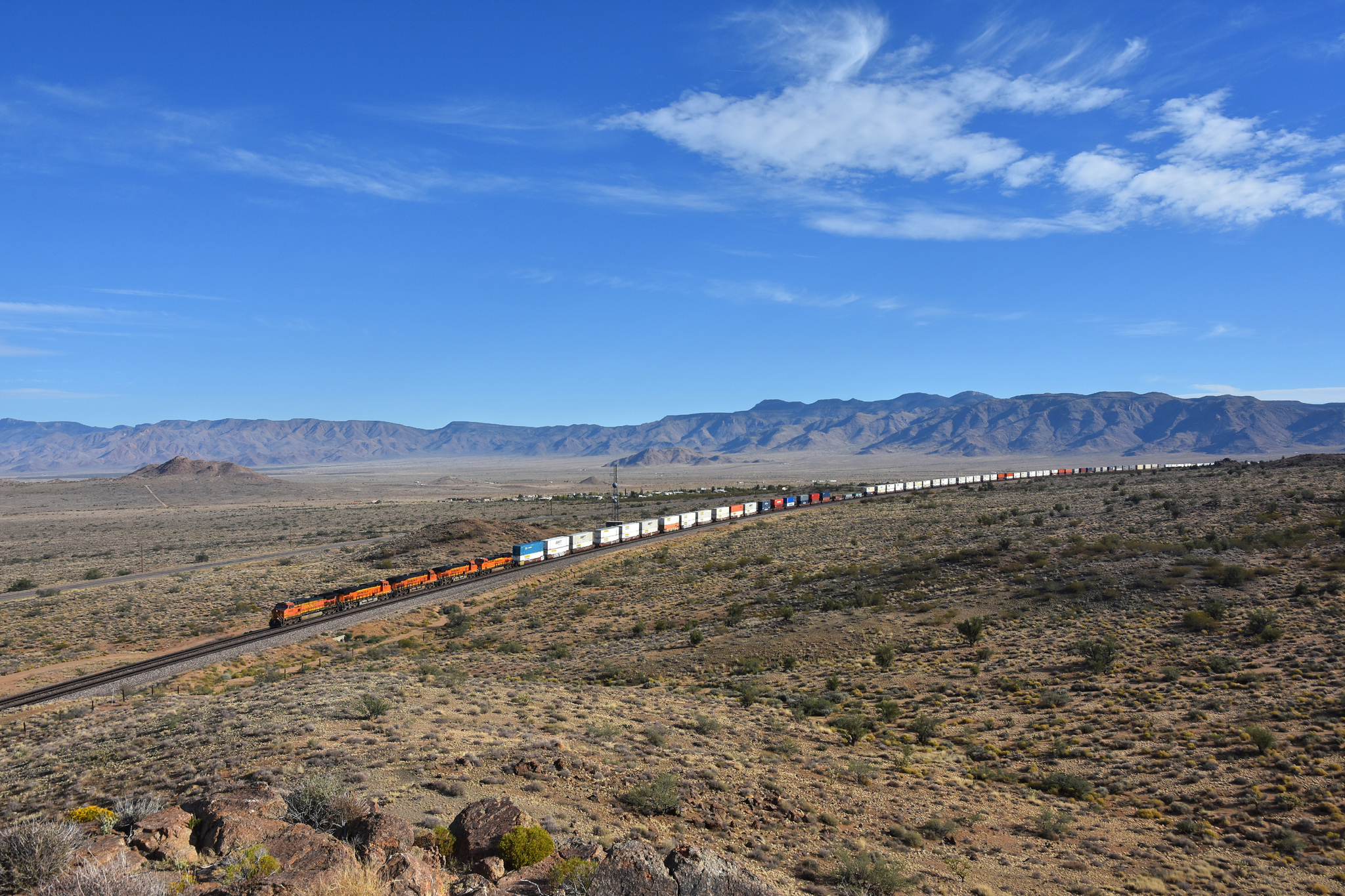
BNSF 5482 west Intermodal, Antares Arizona 16.10.2016

In the Shadow of "Laughing Jack Butte".

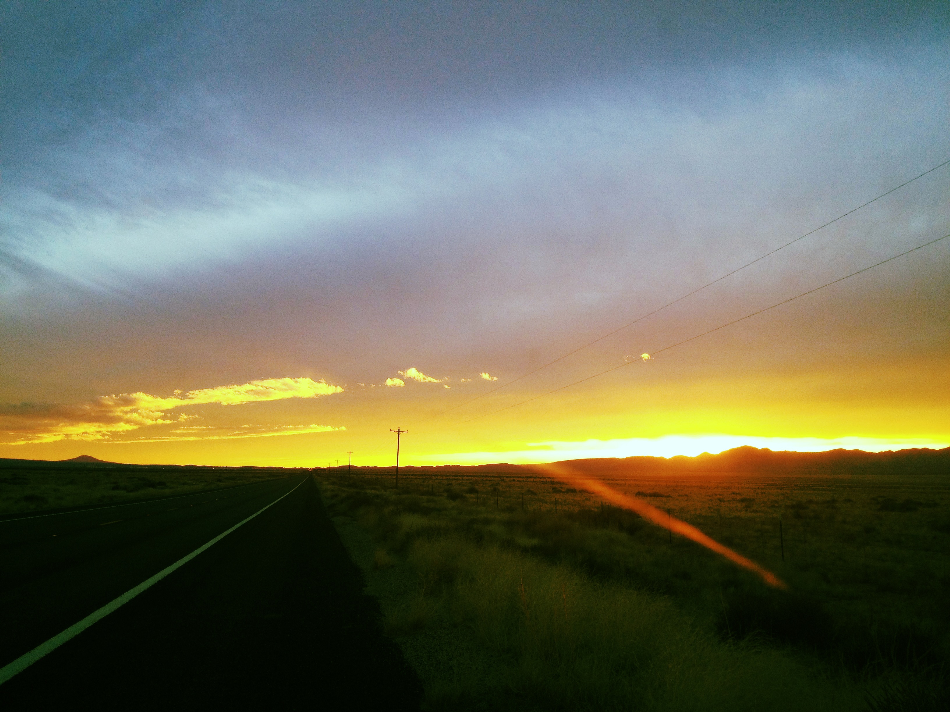
The Sweeping Curve

Looking southwest down Route 66 towards Kingman, Arizona

CR 6162 w, Valentine, AZ. 5-02-1996
not lost, but found

A night catch of Locomotives !

Approaching Crozier Canyon

BNSF 6987 west Intermodal, Valentine Arizona 15.10.2016

Wild West_018

Wild West_019

Wild West_020

Wild West_021

Wild West_023

Wild West_022

Wild West_024

Wild West_017
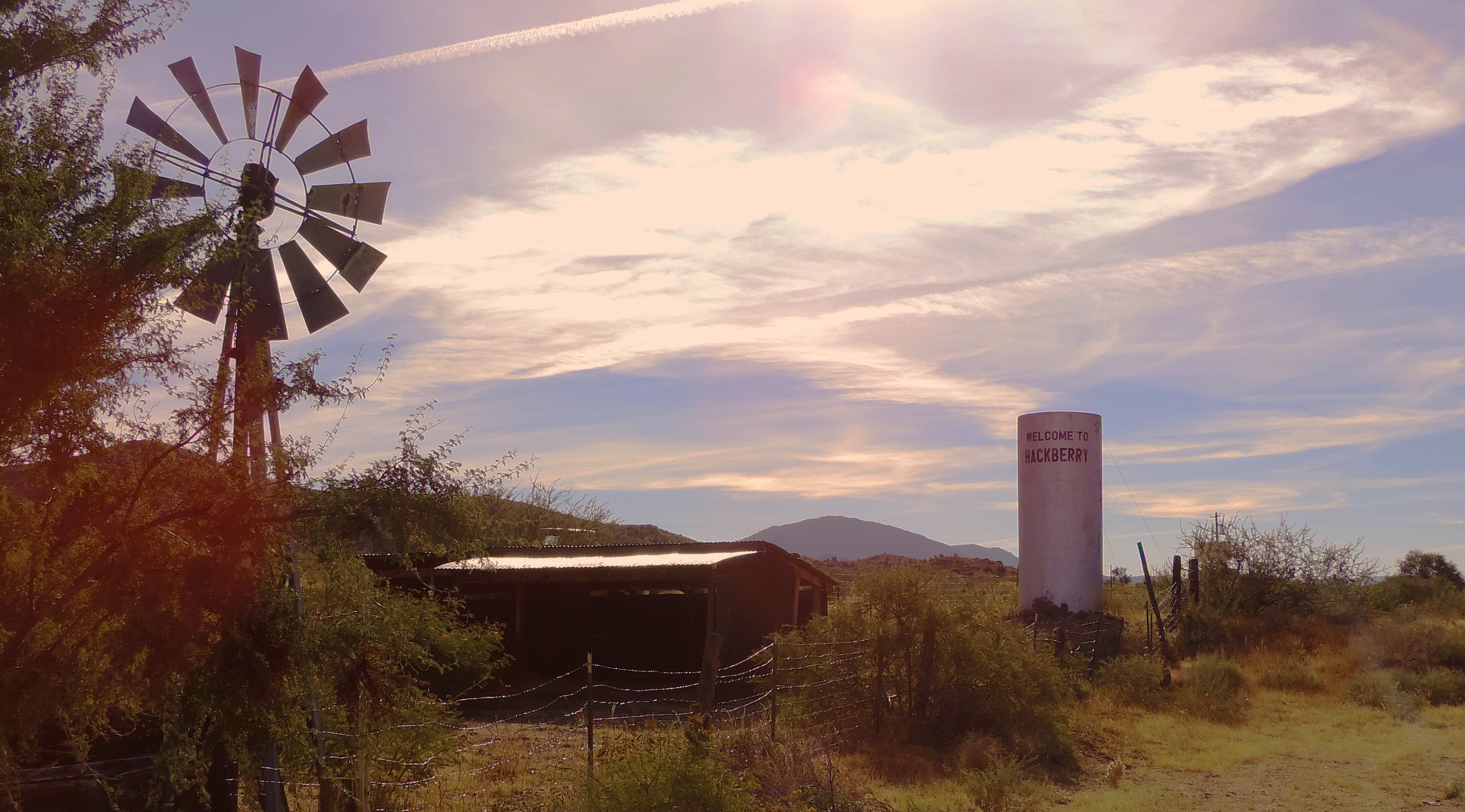
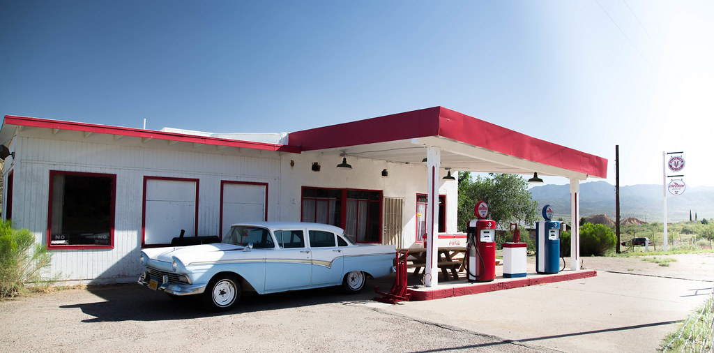
Hackberry, AZ - HWW
Crossing the Wash!

morning drive

Tom and Greg
E Bluebird Ln, Kingman, AZ アメリカ合衆国の地図
別の場所を検索
近所の場所
アメリカ合衆国 〒 アリゾナ州 アンタレス
N Bridlebit Ave, Kingman, AZ アメリカ合衆国
Cerro Dr, Kingman, AZ アメリカ合衆国
Vista Dr, Kingman, AZ アメリカ合衆国
Broken Rock Dr, Kingman, AZ アメリカ合衆国
Brigade Dr, Kingman, AZ アメリカ合衆国
Concho Dr, Kingman, AZ アメリカ合衆国ヴァジェ・ビスタ・カントリー・クラブ & ゴルフ・コース
Monument Dr, Kingman, AZ アメリカ合衆国
E Five Wells Rd, Kingman, AZ アメリカ合衆国
アメリカ合衆国 〒 アリゾナ州 ハックベリー
E Amber Ct, Hackberry, AZ アメリカ合衆国
N Corral Rd, Kingman, AZ アメリカ合衆国
アメリカ合衆国 〒 アリゾナ州 ウォーロパイ
アメリカ合衆国 〒 アリゾナ州 バレンタイン
AZ-66, Valentine, AZ アメリカ合衆国
アメリカ合衆国 アリゾナ州 モハーヴェ
E Blake Ranch Rd, Kingman, AZ アメリカ合衆国
E Dubois Dr, Arizona アメリカ合衆国イースト・デュボア・ドライブ
アメリカ合衆国 〒 アリゾナ州 トラックストン
AZ-66, Kingman, AZ アメリカ合衆国
最近の検索
- アメリカ合衆国 アラスカ州 レッド・ドッグ・マイン日の出日の入り時間
- Am bhf, Borken, ドイツアム・バーンホーフ日の出日の入り時間
- 4th St E, Sonoma, CA, USA日の出日の入り時間
- Oakland Ave, Williamsport, PA アメリカ合衆国日の出日の入り時間
- Via Roma, Pieranica CR, イタリアローマ通り日の出日の入り時間
- クロアチア 〒 ドゥブロブニク GradClock Tower of Dubrovnik日の出日の入り時間
- アルゼンチン チュブ州 トレリュー日の出日の入り時間
- Hartfords Bluff Cir, Mt Pleasant, SC アメリカ合衆国日の出日の入り時間
- 日本、熊本県熊本市北区日の出日の入り時間
- 中華人民共和国 福州市 平潭県 平潭島日の出日の入り時間