Cotton Rd, Los Banos, CA アメリカ合衆国日の出日の入り時間
Location: アメリカ合衆国 > カリフォルニア州 > マーセド > アメリカ合衆国 カリフォルニア州 ロス・バナス >
時間帯:
America/Los_Angeles
現地時間:
2025-06-25 13:58:55
経度:
-120.7920259
緯度:
37.0124519
今日の日の出時刻:
05:45:28 AM
今日の日の入時刻:
08:26:57 PM
今日の日長:
14h 41m 29s
明日の日の出時刻:
05:45:51 AM
明日の日の入時刻:
08:27:00 PM
明日の日長:
14h 41m 9s
すべて表示する
| 日付 | 日出 | 日没 | 日長 |
|---|---|---|---|
| 2025年01月01日 | 07:16:35 AM | 04:58:12 PM | 9h 41m 37s |
| 2025年01月02日 | 07:16:41 AM | 04:59:01 PM | 9h 42m 20s |
| 2025年01月03日 | 07:16:45 AM | 04:59:52 PM | 9h 43m 7s |
| 2025年01月04日 | 07:16:46 AM | 05:00:43 PM | 9h 43m 57s |
| 2025年01月05日 | 07:16:46 AM | 05:01:36 PM | 9h 44m 50s |
| 2025年01月06日 | 07:16:43 AM | 05:02:30 PM | 9h 45m 47s |
| 2025年01月07日 | 07:16:39 AM | 05:03:25 PM | 9h 46m 46s |
| 2025年01月08日 | 07:16:32 AM | 05:04:21 PM | 9h 47m 49s |
| 2025年01月09日 | 07:16:24 AM | 05:05:18 PM | 9h 48m 54s |
| 2025年01月10日 | 07:16:13 AM | 05:06:16 PM | 9h 50m 3s |
| 2025年01月11日 | 07:16:01 AM | 05:07:15 PM | 9h 51m 14s |
| 2025年01月12日 | 07:15:46 AM | 05:08:14 PM | 9h 52m 28s |
| 2025年01月13日 | 07:15:30 AM | 05:09:14 PM | 9h 53m 44s |
| 2025年01月14日 | 07:15:11 AM | 05:10:15 PM | 9h 55m 4s |
| 2025年01月15日 | 07:14:50 AM | 05:11:16 PM | 9h 56m 26s |
| 2025年01月16日 | 07:14:28 AM | 05:12:18 PM | 9h 57m 50s |
| 2025年01月17日 | 07:14:03 AM | 05:13:20 PM | 9h 59m 17s |
| 2025年01月18日 | 07:13:37 AM | 05:14:23 PM | 10h 0m 46s |
| 2025年01月19日 | 07:13:09 AM | 05:15:26 PM | 10h 2m 17s |
| 2025年01月20日 | 07:12:39 AM | 05:16:30 PM | 10h 3m 51s |
| 2025年01月21日 | 07:12:06 AM | 05:17:34 PM | 10h 5m 28s |
| 2025年01月22日 | 07:11:33 AM | 05:18:38 PM | 10h 7m 5s |
| 2025年01月23日 | 07:10:57 AM | 05:19:43 PM | 10h 8m 46s |
| 2025年01月24日 | 07:10:19 AM | 05:20:48 PM | 10h 10m 29s |
| 2025年01月25日 | 07:09:40 AM | 05:21:53 PM | 10h 12m 13s |
| 2025年01月26日 | 07:08:59 AM | 05:22:58 PM | 10h 13m 59s |
| 2025年01月27日 | 07:08:16 AM | 05:24:03 PM | 10h 15m 47s |
| 2025年01月28日 | 07:07:31 AM | 05:25:08 PM | 10h 17m 37s |
| 2025年01月29日 | 07:06:45 AM | 05:26:14 PM | 10h 19m 29s |
| 2025年01月30日 | 07:05:57 AM | 05:27:19 PM | 10h 21m 22s |
| 2025年01月31日 | 07:05:08 AM | 05:28:24 PM | 10h 23m 16s |
| 2025年02月01日 | 07:04:17 AM | 05:29:30 PM | 10h 25m 13s |
| 2025年02月02日 | 07:03:24 AM | 05:30:35 PM | 10h 27m 11s |
| 2025年02月03日 | 07:02:30 AM | 05:31:40 PM | 10h 29m 10s |
| 2025年02月04日 | 07:01:35 AM | 05:32:45 PM | 10h 31m 10s |
| 2025年02月05日 | 07:00:38 AM | 05:33:50 PM | 10h 33m 12s |
| 2025年02月06日 | 06:59:39 AM | 05:34:54 PM | 10h 35m 15s |
| 2025年02月07日 | 06:58:39 AM | 05:35:59 PM | 10h 37m 20s |
| 2025年02月08日 | 06:57:38 AM | 05:37:03 PM | 10h 39m 25s |
| 2025年02月09日 | 06:56:35 AM | 05:38:07 PM | 10h 41m 32s |
| 2025年02月10日 | 06:55:32 AM | 05:39:11 PM | 10h 43m 39s |
| 2025年02月11日 | 06:54:26 AM | 05:40:15 PM | 10h 45m 49s |
| 2025年02月12日 | 06:53:20 AM | 05:41:18 PM | 10h 47m 58s |
| 2025年02月13日 | 06:52:12 AM | 05:42:21 PM | 10h 50m 9s |
| 2025年02月14日 | 06:51:04 AM | 05:43:24 PM | 10h 52m 20s |
| 2025年02月15日 | 06:49:54 AM | 05:44:26 PM | 10h 54m 32s |
| 2025年02月16日 | 06:48:43 AM | 05:45:28 PM | 10h 56m 45s |
| 2025年02月17日 | 06:47:31 AM | 05:46:30 PM | 10h 58m 59s |
| 2025年02月18日 | 06:46:18 AM | 05:47:32 PM | 11h 1m 14s |
| 2025年02月19日 | 06:45:04 AM | 05:48:33 PM | 11h 3m 29s |
| 2025年02月20日 | 06:43:48 AM | 05:49:34 PM | 11h 5m 46s |
| 2025年02月21日 | 06:42:32 AM | 05:50:35 PM | 11h 8m 3s |
| 2025年02月22日 | 06:41:16 AM | 05:51:35 PM | 11h 10m 19s |
| 2025年02月23日 | 06:39:58 AM | 05:52:35 PM | 11h 12m 37s |
| 2025年02月24日 | 06:38:39 AM | 05:53:34 PM | 11h 14m 55s |
| 2025年02月25日 | 06:37:20 AM | 05:54:34 PM | 11h 17m 14s |
| 2025年02月26日 | 06:35:59 AM | 05:55:33 PM | 11h 19m 34s |
| 2025年02月27日 | 06:34:38 AM | 05:56:31 PM | 11h 21m 53s |
| 2025年02月28日 | 06:33:17 AM | 05:57:30 PM | 11h 24m 13s |
| 2025年03月01日 | 06:31:54 AM | 05:58:28 PM | 11h 26m 34s |
| 2025年03月02日 | 06:30:31 AM | 05:59:25 PM | 11h 28m 54s |
| 2025年03月03日 | 06:29:08 AM | 06:00:23 PM | 11h 31m 15s |
| 2025年03月04日 | 06:27:44 AM | 06:01:20 PM | 11h 33m 36s |
| 2025年03月05日 | 06:26:19 AM | 06:02:17 PM | 11h 35m 58s |
| 2025年03月06日 | 06:24:54 AM | 06:03:13 PM | 11h 38m 19s |
| 2025年03月07日 | 06:23:28 AM | 06:04:10 PM | 11h 40m 42s |
| 2025年03月08日 | 06:22:02 AM | 06:05:06 PM | 11h 43m 4s |
| 2025年03月09日 | 07:20:39 AM | 07:05:59 PM | 11h 45m 20s |
| 2025年03月10日 | 07:19:12 AM | 07:06:55 PM | 11h 47m 43s |
| 2025年03月11日 | 07:17:44 AM | 07:07:50 PM | 11h 50m 6s |
| 2025年03月12日 | 07:16:17 AM | 07:08:45 PM | 11h 52m 28s |
| 2025年03月13日 | 07:14:49 AM | 07:09:40 PM | 11h 54m 51s |
| 2025年03月14日 | 07:13:20 AM | 07:10:34 PM | 11h 57m 14s |
| 2025年03月15日 | 07:11:52 AM | 07:11:29 PM | 11h 59m 37s |
| 2025年03月16日 | 07:10:23 AM | 07:12:23 PM | 12h 2m 0s |
| 2025年03月17日 | 07:08:54 AM | 07:13:17 PM | 12h 4m 23s |
| 2025年03月18日 | 07:07:25 AM | 07:14:11 PM | 12h 6m 46s |
| 2025年03月19日 | 07:05:56 AM | 07:15:05 PM | 12h 9m 9s |
| 2025年03月20日 | 07:04:26 AM | 07:15:59 PM | 12h 11m 33s |
| 2025年03月21日 | 07:02:57 AM | 07:16:52 PM | 12h 13m 55s |
| 2025年03月22日 | 07:01:28 AM | 07:17:46 PM | 12h 16m 18s |
| 2025年03月23日 | 06:59:58 AM | 07:18:39 PM | 12h 18m 41s |
| 2025年03月24日 | 06:58:29 AM | 07:19:32 PM | 12h 21m 3s |
| 2025年03月25日 | 06:57:00 AM | 07:20:25 PM | 12h 23m 25s |
| 2025年03月26日 | 06:55:30 AM | 07:21:18 PM | 12h 25m 48s |
| 2025年03月27日 | 06:54:01 AM | 07:22:11 PM | 12h 28m 10s |
| 2025年03月28日 | 06:52:32 AM | 07:23:04 PM | 12h 30m 32s |
| 2025年03月29日 | 06:51:03 AM | 07:23:57 PM | 12h 32m 54s |
| 2025年03月30日 | 06:49:35 AM | 07:24:50 PM | 12h 35m 15s |
| 2025年03月31日 | 06:48:06 AM | 07:25:43 PM | 12h 37m 37s |
| 2025年04月01日 | 06:46:38 AM | 07:26:35 PM | 12h 39m 57s |
| 2025年04月02日 | 06:45:10 AM | 07:27:28 PM | 12h 42m 18s |
| 2025年04月03日 | 06:43:43 AM | 07:28:21 PM | 12h 44m 38s |
| 2025年04月04日 | 06:42:16 AM | 07:29:14 PM | 12h 46m 58s |
| 2025年04月05日 | 06:40:49 AM | 07:30:06 PM | 12h 49m 17s |
| 2025年04月06日 | 06:39:23 AM | 07:30:59 PM | 12h 51m 36s |
| 2025年04月07日 | 06:37:57 AM | 07:31:52 PM | 12h 53m 55s |
| 2025年04月08日 | 06:36:31 AM | 07:32:45 PM | 12h 56m 14s |
| 2025年04月09日 | 06:35:06 AM | 07:33:38 PM | 12h 58m 32s |
| 2025年04月10日 | 06:33:42 AM | 07:34:31 PM | 13h 0m 49s |
| 2025年04月11日 | 06:32:18 AM | 07:35:24 PM | 13h 3m 6s |
| 2025年04月12日 | 06:30:55 AM | 07:36:17 PM | 13h 5m 22s |
| 2025年04月13日 | 06:29:32 AM | 07:37:10 PM | 13h 7m 38s |
| 2025年04月14日 | 06:28:10 AM | 07:38:03 PM | 13h 9m 53s |
| 2025年04月15日 | 06:26:49 AM | 07:38:56 PM | 13h 12m 7s |
| 2025年04月16日 | 06:25:28 AM | 07:39:49 PM | 13h 14m 21s |
| 2025年04月17日 | 06:24:08 AM | 07:40:42 PM | 13h 16m 34s |
| 2025年04月18日 | 06:22:49 AM | 07:41:35 PM | 13h 18m 46s |
| 2025年04月19日 | 06:21:31 AM | 07:42:29 PM | 13h 20m 58s |
| 2025年04月20日 | 06:20:13 AM | 07:43:22 PM | 13h 23m 9s |
| 2025年04月21日 | 06:18:57 AM | 07:44:15 PM | 13h 25m 18s |
| 2025年04月22日 | 06:17:41 AM | 07:45:09 PM | 13h 27m 28s |
| 2025年04月23日 | 06:16:26 AM | 07:46:02 PM | 13h 29m 36s |
| 2025年04月24日 | 06:15:12 AM | 07:46:56 PM | 13h 31m 44s |
| 2025年04月25日 | 06:13:59 AM | 07:47:49 PM | 13h 33m 50s |
| 2025年04月26日 | 06:12:47 AM | 07:48:43 PM | 13h 35m 56s |
| 2025年04月27日 | 06:11:36 AM | 07:49:36 PM | 13h 38m 0s |
| 2025年04月28日 | 06:10:27 AM | 07:50:30 PM | 13h 40m 3s |
| 2025年04月29日 | 06:09:18 AM | 07:51:23 PM | 13h 42m 5s |
| 2025年04月30日 | 06:08:10 AM | 07:52:16 PM | 13h 44m 6s |
| 2025年05月01日 | 06:07:04 AM | 07:53:10 PM | 13h 46m 6s |
| 2025年05月02日 | 06:05:58 AM | 07:54:03 PM | 13h 48m 5s |
| 2025年05月03日 | 06:04:54 AM | 07:54:56 PM | 13h 50m 2s |
| 2025年05月04日 | 06:03:51 AM | 07:55:49 PM | 13h 51m 58s |
| 2025年05月05日 | 06:02:50 AM | 07:56:42 PM | 13h 53m 52s |
| 2025年05月06日 | 06:01:50 AM | 07:57:34 PM | 13h 55m 44s |
| 2025年05月07日 | 06:00:50 AM | 07:58:27 PM | 13h 57m 37s |
| 2025年05月08日 | 05:59:53 AM | 07:59:19 PM | 13h 59m 26s |
| 2025年05月09日 | 05:58:57 AM | 08:00:11 PM | 14h 1m 14s |
| 2025年05月10日 | 05:58:02 AM | 08:01:03 PM | 14h 3m 1s |
| 2025年05月11日 | 05:57:08 AM | 08:01:55 PM | 14h 4m 47s |
| 2025年05月12日 | 05:56:16 AM | 08:02:46 PM | 14h 6m 30s |
| 2025年05月13日 | 05:55:25 AM | 08:03:37 PM | 14h 8m 12s |
| 2025年05月14日 | 05:54:36 AM | 08:04:27 PM | 14h 9m 51s |
| 2025年05月15日 | 05:53:49 AM | 08:05:18 PM | 14h 11m 29s |
| 2025年05月16日 | 05:53:03 AM | 08:06:07 PM | 14h 13m 4s |
| 2025年05月17日 | 05:52:18 AM | 08:06:57 PM | 14h 14m 39s |
| 2025年05月18日 | 05:51:35 AM | 08:07:46 PM | 14h 16m 11s |
| 2025年05月19日 | 05:50:54 AM | 08:08:34 PM | 14h 17m 40s |
| 2025年05月20日 | 05:50:14 AM | 08:09:22 PM | 14h 19m 8s |
| 2025年05月21日 | 05:49:36 AM | 08:10:09 PM | 14h 20m 33s |
| 2025年05月22日 | 05:49:00 AM | 08:10:56 PM | 14h 21m 56s |
| 2025年05月23日 | 05:48:25 AM | 08:11:42 PM | 14h 23m 17s |
| 2025年05月24日 | 05:47:52 AM | 08:12:27 PM | 14h 24m 35s |
| 2025年05月25日 | 05:47:20 AM | 08:13:12 PM | 14h 25m 52s |
| 2025年05月26日 | 05:46:50 AM | 08:13:56 PM | 14h 27m 6s |
| 2025年05月27日 | 05:46:22 AM | 08:14:39 PM | 14h 28m 17s |
| 2025年05月28日 | 05:45:56 AM | 08:15:21 PM | 14h 29m 25s |
| 2025年05月29日 | 05:45:32 AM | 08:16:02 PM | 14h 30m 30s |
| 2025年05月30日 | 05:45:09 AM | 08:16:42 PM | 14h 31m 33s |
| 2025年05月31日 | 05:44:48 AM | 08:17:22 PM | 14h 32m 34s |
| 2025年06月01日 | 05:44:29 AM | 08:18:00 PM | 14h 33m 31s |
| 2025年06月02日 | 05:44:11 AM | 08:18:38 PM | 14h 34m 27s |
| 2025年06月03日 | 05:43:55 AM | 08:19:14 PM | 14h 35m 19s |
| 2025年06月04日 | 05:43:41 AM | 08:19:50 PM | 14h 36m 9s |
| 2025年06月05日 | 05:43:29 AM | 08:20:24 PM | 14h 36m 55s |
| 2025年06月06日 | 05:43:19 AM | 08:20:57 PM | 14h 37m 38s |
| 2025年06月07日 | 05:43:10 AM | 08:21:29 PM | 14h 38m 19s |
| 2025年06月08日 | 05:43:03 AM | 08:21:59 PM | 14h 38m 56s |
| 2025年06月09日 | 05:42:58 AM | 08:22:28 PM | 14h 39m 30s |
| 2025年06月10日 | 05:42:54 AM | 08:22:56 PM | 14h 40m 2s |
| 2025年06月11日 | 05:42:52 AM | 08:23:23 PM | 14h 40m 31s |
| 2025年06月12日 | 05:42:52 AM | 08:23:48 PM | 14h 40m 56s |
| 2025年06月13日 | 05:42:54 AM | 08:24:12 PM | 14h 41m 18s |
| 2025年06月14日 | 05:42:57 AM | 08:24:34 PM | 14h 41m 37s |
| 2025年06月15日 | 05:43:02 AM | 08:24:55 PM | 14h 41m 53s |
| 2025年06月16日 | 05:43:09 AM | 08:25:14 PM | 14h 42m 5s |
| 2025年06月17日 | 05:43:17 AM | 08:25:32 PM | 14h 42m 15s |
| 2025年06月18日 | 05:43:27 AM | 08:25:48 PM | 14h 42m 21s |
| 2025年06月19日 | 05:43:39 AM | 08:26:03 PM | 14h 42m 24s |
| 2025年06月20日 | 05:43:52 AM | 08:26:16 PM | 14h 42m 24s |
| 2025年06月21日 | 05:44:07 AM | 08:26:27 PM | 14h 42m 20s |
| 2025年06月22日 | 05:44:23 AM | 08:26:37 PM | 14h 42m 14s |
| 2025年06月23日 | 05:44:41 AM | 08:26:45 PM | 14h 42m 4s |
| 2025年06月24日 | 05:45:00 AM | 08:26:51 PM | 14h 41m 51s |
| 2025年06月25日 | 05:45:20 AM | 08:26:56 PM | 14h 41m 36s |
| 2025年06月26日 | 05:45:42 AM | 08:26:59 PM | 14h 41m 17s |
| 2025年06月27日 | 05:46:06 AM | 08:27:00 PM | 14h 40m 54s |
| 2025年06月28日 | 05:46:30 AM | 08:26:59 PM | 14h 40m 29s |
| 2025年06月29日 | 05:46:56 AM | 08:26:57 PM | 14h 40m 1s |
| 2025年06月30日 | 05:47:24 AM | 08:26:53 PM | 14h 39m 29s |
| 2025年07月01日 | 05:47:52 AM | 08:26:47 PM | 14h 38m 55s |
| 2025年07月02日 | 05:48:22 AM | 08:26:39 PM | 14h 38m 17s |
| 2025年07月03日 | 05:48:53 AM | 08:26:30 PM | 14h 37m 37s |
| 2025年07月04日 | 05:49:25 AM | 08:26:18 PM | 14h 36m 53s |
| 2025年07月05日 | 05:49:58 AM | 08:26:05 PM | 14h 36m 7s |
| 2025年07月06日 | 05:50:32 AM | 08:25:50 PM | 14h 35m 18s |
| 2025年07月07日 | 05:51:07 AM | 08:25:33 PM | 14h 34m 26s |
| 2025年07月08日 | 05:51:44 AM | 08:25:15 PM | 14h 33m 31s |
| 2025年07月09日 | 05:52:21 AM | 08:24:55 PM | 14h 32m 34s |
| 2025年07月10日 | 05:52:59 AM | 08:24:32 PM | 14h 31m 33s |
| 2025年07月11日 | 05:53:38 AM | 08:24:08 PM | 14h 30m 30s |
| 2025年07月12日 | 05:54:18 AM | 08:23:43 PM | 14h 29m 25s |
| 2025年07月13日 | 05:54:58 AM | 08:23:15 PM | 14h 28m 17s |
| 2025年07月14日 | 05:55:40 AM | 08:22:46 PM | 14h 27m 6s |
| 2025年07月15日 | 05:56:22 AM | 08:22:15 PM | 14h 25m 53s |
| 2025年07月16日 | 05:57:04 AM | 08:21:42 PM | 14h 24m 38s |
| 2025年07月17日 | 05:57:48 AM | 08:21:08 PM | 14h 23m 20s |
| 2025年07月18日 | 05:58:32 AM | 08:20:32 PM | 14h 22m 0s |
| 2025年07月19日 | 05:59:16 AM | 08:19:54 PM | 14h 20m 38s |
| 2025年07月20日 | 06:00:01 AM | 08:19:15 PM | 14h 19m 14s |
| 2025年07月21日 | 06:00:47 AM | 08:18:33 PM | 14h 17m 46s |
| 2025年07月22日 | 06:01:33 AM | 08:17:51 PM | 14h 16m 18s |
| 2025年07月23日 | 06:02:20 AM | 08:17:06 PM | 14h 14m 46s |
| 2025年07月24日 | 06:03:06 AM | 08:16:20 PM | 14h 13m 14s |
| 2025年07月25日 | 06:03:54 AM | 08:15:33 PM | 14h 11m 39s |
| 2025年07月26日 | 06:04:41 AM | 08:14:44 PM | 14h 10m 3s |
| 2025年07月27日 | 06:05:29 AM | 08:13:53 PM | 14h 8m 24s |
| 2025年07月28日 | 06:06:18 AM | 08:13:01 PM | 14h 6m 43s |
| 2025年07月29日 | 06:07:06 AM | 08:12:07 PM | 14h 5m 1s |
| 2025年07月30日 | 06:07:55 AM | 08:11:12 PM | 14h 3m 17s |
| 2025年07月31日 | 06:08:44 AM | 08:10:16 PM | 14h 1m 32s |
| 2025年08月01日 | 06:09:33 AM | 08:09:18 PM | 13h 59m 45s |
| 2025年08月02日 | 06:10:22 AM | 08:08:19 PM | 13h 57m 57s |
| 2025年08月03日 | 06:11:12 AM | 08:07:18 PM | 13h 56m 6s |
| 2025年08月04日 | 06:12:01 AM | 08:06:16 PM | 13h 54m 15s |
| 2025年08月05日 | 06:12:51 AM | 08:05:13 PM | 13h 52m 22s |
| 2025年08月06日 | 06:13:41 AM | 08:04:08 PM | 13h 50m 27s |
| 2025年08月07日 | 06:14:31 AM | 08:03:02 PM | 13h 48m 31s |
| 2025年08月08日 | 06:15:21 AM | 08:01:56 PM | 13h 46m 35s |
| 2025年08月09日 | 06:16:11 AM | 08:00:47 PM | 13h 44m 36s |
| 2025年08月10日 | 06:17:01 AM | 07:59:38 PM | 13h 42m 37s |
| 2025年08月11日 | 06:17:50 AM | 07:58:28 PM | 13h 40m 38s |
| 2025年08月12日 | 06:18:40 AM | 07:57:16 PM | 13h 38m 36s |
| 2025年08月13日 | 06:19:30 AM | 07:56:04 PM | 13h 36m 34s |
| 2025年08月14日 | 06:20:20 AM | 07:54:50 PM | 13h 34m 30s |
| 2025年08月15日 | 06:21:10 AM | 07:53:35 PM | 13h 32m 25s |
| 2025年08月16日 | 06:22:00 AM | 07:52:20 PM | 13h 30m 20s |
| 2025年08月17日 | 06:22:50 AM | 07:51:03 PM | 13h 28m 13s |
| 2025年08月18日 | 06:23:39 AM | 07:49:45 PM | 13h 26m 6s |
| 2025年08月19日 | 06:24:29 AM | 07:48:27 PM | 13h 23m 58s |
| 2025年08月20日 | 06:25:18 AM | 07:47:08 PM | 13h 21m 50s |
| 2025年08月21日 | 06:26:08 AM | 07:45:48 PM | 13h 19m 40s |
| 2025年08月22日 | 06:26:57 AM | 07:44:27 PM | 13h 17m 30s |
| 2025年08月23日 | 06:27:47 AM | 07:43:05 PM | 13h 15m 18s |
| 2025年08月24日 | 06:28:36 AM | 07:41:43 PM | 13h 13m 7s |
| 2025年08月25日 | 06:29:25 AM | 07:40:19 PM | 13h 10m 54s |
| 2025年08月26日 | 06:30:14 AM | 07:38:56 PM | 13h 8m 42s |
| 2025年08月27日 | 06:31:03 AM | 07:37:31 PM | 13h 6m 28s |
| 2025年08月28日 | 06:31:52 AM | 07:36:06 PM | 13h 4m 14s |
| 2025年08月29日 | 06:32:41 AM | 07:34:40 PM | 13h 1m 59s |
| 2025年08月30日 | 06:33:30 AM | 07:33:14 PM | 12h 59m 44s |
| 2025年08月31日 | 06:34:18 AM | 07:31:47 PM | 12h 57m 29s |
| 2025年09月01日 | 06:35:07 AM | 07:30:20 PM | 12h 55m 13s |
| 2025年09月02日 | 06:35:56 AM | 07:28:52 PM | 12h 52m 56s |
| 2025年09月03日 | 06:36:44 AM | 07:27:24 PM | 12h 50m 40s |
| 2025年09月04日 | 06:37:33 AM | 07:25:55 PM | 12h 48m 22s |
| 2025年09月05日 | 06:38:21 AM | 07:24:26 PM | 12h 46m 5s |
| 2025年09月06日 | 06:39:10 AM | 07:22:56 PM | 12h 43m 46s |
| 2025年09月07日 | 06:39:58 AM | 07:21:26 PM | 12h 41m 28s |
| 2025年09月08日 | 06:40:47 AM | 07:19:56 PM | 12h 39m 9s |
| 2025年09月09日 | 06:41:35 AM | 07:18:26 PM | 12h 36m 51s |
| 2025年09月10日 | 06:42:23 AM | 07:16:55 PM | 12h 34m 32s |
| 2025年09月11日 | 06:43:12 AM | 07:15:24 PM | 12h 32m 12s |
| 2025年09月12日 | 06:44:00 AM | 07:13:53 PM | 12h 29m 53s |
| 2025年09月13日 | 06:44:49 AM | 07:12:22 PM | 12h 27m 33s |
| 2025年09月14日 | 06:45:37 AM | 07:10:50 PM | 12h 25m 13s |
| 2025年09月15日 | 06:46:26 AM | 07:09:19 PM | 12h 22m 53s |
| 2025年09月16日 | 06:47:15 AM | 07:07:47 PM | 12h 20m 32s |
| 2025年09月17日 | 06:48:04 AM | 07:06:16 PM | 12h 18m 12s |
| 2025年09月18日 | 06:48:52 AM | 07:04:44 PM | 12h 15m 52s |
| 2025年09月19日 | 06:49:41 AM | 07:03:12 PM | 12h 13m 31s |
| 2025年09月20日 | 06:50:30 AM | 07:01:41 PM | 12h 11m 11s |
| 2025年09月21日 | 06:51:20 AM | 07:00:09 PM | 12h 8m 49s |
| 2025年09月22日 | 06:52:09 AM | 06:58:38 PM | 12h 6m 29s |
| 2025年09月23日 | 06:52:59 AM | 06:57:06 PM | 12h 4m 7s |
| 2025年09月24日 | 06:53:48 AM | 06:55:35 PM | 12h 1m 47s |
| 2025年09月25日 | 06:54:38 AM | 06:54:04 PM | 11h 59m 26s |
| 2025年09月26日 | 06:55:28 AM | 06:52:33 PM | 11h 57m 5s |
| 2025年09月27日 | 06:56:18 AM | 06:51:03 PM | 11h 54m 45s |
| 2025年09月28日 | 06:57:09 AM | 06:49:32 PM | 11h 52m 23s |
| 2025年09月29日 | 06:57:59 AM | 06:48:03 PM | 11h 50m 4s |
| 2025年09月30日 | 06:58:50 AM | 06:46:33 PM | 11h 47m 43s |
| 2025年10月01日 | 06:59:41 AM | 06:45:04 PM | 11h 45m 23s |
| 2025年10月02日 | 07:00:33 AM | 06:43:35 PM | 11h 43m 2s |
| 2025年10月03日 | 07:01:24 AM | 06:42:06 PM | 11h 40m 42s |
| 2025年10月04日 | 07:02:16 AM | 06:40:38 PM | 11h 38m 22s |
| 2025年10月05日 | 07:03:08 AM | 06:39:11 PM | 11h 36m 3s |
| 2025年10月06日 | 07:04:01 AM | 06:37:44 PM | 11h 33m 43s |
| 2025年10月07日 | 07:04:54 AM | 06:36:17 PM | 11h 31m 23s |
| 2025年10月08日 | 07:05:47 AM | 06:34:51 PM | 11h 29m 4s |
| 2025年10月09日 | 07:06:40 AM | 06:33:26 PM | 11h 26m 46s |
| 2025年10月10日 | 07:07:34 AM | 06:32:01 PM | 11h 24m 27s |
| 2025年10月11日 | 07:08:28 AM | 06:30:37 PM | 11h 22m 9s |
| 2025年10月12日 | 07:09:22 AM | 06:29:14 PM | 11h 19m 52s |
| 2025年10月13日 | 07:10:17 AM | 06:27:52 PM | 11h 17m 35s |
| 2025年10月14日 | 07:11:12 AM | 06:26:30 PM | 11h 15m 18s |
| 2025年10月15日 | 07:12:07 AM | 06:25:09 PM | 11h 13m 2s |
| 2025年10月16日 | 07:13:03 AM | 06:23:49 PM | 11h 10m 46s |
| 2025年10月17日 | 07:13:59 AM | 06:22:29 PM | 11h 8m 30s |
| 2025年10月18日 | 07:14:56 AM | 06:21:11 PM | 11h 6m 15s |
| 2025年10月19日 | 07:15:53 AM | 06:19:53 PM | 11h 4m 0s |
| 2025年10月20日 | 07:16:50 AM | 06:18:37 PM | 11h 1m 47s |
| 2025年10月21日 | 07:17:47 AM | 06:17:21 PM | 10h 59m 34s |
| 2025年10月22日 | 07:18:45 AM | 06:16:07 PM | 10h 57m 22s |
| 2025年10月23日 | 07:19:43 AM | 06:14:53 PM | 10h 55m 10s |
| 2025年10月24日 | 07:20:42 AM | 06:13:41 PM | 10h 52m 59s |
| 2025年10月25日 | 07:21:41 AM | 06:12:30 PM | 10h 50m 49s |
| 2025年10月26日 | 07:22:40 AM | 06:11:20 PM | 10h 48m 40s |
| 2025年10月27日 | 07:23:39 AM | 06:10:11 PM | 10h 46m 32s |
| 2025年10月28日 | 07:24:39 AM | 06:09:03 PM | 10h 44m 24s |
| 2025年10月29日 | 07:25:39 AM | 06:07:57 PM | 10h 42m 18s |
| 2025年10月30日 | 07:26:39 AM | 06:06:52 PM | 10h 40m 13s |
| 2025年10月31日 | 07:27:40 AM | 06:05:48 PM | 10h 38m 8s |
| 2025年11月01日 | 07:28:41 AM | 06:04:45 PM | 10h 36m 4s |
| 2025年11月02日 | 06:29:45 AM | 05:03:42 PM | 10h 33m 57s |
| 2025年11月03日 | 06:30:46 AM | 05:02:42 PM | 10h 31m 56s |
| 2025年11月04日 | 06:31:48 AM | 05:01:44 PM | 10h 29m 56s |
| 2025年11月05日 | 06:32:49 AM | 05:00:47 PM | 10h 27m 58s |
| 2025年11月06日 | 06:33:51 AM | 04:59:52 PM | 10h 26m 1s |
| 2025年11月07日 | 06:34:53 AM | 04:58:58 PM | 10h 24m 5s |
| 2025年11月08日 | 06:35:56 AM | 04:58:06 PM | 10h 22m 10s |
| 2025年11月09日 | 06:36:58 AM | 04:57:16 PM | 10h 20m 18s |
| 2025年11月10日 | 06:38:00 AM | 04:56:27 PM | 10h 18m 27s |
| 2025年11月11日 | 06:39:02 AM | 04:55:40 PM | 10h 16m 38s |
| 2025年11月12日 | 06:40:05 AM | 04:54:54 PM | 10h 14m 49s |
| 2025年11月13日 | 06:41:07 AM | 04:54:11 PM | 10h 13m 4s |
| 2025年11月14日 | 06:42:09 AM | 04:53:29 PM | 10h 11m 20s |
| 2025年11月15日 | 06:43:12 AM | 04:52:49 PM | 10h 9m 37s |
| 2025年11月16日 | 06:44:14 AM | 04:52:10 PM | 10h 7m 56s |
| 2025年11月17日 | 06:45:16 AM | 04:51:34 PM | 10h 6m 18s |
| 2025年11月18日 | 06:46:17 AM | 04:50:59 PM | 10h 4m 42s |
| 2025年11月19日 | 06:47:19 AM | 04:50:26 PM | 10h 3m 7s |
| 2025年11月20日 | 06:48:20 AM | 04:49:55 PM | 10h 1m 35s |
| 2025年11月21日 | 06:49:21 AM | 04:49:26 PM | 10h 0m 5s |
| 2025年11月22日 | 06:50:21 AM | 04:48:59 PM | 9h 58m 38s |
| 2025年11月23日 | 06:51:21 AM | 04:48:34 PM | 9h 57m 13s |
| 2025年11月24日 | 06:52:21 AM | 04:48:11 PM | 9h 55m 50s |
| 2025年11月25日 | 06:53:20 AM | 04:47:50 PM | 9h 54m 30s |
| 2025年11月26日 | 06:54:18 AM | 04:47:30 PM | 9h 53m 12s |
| 2025年11月27日 | 06:55:16 AM | 04:47:13 PM | 9h 51m 57s |
| 2025年11月28日 | 06:56:14 AM | 04:46:58 PM | 9h 50m 44s |
| 2025年11月29日 | 06:57:10 AM | 04:46:45 PM | 9h 49m 35s |
| 2025年11月30日 | 06:58:06 AM | 04:46:34 PM | 9h 48m 28s |
| 2025年12月01日 | 06:59:01 AM | 04:46:25 PM | 9h 47m 24s |
| 2025年12月02日 | 06:59:55 AM | 04:46:18 PM | 9h 46m 23s |
| 2025年12月03日 | 07:00:48 AM | 04:46:14 PM | 9h 45m 26s |
| 2025年12月04日 | 07:01:41 AM | 04:46:11 PM | 9h 44m 30s |
| 2025年12月05日 | 07:02:32 AM | 04:46:10 PM | 9h 43m 38s |
| 2025年12月06日 | 07:03:22 AM | 04:46:12 PM | 9h 42m 50s |
| 2025年12月07日 | 07:04:12 AM | 04:46:15 PM | 9h 42m 3s |
| 2025年12月08日 | 07:05:00 AM | 04:46:21 PM | 9h 41m 21s |
| 2025年12月09日 | 07:05:46 AM | 04:46:28 PM | 9h 40m 42s |
| 2025年12月10日 | 07:06:32 AM | 04:46:38 PM | 9h 40m 6s |
| 2025年12月11日 | 07:07:16 AM | 04:46:50 PM | 9h 39m 34s |
| 2025年12月12日 | 07:07:59 AM | 04:47:04 PM | 9h 39m 5s |
| 2025年12月13日 | 07:08:41 AM | 04:47:19 PM | 9h 38m 38s |
| 2025年12月14日 | 07:09:21 AM | 04:47:37 PM | 9h 38m 16s |
| 2025年12月15日 | 07:09:59 AM | 04:47:56 PM | 9h 37m 57s |
| 2025年12月16日 | 07:10:36 AM | 04:48:18 PM | 9h 37m 42s |
| 2025年12月17日 | 07:11:12 AM | 04:48:42 PM | 9h 37m 30s |
| 2025年12月18日 | 07:11:46 AM | 04:49:07 PM | 9h 37m 21s |
| 2025年12月19日 | 07:12:18 AM | 04:49:34 PM | 9h 37m 16s |
| 2025年12月20日 | 07:12:49 AM | 04:50:03 PM | 9h 37m 14s |
| 2025年12月21日 | 07:13:18 AM | 04:50:34 PM | 9h 37m 16s |
| 2025年12月22日 | 07:13:45 AM | 04:51:06 PM | 9h 37m 21s |
| 2025年12月23日 | 07:14:10 AM | 04:51:41 PM | 9h 37m 31s |
| 2025年12月24日 | 07:14:34 AM | 04:52:17 PM | 9h 37m 43s |
| 2025年12月25日 | 07:14:55 AM | 04:52:54 PM | 9h 37m 59s |
| 2025年12月26日 | 07:15:15 AM | 04:53:33 PM | 9h 38m 18s |
| 2025年12月27日 | 07:15:33 AM | 04:54:14 PM | 9h 38m 41s |
| 2025年12月28日 | 07:15:49 AM | 04:54:56 PM | 9h 39m 7s |
| 2025年12月29日 | 07:16:03 AM | 04:55:40 PM | 9h 39m 37s |
| 2025年12月30日 | 07:16:15 AM | 04:56:25 PM | 9h 40m 10s |
| 2025年12月31日 | 07:16:25 AM | 04:57:12 PM | 9h 40m 47s |
写真

Water is life
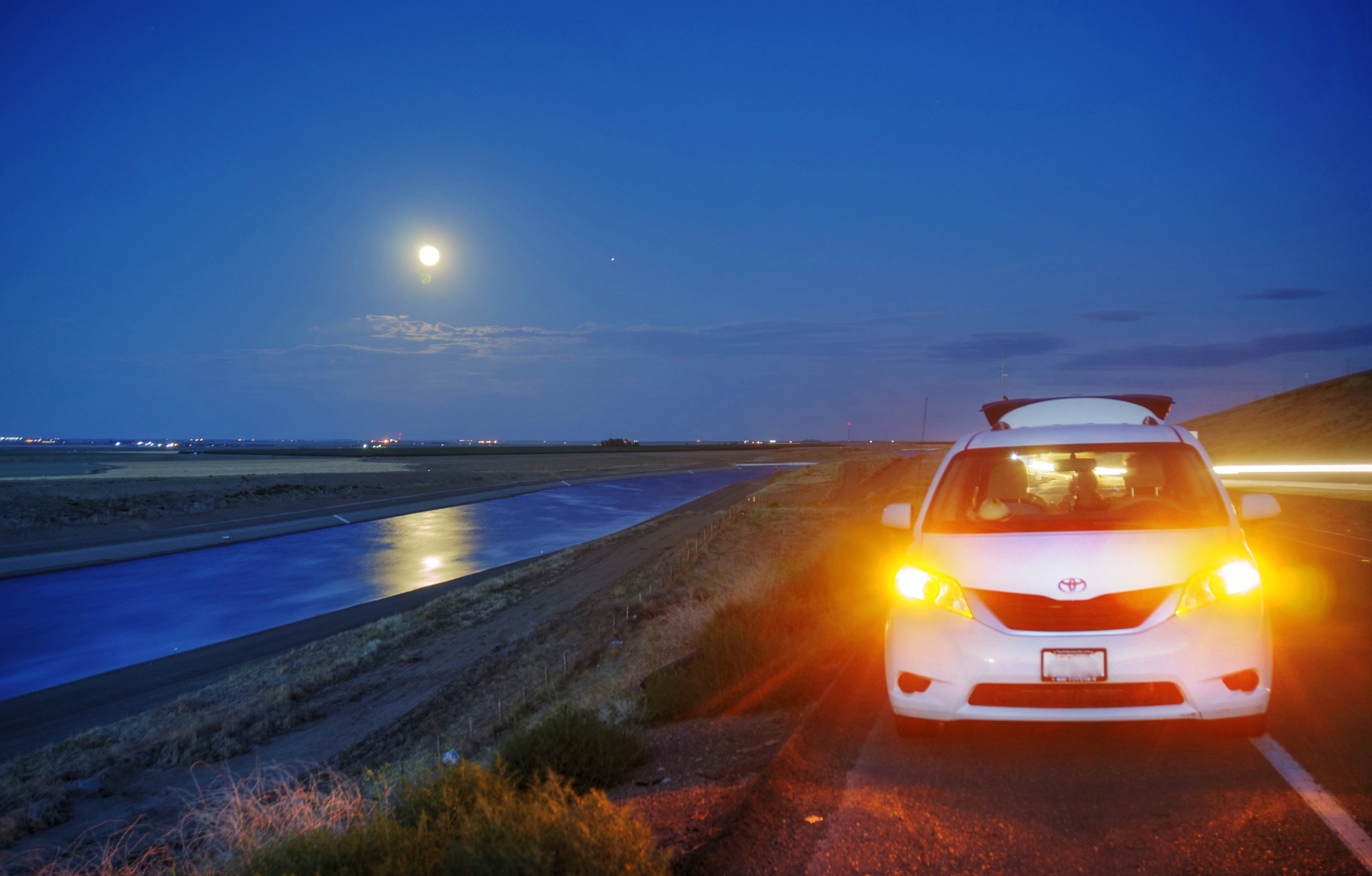
Moonlight over the rest stop

Los Banos, California

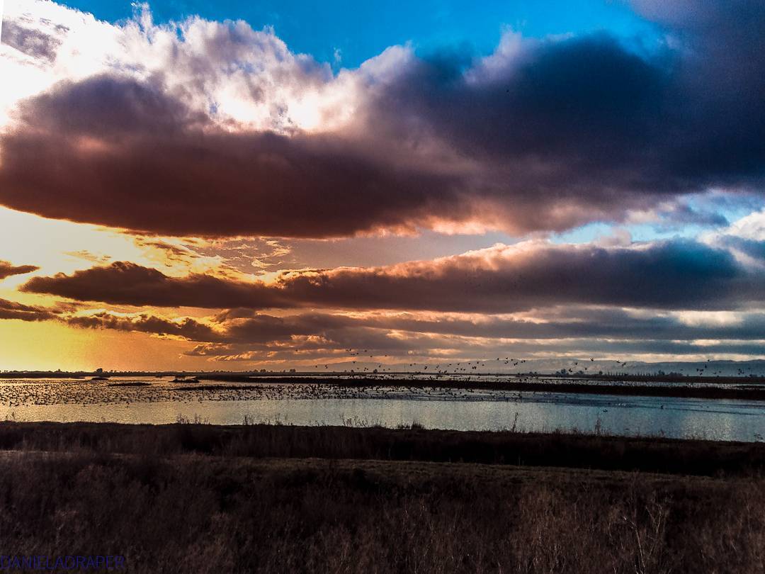
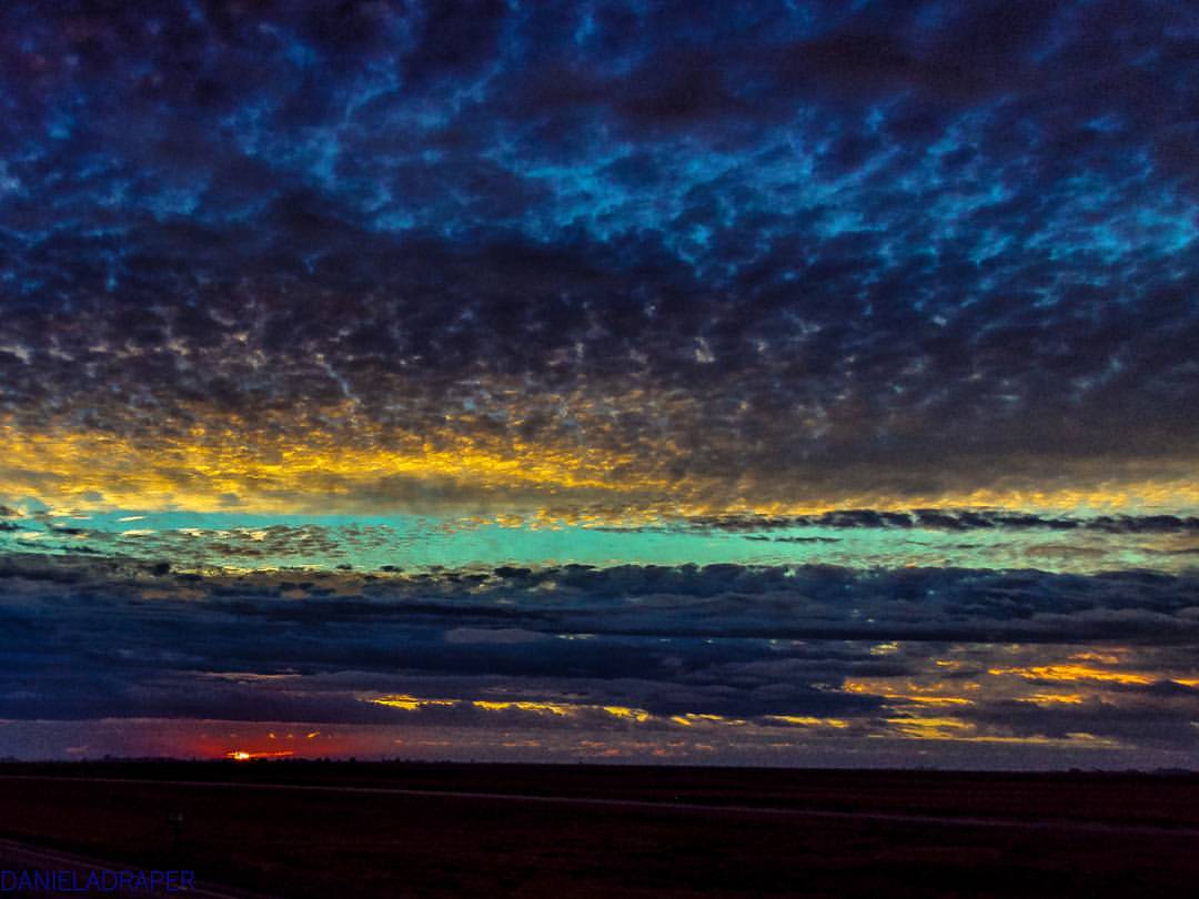
Dusk and Clouds, Los Banos, CA

line cook

Storm Clouds, Las Banos, CA

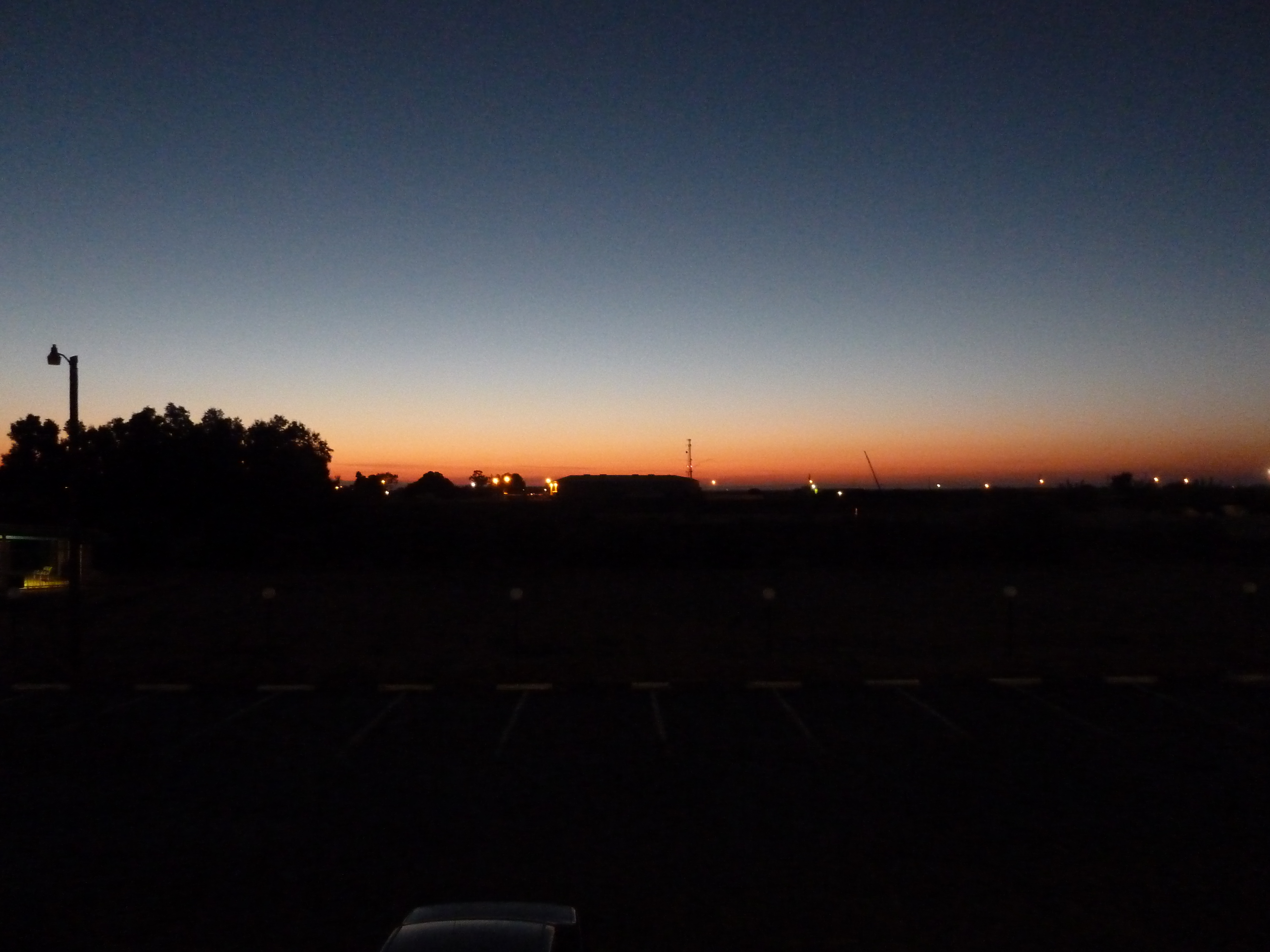
pre Dawn fly out

ZoneTag Photo Monday 4:50 pm 1/1/07 Los Banos, California

Sunset from Tracy

So good.

On Fire

Los Banos Sunset

ZoneTag Photo Monday 4:48 pm 1/1/07 Los Banos, California

010 los_banos_sunset

ZoneTag Photo Monday 4:47 pm 1/1/07 Los Banos, California

ZoneTag Photo Monday 4:46 pm 1/1/07 Los Banos, California
#goodmorning #sunshine #Sunrise Hwy 152 near Kesterson wildlife refuge #centralvalley #California #haveagreatday #happyhour #goldenhour #happyhollidays #photography

Sunset.

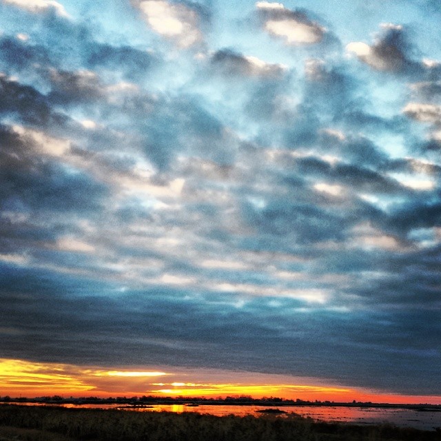
Yet another beautiful sunset

20171006_185201-01

Los Banos sunset

PRE-DAWN FLIGHT

Foggy Morning, Merced County, CA

#sunrise
#sunrise
2015-09-23 06.25.40
#goodmorning #sunshine #dospalos #centralvalley #California #sunrise #haveagreatday

Morning Birds

Sunrise in Los Banos

Sunrise in Los Banos

Sunrise in Los Banos

Sunrise in Los Banos
Sunrise in Los Banos

Sunrise in Los Banos

Sunrise in Los Banos

Sunrise in Los Banos

Sunrise in Los Banos

#sunrise #losbanos #centralvalley #California
Cotton Rd, Los Banos, CA アメリカ合衆国の地図
別の場所を検索
近所の場所
アメリカ合衆国 カリフォルニア州 ロス・バナス
Peachwood Ct, Los Banos, CA アメリカ合衆国
Britto Rd, Dos Palos, CA アメリカ合衆国
Badger Flat Rd, Los Banos, CA アメリカ合衆国Soares Dairy Farms Inc
アメリカ合衆国 カリフォルニア州 サウス・ドス・パロス
6th St, South Dos Palos, CA アメリカ合衆国
Azusa Ave, Dos Palos, CA アメリカ合衆国
アメリカ合衆国 〒 カリフォルニア州 ドス・パロス
アメリカ合衆国 カリフォルニア州 マーセド
N Dos Palos Rd, Dos Palos, CA アメリカ合衆国
W Belmont Ave, Firebaugh, CA アメリカ合衆国
Little Panoche Rd, Firebaugh, CA アメリカ合衆国
アメリカ合衆国 〒 カリフォルニア州 ステビンソン
Lincoln Rd, Chowchilla, CA アメリカ合衆国
アメリカ合衆国 〒 カリフォルニア州 エル・ニード
58 E El Nido Rd, El Nido, CA アメリカ合衆国
Brannon Ave, Firebaugh, CA アメリカ合衆国
W Bullard Ave, Firebaugh, CA アメリカ合衆国
Steinberg Rd, Atwater, CA アメリカ合衆国
アメリカ合衆国 〒 カリフォルニア州 ファイアボー
最近の検索
- アメリカ合衆国 アラスカ州 レッド・ドッグ・マイン日の出日の入り時間
- Am bhf, Borken, ドイツアム・バーンホーフ日の出日の入り時間
- 4th St E, Sonoma, CA, USA日の出日の入り時間
- Oakland Ave, Williamsport, PA アメリカ合衆国日の出日の入り時間
- Via Roma, Pieranica CR, イタリアローマ通り日の出日の入り時間
- クロアチア 〒 ドゥブロブニク GradClock Tower of Dubrovnik日の出日の入り時間
- アルゼンチン チュブ州 トレリュー日の出日の入り時間
- Hartfords Bluff Cir, Mt Pleasant, SC アメリカ合衆国日の出日の入り時間
- 日本、熊本県熊本市北区日の出日の入り時間
- 中華人民共和国 福州市 平潭県 平潭島日の出日の入り時間