Commercial St, Emporia, KS アメリカ合衆国日の出日の入り時間
Location: アメリカ合衆国 > カンザス州 > ライアン > アメリカ合衆国 〒 カンザス州 エンポーリア >
時間帯:
America/Chicago
現地時間:
2025-06-21 18:48:16
経度:
-96.1798895
緯度:
38.399707
今日の日の出時刻:
06:01:32 AM
今日の日の入時刻:
08:52:16 PM
今日の日長:
14h 50m 44s
明日の日の出時刻:
06:01:49 AM
明日の日の入時刻:
08:52:25 PM
明日の日長:
14h 50m 36s
すべて表示する
| 日付 | 日出 | 日没 | 日長 |
|---|---|---|---|
| 2025年01月01日 | 07:41:57 AM | 05:15:47 PM | 9h 33m 50s |
| 2025年01月02日 | 07:42:02 AM | 05:16:38 PM | 9h 34m 36s |
| 2025年01月03日 | 07:42:05 AM | 05:17:30 PM | 9h 35m 25s |
| 2025年01月04日 | 07:42:05 AM | 05:18:23 PM | 9h 36m 18s |
| 2025年01月05日 | 07:42:04 AM | 05:19:17 PM | 9h 37m 13s |
| 2025年01月06日 | 07:42:00 AM | 05:20:12 PM | 9h 38m 12s |
| 2025年01月07日 | 07:41:54 AM | 05:21:09 PM | 9h 39m 15s |
| 2025年01月08日 | 07:41:46 AM | 05:22:06 PM | 9h 40m 20s |
| 2025年01月09日 | 07:41:36 AM | 05:23:05 PM | 9h 41m 29s |
| 2025年01月10日 | 07:41:24 AM | 05:24:05 PM | 9h 42m 41s |
| 2025年01月11日 | 07:41:10 AM | 05:25:05 PM | 9h 43m 55s |
| 2025年01月12日 | 07:40:53 AM | 05:26:06 PM | 9h 45m 13s |
| 2025年01月13日 | 07:40:35 AM | 05:27:08 PM | 9h 46m 33s |
| 2025年01月14日 | 07:40:14 AM | 05:28:11 PM | 9h 47m 57s |
| 2025年01月15日 | 07:39:52 AM | 05:29:15 PM | 9h 49m 23s |
| 2025年01月16日 | 07:39:27 AM | 05:30:19 PM | 9h 50m 52s |
| 2025年01月17日 | 07:39:01 AM | 05:31:23 PM | 9h 52m 22s |
| 2025年01月18日 | 07:38:32 AM | 05:32:29 PM | 9h 53m 57s |
| 2025年01月19日 | 07:38:01 AM | 05:33:35 PM | 9h 55m 34s |
| 2025年01月20日 | 07:37:29 AM | 05:34:41 PM | 9h 57m 12s |
| 2025年01月21日 | 07:36:54 AM | 05:35:47 PM | 9h 58m 53s |
| 2025年01月22日 | 07:36:18 AM | 05:36:54 PM | 10h 0m 36s |
| 2025年01月23日 | 07:35:40 AM | 05:38:02 PM | 10h 2m 22s |
| 2025年01月24日 | 07:35:00 AM | 05:39:09 PM | 10h 4m 9s |
| 2025年01月25日 | 07:34:18 AM | 05:40:17 PM | 10h 5m 59s |
| 2025年01月26日 | 07:33:34 AM | 05:41:25 PM | 10h 7m 51s |
| 2025年01月27日 | 07:32:49 AM | 05:42:33 PM | 10h 9m 44s |
| 2025年01月28日 | 07:32:01 AM | 05:43:41 PM | 10h 11m 40s |
| 2025年01月29日 | 07:31:12 AM | 05:44:50 PM | 10h 13m 38s |
| 2025年01月30日 | 07:30:22 AM | 05:45:58 PM | 10h 15m 36s |
| 2025年01月31日 | 07:29:29 AM | 05:47:07 PM | 10h 17m 38s |
| 2025年02月01日 | 07:28:36 AM | 05:48:15 PM | 10h 19m 39s |
| 2025年02月02日 | 07:27:40 AM | 05:49:24 PM | 10h 21m 44s |
| 2025年02月03日 | 07:26:43 AM | 05:50:32 PM | 10h 23m 49s |
| 2025年02月04日 | 07:25:44 AM | 05:51:40 PM | 10h 25m 56s |
| 2025年02月05日 | 07:24:44 AM | 05:52:48 PM | 10h 28m 4s |
| 2025年02月06日 | 07:23:43 AM | 05:53:56 PM | 10h 30m 13s |
| 2025年02月07日 | 07:22:40 AM | 05:55:04 PM | 10h 32m 24s |
| 2025年02月08日 | 07:21:35 AM | 05:56:12 PM | 10h 34m 37s |
| 2025年02月09日 | 07:20:29 AM | 05:57:19 PM | 10h 36m 50s |
| 2025年02月10日 | 07:19:22 AM | 05:58:27 PM | 10h 39m 5s |
| 2025年02月11日 | 07:18:14 AM | 05:59:34 PM | 10h 41m 20s |
| 2025年02月12日 | 07:17:04 AM | 06:00:40 PM | 10h 43m 36s |
| 2025年02月13日 | 07:15:53 AM | 06:01:47 PM | 10h 45m 54s |
| 2025年02月14日 | 07:14:41 AM | 06:02:53 PM | 10h 48m 12s |
| 2025年02月15日 | 07:13:28 AM | 06:03:59 PM | 10h 50m 31s |
| 2025年02月16日 | 07:12:14 AM | 06:05:05 PM | 10h 52m 51s |
| 2025年02月17日 | 07:10:58 AM | 06:06:10 PM | 10h 55m 12s |
| 2025年02月18日 | 07:09:42 AM | 06:07:15 PM | 10h 57m 33s |
| 2025年02月19日 | 07:08:24 AM | 06:08:20 PM | 10h 59m 56s |
| 2025年02月20日 | 07:07:06 AM | 06:09:25 PM | 11h 2m 19s |
| 2025年02月21日 | 07:05:47 AM | 06:10:29 PM | 11h 4m 42s |
| 2025年02月22日 | 07:04:26 AM | 06:11:33 PM | 11h 7m 7s |
| 2025年02月23日 | 07:03:05 AM | 06:12:36 PM | 11h 9m 31s |
| 2025年02月24日 | 07:01:43 AM | 06:13:40 PM | 11h 11m 57s |
| 2025年02月25日 | 07:00:20 AM | 06:14:43 PM | 11h 14m 23s |
| 2025年02月26日 | 06:58:56 AM | 06:15:45 PM | 11h 16m 49s |
| 2025年02月27日 | 06:57:32 AM | 06:16:48 PM | 11h 19m 16s |
| 2025年02月28日 | 06:56:07 AM | 06:17:50 PM | 11h 21m 43s |
| 2025年03月01日 | 06:54:41 AM | 06:18:51 PM | 11h 24m 10s |
| 2025年03月02日 | 06:53:14 AM | 06:19:53 PM | 11h 26m 39s |
| 2025年03月03日 | 06:51:47 AM | 06:20:54 PM | 11h 29m 7s |
| 2025年03月04日 | 06:50:19 AM | 06:21:55 PM | 11h 31m 36s |
| 2025年03月05日 | 06:48:51 AM | 06:22:55 PM | 11h 34m 4s |
| 2025年03月06日 | 06:47:22 AM | 06:23:55 PM | 11h 36m 33s |
| 2025年03月07日 | 06:45:53 AM | 06:24:55 PM | 11h 39m 2s |
| 2025年03月08日 | 06:44:23 AM | 06:25:55 PM | 11h 41m 32s |
| 2025年03月09日 | 07:42:56 AM | 07:26:52 PM | 11h 43m 56s |
| 2025年03月10日 | 07:41:26 AM | 07:27:51 PM | 11h 46m 25s |
| 2025年03月11日 | 07:39:55 AM | 07:28:50 PM | 11h 48m 55s |
| 2025年03月12日 | 07:38:24 AM | 07:29:49 PM | 11h 51m 25s |
| 2025年03月13日 | 07:36:52 AM | 07:30:48 PM | 11h 53m 56s |
| 2025年03月14日 | 07:35:20 AM | 07:31:46 PM | 11h 56m 26s |
| 2025年03月15日 | 07:33:48 AM | 07:32:44 PM | 11h 58m 56s |
| 2025年03月16日 | 07:32:15 AM | 07:33:42 PM | 12h 1m 27s |
| 2025年03月17日 | 07:30:43 AM | 07:34:40 PM | 12h 3m 57s |
| 2025年03月18日 | 07:29:10 AM | 07:35:38 PM | 12h 6m 28s |
| 2025年03月19日 | 07:27:37 AM | 07:36:35 PM | 12h 8m 58s |
| 2025年03月20日 | 07:26:04 AM | 07:37:33 PM | 12h 11m 29s |
| 2025年03月21日 | 07:24:31 AM | 07:38:30 PM | 12h 13m 59s |
| 2025年03月22日 | 07:22:58 AM | 07:39:27 PM | 12h 16m 29s |
| 2025年03月23日 | 07:21:25 AM | 07:40:24 PM | 12h 18m 59s |
| 2025年03月24日 | 07:19:52 AM | 07:41:21 PM | 12h 21m 29s |
| 2025年03月25日 | 07:18:19 AM | 07:42:17 PM | 12h 23m 58s |
| 2025年03月26日 | 07:16:46 AM | 07:43:14 PM | 12h 26m 28s |
| 2025年03月27日 | 07:15:13 AM | 07:44:11 PM | 12h 28m 58s |
| 2025年03月28日 | 07:13:41 AM | 07:45:07 PM | 12h 31m 26s |
| 2025年03月29日 | 07:12:08 AM | 07:46:04 PM | 12h 33m 56s |
| 2025年03月30日 | 07:10:36 AM | 07:47:00 PM | 12h 36m 24s |
| 2025年03月31日 | 07:09:04 AM | 07:47:57 PM | 12h 38m 53s |
| 2025年04月01日 | 07:07:32 AM | 07:48:53 PM | 12h 41m 21s |
| 2025年04月02日 | 07:06:00 AM | 07:49:50 PM | 12h 43m 50s |
| 2025年04月03日 | 07:04:29 AM | 07:50:46 PM | 12h 46m 17s |
| 2025年04月04日 | 07:02:58 AM | 07:51:42 PM | 12h 48m 44s |
| 2025年04月05日 | 07:01:28 AM | 07:52:39 PM | 12h 51m 11s |
| 2025年04月06日 | 06:59:58 AM | 07:53:35 PM | 12h 53m 37s |
| 2025年04月07日 | 06:58:28 AM | 07:54:31 PM | 12h 56m 3s |
| 2025年04月08日 | 06:56:59 AM | 07:55:28 PM | 12h 58m 29s |
| 2025年04月09日 | 06:55:31 AM | 07:56:24 PM | 13h 0m 53s |
| 2025年04月10日 | 06:54:03 AM | 07:57:21 PM | 13h 3m 18s |
| 2025年04月11日 | 06:52:35 AM | 07:58:17 PM | 13h 5m 42s |
| 2025年04月12日 | 06:51:08 AM | 07:59:14 PM | 13h 8m 6s |
| 2025年04月13日 | 06:49:42 AM | 08:00:10 PM | 13h 10m 28s |
| 2025年04月14日 | 06:48:16 AM | 08:01:07 PM | 13h 12m 51s |
| 2025年04月15日 | 06:46:51 AM | 08:02:04 PM | 13h 15m 13s |
| 2025年04月16日 | 06:45:27 AM | 08:03:00 PM | 13h 17m 33s |
| 2025年04月17日 | 06:44:03 AM | 08:03:57 PM | 13h 19m 54s |
| 2025年04月18日 | 06:42:41 AM | 08:04:54 PM | 13h 22m 13s |
| 2025年04月19日 | 06:41:19 AM | 08:05:51 PM | 13h 24m 32s |
| 2025年04月20日 | 06:39:58 AM | 08:06:47 PM | 13h 26m 49s |
| 2025年04月21日 | 06:38:37 AM | 08:07:44 PM | 13h 29m 7s |
| 2025年04月22日 | 06:37:18 AM | 08:08:41 PM | 13h 31m 23s |
| 2025年04月23日 | 06:36:00 AM | 08:09:38 PM | 13h 33m 38s |
| 2025年04月24日 | 06:34:42 AM | 08:10:35 PM | 13h 35m 53s |
| 2025年04月25日 | 06:33:26 AM | 08:11:32 PM | 13h 38m 6s |
| 2025年04月26日 | 06:32:10 AM | 08:12:28 PM | 13h 40m 18s |
| 2025年04月27日 | 06:30:56 AM | 08:13:25 PM | 13h 42m 29s |
| 2025年04月28日 | 06:29:43 AM | 08:14:22 PM | 13h 44m 39s |
| 2025年04月29日 | 06:28:31 AM | 08:15:19 PM | 13h 46m 48s |
| 2025年04月30日 | 06:27:19 AM | 08:16:15 PM | 13h 48m 56s |
| 2025年05月01日 | 06:26:10 AM | 08:17:12 PM | 13h 51m 2s |
| 2025年05月02日 | 06:25:01 AM | 08:18:08 PM | 13h 53m 7s |
| 2025年05月03日 | 06:23:53 AM | 08:19:04 PM | 13h 55m 11s |
| 2025年05月04日 | 06:22:47 AM | 08:20:01 PM | 13h 57m 14s |
| 2025年05月05日 | 06:21:42 AM | 08:20:57 PM | 13h 59m 15s |
| 2025年05月06日 | 06:20:39 AM | 08:21:52 PM | 14h 1m 13s |
| 2025年05月07日 | 06:19:36 AM | 08:22:48 PM | 14h 3m 12s |
| 2025年05月08日 | 06:18:36 AM | 08:23:43 PM | 14h 5m 7s |
| 2025年05月09日 | 06:17:36 AM | 08:24:38 PM | 14h 7m 2s |
| 2025年05月10日 | 06:16:38 AM | 08:25:33 PM | 14h 8m 55s |
| 2025年05月11日 | 06:15:41 AM | 08:26:28 PM | 14h 10m 47s |
| 2025年05月12日 | 06:14:46 AM | 08:27:22 PM | 14h 12m 36s |
| 2025年05月13日 | 06:13:53 AM | 08:28:16 PM | 14h 14m 23s |
| 2025年05月14日 | 06:13:00 AM | 08:29:09 PM | 14h 16m 9s |
| 2025年05月15日 | 06:12:10 AM | 08:30:02 PM | 14h 17m 52s |
| 2025年05月16日 | 06:11:21 AM | 08:30:55 PM | 14h 19m 34s |
| 2025年05月17日 | 06:10:33 AM | 08:31:47 PM | 14h 21m 14s |
| 2025年05月18日 | 06:09:48 AM | 08:32:38 PM | 14h 22m 50s |
| 2025年05月19日 | 06:09:04 AM | 08:33:29 PM | 14h 24m 25s |
| 2025年05月20日 | 06:08:21 AM | 08:34:20 PM | 14h 25m 59s |
| 2025年05月21日 | 06:07:40 AM | 08:35:09 PM | 14h 27m 29s |
| 2025年05月22日 | 06:07:01 AM | 08:35:59 PM | 14h 28m 58s |
| 2025年05月23日 | 06:06:24 AM | 08:36:47 PM | 14h 30m 23s |
| 2025年05月24日 | 06:05:48 AM | 08:37:35 PM | 14h 31m 47s |
| 2025年05月25日 | 06:05:15 AM | 08:38:21 PM | 14h 33m 6s |
| 2025年05月26日 | 06:04:42 AM | 08:39:08 PM | 14h 34m 26s |
| 2025年05月27日 | 06:04:12 AM | 08:39:53 PM | 14h 35m 41s |
| 2025年05月28日 | 06:03:44 AM | 08:40:37 PM | 14h 36m 53s |
| 2025年05月29日 | 06:03:17 AM | 08:41:20 PM | 14h 38m 3s |
| 2025年05月30日 | 06:02:52 AM | 08:42:03 PM | 14h 39m 11s |
| 2025年05月31日 | 06:02:29 AM | 08:42:44 PM | 14h 40m 15s |
| 2025年06月01日 | 06:02:08 AM | 08:43:24 PM | 14h 41m 16s |
| 2025年06月02日 | 06:01:48 AM | 08:44:04 PM | 14h 42m 16s |
| 2025年06月03日 | 06:01:31 AM | 08:44:42 PM | 14h 43m 11s |
| 2025年06月04日 | 06:01:15 AM | 08:45:19 PM | 14h 44m 4s |
| 2025年06月05日 | 06:01:01 AM | 08:45:54 PM | 14h 44m 53s |
| 2025年06月06日 | 06:00:49 AM | 08:46:29 PM | 14h 45m 40s |
| 2025年06月07日 | 06:00:39 AM | 08:47:02 PM | 14h 46m 23s |
| 2025年06月08日 | 06:00:31 AM | 08:47:34 PM | 14h 47m 3s |
| 2025年06月09日 | 06:00:24 AM | 08:48:04 PM | 14h 47m 40s |
| 2025年06月10日 | 06:00:20 AM | 08:48:33 PM | 14h 48m 13s |
| 2025年06月11日 | 06:00:17 AM | 08:49:01 PM | 14h 48m 44s |
| 2025年06月12日 | 06:00:16 AM | 08:49:27 PM | 14h 49m 11s |
| 2025年06月13日 | 06:00:16 AM | 08:49:52 PM | 14h 49m 36s |
| 2025年06月14日 | 06:00:19 AM | 08:50:15 PM | 14h 49m 56s |
| 2025年06月15日 | 06:00:23 AM | 08:50:36 PM | 14h 50m 13s |
| 2025年06月16日 | 06:00:29 AM | 08:50:56 PM | 14h 50m 27s |
| 2025年06月17日 | 06:00:37 AM | 08:51:15 PM | 14h 50m 38s |
| 2025年06月18日 | 06:00:47 AM | 08:51:31 PM | 14h 50m 44s |
| 2025年06月19日 | 06:00:58 AM | 08:51:46 PM | 14h 50m 48s |
| 2025年06月20日 | 06:01:11 AM | 08:51:59 PM | 14h 50m 48s |
| 2025年06月21日 | 06:01:25 AM | 08:52:11 PM | 14h 50m 46s |
| 2025年06月22日 | 06:01:41 AM | 08:52:21 PM | 14h 50m 40s |
| 2025年06月23日 | 06:01:59 AM | 08:52:29 PM | 14h 50m 30s |
| 2025年06月24日 | 06:02:18 AM | 08:52:35 PM | 14h 50m 17s |
| 2025年06月25日 | 06:02:39 AM | 08:52:40 PM | 14h 50m 1s |
| 2025年06月26日 | 06:03:01 AM | 08:52:42 PM | 14h 49m 41s |
| 2025年06月27日 | 06:03:25 AM | 08:52:43 PM | 14h 49m 18s |
| 2025年06月28日 | 06:03:50 AM | 08:52:42 PM | 14h 48m 52s |
| 2025年06月29日 | 06:04:17 AM | 08:52:39 PM | 14h 48m 22s |
| 2025年06月30日 | 06:04:45 AM | 08:52:34 PM | 14h 47m 49s |
| 2025年07月01日 | 06:05:14 AM | 08:52:27 PM | 14h 47m 13s |
| 2025年07月02日 | 06:05:45 AM | 08:52:19 PM | 14h 46m 34s |
| 2025年07月03日 | 06:06:17 AM | 08:52:09 PM | 14h 45m 52s |
| 2025年07月04日 | 06:06:50 AM | 08:51:56 PM | 14h 45m 6s |
| 2025年07月05日 | 06:07:24 AM | 08:51:42 PM | 14h 44m 18s |
| 2025年07月06日 | 06:08:00 AM | 08:51:26 PM | 14h 43m 26s |
| 2025年07月07日 | 06:08:36 AM | 08:51:08 PM | 14h 42m 32s |
| 2025年07月08日 | 06:09:14 AM | 08:50:48 PM | 14h 41m 34s |
| 2025年07月09日 | 06:09:53 AM | 08:50:26 PM | 14h 40m 33s |
| 2025年07月10日 | 06:10:32 AM | 08:50:03 PM | 14h 39m 31s |
| 2025年07月11日 | 06:11:13 AM | 08:49:37 PM | 14h 38m 24s |
| 2025年07月12日 | 06:11:55 AM | 08:49:10 PM | 14h 37m 15s |
| 2025年07月13日 | 06:12:37 AM | 08:48:41 PM | 14h 36m 4s |
| 2025年07月14日 | 06:13:20 AM | 08:48:10 PM | 14h 34m 50s |
| 2025年07月15日 | 06:14:04 AM | 08:47:37 PM | 14h 33m 33s |
| 2025年07月16日 | 06:14:49 AM | 08:47:03 PM | 14h 32m 14s |
| 2025年07月17日 | 06:15:34 AM | 08:46:26 PM | 14h 30m 52s |
| 2025年07月18日 | 06:16:21 AM | 08:45:48 PM | 14h 29m 27s |
| 2025年07月19日 | 06:17:07 AM | 08:45:08 PM | 14h 28m 1s |
| 2025年07月20日 | 06:17:55 AM | 08:44:27 PM | 14h 26m 32s |
| 2025年07月21日 | 06:18:43 AM | 08:43:43 PM | 14h 25m 0s |
| 2025年07月22日 | 06:19:31 AM | 08:42:58 PM | 14h 23m 27s |
| 2025年07月23日 | 06:20:20 AM | 08:42:12 PM | 14h 21m 52s |
| 2025年07月24日 | 06:21:10 AM | 08:41:23 PM | 14h 20m 13s |
| 2025年07月25日 | 06:21:59 AM | 08:40:33 PM | 14h 18m 34s |
| 2025年07月26日 | 06:22:50 AM | 08:39:42 PM | 14h 16m 52s |
| 2025年07月27日 | 06:23:40 AM | 08:38:49 PM | 14h 15m 9s |
| 2025年07月28日 | 06:24:31 AM | 08:37:54 PM | 14h 13m 23s |
| 2025年07月29日 | 06:25:23 AM | 08:36:58 PM | 14h 11m 35s |
| 2025年07月30日 | 06:26:14 AM | 08:36:00 PM | 14h 9m 46s |
| 2025年07月31日 | 06:27:06 AM | 08:35:01 PM | 14h 7m 55s |
| 2025年08月01日 | 06:27:58 AM | 08:34:00 PM | 14h 6m 2s |
| 2025年08月02日 | 06:28:50 AM | 08:32:58 PM | 14h 4m 8s |
| 2025年08月03日 | 06:29:43 AM | 08:31:55 PM | 14h 2m 12s |
| 2025年08月04日 | 06:30:36 AM | 08:30:50 PM | 14h 0m 14s |
| 2025年08月05日 | 06:31:28 AM | 08:29:44 PM | 13h 58m 16s |
| 2025年08月06日 | 06:32:21 AM | 08:28:36 PM | 13h 56m 15s |
| 2025年08月07日 | 06:33:14 AM | 08:27:28 PM | 13h 54m 14s |
| 2025年08月08日 | 06:34:07 AM | 08:26:18 PM | 13h 52m 11s |
| 2025年08月09日 | 06:35:00 AM | 08:25:07 PM | 13h 50m 7s |
| 2025年08月10日 | 06:35:53 AM | 08:23:54 PM | 13h 48m 1s |
| 2025年08月11日 | 06:36:47 AM | 08:22:41 PM | 13h 45m 54s |
| 2025年08月12日 | 06:37:40 AM | 08:21:26 PM | 13h 43m 46s |
| 2025年08月13日 | 06:38:33 AM | 08:20:11 PM | 13h 41m 38s |
| 2025年08月14日 | 06:39:26 AM | 08:18:54 PM | 13h 39m 28s |
| 2025年08月15日 | 06:40:19 AM | 08:17:36 PM | 13h 37m 17s |
| 2025年08月16日 | 06:41:12 AM | 08:16:17 PM | 13h 35m 5s |
| 2025年08月17日 | 06:42:06 AM | 08:14:57 PM | 13h 32m 51s |
| 2025年08月18日 | 06:42:59 AM | 08:13:37 PM | 13h 30m 38s |
| 2025年08月19日 | 06:43:52 AM | 08:12:15 PM | 13h 28m 23s |
| 2025年08月20日 | 06:44:45 AM | 08:10:52 PM | 13h 26m 7s |
| 2025年08月21日 | 06:45:38 AM | 08:09:29 PM | 13h 23m 51s |
| 2025年08月22日 | 06:46:30 AM | 08:08:05 PM | 13h 21m 35s |
| 2025年08月23日 | 06:47:23 AM | 08:06:40 PM | 13h 19m 17s |
| 2025年08月24日 | 06:48:16 AM | 08:05:14 PM | 13h 16m 58s |
| 2025年08月25日 | 06:49:09 AM | 08:03:47 PM | 13h 14m 38s |
| 2025年08月26日 | 06:50:01 AM | 08:02:20 PM | 13h 12m 19s |
| 2025年08月27日 | 06:50:54 AM | 08:00:52 PM | 13h 9m 58s |
| 2025年08月28日 | 06:51:46 AM | 07:59:24 PM | 13h 7m 38s |
| 2025年08月29日 | 06:52:38 AM | 07:57:55 PM | 13h 5m 17s |
| 2025年08月30日 | 06:53:31 AM | 07:56:25 PM | 13h 2m 54s |
| 2025年08月31日 | 06:54:23 AM | 07:54:54 PM | 13h 0m 31s |
| 2025年09月01日 | 06:55:15 AM | 07:53:24 PM | 12h 58m 9s |
| 2025年09月02日 | 06:56:07 AM | 07:51:52 PM | 12h 55m 45s |
| 2025年09月03日 | 06:56:59 AM | 07:50:21 PM | 12h 53m 22s |
| 2025年09月04日 | 06:57:52 AM | 07:48:48 PM | 12h 50m 56s |
| 2025年09月05日 | 06:58:44 AM | 07:47:16 PM | 12h 48m 32s |
| 2025年09月06日 | 06:59:36 AM | 07:45:43 PM | 12h 46m 7s |
| 2025年09月07日 | 07:00:28 AM | 07:44:09 PM | 12h 43m 41s |
| 2025年09月08日 | 07:01:20 AM | 07:42:36 PM | 12h 41m 16s |
| 2025年09月09日 | 07:02:12 AM | 07:41:02 PM | 12h 38m 50s |
| 2025年09月10日 | 07:03:04 AM | 07:39:27 PM | 12h 36m 23s |
| 2025年09月11日 | 07:03:56 AM | 07:37:53 PM | 12h 33m 57s |
| 2025年09月12日 | 07:04:48 AM | 07:36:18 PM | 12h 31m 30s |
| 2025年09月13日 | 07:05:40 AM | 07:34:43 PM | 12h 29m 3s |
| 2025年09月14日 | 07:06:32 AM | 07:33:08 PM | 12h 26m 36s |
| 2025年09月15日 | 07:07:24 AM | 07:31:33 PM | 12h 24m 9s |
| 2025年09月16日 | 07:08:17 AM | 07:29:58 PM | 12h 21m 41s |
| 2025年09月17日 | 07:09:09 AM | 07:28:23 PM | 12h 19m 14s |
| 2025年09月18日 | 07:10:01 AM | 07:26:48 PM | 12h 16m 47s |
| 2025年09月19日 | 07:10:54 AM | 07:25:12 PM | 12h 14m 18s |
| 2025年09月20日 | 07:11:47 AM | 07:23:37 PM | 12h 11m 50s |
| 2025年09月21日 | 07:12:39 AM | 07:22:02 PM | 12h 9m 23s |
| 2025年09月22日 | 07:13:32 AM | 07:20:27 PM | 12h 6m 55s |
| 2025年09月23日 | 07:14:25 AM | 07:18:52 PM | 12h 4m 27s |
| 2025年09月24日 | 07:15:19 AM | 07:17:17 PM | 12h 1m 58s |
| 2025年09月25日 | 07:16:12 AM | 07:15:42 PM | 11h 59m 30s |
| 2025年09月26日 | 07:17:06 AM | 07:14:08 PM | 11h 57m 2s |
| 2025年09月27日 | 07:18:00 AM | 07:12:34 PM | 11h 54m 34s |
| 2025年09月28日 | 07:18:54 AM | 07:11:00 PM | 11h 52m 6s |
| 2025年09月29日 | 07:19:48 AM | 07:09:26 PM | 11h 49m 38s |
| 2025年09月30日 | 07:20:42 AM | 07:07:53 PM | 11h 47m 11s |
| 2025年10月01日 | 07:21:37 AM | 07:06:20 PM | 11h 44m 43s |
| 2025年10月02日 | 07:22:32 AM | 07:04:47 PM | 11h 42m 15s |
| 2025年10月03日 | 07:23:27 AM | 07:03:15 PM | 11h 39m 48s |
| 2025年10月04日 | 07:24:23 AM | 07:01:44 PM | 11h 37m 21s |
| 2025年10月05日 | 07:25:18 AM | 07:00:12 PM | 11h 34m 54s |
| 2025年10月06日 | 07:26:14 AM | 06:58:42 PM | 11h 32m 28s |
| 2025年10月07日 | 07:27:11 AM | 06:57:11 PM | 11h 30m 0s |
| 2025年10月08日 | 07:28:07 AM | 06:55:42 PM | 11h 27m 35s |
| 2025年10月09日 | 07:29:04 AM | 06:54:13 PM | 11h 25m 9s |
| 2025年10月10日 | 07:30:02 AM | 06:52:45 PM | 11h 22m 43s |
| 2025年10月11日 | 07:30:59 AM | 06:51:17 PM | 11h 20m 18s |
| 2025年10月12日 | 07:31:57 AM | 06:49:50 PM | 11h 17m 53s |
| 2025年10月13日 | 07:32:55 AM | 06:48:24 PM | 11h 15m 29s |
| 2025年10月14日 | 07:33:54 AM | 06:46:58 PM | 11h 13m 4s |
| 2025年10月15日 | 07:34:53 AM | 06:45:34 PM | 11h 10m 41s |
| 2025年10月16日 | 07:35:52 AM | 06:44:10 PM | 11h 8m 18s |
| 2025年10月17日 | 07:36:51 AM | 06:42:47 PM | 11h 5m 56s |
| 2025年10月18日 | 07:37:51 AM | 06:41:25 PM | 11h 3m 34s |
| 2025年10月19日 | 07:38:52 AM | 06:40:04 PM | 11h 1m 12s |
| 2025年10月20日 | 07:39:52 AM | 06:38:43 PM | 10h 58m 51s |
| 2025年10月21日 | 07:40:53 AM | 06:37:24 PM | 10h 56m 31s |
| 2025年10月22日 | 07:41:54 AM | 06:36:06 PM | 10h 54m 12s |
| 2025年10月23日 | 07:42:56 AM | 06:34:49 PM | 10h 51m 53s |
| 2025年10月24日 | 07:43:58 AM | 06:33:33 PM | 10h 49m 35s |
| 2025年10月25日 | 07:45:00 AM | 06:32:18 PM | 10h 47m 18s |
| 2025年10月26日 | 07:46:03 AM | 06:31:05 PM | 10h 45m 2s |
| 2025年10月27日 | 07:47:06 AM | 06:29:52 PM | 10h 42m 46s |
| 2025年10月28日 | 07:48:09 AM | 06:28:41 PM | 10h 40m 32s |
| 2025年10月29日 | 07:49:12 AM | 06:27:31 PM | 10h 38m 19s |
| 2025年10月30日 | 07:50:16 AM | 06:26:22 PM | 10h 36m 6s |
| 2025年10月31日 | 07:51:20 AM | 06:25:15 PM | 10h 33m 55s |
| 2025年11月01日 | 07:52:24 AM | 06:24:09 PM | 10h 31m 45s |
| 2025年11月02日 | 06:53:31 AM | 05:23:01 PM | 10h 29m 30s |
| 2025年11月03日 | 06:54:35 AM | 05:21:58 PM | 10h 27m 23s |
| 2025年11月04日 | 06:55:40 AM | 05:20:57 PM | 10h 25m 17s |
| 2025年11月05日 | 06:56:45 AM | 05:19:57 PM | 10h 23m 12s |
| 2025年11月06日 | 06:57:50 AM | 05:18:58 PM | 10h 21m 8s |
| 2025年11月07日 | 06:58:55 AM | 05:18:01 PM | 10h 19m 6s |
| 2025年11月08日 | 07:00:01 AM | 05:17:06 PM | 10h 17m 5s |
| 2025年11月09日 | 07:01:06 AM | 05:16:12 PM | 10h 15m 6s |
| 2025年11月10日 | 07:02:11 AM | 05:15:20 PM | 10h 13m 9s |
| 2025年11月11日 | 07:03:17 AM | 05:14:29 PM | 10h 11m 12s |
| 2025年11月12日 | 07:04:22 AM | 05:13:41 PM | 10h 9m 19s |
| 2025年11月13日 | 07:05:27 AM | 05:12:54 PM | 10h 7m 27s |
| 2025年11月14日 | 07:06:33 AM | 05:12:09 PM | 10h 5m 36s |
| 2025年11月15日 | 07:07:38 AM | 05:11:25 PM | 10h 3m 47s |
| 2025年11月16日 | 07:08:42 AM | 05:10:44 PM | 10h 2m 2s |
| 2025年11月17日 | 07:09:47 AM | 05:10:04 PM | 10h 0m 17s |
| 2025年11月18日 | 07:10:51 AM | 05:09:27 PM | 9h 58m 36s |
| 2025年11月19日 | 07:11:56 AM | 05:08:51 PM | 9h 56m 55s |
| 2025年11月20日 | 07:12:59 AM | 05:08:17 PM | 9h 55m 18s |
| 2025年11月21日 | 07:14:03 AM | 05:07:45 PM | 9h 53m 42s |
| 2025年11月22日 | 07:15:06 AM | 05:07:15 PM | 9h 52m 9s |
| 2025年11月23日 | 07:16:08 AM | 05:06:48 PM | 9h 50m 40s |
| 2025年11月24日 | 07:17:10 AM | 05:06:22 PM | 9h 49m 12s |
| 2025年11月25日 | 07:18:12 AM | 05:05:58 PM | 9h 47m 46s |
| 2025年11月26日 | 07:19:12 AM | 05:05:37 PM | 9h 46m 25s |
| 2025年11月27日 | 07:20:13 AM | 05:05:17 PM | 9h 45m 4s |
| 2025年11月28日 | 07:21:12 AM | 05:05:00 PM | 9h 43m 48s |
| 2025年11月29日 | 07:22:11 AM | 05:04:44 PM | 9h 42m 33s |
| 2025年11月30日 | 07:23:08 AM | 05:04:31 PM | 9h 41m 23s |
| 2025年12月01日 | 07:24:05 AM | 05:04:20 PM | 9h 40m 15s |
| 2025年12月02日 | 07:25:01 AM | 05:04:11 PM | 9h 39m 10s |
| 2025年12月03日 | 07:25:57 AM | 05:04:04 PM | 9h 38m 7s |
| 2025年12月04日 | 07:26:51 AM | 05:04:00 PM | 9h 37m 9s |
| 2025年12月05日 | 07:27:44 AM | 05:03:57 PM | 9h 36m 13s |
| 2025年12月06日 | 07:28:35 AM | 05:03:57 PM | 9h 35m 22s |
| 2025年12月07日 | 07:29:26 AM | 05:03:59 PM | 9h 34m 33s |
| 2025年12月08日 | 07:30:16 AM | 05:04:03 PM | 9h 33m 47s |
| 2025年12月09日 | 07:31:04 AM | 05:04:09 PM | 9h 33m 5s |
| 2025年12月10日 | 07:31:50 AM | 05:04:17 PM | 9h 32m 27s |
| 2025年12月11日 | 07:32:36 AM | 05:04:28 PM | 9h 31m 52s |
| 2025年12月12日 | 07:33:20 AM | 05:04:40 PM | 9h 31m 20s |
| 2025年12月13日 | 07:34:02 AM | 05:04:55 PM | 9h 30m 53s |
| 2025年12月14日 | 07:34:43 AM | 05:05:12 PM | 9h 30m 29s |
| 2025年12月15日 | 07:35:23 AM | 05:05:30 PM | 9h 30m 7s |
| 2025年12月16日 | 07:36:01 AM | 05:05:51 PM | 9h 29m 50s |
| 2025年12月17日 | 07:36:37 AM | 05:06:14 PM | 9h 29m 37s |
| 2025年12月18日 | 07:37:11 AM | 05:06:39 PM | 9h 29m 28s |
| 2025年12月19日 | 07:37:44 AM | 05:07:06 PM | 9h 29m 22s |
| 2025年12月20日 | 07:38:15 AM | 05:07:34 PM | 9h 29m 19s |
| 2025年12月21日 | 07:38:44 AM | 05:08:05 PM | 9h 29m 21s |
| 2025年12月22日 | 07:39:11 AM | 05:08:37 PM | 9h 29m 26s |
| 2025年12月23日 | 07:39:36 AM | 05:09:12 PM | 9h 29m 36s |
| 2025年12月24日 | 07:40:00 AM | 05:09:48 PM | 9h 29m 48s |
| 2025年12月25日 | 07:40:21 AM | 05:10:25 PM | 9h 30m 4s |
| 2025年12月26日 | 07:40:41 AM | 05:11:05 PM | 9h 30m 24s |
| 2025年12月27日 | 07:40:59 AM | 05:11:46 PM | 9h 30m 47s |
| 2025年12月28日 | 07:41:14 AM | 05:12:29 PM | 9h 31m 15s |
| 2025年12月29日 | 07:41:28 AM | 05:13:13 PM | 9h 31m 45s |
| 2025年12月30日 | 07:41:39 AM | 05:13:59 PM | 9h 32m 20s |
| 2025年12月31日 | 07:41:48 AM | 05:14:46 PM | 9h 32m 58s |
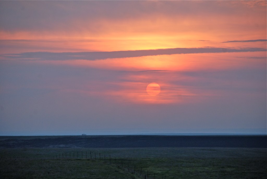
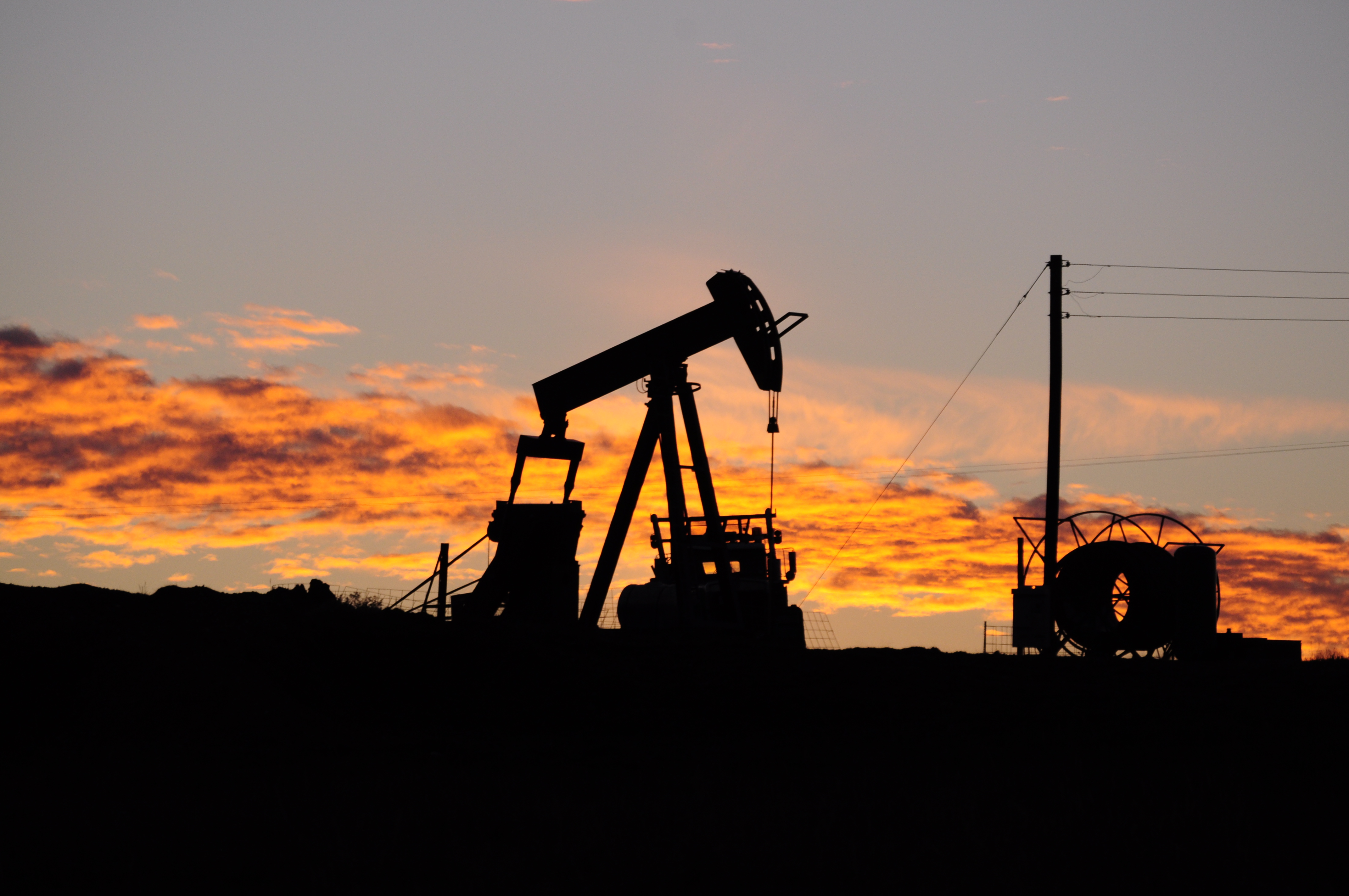
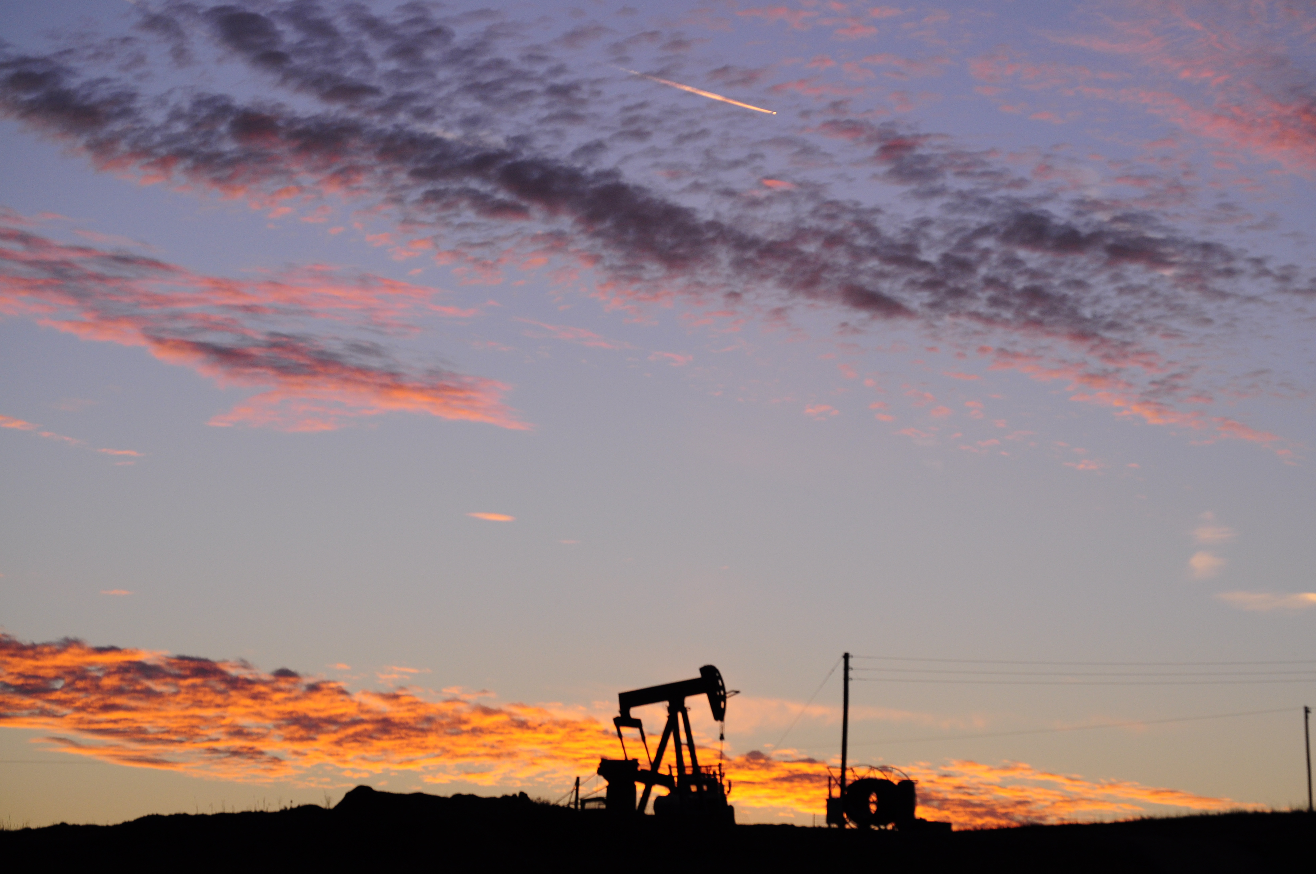
写真
Days End by The Keeper of Lights
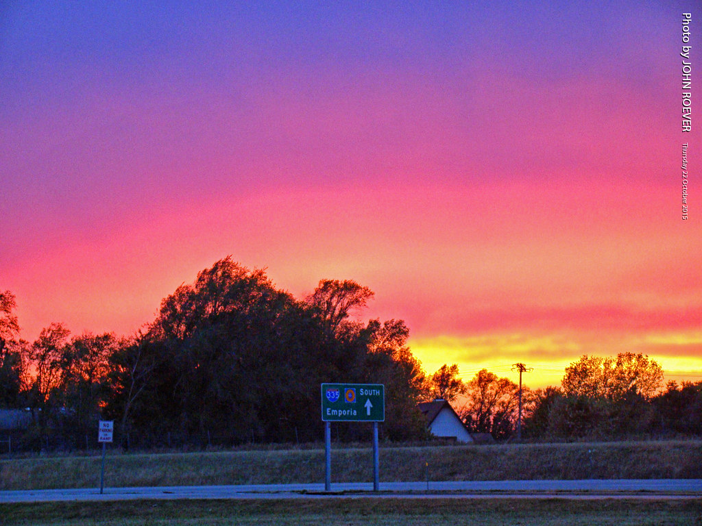
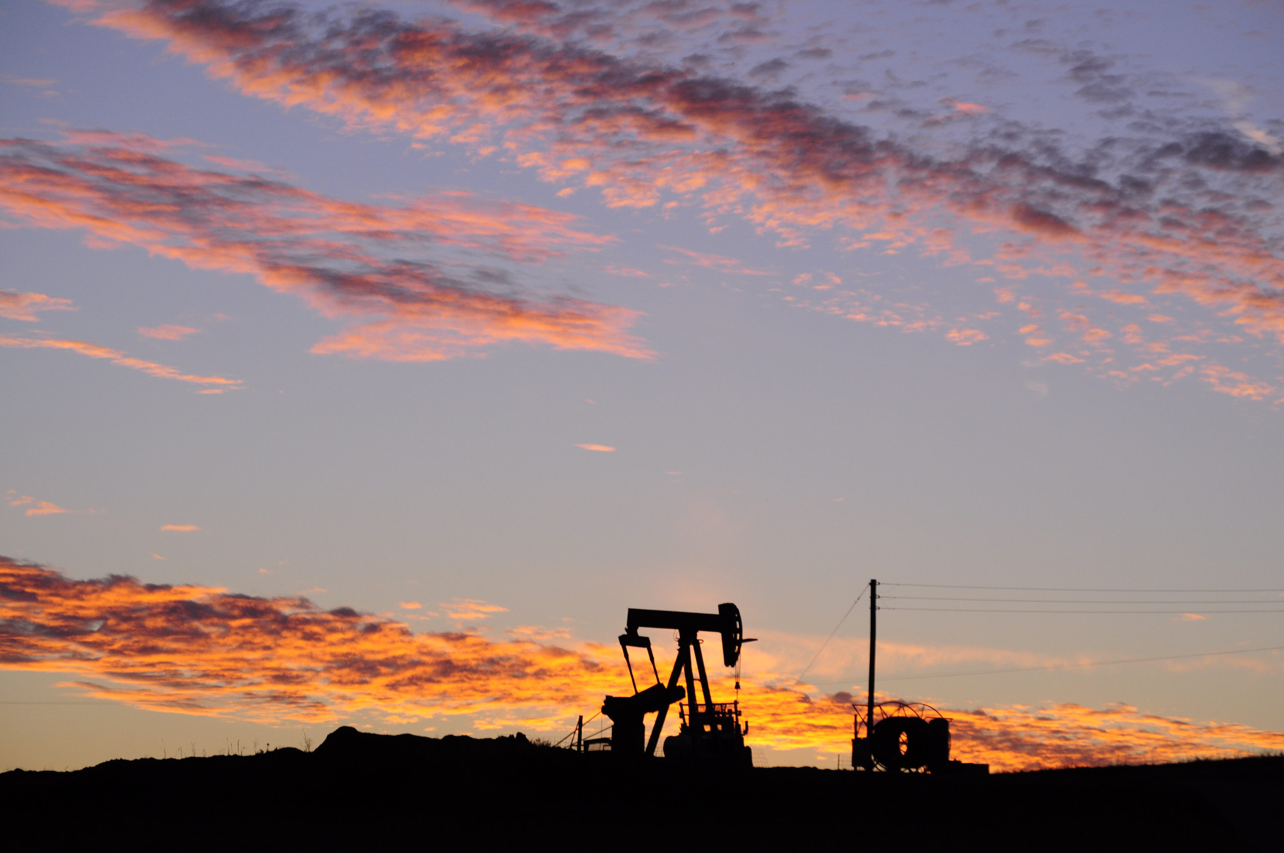
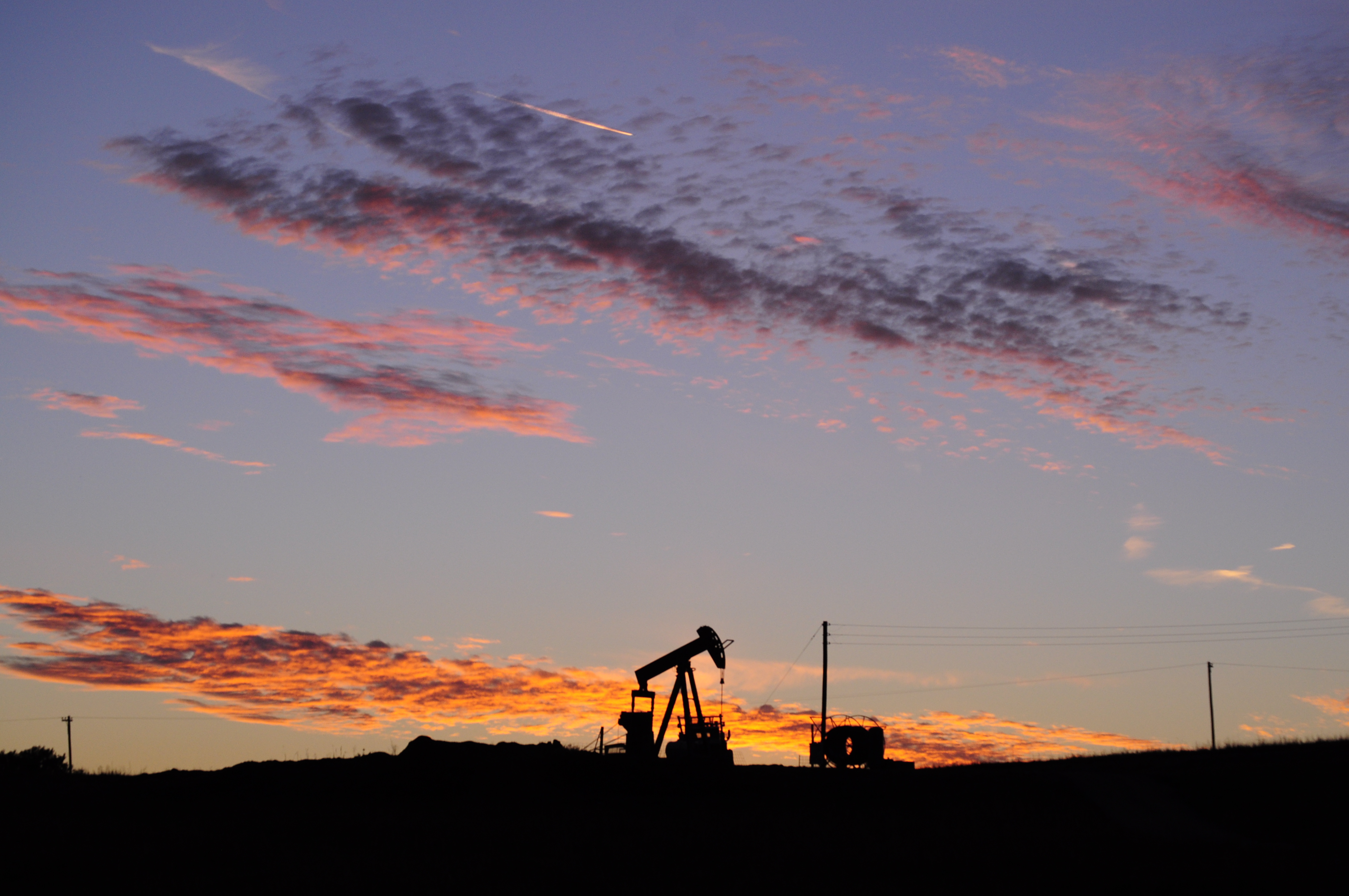
Color after sunset along I-335, 22 Oct 2015
Some pics from around Olpe, Kansas.
Some pics from around Olpe, Kansas.
Some pics from around Olpe, Kansas.
Some pics from around Olpe, Kansas.

Cattle Pens cast their shadow
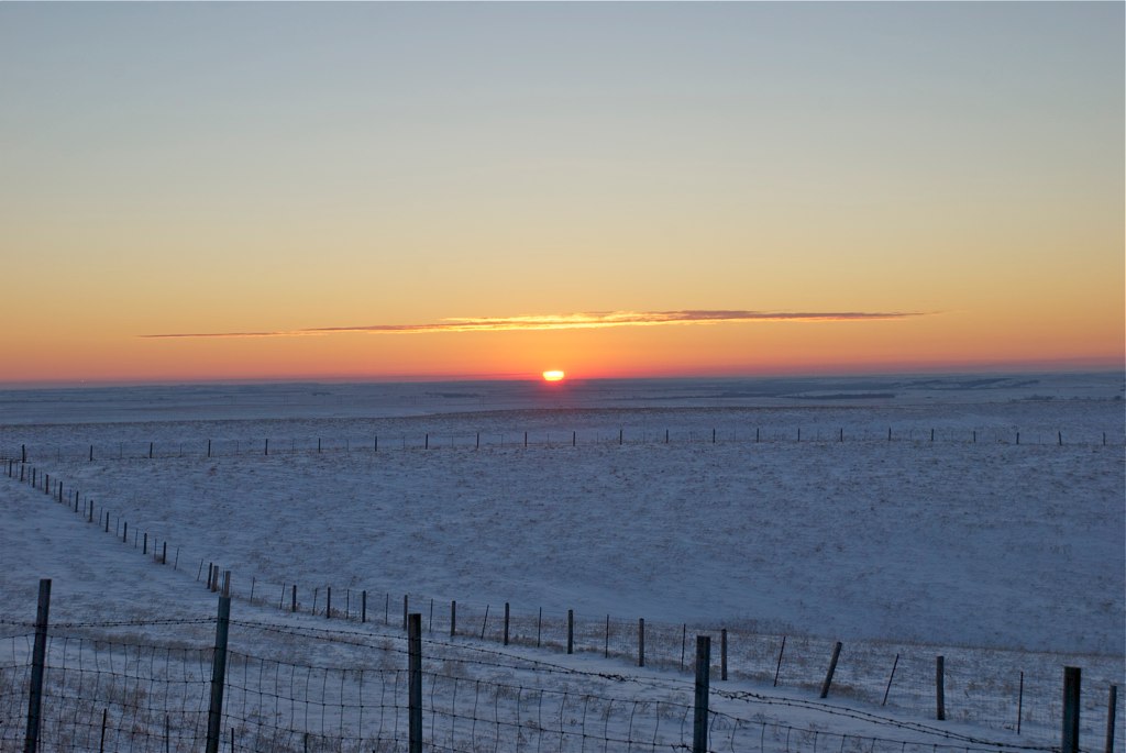
Sunrise at 7:19 AM

KTA Toll Plaza in Emporia, 22 April 2009

Starbucks in Emporia, 22 April 2009
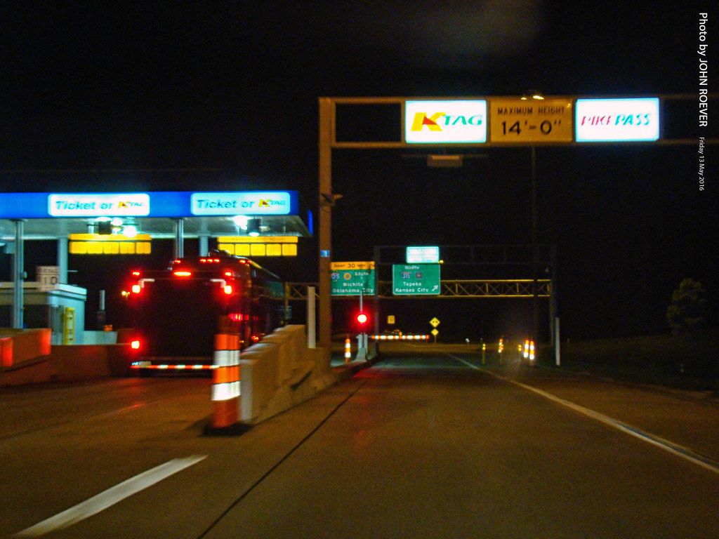
K-Tag Lane at Emporia Toll Plaza, 13 May 2016
Commercial St, Emporia, KS アメリカ合衆国の地図
別の場所を検索
近所の場所
アメリカ合衆国 〒 カンザス州 エンポーリア
Commercial St, Emporia, KS アメリカ合衆国Jimmy John's
E 6th Ave, Emporia, KS アメリカ合衆国Tortas El Toro
Commercial St, Emporia, KS アメリカ合衆国Red Rocks State Historic Site
Carter St, Emporia, KS アメリカ合衆国
W 6th Ave, Emporia, KS アメリカ合衆国Flint Hills Lanes
アメリカ合衆国 カンザス州 ライアン
W 7th Ave, Emporia, KS アメリカ合衆国7th Avenue Storage
Janice St, Emporia, KS アメリカ合衆国
Graphic Arts Rd, Emporia, KS アメリカ合衆国VFW Post
Rd M, Emporia, KS アメリカ合衆国
Rd L, Emporia, KS アメリカ合衆国
U Rd, Madison, KS アメリカ合衆国U Road
アメリカ合衆国 カンザス州 アドミア
アメリカ合衆国 〒 カンザス州 アレン
th street, Madison, KS アメリカ合衆国Leiser Construction. LLC
アメリカ合衆国 〒 カンザス州 マディソン
アメリカ合衆国 〒 カンザス州 アレン
アメリカ合衆国 カンザス州 グリーンウッドマディソン
アメリカ合衆国 カンザス州 リンカン
最近の検索
- アメリカ合衆国 アラスカ州 レッド・ドッグ・マイン日の出日の入り時間
- Am bhf, Borken, ドイツアム・バーンホーフ日の出日の入り時間
- 4th St E, Sonoma, CA, USA日の出日の入り時間
- Oakland Ave, Williamsport, PA アメリカ合衆国日の出日の入り時間
- Via Roma, Pieranica CR, イタリアローマ通り日の出日の入り時間
- クロアチア 〒 ドゥブロブニク GradClock Tower of Dubrovnik日の出日の入り時間
- アルゼンチン チュブ州 トレリュー日の出日の入り時間
- Hartfords Bluff Cir, Mt Pleasant, SC アメリカ合衆国日の出日の入り時間
- 日本、熊本県熊本市北区日の出日の入り時間
- 中華人民共和国 福州市 平潭県 平潭島日の出日の入り時間