Cocke County Rd, Greeneville, TN アメリカ合衆国日の出日の入り時間
Location: アメリカ合衆国 > テネシー州 > グリーン > ビル >
時間帯:
America/New_York
現地時間:
2025-06-24 15:47:26
経度:
-82.96099
緯度:
36.025531
今日の日の出時刻:
06:16:38 AM
今日の日の入時刻:
08:52:41 PM
今日の日長:
14h 36m 3s
明日の日の出時刻:
06:16:58 AM
明日の日の入時刻:
08:52:46 PM
明日の日長:
14h 35m 48s
すべて表示する
| 日付 | 日出 | 日没 | 日長 |
|---|---|---|---|
| 2025年01月01日 | 07:42:36 AM | 05:29:19 PM | 9h 46m 43s |
| 2025年01月02日 | 07:42:43 AM | 05:30:07 PM | 9h 47m 24s |
| 2025年01月03日 | 07:42:48 AM | 05:30:57 PM | 9h 48m 9s |
| 2025年01月04日 | 07:42:51 AM | 05:31:47 PM | 9h 48m 56s |
| 2025年01月05日 | 07:42:52 AM | 05:32:39 PM | 9h 49m 47s |
| 2025年01月06日 | 07:42:51 AM | 05:33:32 PM | 9h 50m 41s |
| 2025年01月07日 | 07:42:48 AM | 05:34:25 PM | 9h 51m 37s |
| 2025年01月08日 | 07:42:44 AM | 05:35:20 PM | 9h 52m 36s |
| 2025年01月09日 | 07:42:37 AM | 05:36:15 PM | 9h 53m 38s |
| 2025年01月10日 | 07:42:28 AM | 05:37:12 PM | 9h 54m 44s |
| 2025年01月11日 | 07:42:17 AM | 05:38:09 PM | 9h 55m 52s |
| 2025年01月12日 | 07:42:05 AM | 05:39:06 PM | 9h 57m 1s |
| 2025年01月13日 | 07:41:50 AM | 05:40:05 PM | 9h 58m 15s |
| 2025年01月14日 | 07:41:33 AM | 05:41:04 PM | 9h 59m 31s |
| 2025年01月15日 | 07:41:15 AM | 05:42:03 PM | 10h 0m 48s |
| 2025年01月16日 | 07:40:54 AM | 05:43:03 PM | 10h 2m 9s |
| 2025年01月17日 | 07:40:32 AM | 05:44:04 PM | 10h 3m 32s |
| 2025年01月18日 | 07:40:08 AM | 05:45:05 PM | 10h 4m 57s |
| 2025年01月19日 | 07:39:42 AM | 05:46:07 PM | 10h 6m 25s |
| 2025年01月20日 | 07:39:14 AM | 05:47:08 PM | 10h 7m 54s |
| 2025年01月21日 | 07:38:44 AM | 05:48:11 PM | 10h 9m 27s |
| 2025年01月22日 | 07:38:12 AM | 05:49:13 PM | 10h 11m 1s |
| 2025年01月23日 | 07:37:39 AM | 05:50:16 PM | 10h 12m 37s |
| 2025年01月24日 | 07:37:03 AM | 05:51:18 PM | 10h 14m 15s |
| 2025年01月25日 | 07:36:26 AM | 05:52:21 PM | 10h 15m 55s |
| 2025年01月26日 | 07:35:48 AM | 05:53:24 PM | 10h 17m 36s |
| 2025年01月27日 | 07:35:07 AM | 05:54:28 PM | 10h 19m 21s |
| 2025年01月28日 | 07:34:25 AM | 05:55:31 PM | 10h 21m 6s |
| 2025年01月29日 | 07:33:42 AM | 05:56:34 PM | 10h 22m 52s |
| 2025年01月30日 | 07:32:56 AM | 05:57:37 PM | 10h 24m 41s |
| 2025年01月31日 | 07:32:09 AM | 05:58:41 PM | 10h 26m 32s |
| 2025年02月01日 | 07:31:21 AM | 05:59:44 PM | 10h 28m 23s |
| 2025年02月02日 | 07:30:31 AM | 06:00:47 PM | 10h 30m 16s |
| 2025年02月03日 | 07:29:39 AM | 06:01:50 PM | 10h 32m 11s |
| 2025年02月04日 | 07:28:46 AM | 06:02:53 PM | 10h 34m 7s |
| 2025年02月05日 | 07:27:52 AM | 06:03:55 PM | 10h 36m 3s |
| 2025年02月06日 | 07:26:56 AM | 06:04:58 PM | 10h 38m 2s |
| 2025年02月07日 | 07:25:58 AM | 06:06:00 PM | 10h 40m 2s |
| 2025年02月08日 | 07:25:00 AM | 06:07:02 PM | 10h 42m 2s |
| 2025年02月09日 | 07:24:00 AM | 06:08:04 PM | 10h 44m 4s |
| 2025年02月10日 | 07:22:59 AM | 06:09:05 PM | 10h 46m 6s |
| 2025年02月11日 | 07:21:56 AM | 06:10:07 PM | 10h 48m 11s |
| 2025年02月12日 | 07:20:52 AM | 06:11:08 PM | 10h 50m 16s |
| 2025年02月13日 | 07:19:47 AM | 06:12:08 PM | 10h 52m 21s |
| 2025年02月14日 | 07:18:41 AM | 06:13:09 PM | 10h 54m 28s |
| 2025年02月15日 | 07:17:34 AM | 06:14:09 PM | 10h 56m 35s |
| 2025年02月16日 | 07:16:26 AM | 06:15:09 PM | 10h 58m 43s |
| 2025年02月17日 | 07:15:16 AM | 06:16:08 PM | 11h 0m 52s |
| 2025年02月18日 | 07:14:06 AM | 06:17:07 PM | 11h 3m 1s |
| 2025年02月19日 | 07:12:54 AM | 06:18:06 PM | 11h 5m 12s |
| 2025年02月20日 | 07:11:42 AM | 06:19:05 PM | 11h 7m 23s |
| 2025年02月21日 | 07:10:29 AM | 06:20:03 PM | 11h 9m 34s |
| 2025年02月22日 | 07:09:14 AM | 06:21:01 PM | 11h 11m 47s |
| 2025年02月23日 | 07:07:59 AM | 06:21:58 PM | 11h 13m 59s |
| 2025年02月24日 | 07:06:43 AM | 06:22:56 PM | 11h 16m 13s |
| 2025年02月25日 | 07:05:27 AM | 06:23:53 PM | 11h 18m 26s |
| 2025年02月26日 | 07:04:09 AM | 06:24:49 PM | 11h 20m 40s |
| 2025年02月27日 | 07:02:51 AM | 06:25:45 PM | 11h 22m 54s |
| 2025年02月28日 | 07:01:32 AM | 06:26:41 PM | 11h 25m 9s |
| 2025年03月01日 | 07:00:12 AM | 06:27:37 PM | 11h 27m 25s |
| 2025年03月02日 | 06:58:52 AM | 06:28:32 PM | 11h 29m 40s |
| 2025年03月03日 | 06:57:31 AM | 06:29:27 PM | 11h 31m 56s |
| 2025年03月04日 | 06:56:09 AM | 06:30:22 PM | 11h 34m 13s |
| 2025年03月05日 | 06:54:47 AM | 06:31:16 PM | 11h 36m 29s |
| 2025年03月06日 | 06:53:24 AM | 06:32:10 PM | 11h 38m 46s |
| 2025年03月07日 | 06:52:01 AM | 06:33:04 PM | 11h 41m 3s |
| 2025年03月08日 | 06:50:38 AM | 06:33:58 PM | 11h 43m 20s |
| 2025年03月09日 | 07:49:17 AM | 07:34:49 PM | 11h 45m 32s |
| 2025年03月10日 | 07:47:53 AM | 07:35:42 PM | 11h 47m 49s |
| 2025年03月11日 | 07:46:28 AM | 07:36:35 PM | 11h 50m 7s |
| 2025年03月12日 | 07:45:03 AM | 07:37:27 PM | 11h 52m 24s |
| 2025年03月13日 | 07:43:38 AM | 07:38:20 PM | 11h 54m 42s |
| 2025年03月14日 | 07:42:12 AM | 07:39:12 PM | 11h 57m 0s |
| 2025年03月15日 | 07:40:46 AM | 07:40:04 PM | 11h 59m 18s |
| 2025年03月16日 | 07:39:20 AM | 07:40:56 PM | 12h 1m 36s |
| 2025年03月17日 | 07:37:53 AM | 07:41:47 PM | 12h 3m 54s |
| 2025年03月18日 | 07:36:27 AM | 07:42:39 PM | 12h 6m 12s |
| 2025年03月19日 | 07:35:00 AM | 07:43:30 PM | 12h 8m 30s |
| 2025年03月20日 | 07:33:33 AM | 07:44:21 PM | 12h 10m 48s |
| 2025年03月21日 | 07:32:07 AM | 07:45:12 PM | 12h 13m 5s |
| 2025年03月22日 | 07:30:40 AM | 07:46:03 PM | 12h 15m 23s |
| 2025年03月23日 | 07:29:13 AM | 07:46:54 PM | 12h 17m 41s |
| 2025年03月24日 | 07:27:46 AM | 07:47:44 PM | 12h 19m 58s |
| 2025年03月25日 | 07:26:19 AM | 07:48:35 PM | 12h 22m 16s |
| 2025年03月26日 | 07:24:52 AM | 07:49:26 PM | 12h 24m 34s |
| 2025年03月27日 | 07:23:26 AM | 07:50:16 PM | 12h 26m 50s |
| 2025年03月28日 | 07:21:59 AM | 07:51:06 PM | 12h 29m 7s |
| 2025年03月29日 | 07:20:33 AM | 07:51:57 PM | 12h 31m 24s |
| 2025年03月30日 | 07:19:07 AM | 07:52:47 PM | 12h 33m 40s |
| 2025年03月31日 | 07:17:41 AM | 07:53:37 PM | 12h 35m 56s |
| 2025年04月01日 | 07:16:15 AM | 07:54:28 PM | 12h 38m 13s |
| 2025年04月02日 | 07:14:50 AM | 07:55:18 PM | 12h 40m 28s |
| 2025年04月03日 | 07:13:25 AM | 07:56:08 PM | 12h 42m 43s |
| 2025年04月04日 | 07:12:00 AM | 07:56:58 PM | 12h 44m 58s |
| 2025年04月05日 | 07:10:36 AM | 07:57:49 PM | 12h 47m 13s |
| 2025年04月06日 | 07:09:12 AM | 07:58:39 PM | 12h 49m 27s |
| 2025年04月07日 | 07:07:48 AM | 07:59:29 PM | 12h 51m 41s |
| 2025年04月08日 | 07:06:25 AM | 08:00:20 PM | 12h 53m 55s |
| 2025年04月09日 | 07:05:02 AM | 08:01:10 PM | 12h 56m 8s |
| 2025年04月10日 | 07:03:40 AM | 08:02:01 PM | 12h 58m 21s |
| 2025年04月11日 | 07:02:19 AM | 08:02:51 PM | 13h 0m 32s |
| 2025年04月12日 | 07:00:58 AM | 08:03:42 PM | 13h 2m 44s |
| 2025年04月13日 | 06:59:37 AM | 08:04:32 PM | 13h 4m 55s |
| 2025年04月14日 | 06:58:18 AM | 08:05:23 PM | 13h 7m 5s |
| 2025年04月15日 | 06:56:59 AM | 08:06:13 PM | 13h 9m 14s |
| 2025年04月16日 | 06:55:40 AM | 08:07:04 PM | 13h 11m 24s |
| 2025年04月17日 | 06:54:23 AM | 08:07:55 PM | 13h 13m 32s |
| 2025年04月18日 | 06:53:06 AM | 08:08:46 PM | 13h 15m 40s |
| 2025年04月19日 | 06:51:50 AM | 08:09:37 PM | 13h 17m 47s |
| 2025年04月20日 | 06:50:34 AM | 08:10:28 PM | 13h 19m 54s |
| 2025年04月21日 | 06:49:20 AM | 08:11:19 PM | 13h 21m 59s |
| 2025年04月22日 | 06:48:06 AM | 08:12:10 PM | 13h 24m 4s |
| 2025年04月23日 | 06:46:53 AM | 08:13:01 PM | 13h 26m 8s |
| 2025年04月24日 | 06:45:42 AM | 08:13:52 PM | 13h 28m 10s |
| 2025年04月25日 | 06:44:31 AM | 08:14:43 PM | 13h 30m 12s |
| 2025年04月26日 | 06:43:21 AM | 08:15:34 PM | 13h 32m 13s |
| 2025年04月27日 | 06:42:12 AM | 08:16:25 PM | 13h 34m 13s |
| 2025年04月28日 | 06:41:04 AM | 08:17:17 PM | 13h 36m 13s |
| 2025年04月29日 | 06:39:58 AM | 08:18:08 PM | 13h 38m 10s |
| 2025年04月30日 | 06:38:52 AM | 08:18:59 PM | 13h 40m 7s |
| 2025年05月01日 | 06:37:47 AM | 08:19:50 PM | 13h 42m 3s |
| 2025年05月02日 | 06:36:44 AM | 08:20:41 PM | 13h 43m 57s |
| 2025年05月03日 | 06:35:42 AM | 08:21:32 PM | 13h 45m 50s |
| 2025年05月04日 | 06:34:41 AM | 08:22:23 PM | 13h 47m 42s |
| 2025年05月05日 | 06:33:41 AM | 08:23:13 PM | 13h 49m 32s |
| 2025年05月06日 | 06:32:42 AM | 08:24:04 PM | 13h 51m 22s |
| 2025年05月07日 | 06:31:45 AM | 08:24:55 PM | 13h 53m 10s |
| 2025年05月08日 | 06:30:49 AM | 08:25:45 PM | 13h 54m 56s |
| 2025年05月09日 | 06:29:55 AM | 08:26:35 PM | 13h 56m 40s |
| 2025年05月10日 | 06:29:02 AM | 08:27:25 PM | 13h 58m 23s |
| 2025年05月11日 | 06:28:10 AM | 08:28:14 PM | 14h 0m 4s |
| 2025年05月12日 | 06:27:19 AM | 08:29:04 PM | 14h 1m 45s |
| 2025年05月13日 | 06:26:30 AM | 08:29:53 PM | 14h 3m 23s |
| 2025年05月14日 | 06:25:43 AM | 08:30:42 PM | 14h 4m 59s |
| 2025年05月15日 | 06:24:57 AM | 08:31:30 PM | 14h 6m 33s |
| 2025年05月16日 | 06:24:12 AM | 08:32:18 PM | 14h 8m 6s |
| 2025年05月17日 | 06:23:29 AM | 08:33:06 PM | 14h 9m 37s |
| 2025年05月18日 | 06:22:47 AM | 08:33:53 PM | 14h 11m 6s |
| 2025年05月19日 | 06:22:07 AM | 08:34:40 PM | 14h 12m 33s |
| 2025年05月20日 | 06:21:29 AM | 08:35:26 PM | 14h 13m 57s |
| 2025年05月21日 | 06:20:52 AM | 08:36:12 PM | 14h 15m 20s |
| 2025年05月22日 | 06:20:17 AM | 08:36:57 PM | 14h 16m 40s |
| 2025年05月23日 | 06:19:43 AM | 08:37:42 PM | 14h 17m 59s |
| 2025年05月24日 | 06:19:11 AM | 08:38:26 PM | 14h 19m 15s |
| 2025年05月25日 | 06:18:41 AM | 08:39:09 PM | 14h 20m 28s |
| 2025年05月26日 | 06:18:12 AM | 08:39:51 PM | 14h 21m 39s |
| 2025年05月27日 | 06:17:45 AM | 08:40:33 PM | 14h 22m 48s |
| 2025年05月28日 | 06:17:20 AM | 08:41:14 PM | 14h 23m 54s |
| 2025年05月29日 | 06:16:56 AM | 08:41:55 PM | 14h 24m 59s |
| 2025年05月30日 | 06:16:34 AM | 08:42:34 PM | 14h 26m 0s |
| 2025年05月31日 | 06:16:14 AM | 08:43:13 PM | 14h 26m 59s |
| 2025年06月01日 | 06:15:56 AM | 08:43:50 PM | 14h 27m 54s |
| 2025年06月02日 | 06:15:39 AM | 08:44:27 PM | 14h 28m 48s |
| 2025年06月03日 | 06:15:24 AM | 08:45:02 PM | 14h 29m 38s |
| 2025年06月04日 | 06:15:10 AM | 08:45:37 PM | 14h 30m 27s |
| 2025年06月05日 | 06:14:58 AM | 08:46:10 PM | 14h 31m 12s |
| 2025年06月06日 | 06:14:48 AM | 08:46:43 PM | 14h 31m 55s |
| 2025年06月07日 | 06:14:40 AM | 08:47:14 PM | 14h 32m 34s |
| 2025年06月08日 | 06:14:33 AM | 08:47:44 PM | 14h 33m 11s |
| 2025年06月09日 | 06:14:29 AM | 08:48:13 PM | 14h 33m 44s |
| 2025年06月10日 | 06:14:25 AM | 08:48:41 PM | 14h 34m 16s |
| 2025年06月11日 | 06:14:24 AM | 08:49:07 PM | 14h 34m 43s |
| 2025年06月12日 | 06:14:24 AM | 08:49:32 PM | 14h 35m 8s |
| 2025年06月13日 | 06:14:26 AM | 08:49:56 PM | 14h 35m 30s |
| 2025年06月14日 | 06:14:29 AM | 08:50:18 PM | 14h 35m 49s |
| 2025年06月15日 | 06:14:34 AM | 08:50:39 PM | 14h 36m 5s |
| 2025年06月16日 | 06:14:40 AM | 08:50:58 PM | 14h 36m 18s |
| 2025年06月17日 | 06:14:49 AM | 08:51:16 PM | 14h 36m 27s |
| 2025年06月18日 | 06:14:58 AM | 08:51:32 PM | 14h 36m 34s |
| 2025年06月19日 | 06:15:10 AM | 08:51:47 PM | 14h 36m 37s |
| 2025年06月20日 | 06:15:22 AM | 08:52:01 PM | 14h 36m 39s |
| 2025年06月21日 | 06:15:37 AM | 08:52:13 PM | 14h 36m 36s |
| 2025年06月22日 | 06:15:52 AM | 08:52:23 PM | 14h 36m 31s |
| 2025年06月23日 | 06:16:09 AM | 08:52:31 PM | 14h 36m 22s |
| 2025年06月24日 | 06:16:28 AM | 08:52:38 PM | 14h 36m 10s |
| 2025年06月25日 | 06:16:48 AM | 08:52:44 PM | 14h 35m 56s |
| 2025年06月26日 | 06:17:09 AM | 08:52:47 PM | 14h 35m 38s |
| 2025年06月27日 | 06:17:32 AM | 08:52:49 PM | 14h 35m 17s |
| 2025年06月28日 | 06:17:56 AM | 08:52:50 PM | 14h 34m 54s |
| 2025年06月29日 | 06:18:21 AM | 08:52:48 PM | 14h 34m 27s |
| 2025年06月30日 | 06:18:47 AM | 08:52:45 PM | 14h 33m 58s |
| 2025年07月01日 | 06:19:15 AM | 08:52:40 PM | 14h 33m 25s |
| 2025年07月02日 | 06:19:44 AM | 08:52:34 PM | 14h 32m 50s |
| 2025年07月03日 | 06:20:14 AM | 08:52:25 PM | 14h 32m 11s |
| 2025年07月04日 | 06:20:45 AM | 08:52:15 PM | 14h 31m 30s |
| 2025年07月05日 | 06:21:17 AM | 08:52:03 PM | 14h 30m 46s |
| 2025年07月06日 | 06:21:50 AM | 08:51:50 PM | 14h 30m 0s |
| 2025年07月07日 | 06:22:24 AM | 08:51:34 PM | 14h 29m 10s |
| 2025年07月08日 | 06:22:58 AM | 08:51:17 PM | 14h 28m 19s |
| 2025年07月09日 | 06:23:34 AM | 08:50:58 PM | 14h 27m 24s |
| 2025年07月10日 | 06:24:11 AM | 08:50:38 PM | 14h 26m 27s |
| 2025年07月11日 | 06:24:49 AM | 08:50:16 PM | 14h 25m 27s |
| 2025年07月12日 | 06:25:27 AM | 08:49:52 PM | 14h 24m 25s |
| 2025年07月13日 | 06:26:06 AM | 08:49:26 PM | 14h 23m 20s |
| 2025年07月14日 | 06:26:46 AM | 08:48:58 PM | 14h 22m 12s |
| 2025年07月15日 | 06:27:26 AM | 08:48:29 PM | 14h 21m 3s |
| 2025年07月16日 | 06:28:07 AM | 08:47:58 PM | 14h 19m 51s |
| 2025年07月17日 | 06:28:49 AM | 08:47:26 PM | 14h 18m 37s |
| 2025年07月18日 | 06:29:31 AM | 08:46:51 PM | 14h 17m 20s |
| 2025年07月19日 | 06:30:14 AM | 08:46:16 PM | 14h 16m 2s |
| 2025年07月20日 | 06:30:58 AM | 08:45:38 PM | 14h 14m 40s |
| 2025年07月21日 | 06:31:41 AM | 08:44:59 PM | 14h 13m 18s |
| 2025年07月22日 | 06:32:26 AM | 08:44:18 PM | 14h 11m 52s |
| 2025年07月23日 | 06:33:10 AM | 08:43:36 PM | 14h 10m 26s |
| 2025年07月24日 | 06:33:56 AM | 08:42:52 PM | 14h 8m 56s |
| 2025年07月25日 | 06:34:41 AM | 08:42:07 PM | 14h 7m 26s |
| 2025年07月26日 | 06:35:27 AM | 08:41:20 PM | 14h 5m 53s |
| 2025年07月27日 | 06:36:13 AM | 08:40:31 PM | 14h 4m 18s |
| 2025年07月28日 | 06:36:59 AM | 08:39:42 PM | 14h 2m 43s |
| 2025年07月29日 | 06:37:46 AM | 08:38:50 PM | 14h 1m 4s |
| 2025年07月30日 | 06:38:32 AM | 08:37:57 PM | 13h 59m 25s |
| 2025年07月31日 | 06:39:19 AM | 08:37:03 PM | 13h 57m 44s |
| 2025年08月01日 | 06:40:06 AM | 08:36:08 PM | 13h 56m 2s |
| 2025年08月02日 | 06:40:54 AM | 08:35:11 PM | 13h 54m 17s |
| 2025年08月03日 | 06:41:41 AM | 08:34:12 PM | 13h 52m 31s |
| 2025年08月04日 | 06:42:29 AM | 08:33:13 PM | 13h 50m 44s |
| 2025年08月05日 | 06:43:16 AM | 08:32:12 PM | 13h 48m 56s |
| 2025年08月06日 | 06:44:04 AM | 08:31:10 PM | 13h 47m 6s |
| 2025年08月07日 | 06:44:51 AM | 08:30:07 PM | 13h 45m 16s |
| 2025年08月08日 | 06:45:39 AM | 08:29:02 PM | 13h 43m 23s |
| 2025年08月09日 | 06:46:27 AM | 08:27:56 PM | 13h 41m 29s |
| 2025年08月10日 | 06:47:15 AM | 08:26:50 PM | 13h 39m 35s |
| 2025年08月11日 | 06:48:02 AM | 08:25:42 PM | 13h 37m 40s |
| 2025年08月12日 | 06:48:50 AM | 08:24:33 PM | 13h 35m 43s |
| 2025年08月13日 | 06:49:38 AM | 08:23:22 PM | 13h 33m 44s |
| 2025年08月14日 | 06:50:25 AM | 08:22:11 PM | 13h 31m 46s |
| 2025年08月15日 | 06:51:13 AM | 08:20:59 PM | 13h 29m 46s |
| 2025年08月16日 | 06:52:00 AM | 08:19:46 PM | 13h 27m 46s |
| 2025年08月17日 | 06:52:48 AM | 08:18:32 PM | 13h 25m 44s |
| 2025年08月18日 | 06:53:35 AM | 08:17:17 PM | 13h 23m 42s |
| 2025年08月19日 | 06:54:23 AM | 08:16:01 PM | 13h 21m 38s |
| 2025年08月20日 | 06:55:10 AM | 08:14:44 PM | 13h 19m 34s |
| 2025年08月21日 | 06:55:57 AM | 08:13:27 PM | 13h 17m 30s |
| 2025年08月22日 | 06:56:44 AM | 08:12:08 PM | 13h 15m 24s |
| 2025年08月23日 | 06:57:31 AM | 08:10:49 PM | 13h 13m 18s |
| 2025年08月24日 | 06:58:18 AM | 08:09:29 PM | 13h 11m 11s |
| 2025年08月25日 | 06:59:05 AM | 08:08:09 PM | 13h 9m 4s |
| 2025年08月26日 | 06:59:51 AM | 08:06:47 PM | 13h 6m 56s |
| 2025年08月27日 | 07:00:38 AM | 08:05:26 PM | 13h 4m 48s |
| 2025年08月28日 | 07:01:25 AM | 08:04:03 PM | 13h 2m 38s |
| 2025年08月29日 | 07:02:11 AM | 08:02:40 PM | 13h 0m 29s |
| 2025年08月30日 | 07:02:57 AM | 08:01:16 PM | 12h 58m 19s |
| 2025年08月31日 | 07:03:44 AM | 07:59:52 PM | 12h 56m 8s |
| 2025年09月01日 | 07:04:30 AM | 07:58:27 PM | 12h 53m 57s |
| 2025年09月02日 | 07:05:16 AM | 07:57:02 PM | 12h 51m 46s |
| 2025年09月03日 | 07:06:02 AM | 07:55:36 PM | 12h 49m 34s |
| 2025年09月04日 | 07:06:48 AM | 07:54:10 PM | 12h 47m 22s |
| 2025年09月05日 | 07:07:34 AM | 07:52:43 PM | 12h 45m 9s |
| 2025年09月06日 | 07:08:20 AM | 07:51:16 PM | 12h 42m 56s |
| 2025年09月07日 | 07:09:06 AM | 07:49:49 PM | 12h 40m 43s |
| 2025年09月08日 | 07:09:52 AM | 07:48:21 PM | 12h 38m 29s |
| 2025年09月09日 | 07:10:38 AM | 07:46:53 PM | 12h 36m 15s |
| 2025年09月10日 | 07:11:24 AM | 07:45:25 PM | 12h 34m 1s |
| 2025年09月11日 | 07:12:10 AM | 07:43:57 PM | 12h 31m 47s |
| 2025年09月12日 | 07:12:56 AM | 07:42:28 PM | 12h 29m 32s |
| 2025年09月13日 | 07:13:42 AM | 07:40:59 PM | 12h 27m 17s |
| 2025年09月14日 | 07:14:28 AM | 07:39:30 PM | 12h 25m 2s |
| 2025年09月15日 | 07:15:15 AM | 07:38:01 PM | 12h 22m 46s |
| 2025年09月16日 | 07:16:01 AM | 07:36:32 PM | 12h 20m 31s |
| 2025年09月17日 | 07:16:47 AM | 07:35:03 PM | 12h 18m 16s |
| 2025年09月18日 | 07:17:33 AM | 07:33:34 PM | 12h 16m 1s |
| 2025年09月19日 | 07:18:20 AM | 07:32:05 PM | 12h 13m 45s |
| 2025年09月20日 | 07:19:06 AM | 07:30:36 PM | 12h 11m 30s |
| 2025年09月21日 | 07:19:53 AM | 07:29:07 PM | 12h 9m 14s |
| 2025年09月22日 | 07:20:40 AM | 07:27:38 PM | 12h 6m 58s |
| 2025年09月23日 | 07:21:27 AM | 07:26:09 PM | 12h 4m 42s |
| 2025年09月24日 | 07:22:14 AM | 07:24:40 PM | 12h 2m 26s |
| 2025年09月25日 | 07:23:01 AM | 07:23:11 PM | 12h 0m 10s |
| 2025年09月26日 | 07:23:49 AM | 07:21:43 PM | 11h 57m 54s |
| 2025年09月27日 | 07:24:36 AM | 07:20:15 PM | 11h 55m 39s |
| 2025年09月28日 | 07:25:24 AM | 07:18:47 PM | 11h 53m 23s |
| 2025年09月29日 | 07:26:12 AM | 07:17:20 PM | 11h 51m 8s |
| 2025年09月30日 | 07:27:01 AM | 07:15:52 PM | 11h 48m 51s |
| 2025年10月01日 | 07:27:49 AM | 07:14:25 PM | 11h 46m 36s |
| 2025年10月02日 | 07:28:38 AM | 07:12:59 PM | 11h 44m 21s |
| 2025年10月03日 | 07:29:27 AM | 07:11:33 PM | 11h 42m 6s |
| 2025年10月04日 | 07:30:17 AM | 07:10:07 PM | 11h 39m 50s |
| 2025年10月05日 | 07:31:06 AM | 07:08:42 PM | 11h 37m 36s |
| 2025年10月06日 | 07:31:56 AM | 07:07:17 PM | 11h 35m 21s |
| 2025年10月07日 | 07:32:46 AM | 07:05:53 PM | 11h 33m 7s |
| 2025年10月08日 | 07:33:37 AM | 07:04:30 PM | 11h 30m 53s |
| 2025年10月09日 | 07:34:28 AM | 07:03:07 PM | 11h 28m 39s |
| 2025年10月10日 | 07:35:19 AM | 07:01:44 PM | 11h 26m 25s |
| 2025年10月11日 | 07:36:10 AM | 07:00:23 PM | 11h 24m 13s |
| 2025年10月12日 | 07:37:02 AM | 06:59:02 PM | 11h 22m 0s |
| 2025年10月13日 | 07:37:54 AM | 06:57:42 PM | 11h 19m 48s |
| 2025年10月14日 | 07:38:47 AM | 06:56:22 PM | 11h 17m 35s |
| 2025年10月15日 | 07:39:40 AM | 06:55:03 PM | 11h 15m 23s |
| 2025年10月16日 | 07:40:33 AM | 06:53:45 PM | 11h 13m 12s |
| 2025年10月17日 | 07:41:27 AM | 06:52:28 PM | 11h 11m 1s |
| 2025年10月18日 | 07:42:21 AM | 06:51:12 PM | 11h 8m 51s |
| 2025年10月19日 | 07:43:15 AM | 06:49:57 PM | 11h 6m 42s |
| 2025年10月20日 | 07:44:10 AM | 06:48:43 PM | 11h 4m 33s |
| 2025年10月21日 | 07:45:05 AM | 06:47:29 PM | 11h 2m 24s |
| 2025年10月22日 | 07:46:00 AM | 06:46:17 PM | 11h 0m 17s |
| 2025年10月23日 | 07:46:56 AM | 06:45:06 PM | 10h 58m 10s |
| 2025年10月24日 | 07:47:52 AM | 06:43:55 PM | 10h 56m 3s |
| 2025年10月25日 | 07:48:48 AM | 06:42:46 PM | 10h 53m 58s |
| 2025年10月26日 | 07:49:45 AM | 06:41:38 PM | 10h 51m 53s |
| 2025年10月27日 | 07:50:42 AM | 06:40:31 PM | 10h 49m 49s |
| 2025年10月28日 | 07:51:39 AM | 06:39:26 PM | 10h 47m 47s |
| 2025年10月29日 | 07:52:37 AM | 06:38:21 PM | 10h 45m 44s |
| 2025年10月30日 | 07:53:35 AM | 06:37:18 PM | 10h 43m 43s |
| 2025年10月31日 | 07:54:33 AM | 06:36:16 PM | 10h 41m 43s |
| 2025年11月01日 | 07:55:32 AM | 06:35:16 PM | 10h 39m 44s |
| 2025年11月02日 | 06:56:33 AM | 05:34:14 PM | 10h 37m 41s |
| 2025年11月03日 | 06:57:32 AM | 05:33:16 PM | 10h 35m 44s |
| 2025年11月04日 | 06:58:32 AM | 05:32:20 PM | 10h 33m 48s |
| 2025年11月05日 | 06:59:31 AM | 05:31:25 PM | 10h 31m 54s |
| 2025年11月06日 | 07:00:31 AM | 05:30:32 PM | 10h 30m 1s |
| 2025年11月07日 | 07:01:31 AM | 05:29:40 PM | 10h 28m 9s |
| 2025年11月08日 | 07:02:31 AM | 05:28:50 PM | 10h 26m 19s |
| 2025年11月09日 | 07:03:31 AM | 05:28:01 PM | 10h 24m 30s |
| 2025年11月10日 | 07:04:31 AM | 05:27:14 PM | 10h 22m 43s |
| 2025年11月11日 | 07:05:31 AM | 05:26:28 PM | 10h 20m 57s |
| 2025年11月12日 | 07:06:32 AM | 05:25:45 PM | 10h 19m 13s |
| 2025年11月13日 | 07:07:32 AM | 05:25:03 PM | 10h 17m 31s |
| 2025年11月14日 | 07:08:32 AM | 05:24:22 PM | 10h 15m 50s |
| 2025年11月15日 | 07:09:33 AM | 05:23:43 PM | 10h 14m 10s |
| 2025年11月16日 | 07:10:33 AM | 05:23:06 PM | 10h 12m 33s |
| 2025年11月17日 | 07:11:33 AM | 05:22:31 PM | 10h 10m 58s |
| 2025年11月18日 | 07:12:33 AM | 05:21:58 PM | 10h 9m 25s |
| 2025年11月19日 | 07:13:33 AM | 05:21:27 PM | 10h 7m 54s |
| 2025年11月20日 | 07:14:32 AM | 05:20:57 PM | 10h 6m 25s |
| 2025年11月21日 | 07:15:31 AM | 05:20:29 PM | 10h 4m 58s |
| 2025年11月22日 | 07:16:30 AM | 05:20:03 PM | 10h 3m 33s |
| 2025年11月23日 | 07:17:29 AM | 05:19:39 PM | 10h 2m 10s |
| 2025年11月24日 | 07:18:27 AM | 05:19:17 PM | 10h 0m 50s |
| 2025年11月25日 | 07:19:24 AM | 05:18:57 PM | 9h 59m 33s |
| 2025年11月26日 | 07:20:21 AM | 05:18:39 PM | 9h 58m 18s |
| 2025年11月27日 | 07:21:18 AM | 05:18:23 PM | 9h 57m 5s |
| 2025年11月28日 | 07:22:14 AM | 05:18:09 PM | 9h 55m 55s |
| 2025年11月29日 | 07:23:09 AM | 05:17:57 PM | 9h 54m 48s |
| 2025年11月30日 | 07:24:04 AM | 05:17:47 PM | 9h 53m 43s |
| 2025年12月01日 | 07:24:58 AM | 05:17:39 PM | 9h 52m 41s |
| 2025年12月02日 | 07:25:51 AM | 05:17:32 PM | 9h 51m 41s |
| 2025年12月03日 | 07:26:44 AM | 05:17:28 PM | 9h 50m 44s |
| 2025年12月04日 | 07:27:35 AM | 05:17:26 PM | 9h 49m 51s |
| 2025年12月05日 | 07:28:26 AM | 05:17:26 PM | 9h 49m 0s |
| 2025年12月06日 | 07:29:15 AM | 05:17:28 PM | 9h 48m 13s |
| 2025年12月07日 | 07:30:04 AM | 05:17:32 PM | 9h 47m 28s |
| 2025年12月08日 | 07:30:51 AM | 05:17:38 PM | 9h 46m 47s |
| 2025年12月09日 | 07:31:38 AM | 05:17:46 PM | 9h 46m 8s |
| 2025年12月10日 | 07:32:23 AM | 05:17:56 PM | 9h 45m 33s |
| 2025年12月11日 | 07:33:07 AM | 05:18:08 PM | 9h 45m 1s |
| 2025年12月12日 | 07:33:49 AM | 05:18:21 PM | 9h 44m 32s |
| 2025年12月13日 | 07:34:31 AM | 05:18:37 PM | 9h 44m 6s |
| 2025年12月14日 | 07:35:11 AM | 05:18:55 PM | 9h 43m 44s |
| 2025年12月15日 | 07:35:49 AM | 05:19:14 PM | 9h 43m 25s |
| 2025年12月16日 | 07:36:26 AM | 05:19:36 PM | 9h 43m 10s |
| 2025年12月17日 | 07:37:02 AM | 05:19:59 PM | 9h 42m 57s |
| 2025年12月18日 | 07:37:36 AM | 05:20:24 PM | 9h 42m 48s |
| 2025年12月19日 | 07:38:09 AM | 05:20:51 PM | 9h 42m 42s |
| 2025年12月20日 | 07:38:39 AM | 05:21:20 PM | 9h 42m 41s |
| 2025年12月21日 | 07:39:09 AM | 05:21:50 PM | 9h 42m 41s |
| 2025年12月22日 | 07:39:36 AM | 05:22:22 PM | 9h 42m 46s |
| 2025年12月23日 | 07:40:02 AM | 05:22:56 PM | 9h 42m 54s |
| 2025年12月24日 | 07:40:26 AM | 05:23:31 PM | 9h 43m 5s |
| 2025年12月25日 | 07:40:49 AM | 05:24:08 PM | 9h 43m 19s |
| 2025年12月26日 | 07:41:09 AM | 05:24:47 PM | 9h 43m 38s |
| 2025年12月27日 | 07:41:28 AM | 05:25:27 PM | 9h 43m 59s |
| 2025年12月28日 | 07:41:45 AM | 05:26:08 PM | 9h 44m 23s |
| 2025年12月29日 | 07:42:00 AM | 05:26:51 PM | 9h 44m 51s |
| 2025年12月30日 | 07:42:13 AM | 05:27:35 PM | 9h 45m 22s |
| 2025年12月31日 | 07:42:25 AM | 05:28:21 PM | 9h 45m 56s |
写真

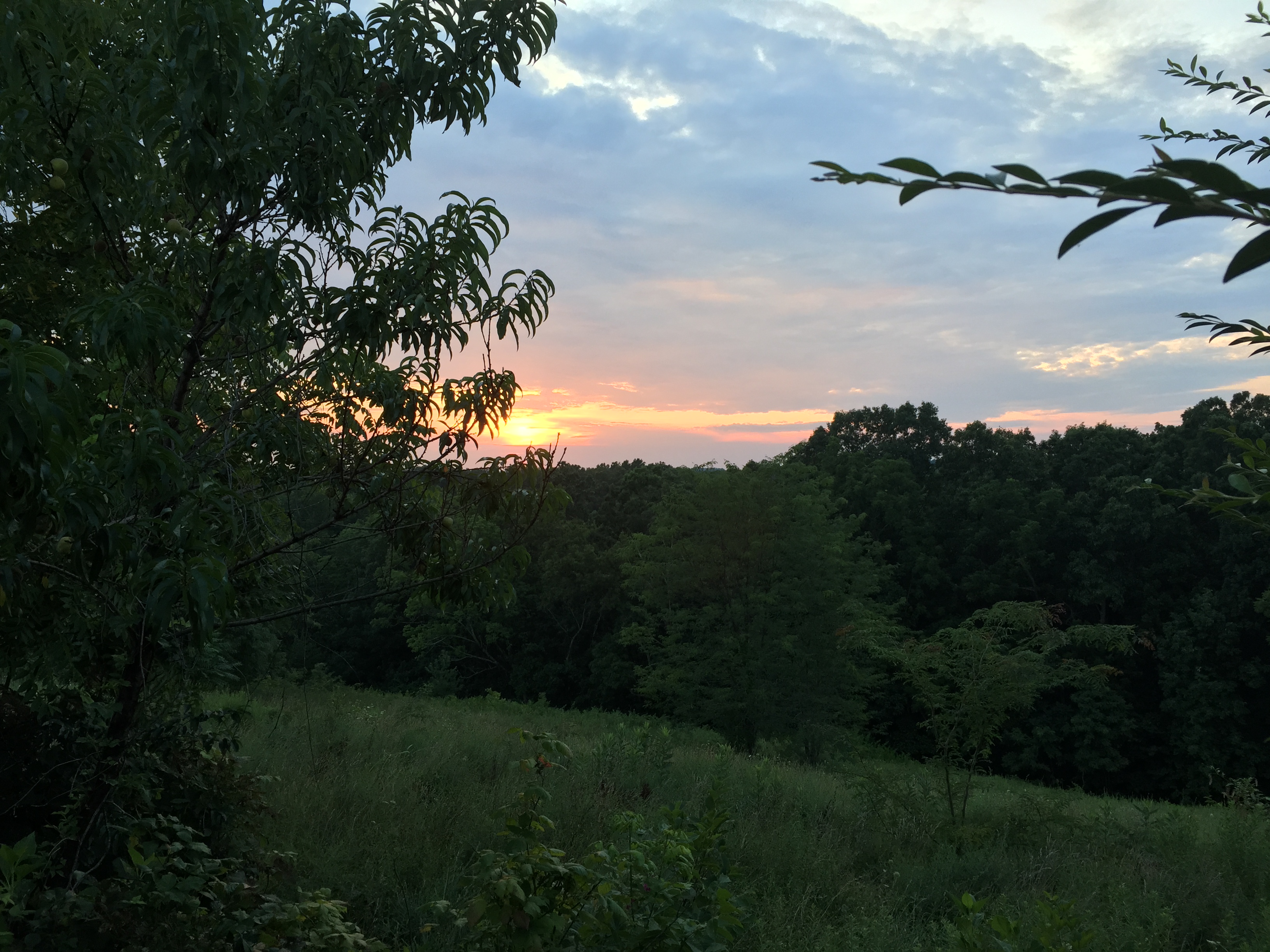
Sunrise on Parton Loop

Parrottsville Country
sunset behind the lodge

Sunset with iPhone Toycamera
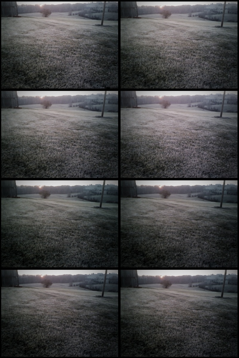
Sunset with iPhone Toycamera

Sunrise over the hill

Sun Setting On A Forgotten Homested - 2

Houston Valley
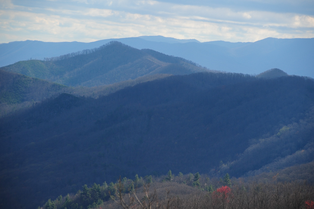
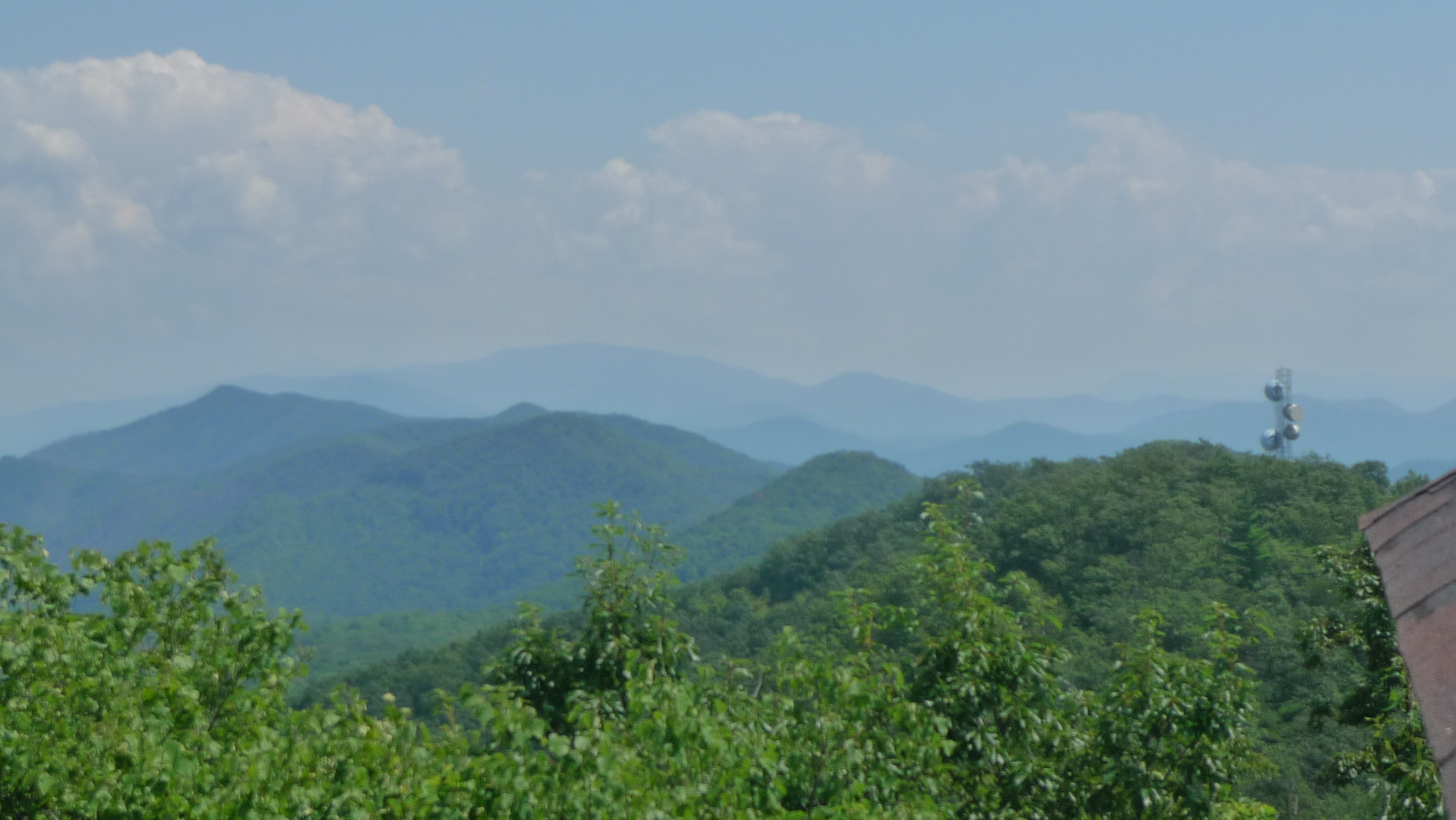
View of W4T/SU-073 - Cliffy Benchmark

View of Cliffy Benchmark Ridgeline from Meadow Creek Firetower

W4T/SU-073 - Cliffy Benchmark View
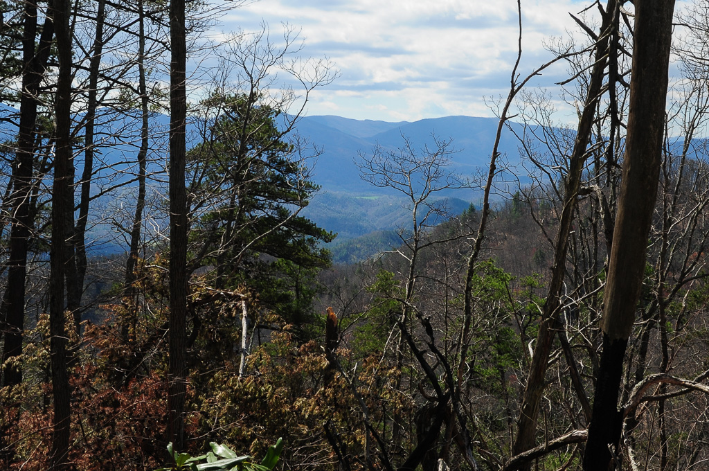
Trail View from W4T/SU-073 - Cliffy Benchmark
View from Meadow Creek Lookout

View from Meadow Creek Firetower

Trail Intersection heading to W4T/SU-095 - Paint Mtn
Cocke County Rd, Greeneville, TN アメリカ合衆国の地図
別の場所を検索
近所の場所
Olivet Mountain Rd, Greeneville, TN アメリカ合衆国
アメリカ合衆国 〒 テネシー州 ガム・スプリング
アメリカ合衆国 〒 テネシー州 シダー・クリーク
アメリカ合衆国 〒 テネシー州 ペイント山
Paint Mountain Rd, Greeneville, TN アメリカ合衆国ペイント・マウンテン・ロード
Houston Valley Rd, Greeneville, TN アメリカ合衆国
Wild Turkey Ln, Greeneville, TN アメリカ合衆国
Lower Paint Creek Rd, Greeneville, TN アメリカ合衆国
Joe Pye Ln, Greeneville, TN アメリカ合衆国
アメリカ合衆国 〒 ノース・カロライナ州 ペイント・ロック
Rebel Dr, Hot Springs, NC アメリカ合衆国
Paint Rock Rd, Hot Springs, NC アメリカ合衆国
Paint Rock Rd, Hot Springs, NC アメリカ合衆国
Lower Paint Creek Rd, Greeneville, TN アメリカ合衆国
Rollins Chapel Rd, Greeneville, TN アメリカ合衆国
Hazel Shelton Ln, Greeneville, TN アメリカ合衆国
Kitchen Branch Rd, Greeneville, TN アメリカ合衆国
Island Hollow Rd, 6, Hot Springs, NC アメリカ合衆国アイランド・ホロー・ロード
Upper Shut In Rd, Hot Springs, NC アメリカ合衆国
E Lawson Rd, Hot Springs, NC アメリカ合衆国イースト・ローソン・ロード
最近の検索
- アメリカ合衆国 アラスカ州 レッド・ドッグ・マイン日の出日の入り時間
- Am bhf, Borken, ドイツアム・バーンホーフ日の出日の入り時間
- 4th St E, Sonoma, CA, USA日の出日の入り時間
- Oakland Ave, Williamsport, PA アメリカ合衆国日の出日の入り時間
- Via Roma, Pieranica CR, イタリアローマ通り日の出日の入り時間
- クロアチア 〒 ドゥブロブニク GradClock Tower of Dubrovnik日の出日の入り時間
- アルゼンチン チュブ州 トレリュー日の出日の入り時間
- Hartfords Bluff Cir, Mt Pleasant, SC アメリカ合衆国日の出日の入り時間
- 日本、熊本県熊本市北区日の出日の入り時間
- 中華人民共和国 福州市 平潭県 平潭島日の出日の入り時間