アメリカ合衆国 オレゴン州 クラカマス日の出日の入り時間
Location: アメリカ合衆国 > オレゴン州 >
時間帯:
America/Los_Angeles
現地時間:
2025-06-20 12:30:26
経度:
-122.1188945
緯度:
45.2023855
今日の日の出時刻:
05:21:05 AM
今日の日の入時刻:
08:59:50 PM
今日の日長:
15h 38m 45s
明日の日の出時刻:
05:21:21 AM
明日の日の入時刻:
09:00:00 PM
明日の日長:
15h 38m 39s
すべて表示する
| 日付 | 日出 | 日没 | 日長 |
|---|---|---|---|
| 2025年01月01日 | 07:47:21 AM | 04:38:03 PM | 8h 50m 42s |
| 2025年01月02日 | 07:47:18 AM | 04:39:01 PM | 8h 51m 43s |
| 2025年01月03日 | 07:47:12 AM | 04:40:01 PM | 8h 52m 49s |
| 2025年01月04日 | 07:47:04 AM | 04:41:03 PM | 8h 53m 59s |
| 2025年01月05日 | 07:46:53 AM | 04:42:06 PM | 8h 55m 13s |
| 2025年01月06日 | 07:46:39 AM | 04:43:11 PM | 8h 56m 32s |
| 2025年01月07日 | 07:46:23 AM | 04:44:18 PM | 8h 57m 55s |
| 2025年01月08日 | 07:46:05 AM | 04:45:26 PM | 8h 59m 21s |
| 2025年01月09日 | 07:45:43 AM | 04:46:36 PM | 9h 0m 53s |
| 2025年01月10日 | 07:45:20 AM | 04:47:47 PM | 9h 2m 27s |
| 2025年01月11日 | 07:44:53 AM | 04:48:59 PM | 9h 4m 6s |
| 2025年01月12日 | 07:44:24 AM | 04:50:13 PM | 9h 5m 49s |
| 2025年01月13日 | 07:43:53 AM | 04:51:27 PM | 9h 7m 34s |
| 2025年01月14日 | 07:43:19 AM | 04:52:43 PM | 9h 9m 24s |
| 2025年01月15日 | 07:42:43 AM | 04:54:00 PM | 9h 11m 17s |
| 2025年01月16日 | 07:42:05 AM | 04:55:18 PM | 9h 13m 13s |
| 2025年01月17日 | 07:41:24 AM | 04:56:37 PM | 9h 15m 13s |
| 2025年01月18日 | 07:40:40 AM | 04:57:57 PM | 9h 17m 17s |
| 2025年01月19日 | 07:39:55 AM | 04:59:17 PM | 9h 19m 22s |
| 2025年01月20日 | 07:39:07 AM | 05:00:39 PM | 9h 21m 32s |
| 2025年01月21日 | 07:38:17 AM | 05:02:01 PM | 9h 23m 44s |
| 2025年01月22日 | 07:37:24 AM | 05:03:24 PM | 9h 26m 0s |
| 2025年01月23日 | 07:36:30 AM | 05:04:47 PM | 9h 28m 17s |
| 2025年01月24日 | 07:35:33 AM | 05:06:11 PM | 9h 30m 38s |
| 2025年01月25日 | 07:34:34 AM | 05:07:35 PM | 9h 33m 1s |
| 2025年01月26日 | 07:33:34 AM | 05:09:00 PM | 9h 35m 26s |
| 2025年01月27日 | 07:32:31 AM | 05:10:25 PM | 9h 37m 54s |
| 2025年01月28日 | 07:31:26 AM | 05:11:50 PM | 9h 40m 24s |
| 2025年01月29日 | 07:30:20 AM | 05:13:16 PM | 9h 42m 56s |
| 2025年01月30日 | 07:29:11 AM | 05:14:42 PM | 9h 45m 31s |
| 2025年01月31日 | 07:28:01 AM | 05:16:08 PM | 9h 48m 7s |
| 2025年02月01日 | 07:26:49 AM | 05:17:35 PM | 9h 50m 46s |
| 2025年02月02日 | 07:25:35 AM | 05:19:01 PM | 9h 53m 26s |
| 2025年02月03日 | 07:24:19 AM | 05:20:28 PM | 9h 56m 9s |
| 2025年02月04日 | 07:23:02 AM | 05:21:55 PM | 9h 58m 53s |
| 2025年02月05日 | 07:21:43 AM | 05:23:21 PM | 10h 1m 38s |
| 2025年02月06日 | 07:20:22 AM | 05:24:48 PM | 10h 4m 26s |
| 2025年02月07日 | 07:19:00 AM | 05:26:15 PM | 10h 7m 15s |
| 2025年02月08日 | 07:17:37 AM | 05:27:41 PM | 10h 10m 4s |
| 2025年02月09日 | 07:16:12 AM | 05:29:08 PM | 10h 12m 56s |
| 2025年02月10日 | 07:14:45 AM | 05:30:34 PM | 10h 15m 49s |
| 2025年02月11日 | 07:13:17 AM | 05:32:01 PM | 10h 18m 44s |
| 2025年02月12日 | 07:11:48 AM | 05:33:27 PM | 10h 21m 39s |
| 2025年02月13日 | 07:10:17 AM | 05:34:53 PM | 10h 24m 36s |
| 2025年02月14日 | 07:08:46 AM | 05:36:19 PM | 10h 27m 33s |
| 2025年02月15日 | 07:07:13 AM | 05:37:44 PM | 10h 30m 31s |
| 2025年02月16日 | 07:05:38 AM | 05:39:10 PM | 10h 33m 32s |
| 2025年02月17日 | 07:04:03 AM | 05:40:35 PM | 10h 36m 32s |
| 2025年02月18日 | 07:02:27 AM | 05:42:00 PM | 10h 39m 33s |
| 2025年02月19日 | 07:00:49 AM | 05:43:24 PM | 10h 42m 35s |
| 2025年02月20日 | 06:59:11 AM | 05:44:49 PM | 10h 45m 38s |
| 2025年02月21日 | 06:57:31 AM | 05:46:13 PM | 10h 48m 42s |
| 2025年02月22日 | 06:55:50 AM | 05:47:37 PM | 10h 51m 47s |
| 2025年02月23日 | 06:54:09 AM | 05:49:00 PM | 10h 54m 51s |
| 2025年02月24日 | 06:52:27 AM | 05:50:24 PM | 10h 57m 57s |
| 2025年02月25日 | 06:50:43 AM | 05:51:47 PM | 11h 1m 4s |
| 2025年02月26日 | 06:49:00 AM | 05:53:09 PM | 11h 4m 9s |
| 2025年02月27日 | 06:47:15 AM | 05:54:32 PM | 11h 7m 17s |
| 2025年02月28日 | 06:45:29 AM | 05:55:54 PM | 11h 10m 25s |
| 2025年03月01日 | 06:43:43 AM | 05:57:16 PM | 11h 13m 33s |
| 2025年03月02日 | 06:41:56 AM | 05:58:37 PM | 11h 16m 41s |
| 2025年03月03日 | 06:40:09 AM | 05:59:59 PM | 11h 19m 50s |
| 2025年03月04日 | 06:38:20 AM | 06:01:20 PM | 11h 23m 0s |
| 2025年03月05日 | 06:36:32 AM | 06:02:41 PM | 11h 26m 9s |
| 2025年03月06日 | 06:34:43 AM | 06:04:01 PM | 11h 29m 18s |
| 2025年03月07日 | 06:32:53 AM | 06:05:21 PM | 11h 32m 28s |
| 2025年03月08日 | 06:31:03 AM | 06:06:41 PM | 11h 35m 38s |
| 2025年03月09日 | 07:29:17 AM | 07:07:58 PM | 11h 38m 41s |
| 2025年03月10日 | 07:27:26 AM | 07:09:17 PM | 11h 41m 51s |
| 2025年03月11日 | 07:25:34 AM | 07:10:37 PM | 11h 45m 3s |
| 2025年03月12日 | 07:23:42 AM | 07:11:56 PM | 11h 48m 14s |
| 2025年03月13日 | 07:21:50 AM | 07:13:15 PM | 11h 51m 25s |
| 2025年03月14日 | 07:19:58 AM | 07:14:33 PM | 11h 54m 35s |
| 2025年03月15日 | 07:18:06 AM | 07:15:52 PM | 11h 57m 46s |
| 2025年03月16日 | 07:16:13 AM | 07:17:10 PM | 12h 0m 57s |
| 2025年03月17日 | 07:14:20 AM | 07:18:28 PM | 12h 4m 8s |
| 2025年03月18日 | 07:12:27 AM | 07:19:46 PM | 12h 7m 19s |
| 2025年03月19日 | 07:10:33 AM | 07:21:04 PM | 12h 10m 31s |
| 2025年03月20日 | 07:08:40 AM | 07:22:22 PM | 12h 13m 42s |
| 2025年03月21日 | 07:06:47 AM | 07:23:39 PM | 12h 16m 52s |
| 2025年03月22日 | 07:04:53 AM | 07:24:57 PM | 12h 20m 4s |
| 2025年03月23日 | 07:03:00 AM | 07:26:14 PM | 12h 23m 14s |
| 2025年03月24日 | 07:01:06 AM | 07:27:31 PM | 12h 26m 25s |
| 2025年03月25日 | 06:59:13 AM | 07:28:48 PM | 12h 29m 35s |
| 2025年03月26日 | 06:57:20 AM | 07:30:05 PM | 12h 32m 45s |
| 2025年03月27日 | 06:55:27 AM | 07:31:22 PM | 12h 35m 55s |
| 2025年03月28日 | 06:53:34 AM | 07:32:39 PM | 12h 39m 5s |
| 2025年03月29日 | 06:51:41 AM | 07:33:56 PM | 12h 42m 15s |
| 2025年03月30日 | 06:49:49 AM | 07:35:13 PM | 12h 45m 24s |
| 2025年03月31日 | 06:47:56 AM | 07:36:29 PM | 12h 48m 33s |
| 2025年04月01日 | 06:46:05 AM | 07:37:46 PM | 12h 51m 41s |
| 2025年04月02日 | 06:44:13 AM | 07:39:02 PM | 12h 54m 49s |
| 2025年04月03日 | 06:42:22 AM | 07:40:19 PM | 12h 57m 57s |
| 2025年04月04日 | 06:40:31 AM | 07:41:36 PM | 13h 1m 5s |
| 2025年04月05日 | 06:38:40 AM | 07:42:52 PM | 13h 4m 12s |
| 2025年04月06日 | 06:36:50 AM | 07:44:09 PM | 13h 7m 19s |
| 2025年04月07日 | 06:35:00 AM | 07:45:25 PM | 13h 10m 25s |
| 2025年04月08日 | 06:33:11 AM | 07:46:42 PM | 13h 13m 31s |
| 2025年04月09日 | 06:31:23 AM | 07:47:58 PM | 13h 16m 35s |
| 2025年04月10日 | 06:29:35 AM | 07:49:15 PM | 13h 19m 40s |
| 2025年04月11日 | 06:27:47 AM | 07:50:31 PM | 13h 22m 44s |
| 2025年04月12日 | 06:26:01 AM | 07:51:48 PM | 13h 25m 47s |
| 2025年04月13日 | 06:24:14 AM | 07:53:04 PM | 13h 28m 50s |
| 2025年04月14日 | 06:22:29 AM | 07:54:20 PM | 13h 31m 51s |
| 2025年04月15日 | 06:20:44 AM | 07:55:37 PM | 13h 34m 53s |
| 2025年04月16日 | 06:19:01 AM | 07:56:53 PM | 13h 37m 52s |
| 2025年04月17日 | 06:17:17 AM | 07:58:10 PM | 13h 40m 53s |
| 2025年04月18日 | 06:15:35 AM | 07:59:26 PM | 13h 43m 51s |
| 2025年04月19日 | 06:13:54 AM | 08:00:43 PM | 13h 46m 49s |
| 2025年04月20日 | 06:12:13 AM | 08:01:59 PM | 13h 49m 46s |
| 2025年04月21日 | 06:10:34 AM | 08:03:15 PM | 13h 52m 41s |
| 2025年04月22日 | 06:08:55 AM | 08:04:31 PM | 13h 55m 36s |
| 2025年04月23日 | 06:07:18 AM | 08:05:47 PM | 13h 58m 29s |
| 2025年04月24日 | 06:05:41 AM | 08:07:04 PM | 14h 1m 23s |
| 2025年04月25日 | 06:04:06 AM | 08:08:19 PM | 14h 4m 13s |
| 2025年04月26日 | 06:02:32 AM | 08:09:35 PM | 14h 7m 3s |
| 2025年04月27日 | 06:00:58 AM | 08:10:51 PM | 14h 9m 53s |
| 2025年04月28日 | 05:59:26 AM | 08:12:07 PM | 14h 12m 41s |
| 2025年04月29日 | 05:57:56 AM | 08:13:22 PM | 14h 15m 26s |
| 2025年04月30日 | 05:56:26 AM | 08:14:37 PM | 14h 18m 11s |
| 2025年05月01日 | 05:54:58 AM | 08:15:52 PM | 14h 20m 54s |
| 2025年05月02日 | 05:53:31 AM | 08:17:07 PM | 14h 23m 36s |
| 2025年05月03日 | 05:52:06 AM | 08:18:21 PM | 14h 26m 15s |
| 2025年05月04日 | 05:50:42 AM | 08:19:35 PM | 14h 28m 53s |
| 2025年05月05日 | 05:49:19 AM | 08:20:49 PM | 14h 31m 30s |
| 2025年05月06日 | 05:47:58 AM | 08:22:03 PM | 14h 34m 5s |
| 2025年05月07日 | 05:46:38 AM | 08:23:16 PM | 14h 36m 38s |
| 2025年05月08日 | 05:45:20 AM | 08:24:28 PM | 14h 39m 8s |
| 2025年05月09日 | 05:44:04 AM | 08:25:41 PM | 14h 41m 37s |
| 2025年05月10日 | 05:42:49 AM | 08:26:52 PM | 14h 44m 3s |
| 2025年05月11日 | 05:41:36 AM | 08:28:04 PM | 14h 46m 28s |
| 2025年05月12日 | 05:40:24 AM | 08:29:14 PM | 14h 48m 50s |
| 2025年05月13日 | 05:39:15 AM | 08:30:24 PM | 14h 51m 9s |
| 2025年05月14日 | 05:38:07 AM | 08:31:34 PM | 14h 53m 27s |
| 2025年05月15日 | 05:37:01 AM | 08:32:43 PM | 14h 55m 42s |
| 2025年05月16日 | 05:35:56 AM | 08:33:51 PM | 14h 57m 55s |
| 2025年05月17日 | 05:34:54 AM | 08:34:58 PM | 15h 0m 4s |
| 2025年05月18日 | 05:33:53 AM | 08:36:04 PM | 15h 2m 11s |
| 2025年05月19日 | 05:32:55 AM | 08:37:10 PM | 15h 4m 15s |
| 2025年05月20日 | 05:31:58 AM | 08:38:15 PM | 15h 6m 17s |
| 2025年05月21日 | 05:31:04 AM | 08:39:18 PM | 15h 8m 14s |
| 2025年05月22日 | 05:30:11 AM | 08:40:21 PM | 15h 10m 10s |
| 2025年05月23日 | 05:29:21 AM | 08:41:23 PM | 15h 12m 2s |
| 2025年05月24日 | 05:28:32 AM | 08:42:24 PM | 15h 13m 52s |
| 2025年05月25日 | 05:27:46 AM | 08:43:23 PM | 15h 15m 37s |
| 2025年05月26日 | 05:27:02 AM | 08:44:21 PM | 15h 17m 19s |
| 2025年05月27日 | 05:26:20 AM | 08:45:18 PM | 15h 18m 58s |
| 2025年05月28日 | 05:25:40 AM | 08:46:14 PM | 15h 20m 34s |
| 2025年05月29日 | 05:25:02 AM | 08:47:08 PM | 15h 22m 6s |
| 2025年05月30日 | 05:24:27 AM | 08:48:01 PM | 15h 23m 34s |
| 2025年05月31日 | 05:23:54 AM | 08:48:53 PM | 15h 24m 59s |
| 2025年06月01日 | 05:23:23 AM | 08:49:43 PM | 15h 26m 20s |
| 2025年06月02日 | 05:22:55 AM | 08:50:31 PM | 15h 27m 36s |
| 2025年06月03日 | 05:22:28 AM | 08:51:18 PM | 15h 28m 50s |
| 2025年06月04日 | 05:22:05 AM | 08:52:03 PM | 15h 29m 58s |
| 2025年06月05日 | 05:21:43 AM | 08:52:47 PM | 15h 31m 4s |
| 2025年06月06日 | 05:21:24 AM | 08:53:29 PM | 15h 32m 5s |
| 2025年06月07日 | 05:21:07 AM | 08:54:08 PM | 15h 33m 1s |
| 2025年06月08日 | 05:20:52 AM | 08:54:47 PM | 15h 33m 55s |
| 2025年06月09日 | 05:20:40 AM | 08:55:23 PM | 15h 34m 43s |
| 2025年06月10日 | 05:20:30 AM | 08:55:57 PM | 15h 35m 27s |
| 2025年06月11日 | 05:20:23 AM | 08:56:29 PM | 15h 36m 6s |
| 2025年06月12日 | 05:20:18 AM | 08:57:00 PM | 15h 36m 42s |
| 2025年06月13日 | 05:20:15 AM | 08:57:28 PM | 15h 37m 13s |
| 2025年06月14日 | 05:20:14 AM | 08:57:54 PM | 15h 37m 40s |
| 2025年06月15日 | 05:20:16 AM | 08:58:18 PM | 15h 38m 2s |
| 2025年06月16日 | 05:20:20 AM | 08:58:40 PM | 15h 38m 20s |
| 2025年06月17日 | 05:20:27 AM | 08:59:00 PM | 15h 38m 33s |
| 2025年06月18日 | 05:20:35 AM | 08:59:17 PM | 15h 38m 42s |
| 2025年06月19日 | 05:20:46 AM | 08:59:33 PM | 15h 38m 47s |
| 2025年06月20日 | 05:20:59 AM | 08:59:46 PM | 15h 38m 47s |
| 2025年06月21日 | 05:21:15 AM | 08:59:56 PM | 15h 38m 41s |
| 2025年06月22日 | 05:21:32 AM | 09:00:05 PM | 15h 38m 33s |
| 2025年06月23日 | 05:21:52 AM | 09:00:11 PM | 15h 38m 19s |
| 2025年06月24日 | 05:22:14 AM | 09:00:14 PM | 15h 38m 0s |
| 2025年06月25日 | 05:22:37 AM | 09:00:16 PM | 15h 37m 39s |
| 2025年06月26日 | 05:23:03 AM | 09:00:15 PM | 15h 37m 12s |
| 2025年06月27日 | 05:23:31 AM | 09:00:11 PM | 15h 36m 40s |
| 2025年06月28日 | 05:24:01 AM | 09:00:06 PM | 15h 36m 5s |
| 2025年06月29日 | 05:24:33 AM | 08:59:58 PM | 15h 35m 25s |
| 2025年06月30日 | 05:25:07 AM | 08:59:47 PM | 15h 34m 40s |
| 2025年07月01日 | 05:25:42 AM | 08:59:34 PM | 15h 33m 52s |
| 2025年07月02日 | 05:26:19 AM | 08:59:19 PM | 15h 33m 0s |
| 2025年07月03日 | 05:26:59 AM | 08:59:01 PM | 15h 32m 2s |
| 2025年07月04日 | 05:27:39 AM | 08:58:41 PM | 15h 31m 2s |
| 2025年07月05日 | 05:28:22 AM | 08:58:18 PM | 15h 29m 56s |
| 2025年07月06日 | 05:29:06 AM | 08:57:54 PM | 15h 28m 48s |
| 2025年07月07日 | 05:29:52 AM | 08:57:26 PM | 15h 27m 34s |
| 2025年07月08日 | 05:30:39 AM | 08:56:57 PM | 15h 26m 18s |
| 2025年07月09日 | 05:31:27 AM | 08:56:25 PM | 15h 24m 58s |
| 2025年07月10日 | 05:32:17 AM | 08:55:51 PM | 15h 23m 34s |
| 2025年07月11日 | 05:33:09 AM | 08:55:15 PM | 15h 22m 6s |
| 2025年07月12日 | 05:34:02 AM | 08:54:36 PM | 15h 20m 34s |
| 2025年07月13日 | 05:34:56 AM | 08:53:55 PM | 15h 18m 59s |
| 2025年07月14日 | 05:35:51 AM | 08:53:12 PM | 15h 17m 21s |
| 2025年07月15日 | 05:36:47 AM | 08:52:26 PM | 15h 15m 39s |
| 2025年07月16日 | 05:37:45 AM | 08:51:39 PM | 15h 13m 54s |
| 2025年07月17日 | 05:38:43 AM | 08:50:49 PM | 15h 12m 6s |
| 2025年07月18日 | 05:39:43 AM | 08:49:58 PM | 15h 10m 15s |
| 2025年07月19日 | 05:40:43 AM | 08:49:04 PM | 15h 8m 21s |
| 2025年07月20日 | 05:41:45 AM | 08:48:08 PM | 15h 6m 23s |
| 2025年07月21日 | 05:42:47 AM | 08:47:10 PM | 15h 4m 23s |
| 2025年07月22日 | 05:43:50 AM | 08:46:10 PM | 15h 2m 20s |
| 2025年07月23日 | 05:44:54 AM | 08:45:08 PM | 15h 0m 14s |
| 2025年07月24日 | 05:45:59 AM | 08:44:05 PM | 14h 58m 6s |
| 2025年07月25日 | 05:47:04 AM | 08:42:59 PM | 14h 55m 55s |
| 2025年07月26日 | 05:48:10 AM | 08:41:52 PM | 14h 53m 42s |
| 2025年07月27日 | 05:49:17 AM | 08:40:42 PM | 14h 51m 25s |
| 2025年07月28日 | 05:50:24 AM | 08:39:31 PM | 14h 49m 7s |
| 2025年07月29日 | 05:51:32 AM | 08:38:19 PM | 14h 46m 47s |
| 2025年07月30日 | 05:52:40 AM | 08:37:04 PM | 14h 44m 24s |
| 2025年07月31日 | 05:53:49 AM | 08:35:48 PM | 14h 41m 59s |
| 2025年08月01日 | 05:54:58 AM | 08:34:30 PM | 14h 39m 32s |
| 2025年08月02日 | 05:56:07 AM | 08:33:11 PM | 14h 37m 4s |
| 2025年08月03日 | 05:57:17 AM | 08:31:50 PM | 14h 34m 33s |
| 2025年08月04日 | 05:58:27 AM | 08:30:27 PM | 14h 32m 0s |
| 2025年08月05日 | 05:59:37 AM | 08:29:03 PM | 14h 29m 26s |
| 2025年08月06日 | 06:00:48 AM | 08:27:38 PM | 14h 26m 50s |
| 2025年08月07日 | 06:01:59 AM | 08:26:11 PM | 14h 24m 12s |
| 2025年08月08日 | 06:03:10 AM | 08:24:43 PM | 14h 21m 33s |
| 2025年08月09日 | 06:04:22 AM | 08:23:13 PM | 14h 18m 51s |
| 2025年08月10日 | 06:05:33 AM | 08:21:42 PM | 14h 16m 9s |
| 2025年08月11日 | 06:06:45 AM | 08:20:10 PM | 14h 13m 25s |
| 2025年08月12日 | 06:07:56 AM | 08:18:37 PM | 14h 10m 41s |
| 2025年08月13日 | 06:09:08 AM | 08:17:02 PM | 14h 7m 54s |
| 2025年08月14日 | 06:10:20 AM | 08:15:27 PM | 14h 5m 7s |
| 2025年08月15日 | 06:11:32 AM | 08:13:50 PM | 14h 2m 18s |
| 2025年08月16日 | 06:12:44 AM | 08:12:12 PM | 13h 59m 28s |
| 2025年08月17日 | 06:13:56 AM | 08:10:33 PM | 13h 56m 37s |
| 2025年08月18日 | 06:15:09 AM | 08:08:53 PM | 13h 53m 44s |
| 2025年08月19日 | 06:16:21 AM | 08:07:12 PM | 13h 50m 51s |
| 2025年08月20日 | 06:17:33 AM | 08:05:30 PM | 13h 47m 57s |
| 2025年08月21日 | 06:18:45 AM | 08:03:47 PM | 13h 45m 2s |
| 2025年08月22日 | 06:19:57 AM | 08:02:04 PM | 13h 42m 7s |
| 2025年08月23日 | 06:21:10 AM | 08:00:19 PM | 13h 39m 9s |
| 2025年08月24日 | 06:22:22 AM | 07:58:34 PM | 13h 36m 12s |
| 2025年08月25日 | 06:23:34 AM | 07:56:47 PM | 13h 33m 13s |
| 2025年08月26日 | 06:24:46 AM | 07:55:01 PM | 13h 30m 15s |
| 2025年08月27日 | 06:25:58 AM | 07:53:13 PM | 13h 27m 15s |
| 2025年08月28日 | 06:27:10 AM | 07:51:25 PM | 13h 24m 15s |
| 2025年08月29日 | 06:28:22 AM | 07:49:36 PM | 13h 21m 14s |
| 2025年08月30日 | 06:29:34 AM | 07:47:46 PM | 13h 18m 12s |
| 2025年08月31日 | 06:30:46 AM | 07:45:56 PM | 13h 15m 10s |
| 2025年09月01日 | 06:31:58 AM | 07:44:06 PM | 13h 12m 8s |
| 2025年09月02日 | 06:33:10 AM | 07:42:14 PM | 13h 9m 4s |
| 2025年09月03日 | 06:34:22 AM | 07:40:23 PM | 13h 6m 1s |
| 2025年09月04日 | 06:35:34 AM | 07:38:31 PM | 13h 2m 57s |
| 2025年09月05日 | 06:36:46 AM | 07:36:38 PM | 12h 59m 52s |
| 2025年09月06日 | 06:37:58 AM | 07:34:45 PM | 12h 56m 47s |
| 2025年09月07日 | 06:39:09 AM | 07:32:52 PM | 12h 53m 43s |
| 2025年09月08日 | 06:40:21 AM | 07:30:58 PM | 12h 50m 37s |
| 2025年09月09日 | 06:41:33 AM | 07:29:04 PM | 12h 47m 31s |
| 2025年09月10日 | 06:42:45 AM | 07:27:10 PM | 12h 44m 25s |
| 2025年09月11日 | 06:43:57 AM | 07:25:15 PM | 12h 41m 18s |
| 2025年09月12日 | 06:45:09 AM | 07:23:21 PM | 12h 38m 12s |
| 2025年09月13日 | 06:46:21 AM | 07:21:26 PM | 12h 35m 5s |
| 2025年09月14日 | 06:47:34 AM | 07:19:31 PM | 12h 31m 57s |
| 2025年09月15日 | 06:48:46 AM | 07:17:36 PM | 12h 28m 50s |
| 2025年09月16日 | 06:49:58 AM | 07:15:41 PM | 12h 25m 43s |
| 2025年09月17日 | 06:51:10 AM | 07:13:45 PM | 12h 22m 35s |
| 2025年09月18日 | 06:52:23 AM | 07:11:50 PM | 12h 19m 27s |
| 2025年09月19日 | 06:53:36 AM | 07:09:55 PM | 12h 16m 19s |
| 2025年09月20日 | 06:54:48 AM | 07:07:59 PM | 12h 13m 11s |
| 2025年09月21日 | 06:56:01 AM | 07:06:04 PM | 12h 10m 3s |
| 2025年09月22日 | 06:57:14 AM | 07:04:09 PM | 12h 6m 55s |
| 2025年09月23日 | 06:58:27 AM | 07:02:14 PM | 12h 3m 47s |
| 2025年09月24日 | 06:59:41 AM | 07:00:19 PM | 12h 0m 38s |
| 2025年09月25日 | 07:00:54 AM | 06:58:25 PM | 11h 57m 31s |
| 2025年09月26日 | 07:02:08 AM | 06:56:30 PM | 11h 54m 22s |
| 2025年09月27日 | 07:03:22 AM | 06:54:36 PM | 11h 51m 14s |
| 2025年09月28日 | 07:04:36 AM | 06:52:42 PM | 11h 48m 6s |
| 2025年09月29日 | 07:05:50 AM | 06:50:48 PM | 11h 44m 58s |
| 2025年09月30日 | 07:07:05 AM | 06:48:55 PM | 11h 41m 50s |
| 2025年10月01日 | 07:08:20 AM | 06:47:02 PM | 11h 38m 42s |
| 2025年10月02日 | 07:09:35 AM | 06:45:10 PM | 11h 35m 35s |
| 2025年10月03日 | 07:10:50 AM | 06:43:18 PM | 11h 32m 28s |
| 2025年10月04日 | 07:12:05 AM | 06:41:26 PM | 11h 29m 21s |
| 2025年10月05日 | 07:13:21 AM | 06:39:35 PM | 11h 26m 14s |
| 2025年10月06日 | 07:14:37 AM | 06:37:44 PM | 11h 23m 7s |
| 2025年10月07日 | 07:15:54 AM | 06:35:54 PM | 11h 20m 0s |
| 2025年10月08日 | 07:17:10 AM | 06:34:05 PM | 11h 16m 55s |
| 2025年10月09日 | 07:18:27 AM | 06:32:16 PM | 11h 13m 49s |
| 2025年10月10日 | 07:19:44 AM | 06:30:28 PM | 11h 10m 44s |
| 2025年10月11日 | 07:21:02 AM | 06:28:40 PM | 11h 7m 38s |
| 2025年10月12日 | 07:22:20 AM | 06:26:54 PM | 11h 4m 34s |
| 2025年10月13日 | 07:23:38 AM | 06:25:08 PM | 11h 1m 30s |
| 2025年10月14日 | 07:24:56 AM | 06:23:22 PM | 10h 58m 26s |
| 2025年10月15日 | 07:26:15 AM | 06:21:38 PM | 10h 55m 23s |
| 2025年10月16日 | 07:27:34 AM | 06:19:55 PM | 10h 52m 21s |
| 2025年10月17日 | 07:28:54 AM | 06:18:12 PM | 10h 49m 18s |
| 2025年10月18日 | 07:30:13 AM | 06:16:30 PM | 10h 46m 17s |
| 2025年10月19日 | 07:31:33 AM | 06:14:50 PM | 10h 43m 17s |
| 2025年10月20日 | 07:32:53 AM | 06:13:10 PM | 10h 40m 17s |
| 2025年10月21日 | 07:34:14 AM | 06:11:31 PM | 10h 37m 17s |
| 2025年10月22日 | 07:35:35 AM | 06:09:54 PM | 10h 34m 19s |
| 2025年10月23日 | 07:36:56 AM | 06:08:18 PM | 10h 31m 22s |
| 2025年10月24日 | 07:38:17 AM | 06:06:42 PM | 10h 28m 25s |
| 2025年10月25日 | 07:39:39 AM | 06:05:08 PM | 10h 25m 29s |
| 2025年10月26日 | 07:41:01 AM | 06:03:36 PM | 10h 22m 35s |
| 2025年10月27日 | 07:42:23 AM | 06:02:04 PM | 10h 19m 41s |
| 2025年10月28日 | 07:43:45 AM | 06:00:34 PM | 10h 16m 49s |
| 2025年10月29日 | 07:45:08 AM | 05:59:05 PM | 10h 13m 57s |
| 2025年10月30日 | 07:46:30 AM | 05:57:38 PM | 10h 11m 8s |
| 2025年10月31日 | 07:47:53 AM | 05:56:12 PM | 10h 8m 19s |
| 2025年11月01日 | 07:49:16 AM | 05:54:47 PM | 10h 5m 31s |
| 2025年11月02日 | 06:50:42 AM | 04:53:21 PM | 10h 2m 39s |
| 2025年11月03日 | 06:52:05 AM | 04:52:00 PM | 9h 59m 55s |
| 2025年11月04日 | 06:53:28 AM | 04:50:40 PM | 9h 57m 12s |
| 2025年11月05日 | 06:54:52 AM | 04:49:22 PM | 9h 54m 30s |
| 2025年11月06日 | 06:56:15 AM | 04:48:06 PM | 9h 51m 51s |
| 2025年11月07日 | 06:57:38 AM | 04:46:51 PM | 9h 49m 13s |
| 2025年11月08日 | 06:59:01 AM | 04:45:38 PM | 9h 46m 37s |
| 2025年11月09日 | 07:00:24 AM | 04:44:27 PM | 9h 44m 3s |
| 2025年11月10日 | 07:01:46 AM | 04:43:18 PM | 9h 41m 32s |
| 2025年11月11日 | 07:03:09 AM | 04:42:11 PM | 9h 39m 2s |
| 2025年11月12日 | 07:04:31 AM | 04:41:05 PM | 9h 36m 34s |
| 2025年11月13日 | 07:05:53 AM | 04:40:02 PM | 9h 34m 9s |
| 2025年11月14日 | 07:07:14 AM | 04:39:01 PM | 9h 31m 47s |
| 2025年11月15日 | 07:08:36 AM | 04:38:02 PM | 9h 29m 26s |
| 2025年11月16日 | 07:09:56 AM | 04:37:04 PM | 9h 27m 8s |
| 2025年11月17日 | 07:11:17 AM | 04:36:09 PM | 9h 24m 52s |
| 2025年11月18日 | 07:12:37 AM | 04:35:17 PM | 9h 22m 40s |
| 2025年11月19日 | 07:13:56 AM | 04:34:26 PM | 9h 20m 30s |
| 2025年11月20日 | 07:15:14 AM | 04:33:38 PM | 9h 18m 24s |
| 2025年11月21日 | 07:16:32 AM | 04:32:52 PM | 9h 16m 20s |
| 2025年11月22日 | 07:17:49 AM | 04:32:08 PM | 9h 14m 19s |
| 2025年11月23日 | 07:19:05 AM | 04:31:27 PM | 9h 12m 22s |
| 2025年11月24日 | 07:20:21 AM | 04:30:48 PM | 9h 10m 27s |
| 2025年11月25日 | 07:21:35 AM | 04:30:11 PM | 9h 8m 36s |
| 2025年11月26日 | 07:22:49 AM | 04:29:37 PM | 9h 6m 48s |
| 2025年11月27日 | 07:24:01 AM | 04:29:06 PM | 9h 5m 5s |
| 2025年11月28日 | 07:25:12 AM | 04:28:37 PM | 9h 3m 25s |
| 2025年11月29日 | 07:26:22 AM | 04:28:10 PM | 9h 1m 48s |
| 2025年11月30日 | 07:27:31 AM | 04:27:46 PM | 9h 0m 15s |
| 2025年12月01日 | 07:28:38 AM | 04:27:25 PM | 8h 58m 47s |
| 2025年12月02日 | 07:29:45 AM | 04:27:06 PM | 8h 57m 21s |
| 2025年12月03日 | 07:30:49 AM | 04:26:50 PM | 8h 56m 1s |
| 2025年12月04日 | 07:31:52 AM | 04:26:37 PM | 8h 54m 45s |
| 2025年12月05日 | 07:32:54 AM | 04:26:26 PM | 8h 53m 32s |
| 2025年12月06日 | 07:33:54 AM | 04:26:18 PM | 8h 52m 24s |
| 2025年12月07日 | 07:34:52 AM | 04:26:12 PM | 8h 51m 20s |
| 2025年12月08日 | 07:35:48 AM | 04:26:09 PM | 8h 50m 21s |
| 2025年12月09日 | 07:36:43 AM | 04:26:09 PM | 8h 49m 26s |
| 2025年12月10日 | 07:37:35 AM | 04:26:12 PM | 8h 48m 37s |
| 2025年12月11日 | 07:38:26 AM | 04:26:17 PM | 8h 47m 51s |
| 2025年12月12日 | 07:39:15 AM | 04:26:25 PM | 8h 47m 10s |
| 2025年12月13日 | 07:40:01 AM | 04:26:36 PM | 8h 46m 35s |
| 2025年12月14日 | 07:40:46 AM | 04:26:49 PM | 8h 46m 3s |
| 2025年12月15日 | 07:41:28 AM | 04:27:05 PM | 8h 45m 37s |
| 2025年12月16日 | 07:42:09 AM | 04:27:23 PM | 8h 45m 14s |
| 2025年12月17日 | 07:42:47 AM | 04:27:44 PM | 8h 44m 57s |
| 2025年12月18日 | 07:43:22 AM | 04:28:08 PM | 8h 44m 46s |
| 2025年12月19日 | 07:43:55 AM | 04:28:34 PM | 8h 44m 39s |
| 2025年12月20日 | 07:44:26 AM | 04:29:03 PM | 8h 44m 37s |
| 2025年12月21日 | 07:44:55 AM | 04:29:34 PM | 8h 44m 39s |
| 2025年12月22日 | 07:45:21 AM | 04:30:07 PM | 8h 44m 46s |
| 2025年12月23日 | 07:45:44 AM | 04:30:44 PM | 8h 45m 0s |
| 2025年12月24日 | 07:46:05 AM | 04:31:22 PM | 8h 45m 17s |
| 2025年12月25日 | 07:46:24 AM | 04:32:03 PM | 8h 45m 39s |
| 2025年12月26日 | 07:46:40 AM | 04:32:46 PM | 8h 46m 6s |
| 2025年12月27日 | 07:46:53 AM | 04:33:31 PM | 8h 46m 38s |
| 2025年12月28日 | 07:47:04 AM | 04:34:19 PM | 8h 47m 15s |
| 2025年12月29日 | 07:47:12 AM | 04:35:08 PM | 8h 47m 56s |
| 2025年12月30日 | 07:47:18 AM | 04:36:00 PM | 8h 48m 42s |
| 2025年12月31日 | 07:47:21 AM | 04:36:54 PM | 8h 49m 33s |
写真

DSC_0491
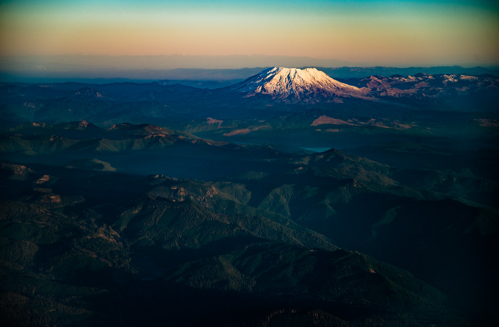
St. Helens sunrise from above

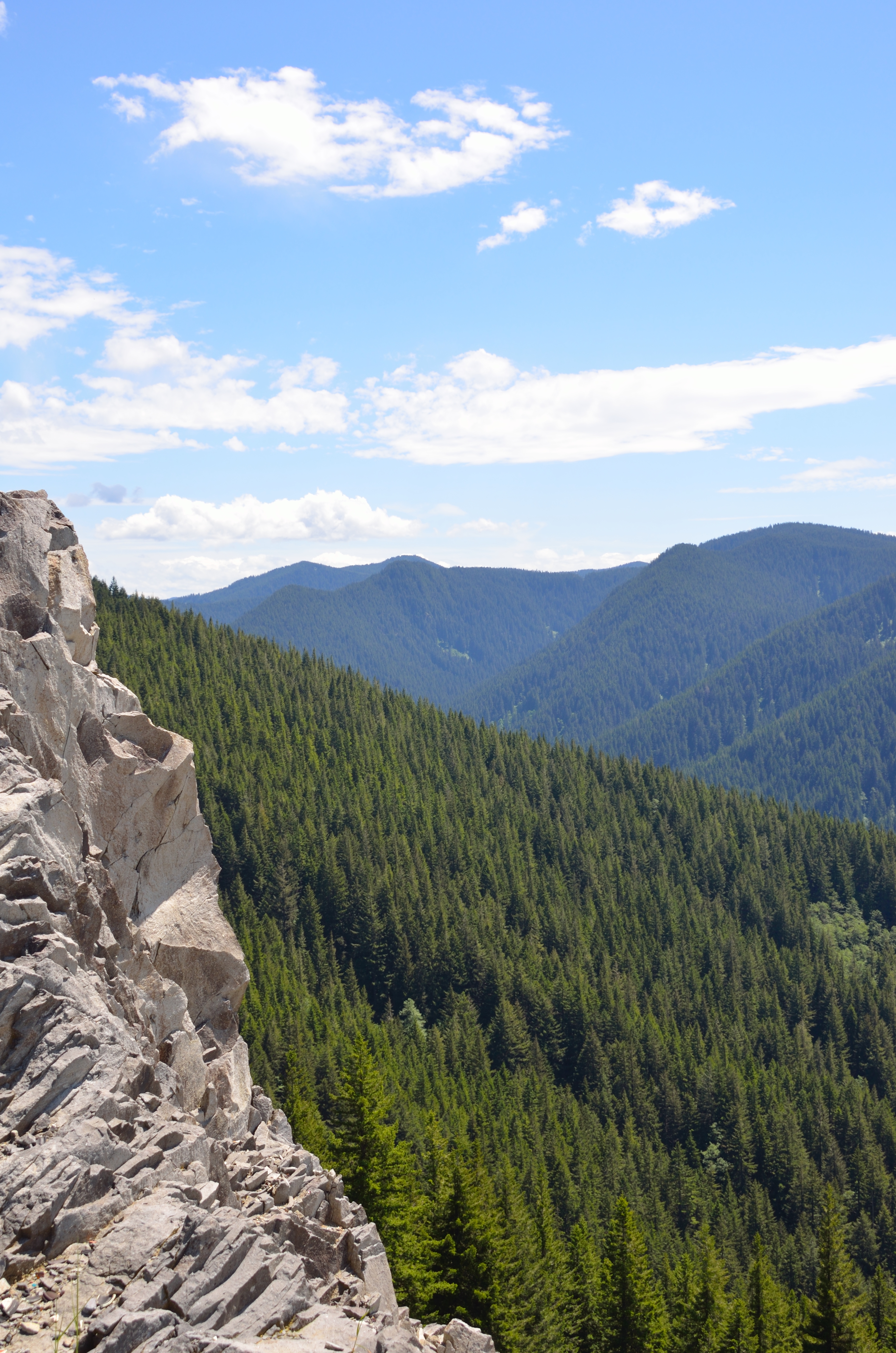
Clackamas River Trail
First glimpse

Thirty Seconds on Fish Creek
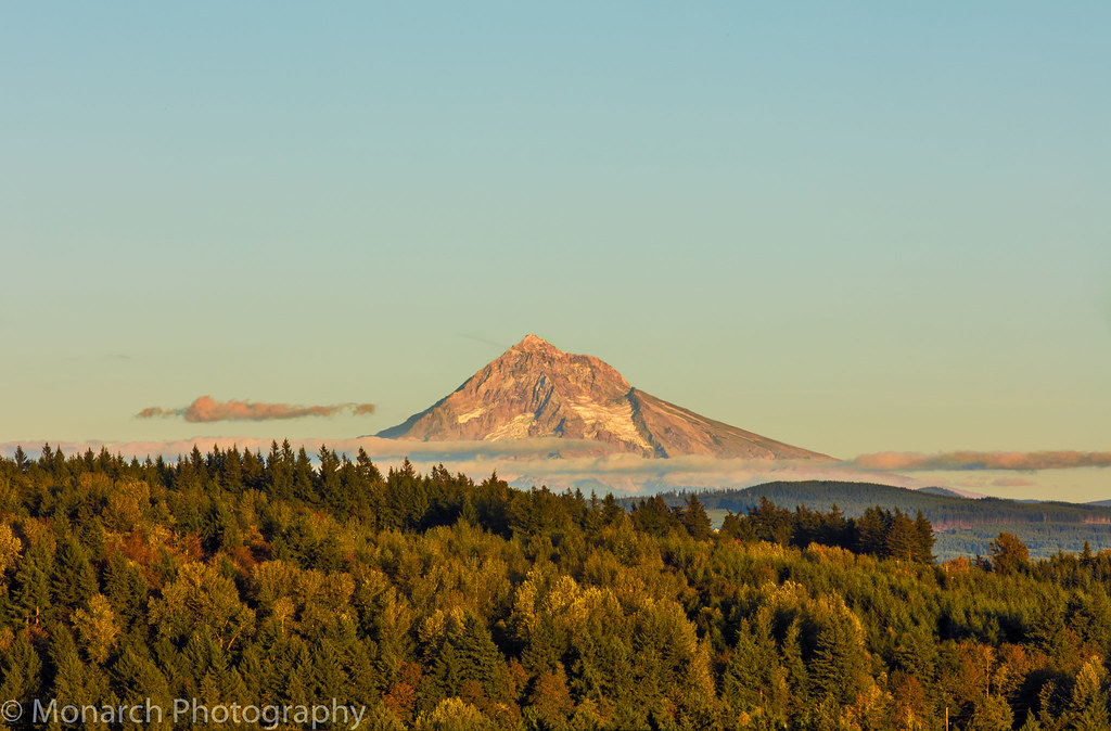
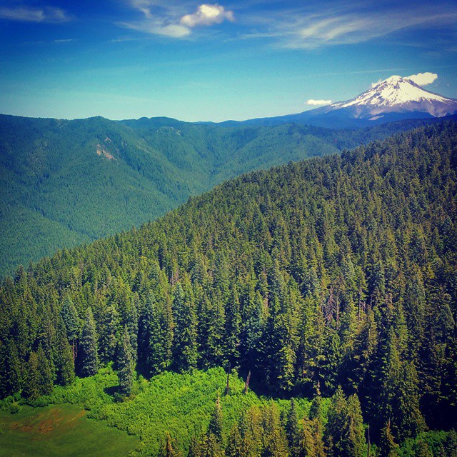
Mount Hood...Up Close!

Hideaway Creek Falls

Views from the summit of Salmon Butte, site of an old fire lookout.
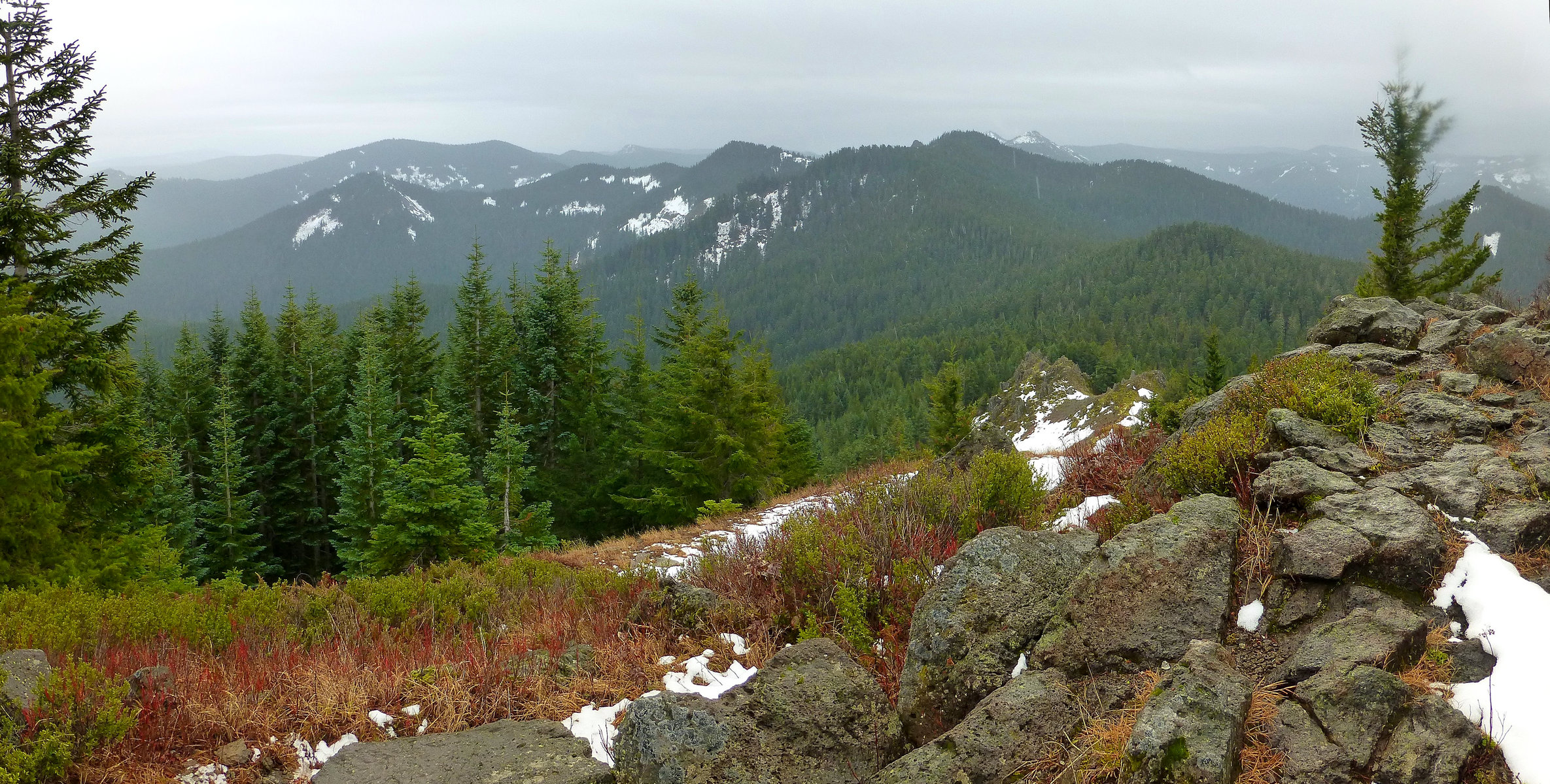
Views from the summit of Salmon Butte, site of an old fire lookout.
View out over the Eagle Creek Valley
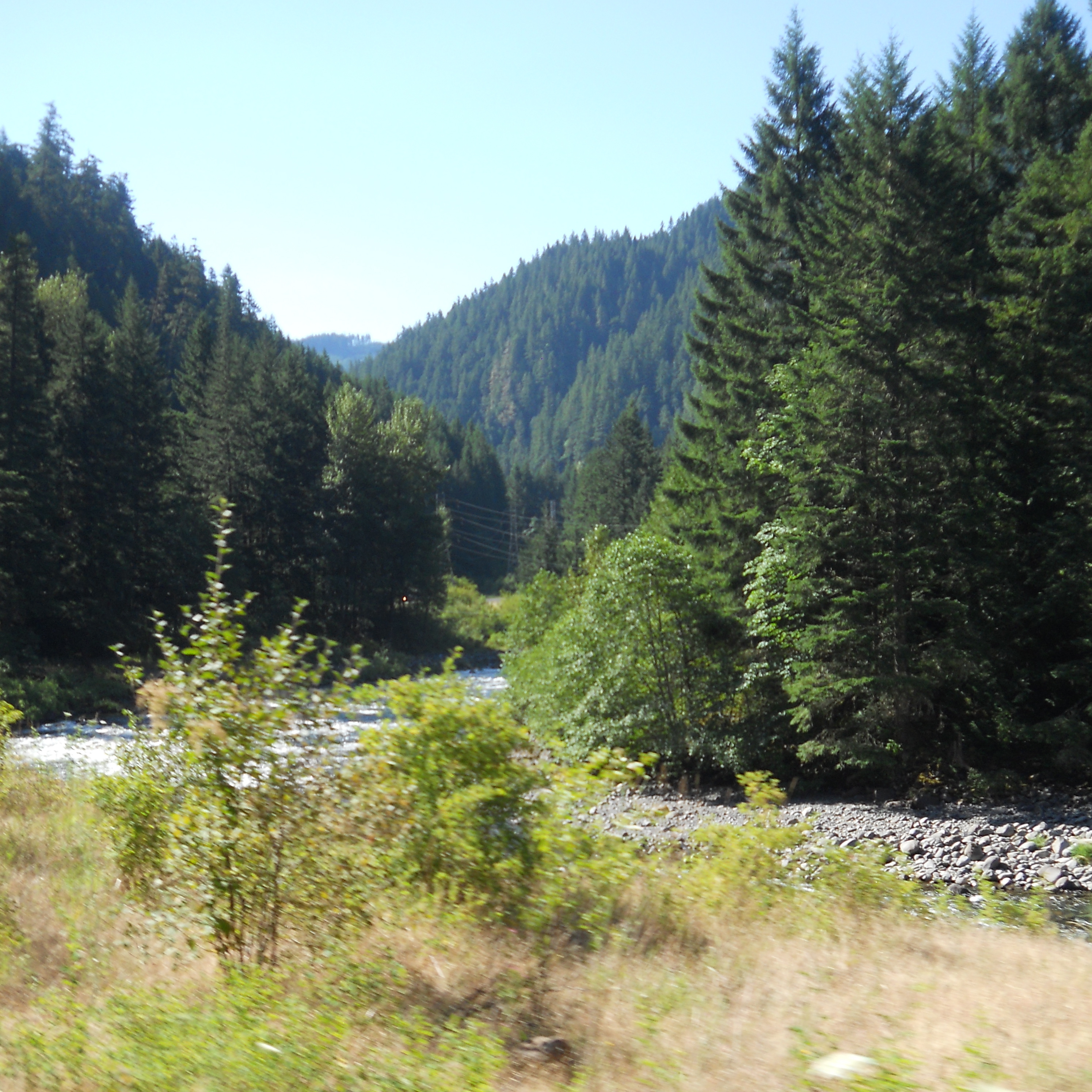
A scenic view along the Clackamas
The scary #hiking scramble over to a cliff outcropping near the summit was worth it, if only for the views of Mount Hood and the Eagle Creek Valley below.
アメリカ合衆国 オレゴン州 クラカマスの地図
別の場所を検索
アメリカ合衆国 オレゴン州 クラカマスでの場所
アメリカ合衆国 〒 オレゴン州 オレゴンシティ
アメリカ合衆国 〒 オレゴン州 サンディー
アメリカ合衆国 オレゴン州 レイクオスウィーゴ
アメリカ合衆国 オレゴン州 ハッピーバレー
アメリカ合衆国 オレゴン州 ウェストリン
アメリカ合衆国 オレゴン州 ビーヴァークリーク
アメリカ合衆国 オレゴン州 ボーリング
アメリカ合衆国 オレゴン州 コルトン
アメリカ合衆国 オレゴン州 イーグル・クリーク
アメリカ合衆国 〒 オレゴン州 モララ
アメリカ合衆国 〒 オレゴン州 エスタカーダ
アメリカ合衆国 〒 オレゴン州 ガバメント・キャンプ
アメリカ合衆国 オレゴン州 マリーノ
アメリカ合衆国 オレゴン州 マウント・フッド・ビレッジ
アメリカ合衆国 〒 オレゴン州 キャンビー
アメリカ合衆国 〒 オレゴン州 ロードデンドロン
アメリカ合衆国 オレゴン州 ダマスカス
アメリカ合衆国 オレゴン州 ミルウォーキー
アメリカ合衆国 オレゴン州 ウィルソンヴィル
アメリカ合衆国 オレゴン州 グラッドストーン
アメリカ合衆国 オレゴン州 クラッカマス
アメリカ合衆国 オレゴン州 オーク・グローブ
アメリカ合衆国 オレゴン州 シュレイナー・ピーク
アメリカ合衆国 オレゴン州 オートフィールド
アメリカ合衆国 〒 オレゴン州 オルダー・クリーク
アメリカ合衆国 オレゴン州 ジェニングス・ロッジ
アメリカ合衆国 〒 オレゴン州 ウィルホイト
アメリカ合衆国 〒 オレゴン州 グレン・エイボン
NF-42, Maupin, OR アメリカ合衆国ナショナル・フォレスト・デベロップメント・ロード 42
アメリカ合衆国 〒 オレゴン州 バーロウ
アメリカ合衆国 〒 オレゴン州 レッドランド
アメリカ合衆国 〒 オレゴン州 ビオラ
近所の場所
SE Bowman Rd, Estacada, OR アメリカ合衆国サウスイースト・ボウマン・ロード
SE Buzz Rd, Estacada, OR アメリカ合衆国サウスイースト・バズ・ロード
SE Webber Rd, Sandy, OR アメリカ合衆国Southeast Webber Road
SE Brian Ranch Rd, Sandy, OR アメリカ合衆国
SE Brian Ranch Rd, Sandy, OR アメリカ合衆国
SE Nelson Rd, Sandy, OR アメリカ合衆国
SE George Rd, Estacada, OR アメリカ合衆国
SE Kleinsmith Rd, Oregon, アメリカ合衆国サウスイースト・クレインスミス・ロード
SE Pagh Rd, Sandy, OR アメリカ合衆国
SE Tumala Mountain Rd, Estacada, OR アメリカ合衆国
SE Pagh Rd, Sandy, OR アメリカ合衆国
S Skinner Rd, Estacada, OR アメリカ合衆国
SE Surface Rd, Estacada, OR アメリカ合衆国
SE Tracy Rd, Estacada, OR アメリカ合衆国
SE Moss Hill Rd, Estacada, OR アメリカ合衆国
S E Cranbrooke Ln, Estacada, OR アメリカ合衆国
S Kinzy Rd, Estacada, OR アメリカ合衆国
SE Tracy Rd, Estacada, OR アメリカ合衆国
OR-, Estacada, OR アメリカ合衆国
SE Coupland Rd, Estacada, OR アメリカ合衆国
最近の検索
- アメリカ合衆国 アラスカ州 レッド・ドッグ・マイン日の出日の入り時間
- Am bhf, Borken, ドイツアム・バーンホーフ日の出日の入り時間
- 4th St E, Sonoma, CA, USA日の出日の入り時間
- Oakland Ave, Williamsport, PA アメリカ合衆国日の出日の入り時間
- Via Roma, Pieranica CR, イタリアローマ通り日の出日の入り時間
- クロアチア 〒 ドゥブロブニク GradClock Tower of Dubrovnik日の出日の入り時間
- アルゼンチン チュブ州 トレリュー日の出日の入り時間
- Hartfords Bluff Cir, Mt Pleasant, SC アメリカ合衆国日の出日の入り時間
- 日本、熊本県熊本市北区日の出日の入り時間
- 中華人民共和国 福州市 平潭県 平潭島日の出日の入り時間