アメリカ合衆国 ニューメキシコ州 セロ・デ・ラ・オラ日の出日の入り時間
Location: アメリカ合衆国 > ニューメキシコ州 > タオス >
時間帯:
America/Denver
現地時間:
2025-06-22 23:00:14
経度:
-105.798898
緯度:
36.7561312
今日の日の出時刻:
05:45:16 AM
今日の日の入時刻:
08:25:56 PM
今日の日長:
14h 40m 40s
明日の日の出時刻:
05:45:34 AM
明日の日の入時刻:
08:26:04 PM
明日の日長:
14h 40m 30s
すべて表示する
| 日付 | 日出 | 日没 | 日長 |
|---|---|---|---|
| 2025年01月01日 | 07:15:55 AM | 04:58:51 PM | 9h 42m 56s |
| 2025年01月02日 | 07:16:01 AM | 04:59:40 PM | 9h 43m 39s |
| 2025年01月03日 | 07:16:05 AM | 05:00:30 PM | 9h 44m 25s |
| 2025年01月04日 | 07:16:07 AM | 05:01:21 PM | 9h 45m 14s |
| 2025年01月05日 | 07:16:07 AM | 05:02:14 PM | 9h 46m 7s |
| 2025年01月06日 | 07:16:05 AM | 05:03:08 PM | 9h 47m 3s |
| 2025年01月07日 | 07:16:01 AM | 05:04:02 PM | 9h 48m 1s |
| 2025年01月08日 | 07:15:55 AM | 05:04:58 PM | 9h 49m 3s |
| 2025年01月09日 | 07:15:47 AM | 05:05:54 PM | 9h 50m 7s |
| 2025年01月10日 | 07:15:37 AM | 05:06:52 PM | 9h 51m 15s |
| 2025年01月11日 | 07:15:25 AM | 05:07:50 PM | 9h 52m 25s |
| 2025年01月12日 | 07:15:11 AM | 05:08:49 PM | 9h 53m 38s |
| 2025年01月13日 | 07:14:55 AM | 05:09:48 PM | 9h 54m 53s |
| 2025年01月14日 | 07:14:37 AM | 05:10:49 PM | 9h 56m 12s |
| 2025年01月15日 | 07:14:17 AM | 05:11:49 PM | 9h 57m 32s |
| 2025年01月16日 | 07:13:55 AM | 05:12:51 PM | 9h 58m 56s |
| 2025年01月17日 | 07:13:31 AM | 05:13:53 PM | 10h 0m 22s |
| 2025年01月18日 | 07:13:05 AM | 05:14:55 PM | 10h 1m 50s |
| 2025年01月19日 | 07:12:38 AM | 05:15:58 PM | 10h 3m 20s |
| 2025年01月20日 | 07:12:08 AM | 05:17:01 PM | 10h 4m 53s |
| 2025年01月21日 | 07:11:37 AM | 05:18:05 PM | 10h 6m 28s |
| 2025年01月22日 | 07:11:03 AM | 05:19:08 PM | 10h 8m 5s |
| 2025年01月23日 | 07:10:28 AM | 05:20:12 PM | 10h 9m 44s |
| 2025年01月24日 | 07:09:51 AM | 05:21:17 PM | 10h 11m 26s |
| 2025年01月25日 | 07:09:13 AM | 05:22:21 PM | 10h 13m 8s |
| 2025年01月26日 | 07:08:32 AM | 05:23:26 PM | 10h 14m 54s |
| 2025年01月27日 | 07:07:50 AM | 05:24:30 PM | 10h 16m 40s |
| 2025年01月28日 | 07:07:06 AM | 05:25:35 PM | 10h 18m 29s |
| 2025年01月29日 | 07:06:21 AM | 05:26:40 PM | 10h 20m 19s |
| 2025年01月30日 | 07:05:34 AM | 05:27:45 PM | 10h 22m 11s |
| 2025年01月31日 | 07:04:45 AM | 05:28:49 PM | 10h 24m 4s |
| 2025年02月01日 | 07:03:55 AM | 05:29:54 PM | 10h 25m 59s |
| 2025年02月02日 | 07:03:03 AM | 05:30:59 PM | 10h 27m 56s |
| 2025年02月03日 | 07:02:09 AM | 05:32:03 PM | 10h 29m 54s |
| 2025年02月04日 | 07:01:14 AM | 05:33:08 PM | 10h 31m 54s |
| 2025年02月05日 | 07:00:18 AM | 05:34:12 PM | 10h 33m 54s |
| 2025年02月06日 | 06:59:20 AM | 05:35:16 PM | 10h 35m 56s |
| 2025年02月07日 | 06:58:21 AM | 05:36:20 PM | 10h 37m 59s |
| 2025年02月08日 | 06:57:21 AM | 05:37:24 PM | 10h 40m 3s |
| 2025年02月09日 | 06:56:19 AM | 05:38:27 PM | 10h 42m 8s |
| 2025年02月10日 | 06:55:15 AM | 05:39:30 PM | 10h 44m 15s |
| 2025年02月11日 | 06:54:11 AM | 05:40:33 PM | 10h 46m 22s |
| 2025年02月12日 | 06:53:05 AM | 05:41:36 PM | 10h 48m 31s |
| 2025年02月13日 | 06:51:59 AM | 05:42:39 PM | 10h 50m 40s |
| 2025年02月14日 | 06:50:50 AM | 05:43:41 PM | 10h 52m 51s |
| 2025年02月15日 | 06:49:41 AM | 05:44:43 PM | 10h 55m 2s |
| 2025年02月16日 | 06:48:31 AM | 05:45:44 PM | 10h 57m 13s |
| 2025年02月17日 | 06:47:20 AM | 05:46:45 PM | 10h 59m 25s |
| 2025年02月18日 | 06:46:07 AM | 05:47:46 PM | 11h 1m 39s |
| 2025年02月19日 | 06:44:54 AM | 05:48:47 PM | 11h 3m 53s |
| 2025年02月20日 | 06:43:40 AM | 05:49:47 PM | 11h 6m 7s |
| 2025年02月21日 | 06:42:24 AM | 05:50:47 PM | 11h 8m 23s |
| 2025年02月22日 | 06:41:08 AM | 05:51:47 PM | 11h 10m 39s |
| 2025年02月23日 | 06:39:51 AM | 05:52:46 PM | 11h 12m 55s |
| 2025年02月24日 | 06:38:33 AM | 05:53:45 PM | 11h 15m 12s |
| 2025年02月25日 | 06:37:14 AM | 05:54:44 PM | 11h 17m 30s |
| 2025年02月26日 | 06:35:55 AM | 05:55:42 PM | 11h 19m 47s |
| 2025年02月27日 | 06:34:35 AM | 05:56:40 PM | 11h 22m 5s |
| 2025年02月28日 | 06:33:14 AM | 05:57:38 PM | 11h 24m 24s |
| 2025年03月01日 | 06:31:52 AM | 05:58:35 PM | 11h 26m 43s |
| 2025年03月02日 | 06:30:30 AM | 05:59:32 PM | 11h 29m 2s |
| 2025年03月03日 | 06:29:07 AM | 06:00:29 PM | 11h 31m 22s |
| 2025年03月04日 | 06:27:43 AM | 06:01:26 PM | 11h 33m 43s |
| 2025年03月05日 | 06:26:19 AM | 06:02:22 PM | 11h 36m 3s |
| 2025年03月06日 | 06:24:55 AM | 06:03:18 PM | 11h 38m 23s |
| 2025年03月07日 | 06:23:30 AM | 06:04:13 PM | 11h 40m 43s |
| 2025年03月08日 | 06:22:04 AM | 06:05:09 PM | 11h 43m 5s |
| 2025年03月09日 | 07:20:42 AM | 07:06:02 PM | 11h 45m 20s |
| 2025年03月10日 | 07:19:16 AM | 07:06:57 PM | 11h 47m 41s |
| 2025年03月11日 | 07:17:49 AM | 07:07:51 PM | 11h 50m 2s |
| 2025年03月12日 | 07:16:22 AM | 07:08:46 PM | 11h 52m 24s |
| 2025年03月13日 | 07:14:55 AM | 07:09:40 PM | 11h 54m 45s |
| 2025年03月14日 | 07:13:27 AM | 07:10:34 PM | 11h 57m 7s |
| 2025年03月15日 | 07:11:59 AM | 07:11:28 PM | 11h 59m 29s |
| 2025年03月16日 | 07:10:31 AM | 07:12:21 PM | 12h 1m 50s |
| 2025年03月17日 | 07:09:03 AM | 07:13:15 PM | 12h 4m 12s |
| 2025年03月18日 | 07:07:34 AM | 07:14:08 PM | 12h 6m 34s |
| 2025年03月19日 | 07:06:06 AM | 07:15:01 PM | 12h 8m 55s |
| 2025年03月20日 | 07:04:37 AM | 07:15:54 PM | 12h 11m 17s |
| 2025年03月21日 | 07:03:09 AM | 07:16:47 PM | 12h 13m 38s |
| 2025年03月22日 | 07:01:40 AM | 07:17:40 PM | 12h 16m 0s |
| 2025年03月23日 | 07:00:11 AM | 07:18:32 PM | 12h 18m 21s |
| 2025年03月24日 | 06:58:42 AM | 07:19:25 PM | 12h 20m 43s |
| 2025年03月25日 | 06:57:14 AM | 07:20:17 PM | 12h 23m 3s |
| 2025年03月26日 | 06:55:45 AM | 07:21:10 PM | 12h 25m 25s |
| 2025年03月27日 | 06:54:17 AM | 07:22:02 PM | 12h 27m 45s |
| 2025年03月28日 | 06:52:48 AM | 07:22:54 PM | 12h 30m 6s |
| 2025年03月29日 | 06:51:20 AM | 07:23:47 PM | 12h 32m 27s |
| 2025年03月30日 | 06:49:52 AM | 07:24:39 PM | 12h 34m 47s |
| 2025年03月31日 | 06:48:24 AM | 07:25:31 PM | 12h 37m 7s |
| 2025年04月01日 | 06:46:57 AM | 07:26:23 PM | 12h 39m 26s |
| 2025年04月02日 | 06:45:30 AM | 07:27:15 PM | 12h 41m 45s |
| 2025年04月03日 | 06:44:03 AM | 07:28:07 PM | 12h 44m 4s |
| 2025年04月04日 | 06:42:36 AM | 07:28:59 PM | 12h 46m 23s |
| 2025年04月05日 | 06:41:10 AM | 07:29:51 PM | 12h 48m 41s |
| 2025年04月06日 | 06:39:44 AM | 07:30:44 PM | 12h 51m 0s |
| 2025年04月07日 | 06:38:19 AM | 07:31:36 PM | 12h 53m 17s |
| 2025年04月08日 | 06:36:54 AM | 07:32:28 PM | 12h 55m 34s |
| 2025年04月09日 | 06:35:30 AM | 07:33:20 PM | 12h 57m 50s |
| 2025年04月10日 | 06:34:06 AM | 07:34:12 PM | 13h 0m 6s |
| 2025年04月11日 | 06:32:43 AM | 07:35:05 PM | 13h 2m 22s |
| 2025年04月12日 | 06:31:20 AM | 07:35:57 PM | 13h 4m 37s |
| 2025年04月13日 | 06:29:58 AM | 07:36:49 PM | 13h 6m 51s |
| 2025年04月14日 | 06:28:37 AM | 07:37:42 PM | 13h 9m 5s |
| 2025年04月15日 | 06:27:16 AM | 07:38:34 PM | 13h 11m 18s |
| 2025年04月16日 | 06:25:56 AM | 07:39:27 PM | 13h 13m 31s |
| 2025年04月17日 | 06:24:36 AM | 07:40:19 PM | 13h 15m 43s |
| 2025年04月18日 | 06:23:18 AM | 07:41:12 PM | 13h 17m 54s |
| 2025年04月19日 | 06:22:00 AM | 07:42:05 PM | 13h 20m 5s |
| 2025年04月20日 | 06:20:43 AM | 07:42:58 PM | 13h 22m 15s |
| 2025年04月21日 | 06:19:27 AM | 07:43:50 PM | 13h 24m 23s |
| 2025年04月22日 | 06:18:12 AM | 07:44:43 PM | 13h 26m 31s |
| 2025年04月23日 | 06:16:58 AM | 07:45:36 PM | 13h 28m 38s |
| 2025年04月24日 | 06:15:44 AM | 07:46:29 PM | 13h 30m 45s |
| 2025年04月25日 | 06:14:32 AM | 07:47:22 PM | 13h 32m 50s |
| 2025年04月26日 | 06:13:20 AM | 07:48:14 PM | 13h 34m 54s |
| 2025年04月27日 | 06:12:10 AM | 07:49:07 PM | 13h 36m 57s |
| 2025年04月28日 | 06:11:01 AM | 07:50:00 PM | 13h 38m 59s |
| 2025年04月29日 | 06:09:52 AM | 07:50:53 PM | 13h 41m 1s |
| 2025年04月30日 | 06:08:45 AM | 07:51:46 PM | 13h 43m 1s |
| 2025年05月01日 | 06:07:39 AM | 07:52:38 PM | 13h 44m 59s |
| 2025年05月02日 | 06:06:34 AM | 07:53:31 PM | 13h 46m 57s |
| 2025年05月03日 | 06:05:31 AM | 07:54:24 PM | 13h 48m 53s |
| 2025年05月04日 | 06:04:28 AM | 07:55:16 PM | 13h 50m 48s |
| 2025年05月05日 | 06:03:27 AM | 07:56:08 PM | 13h 52m 41s |
| 2025年05月06日 | 06:02:27 AM | 07:57:00 PM | 13h 54m 33s |
| 2025年05月07日 | 06:01:29 AM | 07:57:52 PM | 13h 56m 23s |
| 2025年05月08日 | 06:00:32 AM | 07:58:44 PM | 13h 58m 12s |
| 2025年05月09日 | 05:59:36 AM | 07:59:36 PM | 14h 0m 0s |
| 2025年05月10日 | 05:58:41 AM | 08:00:27 PM | 14h 1m 46s |
| 2025年05月11日 | 05:57:48 AM | 08:01:18 PM | 14h 3m 30s |
| 2025年05月12日 | 05:56:56 AM | 08:02:09 PM | 14h 5m 13s |
| 2025年05月13日 | 05:56:06 AM | 08:02:59 PM | 14h 6m 53s |
| 2025年05月14日 | 05:55:17 AM | 08:03:49 PM | 14h 8m 32s |
| 2025年05月15日 | 05:54:30 AM | 08:04:39 PM | 14h 10m 9s |
| 2025年05月16日 | 05:53:44 AM | 08:05:29 PM | 14h 11m 45s |
| 2025年05月17日 | 05:53:00 AM | 08:06:18 PM | 14h 13m 18s |
| 2025年05月18日 | 05:52:18 AM | 08:07:06 PM | 14h 14m 48s |
| 2025年05月19日 | 05:51:37 AM | 08:07:54 PM | 14h 16m 17s |
| 2025年05月20日 | 05:50:57 AM | 08:08:41 PM | 14h 17m 44s |
| 2025年05月21日 | 05:50:19 AM | 08:09:28 PM | 14h 19m 9s |
| 2025年05月22日 | 05:49:43 AM | 08:10:15 PM | 14h 20m 32s |
| 2025年05月23日 | 05:49:09 AM | 08:11:00 PM | 14h 21m 51s |
| 2025年05月24日 | 05:48:36 AM | 08:11:45 PM | 14h 23m 9s |
| 2025年05月25日 | 05:48:05 AM | 08:12:29 PM | 14h 24m 24s |
| 2025年05月26日 | 05:47:35 AM | 08:13:13 PM | 14h 25m 38s |
| 2025年05月27日 | 05:47:07 AM | 08:13:56 PM | 14h 26m 49s |
| 2025年05月28日 | 05:46:41 AM | 08:14:38 PM | 14h 27m 57s |
| 2025年05月29日 | 05:46:17 AM | 08:15:19 PM | 14h 29m 2s |
| 2025年05月30日 | 05:45:54 AM | 08:15:59 PM | 14h 30m 5s |
| 2025年05月31日 | 05:45:34 AM | 08:16:38 PM | 14h 31m 4s |
| 2025年06月01日 | 05:45:14 AM | 08:17:16 PM | 14h 32m 2s |
| 2025年06月02日 | 05:44:57 AM | 08:17:54 PM | 14h 32m 57s |
| 2025年06月03日 | 05:44:41 AM | 08:18:30 PM | 14h 33m 49s |
| 2025年06月04日 | 05:44:27 AM | 08:19:05 PM | 14h 34m 38s |
| 2025年06月05日 | 05:44:15 AM | 08:19:39 PM | 14h 35m 24s |
| 2025年06月06日 | 05:44:05 AM | 08:20:12 PM | 14h 36m 7s |
| 2025年06月07日 | 05:43:56 AM | 08:20:43 PM | 14h 36m 47s |
| 2025年06月08日 | 05:43:49 AM | 08:21:14 PM | 14h 37m 25s |
| 2025年06月09日 | 05:43:44 AM | 08:21:43 PM | 14h 37m 59s |
| 2025年06月10日 | 05:43:41 AM | 08:22:11 PM | 14h 38m 30s |
| 2025年06月11日 | 05:43:39 AM | 08:22:38 PM | 14h 38m 59s |
| 2025年06月12日 | 05:43:39 AM | 08:23:03 PM | 14h 39m 24s |
| 2025年06月13日 | 05:43:41 AM | 08:23:26 PM | 14h 39m 45s |
| 2025年06月14日 | 05:43:44 AM | 08:23:49 PM | 14h 40m 5s |
| 2025年06月15日 | 05:43:49 AM | 08:24:10 PM | 14h 40m 21s |
| 2025年06月16日 | 05:43:55 AM | 08:24:29 PM | 14h 40m 34s |
| 2025年06月17日 | 05:44:04 AM | 08:24:47 PM | 14h 40m 43s |
| 2025年06月18日 | 05:44:14 AM | 08:25:03 PM | 14h 40m 49s |
| 2025年06月19日 | 05:44:25 AM | 08:25:18 PM | 14h 40m 53s |
| 2025年06月20日 | 05:44:38 AM | 08:25:31 PM | 14h 40m 53s |
| 2025年06月21日 | 05:44:52 AM | 08:25:43 PM | 14h 40m 51s |
| 2025年06月22日 | 05:45:08 AM | 08:25:53 PM | 14h 40m 45s |
| 2025年06月23日 | 05:45:26 AM | 08:26:01 PM | 14h 40m 35s |
| 2025年06月24日 | 05:45:45 AM | 08:26:07 PM | 14h 40m 22s |
| 2025年06月25日 | 05:46:05 AM | 08:26:12 PM | 14h 40m 7s |
| 2025年06月26日 | 05:46:27 AM | 08:26:15 PM | 14h 39m 48s |
| 2025年06月27日 | 05:46:50 AM | 08:26:17 PM | 14h 39m 27s |
| 2025年06月28日 | 05:47:15 AM | 08:26:16 PM | 14h 39m 1s |
| 2025年06月29日 | 05:47:40 AM | 08:26:14 PM | 14h 38m 34s |
| 2025年06月30日 | 05:48:07 AM | 08:26:10 PM | 14h 38m 3s |
| 2025年07月01日 | 05:48:36 AM | 08:26:05 PM | 14h 37m 29s |
| 2025年07月02日 | 05:49:05 AM | 08:25:57 PM | 14h 36m 52s |
| 2025年07月03日 | 05:49:36 AM | 08:25:48 PM | 14h 36m 12s |
| 2025年07月04日 | 05:50:08 AM | 08:25:37 PM | 14h 35m 29s |
| 2025年07月05日 | 05:50:40 AM | 08:25:25 PM | 14h 34m 45s |
| 2025年07月06日 | 05:51:14 AM | 08:25:10 PM | 14h 33m 56s |
| 2025年07月07日 | 05:51:49 AM | 08:24:54 PM | 14h 33m 5s |
| 2025年07月08日 | 05:52:25 AM | 08:24:36 PM | 14h 32m 11s |
| 2025年07月09日 | 05:53:02 AM | 08:24:16 PM | 14h 31m 14s |
| 2025年07月10日 | 05:53:39 AM | 08:23:54 PM | 14h 30m 15s |
| 2025年07月11日 | 05:54:18 AM | 08:23:30 PM | 14h 29m 12s |
| 2025年07月12日 | 05:54:57 AM | 08:23:05 PM | 14h 28m 8s |
| 2025年07月13日 | 05:55:38 AM | 08:22:38 PM | 14h 27m 0s |
| 2025年07月14日 | 05:56:18 AM | 08:22:10 PM | 14h 25m 52s |
| 2025年07月15日 | 05:57:00 AM | 08:21:39 PM | 14h 24m 39s |
| 2025年07月16日 | 05:57:42 AM | 08:21:07 PM | 14h 23m 25s |
| 2025年07月17日 | 05:58:25 AM | 08:20:33 PM | 14h 22m 8s |
| 2025年07月18日 | 05:59:09 AM | 08:19:57 PM | 14h 20m 48s |
| 2025年07月19日 | 05:59:53 AM | 08:19:20 PM | 14h 19m 27s |
| 2025年07月20日 | 06:00:38 AM | 08:18:41 PM | 14h 18m 3s |
| 2025年07月21日 | 06:01:23 AM | 08:18:01 PM | 14h 16m 38s |
| 2025年07月22日 | 06:02:08 AM | 08:17:18 PM | 14h 15m 10s |
| 2025年07月23日 | 06:02:54 AM | 08:16:35 PM | 14h 13m 41s |
| 2025年07月24日 | 06:03:41 AM | 08:15:49 PM | 14h 12m 8s |
| 2025年07月25日 | 06:04:27 AM | 08:15:02 PM | 14h 10m 35s |
| 2025年07月26日 | 06:05:15 AM | 08:14:14 PM | 14h 8m 59s |
| 2025年07月27日 | 06:06:02 AM | 08:13:24 PM | 14h 7m 22s |
| 2025年07月28日 | 06:06:50 AM | 08:12:32 PM | 14h 5m 42s |
| 2025年07月29日 | 06:07:38 AM | 08:11:39 PM | 14h 4m 1s |
| 2025年07月30日 | 06:08:26 AM | 08:10:45 PM | 14h 2m 19s |
| 2025年07月31日 | 06:09:15 AM | 08:09:49 PM | 14h 0m 34s |
| 2025年08月01日 | 06:10:03 AM | 08:08:52 PM | 13h 58m 49s |
| 2025年08月02日 | 06:10:52 AM | 08:07:53 PM | 13h 57m 1s |
| 2025年08月03日 | 06:11:41 AM | 08:06:53 PM | 13h 55m 12s |
| 2025年08月04日 | 06:12:30 AM | 08:05:52 PM | 13h 53m 22s |
| 2025年08月05日 | 06:13:19 AM | 08:04:49 PM | 13h 51m 30s |
| 2025年08月06日 | 06:14:08 AM | 08:03:46 PM | 13h 49m 38s |
| 2025年08月07日 | 06:14:57 AM | 08:02:40 PM | 13h 47m 43s |
| 2025年08月08日 | 06:15:47 AM | 08:01:34 PM | 13h 45m 47s |
| 2025年08月09日 | 06:16:36 AM | 08:00:27 PM | 13h 43m 51s |
| 2025年08月10日 | 06:17:25 AM | 07:59:18 PM | 13h 41m 53s |
| 2025年08月11日 | 06:18:15 AM | 07:58:08 PM | 13h 39m 53s |
| 2025年08月12日 | 06:19:04 AM | 07:56:57 PM | 13h 37m 53s |
| 2025年08月13日 | 06:19:54 AM | 07:55:46 PM | 13h 35m 52s |
| 2025年08月14日 | 06:20:43 AM | 07:54:33 PM | 13h 33m 50s |
| 2025年08月15日 | 06:21:32 AM | 07:53:19 PM | 13h 31m 47s |
| 2025年08月16日 | 06:22:21 AM | 07:52:04 PM | 13h 29m 43s |
| 2025年08月17日 | 06:23:10 AM | 07:50:48 PM | 13h 27m 38s |
| 2025年08月18日 | 06:24:00 AM | 07:49:31 PM | 13h 25m 31s |
| 2025年08月19日 | 06:24:49 AM | 07:48:13 PM | 13h 23m 24s |
| 2025年08月20日 | 06:25:37 AM | 07:46:55 PM | 13h 21m 18s |
| 2025年08月21日 | 06:26:26 AM | 07:45:35 PM | 13h 19m 9s |
| 2025年08月22日 | 06:27:15 AM | 07:44:15 PM | 13h 17m 0s |
| 2025年08月23日 | 06:28:04 AM | 07:42:54 PM | 13h 14m 50s |
| 2025年08月24日 | 06:28:52 AM | 07:41:32 PM | 13h 12m 40s |
| 2025年08月25日 | 06:29:41 AM | 07:40:10 PM | 13h 10m 29s |
| 2025年08月26日 | 06:30:29 AM | 07:38:47 PM | 13h 8m 18s |
| 2025年08月27日 | 06:31:18 AM | 07:37:23 PM | 13h 6m 5s |
| 2025年08月28日 | 06:32:06 AM | 07:35:58 PM | 13h 3m 52s |
| 2025年08月29日 | 06:32:54 AM | 07:34:33 PM | 13h 1m 39s |
| 2025年08月30日 | 06:33:43 AM | 07:33:08 PM | 12h 59m 25s |
| 2025年08月31日 | 06:34:31 AM | 07:31:41 PM | 12h 57m 10s |
| 2025年09月01日 | 06:35:19 AM | 07:30:15 PM | 12h 54m 56s |
| 2025年09月02日 | 06:36:07 AM | 07:28:48 PM | 12h 52m 41s |
| 2025年09月03日 | 06:36:55 AM | 07:27:20 PM | 12h 50m 25s |
| 2025年09月04日 | 06:37:42 AM | 07:25:52 PM | 12h 48m 10s |
| 2025年09月05日 | 06:38:30 AM | 07:24:23 PM | 12h 45m 53s |
| 2025年09月06日 | 06:39:18 AM | 07:22:55 PM | 12h 43m 37s |
| 2025年09月07日 | 06:40:06 AM | 07:21:25 PM | 12h 41m 19s |
| 2025年09月08日 | 06:40:54 AM | 07:19:56 PM | 12h 39m 2s |
| 2025年09月09日 | 06:41:41 AM | 07:18:26 PM | 12h 36m 45s |
| 2025年09月10日 | 06:42:29 AM | 07:16:56 PM | 12h 34m 27s |
| 2025年09月11日 | 06:43:17 AM | 07:15:26 PM | 12h 32m 9s |
| 2025年09月12日 | 06:44:05 AM | 07:13:55 PM | 12h 29m 50s |
| 2025年09月13日 | 06:44:53 AM | 07:12:25 PM | 12h 27m 32s |
| 2025年09月14日 | 06:45:41 AM | 07:10:54 PM | 12h 25m 13s |
| 2025年09月15日 | 06:46:29 AM | 07:09:23 PM | 12h 22m 54s |
| 2025年09月16日 | 06:47:17 AM | 07:07:52 PM | 12h 20m 35s |
| 2025年09月17日 | 06:48:05 AM | 07:06:21 PM | 12h 18m 16s |
| 2025年09月18日 | 06:48:53 AM | 07:04:50 PM | 12h 15m 57s |
| 2025年09月19日 | 06:49:41 AM | 07:03:19 PM | 12h 13m 38s |
| 2025年09月20日 | 06:50:30 AM | 07:01:48 PM | 12h 11m 18s |
| 2025年09月21日 | 06:51:18 AM | 07:00:17 PM | 12h 8m 59s |
| 2025年09月22日 | 06:52:07 AM | 06:58:47 PM | 12h 6m 40s |
| 2025年09月23日 | 06:52:56 AM | 06:57:16 PM | 12h 4m 20s |
| 2025年09月24日 | 06:53:45 AM | 06:55:45 PM | 12h 2m 0s |
| 2025年09月25日 | 06:54:34 AM | 06:54:15 PM | 11h 59m 41s |
| 2025年09月26日 | 06:55:23 AM | 06:52:45 PM | 11h 57m 22s |
| 2025年09月27日 | 06:56:13 AM | 06:51:15 PM | 11h 55m 2s |
| 2025年09月28日 | 06:57:03 AM | 06:49:45 PM | 11h 52m 42s |
| 2025年09月29日 | 06:57:53 AM | 06:48:16 PM | 11h 50m 23s |
| 2025年09月30日 | 06:58:43 AM | 06:46:47 PM | 11h 48m 4s |
| 2025年10月01日 | 06:59:33 AM | 06:45:18 PM | 11h 45m 45s |
| 2025年10月02日 | 07:00:24 AM | 06:43:50 PM | 11h 43m 26s |
| 2025年10月03日 | 07:01:15 AM | 06:42:22 PM | 11h 41m 7s |
| 2025年10月04日 | 07:02:06 AM | 06:40:55 PM | 11h 38m 49s |
| 2025年10月05日 | 07:02:58 AM | 06:39:28 PM | 11h 36m 30s |
| 2025年10月06日 | 07:03:49 AM | 06:38:01 PM | 11h 34m 12s |
| 2025年10月07日 | 07:04:42 AM | 06:36:36 PM | 11h 31m 54s |
| 2025年10月08日 | 07:05:34 AM | 06:35:10 PM | 11h 29m 36s |
| 2025年10月09日 | 07:06:27 AM | 06:33:46 PM | 11h 27m 19s |
| 2025年10月10日 | 07:07:20 AM | 06:32:21 PM | 11h 25m 1s |
| 2025年10月11日 | 07:08:13 AM | 06:30:58 PM | 11h 22m 45s |
| 2025年10月12日 | 07:09:07 AM | 06:29:35 PM | 11h 20m 28s |
| 2025年10月13日 | 07:10:01 AM | 06:28:13 PM | 11h 18m 12s |
| 2025年10月14日 | 07:10:55 AM | 06:26:52 PM | 11h 15m 57s |
| 2025年10月15日 | 07:11:50 AM | 06:25:32 PM | 11h 13m 42s |
| 2025年10月16日 | 07:12:45 AM | 06:24:12 PM | 11h 11m 27s |
| 2025年10月17日 | 07:13:40 AM | 06:22:53 PM | 11h 9m 13s |
| 2025年10月18日 | 07:14:36 AM | 06:21:36 PM | 11h 7m 0s |
| 2025年10月19日 | 07:15:32 AM | 06:20:19 PM | 11h 4m 47s |
| 2025年10月20日 | 07:16:29 AM | 06:19:03 PM | 11h 2m 34s |
| 2025年10月21日 | 07:17:26 AM | 06:17:48 PM | 11h 0m 22s |
| 2025年10月22日 | 07:18:23 AM | 06:16:34 PM | 10h 58m 11s |
| 2025年10月23日 | 07:19:20 AM | 06:15:21 PM | 10h 56m 1s |
| 2025年10月24日 | 07:20:18 AM | 06:14:09 PM | 10h 53m 51s |
| 2025年10月25日 | 07:21:16 AM | 06:12:58 PM | 10h 51m 42s |
| 2025年10月26日 | 07:22:15 AM | 06:11:49 PM | 10h 49m 34s |
| 2025年10月27日 | 07:23:14 AM | 06:10:40 PM | 10h 47m 26s |
| 2025年10月28日 | 07:24:13 AM | 06:09:33 PM | 10h 45m 20s |
| 2025年10月29日 | 07:25:12 AM | 06:08:27 PM | 10h 43m 15s |
| 2025年10月30日 | 07:26:12 AM | 06:07:23 PM | 10h 41m 11s |
| 2025年10月31日 | 07:27:12 AM | 06:06:19 PM | 10h 39m 7s |
| 2025年11月01日 | 07:28:12 AM | 06:05:17 PM | 10h 37m 5s |
| 2025年11月02日 | 06:29:15 AM | 05:04:14 PM | 10h 34m 59s |
| 2025年11月03日 | 06:30:16 AM | 05:03:15 PM | 10h 32m 59s |
| 2025年11月04日 | 06:31:17 AM | 05:02:17 PM | 10h 31m 0s |
| 2025年11月05日 | 06:32:18 AM | 05:01:21 PM | 10h 29m 3s |
| 2025年11月06日 | 06:33:20 AM | 05:00:26 PM | 10h 27m 6s |
| 2025年11月07日 | 06:34:21 AM | 04:59:33 PM | 10h 25m 12s |
| 2025年11月08日 | 06:35:23 AM | 04:58:41 PM | 10h 23m 18s |
| 2025年11月09日 | 06:36:24 AM | 04:57:51 PM | 10h 21m 27s |
| 2025年11月10日 | 06:37:26 AM | 04:57:03 PM | 10h 19m 37s |
| 2025年11月11日 | 06:38:28 AM | 04:56:16 PM | 10h 17m 48s |
| 2025年11月12日 | 06:39:30 AM | 04:55:31 PM | 10h 16m 1s |
| 2025年11月13日 | 06:40:32 AM | 04:54:48 PM | 10h 14m 16s |
| 2025年11月14日 | 06:41:34 AM | 04:54:06 PM | 10h 12m 32s |
| 2025年11月15日 | 06:42:35 AM | 04:53:26 PM | 10h 10m 51s |
| 2025年11月16日 | 06:43:37 AM | 04:52:48 PM | 10h 9m 11s |
| 2025年11月17日 | 06:44:38 AM | 04:52:12 PM | 10h 7m 34s |
| 2025年11月18日 | 06:45:39 AM | 04:51:38 PM | 10h 5m 59s |
| 2025年11月19日 | 06:46:40 AM | 04:51:05 PM | 10h 4m 25s |
| 2025年11月20日 | 06:47:41 AM | 04:50:35 PM | 10h 2m 54s |
| 2025年11月21日 | 06:48:42 AM | 04:50:06 PM | 10h 1m 24s |
| 2025年11月22日 | 06:49:42 AM | 04:49:39 PM | 9h 59m 57s |
| 2025年11月23日 | 06:50:41 AM | 04:49:14 PM | 9h 58m 33s |
| 2025年11月24日 | 06:51:40 AM | 04:48:51 PM | 9h 57m 11s |
| 2025年11月25日 | 06:52:39 AM | 04:48:30 PM | 9h 55m 51s |
| 2025年11月26日 | 06:53:37 AM | 04:48:11 PM | 9h 54m 34s |
| 2025年11月27日 | 06:54:35 AM | 04:47:55 PM | 9h 53m 20s |
| 2025年11月28日 | 06:55:32 AM | 04:47:40 PM | 9h 52m 8s |
| 2025年11月29日 | 06:56:28 AM | 04:47:27 PM | 9h 50m 59s |
| 2025年11月30日 | 06:57:24 AM | 04:47:16 PM | 9h 49m 52s |
| 2025年12月01日 | 06:58:18 AM | 04:47:07 PM | 9h 48m 49s |
| 2025年12月02日 | 06:59:12 AM | 04:47:01 PM | 9h 47m 49s |
| 2025年12月03日 | 07:00:05 AM | 04:46:56 PM | 9h 46m 51s |
| 2025年12月04日 | 07:00:58 AM | 04:46:53 PM | 9h 45m 55s |
| 2025年12月05日 | 07:01:49 AM | 04:46:53 PM | 9h 45m 4s |
| 2025年12月06日 | 07:02:39 AM | 04:46:54 PM | 9h 44m 15s |
| 2025年12月07日 | 07:03:28 AM | 04:46:58 PM | 9h 43m 30s |
| 2025年12月08日 | 07:04:16 AM | 04:47:03 PM | 9h 42m 47s |
| 2025年12月09日 | 07:05:02 AM | 04:47:11 PM | 9h 42m 9s |
| 2025年12月10日 | 07:05:48 AM | 04:47:21 PM | 9h 41m 33s |
| 2025年12月11日 | 07:06:32 AM | 04:47:32 PM | 9h 41m 0s |
| 2025年12月12日 | 07:07:15 AM | 04:47:46 PM | 9h 40m 31s |
| 2025年12月13日 | 07:07:57 AM | 04:48:02 PM | 9h 40m 5s |
| 2025年12月14日 | 07:08:37 AM | 04:48:19 PM | 9h 39m 42s |
| 2025年12月15日 | 07:09:15 AM | 04:48:39 PM | 9h 39m 24s |
| 2025年12月16日 | 07:09:52 AM | 04:49:00 PM | 9h 39m 8s |
| 2025年12月17日 | 07:10:28 AM | 04:49:24 PM | 9h 38m 56s |
| 2025年12月18日 | 07:11:02 AM | 04:49:49 PM | 9h 38m 47s |
| 2025年12月19日 | 07:11:34 AM | 04:50:16 PM | 9h 38m 42s |
| 2025年12月20日 | 07:12:05 AM | 04:50:45 PM | 9h 38m 40s |
| 2025年12月21日 | 07:12:34 AM | 04:51:16 PM | 9h 38m 42s |
| 2025年12月22日 | 07:13:02 AM | 04:51:48 PM | 9h 38m 46s |
| 2025年12月23日 | 07:13:27 AM | 04:52:22 PM | 9h 38m 55s |
| 2025年12月24日 | 07:13:51 AM | 04:52:58 PM | 9h 39m 7s |
| 2025年12月25日 | 07:14:13 AM | 04:53:35 PM | 9h 39m 22s |
| 2025年12月26日 | 07:14:33 AM | 04:54:14 PM | 9h 39m 41s |
| 2025年12月27日 | 07:14:51 AM | 04:54:55 PM | 9h 40m 4s |
| 2025年12月28日 | 07:15:07 AM | 04:55:37 PM | 9h 40m 30s |
| 2025年12月29日 | 07:15:22 AM | 04:56:20 PM | 9h 40m 58s |
| 2025年12月30日 | 07:15:34 AM | 04:57:05 PM | 9h 41m 31s |
| 2025年12月31日 | 07:15:44 AM | 04:57:51 PM | 9h 42m 7s |
写真
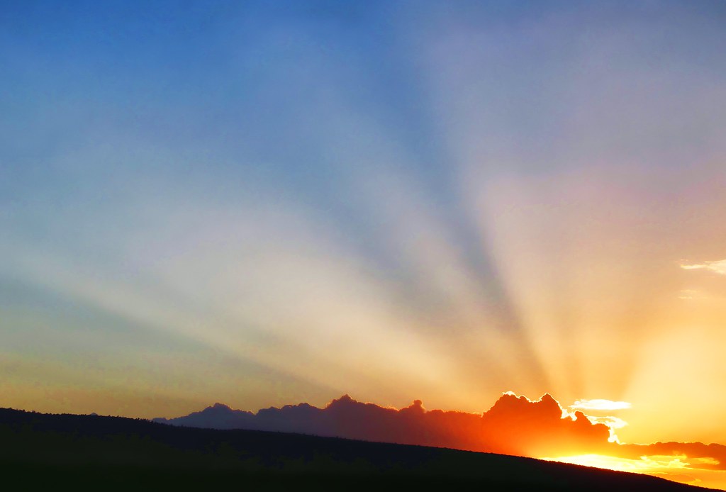
rays
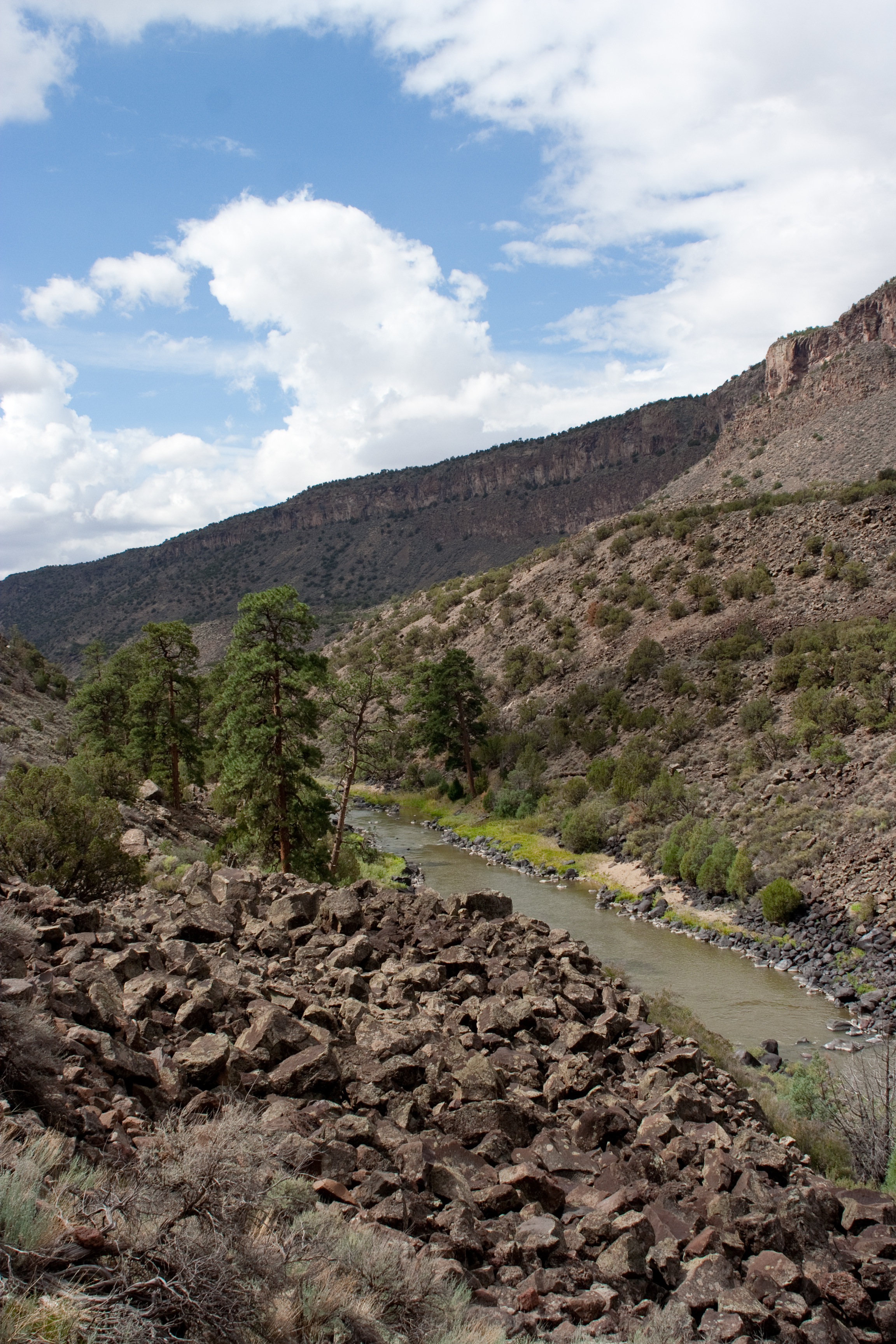
Rio Grande: West of Cerro, New Mexico (NM)

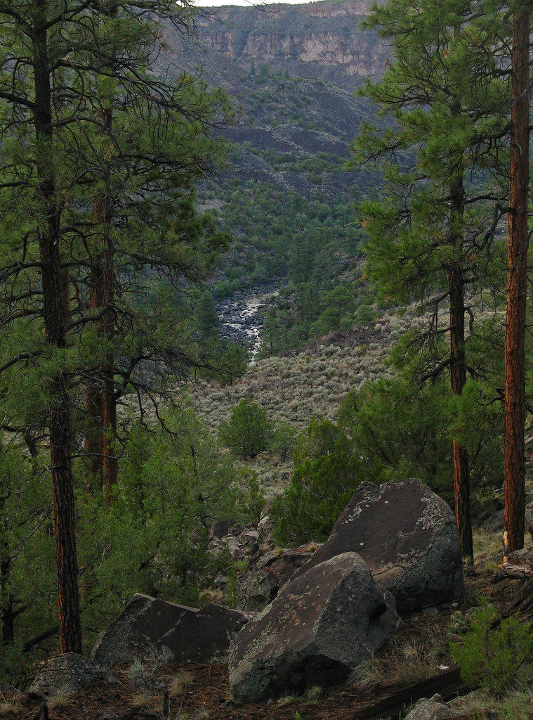
Sheep Crossing Trail

150612-01 (2015-06-15) - 0231
150612-01 (2015-06-15) - 0237
150612-01 (2015-06-15) - 0239

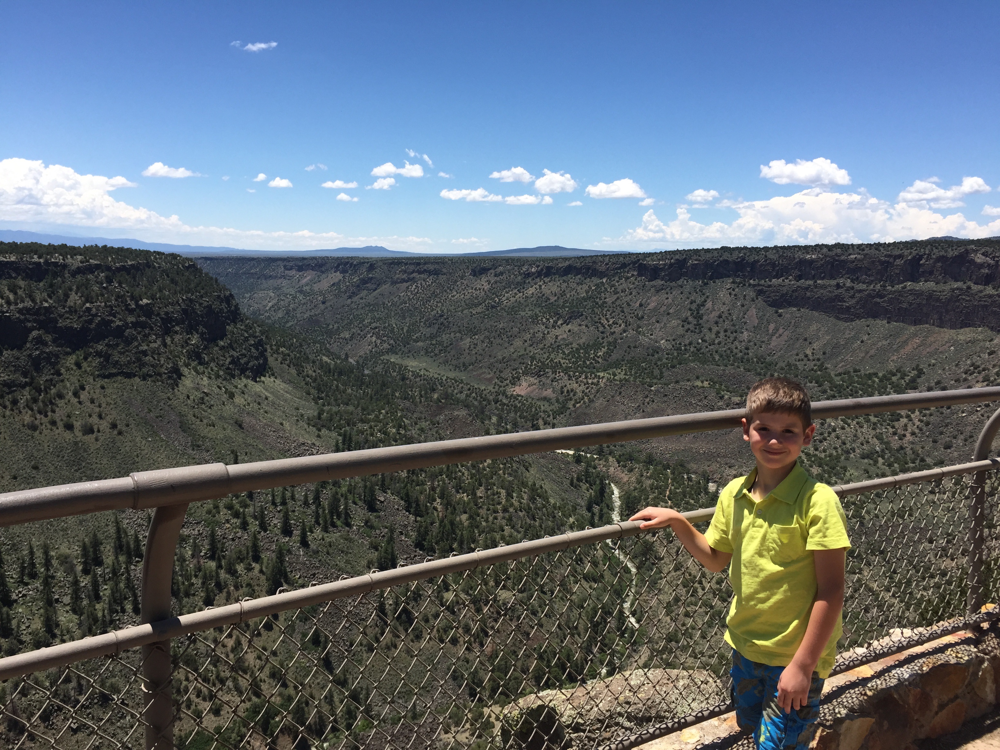
0U1A8164 Rio Grande del Norte NM - Wild Rivers Rec Area - La Junta Point entrance

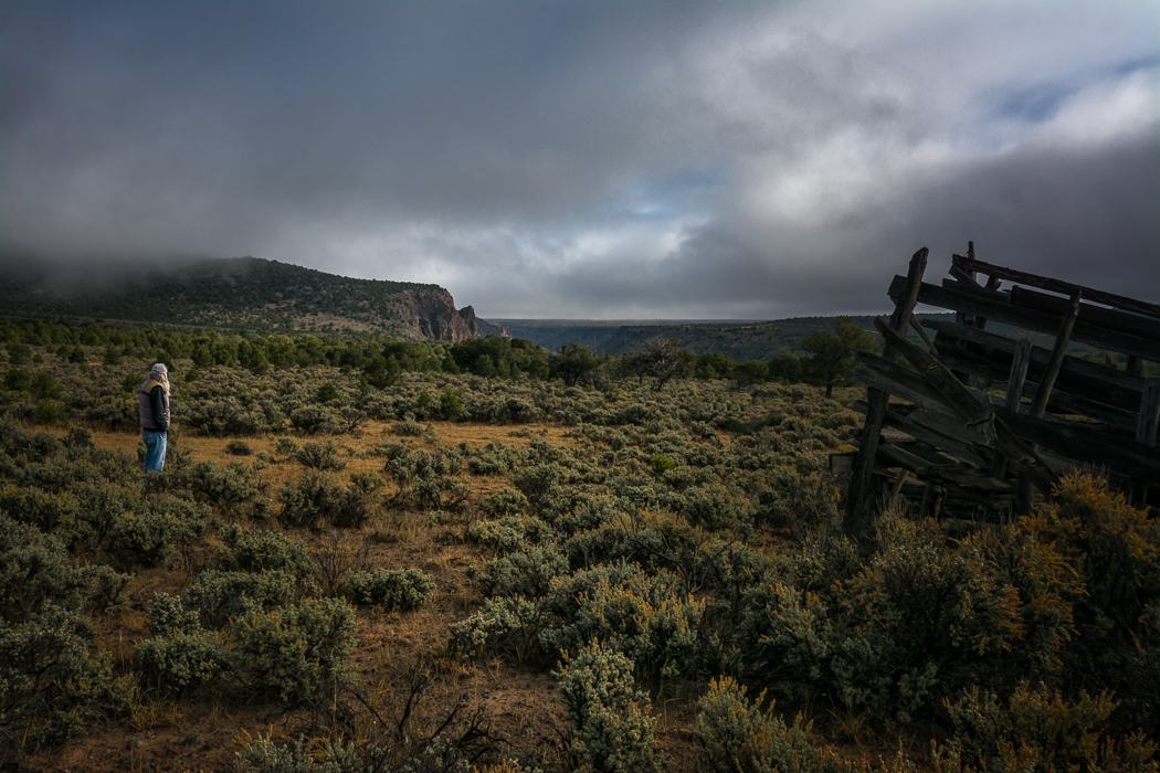
0U1A8208 New Mexico - Cerro - old barn
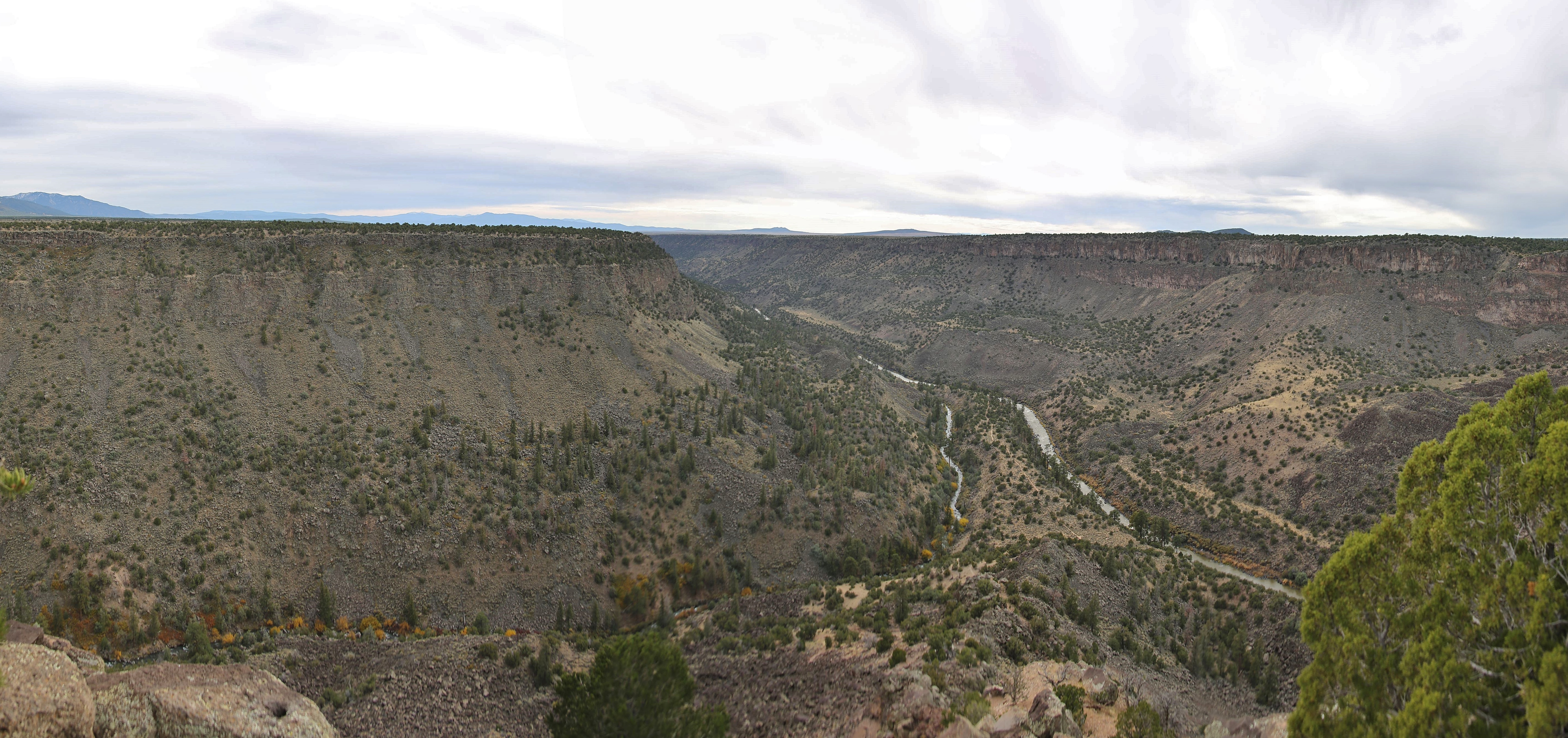
0U1A8189 Rio Grande del Norte NM - Wild Rivers Rec Area - La Junta Pt overlook
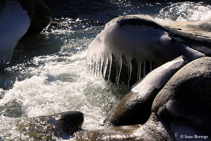
Ice on the Red River
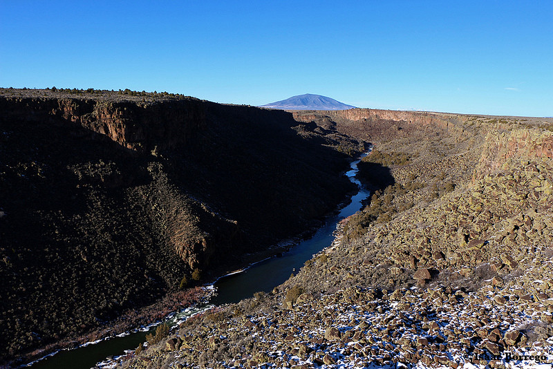
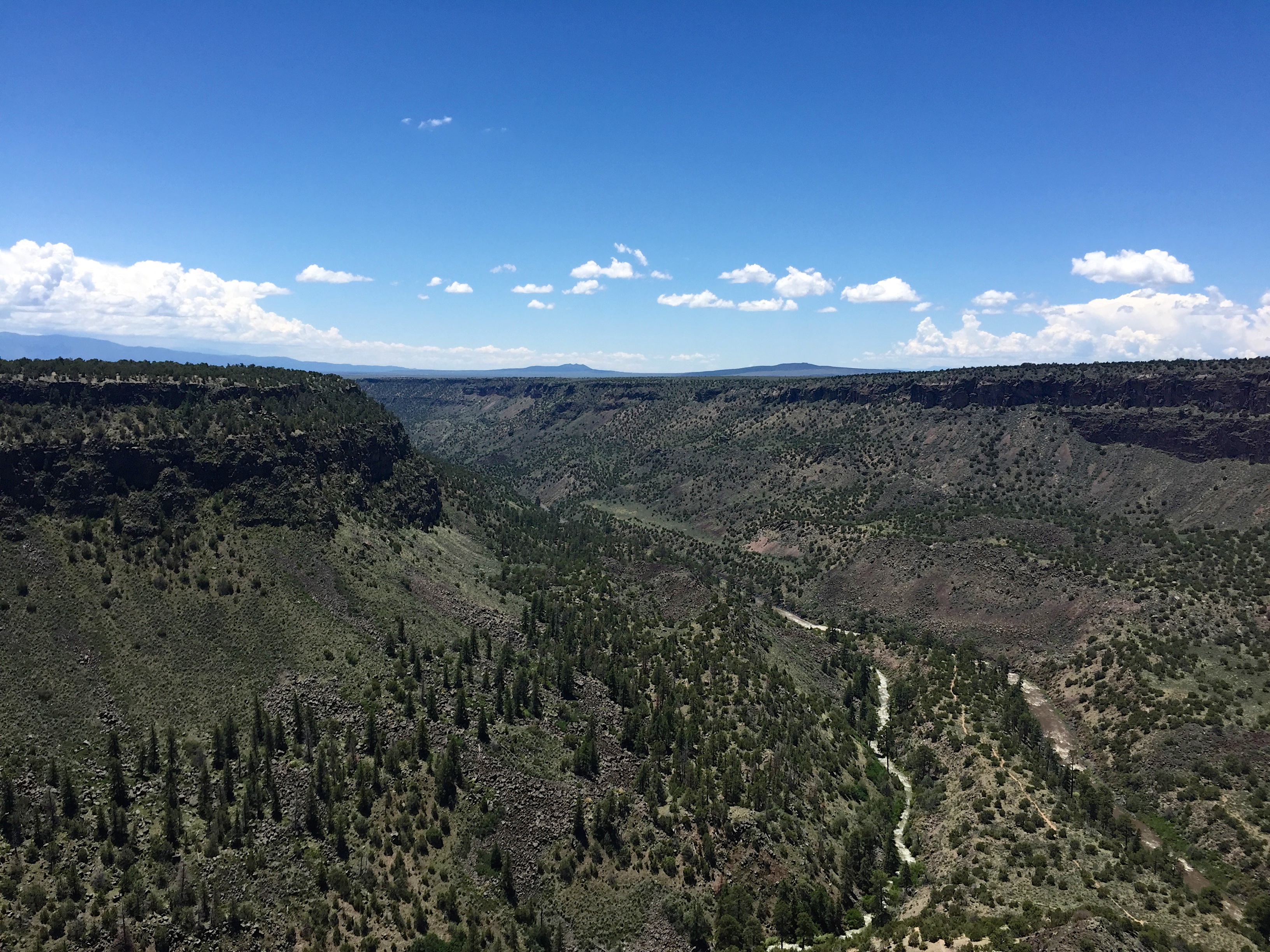
Rio Grande del Norte
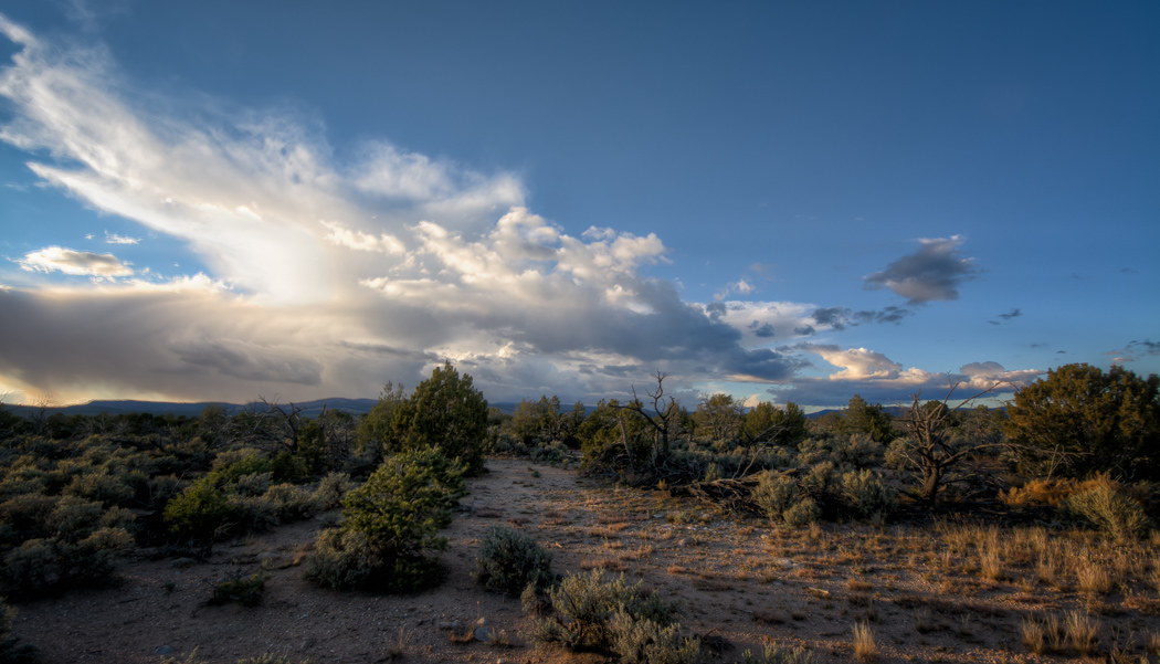
Evening Sky Near El Rito
Foggy Morning
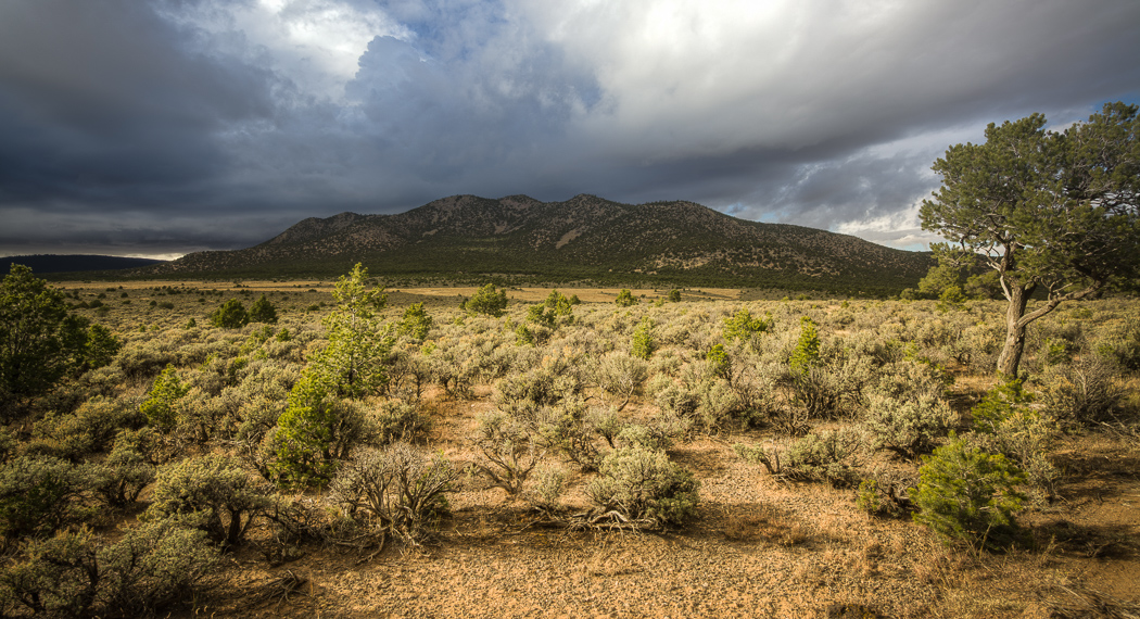
Cerro Chiflo
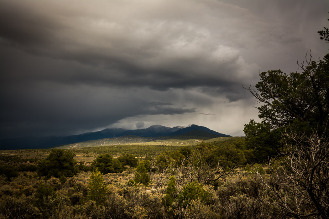
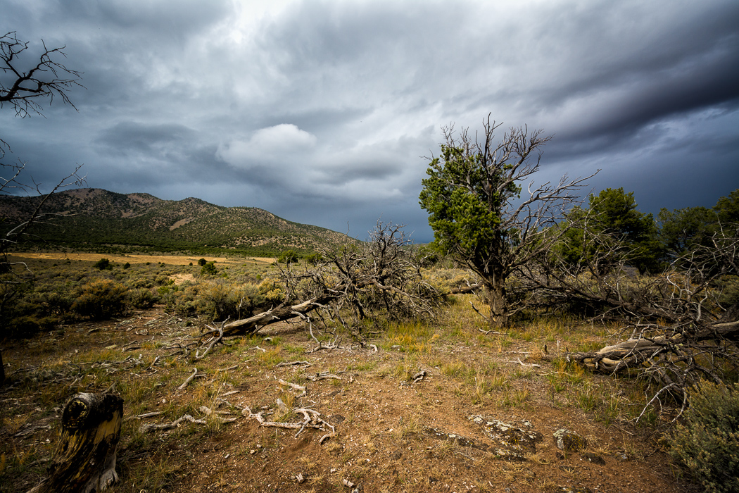
Storm Over Flag Mountain
Sunlight on the Rio Grande
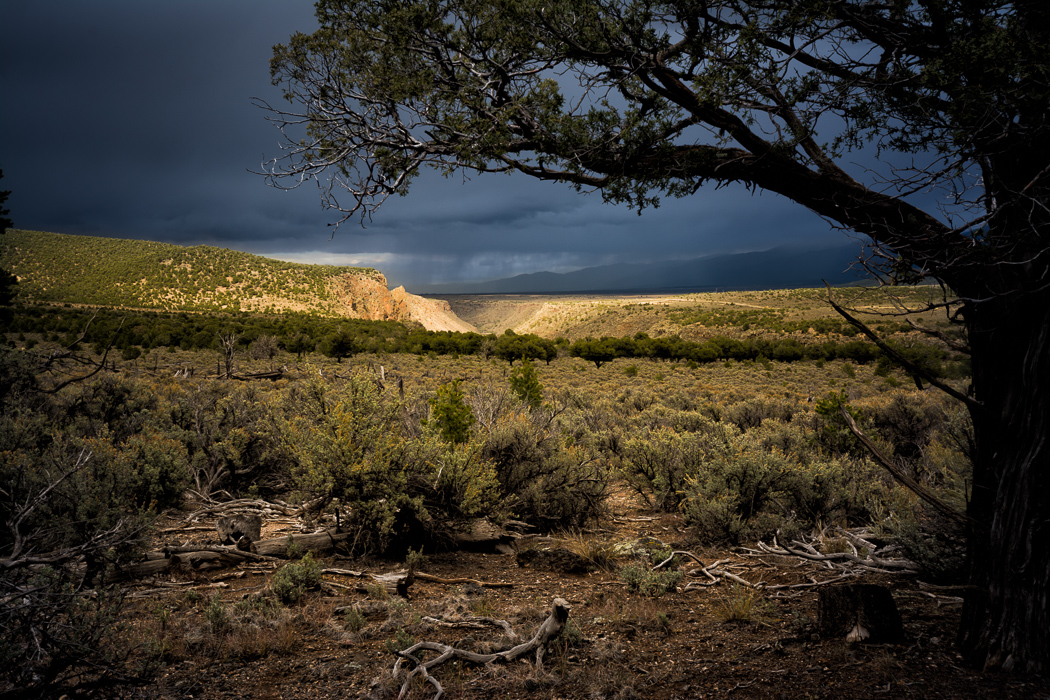
Storm Over Cerro Chiflo

First Snow

Wild Rivers-30

Wild Rivers-29
Wild Rivers-28

Wild Rivers-27

Wild Rivers-26
アメリカ合衆国 ニューメキシコ州 セロ・デ・ラ・オラの地図
別の場所を検索
近所の場所
アメリカ合衆国 ニューメキシコ州 セロ・モントーゾ
アメリカ合衆国 ニューメキシコ州 セロ・チフロ
アメリカ合衆国 〒 ニューメキシコ州 セロ・デル・エアー
アメリカ合衆国 〒 ニューメキシコ州 セロ
Montoso, Questa, NM アメリカ合衆国モントーゾ
アメリカ合衆国 ニューメキシコ州 ノー・アグア・ピーク・ノース
アメリカ合衆国 〒 ニューメキシコ州 グアダループ・マウンテン・サウス
アメリカ合衆国 〒 ニューメキシコ州 ノー・アグア・ピーク・ウェスト
アメリカ合衆国 〒 ニューメキシコ州 グアダループ・マウンテン・ノース
アメリカ合衆国 〒 ニューメキシコ州 トレス・ピエドラス
アメリカ合衆国 〒 ニューメキシコ州 クエスタ
アメリカ合衆国 〒 ニューメキシコ州 サン・クリストーバル
Echo Forest Rd, Questa, NM アメリカ合衆国Echo Forest Road
66 Latir Rd, Questa, NM アメリカ合衆国
Upper Pinabete, Questa, NM アメリカ合衆国アッパー・ピナベス
Lorien Rd, New Mexico アメリカ合衆国ロリアン・ロード
5 Latir Rd, Questa, NM アメリカ合衆国
77 Latir Rd, Questa, NM アメリカ合衆国
アメリカ合衆国 〒 ニューメキシコ州 フラッグ山
アメリカ合衆国 〒 ニューメキシコ州 ロス・セリトス・デ・ラ・クルーズ・サウス
最近の検索
- アメリカ合衆国 アラスカ州 レッド・ドッグ・マイン日の出日の入り時間
- Am bhf, Borken, ドイツアム・バーンホーフ日の出日の入り時間
- 4th St E, Sonoma, CA, USA日の出日の入り時間
- Oakland Ave, Williamsport, PA アメリカ合衆国日の出日の入り時間
- Via Roma, Pieranica CR, イタリアローマ通り日の出日の入り時間
- クロアチア 〒 ドゥブロブニク GradClock Tower of Dubrovnik日の出日の入り時間
- アルゼンチン チュブ州 トレリュー日の出日の入り時間
- Hartfords Bluff Cir, Mt Pleasant, SC アメリカ合衆国日の出日の入り時間
- 日本、熊本県熊本市北区日の出日の入り時間
- 中華人民共和国 福州市 平潭県 平潭島日の出日の入り時間