オーストラリア 〒 ニューサウスウェールズ キャライ日の出日の入り時間
Location: オーストラリア > ニュー・サウス・ウェールズ > オーストラリアArmidale Dumaresq Council >
時間帯:
Australia/Sydney
現地時間:
2025-07-13 18:39:01
経度:
152.2238156
緯度:
-30.8276661
今日の日の出時刻:
06:47:43 AM
今日の日の入時刻:
05:06:05 PM
今日の日長:
10h 18m 22s
明日の日の出時刻:
06:47:24 AM
明日の日の入時刻:
05:06:37 PM
明日の日長:
10h 19m 13s
すべて表示する
| 日付 | 日出 | 日没 | 日長 |
|---|---|---|---|
| 2025年01月01日 | 05:51:28 AM | 07:57:44 PM | 14h 6m 16s |
| 2025年01月02日 | 05:52:12 AM | 07:57:57 PM | 14h 5m 45s |
| 2025年01月03日 | 05:52:56 AM | 07:58:08 PM | 14h 5m 12s |
| 2025年01月04日 | 05:53:42 AM | 07:58:17 PM | 14h 4m 35s |
| 2025年01月05日 | 05:54:28 AM | 07:58:24 PM | 14h 3m 56s |
| 2025年01月06日 | 05:55:15 AM | 07:58:30 PM | 14h 3m 15s |
| 2025年01月07日 | 05:56:03 AM | 07:58:34 PM | 14h 2m 31s |
| 2025年01月08日 | 05:56:52 AM | 07:58:37 PM | 14h 1m 45s |
| 2025年01月09日 | 05:57:42 AM | 07:58:37 PM | 14h 0m 55s |
| 2025年01月10日 | 05:58:32 AM | 07:58:36 PM | 14h 0m 4s |
| 2025年01月11日 | 05:59:22 AM | 07:58:33 PM | 13h 59m 11s |
| 2025年01月12日 | 06:00:14 AM | 07:58:29 PM | 13h 58m 15s |
| 2025年01月13日 | 06:01:05 AM | 07:58:23 PM | 13h 57m 18s |
| 2025年01月14日 | 06:01:58 AM | 07:58:14 PM | 13h 56m 16s |
| 2025年01月15日 | 06:02:50 AM | 07:58:05 PM | 13h 55m 15s |
| 2025年01月16日 | 06:03:43 AM | 07:57:53 PM | 13h 54m 10s |
| 2025年01月17日 | 06:04:37 AM | 07:57:40 PM | 13h 53m 3s |
| 2025年01月18日 | 06:05:30 AM | 07:57:25 PM | 13h 51m 55s |
| 2025年01月19日 | 06:06:24 AM | 07:57:08 PM | 13h 50m 44s |
| 2025年01月20日 | 06:07:18 AM | 07:56:50 PM | 13h 49m 32s |
| 2025年01月21日 | 06:08:13 AM | 07:56:30 PM | 13h 48m 17s |
| 2025年01月22日 | 06:09:07 AM | 07:56:08 PM | 13h 47m 1s |
| 2025年01月23日 | 06:10:02 AM | 07:55:45 PM | 13h 45m 43s |
| 2025年01月24日 | 06:10:56 AM | 07:55:20 PM | 13h 44m 24s |
| 2025年01月25日 | 06:11:51 AM | 07:54:53 PM | 13h 43m 2s |
| 2025年01月26日 | 06:12:46 AM | 07:54:25 PM | 13h 41m 39s |
| 2025年01月27日 | 06:13:40 AM | 07:53:55 PM | 13h 40m 15s |
| 2025年01月28日 | 06:14:35 AM | 07:53:24 PM | 13h 38m 49s |
| 2025年01月29日 | 06:15:30 AM | 07:52:51 PM | 13h 37m 21s |
| 2025年01月30日 | 06:16:24 AM | 07:52:17 PM | 13h 35m 53s |
| 2025年01月31日 | 06:17:18 AM | 07:51:41 PM | 13h 34m 23s |
| 2025年02月01日 | 06:18:12 AM | 07:51:04 PM | 13h 32m 52s |
| 2025年02月02日 | 06:19:06 AM | 07:50:25 PM | 13h 31m 19s |
| 2025年02月03日 | 06:20:00 AM | 07:49:45 PM | 13h 29m 45s |
| 2025年02月04日 | 06:20:53 AM | 07:49:03 PM | 13h 28m 10s |
| 2025年02月05日 | 06:21:47 AM | 07:48:20 PM | 13h 26m 33s |
| 2025年02月06日 | 06:22:40 AM | 07:47:36 PM | 13h 24m 56s |
| 2025年02月07日 | 06:23:32 AM | 07:46:50 PM | 13h 23m 18s |
| 2025年02月08日 | 06:24:25 AM | 07:46:03 PM | 13h 21m 38s |
| 2025年02月09日 | 06:25:17 AM | 07:45:15 PM | 13h 19m 58s |
| 2025年02月10日 | 06:26:08 AM | 07:44:26 PM | 13h 18m 18s |
| 2025年02月11日 | 06:27:00 AM | 07:43:35 PM | 13h 16m 35s |
| 2025年02月12日 | 06:27:51 AM | 07:42:44 PM | 13h 14m 53s |
| 2025年02月13日 | 06:28:42 AM | 07:41:51 PM | 13h 13m 9s |
| 2025年02月14日 | 06:29:32 AM | 07:40:57 PM | 13h 11m 25s |
| 2025年02月15日 | 06:30:22 AM | 07:40:01 PM | 13h 9m 39s |
| 2025年02月16日 | 06:31:11 AM | 07:39:05 PM | 13h 7m 54s |
| 2025年02月17日 | 06:32:01 AM | 07:38:08 PM | 13h 6m 7s |
| 2025年02月18日 | 06:32:49 AM | 07:37:10 PM | 13h 4m 21s |
| 2025年02月19日 | 06:33:38 AM | 07:36:11 PM | 13h 2m 33s |
| 2025年02月20日 | 06:34:26 AM | 07:35:11 PM | 13h 0m 45s |
| 2025年02月21日 | 06:35:13 AM | 07:34:10 PM | 12h 58m 57s |
| 2025年02月22日 | 06:36:00 AM | 07:33:08 PM | 12h 57m 8s |
| 2025年02月23日 | 06:36:47 AM | 07:32:05 PM | 12h 55m 18s |
| 2025年02月24日 | 06:37:33 AM | 07:31:01 PM | 12h 53m 28s |
| 2025年02月25日 | 06:38:19 AM | 07:29:57 PM | 12h 51m 38s |
| 2025年02月26日 | 06:39:05 AM | 07:28:52 PM | 12h 49m 47s |
| 2025年02月27日 | 06:39:50 AM | 07:27:46 PM | 12h 47m 56s |
| 2025年02月28日 | 06:40:35 AM | 07:26:39 PM | 12h 46m 4s |
| 2025年03月01日 | 06:41:20 AM | 07:25:32 PM | 12h 44m 12s |
| 2025年03月02日 | 06:42:04 AM | 07:24:24 PM | 12h 42m 20s |
| 2025年03月03日 | 06:42:47 AM | 07:23:16 PM | 12h 40m 29s |
| 2025年03月04日 | 06:43:31 AM | 07:22:07 PM | 12h 38m 36s |
| 2025年03月05日 | 06:44:14 AM | 07:20:57 PM | 12h 36m 43s |
| 2025年03月06日 | 06:44:56 AM | 07:19:47 PM | 12h 34m 51s |
| 2025年03月07日 | 06:45:39 AM | 07:18:36 PM | 12h 32m 57s |
| 2025年03月08日 | 06:46:21 AM | 07:17:25 PM | 12h 31m 4s |
| 2025年03月09日 | 06:47:02 AM | 07:16:14 PM | 12h 29m 12s |
| 2025年03月10日 | 06:47:44 AM | 07:15:02 PM | 12h 27m 18s |
| 2025年03月11日 | 06:48:25 AM | 07:13:50 PM | 12h 25m 25s |
| 2025年03月12日 | 06:49:06 AM | 07:12:37 PM | 12h 23m 31s |
| 2025年03月13日 | 06:49:46 AM | 07:11:24 PM | 12h 21m 38s |
| 2025年03月14日 | 06:50:27 AM | 07:10:11 PM | 12h 19m 44s |
| 2025年03月15日 | 06:51:07 AM | 07:08:58 PM | 12h 17m 51s |
| 2025年03月16日 | 06:51:47 AM | 07:07:44 PM | 12h 15m 57s |
| 2025年03月17日 | 06:52:26 AM | 07:06:30 PM | 12h 14m 4s |
| 2025年03月18日 | 06:53:06 AM | 07:05:16 PM | 12h 12m 10s |
| 2025年03月19日 | 06:53:45 AM | 07:04:02 PM | 12h 10m 17s |
| 2025年03月20日 | 06:54:24 AM | 07:02:47 PM | 12h 8m 23s |
| 2025年03月21日 | 06:55:03 AM | 07:01:33 PM | 12h 6m 30s |
| 2025年03月22日 | 06:55:41 AM | 07:00:19 PM | 12h 4m 38s |
| 2025年03月23日 | 06:56:20 AM | 06:59:04 PM | 12h 2m 44s |
| 2025年03月24日 | 06:56:58 AM | 06:57:50 PM | 12h 0m 52s |
| 2025年03月25日 | 06:57:37 AM | 06:56:35 PM | 11h 58m 58s |
| 2025年03月26日 | 06:58:15 AM | 06:55:21 PM | 11h 57m 6s |
| 2025年03月27日 | 06:58:53 AM | 06:54:06 PM | 11h 55m 13s |
| 2025年03月28日 | 06:59:31 AM | 06:52:52 PM | 11h 53m 21s |
| 2025年03月29日 | 07:00:09 AM | 06:51:38 PM | 11h 51m 29s |
| 2025年03月30日 | 07:00:47 AM | 06:50:24 PM | 11h 49m 37s |
| 2025年03月31日 | 07:01:24 AM | 06:49:11 PM | 11h 47m 47s |
| 2025年04月01日 | 07:02:02 AM | 06:47:57 PM | 11h 45m 55s |
| 2025年04月02日 | 07:02:40 AM | 06:46:44 PM | 11h 44m 4s |
| 2025年04月03日 | 07:03:18 AM | 06:45:31 PM | 11h 42m 13s |
| 2025年04月04日 | 07:03:55 AM | 06:44:19 PM | 11h 40m 24s |
| 2025年04月05日 | 07:04:33 AM | 06:43:06 PM | 11h 38m 33s |
| 2025年04月06日 | 06:05:12 AM | 05:41:51 PM | 11h 36m 39s |
| 2025年04月06日 | 06:05:12 AM | 05:41:51 PM | 11h 36m 39s |
| 2025年04月07日 | 06:05:50 AM | 05:40:40 PM | 11h 34m 50s |
| 2025年04月08日 | 06:06:28 AM | 05:39:29 PM | 11h 33m 1s |
| 2025年04月09日 | 06:07:05 AM | 05:38:18 PM | 11h 31m 13s |
| 2025年04月10日 | 06:07:43 AM | 05:37:08 PM | 11h 29m 25s |
| 2025年04月11日 | 06:08:21 AM | 05:35:58 PM | 11h 27m 37s |
| 2025年04月12日 | 06:08:59 AM | 05:34:49 PM | 11h 25m 50s |
| 2025年04月13日 | 06:09:37 AM | 05:33:41 PM | 11h 24m 4s |
| 2025年04月14日 | 06:10:15 AM | 05:32:33 PM | 11h 22m 18s |
| 2025年04月15日 | 06:10:53 AM | 05:31:25 PM | 11h 20m 32s |
| 2025年04月16日 | 06:11:31 AM | 05:30:19 PM | 11h 18m 48s |
| 2025年04月17日 | 06:12:10 AM | 05:29:13 PM | 11h 17m 3s |
| 2025年04月18日 | 06:12:48 AM | 05:28:07 PM | 11h 15m 19s |
| 2025年04月19日 | 06:13:26 AM | 05:27:02 PM | 11h 13m 36s |
| 2025年04月20日 | 06:14:05 AM | 05:25:59 PM | 11h 11m 54s |
| 2025年04月21日 | 06:14:44 AM | 05:24:55 PM | 11h 10m 11s |
| 2025年04月22日 | 06:15:22 AM | 05:23:53 PM | 11h 8m 31s |
| 2025年04月23日 | 06:16:01 AM | 05:22:51 PM | 11h 6m 50s |
| 2025年04月24日 | 06:16:40 AM | 05:21:51 PM | 11h 5m 11s |
| 2025年04月25日 | 06:17:19 AM | 05:20:51 PM | 11h 3m 32s |
| 2025年04月26日 | 06:17:58 AM | 05:19:52 PM | 11h 1m 54s |
| 2025年04月27日 | 06:18:37 AM | 05:18:54 PM | 11h 0m 17s |
| 2025年04月28日 | 06:19:16 AM | 05:17:57 PM | 10h 58m 41s |
| 2025年04月29日 | 06:19:56 AM | 05:17:00 PM | 10h 57m 4s |
| 2025年04月30日 | 06:20:35 AM | 05:16:05 PM | 10h 55m 30s |
| 2025年05月01日 | 06:21:14 AM | 05:15:11 PM | 10h 53m 57s |
| 2025年05月02日 | 06:21:54 AM | 05:14:18 PM | 10h 52m 24s |
| 2025年05月03日 | 06:22:33 AM | 05:13:26 PM | 10h 50m 53s |
| 2025年05月04日 | 06:23:13 AM | 05:12:35 PM | 10h 49m 22s |
| 2025年05月05日 | 06:23:52 AM | 05:11:45 PM | 10h 47m 53s |
| 2025年05月06日 | 06:24:32 AM | 05:10:56 PM | 10h 46m 24s |
| 2025年05月07日 | 06:25:11 AM | 05:10:09 PM | 10h 44m 58s |
| 2025年05月08日 | 06:25:51 AM | 05:09:22 PM | 10h 43m 31s |
| 2025年05月09日 | 06:26:30 AM | 05:08:37 PM | 10h 42m 7s |
| 2025年05月10日 | 06:27:09 AM | 05:07:53 PM | 10h 40m 44s |
| 2025年05月11日 | 06:27:49 AM | 05:07:10 PM | 10h 39m 21s |
| 2025年05月12日 | 06:28:28 AM | 05:06:28 PM | 10h 38m 0s |
| 2025年05月13日 | 06:29:07 AM | 05:05:48 PM | 10h 36m 41s |
| 2025年05月14日 | 06:29:46 AM | 05:05:09 PM | 10h 35m 23s |
| 2025年05月15日 | 06:30:24 AM | 05:04:31 PM | 10h 34m 7s |
| 2025年05月16日 | 06:31:03 AM | 05:03:54 PM | 10h 32m 51s |
| 2025年05月17日 | 06:31:41 AM | 05:03:19 PM | 10h 31m 38s |
| 2025年05月18日 | 06:32:20 AM | 05:02:45 PM | 10h 30m 25s |
| 2025年05月19日 | 06:32:58 AM | 05:02:13 PM | 10h 29m 15s |
| 2025年05月20日 | 06:33:35 AM | 05:01:42 PM | 10h 28m 7s |
| 2025年05月21日 | 06:34:13 AM | 05:01:12 PM | 10h 26m 59s |
| 2025年05月22日 | 06:34:50 AM | 05:00:43 PM | 10h 25m 53s |
| 2025年05月23日 | 06:35:26 AM | 05:00:16 PM | 10h 24m 50s |
| 2025年05月24日 | 06:36:03 AM | 04:59:51 PM | 10h 23m 48s |
| 2025年05月25日 | 06:36:39 AM | 04:59:27 PM | 10h 22m 48s |
| 2025年05月26日 | 06:37:14 AM | 04:59:04 PM | 10h 21m 50s |
| 2025年05月27日 | 06:37:49 AM | 04:58:42 PM | 10h 20m 53s |
| 2025年05月28日 | 06:38:24 AM | 04:58:22 PM | 10h 19m 58s |
| 2025年05月29日 | 06:38:58 AM | 04:58:04 PM | 10h 19m 6s |
| 2025年05月30日 | 06:39:31 AM | 04:57:47 PM | 10h 18m 16s |
| 2025年05月31日 | 06:40:04 AM | 04:57:31 PM | 10h 17m 27s |
| 2025年06月01日 | 06:40:37 AM | 04:57:17 PM | 10h 16m 40s |
| 2025年06月02日 | 06:41:08 AM | 04:57:04 PM | 10h 15m 56s |
| 2025年06月03日 | 06:41:39 AM | 04:56:53 PM | 10h 15m 14s |
| 2025年06月04日 | 06:42:10 AM | 04:56:43 PM | 10h 14m 33s |
| 2025年06月05日 | 06:42:39 AM | 04:56:34 PM | 10h 13m 55s |
| 2025年06月06日 | 06:43:08 AM | 04:56:27 PM | 10h 13m 19s |
| 2025年06月07日 | 06:43:36 AM | 04:56:21 PM | 10h 12m 45s |
| 2025年06月08日 | 06:44:03 AM | 04:56:17 PM | 10h 12m 14s |
| 2025年06月09日 | 06:44:29 AM | 04:56:14 PM | 10h 11m 45s |
| 2025年06月10日 | 06:44:55 AM | 04:56:12 PM | 10h 11m 17s |
| 2025年06月11日 | 06:45:19 AM | 04:56:12 PM | 10h 10m 53s |
| 2025年06月12日 | 06:45:43 AM | 04:56:13 PM | 10h 10m 30s |
| 2025年06月13日 | 06:46:05 AM | 04:56:16 PM | 10h 10m 11s |
| 2025年06月14日 | 06:46:27 AM | 04:56:20 PM | 10h 9m 53s |
| 2025年06月15日 | 06:46:47 AM | 04:56:25 PM | 10h 9m 38s |
| 2025年06月16日 | 06:47:06 AM | 04:56:31 PM | 10h 9m 25s |
| 2025年06月17日 | 06:47:25 AM | 04:56:39 PM | 10h 9m 14s |
| 2025年06月18日 | 06:47:42 AM | 04:56:48 PM | 10h 9m 6s |
| 2025年06月19日 | 06:47:58 AM | 04:56:58 PM | 10h 9m 0s |
| 2025年06月20日 | 06:48:13 AM | 04:57:09 PM | 10h 8m 56s |
| 2025年06月21日 | 06:48:26 AM | 04:57:22 PM | 10h 8m 56s |
| 2025年06月22日 | 06:48:39 AM | 04:57:36 PM | 10h 8m 57s |
| 2025年06月23日 | 06:48:50 AM | 04:57:50 PM | 10h 9m 0s |
| 2025年06月24日 | 06:49:00 AM | 04:58:06 PM | 10h 9m 6s |
| 2025年06月25日 | 06:49:08 AM | 04:58:23 PM | 10h 9m 15s |
| 2025年06月26日 | 06:49:15 AM | 04:58:42 PM | 10h 9m 27s |
| 2025年06月27日 | 06:49:21 AM | 04:59:01 PM | 10h 9m 40s |
| 2025年06月28日 | 06:49:26 AM | 04:59:21 PM | 10h 9m 55s |
| 2025年06月29日 | 06:49:29 AM | 04:59:42 PM | 10h 10m 13s |
| 2025年06月30日 | 06:49:31 AM | 05:00:04 PM | 10h 10m 33s |
| 2025年07月01日 | 06:49:31 AM | 05:00:27 PM | 10h 10m 56s |
| 2025年07月02日 | 06:49:30 AM | 05:00:51 PM | 10h 11m 21s |
| 2025年07月03日 | 06:49:28 AM | 05:01:15 PM | 10h 11m 47s |
| 2025年07月04日 | 06:49:24 AM | 05:01:41 PM | 10h 12m 17s |
| 2025年07月05日 | 06:49:19 AM | 05:02:07 PM | 10h 12m 48s |
| 2025年07月06日 | 06:49:12 AM | 05:02:34 PM | 10h 13m 22s |
| 2025年07月07日 | 06:49:04 AM | 05:03:02 PM | 10h 13m 58s |
| 2025年07月08日 | 06:48:55 AM | 05:03:30 PM | 10h 14m 35s |
| 2025年07月09日 | 06:48:43 AM | 05:03:59 PM | 10h 15m 16s |
| 2025年07月10日 | 06:48:31 AM | 05:04:29 PM | 10h 15m 58s |
| 2025年07月11日 | 06:48:17 AM | 05:05:00 PM | 10h 16m 43s |
| 2025年07月12日 | 06:48:01 AM | 05:05:31 PM | 10h 17m 30s |
| 2025年07月13日 | 06:47:44 AM | 05:06:02 PM | 10h 18m 18s |
| 2025年07月14日 | 06:47:26 AM | 05:06:34 PM | 10h 19m 8s |
| 2025年07月15日 | 06:47:06 AM | 05:07:06 PM | 10h 20m 0s |
| 2025年07月16日 | 06:46:45 AM | 05:07:39 PM | 10h 20m 54s |
| 2025年07月17日 | 06:46:22 AM | 05:08:13 PM | 10h 21m 51s |
| 2025年07月18日 | 06:45:58 AM | 05:08:46 PM | 10h 22m 48s |
| 2025年07月19日 | 06:45:32 AM | 05:09:20 PM | 10h 23m 48s |
| 2025年07月20日 | 06:45:05 AM | 05:09:55 PM | 10h 24m 50s |
| 2025年07月21日 | 06:44:36 AM | 05:10:29 PM | 10h 25m 53s |
| 2025年07月22日 | 06:44:06 AM | 05:11:04 PM | 10h 26m 58s |
| 2025年07月23日 | 06:43:35 AM | 05:11:40 PM | 10h 28m 5s |
| 2025年07月24日 | 06:43:02 AM | 05:12:15 PM | 10h 29m 13s |
| 2025年07月25日 | 06:42:28 AM | 05:12:51 PM | 10h 30m 23s |
| 2025年07月26日 | 06:41:52 AM | 05:13:27 PM | 10h 31m 35s |
| 2025年07月27日 | 06:41:16 AM | 05:14:03 PM | 10h 32m 47s |
| 2025年07月28日 | 06:40:37 AM | 05:14:39 PM | 10h 34m 2s |
| 2025年07月29日 | 06:39:58 AM | 05:15:15 PM | 10h 35m 17s |
| 2025年07月30日 | 06:39:17 AM | 05:15:51 PM | 10h 36m 34s |
| 2025年07月31日 | 06:38:35 AM | 05:16:28 PM | 10h 37m 53s |
| 2025年08月01日 | 06:37:51 AM | 05:17:04 PM | 10h 39m 13s |
| 2025年08月02日 | 06:37:07 AM | 05:17:41 PM | 10h 40m 34s |
| 2025年08月03日 | 06:36:21 AM | 05:18:17 PM | 10h 41m 56s |
| 2025年08月04日 | 06:35:34 AM | 05:18:54 PM | 10h 43m 20s |
| 2025年08月05日 | 06:34:45 AM | 05:19:30 PM | 10h 44m 45s |
| 2025年08月06日 | 06:33:56 AM | 05:20:07 PM | 10h 46m 11s |
| 2025年08月07日 | 06:33:05 AM | 05:20:43 PM | 10h 47m 38s |
| 2025年08月08日 | 06:32:14 AM | 05:21:20 PM | 10h 49m 6s |
| 2025年08月09日 | 06:31:21 AM | 05:21:56 PM | 10h 50m 35s |
| 2025年08月10日 | 06:30:27 AM | 05:22:32 PM | 10h 52m 5s |
| 2025年08月11日 | 06:29:32 AM | 05:23:09 PM | 10h 53m 37s |
| 2025年08月12日 | 06:28:35 AM | 05:23:45 PM | 10h 55m 10s |
| 2025年08月13日 | 06:27:38 AM | 05:24:21 PM | 10h 56m 43s |
| 2025年08月14日 | 06:26:40 AM | 05:24:57 PM | 10h 58m 17s |
| 2025年08月15日 | 06:25:41 AM | 05:25:32 PM | 10h 59m 51s |
| 2025年08月16日 | 06:24:41 AM | 05:26:08 PM | 11h 1m 27s |
| 2025年08月17日 | 06:23:40 AM | 05:26:44 PM | 11h 3m 4s |
| 2025年08月18日 | 06:22:38 AM | 05:27:19 PM | 11h 4m 41s |
| 2025年08月19日 | 06:21:36 AM | 05:27:55 PM | 11h 6m 19s |
| 2025年08月20日 | 06:20:32 AM | 05:28:30 PM | 11h 7m 58s |
| 2025年08月21日 | 06:19:28 AM | 05:29:05 PM | 11h 9m 37s |
| 2025年08月22日 | 06:18:22 AM | 05:29:40 PM | 11h 11m 18s |
| 2025年08月23日 | 06:17:16 AM | 05:30:15 PM | 11h 12m 59s |
| 2025年08月24日 | 06:16:10 AM | 05:30:50 PM | 11h 14m 40s |
| 2025年08月25日 | 06:15:02 AM | 05:31:24 PM | 11h 16m 22s |
| 2025年08月26日 | 06:13:54 AM | 05:31:59 PM | 11h 18m 5s |
| 2025年08月27日 | 06:12:45 AM | 05:32:33 PM | 11h 19m 48s |
| 2025年08月28日 | 06:11:36 AM | 05:33:08 PM | 11h 21m 32s |
| 2025年08月29日 | 06:10:26 AM | 05:33:42 PM | 11h 23m 16s |
| 2025年08月30日 | 06:09:15 AM | 05:34:16 PM | 11h 25m 1s |
| 2025年08月31日 | 06:08:04 AM | 05:34:50 PM | 11h 26m 46s |
| 2025年09月01日 | 06:06:52 AM | 05:35:24 PM | 11h 28m 32s |
| 2025年09月02日 | 06:05:40 AM | 05:35:58 PM | 11h 30m 18s |
| 2025年09月03日 | 06:04:27 AM | 05:36:32 PM | 11h 32m 5s |
| 2025年09月04日 | 06:03:13 AM | 05:37:05 PM | 11h 33m 52s |
| 2025年09月05日 | 06:02:00 AM | 05:37:39 PM | 11h 35m 39s |
| 2025年09月06日 | 06:00:46 AM | 05:38:13 PM | 11h 37m 27s |
| 2025年09月07日 | 05:59:31 AM | 05:38:46 PM | 11h 39m 15s |
| 2025年09月08日 | 05:58:16 AM | 05:39:20 PM | 11h 41m 4s |
| 2025年09月09日 | 05:57:01 AM | 05:39:53 PM | 11h 42m 52s |
| 2025年09月10日 | 05:55:46 AM | 05:40:27 PM | 11h 44m 41s |
| 2025年09月11日 | 05:54:30 AM | 05:41:01 PM | 11h 46m 31s |
| 2025年09月12日 | 05:53:14 AM | 05:41:34 PM | 11h 48m 20s |
| 2025年09月13日 | 05:51:58 AM | 05:42:08 PM | 11h 50m 10s |
| 2025年09月14日 | 05:50:41 AM | 05:42:42 PM | 11h 52m 1s |
| 2025年09月15日 | 05:49:25 AM | 05:43:15 PM | 11h 53m 50s |
| 2025年09月16日 | 05:48:08 AM | 05:43:49 PM | 11h 55m 41s |
| 2025年09月17日 | 05:46:51 AM | 05:44:23 PM | 11h 57m 32s |
| 2025年09月18日 | 05:45:34 AM | 05:44:57 PM | 11h 59m 23s |
| 2025年09月19日 | 05:44:18 AM | 05:45:31 PM | 12h 1m 13s |
| 2025年09月20日 | 05:43:01 AM | 05:46:05 PM | 12h 3m 4s |
| 2025年09月21日 | 05:41:44 AM | 05:46:40 PM | 12h 4m 56s |
| 2025年09月22日 | 05:40:27 AM | 05:47:14 PM | 12h 6m 47s |
| 2025年09月23日 | 05:39:10 AM | 05:47:49 PM | 12h 8m 39s |
| 2025年09月24日 | 05:37:53 AM | 05:48:24 PM | 12h 10m 31s |
| 2025年09月25日 | 05:36:36 AM | 05:48:59 PM | 12h 12m 23s |
| 2025年09月26日 | 05:35:20 AM | 05:49:34 PM | 12h 14m 14s |
| 2025年09月27日 | 05:34:03 AM | 05:50:09 PM | 12h 16m 6s |
| 2025年09月28日 | 05:32:47 AM | 05:50:45 PM | 12h 17m 58s |
| 2025年09月29日 | 05:31:31 AM | 05:51:21 PM | 12h 19m 50s |
| 2025年09月30日 | 05:30:16 AM | 05:51:57 PM | 12h 21m 41s |
| 2025年10月01日 | 05:29:00 AM | 05:52:33 PM | 12h 23m 33s |
| 2025年10月02日 | 05:27:45 AM | 05:53:10 PM | 12h 25m 25s |
| 2025年10月03日 | 05:26:30 AM | 05:53:47 PM | 12h 27m 17s |
| 2025年10月04日 | 05:25:16 AM | 05:54:24 PM | 12h 29m 8s |
| 2025年10月06日 | 06:22:52 AM | 06:55:38 PM | 12h 32m 46s |
| 2025年10月07日 | 06:21:38 AM | 06:56:16 PM | 12h 34m 38s |
| 2025年10月08日 | 06:20:26 AM | 06:56:55 PM | 12h 36m 29s |
| 2025年10月09日 | 06:19:14 AM | 06:57:33 PM | 12h 38m 19s |
| 2025年10月10日 | 06:18:02 AM | 06:58:13 PM | 12h 40m 11s |
| 2025年10月11日 | 06:16:51 AM | 06:58:52 PM | 12h 42m 1s |
| 2025年10月12日 | 06:15:41 AM | 06:59:32 PM | 12h 43m 51s |
| 2025年10月13日 | 06:14:31 AM | 07:00:13 PM | 12h 45m 42s |
| 2025年10月14日 | 06:13:22 AM | 07:00:53 PM | 12h 47m 31s |
| 2025年10月15日 | 06:12:13 AM | 07:01:34 PM | 12h 49m 21s |
| 2025年10月16日 | 06:11:06 AM | 07:02:16 PM | 12h 51m 10s |
| 2025年10月17日 | 06:09:59 AM | 07:02:58 PM | 12h 52m 59s |
| 2025年10月18日 | 06:08:53 AM | 07:03:40 PM | 12h 54m 47s |
| 2025年10月19日 | 06:07:47 AM | 07:04:23 PM | 12h 56m 36s |
| 2025年10月20日 | 06:06:43 AM | 07:05:06 PM | 12h 58m 23s |
| 2025年10月21日 | 06:05:39 AM | 07:05:50 PM | 13h 0m 11s |
| 2025年10月22日 | 06:04:36 AM | 07:06:34 PM | 13h 1m 58s |
| 2025年10月23日 | 06:03:34 AM | 07:07:18 PM | 13h 3m 44s |
| 2025年10月24日 | 06:02:33 AM | 07:08:03 PM | 13h 5m 30s |
| 2025年10月25日 | 06:01:34 AM | 07:08:48 PM | 13h 7m 14s |
| 2025年10月26日 | 06:00:35 AM | 07:09:34 PM | 13h 8m 59s |
| 2025年10月27日 | 05:59:37 AM | 07:10:20 PM | 13h 10m 43s |
| 2025年10月28日 | 05:58:40 AM | 07:11:07 PM | 13h 12m 27s |
| 2025年10月29日 | 05:57:44 AM | 07:11:54 PM | 13h 14m 10s |
| 2025年10月30日 | 05:56:50 AM | 07:12:41 PM | 13h 15m 51s |
| 2025年10月31日 | 05:55:57 AM | 07:13:29 PM | 13h 17m 32s |
| 2025年11月01日 | 05:55:04 AM | 07:14:17 PM | 13h 19m 13s |
| 2025年11月02日 | 05:54:14 AM | 07:15:06 PM | 13h 20m 52s |
| 2025年11月03日 | 05:53:24 AM | 07:15:55 PM | 13h 22m 31s |
| 2025年11月04日 | 05:52:35 AM | 07:16:44 PM | 13h 24m 9s |
| 2025年11月05日 | 05:51:48 AM | 07:17:33 PM | 13h 25m 45s |
| 2025年11月06日 | 05:51:03 AM | 07:18:23 PM | 13h 27m 20s |
| 2025年11月07日 | 05:50:18 AM | 07:19:14 PM | 13h 28m 56s |
| 2025年11月08日 | 05:49:35 AM | 07:20:04 PM | 13h 30m 29s |
| 2025年11月09日 | 05:48:54 AM | 07:20:55 PM | 13h 32m 1s |
| 2025年11月10日 | 05:48:13 AM | 07:21:46 PM | 13h 33m 33s |
| 2025年11月11日 | 05:47:35 AM | 07:22:37 PM | 13h 35m 2s |
| 2025年11月12日 | 05:46:58 AM | 07:23:29 PM | 13h 36m 31s |
| 2025年11月13日 | 05:46:22 AM | 07:24:20 PM | 13h 37m 58s |
| 2025年11月14日 | 05:45:48 AM | 07:25:12 PM | 13h 39m 24s |
| 2025年11月15日 | 05:45:15 AM | 07:26:04 PM | 13h 40m 49s |
| 2025年11月16日 | 05:44:44 AM | 07:26:56 PM | 13h 42m 12s |
| 2025年11月17日 | 05:44:15 AM | 07:27:48 PM | 13h 43m 33s |
| 2025年11月18日 | 05:43:47 AM | 07:28:40 PM | 13h 44m 53s |
| 2025年11月19日 | 05:43:21 AM | 07:29:33 PM | 13h 46m 12s |
| 2025年11月20日 | 05:42:56 AM | 07:30:25 PM | 13h 47m 29s |
| 2025年11月21日 | 05:42:34 AM | 07:31:17 PM | 13h 48m 43s |
| 2025年11月22日 | 05:42:12 AM | 07:32:09 PM | 13h 49m 57s |
| 2025年11月23日 | 05:41:53 AM | 07:33:01 PM | 13h 51m 8s |
| 2025年11月24日 | 05:41:35 AM | 07:33:53 PM | 13h 52m 18s |
| 2025年11月25日 | 05:41:19 AM | 07:34:44 PM | 13h 53m 25s |
| 2025年11月26日 | 05:41:05 AM | 07:35:36 PM | 13h 54m 31s |
| 2025年11月27日 | 05:40:53 AM | 07:36:27 PM | 13h 55m 34s |
| 2025年11月28日 | 05:40:42 AM | 07:37:17 PM | 13h 56m 35s |
| 2025年11月29日 | 05:40:33 AM | 07:38:08 PM | 13h 57m 35s |
| 2025年11月30日 | 05:40:26 AM | 07:38:58 PM | 13h 58m 32s |
| 2025年12月01日 | 05:40:21 AM | 07:39:47 PM | 13h 59m 26s |
| 2025年12月02日 | 05:40:17 AM | 07:40:36 PM | 14h 0m 19s |
| 2025年12月03日 | 05:40:15 AM | 07:41:25 PM | 14h 1m 10s |
| 2025年12月04日 | 05:40:15 AM | 07:42:12 PM | 14h 1m 57s |
| 2025年12月05日 | 05:40:17 AM | 07:43:00 PM | 14h 2m 43s |
| 2025年12月06日 | 05:40:21 AM | 07:43:46 PM | 14h 3m 25s |
| 2025年12月07日 | 05:40:26 AM | 07:44:32 PM | 14h 4m 6s |
| 2025年12月08日 | 05:40:33 AM | 07:45:17 PM | 14h 4m 44s |
| 2025年12月09日 | 05:40:42 AM | 07:46:02 PM | 14h 5m 20s |
| 2025年12月10日 | 05:40:52 AM | 07:46:45 PM | 14h 5m 53s |
| 2025年12月11日 | 05:41:05 AM | 07:47:28 PM | 14h 6m 23s |
| 2025年12月12日 | 05:41:18 AM | 07:48:09 PM | 14h 6m 51s |
| 2025年12月13日 | 05:41:34 AM | 07:48:50 PM | 14h 7m 16s |
| 2025年12月14日 | 05:41:51 AM | 07:49:29 PM | 14h 7m 38s |
| 2025年12月15日 | 05:42:10 AM | 07:50:08 PM | 14h 7m 58s |
| 2025年12月16日 | 05:42:31 AM | 07:50:45 PM | 14h 8m 14s |
| 2025年12月17日 | 05:42:53 AM | 07:51:21 PM | 14h 8m 28s |
| 2025年12月18日 | 05:43:17 AM | 07:51:56 PM | 14h 8m 39s |
| 2025年12月19日 | 05:43:42 AM | 07:52:30 PM | 14h 8m 48s |
| 2025年12月20日 | 05:44:09 AM | 07:53:03 PM | 14h 8m 54s |
| 2025年12月21日 | 05:44:38 AM | 07:53:34 PM | 14h 8m 56s |
| 2025年12月22日 | 05:45:07 AM | 07:54:04 PM | 14h 8m 57s |
| 2025年12月23日 | 05:45:39 AM | 07:54:32 PM | 14h 8m 53s |
| 2025年12月24日 | 05:46:11 AM | 07:54:59 PM | 14h 8m 48s |
| 2025年12月25日 | 05:46:45 AM | 07:55:25 PM | 14h 8m 40s |
| 2025年12月26日 | 05:47:21 AM | 07:55:49 PM | 14h 8m 28s |
| 2025年12月27日 | 05:47:57 AM | 07:56:11 PM | 14h 8m 14s |
| 2025年12月28日 | 05:48:35 AM | 07:56:32 PM | 14h 7m 57s |
| 2025年12月29日 | 05:49:14 AM | 07:56:52 PM | 14h 7m 38s |
| 2025年12月30日 | 05:49:54 AM | 07:57:10 PM | 14h 7m 16s |
| 2025年12月31日 | 05:50:35 AM | 07:57:26 PM | 14h 6m 51s |
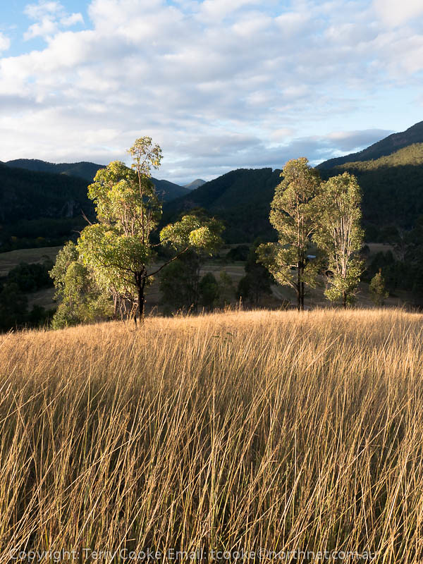
写真

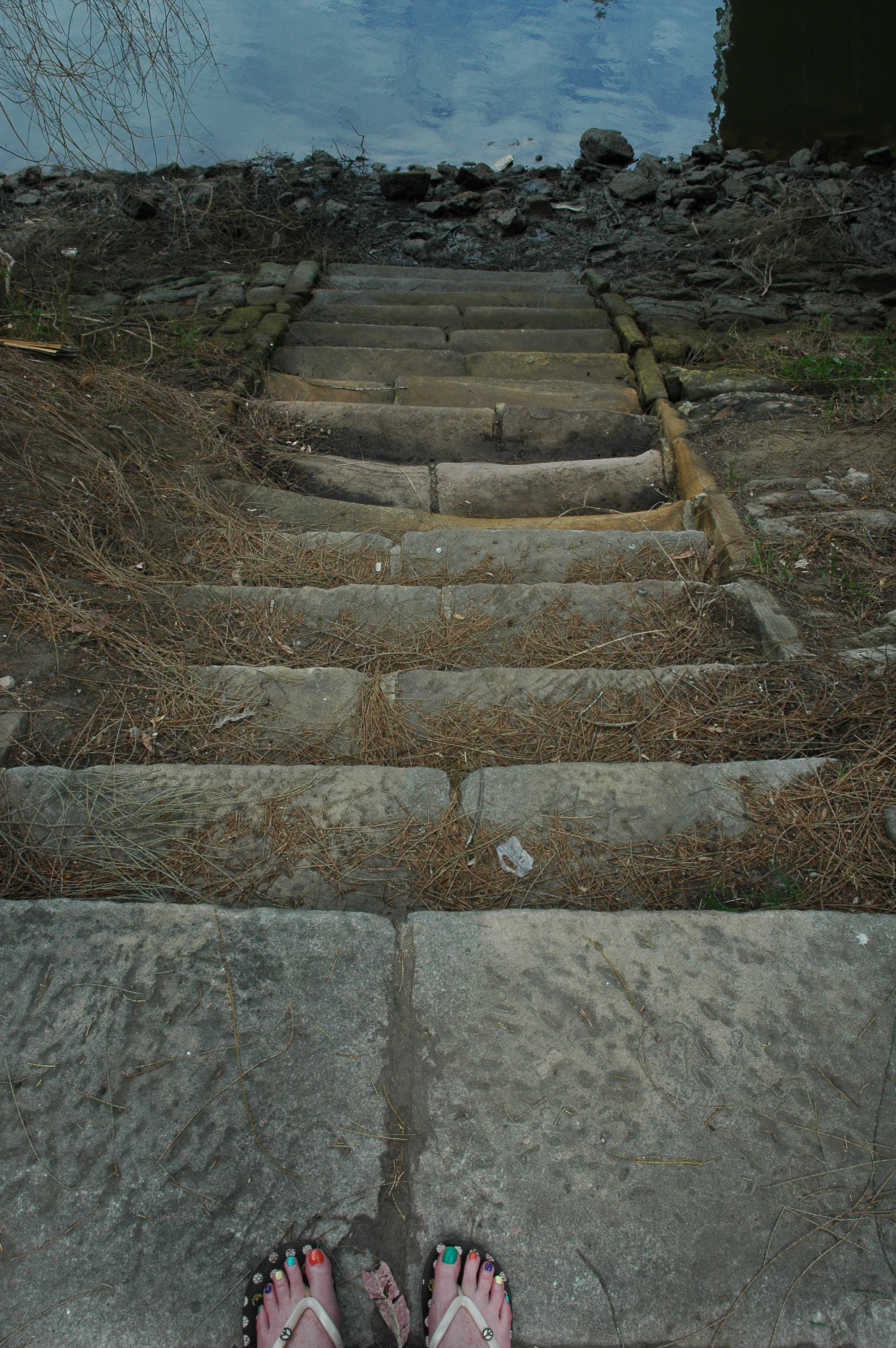
Armidale-Kempsey Road_06
130512_0234EastKunderangL.jpg

Armidale-Kempsey Road_10

Armidale-Kempsey Road_02

Armidale-Kempsey Road_04
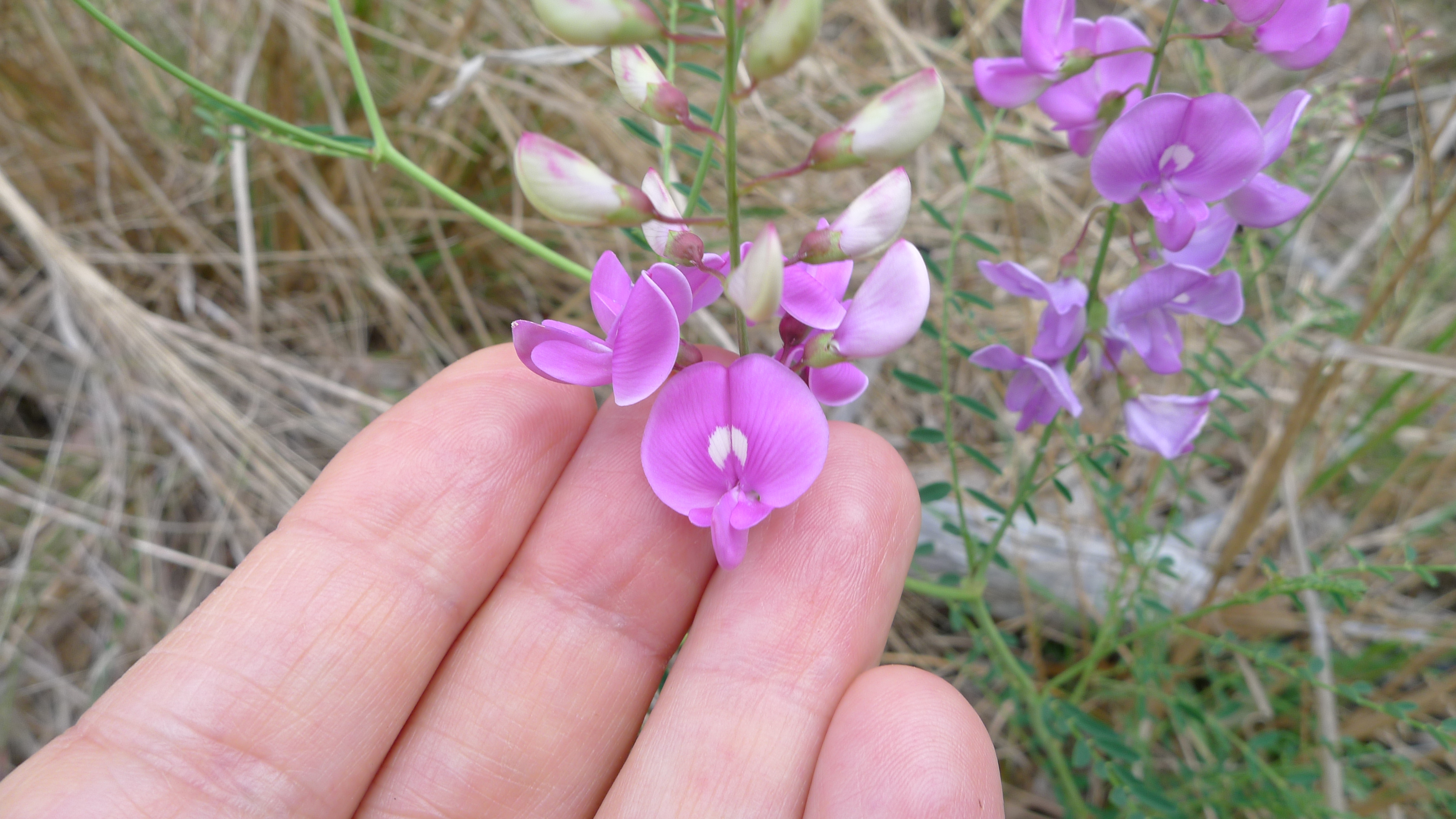
purple pea flower

Armidale-Kempsey Road_01

Armidale-Kempsey Road_05

Armidale-Kempsey Road_08

Armidale-Kempsey Road_09
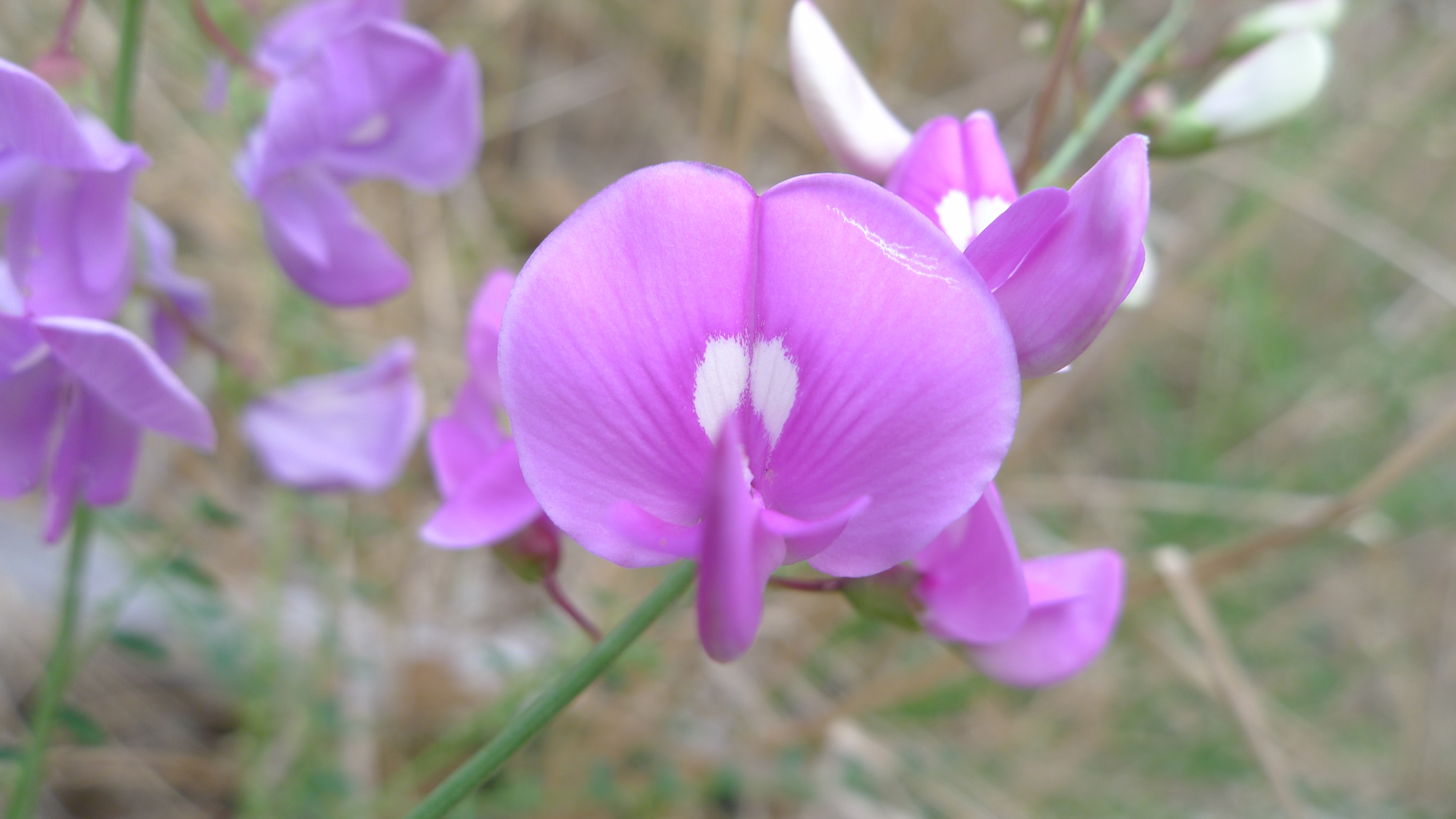
purple pea flower
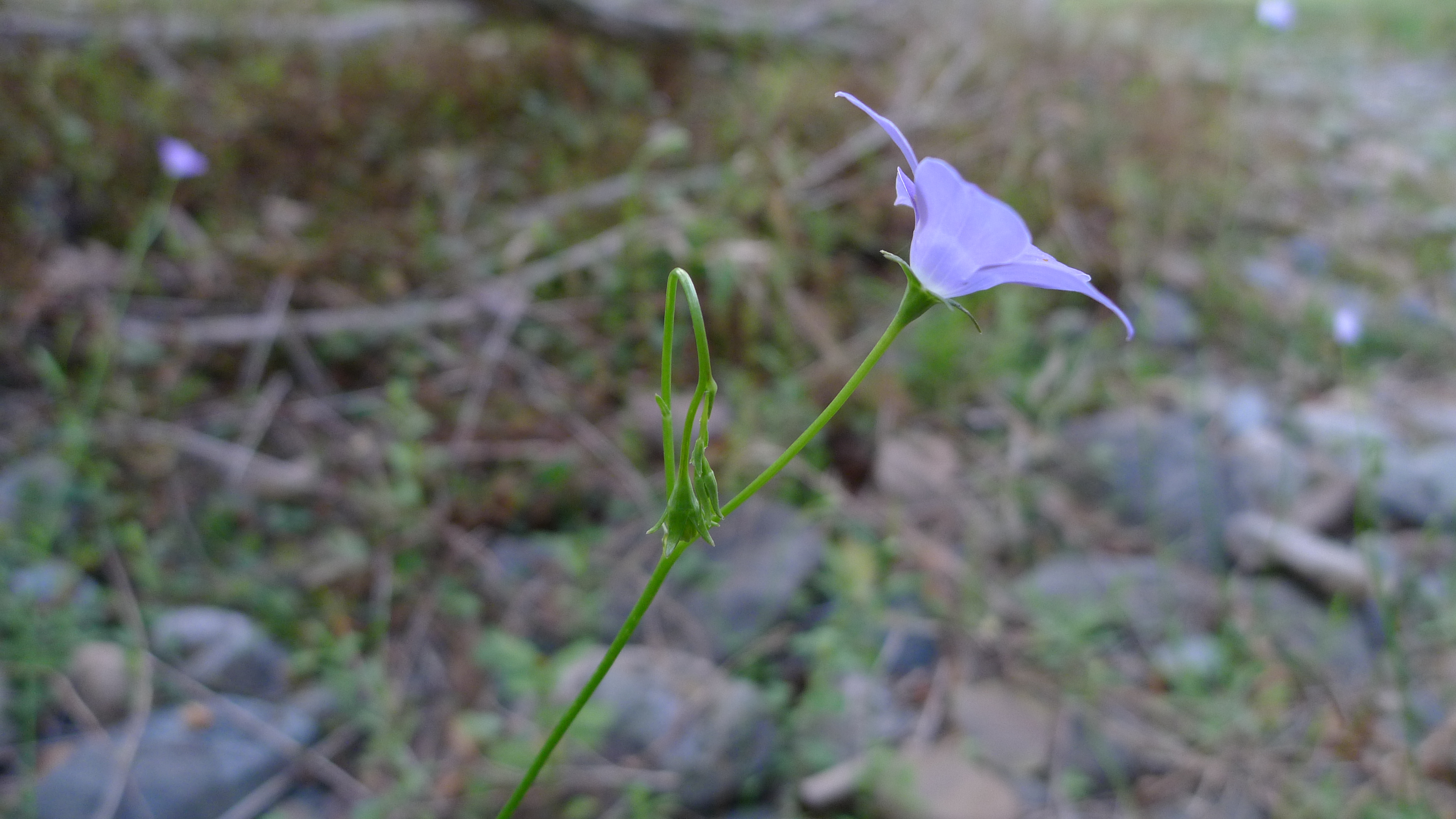
bluebell lateral

Popular Campsite
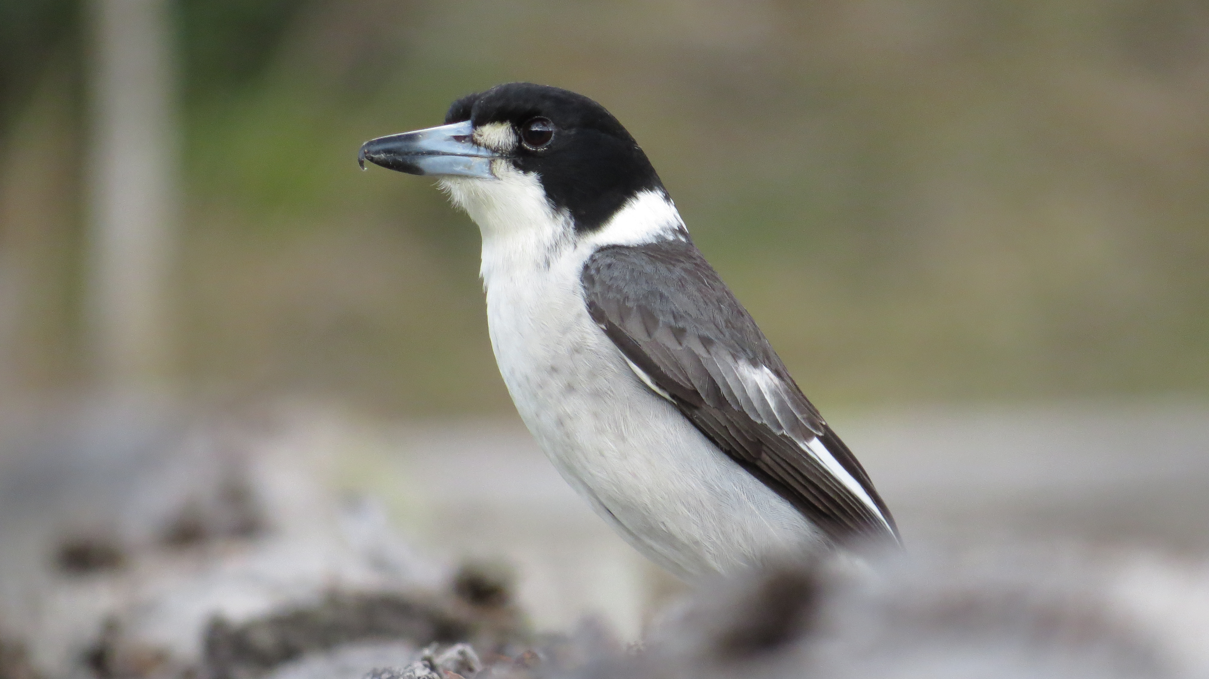
Pied Butcherbird
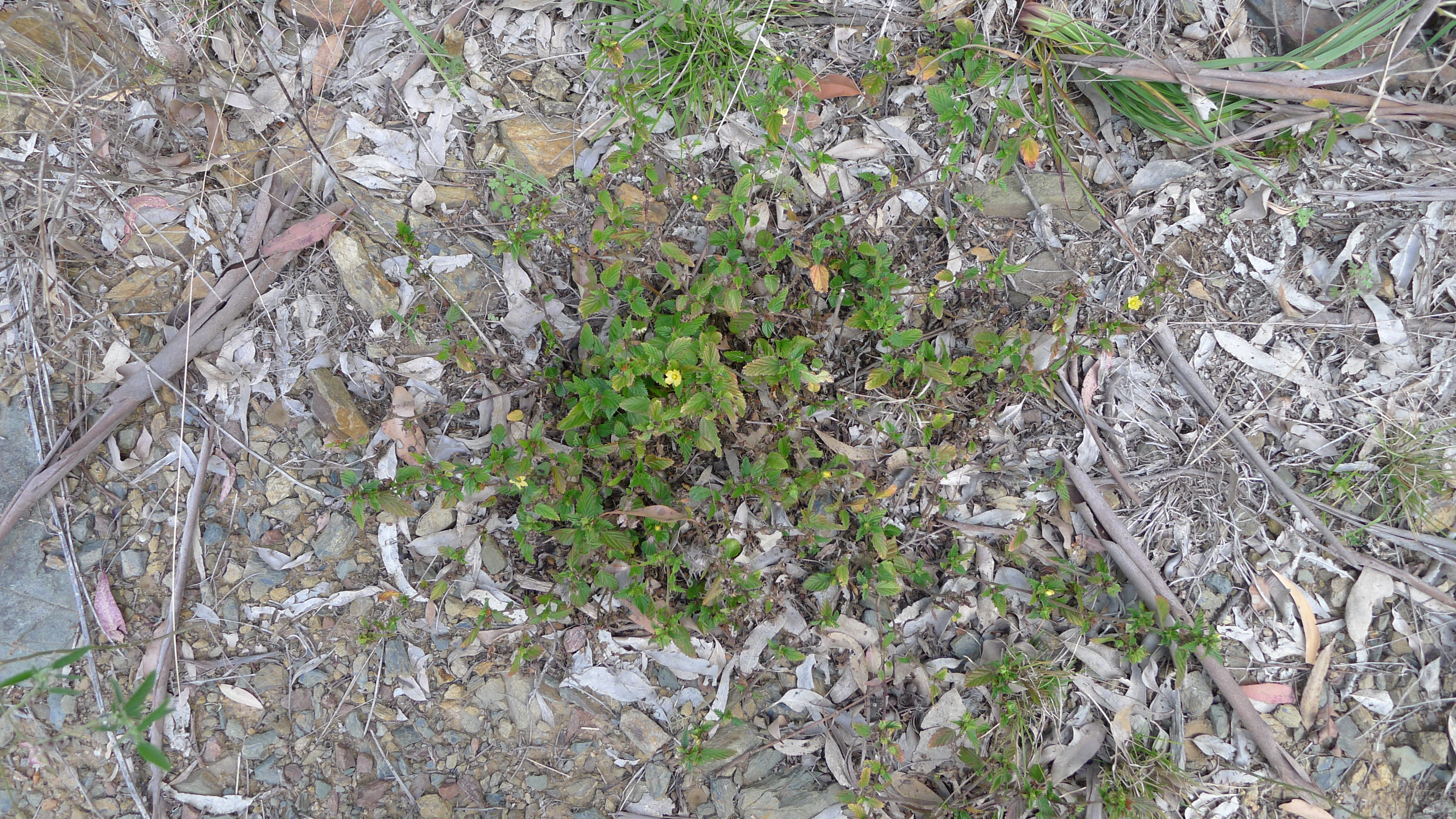
Sida habit
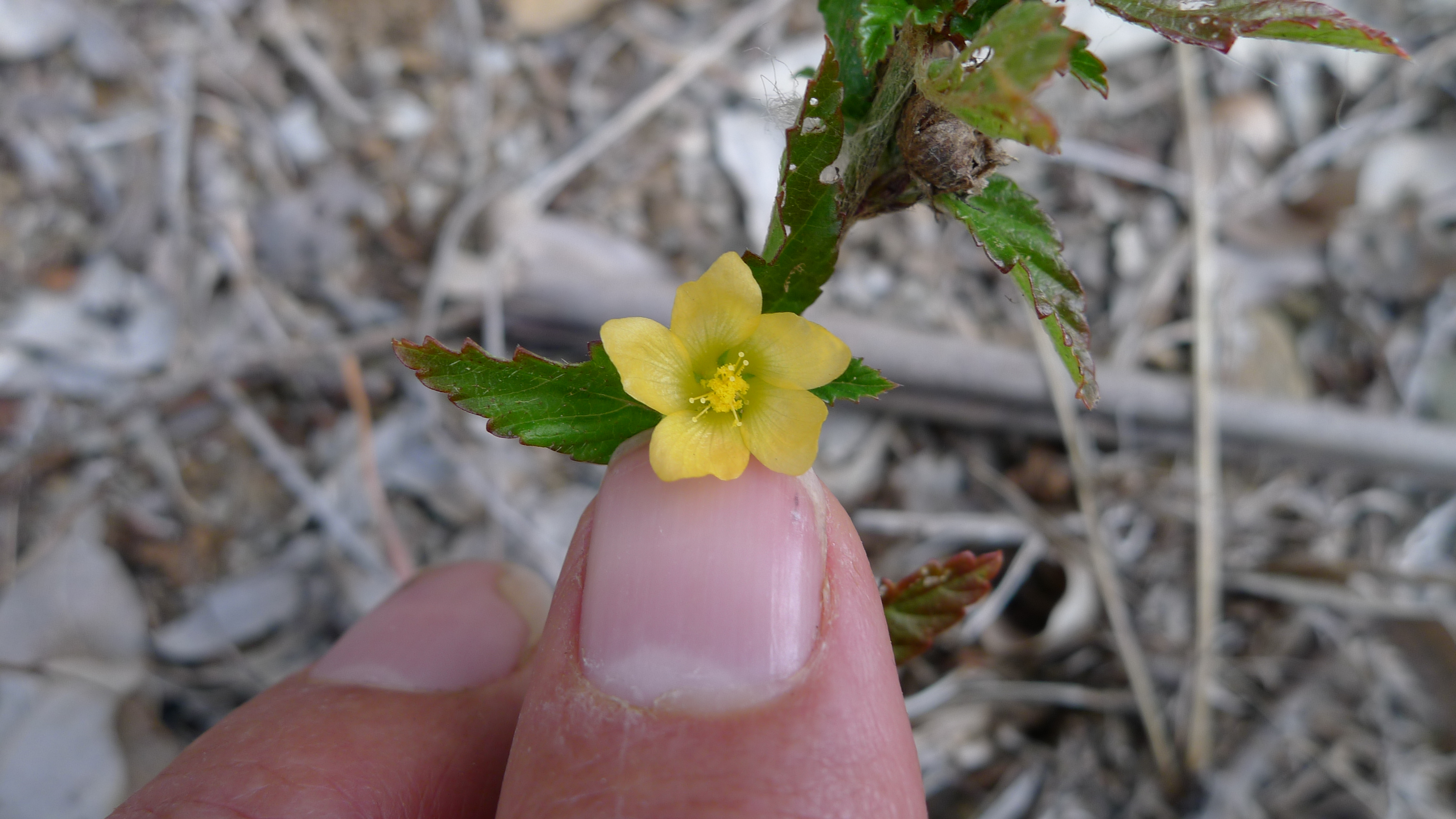
Sida flower
130511_0183MacleayRiverEastKunderangL.jpg
Fullers Bridge, Lane Cove River, Sydney
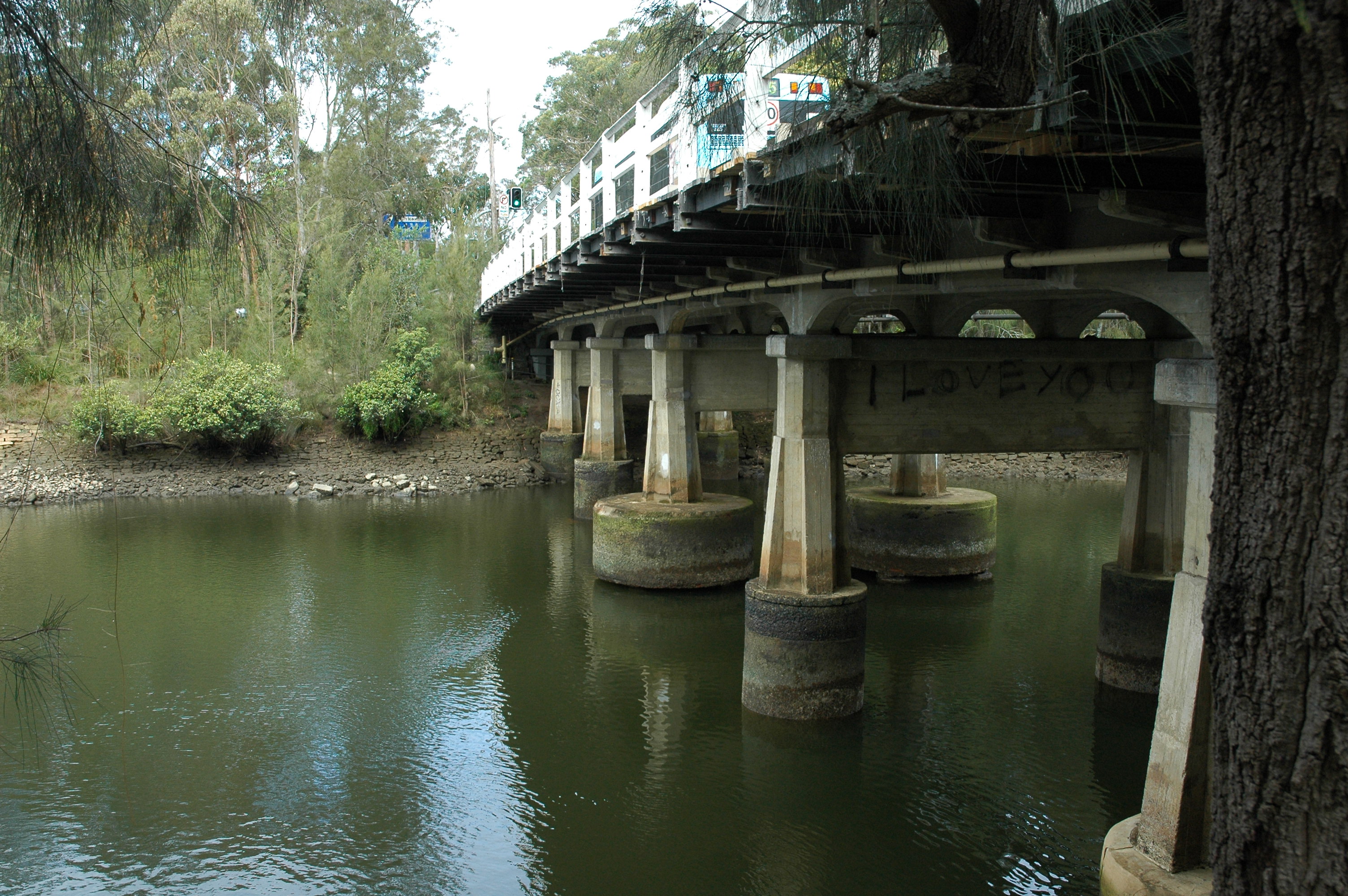
Fullers Bridge, Lane Cove River, Sydney
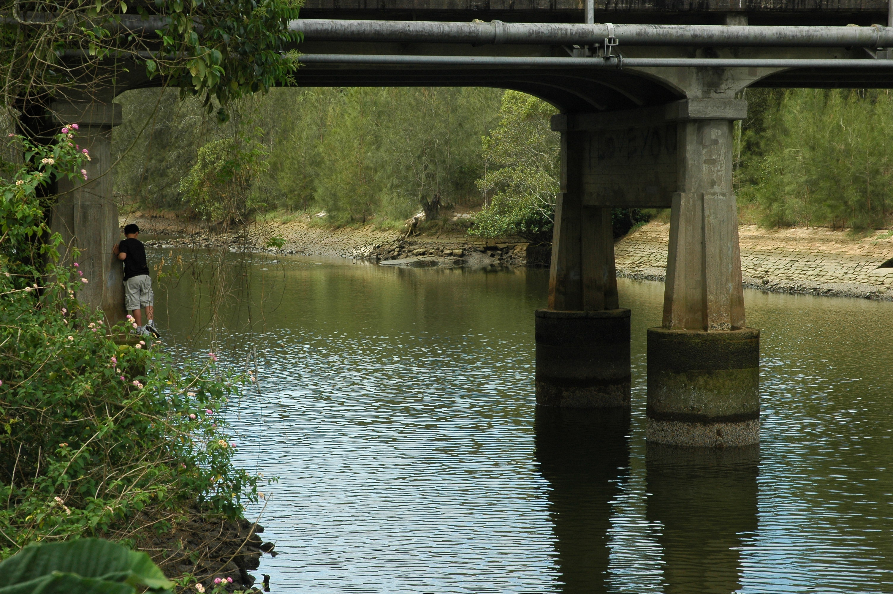
Fullers Bridge, Lane Cove River, Sydney

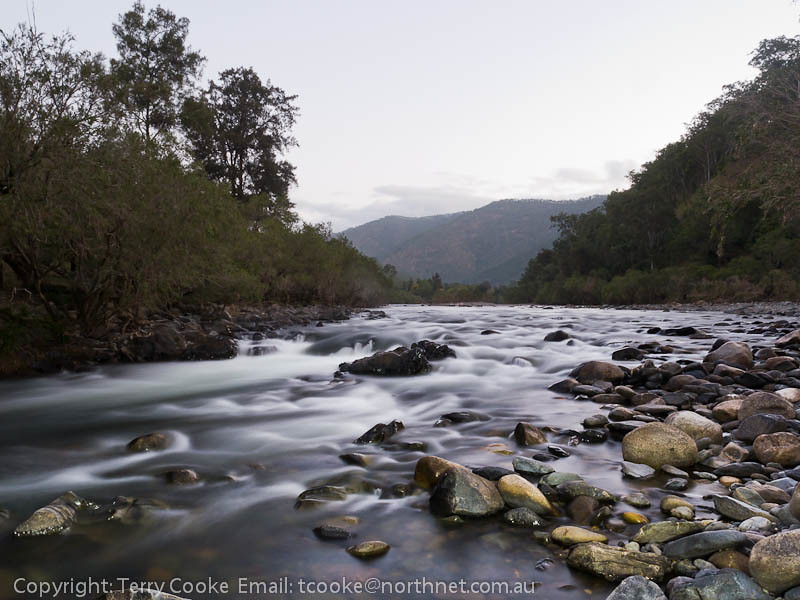
Bluff Creek Falls Carrai Plateau NSW
National Trail
オーストラリア 〒 ニューサウスウェールズ キャライの地図
別の場所を検索
近所の場所
Armidale Rd, Bellbrook NSW オーストラリア
オーストラリア 〒 ニューサウスウェールズ ベルブルック
Homewood, Nulla Nulla Creek Rd, Bellbrook NSW オーストラリア
Armidale Dumaresq, NSW, オーストラリアArmidale Dumaresq Council
オーストラリア 〒 ニューサウスウェールズ バラピン
オーストラリア 〒 ニューサウスウェールズ ミルバンク
オーストラリア 〒 ニュー・サウス・ウェールズ エバー
Taylors Arm Rd, Upper Taylors Arm NSW オーストラリアMedlow Public School
Greenhills Rd, Bakers Creek NSW オーストラリア
オーストラリア 〒 ニューサウスウェールズ タルガラー
Mchughs Creek Rd, South Arm NSW オーストラリア
オーストラリア ニューサウスウェールズ ナンブッカ・シャイア・カウンシル
オーストラリア ニューサウスウェールズ アーミデール・リージョナル・カウンシル
Darkwood Rd, Thora NSW オーストラリアChrysalis School
オーストラリア 〒 ニューサウスウェールズ ミッサボッティ
Deer Vale Rd, Fernbrook NSW オーストラリア
オーストラリア 〒 ニューサウスウェールズ ボウラビル
オーストラリア 〒 ニューサウスウェールズ カラン
64 Helliwells Rd, Missabotti NSW オーストラリア
Bellingen Rd, Missabotti NSW オーストラリア
最近の検索
- アメリカ合衆国 アラスカ州 レッド・ドッグ・マイン日の出日の入り時間
- Am bhf, Borken, ドイツアム・バーンホーフ日の出日の入り時間
- 4th St E, Sonoma, CA, USA日の出日の入り時間
- Oakland Ave, Williamsport, PA アメリカ合衆国日の出日の入り時間
- Via Roma, Pieranica CR, イタリアローマ通り日の出日の入り時間
- クロアチア 〒 ドゥブロブニク GradClock Tower of Dubrovnik日の出日の入り時間
- アルゼンチン チュブ州 トレリュー日の出日の入り時間
- Hartfords Bluff Cir, Mt Pleasant, SC アメリカ合衆国日の出日の入り時間
- 日本、熊本県熊本市北区日の出日の入り時間
- 中華人民共和国 福州市 平潭県 平潭島日の出日の入り時間