CA-70, Chilcoot, CA アメリカ合衆国日の出日の入り時間
Location: アメリカ合衆国 > カリフォルニア州 > プラマス > アメリカ合衆国 〒 カリフォルニア州 チルクート=ビントン チルクート >
時間帯:
America/Los_Angeles
現地時間:
2025-07-06 05:16:09
経度:
-120.1085287
緯度:
39.79146
今日の日の出時刻:
05:39:13 AM
今日の日の入時刻:
08:31:30 PM
今日の日長:
14h 52m 17s
明日の日の出時刻:
05:39:50 AM
明日の日の入時刻:
08:31:11 PM
明日の日長:
14h 51m 21s
すべて表示する
| 日付 | 日出 | 日没 | 日長 |
|---|---|---|---|
| 2025年01月01日 | 07:21:42 AM | 04:47:37 PM | 9h 25m 55s |
| 2025年01月02日 | 07:21:45 AM | 04:48:29 PM | 9h 26m 44s |
| 2025年01月03日 | 07:21:46 AM | 04:49:22 PM | 9h 27m 36s |
| 2025年01月04日 | 07:21:44 AM | 04:50:17 PM | 9h 28m 33s |
| 2025年01月05日 | 07:21:41 AM | 04:51:13 PM | 9h 29m 32s |
| 2025年01月06日 | 07:21:35 AM | 04:52:10 PM | 9h 30m 35s |
| 2025年01月07日 | 07:21:27 AM | 04:53:09 PM | 9h 31m 42s |
| 2025年01月08日 | 07:21:17 AM | 04:54:08 PM | 9h 32m 51s |
| 2025年01月09日 | 07:21:05 AM | 04:55:09 PM | 9h 34m 4s |
| 2025年01月10日 | 07:20:50 AM | 04:56:11 PM | 9h 35m 21s |
| 2025年01月11日 | 07:20:34 AM | 04:57:14 PM | 9h 36m 40s |
| 2025年01月12日 | 07:20:15 AM | 04:58:17 PM | 9h 38m 2s |
| 2025年01月13日 | 07:19:54 AM | 04:59:22 PM | 9h 39m 28s |
| 2025年01月14日 | 07:19:30 AM | 05:00:27 PM | 9h 40m 57s |
| 2025年01月15日 | 07:19:05 AM | 05:01:33 PM | 9h 42m 28s |
| 2025年01月16日 | 07:18:38 AM | 05:02:40 PM | 9h 44m 2s |
| 2025年01月17日 | 07:18:08 AM | 05:03:47 PM | 9h 45m 39s |
| 2025年01月18日 | 07:17:37 AM | 05:04:55 PM | 9h 47m 18s |
| 2025年01月19日 | 07:17:03 AM | 05:06:04 PM | 9h 49m 1s |
| 2025年01月20日 | 07:16:28 AM | 05:07:13 PM | 9h 50m 45s |
| 2025年01月21日 | 07:15:50 AM | 05:08:22 PM | 9h 52m 32s |
| 2025年01月22日 | 07:15:11 AM | 05:09:32 PM | 9h 54m 21s |
| 2025年01月23日 | 07:14:29 AM | 05:10:42 PM | 9h 56m 13s |
| 2025年01月24日 | 07:13:46 AM | 05:11:53 PM | 9h 58m 7s |
| 2025年01月25日 | 07:13:01 AM | 05:13:04 PM | 10h 0m 3s |
| 2025年01月26日 | 07:12:14 AM | 05:14:15 PM | 10h 2m 1s |
| 2025年01月27日 | 07:11:25 AM | 05:15:26 PM | 10h 4m 1s |
| 2025年01月28日 | 07:10:34 AM | 05:16:37 PM | 10h 6m 3s |
| 2025年01月29日 | 07:09:42 AM | 05:17:49 PM | 10h 8m 7s |
| 2025年01月30日 | 07:08:48 AM | 05:19:01 PM | 10h 10m 13s |
| 2025年01月31日 | 07:07:52 AM | 05:20:12 PM | 10h 12m 20s |
| 2025年02月01日 | 07:06:54 AM | 05:21:24 PM | 10h 14m 30s |
| 2025年02月02日 | 07:05:55 AM | 05:22:36 PM | 10h 16m 41s |
| 2025年02月03日 | 07:04:54 AM | 05:23:48 PM | 10h 18m 54s |
| 2025年02月04日 | 07:03:52 AM | 05:24:59 PM | 10h 21m 7s |
| 2025年02月05日 | 07:02:48 AM | 05:26:11 PM | 10h 23m 23s |
| 2025年02月06日 | 07:01:43 AM | 05:27:22 PM | 10h 25m 39s |
| 2025年02月07日 | 07:00:36 AM | 05:28:34 PM | 10h 27m 58s |
| 2025年02月08日 | 06:59:28 AM | 05:29:45 PM | 10h 30m 17s |
| 2025年02月09日 | 06:58:19 AM | 05:30:56 PM | 10h 32m 37s |
| 2025年02月10日 | 06:57:08 AM | 05:32:07 PM | 10h 34m 59s |
| 2025年02月11日 | 06:55:56 AM | 05:33:17 PM | 10h 37m 21s |
| 2025年02月12日 | 06:54:42 AM | 05:34:28 PM | 10h 39m 46s |
| 2025年02月13日 | 06:53:28 AM | 05:35:38 PM | 10h 42m 10s |
| 2025年02月14日 | 06:52:12 AM | 05:36:48 PM | 10h 44m 36s |
| 2025年02月15日 | 06:50:55 AM | 05:37:57 PM | 10h 47m 2s |
| 2025年02月16日 | 06:49:37 AM | 05:39:07 PM | 10h 49m 30s |
| 2025年02月17日 | 06:48:17 AM | 05:40:16 PM | 10h 51m 59s |
| 2025年02月18日 | 06:46:57 AM | 05:41:24 PM | 10h 54m 27s |
| 2025年02月19日 | 06:45:36 AM | 05:42:33 PM | 10h 56m 57s |
| 2025年02月20日 | 06:44:13 AM | 05:43:41 PM | 10h 59m 28s |
| 2025年02月21日 | 06:42:50 AM | 05:44:49 PM | 11h 1m 59s |
| 2025年02月22日 | 06:41:26 AM | 05:45:57 PM | 11h 4m 31s |
| 2025年02月23日 | 06:40:01 AM | 05:47:04 PM | 11h 7m 3s |
| 2025年02月24日 | 06:38:35 AM | 05:48:11 PM | 11h 9m 36s |
| 2025年02月25日 | 06:37:08 AM | 05:49:17 PM | 11h 12m 9s |
| 2025年02月26日 | 06:35:40 AM | 05:50:24 PM | 11h 14m 44s |
| 2025年02月27日 | 06:34:12 AM | 05:51:30 PM | 11h 17m 18s |
| 2025年02月28日 | 06:32:43 AM | 05:52:36 PM | 11h 19m 53s |
| 2025年03月01日 | 06:31:13 AM | 05:53:41 PM | 11h 22m 28s |
| 2025年03月02日 | 06:29:43 AM | 05:54:46 PM | 11h 25m 3s |
| 2025年03月03日 | 06:28:12 AM | 05:55:51 PM | 11h 27m 39s |
| 2025年03月04日 | 06:26:40 AM | 05:56:56 PM | 11h 30m 16s |
| 2025年03月05日 | 06:25:08 AM | 05:58:00 PM | 11h 32m 52s |
| 2025年03月06日 | 06:23:35 AM | 05:59:04 PM | 11h 35m 29s |
| 2025年03月07日 | 06:22:02 AM | 06:00:08 PM | 11h 38m 6s |
| 2025年03月08日 | 06:20:28 AM | 06:01:11 PM | 11h 40m 43s |
| 2025年03月09日 | 07:18:58 AM | 07:02:12 PM | 11h 43m 14s |
| 2025年03月10日 | 07:17:23 AM | 07:03:15 PM | 11h 45m 52s |
| 2025年03月11日 | 07:15:48 AM | 07:04:18 PM | 11h 48m 30s |
| 2025年03月12日 | 07:14:13 AM | 07:05:20 PM | 11h 51m 7s |
| 2025年03月13日 | 07:12:38 AM | 07:06:23 PM | 11h 53m 45s |
| 2025年03月14日 | 07:11:02 AM | 07:07:25 PM | 11h 56m 23s |
| 2025年03月15日 | 07:09:26 AM | 07:08:27 PM | 11h 59m 1s |
| 2025年03月16日 | 07:07:50 AM | 07:09:29 PM | 12h 1m 39s |
| 2025年03月17日 | 07:06:13 AM | 07:10:30 PM | 12h 4m 17s |
| 2025年03月18日 | 07:04:37 AM | 07:11:32 PM | 12h 6m 55s |
| 2025年03月19日 | 07:03:00 AM | 07:12:33 PM | 12h 9m 33s |
| 2025年03月20日 | 07:01:23 AM | 07:13:34 PM | 12h 12m 11s |
| 2025年03月21日 | 06:59:46 AM | 07:14:35 PM | 12h 14m 49s |
| 2025年03月22日 | 06:58:09 AM | 07:15:36 PM | 12h 17m 27s |
| 2025年03月23日 | 06:56:32 AM | 07:16:37 PM | 12h 20m 5s |
| 2025年03月24日 | 06:54:56 AM | 07:17:37 PM | 12h 22m 41s |
| 2025年03月25日 | 06:53:19 AM | 07:18:38 PM | 12h 25m 19s |
| 2025年03月26日 | 06:51:42 AM | 07:19:38 PM | 12h 27m 56s |
| 2025年03月27日 | 06:50:05 AM | 07:20:39 PM | 12h 30m 34s |
| 2025年03月28日 | 06:48:29 AM | 07:21:39 PM | 12h 33m 10s |
| 2025年03月29日 | 06:46:53 AM | 07:22:40 PM | 12h 35m 47s |
| 2025年03月30日 | 06:45:17 AM | 07:23:40 PM | 12h 38m 23s |
| 2025年03月31日 | 06:43:41 AM | 07:24:40 PM | 12h 40m 59s |
| 2025年04月01日 | 06:42:05 AM | 07:25:40 PM | 12h 43m 35s |
| 2025年04月02日 | 06:40:30 AM | 07:26:40 PM | 12h 46m 10s |
| 2025年04月03日 | 06:38:55 AM | 07:27:41 PM | 12h 48m 46s |
| 2025年04月04日 | 06:37:21 AM | 07:28:41 PM | 12h 51m 20s |
| 2025年04月05日 | 06:35:46 AM | 07:29:41 PM | 12h 53m 55s |
| 2025年04月06日 | 06:34:13 AM | 07:30:41 PM | 12h 56m 28s |
| 2025年04月07日 | 06:32:39 AM | 07:31:41 PM | 12h 59m 2s |
| 2025年04月08日 | 06:31:07 AM | 07:32:41 PM | 13h 1m 34s |
| 2025年04月09日 | 06:29:34 AM | 07:33:42 PM | 13h 4m 8s |
| 2025年04月10日 | 06:28:03 AM | 07:34:42 PM | 13h 6m 39s |
| 2025年04月11日 | 06:26:31 AM | 07:35:42 PM | 13h 9m 11s |
| 2025年04月12日 | 06:25:01 AM | 07:36:42 PM | 13h 11m 41s |
| 2025年04月13日 | 06:23:31 AM | 07:37:43 PM | 13h 14m 12s |
| 2025年04月14日 | 06:22:02 AM | 07:38:43 PM | 13h 16m 41s |
| 2025年04月15日 | 06:20:33 AM | 07:39:43 PM | 13h 19m 10s |
| 2025年04月16日 | 06:19:05 AM | 07:40:44 PM | 13h 21m 39s |
| 2025年04月17日 | 06:17:38 AM | 07:41:44 PM | 13h 24m 6s |
| 2025年04月18日 | 06:16:12 AM | 07:42:44 PM | 13h 26m 32s |
| 2025年04月19日 | 06:14:47 AM | 07:43:45 PM | 13h 28m 58s |
| 2025年04月20日 | 06:13:22 AM | 07:44:45 PM | 13h 31m 23s |
| 2025年04月21日 | 06:11:58 AM | 07:45:46 PM | 13h 33m 48s |
| 2025年04月22日 | 06:10:36 AM | 07:46:46 PM | 13h 36m 10s |
| 2025年04月23日 | 06:09:14 AM | 07:47:47 PM | 13h 38m 33s |
| 2025年04月24日 | 06:07:53 AM | 07:48:47 PM | 13h 40m 54s |
| 2025年04月25日 | 06:06:33 AM | 07:49:47 PM | 13h 43m 14s |
| 2025年04月26日 | 06:05:14 AM | 07:50:48 PM | 13h 45m 34s |
| 2025年04月27日 | 06:03:57 AM | 07:51:48 PM | 13h 47m 51s |
| 2025年04月28日 | 06:02:40 AM | 07:52:48 PM | 13h 50m 8s |
| 2025年04月29日 | 06:01:24 AM | 07:53:48 PM | 13h 52m 24s |
| 2025年04月30日 | 06:00:10 AM | 07:54:48 PM | 13h 54m 38s |
| 2025年05月01日 | 05:58:57 AM | 07:55:48 PM | 13h 56m 51s |
| 2025年05月02日 | 05:57:45 AM | 07:56:48 PM | 13h 59m 3s |
| 2025年05月03日 | 05:56:35 AM | 07:57:48 PM | 14h 1m 13s |
| 2025年05月04日 | 05:55:25 AM | 07:58:47 PM | 14h 3m 22s |
| 2025年05月05日 | 05:54:17 AM | 07:59:46 PM | 14h 5m 29s |
| 2025年05月06日 | 05:53:11 AM | 08:00:45 PM | 14h 7m 34s |
| 2025年05月07日 | 05:52:05 AM | 08:01:44 PM | 14h 9m 39s |
| 2025年05月08日 | 05:51:01 AM | 08:02:43 PM | 14h 11m 42s |
| 2025年05月09日 | 05:49:59 AM | 08:03:41 PM | 14h 13m 42s |
| 2025年05月10日 | 05:48:58 AM | 08:04:39 PM | 14h 15m 41s |
| 2025年05月11日 | 05:47:59 AM | 08:05:36 PM | 14h 17m 37s |
| 2025年05月12日 | 05:47:01 AM | 08:06:33 PM | 14h 19m 32s |
| 2025年05月13日 | 05:46:04 AM | 08:07:30 PM | 14h 21m 26s |
| 2025年05月14日 | 05:45:09 AM | 08:08:26 PM | 14h 23m 17s |
| 2025年05月15日 | 05:44:16 AM | 08:09:22 PM | 14h 25m 6s |
| 2025年05月16日 | 05:43:25 AM | 08:10:17 PM | 14h 26m 52s |
| 2025年05月17日 | 05:42:35 AM | 08:11:12 PM | 14h 28m 37s |
| 2025年05月18日 | 05:41:46 AM | 08:12:06 PM | 14h 30m 20s |
| 2025年05月19日 | 05:41:00 AM | 08:13:00 PM | 14h 32m 0s |
| 2025年05月20日 | 05:40:15 AM | 08:13:53 PM | 14h 33m 38s |
| 2025年05月21日 | 05:39:32 AM | 08:14:45 PM | 14h 35m 13s |
| 2025年05月22日 | 05:38:51 AM | 08:15:36 PM | 14h 36m 45s |
| 2025年05月23日 | 05:38:11 AM | 08:16:27 PM | 14h 38m 16s |
| 2025年05月24日 | 05:37:34 AM | 08:17:17 PM | 14h 39m 43s |
| 2025年05月25日 | 05:36:58 AM | 08:18:06 PM | 14h 41m 8s |
| 2025年05月26日 | 05:36:24 AM | 08:18:54 PM | 14h 42m 30s |
| 2025年05月27日 | 05:35:51 AM | 08:19:41 PM | 14h 43m 50s |
| 2025年05月28日 | 05:35:21 AM | 08:20:28 PM | 14h 45m 7s |
| 2025年05月29日 | 05:34:53 AM | 08:21:13 PM | 14h 46m 20s |
| 2025年05月30日 | 05:34:26 AM | 08:21:57 PM | 14h 47m 31s |
| 2025年05月31日 | 05:34:02 AM | 08:22:40 PM | 14h 48m 38s |
| 2025年06月01日 | 05:33:39 AM | 08:23:22 PM | 14h 49m 43s |
| 2025年06月02日 | 05:33:18 AM | 08:24:03 PM | 14h 50m 45s |
| 2025年06月03日 | 05:32:59 AM | 08:24:42 PM | 14h 51m 43s |
| 2025年06月04日 | 05:32:42 AM | 08:25:20 PM | 14h 52m 38s |
| 2025年06月05日 | 05:32:27 AM | 08:25:57 PM | 14h 53m 30s |
| 2025年06月06日 | 05:32:14 AM | 08:26:33 PM | 14h 54m 19s |
| 2025年06月07日 | 05:32:03 AM | 08:27:07 PM | 14h 55m 4s |
| 2025年06月08日 | 05:31:54 AM | 08:27:40 PM | 14h 55m 46s |
| 2025年06月09日 | 05:31:47 AM | 08:28:11 PM | 14h 56m 24s |
| 2025年06月10日 | 05:31:41 AM | 08:28:41 PM | 14h 57m 0s |
| 2025年06月11日 | 05:31:38 AM | 08:29:09 PM | 14h 57m 31s |
| 2025年06月12日 | 05:31:36 AM | 08:29:36 PM | 14h 58m 0s |
| 2025年06月13日 | 05:31:36 AM | 08:30:01 PM | 14h 58m 25s |
| 2025年06月14日 | 05:31:39 AM | 08:30:25 PM | 14h 58m 46s |
| 2025年06月15日 | 05:31:43 AM | 08:30:46 PM | 14h 59m 3s |
| 2025年06月16日 | 05:31:49 AM | 08:31:07 PM | 14h 59m 18s |
| 2025年06月17日 | 05:31:56 AM | 08:31:25 PM | 14h 59m 29s |
| 2025年06月18日 | 05:32:06 AM | 08:31:42 PM | 14h 59m 36s |
| 2025年06月19日 | 05:32:17 AM | 08:31:56 PM | 14h 59m 39s |
| 2025年06月20日 | 05:32:30 AM | 08:32:09 PM | 14h 59m 39s |
| 2025年06月21日 | 05:32:45 AM | 08:32:21 PM | 14h 59m 36s |
| 2025年06月22日 | 05:33:02 AM | 08:32:30 PM | 14h 59m 28s |
| 2025年06月23日 | 05:33:20 AM | 08:32:37 PM | 14h 59m 17s |
| 2025年06月24日 | 05:33:40 AM | 08:32:43 PM | 14h 59m 3s |
| 2025年06月25日 | 05:34:02 AM | 08:32:47 PM | 14h 58m 45s |
| 2025年06月26日 | 05:34:25 AM | 08:32:48 PM | 14h 58m 23s |
| 2025年06月27日 | 05:34:49 AM | 08:32:48 PM | 14h 57m 59s |
| 2025年06月28日 | 05:35:16 AM | 08:32:46 PM | 14h 57m 30s |
| 2025年06月29日 | 05:35:43 AM | 08:32:42 PM | 14h 56m 59s |
| 2025年06月30日 | 05:36:13 AM | 08:32:36 PM | 14h 56m 23s |
| 2025年07月01日 | 05:36:43 AM | 08:32:28 PM | 14h 55m 45s |
| 2025年07月02日 | 05:37:15 AM | 08:32:18 PM | 14h 55m 3s |
| 2025年07月03日 | 05:37:48 AM | 08:32:06 PM | 14h 54m 18s |
| 2025年07月04日 | 05:38:23 AM | 08:31:52 PM | 14h 53m 29s |
| 2025年07月05日 | 05:38:59 AM | 08:31:36 PM | 14h 52m 37s |
| 2025年07月06日 | 05:39:36 AM | 08:31:18 PM | 14h 51m 42s |
| 2025年07月07日 | 05:40:14 AM | 08:30:58 PM | 14h 50m 44s |
| 2025年07月08日 | 05:40:54 AM | 08:30:37 PM | 14h 49m 43s |
| 2025年07月09日 | 05:41:35 AM | 08:30:13 PM | 14h 48m 38s |
| 2025年07月10日 | 05:42:16 AM | 08:29:47 PM | 14h 47m 31s |
| 2025年07月11日 | 05:42:59 AM | 08:29:19 PM | 14h 46m 20s |
| 2025年07月12日 | 05:43:42 AM | 08:28:50 PM | 14h 45m 8s |
| 2025年07月13日 | 05:44:27 AM | 08:28:18 PM | 14h 43m 51s |
| 2025年07月14日 | 05:45:12 AM | 08:27:45 PM | 14h 42m 33s |
| 2025年07月15日 | 05:45:59 AM | 08:27:10 PM | 14h 41m 11s |
| 2025年07月16日 | 05:46:46 AM | 08:26:33 PM | 14h 39m 47s |
| 2025年07月17日 | 05:47:34 AM | 08:25:54 PM | 14h 38m 20s |
| 2025年07月18日 | 05:48:22 AM | 08:25:13 PM | 14h 36m 51s |
| 2025年07月19日 | 05:49:12 AM | 08:24:30 PM | 14h 35m 18s |
| 2025年07月20日 | 05:50:02 AM | 08:23:46 PM | 14h 33m 44s |
| 2025年07月21日 | 05:50:52 AM | 08:23:00 PM | 14h 32m 8s |
| 2025年07月22日 | 05:51:44 AM | 08:22:12 PM | 14h 30m 28s |
| 2025年07月23日 | 05:52:35 AM | 08:21:22 PM | 14h 28m 47s |
| 2025年07月24日 | 05:53:28 AM | 08:20:31 PM | 14h 27m 3s |
| 2025年07月25日 | 05:54:20 AM | 08:19:38 PM | 14h 25m 18s |
| 2025年07月26日 | 05:55:14 AM | 08:18:43 PM | 14h 23m 29s |
| 2025年07月27日 | 05:56:07 AM | 08:17:47 PM | 14h 21m 40s |
| 2025年07月28日 | 05:57:01 AM | 08:16:49 PM | 14h 19m 48s |
| 2025年07月29日 | 05:57:56 AM | 08:15:50 PM | 14h 17m 54s |
| 2025年07月30日 | 05:58:50 AM | 08:14:49 PM | 14h 15m 59s |
| 2025年07月31日 | 05:59:45 AM | 08:13:46 PM | 14h 14m 1s |
| 2025年08月01日 | 06:00:40 AM | 08:12:42 PM | 14h 12m 2s |
| 2025年08月02日 | 06:01:36 AM | 08:11:37 PM | 14h 10m 1s |
| 2025年08月03日 | 06:02:31 AM | 08:10:30 PM | 14h 7m 59s |
| 2025年08月04日 | 06:03:27 AM | 08:09:22 PM | 14h 5m 55s |
| 2025年08月05日 | 06:04:23 AM | 08:08:13 PM | 14h 3m 50s |
| 2025年08月06日 | 06:05:19 AM | 08:07:02 PM | 14h 1m 43s |
| 2025年08月07日 | 06:06:16 AM | 08:05:50 PM | 13h 59m 34s |
| 2025年08月08日 | 06:07:12 AM | 08:04:36 PM | 13h 57m 24s |
| 2025年08月09日 | 06:08:09 AM | 08:03:21 PM | 13h 55m 12s |
| 2025年08月10日 | 06:09:05 AM | 08:02:05 PM | 13h 53m 0s |
| 2025年08月11日 | 06:10:02 AM | 08:00:48 PM | 13h 50m 46s |
| 2025年08月12日 | 06:10:58 AM | 07:59:30 PM | 13h 48m 32s |
| 2025年08月13日 | 06:11:55 AM | 07:58:11 PM | 13h 46m 16s |
| 2025年08月14日 | 06:12:52 AM | 07:56:50 PM | 13h 43m 58s |
| 2025年08月15日 | 06:13:48 AM | 07:55:29 PM | 13h 41m 41s |
| 2025年08月16日 | 06:14:45 AM | 07:54:07 PM | 13h 39m 22s |
| 2025年08月17日 | 06:15:41 AM | 07:52:43 PM | 13h 37m 2s |
| 2025年08月18日 | 06:16:38 AM | 07:51:19 PM | 13h 34m 41s |
| 2025年08月19日 | 06:17:35 AM | 07:49:53 PM | 13h 32m 18s |
| 2025年08月20日 | 06:18:31 AM | 07:48:27 PM | 13h 29m 56s |
| 2025年08月21日 | 06:19:28 AM | 07:47:00 PM | 13h 27m 32s |
| 2025年08月22日 | 06:20:24 AM | 07:45:32 PM | 13h 25m 8s |
| 2025年08月23日 | 06:21:20 AM | 07:44:03 PM | 13h 22m 43s |
| 2025年08月24日 | 06:22:17 AM | 07:42:34 PM | 13h 20m 17s |
| 2025年08月25日 | 06:23:13 AM | 07:41:03 PM | 13h 17m 50s |
| 2025年08月26日 | 06:24:09 AM | 07:39:32 PM | 13h 15m 23s |
| 2025年08月27日 | 06:25:05 AM | 07:38:01 PM | 13h 12m 56s |
| 2025年08月28日 | 06:26:02 AM | 07:36:29 PM | 13h 10m 27s |
| 2025年08月29日 | 06:26:58 AM | 07:34:56 PM | 13h 7m 58s |
| 2025年08月30日 | 06:27:54 AM | 07:33:22 PM | 13h 5m 28s |
| 2025年08月31日 | 06:28:49 AM | 07:31:48 PM | 13h 2m 59s |
| 2025年09月01日 | 06:29:45 AM | 07:30:13 PM | 13h 0m 28s |
| 2025年09月02日 | 06:30:41 AM | 07:28:38 PM | 12h 57m 57s |
| 2025年09月03日 | 06:31:37 AM | 07:27:03 PM | 12h 55m 26s |
| 2025年09月04日 | 06:32:33 AM | 07:25:27 PM | 12h 52m 54s |
| 2025年09月05日 | 06:33:29 AM | 07:23:50 PM | 12h 50m 21s |
| 2025年09月06日 | 06:34:24 AM | 07:22:14 PM | 12h 47m 50s |
| 2025年09月07日 | 06:35:20 AM | 07:20:36 PM | 12h 45m 16s |
| 2025年09月08日 | 06:36:16 AM | 07:18:59 PM | 12h 42m 43s |
| 2025年09月09日 | 06:37:12 AM | 07:17:21 PM | 12h 40m 9s |
| 2025年09月10日 | 06:38:07 AM | 07:15:43 PM | 12h 37m 36s |
| 2025年09月11日 | 06:39:03 AM | 07:14:05 PM | 12h 35m 2s |
| 2025年09月12日 | 06:39:59 AM | 07:12:26 PM | 12h 32m 27s |
| 2025年09月13日 | 06:40:55 AM | 07:10:48 PM | 12h 29m 53s |
| 2025年09月14日 | 06:41:51 AM | 07:09:09 PM | 12h 27m 18s |
| 2025年09月15日 | 06:42:47 AM | 07:07:30 PM | 12h 24m 43s |
| 2025年09月16日 | 06:43:43 AM | 07:05:51 PM | 12h 22m 8s |
| 2025年09月17日 | 06:44:39 AM | 07:04:12 PM | 12h 19m 33s |
| 2025年09月18日 | 06:45:35 AM | 07:02:33 PM | 12h 16m 58s |
| 2025年09月19日 | 06:46:31 AM | 07:00:54 PM | 12h 14m 23s |
| 2025年09月20日 | 06:47:28 AM | 06:59:15 PM | 12h 11m 47s |
| 2025年09月21日 | 06:48:25 AM | 06:57:36 PM | 12h 9m 11s |
| 2025年09月22日 | 06:49:21 AM | 06:55:57 PM | 12h 6m 36s |
| 2025年09月23日 | 06:50:18 AM | 06:54:19 PM | 12h 4m 1s |
| 2025年09月24日 | 06:51:15 AM | 06:52:40 PM | 12h 1m 25s |
| 2025年09月25日 | 06:52:12 AM | 06:51:02 PM | 11h 58m 50s |
| 2025年09月26日 | 06:53:10 AM | 06:49:24 PM | 11h 56m 14s |
| 2025年09月27日 | 06:54:07 AM | 06:47:46 PM | 11h 53m 39s |
| 2025年09月28日 | 06:55:05 AM | 06:46:08 PM | 11h 51m 3s |
| 2025年09月29日 | 06:56:03 AM | 06:44:31 PM | 11h 48m 28s |
| 2025年09月30日 | 06:57:02 AM | 06:42:54 PM | 11h 45m 52s |
| 2025年10月01日 | 06:58:00 AM | 06:41:17 PM | 11h 43m 17s |
| 2025年10月02日 | 06:58:59 AM | 06:39:41 PM | 11h 40m 42s |
| 2025年10月03日 | 06:59:58 AM | 06:38:05 PM | 11h 38m 7s |
| 2025年10月04日 | 07:00:57 AM | 06:36:29 PM | 11h 35m 32s |
| 2025年10月05日 | 07:01:57 AM | 06:34:55 PM | 11h 32m 58s |
| 2025年10月06日 | 07:02:56 AM | 06:33:20 PM | 11h 30m 24s |
| 2025年10月07日 | 07:03:57 AM | 06:31:46 PM | 11h 27m 49s |
| 2025年10月08日 | 07:04:57 AM | 06:30:13 PM | 11h 25m 16s |
| 2025年10月09日 | 07:05:58 AM | 06:28:41 PM | 11h 22m 43s |
| 2025年10月10日 | 07:06:59 AM | 06:27:09 PM | 11h 20m 10s |
| 2025年10月11日 | 07:08:00 AM | 06:25:37 PM | 11h 17m 37s |
| 2025年10月12日 | 07:09:02 AM | 06:24:07 PM | 11h 15m 5s |
| 2025年10月13日 | 07:10:04 AM | 06:22:37 PM | 11h 12m 33s |
| 2025年10月14日 | 07:11:06 AM | 06:21:08 PM | 11h 10m 2s |
| 2025年10月15日 | 07:12:09 AM | 06:19:40 PM | 11h 7m 31s |
| 2025年10月16日 | 07:13:12 AM | 06:18:12 PM | 11h 5m 0s |
| 2025年10月17日 | 07:14:15 AM | 06:16:46 PM | 11h 2m 31s |
| 2025年10月18日 | 07:15:19 AM | 06:15:20 PM | 11h 0m 1s |
| 2025年10月19日 | 07:16:23 AM | 06:13:55 PM | 10h 57m 32s |
| 2025年10月20日 | 07:17:27 AM | 06:12:32 PM | 10h 55m 5s |
| 2025年10月21日 | 07:18:32 AM | 06:11:09 PM | 10h 52m 37s |
| 2025年10月22日 | 07:19:37 AM | 06:09:47 PM | 10h 50m 10s |
| 2025年10月23日 | 07:20:42 AM | 06:08:27 PM | 10h 47m 45s |
| 2025年10月24日 | 07:21:47 AM | 06:07:07 PM | 10h 45m 20s |
| 2025年10月25日 | 07:22:53 AM | 06:05:49 PM | 10h 42m 56s |
| 2025年10月26日 | 07:23:59 AM | 06:04:32 PM | 10h 40m 33s |
| 2025年10月27日 | 07:25:06 AM | 06:03:16 PM | 10h 38m 10s |
| 2025年10月28日 | 07:26:13 AM | 06:02:01 PM | 10h 35m 48s |
| 2025年10月29日 | 07:27:20 AM | 06:00:48 PM | 10h 33m 28s |
| 2025年10月30日 | 07:28:27 AM | 05:59:36 PM | 10h 31m 9s |
| 2025年10月31日 | 07:29:34 AM | 05:58:25 PM | 10h 28m 51s |
| 2025年11月01日 | 07:30:42 AM | 05:57:16 PM | 10h 26m 34s |
| 2025年11月02日 | 06:31:53 AM | 04:56:06 PM | 10h 24m 13s |
| 2025年11月03日 | 06:33:01 AM | 04:54:59 PM | 10h 21m 58s |
| 2025年11月04日 | 06:34:09 AM | 04:53:55 PM | 10h 19m 46s |
| 2025年11月05日 | 06:35:17 AM | 04:52:51 PM | 10h 17m 34s |
| 2025年11月06日 | 06:36:26 AM | 04:51:50 PM | 10h 15m 24s |
| 2025年11月07日 | 06:37:34 AM | 04:50:50 PM | 10h 13m 16s |
| 2025年11月08日 | 06:38:43 AM | 04:49:51 PM | 10h 11m 8s |
| 2025年11月09日 | 06:39:51 AM | 04:48:54 PM | 10h 9m 3s |
| 2025年11月10日 | 06:41:00 AM | 04:47:59 PM | 10h 6m 59s |
| 2025年11月11日 | 06:42:08 AM | 04:47:06 PM | 10h 4m 58s |
| 2025年11月12日 | 06:43:17 AM | 04:46:15 PM | 10h 2m 58s |
| 2025年11月13日 | 06:44:25 AM | 04:45:25 PM | 10h 1m 0s |
| 2025年11月14日 | 06:45:33 AM | 04:44:37 PM | 9h 59m 4s |
| 2025年11月15日 | 06:46:41 AM | 04:43:51 PM | 9h 57m 10s |
| 2025年11月16日 | 06:47:49 AM | 04:43:07 PM | 9h 55m 18s |
| 2025年11月17日 | 06:48:56 AM | 04:42:25 PM | 9h 53m 29s |
| 2025年11月18日 | 06:50:04 AM | 04:41:45 PM | 9h 51m 41s |
| 2025年11月19日 | 06:51:10 AM | 04:41:06 PM | 9h 49m 56s |
| 2025年11月20日 | 06:52:17 AM | 04:40:30 PM | 9h 48m 13s |
| 2025年11月21日 | 06:53:23 AM | 04:39:56 PM | 9h 46m 33s |
| 2025年11月22日 | 06:54:28 AM | 04:39:24 PM | 9h 44m 56s |
| 2025年11月23日 | 06:55:33 AM | 04:38:54 PM | 9h 43m 21s |
| 2025年11月24日 | 06:56:37 AM | 04:38:26 PM | 9h 41m 49s |
| 2025年11月25日 | 06:57:41 AM | 04:38:00 PM | 9h 40m 19s |
| 2025年11月26日 | 06:58:44 AM | 04:37:36 PM | 9h 38m 52s |
| 2025年11月27日 | 06:59:46 AM | 04:37:15 PM | 9h 37m 29s |
| 2025年11月28日 | 07:00:48 AM | 04:36:56 PM | 9h 36m 8s |
| 2025年11月29日 | 07:01:49 AM | 04:36:39 PM | 9h 34m 50s |
| 2025年11月30日 | 07:02:48 AM | 04:36:24 PM | 9h 33m 36s |
| 2025年12月01日 | 07:03:47 AM | 04:36:11 PM | 9h 32m 24s |
| 2025年12月02日 | 07:04:45 AM | 04:36:01 PM | 9h 31m 16s |
| 2025年12月03日 | 07:05:41 AM | 04:35:53 PM | 9h 30m 12s |
| 2025年12月04日 | 07:06:37 AM | 04:35:47 PM | 9h 29m 10s |
| 2025年12月05日 | 07:07:31 AM | 04:35:43 PM | 9h 28m 12s |
| 2025年12月06日 | 07:08:25 AM | 04:35:41 PM | 9h 27m 16s |
| 2025年12月07日 | 07:09:16 AM | 04:35:42 PM | 9h 26m 26s |
| 2025年12月08日 | 07:10:07 AM | 04:35:45 PM | 9h 25m 38s |
| 2025年12月09日 | 07:10:56 AM | 04:35:51 PM | 9h 24m 55s |
| 2025年12月10日 | 07:11:44 AM | 04:35:58 PM | 9h 24m 14s |
| 2025年12月11日 | 07:12:30 AM | 04:36:08 PM | 9h 23m 38s |
| 2025年12月12日 | 07:13:15 AM | 04:36:20 PM | 9h 23m 5s |
| 2025年12月13日 | 07:13:58 AM | 04:36:34 PM | 9h 22m 36s |
| 2025年12月14日 | 07:14:39 AM | 04:36:50 PM | 9h 22m 11s |
| 2025年12月15日 | 07:15:19 AM | 04:37:09 PM | 9h 21m 50s |
| 2025年12月16日 | 07:15:57 AM | 04:37:29 PM | 9h 21m 32s |
| 2025年12月17日 | 07:16:33 AM | 04:37:52 PM | 9h 21m 19s |
| 2025年12月18日 | 07:17:08 AM | 04:38:17 PM | 9h 21m 9s |
| 2025年12月19日 | 07:17:40 AM | 04:38:44 PM | 9h 21m 4s |
| 2025年12月20日 | 07:18:11 AM | 04:39:13 PM | 9h 21m 2s |
| 2025年12月21日 | 07:18:40 AM | 04:39:44 PM | 9h 21m 4s |
| 2025年12月22日 | 07:19:06 AM | 04:40:17 PM | 9h 21m 11s |
| 2025年12月23日 | 07:19:31 AM | 04:40:51 PM | 9h 21m 20s |
| 2025年12月24日 | 07:19:54 AM | 04:41:28 PM | 9h 21m 34s |
| 2025年12月25日 | 07:20:15 AM | 04:42:07 PM | 9h 21m 52s |
| 2025年12月26日 | 07:20:33 AM | 04:42:47 PM | 9h 22m 14s |
| 2025年12月27日 | 07:20:50 AM | 04:43:29 PM | 9h 22m 39s |
| 2025年12月28日 | 07:21:04 AM | 04:44:13 PM | 9h 23m 9s |
| 2025年12月29日 | 07:21:17 AM | 04:44:58 PM | 9h 23m 41s |
| 2025年12月30日 | 07:21:27 AM | 04:45:45 PM | 9h 24m 18s |
| 2025年12月31日 | 07:21:35 AM | 04:46:34 PM | 9h 24m 59s |
写真
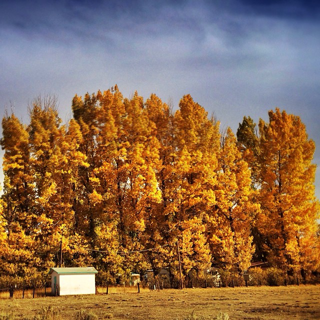
Vinton presents #fall #color.

Red Rock Road
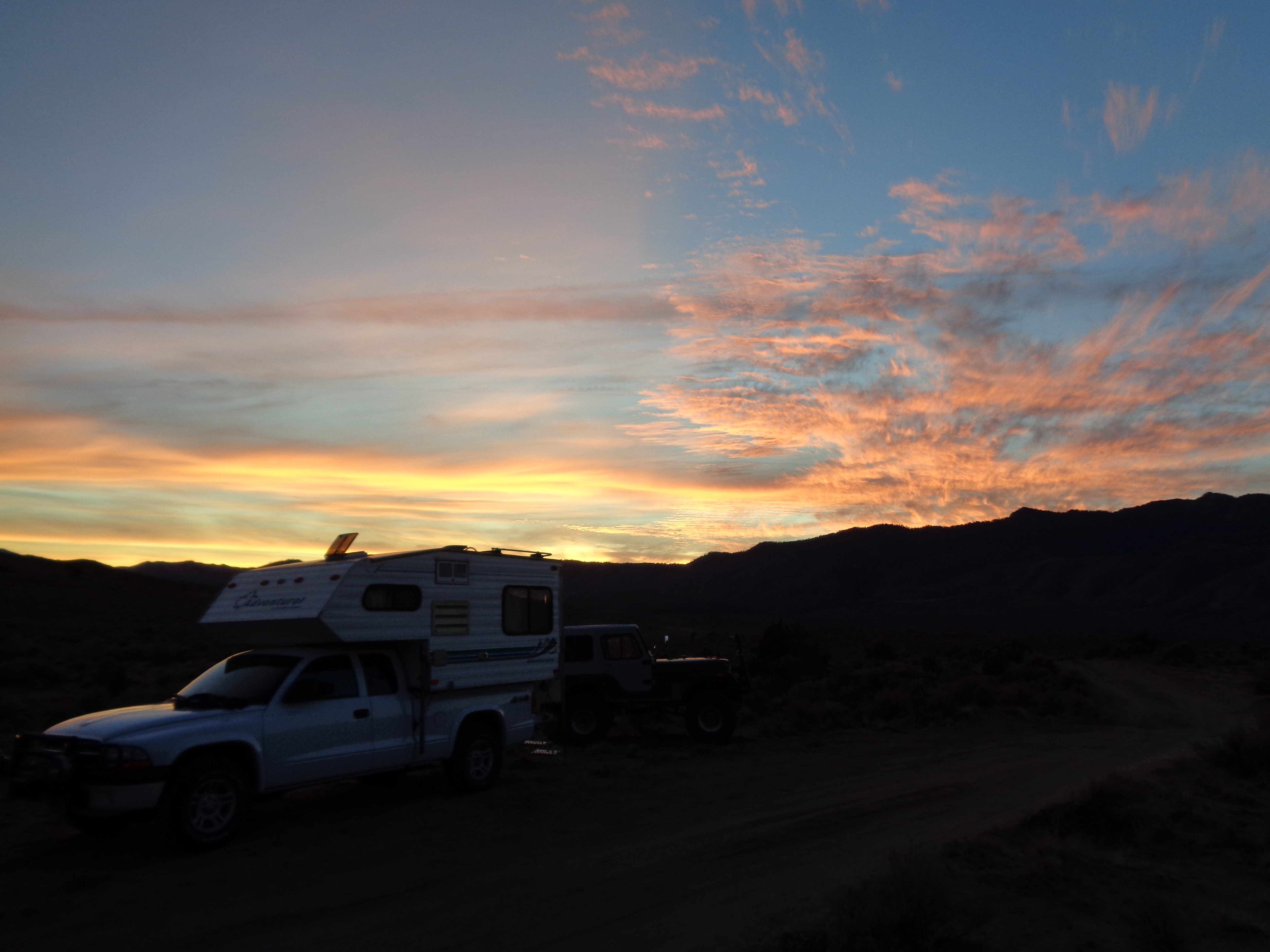
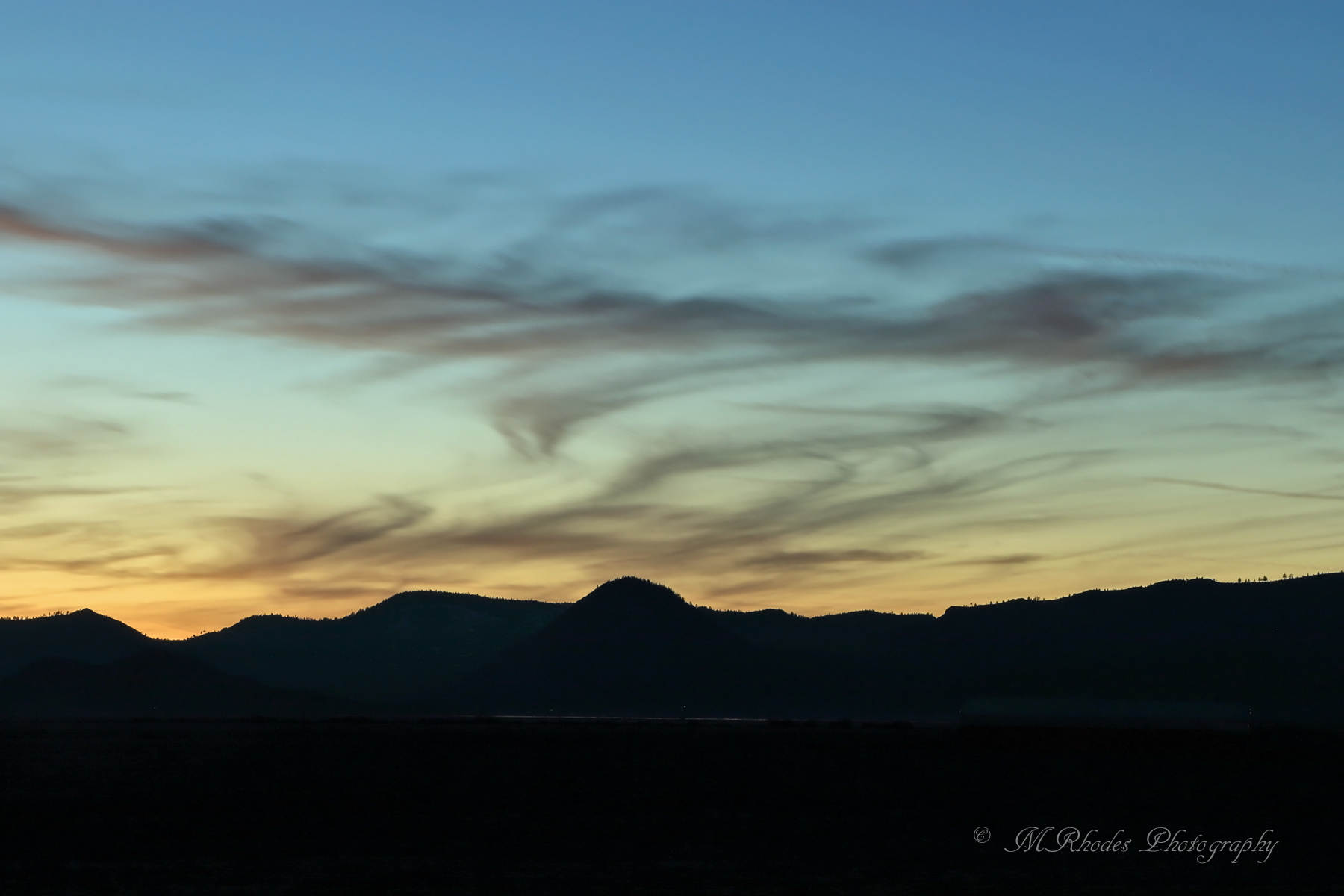
Peterson Mountain Sunset
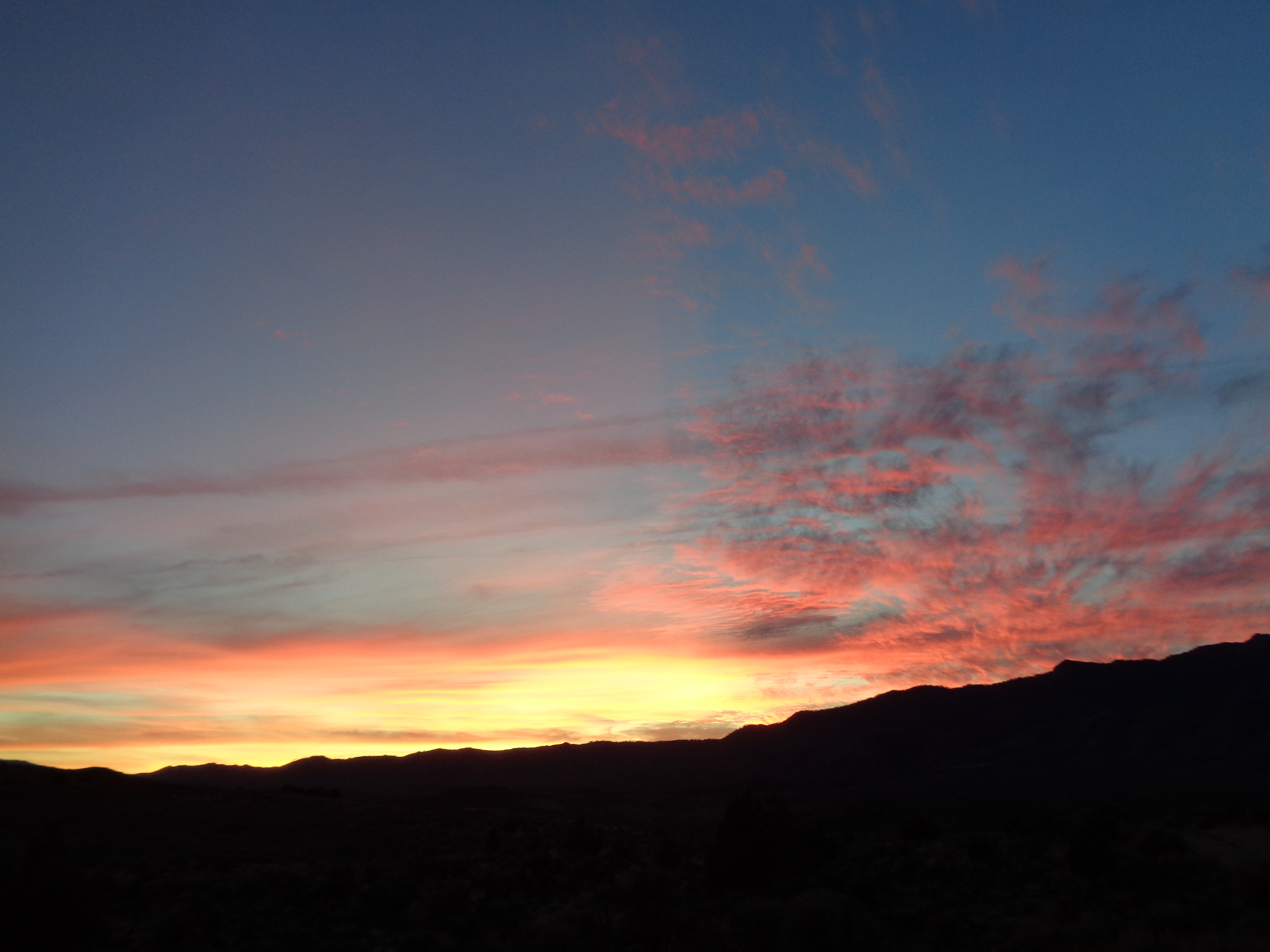
Peterson Mountain Sunset
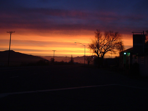
Vinton Sunrise
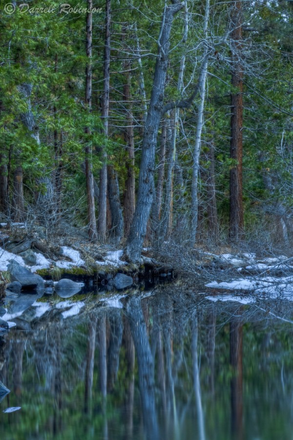
Reflections in Little Last Chance Creek

RedRockPeak_20081130-113738

PetersonMtns-20021129-092412

VIKING CARVINGS

Searchlight Signals at Chilcoot

Somewhere on highway 395 near the California-Nevada border, there’s a tree covered in shoes. With a fine for littering of up to $1,000 per incident, this tree could be worth about $200,000 to the State of California, if they could only find the culprits

Oh Deer

Flash sheet, 2016.

Juniper Titmouse

167/366 Shoe tree near Hallelujah Junction

UP 25450 on EB Beckwouth Pass, Reno Junction, CA Nov 21 1985
Dancing clouds

39/366 Hawk

February 7, 2016
February 7, 2016

February 7, 2016
Just outside of #Reno. #roadtrip #Enlight #landscape

Lonely Highway.

Hallelujah Junction
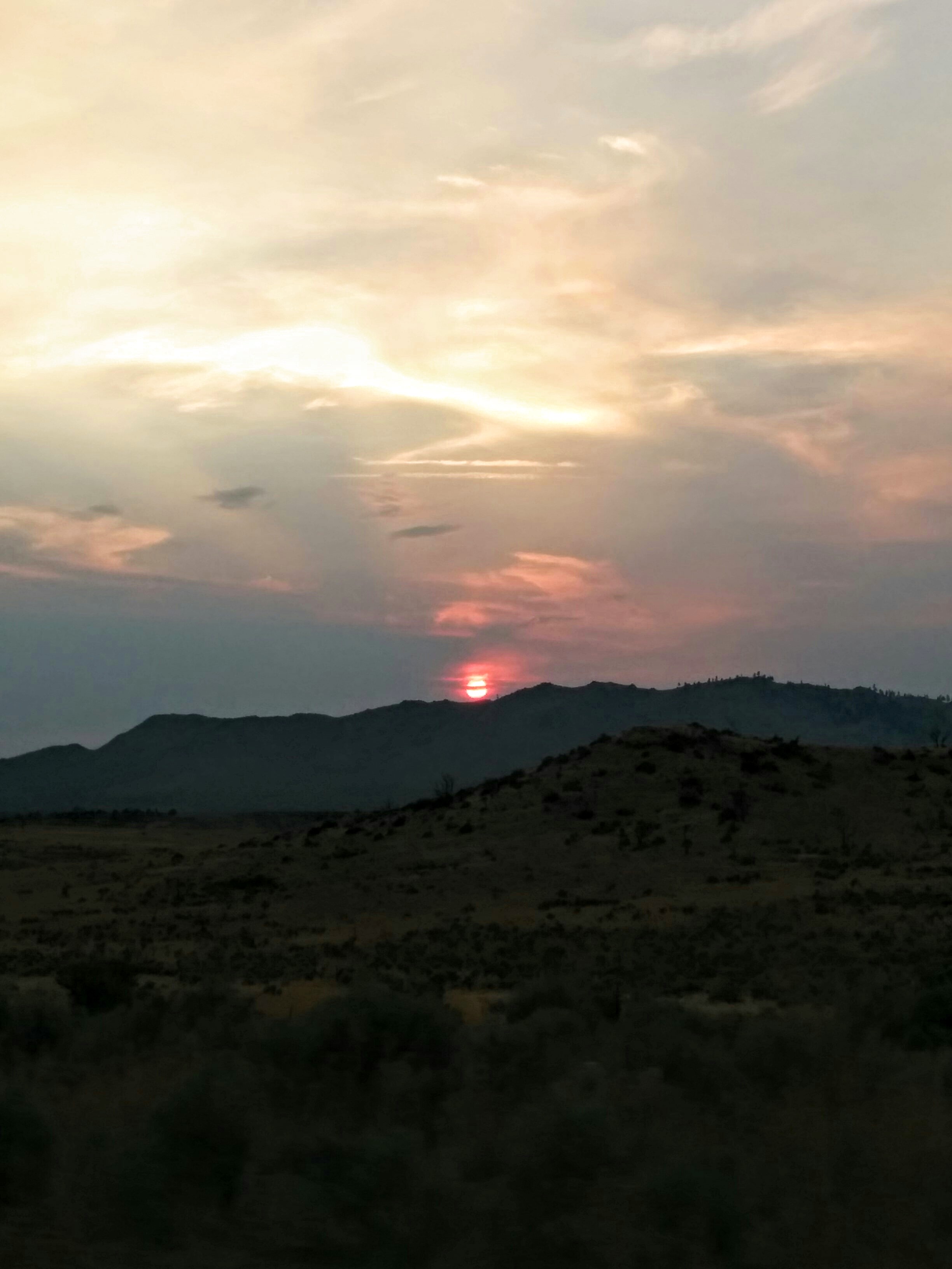
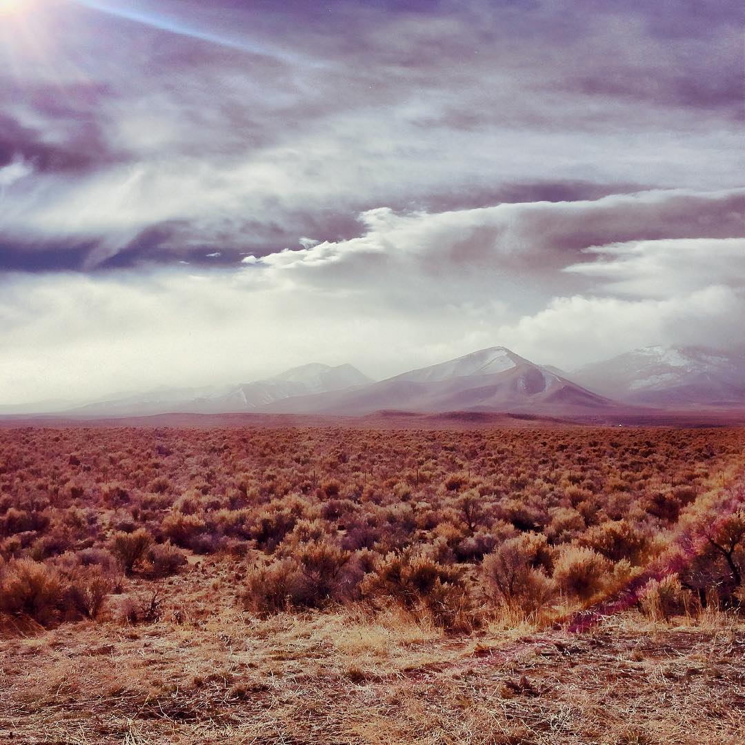
Sun setting in northern CA

Geocaching "Missed Your Exit" near Doyle, California

somewhere on the 395
Summertime 2015

Astragalus pulsiferae (the prostrate herb)
CA-70, Chilcoot, CA アメリカ合衆国の地図
別の場所を検索
近所の場所
アメリカ合衆国 〒 カリフォルニア州 チルクート=ビントン ベックワウス・パス
アメリカ合衆国 カリフォルニア州 チルクート=ビントン
アメリカ合衆国 〒 カリフォルニア州 チルクート=ビントン チルクート
アメリカ合衆国 〒 カリフォルニア州 チルクート=ビントン ビントン
アメリカ合衆国 〒 カリフォルニア州 アダムズ・ピーク
アメリカ合衆国 〒 ネバダ州 ピーターソン山
Appaloosa Cir, Reno, NV アメリカ合衆国
Davenport Ln, Reno, NV アメリカ合衆国
Lake Hills Ct, Reno, NV アメリカ合衆国
Mountain Ash Court, Reno, NV アメリカ合衆国
Dustin Ct, Reno, NV アメリカ合衆国
Fetlock Dr, Reno, NV アメリカ合衆国
アメリカ合衆国 〒 ネバダ州 コールド・スプリングス
Goldfinch Dr, Reno, NV アメリカ合衆国
Outpost Ct, Reno, NV アメリカ合衆国
Outpost Ct, Reno, NV アメリカ合衆国
アメリカ合衆国 〒 カリフォルニア州 ローヤルトン
Maddalena Rd, Beckwourth, CA アメリカ合衆国
Datewood Ct, Reno, NV アメリカ合衆国
Front St, Loyalton, CA アメリカ合衆国
最近の検索
- アメリカ合衆国 アラスカ州 レッド・ドッグ・マイン日の出日の入り時間
- Am bhf, Borken, ドイツアム・バーンホーフ日の出日の入り時間
- 4th St E, Sonoma, CA, USA日の出日の入り時間
- Oakland Ave, Williamsport, PA アメリカ合衆国日の出日の入り時間
- Via Roma, Pieranica CR, イタリアローマ通り日の出日の入り時間
- クロアチア 〒 ドゥブロブニク GradClock Tower of Dubrovnik日の出日の入り時間
- アルゼンチン チュブ州 トレリュー日の出日の入り時間
- Hartfords Bluff Cir, Mt Pleasant, SC アメリカ合衆国日の出日の入り時間
- 日本、熊本県熊本市北区日の出日の入り時間
- 中華人民共和国 福州市 平潭県 平潭島日の出日の入り時間