CA-46, Lost Hills, CA アメリカ合衆国日の出日の入り時間
Location: アメリカ合衆国 > カリフォルニア州 > カーン > アメリカ合衆国 カリフォルニア州 ロスト・ヒルズ >
時間帯:
America/Los_Angeles
現地時間:
2025-06-24 06:45:08
経度:
-120.082616
緯度:
35.672633
今日の日の出時刻:
05:45:50 AM
今日の日の入時刻:
08:20:05 PM
今日の日長:
14h 34m 15s
明日の日の出時刻:
05:46:09 AM
明日の日の入時刻:
08:20:11 PM
明日の日長:
14h 34m 2s
すべて表示する
| 日付 | 日出 | 日没 | 日長 |
|---|---|---|---|
| 2025年01月01日 | 07:10:12 AM | 04:58:54 PM | 9h 48m 42s |
| 2025年01月02日 | 07:10:19 AM | 04:59:43 PM | 9h 49m 24s |
| 2025年01月03日 | 07:10:23 AM | 05:00:32 PM | 9h 50m 9s |
| 2025年01月04日 | 07:10:26 AM | 05:01:23 PM | 9h 50m 57s |
| 2025年01月05日 | 07:10:27 AM | 05:02:14 PM | 9h 51m 47s |
| 2025年01月06日 | 07:10:26 AM | 05:03:07 PM | 9h 52m 41s |
| 2025年01月07日 | 07:10:23 AM | 05:04:00 PM | 9h 53m 37s |
| 2025年01月08日 | 07:10:19 AM | 05:04:54 PM | 9h 54m 35s |
| 2025年01月09日 | 07:10:12 AM | 05:05:50 PM | 9h 55m 38s |
| 2025年01月10日 | 07:10:03 AM | 05:06:46 PM | 9h 56m 43s |
| 2025年01月11日 | 07:09:52 AM | 05:07:42 PM | 9h 57m 50s |
| 2025年01月12日 | 07:09:40 AM | 05:08:40 PM | 9h 59m 0s |
| 2025年01月13日 | 07:09:25 AM | 05:09:38 PM | 10h 0m 13s |
| 2025年01月14日 | 07:09:09 AM | 05:10:36 PM | 10h 1m 27s |
| 2025年01月15日 | 07:08:50 AM | 05:11:36 PM | 10h 2m 46s |
| 2025年01月16日 | 07:08:30 AM | 05:12:35 PM | 10h 4m 5s |
| 2025年01月17日 | 07:08:08 AM | 05:13:35 PM | 10h 5m 27s |
| 2025年01月18日 | 07:07:43 AM | 05:14:36 PM | 10h 6m 53s |
| 2025年01月19日 | 07:07:17 AM | 05:15:37 PM | 10h 8m 20s |
| 2025年01月20日 | 07:06:50 AM | 05:16:38 PM | 10h 9m 48s |
| 2025年01月21日 | 07:06:20 AM | 05:17:40 PM | 10h 11m 20s |
| 2025年01月22日 | 07:05:49 AM | 05:18:42 PM | 10h 12m 53s |
| 2025年01月23日 | 07:05:15 AM | 05:19:44 PM | 10h 14m 29s |
| 2025年01月24日 | 07:04:41 AM | 05:20:46 PM | 10h 16m 5s |
| 2025年01月25日 | 07:04:04 AM | 05:21:48 PM | 10h 17m 44s |
| 2025年01月26日 | 07:03:25 AM | 05:22:50 PM | 10h 19m 25s |
| 2025年01月27日 | 07:02:45 AM | 05:23:53 PM | 10h 21m 8s |
| 2025年01月28日 | 07:02:04 AM | 05:24:56 PM | 10h 22m 52s |
| 2025年01月29日 | 07:01:20 AM | 05:25:58 PM | 10h 24m 38s |
| 2025年01月30日 | 07:00:35 AM | 05:27:01 PM | 10h 26m 26s |
| 2025年01月31日 | 06:59:49 AM | 05:28:03 PM | 10h 28m 14s |
| 2025年02月01日 | 06:59:01 AM | 05:29:05 PM | 10h 30m 4s |
| 2025年02月02日 | 06:58:11 AM | 05:30:08 PM | 10h 31m 57s |
| 2025年02月03日 | 06:57:20 AM | 05:31:10 PM | 10h 33m 50s |
| 2025年02月04日 | 06:56:27 AM | 05:32:12 PM | 10h 35m 45s |
| 2025年02月05日 | 06:55:33 AM | 05:33:14 PM | 10h 37m 41s |
| 2025年02月06日 | 06:54:38 AM | 05:34:15 PM | 10h 39m 37s |
| 2025年02月07日 | 06:53:41 AM | 05:35:17 PM | 10h 41m 36s |
| 2025年02月08日 | 06:52:43 AM | 05:36:18 PM | 10h 43m 35s |
| 2025年02月09日 | 06:51:43 AM | 05:37:19 PM | 10h 45m 36s |
| 2025年02月10日 | 06:50:43 AM | 05:38:19 PM | 10h 47m 36s |
| 2025年02月11日 | 06:49:41 AM | 05:39:20 PM | 10h 49m 39s |
| 2025年02月12日 | 06:48:38 AM | 05:40:20 PM | 10h 51m 42s |
| 2025年02月13日 | 06:47:33 AM | 05:41:20 PM | 10h 53m 47s |
| 2025年02月14日 | 06:46:28 AM | 05:42:19 PM | 10h 55m 51s |
| 2025年02月15日 | 06:45:21 AM | 05:43:18 PM | 10h 57m 57s |
| 2025年02月16日 | 06:44:13 AM | 05:44:17 PM | 11h 0m 4s |
| 2025年02月17日 | 06:43:04 AM | 05:45:16 PM | 11h 2m 12s |
| 2025年02月18日 | 06:41:55 AM | 05:46:14 PM | 11h 4m 19s |
| 2025年02月19日 | 06:40:44 AM | 05:47:12 PM | 11h 6m 28s |
| 2025年02月20日 | 06:39:32 AM | 05:48:10 PM | 11h 8m 38s |
| 2025年02月21日 | 06:38:19 AM | 05:49:07 PM | 11h 10m 48s |
| 2025年02月22日 | 06:37:06 AM | 05:50:04 PM | 11h 12m 58s |
| 2025年02月23日 | 06:35:51 AM | 05:51:01 PM | 11h 15m 10s |
| 2025年02月24日 | 06:34:36 AM | 05:51:57 PM | 11h 17m 21s |
| 2025年02月25日 | 06:33:20 AM | 05:52:53 PM | 11h 19m 33s |
| 2025年02月26日 | 06:32:03 AM | 05:53:48 PM | 11h 21m 45s |
| 2025年02月27日 | 06:30:46 AM | 05:54:44 PM | 11h 23m 58s |
| 2025年02月28日 | 06:29:27 AM | 05:55:39 PM | 11h 26m 12s |
| 2025年03月01日 | 06:28:08 AM | 05:56:33 PM | 11h 28m 25s |
| 2025年03月02日 | 06:26:49 AM | 05:57:28 PM | 11h 30m 39s |
| 2025年03月03日 | 06:25:29 AM | 05:58:22 PM | 11h 32m 53s |
| 2025年03月04日 | 06:24:08 AM | 05:59:15 PM | 11h 35m 7s |
| 2025年03月05日 | 06:22:46 AM | 06:00:09 PM | 11h 37m 23s |
| 2025年03月06日 | 06:21:25 AM | 06:01:02 PM | 11h 39m 37s |
| 2025年03月07日 | 06:20:02 AM | 06:01:55 PM | 11h 41m 53s |
| 2025年03月08日 | 06:18:39 AM | 06:02:47 PM | 11h 44m 8s |
| 2025年03月09日 | 07:17:20 AM | 07:03:38 PM | 11h 46m 18s |
| 2025年03月10日 | 07:15:56 AM | 07:04:30 PM | 11h 48m 34s |
| 2025年03月11日 | 07:14:32 AM | 07:05:22 PM | 11h 50m 50s |
| 2025年03月12日 | 07:13:08 AM | 07:06:13 PM | 11h 53m 5s |
| 2025年03月13日 | 07:11:43 AM | 07:07:05 PM | 11h 55m 22s |
| 2025年03月14日 | 07:10:18 AM | 07:07:56 PM | 11h 57m 38s |
| 2025年03月15日 | 07:08:53 AM | 07:08:47 PM | 11h 59m 54s |
| 2025年03月16日 | 07:07:28 AM | 07:09:38 PM | 12h 2m 10s |
| 2025年03月17日 | 07:06:02 AM | 07:10:29 PM | 12h 4m 27s |
| 2025年03月18日 | 07:04:37 AM | 07:11:19 PM | 12h 6m 42s |
| 2025年03月19日 | 07:03:11 AM | 07:12:09 PM | 12h 8m 58s |
| 2025年03月20日 | 07:01:45 AM | 07:13:00 PM | 12h 11m 15s |
| 2025年03月21日 | 07:00:19 AM | 07:13:50 PM | 12h 13m 31s |
| 2025年03月22日 | 06:58:53 AM | 07:14:40 PM | 12h 15m 47s |
| 2025年03月23日 | 06:57:27 AM | 07:15:30 PM | 12h 18m 3s |
| 2025年03月24日 | 06:56:01 AM | 07:16:19 PM | 12h 20m 18s |
| 2025年03月25日 | 06:54:35 AM | 07:17:09 PM | 12h 22m 34s |
| 2025年03月26日 | 06:53:09 AM | 07:17:59 PM | 12h 24m 50s |
| 2025年03月27日 | 06:51:44 AM | 07:18:48 PM | 12h 27m 4s |
| 2025年03月28日 | 06:50:18 AM | 07:19:38 PM | 12h 29m 20s |
| 2025年03月29日 | 06:48:53 AM | 07:20:27 PM | 12h 31m 34s |
| 2025年03月30日 | 06:47:27 AM | 07:21:17 PM | 12h 33m 50s |
| 2025年03月31日 | 06:46:02 AM | 07:22:06 PM | 12h 36m 4s |
| 2025年04月01日 | 06:44:38 AM | 07:22:55 PM | 12h 38m 17s |
| 2025年04月02日 | 06:43:13 AM | 07:23:45 PM | 12h 40m 32s |
| 2025年04月03日 | 06:41:49 AM | 07:24:34 PM | 12h 42m 45s |
| 2025年04月04日 | 06:40:25 AM | 07:25:24 PM | 12h 44m 59s |
| 2025年04月05日 | 06:39:02 AM | 07:26:13 PM | 12h 47m 11s |
| 2025年04月06日 | 06:37:39 AM | 07:27:02 PM | 12h 49m 23s |
| 2025年04月07日 | 06:36:16 AM | 07:27:52 PM | 12h 51m 36s |
| 2025年04月08日 | 06:34:54 AM | 07:28:41 PM | 12h 53m 47s |
| 2025年04月09日 | 06:33:33 AM | 07:29:31 PM | 12h 55m 58s |
| 2025年04月10日 | 06:32:12 AM | 07:30:21 PM | 12h 58m 9s |
| 2025年04月11日 | 06:30:51 AM | 07:31:10 PM | 13h 0m 19s |
| 2025年04月12日 | 06:29:31 AM | 07:32:00 PM | 13h 2m 29s |
| 2025年04月13日 | 06:28:12 AM | 07:32:50 PM | 13h 4m 38s |
| 2025年04月14日 | 06:26:53 AM | 07:33:39 PM | 13h 6m 46s |
| 2025年04月15日 | 06:25:35 AM | 07:34:29 PM | 13h 8m 54s |
| 2025年04月16日 | 06:24:17 AM | 07:35:19 PM | 13h 11m 2s |
| 2025年04月17日 | 06:23:01 AM | 07:36:09 PM | 13h 13m 8s |
| 2025年04月18日 | 06:21:45 AM | 07:36:59 PM | 13h 15m 14s |
| 2025年04月19日 | 06:20:30 AM | 07:37:49 PM | 13h 17m 19s |
| 2025年04月20日 | 06:19:16 AM | 07:38:39 PM | 13h 19m 23s |
| 2025年04月21日 | 06:18:02 AM | 07:39:30 PM | 13h 21m 28s |
| 2025年04月22日 | 06:16:50 AM | 07:40:20 PM | 13h 23m 30s |
| 2025年04月23日 | 06:15:38 AM | 07:41:10 PM | 13h 25m 32s |
| 2025年04月24日 | 06:14:27 AM | 07:42:00 PM | 13h 27m 33s |
| 2025年04月25日 | 06:13:17 AM | 07:42:51 PM | 13h 29m 34s |
| 2025年04月26日 | 06:12:08 AM | 07:43:41 PM | 13h 31m 33s |
| 2025年04月27日 | 06:11:01 AM | 07:44:31 PM | 13h 33m 30s |
| 2025年04月28日 | 06:09:54 AM | 07:45:22 PM | 13h 35m 28s |
| 2025年04月29日 | 06:08:48 AM | 07:46:12 PM | 13h 37m 24s |
| 2025年04月30日 | 06:07:44 AM | 07:47:02 PM | 13h 39m 18s |
| 2025年05月01日 | 06:06:40 AM | 07:47:53 PM | 13h 41m 13s |
| 2025年05月02日 | 06:05:38 AM | 07:48:43 PM | 13h 43m 5s |
| 2025年05月03日 | 06:04:36 AM | 07:49:33 PM | 13h 44m 57s |
| 2025年05月04日 | 06:03:37 AM | 07:50:23 PM | 13h 46m 46s |
| 2025年05月05日 | 06:02:38 AM | 07:51:13 PM | 13h 48m 35s |
| 2025年05月06日 | 06:01:40 AM | 07:52:03 PM | 13h 50m 23s |
| 2025年05月07日 | 06:00:44 AM | 07:52:53 PM | 13h 52m 9s |
| 2025年05月08日 | 05:59:49 AM | 07:53:42 PM | 13h 53m 53s |
| 2025年05月09日 | 05:58:56 AM | 07:54:32 PM | 13h 55m 36s |
| 2025年05月10日 | 05:58:03 AM | 07:55:21 PM | 13h 57m 18s |
| 2025年05月11日 | 05:57:13 AM | 07:56:10 PM | 13h 58m 57s |
| 2025年05月12日 | 05:56:23 AM | 07:56:58 PM | 14h 0m 35s |
| 2025年05月13日 | 05:55:35 AM | 07:57:47 PM | 14h 2m 12s |
| 2025年05月14日 | 05:54:49 AM | 07:58:35 PM | 14h 3m 46s |
| 2025年05月15日 | 05:54:03 AM | 07:59:22 PM | 14h 5m 19s |
| 2025年05月16日 | 05:53:20 AM | 08:00:10 PM | 14h 6m 50s |
| 2025年05月17日 | 05:52:38 AM | 08:00:57 PM | 14h 8m 19s |
| 2025年05月18日 | 05:51:57 AM | 08:01:43 PM | 14h 9m 46s |
| 2025年05月19日 | 05:51:18 AM | 08:02:29 PM | 14h 11m 11s |
| 2025年05月20日 | 05:50:41 AM | 08:03:15 PM | 14h 12m 34s |
| 2025年05月21日 | 05:50:05 AM | 08:04:00 PM | 14h 13m 55s |
| 2025年05月22日 | 05:49:30 AM | 08:04:44 PM | 14h 15m 14s |
| 2025年05月23日 | 05:48:58 AM | 08:05:28 PM | 14h 16m 30s |
| 2025年05月24日 | 05:48:27 AM | 08:06:11 PM | 14h 17m 44s |
| 2025年05月25日 | 05:47:57 AM | 08:06:54 PM | 14h 18m 57s |
| 2025年05月26日 | 05:47:29 AM | 08:07:36 PM | 14h 20m 7s |
| 2025年05月27日 | 05:47:03 AM | 08:08:17 PM | 14h 21m 14s |
| 2025年05月28日 | 05:46:39 AM | 08:08:58 PM | 14h 22m 19s |
| 2025年05月29日 | 05:46:16 AM | 08:09:37 PM | 14h 23m 21s |
| 2025年05月30日 | 05:45:55 AM | 08:10:16 PM | 14h 24m 21s |
| 2025年05月31日 | 05:45:35 AM | 08:10:54 PM | 14h 25m 19s |
| 2025年06月01日 | 05:45:18 AM | 08:11:31 PM | 14h 26m 13s |
| 2025年06月02日 | 05:45:02 AM | 08:12:07 PM | 14h 27m 5s |
| 2025年06月03日 | 05:44:47 AM | 08:12:42 PM | 14h 27m 55s |
| 2025年06月04日 | 05:44:34 AM | 08:13:16 PM | 14h 28m 42s |
| 2025年06月05日 | 05:44:23 AM | 08:13:49 PM | 14h 29m 26s |
| 2025年06月06日 | 05:44:14 AM | 08:14:21 PM | 14h 30m 7s |
| 2025年06月07日 | 05:44:06 AM | 08:14:51 PM | 14h 30m 45s |
| 2025年06月08日 | 05:44:01 AM | 08:15:21 PM | 14h 31m 20s |
| 2025年06月09日 | 05:43:56 AM | 08:15:49 PM | 14h 31m 53s |
| 2025年06月10日 | 05:43:54 AM | 08:16:16 PM | 14h 32m 22s |
| 2025年06月11日 | 05:43:53 AM | 08:16:42 PM | 14h 32m 49s |
| 2025年06月12日 | 05:43:53 AM | 08:17:07 PM | 14h 33m 14s |
| 2025年06月13日 | 05:43:55 AM | 08:17:30 PM | 14h 33m 35s |
| 2025年06月14日 | 05:43:59 AM | 08:17:52 PM | 14h 33m 53s |
| 2025年06月15日 | 05:44:05 AM | 08:18:12 PM | 14h 34m 7s |
| 2025年06月16日 | 05:44:12 AM | 08:18:31 PM | 14h 34m 19s |
| 2025年06月17日 | 05:44:20 AM | 08:18:49 PM | 14h 34m 29s |
| 2025年06月18日 | 05:44:30 AM | 08:19:05 PM | 14h 34m 35s |
| 2025年06月19日 | 05:44:42 AM | 08:19:19 PM | 14h 34m 37s |
| 2025年06月20日 | 05:44:55 AM | 08:19:32 PM | 14h 34m 37s |
| 2025年06月21日 | 05:45:10 AM | 08:19:44 PM | 14h 34m 34s |
| 2025年06月22日 | 05:45:26 AM | 08:19:54 PM | 14h 34m 28s |
| 2025年06月23日 | 05:45:43 AM | 08:20:02 PM | 14h 34m 19s |
| 2025年06月24日 | 05:46:02 AM | 08:20:09 PM | 14h 34m 7s |
| 2025年06月25日 | 05:46:22 AM | 08:20:14 PM | 14h 33m 52s |
| 2025年06月26日 | 05:46:44 AM | 08:20:17 PM | 14h 33m 33s |
| 2025年06月27日 | 05:47:06 AM | 08:20:19 PM | 14h 33m 13s |
| 2025年06月28日 | 05:47:30 AM | 08:20:19 PM | 14h 32m 49s |
| 2025年06月29日 | 05:47:56 AM | 08:20:17 PM | 14h 32m 21s |
| 2025年06月30日 | 05:48:22 AM | 08:20:14 PM | 14h 31m 52s |
| 2025年07月01日 | 05:48:50 AM | 08:20:09 PM | 14h 31m 19s |
| 2025年07月02日 | 05:49:18 AM | 08:20:02 PM | 14h 30m 44s |
| 2025年07月03日 | 05:49:48 AM | 08:19:54 PM | 14h 30m 6s |
| 2025年07月04日 | 05:50:19 AM | 08:19:43 PM | 14h 29m 24s |
| 2025年07月05日 | 05:50:51 AM | 08:19:32 PM | 14h 28m 41s |
| 2025年07月06日 | 05:51:24 AM | 08:19:18 PM | 14h 27m 54s |
| 2025年07月07日 | 05:51:58 AM | 08:19:03 PM | 14h 27m 5s |
| 2025年07月08日 | 05:52:33 AM | 08:18:45 PM | 14h 26m 12s |
| 2025年07月09日 | 05:53:08 AM | 08:18:27 PM | 14h 25m 19s |
| 2025年07月10日 | 05:53:45 AM | 08:18:06 PM | 14h 24m 21s |
| 2025年07月11日 | 05:54:22 AM | 08:17:44 PM | 14h 23m 22s |
| 2025年07月12日 | 05:55:00 AM | 08:17:20 PM | 14h 22m 20s |
| 2025年07月13日 | 05:55:39 AM | 08:16:54 PM | 14h 21m 15s |
| 2025年07月14日 | 05:56:18 AM | 08:16:27 PM | 14h 20m 9s |
| 2025年07月15日 | 05:56:59 AM | 08:15:58 PM | 14h 18m 59s |
| 2025年07月16日 | 05:57:39 AM | 08:15:27 PM | 14h 17m 48s |
| 2025年07月17日 | 05:58:21 AM | 08:14:54 PM | 14h 16m 33s |
| 2025年07月18日 | 05:59:03 AM | 08:14:20 PM | 14h 15m 17s |
| 2025年07月19日 | 05:59:45 AM | 08:13:45 PM | 14h 14m 0s |
| 2025年07月20日 | 06:00:28 AM | 08:13:07 PM | 14h 12m 39s |
| 2025年07月21日 | 06:01:11 AM | 08:12:29 PM | 14h 11m 18s |
| 2025年07月22日 | 06:01:55 AM | 08:11:48 PM | 14h 9m 53s |
| 2025年07月23日 | 06:02:39 AM | 08:11:06 PM | 14h 8m 27s |
| 2025年07月24日 | 06:03:24 AM | 08:10:22 PM | 14h 6m 58s |
| 2025年07月25日 | 06:04:09 AM | 08:09:37 PM | 14h 5m 28s |
| 2025年07月26日 | 06:04:54 AM | 08:08:51 PM | 14h 3m 57s |
| 2025年07月27日 | 06:05:39 AM | 08:08:03 PM | 14h 2m 24s |
| 2025年07月28日 | 06:06:25 AM | 08:07:13 PM | 14h 0m 48s |
| 2025年07月29日 | 06:07:11 AM | 08:06:22 PM | 13h 59m 11s |
| 2025年07月30日 | 06:07:57 AM | 08:05:30 PM | 13h 57m 33s |
| 2025年07月31日 | 06:08:43 AM | 08:04:36 PM | 13h 55m 53s |
| 2025年08月01日 | 06:09:30 AM | 08:03:41 PM | 13h 54m 11s |
| 2025年08月02日 | 06:10:16 AM | 08:02:44 PM | 13h 52m 28s |
| 2025年08月03日 | 06:11:03 AM | 08:01:46 PM | 13h 50m 43s |
| 2025年08月04日 | 06:11:50 AM | 08:00:47 PM | 13h 48m 57s |
| 2025年08月05日 | 06:12:37 AM | 07:59:47 PM | 13h 47m 10s |
| 2025年08月06日 | 06:13:24 AM | 07:58:45 PM | 13h 45m 21s |
| 2025年08月07日 | 06:14:11 AM | 07:57:42 PM | 13h 43m 31s |
| 2025年08月08日 | 06:14:57 AM | 07:56:38 PM | 13h 41m 41s |
| 2025年08月09日 | 06:15:44 AM | 07:55:33 PM | 13h 39m 49s |
| 2025年08月10日 | 06:16:31 AM | 07:54:27 PM | 13h 37m 56s |
| 2025年08月11日 | 06:17:18 AM | 07:53:19 PM | 13h 36m 1s |
| 2025年08月12日 | 06:18:05 AM | 07:52:11 PM | 13h 34m 6s |
| 2025年08月13日 | 06:18:52 AM | 07:51:01 PM | 13h 32m 9s |
| 2025年08月14日 | 06:19:39 AM | 07:49:51 PM | 13h 30m 12s |
| 2025年08月15日 | 06:20:26 AM | 07:48:39 PM | 13h 28m 13s |
| 2025年08月16日 | 06:21:12 AM | 07:47:27 PM | 13h 26m 15s |
| 2025年08月17日 | 06:21:59 AM | 07:46:13 PM | 13h 24m 14s |
| 2025年08月18日 | 06:22:46 AM | 07:44:59 PM | 13h 22m 13s |
| 2025年08月19日 | 06:23:32 AM | 07:43:43 PM | 13h 20m 11s |
| 2025年08月20日 | 06:24:19 AM | 07:42:27 PM | 13h 18m 8s |
| 2025年08月21日 | 06:25:05 AM | 07:41:10 PM | 13h 16m 5s |
| 2025年08月22日 | 06:25:51 AM | 07:39:53 PM | 13h 14m 2s |
| 2025年08月23日 | 06:26:37 AM | 07:38:34 PM | 13h 11m 57s |
| 2025年08月24日 | 06:27:23 AM | 07:37:15 PM | 13h 9m 52s |
| 2025年08月25日 | 06:28:09 AM | 07:35:55 PM | 13h 7m 46s |
| 2025年08月26日 | 06:28:55 AM | 07:34:34 PM | 13h 5m 39s |
| 2025年08月27日 | 06:29:41 AM | 07:33:13 PM | 13h 3m 32s |
| 2025年08月28日 | 06:30:26 AM | 07:31:51 PM | 13h 1m 25s |
| 2025年08月29日 | 06:31:12 AM | 07:30:29 PM | 12h 59m 17s |
| 2025年08月30日 | 06:31:58 AM | 07:29:06 PM | 12h 57m 8s |
| 2025年08月31日 | 06:32:43 AM | 07:27:42 PM | 12h 54m 59s |
| 2025年09月01日 | 06:33:28 AM | 07:26:18 PM | 12h 52m 50s |
| 2025年09月02日 | 06:34:14 AM | 07:24:53 PM | 12h 50m 39s |
| 2025年09月03日 | 06:34:59 AM | 07:23:28 PM | 12h 48m 29s |
| 2025年09月04日 | 06:35:44 AM | 07:22:03 PM | 12h 46m 19s |
| 2025年09月05日 | 06:36:29 AM | 07:20:37 PM | 12h 44m 8s |
| 2025年09月06日 | 06:37:14 AM | 07:19:11 PM | 12h 41m 57s |
| 2025年09月07日 | 06:38:00 AM | 07:17:44 PM | 12h 39m 44s |
| 2025年09月08日 | 06:38:45 AM | 07:16:18 PM | 12h 37m 33s |
| 2025年09月09日 | 06:39:30 AM | 07:14:51 PM | 12h 35m 21s |
| 2025年09月10日 | 06:40:15 AM | 07:13:23 PM | 12h 33m 8s |
| 2025年09月11日 | 06:41:00 AM | 07:11:56 PM | 12h 30m 56s |
| 2025年09月12日 | 06:41:45 AM | 07:10:28 PM | 12h 28m 43s |
| 2025年09月13日 | 06:42:30 AM | 07:09:00 PM | 12h 26m 30s |
| 2025年09月14日 | 06:43:15 AM | 07:07:32 PM | 12h 24m 17s |
| 2025年09月15日 | 06:44:01 AM | 07:06:04 PM | 12h 22m 3s |
| 2025年09月16日 | 06:44:46 AM | 07:04:36 PM | 12h 19m 50s |
| 2025年09月17日 | 06:45:31 AM | 07:03:07 PM | 12h 17m 36s |
| 2025年09月18日 | 06:46:17 AM | 07:01:39 PM | 12h 15m 22s |
| 2025年09月19日 | 06:47:03 AM | 07:00:11 PM | 12h 13m 8s |
| 2025年09月20日 | 06:47:48 AM | 06:58:42 PM | 12h 10m 54s |
| 2025年09月21日 | 06:48:34 AM | 06:57:14 PM | 12h 8m 40s |
| 2025年09月22日 | 06:49:20 AM | 06:55:46 PM | 12h 6m 26s |
| 2025年09月23日 | 06:50:06 AM | 06:54:18 PM | 12h 4m 12s |
| 2025年09月24日 | 06:50:53 AM | 06:52:50 PM | 12h 1m 57s |
| 2025年09月25日 | 06:51:39 AM | 06:51:23 PM | 11h 59m 44s |
| 2025年09月26日 | 06:52:26 AM | 06:49:55 PM | 11h 57m 29s |
| 2025年09月27日 | 06:53:13 AM | 06:48:28 PM | 11h 55m 15s |
| 2025年09月28日 | 06:54:00 AM | 06:47:01 PM | 11h 53m 1s |
| 2025年09月29日 | 06:54:47 AM | 06:45:35 PM | 11h 50m 48s |
| 2025年09月30日 | 06:55:34 AM | 06:44:08 PM | 11h 48m 34s |
| 2025年10月01日 | 06:56:22 AM | 06:42:42 PM | 11h 46m 20s |
| 2025年10月02日 | 06:57:10 AM | 06:41:17 PM | 11h 44m 7s |
| 2025年10月03日 | 06:57:58 AM | 06:39:52 PM | 11h 41m 54s |
| 2025年10月04日 | 06:58:47 AM | 06:38:27 PM | 11h 39m 40s |
| 2025年10月05日 | 06:59:36 AM | 06:37:03 PM | 11h 37m 27s |
| 2025年10月06日 | 07:00:25 AM | 06:35:39 PM | 11h 35m 14s |
| 2025年10月07日 | 07:01:14 AM | 06:34:16 PM | 11h 33m 2s |
| 2025年10月08日 | 07:02:04 AM | 06:32:54 PM | 11h 30m 50s |
| 2025年10月09日 | 07:02:54 AM | 06:31:32 PM | 11h 28m 38s |
| 2025年10月10日 | 07:03:45 AM | 06:30:10 PM | 11h 26m 25s |
| 2025年10月11日 | 07:04:35 AM | 06:28:50 PM | 11h 24m 15s |
| 2025年10月12日 | 07:05:26 AM | 06:27:30 PM | 11h 22m 4s |
| 2025年10月13日 | 07:06:18 AM | 06:26:11 PM | 11h 19m 53s |
| 2025年10月14日 | 07:07:09 AM | 06:24:52 PM | 11h 17m 43s |
| 2025年10月15日 | 07:08:01 AM | 06:23:34 PM | 11h 15m 33s |
| 2025年10月16日 | 07:08:54 AM | 06:22:17 PM | 11h 13m 23s |
| 2025年10月17日 | 07:09:47 AM | 06:21:01 PM | 11h 11m 14s |
| 2025年10月18日 | 07:10:40 AM | 06:19:46 PM | 11h 9m 6s |
| 2025年10月19日 | 07:11:33 AM | 06:18:32 PM | 11h 6m 59s |
| 2025年10月20日 | 07:12:27 AM | 06:17:19 PM | 11h 4m 52s |
| 2025年10月21日 | 07:13:22 AM | 06:16:07 PM | 11h 2m 45s |
| 2025年10月22日 | 07:14:16 AM | 06:14:55 PM | 11h 0m 39s |
| 2025年10月23日 | 07:15:11 AM | 06:13:45 PM | 10h 58m 34s |
| 2025年10月24日 | 07:16:06 AM | 06:12:36 PM | 10h 56m 30s |
| 2025年10月25日 | 07:17:02 AM | 06:11:28 PM | 10h 54m 26s |
| 2025年10月26日 | 07:17:58 AM | 06:10:21 PM | 10h 52m 23s |
| 2025年10月27日 | 07:18:54 AM | 06:09:15 PM | 10h 50m 21s |
| 2025年10月28日 | 07:19:51 AM | 06:08:11 PM | 10h 48m 20s |
| 2025年10月29日 | 07:20:48 AM | 06:07:07 PM | 10h 46m 19s |
| 2025年10月30日 | 07:21:45 AM | 06:06:05 PM | 10h 44m 20s |
| 2025年10月31日 | 07:22:43 AM | 06:05:04 PM | 10h 42m 21s |
| 2025年11月01日 | 07:23:41 AM | 06:04:05 PM | 10h 40m 24s |
| 2025年11月02日 | 06:24:41 AM | 05:03:05 PM | 10h 38m 24s |
| 2025年11月03日 | 06:25:40 AM | 05:02:08 PM | 10h 36m 28s |
| 2025年11月04日 | 06:26:38 AM | 05:01:13 PM | 10h 34m 35s |
| 2025年11月05日 | 06:27:37 AM | 05:00:19 PM | 10h 32m 42s |
| 2025年11月06日 | 06:28:36 AM | 04:59:27 PM | 10h 30m 51s |
| 2025年11月07日 | 06:29:35 AM | 04:58:36 PM | 10h 29m 1s |
| 2025年11月08日 | 06:30:34 AM | 04:57:47 PM | 10h 27m 13s |
| 2025年11月09日 | 06:31:34 AM | 04:56:59 PM | 10h 25m 25s |
| 2025年11月10日 | 06:32:33 AM | 04:56:13 PM | 10h 23m 40s |
| 2025年11月11日 | 06:33:33 AM | 04:55:29 PM | 10h 21m 56s |
| 2025年11月12日 | 06:34:33 AM | 04:54:46 PM | 10h 20m 13s |
| 2025年11月13日 | 06:35:32 AM | 04:54:05 PM | 10h 18m 33s |
| 2025年11月14日 | 06:36:32 AM | 04:53:26 PM | 10h 16m 54s |
| 2025年11月15日 | 06:37:32 AM | 04:52:48 PM | 10h 15m 16s |
| 2025年11月16日 | 06:38:31 AM | 04:52:12 PM | 10h 13m 41s |
| 2025年11月17日 | 06:39:30 AM | 04:51:38 PM | 10h 12m 8s |
| 2025年11月18日 | 06:40:30 AM | 04:51:06 PM | 10h 10m 36s |
| 2025年11月19日 | 06:41:29 AM | 04:50:36 PM | 10h 9m 7s |
| 2025年11月20日 | 06:42:27 AM | 04:50:07 PM | 10h 7m 40s |
| 2025年11月21日 | 06:43:26 AM | 04:49:40 PM | 10h 6m 14s |
| 2025年11月22日 | 06:44:24 AM | 04:49:15 PM | 10h 4m 51s |
| 2025年11月23日 | 06:45:22 AM | 04:48:52 PM | 10h 3m 30s |
| 2025年11月24日 | 06:46:19 AM | 04:48:31 PM | 10h 2m 12s |
| 2025年11月25日 | 06:47:16 AM | 04:48:12 PM | 10h 0m 56s |
| 2025年11月26日 | 06:48:13 AM | 04:47:55 PM | 9h 59m 42s |
| 2025年11月27日 | 06:49:09 AM | 04:47:40 PM | 9h 58m 31s |
| 2025年11月28日 | 06:50:04 AM | 04:47:27 PM | 9h 57m 23s |
| 2025年11月29日 | 06:50:59 AM | 04:47:16 PM | 9h 56m 17s |
| 2025年11月30日 | 06:51:53 AM | 04:47:06 PM | 9h 55m 13s |
| 2025年12月01日 | 06:52:47 AM | 04:46:59 PM | 9h 54m 12s |
| 2025年12月02日 | 06:53:39 AM | 04:46:54 PM | 9h 53m 15s |
| 2025年12月03日 | 06:54:31 AM | 04:46:51 PM | 9h 52m 20s |
| 2025年12月04日 | 06:55:22 AM | 04:46:49 PM | 9h 51m 27s |
| 2025年12月05日 | 06:56:12 AM | 04:46:50 PM | 9h 50m 38s |
| 2025年12月06日 | 06:57:01 AM | 04:46:53 PM | 9h 49m 52s |
| 2025年12月07日 | 06:57:49 AM | 04:46:58 PM | 9h 49m 9s |
| 2025年12月08日 | 06:58:36 AM | 04:47:04 PM | 9h 48m 28s |
| 2025年12月09日 | 06:59:21 AM | 04:47:13 PM | 9h 47m 52s |
| 2025年12月10日 | 07:00:06 AM | 04:47:23 PM | 9h 47m 17s |
| 2025年12月11日 | 07:00:49 AM | 04:47:36 PM | 9h 46m 47s |
| 2025年12月12日 | 07:01:32 AM | 04:47:50 PM | 9h 46m 18s |
| 2025年12月13日 | 07:02:12 AM | 04:48:07 PM | 9h 45m 55s |
| 2025年12月14日 | 07:02:52 AM | 04:48:25 PM | 9h 45m 33s |
| 2025年12月15日 | 07:03:30 AM | 04:48:45 PM | 9h 45m 15s |
| 2025年12月16日 | 07:04:07 AM | 04:49:07 PM | 9h 45m 0s |
| 2025年12月17日 | 07:04:42 AM | 04:49:31 PM | 9h 44m 49s |
| 2025年12月18日 | 07:05:16 AM | 04:49:57 PM | 9h 44m 41s |
| 2025年12月19日 | 07:05:48 AM | 04:50:24 PM | 9h 44m 36s |
| 2025年12月20日 | 07:06:18 AM | 04:50:53 PM | 9h 44m 35s |
| 2025年12月21日 | 07:06:47 AM | 04:51:24 PM | 9h 44m 37s |
| 2025年12月22日 | 07:07:15 AM | 04:51:56 PM | 9h 44m 41s |
| 2025年12月23日 | 07:07:40 AM | 04:52:30 PM | 9h 44m 50s |
| 2025年12月24日 | 07:08:04 AM | 04:53:06 PM | 9h 45m 2s |
| 2025年12月25日 | 07:08:26 AM | 04:53:43 PM | 9h 45m 17s |
| 2025年12月26日 | 07:08:46 AM | 04:54:22 PM | 9h 45m 36s |
| 2025年12月27日 | 07:09:05 AM | 04:55:02 PM | 9h 45m 57s |
| 2025年12月28日 | 07:09:22 AM | 04:55:43 PM | 9h 46m 21s |
| 2025年12月29日 | 07:09:36 AM | 04:56:26 PM | 9h 46m 50s |
| 2025年12月30日 | 07:09:49 AM | 04:57:10 PM | 9h 47m 21s |
| 2025年12月31日 | 07:10:00 AM | 04:57:56 PM | 9h 47m 56s |
写真

Pyramid Hills (1518)

Pyramid Hills (1517)
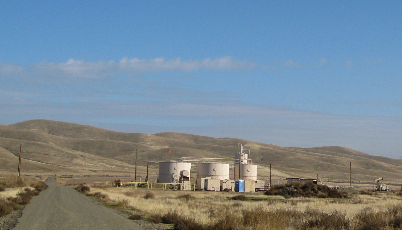
Pyramid Hills, CA oil (0689)
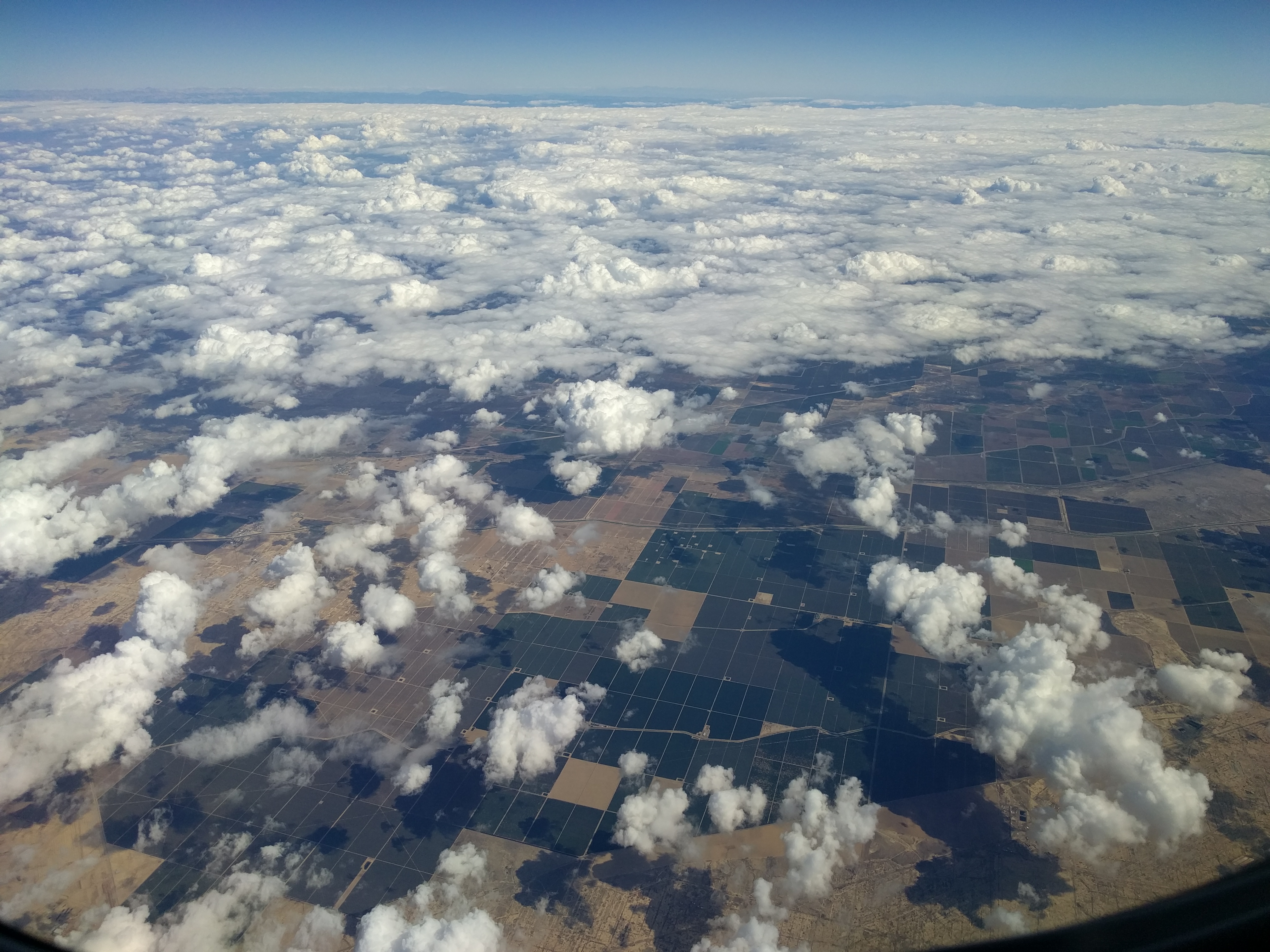
California from above

"I used the remote and 1+1 is 11."
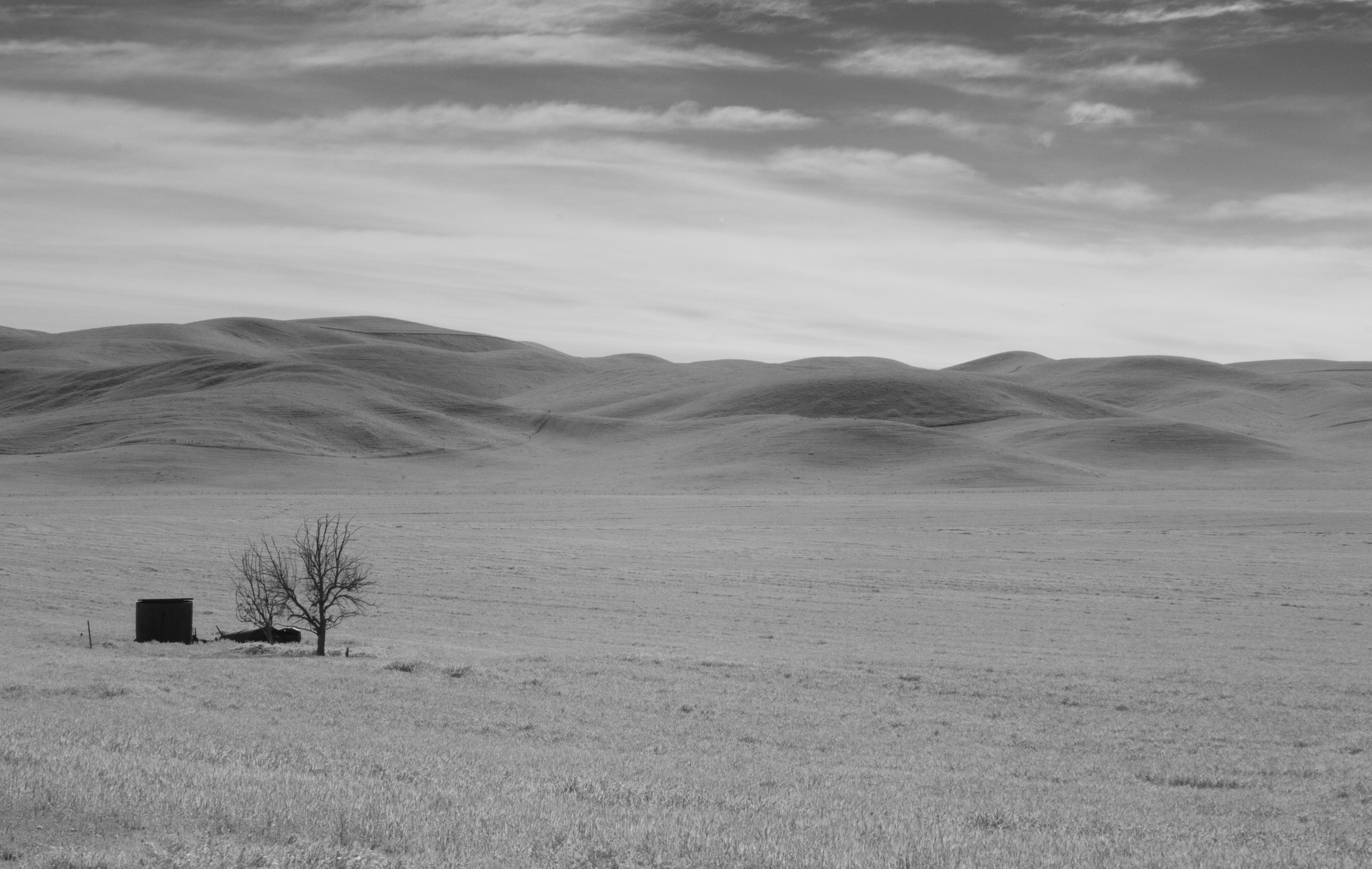
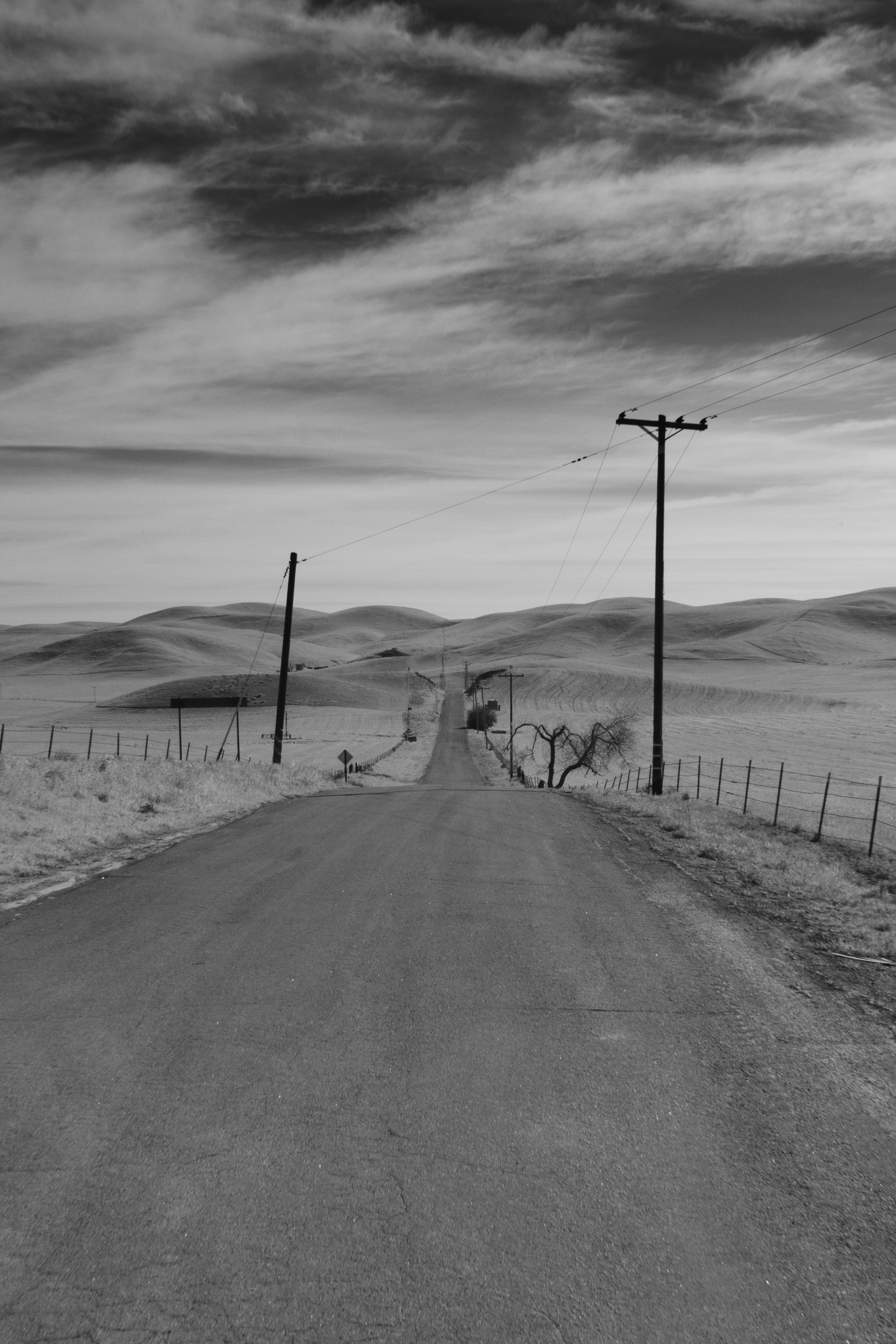
Bitterwater Road IR
Central Valley, CA
150615-1330KettlemanCA
Shadow play

april 2000. California (CA-41) near Cholame

Cruisin Under the Milky Way

Recently Added-107
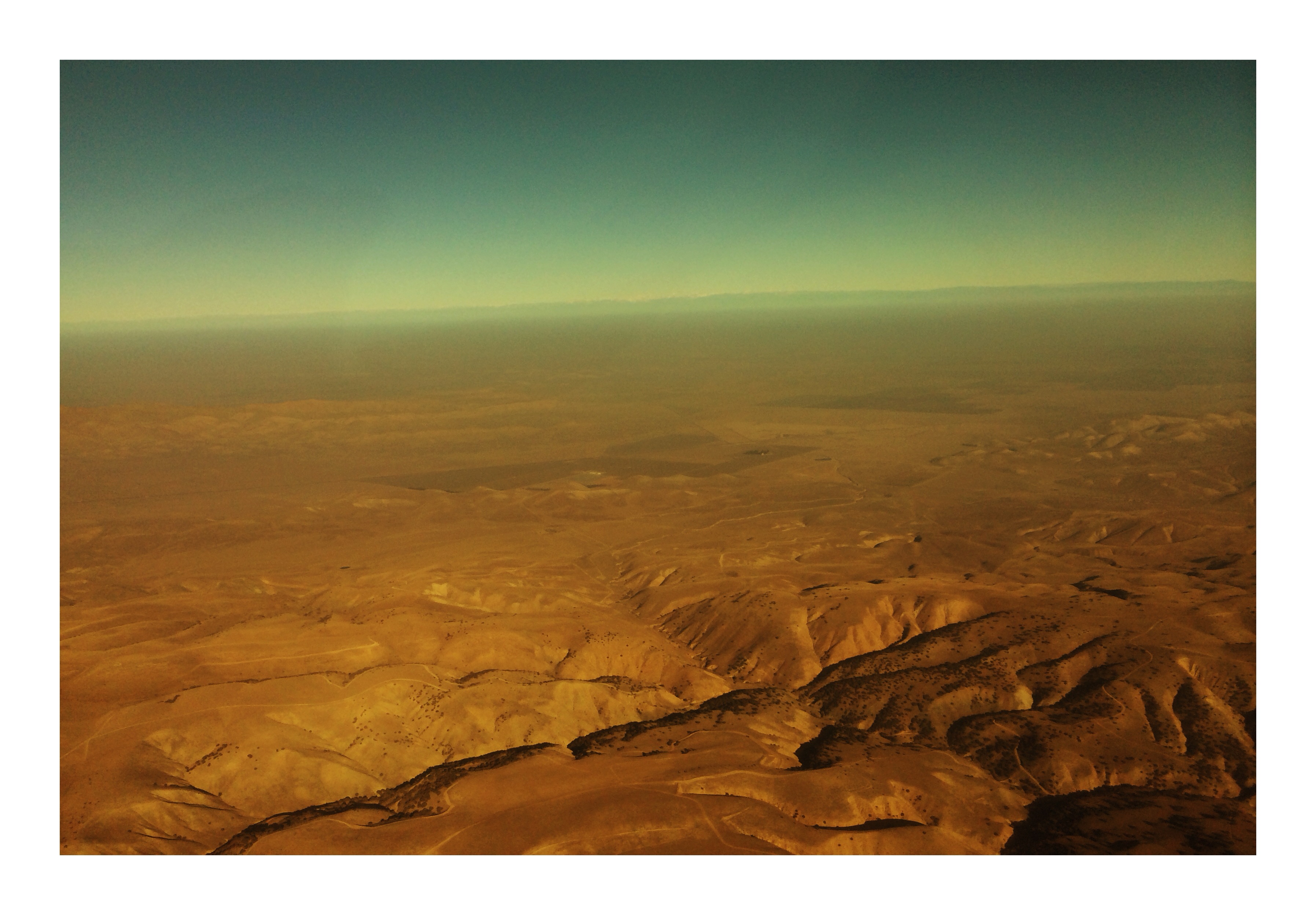
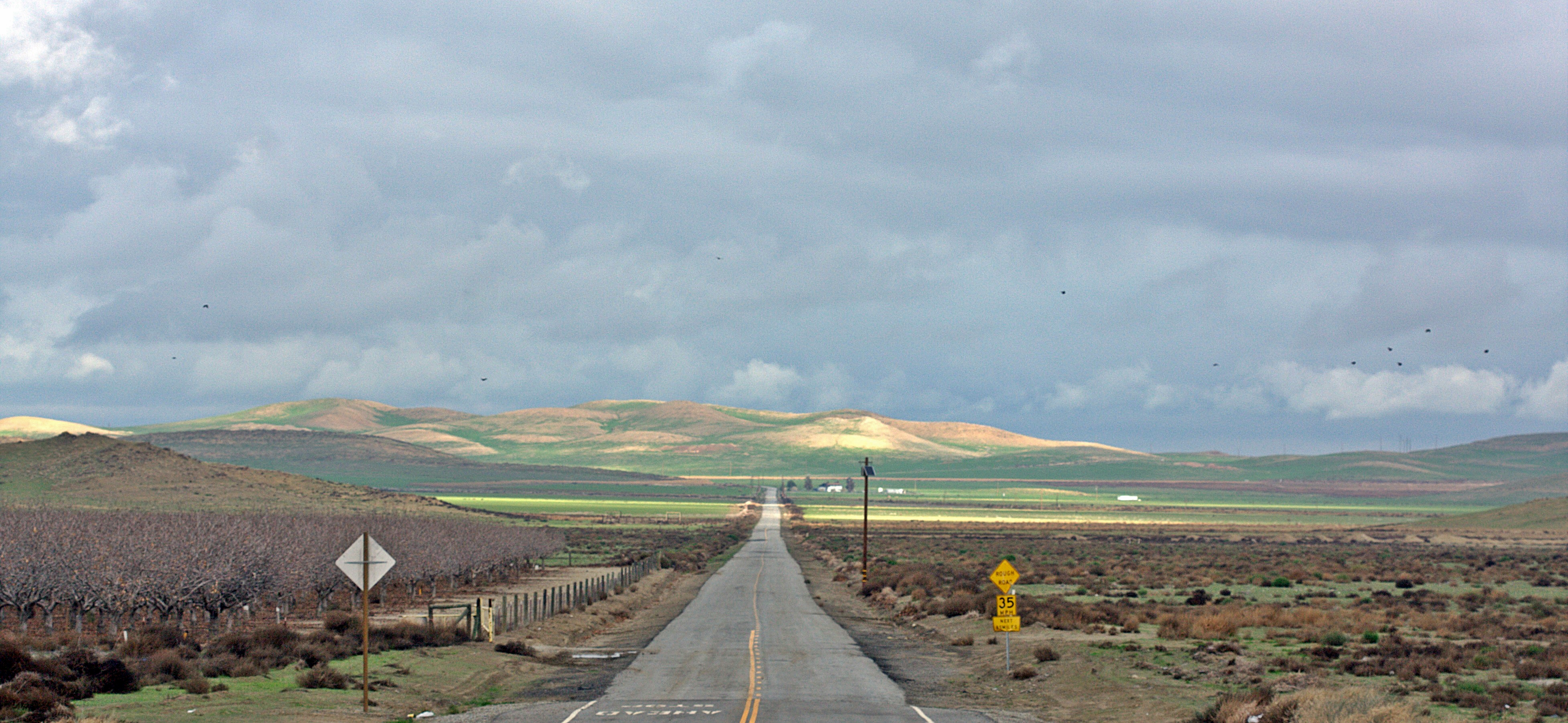
Dry California
Middle of Nowhere
Bitterwater Rd 2

#SuzanneMoon ???????? did very well on her second ((LONG)) #roadtrip ???????????? #igdaily #babies #babygirl #mysweetbabygirl
For @jesse_robles_ @lalane @cesarba420 #roadtrip #blackandwhite #igdaily #latergram #california
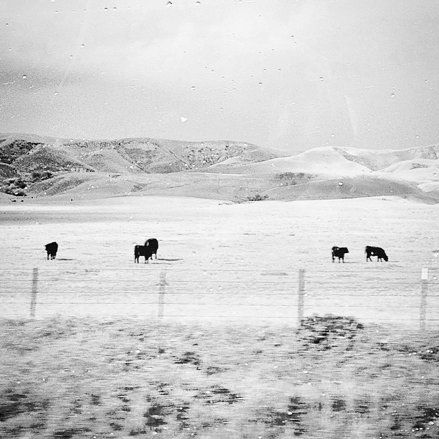
????Cows???? #roadtrip #igdaily #blackandwhite #moo #silhouette #ranch #farms #farmanimals
Keck's Corner
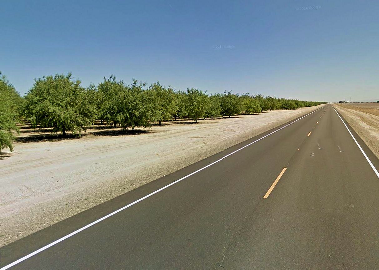
Almond Trees

Along Highway 46

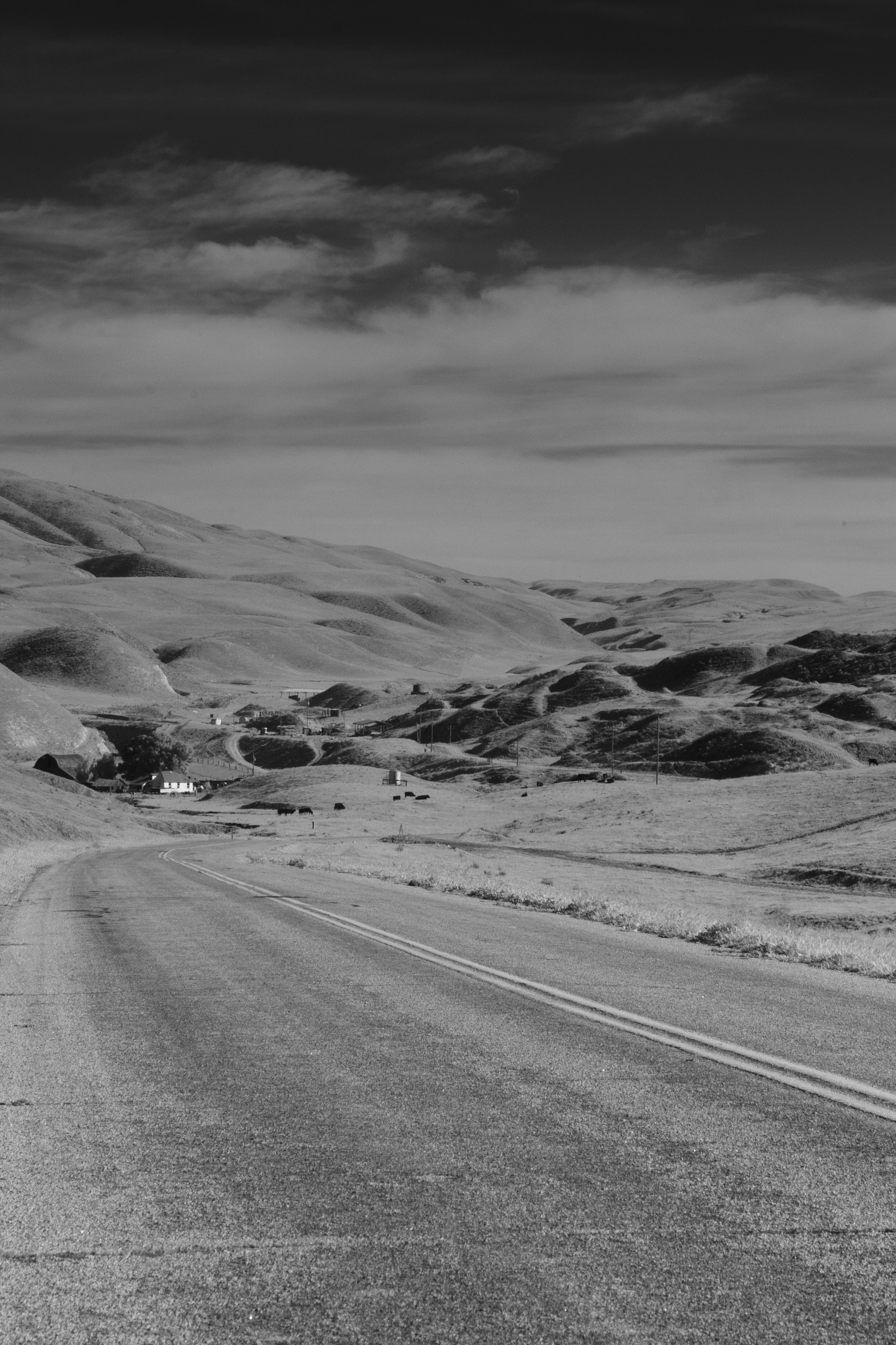
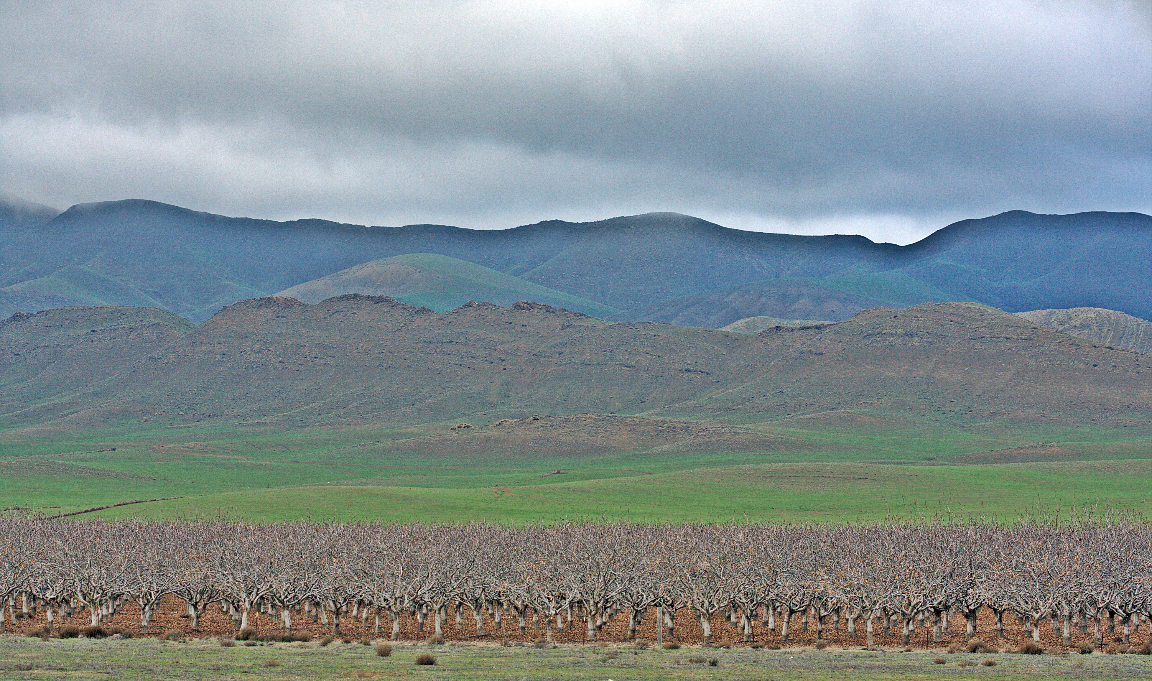
Lost Hills
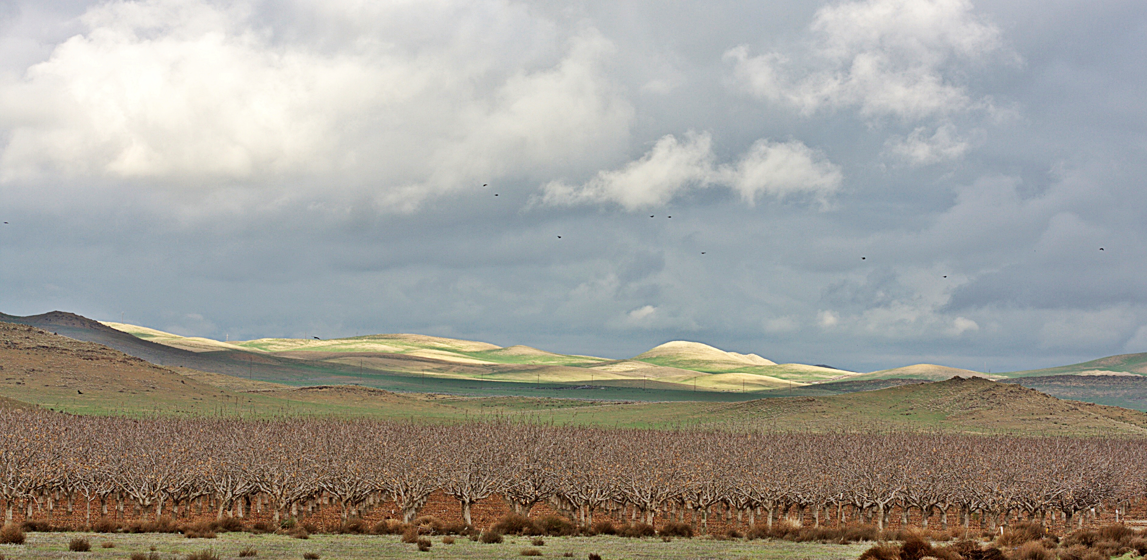
Almonds, Lost Hills, California.

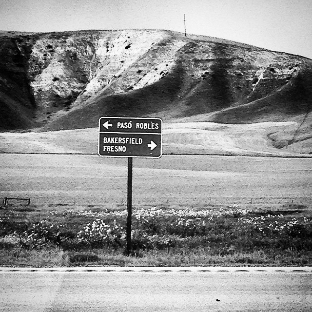
Heading to Paso Robles
CA-46, Lost Hills, CA アメリカ合衆国の地図
別の場所を検索
近所の場所
CA-46, California, アメリカ合衆国California 46
2 Annette Rd, Shandon, CA アメリカ合衆国
Cammatti Shandon Rd, Shandon, CA アメリカ合衆国
アメリカ合衆国 〒 カリフォルニア州 チョラメ
CA-46, Shandon, CA アメリカ合衆国
CA-33, Kettleman City, CA アメリカ合衆国
アメリカ合衆国 〒 カリフォルニア州 ブラックウェルズ・コーナー
CA-46, Lost Hills, CA アメリカ合衆国
Helios Way, Santa Margarita, CA アメリカ合衆国Topaz Solar Farm
Shell Creek Rd, California, アメリカ合衆国シェル・クリーク・ロード
アメリカ合衆国 〒 カリフォルニア州 シャンドン
E Centre St, Shandon, CA アメリカ合衆国
Skyline Blvd, Avenal, CA アメリカ合衆国
Hydril Rd, Avenal, CA アメリカ合衆国
アメリカ合衆国 カリフォルニア州 アベナル
Carrisa Hwy, Santa Margarita, CA アメリカ合衆国
アメリカ合衆国 〒 カリフォルニア州 ラ・パンザ
アメリカ合衆国 〒 カリフォルニア州 ケトルマン・シティ
Soda Lake Rd, Santa Margarita, CA アメリカ合衆国
アメリカ合衆国 カリフォルニア州 ロスト・ヒルズ
最近の検索
- アメリカ合衆国 アラスカ州 レッド・ドッグ・マイン日の出日の入り時間
- Am bhf, Borken, ドイツアム・バーンホーフ日の出日の入り時間
- 4th St E, Sonoma, CA, USA日の出日の入り時間
- Oakland Ave, Williamsport, PA アメリカ合衆国日の出日の入り時間
- Via Roma, Pieranica CR, イタリアローマ通り日の出日の入り時間
- クロアチア 〒 ドゥブロブニク GradClock Tower of Dubrovnik日の出日の入り時間
- アルゼンチン チュブ州 トレリュー日の出日の入り時間
- Hartfords Bluff Cir, Mt Pleasant, SC アメリカ合衆国日の出日の入り時間
- 日本、熊本県熊本市北区日の出日の入り時間
- 中華人民共和国 福州市 平潭県 平潭島日の出日の入り時間