アメリカ合衆国 〒 カリフォルニア州 ブリー・チョープ山日の出日の入り時間
Location: アメリカ合衆国 > カリフォルニア州 > CA アメリカ合衆国 >
時間帯:
America/Los_Angeles
現地時間:
2025-07-09 03:56:43
経度:
-122.766964
緯度:
40.5548704
今日の日の出時刻:
05:49:26 AM
今日の日の入時刻:
08:43:27 PM
今日の日長:
14h 54m 1s
明日の日の出時刻:
05:50:08 AM
明日の日の入時刻:
08:43:01 PM
明日の日長:
14h 52m 53s
すべて表示する
| 日付 | 日出 | 日没 | 日長 |
|---|---|---|---|
| 2025年01月01日 | 07:34:37 AM | 04:55:58 PM | 9h 21m 21s |
| 2025年01月02日 | 07:34:39 AM | 04:56:51 PM | 9h 22m 12s |
| 2025年01月03日 | 07:34:39 AM | 04:57:45 PM | 9h 23m 6s |
| 2025年01月04日 | 07:34:37 AM | 04:58:41 PM | 9h 24m 4s |
| 2025年01月05日 | 07:34:32 AM | 04:59:38 PM | 9h 25m 6s |
| 2025年01月06日 | 07:34:26 AM | 05:00:36 PM | 9h 26m 10s |
| 2025年01月07日 | 07:34:17 AM | 05:01:36 PM | 9h 27m 19s |
| 2025年01月08日 | 07:34:05 AM | 05:02:37 PM | 9h 28m 32s |
| 2025年01月09日 | 07:33:52 AM | 05:03:38 PM | 9h 29m 46s |
| 2025年01月10日 | 07:33:36 AM | 05:04:41 PM | 9h 31m 5s |
| 2025年01月11日 | 07:33:18 AM | 05:05:45 PM | 9h 32m 27s |
| 2025年01月12日 | 07:32:58 AM | 05:06:50 PM | 9h 33m 52s |
| 2025年01月13日 | 07:32:36 AM | 05:07:56 PM | 9h 35m 20s |
| 2025年01月14日 | 07:32:11 AM | 05:09:02 PM | 9h 36m 51s |
| 2025年01月15日 | 07:31:45 AM | 05:10:10 PM | 9h 38m 25s |
| 2025年01月16日 | 07:31:16 AM | 05:11:18 PM | 9h 40m 2s |
| 2025年01月17日 | 07:30:45 AM | 05:12:27 PM | 9h 41m 42s |
| 2025年01月18日 | 07:30:12 AM | 05:13:36 PM | 9h 43m 24s |
| 2025年01月19日 | 07:29:37 AM | 05:14:46 PM | 9h 45m 9s |
| 2025年01月20日 | 07:29:00 AM | 05:15:57 PM | 9h 46m 57s |
| 2025年01月21日 | 07:28:20 AM | 05:17:08 PM | 9h 48m 48s |
| 2025年01月22日 | 07:27:39 AM | 05:18:20 PM | 9h 50m 41s |
| 2025年01月23日 | 07:26:56 AM | 05:19:32 PM | 9h 52m 36s |
| 2025年01月24日 | 07:26:11 AM | 05:20:44 PM | 9h 54m 33s |
| 2025年01月25日 | 07:25:24 AM | 05:21:56 PM | 9h 56m 32s |
| 2025年01月26日 | 07:24:35 AM | 05:23:09 PM | 9h 58m 34s |
| 2025年01月27日 | 07:23:45 AM | 05:24:22 PM | 10h 0m 37s |
| 2025年01月28日 | 07:22:52 AM | 05:25:36 PM | 10h 2m 44s |
| 2025年01月29日 | 07:21:58 AM | 05:26:49 PM | 10h 4m 51s |
| 2025年01月30日 | 07:21:02 AM | 05:28:03 PM | 10h 7m 1s |
| 2025年01月31日 | 07:20:04 AM | 05:29:16 PM | 10h 9m 12s |
| 2025年02月01日 | 07:19:05 AM | 05:30:30 PM | 10h 11m 25s |
| 2025年02月02日 | 07:18:04 AM | 05:31:43 PM | 10h 13m 39s |
| 2025年02月03日 | 07:17:01 AM | 05:32:57 PM | 10h 15m 56s |
| 2025年02月04日 | 07:15:57 AM | 05:34:11 PM | 10h 18m 14s |
| 2025年02月05日 | 07:14:51 AM | 05:35:24 PM | 10h 20m 33s |
| 2025年02月06日 | 07:13:44 AM | 05:36:38 PM | 10h 22m 54s |
| 2025年02月07日 | 07:12:35 AM | 05:37:51 PM | 10h 25m 16s |
| 2025年02月08日 | 07:11:25 AM | 05:39:04 PM | 10h 27m 39s |
| 2025年02月09日 | 07:10:14 AM | 05:40:17 PM | 10h 30m 3s |
| 2025年02月10日 | 07:09:01 AM | 05:41:30 PM | 10h 32m 29s |
| 2025年02月11日 | 07:07:46 AM | 05:42:43 PM | 10h 34m 57s |
| 2025年02月12日 | 07:06:31 AM | 05:43:55 PM | 10h 37m 24s |
| 2025年02月13日 | 07:05:14 AM | 05:45:07 PM | 10h 39m 53s |
| 2025年02月14日 | 07:03:56 AM | 05:46:19 PM | 10h 42m 23s |
| 2025年02月15日 | 07:02:37 AM | 05:47:31 PM | 10h 44m 54s |
| 2025年02月16日 | 07:01:17 AM | 05:48:42 PM | 10h 47m 25s |
| 2025年02月17日 | 06:59:56 AM | 05:49:53 PM | 10h 49m 57s |
| 2025年02月18日 | 06:58:33 AM | 05:51:04 PM | 10h 52m 31s |
| 2025年02月19日 | 06:57:10 AM | 05:52:15 PM | 10h 55m 5s |
| 2025年02月20日 | 06:55:45 AM | 05:53:25 PM | 10h 57m 40s |
| 2025年02月21日 | 06:54:20 AM | 05:54:35 PM | 11h 0m 15s |
| 2025年02月22日 | 06:52:53 AM | 05:55:45 PM | 11h 2m 52s |
| 2025年02月23日 | 06:51:26 AM | 05:56:54 PM | 11h 5m 28s |
| 2025年02月24日 | 06:49:58 AM | 05:58:03 PM | 11h 8m 5s |
| 2025年02月25日 | 06:48:29 AM | 05:59:12 PM | 11h 10m 43s |
| 2025年02月26日 | 06:46:59 AM | 06:00:21 PM | 11h 13m 22s |
| 2025年02月27日 | 06:45:29 AM | 06:01:29 PM | 11h 16m 0s |
| 2025年02月28日 | 06:43:58 AM | 06:02:37 PM | 11h 18m 39s |
| 2025年03月01日 | 06:42:26 AM | 06:03:44 PM | 11h 21m 18s |
| 2025年03月02日 | 06:40:53 AM | 06:04:52 PM | 11h 23m 59s |
| 2025年03月03日 | 06:39:20 AM | 06:05:59 PM | 11h 26m 39s |
| 2025年03月04日 | 06:37:46 AM | 06:07:05 PM | 11h 29m 19s |
| 2025年03月05日 | 06:36:12 AM | 06:08:12 PM | 11h 32m 0s |
| 2025年03月06日 | 06:34:37 AM | 06:09:18 PM | 11h 34m 41s |
| 2025年03月07日 | 06:33:01 AM | 06:10:24 PM | 11h 37m 23s |
| 2025年03月08日 | 06:31:26 AM | 06:11:30 PM | 11h 40m 4s |
| 2025年03月09日 | 07:29:53 AM | 07:12:32 PM | 11h 42m 39s |
| 2025年03月10日 | 07:28:17 AM | 07:13:37 PM | 11h 45m 20s |
| 2025年03月11日 | 07:26:40 AM | 07:14:42 PM | 11h 48m 2s |
| 2025年03月12日 | 07:25:02 AM | 07:15:47 PM | 11h 50m 45s |
| 2025年03月13日 | 07:23:24 AM | 07:16:52 PM | 11h 53m 28s |
| 2025年03月14日 | 07:21:47 AM | 07:17:56 PM | 11h 56m 9s |
| 2025年03月15日 | 07:20:08 AM | 07:19:00 PM | 11h 58m 52s |
| 2025年03月16日 | 07:18:30 AM | 07:20:04 PM | 12h 1m 34s |
| 2025年03月17日 | 07:16:51 AM | 07:21:08 PM | 12h 4m 17s |
| 2025年03月18日 | 07:15:13 AM | 07:22:11 PM | 12h 6m 58s |
| 2025年03月19日 | 07:13:34 AM | 07:23:15 PM | 12h 9m 41s |
| 2025年03月20日 | 07:11:55 AM | 07:24:18 PM | 12h 12m 23s |
| 2025年03月21日 | 07:10:16 AM | 07:25:21 PM | 12h 15m 5s |
| 2025年03月22日 | 07:08:37 AM | 07:26:24 PM | 12h 17m 47s |
| 2025年03月23日 | 07:06:58 AM | 07:27:27 PM | 12h 20m 29s |
| 2025年03月24日 | 07:05:18 AM | 07:28:30 PM | 12h 23m 12s |
| 2025年03月25日 | 07:03:40 AM | 07:29:33 PM | 12h 25m 53s |
| 2025年03月26日 | 07:02:01 AM | 07:30:36 PM | 12h 28m 35s |
| 2025年03月27日 | 07:00:22 AM | 07:31:38 PM | 12h 31m 16s |
| 2025年03月28日 | 06:58:43 AM | 07:32:41 PM | 12h 33m 58s |
| 2025年03月29日 | 06:57:05 AM | 07:33:43 PM | 12h 36m 38s |
| 2025年03月30日 | 06:55:27 AM | 07:34:46 PM | 12h 39m 19s |
| 2025年03月31日 | 06:53:49 AM | 07:35:48 PM | 12h 41m 59s |
| 2025年04月01日 | 06:52:11 AM | 07:36:50 PM | 12h 44m 39s |
| 2025年04月02日 | 06:50:34 AM | 07:37:53 PM | 12h 47m 19s |
| 2025年04月03日 | 06:48:57 AM | 07:38:55 PM | 12h 49m 58s |
| 2025年04月04日 | 06:47:20 AM | 07:39:57 PM | 12h 52m 37s |
| 2025年04月05日 | 06:45:44 AM | 07:41:00 PM | 12h 55m 16s |
| 2025年04月06日 | 06:44:08 AM | 07:42:02 PM | 12h 57m 54s |
| 2025年04月07日 | 06:42:32 AM | 07:43:04 PM | 13h 0m 32s |
| 2025年04月08日 | 06:40:57 AM | 07:44:06 PM | 13h 3m 9s |
| 2025年04月09日 | 06:39:23 AM | 07:45:09 PM | 13h 5m 46s |
| 2025年04月10日 | 06:37:49 AM | 07:46:11 PM | 13h 8m 22s |
| 2025年04月11日 | 06:36:16 AM | 07:47:14 PM | 13h 10m 58s |
| 2025年04月12日 | 06:34:43 AM | 07:48:16 PM | 13h 13m 33s |
| 2025年04月13日 | 06:33:11 AM | 07:49:18 PM | 13h 16m 7s |
| 2025年04月14日 | 06:31:40 AM | 07:50:21 PM | 13h 18m 41s |
| 2025年04月15日 | 06:30:09 AM | 07:51:23 PM | 13h 21m 14s |
| 2025年04月16日 | 06:28:39 AM | 07:52:26 PM | 13h 23m 47s |
| 2025年04月17日 | 06:27:10 AM | 07:53:28 PM | 13h 26m 18s |
| 2025年04月18日 | 06:25:42 AM | 07:54:31 PM | 13h 28m 49s |
| 2025年04月19日 | 06:24:14 AM | 07:55:33 PM | 13h 31m 19s |
| 2025年04月20日 | 06:22:48 AM | 07:56:36 PM | 13h 33m 48s |
| 2025年04月21日 | 06:21:22 AM | 07:57:38 PM | 13h 36m 16s |
| 2025年04月22日 | 06:19:57 AM | 07:58:41 PM | 13h 38m 44s |
| 2025年04月23日 | 06:18:33 AM | 07:59:43 PM | 13h 41m 10s |
| 2025年04月24日 | 06:17:10 AM | 08:00:45 PM | 13h 43m 35s |
| 2025年04月25日 | 06:15:49 AM | 08:01:48 PM | 13h 45m 59s |
| 2025年04月26日 | 06:14:28 AM | 08:02:50 PM | 13h 48m 22s |
| 2025年04月27日 | 06:13:08 AM | 08:03:52 PM | 13h 50m 44s |
| 2025年04月28日 | 06:11:50 AM | 08:04:55 PM | 13h 53m 5s |
| 2025年04月29日 | 06:10:32 AM | 08:05:57 PM | 13h 55m 25s |
| 2025年04月30日 | 06:09:16 AM | 08:06:59 PM | 13h 57m 43s |
| 2025年05月01日 | 06:08:01 AM | 08:08:00 PM | 13h 59m 59s |
| 2025年05月02日 | 06:06:47 AM | 08:09:02 PM | 14h 2m 15s |
| 2025年05月03日 | 06:05:34 AM | 08:10:04 PM | 14h 4m 30s |
| 2025年05月04日 | 06:04:23 AM | 08:11:05 PM | 14h 6m 42s |
| 2025年05月05日 | 06:03:13 AM | 08:12:06 PM | 14h 8m 53s |
| 2025年05月06日 | 06:02:05 AM | 08:13:07 PM | 14h 11m 2s |
| 2025年05月07日 | 06:00:58 AM | 08:14:07 PM | 14h 13m 9s |
| 2025年05月08日 | 05:59:52 AM | 08:15:08 PM | 14h 15m 16s |
| 2025年05月09日 | 05:58:48 AM | 08:16:08 PM | 14h 17m 20s |
| 2025年05月10日 | 05:57:45 AM | 08:17:07 PM | 14h 19m 22s |
| 2025年05月11日 | 05:56:44 AM | 08:18:07 PM | 14h 21m 23s |
| 2025年05月12日 | 05:55:44 AM | 08:19:06 PM | 14h 23m 22s |
| 2025年05月13日 | 05:54:46 AM | 08:20:04 PM | 14h 25m 18s |
| 2025年05月14日 | 05:53:50 AM | 08:21:02 PM | 14h 27m 12s |
| 2025年05月15日 | 05:52:55 AM | 08:21:59 PM | 14h 29m 4s |
| 2025年05月16日 | 05:52:02 AM | 08:22:56 PM | 14h 30m 54s |
| 2025年05月17日 | 05:51:10 AM | 08:23:53 PM | 14h 32m 43s |
| 2025年05月18日 | 05:50:21 AM | 08:24:48 PM | 14h 34m 27s |
| 2025年05月19日 | 05:49:32 AM | 08:25:43 PM | 14h 36m 11s |
| 2025年05月20日 | 05:48:46 AM | 08:26:38 PM | 14h 37m 52s |
| 2025年05月21日 | 05:48:02 AM | 08:27:31 PM | 14h 39m 29s |
| 2025年05月22日 | 05:47:19 AM | 08:28:24 PM | 14h 41m 5s |
| 2025年05月23日 | 05:46:38 AM | 08:29:16 PM | 14h 42m 38s |
| 2025年05月24日 | 05:45:59 AM | 08:30:08 PM | 14h 44m 9s |
| 2025年05月25日 | 05:45:22 AM | 08:30:58 PM | 14h 45m 36s |
| 2025年05月26日 | 05:44:47 AM | 08:31:47 PM | 14h 47m 0s |
| 2025年05月27日 | 05:44:13 AM | 08:32:36 PM | 14h 48m 23s |
| 2025年05月28日 | 05:43:42 AM | 08:33:23 PM | 14h 49m 41s |
| 2025年05月29日 | 05:43:12 AM | 08:34:10 PM | 14h 50m 58s |
| 2025年05月30日 | 05:42:45 AM | 08:34:55 PM | 14h 52m 10s |
| 2025年05月31日 | 05:42:19 AM | 08:35:39 PM | 14h 53m 20s |
| 2025年06月01日 | 05:41:55 AM | 08:36:22 PM | 14h 54m 27s |
| 2025年06月02日 | 05:41:33 AM | 08:37:04 PM | 14h 55m 31s |
| 2025年06月03日 | 05:41:14 AM | 08:37:44 PM | 14h 56m 30s |
| 2025年06月04日 | 05:40:56 AM | 08:38:23 PM | 14h 57m 27s |
| 2025年06月05日 | 05:40:40 AM | 08:39:01 PM | 14h 58m 21s |
| 2025年06月06日 | 05:40:26 AM | 08:39:37 PM | 14h 59m 11s |
| 2025年06月07日 | 05:40:14 AM | 08:40:12 PM | 14h 59m 58s |
| 2025年06月08日 | 05:40:04 AM | 08:40:46 PM | 15h 0m 42s |
| 2025年06月09日 | 05:39:57 AM | 08:41:18 PM | 15h 1m 21s |
| 2025年06月10日 | 05:39:51 AM | 08:41:48 PM | 15h 1m 57s |
| 2025年06月11日 | 05:39:47 AM | 08:42:17 PM | 15h 2m 30s |
| 2025年06月12日 | 05:39:45 AM | 08:42:44 PM | 15h 2m 59s |
| 2025年06月13日 | 05:39:45 AM | 08:43:09 PM | 15h 3m 24s |
| 2025年06月14日 | 05:39:47 AM | 08:43:33 PM | 15h 3m 46s |
| 2025年06月15日 | 05:39:50 AM | 08:43:55 PM | 15h 4m 5s |
| 2025年06月16日 | 05:39:56 AM | 08:44:15 PM | 15h 4m 19s |
| 2025年06月17日 | 05:40:04 AM | 08:44:34 PM | 15h 4m 30s |
| 2025年06月18日 | 05:40:13 AM | 08:44:51 PM | 15h 4m 38s |
| 2025年06月19日 | 05:40:24 AM | 08:45:06 PM | 15h 4m 42s |
| 2025年06月20日 | 05:40:38 AM | 08:45:19 PM | 15h 4m 41s |
| 2025年06月21日 | 05:40:52 AM | 08:45:30 PM | 15h 4m 38s |
| 2025年06月22日 | 05:41:09 AM | 08:45:39 PM | 15h 4m 30s |
| 2025年06月23日 | 05:41:28 AM | 08:45:46 PM | 15h 4m 18s |
| 2025年06月24日 | 05:41:48 AM | 08:45:51 PM | 15h 4m 3s |
| 2025年06月25日 | 05:42:10 AM | 08:45:55 PM | 15h 3m 45s |
| 2025年06月26日 | 05:42:33 AM | 08:45:56 PM | 15h 3m 23s |
| 2025年06月27日 | 05:42:58 AM | 08:45:56 PM | 15h 2m 58s |
| 2025年06月28日 | 05:43:25 AM | 08:45:53 PM | 15h 2m 28s |
| 2025年06月29日 | 05:43:53 AM | 08:45:48 PM | 15h 1m 55s |
| 2025年06月30日 | 05:44:23 AM | 08:45:42 PM | 15h 1m 19s |
| 2025年07月01日 | 05:44:54 AM | 08:45:33 PM | 15h 0m 39s |
| 2025年07月02日 | 05:45:27 AM | 08:45:23 PM | 14h 59m 56s |
| 2025年07月03日 | 05:46:01 AM | 08:45:10 PM | 14h 59m 9s |
| 2025年07月04日 | 05:46:36 AM | 08:44:55 PM | 14h 58m 19s |
| 2025年07月05日 | 05:47:13 AM | 08:44:38 PM | 14h 57m 25s |
| 2025年07月06日 | 05:47:51 AM | 08:44:20 PM | 14h 56m 29s |
| 2025年07月07日 | 05:48:30 AM | 08:43:59 PM | 14h 55m 29s |
| 2025年07月08日 | 05:49:11 AM | 08:43:36 PM | 14h 54m 25s |
| 2025年07月09日 | 05:49:52 AM | 08:43:11 PM | 14h 53m 19s |
| 2025年07月10日 | 05:50:35 AM | 08:42:44 PM | 14h 52m 9s |
| 2025年07月11日 | 05:51:19 AM | 08:42:16 PM | 14h 50m 57s |
| 2025年07月12日 | 05:52:03 AM | 08:41:45 PM | 14h 49m 42s |
| 2025年07月13日 | 05:52:49 AM | 08:41:12 PM | 14h 48m 23s |
| 2025年07月14日 | 05:53:36 AM | 08:40:38 PM | 14h 47m 2s |
| 2025年07月15日 | 05:54:24 AM | 08:40:01 PM | 14h 45m 37s |
| 2025年07月16日 | 05:55:12 AM | 08:39:23 PM | 14h 44m 11s |
| 2025年07月17日 | 05:56:01 AM | 08:38:42 PM | 14h 42m 41s |
| 2025年07月18日 | 05:56:51 AM | 08:38:00 PM | 14h 41m 9s |
| 2025年07月19日 | 05:57:42 AM | 08:37:16 PM | 14h 39m 34s |
| 2025年07月20日 | 05:58:34 AM | 08:36:30 PM | 14h 37m 56s |
| 2025年07月21日 | 05:59:26 AM | 08:35:43 PM | 14h 36m 17s |
| 2025年07月22日 | 06:00:18 AM | 08:34:53 PM | 14h 34m 35s |
| 2025年07月23日 | 06:01:12 AM | 08:34:02 PM | 14h 32m 50s |
| 2025年07月24日 | 06:02:05 AM | 08:33:09 PM | 14h 31m 4s |
| 2025年07月25日 | 06:03:00 AM | 08:32:15 PM | 14h 29m 15s |
| 2025年07月26日 | 06:03:55 AM | 08:31:18 PM | 14h 27m 23s |
| 2025年07月27日 | 06:04:50 AM | 08:30:20 PM | 14h 25m 30s |
| 2025年07月28日 | 06:05:46 AM | 08:29:21 PM | 14h 23m 35s |
| 2025年07月29日 | 06:06:42 AM | 08:28:20 PM | 14h 21m 38s |
| 2025年07月30日 | 06:07:38 AM | 08:27:17 PM | 14h 19m 39s |
| 2025年07月31日 | 06:08:35 AM | 08:26:13 PM | 14h 17m 38s |
| 2025年08月01日 | 06:09:32 AM | 08:25:07 PM | 14h 15m 35s |
| 2025年08月02日 | 06:10:29 AM | 08:24:00 PM | 14h 13m 31s |
| 2025年08月03日 | 06:11:26 AM | 08:22:51 PM | 14h 11m 25s |
| 2025年08月04日 | 06:12:24 AM | 08:21:41 PM | 14h 9m 17s |
| 2025年08月05日 | 06:13:22 AM | 08:20:30 PM | 14h 7m 8s |
| 2025年08月06日 | 06:14:20 AM | 08:19:17 PM | 14h 4m 57s |
| 2025年08月07日 | 06:15:18 AM | 08:18:03 PM | 14h 2m 45s |
| 2025年08月08日 | 06:16:16 AM | 08:16:48 PM | 14h 0m 32s |
| 2025年08月09日 | 06:17:15 AM | 08:15:31 PM | 13h 58m 16s |
| 2025年08月10日 | 06:18:13 AM | 08:14:13 PM | 13h 56m 0s |
| 2025年08月11日 | 06:19:12 AM | 08:12:54 PM | 13h 53m 42s |
| 2025年08月12日 | 06:20:10 AM | 08:11:34 PM | 13h 51m 24s |
| 2025年08月13日 | 06:21:09 AM | 08:10:13 PM | 13h 49m 4s |
| 2025年08月14日 | 06:22:07 AM | 08:08:50 PM | 13h 46m 43s |
| 2025年08月15日 | 06:23:06 AM | 08:07:27 PM | 13h 44m 21s |
| 2025年08月16日 | 06:24:05 AM | 08:06:02 PM | 13h 41m 57s |
| 2025年08月17日 | 06:25:03 AM | 08:04:37 PM | 13h 39m 34s |
| 2025年08月18日 | 06:26:02 AM | 08:03:11 PM | 13h 37m 9s |
| 2025年08月19日 | 06:27:01 AM | 08:01:43 PM | 13h 34m 42s |
| 2025年08月20日 | 06:27:59 AM | 08:00:15 PM | 13h 32m 16s |
| 2025年08月21日 | 06:28:58 AM | 07:58:46 PM | 13h 29m 48s |
| 2025年08月22日 | 06:29:56 AM | 07:57:16 PM | 13h 27m 20s |
| 2025年08月23日 | 06:30:55 AM | 07:55:45 PM | 13h 24m 50s |
| 2025年08月24日 | 06:31:53 AM | 07:54:13 PM | 13h 22m 20s |
| 2025年08月25日 | 06:32:51 AM | 07:52:41 PM | 13h 19m 50s |
| 2025年08月26日 | 06:33:50 AM | 07:51:08 PM | 13h 17m 18s |
| 2025年08月27日 | 06:34:48 AM | 07:49:34 PM | 13h 14m 46s |
| 2025年08月28日 | 06:35:46 AM | 07:48:00 PM | 13h 12m 14s |
| 2025年08月29日 | 06:36:44 AM | 07:46:25 PM | 13h 9m 41s |
| 2025年08月30日 | 06:37:42 AM | 07:44:49 PM | 13h 7m 7s |
| 2025年08月31日 | 06:38:40 AM | 07:43:13 PM | 13h 4m 33s |
| 2025年09月01日 | 06:39:38 AM | 07:41:36 PM | 13h 1m 58s |
| 2025年09月02日 | 06:40:36 AM | 07:39:59 PM | 12h 59m 23s |
| 2025年09月03日 | 06:41:34 AM | 07:38:22 PM | 12h 56m 48s |
| 2025年09月04日 | 06:42:32 AM | 07:36:43 PM | 12h 54m 11s |
| 2025年09月05日 | 06:43:30 AM | 07:35:05 PM | 12h 51m 35s |
| 2025年09月06日 | 06:44:28 AM | 07:33:26 PM | 12h 48m 58s |
| 2025年09月07日 | 06:45:25 AM | 07:31:47 PM | 12h 46m 22s |
| 2025年09月08日 | 06:46:23 AM | 07:30:07 PM | 12h 43m 44s |
| 2025年09月09日 | 06:47:21 AM | 07:28:27 PM | 12h 41m 6s |
| 2025年09月10日 | 06:48:19 AM | 07:26:47 PM | 12h 38m 28s |
| 2025年09月11日 | 06:49:17 AM | 07:25:07 PM | 12h 35m 50s |
| 2025年09月12日 | 06:50:15 AM | 07:23:26 PM | 12h 33m 11s |
| 2025年09月13日 | 06:51:13 AM | 07:21:45 PM | 12h 30m 32s |
| 2025年09月14日 | 06:52:11 AM | 07:20:05 PM | 12h 27m 54s |
| 2025年09月15日 | 06:53:09 AM | 07:18:24 PM | 12h 25m 15s |
| 2025年09月16日 | 06:54:07 AM | 07:16:42 PM | 12h 22m 35s |
| 2025年09月17日 | 06:55:06 AM | 07:15:01 PM | 12h 19m 55s |
| 2025年09月18日 | 06:56:04 AM | 07:13:20 PM | 12h 17m 16s |
| 2025年09月19日 | 06:57:02 AM | 07:11:39 PM | 12h 14m 37s |
| 2025年09月20日 | 06:58:01 AM | 07:09:58 PM | 12h 11m 57s |
| 2025年09月21日 | 06:59:00 AM | 07:08:17 PM | 12h 9m 17s |
| 2025年09月22日 | 06:59:59 AM | 07:06:36 PM | 12h 6m 37s |
| 2025年09月23日 | 07:00:58 AM | 07:04:55 PM | 12h 3m 57s |
| 2025年09月24日 | 07:01:57 AM | 07:03:14 PM | 12h 1m 17s |
| 2025年09月25日 | 07:02:56 AM | 07:01:34 PM | 11h 58m 38s |
| 2025年09月26日 | 07:03:56 AM | 06:59:53 PM | 11h 55m 57s |
| 2025年09月27日 | 07:04:55 AM | 06:58:13 PM | 11h 53m 18s |
| 2025年09月28日 | 07:05:55 AM | 06:56:34 PM | 11h 50m 39s |
| 2025年09月29日 | 07:06:56 AM | 06:54:54 PM | 11h 47m 58s |
| 2025年09月30日 | 07:07:56 AM | 06:53:15 PM | 11h 45m 19s |
| 2025年10月01日 | 07:08:57 AM | 06:51:36 PM | 11h 42m 39s |
| 2025年10月02日 | 07:09:57 AM | 06:49:58 PM | 11h 40m 1s |
| 2025年10月03日 | 07:10:59 AM | 06:48:20 PM | 11h 37m 21s |
| 2025年10月04日 | 07:12:00 AM | 06:46:42 PM | 11h 34m 42s |
| 2025年10月05日 | 07:13:02 AM | 06:45:05 PM | 11h 32m 3s |
| 2025年10月06日 | 07:14:04 AM | 06:43:29 PM | 11h 29m 25s |
| 2025年10月07日 | 07:15:06 AM | 06:41:53 PM | 11h 26m 47s |
| 2025年10月08日 | 07:16:08 AM | 06:40:18 PM | 11h 24m 10s |
| 2025年10月09日 | 07:17:11 AM | 06:38:43 PM | 11h 21m 32s |
| 2025年10月10日 | 07:18:14 AM | 06:37:09 PM | 11h 18m 55s |
| 2025年10月11日 | 07:19:18 AM | 06:35:35 PM | 11h 16m 17s |
| 2025年10月12日 | 07:20:22 AM | 06:34:03 PM | 11h 13m 41s |
| 2025年10月13日 | 07:21:26 AM | 06:32:31 PM | 11h 11m 5s |
| 2025年10月14日 | 07:22:30 AM | 06:31:00 PM | 11h 8m 30s |
| 2025年10月15日 | 07:23:35 AM | 06:29:29 PM | 11h 5m 54s |
| 2025年10月16日 | 07:24:40 AM | 06:28:00 PM | 11h 3m 20s |
| 2025年10月17日 | 07:25:45 AM | 06:26:31 PM | 11h 0m 46s |
| 2025年10月18日 | 07:26:51 AM | 06:25:03 PM | 10h 58m 12s |
| 2025年10月19日 | 07:27:57 AM | 06:23:37 PM | 10h 55m 40s |
| 2025年10月20日 | 07:29:04 AM | 06:22:11 PM | 10h 53m 7s |
| 2025年10月21日 | 07:30:10 AM | 06:20:46 PM | 10h 50m 36s |
| 2025年10月22日 | 07:31:17 AM | 06:19:22 PM | 10h 48m 5s |
| 2025年10月23日 | 07:32:25 AM | 06:18:00 PM | 10h 45m 35s |
| 2025年10月24日 | 07:33:32 AM | 06:16:38 PM | 10h 43m 6s |
| 2025年10月25日 | 07:34:40 AM | 06:15:18 PM | 10h 40m 38s |
| 2025年10月26日 | 07:35:48 AM | 06:13:59 PM | 10h 38m 11s |
| 2025年10月27日 | 07:36:57 AM | 06:12:41 PM | 10h 35m 44s |
| 2025年10月28日 | 07:38:06 AM | 06:11:24 PM | 10h 33m 18s |
| 2025年10月29日 | 07:39:15 AM | 06:10:09 PM | 10h 30m 54s |
| 2025年10月30日 | 07:40:24 AM | 06:08:55 PM | 10h 28m 31s |
| 2025年10月31日 | 07:41:33 AM | 06:07:42 PM | 10h 26m 9s |
| 2025年11月01日 | 07:42:43 AM | 06:06:31 PM | 10h 23m 48s |
| 2025年11月02日 | 06:43:56 AM | 05:05:19 PM | 10h 21m 23s |
| 2025年11月03日 | 06:45:06 AM | 05:04:10 PM | 10h 19m 4s |
| 2025年11月04日 | 06:46:16 AM | 05:03:04 PM | 10h 16m 48s |
| 2025年11月05日 | 06:47:26 AM | 05:01:59 PM | 10h 14m 33s |
| 2025年11月06日 | 06:48:36 AM | 05:00:55 PM | 10h 12m 19s |
| 2025年11月07日 | 06:49:47 AM | 04:59:53 PM | 10h 10m 6s |
| 2025年11月08日 | 06:50:57 AM | 04:58:53 PM | 10h 7m 56s |
| 2025年11月09日 | 06:52:07 AM | 04:57:54 PM | 10h 5m 47s |
| 2025年11月10日 | 06:53:18 AM | 04:56:57 PM | 10h 3m 39s |
| 2025年11月11日 | 06:54:28 AM | 04:56:02 PM | 10h 1m 34s |
| 2025年11月12日 | 06:55:38 AM | 04:55:09 PM | 9h 59m 31s |
| 2025年11月13日 | 06:56:48 AM | 04:54:18 PM | 9h 57m 30s |
| 2025年11月14日 | 06:57:58 AM | 04:53:28 PM | 9h 55m 30s |
| 2025年11月15日 | 06:59:08 AM | 04:52:40 PM | 9h 53m 32s |
| 2025年11月16日 | 07:00:17 AM | 04:51:55 PM | 9h 51m 38s |
| 2025年11月17日 | 07:01:26 AM | 04:51:11 PM | 9h 49m 45s |
| 2025年11月18日 | 07:02:35 AM | 04:50:29 PM | 9h 47m 54s |
| 2025年11月19日 | 07:03:44 AM | 04:49:49 PM | 9h 46m 5s |
| 2025年11月20日 | 07:04:52 AM | 04:49:12 PM | 9h 44m 20s |
| 2025年11月21日 | 07:05:59 AM | 04:48:36 PM | 9h 42m 37s |
| 2025年11月22日 | 07:07:06 AM | 04:48:02 PM | 9h 40m 56s |
| 2025年11月23日 | 07:08:12 AM | 04:47:31 PM | 9h 39m 19s |
| 2025年11月24日 | 07:09:18 AM | 04:47:02 PM | 9h 37m 44s |
| 2025年11月25日 | 07:10:23 AM | 04:46:34 PM | 9h 36m 11s |
| 2025年11月26日 | 07:11:28 AM | 04:46:09 PM | 9h 34m 41s |
| 2025年11月27日 | 07:12:31 AM | 04:45:47 PM | 9h 33m 16s |
| 2025年11月28日 | 07:13:34 AM | 04:45:26 PM | 9h 31m 52s |
| 2025年11月29日 | 07:14:36 AM | 04:45:08 PM | 9h 30m 32s |
| 2025年11月30日 | 07:15:36 AM | 04:44:52 PM | 9h 29m 16s |
| 2025年12月01日 | 07:16:36 AM | 04:44:38 PM | 9h 28m 2s |
| 2025年12月02日 | 07:17:35 AM | 04:44:27 PM | 9h 26m 52s |
| 2025年12月03日 | 07:18:33 AM | 04:44:18 PM | 9h 25m 45s |
| 2025年12月04日 | 07:19:29 AM | 04:44:11 PM | 9h 24m 42s |
| 2025年12月05日 | 07:20:25 AM | 04:44:06 PM | 9h 23m 41s |
| 2025年12月06日 | 07:21:19 AM | 04:44:04 PM | 9h 22m 45s |
| 2025年12月07日 | 07:22:11 AM | 04:44:04 PM | 9h 21m 53s |
| 2025年12月08日 | 07:23:02 AM | 04:44:06 PM | 9h 21m 4s |
| 2025年12月09日 | 07:23:52 AM | 04:44:11 PM | 9h 20m 19s |
| 2025年12月10日 | 07:24:41 AM | 04:44:18 PM | 9h 19m 37s |
| 2025年12月11日 | 07:25:27 AM | 04:44:27 PM | 9h 19m 0s |
| 2025年12月12日 | 07:26:12 AM | 04:44:38 PM | 9h 18m 26s |
| 2025年12月13日 | 07:26:56 AM | 04:44:52 PM | 9h 17m 56s |
| 2025年12月14日 | 07:27:38 AM | 04:45:08 PM | 9h 17m 30s |
| 2025年12月15日 | 07:28:18 AM | 04:45:26 PM | 9h 17m 8s |
| 2025年12月16日 | 07:28:56 AM | 04:45:47 PM | 9h 16m 51s |
| 2025年12月17日 | 07:29:33 AM | 04:46:09 PM | 9h 16m 36s |
| 2025年12月18日 | 07:30:07 AM | 04:46:34 PM | 9h 16m 27s |
| 2025年12月19日 | 07:30:40 AM | 04:47:01 PM | 9h 16m 21s |
| 2025年12月20日 | 07:31:11 AM | 04:47:30 PM | 9h 16m 19s |
| 2025年12月21日 | 07:31:39 AM | 04:48:01 PM | 9h 16m 22s |
| 2025年12月22日 | 07:32:06 AM | 04:48:34 PM | 9h 16m 28s |
| 2025年12月23日 | 07:32:31 AM | 04:49:09 PM | 9h 16m 38s |
| 2025年12月24日 | 07:32:53 AM | 04:49:45 PM | 9h 16m 52s |
| 2025年12月25日 | 07:33:14 AM | 04:50:24 PM | 9h 17m 10s |
| 2025年12月26日 | 07:33:32 AM | 04:51:05 PM | 9h 17m 33s |
| 2025年12月27日 | 07:33:48 AM | 04:51:47 PM | 9h 17m 59s |
| 2025年12月28日 | 07:34:02 AM | 04:52:32 PM | 9h 18m 30s |
| 2025年12月29日 | 07:34:14 AM | 04:53:18 PM | 9h 19m 4s |
| 2025年12月30日 | 07:34:23 AM | 04:54:05 PM | 9h 19m 42s |
| 2025年12月31日 | 07:34:31 AM | 04:54:55 PM | 9h 20m 24s |
写真
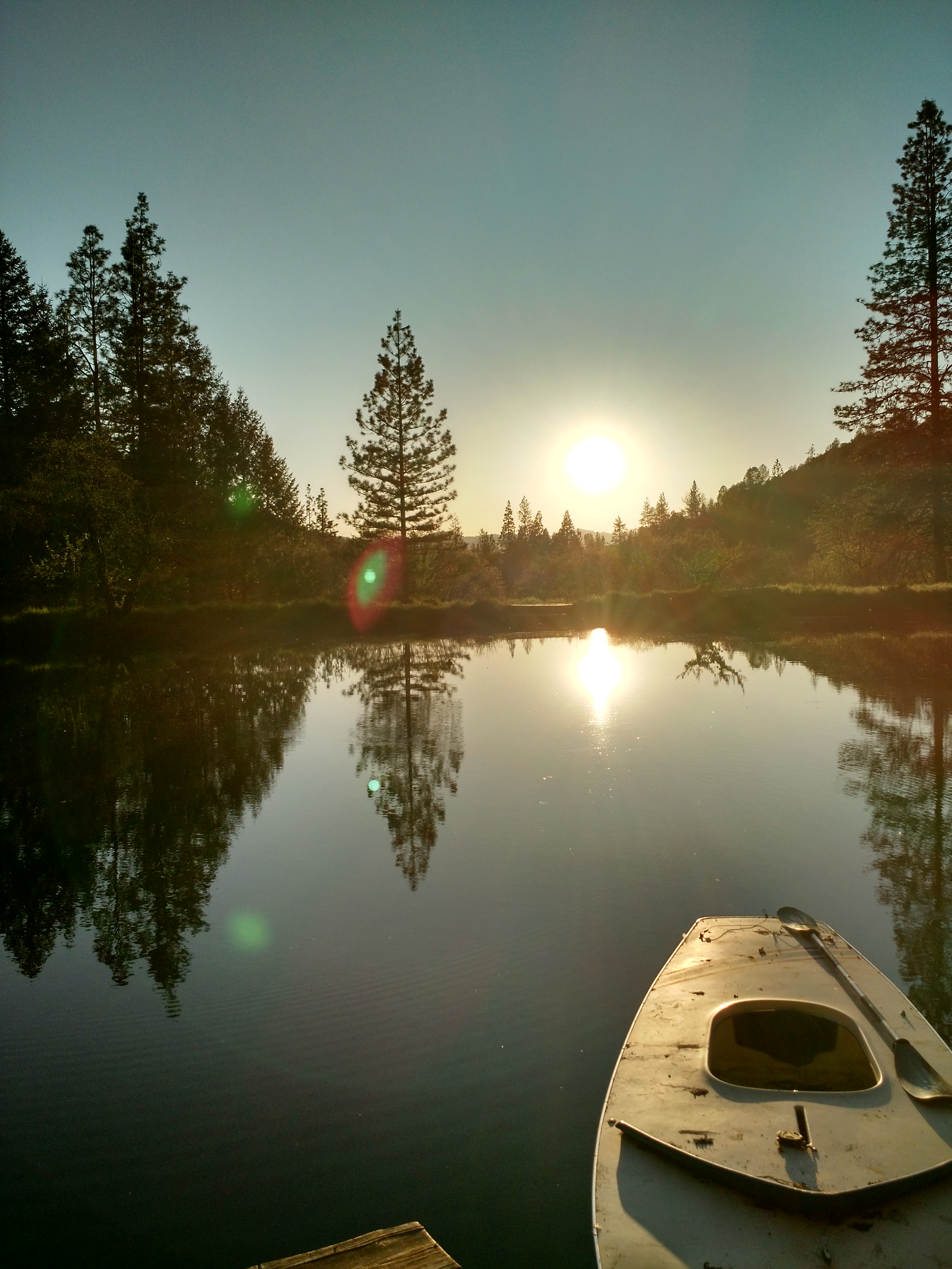
Weekend on the lake
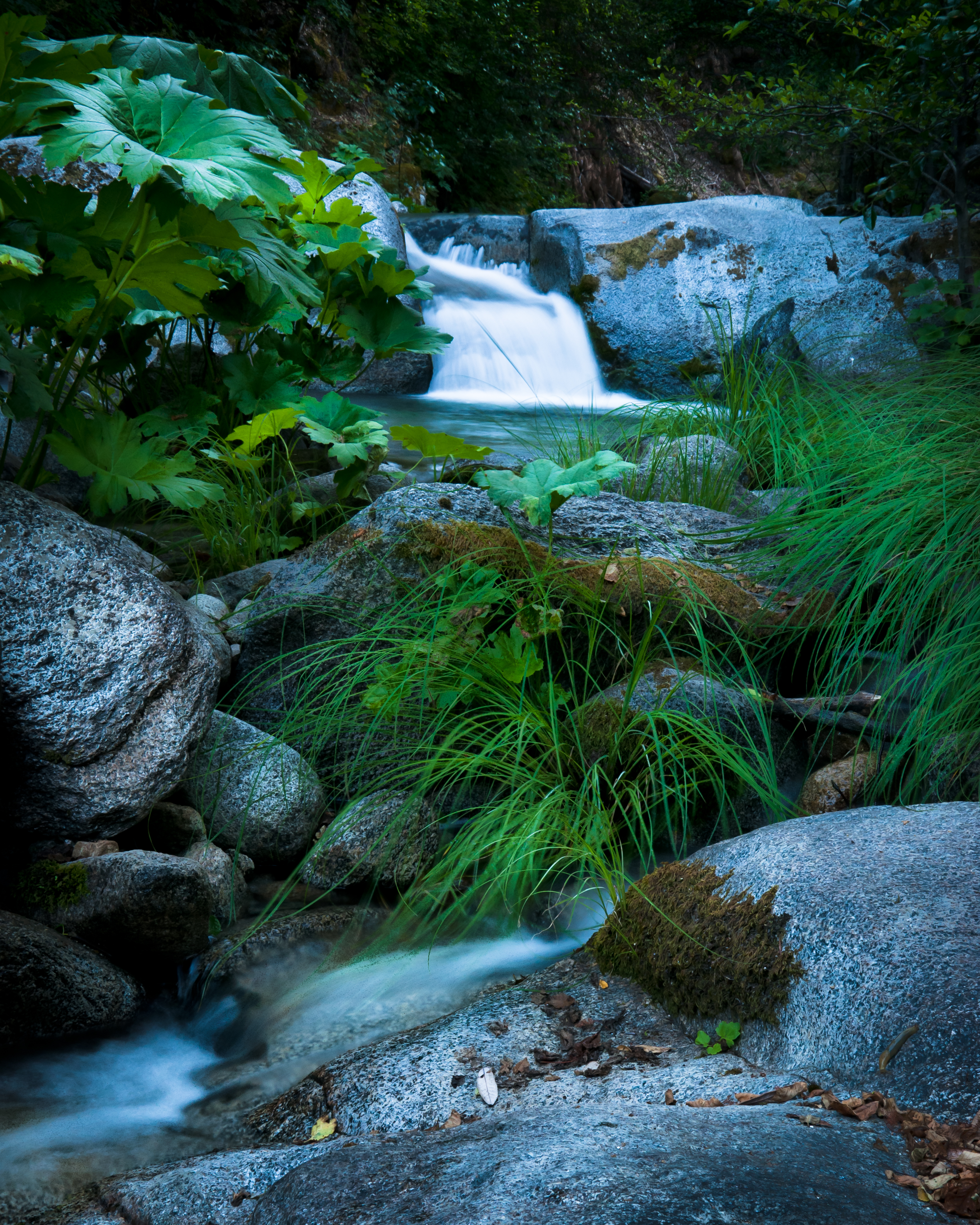
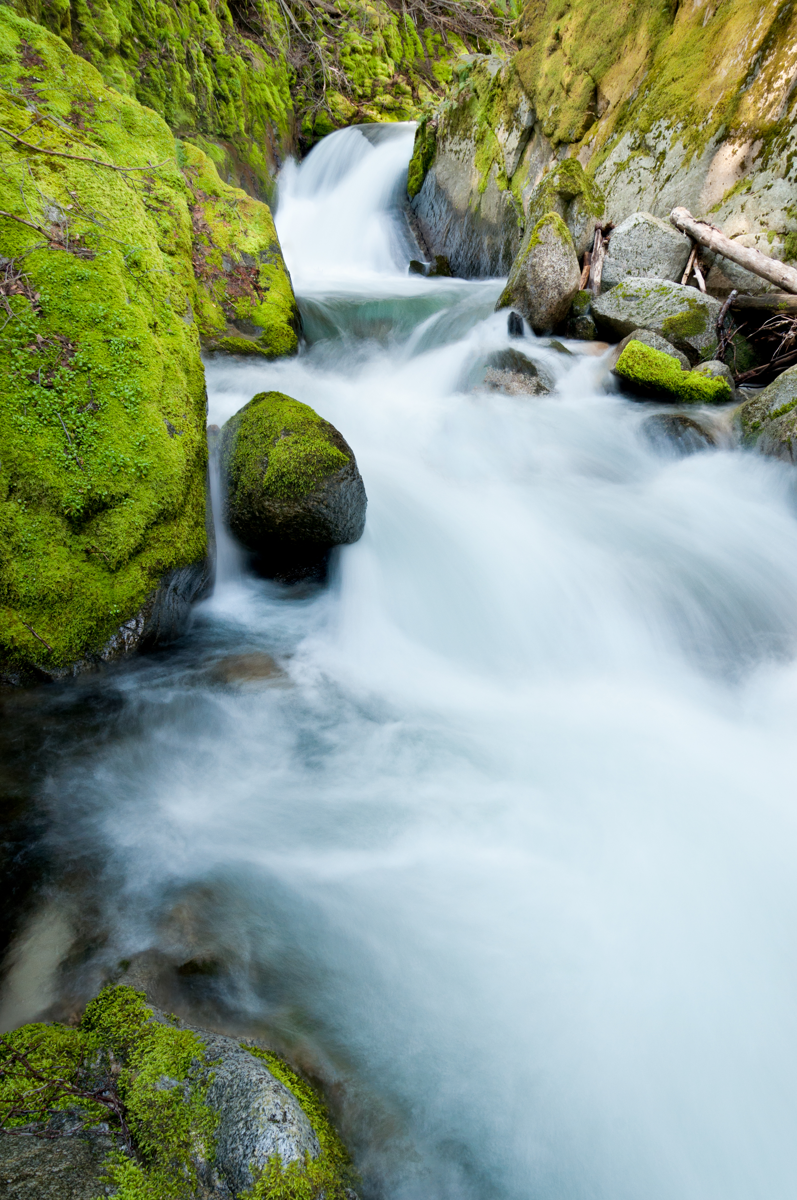
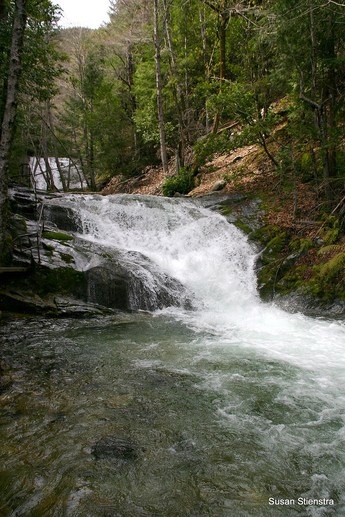
"Very" Lower Brandy Creek Falls
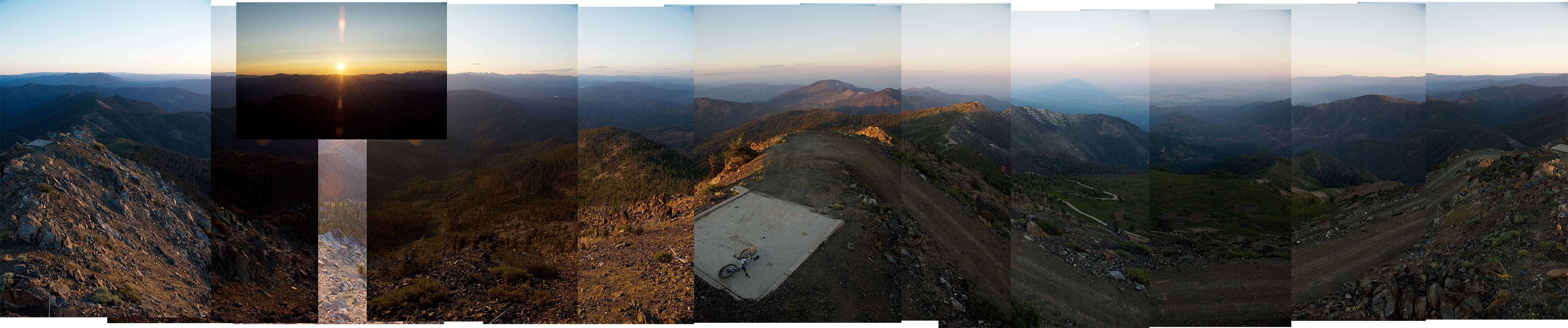
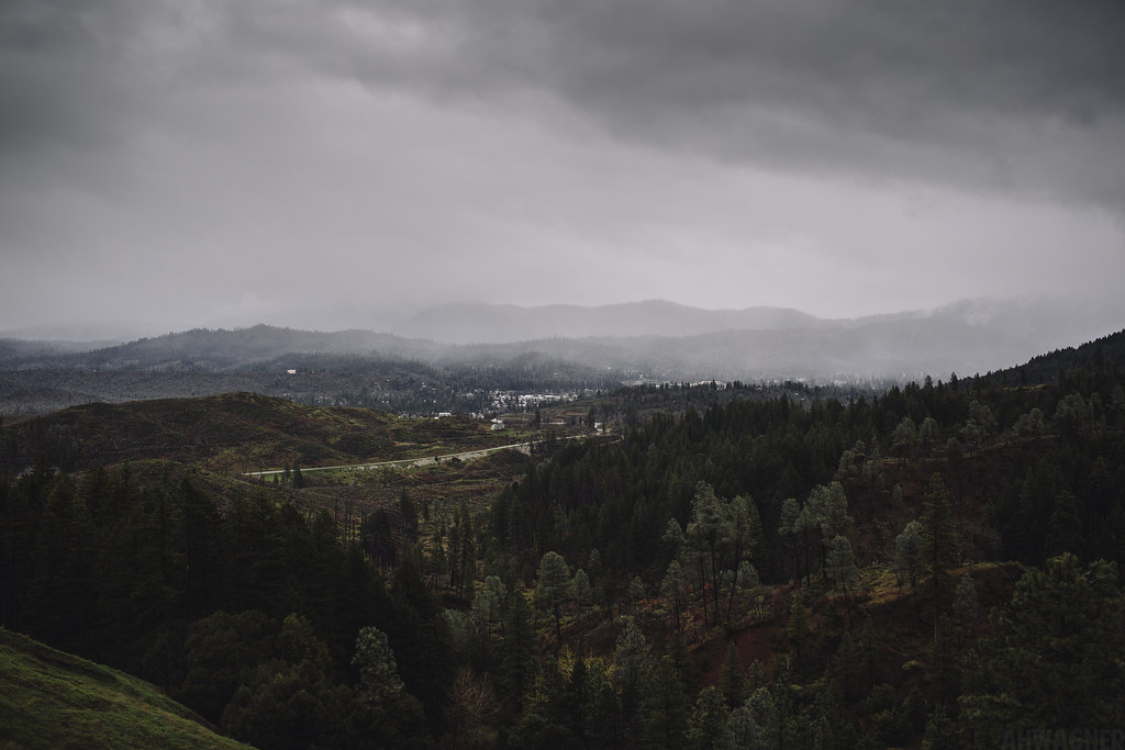
Bully Choop Panorama
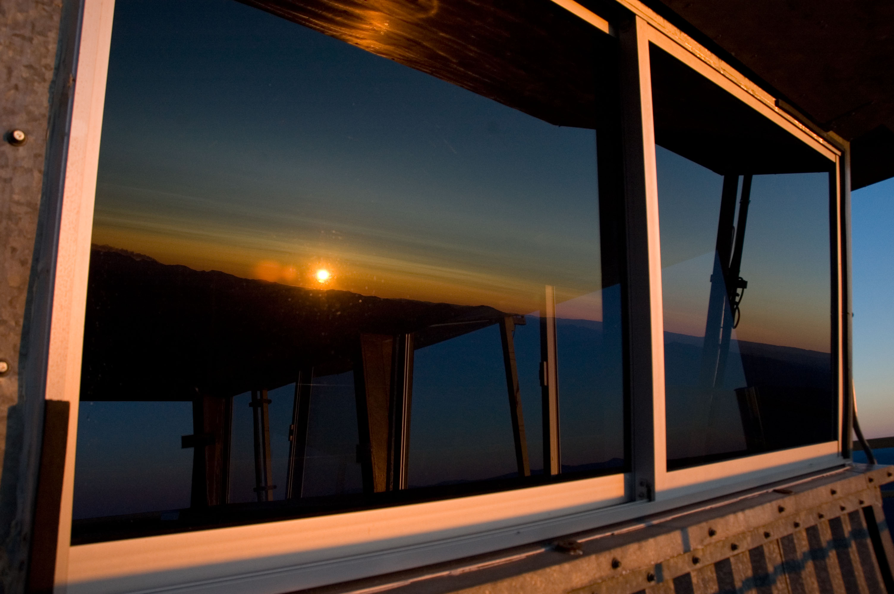
Steel Sunset
Exuberance
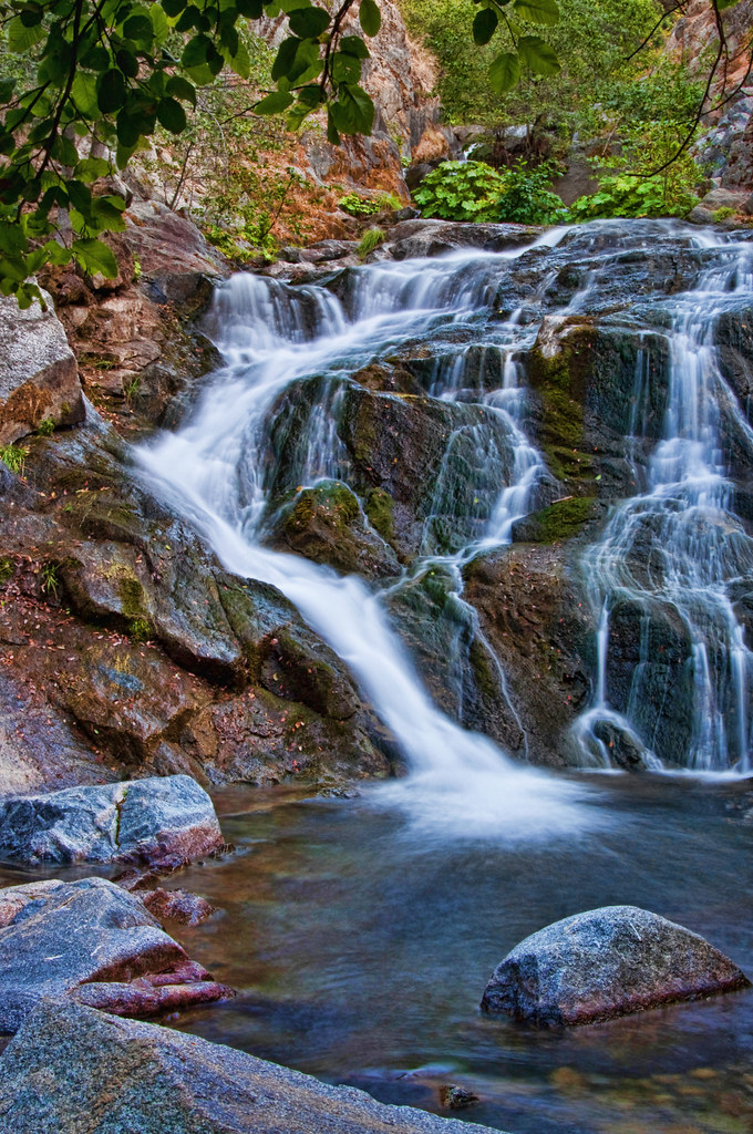
CrystalCreekFalls09-13T
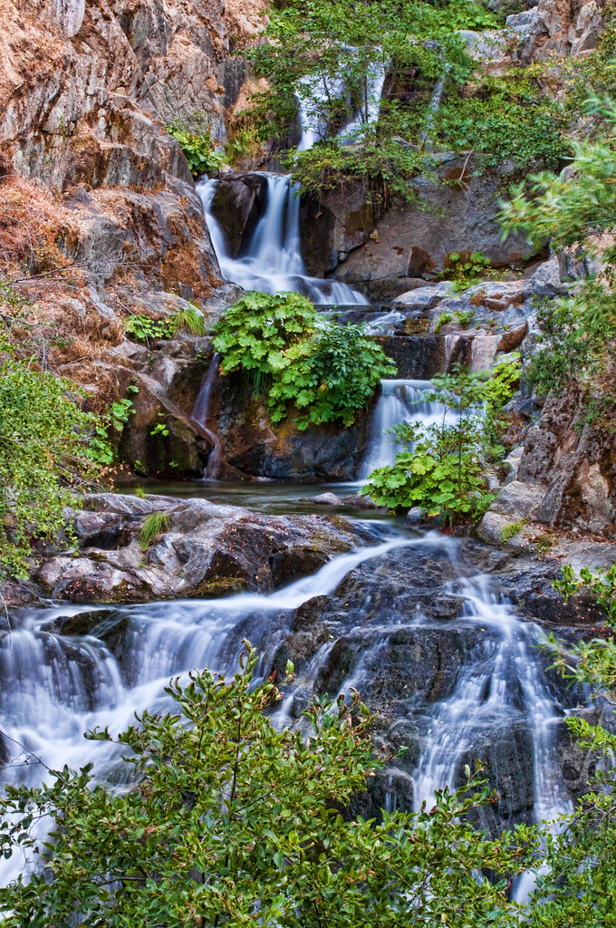
CrystalCreekFalls09-3T

Brandy Creek Falls [04.02.13]
Lewiston, California [03.31.13]
Brandy Creek
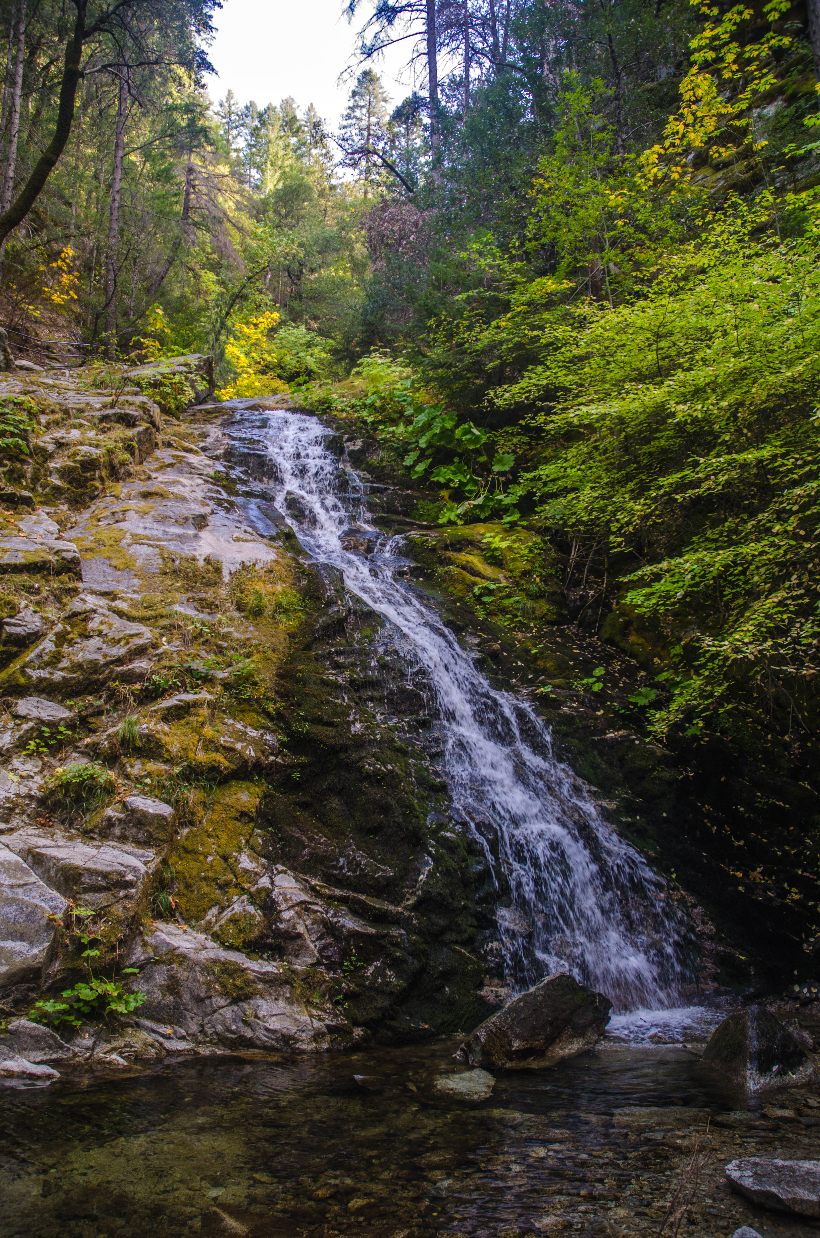
Whiskeytown Falls (Lower)
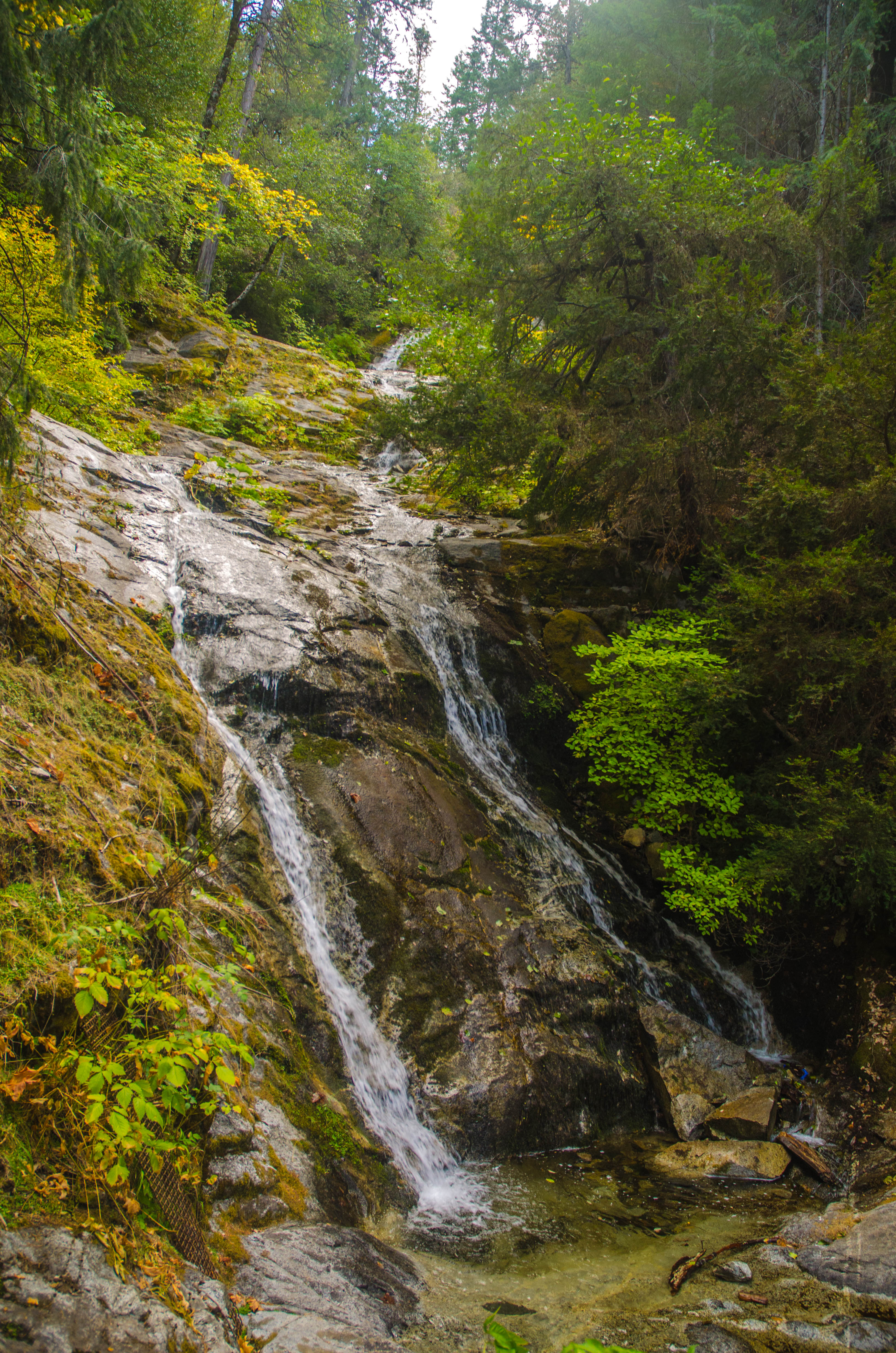
Whiskeytown Falls (Upper)
2015-07-12 10.22.20

2015-07-12 12.32.04

2015-07-12 16.17.31

2015-07-12 16.18.39

2015-07-12 16.17.53

2015-07-12 16.18.56

2015-07-12 16.19.25

2015-07-12 16.19.54

2015-07-12 16.20.08
2015-07-12 16.20.53

Crystal Creek Falls

Otter dog hunting some big game...

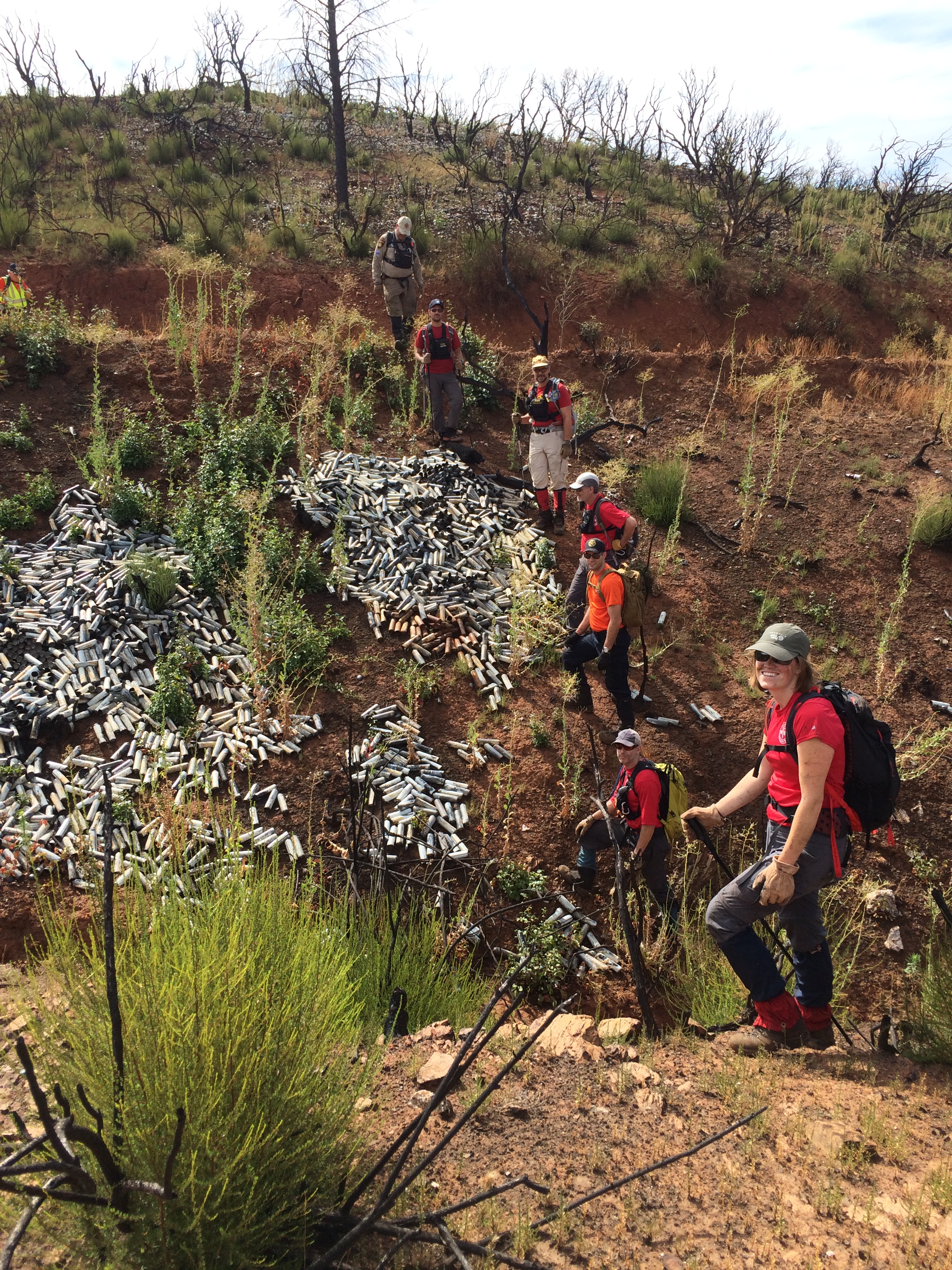
El Dorado Mine (Whiskeytown)

El Dorado Mine (Whiskeytown)

Whiskeytown State Park

Whiskeytown State Park

Whiskeytown State Park
アメリカ合衆国 〒 カリフォルニア州 ブリー・チョープ山の地図
別の場所を検索
近所の場所
Old Bully Choop Rd, Igo, CA アメリカ合衆国
アメリカ合衆国 カリフォルニア州 ルイストン
25 Rebel Rd, Lewiston, CA アメリカ合衆国
Thistle Ln, Douglas City, CA アメリカ合衆国
Ono, CA アメリカ合衆国
Ponderosa Pines, Lewiston, CA アメリカ合衆国
61 Chief George Meadow, Lewiston, CA アメリカ合衆国
11 Salmon Dr, Lewiston, CA アメリカ合衆国
Rush Creek Rd, Lewiston, CA アメリカ合衆国
Platina Rd, Igo, CA アメリカ合衆国
Wilson Mountain Rd, Douglas City, CA アメリカ合衆国
アメリカ合衆国 〒 カリフォルニア州 フレンチ・ガルチ
Main St, French Gulch, CA アメリカ合衆国
Trinity Dam Blvd, Lewiston, CA アメリカ合衆国Lakeview Terrace Resort, RV Park & Campground
S Fork Rd, Igo, CA アメリカ合衆国
アメリカ合衆国 カリフォルニア州 ダグラス・シティ
Steiner Flat Rd, Douglas City, CA アメリカ合衆国
アメリカ合衆国 〒 カリフォルニア州 ルイストン
Tucker Hill Rd, Douglas City, CA アメリカ合衆国
Whiskey Creek Rd, Shasta, CA アメリカ合衆国
最近の検索
- アメリカ合衆国 アラスカ州 レッド・ドッグ・マイン日の出日の入り時間
- Am bhf, Borken, ドイツアム・バーンホーフ日の出日の入り時間
- 4th St E, Sonoma, CA, USA日の出日の入り時間
- Oakland Ave, Williamsport, PA アメリカ合衆国日の出日の入り時間
- Via Roma, Pieranica CR, イタリアローマ通り日の出日の入り時間
- クロアチア 〒 ドゥブロブニク GradClock Tower of Dubrovnik日の出日の入り時間
- アルゼンチン チュブ州 トレリュー日の出日の入り時間
- Hartfords Bluff Cir, Mt Pleasant, SC アメリカ合衆国日の出日の入り時間
- 日本、熊本県熊本市北区日の出日の入り時間
- 中華人民共和国 福州市 平潭県 平潭島日の出日の入り時間