Brunswick Ave, Emporia, VA アメリカ合衆国日の出日の入り時間
Location: アメリカ合衆国 > バージニア州 > アメリカ合衆国 〒 バージニア州 エンポーリア >
時間帯:
America/New_York
現地時間:
2025-06-22 08:26:45
経度:
-77.5560085
緯度:
36.6874184
今日の日の出時刻:
05:52:12 AM
今日の日の入時刻:
08:32:36 PM
今日の日長:
14h 40m 24s
明日の日の出時刻:
05:52:28 AM
明日の日の入時刻:
08:32:45 PM
明日の日長:
14h 40m 17s
すべて表示する
| 日付 | 日出 | 日没 | 日長 |
|---|---|---|---|
| 2025年01月01日 | 07:22:44 AM | 05:05:56 PM | 9h 43m 12s |
| 2025年01月02日 | 07:22:51 AM | 05:06:44 PM | 9h 43m 53s |
| 2025年01月03日 | 07:22:55 AM | 05:07:34 PM | 9h 44m 39s |
| 2025年01月04日 | 07:22:58 AM | 05:08:26 PM | 9h 45m 28s |
| 2025年01月05日 | 07:22:58 AM | 05:09:18 PM | 9h 46m 20s |
| 2025年01月06日 | 07:22:56 AM | 05:10:11 PM | 9h 47m 15s |
| 2025年01月07日 | 07:22:53 AM | 05:11:06 PM | 9h 48m 13s |
| 2025年01月08日 | 07:22:47 AM | 05:12:01 PM | 9h 49m 14s |
| 2025年01月09日 | 07:22:40 AM | 05:12:57 PM | 9h 50m 17s |
| 2025年01月10日 | 07:22:30 AM | 05:13:54 PM | 9h 51m 24s |
| 2025年01月11日 | 07:22:18 AM | 05:14:52 PM | 9h 52m 34s |
| 2025年01月12日 | 07:22:05 AM | 05:15:51 PM | 9h 53m 46s |
| 2025年01月13日 | 07:21:49 AM | 05:16:50 PM | 9h 55m 1s |
| 2025年01月14日 | 07:21:32 AM | 05:17:50 PM | 9h 56m 18s |
| 2025年01月15日 | 07:21:12 AM | 05:18:51 PM | 9h 57m 39s |
| 2025年01月16日 | 07:20:51 AM | 05:19:52 PM | 9h 59m 1s |
| 2025年01月17日 | 07:20:27 AM | 05:20:54 PM | 10h 0m 27s |
| 2025年01月18日 | 07:20:02 AM | 05:21:56 PM | 10h 1m 54s |
| 2025年01月19日 | 07:19:35 AM | 05:22:59 PM | 10h 3m 24s |
| 2025年01月20日 | 07:19:05 AM | 05:24:02 PM | 10h 4m 57s |
| 2025年01月21日 | 07:18:34 AM | 05:25:05 PM | 10h 6m 31s |
| 2025年01月22日 | 07:18:01 AM | 05:26:09 PM | 10h 8m 8s |
| 2025年01月23日 | 07:17:27 AM | 05:27:13 PM | 10h 9m 46s |
| 2025年01月24日 | 07:16:50 AM | 05:28:17 PM | 10h 11m 27s |
| 2025年01月25日 | 07:16:12 AM | 05:29:21 PM | 10h 13m 9s |
| 2025年01月26日 | 07:15:32 AM | 05:30:25 PM | 10h 14m 53s |
| 2025年01月27日 | 07:14:50 AM | 05:31:30 PM | 10h 16m 40s |
| 2025年01月28日 | 07:14:07 AM | 05:32:35 PM | 10h 18m 28s |
| 2025年01月29日 | 07:13:22 AM | 05:33:39 PM | 10h 20m 17s |
| 2025年01月30日 | 07:12:35 AM | 05:34:44 PM | 10h 22m 9s |
| 2025年01月31日 | 07:11:47 AM | 05:35:48 PM | 10h 24m 1s |
| 2025年02月01日 | 07:10:57 AM | 05:36:53 PM | 10h 25m 56s |
| 2025年02月02日 | 07:10:05 AM | 05:37:58 PM | 10h 27m 53s |
| 2025年02月03日 | 07:09:12 AM | 05:39:02 PM | 10h 29m 50s |
| 2025年02月04日 | 07:08:18 AM | 05:40:06 PM | 10h 31m 48s |
| 2025年02月05日 | 07:07:22 AM | 05:41:10 PM | 10h 33m 48s |
| 2025年02月06日 | 07:06:25 AM | 05:42:14 PM | 10h 35m 49s |
| 2025年02月07日 | 07:05:26 AM | 05:43:18 PM | 10h 37m 52s |
| 2025年02月08日 | 07:04:26 AM | 05:44:22 PM | 10h 39m 56s |
| 2025年02月09日 | 07:03:24 AM | 05:45:25 PM | 10h 42m 1s |
| 2025年02月10日 | 07:02:21 AM | 05:46:28 PM | 10h 44m 7s |
| 2025年02月11日 | 07:01:17 AM | 05:47:31 PM | 10h 46m 14s |
| 2025年02月12日 | 07:00:12 AM | 05:48:34 PM | 10h 48m 22s |
| 2025年02月13日 | 06:59:05 AM | 05:49:36 PM | 10h 50m 31s |
| 2025年02月14日 | 06:57:58 AM | 05:50:38 PM | 10h 52m 40s |
| 2025年02月15日 | 06:56:49 AM | 05:51:40 PM | 10h 54m 51s |
| 2025年02月16日 | 06:55:39 AM | 05:52:41 PM | 10h 57m 2s |
| 2025年02月17日 | 06:54:28 AM | 05:53:42 PM | 10h 59m 14s |
| 2025年02月18日 | 06:53:16 AM | 05:54:43 PM | 11h 1m 27s |
| 2025年02月19日 | 06:52:03 AM | 05:55:44 PM | 11h 3m 41s |
| 2025年02月20日 | 06:50:49 AM | 05:56:44 PM | 11h 5m 55s |
| 2025年02月21日 | 06:49:34 AM | 05:57:44 PM | 11h 8m 10s |
| 2025年02月22日 | 06:48:18 AM | 05:58:43 PM | 11h 10m 25s |
| 2025年02月23日 | 06:47:01 AM | 05:59:42 PM | 11h 12m 41s |
| 2025年02月24日 | 06:45:44 AM | 06:00:41 PM | 11h 14m 57s |
| 2025年02月25日 | 06:44:25 AM | 06:01:40 PM | 11h 17m 15s |
| 2025年02月26日 | 06:43:06 AM | 06:02:38 PM | 11h 19m 32s |
| 2025年02月27日 | 06:41:46 AM | 06:03:36 PM | 11h 21m 50s |
| 2025年02月28日 | 06:40:25 AM | 06:04:33 PM | 11h 24m 8s |
| 2025年03月01日 | 06:39:04 AM | 06:05:31 PM | 11h 26m 27s |
| 2025年03月02日 | 06:37:42 AM | 06:06:28 PM | 11h 28m 46s |
| 2025年03月03日 | 06:36:20 AM | 06:07:24 PM | 11h 31m 4s |
| 2025年03月04日 | 06:34:56 AM | 06:08:21 PM | 11h 33m 25s |
| 2025年03月05日 | 06:33:33 AM | 06:09:17 PM | 11h 35m 44s |
| 2025年03月06日 | 06:32:08 AM | 06:10:13 PM | 11h 38m 5s |
| 2025年03月07日 | 06:30:43 AM | 06:11:08 PM | 11h 40m 25s |
| 2025年03月08日 | 06:29:18 AM | 06:12:03 PM | 11h 42m 45s |
| 2025年03月09日 | 07:27:56 AM | 07:12:56 PM | 11h 45m 0s |
| 2025年03月10日 | 07:26:30 AM | 07:13:51 PM | 11h 47m 21s |
| 2025年03月11日 | 07:25:04 AM | 07:14:45 PM | 11h 49m 41s |
| 2025年03月12日 | 07:23:37 AM | 07:15:40 PM | 11h 52m 3s |
| 2025年03月13日 | 07:22:10 AM | 07:16:34 PM | 11h 54m 24s |
| 2025年03月14日 | 07:20:42 AM | 07:17:28 PM | 11h 56m 46s |
| 2025年03月15日 | 07:19:15 AM | 07:18:21 PM | 11h 59m 6s |
| 2025年03月16日 | 07:17:47 AM | 07:19:15 PM | 12h 1m 28s |
| 2025年03月17日 | 07:16:19 AM | 07:20:08 PM | 12h 3m 49s |
| 2025年03月18日 | 07:14:50 AM | 07:21:01 PM | 12h 6m 11s |
| 2025年03月19日 | 07:13:22 AM | 07:21:54 PM | 12h 8m 32s |
| 2025年03月20日 | 07:11:54 AM | 07:22:47 PM | 12h 10m 53s |
| 2025年03月21日 | 07:10:25 AM | 07:23:40 PM | 12h 13m 15s |
| 2025年03月22日 | 07:08:57 AM | 07:24:32 PM | 12h 15m 35s |
| 2025年03月23日 | 07:07:28 AM | 07:25:25 PM | 12h 17m 57s |
| 2025年03月24日 | 07:05:59 AM | 07:26:17 PM | 12h 20m 18s |
| 2025年03月25日 | 07:04:31 AM | 07:27:09 PM | 12h 22m 38s |
| 2025年03月26日 | 07:03:03 AM | 07:28:02 PM | 12h 24m 59s |
| 2025年03月27日 | 07:01:34 AM | 07:28:54 PM | 12h 27m 20s |
| 2025年03月28日 | 07:00:06 AM | 07:29:46 PM | 12h 29m 40s |
| 2025年03月29日 | 06:58:38 AM | 07:30:38 PM | 12h 32m 0s |
| 2025年03月30日 | 06:57:10 AM | 07:31:30 PM | 12h 34m 20s |
| 2025年03月31日 | 06:55:43 AM | 07:32:22 PM | 12h 36m 39s |
| 2025年04月01日 | 06:54:15 AM | 07:33:14 PM | 12h 38m 59s |
| 2025年04月02日 | 06:52:48 AM | 07:34:06 PM | 12h 41m 18s |
| 2025年04月03日 | 06:51:21 AM | 07:34:58 PM | 12h 43m 37s |
| 2025年04月04日 | 06:49:55 AM | 07:35:50 PM | 12h 45m 55s |
| 2025年04月05日 | 06:48:29 AM | 07:36:41 PM | 12h 48m 12s |
| 2025年04月06日 | 06:47:03 AM | 07:37:33 PM | 12h 50m 30s |
| 2025年04月07日 | 06:45:38 AM | 07:38:25 PM | 12h 52m 47s |
| 2025年04月08日 | 06:44:13 AM | 07:39:17 PM | 12h 55m 4s |
| 2025年04月09日 | 06:42:49 AM | 07:40:09 PM | 12h 57m 20s |
| 2025年04月10日 | 06:41:25 AM | 07:41:02 PM | 12h 59m 37s |
| 2025年04月11日 | 06:40:02 AM | 07:41:54 PM | 13h 1m 52s |
| 2025年04月12日 | 06:38:40 AM | 07:42:46 PM | 13h 4m 6s |
| 2025年04月13日 | 06:37:18 AM | 07:43:38 PM | 13h 6m 20s |
| 2025年04月14日 | 06:35:56 AM | 07:44:30 PM | 13h 8m 34s |
| 2025年04月15日 | 06:34:35 AM | 07:45:23 PM | 13h 10m 48s |
| 2025年04月16日 | 06:33:15 AM | 07:46:15 PM | 13h 13m 0s |
| 2025年04月17日 | 06:31:56 AM | 07:47:07 PM | 13h 15m 11s |
| 2025年04月18日 | 06:30:38 AM | 07:48:00 PM | 13h 17m 22s |
| 2025年04月19日 | 06:29:20 AM | 07:48:52 PM | 13h 19m 32s |
| 2025年04月20日 | 06:28:03 AM | 07:49:45 PM | 13h 21m 42s |
| 2025年04月21日 | 06:26:47 AM | 07:50:38 PM | 13h 23m 51s |
| 2025年04月22日 | 06:25:32 AM | 07:51:30 PM | 13h 25m 58s |
| 2025年04月23日 | 06:24:17 AM | 07:52:23 PM | 13h 28m 6s |
| 2025年04月24日 | 06:23:04 AM | 07:53:15 PM | 13h 30m 11s |
| 2025年04月25日 | 06:21:52 AM | 07:54:08 PM | 13h 32m 16s |
| 2025年04月26日 | 06:20:40 AM | 07:55:01 PM | 13h 34m 21s |
| 2025年04月27日 | 06:19:30 AM | 07:55:54 PM | 13h 36m 24s |
| 2025年04月28日 | 06:18:21 AM | 07:56:46 PM | 13h 38m 25s |
| 2025年04月29日 | 06:17:12 AM | 07:57:39 PM | 13h 40m 27s |
| 2025年04月30日 | 06:16:05 AM | 07:58:31 PM | 13h 42m 26s |
| 2025年05月01日 | 06:14:59 AM | 07:59:24 PM | 13h 44m 25s |
| 2025年05月02日 | 06:13:54 AM | 08:00:16 PM | 13h 46m 22s |
| 2025年05月03日 | 06:12:51 AM | 08:01:09 PM | 13h 48m 18s |
| 2025年05月04日 | 06:11:48 AM | 08:02:01 PM | 13h 50m 13s |
| 2025年05月05日 | 06:10:47 AM | 08:02:53 PM | 13h 52m 6s |
| 2025年05月06日 | 06:09:47 AM | 08:03:45 PM | 13h 53m 58s |
| 2025年05月07日 | 06:08:48 AM | 08:04:37 PM | 13h 55m 49s |
| 2025年05月08日 | 06:07:51 AM | 08:05:29 PM | 13h 57m 38s |
| 2025年05月09日 | 06:06:55 AM | 08:06:20 PM | 13h 59m 25s |
| 2025年05月10日 | 06:06:00 AM | 08:07:12 PM | 14h 1m 12s |
| 2025年05月11日 | 06:05:07 AM | 08:08:03 PM | 14h 2m 56s |
| 2025年05月12日 | 06:04:15 AM | 08:08:53 PM | 14h 4m 38s |
| 2025年05月13日 | 06:03:25 AM | 08:09:44 PM | 14h 6m 19s |
| 2025年05月14日 | 06:02:36 AM | 08:10:34 PM | 14h 7m 58s |
| 2025年05月15日 | 06:01:49 AM | 08:11:23 PM | 14h 9m 34s |
| 2025年05月16日 | 06:01:03 AM | 08:12:13 PM | 14h 11m 10s |
| 2025年05月17日 | 06:00:19 AM | 08:13:02 PM | 14h 12m 43s |
| 2025年05月18日 | 05:59:36 AM | 08:13:50 PM | 14h 14m 14s |
| 2025年05月19日 | 05:58:55 AM | 08:14:38 PM | 14h 15m 43s |
| 2025年05月20日 | 05:58:15 AM | 08:15:25 PM | 14h 17m 10s |
| 2025年05月21日 | 05:57:37 AM | 08:16:12 PM | 14h 18m 35s |
| 2025年05月22日 | 05:57:01 AM | 08:16:58 PM | 14h 19m 57s |
| 2025年05月23日 | 05:56:26 AM | 08:17:44 PM | 14h 21m 18s |
| 2025年05月24日 | 05:55:53 AM | 08:18:29 PM | 14h 22m 36s |
| 2025年05月25日 | 05:55:22 AM | 08:19:13 PM | 14h 23m 51s |
| 2025年05月26日 | 05:54:52 AM | 08:19:57 PM | 14h 25m 5s |
| 2025年05月27日 | 05:54:24 AM | 08:20:40 PM | 14h 26m 16s |
| 2025年05月28日 | 05:53:58 AM | 08:21:22 PM | 14h 27m 24s |
| 2025年05月29日 | 05:53:34 AM | 08:22:03 PM | 14h 28m 29s |
| 2025年05月30日 | 05:53:11 AM | 08:22:43 PM | 14h 29m 32s |
| 2025年05月31日 | 05:52:50 AM | 08:23:22 PM | 14h 30m 32s |
| 2025年06月01日 | 05:52:30 AM | 08:24:01 PM | 14h 31m 31s |
| 2025年06月02日 | 05:52:13 AM | 08:24:38 PM | 14h 32m 25s |
| 2025年06月03日 | 05:51:57 AM | 08:25:14 PM | 14h 33m 17s |
| 2025年06月04日 | 05:51:43 AM | 08:25:49 PM | 14h 34m 6s |
| 2025年06月05日 | 05:51:31 AM | 08:26:24 PM | 14h 34m 53s |
| 2025年06月06日 | 05:51:20 AM | 08:26:57 PM | 14h 35m 37s |
| 2025年06月07日 | 05:51:11 AM | 08:27:28 PM | 14h 36m 17s |
| 2025年06月08日 | 05:51:04 AM | 08:27:59 PM | 14h 36m 55s |
| 2025年06月09日 | 05:50:58 AM | 08:28:28 PM | 14h 37m 30s |
| 2025年06月10日 | 05:50:55 AM | 08:28:56 PM | 14h 38m 1s |
| 2025年06月11日 | 05:50:53 AM | 08:29:23 PM | 14h 38m 30s |
| 2025年06月12日 | 05:50:52 AM | 08:29:48 PM | 14h 38m 56s |
| 2025年06月13日 | 05:50:54 AM | 08:30:12 PM | 14h 39m 18s |
| 2025年06月14日 | 05:50:57 AM | 08:30:35 PM | 14h 39m 38s |
| 2025年06月15日 | 05:51:02 AM | 08:30:56 PM | 14h 39m 54s |
| 2025年06月16日 | 05:51:08 AM | 08:31:16 PM | 14h 40m 8s |
| 2025年06月17日 | 05:51:16 AM | 08:31:34 PM | 14h 40m 18s |
| 2025年06月18日 | 05:51:26 AM | 08:31:50 PM | 14h 40m 24s |
| 2025年06月19日 | 05:51:37 AM | 08:32:05 PM | 14h 40m 28s |
| 2025年06月20日 | 05:51:50 AM | 08:32:19 PM | 14h 40m 29s |
| 2025年06月21日 | 05:52:04 AM | 08:32:31 PM | 14h 40m 27s |
| 2025年06月22日 | 05:52:20 AM | 08:32:41 PM | 14h 40m 21s |
| 2025年06月23日 | 05:52:37 AM | 08:32:49 PM | 14h 40m 12s |
| 2025年06月24日 | 05:52:56 AM | 08:32:56 PM | 14h 40m 0s |
| 2025年06月25日 | 05:53:16 AM | 08:33:01 PM | 14h 39m 45s |
| 2025年06月26日 | 05:53:37 AM | 08:33:05 PM | 14h 39m 28s |
| 2025年06月27日 | 05:54:00 AM | 08:33:06 PM | 14h 39m 6s |
| 2025年06月28日 | 05:54:24 AM | 08:33:06 PM | 14h 38m 42s |
| 2025年06月29日 | 05:54:50 AM | 08:33:05 PM | 14h 38m 15s |
| 2025年06月30日 | 05:55:17 AM | 08:33:01 PM | 14h 37m 44s |
| 2025年07月01日 | 05:55:45 AM | 08:32:56 PM | 14h 37m 11s |
| 2025年07月02日 | 05:56:14 AM | 08:32:49 PM | 14h 36m 35s |
| 2025年07月03日 | 05:56:44 AM | 08:32:40 PM | 14h 35m 56s |
| 2025年07月04日 | 05:57:16 AM | 08:32:29 PM | 14h 35m 13s |
| 2025年07月05日 | 05:57:48 AM | 08:32:17 PM | 14h 34m 29s |
| 2025年07月06日 | 05:58:22 AM | 08:32:03 PM | 14h 33m 41s |
| 2025年07月07日 | 05:58:57 AM | 08:31:47 PM | 14h 32m 50s |
| 2025年07月08日 | 05:59:32 AM | 08:31:29 PM | 14h 31m 57s |
| 2025年07月09日 | 06:00:09 AM | 08:31:09 PM | 14h 31m 0s |
| 2025年07月10日 | 06:00:46 AM | 08:30:48 PM | 14h 30m 2s |
| 2025年07月11日 | 06:01:25 AM | 08:30:25 PM | 14h 29m 0s |
| 2025年07月12日 | 06:02:04 AM | 08:30:00 PM | 14h 27m 56s |
| 2025年07月13日 | 06:02:44 AM | 08:29:33 PM | 14h 26m 49s |
| 2025年07月14日 | 06:03:24 AM | 08:29:05 PM | 14h 25m 41s |
| 2025年07月15日 | 06:04:06 AM | 08:28:35 PM | 14h 24m 29s |
| 2025年07月16日 | 06:04:48 AM | 08:28:03 PM | 14h 23m 15s |
| 2025年07月17日 | 06:05:31 AM | 08:27:30 PM | 14h 21m 59s |
| 2025年07月18日 | 06:06:14 AM | 08:26:54 PM | 14h 20m 40s |
| 2025年07月19日 | 06:06:58 AM | 08:26:18 PM | 14h 19m 20s |
| 2025年07月20日 | 06:07:42 AM | 08:25:39 PM | 14h 17m 57s |
| 2025年07月21日 | 06:08:27 AM | 08:24:59 PM | 14h 16m 32s |
| 2025年07月22日 | 06:09:13 AM | 08:24:17 PM | 14h 15m 4s |
| 2025年07月23日 | 06:09:58 AM | 08:23:34 PM | 14h 13m 36s |
| 2025年07月24日 | 06:10:45 AM | 08:22:49 PM | 14h 12m 4s |
| 2025年07月25日 | 06:11:31 AM | 08:22:02 PM | 14h 10m 31s |
| 2025年07月26日 | 06:12:18 AM | 08:21:14 PM | 14h 8m 56s |
| 2025年07月27日 | 06:13:05 AM | 08:20:24 PM | 14h 7m 19s |
| 2025年07月28日 | 06:13:53 AM | 08:19:33 PM | 14h 5m 40s |
| 2025年07月29日 | 06:14:41 AM | 08:18:41 PM | 14h 4m 0s |
| 2025年07月30日 | 06:15:29 AM | 08:17:47 PM | 14h 2m 18s |
| 2025年07月31日 | 06:16:17 AM | 08:16:51 PM | 14h 0m 34s |
| 2025年08月01日 | 06:17:06 AM | 08:15:54 PM | 13h 58m 48s |
| 2025年08月02日 | 06:17:54 AM | 08:14:56 PM | 13h 57m 2s |
| 2025年08月03日 | 06:18:43 AM | 08:13:56 PM | 13h 55m 13s |
| 2025年08月04日 | 06:19:32 AM | 08:12:55 PM | 13h 53m 23s |
| 2025年08月05日 | 06:20:21 AM | 08:11:53 PM | 13h 51m 32s |
| 2025年08月06日 | 06:21:10 AM | 08:10:50 PM | 13h 49m 40s |
| 2025年08月07日 | 06:21:59 AM | 08:09:45 PM | 13h 47m 46s |
| 2025年08月08日 | 06:22:48 AM | 08:08:39 PM | 13h 45m 51s |
| 2025年08月09日 | 06:23:37 AM | 08:07:32 PM | 13h 43m 55s |
| 2025年08月10日 | 06:24:27 AM | 08:06:24 PM | 13h 41m 57s |
| 2025年08月11日 | 06:25:16 AM | 08:05:14 PM | 13h 39m 58s |
| 2025年08月12日 | 06:26:05 AM | 08:04:04 PM | 13h 37m 59s |
| 2025年08月13日 | 06:26:54 AM | 08:02:52 PM | 13h 35m 58s |
| 2025年08月14日 | 06:27:43 AM | 08:01:39 PM | 13h 33m 56s |
| 2025年08月15日 | 06:28:32 AM | 08:00:26 PM | 13h 31m 54s |
| 2025年08月16日 | 06:29:21 AM | 07:59:11 PM | 13h 29m 50s |
| 2025年08月17日 | 06:30:10 AM | 07:57:56 PM | 13h 27m 46s |
| 2025年08月18日 | 06:30:59 AM | 07:56:39 PM | 13h 25m 40s |
| 2025年08月19日 | 06:31:48 AM | 07:55:22 PM | 13h 23m 34s |
| 2025年08月20日 | 06:32:37 AM | 07:54:03 PM | 13h 21m 26s |
| 2025年08月21日 | 06:33:26 AM | 07:52:44 PM | 13h 19m 18s |
| 2025年08月22日 | 06:34:14 AM | 07:51:24 PM | 13h 17m 10s |
| 2025年08月23日 | 06:35:03 AM | 07:50:04 PM | 13h 15m 1s |
| 2025年08月24日 | 06:35:51 AM | 07:48:42 PM | 13h 12m 51s |
| 2025年08月25日 | 06:36:40 AM | 07:47:20 PM | 13h 10m 40s |
| 2025年08月26日 | 06:37:28 AM | 07:45:57 PM | 13h 8m 29s |
| 2025年08月27日 | 06:38:16 AM | 07:44:33 PM | 13h 6m 17s |
| 2025年08月28日 | 06:39:04 AM | 07:43:09 PM | 13h 4m 5s |
| 2025年08月29日 | 06:39:53 AM | 07:41:44 PM | 13h 1m 51s |
| 2025年08月30日 | 06:40:41 AM | 07:40:19 PM | 12h 59m 38s |
| 2025年08月31日 | 06:41:28 AM | 07:38:53 PM | 12h 57m 25s |
| 2025年09月01日 | 06:42:16 AM | 07:37:27 PM | 12h 55m 11s |
| 2025年09月02日 | 06:43:04 AM | 07:36:00 PM | 12h 52m 56s |
| 2025年09月03日 | 06:43:52 AM | 07:34:32 PM | 12h 50m 40s |
| 2025年09月04日 | 06:44:40 AM | 07:33:05 PM | 12h 48m 25s |
| 2025年09月05日 | 06:45:27 AM | 07:31:36 PM | 12h 46m 9s |
| 2025年09月06日 | 06:46:15 AM | 07:30:08 PM | 12h 43m 53s |
| 2025年09月07日 | 06:47:03 AM | 07:28:39 PM | 12h 41m 36s |
| 2025年09月08日 | 06:47:50 AM | 07:27:10 PM | 12h 39m 20s |
| 2025年09月09日 | 06:48:38 AM | 07:25:40 PM | 12h 37m 2s |
| 2025年09月10日 | 06:49:25 AM | 07:24:10 PM | 12h 34m 45s |
| 2025年09月11日 | 06:50:13 AM | 07:22:40 PM | 12h 32m 27s |
| 2025年09月12日 | 06:51:01 AM | 07:21:10 PM | 12h 30m 9s |
| 2025年09月13日 | 06:51:48 AM | 07:19:39 PM | 12h 27m 51s |
| 2025年09月14日 | 06:52:36 AM | 07:18:09 PM | 12h 25m 33s |
| 2025年09月15日 | 06:53:24 AM | 07:16:38 PM | 12h 23m 14s |
| 2025年09月16日 | 06:54:12 AM | 07:15:07 PM | 12h 20m 55s |
| 2025年09月17日 | 06:55:00 AM | 07:13:37 PM | 12h 18m 37s |
| 2025年09月18日 | 06:55:48 AM | 07:12:06 PM | 12h 16m 18s |
| 2025年09月19日 | 06:56:36 AM | 07:10:35 PM | 12h 13m 59s |
| 2025年09月20日 | 06:57:24 AM | 07:09:04 PM | 12h 11m 40s |
| 2025年09月21日 | 06:58:12 AM | 07:07:33 PM | 12h 9m 21s |
| 2025年09月22日 | 06:59:01 AM | 07:06:03 PM | 12h 7m 2s |
| 2025年09月23日 | 06:59:49 AM | 07:04:32 PM | 12h 4m 43s |
| 2025年09月24日 | 07:00:38 AM | 07:03:02 PM | 12h 2m 24s |
| 2025年09月25日 | 07:01:27 AM | 07:01:32 PM | 12h 0m 5s |
| 2025年09月26日 | 07:02:16 AM | 07:00:02 PM | 11h 57m 46s |
| 2025年09月27日 | 07:03:06 AM | 06:58:32 PM | 11h 55m 26s |
| 2025年09月28日 | 07:03:55 AM | 06:57:02 PM | 11h 53m 7s |
| 2025年09月29日 | 07:04:45 AM | 06:55:33 PM | 11h 50m 48s |
| 2025年09月30日 | 07:05:35 AM | 06:54:04 PM | 11h 48m 29s |
| 2025年10月01日 | 07:06:25 AM | 06:52:36 PM | 11h 46m 11s |
| 2025年10月02日 | 07:07:16 AM | 06:51:08 PM | 11h 43m 52s |
| 2025年10月03日 | 07:08:07 AM | 06:49:40 PM | 11h 41m 33s |
| 2025年10月04日 | 07:08:58 AM | 06:48:12 PM | 11h 39m 14s |
| 2025年10月05日 | 07:09:49 AM | 06:46:46 PM | 11h 36m 57s |
| 2025年10月06日 | 07:10:40 AM | 06:45:19 PM | 11h 34m 39s |
| 2025年10月07日 | 07:11:32 AM | 06:43:54 PM | 11h 32m 22s |
| 2025年10月08日 | 07:12:24 AM | 06:42:28 PM | 11h 30m 4s |
| 2025年10月09日 | 07:13:17 AM | 06:41:04 PM | 11h 27m 47s |
| 2025年10月10日 | 07:14:10 AM | 06:39:40 PM | 11h 25m 30s |
| 2025年10月11日 | 07:15:03 AM | 06:38:16 PM | 11h 23m 13s |
| 2025年10月12日 | 07:15:56 AM | 06:36:54 PM | 11h 20m 58s |
| 2025年10月13日 | 07:16:50 AM | 06:35:32 PM | 11h 18m 42s |
| 2025年10月14日 | 07:17:44 AM | 06:34:11 PM | 11h 16m 27s |
| 2025年10月15日 | 07:18:39 AM | 06:32:50 PM | 11h 14m 11s |
| 2025年10月16日 | 07:19:34 AM | 06:31:31 PM | 11h 11m 57s |
| 2025年10月17日 | 07:20:29 AM | 06:30:12 PM | 11h 9m 43s |
| 2025年10月18日 | 07:21:24 AM | 06:28:54 PM | 11h 7m 30s |
| 2025年10月19日 | 07:22:20 AM | 06:27:37 PM | 11h 5m 17s |
| 2025年10月20日 | 07:23:17 AM | 06:26:21 PM | 11h 3m 4s |
| 2025年10月21日 | 07:24:13 AM | 06:25:06 PM | 11h 0m 53s |
| 2025年10月22日 | 07:25:10 AM | 06:23:52 PM | 10h 58m 42s |
| 2025年10月23日 | 07:26:07 AM | 06:22:40 PM | 10h 56m 33s |
| 2025年10月24日 | 07:27:05 AM | 06:21:28 PM | 10h 54m 23s |
| 2025年10月25日 | 07:28:03 AM | 06:20:17 PM | 10h 52m 14s |
| 2025年10月26日 | 07:29:01 AM | 06:19:07 PM | 10h 50m 6s |
| 2025年10月27日 | 07:30:00 AM | 06:17:59 PM | 10h 47m 59s |
| 2025年10月28日 | 07:30:59 AM | 06:16:52 PM | 10h 45m 53s |
| 2025年10月29日 | 07:31:58 AM | 06:15:46 PM | 10h 43m 48s |
| 2025年10月30日 | 07:32:58 AM | 06:14:41 PM | 10h 41m 43s |
| 2025年10月31日 | 07:33:58 AM | 06:13:38 PM | 10h 39m 40s |
| 2025年11月01日 | 07:34:58 AM | 06:12:36 PM | 10h 37m 38s |
| 2025年11月02日 | 06:36:00 AM | 05:11:32 PM | 10h 35m 32s |
| 2025年11月03日 | 06:37:01 AM | 05:10:33 PM | 10h 33m 32s |
| 2025年11月04日 | 06:38:02 AM | 05:09:35 PM | 10h 31m 33s |
| 2025年11月05日 | 06:39:03 AM | 05:08:39 PM | 10h 29m 36s |
| 2025年11月06日 | 06:40:04 AM | 05:07:44 PM | 10h 27m 40s |
| 2025年11月07日 | 06:41:05 AM | 05:06:51 PM | 10h 25m 46s |
| 2025年11月08日 | 06:42:07 AM | 05:05:59 PM | 10h 23m 52s |
| 2025年11月09日 | 06:43:08 AM | 05:05:09 PM | 10h 22m 1s |
| 2025年11月10日 | 06:44:10 AM | 05:04:21 PM | 10h 20m 11s |
| 2025年11月11日 | 06:45:12 AM | 05:03:34 PM | 10h 18m 22s |
| 2025年11月12日 | 06:46:13 AM | 05:02:48 PM | 10h 16m 35s |
| 2025年11月13日 | 06:47:15 AM | 05:02:05 PM | 10h 14m 50s |
| 2025年11月14日 | 06:48:17 AM | 05:01:23 PM | 10h 13m 6s |
| 2025年11月15日 | 06:49:18 AM | 05:00:43 PM | 10h 11m 25s |
| 2025年11月16日 | 06:50:20 AM | 05:00:05 PM | 10h 9m 45s |
| 2025年11月17日 | 06:51:21 AM | 04:59:29 PM | 10h 8m 8s |
| 2025年11月18日 | 06:52:22 AM | 04:58:54 PM | 10h 6m 32s |
| 2025年11月19日 | 06:53:23 AM | 04:58:21 PM | 10h 4m 58s |
| 2025年11月20日 | 06:54:24 AM | 04:57:50 PM | 10h 3m 26s |
| 2025年11月21日 | 06:55:24 AM | 04:57:22 PM | 10h 1m 58s |
| 2025年11月22日 | 06:56:24 AM | 04:56:55 PM | 10h 0m 31s |
| 2025年11月23日 | 06:57:24 AM | 04:56:30 PM | 9h 59m 6s |
| 2025年11月24日 | 06:58:23 AM | 04:56:06 PM | 9h 57m 43s |
| 2025年11月25日 | 06:59:21 AM | 04:55:45 PM | 9h 56m 24s |
| 2025年11月26日 | 07:00:20 AM | 04:55:26 PM | 9h 55m 6s |
| 2025年11月27日 | 07:01:17 AM | 04:55:09 PM | 9h 53m 52s |
| 2025年11月28日 | 07:02:14 AM | 04:54:54 PM | 9h 52m 40s |
| 2025年11月29日 | 07:03:10 AM | 04:54:41 PM | 9h 51m 31s |
| 2025年11月30日 | 07:04:06 AM | 04:54:30 PM | 9h 50m 24s |
| 2025年12月01日 | 07:05:01 AM | 04:54:21 PM | 9h 49m 20s |
| 2025年12月02日 | 07:05:55 AM | 04:54:14 PM | 9h 48m 19s |
| 2025年12月03日 | 07:06:48 AM | 04:54:09 PM | 9h 47m 21s |
| 2025年12月04日 | 07:07:40 AM | 04:54:06 PM | 9h 46m 26s |
| 2025年12月05日 | 07:08:31 AM | 04:54:05 PM | 9h 45m 34s |
| 2025年12月06日 | 07:09:22 AM | 04:54:07 PM | 9h 44m 45s |
| 2025年12月07日 | 07:10:11 AM | 04:54:10 PM | 9h 43m 59s |
| 2025年12月08日 | 07:10:59 AM | 04:54:15 PM | 9h 43m 16s |
| 2025年12月09日 | 07:11:46 AM | 04:54:23 PM | 9h 42m 37s |
| 2025年12月10日 | 07:12:31 AM | 04:54:32 PM | 9h 42m 1s |
| 2025年12月11日 | 07:13:16 AM | 04:54:43 PM | 9h 41m 27s |
| 2025年12月12日 | 07:13:59 AM | 04:54:57 PM | 9h 40m 58s |
| 2025年12月13日 | 07:14:40 AM | 04:55:12 PM | 9h 40m 32s |
| 2025年12月14日 | 07:15:21 AM | 04:55:29 PM | 9h 40m 8s |
| 2025年12月15日 | 07:16:00 AM | 04:55:49 PM | 9h 39m 49s |
| 2025年12月16日 | 07:16:37 AM | 04:56:10 PM | 9h 39m 33s |
| 2025年12月17日 | 07:17:13 AM | 04:56:33 PM | 9h 39m 20s |
| 2025年12月18日 | 07:17:47 AM | 04:56:58 PM | 9h 39m 11s |
| 2025年12月19日 | 07:18:20 AM | 04:57:25 PM | 9h 39m 5s |
| 2025年12月20日 | 07:18:51 AM | 04:57:53 PM | 9h 39m 2s |
| 2025年12月21日 | 07:19:20 AM | 04:58:24 PM | 9h 39m 4s |
| 2025年12月22日 | 07:19:48 AM | 04:58:56 PM | 9h 39m 8s |
| 2025年12月23日 | 07:20:13 AM | 04:59:30 PM | 9h 39m 17s |
| 2025年12月24日 | 07:20:37 AM | 05:00:05 PM | 9h 39m 28s |
| 2025年12月25日 | 07:21:00 AM | 05:00:42 PM | 9h 39m 42s |
| 2025年12月26日 | 07:21:20 AM | 05:01:21 PM | 9h 40m 1s |
| 2025年12月27日 | 07:21:39 AM | 05:02:01 PM | 9h 40m 22s |
| 2025年12月28日 | 07:21:55 AM | 05:02:43 PM | 9h 40m 48s |
| 2025年12月29日 | 07:22:10 AM | 05:03:26 PM | 9h 41m 16s |
| 2025年12月30日 | 07:22:23 AM | 05:04:11 PM | 9h 41m 48s |
| 2025年12月31日 | 07:22:33 AM | 05:04:57 PM | 9h 42m 24s |
写真
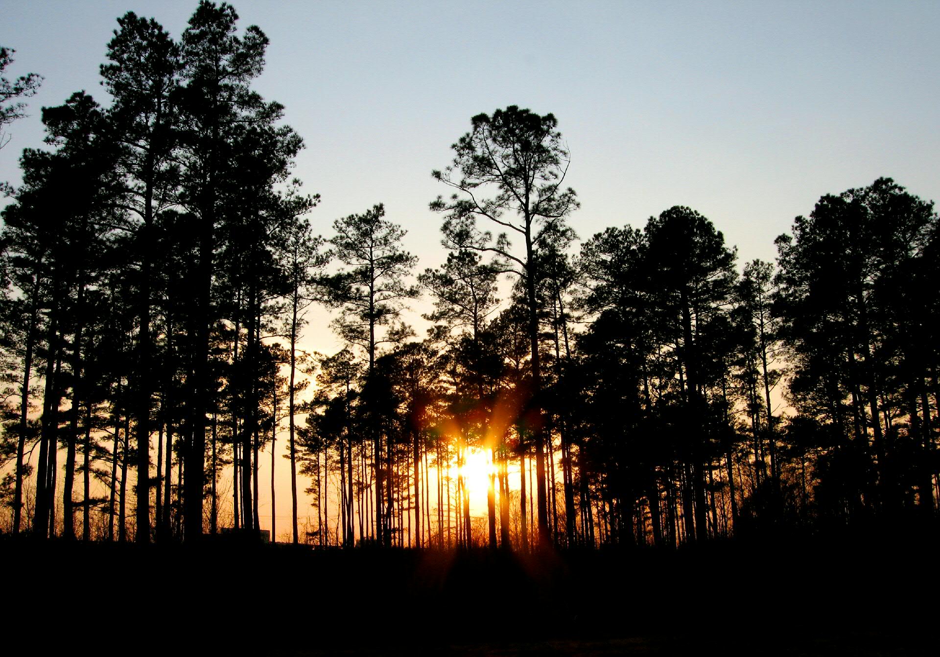
Jarrat Sunset
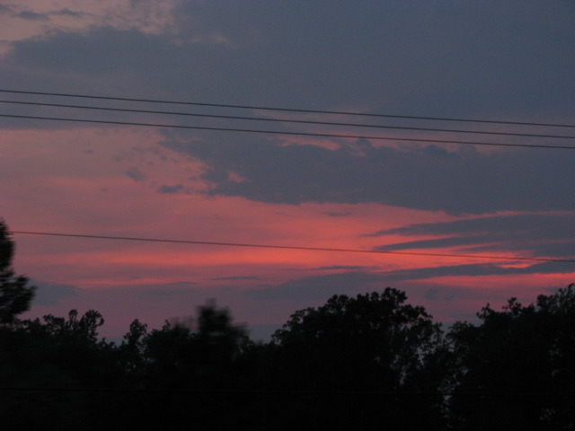
Requisit sunset photo
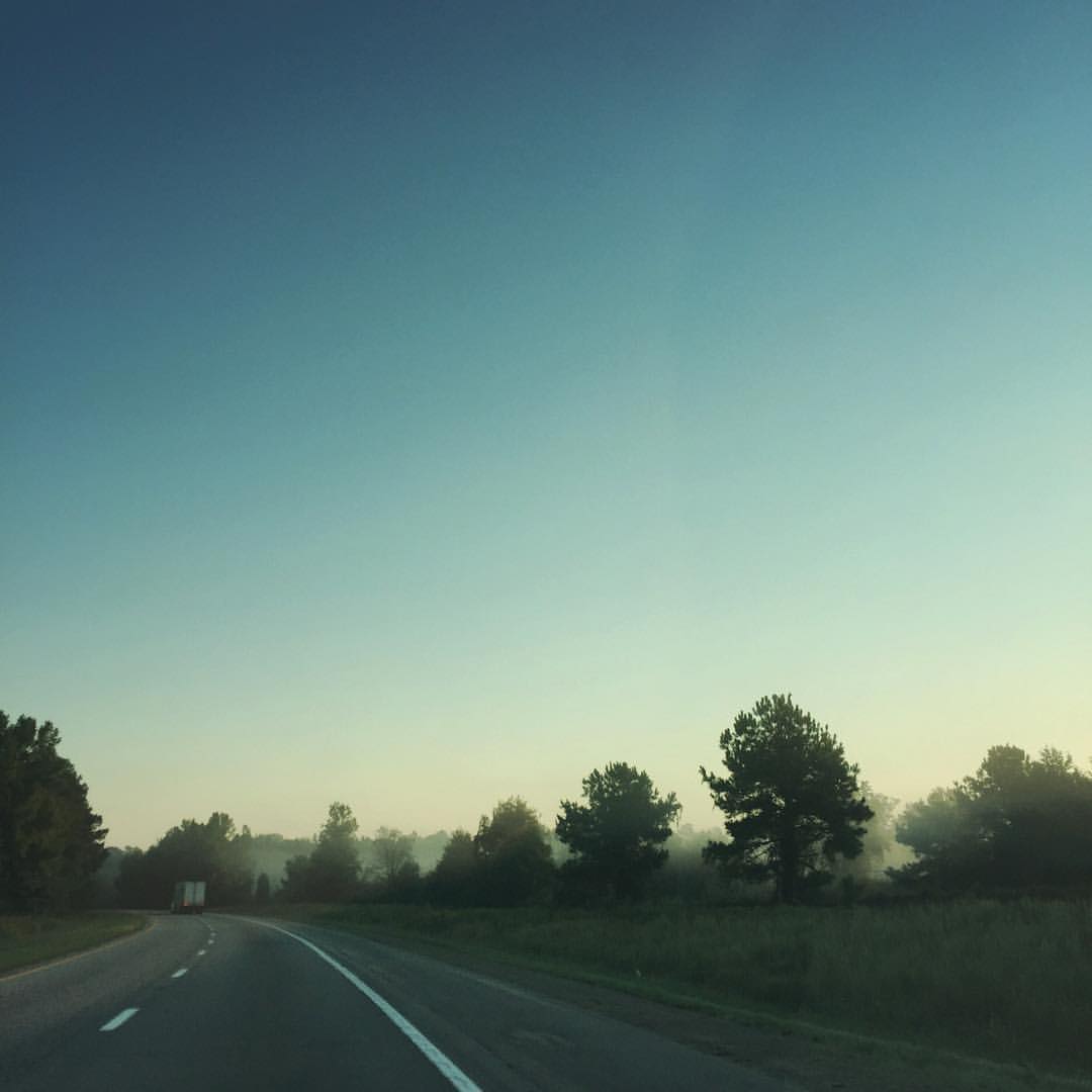
Virginia Mist — #roadtrip #virginia #sunrise #morning #nature #photography
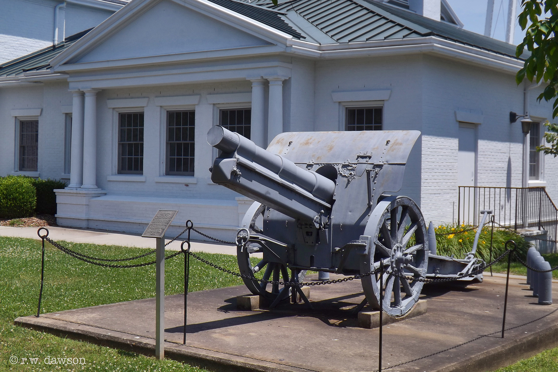
Memorial to Veterans of WWI

Village View Manson House

Hehe :)

Monumental UMC Emporia VA
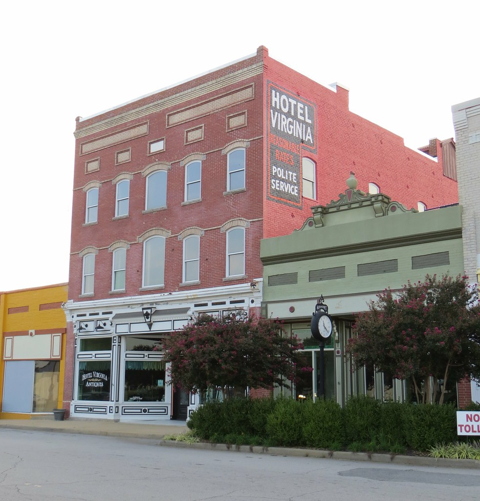
Hotel Virginia 2 Emporia VA
This is a thing.
Roadtrip 09 Day 12 001
Highway To Hell
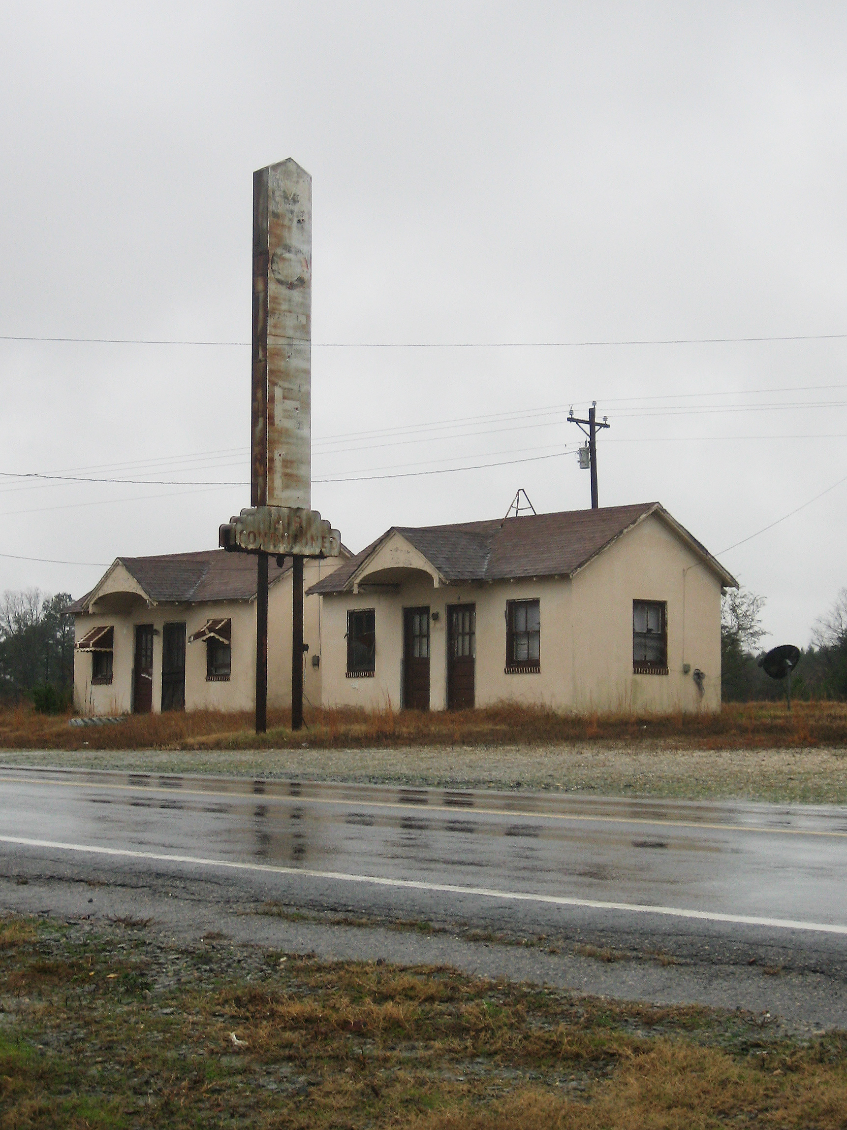
Another Abandoned Motel
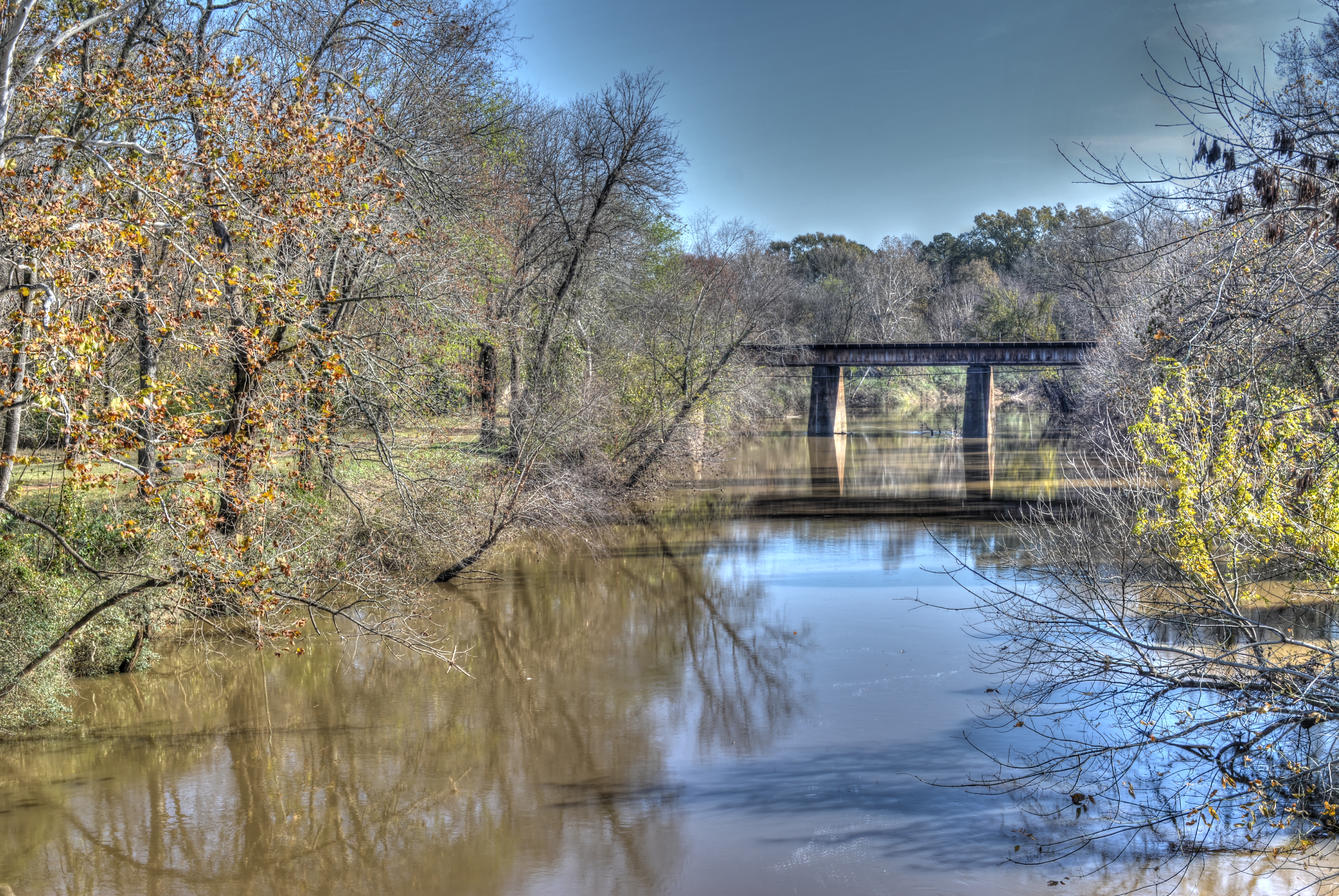
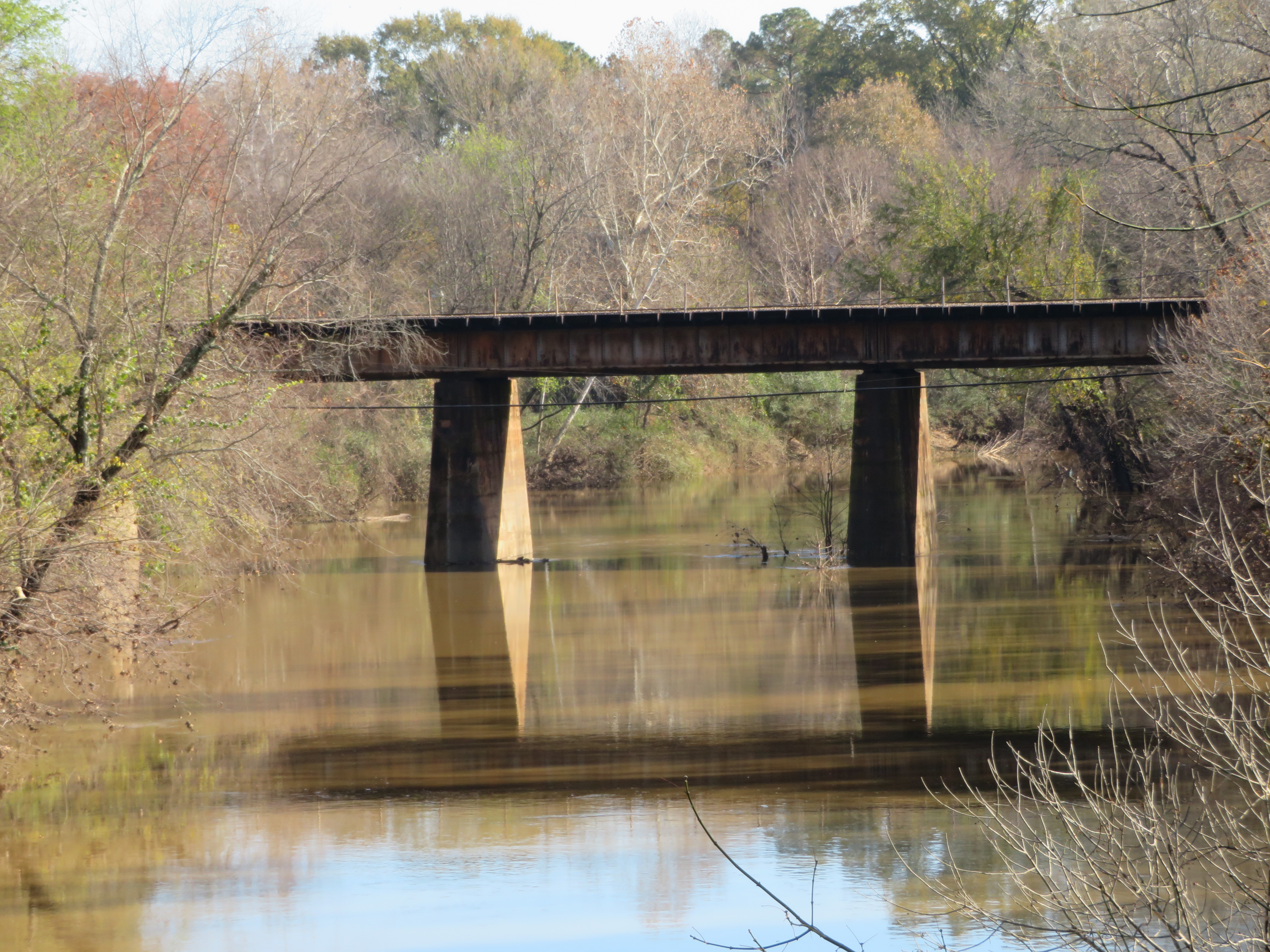
20181125_1 Meherrin River HDR (Emporia VA)
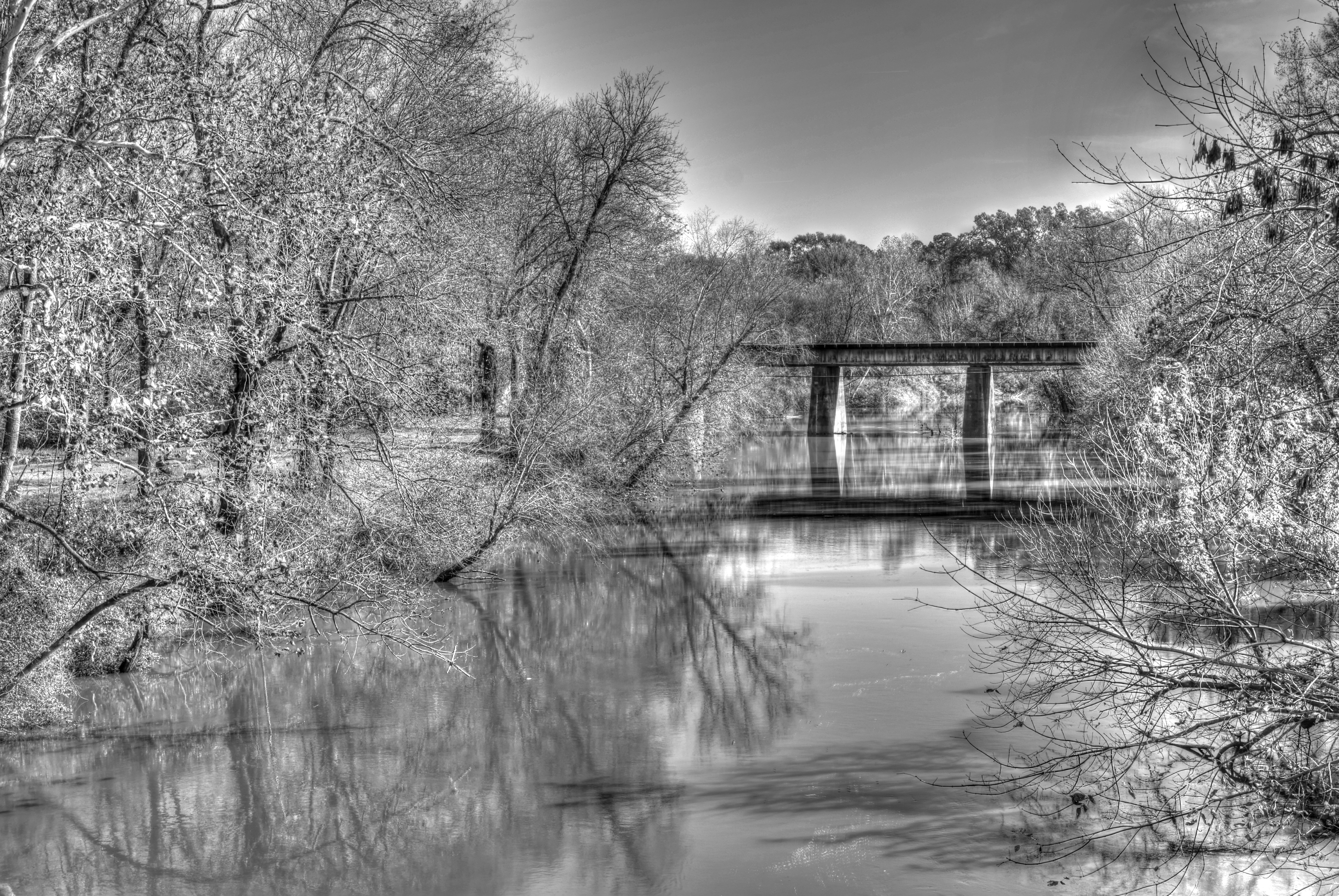
20181125_2 Meherrin River HDR - B&W (Emporia VA)
20181125_4 Second Photo with SX720 (Zoom in)
20181125_5 Third Photo with SX720 (Zoom in more)
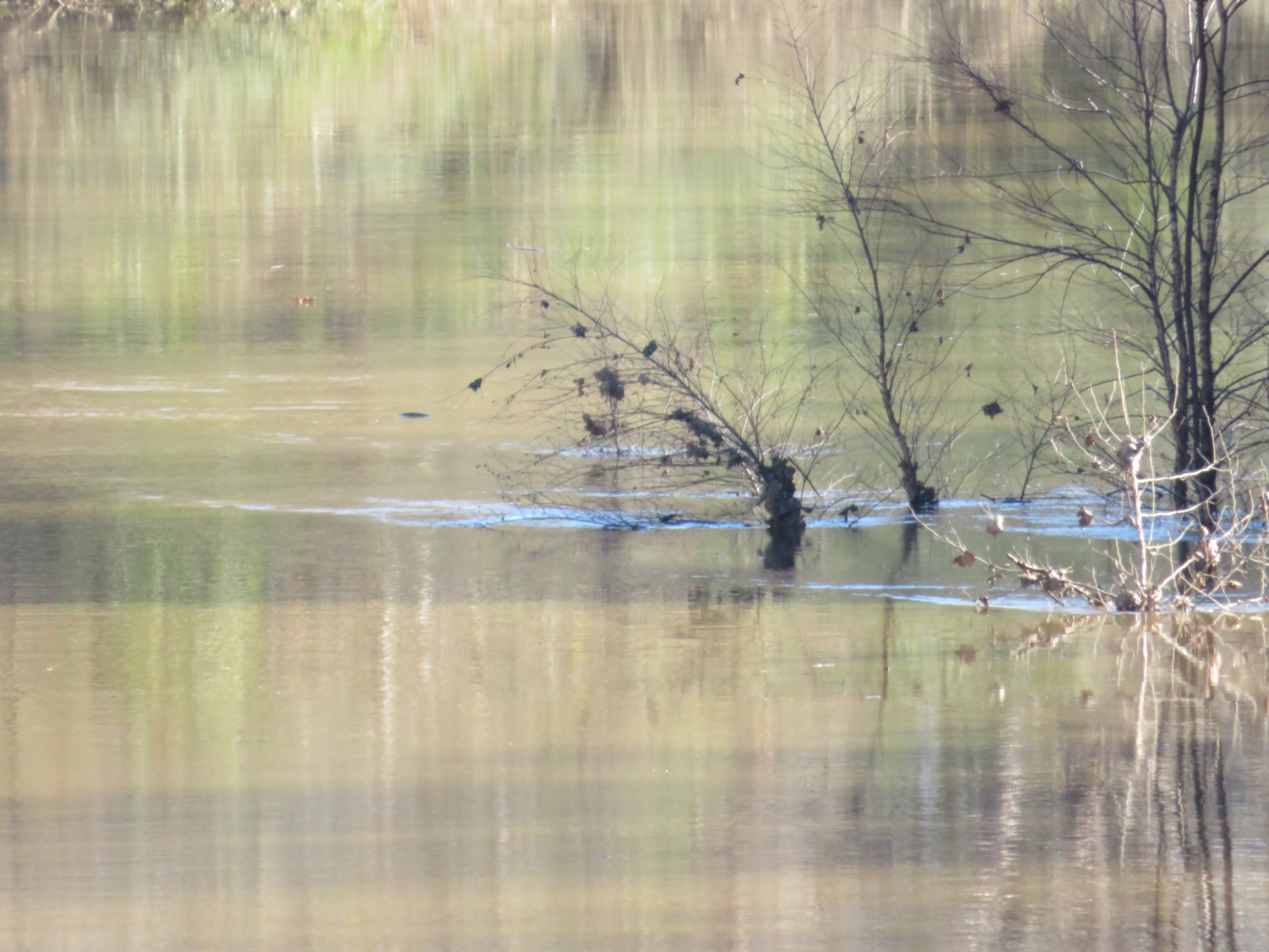
20181125_6 Fourth Photo with SX720 (Zoom to bush)
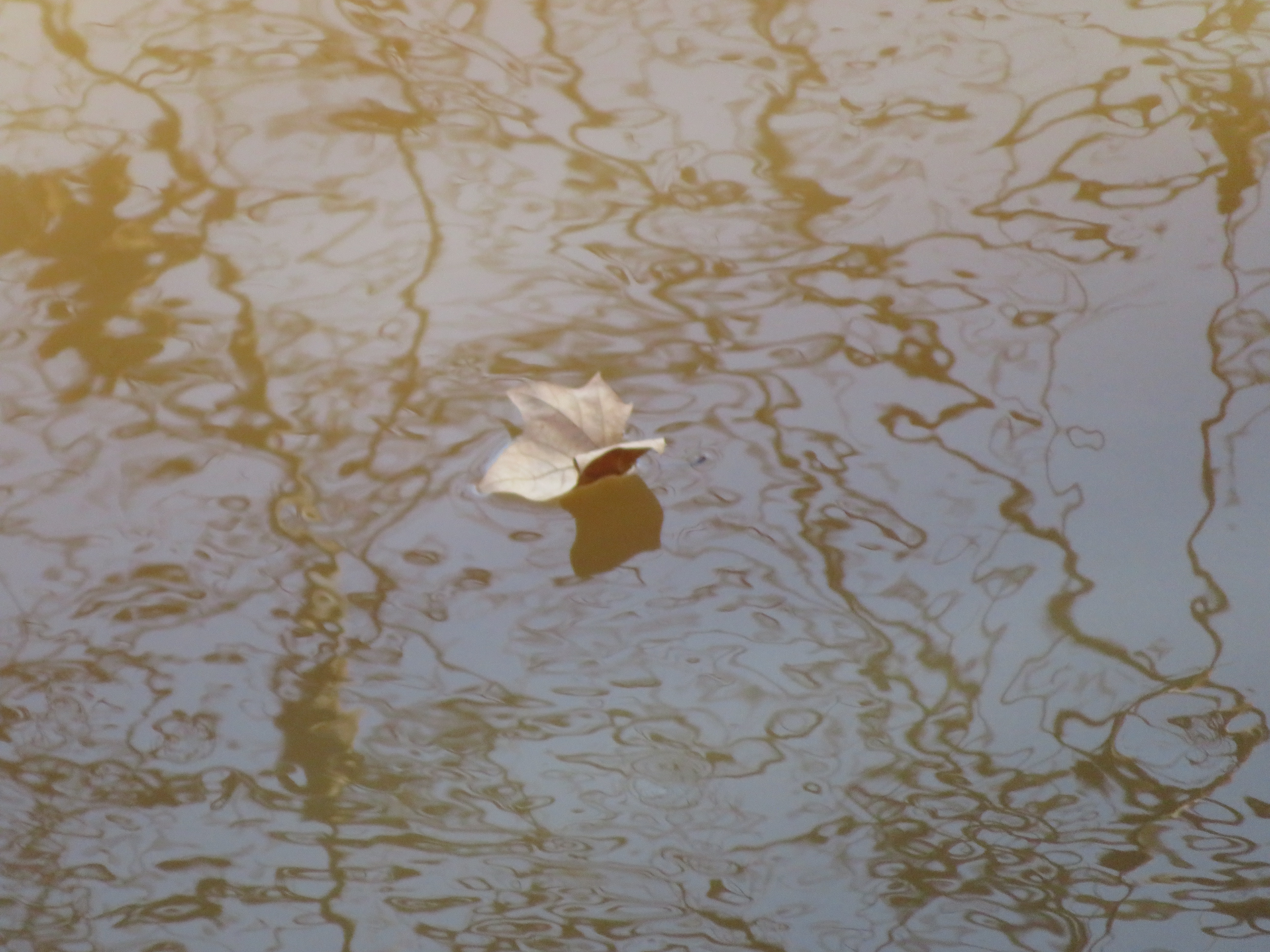
20181125_7 Leaf Falls into Meherrin (Emporia)

20180615 051935 1SL6
20180615 051723 1SL6

The End is near
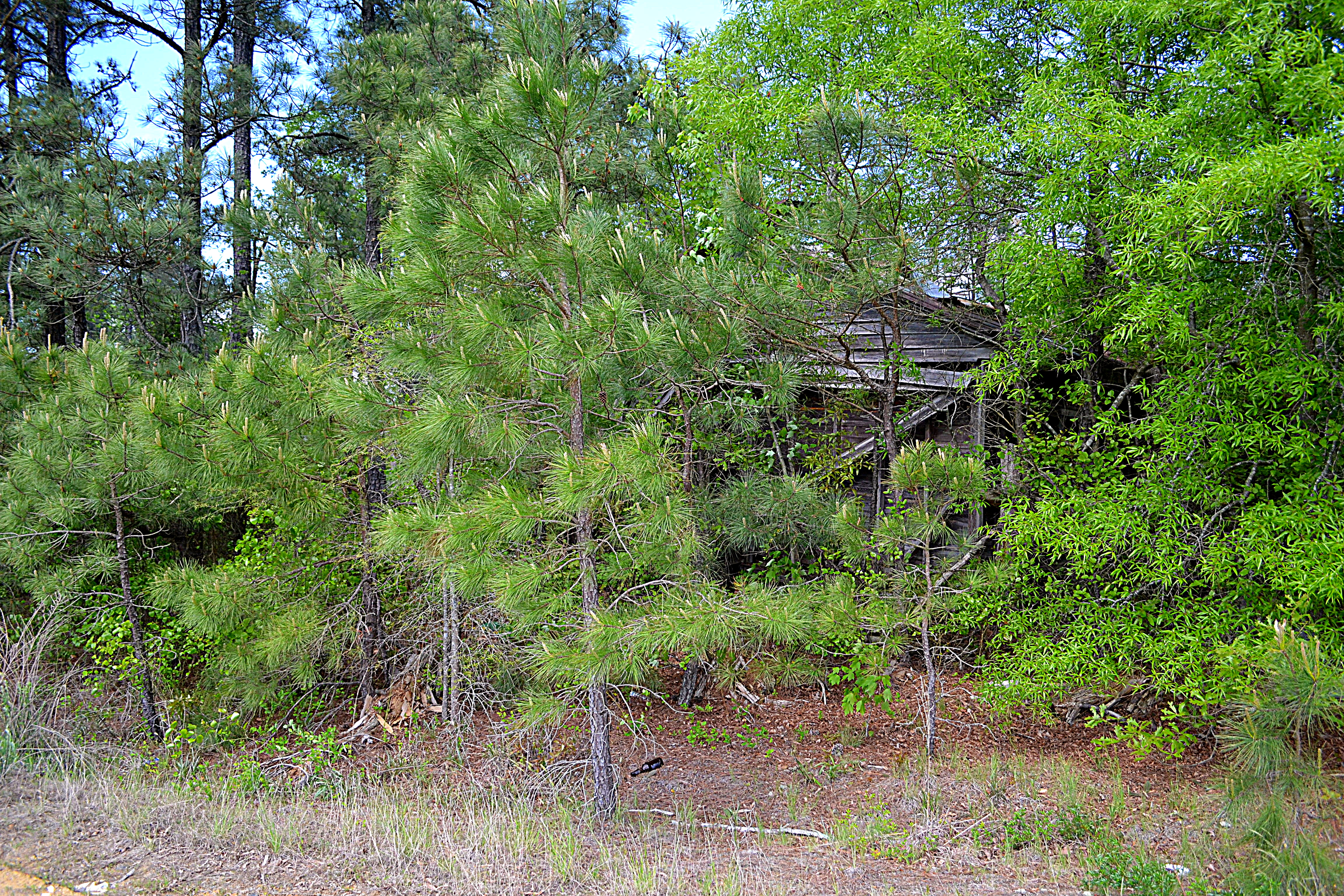
10334 Henry Rd, Jarratt, VA 23867, USA DSC_0621
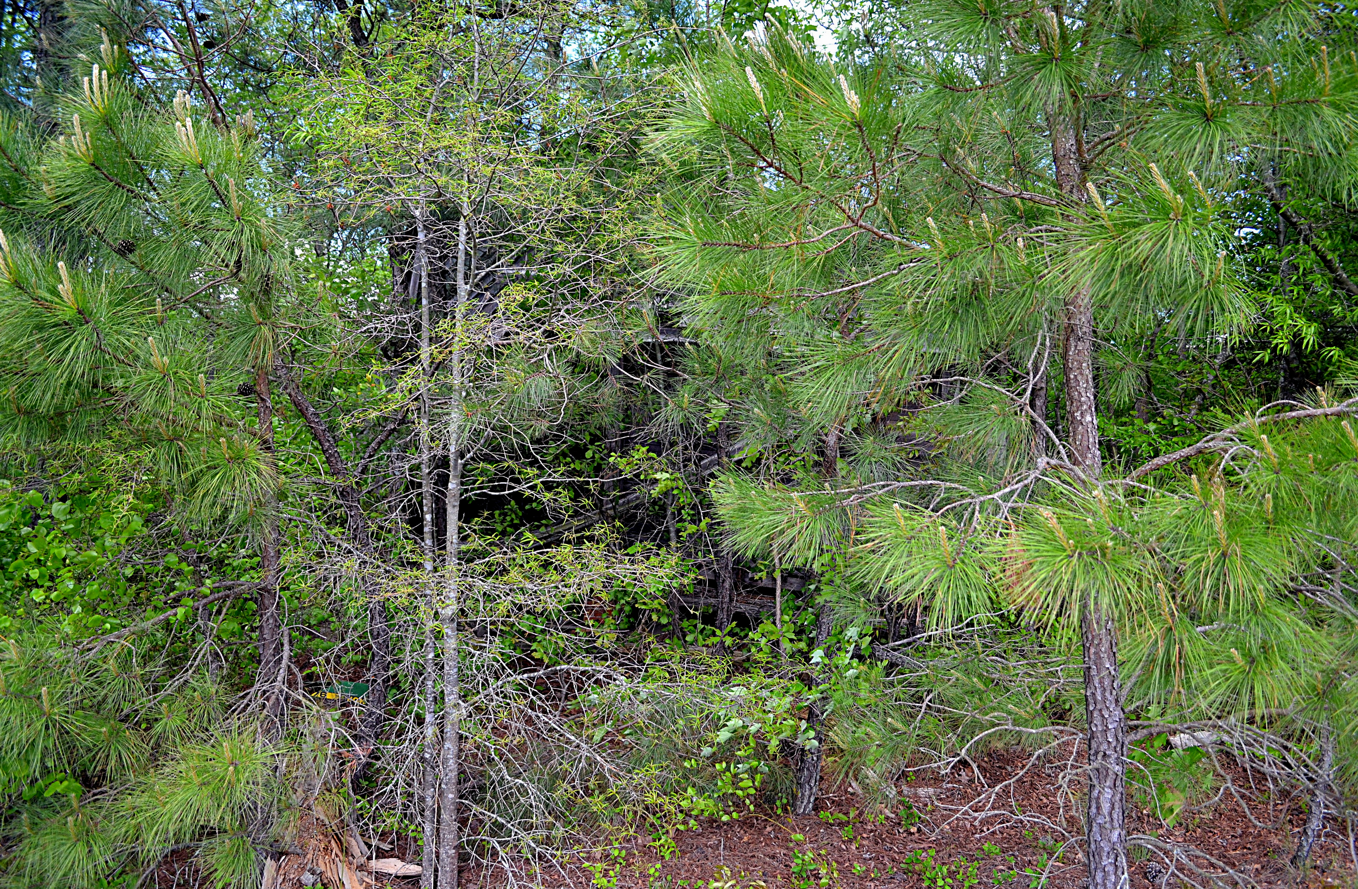
10334 Henry Rd, Jarratt, VA 23867, USA DSC_0617

10334 Henry Rd, Jarratt, VA 23867, USA DSC_0644
Brunswick Ave, Emporia, VA アメリカ合衆国の地図
別の場所を検索
近所の場所
S Main St, Emporia, VA アメリカ合衆国
アメリカ合衆国 〒 バージニア州 エンポーリア
State Rte, Emporia, VA アメリカ合衆国
Low Ground Rd, Emporia, VA アメリカ合衆国
3, VA アメリカ合衆国
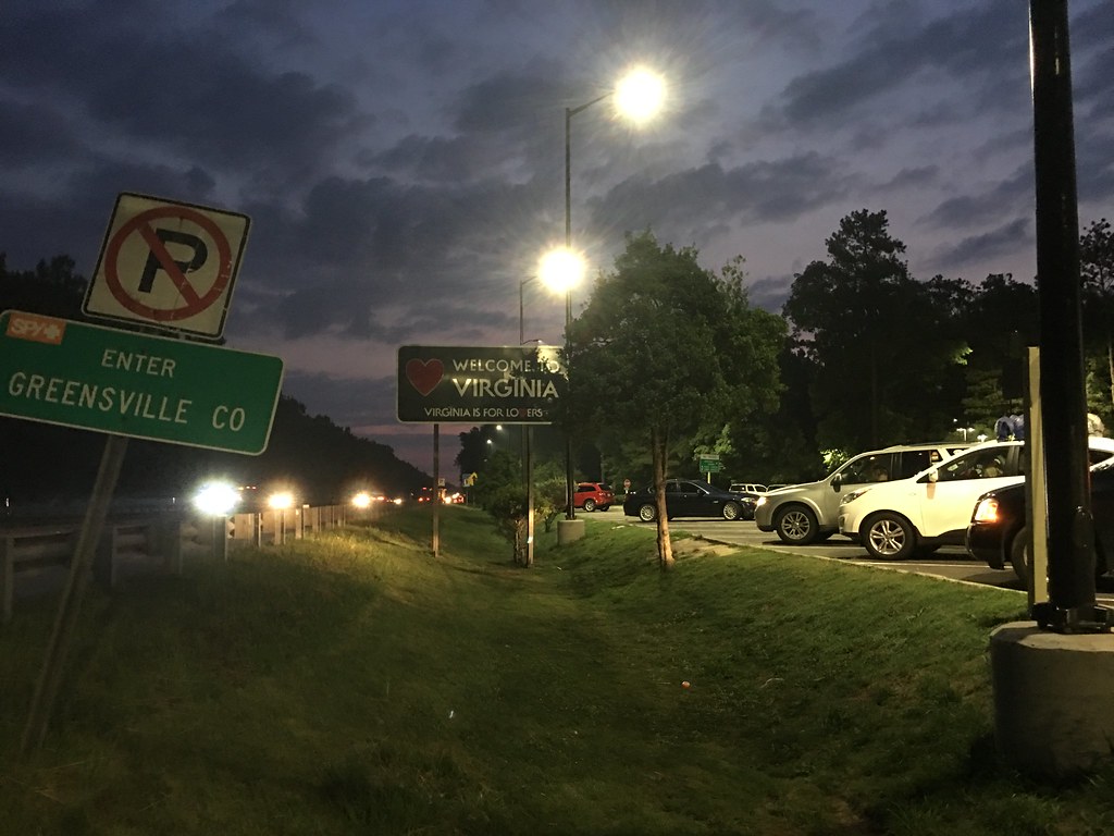
Greensville County Cir, Emporia, VA アメリカ合衆国グリーンズビル・サークル
アメリカ合衆国 〒 バージニア州 スキッパーズ
アメリカ合衆国 バージニア州 2
Skippers Rd, Skippers, VA アメリカ合衆国
Chapman's Ford Rd, Emporia, VA アメリカ合衆国
アメリカ合衆国 バージニア州 グリーンズビル
アメリカ合衆国 バージニア州 1
アメリカ合衆国 バージニア州 4
Allen Rd, Jarratt, VA アメリカ合衆国
Wyatts Mill Rd, Jarratt, VA アメリカ合衆国
アメリカ合衆国 〒 バージニア州 フリーマン
アメリカ合衆国 〒 バージニア州 ジャラット
Pine Log Rd, Emporia, VA アメリカ合衆国
Western Mill Rd, Lawrenceville, VA アメリカ合衆国
アメリカ合衆国 バージニア州 パウエルトン
最近の検索
- アメリカ合衆国 アラスカ州 レッド・ドッグ・マイン日の出日の入り時間
- Am bhf, Borken, ドイツアム・バーンホーフ日の出日の入り時間
- 4th St E, Sonoma, CA, USA日の出日の入り時間
- Oakland Ave, Williamsport, PA アメリカ合衆国日の出日の入り時間
- Via Roma, Pieranica CR, イタリアローマ通り日の出日の入り時間
- クロアチア 〒 ドゥブロブニク GradClock Tower of Dubrovnik日の出日の入り時間
- アルゼンチン チュブ州 トレリュー日の出日の入り時間
- Hartfords Bluff Cir, Mt Pleasant, SC アメリカ合衆国日の出日の入り時間
- 日本、熊本県熊本市北区日の出日の入り時間
- 中華人民共和国 福州市 平潭県 平潭島日の出日の入り時間