Brownsboro-Eagle Point Hwy, Eagle Point, OR アメリカ合衆国日の出日の入り時間
Location: アメリカ合衆国 > オレゴン州 > アメリカ合衆国 〒 オレゴン州 イーグル・ポイント >
時間帯:
America/Los_Angeles
現地時間:
2025-06-29 14:15:03
経度:
-122.765386
緯度:
42.483058
今日の日の出時刻:
05:37:30 AM
今日の日の入時刻:
08:52:20 PM
今日の日長:
15h 14m 50s
明日の日の出時刻:
05:38:02 AM
明日の日の入時刻:
08:52:11 PM
明日の日長:
15h 14m 9s
すべて表示する
| 日付 | 日出 | 日没 | 日長 |
|---|---|---|---|
| 2025年01月01日 | 07:40:39 AM | 04:49:56 PM | 9h 9m 17s |
| 2025年01月02日 | 07:40:39 AM | 04:50:51 PM | 9h 10m 12s |
| 2025年01月03日 | 07:40:37 AM | 04:51:47 PM | 9h 11m 10s |
| 2025年01月04日 | 07:40:32 AM | 04:52:45 PM | 9h 12m 13s |
| 2025年01月05日 | 07:40:25 AM | 04:53:45 PM | 9h 13m 20s |
| 2025年01月06日 | 07:40:16 AM | 04:54:45 PM | 9h 14m 29s |
| 2025年01月07日 | 07:40:04 AM | 04:55:48 PM | 9h 15m 44s |
| 2025年01月08日 | 07:39:50 AM | 04:56:51 PM | 9h 17m 1s |
| 2025年01月09日 | 07:39:33 AM | 04:57:56 PM | 9h 18m 23s |
| 2025年01月10日 | 07:39:14 AM | 04:59:02 PM | 9h 19m 48s |
| 2025年01月11日 | 07:38:53 AM | 05:00:09 PM | 9h 21m 16s |
| 2025年01月12日 | 07:38:30 AM | 05:01:18 PM | 9h 22m 48s |
| 2025年01月13日 | 07:38:04 AM | 05:02:27 PM | 9h 24m 23s |
| 2025年01月14日 | 07:37:36 AM | 05:03:37 PM | 9h 26m 1s |
| 2025年01月15日 | 07:37:05 AM | 05:04:48 PM | 9h 27m 43s |
| 2025年01月16日 | 07:36:33 AM | 05:06:00 PM | 9h 29m 27s |
| 2025年01月17日 | 07:35:58 AM | 05:07:13 PM | 9h 31m 15s |
| 2025年01月18日 | 07:35:21 AM | 05:08:27 PM | 9h 33m 6s |
| 2025年01月19日 | 07:34:42 AM | 05:09:41 PM | 9h 34m 59s |
| 2025年01月20日 | 07:34:00 AM | 05:10:56 PM | 9h 36m 56s |
| 2025年01月21日 | 07:33:17 AM | 05:12:11 PM | 9h 38m 54s |
| 2025年01月22日 | 07:32:31 AM | 05:13:27 PM | 9h 40m 56s |
| 2025年01月23日 | 07:31:44 AM | 05:14:43 PM | 9h 42m 59s |
| 2025年01月24日 | 07:30:54 AM | 05:16:00 PM | 9h 45m 6s |
| 2025年01月25日 | 07:30:03 AM | 05:17:17 PM | 9h 47m 14s |
| 2025年01月26日 | 07:29:09 AM | 05:18:35 PM | 9h 49m 26s |
| 2025年01月27日 | 07:28:14 AM | 05:19:52 PM | 9h 51m 38s |
| 2025年01月28日 | 07:27:17 AM | 05:21:11 PM | 9h 53m 54s |
| 2025年01月29日 | 07:26:17 AM | 05:22:29 PM | 9h 56m 12s |
| 2025年01月30日 | 07:25:17 AM | 05:23:47 PM | 9h 58m 30s |
| 2025年01月31日 | 07:24:14 AM | 05:25:06 PM | 10h 0m 52s |
| 2025年02月01日 | 07:23:09 AM | 05:26:24 PM | 10h 3m 15s |
| 2025年02月02日 | 07:22:03 AM | 05:27:43 PM | 10h 5m 40s |
| 2025年02月03日 | 07:20:56 AM | 05:29:02 PM | 10h 8m 6s |
| 2025年02月04日 | 07:19:46 AM | 05:30:21 PM | 10h 10m 35s |
| 2025年02月05日 | 07:18:35 AM | 05:31:39 PM | 10h 13m 4s |
| 2025年02月06日 | 07:17:23 AM | 05:32:58 PM | 10h 15m 35s |
| 2025年02月07日 | 07:16:09 AM | 05:34:16 PM | 10h 18m 7s |
| 2025年02月08日 | 07:14:53 AM | 05:35:35 PM | 10h 20m 42s |
| 2025年02月09日 | 07:13:37 AM | 05:36:53 PM | 10h 23m 16s |
| 2025年02月10日 | 07:12:18 AM | 05:38:11 PM | 10h 25m 53s |
| 2025年02月11日 | 07:10:59 AM | 05:39:29 PM | 10h 28m 30s |
| 2025年02月12日 | 07:09:38 AM | 05:40:47 PM | 10h 31m 9s |
| 2025年02月13日 | 07:08:16 AM | 05:42:05 PM | 10h 33m 49s |
| 2025年02月14日 | 07:06:52 AM | 05:43:22 PM | 10h 36m 30s |
| 2025年02月15日 | 07:05:28 AM | 05:44:40 PM | 10h 39m 12s |
| 2025年02月16日 | 07:04:02 AM | 05:45:56 PM | 10h 41m 54s |
| 2025年02月17日 | 07:02:35 AM | 05:47:13 PM | 10h 44m 38s |
| 2025年02月18日 | 07:01:07 AM | 05:48:30 PM | 10h 47m 23s |
| 2025年02月19日 | 06:59:38 AM | 05:49:46 PM | 10h 50m 8s |
| 2025年02月20日 | 06:58:08 AM | 05:51:02 PM | 10h 52m 54s |
| 2025年02月21日 | 06:56:37 AM | 05:52:17 PM | 10h 55m 40s |
| 2025年02月22日 | 06:55:05 AM | 05:53:32 PM | 10h 58m 27s |
| 2025年02月23日 | 06:53:32 AM | 05:54:47 PM | 11h 1m 15s |
| 2025年02月24日 | 06:51:58 AM | 05:56:02 PM | 11h 4m 4s |
| 2025年02月25日 | 06:50:24 AM | 05:57:17 PM | 11h 6m 53s |
| 2025年02月26日 | 06:48:48 AM | 05:58:31 PM | 11h 9m 43s |
| 2025年02月27日 | 06:47:12 AM | 05:59:45 PM | 11h 12m 33s |
| 2025年02月28日 | 06:45:35 AM | 06:00:58 PM | 11h 15m 23s |
| 2025年03月01日 | 06:43:58 AM | 06:02:11 PM | 11h 18m 13s |
| 2025年03月02日 | 06:42:20 AM | 06:03:24 PM | 11h 21m 4s |
| 2025年03月03日 | 06:40:41 AM | 06:04:37 PM | 11h 23m 56s |
| 2025年03月04日 | 06:39:01 AM | 06:05:49 PM | 11h 26m 48s |
| 2025年03月05日 | 06:37:21 AM | 06:07:02 PM | 11h 29m 41s |
| 2025年03月06日 | 06:35:41 AM | 06:08:13 PM | 11h 32m 32s |
| 2025年03月07日 | 06:33:59 AM | 06:09:25 PM | 11h 35m 26s |
| 2025年03月08日 | 06:32:18 AM | 06:10:36 PM | 11h 38m 18s |
| 2025年03月09日 | 07:30:40 AM | 07:11:45 PM | 11h 41m 5s |
| 2025年03月10日 | 07:28:58 AM | 07:12:55 PM | 11h 43m 57s |
| 2025年03月11日 | 07:27:15 AM | 07:14:06 PM | 11h 46m 51s |
| 2025年03月12日 | 07:25:32 AM | 07:15:17 PM | 11h 49m 45s |
| 2025年03月13日 | 07:23:49 AM | 07:16:27 PM | 11h 52m 38s |
| 2025年03月14日 | 07:22:05 AM | 07:17:37 PM | 11h 55m 32s |
| 2025年03月15日 | 07:20:21 AM | 07:18:47 PM | 11h 58m 26s |
| 2025年03月16日 | 07:18:37 AM | 07:19:56 PM | 12h 1m 19s |
| 2025年03月17日 | 07:16:53 AM | 07:21:06 PM | 12h 4m 13s |
| 2025年03月18日 | 07:15:08 AM | 07:22:15 PM | 12h 7m 7s |
| 2025年03月19日 | 07:13:24 AM | 07:23:24 PM | 12h 10m 0s |
| 2025年03月20日 | 07:11:39 AM | 07:24:33 PM | 12h 12m 54s |
| 2025年03月21日 | 07:09:54 AM | 07:25:42 PM | 12h 15m 48s |
| 2025年03月22日 | 07:08:09 AM | 07:26:51 PM | 12h 18m 42s |
| 2025年03月23日 | 07:06:25 AM | 07:27:59 PM | 12h 21m 34s |
| 2025年03月24日 | 07:04:40 AM | 07:29:08 PM | 12h 24m 28s |
| 2025年03月25日 | 07:02:55 AM | 07:30:16 PM | 12h 27m 21s |
| 2025年03月26日 | 07:01:11 AM | 07:31:25 PM | 12h 30m 14s |
| 2025年03月27日 | 06:59:26 AM | 07:32:33 PM | 12h 33m 7s |
| 2025年03月28日 | 06:57:42 AM | 07:33:41 PM | 12h 35m 59s |
| 2025年03月29日 | 06:55:58 AM | 07:34:49 PM | 12h 38m 51s |
| 2025年03月30日 | 06:54:14 AM | 07:35:57 PM | 12h 41m 43s |
| 2025年03月31日 | 06:52:30 AM | 07:37:06 PM | 12h 44m 36s |
| 2025年04月01日 | 06:50:47 AM | 07:38:14 PM | 12h 47m 27s |
| 2025年04月02日 | 06:49:04 AM | 07:39:21 PM | 12h 50m 17s |
| 2025年04月03日 | 06:47:21 AM | 07:40:29 PM | 12h 53m 8s |
| 2025年04月04日 | 06:45:39 AM | 07:41:37 PM | 12h 55m 58s |
| 2025年04月05日 | 06:43:57 AM | 07:42:45 PM | 12h 58m 48s |
| 2025年04月06日 | 06:42:16 AM | 07:43:53 PM | 13h 1m 37s |
| 2025年04月07日 | 06:40:35 AM | 07:45:01 PM | 13h 4m 26s |
| 2025年04月08日 | 06:38:54 AM | 07:46:09 PM | 13h 7m 15s |
| 2025年04月09日 | 06:37:14 AM | 07:47:17 PM | 13h 10m 3s |
| 2025年04月10日 | 06:35:35 AM | 07:48:25 PM | 13h 12m 50s |
| 2025年04月11日 | 06:33:56 AM | 07:49:33 PM | 13h 15m 37s |
| 2025年04月12日 | 06:32:18 AM | 07:50:41 PM | 13h 18m 23s |
| 2025年04月13日 | 06:30:40 AM | 07:51:49 PM | 13h 21m 9s |
| 2025年04月14日 | 06:29:03 AM | 07:52:57 PM | 13h 23m 54s |
| 2025年04月15日 | 06:27:27 AM | 07:54:05 PM | 13h 26m 38s |
| 2025年04月16日 | 06:25:51 AM | 07:55:13 PM | 13h 29m 22s |
| 2025年04月17日 | 06:24:17 AM | 07:56:21 PM | 13h 32m 4s |
| 2025年04月18日 | 06:22:43 AM | 07:57:29 PM | 13h 34m 46s |
| 2025年04月19日 | 06:21:10 AM | 07:58:37 PM | 13h 37m 27s |
| 2025年04月20日 | 06:19:38 AM | 07:59:45 PM | 13h 40m 7s |
| 2025年04月21日 | 06:18:07 AM | 08:00:52 PM | 13h 42m 45s |
| 2025年04月22日 | 06:16:37 AM | 08:02:00 PM | 13h 45m 23s |
| 2025年04月23日 | 06:15:07 AM | 08:03:08 PM | 13h 48m 1s |
| 2025年04月24日 | 06:13:39 AM | 08:04:16 PM | 13h 50m 37s |
| 2025年04月25日 | 06:12:12 AM | 08:05:24 PM | 13h 53m 12s |
| 2025年04月26日 | 06:10:46 AM | 08:06:31 PM | 13h 55m 45s |
| 2025年04月27日 | 06:09:21 AM | 08:07:39 PM | 13h 58m 18s |
| 2025年04月28日 | 06:07:57 AM | 08:08:46 PM | 14h 0m 49s |
| 2025年04月29日 | 06:06:34 AM | 08:09:54 PM | 14h 3m 20s |
| 2025年04月30日 | 06:05:13 AM | 08:11:01 PM | 14h 5m 48s |
| 2025年05月01日 | 06:03:53 AM | 08:12:08 PM | 14h 8m 15s |
| 2025年05月02日 | 06:02:34 AM | 08:13:14 PM | 14h 10m 40s |
| 2025年05月03日 | 06:01:16 AM | 08:14:21 PM | 14h 13m 5s |
| 2025年05月04日 | 06:00:00 AM | 08:15:27 PM | 14h 15m 27s |
| 2025年05月05日 | 05:58:45 AM | 08:16:33 PM | 14h 17m 48s |
| 2025年05月06日 | 05:57:32 AM | 08:17:39 PM | 14h 20m 7s |
| 2025年05月07日 | 05:56:20 AM | 08:18:45 PM | 14h 22m 25s |
| 2025年05月08日 | 05:55:09 AM | 08:19:50 PM | 14h 24m 41s |
| 2025年05月09日 | 05:54:00 AM | 08:20:55 PM | 14h 26m 55s |
| 2025年05月10日 | 05:52:53 AM | 08:21:59 PM | 14h 29m 6s |
| 2025年05月11日 | 05:51:47 AM | 08:23:03 PM | 14h 31m 16s |
| 2025年05月12日 | 05:50:43 AM | 08:24:06 PM | 14h 33m 23s |
| 2025年05月13日 | 05:49:40 AM | 08:25:09 PM | 14h 35m 29s |
| 2025年05月14日 | 05:48:39 AM | 08:26:12 PM | 14h 37m 33s |
| 2025年05月15日 | 05:47:40 AM | 08:27:14 PM | 14h 39m 34s |
| 2025年05月16日 | 05:46:42 AM | 08:28:15 PM | 14h 41m 33s |
| 2025年05月17日 | 05:45:47 AM | 08:29:16 PM | 14h 43m 29s |
| 2025年05月18日 | 05:44:53 AM | 08:30:15 PM | 14h 45m 22s |
| 2025年05月19日 | 05:44:01 AM | 08:31:15 PM | 14h 47m 14s |
| 2025年05月20日 | 05:43:10 AM | 08:32:13 PM | 14h 49m 3s |
| 2025年05月21日 | 05:42:22 AM | 08:33:11 PM | 14h 50m 49s |
| 2025年05月22日 | 05:41:35 AM | 08:34:07 PM | 14h 52m 32s |
| 2025年05月23日 | 05:40:51 AM | 08:35:03 PM | 14h 54m 12s |
| 2025年05月24日 | 05:40:08 AM | 08:35:58 PM | 14h 55m 50s |
| 2025年05月25日 | 05:39:27 AM | 08:36:52 PM | 14h 57m 25s |
| 2025年05月26日 | 05:38:49 AM | 08:37:45 PM | 14h 58m 56s |
| 2025年05月27日 | 05:38:12 AM | 08:38:36 PM | 15h 0m 24s |
| 2025年05月28日 | 05:37:37 AM | 08:39:27 PM | 15h 1m 50s |
| 2025年05月29日 | 05:37:05 AM | 08:40:16 PM | 15h 3m 11s |
| 2025年05月30日 | 05:36:34 AM | 08:41:05 PM | 15h 4m 31s |
| 2025年05月31日 | 05:36:05 AM | 08:41:52 PM | 15h 5m 47s |
| 2025年06月01日 | 05:35:39 AM | 08:42:37 PM | 15h 6m 58s |
| 2025年06月02日 | 05:35:15 AM | 08:43:22 PM | 15h 8m 7s |
| 2025年06月03日 | 05:34:52 AM | 08:44:05 PM | 15h 9m 13s |
| 2025年06月04日 | 05:34:32 AM | 08:44:46 PM | 15h 10m 14s |
| 2025年06月05日 | 05:34:14 AM | 08:45:26 PM | 15h 11m 12s |
| 2025年06月06日 | 05:33:58 AM | 08:46:04 PM | 15h 12m 6s |
| 2025年06月07日 | 05:33:45 AM | 08:46:41 PM | 15h 12m 56s |
| 2025年06月08日 | 05:33:33 AM | 08:47:16 PM | 15h 13m 43s |
| 2025年06月09日 | 05:33:23 AM | 08:47:50 PM | 15h 14m 27s |
| 2025年06月10日 | 05:33:16 AM | 08:48:22 PM | 15h 15m 6s |
| 2025年06月11日 | 05:33:11 AM | 08:48:52 PM | 15h 15m 41s |
| 2025年06月12日 | 05:33:07 AM | 08:49:20 PM | 15h 16m 13s |
| 2025年06月13日 | 05:33:06 AM | 08:49:47 PM | 15h 16m 41s |
| 2025年06月14日 | 05:33:07 AM | 08:50:12 PM | 15h 17m 5s |
| 2025年06月15日 | 05:33:10 AM | 08:50:34 PM | 15h 17m 24s |
| 2025年06月16日 | 05:33:15 AM | 08:50:55 PM | 15h 17m 40s |
| 2025年06月17日 | 05:33:23 AM | 08:51:14 PM | 15h 17m 51s |
| 2025年06月18日 | 05:33:32 AM | 08:51:31 PM | 15h 17m 59s |
| 2025年06月19日 | 05:33:43 AM | 08:51:46 PM | 15h 18m 3s |
| 2025年06月20日 | 05:33:56 AM | 08:51:59 PM | 15h 18m 3s |
| 2025年06月21日 | 05:34:11 AM | 08:52:10 PM | 15h 17m 59s |
| 2025年06月22日 | 05:34:28 AM | 08:52:19 PM | 15h 17m 51s |
| 2025年06月23日 | 05:34:47 AM | 08:52:26 PM | 15h 17m 39s |
| 2025年06月24日 | 05:35:08 AM | 08:52:31 PM | 15h 17m 23s |
| 2025年06月25日 | 05:35:30 AM | 08:52:33 PM | 15h 17m 3s |
| 2025年06月26日 | 05:35:55 AM | 08:52:34 PM | 15h 16m 39s |
| 2025年06月27日 | 05:36:21 AM | 08:52:32 PM | 15h 16m 11s |
| 2025年06月28日 | 05:36:49 AM | 08:52:28 PM | 15h 15m 39s |
| 2025年06月29日 | 05:37:18 AM | 08:52:22 PM | 15h 15m 4s |
| 2025年06月30日 | 05:37:50 AM | 08:52:14 PM | 15h 14m 24s |
| 2025年07月01日 | 05:38:23 AM | 08:52:04 PM | 15h 13m 41s |
| 2025年07月02日 | 05:38:57 AM | 08:51:51 PM | 15h 12m 54s |
| 2025年07月03日 | 05:39:33 AM | 08:51:37 PM | 15h 12m 4s |
| 2025年07月04日 | 05:40:11 AM | 08:51:20 PM | 15h 11m 9s |
| 2025年07月05日 | 05:40:49 AM | 08:51:01 PM | 15h 10m 12s |
| 2025年07月06日 | 05:41:30 AM | 08:50:40 PM | 15h 9m 10s |
| 2025年07月07日 | 05:42:12 AM | 08:50:17 PM | 15h 8m 5s |
| 2025年07月08日 | 05:42:55 AM | 08:49:51 PM | 15h 6m 56s |
| 2025年07月09日 | 05:43:39 AM | 08:49:24 PM | 15h 5m 45s |
| 2025年07月10日 | 05:44:24 AM | 08:48:54 PM | 15h 4m 30s |
| 2025年07月11日 | 05:45:11 AM | 08:48:23 PM | 15h 3m 12s |
| 2025年07月12日 | 05:45:59 AM | 08:47:49 PM | 15h 1m 50s |
| 2025年07月13日 | 05:46:48 AM | 08:47:13 PM | 15h 0m 25s |
| 2025年07月14日 | 05:47:38 AM | 08:46:35 PM | 14h 58m 57s |
| 2025年07月15日 | 05:48:29 AM | 08:45:55 PM | 14h 57m 26s |
| 2025年07月16日 | 05:49:21 AM | 08:45:13 PM | 14h 55m 52s |
| 2025年07月17日 | 05:50:14 AM | 08:44:29 PM | 14h 54m 15s |
| 2025年07月18日 | 05:51:07 AM | 08:43:43 PM | 14h 52m 36s |
| 2025年07月19日 | 05:52:02 AM | 08:42:55 PM | 14h 50m 53s |
| 2025年07月20日 | 05:52:57 AM | 08:42:06 PM | 14h 49m 9s |
| 2025年07月21日 | 05:53:53 AM | 08:41:14 PM | 14h 47m 21s |
| 2025年07月22日 | 05:54:50 AM | 08:40:21 PM | 14h 45m 31s |
| 2025年07月23日 | 05:55:48 AM | 08:39:25 PM | 14h 43m 37s |
| 2025年07月24日 | 05:56:46 AM | 08:38:28 PM | 14h 41m 42s |
| 2025年07月25日 | 05:57:44 AM | 08:37:29 PM | 14h 39m 45s |
| 2025年07月26日 | 05:58:44 AM | 08:36:29 PM | 14h 37m 45s |
| 2025年07月27日 | 05:59:43 AM | 08:35:26 PM | 14h 35m 43s |
| 2025年07月28日 | 06:00:43 AM | 08:34:22 PM | 14h 33m 39s |
| 2025年07月29日 | 06:01:44 AM | 08:33:17 PM | 14h 31m 33s |
| 2025年07月30日 | 06:02:45 AM | 08:32:09 PM | 14h 29m 24s |
| 2025年07月31日 | 06:03:46 AM | 08:31:00 PM | 14h 27m 14s |
| 2025年08月01日 | 06:04:48 AM | 08:29:50 PM | 14h 25m 2s |
| 2025年08月02日 | 06:05:50 AM | 08:28:38 PM | 14h 22m 48s |
| 2025年08月03日 | 06:06:52 AM | 08:27:25 PM | 14h 20m 33s |
| 2025年08月04日 | 06:07:55 AM | 08:26:10 PM | 14h 18m 15s |
| 2025年08月05日 | 06:08:58 AM | 08:24:53 PM | 14h 15m 55s |
| 2025年08月06日 | 06:10:01 AM | 08:23:36 PM | 14h 13m 35s |
| 2025年08月07日 | 06:11:04 AM | 08:22:17 PM | 14h 11m 13s |
| 2025年08月08日 | 06:12:07 AM | 08:20:56 PM | 14h 8m 49s |
| 2025年08月09日 | 06:13:11 AM | 08:19:35 PM | 14h 6m 24s |
| 2025年08月10日 | 06:14:14 AM | 08:18:12 PM | 14h 3m 58s |
| 2025年08月11日 | 06:15:18 AM | 08:16:47 PM | 14h 1m 29s |
| 2025年08月12日 | 06:16:22 AM | 08:15:22 PM | 13h 59m 0s |
| 2025年08月13日 | 06:17:25 AM | 08:13:56 PM | 13h 56m 31s |
| 2025年08月14日 | 06:18:29 AM | 08:12:28 PM | 13h 53m 59s |
| 2025年08月15日 | 06:19:33 AM | 08:10:59 PM | 13h 51m 26s |
| 2025年08月16日 | 06:20:37 AM | 08:09:29 PM | 13h 48m 52s |
| 2025年08月17日 | 06:21:41 AM | 08:07:59 PM | 13h 46m 18s |
| 2025年08月18日 | 06:22:45 AM | 08:06:27 PM | 13h 43m 42s |
| 2025年08月19日 | 06:23:49 AM | 08:04:54 PM | 13h 41m 5s |
| 2025年08月20日 | 06:24:53 AM | 08:03:21 PM | 13h 38m 28s |
| 2025年08月21日 | 06:25:57 AM | 08:01:46 PM | 13h 35m 49s |
| 2025年08月22日 | 06:27:01 AM | 08:00:11 PM | 13h 33m 10s |
| 2025年08月23日 | 06:28:04 AM | 07:58:34 PM | 13h 30m 30s |
| 2025年08月24日 | 06:29:08 AM | 07:56:57 PM | 13h 27m 49s |
| 2025年08月25日 | 06:30:12 AM | 07:55:20 PM | 13h 25m 8s |
| 2025年08月26日 | 06:31:16 AM | 07:53:41 PM | 13h 22m 25s |
| 2025年08月27日 | 06:32:19 AM | 07:52:02 PM | 13h 19m 43s |
| 2025年08月28日 | 06:33:23 AM | 07:50:22 PM | 13h 16m 59s |
| 2025年08月29日 | 06:34:27 AM | 07:48:41 PM | 13h 14m 14s |
| 2025年08月30日 | 06:35:30 AM | 07:47:00 PM | 13h 11m 30s |
| 2025年08月31日 | 06:36:34 AM | 07:45:19 PM | 13h 8m 45s |
| 2025年09月01日 | 06:37:37 AM | 07:43:36 PM | 13h 5m 59s |
| 2025年09月02日 | 06:38:41 AM | 07:41:54 PM | 13h 3m 13s |
| 2025年09月03日 | 06:39:44 AM | 07:40:11 PM | 13h 0m 27s |
| 2025年09月04日 | 06:40:48 AM | 07:38:27 PM | 12h 57m 39s |
| 2025年09月05日 | 06:41:51 AM | 07:36:43 PM | 12h 54m 52s |
| 2025年09月06日 | 06:42:55 AM | 07:34:58 PM | 12h 52m 3s |
| 2025年09月07日 | 06:43:58 AM | 07:33:13 PM | 12h 49m 15s |
| 2025年09月08日 | 06:45:01 AM | 07:31:28 PM | 12h 46m 27s |
| 2025年09月09日 | 06:46:05 AM | 07:29:43 PM | 12h 43m 38s |
| 2025年09月10日 | 06:47:08 AM | 07:27:57 PM | 12h 40m 49s |
| 2025年09月11日 | 06:48:12 AM | 07:26:11 PM | 12h 37m 59s |
| 2025年09月12日 | 06:49:15 AM | 07:24:25 PM | 12h 35m 10s |
| 2025年09月13日 | 06:50:19 AM | 07:22:39 PM | 12h 32m 20s |
| 2025年09月14日 | 06:51:23 AM | 07:20:52 PM | 12h 29m 29s |
| 2025年09月15日 | 06:52:26 AM | 07:19:06 PM | 12h 26m 40s |
| 2025年09月16日 | 06:53:30 AM | 07:17:19 PM | 12h 23m 49s |
| 2025年09月17日 | 06:54:34 AM | 07:15:32 PM | 12h 20m 58s |
| 2025年09月18日 | 06:55:38 AM | 07:13:45 PM | 12h 18m 7s |
| 2025年09月19日 | 06:56:42 AM | 07:11:59 PM | 12h 15m 17s |
| 2025年09月20日 | 06:57:46 AM | 07:10:12 PM | 12h 12m 26s |
| 2025年09月21日 | 06:58:50 AM | 07:08:25 PM | 12h 9m 35s |
| 2025年09月22日 | 06:59:55 AM | 07:06:39 PM | 12h 6m 44s |
| 2025年09月23日 | 07:01:00 AM | 07:04:52 PM | 12h 3m 52s |
| 2025年09月24日 | 07:02:04 AM | 07:03:06 PM | 12h 1m 2s |
| 2025年09月25日 | 07:03:09 AM | 07:01:20 PM | 11h 58m 11s |
| 2025年09月26日 | 07:04:15 AM | 06:59:34 PM | 11h 55m 19s |
| 2025年09月27日 | 07:05:20 AM | 06:57:48 PM | 11h 52m 28s |
| 2025年09月28日 | 07:06:25 AM | 06:56:03 PM | 11h 49m 38s |
| 2025年09月29日 | 07:07:31 AM | 06:54:18 PM | 11h 46m 47s |
| 2025年09月30日 | 07:08:37 AM | 06:52:33 PM | 11h 43m 56s |
| 2025年10月01日 | 07:09:43 AM | 06:50:49 PM | 11h 41m 6s |
| 2025年10月02日 | 07:10:50 AM | 06:49:05 PM | 11h 38m 15s |
| 2025年10月03日 | 07:11:57 AM | 06:47:21 PM | 11h 35m 24s |
| 2025年10月04日 | 07:13:04 AM | 06:45:38 PM | 11h 32m 34s |
| 2025年10月05日 | 07:14:11 AM | 06:43:55 PM | 11h 29m 44s |
| 2025年10月06日 | 07:15:19 AM | 06:42:13 PM | 11h 26m 54s |
| 2025年10月07日 | 07:16:26 AM | 06:40:32 PM | 11h 24m 6s |
| 2025年10月08日 | 07:17:34 AM | 06:38:51 PM | 11h 21m 17s |
| 2025年10月09日 | 07:18:43 AM | 06:37:10 PM | 11h 18m 27s |
| 2025年10月10日 | 07:19:52 AM | 06:35:31 PM | 11h 15m 39s |
| 2025年10月11日 | 07:21:01 AM | 06:33:52 PM | 11h 12m 51s |
| 2025年10月12日 | 07:22:10 AM | 06:32:13 PM | 11h 10m 3s |
| 2025年10月13日 | 07:23:20 AM | 06:30:36 PM | 11h 7m 16s |
| 2025年10月14日 | 07:24:30 AM | 06:28:59 PM | 11h 4m 29s |
| 2025年10月15日 | 07:25:40 AM | 06:27:23 PM | 11h 1m 43s |
| 2025年10月16日 | 07:26:51 AM | 06:25:48 PM | 10h 58m 57s |
| 2025年10月17日 | 07:28:02 AM | 06:24:14 PM | 10h 56m 12s |
| 2025年10月18日 | 07:29:13 AM | 06:22:41 PM | 10h 53m 28s |
| 2025年10月19日 | 07:30:24 AM | 06:21:09 PM | 10h 50m 45s |
| 2025年10月20日 | 07:31:36 AM | 06:19:38 PM | 10h 48m 2s |
| 2025年10月21日 | 07:32:48 AM | 06:18:07 PM | 10h 45m 19s |
| 2025年10月22日 | 07:34:01 AM | 06:16:38 PM | 10h 42m 37s |
| 2025年10月23日 | 07:35:14 AM | 06:15:10 PM | 10h 39m 56s |
| 2025年10月24日 | 07:36:27 AM | 06:13:43 PM | 10h 37m 16s |
| 2025年10月25日 | 07:37:40 AM | 06:12:17 PM | 10h 34m 37s |
| 2025年10月26日 | 07:38:54 AM | 06:10:53 PM | 10h 31m 59s |
| 2025年10月27日 | 07:40:07 AM | 06:09:30 PM | 10h 29m 23s |
| 2025年10月28日 | 07:41:22 AM | 06:08:08 PM | 10h 26m 46s |
| 2025年10月29日 | 07:42:36 AM | 06:06:47 PM | 10h 24m 11s |
| 2025年10月30日 | 07:43:50 AM | 06:05:28 PM | 10h 21m 38s |
| 2025年10月31日 | 07:45:05 AM | 06:04:10 PM | 10h 19m 5s |
| 2025年11月01日 | 07:46:20 AM | 06:02:54 PM | 10h 16m 34s |
| 2025年11月02日 | 06:47:38 AM | 05:01:36 PM | 10h 13m 58s |
| 2025年11月03日 | 06:48:53 AM | 05:00:22 PM | 10h 11m 29s |
| 2025年11月04日 | 06:50:08 AM | 04:59:10 PM | 10h 9m 2s |
| 2025年11月05日 | 06:51:24 AM | 04:58:00 PM | 10h 6m 36s |
| 2025年11月06日 | 06:52:39 AM | 04:56:52 PM | 10h 4m 13s |
| 2025年11月07日 | 06:53:54 AM | 04:55:45 PM | 10h 1m 51s |
| 2025年11月08日 | 06:55:10 AM | 04:54:40 PM | 9h 59m 30s |
| 2025年11月09日 | 06:56:25 AM | 04:53:36 PM | 9h 57m 11s |
| 2025年11月10日 | 06:57:40 AM | 04:52:34 PM | 9h 54m 54s |
| 2025年11月11日 | 06:58:55 AM | 04:51:35 PM | 9h 52m 40s |
| 2025年11月12日 | 07:00:10 AM | 04:50:37 PM | 9h 50m 27s |
| 2025年11月13日 | 07:01:25 AM | 04:49:41 PM | 9h 48m 16s |
| 2025年11月14日 | 07:02:39 AM | 04:48:46 PM | 9h 46m 7s |
| 2025年11月15日 | 07:03:53 AM | 04:47:54 PM | 9h 44m 1s |
| 2025年11月16日 | 07:05:07 AM | 04:47:04 PM | 9h 41m 57s |
| 2025年11月17日 | 07:06:21 AM | 04:46:16 PM | 9h 39m 55s |
| 2025年11月18日 | 07:07:34 AM | 04:45:30 PM | 9h 37m 56s |
| 2025年11月19日 | 07:08:46 AM | 04:44:46 PM | 9h 36m 0s |
| 2025年11月20日 | 07:09:58 AM | 04:44:04 PM | 9h 34m 6s |
| 2025年11月21日 | 07:11:10 AM | 04:43:24 PM | 9h 32m 14s |
| 2025年11月22日 | 07:12:21 AM | 04:42:47 PM | 9h 30m 26s |
| 2025年11月23日 | 07:13:31 AM | 04:42:11 PM | 9h 28m 40s |
| 2025年11月24日 | 07:14:41 AM | 04:41:38 PM | 9h 26m 57s |
| 2025年11月25日 | 07:15:49 AM | 04:41:08 PM | 9h 25m 19s |
| 2025年11月26日 | 07:16:57 AM | 04:40:39 PM | 9h 23m 42s |
| 2025年11月27日 | 07:18:04 AM | 04:40:13 PM | 9h 22m 9s |
| 2025年11月28日 | 07:19:10 AM | 04:39:49 PM | 9h 20m 39s |
| 2025年11月29日 | 07:20:15 AM | 04:39:28 PM | 9h 19m 13s |
| 2025年11月30日 | 07:21:19 AM | 04:39:09 PM | 9h 17m 50s |
| 2025年12月01日 | 07:22:22 AM | 04:38:52 PM | 9h 16m 30s |
| 2025年12月02日 | 07:23:24 AM | 04:38:38 PM | 9h 15m 14s |
| 2025年12月03日 | 07:24:24 AM | 04:38:26 PM | 9h 14m 2s |
| 2025年12月04日 | 07:25:23 AM | 04:38:16 PM | 9h 12m 53s |
| 2025年12月05日 | 07:26:21 AM | 04:38:09 PM | 9h 11m 48s |
| 2025年12月06日 | 07:27:17 AM | 04:38:05 PM | 9h 10m 48s |
| 2025年12月07日 | 07:28:12 AM | 04:38:03 PM | 9h 9m 51s |
| 2025年12月08日 | 07:29:05 AM | 04:38:03 PM | 9h 8m 58s |
| 2025年12月09日 | 07:29:57 AM | 04:38:06 PM | 9h 8m 9s |
| 2025年12月10日 | 07:30:47 AM | 04:38:11 PM | 9h 7m 24s |
| 2025年12月11日 | 07:31:35 AM | 04:38:19 PM | 9h 6m 44s |
| 2025年12月12日 | 07:32:21 AM | 04:38:29 PM | 9h 6m 8s |
| 2025年12月13日 | 07:33:06 AM | 04:38:41 PM | 9h 5m 35s |
| 2025年12月14日 | 07:33:49 AM | 04:38:56 PM | 9h 5m 7s |
| 2025年12月15日 | 07:34:30 AM | 04:39:13 PM | 9h 4m 43s |
| 2025年12月16日 | 07:35:09 AM | 04:39:33 PM | 9h 4m 24s |
| 2025年12月17日 | 07:35:46 AM | 04:39:55 PM | 9h 4m 9s |
| 2025年12月18日 | 07:36:21 AM | 04:40:19 PM | 9h 3m 58s |
| 2025年12月19日 | 07:36:54 AM | 04:40:46 PM | 9h 3m 52s |
| 2025年12月20日 | 07:37:25 AM | 04:41:15 PM | 9h 3m 50s |
| 2025年12月21日 | 07:37:53 AM | 04:41:46 PM | 9h 3m 53s |
| 2025年12月22日 | 07:38:20 AM | 04:42:19 PM | 9h 3m 59s |
| 2025年12月23日 | 07:38:44 AM | 04:42:54 PM | 9h 4m 10s |
| 2025年12月24日 | 07:39:06 AM | 04:43:32 PM | 9h 4m 26s |
| 2025年12月25日 | 07:39:26 AM | 04:44:11 PM | 9h 4m 45s |
| 2025年12月26日 | 07:39:43 AM | 04:44:53 PM | 9h 5m 10s |
| 2025年12月27日 | 07:39:58 AM | 04:45:37 PM | 9h 5m 39s |
| 2025年12月28日 | 07:40:11 AM | 04:46:22 PM | 9h 6m 11s |
| 2025年12月29日 | 07:40:21 AM | 04:47:10 PM | 9h 6m 49s |
| 2025年12月30日 | 07:40:29 AM | 04:47:59 PM | 9h 7m 30s |
| 2025年12月31日 | 07:40:35 AM | 04:48:50 PM | 9h 8m 15s |
写真

Southern Oregon Sunset

Southern Oregon Sunset

Golden Hue

Medford lights from Roxy Ann Drive

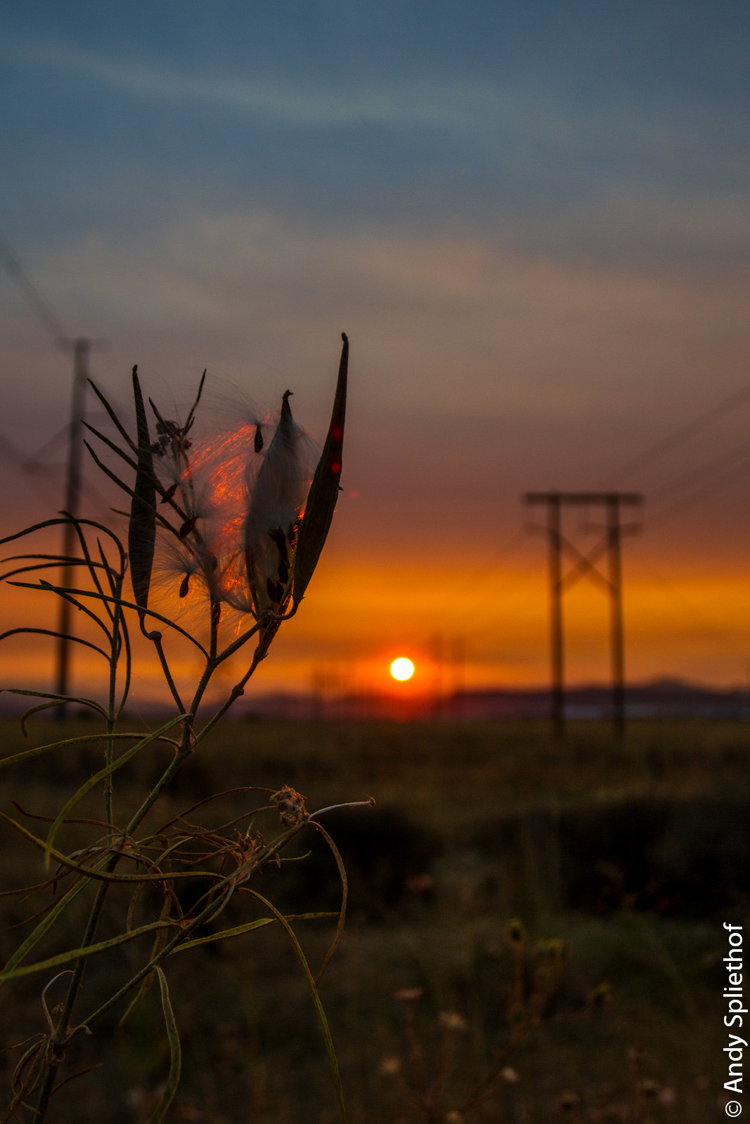
Teasels at Dusk

Sunrise from the Columbia river gorge

Old Mill Sunset

Old Mill Sunset

Electric Sunset
Electric Sunset

Sundown in Southern Oregon November skies
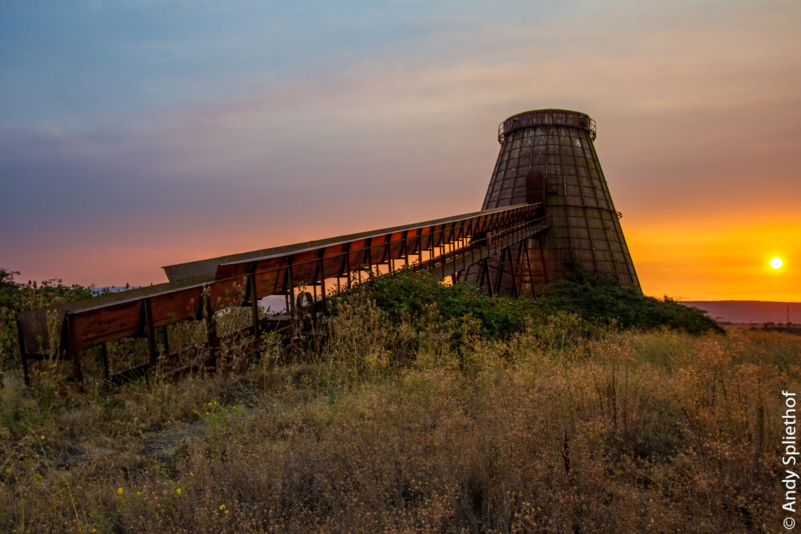
Old Mill Sunset

Sunset on Charger

Sundown in Southern Oregon November skies

February Sky

Teasels at Dusk

Sunset Flower

Sundown in Southern Oregon November skies

Sunset on Charger
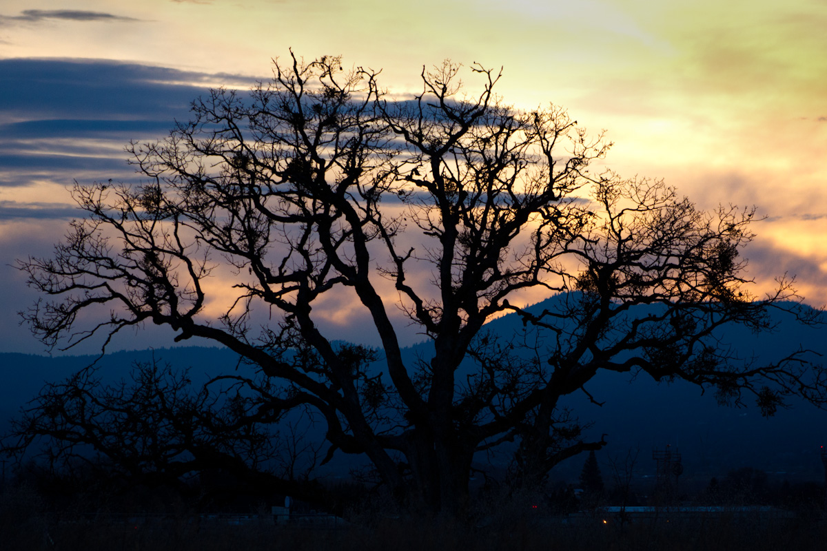
Oak Tree at Dusk

N17085 10 Tanker Air Carrier DC-10 Tanker 911

Rogue Valley sunrise

And it begins...
Brownsboro-Eagle Point Hwy, Eagle Point, OR アメリカ合衆国の地図
別の場所を検索
近所の場所
Ayres Rd, Eagle Point, OR アメリカ合衆国
Brownsboro-Eagle Point Hwy, Eagle Point, OR アメリカ合衆国
E Archwood Dr, Eagle Point, OR アメリカ合衆国
Coral Ridge, Eagle Point, OR アメリカ合衆国
S Platt St, Eagle Point, OR アメリカ合衆国Eagle Point High School
アメリカ合衆国 〒 オレゴン州 イーグル・ポイント
Northview Dr, Eagle Point, OR アメリカ合衆国
Win Way, Eagle Point, OR アメリカ合衆国
Prairie Landing Dr, Eagle Point, OR アメリカ合衆国
Princeville Dr, Eagle Point, OR アメリカ合衆国
OR-62, Eagle Point, OR アメリカ合衆国
50 Butte Falls Hwy, Eagle Point, OR アメリカ合衆国
Lexington Dr, Eagle Point, OR アメリカ合衆国
Ave G, White City, OR アメリカ合衆国
アメリカ合衆国 オレゴン州 ホワイト・シティ
Gladstone Ave, White City, OR アメリカ合衆国
Dry Creek Rd, Medford, OR アメリカ合衆国
McLoughlin Dr, Central Point, OR アメリカ合衆国
アメリカ合衆国 〒 オレゴン州 アッパー・テーブル・ロック
Table Rock Rd, Central Point, OR アメリカ合衆国
最近の検索
- アメリカ合衆国 アラスカ州 レッド・ドッグ・マイン日の出日の入り時間
- Am bhf, Borken, ドイツアム・バーンホーフ日の出日の入り時間
- 4th St E, Sonoma, CA, USA日の出日の入り時間
- Oakland Ave, Williamsport, PA アメリカ合衆国日の出日の入り時間
- Via Roma, Pieranica CR, イタリアローマ通り日の出日の入り時間
- クロアチア 〒 ドゥブロブニク GradClock Tower of Dubrovnik日の出日の入り時間
- アルゼンチン チュブ州 トレリュー日の出日の入り時間
- Hartfords Bluff Cir, Mt Pleasant, SC アメリカ合衆国日の出日の入り時間
- 日本、熊本県熊本市北区日の出日の入り時間
- 中華人民共和国 福州市 平潭県 平潭島日の出日の入り時間