Bridle Trail Dr, Robertsville, MO アメリカ合衆国Bridle Trail Drive日の出日の入り時間
Location: アメリカ合衆国 > ミズーリ州 > フランクリン > アメリカ合衆国 ミズーリ州 カルベイ > アメリカ合衆国 〒 ミズーリ州 ロバーツビル >
時間帯:
America/Chicago
現地時間:
2025-07-04 02:53:56
経度:
-90.8150245
緯度:
38.3517634
今日の日の出時刻:
05:45:13 AM
今日の日の入時刻:
08:30:27 PM
今日の日長:
14h 45m 14s
明日の日の出時刻:
05:45:46 AM
明日の日の入時刻:
08:30:14 PM
明日の日長:
14h 44m 28s
すべて表示する
| 日付 | 日出 | 日没 | 日長 |
|---|---|---|---|
| 2025年01月01日 | 07:20:22 AM | 04:54:27 PM | 9h 34m 5s |
| 2025年01月02日 | 07:20:26 AM | 04:55:17 PM | 9h 34m 51s |
| 2025年01月03日 | 07:20:29 AM | 04:56:09 PM | 9h 35m 40s |
| 2025年01月04日 | 07:20:30 AM | 04:57:02 PM | 9h 36m 32s |
| 2025年01月05日 | 07:20:28 AM | 04:57:56 PM | 9h 37m 28s |
| 2025年01月06日 | 07:20:24 AM | 04:58:52 PM | 9h 38m 28s |
| 2025年01月07日 | 07:20:19 AM | 04:59:48 PM | 9h 39m 29s |
| 2025年01月08日 | 07:20:11 AM | 05:00:46 PM | 9h 40m 35s |
| 2025年01月09日 | 07:20:01 AM | 05:01:44 PM | 9h 41m 43s |
| 2025年01月10日 | 07:19:49 AM | 05:02:44 PM | 9h 42m 55s |
| 2025年01月11日 | 07:19:35 AM | 05:03:44 PM | 9h 44m 9s |
| 2025年01月12日 | 07:19:18 AM | 05:04:45 PM | 9h 45m 27s |
| 2025年01月13日 | 07:19:00 AM | 05:05:47 PM | 9h 46m 47s |
| 2025年01月14日 | 07:18:40 AM | 05:06:50 PM | 9h 48m 10s |
| 2025年01月15日 | 07:18:17 AM | 05:07:53 PM | 9h 49m 36s |
| 2025年01月16日 | 07:17:53 AM | 05:08:57 PM | 9h 51m 4s |
| 2025年01月17日 | 07:17:26 AM | 05:10:02 PM | 9h 52m 36s |
| 2025年01月18日 | 07:16:58 AM | 05:11:07 PM | 9h 54m 9s |
| 2025年01月19日 | 07:16:27 AM | 05:12:13 PM | 9h 55m 46s |
| 2025年01月20日 | 07:15:55 AM | 05:13:19 PM | 9h 57m 24s |
| 2025年01月21日 | 07:15:21 AM | 05:14:25 PM | 9h 59m 4s |
| 2025年01月22日 | 07:14:45 AM | 05:15:32 PM | 10h 0m 47s |
| 2025年01月23日 | 07:14:06 AM | 05:16:40 PM | 10h 2m 34s |
| 2025年01月24日 | 07:13:26 AM | 05:17:47 PM | 10h 4m 21s |
| 2025年01月25日 | 07:12:45 AM | 05:18:55 PM | 10h 6m 10s |
| 2025年01月26日 | 07:12:01 AM | 05:20:03 PM | 10h 8m 2s |
| 2025年01月27日 | 07:11:16 AM | 05:21:11 PM | 10h 9m 55s |
| 2025年01月28日 | 07:10:29 AM | 05:22:19 PM | 10h 11m 50s |
| 2025年01月29日 | 07:09:40 AM | 05:23:27 PM | 10h 13m 47s |
| 2025年01月30日 | 07:08:49 AM | 05:24:35 PM | 10h 15m 46s |
| 2025年01月31日 | 07:07:57 AM | 05:25:44 PM | 10h 17m 47s |
| 2025年02月01日 | 07:07:03 AM | 05:26:52 PM | 10h 19m 49s |
| 2025年02月02日 | 07:06:08 AM | 05:28:00 PM | 10h 21m 52s |
| 2025年02月03日 | 07:05:11 AM | 05:29:09 PM | 10h 23m 58s |
| 2025年02月04日 | 07:04:12 AM | 05:30:17 PM | 10h 26m 5s |
| 2025年02月05日 | 07:03:12 AM | 05:31:25 PM | 10h 28m 13s |
| 2025年02月06日 | 07:02:11 AM | 05:32:33 PM | 10h 30m 22s |
| 2025年02月07日 | 07:01:08 AM | 05:33:40 PM | 10h 32m 32s |
| 2025年02月08日 | 07:00:04 AM | 05:34:48 PM | 10h 34m 44s |
| 2025年02月09日 | 06:58:58 AM | 05:35:55 PM | 10h 36m 57s |
| 2025年02月10日 | 06:57:51 AM | 05:37:02 PM | 10h 39m 11s |
| 2025年02月11日 | 06:56:43 AM | 05:38:09 PM | 10h 41m 26s |
| 2025年02月12日 | 06:55:34 AM | 05:39:16 PM | 10h 43m 42s |
| 2025年02月13日 | 06:54:23 AM | 05:40:23 PM | 10h 46m 0s |
| 2025年02月14日 | 06:53:11 AM | 05:41:29 PM | 10h 48m 18s |
| 2025年02月15日 | 06:51:58 AM | 05:42:35 PM | 10h 50m 37s |
| 2025年02月16日 | 06:50:44 AM | 05:43:40 PM | 10h 52m 56s |
| 2025年02月17日 | 06:49:28 AM | 05:44:45 PM | 10h 55m 17s |
| 2025年02月18日 | 06:48:12 AM | 05:45:50 PM | 10h 57m 38s |
| 2025年02月19日 | 06:46:55 AM | 05:46:55 PM | 11h 0m 0s |
| 2025年02月20日 | 06:45:36 AM | 05:48:00 PM | 11h 2m 24s |
| 2025年02月21日 | 06:44:17 AM | 05:49:04 PM | 11h 4m 47s |
| 2025年02月22日 | 06:42:57 AM | 05:50:07 PM | 11h 7m 10s |
| 2025年02月23日 | 06:41:36 AM | 05:51:11 PM | 11h 9m 35s |
| 2025年02月24日 | 06:40:14 AM | 05:52:14 PM | 11h 12m 0s |
| 2025年02月25日 | 06:38:51 AM | 05:53:17 PM | 11h 14m 26s |
| 2025年02月26日 | 06:37:27 AM | 05:54:19 PM | 11h 16m 52s |
| 2025年02月27日 | 06:36:03 AM | 05:55:22 PM | 11h 19m 19s |
| 2025年02月28日 | 06:34:38 AM | 05:56:23 PM | 11h 21m 45s |
| 2025年03月01日 | 06:33:12 AM | 05:57:25 PM | 11h 24m 13s |
| 2025年03月02日 | 06:31:46 AM | 05:58:26 PM | 11h 26m 40s |
| 2025年03月03日 | 06:30:19 AM | 05:59:27 PM | 11h 29m 8s |
| 2025年03月04日 | 06:28:51 AM | 06:00:28 PM | 11h 31m 37s |
| 2025年03月05日 | 06:27:23 AM | 06:01:28 PM | 11h 34m 5s |
| 2025年03月06日 | 06:25:54 AM | 06:02:28 PM | 11h 36m 34s |
| 2025年03月07日 | 06:24:25 AM | 06:03:28 PM | 11h 39m 3s |
| 2025年03月08日 | 06:22:55 AM | 06:04:28 PM | 11h 41m 33s |
| 2025年03月09日 | 07:21:29 AM | 07:05:25 PM | 11h 43m 56s |
| 2025年03月10日 | 07:19:59 AM | 07:06:24 PM | 11h 46m 25s |
| 2025年03月11日 | 07:18:28 AM | 07:07:23 PM | 11h 48m 55s |
| 2025年03月12日 | 07:16:57 AM | 07:08:21 PM | 11h 51m 24s |
| 2025年03月13日 | 07:15:25 AM | 07:09:20 PM | 11h 53m 55s |
| 2025年03月14日 | 07:13:53 AM | 07:10:18 PM | 11h 56m 25s |
| 2025年03月15日 | 07:12:21 AM | 07:11:16 PM | 11h 58m 55s |
| 2025年03月16日 | 07:10:49 AM | 07:12:14 PM | 12h 1m 25s |
| 2025年03月17日 | 07:09:17 AM | 07:13:12 PM | 12h 3m 55s |
| 2025年03月18日 | 07:07:44 AM | 07:14:09 PM | 12h 6m 25s |
| 2025年03月19日 | 07:06:11 AM | 07:15:07 PM | 12h 8m 56s |
| 2025年03月20日 | 07:04:38 AM | 07:16:04 PM | 12h 11m 26s |
| 2025年03月21日 | 07:03:05 AM | 07:17:01 PM | 12h 13m 56s |
| 2025年03月22日 | 07:01:32 AM | 07:17:58 PM | 12h 16m 26s |
| 2025年03月23日 | 07:00:00 AM | 07:18:55 PM | 12h 18m 55s |
| 2025年03月24日 | 06:58:27 AM | 07:19:51 PM | 12h 21m 24s |
| 2025年03月25日 | 06:56:54 AM | 07:20:48 PM | 12h 23m 54s |
| 2025年03月26日 | 06:55:21 AM | 07:21:45 PM | 12h 26m 24s |
| 2025年03月27日 | 06:53:48 AM | 07:22:41 PM | 12h 28m 53s |
| 2025年03月28日 | 06:52:16 AM | 07:23:38 PM | 12h 31m 22s |
| 2025年03月29日 | 06:50:43 AM | 07:24:34 PM | 12h 33m 51s |
| 2025年03月30日 | 06:49:11 AM | 07:25:30 PM | 12h 36m 19s |
| 2025年03月31日 | 06:47:39 AM | 07:26:27 PM | 12h 38m 48s |
| 2025年04月01日 | 06:46:08 AM | 07:27:23 PM | 12h 41m 15s |
| 2025年04月02日 | 06:44:36 AM | 07:28:19 PM | 12h 43m 43s |
| 2025年04月03日 | 06:43:05 AM | 07:29:15 PM | 12h 46m 10s |
| 2025年04月04日 | 06:41:34 AM | 07:30:12 PM | 12h 48m 38s |
| 2025年04月05日 | 06:40:04 AM | 07:31:08 PM | 12h 51m 4s |
| 2025年04月06日 | 06:38:34 AM | 07:32:04 PM | 12h 53m 30s |
| 2025年04月07日 | 06:37:05 AM | 07:33:00 PM | 12h 55m 55s |
| 2025年04月08日 | 06:35:36 AM | 07:33:57 PM | 12h 58m 21s |
| 2025年04月09日 | 06:34:07 AM | 07:34:53 PM | 13h 0m 46s |
| 2025年04月10日 | 06:32:39 AM | 07:35:49 PM | 13h 3m 10s |
| 2025年04月11日 | 06:31:12 AM | 07:36:46 PM | 13h 5m 34s |
| 2025年04月12日 | 06:29:45 AM | 07:37:42 PM | 13h 7m 57s |
| 2025年04月13日 | 06:28:19 AM | 07:38:39 PM | 13h 10m 20s |
| 2025年04月14日 | 06:26:53 AM | 07:39:35 PM | 13h 12m 42s |
| 2025年04月15日 | 06:25:29 AM | 07:40:32 PM | 13h 15m 3s |
| 2025年04月16日 | 06:24:04 AM | 07:41:28 PM | 13h 17m 24s |
| 2025年04月17日 | 06:22:41 AM | 07:42:25 PM | 13h 19m 44s |
| 2025年04月18日 | 06:21:18 AM | 07:43:21 PM | 13h 22m 3s |
| 2025年04月19日 | 06:19:57 AM | 07:44:18 PM | 13h 24m 21s |
| 2025年04月20日 | 06:18:36 AM | 07:45:15 PM | 13h 26m 39s |
| 2025年04月21日 | 06:17:15 AM | 07:46:12 PM | 13h 28m 57s |
| 2025年04月22日 | 06:15:56 AM | 07:47:08 PM | 13h 31m 12s |
| 2025年04月23日 | 06:14:38 AM | 07:48:05 PM | 13h 33m 27s |
| 2025年04月24日 | 06:13:21 AM | 07:49:02 PM | 13h 35m 41s |
| 2025年04月25日 | 06:12:04 AM | 07:49:58 PM | 13h 37m 54s |
| 2025年04月26日 | 06:10:49 AM | 07:50:55 PM | 13h 40m 6s |
| 2025年04月27日 | 06:09:35 AM | 07:51:52 PM | 13h 42m 17s |
| 2025年04月28日 | 06:08:21 AM | 07:52:48 PM | 13h 44m 27s |
| 2025年04月29日 | 06:07:09 AM | 07:53:45 PM | 13h 46m 36s |
| 2025年04月30日 | 06:05:58 AM | 07:54:41 PM | 13h 48m 43s |
| 2025年05月01日 | 06:04:49 AM | 07:55:38 PM | 13h 50m 49s |
| 2025年05月02日 | 06:03:40 AM | 07:56:34 PM | 13h 52m 54s |
| 2025年05月03日 | 06:02:33 AM | 07:57:30 PM | 13h 54m 57s |
| 2025年05月04日 | 06:01:27 AM | 07:58:26 PM | 13h 56m 59s |
| 2025年05月05日 | 06:00:22 AM | 07:59:22 PM | 13h 59m 0s |
| 2025年05月06日 | 05:59:18 AM | 08:00:18 PM | 14h 1m 0s |
| 2025年05月07日 | 05:58:16 AM | 08:01:13 PM | 14h 2m 57s |
| 2025年05月08日 | 05:57:15 AM | 08:02:09 PM | 14h 4m 54s |
| 2025年05月09日 | 05:56:16 AM | 08:03:04 PM | 14h 6m 48s |
| 2025年05月10日 | 05:55:18 AM | 08:03:58 PM | 14h 8m 40s |
| 2025年05月11日 | 05:54:21 AM | 08:04:53 PM | 14h 10m 32s |
| 2025年05月12日 | 05:53:26 AM | 08:05:47 PM | 14h 12m 21s |
| 2025年05月13日 | 05:52:33 AM | 08:06:41 PM | 14h 14m 8s |
| 2025年05月14日 | 05:51:41 AM | 08:07:34 PM | 14h 15m 53s |
| 2025年05月15日 | 05:50:50 AM | 08:08:27 PM | 14h 17m 37s |
| 2025年05月16日 | 05:50:01 AM | 08:09:19 PM | 14h 19m 18s |
| 2025年05月17日 | 05:49:14 AM | 08:10:11 PM | 14h 20m 57s |
| 2025年05月18日 | 05:48:28 AM | 08:11:03 PM | 14h 22m 35s |
| 2025年05月19日 | 05:47:44 AM | 08:11:54 PM | 14h 24m 10s |
| 2025年05月20日 | 05:47:02 AM | 08:12:44 PM | 14h 25m 42s |
| 2025年05月21日 | 05:46:21 AM | 08:13:34 PM | 14h 27m 13s |
| 2025年05月22日 | 05:45:42 AM | 08:14:23 PM | 14h 28m 41s |
| 2025年05月23日 | 05:45:05 AM | 08:15:11 PM | 14h 30m 6s |
| 2025年05月24日 | 05:44:29 AM | 08:15:59 PM | 14h 31m 30s |
| 2025年05月25日 | 05:43:55 AM | 08:16:45 PM | 14h 32m 50s |
| 2025年05月26日 | 05:43:23 AM | 08:17:31 PM | 14h 34m 8s |
| 2025年05月27日 | 05:42:53 AM | 08:18:16 PM | 14h 35m 23s |
| 2025年05月28日 | 05:42:25 AM | 08:19:01 PM | 14h 36m 36s |
| 2025年05月29日 | 05:41:58 AM | 08:19:44 PM | 14h 37m 46s |
| 2025年05月30日 | 05:41:33 AM | 08:20:26 PM | 14h 38m 53s |
| 2025年05月31日 | 05:41:10 AM | 08:21:08 PM | 14h 39m 58s |
| 2025年06月01日 | 05:40:49 AM | 08:21:48 PM | 14h 40m 59s |
| 2025年06月02日 | 05:40:30 AM | 08:22:27 PM | 14h 41m 57s |
| 2025年06月03日 | 05:40:12 AM | 08:23:05 PM | 14h 42m 53s |
| 2025年06月04日 | 05:39:56 AM | 08:23:42 PM | 14h 43m 46s |
| 2025年06月05日 | 05:39:43 AM | 08:24:18 PM | 14h 44m 35s |
| 2025年06月06日 | 05:39:31 AM | 08:24:52 PM | 14h 45m 21s |
| 2025年06月07日 | 05:39:20 AM | 08:25:25 PM | 14h 46m 5s |
| 2025年06月08日 | 05:39:12 AM | 08:25:57 PM | 14h 46m 45s |
| 2025年06月09日 | 05:39:06 AM | 08:26:27 PM | 14h 47m 21s |
| 2025年06月10日 | 05:39:01 AM | 08:26:56 PM | 14h 47m 55s |
| 2025年06月11日 | 05:38:58 AM | 08:27:24 PM | 14h 48m 26s |
| 2025年06月12日 | 05:38:57 AM | 08:27:50 PM | 14h 48m 53s |
| 2025年06月13日 | 05:38:58 AM | 08:28:15 PM | 14h 49m 17s |
| 2025年06月14日 | 05:39:00 AM | 08:28:38 PM | 14h 49m 38s |
| 2025年06月15日 | 05:39:05 AM | 08:29:00 PM | 14h 49m 55s |
| 2025年06月16日 | 05:39:11 AM | 08:29:19 PM | 14h 50m 8s |
| 2025年06月17日 | 05:39:18 AM | 08:29:38 PM | 14h 50m 20s |
| 2025年06月18日 | 05:39:28 AM | 08:29:55 PM | 14h 50m 27s |
| 2025年06月19日 | 05:39:39 AM | 08:30:10 PM | 14h 50m 31s |
| 2025年06月20日 | 05:39:52 AM | 08:30:23 PM | 14h 50m 31s |
| 2025年06月21日 | 05:40:06 AM | 08:30:34 PM | 14h 50m 28s |
| 2025年06月22日 | 05:40:22 AM | 08:30:44 PM | 14h 50m 22s |
| 2025年06月23日 | 05:40:40 AM | 08:30:52 PM | 14h 50m 12s |
| 2025年06月24日 | 05:40:59 AM | 08:30:59 PM | 14h 50m 0s |
| 2025年06月25日 | 05:41:20 AM | 08:31:03 PM | 14h 49m 43s |
| 2025年06月26日 | 05:41:42 AM | 08:31:06 PM | 14h 49m 24s |
| 2025年06月27日 | 05:42:06 AM | 08:31:07 PM | 14h 49m 1s |
| 2025年06月28日 | 05:42:31 AM | 08:31:06 PM | 14h 48m 35s |
| 2025年06月29日 | 05:42:58 AM | 08:31:03 PM | 14h 48m 5s |
| 2025年06月30日 | 05:43:26 AM | 08:30:58 PM | 14h 47m 32s |
| 2025年07月01日 | 05:43:55 AM | 08:30:51 PM | 14h 46m 56s |
| 2025年07月02日 | 05:44:26 AM | 08:30:43 PM | 14h 46m 17s |
| 2025年07月03日 | 05:44:58 AM | 08:30:32 PM | 14h 45m 34s |
| 2025年07月04日 | 05:45:31 AM | 08:30:20 PM | 14h 44m 49s |
| 2025年07月05日 | 05:46:05 AM | 08:30:06 PM | 14h 44m 1s |
| 2025年07月06日 | 05:46:40 AM | 08:29:50 PM | 14h 43m 10s |
| 2025年07月07日 | 05:47:17 AM | 08:29:32 PM | 14h 42m 15s |
| 2025年07月08日 | 05:47:54 AM | 08:29:12 PM | 14h 41m 18s |
| 2025年07月09日 | 05:48:33 AM | 08:28:51 PM | 14h 40m 18s |
| 2025年07月10日 | 05:49:13 AM | 08:28:27 PM | 14h 39m 14s |
| 2025年07月11日 | 05:49:53 AM | 08:28:02 PM | 14h 38m 9s |
| 2025年07月12日 | 05:50:34 AM | 08:27:35 PM | 14h 37m 1s |
| 2025年07月13日 | 05:51:17 AM | 08:27:06 PM | 14h 35m 49s |
| 2025年07月14日 | 05:52:00 AM | 08:26:35 PM | 14h 34m 35s |
| 2025年07月15日 | 05:52:44 AM | 08:26:02 PM | 14h 33m 18s |
| 2025年07月16日 | 05:53:28 AM | 08:25:28 PM | 14h 32m 0s |
| 2025年07月17日 | 05:54:14 AM | 08:24:51 PM | 14h 30m 37s |
| 2025年07月18日 | 05:55:00 AM | 08:24:13 PM | 14h 29m 13s |
| 2025年07月19日 | 05:55:47 AM | 08:23:34 PM | 14h 27m 47s |
| 2025年07月20日 | 05:56:34 AM | 08:22:52 PM | 14h 26m 18s |
| 2025年07月21日 | 05:57:22 AM | 08:22:09 PM | 14h 24m 47s |
| 2025年07月22日 | 05:58:10 AM | 08:21:24 PM | 14h 23m 14s |
| 2025年07月23日 | 05:58:59 AM | 08:20:37 PM | 14h 21m 38s |
| 2025年07月24日 | 05:59:48 AM | 08:19:49 PM | 14h 20m 1s |
| 2025年07月25日 | 06:00:38 AM | 08:18:59 PM | 14h 18m 21s |
| 2025年07月26日 | 06:01:28 AM | 08:18:08 PM | 14h 16m 40s |
| 2025年07月27日 | 06:02:19 AM | 08:17:15 PM | 14h 14m 56s |
| 2025年07月28日 | 06:03:10 AM | 08:16:20 PM | 14h 13m 10s |
| 2025年07月29日 | 06:04:01 AM | 08:15:24 PM | 14h 11m 23s |
| 2025年07月30日 | 06:04:53 AM | 08:14:27 PM | 14h 9m 34s |
| 2025年07月31日 | 06:05:44 AM | 08:13:28 PM | 14h 7m 44s |
| 2025年08月01日 | 06:06:36 AM | 08:12:27 PM | 14h 5m 51s |
| 2025年08月02日 | 06:07:28 AM | 08:11:25 PM | 14h 3m 57s |
| 2025年08月03日 | 06:08:21 AM | 08:10:22 PM | 14h 2m 1s |
| 2025年08月04日 | 06:09:13 AM | 08:09:17 PM | 14h 0m 4s |
| 2025年08月05日 | 06:10:06 AM | 08:08:11 PM | 13h 58m 5s |
| 2025年08月06日 | 06:10:59 AM | 08:07:04 PM | 13h 56m 5s |
| 2025年08月07日 | 06:11:51 AM | 08:05:56 PM | 13h 54m 5s |
| 2025年08月08日 | 06:12:44 AM | 08:04:46 PM | 13h 52m 2s |
| 2025年08月09日 | 06:13:37 AM | 08:03:35 PM | 13h 49m 58s |
| 2025年08月10日 | 06:14:30 AM | 08:02:22 PM | 13h 47m 52s |
| 2025年08月11日 | 06:15:24 AM | 08:01:09 PM | 13h 45m 45s |
| 2025年08月12日 | 06:16:17 AM | 07:59:55 PM | 13h 43m 38s |
| 2025年08月13日 | 06:17:10 AM | 07:58:39 PM | 13h 41m 29s |
| 2025年08月14日 | 06:18:03 AM | 07:57:22 PM | 13h 39m 19s |
| 2025年08月15日 | 06:18:56 AM | 07:56:05 PM | 13h 37m 9s |
| 2025年08月16日 | 06:19:49 AM | 07:54:46 PM | 13h 34m 57s |
| 2025年08月17日 | 06:20:42 AM | 07:53:26 PM | 13h 32m 44s |
| 2025年08月18日 | 06:21:35 AM | 07:52:06 PM | 13h 30m 31s |
| 2025年08月19日 | 06:22:28 AM | 07:50:44 PM | 13h 28m 16s |
| 2025年08月20日 | 06:23:21 AM | 07:49:22 PM | 13h 26m 1s |
| 2025年08月21日 | 06:24:13 AM | 07:47:59 PM | 13h 23m 46s |
| 2025年08月22日 | 06:25:06 AM | 07:46:34 PM | 13h 21m 28s |
| 2025年08月23日 | 06:25:59 AM | 07:45:10 PM | 13h 19m 11s |
| 2025年08月24日 | 06:26:51 AM | 07:43:44 PM | 13h 16m 53s |
| 2025年08月25日 | 06:27:44 AM | 07:42:17 PM | 13h 14m 33s |
| 2025年08月26日 | 06:28:36 AM | 07:40:50 PM | 13h 12m 14s |
| 2025年08月27日 | 06:29:29 AM | 07:39:23 PM | 13h 9m 54s |
| 2025年08月28日 | 06:30:21 AM | 07:37:54 PM | 13h 7m 33s |
| 2025年08月29日 | 06:31:13 AM | 07:36:25 PM | 13h 5m 12s |
| 2025年08月30日 | 06:32:05 AM | 07:34:56 PM | 13h 2m 51s |
| 2025年08月31日 | 06:32:58 AM | 07:33:25 PM | 13h 0m 27s |
| 2025年09月01日 | 06:33:50 AM | 07:31:55 PM | 12h 58m 5s |
| 2025年09月02日 | 06:34:42 AM | 07:30:24 PM | 12h 55m 42s |
| 2025年09月03日 | 06:35:34 AM | 07:28:52 PM | 12h 53m 18s |
| 2025年09月04日 | 06:36:26 AM | 07:27:20 PM | 12h 50m 54s |
| 2025年09月05日 | 06:37:18 AM | 07:25:47 PM | 12h 48m 29s |
| 2025年09月06日 | 06:38:09 AM | 07:24:14 PM | 12h 46m 5s |
| 2025年09月07日 | 06:39:01 AM | 07:22:41 PM | 12h 43m 40s |
| 2025年09月08日 | 06:39:53 AM | 07:21:08 PM | 12h 41m 15s |
| 2025年09月09日 | 06:40:45 AM | 07:19:34 PM | 12h 38m 49s |
| 2025年09月10日 | 06:41:37 AM | 07:18:00 PM | 12h 36m 23s |
| 2025年09月11日 | 06:42:29 AM | 07:16:25 PM | 12h 33m 56s |
| 2025年09月12日 | 06:43:21 AM | 07:14:51 PM | 12h 31m 30s |
| 2025年09月13日 | 06:44:13 AM | 07:13:16 PM | 12h 29m 3s |
| 2025年09月14日 | 06:45:05 AM | 07:11:41 PM | 12h 26m 36s |
| 2025年09月15日 | 06:45:57 AM | 07:10:06 PM | 12h 24m 9s |
| 2025年09月16日 | 06:46:49 AM | 07:08:31 PM | 12h 21m 42s |
| 2025年09月17日 | 06:47:41 AM | 07:06:56 PM | 12h 19m 15s |
| 2025年09月18日 | 06:48:34 AM | 07:05:21 PM | 12h 16m 47s |
| 2025年09月19日 | 06:49:26 AM | 07:03:46 PM | 12h 14m 20s |
| 2025年09月20日 | 06:50:19 AM | 07:02:11 PM | 12h 11m 52s |
| 2025年09月21日 | 06:51:11 AM | 07:00:36 PM | 12h 9m 25s |
| 2025年09月22日 | 06:52:04 AM | 06:59:01 PM | 12h 6m 57s |
| 2025年09月23日 | 06:52:57 AM | 06:57:26 PM | 12h 4m 29s |
| 2025年09月24日 | 06:53:50 AM | 06:55:51 PM | 12h 2m 1s |
| 2025年09月25日 | 06:54:44 AM | 06:54:16 PM | 11h 59m 32s |
| 2025年09月26日 | 06:55:37 AM | 06:52:42 PM | 11h 57m 5s |
| 2025年09月27日 | 06:56:31 AM | 06:51:08 PM | 11h 54m 37s |
| 2025年09月28日 | 06:57:25 AM | 06:49:34 PM | 11h 52m 9s |
| 2025年09月29日 | 06:58:19 AM | 06:48:01 PM | 11h 49m 42s |
| 2025年09月30日 | 06:59:13 AM | 06:46:28 PM | 11h 47m 15s |
| 2025年10月01日 | 07:00:08 AM | 06:44:55 PM | 11h 44m 47s |
| 2025年10月02日 | 07:01:02 AM | 06:43:22 PM | 11h 42m 20s |
| 2025年10月03日 | 07:01:57 AM | 06:41:50 PM | 11h 39m 53s |
| 2025年10月04日 | 07:02:53 AM | 06:40:19 PM | 11h 37m 26s |
| 2025年10月05日 | 07:03:48 AM | 06:38:48 PM | 11h 35m 0s |
| 2025年10月06日 | 07:04:44 AM | 06:37:17 PM | 11h 32m 33s |
| 2025年10月07日 | 07:05:40 AM | 06:35:47 PM | 11h 30m 7s |
| 2025年10月08日 | 07:06:37 AM | 06:34:18 PM | 11h 27m 41s |
| 2025年10月09日 | 07:07:34 AM | 06:32:49 PM | 11h 25m 15s |
| 2025年10月10日 | 07:08:31 AM | 06:31:21 PM | 11h 22m 50s |
| 2025年10月11日 | 07:09:28 AM | 06:29:53 PM | 11h 20m 25s |
| 2025年10月12日 | 07:10:26 AM | 06:28:26 PM | 11h 18m 0s |
| 2025年10月13日 | 07:11:24 AM | 06:27:00 PM | 11h 15m 36s |
| 2025年10月14日 | 07:12:23 AM | 06:25:35 PM | 11h 13m 12s |
| 2025年10月15日 | 07:13:21 AM | 06:24:10 PM | 11h 10m 49s |
| 2025年10月16日 | 07:14:20 AM | 06:22:46 PM | 11h 8m 26s |
| 2025年10月17日 | 07:15:20 AM | 06:21:24 PM | 11h 6m 4s |
| 2025年10月18日 | 07:16:20 AM | 06:20:02 PM | 11h 3m 42s |
| 2025年10月19日 | 07:17:20 AM | 06:18:41 PM | 11h 1m 21s |
| 2025年10月20日 | 07:18:20 AM | 06:17:21 PM | 10h 59m 1s |
| 2025年10月21日 | 07:19:21 AM | 06:16:01 PM | 10h 56m 40s |
| 2025年10月22日 | 07:20:22 AM | 06:14:43 PM | 10h 54m 21s |
| 2025年10月23日 | 07:21:24 AM | 06:13:26 PM | 10h 52m 2s |
| 2025年10月24日 | 07:22:25 AM | 06:12:11 PM | 10h 49m 46s |
| 2025年10月25日 | 07:23:28 AM | 06:10:56 PM | 10h 47m 28s |
| 2025年10月26日 | 07:24:30 AM | 06:09:42 PM | 10h 45m 12s |
| 2025年10月27日 | 07:25:33 AM | 06:08:30 PM | 10h 42m 57s |
| 2025年10月28日 | 07:26:36 AM | 06:07:19 PM | 10h 40m 43s |
| 2025年10月29日 | 07:27:39 AM | 06:06:09 PM | 10h 38m 30s |
| 2025年10月30日 | 07:28:43 AM | 06:05:00 PM | 10h 36m 17s |
| 2025年10月31日 | 07:29:46 AM | 06:03:53 PM | 10h 34m 7s |
| 2025年11月01日 | 07:30:50 AM | 06:02:47 PM | 10h 31m 57s |
| 2025年11月02日 | 06:31:57 AM | 05:01:40 PM | 10h 29m 43s |
| 2025年11月03日 | 06:33:02 AM | 05:00:37 PM | 10h 27m 35s |
| 2025年11月04日 | 06:34:06 AM | 04:59:35 PM | 10h 25m 29s |
| 2025年11月05日 | 06:35:11 AM | 04:58:35 PM | 10h 23m 24s |
| 2025年11月06日 | 06:36:16 AM | 04:57:37 PM | 10h 21m 21s |
| 2025年11月07日 | 06:37:21 AM | 04:56:40 PM | 10h 19m 19s |
| 2025年11月08日 | 06:38:26 AM | 04:55:45 PM | 10h 17m 19s |
| 2025年11月09日 | 06:39:32 AM | 04:54:51 PM | 10h 15m 19s |
| 2025年11月10日 | 06:40:37 AM | 04:53:59 PM | 10h 13m 22s |
| 2025年11月11日 | 06:41:42 AM | 04:53:09 PM | 10h 11m 27s |
| 2025年11月12日 | 06:42:47 AM | 04:52:20 PM | 10h 9m 33s |
| 2025年11月13日 | 06:43:53 AM | 04:51:33 PM | 10h 7m 40s |
| 2025年11月14日 | 06:44:58 AM | 04:50:48 PM | 10h 5m 50s |
| 2025年11月15日 | 06:46:03 AM | 04:50:05 PM | 10h 4m 2s |
| 2025年11月16日 | 06:47:07 AM | 04:49:23 PM | 10h 2m 16s |
| 2025年11月17日 | 06:48:12 AM | 04:48:44 PM | 10h 0m 32s |
| 2025年11月18日 | 06:49:16 AM | 04:48:06 PM | 9h 58m 50s |
| 2025年11月19日 | 06:50:20 AM | 04:47:31 PM | 9h 57m 11s |
| 2025年11月20日 | 06:51:24 AM | 04:46:57 PM | 9h 55m 33s |
| 2025年11月21日 | 06:52:27 AM | 04:46:25 PM | 9h 53m 58s |
| 2025年11月22日 | 06:53:30 AM | 04:45:55 PM | 9h 52m 25s |
| 2025年11月23日 | 06:54:33 AM | 04:45:28 PM | 9h 50m 55s |
| 2025年11月24日 | 06:55:34 AM | 04:45:02 PM | 9h 49m 28s |
| 2025年11月25日 | 06:56:36 AM | 04:44:38 PM | 9h 48m 2s |
| 2025年11月26日 | 06:57:37 AM | 04:44:17 PM | 9h 46m 40s |
| 2025年11月27日 | 06:58:37 AM | 04:43:57 PM | 9h 45m 20s |
| 2025年11月28日 | 06:59:36 AM | 04:43:40 PM | 9h 44m 4s |
| 2025年11月29日 | 07:00:35 AM | 04:43:24 PM | 9h 42m 49s |
| 2025年11月30日 | 07:01:32 AM | 04:43:11 PM | 9h 41m 39s |
| 2025年12月01日 | 07:02:29 AM | 04:43:00 PM | 9h 40m 31s |
| 2025年12月02日 | 07:03:25 AM | 04:42:51 PM | 9h 39m 26s |
| 2025年12月03日 | 07:04:20 AM | 04:42:45 PM | 9h 38m 25s |
| 2025年12月04日 | 07:05:14 AM | 04:42:40 PM | 9h 37m 26s |
| 2025年12月05日 | 07:06:07 AM | 04:42:38 PM | 9h 36m 31s |
| 2025年12月06日 | 07:06:59 AM | 04:42:37 PM | 9h 35m 38s |
| 2025年12月07日 | 07:07:50 AM | 04:42:39 PM | 9h 34m 49s |
| 2025年12月08日 | 07:08:39 AM | 04:42:43 PM | 9h 34m 4s |
| 2025年12月09日 | 07:09:27 AM | 04:42:50 PM | 9h 33m 23s |
| 2025年12月10日 | 07:10:14 AM | 04:42:58 PM | 9h 32m 44s |
| 2025年12月11日 | 07:10:59 AM | 04:43:08 PM | 9h 32m 9s |
| 2025年12月12日 | 07:11:43 AM | 04:43:21 PM | 9h 31m 38s |
| 2025年12月13日 | 07:12:26 AM | 04:43:35 PM | 9h 31m 9s |
| 2025年12月14日 | 07:13:07 AM | 04:43:52 PM | 9h 30m 45s |
| 2025年12月15日 | 07:13:46 AM | 04:44:11 PM | 9h 30m 25s |
| 2025年12月16日 | 07:14:24 AM | 04:44:32 PM | 9h 30m 8s |
| 2025年12月17日 | 07:15:00 AM | 04:44:54 PM | 9h 29m 54s |
| 2025年12月18日 | 07:15:35 AM | 04:45:19 PM | 9h 29m 44s |
| 2025年12月19日 | 07:16:07 AM | 04:45:46 PM | 9h 29m 39s |
| 2025年12月20日 | 07:16:38 AM | 04:46:15 PM | 9h 29m 37s |
| 2025年12月21日 | 07:17:07 AM | 04:46:45 PM | 9h 29m 38s |
| 2025年12月22日 | 07:17:35 AM | 04:47:18 PM | 9h 29m 43s |
| 2025年12月23日 | 07:18:00 AM | 04:47:52 PM | 9h 29m 52s |
| 2025年12月24日 | 07:18:24 AM | 04:48:28 PM | 9h 30m 4s |
| 2025年12月25日 | 07:18:45 AM | 04:49:06 PM | 9h 30m 21s |
| 2025年12月26日 | 07:19:05 AM | 04:49:45 PM | 9h 30m 40s |
| 2025年12月27日 | 07:19:22 AM | 04:50:26 PM | 9h 31m 4s |
| 2025年12月28日 | 07:19:38 AM | 04:51:09 PM | 9h 31m 31s |
| 2025年12月29日 | 07:19:52 AM | 04:51:53 PM | 9h 32m 1s |
| 2025年12月30日 | 07:20:03 AM | 04:52:39 PM | 9h 32m 36s |
| 2025年12月31日 | 07:20:13 AM | 04:53:26 PM | 9h 33m 13s |
写真
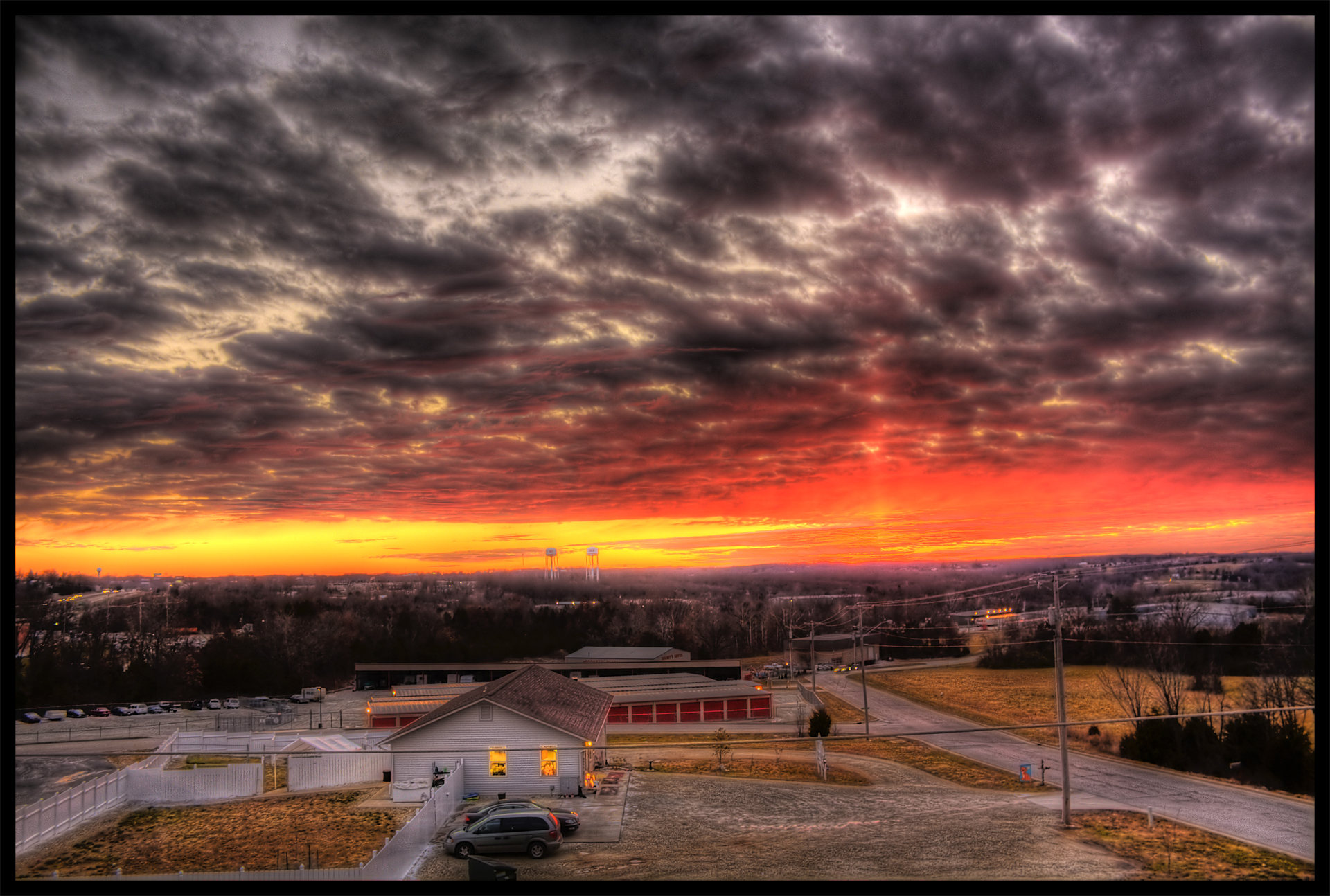
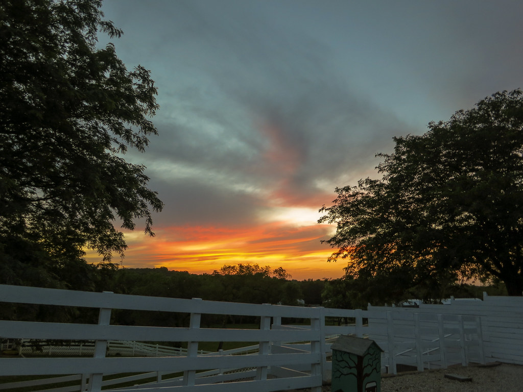
Small Town Sunset :: HDR

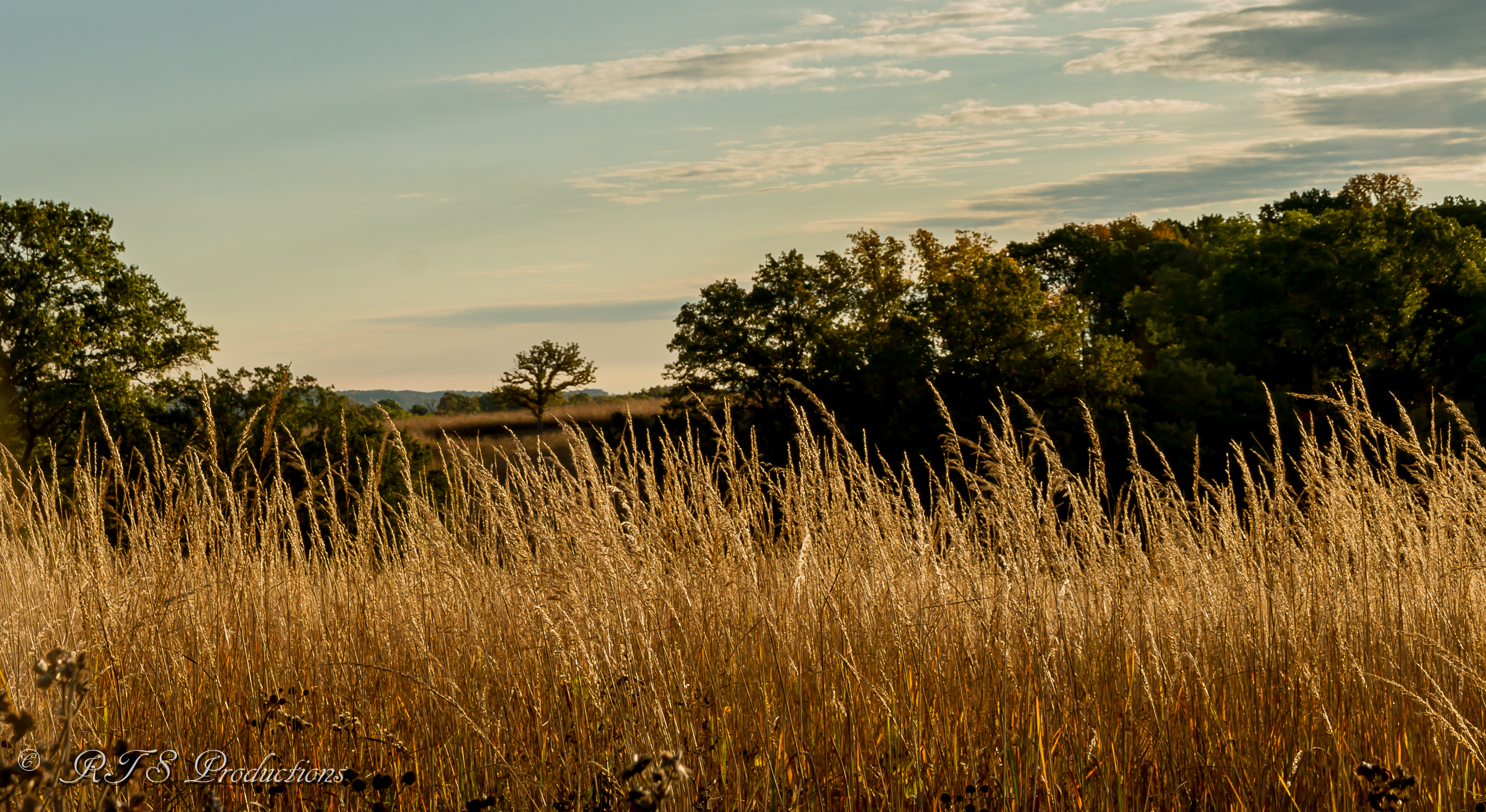
Golden Sod
The Golden Hour!
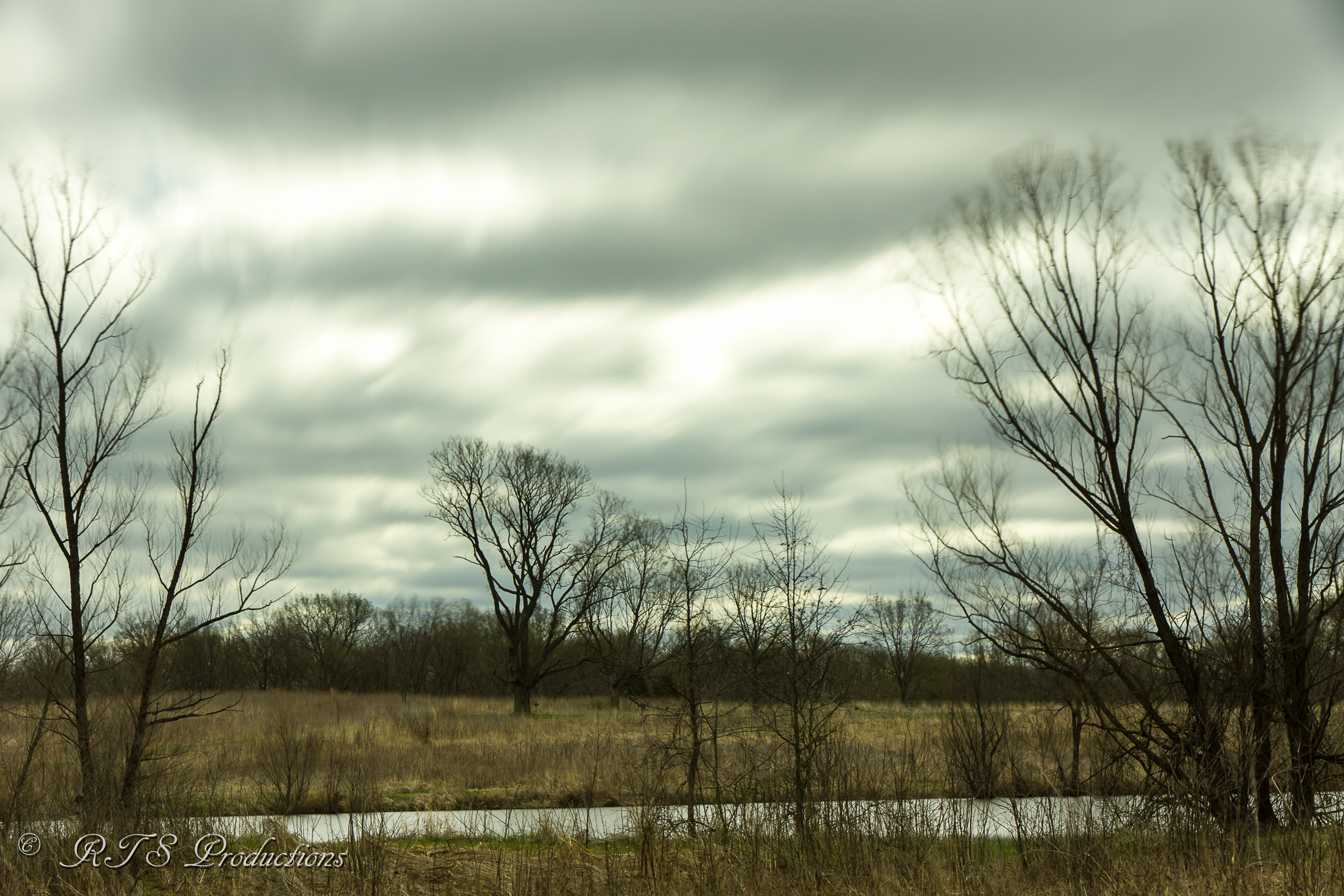
Winter landscape
Reserve Sunrise

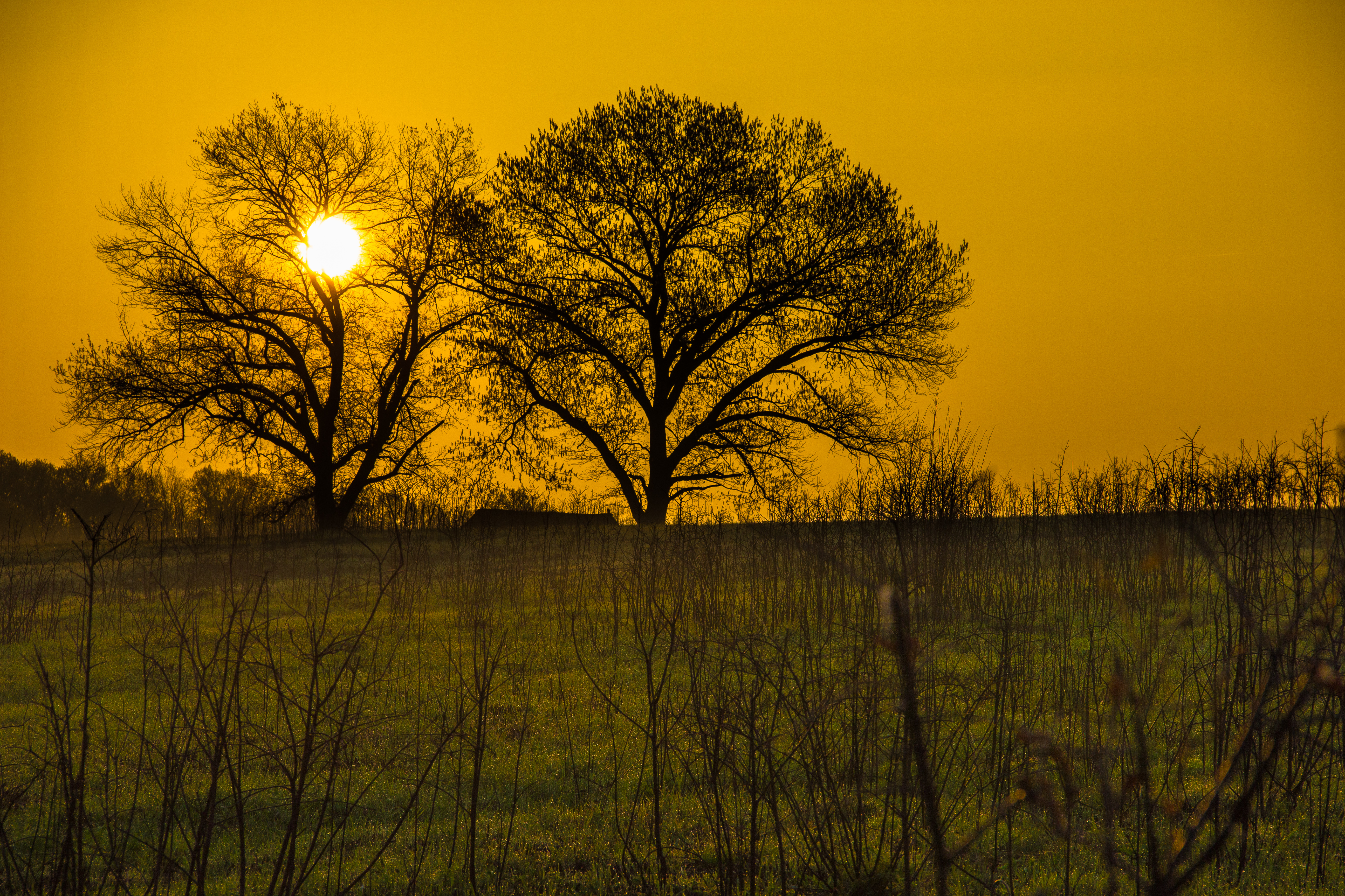
Frontier Sunrise
Setting Sun Reflection
Twilight Meeting in Pacific
Sunset on Route 66 (3 of 3)
Sunset on Route 66 (1 of 3)
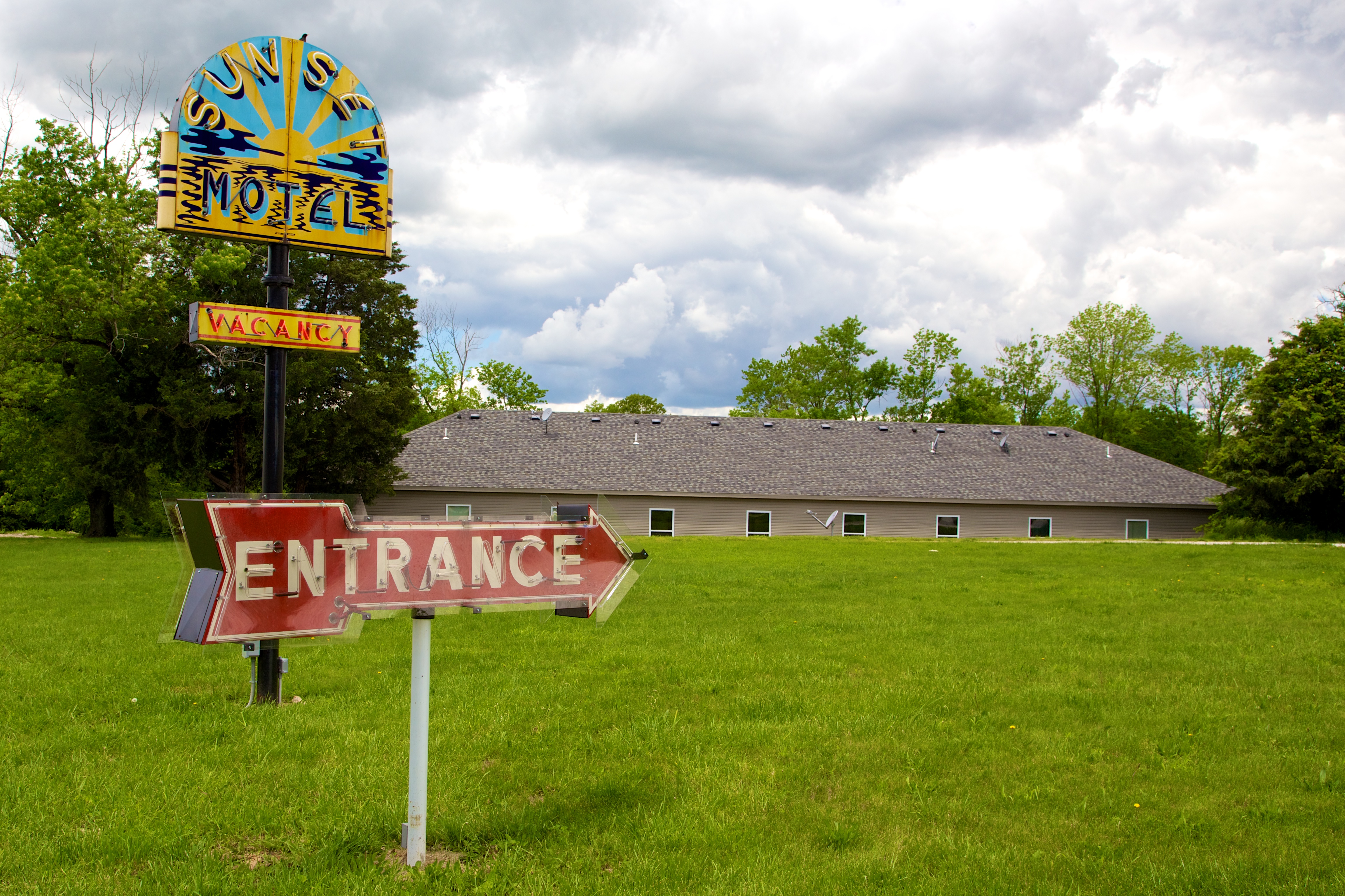
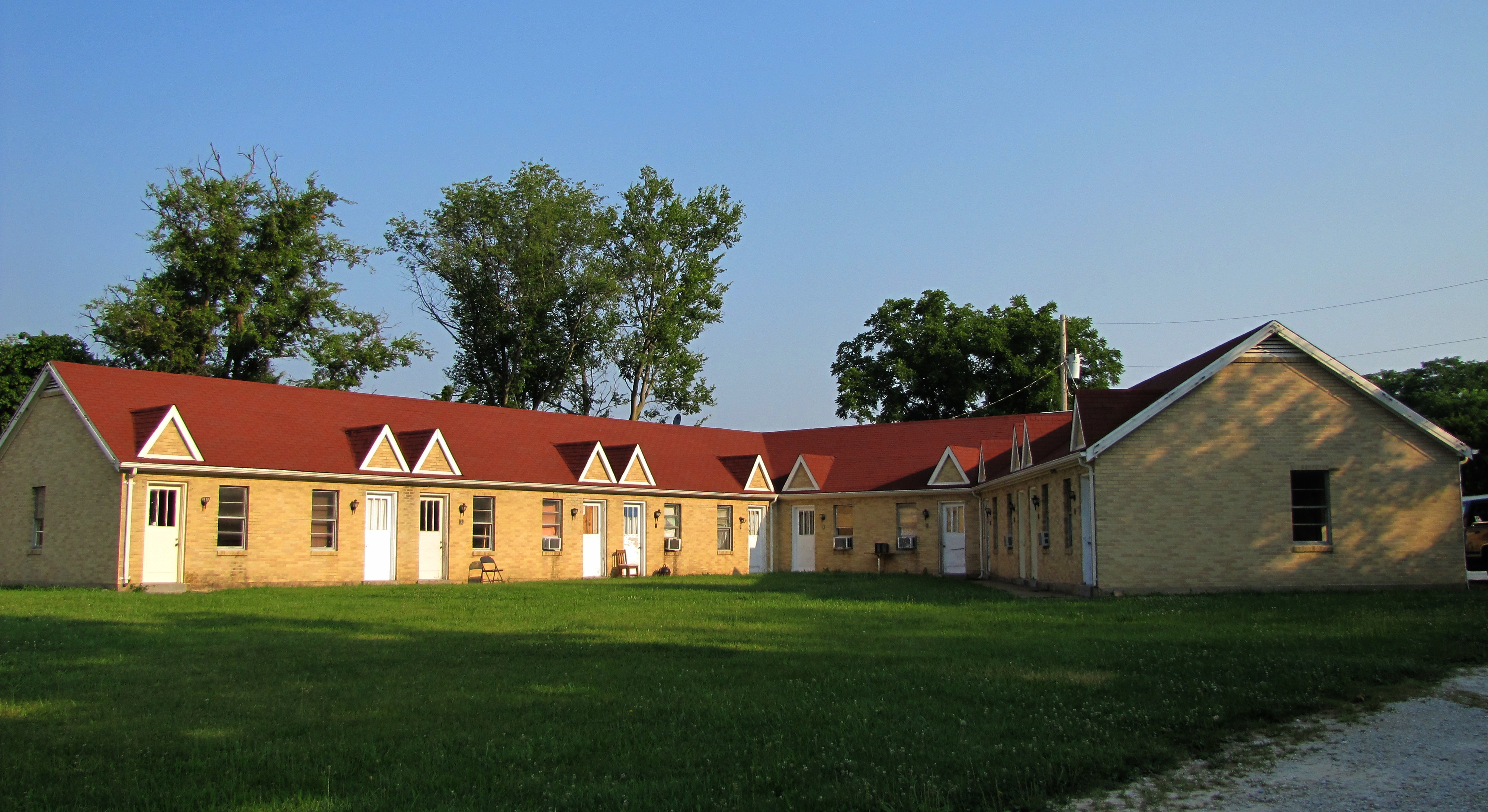
MO Villa Ridge - Sunset Motel
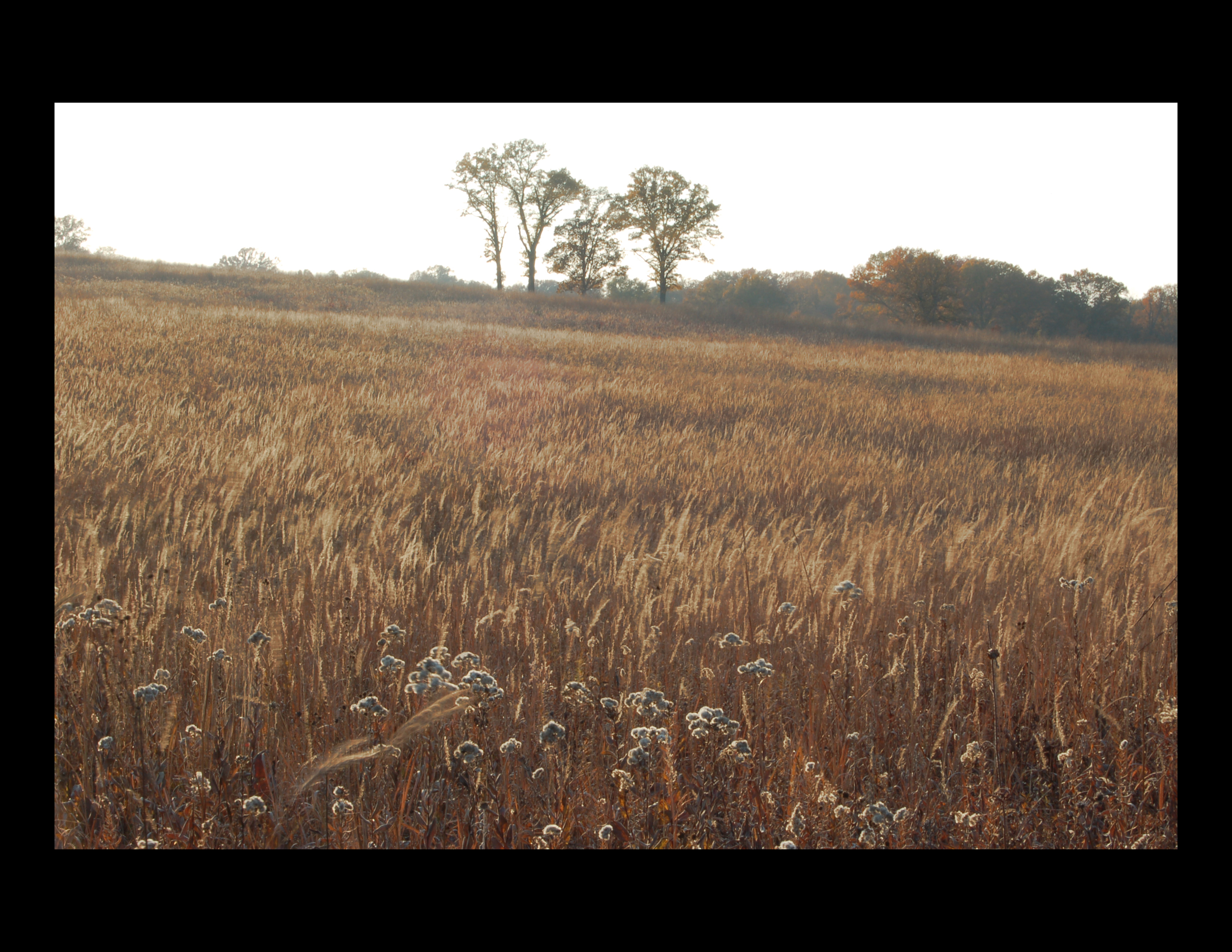
field sunset
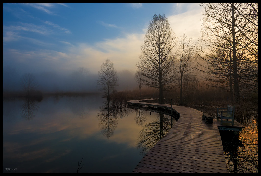
Shaw Nature Reserve Wetlands at Dawn - No. 2

Winter-Sunset-in-the-Backyard

Sunset Motel
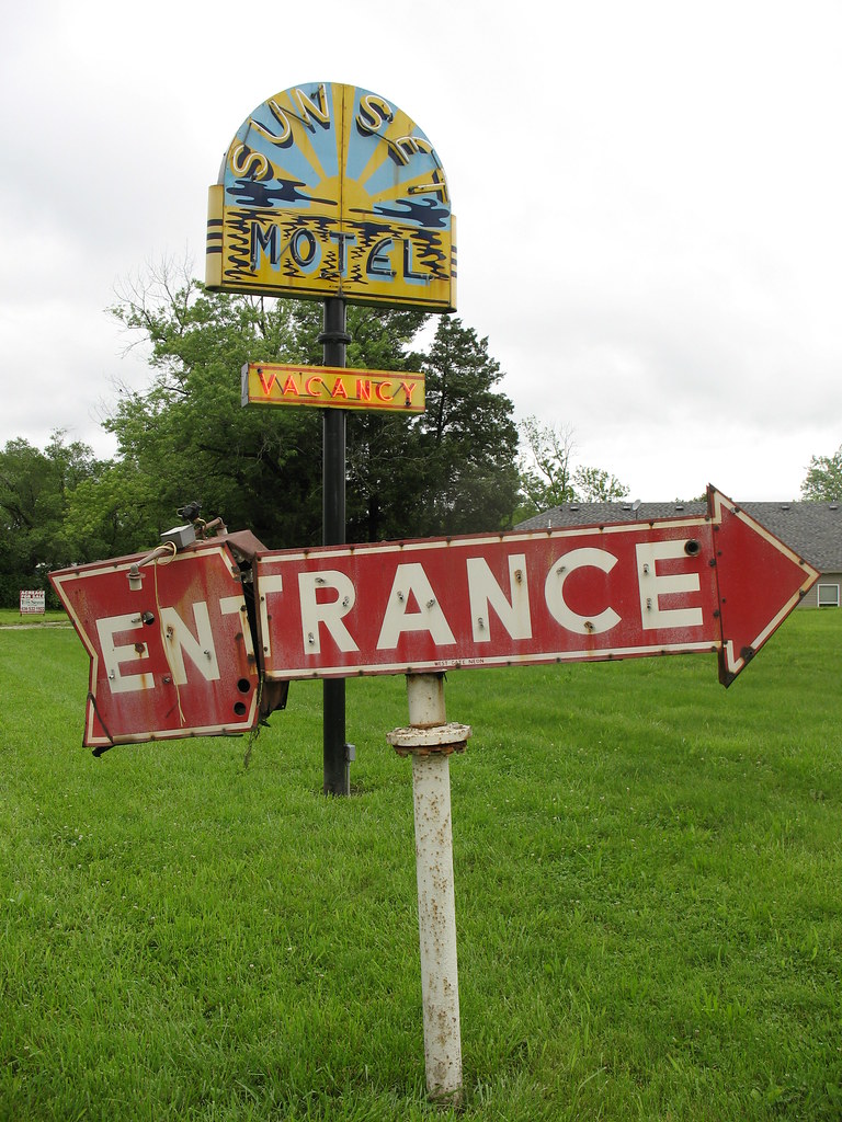
Sunset Motel Neon Sign 2 Villa Ridge MO
Sunset on Purina Farms
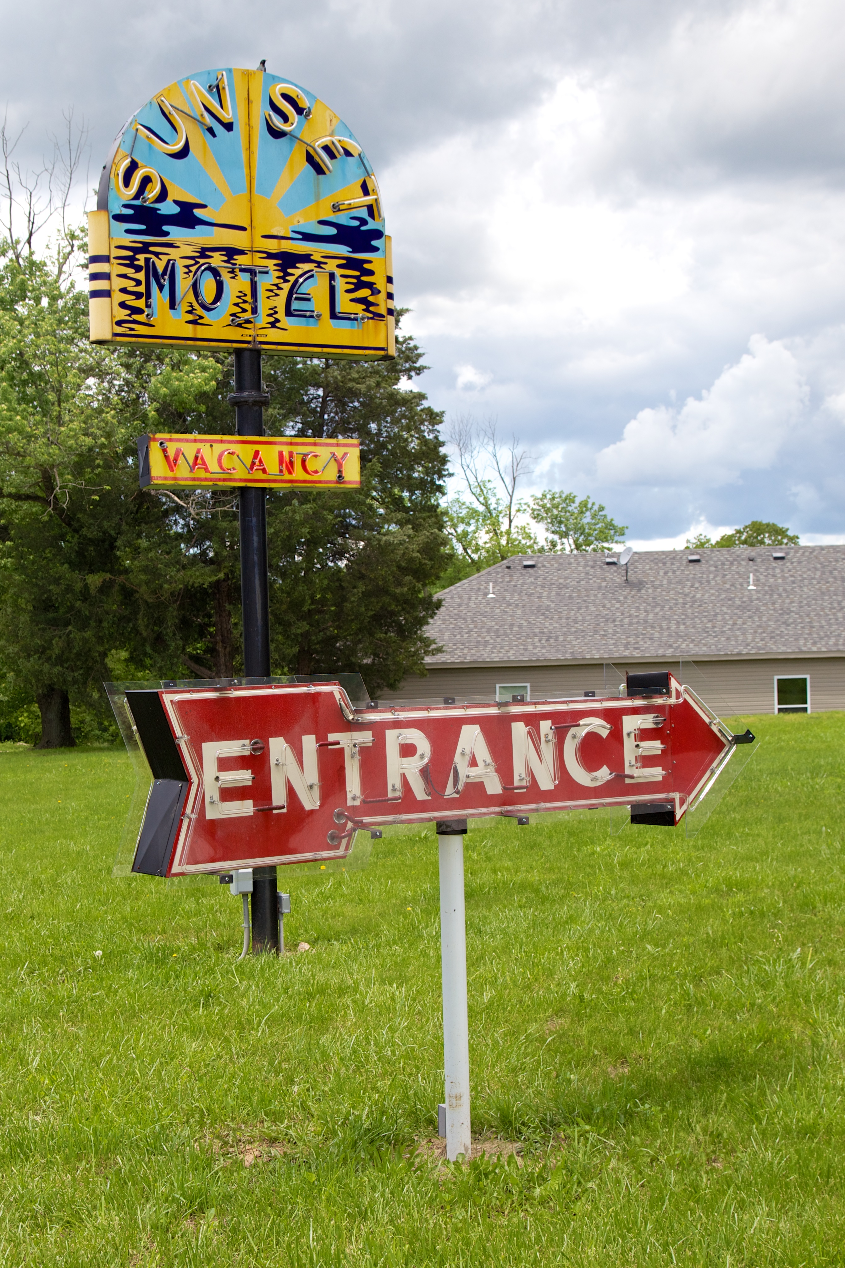
MO Villa Ridge - Sunset Motel

Pacific sunset
Sunset on Route 66 (2 of 3)
Sunset, in Pacific, Missouri, USA
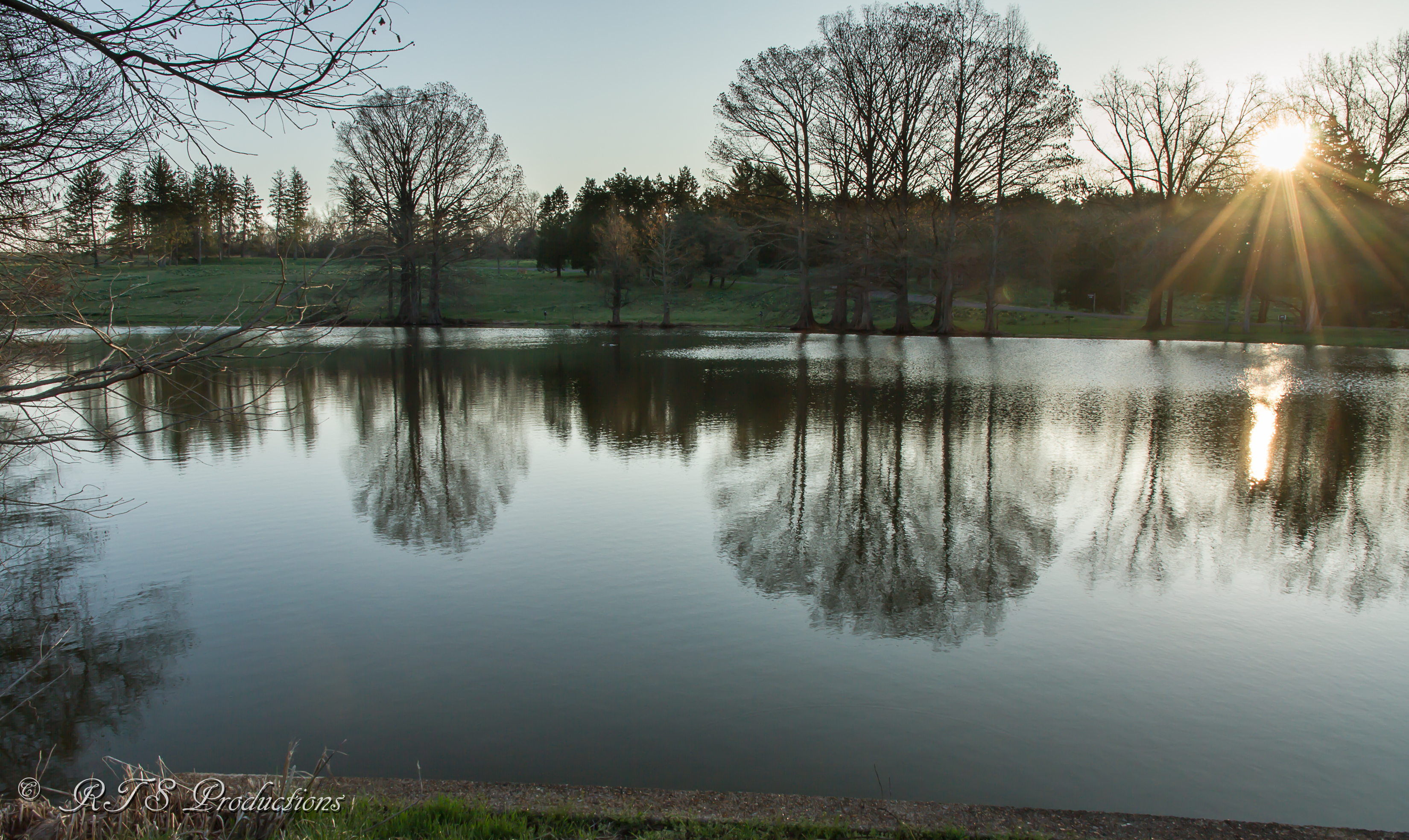
Sunrise reflections
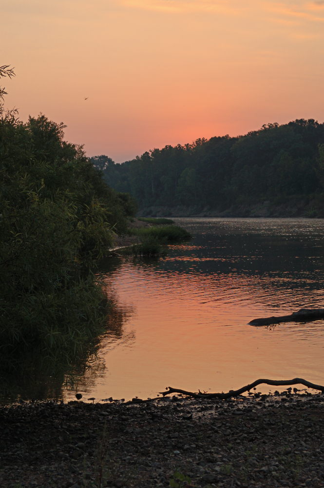
Sunrise over the Meramec River, at Shaw Nature Reserve, in Gray Summit, Missouri, USA
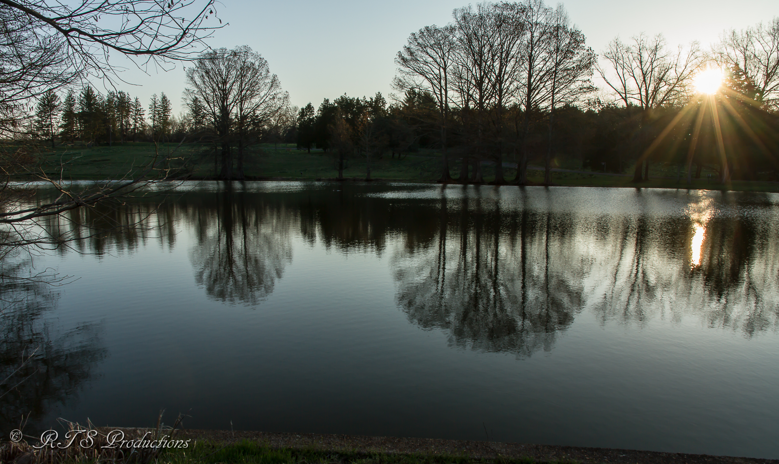
Reflections at sunrise
Bridle Trail Dr, Robertsville, MO アメリカ合衆国Bridle Trail Driveの地図
別の場所を検索
近所の場所
アメリカ合衆国 ミズーリ州 カルベイ
Oak Ridge Rd, Robertsville, MO アメリカ合衆国
アメリカ合衆国 〒 ミズーリ州 ロバーツビル
Wild Plum Valley, Robertsville, MO アメリカ合衆国
Amber Way, Catawissa, MO アメリカ合衆国The Lift Superstore
Old Cove Rd, St Clair, MO アメリカ合衆国Old Cove Canoe and Kayak
アメリカ合衆国 〒 ミズーリ州 カタウィッサ
Tom Frost Rd, Catawissa, MO アメリカ合衆国
Township Ln, Dittmer, MO アメリカ合衆国
Mossy Ridge Way, Pacific, MO アメリカ合衆国
8 Capper Dr, Pacific, MO アメリカ合衆国
9 Capper Dr, Pacific, MO アメリカ合衆国Angeles Corporation
Hwy At, Villa Ridge, MO アメリカ合衆国
2 Dogwood Trail E, Pacific, MO アメリカ合衆国
State Hwy AT, Villa Ridge, MO アメリカ合衆国Dollar General
Denton Rd, Pacific, MO アメリカ合衆国
E Villa Ridge Rd, Villa Ridge, MO アメリカ合衆国
アメリカ合衆国 ミズーリ州 グレー・サミット
Pinewood Dr, Pacific, MO アメリカ合衆国
アメリカ合衆国 〒 ミズーリ州 ヴィラ・リッジ
最近の検索
- アメリカ合衆国 アラスカ州 レッド・ドッグ・マイン日の出日の入り時間
- Am bhf, Borken, ドイツアム・バーンホーフ日の出日の入り時間
- 4th St E, Sonoma, CA, USA日の出日の入り時間
- Oakland Ave, Williamsport, PA アメリカ合衆国日の出日の入り時間
- Via Roma, Pieranica CR, イタリアローマ通り日の出日の入り時間
- クロアチア 〒 ドゥブロブニク GradClock Tower of Dubrovnik日の出日の入り時間
- アルゼンチン チュブ州 トレリュー日の出日の入り時間
- Hartfords Bluff Cir, Mt Pleasant, SC アメリカ合衆国日の出日の入り時間
- 日本、熊本県熊本市北区日の出日の入り時間
- 中華人民共和国 福州市 平潭県 平潭島日の出日の入り時間