Big Bend Rd, Montgomery Creek, CA アメリカ合衆国日の出日の入り時間
Location: アメリカ合衆国 > カリフォルニア州 > シャスタ > アメリカ合衆国 〒 カリフォルニア州 モントゴメリー・クリーク >
時間帯:
America/Los_Angeles
現地時間:
2025-07-05 19:04:44
経度:
-121.896441
緯度:
40.893786
今日の日の出時刻:
05:42:53 AM
今日の日の入時刻:
08:42:08 PM
今日の日長:
14h 59m 15s
明日の日の出時刻:
05:43:32 AM
明日の日の入時刻:
08:41:48 PM
明日の日長:
14h 58m 16s
すべて表示する
| 日付 | 日出 | 日没 | 日長 |
|---|---|---|---|
| 2025年01月01日 | 07:32:10 AM | 04:51:27 PM | 9h 19m 17s |
| 2025年01月02日 | 07:32:12 AM | 04:52:21 PM | 9h 20m 9s |
| 2025年01月03日 | 07:32:11 AM | 04:53:15 PM | 9h 21m 4s |
| 2025年01月04日 | 07:32:09 AM | 04:54:11 PM | 9h 22m 2s |
| 2025年01月05日 | 07:32:04 AM | 04:55:09 PM | 9h 23m 5s |
| 2025年01月06日 | 07:31:57 AM | 04:56:07 PM | 9h 24m 10s |
| 2025年01月07日 | 07:31:47 AM | 04:57:07 PM | 9h 25m 20s |
| 2025年01月08日 | 07:31:35 AM | 04:58:08 PM | 9h 26m 33s |
| 2025年01月09日 | 07:31:21 AM | 04:59:11 PM | 9h 27m 50s |
| 2025年01月10日 | 07:31:05 AM | 05:00:14 PM | 9h 29m 9s |
| 2025年01月11日 | 07:30:47 AM | 05:01:19 PM | 9h 30m 32s |
| 2025年01月12日 | 07:30:26 AM | 05:02:24 PM | 9h 31m 58s |
| 2025年01月13日 | 07:30:03 AM | 05:03:31 PM | 9h 33m 28s |
| 2025年01月14日 | 07:29:38 AM | 05:04:38 PM | 9h 35m 0s |
| 2025年01月15日 | 07:29:11 AM | 05:05:46 PM | 9h 36m 35s |
| 2025年01月16日 | 07:28:41 AM | 05:06:55 PM | 9h 38m 14s |
| 2025年01月17日 | 07:28:10 AM | 05:08:04 PM | 9h 39m 54s |
| 2025年01月18日 | 07:27:36 AM | 05:09:14 PM | 9h 41m 38s |
| 2025年01月19日 | 07:27:00 AM | 05:10:25 PM | 9h 43m 25s |
| 2025年01月20日 | 07:26:22 AM | 05:11:36 PM | 9h 45m 14s |
| 2025年01月21日 | 07:25:42 AM | 05:12:48 PM | 9h 47m 6s |
| 2025年01月22日 | 07:25:00 AM | 05:14:01 PM | 9h 49m 1s |
| 2025年01月23日 | 07:24:17 AM | 05:15:13 PM | 9h 50m 56s |
| 2025年01月24日 | 07:23:31 AM | 05:16:26 PM | 9h 52m 55s |
| 2025年01月25日 | 07:22:43 AM | 05:17:40 PM | 9h 54m 57s |
| 2025年01月26日 | 07:21:53 AM | 05:18:53 PM | 9h 57m 0s |
| 2025年01月27日 | 07:21:02 AM | 05:20:07 PM | 9h 59m 5s |
| 2025年01月28日 | 07:20:09 AM | 05:21:21 PM | 10h 1m 12s |
| 2025年01月29日 | 07:19:14 AM | 05:22:35 PM | 10h 3m 21s |
| 2025年01月30日 | 07:18:17 AM | 05:23:50 PM | 10h 5m 33s |
| 2025年01月31日 | 07:17:18 AM | 05:25:04 PM | 10h 7m 46s |
| 2025年02月01日 | 07:16:18 AM | 05:26:19 PM | 10h 10m 1s |
| 2025年02月02日 | 07:15:16 AM | 05:27:33 PM | 10h 12m 17s |
| 2025年02月03日 | 07:14:13 AM | 05:28:48 PM | 10h 14m 35s |
| 2025年02月04日 | 07:13:07 AM | 05:30:02 PM | 10h 16m 55s |
| 2025年02月05日 | 07:12:01 AM | 05:31:17 PM | 10h 19m 16s |
| 2025年02月06日 | 07:10:53 AM | 05:32:31 PM | 10h 21m 38s |
| 2025年02月07日 | 07:09:43 AM | 05:33:45 PM | 10h 24m 2s |
| 2025年02月08日 | 07:08:32 AM | 05:34:59 PM | 10h 26m 27s |
| 2025年02月09日 | 07:07:20 AM | 05:36:13 PM | 10h 28m 53s |
| 2025年02月10日 | 07:06:06 AM | 05:37:27 PM | 10h 31m 21s |
| 2025年02月11日 | 07:04:51 AM | 05:38:40 PM | 10h 33m 49s |
| 2025年02月12日 | 07:03:34 AM | 05:39:54 PM | 10h 36m 20s |
| 2025年02月13日 | 07:02:17 AM | 05:41:07 PM | 10h 38m 50s |
| 2025年02月14日 | 07:00:58 AM | 05:42:20 PM | 10h 41m 22s |
| 2025年02月15日 | 06:59:38 AM | 05:43:32 PM | 10h 43m 54s |
| 2025年02月16日 | 06:58:17 AM | 05:44:45 PM | 10h 46m 28s |
| 2025年02月17日 | 06:56:54 AM | 05:45:57 PM | 10h 49m 3s |
| 2025年02月18日 | 06:55:31 AM | 05:47:09 PM | 10h 51m 38s |
| 2025年02月19日 | 06:54:06 AM | 05:48:20 PM | 10h 54m 14s |
| 2025年02月20日 | 06:52:41 AM | 05:49:31 PM | 10h 56m 50s |
| 2025年02月21日 | 06:51:15 AM | 05:50:42 PM | 10h 59m 27s |
| 2025年02月22日 | 06:49:47 AM | 05:51:53 PM | 11h 2m 6s |
| 2025年02月23日 | 06:48:19 AM | 05:53:03 PM | 11h 4m 44s |
| 2025年02月24日 | 06:46:50 AM | 05:54:13 PM | 11h 7m 23s |
| 2025年02月25日 | 06:45:20 AM | 05:55:23 PM | 11h 10m 3s |
| 2025年02月26日 | 06:43:49 AM | 05:56:33 PM | 11h 12m 44s |
| 2025年02月27日 | 06:42:18 AM | 05:57:42 PM | 11h 15m 24s |
| 2025年02月28日 | 06:40:46 AM | 05:58:51 PM | 11h 18m 5s |
| 2025年03月01日 | 06:39:13 AM | 05:59:59 PM | 11h 20m 46s |
| 2025年03月02日 | 06:37:39 AM | 06:01:08 PM | 11h 23m 29s |
| 2025年03月03日 | 06:36:05 AM | 06:02:16 PM | 11h 26m 11s |
| 2025年03月04日 | 06:34:30 AM | 06:03:23 PM | 11h 28m 53s |
| 2025年03月05日 | 06:32:55 AM | 06:04:31 PM | 11h 31m 36s |
| 2025年03月06日 | 06:31:19 AM | 06:05:38 PM | 11h 34m 19s |
| 2025年03月07日 | 06:29:43 AM | 06:06:45 PM | 11h 37m 2s |
| 2025年03月08日 | 06:28:06 AM | 06:07:51 PM | 11h 39m 45s |
| 2025年03月09日 | 07:26:33 AM | 07:08:55 PM | 11h 42m 22s |
| 2025年03月10日 | 07:24:55 AM | 07:10:01 PM | 11h 45m 6s |
| 2025年03月11日 | 07:23:17 AM | 07:11:07 PM | 11h 47m 50s |
| 2025年03月12日 | 07:21:39 AM | 07:12:13 PM | 11h 50m 34s |
| 2025年03月13日 | 07:20:00 AM | 07:13:18 PM | 11h 53m 18s |
| 2025年03月14日 | 07:18:21 AM | 07:14:24 PM | 11h 56m 3s |
| 2025年03月15日 | 07:16:42 AM | 07:15:29 PM | 11h 58m 47s |
| 2025年03月16日 | 07:15:02 AM | 07:16:34 PM | 12h 1m 32s |
| 2025年03月17日 | 07:13:23 AM | 07:17:38 PM | 12h 4m 15s |
| 2025年03月18日 | 07:11:43 AM | 07:18:43 PM | 12h 7m 0s |
| 2025年03月19日 | 07:10:03 AM | 07:19:48 PM | 12h 9m 45s |
| 2025年03月20日 | 07:08:23 AM | 07:20:52 PM | 12h 12m 29s |
| 2025年03月21日 | 07:06:43 AM | 07:21:56 PM | 12h 15m 13s |
| 2025年03月22日 | 07:05:03 AM | 07:23:00 PM | 12h 17m 57s |
| 2025年03月23日 | 07:03:23 AM | 07:24:04 PM | 12h 20m 41s |
| 2025年03月24日 | 07:01:43 AM | 07:25:08 PM | 12h 23m 25s |
| 2025年03月25日 | 07:00:03 AM | 07:26:11 PM | 12h 26m 8s |
| 2025年03月26日 | 06:58:24 AM | 07:27:15 PM | 12h 28m 51s |
| 2025年03月27日 | 06:56:44 AM | 07:28:19 PM | 12h 31m 35s |
| 2025年03月28日 | 06:55:04 AM | 07:29:22 PM | 12h 34m 18s |
| 2025年03月29日 | 06:53:25 AM | 07:30:26 PM | 12h 37m 1s |
| 2025年03月30日 | 06:51:46 AM | 07:31:29 PM | 12h 39m 43s |
| 2025年03月31日 | 06:50:07 AM | 07:32:32 PM | 12h 42m 25s |
| 2025年04月01日 | 06:48:28 AM | 07:33:36 PM | 12h 45m 8s |
| 2025年04月02日 | 06:46:50 AM | 07:34:39 PM | 12h 47m 49s |
| 2025年04月03日 | 06:45:12 AM | 07:35:42 PM | 12h 50m 30s |
| 2025年04月04日 | 06:43:34 AM | 07:36:45 PM | 12h 53m 11s |
| 2025年04月05日 | 06:41:57 AM | 07:37:49 PM | 12h 55m 52s |
| 2025年04月06日 | 06:40:20 AM | 07:38:52 PM | 12h 58m 32s |
| 2025年04月07日 | 06:38:44 AM | 07:39:55 PM | 13h 1m 11s |
| 2025年04月08日 | 06:37:08 AM | 07:40:58 PM | 13h 3m 50s |
| 2025年04月09日 | 06:35:32 AM | 07:42:02 PM | 13h 6m 30s |
| 2025年04月10日 | 06:33:57 AM | 07:43:05 PM | 13h 9m 8s |
| 2025年04月11日 | 06:32:23 AM | 07:44:08 PM | 13h 11m 45s |
| 2025年04月12日 | 06:30:50 AM | 07:45:12 PM | 13h 14m 22s |
| 2025年04月13日 | 06:29:17 AM | 07:46:15 PM | 13h 16m 58s |
| 2025年04月14日 | 06:27:44 AM | 07:47:18 PM | 13h 19m 34s |
| 2025年04月15日 | 06:26:13 AM | 07:48:22 PM | 13h 22m 9s |
| 2025年04月16日 | 06:24:42 AM | 07:49:25 PM | 13h 24m 43s |
| 2025年04月17日 | 06:23:12 AM | 07:50:29 PM | 13h 27m 17s |
| 2025年04月18日 | 06:21:43 AM | 07:51:32 PM | 13h 29m 49s |
| 2025年04月19日 | 06:20:14 AM | 07:52:35 PM | 13h 32m 21s |
| 2025年04月20日 | 06:18:47 AM | 07:53:39 PM | 13h 34m 52s |
| 2025年04月21日 | 06:17:20 AM | 07:54:42 PM | 13h 37m 22s |
| 2025年04月22日 | 06:15:54 AM | 07:55:46 PM | 13h 39m 52s |
| 2025年04月23日 | 06:14:29 AM | 07:56:49 PM | 13h 42m 20s |
| 2025年04月24日 | 06:13:06 AM | 07:57:52 PM | 13h 44m 46s |
| 2025年04月25日 | 06:11:43 AM | 07:58:56 PM | 13h 47m 13s |
| 2025年04月26日 | 06:10:21 AM | 07:59:59 PM | 13h 49m 38s |
| 2025年04月27日 | 06:09:01 AM | 08:01:02 PM | 13h 52m 1s |
| 2025年04月28日 | 06:07:41 AM | 08:02:05 PM | 13h 54m 24s |
| 2025年04月29日 | 06:06:23 AM | 08:03:08 PM | 13h 56m 45s |
| 2025年04月30日 | 06:05:06 AM | 08:04:11 PM | 13h 59m 5s |
| 2025年05月01日 | 06:03:50 AM | 08:05:14 PM | 14h 1m 24s |
| 2025年05月02日 | 06:02:35 AM | 08:06:16 PM | 14h 3m 41s |
| 2025年05月03日 | 06:01:22 AM | 08:07:19 PM | 14h 5m 57s |
| 2025年05月04日 | 06:00:10 AM | 08:08:21 PM | 14h 8m 11s |
| 2025年05月05日 | 05:58:59 AM | 08:09:23 PM | 14h 10m 24s |
| 2025年05月06日 | 05:57:49 AM | 08:10:24 PM | 14h 12m 35s |
| 2025年05月07日 | 05:56:42 AM | 08:11:26 PM | 14h 14m 44s |
| 2025年05月08日 | 05:55:35 AM | 08:12:27 PM | 14h 16m 52s |
| 2025年05月09日 | 05:54:30 AM | 08:13:28 PM | 14h 18m 58s |
| 2025年05月10日 | 05:53:27 AM | 08:14:28 PM | 14h 21m 1s |
| 2025年05月11日 | 05:52:25 AM | 08:15:28 PM | 14h 23m 3s |
| 2025年05月12日 | 05:51:24 AM | 08:16:28 PM | 14h 25m 4s |
| 2025年05月13日 | 05:50:25 AM | 08:17:27 PM | 14h 27m 2s |
| 2025年05月14日 | 05:49:28 AM | 08:18:26 PM | 14h 28m 58s |
| 2025年05月15日 | 05:48:32 AM | 08:19:24 PM | 14h 30m 52s |
| 2025年05月16日 | 05:47:38 AM | 08:20:22 PM | 14h 32m 44s |
| 2025年05月17日 | 05:46:46 AM | 08:21:19 PM | 14h 34m 33s |
| 2025年05月18日 | 05:45:56 AM | 08:22:15 PM | 14h 36m 19s |
| 2025年05月19日 | 05:45:07 AM | 08:23:11 PM | 14h 38m 4s |
| 2025年05月20日 | 05:44:20 AM | 08:24:06 PM | 14h 39m 46s |
| 2025年05月21日 | 05:43:35 AM | 08:25:00 PM | 14h 41m 25s |
| 2025年05月22日 | 05:42:52 AM | 08:25:54 PM | 14h 43m 2s |
| 2025年05月23日 | 05:42:10 AM | 08:26:47 PM | 14h 44m 37s |
| 2025年05月24日 | 05:41:30 AM | 08:27:39 PM | 14h 46m 9s |
| 2025年05月25日 | 05:40:53 AM | 08:28:29 PM | 14h 47m 36s |
| 2025年05月26日 | 05:40:17 AM | 08:29:19 PM | 14h 49m 2s |
| 2025年05月27日 | 05:39:43 AM | 08:30:08 PM | 14h 50m 25s |
| 2025年05月28日 | 05:39:11 AM | 08:30:56 PM | 14h 51m 45s |
| 2025年05月29日 | 05:38:41 AM | 08:31:43 PM | 14h 53m 2s |
| 2025年05月30日 | 05:38:12 AM | 08:32:29 PM | 14h 54m 17s |
| 2025年05月31日 | 05:37:46 AM | 08:33:14 PM | 14h 55m 28s |
| 2025年06月01日 | 05:37:22 AM | 08:33:57 PM | 14h 56m 35s |
| 2025年06月02日 | 05:37:00 AM | 08:34:39 PM | 14h 57m 39s |
| 2025年06月03日 | 05:36:40 AM | 08:35:20 PM | 14h 58m 40s |
| 2025年06月04日 | 05:36:22 AM | 08:36:00 PM | 14h 59m 38s |
| 2025年06月05日 | 05:36:05 AM | 08:36:38 PM | 15h 0m 33s |
| 2025年06月06日 | 05:35:51 AM | 08:37:14 PM | 15h 1m 23s |
| 2025年06月07日 | 05:35:39 AM | 08:37:50 PM | 15h 2m 11s |
| 2025年06月08日 | 05:35:29 AM | 08:38:23 PM | 15h 2m 54s |
| 2025年06月09日 | 05:35:21 AM | 08:38:56 PM | 15h 3m 35s |
| 2025年06月10日 | 05:35:14 AM | 08:39:26 PM | 15h 4m 12s |
| 2025年06月11日 | 05:35:10 AM | 08:39:55 PM | 15h 4m 45s |
| 2025年06月12日 | 05:35:08 AM | 08:40:23 PM | 15h 5m 15s |
| 2025年06月13日 | 05:35:08 AM | 08:40:48 PM | 15h 5m 40s |
| 2025年06月14日 | 05:35:10 AM | 08:41:12 PM | 15h 6m 2s |
| 2025年06月15日 | 05:35:13 AM | 08:41:34 PM | 15h 6m 21s |
| 2025年06月16日 | 05:35:19 AM | 08:41:55 PM | 15h 6m 36s |
| 2025年06月17日 | 05:35:26 AM | 08:42:13 PM | 15h 6m 47s |
| 2025年06月18日 | 05:35:36 AM | 08:42:30 PM | 15h 6m 54s |
| 2025年06月19日 | 05:35:47 AM | 08:42:45 PM | 15h 6m 58s |
| 2025年06月20日 | 05:36:00 AM | 08:42:58 PM | 15h 6m 58s |
| 2025年06月21日 | 05:36:15 AM | 08:43:09 PM | 15h 6m 54s |
| 2025年06月22日 | 05:36:32 AM | 08:43:18 PM | 15h 6m 46s |
| 2025年06月23日 | 05:36:50 AM | 08:43:25 PM | 15h 6m 35s |
| 2025年06月24日 | 05:37:11 AM | 08:43:31 PM | 15h 6m 20s |
| 2025年06月25日 | 05:37:33 AM | 08:43:34 PM | 15h 6m 1s |
| 2025年06月26日 | 05:37:56 AM | 08:43:35 PM | 15h 5m 39s |
| 2025年06月27日 | 05:38:21 AM | 08:43:34 PM | 15h 5m 13s |
| 2025年06月28日 | 05:38:48 AM | 08:43:32 PM | 15h 4m 44s |
| 2025年06月29日 | 05:39:17 AM | 08:43:27 PM | 15h 4m 10s |
| 2025年06月30日 | 05:39:47 AM | 08:43:20 PM | 15h 3m 33s |
| 2025年07月01日 | 05:40:18 AM | 08:43:11 PM | 15h 2m 53s |
| 2025年07月02日 | 05:40:51 AM | 08:43:00 PM | 15h 2m 9s |
| 2025年07月03日 | 05:41:26 AM | 08:42:47 PM | 15h 1m 21s |
| 2025年07月04日 | 05:42:01 AM | 08:42:32 PM | 15h 0m 31s |
| 2025年07月05日 | 05:42:39 AM | 08:42:15 PM | 14h 59m 36s |
| 2025年07月06日 | 05:43:17 AM | 08:41:56 PM | 14h 58m 39s |
| 2025年07月07日 | 05:43:57 AM | 08:41:35 PM | 14h 57m 38s |
| 2025年07月08日 | 05:44:38 AM | 08:41:11 PM | 14h 56m 33s |
| 2025年07月09日 | 05:45:20 AM | 08:40:46 PM | 14h 55m 26s |
| 2025年07月10日 | 05:46:03 AM | 08:40:19 PM | 14h 54m 16s |
| 2025年07月11日 | 05:46:47 AM | 08:39:50 PM | 14h 53m 3s |
| 2025年07月12日 | 05:47:32 AM | 08:39:18 PM | 14h 51m 46s |
| 2025年07月13日 | 05:48:19 AM | 08:38:45 PM | 14h 50m 26s |
| 2025年07月14日 | 05:49:06 AM | 08:38:10 PM | 14h 49m 4s |
| 2025年07月15日 | 05:49:54 AM | 08:37:33 PM | 14h 47m 39s |
| 2025年07月16日 | 05:50:43 AM | 08:36:54 PM | 14h 46m 11s |
| 2025年07月17日 | 05:51:33 AM | 08:36:13 PM | 14h 44m 40s |
| 2025年07月18日 | 05:52:24 AM | 08:35:30 PM | 14h 43m 6s |
| 2025年07月19日 | 05:53:15 AM | 08:34:45 PM | 14h 41m 30s |
| 2025年07月20日 | 05:54:07 AM | 08:33:59 PM | 14h 39m 52s |
| 2025年07月21日 | 05:55:00 AM | 08:33:11 PM | 14h 38m 11s |
| 2025年07月22日 | 05:55:53 AM | 08:32:20 PM | 14h 36m 27s |
| 2025年07月23日 | 05:56:47 AM | 08:31:29 PM | 14h 34m 42s |
| 2025年07月24日 | 05:57:42 AM | 08:30:35 PM | 14h 32m 53s |
| 2025年07月25日 | 05:58:37 AM | 08:29:40 PM | 14h 31m 3s |
| 2025年07月26日 | 05:59:33 AM | 08:28:43 PM | 14h 29m 10s |
| 2025年07月27日 | 06:00:29 AM | 08:27:44 PM | 14h 27m 15s |
| 2025年07月28日 | 06:01:25 AM | 08:26:44 PM | 14h 25m 19s |
| 2025年07月29日 | 06:02:22 AM | 08:25:42 PM | 14h 23m 20s |
| 2025年07月30日 | 06:03:19 AM | 08:24:38 PM | 14h 21m 19s |
| 2025年07月31日 | 06:04:16 AM | 08:23:33 PM | 14h 19m 17s |
| 2025年08月01日 | 06:05:14 AM | 08:22:27 PM | 14h 17m 13s |
| 2025年08月02日 | 06:06:12 AM | 08:21:19 PM | 14h 15m 7s |
| 2025年08月03日 | 06:07:11 AM | 08:20:09 PM | 14h 12m 58s |
| 2025年08月04日 | 06:08:09 AM | 08:18:58 PM | 14h 10m 49s |
| 2025年08月05日 | 06:09:08 AM | 08:17:46 PM | 14h 8m 38s |
| 2025年08月06日 | 06:10:07 AM | 08:16:33 PM | 14h 6m 26s |
| 2025年08月07日 | 06:11:06 AM | 08:15:18 PM | 14h 4m 12s |
| 2025年08月08日 | 06:12:05 AM | 08:14:02 PM | 14h 1m 57s |
| 2025年08月09日 | 06:13:04 AM | 08:12:44 PM | 13h 59m 40s |
| 2025年08月10日 | 06:14:03 AM | 08:11:25 PM | 13h 57m 22s |
| 2025年08月11日 | 06:15:03 AM | 08:10:05 PM | 13h 55m 2s |
| 2025年08月12日 | 06:16:02 AM | 08:08:44 PM | 13h 52m 42s |
| 2025年08月13日 | 06:17:02 AM | 08:07:22 PM | 13h 50m 20s |
| 2025年08月14日 | 06:18:01 AM | 08:05:59 PM | 13h 47m 58s |
| 2025年08月15日 | 06:19:01 AM | 08:04:35 PM | 13h 45m 34s |
| 2025年08月16日 | 06:20:00 AM | 08:03:09 PM | 13h 43m 9s |
| 2025年08月17日 | 06:21:00 AM | 08:01:43 PM | 13h 40m 43s |
| 2025年08月18日 | 06:21:59 AM | 08:00:16 PM | 13h 38m 17s |
| 2025年08月19日 | 06:22:59 AM | 07:58:47 PM | 13h 35m 48s |
| 2025年08月20日 | 06:23:58 AM | 07:57:18 PM | 13h 33m 20s |
| 2025年08月21日 | 06:24:58 AM | 07:55:48 PM | 13h 30m 50s |
| 2025年08月22日 | 06:25:57 AM | 07:54:17 PM | 13h 28m 20s |
| 2025年08月23日 | 06:26:56 AM | 07:52:45 PM | 13h 25m 49s |
| 2025年08月24日 | 06:27:56 AM | 07:51:13 PM | 13h 23m 17s |
| 2025年08月25日 | 06:28:55 AM | 07:49:40 PM | 13h 20m 45s |
| 2025年08月26日 | 06:29:54 AM | 07:48:06 PM | 13h 18m 12s |
| 2025年08月27日 | 06:30:53 AM | 07:46:31 PM | 13h 15m 38s |
| 2025年08月28日 | 06:31:52 AM | 07:44:56 PM | 13h 13m 4s |
| 2025年08月29日 | 06:32:52 AM | 07:43:20 PM | 13h 10m 28s |
| 2025年08月30日 | 06:33:51 AM | 07:41:43 PM | 13h 7m 52s |
| 2025年08月31日 | 06:34:50 AM | 07:40:06 PM | 13h 5m 16s |
| 2025年09月01日 | 06:35:48 AM | 07:38:28 PM | 13h 2m 40s |
| 2025年09月02日 | 06:36:47 AM | 07:36:50 PM | 13h 0m 3s |
| 2025年09月03日 | 06:37:46 AM | 07:35:12 PM | 12h 57m 26s |
| 2025年09月04日 | 06:38:45 AM | 07:33:32 PM | 12h 54m 47s |
| 2025年09月05日 | 06:39:44 AM | 07:31:53 PM | 12h 52m 9s |
| 2025年09月06日 | 06:40:43 AM | 07:30:13 PM | 12h 49m 30s |
| 2025年09月07日 | 06:41:41 AM | 07:28:33 PM | 12h 46m 52s |
| 2025年09月08日 | 06:42:40 AM | 07:26:52 PM | 12h 44m 12s |
| 2025年09月09日 | 06:43:39 AM | 07:25:12 PM | 12h 41m 33s |
| 2025年09月10日 | 06:44:38 AM | 07:23:30 PM | 12h 38m 52s |
| 2025年09月11日 | 06:45:37 AM | 07:21:49 PM | 12h 36m 12s |
| 2025年09月12日 | 06:46:36 AM | 07:20:08 PM | 12h 33m 32s |
| 2025年09月13日 | 06:47:35 AM | 07:18:26 PM | 12h 30m 51s |
| 2025年09月14日 | 06:48:34 AM | 07:16:44 PM | 12h 28m 10s |
| 2025年09月15日 | 06:49:33 AM | 07:15:02 PM | 12h 25m 29s |
| 2025年09月16日 | 06:50:32 AM | 07:13:20 PM | 12h 22m 48s |
| 2025年09月17日 | 06:51:31 AM | 07:11:38 PM | 12h 20m 7s |
| 2025年09月18日 | 06:52:30 AM | 07:09:56 PM | 12h 17m 26s |
| 2025年09月19日 | 06:53:30 AM | 07:08:14 PM | 12h 14m 44s |
| 2025年09月20日 | 06:54:29 AM | 07:06:32 PM | 12h 12m 3s |
| 2025年09月21日 | 06:55:29 AM | 07:04:50 PM | 12h 9m 21s |
| 2025年09月22日 | 06:56:29 AM | 07:03:08 PM | 12h 6m 39s |
| 2025年09月23日 | 06:57:29 AM | 07:01:26 PM | 12h 3m 57s |
| 2025年09月24日 | 06:58:29 AM | 06:59:44 PM | 12h 1m 15s |
| 2025年09月25日 | 06:59:29 AM | 06:58:03 PM | 11h 58m 34s |
| 2025年09月26日 | 07:00:30 AM | 06:56:21 PM | 11h 55m 51s |
| 2025年09月27日 | 07:01:31 AM | 06:54:40 PM | 11h 53m 9s |
| 2025年09月28日 | 07:02:32 AM | 06:53:00 PM | 11h 50m 28s |
| 2025年09月29日 | 07:03:33 AM | 06:51:19 PM | 11h 47m 46s |
| 2025年09月30日 | 07:04:34 AM | 06:49:39 PM | 11h 45m 5s |
| 2025年10月01日 | 07:05:36 AM | 06:47:59 PM | 11h 42m 23s |
| 2025年10月02日 | 07:06:37 AM | 06:46:20 PM | 11h 39m 43s |
| 2025年10月03日 | 07:07:40 AM | 06:44:41 PM | 11h 37m 1s |
| 2025年10月04日 | 07:08:42 AM | 06:43:03 PM | 11h 34m 21s |
| 2025年10月05日 | 07:09:45 AM | 06:41:25 PM | 11h 31m 40s |
| 2025年10月06日 | 07:10:47 AM | 06:39:47 PM | 11h 29m 0s |
| 2025年10月07日 | 07:11:51 AM | 06:38:10 PM | 11h 26m 19s |
| 2025年10月08日 | 07:12:54 AM | 06:36:34 PM | 11h 23m 40s |
| 2025年10月09日 | 07:13:58 AM | 06:34:58 PM | 11h 21m 0s |
| 2025年10月10日 | 07:15:02 AM | 06:33:23 PM | 11h 18m 21s |
| 2025年10月11日 | 07:16:07 AM | 06:31:49 PM | 11h 15m 42s |
| 2025年10月12日 | 07:17:11 AM | 06:30:15 PM | 11h 13m 4s |
| 2025年10月13日 | 07:18:16 AM | 06:28:42 PM | 11h 10m 26s |
| 2025年10月14日 | 07:19:22 AM | 06:27:10 PM | 11h 7m 48s |
| 2025年10月15日 | 07:20:27 AM | 06:25:39 PM | 11h 5m 12s |
| 2025年10月16日 | 07:21:33 AM | 06:24:09 PM | 11h 2m 36s |
| 2025年10月17日 | 07:22:40 AM | 06:22:39 PM | 10h 59m 59s |
| 2025年10月18日 | 07:23:46 AM | 06:21:10 PM | 10h 57m 24s |
| 2025年10月19日 | 07:24:53 AM | 06:19:43 PM | 10h 54m 50s |
| 2025年10月20日 | 07:26:01 AM | 06:18:16 PM | 10h 52m 15s |
| 2025年10月21日 | 07:27:08 AM | 06:16:50 PM | 10h 49m 42s |
| 2025年10月22日 | 07:28:16 AM | 06:15:26 PM | 10h 47m 10s |
| 2025年10月23日 | 07:29:25 AM | 06:14:02 PM | 10h 44m 37s |
| 2025年10月24日 | 07:30:33 AM | 06:12:40 PM | 10h 42m 7s |
| 2025年10月25日 | 07:31:42 AM | 06:11:18 PM | 10h 39m 36s |
| 2025年10月26日 | 07:32:51 AM | 06:09:58 PM | 10h 37m 7s |
| 2025年10月27日 | 07:34:01 AM | 06:08:40 PM | 10h 34m 39s |
| 2025年10月28日 | 07:35:10 AM | 06:07:22 PM | 10h 32m 12s |
| 2025年10月29日 | 07:36:20 AM | 06:06:06 PM | 10h 29m 46s |
| 2025年10月30日 | 07:37:30 AM | 06:04:51 PM | 10h 27m 21s |
| 2025年10月31日 | 07:38:41 AM | 06:03:37 PM | 10h 24m 56s |
| 2025年11月01日 | 07:39:51 AM | 06:02:25 PM | 10h 22m 34s |
| 2025年11月02日 | 06:41:05 AM | 05:01:12 PM | 10h 20m 7s |
| 2025年11月03日 | 06:42:16 AM | 05:00:03 PM | 10h 17m 47s |
| 2025年11月04日 | 06:43:27 AM | 04:58:55 PM | 10h 15m 28s |
| 2025年11月05日 | 06:44:38 AM | 04:57:49 PM | 10h 13m 11s |
| 2025年11月06日 | 06:45:49 AM | 04:56:45 PM | 10h 10m 56s |
| 2025年11月07日 | 06:47:00 AM | 04:55:42 PM | 10h 8m 42s |
| 2025年11月08日 | 06:48:11 AM | 04:54:41 PM | 10h 6m 30s |
| 2025年11月09日 | 06:49:22 AM | 04:53:41 PM | 10h 4m 19s |
| 2025年11月10日 | 06:50:34 AM | 04:52:44 PM | 10h 2m 10s |
| 2025年11月11日 | 06:51:45 AM | 04:51:48 PM | 10h 0m 3s |
| 2025年11月12日 | 06:52:56 AM | 04:50:54 PM | 9h 57m 58s |
| 2025年11月13日 | 06:54:07 AM | 04:50:01 PM | 9h 55m 54s |
| 2025年11月14日 | 06:55:17 AM | 04:49:11 PM | 9h 53m 54s |
| 2025年11月15日 | 06:56:28 AM | 04:48:23 PM | 9h 51m 55s |
| 2025年11月16日 | 06:57:38 AM | 04:47:36 PM | 9h 49m 58s |
| 2025年11月17日 | 06:58:48 AM | 04:46:52 PM | 9h 48m 4s |
| 2025年11月18日 | 06:59:57 AM | 04:46:09 PM | 9h 46m 12s |
| 2025年11月19日 | 07:01:06 AM | 04:45:29 PM | 9h 44m 23s |
| 2025年11月20日 | 07:02:15 AM | 04:44:50 PM | 9h 42m 35s |
| 2025年11月21日 | 07:03:23 AM | 04:44:14 PM | 9h 40m 51s |
| 2025年11月22日 | 07:04:31 AM | 04:43:40 PM | 9h 39m 9s |
| 2025年11月23日 | 07:05:38 AM | 04:43:07 PM | 9h 37m 29s |
| 2025年11月24日 | 07:06:44 AM | 04:42:37 PM | 9h 35m 53s |
| 2025年11月25日 | 07:07:50 AM | 04:42:10 PM | 9h 34m 20s |
| 2025年11月26日 | 07:08:55 AM | 04:41:44 PM | 9h 32m 49s |
| 2025年11月27日 | 07:09:59 AM | 04:41:21 PM | 9h 31m 22s |
| 2025年11月28日 | 07:11:02 AM | 04:41:00 PM | 9h 29m 58s |
| 2025年11月29日 | 07:12:05 AM | 04:40:41 PM | 9h 28m 36s |
| 2025年11月30日 | 07:13:06 AM | 04:40:24 PM | 9h 27m 18s |
| 2025年12月01日 | 07:14:06 AM | 04:40:10 PM | 9h 26m 4s |
| 2025年12月02日 | 07:15:06 AM | 04:39:58 PM | 9h 24m 52s |
| 2025年12月03日 | 07:16:04 AM | 04:39:49 PM | 9h 23m 45s |
| 2025年12月04日 | 07:17:01 AM | 04:39:41 PM | 9h 22m 40s |
| 2025年12月05日 | 07:17:56 AM | 04:39:36 PM | 9h 21m 40s |
| 2025年12月06日 | 07:18:51 AM | 04:39:34 PM | 9h 20m 43s |
| 2025年12月07日 | 07:19:44 AM | 04:39:33 PM | 9h 19m 49s |
| 2025年12月08日 | 07:20:35 AM | 04:39:35 PM | 9h 19m 0s |
| 2025年12月09日 | 07:21:26 AM | 04:39:40 PM | 9h 18m 14s |
| 2025年12月10日 | 07:22:14 AM | 04:39:46 PM | 9h 17m 32s |
| 2025年12月11日 | 07:23:01 AM | 04:39:55 PM | 9h 16m 54s |
| 2025年12月12日 | 07:23:47 AM | 04:40:06 PM | 9h 16m 19s |
| 2025年12月13日 | 07:24:30 AM | 04:40:20 PM | 9h 15m 50s |
| 2025年12月14日 | 07:25:12 AM | 04:40:36 PM | 9h 15m 24s |
| 2025年12月15日 | 07:25:53 AM | 04:40:54 PM | 9h 15m 1s |
| 2025年12月16日 | 07:26:31 AM | 04:41:14 PM | 9h 14m 43s |
| 2025年12月17日 | 07:27:07 AM | 04:41:36 PM | 9h 14m 29s |
| 2025年12月18日 | 07:27:42 AM | 04:42:01 PM | 9h 14m 19s |
| 2025年12月19日 | 07:28:15 AM | 04:42:28 PM | 9h 14m 13s |
| 2025年12月20日 | 07:28:46 AM | 04:42:57 PM | 9h 14m 11s |
| 2025年12月21日 | 07:29:14 AM | 04:43:28 PM | 9h 14m 14s |
| 2025年12月22日 | 07:29:41 AM | 04:44:01 PM | 9h 14m 20s |
| 2025年12月23日 | 07:30:05 AM | 04:44:36 PM | 9h 14m 31s |
| 2025年12月24日 | 07:30:28 AM | 04:45:13 PM | 9h 14m 45s |
| 2025年12月25日 | 07:30:48 AM | 04:45:52 PM | 9h 15m 4s |
| 2025年12月26日 | 07:31:06 AM | 04:46:32 PM | 9h 15m 26s |
| 2025年12月27日 | 07:31:22 AM | 04:47:15 PM | 9h 15m 53s |
| 2025年12月28日 | 07:31:36 AM | 04:48:00 PM | 9h 16m 24s |
| 2025年12月29日 | 07:31:48 AM | 04:48:46 PM | 9h 16m 58s |
| 2025年12月30日 | 07:31:57 AM | 04:49:34 PM | 9h 17m 37s |
| 2025年12月31日 | 07:32:04 AM | 04:50:23 PM | 9h 18m 19s |
写真
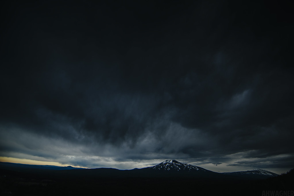
Night at Burney Mountain [03.30.13]
Sleep Walk

Burney Mountain [03.30.13]
_MG_4252.jpg
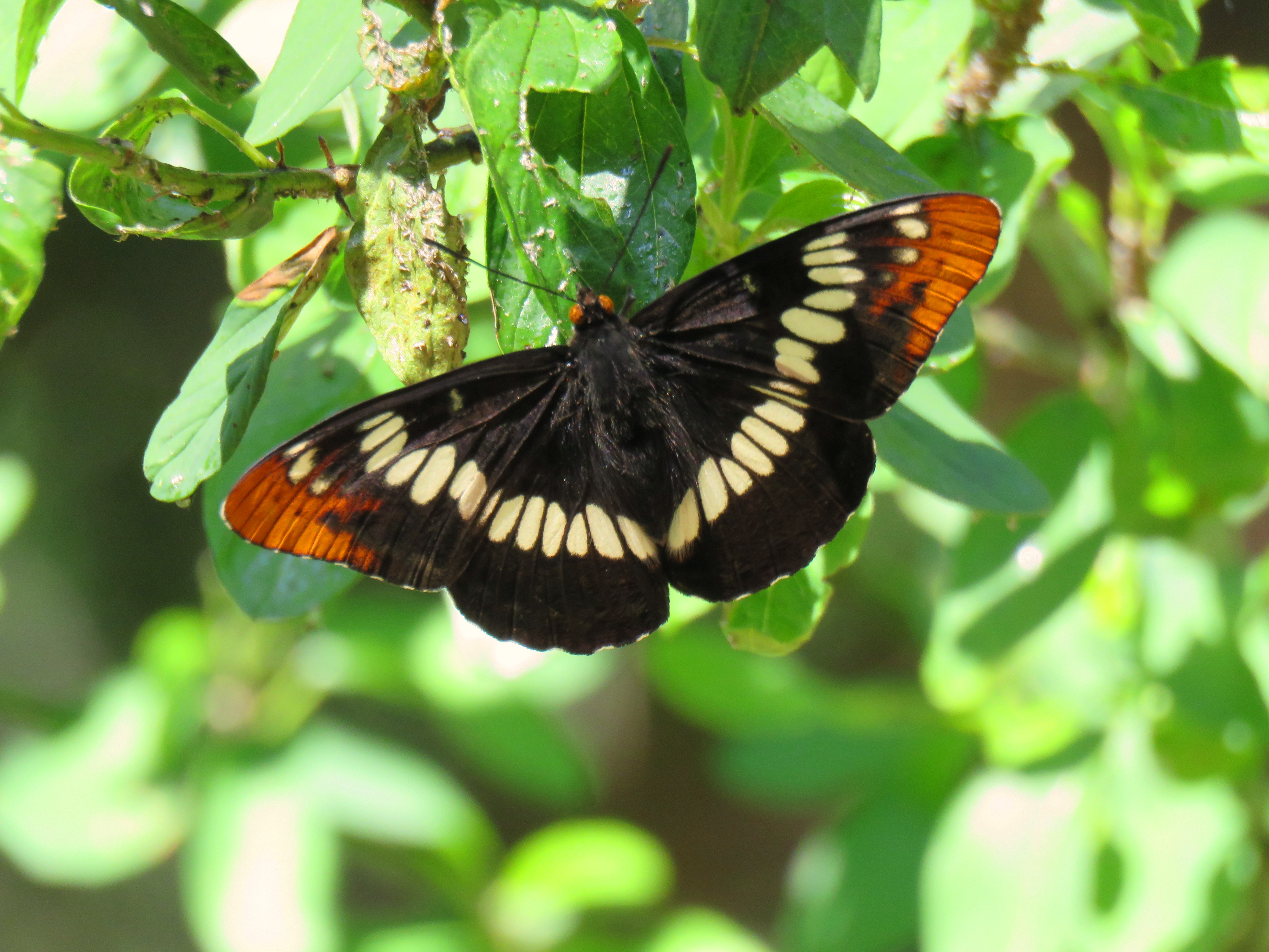
Lorquin's Admiral 6-10-16, Hat Creek CA
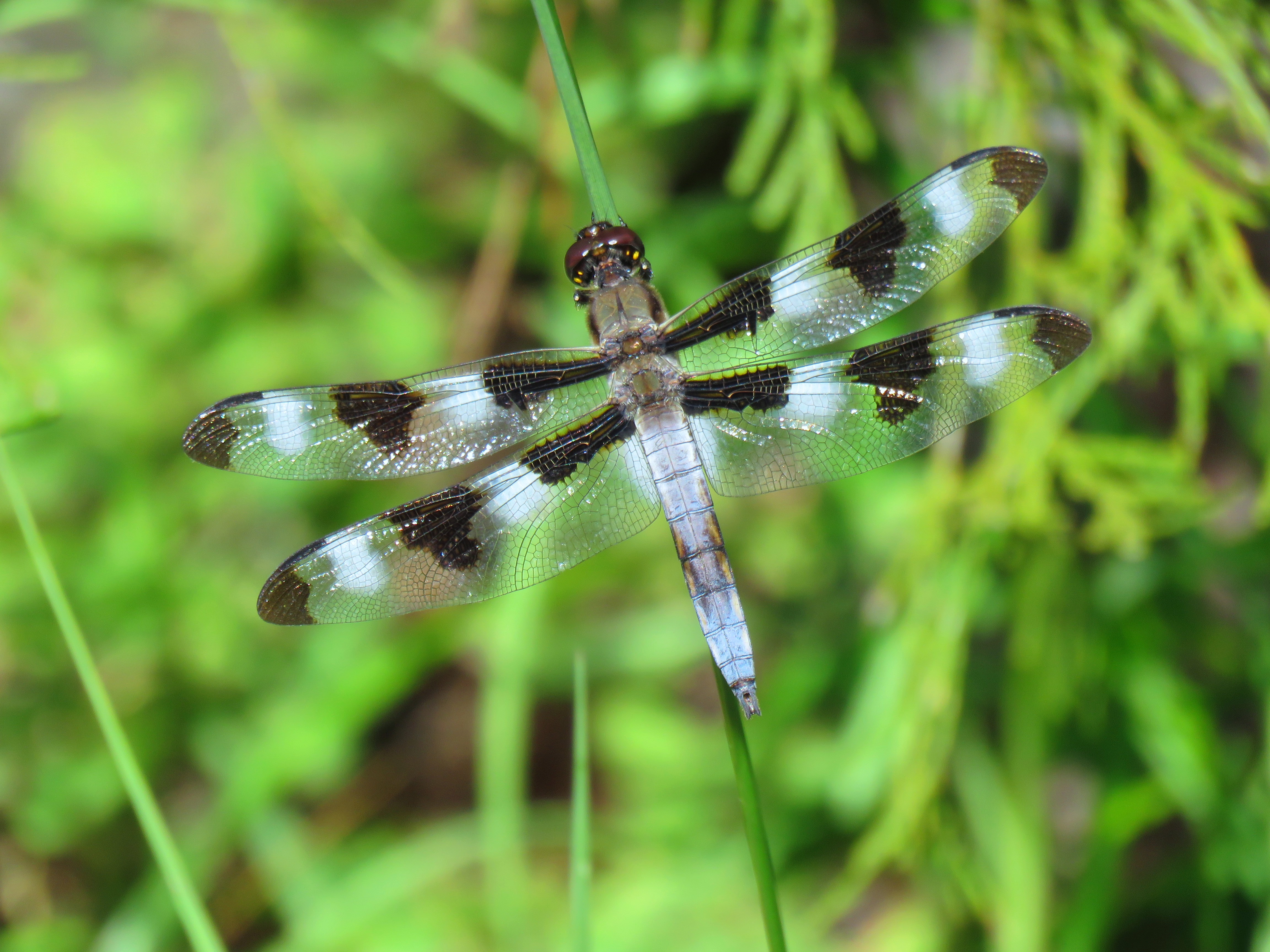
Twelve Spotted Skimmer (male) 6-10-16 Hat Creek CA

HELP with ID
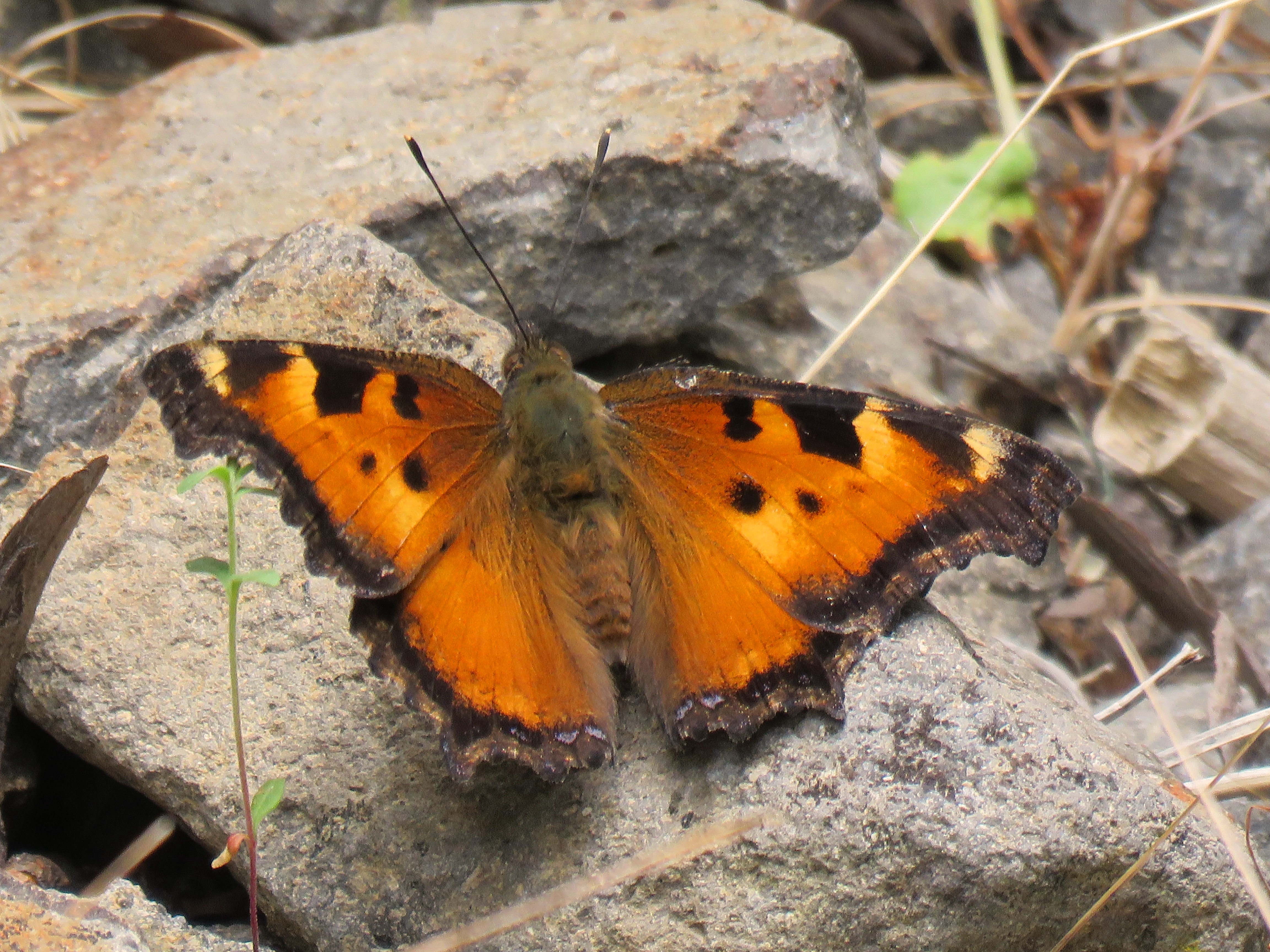
California Tortoiseshell (upperwing)

California Tortoiseshell (lowerwing), Berney CA

Pit Rivet Arm of Lake Shasta
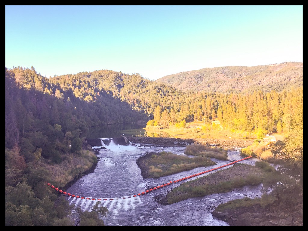
Pit Rivet Arm of Lake Shasta

_7150056.NEF

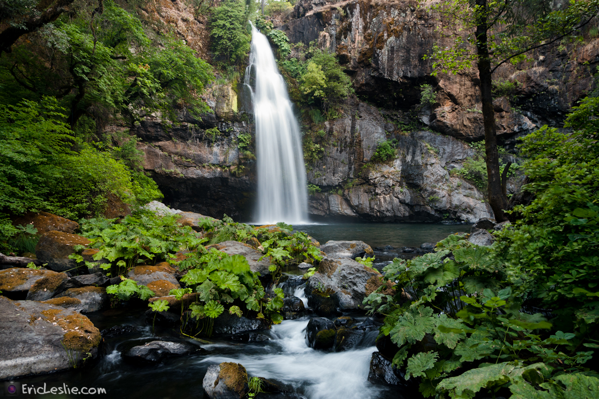
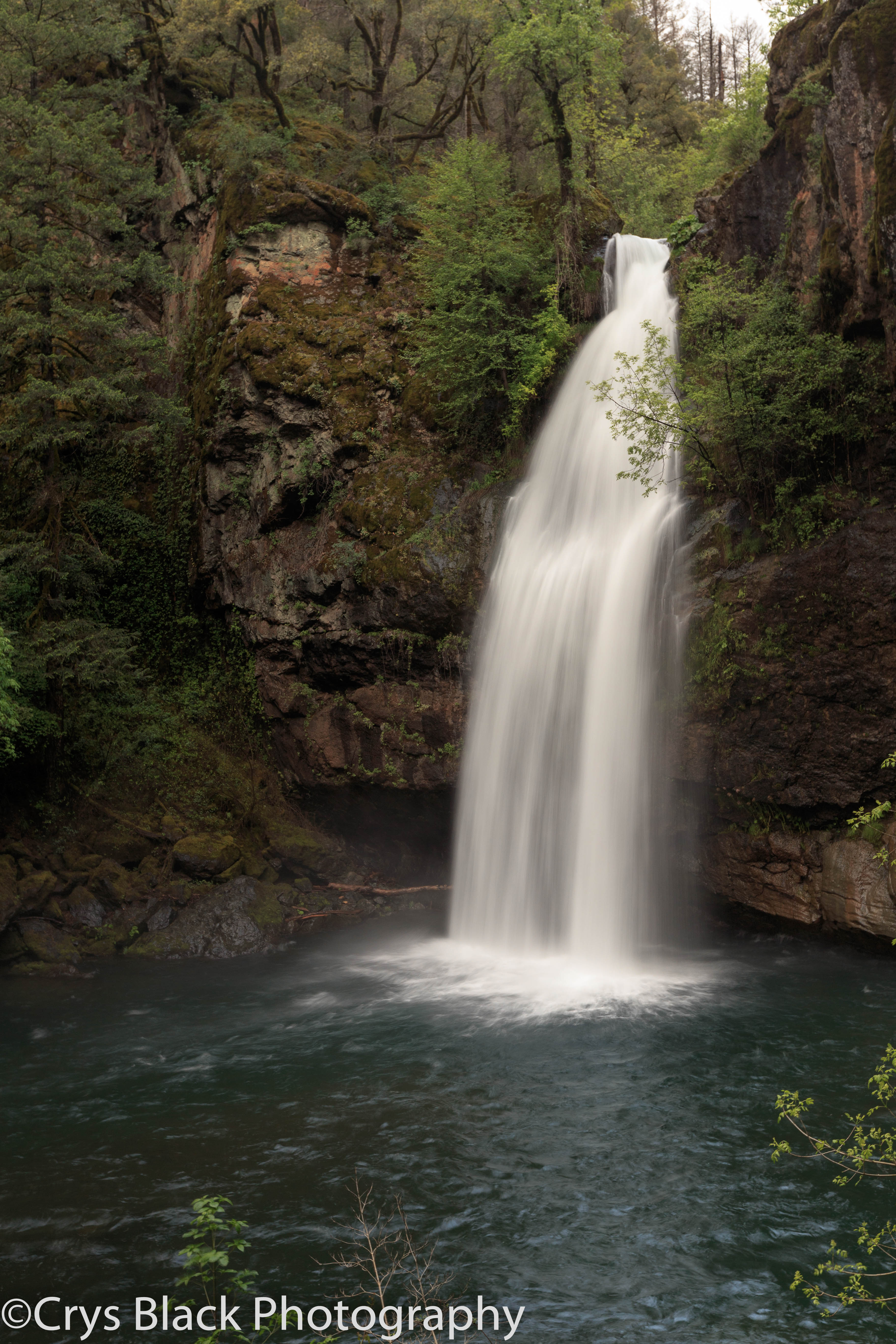
On the way to McArthur-Burney Falls

_9080256.NEF

_8210039.NEF
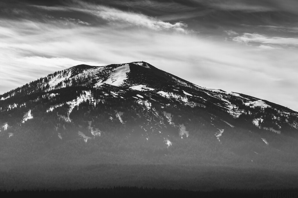
Burney Mountain [03.30.13]
Megan & Burney Mountain [03.30.13]

Burney Mountain [03.30.13]

Fountain Fire Vista Point [03.30.13]

Fairytale Land [03.30.13]

A Shasta-Cascade Wonderland: The Great White North

A Shasta-Cascade Wonderland: The Great White North
Big Bend Rd, Montgomery Creek, CA アメリカ合衆国の地図
別の場所を検索
近所の場所
40°51'51."N °53'."W, Anderossa Ln, 9, CA アメリカ合衆国Hillcrest Rest Area
Big Bend Rd, California, アメリカ合衆国ビッグ・ベンド・ロード
アメリカ合衆国 〒 カリフォルニア州 モントゴメリー・クリーク
CA-, Montgomery Creek, CA アメリカ合衆国
Dunn Moody Rd, Round Mountain, CA アメリカ合衆国
Mountain School Rd, Round Mountain, CA アメリカ合衆国
Terry Mill Rd, Round Mountain, CA アメリカ合衆国
CA-, Round Mountain, CA アメリカ合衆国Hill Country Community Clinic
アメリカ合衆国 カリフォルニア州 ラウンド・マウンテン
アメリカ合衆国 カリフォルニア州 レディング
アメリカ合衆国 カリフォルニア州 シャスタ
Big Bend Rd, Big Bend, CA アメリカ合衆国
アメリカ合衆国 〒 カリフォルニア州 ビッグ・ベンド
Peridot Ln, Burney, CA アメリカ合衆国
Birch Ave, Burney, CA アメリカ合衆国
アメリカ合衆国 〒 カリフォルニア州 バーニー
アメリカ合衆国 カリフォルニア州 バーニー滝
Garden Ln, Burney, CA アメリカ合衆国
アメリカ合衆国 カリフォルニア州 バーニー山
Clark Creek Rd, Burney, CA アメリカ合衆国
最近の検索
- アメリカ合衆国 アラスカ州 レッド・ドッグ・マイン日の出日の入り時間
- Am bhf, Borken, ドイツアム・バーンホーフ日の出日の入り時間
- 4th St E, Sonoma, CA, USA日の出日の入り時間
- Oakland Ave, Williamsport, PA アメリカ合衆国日の出日の入り時間
- Via Roma, Pieranica CR, イタリアローマ通り日の出日の入り時間
- クロアチア 〒 ドゥブロブニク GradClock Tower of Dubrovnik日の出日の入り時間
- アルゼンチン チュブ州 トレリュー日の出日の入り時間
- Hartfords Bluff Cir, Mt Pleasant, SC アメリカ合衆国日の出日の入り時間
- 日本、熊本県熊本市北区日の出日の入り時間
- 中華人民共和国 福州市 平潭県 平潭島日の出日の入り時間