ドイツ 〒 ゲーロルシュタイン ベヴィンゲン日の出日の入り時間
Location: ドイツ > ラインラント・プファルツ州 > ドイツ フルカナイフェル > ドイツ 〒 ゲーロルシュタイン >
時間帯:
Europe/Berlin
現地時間:
2025-06-05 23:46:14
経度:
6.6637263
緯度:
50.2487141
今日の日の出時刻:
05:24:31 AM
今日の日の入時刻:
09:39:44 PM
今日の日長:
16h 15m 13s
明日の日の出時刻:
05:24:04 AM
明日の日の入時刻:
09:40:33 PM
明日の日長:
16h 16m 29s
すべて表示する
| 日付 | 日出 | 日没 | 日長 |
|---|---|---|---|
| 2025年01月01日 | 08:32:44 AM | 04:41:44 PM | 8h 9m 0s |
| 2025年01月02日 | 08:32:36 AM | 04:42:47 PM | 8h 10m 11s |
| 2025年01月03日 | 08:32:24 AM | 04:43:54 PM | 8h 11m 30s |
| 2025年01月04日 | 08:32:10 AM | 04:45:02 PM | 8h 12m 52s |
| 2025年01月05日 | 08:31:52 AM | 04:46:13 PM | 8h 14m 21s |
| 2025年01月06日 | 08:31:31 AM | 04:47:26 PM | 8h 15m 55s |
| 2025年01月07日 | 08:31:07 AM | 04:48:42 PM | 8h 17m 35s |
| 2025年01月08日 | 08:30:40 AM | 04:49:59 PM | 8h 19m 19s |
| 2025年01月09日 | 08:30:10 AM | 04:51:18 PM | 8h 21m 8s |
| 2025年01月10日 | 08:29:37 AM | 04:52:39 PM | 8h 23m 2s |
| 2025年01月11日 | 08:29:01 AM | 04:54:02 PM | 8h 25m 1s |
| 2025年01月12日 | 08:28:22 AM | 04:55:27 PM | 8h 27m 5s |
| 2025年01月13日 | 08:27:40 AM | 04:56:53 PM | 8h 29m 13s |
| 2025年01月14日 | 08:26:56 AM | 04:58:21 PM | 8h 31m 25s |
| 2025年01月15日 | 08:26:08 AM | 04:59:50 PM | 8h 33m 42s |
| 2025年01月16日 | 08:25:18 AM | 05:01:21 PM | 8h 36m 3s |
| 2025年01月17日 | 08:24:25 AM | 05:02:53 PM | 8h 38m 28s |
| 2025年01月18日 | 08:23:29 AM | 05:04:26 PM | 8h 40m 57s |
| 2025年01月19日 | 08:22:31 AM | 05:06:00 PM | 8h 43m 29s |
| 2025年01月20日 | 08:21:30 AM | 05:07:36 PM | 8h 46m 6s |
| 2025年01月21日 | 08:20:26 AM | 05:09:12 PM | 8h 48m 46s |
| 2025年01月22日 | 08:19:20 AM | 05:10:50 PM | 8h 51m 30s |
| 2025年01月23日 | 08:18:12 AM | 05:12:28 PM | 8h 54m 16s |
| 2025年01月24日 | 08:17:01 AM | 05:14:07 PM | 8h 57m 6s |
| 2025年01月25日 | 08:15:48 AM | 05:15:47 PM | 8h 59m 59s |
| 2025年01月26日 | 08:14:32 AM | 05:17:28 PM | 9h 2m 56s |
| 2025年01月27日 | 08:13:15 AM | 05:19:09 PM | 9h 5m 54s |
| 2025年01月28日 | 08:11:55 AM | 05:20:51 PM | 9h 8m 56s |
| 2025年01月29日 | 08:10:33 AM | 05:22:33 PM | 9h 12m 0s |
| 2025年01月30日 | 08:09:09 AM | 05:24:16 PM | 9h 15m 7s |
| 2025年01月31日 | 08:07:43 AM | 05:25:59 PM | 9h 18m 16s |
| 2025年02月01日 | 08:06:15 AM | 05:27:43 PM | 9h 21m 28s |
| 2025年02月02日 | 08:04:45 AM | 05:29:26 PM | 9h 24m 41s |
| 2025年02月03日 | 08:03:13 AM | 05:31:10 PM | 9h 27m 57s |
| 2025年02月04日 | 08:01:40 AM | 05:32:54 PM | 9h 31m 14s |
| 2025年02月05日 | 08:00:04 AM | 05:34:39 PM | 9h 34m 35s |
| 2025年02月06日 | 07:58:27 AM | 05:36:23 PM | 9h 37m 56s |
| 2025年02月07日 | 07:56:48 AM | 05:38:08 PM | 9h 41m 20s |
| 2025年02月08日 | 07:55:08 AM | 05:39:52 PM | 9h 44m 44s |
| 2025年02月09日 | 07:53:26 AM | 05:41:37 PM | 9h 48m 11s |
| 2025年02月10日 | 07:51:43 AM | 05:43:21 PM | 9h 51m 38s |
| 2025年02月11日 | 07:49:58 AM | 05:45:06 PM | 9h 55m 8s |
| 2025年02月12日 | 07:48:11 AM | 05:46:50 PM | 9h 58m 39s |
| 2025年02月13日 | 07:46:23 AM | 05:48:35 PM | 10h 2m 12s |
| 2025年02月14日 | 07:44:34 AM | 05:50:19 PM | 10h 5m 45s |
| 2025年02月15日 | 07:42:44 AM | 05:52:03 PM | 10h 9m 19s |
| 2025年02月16日 | 07:40:52 AM | 05:53:47 PM | 10h 12m 55s |
| 2025年02月17日 | 07:38:59 AM | 05:55:31 PM | 10h 16m 32s |
| 2025年02月18日 | 07:37:05 AM | 05:57:14 PM | 10h 20m 9s |
| 2025年02月19日 | 07:35:10 AM | 05:58:57 PM | 10h 23m 47s |
| 2025年02月20日 | 07:33:14 AM | 06:00:40 PM | 10h 27m 26s |
| 2025年02月21日 | 07:31:16 AM | 06:02:23 PM | 10h 31m 7s |
| 2025年02月22日 | 07:29:18 AM | 06:04:06 PM | 10h 34m 48s |
| 2025年02月23日 | 07:27:19 AM | 06:05:48 PM | 10h 38m 29s |
| 2025年02月24日 | 07:25:19 AM | 06:07:30 PM | 10h 42m 11s |
| 2025年02月25日 | 07:23:18 AM | 06:09:12 PM | 10h 45m 54s |
| 2025年02月26日 | 07:21:16 AM | 06:10:53 PM | 10h 49m 37s |
| 2025年02月27日 | 07:19:13 AM | 06:12:34 PM | 10h 53m 21s |
| 2025年02月28日 | 07:17:09 AM | 06:14:15 PM | 10h 57m 6s |
| 2025年03月01日 | 07:15:05 AM | 06:15:56 PM | 11h 0m 51s |
| 2025年03月02日 | 07:13:00 AM | 06:17:36 PM | 11h 4m 36s |
| 2025年03月03日 | 07:10:55 AM | 06:19:16 PM | 11h 8m 21s |
| 2025年03月04日 | 07:08:48 AM | 06:20:56 PM | 11h 12m 8s |
| 2025年03月05日 | 07:06:42 AM | 06:22:36 PM | 11h 15m 54s |
| 2025年03月06日 | 07:04:34 AM | 06:24:15 PM | 11h 19m 41s |
| 2025年03月07日 | 07:02:26 AM | 06:25:54 PM | 11h 23m 28s |
| 2025年03月08日 | 07:00:18 AM | 06:27:33 PM | 11h 27m 15s |
| 2025年03月09日 | 06:58:09 AM | 06:29:11 PM | 11h 31m 2s |
| 2025年03月10日 | 06:56:00 AM | 06:30:50 PM | 11h 34m 50s |
| 2025年03月11日 | 06:53:50 AM | 06:32:28 PM | 11h 38m 38s |
| 2025年03月12日 | 06:51:40 AM | 06:34:05 PM | 11h 42m 25s |
| 2025年03月13日 | 06:49:30 AM | 06:35:43 PM | 11h 46m 13s |
| 2025年03月14日 | 06:47:19 AM | 06:37:20 PM | 11h 50m 1s |
| 2025年03月15日 | 06:45:08 AM | 06:38:57 PM | 11h 53m 49s |
| 2025年03月16日 | 06:42:57 AM | 06:40:34 PM | 11h 57m 37s |
| 2025年03月17日 | 06:40:45 AM | 06:42:11 PM | 12h 1m 26s |
| 2025年03月18日 | 06:38:34 AM | 06:43:48 PM | 12h 5m 14s |
| 2025年03月19日 | 06:36:22 AM | 06:45:24 PM | 12h 9m 2s |
| 2025年03月20日 | 06:34:10 AM | 06:47:01 PM | 12h 12m 51s |
| 2025年03月21日 | 06:31:58 AM | 06:48:37 PM | 12h 16m 39s |
| 2025年03月22日 | 06:29:47 AM | 06:50:13 PM | 12h 20m 26s |
| 2025年03月23日 | 06:27:35 AM | 06:51:49 PM | 12h 24m 14s |
| 2025年03月24日 | 06:25:23 AM | 06:53:24 PM | 12h 28m 1s |
| 2025年03月25日 | 06:23:11 AM | 06:55:00 PM | 12h 31m 49s |
| 2025年03月26日 | 06:20:59 AM | 06:56:36 PM | 12h 35m 37s |
| 2025年03月27日 | 06:18:47 AM | 06:58:11 PM | 12h 39m 24s |
| 2025年03月28日 | 06:16:36 AM | 06:59:47 PM | 12h 43m 11s |
| 2025年03月29日 | 06:14:24 AM | 07:01:22 PM | 12h 46m 58s |
| 2025年03月30日 | 07:12:19 AM | 08:02:53 PM | 12h 50m 34s |
| 2025年03月31日 | 07:10:08 AM | 08:04:28 PM | 12h 54m 20s |
| 2025年04月01日 | 07:07:57 AM | 08:06:04 PM | 12h 58m 7s |
| 2025年04月02日 | 07:05:47 AM | 08:07:39 PM | 13h 1m 52s |
| 2025年04月03日 | 07:03:36 AM | 08:09:14 PM | 13h 5m 38s |
| 2025年04月04日 | 07:01:27 AM | 08:10:49 PM | 13h 9m 22s |
| 2025年04月05日 | 06:59:17 AM | 08:12:24 PM | 13h 13m 7s |
| 2025年04月06日 | 06:57:08 AM | 08:13:59 PM | 13h 16m 51s |
| 2025年04月07日 | 06:55:00 AM | 08:15:34 PM | 13h 20m 34s |
| 2025年04月08日 | 06:52:52 AM | 08:17:09 PM | 13h 24m 17s |
| 2025年04月09日 | 06:50:44 AM | 08:18:44 PM | 13h 28m 0s |
| 2025年04月10日 | 06:48:38 AM | 08:20:19 PM | 13h 31m 41s |
| 2025年04月11日 | 06:46:31 AM | 08:21:54 PM | 13h 35m 23s |
| 2025年04月12日 | 06:44:25 AM | 08:23:29 PM | 13h 39m 4s |
| 2025年04月13日 | 06:42:20 AM | 08:25:04 PM | 13h 42m 44s |
| 2025年04月14日 | 06:40:16 AM | 08:26:39 PM | 13h 46m 23s |
| 2025年04月15日 | 06:38:12 AM | 08:28:14 PM | 13h 50m 2s |
| 2025年04月16日 | 06:36:09 AM | 08:29:49 PM | 13h 53m 40s |
| 2025年04月17日 | 06:34:07 AM | 08:31:24 PM | 13h 57m 17s |
| 2025年04月18日 | 06:32:06 AM | 08:32:59 PM | 14h 0m 53s |
| 2025年04月19日 | 06:30:06 AM | 08:34:33 PM | 14h 4m 27s |
| 2025年04月20日 | 06:28:06 AM | 08:36:08 PM | 14h 8m 2s |
| 2025年04月21日 | 06:26:07 AM | 08:37:43 PM | 14h 11m 36s |
| 2025年04月22日 | 06:24:10 AM | 08:39:17 PM | 14h 15m 7s |
| 2025年04月23日 | 06:22:13 AM | 08:40:52 PM | 14h 18m 39s |
| 2025年04月24日 | 06:20:18 AM | 08:42:26 PM | 14h 22m 8s |
| 2025年04月25日 | 06:18:23 AM | 08:44:00 PM | 14h 25m 37s |
| 2025年04月26日 | 06:16:30 AM | 08:45:35 PM | 14h 29m 5s |
| 2025年04月27日 | 06:14:38 AM | 08:47:08 PM | 14h 32m 30s |
| 2025年04月28日 | 06:12:47 AM | 08:48:42 PM | 14h 35m 55s |
| 2025年04月29日 | 06:10:57 AM | 08:50:16 PM | 14h 39m 19s |
| 2025年04月30日 | 06:09:09 AM | 08:51:49 PM | 14h 42m 40s |
| 2025年05月01日 | 06:07:22 AM | 08:53:22 PM | 14h 46m 0s |
| 2025年05月02日 | 06:05:37 AM | 08:54:55 PM | 14h 49m 18s |
| 2025年05月03日 | 06:03:52 AM | 08:56:27 PM | 14h 52m 35s |
| 2025年05月04日 | 06:02:10 AM | 08:57:59 PM | 14h 55m 49s |
| 2025年05月05日 | 06:00:29 AM | 08:59:30 PM | 14h 59m 1s |
| 2025年05月06日 | 05:58:49 AM | 09:01:02 PM | 15h 2m 13s |
| 2025年05月07日 | 05:57:11 AM | 09:02:32 PM | 15h 5m 21s |
| 2025年05月08日 | 05:55:35 AM | 09:04:02 PM | 15h 8m 27s |
| 2025年05月09日 | 05:54:00 AM | 09:05:32 PM | 15h 11m 32s |
| 2025年05月10日 | 05:52:27 AM | 09:07:01 PM | 15h 14m 34s |
| 2025年05月11日 | 05:50:56 AM | 09:08:29 PM | 15h 17m 33s |
| 2025年05月12日 | 05:49:27 AM | 09:09:57 PM | 15h 20m 30s |
| 2025年05月13日 | 05:47:59 AM | 09:11:24 PM | 15h 23m 25s |
| 2025年05月14日 | 05:46:34 AM | 09:12:50 PM | 15h 26m 16s |
| 2025年05月15日 | 05:45:10 AM | 09:14:15 PM | 15h 29m 5s |
| 2025年05月16日 | 05:43:49 AM | 09:15:40 PM | 15h 31m 51s |
| 2025年05月17日 | 05:42:30 AM | 09:17:03 PM | 15h 34m 33s |
| 2025年05月18日 | 05:41:12 AM | 09:18:25 PM | 15h 37m 13s |
| 2025年05月19日 | 05:39:57 AM | 09:19:47 PM | 15h 39m 50s |
| 2025年05月20日 | 05:38:44 AM | 09:21:07 PM | 15h 42m 23s |
| 2025年05月21日 | 05:37:34 AM | 09:22:26 PM | 15h 44m 52s |
| 2025年05月22日 | 05:36:26 AM | 09:23:44 PM | 15h 47m 18s |
| 2025年05月23日 | 05:35:20 AM | 09:25:00 PM | 15h 49m 40s |
| 2025年05月24日 | 05:34:16 AM | 09:26:15 PM | 15h 51m 59s |
| 2025年05月25日 | 05:33:15 AM | 09:27:29 PM | 15h 54m 14s |
| 2025年05月26日 | 05:32:16 AM | 09:28:41 PM | 15h 56m 25s |
| 2025年05月27日 | 05:31:20 AM | 09:29:51 PM | 15h 58m 31s |
| 2025年05月28日 | 05:30:26 AM | 09:31:00 PM | 16h 0m 34s |
| 2025年05月29日 | 05:29:35 AM | 09:32:07 PM | 16h 2m 32s |
| 2025年05月30日 | 05:28:47 AM | 09:33:13 PM | 16h 4m 26s |
| 2025年05月31日 | 05:28:01 AM | 09:34:17 PM | 16h 6m 16s |
| 2025年06月01日 | 05:27:18 AM | 09:35:18 PM | 16h 8m 0s |
| 2025年06月02日 | 05:26:38 AM | 09:36:18 PM | 16h 9m 40s |
| 2025年06月03日 | 05:26:00 AM | 09:37:16 PM | 16h 11m 16s |
| 2025年06月04日 | 05:25:25 AM | 09:38:11 PM | 16h 12m 46s |
| 2025年06月05日 | 05:24:53 AM | 09:39:05 PM | 16h 14m 12s |
| 2025年06月06日 | 05:24:24 AM | 09:39:56 PM | 16h 15m 32s |
| 2025年06月07日 | 05:23:57 AM | 09:40:45 PM | 16h 16m 48s |
| 2025年06月08日 | 05:23:34 AM | 09:41:32 PM | 16h 17m 58s |
| 2025年06月09日 | 05:23:13 AM | 09:42:16 PM | 16h 19m 3s |
| 2025年06月10日 | 05:22:56 AM | 09:42:58 PM | 16h 20m 2s |
| 2025年06月11日 | 05:22:41 AM | 09:43:38 PM | 16h 20m 57s |
| 2025年06月12日 | 05:22:29 AM | 09:44:15 PM | 16h 21m 46s |
| 2025年06月13日 | 05:22:20 AM | 09:44:49 PM | 16h 22m 29s |
| 2025年06月14日 | 05:22:14 AM | 09:45:20 PM | 16h 23m 6s |
| 2025年06月15日 | 05:22:10 AM | 09:45:49 PM | 16h 23m 39s |
| 2025年06月16日 | 05:22:10 AM | 09:46:16 PM | 16h 24m 6s |
| 2025年06月17日 | 05:22:12 AM | 09:46:39 PM | 16h 24m 27s |
| 2025年06月18日 | 05:22:18 AM | 09:47:00 PM | 16h 24m 42s |
| 2025年06月19日 | 05:22:26 AM | 09:47:18 PM | 16h 24m 52s |
| 2025年06月20日 | 05:22:37 AM | 09:47:33 PM | 16h 24m 56s |
| 2025年06月21日 | 05:22:51 AM | 09:47:45 PM | 16h 24m 54s |
| 2025年06月22日 | 05:23:08 AM | 09:47:54 PM | 16h 24m 46s |
| 2025年06月23日 | 05:23:27 AM | 09:48:01 PM | 16h 24m 34s |
| 2025年06月24日 | 05:23:49 AM | 09:48:04 PM | 16h 24m 15s |
| 2025年06月25日 | 05:24:14 AM | 09:48:05 PM | 16h 23m 51s |
| 2025年06月26日 | 05:24:42 AM | 09:48:03 PM | 16h 23m 21s |
| 2025年06月27日 | 05:25:12 AM | 09:47:57 PM | 16h 22m 45s |
| 2025年06月28日 | 05:25:45 AM | 09:47:49 PM | 16h 22m 4s |
| 2025年06月29日 | 05:26:20 AM | 09:47:38 PM | 16h 21m 18s |
| 2025年06月30日 | 05:26:58 AM | 09:47:23 PM | 16h 20m 25s |
| 2025年07月01日 | 05:27:38 AM | 09:47:06 PM | 16h 19m 28s |
| 2025年07月02日 | 05:28:20 AM | 09:46:46 PM | 16h 18m 26s |
| 2025年07月03日 | 05:29:05 AM | 09:46:23 PM | 16h 17m 18s |
| 2025年07月04日 | 05:29:52 AM | 09:45:57 PM | 16h 16m 5s |
| 2025年07月05日 | 05:30:41 AM | 09:45:29 PM | 16h 14m 48s |
| 2025年07月06日 | 05:31:33 AM | 09:44:57 PM | 16h 13m 24s |
| 2025年07月07日 | 05:32:26 AM | 09:44:23 PM | 16h 11m 57s |
| 2025年07月08日 | 05:33:22 AM | 09:43:45 PM | 16h 10m 23s |
| 2025年07月09日 | 05:34:19 AM | 09:43:05 PM | 16h 8m 46s |
| 2025年07月10日 | 05:35:19 AM | 09:42:22 PM | 16h 7m 3s |
| 2025年07月11日 | 05:36:20 AM | 09:41:37 PM | 16h 5m 17s |
| 2025年07月12日 | 05:37:23 AM | 09:40:49 PM | 16h 3m 26s |
| 2025年07月13日 | 05:38:28 AM | 09:39:58 PM | 16h 1m 30s |
| 2025年07月14日 | 05:39:34 AM | 09:39:04 PM | 15h 59m 30s |
| 2025年07月15日 | 05:40:42 AM | 09:38:08 PM | 15h 57m 26s |
| 2025年07月16日 | 05:41:51 AM | 09:37:10 PM | 15h 55m 19s |
| 2025年07月17日 | 05:43:02 AM | 09:36:08 PM | 15h 53m 6s |
| 2025年07月18日 | 05:44:14 AM | 09:35:05 PM | 15h 50m 51s |
| 2025年07月19日 | 05:45:28 AM | 09:33:59 PM | 15h 48m 31s |
| 2025年07月20日 | 05:46:43 AM | 09:32:50 PM | 15h 46m 7s |
| 2025年07月21日 | 05:47:59 AM | 09:31:40 PM | 15h 43m 41s |
| 2025年07月22日 | 05:49:16 AM | 09:30:27 PM | 15h 41m 11s |
| 2025年07月23日 | 05:50:34 AM | 09:29:12 PM | 15h 38m 38s |
| 2025年07月24日 | 05:51:53 AM | 09:27:54 PM | 15h 36m 1s |
| 2025年07月25日 | 05:53:13 AM | 09:26:35 PM | 15h 33m 22s |
| 2025年07月26日 | 05:54:34 AM | 09:25:13 PM | 15h 30m 39s |
| 2025年07月27日 | 05:55:56 AM | 09:23:49 PM | 15h 27m 53s |
| 2025年07月28日 | 05:57:19 AM | 09:22:24 PM | 15h 25m 5s |
| 2025年07月29日 | 05:58:42 AM | 09:20:56 PM | 15h 22m 14s |
| 2025年07月30日 | 06:00:06 AM | 09:19:27 PM | 15h 19m 21s |
| 2025年07月31日 | 06:01:31 AM | 09:17:55 PM | 15h 16m 24s |
| 2025年08月01日 | 06:02:57 AM | 09:16:22 PM | 15h 13m 25s |
| 2025年08月02日 | 06:04:23 AM | 09:14:47 PM | 15h 10m 24s |
| 2025年08月03日 | 06:05:49 AM | 09:13:10 PM | 15h 7m 21s |
| 2025年08月04日 | 06:07:16 AM | 09:11:32 PM | 15h 4m 16s |
| 2025年08月05日 | 06:08:43 AM | 09:09:52 PM | 15h 1m 9s |
| 2025年08月06日 | 06:10:11 AM | 09:08:10 PM | 14h 57m 59s |
| 2025年08月07日 | 06:11:39 AM | 09:06:27 PM | 14h 54m 48s |
| 2025年08月08日 | 06:13:08 AM | 09:04:42 PM | 14h 51m 34s |
| 2025年08月09日 | 06:14:36 AM | 09:02:56 PM | 14h 48m 20s |
| 2025年08月10日 | 06:16:05 AM | 09:01:09 PM | 14h 45m 4s |
| 2025年08月11日 | 06:17:34 AM | 08:59:20 PM | 14h 41m 46s |
| 2025年08月12日 | 06:19:04 AM | 08:57:30 PM | 14h 38m 26s |
| 2025年08月13日 | 06:20:33 AM | 08:55:38 PM | 14h 35m 5s |
| 2025年08月14日 | 06:22:03 AM | 08:53:46 PM | 14h 31m 43s |
| 2025年08月15日 | 06:23:33 AM | 08:51:52 PM | 14h 28m 19s |
| 2025年08月16日 | 06:25:03 AM | 08:49:57 PM | 14h 24m 54s |
| 2025年08月17日 | 06:26:33 AM | 08:48:00 PM | 14h 21m 27s |
| 2025年08月18日 | 06:28:03 AM | 08:46:03 PM | 14h 18m 0s |
| 2025年08月19日 | 06:29:33 AM | 08:44:05 PM | 14h 14m 32s |
| 2025年08月20日 | 06:31:04 AM | 08:42:06 PM | 14h 11m 2s |
| 2025年08月21日 | 06:32:34 AM | 08:40:05 PM | 14h 7m 31s |
| 2025年08月22日 | 06:34:04 AM | 08:38:04 PM | 14h 4m 0s |
| 2025年08月23日 | 06:35:35 AM | 08:36:02 PM | 14h 0m 27s |
| 2025年08月24日 | 06:37:05 AM | 08:33:59 PM | 13h 56m 54s |
| 2025年08月25日 | 06:38:35 AM | 08:31:55 PM | 13h 53m 20s |
| 2025年08月26日 | 06:40:06 AM | 08:29:51 PM | 13h 49m 45s |
| 2025年08月27日 | 06:41:36 AM | 08:27:45 PM | 13h 46m 9s |
| 2025年08月28日 | 06:43:06 AM | 08:25:39 PM | 13h 42m 33s |
| 2025年08月29日 | 06:44:37 AM | 08:23:33 PM | 13h 38m 56s |
| 2025年08月30日 | 06:46:07 AM | 08:21:25 PM | 13h 35m 18s |
| 2025年08月31日 | 06:47:37 AM | 08:19:17 PM | 13h 31m 40s |
| 2025年09月01日 | 06:49:07 AM | 08:17:09 PM | 13h 28m 2s |
| 2025年09月02日 | 06:50:38 AM | 08:15:00 PM | 13h 24m 22s |
| 2025年09月03日 | 06:52:08 AM | 08:12:50 PM | 13h 20m 42s |
| 2025年09月04日 | 06:53:38 AM | 08:10:40 PM | 13h 17m 2s |
| 2025年09月05日 | 06:55:08 AM | 08:08:30 PM | 13h 13m 22s |
| 2025年09月06日 | 06:56:38 AM | 08:06:19 PM | 13h 9m 41s |
| 2025年09月07日 | 06:58:08 AM | 08:04:08 PM | 13h 6m 0s |
| 2025年09月08日 | 06:59:38 AM | 08:01:56 PM | 13h 2m 18s |
| 2025年09月09日 | 07:01:09 AM | 07:59:44 PM | 12h 58m 35s |
| 2025年09月10日 | 07:02:39 AM | 07:57:32 PM | 12h 54m 53s |
| 2025年09月11日 | 07:04:09 AM | 07:55:19 PM | 12h 51m 10s |
| 2025年09月12日 | 07:05:39 AM | 07:53:06 PM | 12h 47m 27s |
| 2025年09月13日 | 07:07:10 AM | 07:50:53 PM | 12h 43m 43s |
| 2025年09月14日 | 07:08:40 AM | 07:48:40 PM | 12h 40m 0s |
| 2025年09月15日 | 07:10:10 AM | 07:46:27 PM | 12h 36m 17s |
| 2025年09月16日 | 07:11:41 AM | 07:44:14 PM | 12h 32m 33s |
| 2025年09月17日 | 07:13:11 AM | 07:42:00 PM | 12h 28m 49s |
| 2025年09月18日 | 07:14:42 AM | 07:39:47 PM | 12h 25m 5s |
| 2025年09月19日 | 07:16:13 AM | 07:37:33 PM | 12h 21m 20s |
| 2025年09月20日 | 07:17:44 AM | 07:35:20 PM | 12h 17m 36s |
| 2025年09月21日 | 07:19:15 AM | 07:33:06 PM | 12h 13m 51s |
| 2025年09月22日 | 07:20:46 AM | 07:30:53 PM | 12h 10m 7s |
| 2025年09月23日 | 07:22:17 AM | 07:28:39 PM | 12h 6m 22s |
| 2025年09月24日 | 07:23:49 AM | 07:26:26 PM | 12h 2m 37s |
| 2025年09月25日 | 07:25:20 AM | 07:24:13 PM | 11h 58m 53s |
| 2025年09月26日 | 07:26:52 AM | 07:22:00 PM | 11h 55m 8s |
| 2025年09月27日 | 07:28:24 AM | 07:19:48 PM | 11h 51m 24s |
| 2025年09月28日 | 07:29:56 AM | 07:17:35 PM | 11h 47m 39s |
| 2025年09月29日 | 07:31:29 AM | 07:15:23 PM | 11h 43m 54s |
| 2025年09月30日 | 07:33:01 AM | 07:13:11 PM | 11h 40m 10s |
| 2025年10月01日 | 07:34:34 AM | 07:11:00 PM | 11h 36m 26s |
| 2025年10月02日 | 07:36:07 AM | 07:08:49 PM | 11h 32m 42s |
| 2025年10月03日 | 07:37:41 AM | 07:06:38 PM | 11h 28m 57s |
| 2025年10月04日 | 07:39:14 AM | 07:04:28 PM | 11h 25m 14s |
| 2025年10月05日 | 07:40:48 AM | 07:02:18 PM | 11h 21m 30s |
| 2025年10月06日 | 07:42:22 AM | 07:00:09 PM | 11h 17m 47s |
| 2025年10月07日 | 07:43:57 AM | 06:58:00 PM | 11h 14m 3s |
| 2025年10月08日 | 07:45:31 AM | 06:55:52 PM | 11h 10m 21s |
| 2025年10月09日 | 07:47:06 AM | 06:53:44 PM | 11h 6m 38s |
| 2025年10月10日 | 07:48:42 AM | 06:51:37 PM | 11h 2m 55s |
| 2025年10月11日 | 07:50:17 AM | 06:49:31 PM | 10h 59m 14s |
| 2025年10月12日 | 07:51:53 AM | 06:47:26 PM | 10h 55m 33s |
| 2025年10月13日 | 07:53:29 AM | 06:45:21 PM | 10h 51m 52s |
| 2025年10月14日 | 07:55:06 AM | 06:43:17 PM | 10h 48m 11s |
| 2025年10月15日 | 07:56:43 AM | 06:41:13 PM | 10h 44m 30s |
| 2025年10月16日 | 07:58:20 AM | 06:39:11 PM | 10h 40m 51s |
| 2025年10月17日 | 07:59:57 AM | 06:37:10 PM | 10h 37m 13s |
| 2025年10月18日 | 08:01:35 AM | 06:35:09 PM | 10h 33m 34s |
| 2025年10月19日 | 08:03:13 AM | 06:33:09 PM | 10h 29m 56s |
| 2025年10月20日 | 08:04:51 AM | 06:31:11 PM | 10h 26m 20s |
| 2025年10月21日 | 08:06:30 AM | 06:29:13 PM | 10h 22m 43s |
| 2025年10月22日 | 08:08:08 AM | 06:27:17 PM | 10h 19m 9s |
| 2025年10月23日 | 08:09:47 AM | 06:25:21 PM | 10h 15m 34s |
| 2025年10月24日 | 08:11:27 AM | 06:23:27 PM | 10h 12m 0s |
| 2025年10月25日 | 08:13:06 AM | 06:21:34 PM | 10h 8m 28s |
| 2025年10月26日 | 07:14:50 AM | 05:19:38 PM | 10h 4m 48s |
| 2025年10月27日 | 07:16:30 AM | 05:17:47 PM | 10h 1m 17s |
| 2025年10月28日 | 07:18:10 AM | 05:15:58 PM | 9h 57m 48s |
| 2025年10月29日 | 07:19:51 AM | 05:14:11 PM | 9h 54m 20s |
| 2025年10月30日 | 07:21:31 AM | 05:12:24 PM | 9h 50m 53s |
| 2025年10月31日 | 07:23:11 AM | 05:10:40 PM | 9h 47m 29s |
| 2025年11月01日 | 07:24:52 AM | 05:08:56 PM | 9h 44m 4s |
| 2025年11月02日 | 07:26:33 AM | 05:07:15 PM | 9h 40m 42s |
| 2025年11月03日 | 07:28:13 AM | 05:05:35 PM | 9h 37m 22s |
| 2025年11月04日 | 07:29:54 AM | 05:03:56 PM | 9h 34m 2s |
| 2025年11月05日 | 07:31:34 AM | 05:02:20 PM | 9h 30m 46s |
| 2025年11月06日 | 07:33:15 AM | 05:00:45 PM | 9h 27m 30s |
| 2025年11月07日 | 07:34:55 AM | 04:59:12 PM | 9h 24m 17s |
| 2025年11月08日 | 07:36:35 AM | 04:57:40 PM | 9h 21m 5s |
| 2025年11月09日 | 07:38:15 AM | 04:56:11 PM | 9h 17m 56s |
| 2025年11月10日 | 07:39:55 AM | 04:54:44 PM | 9h 14m 49s |
| 2025年11月11日 | 07:41:34 AM | 04:53:18 PM | 9h 11m 44s |
| 2025年11月12日 | 07:43:13 AM | 04:51:55 PM | 9h 8m 42s |
| 2025年11月13日 | 07:44:52 AM | 04:50:34 PM | 9h 5m 42s |
| 2025年11月14日 | 07:46:30 AM | 04:49:15 PM | 9h 2m 45s |
| 2025年11月15日 | 07:48:07 AM | 04:47:58 PM | 8h 59m 51s |
| 2025年11月16日 | 07:49:44 AM | 04:46:44 PM | 8h 57m 0s |
| 2025年11月17日 | 07:51:20 AM | 04:45:32 PM | 8h 54m 12s |
| 2025年11月18日 | 07:52:56 AM | 04:44:22 PM | 8h 51m 26s |
| 2025年11月19日 | 07:54:31 AM | 04:43:14 PM | 8h 48m 43s |
| 2025年11月20日 | 07:56:04 AM | 04:42:10 PM | 8h 46m 6s |
| 2025年11月21日 | 07:57:37 AM | 04:41:07 PM | 8h 43m 30s |
| 2025年11月22日 | 07:59:09 AM | 04:40:08 PM | 8h 40m 59s |
| 2025年11月23日 | 08:00:40 AM | 04:39:11 PM | 8h 38m 31s |
| 2025年11月24日 | 08:02:10 AM | 04:38:16 PM | 8h 36m 6s |
| 2025年11月25日 | 08:03:38 AM | 04:37:25 PM | 8h 33m 47s |
| 2025年11月26日 | 08:05:06 AM | 04:36:36 PM | 8h 31m 30s |
| 2025年11月27日 | 08:06:31 AM | 04:35:50 PM | 8h 29m 19s |
| 2025年11月28日 | 08:07:56 AM | 04:35:06 PM | 8h 27m 10s |
| 2025年11月29日 | 08:09:19 AM | 04:34:26 PM | 8h 25m 7s |
| 2025年11月30日 | 08:10:40 AM | 04:33:49 PM | 8h 23m 9s |
| 2025年12月01日 | 08:11:59 AM | 04:33:15 PM | 8h 21m 16s |
| 2025年12月02日 | 08:13:17 AM | 04:32:43 PM | 8h 19m 26s |
| 2025年12月03日 | 08:14:33 AM | 04:32:15 PM | 8h 17m 42s |
| 2025年12月04日 | 08:15:47 AM | 04:31:50 PM | 8h 16m 3s |
| 2025年12月05日 | 08:16:59 AM | 04:31:28 PM | 8h 14m 29s |
| 2025年12月06日 | 08:18:09 AM | 04:31:09 PM | 8h 13m 0s |
| 2025年12月07日 | 08:19:16 AM | 04:30:53 PM | 8h 11m 37s |
| 2025年12月08日 | 08:20:22 AM | 04:30:41 PM | 8h 10m 19s |
| 2025年12月09日 | 08:21:25 AM | 04:30:32 PM | 8h 9m 7s |
| 2025年12月10日 | 08:22:26 AM | 04:30:25 PM | 8h 7m 59s |
| 2025年12月11日 | 08:23:24 AM | 04:30:23 PM | 8h 6m 59s |
| 2025年12月12日 | 08:24:20 AM | 04:30:23 PM | 8h 6m 3s |
| 2025年12月13日 | 08:25:13 AM | 04:30:27 PM | 8h 5m 14s |
| 2025年12月14日 | 08:26:03 AM | 04:30:34 PM | 8h 4m 31s |
| 2025年12月15日 | 08:26:51 AM | 04:30:44 PM | 8h 3m 53s |
| 2025年12月16日 | 08:27:36 AM | 04:30:57 PM | 8h 3m 21s |
| 2025年12月17日 | 08:28:18 AM | 04:31:14 PM | 8h 2m 56s |
| 2025年12月18日 | 08:28:57 AM | 04:31:34 PM | 8h 2m 37s |
| 2025年12月19日 | 08:29:34 AM | 04:31:56 PM | 8h 2m 22s |
| 2025年12月20日 | 08:30:07 AM | 04:32:23 PM | 8h 2m 16s |
| 2025年12月21日 | 08:30:37 AM | 04:32:52 PM | 8h 2m 15s |
| 2025年12月22日 | 08:31:05 AM | 04:33:24 PM | 8h 2m 19s |
| 2025年12月23日 | 08:31:29 AM | 04:34:00 PM | 8h 2m 31s |
| 2025年12月24日 | 08:31:50 AM | 04:34:38 PM | 8h 2m 48s |
| 2025年12月25日 | 08:32:08 AM | 04:35:20 PM | 8h 3m 12s |
| 2025年12月26日 | 08:32:23 AM | 04:36:04 PM | 8h 3m 41s |
| 2025年12月27日 | 08:32:35 AM | 04:36:51 PM | 8h 4m 16s |
| 2025年12月28日 | 08:32:43 AM | 04:37:41 PM | 8h 4m 58s |
| 2025年12月29日 | 08:32:48 AM | 04:38:34 PM | 8h 5m 46s |
| 2025年12月30日 | 08:32:51 AM | 04:39:29 PM | 8h 6m 38s |
| 2025年12月31日 | 08:32:49 AM | 04:40:28 PM | 8h 7m 39s |
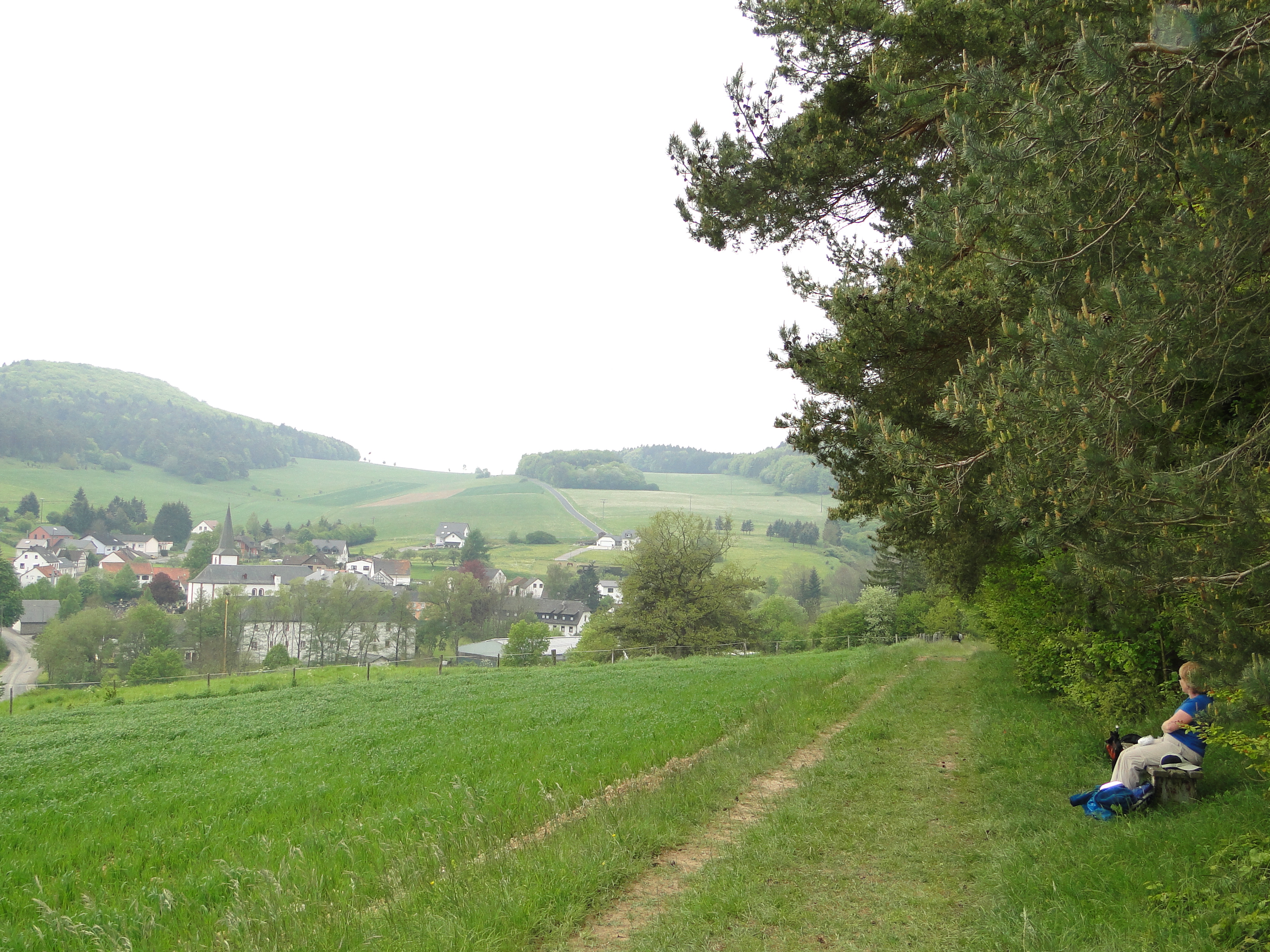
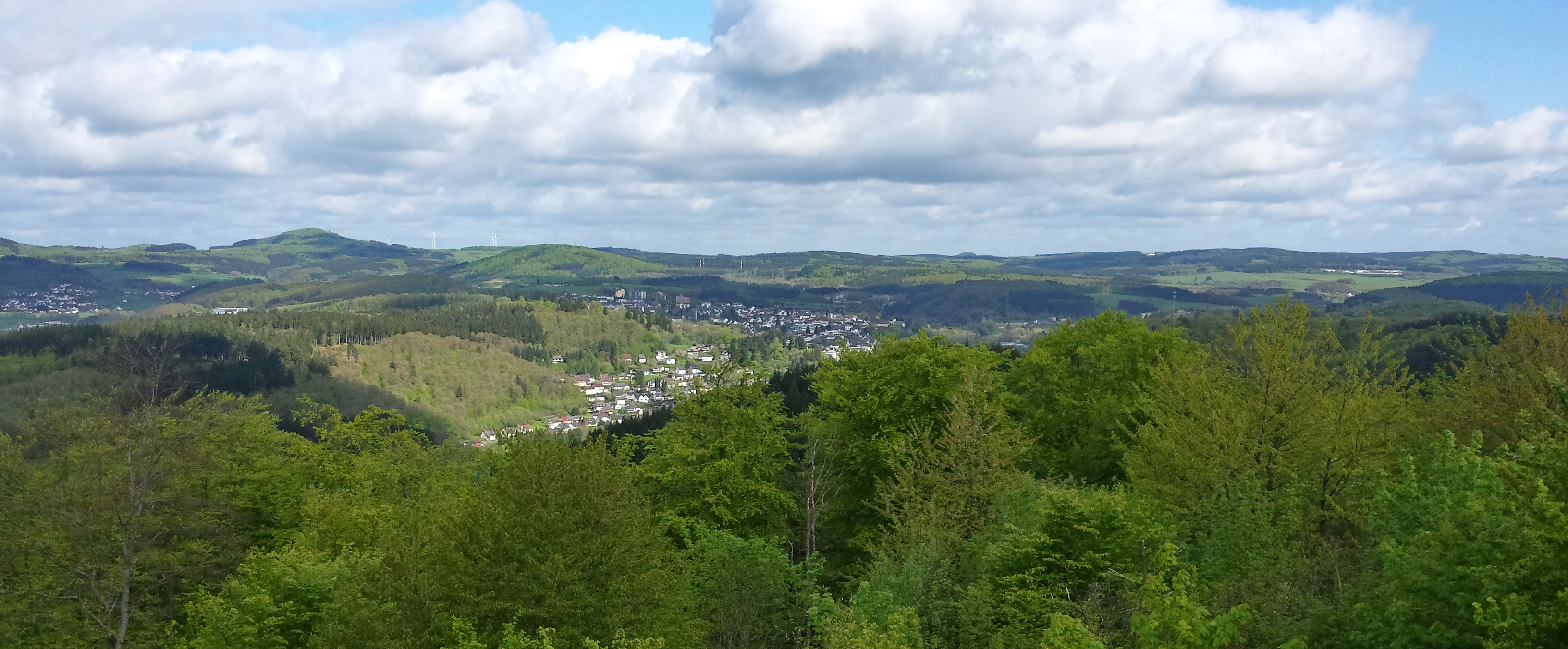
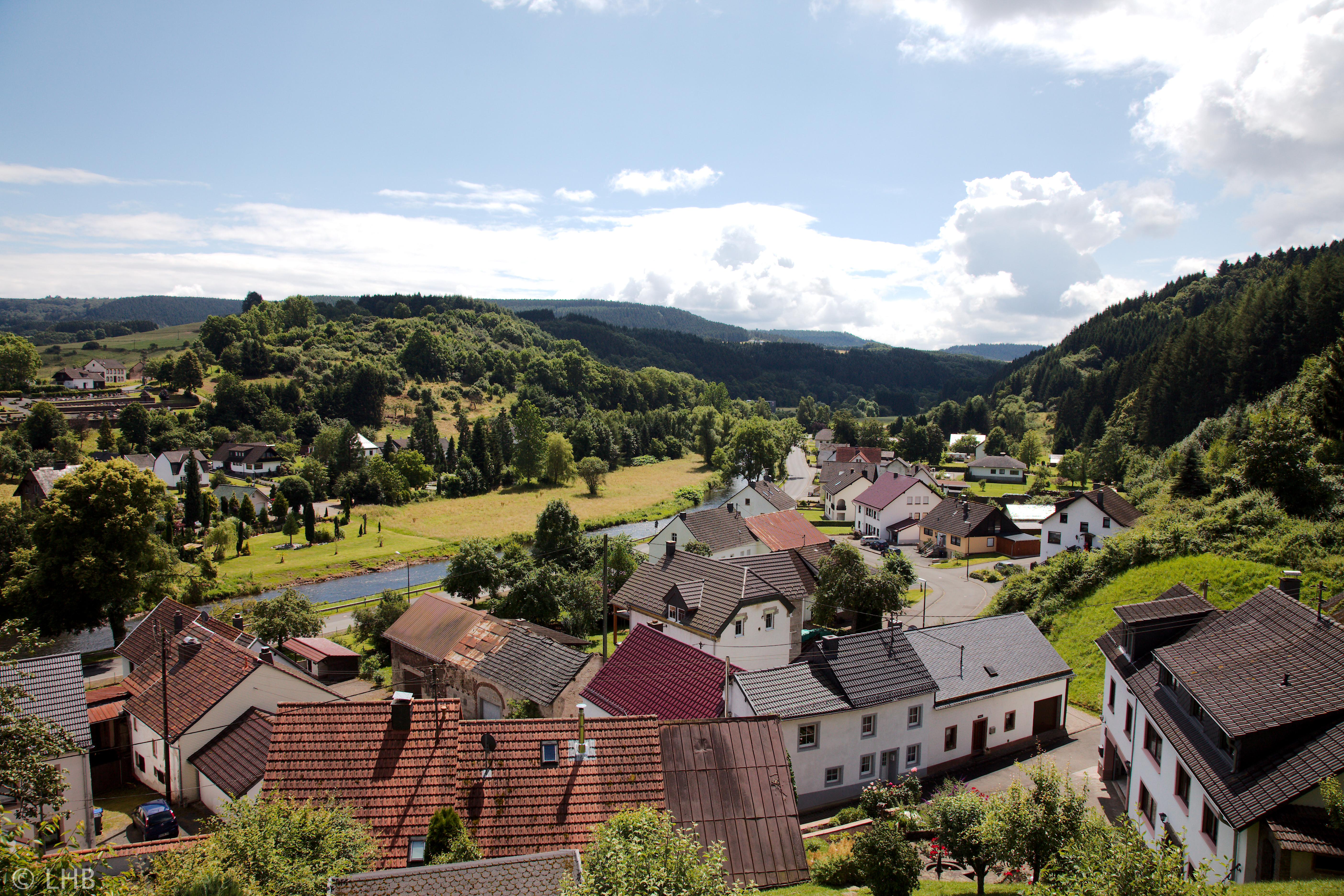
写真
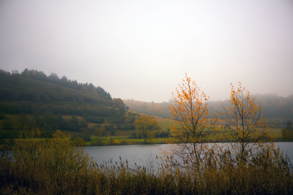
Schalkenmehrener Maar
Eifel country
Yesterday afternoon #eifel #bestoftheday - gerade mal 3G gefunden und schnell ausnutzen ;)

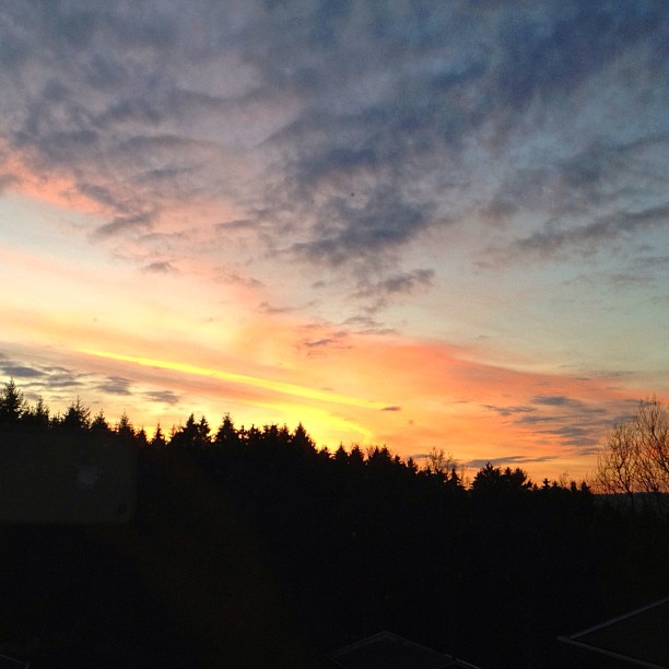
Zum Abschluss meiner 9. Etappe auf dem Eifelsteig stand der Himmel über Gerolstein in Flammen ☀️ . #wanderreporterin #hikingadventure #eifelsteig #eifel #rlperleben . #cloudyday #meinrlp #gerolstein #igersrlp #igersgermany #travelblogger #wanderlust
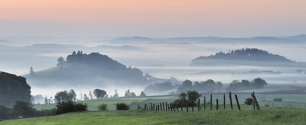
*early morning in the volcanic Eifel - panoramic view*
Sunrise, sun rise
Way of the Cross - Kalvarinenberg
The Lord is my Shepherd...
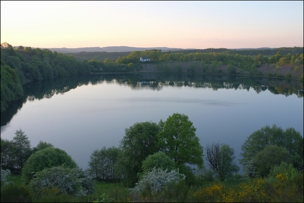
View on Müllenborn

View on Daun
View on Niederehe
MTB tour to Daun and back; view from tower by Gemündener Maar

MTB tour to Daun and back; view from top of tower by Gemündener Maar

MTB tour to Daun and back; view from top of tower by Gemündener Maar
View from Bertradeburg
ドイツ 〒 ゲーロルシュタイン ベヴィンゲンの地図
別の場所を検索
近所の場所
Bewinger Str. 25, Gerolstein, ドイツ
ドイツ 〒 ゲーロルシュタイン
ドイツ 〒 ヒレスハイム ニーダーベッティンゲン
Hinterhausener Str. 11, Gerolstein, ドイツ
ドイツ 〒 ゲーロルシュタイン ヒンターハウゼン
ドイツ 〒 ドゥパッハ
Hauptstraße 48, Duppach, ドイツ
ドイツ 〒 フレリンゲン
ドイツ 〒 ノイハイレンバッハ
Zingsheld 1, Fleringen, ドイツ
ドイツ ヴァインスハイム
Straßburger Str. 23, Weinsheim, ドイツ
ドイツ ロンマースハイム
Lehmbachstraße 27, Rommersheim, ドイツ
ドイツ ゴンデンブレット
ドイツ 〒 ゴンデンブレット ニーダーメーレン
Bleialfer Str. 5, Gondenbrett, ドイツ
ドイツ オルレンバッハ
St.-Vither-Straße 1, Orlenbach, ドイツ
ドイツ オルレンバッハ シュロスヘック
最近の検索
- アメリカ合衆国 アラスカ州 レッド・ドッグ・マイン日の出日の入り時間
- Am bhf, Borken, ドイツアム・バーンホーフ日の出日の入り時間
- 4th St E, Sonoma, CA, USA日の出日の入り時間
- Oakland Ave, Williamsport, PA アメリカ合衆国日の出日の入り時間
- Via Roma, Pieranica CR, イタリアローマ通り日の出日の入り時間
- クロアチア 〒 ドゥブロブニク GradClock Tower of Dubrovnik日の出日の入り時間
- アルゼンチン チュブ州 トレリュー日の出日の入り時間
- Hartfords Bluff Cir, Mt Pleasant, SC アメリカ合衆国日の出日の入り時間
- 日本、熊本県熊本市北区日の出日の入り時間
- 中華人民共和国 福州市 平潭県 平潭島日の出日の入り時間