アメリカ合衆国 〒 カリフォルニア州 ベイシン日の出日の入り時間
Location: アメリカ合衆国 > カリフォルニア州 > サン・バーナディーノ >
時間帯:
America/Los_Angeles
現地時間:
2025-06-26 20:43:24
経度:
-116.2950193
緯度:
35.043039
今日の日の出時刻:
05:33:28 AM
今日の日の入時刻:
08:03:23 PM
今日の日長:
14h 29m 55s
明日の日の出時刻:
05:33:51 AM
明日の日の入時刻:
08:03:25 PM
明日の日長:
14h 29m 34s
すべて表示する
| 日付 | 日出 | 日没 | 日長 |
|---|---|---|---|
| 2025年01月01日 | 06:53:25 AM | 04:45:22 PM | 9h 51m 57s |
| 2025年01月02日 | 06:53:33 AM | 04:46:10 PM | 9h 52m 37s |
| 2025年01月03日 | 06:53:38 AM | 04:46:59 PM | 9h 53m 21s |
| 2025年01月04日 | 06:53:42 AM | 04:47:49 PM | 9h 54m 7s |
| 2025年01月05日 | 06:53:43 AM | 04:48:40 PM | 9h 54m 57s |
| 2025年01月06日 | 06:53:43 AM | 04:49:32 PM | 9h 55m 49s |
| 2025年01月07日 | 06:53:41 AM | 04:50:24 PM | 9h 56m 43s |
| 2025年01月08日 | 06:53:37 AM | 04:51:18 PM | 9h 57m 41s |
| 2025年01月09日 | 06:53:31 AM | 04:52:12 PM | 9h 58m 41s |
| 2025年01月10日 | 06:53:23 AM | 04:53:07 PM | 9h 59m 44s |
| 2025年01月11日 | 06:53:13 AM | 04:54:03 PM | 10h 0m 50s |
| 2025年01月12日 | 06:53:01 AM | 04:55:00 PM | 10h 1m 59s |
| 2025年01月13日 | 06:52:47 AM | 04:55:57 PM | 10h 3m 10s |
| 2025年01月14日 | 06:52:32 AM | 04:56:55 PM | 10h 4m 23s |
| 2025年01月15日 | 06:52:14 AM | 04:57:53 PM | 10h 5m 39s |
| 2025年01月16日 | 06:51:55 AM | 04:58:52 PM | 10h 6m 57s |
| 2025年01月17日 | 06:51:34 AM | 04:59:51 PM | 10h 8m 17s |
| 2025年01月18日 | 06:51:11 AM | 05:00:50 PM | 10h 9m 39s |
| 2025年01月19日 | 06:50:46 AM | 05:01:50 PM | 10h 11m 4s |
| 2025年01月20日 | 06:50:19 AM | 05:02:50 PM | 10h 12m 31s |
| 2025年01月21日 | 06:49:51 AM | 05:03:51 PM | 10h 14m 0s |
| 2025年01月22日 | 06:49:21 AM | 05:04:51 PM | 10h 15m 30s |
| 2025年01月23日 | 06:48:48 AM | 05:05:52 PM | 10h 17m 4s |
| 2025年01月24日 | 06:48:15 AM | 05:06:53 PM | 10h 18m 38s |
| 2025年01月25日 | 06:47:39 AM | 05:07:54 PM | 10h 20m 15s |
| 2025年01月26日 | 06:47:02 AM | 05:08:56 PM | 10h 21m 54s |
| 2025年01月27日 | 06:46:23 AM | 05:09:57 PM | 10h 23m 34s |
| 2025年01月28日 | 06:45:43 AM | 05:10:58 PM | 10h 25m 15s |
| 2025年01月29日 | 06:45:01 AM | 05:11:59 PM | 10h 26m 58s |
| 2025年01月30日 | 06:44:17 AM | 05:13:00 PM | 10h 28m 43s |
| 2025年01月31日 | 06:43:32 AM | 05:14:02 PM | 10h 30m 30s |
| 2025年02月01日 | 06:42:45 AM | 05:15:03 PM | 10h 32m 18s |
| 2025年02月02日 | 06:41:57 AM | 05:16:04 PM | 10h 34m 7s |
| 2025年02月03日 | 06:41:07 AM | 05:17:04 PM | 10h 35m 57s |
| 2025年02月04日 | 06:40:16 AM | 05:18:05 PM | 10h 37m 49s |
| 2025年02月05日 | 06:39:23 AM | 05:19:05 PM | 10h 39m 42s |
| 2025年02月06日 | 06:38:29 AM | 05:20:06 PM | 10h 41m 37s |
| 2025年02月07日 | 06:37:34 AM | 05:21:06 PM | 10h 43m 32s |
| 2025年02月08日 | 06:36:37 AM | 05:22:05 PM | 10h 45m 28s |
| 2025年02月09日 | 06:35:39 AM | 05:23:05 PM | 10h 47m 26s |
| 2025年02月10日 | 06:34:40 AM | 05:24:04 PM | 10h 49m 24s |
| 2025年02月11日 | 06:33:39 AM | 05:25:03 PM | 10h 51m 24s |
| 2025年02月12日 | 06:32:38 AM | 05:26:02 PM | 10h 53m 24s |
| 2025年02月13日 | 06:31:35 AM | 05:27:00 PM | 10h 55m 25s |
| 2025年02月14日 | 06:30:31 AM | 05:27:58 PM | 10h 57m 27s |
| 2025年02月15日 | 06:29:26 AM | 05:28:56 PM | 10h 59m 30s |
| 2025年02月16日 | 06:28:19 AM | 05:29:53 PM | 11h 1m 34s |
| 2025年02月17日 | 06:27:12 AM | 05:30:50 PM | 11h 3m 38s |
| 2025年02月18日 | 06:26:04 AM | 05:31:47 PM | 11h 5m 43s |
| 2025年02月19日 | 06:24:55 AM | 05:32:44 PM | 11h 7m 49s |
| 2025年02月20日 | 06:23:44 AM | 05:33:40 PM | 11h 9m 56s |
| 2025年02月21日 | 06:22:33 AM | 05:34:35 PM | 11h 12m 2s |
| 2025年02月22日 | 06:21:21 AM | 05:35:31 PM | 11h 14m 10s |
| 2025年02月23日 | 06:20:08 AM | 05:36:26 PM | 11h 16m 18s |
| 2025年02月24日 | 06:18:54 AM | 05:37:21 PM | 11h 18m 27s |
| 2025年02月25日 | 06:17:40 AM | 05:38:15 PM | 11h 20m 35s |
| 2025年02月26日 | 06:16:25 AM | 05:39:09 PM | 11h 22m 44s |
| 2025年02月27日 | 06:15:09 AM | 05:40:03 PM | 11h 24m 54s |
| 2025年02月28日 | 06:13:52 AM | 05:40:56 PM | 11h 27m 4s |
| 2025年03月01日 | 06:12:34 AM | 05:41:49 PM | 11h 29m 15s |
| 2025年03月02日 | 06:11:16 AM | 05:42:42 PM | 11h 31m 26s |
| 2025年03月03日 | 06:09:58 AM | 05:43:35 PM | 11h 33m 37s |
| 2025年03月04日 | 06:08:39 AM | 05:44:27 PM | 11h 35m 48s |
| 2025年03月05日 | 06:07:19 AM | 05:45:19 PM | 11h 38m 0s |
| 2025年03月06日 | 06:05:58 AM | 05:46:10 PM | 11h 40m 12s |
| 2025年03月07日 | 06:04:38 AM | 05:47:02 PM | 11h 42m 24s |
| 2025年03月08日 | 06:03:16 AM | 05:47:53 PM | 11h 44m 37s |
| 2025年03月09日 | 07:01:58 AM | 06:48:41 PM | 11h 46m 43s |
| 2025年03月10日 | 07:00:36 AM | 06:49:32 PM | 11h 48m 56s |
| 2025年03月11日 | 06:59:14 AM | 06:50:22 PM | 11h 51m 8s |
| 2025年03月12日 | 06:57:51 AM | 06:51:12 PM | 11h 53m 21s |
| 2025年03月13日 | 06:56:28 AM | 06:52:02 PM | 11h 55m 34s |
| 2025年03月14日 | 06:55:05 AM | 06:52:52 PM | 11h 57m 47s |
| 2025年03月15日 | 06:53:41 AM | 06:53:41 PM | 12h 0m 0s |
| 2025年03月16日 | 06:52:17 AM | 06:54:31 PM | 12h 2m 14s |
| 2025年03月17日 | 06:50:54 AM | 06:55:20 PM | 12h 4m 26s |
| 2025年03月18日 | 06:49:29 AM | 06:56:09 PM | 12h 6m 40s |
| 2025年03月19日 | 06:48:05 AM | 06:56:58 PM | 12h 8m 53s |
| 2025年03月20日 | 06:46:41 AM | 06:57:46 PM | 12h 11m 5s |
| 2025年03月21日 | 06:45:16 AM | 06:58:35 PM | 12h 13m 19s |
| 2025年03月22日 | 06:43:52 AM | 06:59:23 PM | 12h 15m 31s |
| 2025年03月23日 | 06:42:28 AM | 07:00:11 PM | 12h 17m 43s |
| 2025年03月24日 | 06:41:03 AM | 07:01:00 PM | 12h 19m 57s |
| 2025年03月25日 | 06:39:39 AM | 07:01:48 PM | 12h 22m 9s |
| 2025年03月26日 | 06:38:15 AM | 07:02:36 PM | 12h 24m 21s |
| 2025年03月27日 | 06:36:50 AM | 07:03:24 PM | 12h 26m 34s |
| 2025年03月28日 | 06:35:26 AM | 07:04:12 PM | 12h 28m 46s |
| 2025年03月29日 | 06:34:03 AM | 07:05:00 PM | 12h 30m 57s |
| 2025年03月30日 | 06:32:39 AM | 07:05:48 PM | 12h 33m 9s |
| 2025年03月31日 | 06:31:15 AM | 07:06:35 PM | 12h 35m 20s |
| 2025年04月01日 | 06:29:52 AM | 07:07:23 PM | 12h 37m 31s |
| 2025年04月02日 | 06:28:29 AM | 07:08:11 PM | 12h 39m 42s |
| 2025年04月03日 | 06:27:07 AM | 07:08:59 PM | 12h 41m 52s |
| 2025年04月04日 | 06:25:44 AM | 07:09:47 PM | 12h 44m 3s |
| 2025年04月05日 | 06:24:23 AM | 07:10:35 PM | 12h 46m 12s |
| 2025年04月06日 | 06:23:01 AM | 07:11:23 PM | 12h 48m 22s |
| 2025年04月07日 | 06:21:40 AM | 07:12:10 PM | 12h 50m 30s |
| 2025年04月08日 | 06:20:19 AM | 07:12:58 PM | 12h 52m 39s |
| 2025年04月09日 | 06:18:59 AM | 07:13:46 PM | 12h 54m 47s |
| 2025年04月10日 | 06:17:40 AM | 07:14:35 PM | 12h 56m 55s |
| 2025年04月11日 | 06:16:21 AM | 07:15:23 PM | 12h 59m 2s |
| 2025年04月12日 | 06:15:02 AM | 07:16:11 PM | 13h 1m 9s |
| 2025年04月13日 | 06:13:44 AM | 07:16:59 PM | 13h 3m 15s |
| 2025年04月14日 | 06:12:27 AM | 07:17:47 PM | 13h 5m 20s |
| 2025年04月15日 | 06:11:11 AM | 07:18:36 PM | 13h 7m 25s |
| 2025年04月16日 | 06:09:55 AM | 07:19:24 PM | 13h 9m 29s |
| 2025年04月17日 | 06:08:40 AM | 07:20:13 PM | 13h 11m 33s |
| 2025年04月18日 | 06:07:25 AM | 07:21:01 PM | 13h 13m 36s |
| 2025年04月19日 | 06:06:12 AM | 07:21:50 PM | 13h 15m 38s |
| 2025年04月20日 | 06:04:59 AM | 07:22:38 PM | 13h 17m 39s |
| 2025年04月21日 | 06:03:47 AM | 07:23:27 PM | 13h 19m 40s |
| 2025年04月22日 | 06:02:36 AM | 07:24:16 PM | 13h 21m 40s |
| 2025年04月23日 | 06:01:25 AM | 07:25:05 PM | 13h 23m 40s |
| 2025年04月24日 | 06:00:16 AM | 07:25:54 PM | 13h 25m 38s |
| 2025年04月25日 | 05:59:08 AM | 07:26:43 PM | 13h 27m 35s |
| 2025年04月26日 | 05:58:00 AM | 07:27:32 PM | 13h 29m 32s |
| 2025年04月27日 | 05:56:54 AM | 07:28:21 PM | 13h 31m 27s |
| 2025年04月28日 | 05:55:48 AM | 07:29:09 PM | 13h 33m 21s |
| 2025年04月29日 | 05:54:44 AM | 07:29:58 PM | 13h 35m 14s |
| 2025年04月30日 | 05:53:41 AM | 07:30:47 PM | 13h 37m 6s |
| 2025年05月01日 | 05:52:39 AM | 07:31:36 PM | 13h 38m 57s |
| 2025年05月02日 | 05:51:38 AM | 07:32:25 PM | 13h 40m 47s |
| 2025年05月03日 | 05:50:38 AM | 07:33:14 PM | 13h 42m 36s |
| 2025年05月04日 | 05:49:39 AM | 07:34:03 PM | 13h 44m 24s |
| 2025年05月05日 | 05:48:42 AM | 07:34:51 PM | 13h 46m 9s |
| 2025年05月06日 | 05:47:45 AM | 07:35:40 PM | 13h 47m 55s |
| 2025年05月07日 | 05:46:50 AM | 07:36:28 PM | 13h 49m 38s |
| 2025年05月08日 | 05:45:57 AM | 07:37:17 PM | 13h 51m 20s |
| 2025年05月09日 | 05:45:05 AM | 07:38:05 PM | 13h 53m 0s |
| 2025年05月10日 | 05:44:14 AM | 07:38:53 PM | 13h 54m 39s |
| 2025年05月11日 | 05:43:24 AM | 07:39:40 PM | 13h 56m 16s |
| 2025年05月12日 | 05:42:36 AM | 07:40:28 PM | 13h 57m 52s |
| 2025年05月13日 | 05:41:49 AM | 07:41:15 PM | 13h 59m 26s |
| 2025年05月14日 | 05:41:03 AM | 07:42:02 PM | 14h 0m 59s |
| 2025年05月15日 | 05:40:19 AM | 07:42:48 PM | 14h 2m 29s |
| 2025年05月16日 | 05:39:37 AM | 07:43:35 PM | 14h 3m 58s |
| 2025年05月17日 | 05:38:56 AM | 07:44:20 PM | 14h 5m 24s |
| 2025年05月18日 | 05:38:16 AM | 07:45:06 PM | 14h 6m 50s |
| 2025年05月19日 | 05:37:38 AM | 07:45:51 PM | 14h 8m 13s |
| 2025年05月20日 | 05:37:02 AM | 07:46:35 PM | 14h 9m 33s |
| 2025年05月21日 | 05:36:27 AM | 07:47:20 PM | 14h 10m 53s |
| 2025年05月22日 | 05:35:54 AM | 07:48:03 PM | 14h 12m 9s |
| 2025年05月23日 | 05:35:22 AM | 07:48:46 PM | 14h 13m 24s |
| 2025年05月24日 | 05:34:52 AM | 07:49:28 PM | 14h 14m 36s |
| 2025年05月25日 | 05:34:23 AM | 07:50:10 PM | 14h 15m 47s |
| 2025年05月26日 | 05:33:56 AM | 07:50:51 PM | 14h 16m 55s |
| 2025年05月27日 | 05:33:31 AM | 07:51:31 PM | 14h 18m 0s |
| 2025年05月28日 | 05:33:07 AM | 07:52:11 PM | 14h 19m 4s |
| 2025年05月29日 | 05:32:45 AM | 07:52:50 PM | 14h 20m 5s |
| 2025年05月30日 | 05:32:25 AM | 07:53:28 PM | 14h 21m 3s |
| 2025年05月31日 | 05:32:06 AM | 07:54:05 PM | 14h 21m 59s |
| 2025年06月01日 | 05:31:49 AM | 07:54:41 PM | 14h 22m 52s |
| 2025年06月02日 | 05:31:33 AM | 07:55:17 PM | 14h 23m 44s |
| 2025年06月03日 | 05:31:20 AM | 07:55:51 PM | 14h 24m 31s |
| 2025年06月04日 | 05:31:08 AM | 07:56:25 PM | 14h 25m 17s |
| 2025年06月05日 | 05:30:57 AM | 07:56:57 PM | 14h 26m 0s |
| 2025年06月06日 | 05:30:48 AM | 07:57:28 PM | 14h 26m 40s |
| 2025年06月07日 | 05:30:41 AM | 07:57:59 PM | 14h 27m 18s |
| 2025年06月08日 | 05:30:35 AM | 07:58:28 PM | 14h 27m 53s |
| 2025年06月09日 | 05:30:32 AM | 07:58:56 PM | 14h 28m 24s |
| 2025年06月10日 | 05:30:29 AM | 07:59:22 PM | 14h 28m 53s |
| 2025年06月11日 | 05:30:29 AM | 07:59:48 PM | 14h 29m 19s |
| 2025年06月12日 | 05:30:30 AM | 08:00:12 PM | 14h 29m 42s |
| 2025年06月13日 | 05:30:32 AM | 08:00:35 PM | 14h 30m 3s |
| 2025年06月14日 | 05:30:36 AM | 08:00:57 PM | 14h 30m 21s |
| 2025年06月15日 | 05:30:42 AM | 08:01:17 PM | 14h 30m 35s |
| 2025年06月16日 | 05:30:49 AM | 08:01:36 PM | 14h 30m 47s |
| 2025年06月17日 | 05:30:58 AM | 08:01:53 PM | 14h 30m 55s |
| 2025年06月18日 | 05:31:08 AM | 08:02:09 PM | 14h 31m 1s |
| 2025年06月19日 | 05:31:19 AM | 08:02:24 PM | 14h 31m 5s |
| 2025年06月20日 | 05:31:32 AM | 08:02:37 PM | 14h 31m 5s |
| 2025年06月21日 | 05:31:47 AM | 08:02:48 PM | 14h 31m 1s |
| 2025年06月22日 | 05:32:03 AM | 08:02:58 PM | 14h 30m 55s |
| 2025年06月23日 | 05:32:20 AM | 08:03:07 PM | 14h 30m 47s |
| 2025年06月24日 | 05:32:39 AM | 08:03:13 PM | 14h 30m 34s |
| 2025年06月25日 | 05:32:59 AM | 08:03:19 PM | 14h 30m 20s |
| 2025年06月26日 | 05:33:20 AM | 08:03:22 PM | 14h 30m 2s |
| 2025年06月27日 | 05:33:42 AM | 08:03:24 PM | 14h 29m 42s |
| 2025年06月28日 | 05:34:06 AM | 08:03:25 PM | 14h 29m 19s |
| 2025年06月29日 | 05:34:31 AM | 08:03:24 PM | 14h 28m 53s |
| 2025年06月30日 | 05:34:57 AM | 08:03:21 PM | 14h 28m 24s |
| 2025年07月01日 | 05:35:24 AM | 08:03:16 PM | 14h 27m 52s |
| 2025年07月02日 | 05:35:53 AM | 08:03:10 PM | 14h 27m 17s |
| 2025年07月03日 | 05:36:22 AM | 08:03:02 PM | 14h 26m 40s |
| 2025年07月04日 | 05:36:52 AM | 08:02:52 PM | 14h 26m 0s |
| 2025年07月05日 | 05:37:24 AM | 08:02:41 PM | 14h 25m 17s |
| 2025年07月06日 | 05:37:56 AM | 08:02:28 PM | 14h 24m 32s |
| 2025年07月07日 | 05:38:29 AM | 08:02:13 PM | 14h 23m 44s |
| 2025年07月08日 | 05:39:03 AM | 08:01:57 PM | 14h 22m 54s |
| 2025年07月09日 | 05:39:38 AM | 08:01:38 PM | 14h 22m 0s |
| 2025年07月10日 | 05:40:14 AM | 08:01:19 PM | 14h 21m 5s |
| 2025年07月11日 | 05:40:51 AM | 08:00:57 PM | 14h 20m 6s |
| 2025年07月12日 | 05:41:28 AM | 08:00:34 PM | 14h 19m 6s |
| 2025年07月13日 | 05:42:06 AM | 08:00:09 PM | 14h 18m 3s |
| 2025年07月14日 | 05:42:44 AM | 07:59:42 PM | 14h 16m 58s |
| 2025年07月15日 | 05:43:24 AM | 07:59:14 PM | 14h 15m 50s |
| 2025年07月16日 | 05:44:04 AM | 07:58:44 PM | 14h 14m 40s |
| 2025年07月17日 | 05:44:44 AM | 07:58:13 PM | 14h 13m 29s |
| 2025年07月18日 | 05:45:25 AM | 07:57:40 PM | 14h 12m 15s |
| 2025年07月19日 | 05:46:06 AM | 07:57:05 PM | 14h 10m 59s |
| 2025年07月20日 | 05:46:48 AM | 07:56:29 PM | 14h 9m 41s |
| 2025年07月21日 | 05:47:31 AM | 07:55:51 PM | 14h 8m 20s |
| 2025年07月22日 | 05:48:13 AM | 07:55:12 PM | 14h 6m 59s |
| 2025年07月23日 | 05:48:57 AM | 07:54:31 PM | 14h 5m 34s |
| 2025年07月24日 | 05:49:40 AM | 07:53:48 PM | 14h 4m 8s |
| 2025年07月25日 | 05:50:24 AM | 07:53:04 PM | 14h 2m 40s |
| 2025年07月26日 | 05:51:08 AM | 07:52:19 PM | 14h 1m 11s |
| 2025年07月27日 | 05:51:52 AM | 07:51:32 PM | 13h 59m 40s |
| 2025年07月28日 | 05:52:37 AM | 07:50:43 PM | 13h 58m 6s |
| 2025年07月29日 | 05:53:21 AM | 07:49:54 PM | 13h 56m 33s |
| 2025年07月30日 | 05:54:06 AM | 07:49:02 PM | 13h 54m 56s |
| 2025年07月31日 | 05:54:51 AM | 07:48:10 PM | 13h 53m 19s |
| 2025年08月01日 | 05:55:37 AM | 07:47:16 PM | 13h 51m 39s |
| 2025年08月02日 | 05:56:22 AM | 07:46:21 PM | 13h 49m 59s |
| 2025年08月03日 | 05:57:07 AM | 07:45:24 PM | 13h 48m 17s |
| 2025年08月04日 | 05:57:53 AM | 07:44:26 PM | 13h 46m 33s |
| 2025年08月05日 | 05:58:38 AM | 07:43:27 PM | 13h 44m 49s |
| 2025年08月06日 | 05:59:24 AM | 07:42:27 PM | 13h 43m 3s |
| 2025年08月07日 | 06:00:10 AM | 07:41:25 PM | 13h 41m 15s |
| 2025年08月08日 | 06:00:55 AM | 07:40:23 PM | 13h 39m 28s |
| 2025年08月09日 | 06:01:41 AM | 07:39:19 PM | 13h 37m 38s |
| 2025年08月10日 | 06:02:26 AM | 07:38:14 PM | 13h 35m 48s |
| 2025年08月11日 | 06:03:12 AM | 07:37:08 PM | 13h 33m 56s |
| 2025年08月12日 | 06:03:58 AM | 07:36:01 PM | 13h 32m 3s |
| 2025年08月13日 | 06:04:43 AM | 07:34:52 PM | 13h 30m 9s |
| 2025年08月14日 | 06:05:29 AM | 07:33:43 PM | 13h 28m 14s |
| 2025年08月15日 | 06:06:14 AM | 07:32:33 PM | 13h 26m 19s |
| 2025年08月16日 | 06:06:59 AM | 07:31:22 PM | 13h 24m 23s |
| 2025年08月17日 | 06:07:44 AM | 07:30:10 PM | 13h 22m 26s |
| 2025年08月18日 | 06:08:30 AM | 07:28:57 PM | 13h 20m 27s |
| 2025年08月19日 | 06:09:15 AM | 07:27:43 PM | 13h 18m 28s |
| 2025年08月20日 | 06:10:00 AM | 07:26:29 PM | 13h 16m 29s |
| 2025年08月21日 | 06:10:44 AM | 07:25:13 PM | 13h 14m 29s |
| 2025年08月22日 | 06:11:29 AM | 07:23:57 PM | 13h 12m 28s |
| 2025年08月23日 | 06:12:14 AM | 07:22:40 PM | 13h 10m 26s |
| 2025年08月24日 | 06:12:58 AM | 07:21:22 PM | 13h 8m 24s |
| 2025年08月25日 | 06:13:43 AM | 07:20:04 PM | 13h 6m 21s |
| 2025年08月26日 | 06:14:27 AM | 07:18:44 PM | 13h 4m 17s |
| 2025年08月27日 | 06:15:11 AM | 07:17:25 PM | 13h 2m 14s |
| 2025年08月28日 | 06:15:56 AM | 07:16:04 PM | 13h 0m 8s |
| 2025年08月29日 | 06:16:40 AM | 07:14:43 PM | 12h 58m 3s |
| 2025年08月30日 | 06:17:24 AM | 07:13:22 PM | 12h 55m 58s |
| 2025年08月31日 | 06:18:08 AM | 07:12:00 PM | 12h 53m 52s |
| 2025年09月01日 | 06:18:52 AM | 07:10:37 PM | 12h 51m 45s |
| 2025年09月02日 | 06:19:35 AM | 07:09:14 PM | 12h 49m 39s |
| 2025年09月03日 | 06:20:19 AM | 07:07:51 PM | 12h 47m 32s |
| 2025年09月04日 | 06:21:03 AM | 07:06:27 PM | 12h 45m 24s |
| 2025年09月05日 | 06:21:47 AM | 07:05:02 PM | 12h 43m 15s |
| 2025年09月06日 | 06:22:30 AM | 07:03:38 PM | 12h 41m 8s |
| 2025年09月07日 | 06:23:14 AM | 07:02:13 PM | 12h 38m 59s |
| 2025年09月08日 | 06:23:57 AM | 07:00:47 PM | 12h 36m 50s |
| 2025年09月09日 | 06:24:41 AM | 06:59:22 PM | 12h 34m 41s |
| 2025年09月10日 | 06:25:24 AM | 06:57:56 PM | 12h 32m 32s |
| 2025年09月11日 | 06:26:08 AM | 06:56:30 PM | 12h 30m 22s |
| 2025年09月12日 | 06:26:52 AM | 06:55:04 PM | 12h 28m 12s |
| 2025年09月13日 | 06:27:35 AM | 06:53:37 PM | 12h 26m 2s |
| 2025年09月14日 | 06:28:19 AM | 06:52:11 PM | 12h 23m 52s |
| 2025年09月15日 | 06:29:03 AM | 06:50:44 PM | 12h 21m 41s |
| 2025年09月16日 | 06:29:46 AM | 06:49:18 PM | 12h 19m 32s |
| 2025年09月17日 | 06:30:30 AM | 06:47:51 PM | 12h 17m 21s |
| 2025年09月18日 | 06:31:14 AM | 06:46:24 PM | 12h 15m 10s |
| 2025年09月19日 | 06:31:58 AM | 06:44:57 PM | 12h 12m 59s |
| 2025年09月20日 | 06:32:43 AM | 06:43:31 PM | 12h 10m 48s |
| 2025年09月21日 | 06:33:27 AM | 06:42:04 PM | 12h 8m 37s |
| 2025年09月22日 | 06:34:11 AM | 06:40:37 PM | 12h 6m 26s |
| 2025年09月23日 | 06:34:56 AM | 06:39:11 PM | 12h 4m 15s |
| 2025年09月24日 | 06:35:41 AM | 06:37:45 PM | 12h 2m 4s |
| 2025年09月25日 | 06:36:26 AM | 06:36:19 PM | 11h 59m 53s |
| 2025年09月26日 | 06:37:11 AM | 06:34:53 PM | 11h 57m 42s |
| 2025年09月27日 | 06:37:56 AM | 06:33:27 PM | 11h 55m 31s |
| 2025年09月28日 | 06:38:41 AM | 06:32:02 PM | 11h 53m 21s |
| 2025年09月29日 | 06:39:27 AM | 06:30:37 PM | 11h 51m 10s |
| 2025年09月30日 | 06:40:13 AM | 06:29:12 PM | 11h 48m 59s |
| 2025年10月01日 | 06:40:59 AM | 06:27:48 PM | 11h 46m 49s |
| 2025年10月02日 | 06:41:46 AM | 06:26:24 PM | 11h 44m 38s |
| 2025年10月03日 | 06:42:33 AM | 06:25:00 PM | 11h 42m 27s |
| 2025年10月04日 | 06:43:20 AM | 06:23:37 PM | 11h 40m 17s |
| 2025年10月05日 | 06:44:07 AM | 06:22:14 PM | 11h 38m 7s |
| 2025年10月06日 | 06:44:54 AM | 06:20:52 PM | 11h 35m 58s |
| 2025年10月07日 | 06:45:42 AM | 06:19:30 PM | 11h 33m 48s |
| 2025年10月08日 | 06:46:31 AM | 06:18:09 PM | 11h 31m 38s |
| 2025年10月09日 | 06:47:19 AM | 06:16:49 PM | 11h 29m 30s |
| 2025年10月10日 | 06:48:08 AM | 06:15:29 PM | 11h 27m 21s |
| 2025年10月11日 | 06:48:57 AM | 06:14:10 PM | 11h 25m 13s |
| 2025年10月12日 | 06:49:47 AM | 06:12:52 PM | 11h 23m 5s |
| 2025年10月13日 | 06:50:36 AM | 06:11:34 PM | 11h 20m 58s |
| 2025年10月14日 | 06:51:27 AM | 06:10:17 PM | 11h 18m 50s |
| 2025年10月15日 | 06:52:17 AM | 06:09:01 PM | 11h 16m 44s |
| 2025年10月16日 | 06:53:08 AM | 06:07:45 PM | 11h 14m 37s |
| 2025年10月17日 | 06:53:59 AM | 06:06:31 PM | 11h 12m 32s |
| 2025年10月18日 | 06:54:51 AM | 06:05:17 PM | 11h 10m 26s |
| 2025年10月19日 | 06:55:43 AM | 06:04:05 PM | 11h 8m 22s |
| 2025年10月20日 | 06:56:36 AM | 06:02:53 PM | 11h 6m 17s |
| 2025年10月21日 | 06:57:28 AM | 06:01:42 PM | 11h 4m 14s |
| 2025年10月22日 | 06:58:21 AM | 06:00:32 PM | 11h 2m 11s |
| 2025年10月23日 | 06:59:15 AM | 05:59:23 PM | 11h 0m 8s |
| 2025年10月24日 | 07:00:09 AM | 05:58:16 PM | 10h 58m 7s |
| 2025年10月25日 | 07:01:03 AM | 05:57:09 PM | 10h 56m 6s |
| 2025年10月26日 | 07:01:57 AM | 05:56:04 PM | 10h 54m 7s |
| 2025年10月27日 | 07:02:52 AM | 05:54:59 PM | 10h 52m 7s |
| 2025年10月28日 | 07:03:48 AM | 05:53:56 PM | 10h 50m 8s |
| 2025年10月29日 | 07:04:43 AM | 05:52:54 PM | 10h 48m 11s |
| 2025年10月30日 | 07:05:39 AM | 05:51:54 PM | 10h 46m 15s |
| 2025年10月31日 | 07:06:35 AM | 05:50:54 PM | 10h 44m 19s |
| 2025年11月01日 | 07:07:32 AM | 05:49:56 PM | 10h 42m 24s |
| 2025年11月02日 | 06:08:31 AM | 04:48:57 PM | 10h 40m 26s |
| 2025年11月03日 | 06:09:28 AM | 04:48:02 PM | 10h 38m 34s |
| 2025年11月04日 | 06:10:25 AM | 04:47:08 PM | 10h 36m 43s |
| 2025年11月05日 | 06:11:22 AM | 04:46:16 PM | 10h 34m 54s |
| 2025年11月06日 | 06:12:20 AM | 04:45:25 PM | 10h 33m 5s |
| 2025年11月07日 | 06:13:18 AM | 04:44:35 PM | 10h 31m 17s |
| 2025年11月08日 | 06:14:16 AM | 04:43:47 PM | 10h 29m 31s |
| 2025年11月09日 | 06:15:14 AM | 04:43:01 PM | 10h 27m 47s |
| 2025年11月10日 | 06:16:12 AM | 04:42:16 PM | 10h 26m 4s |
| 2025年11月11日 | 06:17:10 AM | 04:41:33 PM | 10h 24m 23s |
| 2025年11月12日 | 06:18:09 AM | 04:40:52 PM | 10h 22m 43s |
| 2025年11月13日 | 06:19:07 AM | 04:40:12 PM | 10h 21m 5s |
| 2025年11月14日 | 06:20:06 AM | 04:39:34 PM | 10h 19m 28s |
| 2025年11月15日 | 06:21:04 AM | 04:38:57 PM | 10h 17m 53s |
| 2025年11月16日 | 06:22:02 AM | 04:38:23 PM | 10h 16m 21s |
| 2025年11月17日 | 06:23:01 AM | 04:37:50 PM | 10h 14m 49s |
| 2025年11月18日 | 06:23:59 AM | 04:37:18 PM | 10h 13m 19s |
| 2025年11月19日 | 06:24:57 AM | 04:36:49 PM | 10h 11m 52s |
| 2025年11月20日 | 06:25:54 AM | 04:36:22 PM | 10h 10m 28s |
| 2025年11月21日 | 06:26:52 AM | 04:35:56 PM | 10h 9m 4s |
| 2025年11月22日 | 06:27:49 AM | 04:35:32 PM | 10h 7m 43s |
| 2025年11月23日 | 06:28:46 AM | 04:35:10 PM | 10h 6m 24s |
| 2025年11月24日 | 06:29:42 AM | 04:34:50 PM | 10h 5m 8s |
| 2025年11月25日 | 06:30:39 AM | 04:34:32 PM | 10h 3m 53s |
| 2025年11月26日 | 06:31:34 AM | 04:34:16 PM | 10h 2m 42s |
| 2025年11月27日 | 06:32:29 AM | 04:34:01 PM | 10h 1m 32s |
| 2025年11月28日 | 06:33:24 AM | 04:33:49 PM | 10h 0m 25s |
| 2025年11月29日 | 06:34:18 AM | 04:33:39 PM | 9h 59m 21s |
| 2025年11月30日 | 06:35:11 AM | 04:33:30 PM | 9h 58m 19s |
| 2025年12月01日 | 06:36:04 AM | 04:33:24 PM | 9h 57m 20s |
| 2025年12月02日 | 06:36:55 AM | 04:33:19 PM | 9h 56m 24s |
| 2025年12月03日 | 06:37:47 AM | 04:33:16 PM | 9h 55m 29s |
| 2025年12月04日 | 06:38:37 AM | 04:33:16 PM | 9h 54m 39s |
| 2025年12月05日 | 06:39:26 AM | 04:33:17 PM | 9h 53m 51s |
| 2025年12月06日 | 06:40:15 AM | 04:33:20 PM | 9h 53m 5s |
| 2025年12月07日 | 06:41:02 AM | 04:33:26 PM | 9h 52m 24s |
| 2025年12月08日 | 06:41:48 AM | 04:33:33 PM | 9h 51m 45s |
| 2025年12月09日 | 06:42:34 AM | 04:33:42 PM | 9h 51m 8s |
| 2025年12月10日 | 06:43:18 AM | 04:33:53 PM | 9h 50m 35s |
| 2025年12月11日 | 06:44:01 AM | 04:34:06 PM | 9h 50m 5s |
| 2025年12月12日 | 06:44:43 AM | 04:34:21 PM | 9h 49m 38s |
| 2025年12月13日 | 06:45:23 AM | 04:34:37 PM | 9h 49m 14s |
| 2025年12月14日 | 06:46:03 AM | 04:34:56 PM | 9h 48m 53s |
| 2025年12月15日 | 06:46:41 AM | 04:35:16 PM | 9h 48m 35s |
| 2025年12月16日 | 06:47:17 AM | 04:35:38 PM | 9h 48m 21s |
| 2025年12月17日 | 06:47:52 AM | 04:36:02 PM | 9h 48m 10s |
| 2025年12月18日 | 06:48:26 AM | 04:36:28 PM | 9h 48m 2s |
| 2025年12月19日 | 06:48:58 AM | 04:36:55 PM | 9h 47m 57s |
| 2025年12月20日 | 06:49:28 AM | 04:37:24 PM | 9h 47m 56s |
| 2025年12月21日 | 06:49:57 AM | 04:37:55 PM | 9h 47m 58s |
| 2025年12月22日 | 06:50:25 AM | 04:38:27 PM | 9h 48m 2s |
| 2025年12月23日 | 06:50:50 AM | 04:39:01 PM | 9h 48m 11s |
| 2025年12月24日 | 06:51:14 AM | 04:39:37 PM | 9h 48m 23s |
| 2025年12月25日 | 06:51:37 AM | 04:40:13 PM | 9h 48m 36s |
| 2025年12月26日 | 06:51:57 AM | 04:40:52 PM | 9h 48m 55s |
| 2025年12月27日 | 06:52:16 AM | 04:41:32 PM | 9h 49m 16s |
| 2025年12月28日 | 06:52:33 AM | 04:42:13 PM | 9h 49m 40s |
| 2025年12月29日 | 06:52:48 AM | 04:42:56 PM | 9h 50m 8s |
| 2025年12月30日 | 06:53:02 AM | 04:43:39 PM | 9h 50m 37s |
| 2025年12月31日 | 06:53:13 AM | 04:44:25 PM | 9h 51m 12s |
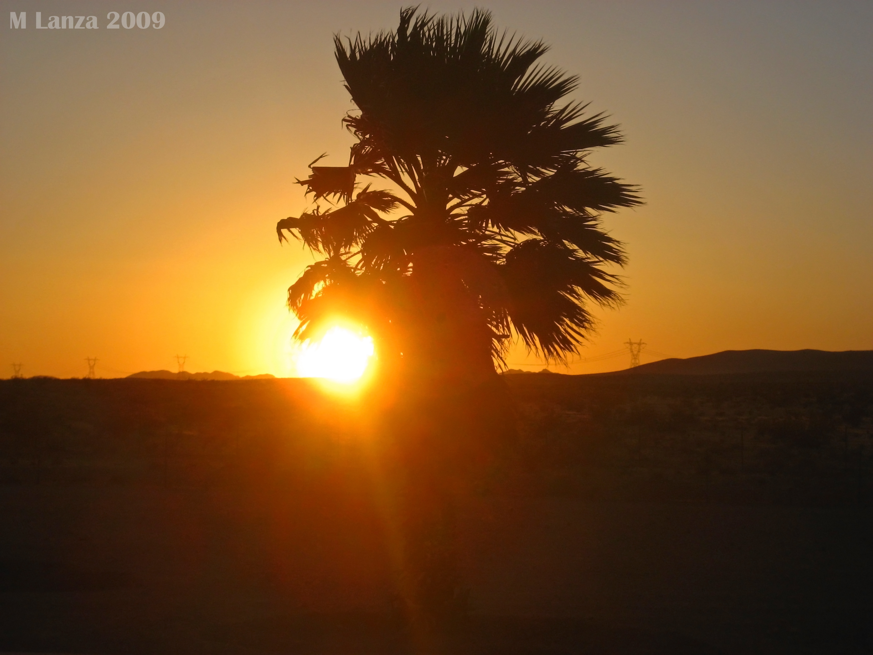
写真
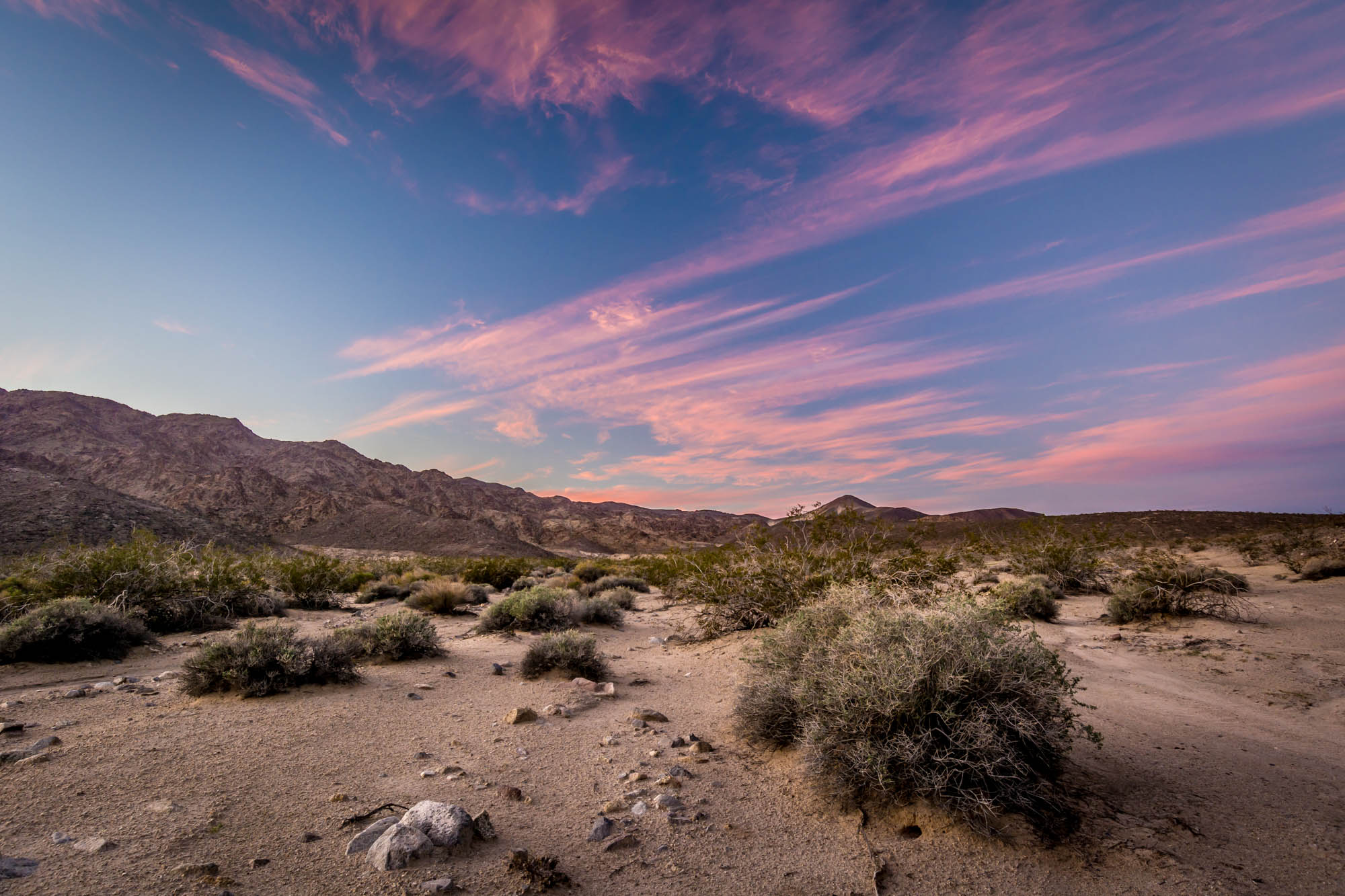
Sunset Skys over Shaw Pass - Mojave National Preserve, CA, USA

Kelso Gold
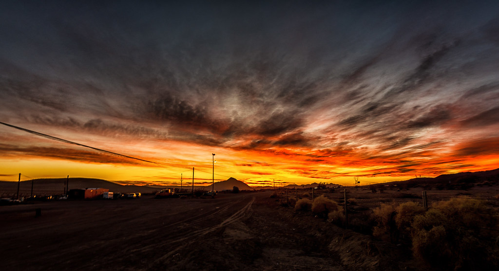
"Smoky" sunset at Rasor Road Services SHELL OIL

Moon camping
I-15 #Sunset #hdr shot by @LisaMcClure
Desert Sunset
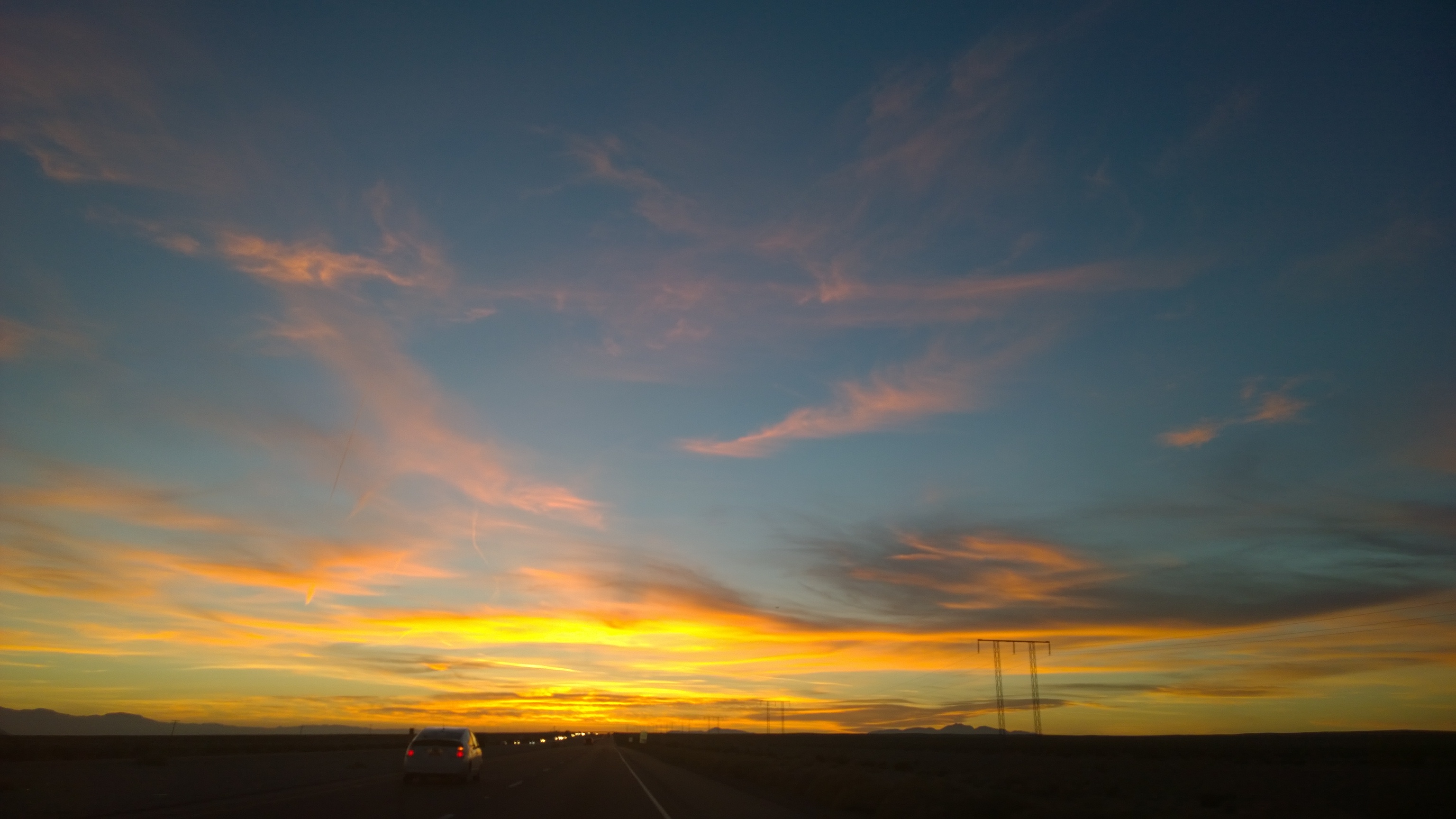
chasing the sunset till Cali
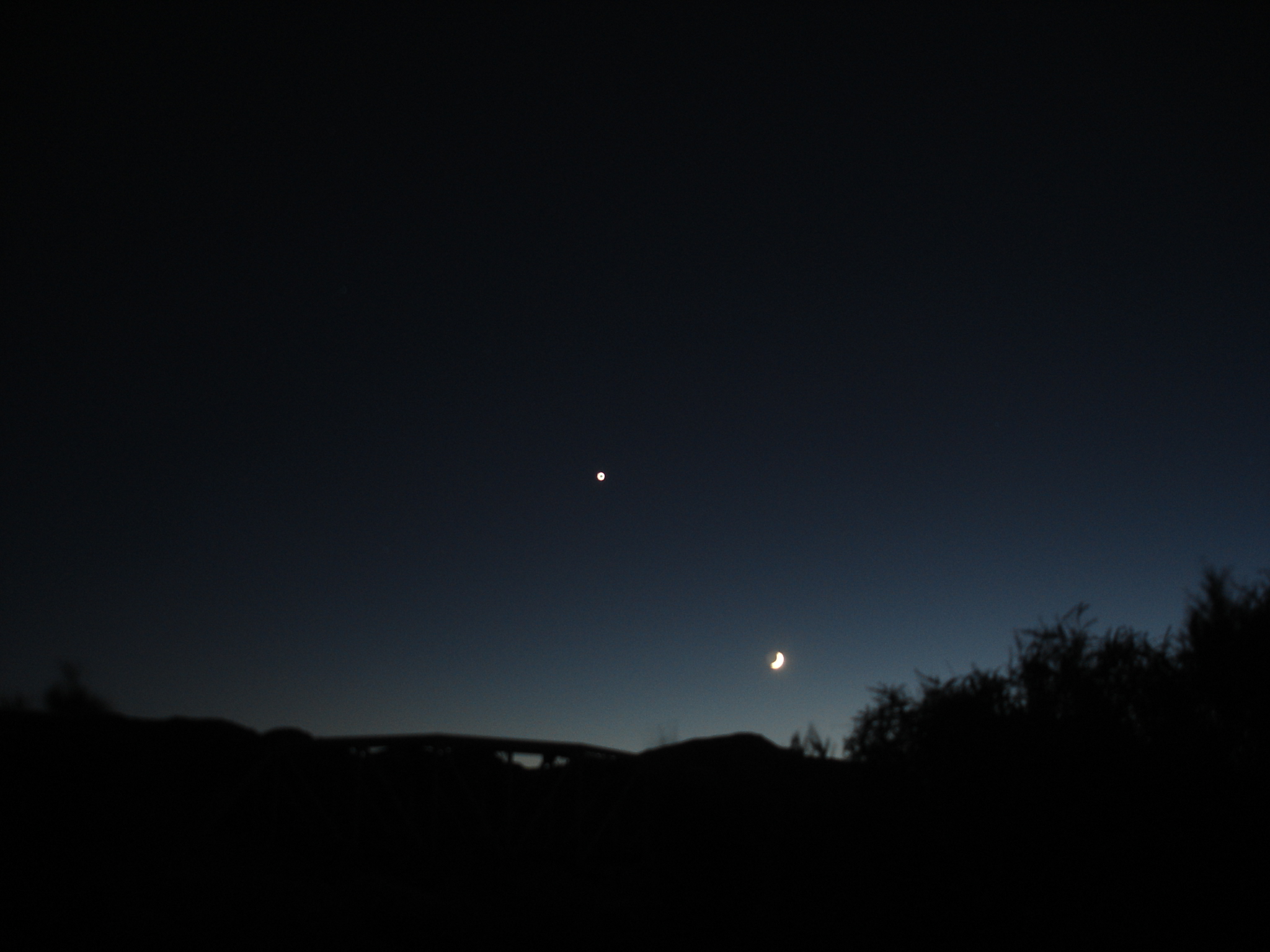
Moon and Venus

Vegas storms are amazing #Mojave #lasvegas
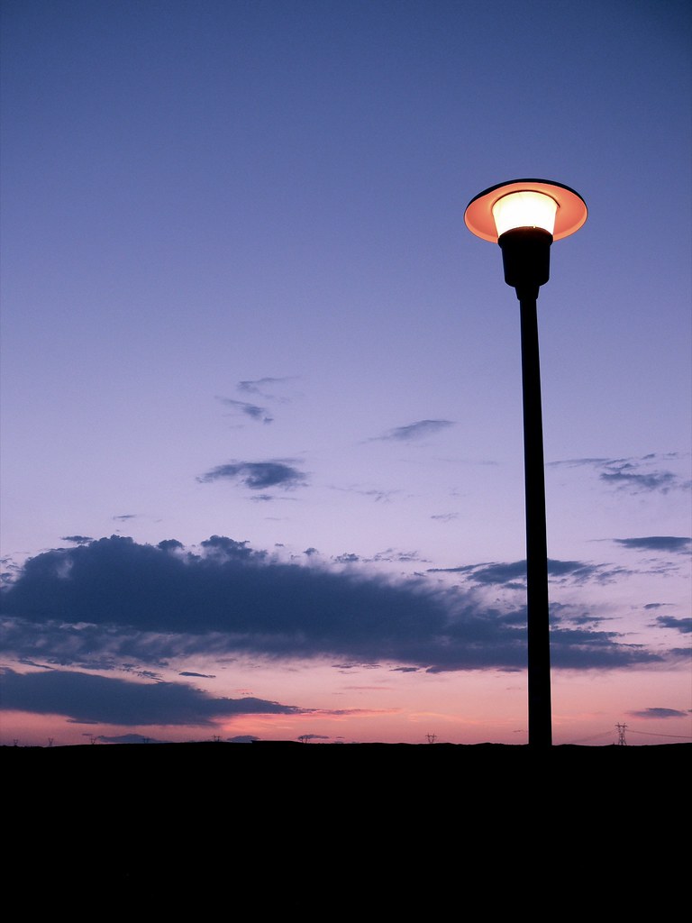
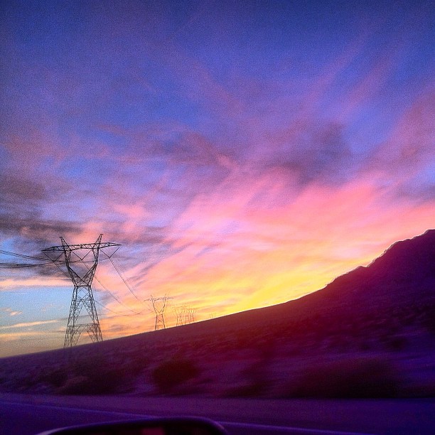
Light Pole
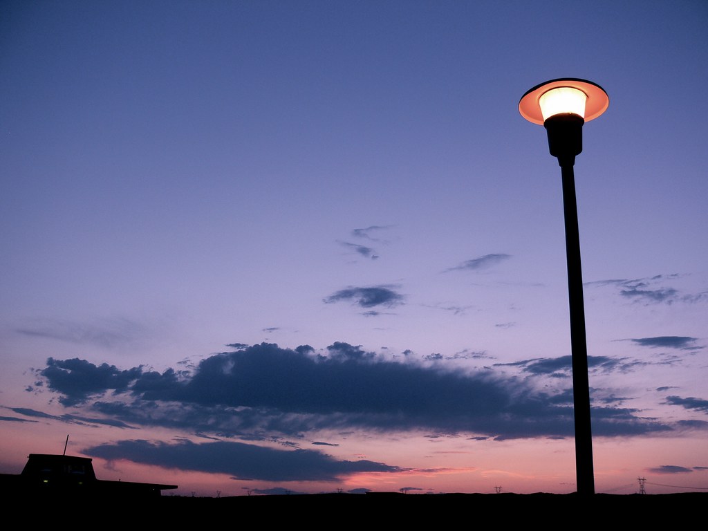
Light Pole
Sunset in the Mojave Desert
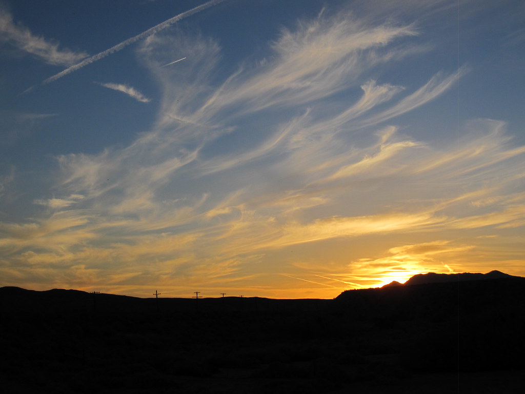
Wispy (at Afton Canyon)
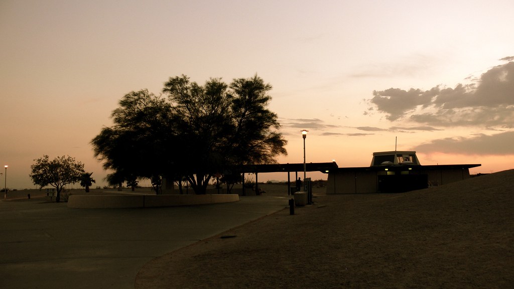
Clyde V. Kane Rest Area
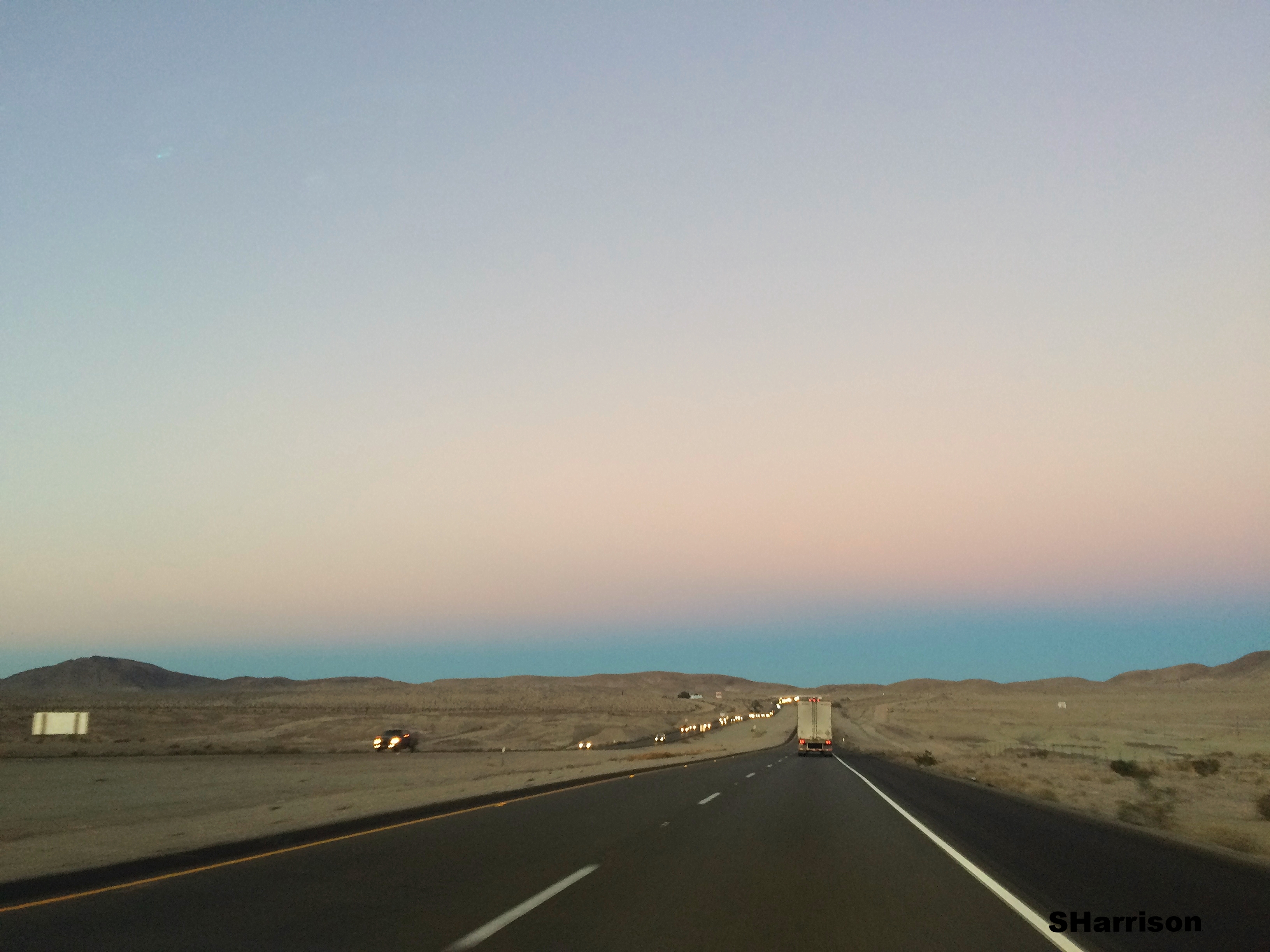
Driving from LA to Vegas

2013-04-14 19.11.15
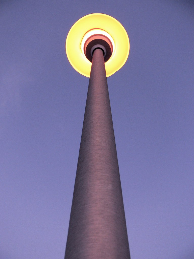
Light Pole
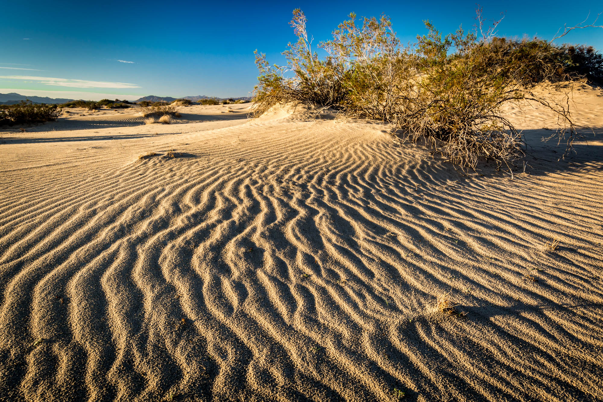
Rippling Sand - Mojave National Preserve, CA, USA

Mojave desert, Nevada
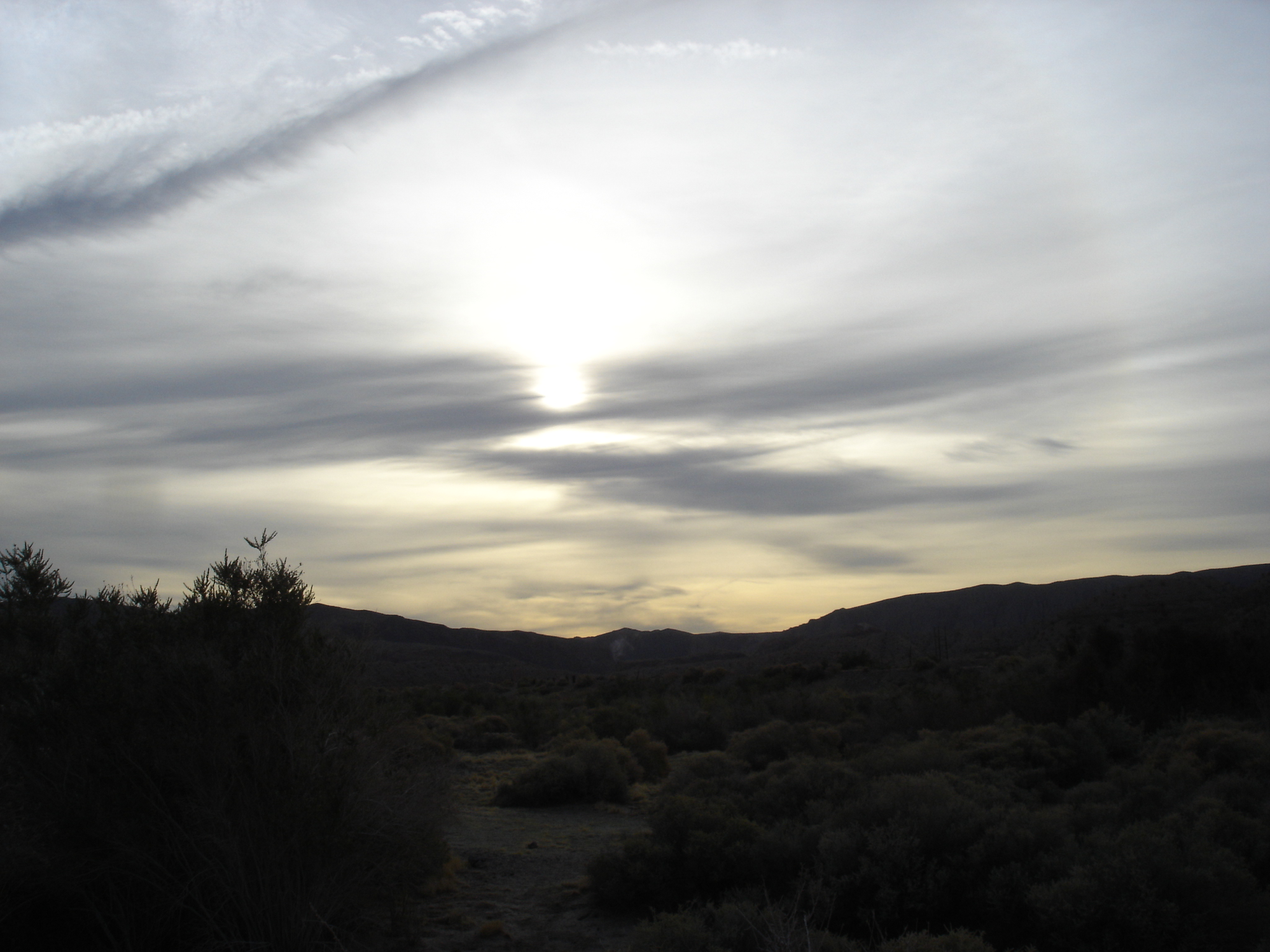
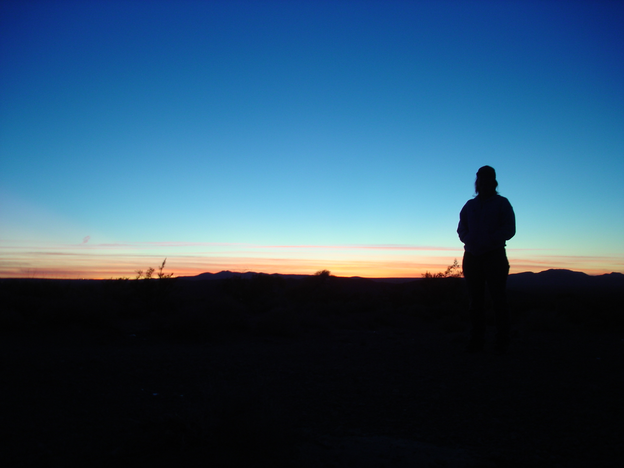
Desert Sunrise
アメリカ合衆国 〒 カリフォルニア州 ベイシンの地図
別の場所を検索
近所の場所
Rasor Rd, Baker, CA アメリカ合衆国
アメリカ合衆国 カリフォルニア州 サン・バーナディーノ
アメリカ合衆国 カリフォルニア州 インランド・エンパイア
アメリカ合衆国 カリフォルニア州 南カリフォルニア
Yermo Rd, Newberry Springs, CA アメリカ合衆国
Vanity Rd, Baker, CA アメリカ合衆国
アメリカ合衆国 〒 カリフォルニア州 ラッドロー
アメリカ合衆国 〒 カリフォルニア州 ニューベリー・スプリングス
アメリカ合衆国 カリフォルニア州 ケルソー
Cima Rd, Kelso, CA アメリカ合衆国
アメリカ合衆国 カリフォルニア州 グラニット・ピーク
アメリカ合衆国 〒 カリフォルニア州 アンボーイ
Shawnee Trail, Landers, CA アメリカ合衆国
アメリカ合衆国 〒 カリフォルニア州 エドガー・ピーク
アメリカ合衆国 カリフォルニア州 エローラ
Sun Terrace, Landers, CA アメリカ合衆国
アメリカ合衆国 〒 カリフォルニア州 ランダーズ
New Dixie Mine Rd, California アメリカ合衆国ニュー・ディクシー・マイン・ロード
Reche Rd, Landers, CA アメリカ合衆国
Bowman Trail, Yucca Valley, CA アメリカ合衆国
最近の検索
- アメリカ合衆国 アラスカ州 レッド・ドッグ・マイン日の出日の入り時間
- Am bhf, Borken, ドイツアム・バーンホーフ日の出日の入り時間
- 4th St E, Sonoma, CA, USA日の出日の入り時間
- Oakland Ave, Williamsport, PA アメリカ合衆国日の出日の入り時間
- Via Roma, Pieranica CR, イタリアローマ通り日の出日の入り時間
- クロアチア 〒 ドゥブロブニク GradClock Tower of Dubrovnik日の出日の入り時間
- アルゼンチン チュブ州 トレリュー日の出日の入り時間
- Hartfords Bluff Cir, Mt Pleasant, SC アメリカ合衆国日の出日の入り時間
- 日本、熊本県熊本市北区日の出日の入り時間
- 中華人民共和国 福州市 平潭県 平潭島日の出日の入り時間