Apache Rd, Kansas, アメリカ合衆国Apache Road日の出日の入り時間
Location: アメリカ合衆国 > カンザス州 > ハーベイ > アメリカ合衆国 カンザス州 アルタ >
時間帯:
America/Chicago
現地時間:
2025-07-06 23:57:25
経度:
-97.6105633
緯度:
38.1741524
今日の日の出時刻:
06:14:40 AM
今日の日の入時刻:
08:56:22 PM
今日の日長:
14h 41m 42s
明日の日の出時刻:
06:15:17 AM
明日の日の入時刻:
08:56:03 PM
明日の日長:
14h 40m 46s
すべて表示する
| 日付 | 日出 | 日没 | 日長 |
|---|---|---|---|
| 2025年01月01日 | 07:47:03 AM | 05:22:09 PM | 9h 35m 6s |
| 2025年01月02日 | 07:47:08 AM | 05:22:59 PM | 9h 35m 51s |
| 2025年01月03日 | 07:47:10 AM | 05:23:51 PM | 9h 36m 41s |
| 2025年01月04日 | 07:47:11 AM | 05:24:44 PM | 9h 37m 33s |
| 2025年01月05日 | 07:47:10 AM | 05:25:38 PM | 9h 38m 28s |
| 2025年01月06日 | 07:47:06 AM | 05:26:33 PM | 9h 39m 27s |
| 2025年01月07日 | 07:47:01 AM | 05:27:29 PM | 9h 40m 28s |
| 2025年01月08日 | 07:46:53 AM | 05:28:26 PM | 9h 41m 33s |
| 2025年01月09日 | 07:46:43 AM | 05:29:25 PM | 9h 42m 42s |
| 2025年01月10日 | 07:46:31 AM | 05:30:24 PM | 9h 43m 53s |
| 2025年01月11日 | 07:46:17 AM | 05:31:24 PM | 9h 45m 7s |
| 2025年01月12日 | 07:46:01 AM | 05:32:25 PM | 9h 46m 24s |
| 2025年01月13日 | 07:45:43 AM | 05:33:27 PM | 9h 47m 44s |
| 2025年01月14日 | 07:45:23 AM | 05:34:29 PM | 9h 49m 6s |
| 2025年01月15日 | 07:45:01 AM | 05:35:32 PM | 9h 50m 31s |
| 2025年01月16日 | 07:44:37 AM | 05:36:36 PM | 9h 51m 59s |
| 2025年01月17日 | 07:44:11 AM | 05:37:40 PM | 9h 53m 29s |
| 2025年01月18日 | 07:43:43 AM | 05:38:45 PM | 9h 55m 2s |
| 2025年01月19日 | 07:43:12 AM | 05:39:50 PM | 9h 56m 38s |
| 2025年01月20日 | 07:42:40 AM | 05:40:56 PM | 9h 58m 16s |
| 2025年01月21日 | 07:42:06 AM | 05:42:02 PM | 9h 59m 56s |
| 2025年01月22日 | 07:41:30 AM | 05:43:09 PM | 10h 1m 39s |
| 2025年01月23日 | 07:40:53 AM | 05:44:16 PM | 10h 3m 23s |
| 2025年01月24日 | 07:40:13 AM | 05:45:23 PM | 10h 5m 10s |
| 2025年01月25日 | 07:39:31 AM | 05:46:30 PM | 10h 6m 59s |
| 2025年01月26日 | 07:38:48 AM | 05:47:38 PM | 10h 8m 50s |
| 2025年01月27日 | 07:38:03 AM | 05:48:45 PM | 10h 10m 42s |
| 2025年01月28日 | 07:37:16 AM | 05:49:53 PM | 10h 12m 37s |
| 2025年01月29日 | 07:36:28 AM | 05:51:01 PM | 10h 14m 33s |
| 2025年01月30日 | 07:35:38 AM | 05:52:09 PM | 10h 16m 31s |
| 2025年01月31日 | 07:34:46 AM | 05:53:17 PM | 10h 18m 31s |
| 2025年02月01日 | 07:33:53 AM | 05:54:25 PM | 10h 20m 32s |
| 2025年02月02日 | 07:32:58 AM | 05:55:33 PM | 10h 22m 35s |
| 2025年02月03日 | 07:32:01 AM | 05:56:41 PM | 10h 24m 40s |
| 2025年02月04日 | 07:31:03 AM | 05:57:48 PM | 10h 26m 45s |
| 2025年02月05日 | 07:30:03 AM | 05:58:56 PM | 10h 28m 53s |
| 2025年02月06日 | 07:29:02 AM | 06:00:03 PM | 10h 31m 1s |
| 2025年02月07日 | 07:28:00 AM | 06:01:11 PM | 10h 33m 11s |
| 2025年02月08日 | 07:26:56 AM | 06:02:18 PM | 10h 35m 22s |
| 2025年02月09日 | 07:25:51 AM | 06:03:25 PM | 10h 37m 34s |
| 2025年02月10日 | 07:24:44 AM | 06:04:31 PM | 10h 39m 47s |
| 2025年02月11日 | 07:23:36 AM | 06:05:38 PM | 10h 42m 2s |
| 2025年02月12日 | 07:22:27 AM | 06:06:44 PM | 10h 44m 17s |
| 2025年02月13日 | 07:21:17 AM | 06:07:50 PM | 10h 46m 33s |
| 2025年02月14日 | 07:20:06 AM | 06:08:56 PM | 10h 48m 50s |
| 2025年02月15日 | 07:18:53 AM | 06:10:01 PM | 10h 51m 8s |
| 2025年02月16日 | 07:17:39 AM | 06:11:06 PM | 10h 53m 27s |
| 2025年02月17日 | 07:16:24 AM | 06:12:11 PM | 10h 55m 47s |
| 2025年02月18日 | 07:15:08 AM | 06:13:16 PM | 10h 58m 8s |
| 2025年02月19日 | 07:13:52 AM | 06:14:20 PM | 11h 0m 28s |
| 2025年02月20日 | 07:12:34 AM | 06:15:24 PM | 11h 2m 50s |
| 2025年02月21日 | 07:11:15 AM | 06:16:27 PM | 11h 5m 12s |
| 2025年02月22日 | 07:09:55 AM | 06:17:31 PM | 11h 7m 36s |
| 2025年02月23日 | 07:08:34 AM | 06:18:34 PM | 11h 10m 0s |
| 2025年02月24日 | 07:07:13 AM | 06:19:36 PM | 11h 12m 23s |
| 2025年02月25日 | 07:05:51 AM | 06:20:39 PM | 11h 14m 48s |
| 2025年02月26日 | 07:04:27 AM | 06:21:41 PM | 11h 17m 14s |
| 2025年02月27日 | 07:03:04 AM | 06:22:42 PM | 11h 19m 38s |
| 2025年02月28日 | 07:01:39 AM | 06:23:44 PM | 11h 22m 5s |
| 2025年03月01日 | 07:00:14 AM | 06:24:45 PM | 11h 24m 31s |
| 2025年03月02日 | 06:58:48 AM | 06:25:46 PM | 11h 26m 58s |
| 2025年03月03日 | 06:57:21 AM | 06:26:46 PM | 11h 29m 25s |
| 2025年03月04日 | 06:55:54 AM | 06:27:46 PM | 11h 31m 52s |
| 2025年03月05日 | 06:54:26 AM | 06:28:46 PM | 11h 34m 20s |
| 2025年03月06日 | 06:52:58 AM | 06:29:46 PM | 11h 36m 48s |
| 2025年03月07日 | 06:51:29 AM | 06:30:45 PM | 11h 39m 16s |
| 2025年03月08日 | 06:50:00 AM | 06:31:45 PM | 11h 41m 45s |
| 2025年03月09日 | 07:48:34 AM | 07:32:41 PM | 11h 44m 7s |
| 2025年03月10日 | 07:47:04 AM | 07:33:40 PM | 11h 46m 36s |
| 2025年03月11日 | 07:45:34 AM | 07:34:38 PM | 11h 49m 4s |
| 2025年03月12日 | 07:44:03 AM | 07:35:36 PM | 11h 51m 33s |
| 2025年03月13日 | 07:42:32 AM | 07:36:34 PM | 11h 54m 2s |
| 2025年03月14日 | 07:41:01 AM | 07:37:32 PM | 11h 56m 31s |
| 2025年03月15日 | 07:39:29 AM | 07:38:29 PM | 11h 59m 0s |
| 2025年03月16日 | 07:37:57 AM | 07:39:27 PM | 12h 1m 30s |
| 2025年03月17日 | 07:36:25 AM | 07:40:24 PM | 12h 3m 59s |
| 2025年03月18日 | 07:34:53 AM | 07:41:21 PM | 12h 6m 28s |
| 2025年03月19日 | 07:33:21 AM | 07:42:18 PM | 12h 8m 57s |
| 2025年03月20日 | 07:31:49 AM | 07:43:15 PM | 12h 11m 26s |
| 2025年03月21日 | 07:30:16 AM | 07:44:11 PM | 12h 13m 55s |
| 2025年03月22日 | 07:28:44 AM | 07:45:08 PM | 12h 16m 24s |
| 2025年03月23日 | 07:27:11 AM | 07:46:04 PM | 12h 18m 53s |
| 2025年03月24日 | 07:25:39 AM | 07:47:00 PM | 12h 21m 21s |
| 2025年03月25日 | 07:24:06 AM | 07:47:57 PM | 12h 23m 51s |
| 2025年03月26日 | 07:22:34 AM | 07:48:53 PM | 12h 26m 19s |
| 2025年03月27日 | 07:21:02 AM | 07:49:49 PM | 12h 28m 47s |
| 2025年03月28日 | 07:19:30 AM | 07:50:45 PM | 12h 31m 15s |
| 2025年03月29日 | 07:17:58 AM | 07:51:41 PM | 12h 33m 43s |
| 2025年03月30日 | 07:16:26 AM | 07:52:36 PM | 12h 36m 10s |
| 2025年03月31日 | 07:14:55 AM | 07:53:32 PM | 12h 38m 37s |
| 2025年04月01日 | 07:13:24 AM | 07:54:28 PM | 12h 41m 4s |
| 2025年04月02日 | 07:11:53 AM | 07:55:24 PM | 12h 43m 31s |
| 2025年04月03日 | 07:10:22 AM | 07:56:20 PM | 12h 45m 58s |
| 2025年04月04日 | 07:08:52 AM | 07:57:15 PM | 12h 48m 23s |
| 2025年04月05日 | 07:07:22 AM | 07:58:11 PM | 12h 50m 49s |
| 2025年04月06日 | 07:05:53 AM | 07:59:07 PM | 12h 53m 14s |
| 2025年04月07日 | 07:04:24 AM | 08:00:03 PM | 12h 55m 39s |
| 2025年04月08日 | 07:02:55 AM | 08:00:59 PM | 12h 58m 4s |
| 2025年04月09日 | 07:01:27 AM | 08:01:54 PM | 13h 0m 27s |
| 2025年04月10日 | 07:00:00 AM | 08:02:50 PM | 13h 2m 50s |
| 2025年04月11日 | 06:58:33 AM | 08:03:46 PM | 13h 5m 13s |
| 2025年04月12日 | 06:57:06 AM | 08:04:42 PM | 13h 7m 36s |
| 2025年04月13日 | 06:55:41 AM | 08:05:38 PM | 13h 9m 57s |
| 2025年04月14日 | 06:54:16 AM | 08:06:34 PM | 13h 12m 18s |
| 2025年04月15日 | 06:52:51 AM | 08:07:30 PM | 13h 14m 39s |
| 2025年04月16日 | 06:51:28 AM | 08:08:26 PM | 13h 16m 58s |
| 2025年04月17日 | 06:50:05 AM | 08:09:23 PM | 13h 19m 18s |
| 2025年04月18日 | 06:48:43 AM | 08:10:19 PM | 13h 21m 36s |
| 2025年04月19日 | 06:47:21 AM | 08:11:15 PM | 13h 23m 54s |
| 2025年04月20日 | 06:46:01 AM | 08:12:11 PM | 13h 26m 10s |
| 2025年04月21日 | 06:44:41 AM | 08:13:07 PM | 13h 28m 26s |
| 2025年04月22日 | 06:43:22 AM | 08:14:04 PM | 13h 30m 42s |
| 2025年04月23日 | 06:42:04 AM | 08:15:00 PM | 13h 32m 56s |
| 2025年04月24日 | 06:40:48 AM | 08:15:56 PM | 13h 35m 8s |
| 2025年04月25日 | 06:39:32 AM | 08:16:53 PM | 13h 37m 21s |
| 2025年04月26日 | 06:38:17 AM | 08:17:49 PM | 13h 39m 32s |
| 2025年04月27日 | 06:37:03 AM | 08:18:45 PM | 13h 41m 42s |
| 2025年04月28日 | 06:35:50 AM | 08:19:41 PM | 13h 43m 51s |
| 2025年04月29日 | 06:34:39 AM | 08:20:37 PM | 13h 45m 58s |
| 2025年04月30日 | 06:33:28 AM | 08:21:33 PM | 13h 48m 5s |
| 2025年05月01日 | 06:32:19 AM | 08:22:29 PM | 13h 50m 10s |
| 2025年05月02日 | 06:31:11 AM | 08:23:25 PM | 13h 52m 14s |
| 2025年05月03日 | 06:30:04 AM | 08:24:21 PM | 13h 54m 17s |
| 2025年05月04日 | 06:28:58 AM | 08:25:17 PM | 13h 56m 19s |
| 2025年05月05日 | 06:27:54 AM | 08:26:12 PM | 13h 58m 18s |
| 2025年05月06日 | 06:26:50 AM | 08:27:07 PM | 14h 0m 17s |
| 2025年05月07日 | 06:25:49 AM | 08:28:02 PM | 14h 2m 13s |
| 2025年05月08日 | 06:24:48 AM | 08:28:57 PM | 14h 4m 9s |
| 2025年05月09日 | 06:23:49 AM | 08:29:52 PM | 14h 6m 3s |
| 2025年05月10日 | 06:22:52 AM | 08:30:46 PM | 14h 7m 54s |
| 2025年05月11日 | 06:21:56 AM | 08:31:40 PM | 14h 9m 44s |
| 2025年05月12日 | 06:21:01 AM | 08:32:34 PM | 14h 11m 33s |
| 2025年05月13日 | 06:20:08 AM | 08:33:27 PM | 14h 13m 19s |
| 2025年05月14日 | 06:19:16 AM | 08:34:20 PM | 14h 15m 4s |
| 2025年05月15日 | 06:18:26 AM | 08:35:13 PM | 14h 16m 47s |
| 2025年05月16日 | 06:17:37 AM | 08:36:05 PM | 14h 18m 28s |
| 2025年05月17日 | 06:16:50 AM | 08:36:57 PM | 14h 20m 7s |
| 2025年05月18日 | 06:16:05 AM | 08:37:48 PM | 14h 21m 43s |
| 2025年05月19日 | 06:15:21 AM | 08:38:38 PM | 14h 23m 17s |
| 2025年05月20日 | 06:14:39 AM | 08:39:28 PM | 14h 24m 49s |
| 2025年05月21日 | 06:13:59 AM | 08:40:18 PM | 14h 26m 19s |
| 2025年05月22日 | 06:13:20 AM | 08:41:06 PM | 14h 27m 46s |
| 2025年05月23日 | 06:12:43 AM | 08:41:54 PM | 14h 29m 11s |
| 2025年05月24日 | 06:12:08 AM | 08:42:42 PM | 14h 30m 34s |
| 2025年05月25日 | 06:11:35 AM | 08:43:28 PM | 14h 31m 53s |
| 2025年05月26日 | 06:11:03 AM | 08:44:14 PM | 14h 33m 11s |
| 2025年05月27日 | 06:10:33 AM | 08:44:59 PM | 14h 34m 26s |
| 2025年05月28日 | 06:10:05 AM | 08:45:43 PM | 14h 35m 38s |
| 2025年05月29日 | 06:09:39 AM | 08:46:26 PM | 14h 36m 47s |
| 2025年05月30日 | 06:09:14 AM | 08:47:08 PM | 14h 37m 54s |
| 2025年05月31日 | 06:08:51 AM | 08:47:49 PM | 14h 38m 58s |
| 2025年06月01日 | 06:08:30 AM | 08:48:29 PM | 14h 39m 59s |
| 2025年06月02日 | 06:08:11 AM | 08:49:08 PM | 14h 40m 57s |
| 2025年06月03日 | 06:07:54 AM | 08:49:46 PM | 14h 41m 52s |
| 2025年06月04日 | 06:07:38 AM | 08:50:22 PM | 14h 42m 44s |
| 2025年06月05日 | 06:07:25 AM | 08:50:58 PM | 14h 43m 33s |
| 2025年06月06日 | 06:07:13 AM | 08:51:32 PM | 14h 44m 19s |
| 2025年06月07日 | 06:07:03 AM | 08:52:05 PM | 14h 45m 2s |
| 2025年06月08日 | 06:06:55 AM | 08:52:36 PM | 14h 45m 41s |
| 2025年06月09日 | 06:06:49 AM | 08:53:07 PM | 14h 46m 18s |
| 2025年06月10日 | 06:06:44 AM | 08:53:36 PM | 14h 46m 52s |
| 2025年06月11日 | 06:06:41 AM | 08:54:03 PM | 14h 47m 22s |
| 2025年06月12日 | 06:06:40 AM | 08:54:29 PM | 14h 47m 49s |
| 2025年06月13日 | 06:06:41 AM | 08:54:54 PM | 14h 48m 13s |
| 2025年06月14日 | 06:06:44 AM | 08:55:17 PM | 14h 48m 33s |
| 2025年06月15日 | 06:06:48 AM | 08:55:38 PM | 14h 48m 50s |
| 2025年06月16日 | 06:06:54 AM | 08:55:58 PM | 14h 49m 4s |
| 2025年06月17日 | 06:07:02 AM | 08:56:16 PM | 14h 49m 14s |
| 2025年06月18日 | 06:07:12 AM | 08:56:33 PM | 14h 49m 21s |
| 2025年06月19日 | 06:07:23 AM | 08:56:48 PM | 14h 49m 25s |
| 2025年06月20日 | 06:07:36 AM | 08:57:01 PM | 14h 49m 25s |
| 2025年06月21日 | 06:07:50 AM | 08:57:13 PM | 14h 49m 23s |
| 2025年06月22日 | 06:08:07 AM | 08:57:22 PM | 14h 49m 15s |
| 2025年06月23日 | 06:08:24 AM | 08:57:31 PM | 14h 49m 7s |
| 2025年06月24日 | 06:08:43 AM | 08:57:37 PM | 14h 48m 54s |
| 2025年06月25日 | 06:09:04 AM | 08:57:41 PM | 14h 48m 37s |
| 2025年06月26日 | 06:09:26 AM | 08:57:44 PM | 14h 48m 18s |
| 2025年06月27日 | 06:09:50 AM | 08:57:45 PM | 14h 47m 55s |
| 2025年06月28日 | 06:10:15 AM | 08:57:44 PM | 14h 47m 29s |
| 2025年06月29日 | 06:10:42 AM | 08:57:41 PM | 14h 46m 59s |
| 2025年06月30日 | 06:11:10 AM | 08:57:36 PM | 14h 46m 26s |
| 2025年07月01日 | 06:11:39 AM | 08:57:30 PM | 14h 45m 51s |
| 2025年07月02日 | 06:12:09 AM | 08:57:22 PM | 14h 45m 13s |
| 2025年07月03日 | 06:12:41 AM | 08:57:11 PM | 14h 44m 30s |
| 2025年07月04日 | 06:13:14 AM | 08:56:59 PM | 14h 43m 45s |
| 2025年07月05日 | 06:13:48 AM | 08:56:45 PM | 14h 42m 57s |
| 2025年07月06日 | 06:14:23 AM | 08:56:29 PM | 14h 42m 6s |
| 2025年07月07日 | 06:15:00 AM | 08:56:12 PM | 14h 41m 12s |
| 2025年07月08日 | 06:15:37 AM | 08:55:52 PM | 14h 40m 15s |
| 2025年07月09日 | 06:16:15 AM | 08:55:31 PM | 14h 39m 16s |
| 2025年07月10日 | 06:16:55 AM | 08:55:07 PM | 14h 38m 12s |
| 2025年07月11日 | 06:17:35 AM | 08:54:42 PM | 14h 37m 7s |
| 2025年07月12日 | 06:18:16 AM | 08:54:15 PM | 14h 35m 59s |
| 2025年07月13日 | 06:18:58 AM | 08:53:46 PM | 14h 34m 48s |
| 2025年07月14日 | 06:19:41 AM | 08:53:16 PM | 14h 33m 35s |
| 2025年07月15日 | 06:20:25 AM | 08:52:43 PM | 14h 32m 18s |
| 2025年07月16日 | 06:21:09 AM | 08:52:09 PM | 14h 31m 0s |
| 2025年07月17日 | 06:21:54 AM | 08:51:33 PM | 14h 29m 39s |
| 2025年07月18日 | 06:22:40 AM | 08:50:55 PM | 14h 28m 15s |
| 2025年07月19日 | 06:23:26 AM | 08:50:16 PM | 14h 26m 50s |
| 2025年07月20日 | 06:24:13 AM | 08:49:34 PM | 14h 25m 21s |
| 2025年07月21日 | 06:25:01 AM | 08:48:52 PM | 14h 23m 51s |
| 2025年07月22日 | 06:25:49 AM | 08:48:07 PM | 14h 22m 18s |
| 2025年07月23日 | 06:26:38 AM | 08:47:21 PM | 14h 20m 43s |
| 2025年07月24日 | 06:27:27 AM | 08:46:33 PM | 14h 19m 6s |
| 2025年07月25日 | 06:28:16 AM | 08:45:43 PM | 14h 17m 27s |
| 2025年07月26日 | 06:29:06 AM | 08:44:52 PM | 14h 15m 46s |
| 2025年07月27日 | 06:29:56 AM | 08:43:59 PM | 14h 14m 3s |
| 2025年07月28日 | 06:30:47 AM | 08:43:05 PM | 14h 12m 18s |
| 2025年07月29日 | 06:31:38 AM | 08:42:10 PM | 14h 10m 32s |
| 2025年07月30日 | 06:32:29 AM | 08:41:12 PM | 14h 8m 43s |
| 2025年07月31日 | 06:33:20 AM | 08:40:14 PM | 14h 6m 54s |
| 2025年08月01日 | 06:34:12 AM | 08:39:13 PM | 14h 5m 1s |
| 2025年08月02日 | 06:35:03 AM | 08:38:12 PM | 14h 3m 9s |
| 2025年08月03日 | 06:35:55 AM | 08:37:09 PM | 14h 1m 14s |
| 2025年08月04日 | 06:36:47 AM | 08:36:05 PM | 13h 59m 18s |
| 2025年08月05日 | 06:37:40 AM | 08:34:59 PM | 13h 57m 19s |
| 2025年08月06日 | 06:38:32 AM | 08:33:52 PM | 13h 55m 20s |
| 2025年08月07日 | 06:39:25 AM | 08:32:44 PM | 13h 53m 19s |
| 2025年08月08日 | 06:40:17 AM | 08:31:35 PM | 13h 51m 18s |
| 2025年08月09日 | 06:41:10 AM | 08:30:24 PM | 13h 49m 14s |
| 2025年08月10日 | 06:42:02 AM | 08:29:12 PM | 13h 47m 10s |
| 2025年08月11日 | 06:42:55 AM | 08:27:59 PM | 13h 45m 4s |
| 2025年08月12日 | 06:43:48 AM | 08:26:45 PM | 13h 42m 57s |
| 2025年08月13日 | 06:44:40 AM | 08:25:30 PM | 13h 40m 50s |
| 2025年08月14日 | 06:45:33 AM | 08:24:14 PM | 13h 38m 41s |
| 2025年08月15日 | 06:46:25 AM | 08:22:56 PM | 13h 36m 31s |
| 2025年08月16日 | 06:47:18 AM | 08:21:38 PM | 13h 34m 20s |
| 2025年08月17日 | 06:48:11 AM | 08:20:19 PM | 13h 32m 8s |
| 2025年08月18日 | 06:49:03 AM | 08:18:59 PM | 13h 29m 56s |
| 2025年08月19日 | 06:49:56 AM | 08:17:38 PM | 13h 27m 42s |
| 2025年08月20日 | 06:50:48 AM | 08:16:16 PM | 13h 25m 28s |
| 2025年08月21日 | 06:51:40 AM | 08:14:53 PM | 13h 23m 13s |
| 2025年08月22日 | 06:52:33 AM | 08:13:29 PM | 13h 20m 56s |
| 2025年08月23日 | 06:53:25 AM | 08:12:05 PM | 13h 18m 40s |
| 2025年08月24日 | 06:54:17 AM | 08:10:39 PM | 13h 16m 22s |
| 2025年08月25日 | 06:55:09 AM | 08:09:13 PM | 13h 14m 4s |
| 2025年08月26日 | 06:56:01 AM | 08:07:47 PM | 13h 11m 46s |
| 2025年08月27日 | 06:56:53 AM | 08:06:20 PM | 13h 9m 27s |
| 2025年08月28日 | 06:57:45 AM | 08:04:52 PM | 13h 7m 7s |
| 2025年08月29日 | 06:58:37 AM | 08:03:23 PM | 13h 4m 46s |
| 2025年08月30日 | 06:59:28 AM | 08:01:54 PM | 13h 2m 26s |
| 2025年08月31日 | 07:00:20 AM | 08:00:24 PM | 13h 0m 4s |
| 2025年09月01日 | 07:01:12 AM | 07:58:54 PM | 12h 57m 42s |
| 2025年09月02日 | 07:02:03 AM | 07:57:23 PM | 12h 55m 20s |
| 2025年09月03日 | 07:02:55 AM | 07:55:52 PM | 12h 52m 57s |
| 2025年09月04日 | 07:03:46 AM | 07:54:20 PM | 12h 50m 34s |
| 2025年09月05日 | 07:04:38 AM | 07:52:48 PM | 12h 48m 10s |
| 2025年09月06日 | 07:05:29 AM | 07:51:16 PM | 12h 45m 47s |
| 2025年09月07日 | 07:06:21 AM | 07:49:43 PM | 12h 43m 22s |
| 2025年09月08日 | 07:07:12 AM | 07:48:10 PM | 12h 40m 58s |
| 2025年09月09日 | 07:08:03 AM | 07:46:36 PM | 12h 38m 33s |
| 2025年09月10日 | 07:08:55 AM | 07:45:03 PM | 12h 36m 8s |
| 2025年09月11日 | 07:09:46 AM | 07:43:29 PM | 12h 33m 43s |
| 2025年09月12日 | 07:10:38 AM | 07:41:55 PM | 12h 31m 17s |
| 2025年09月13日 | 07:11:29 AM | 07:40:21 PM | 12h 28m 52s |
| 2025年09月14日 | 07:12:21 AM | 07:38:46 PM | 12h 26m 25s |
| 2025年09月15日 | 07:13:12 AM | 07:37:12 PM | 12h 24m 0s |
| 2025年09月16日 | 07:14:04 AM | 07:35:37 PM | 12h 21m 33s |
| 2025年09月17日 | 07:14:56 AM | 07:34:02 PM | 12h 19m 6s |
| 2025年09月18日 | 07:15:48 AM | 07:32:28 PM | 12h 16m 40s |
| 2025年09月19日 | 07:16:40 AM | 07:30:53 PM | 12h 14m 13s |
| 2025年09月20日 | 07:17:32 AM | 07:29:18 PM | 12h 11m 46s |
| 2025年09月21日 | 07:18:24 AM | 07:27:44 PM | 12h 9m 20s |
| 2025年09月22日 | 07:19:16 AM | 07:26:09 PM | 12h 6m 53s |
| 2025年09月23日 | 07:20:09 AM | 07:24:35 PM | 12h 4m 26s |
| 2025年09月24日 | 07:21:01 AM | 07:23:01 PM | 12h 2m 0s |
| 2025年09月25日 | 07:21:54 AM | 07:21:27 PM | 11h 59m 33s |
| 2025年09月26日 | 07:22:47 AM | 07:19:53 PM | 11h 57m 6s |
| 2025年09月27日 | 07:23:41 AM | 07:18:19 PM | 11h 54m 38s |
| 2025年09月28日 | 07:24:34 AM | 07:16:46 PM | 11h 52m 12s |
| 2025年09月29日 | 07:25:28 AM | 07:15:13 PM | 11h 49m 45s |
| 2025年09月30日 | 07:26:21 AM | 07:13:40 PM | 11h 47m 19s |
| 2025年10月01日 | 07:27:16 AM | 07:12:08 PM | 11h 44m 52s |
| 2025年10月02日 | 07:28:10 AM | 07:10:36 PM | 11h 42m 26s |
| 2025年10月03日 | 07:29:05 AM | 07:09:04 PM | 11h 39m 59s |
| 2025年10月04日 | 07:29:59 AM | 07:07:33 PM | 11h 37m 34s |
| 2025年10月05日 | 07:30:55 AM | 07:06:03 PM | 11h 35m 8s |
| 2025年10月06日 | 07:31:50 AM | 07:04:33 PM | 11h 32m 43s |
| 2025年10月07日 | 07:32:46 AM | 07:03:03 PM | 11h 30m 17s |
| 2025年10月08日 | 07:33:42 AM | 07:01:34 PM | 11h 27m 52s |
| 2025年10月09日 | 07:34:38 AM | 07:00:06 PM | 11h 25m 28s |
| 2025年10月10日 | 07:35:35 AM | 06:58:38 PM | 11h 23m 3s |
| 2025年10月11日 | 07:36:32 AM | 06:57:11 PM | 11h 20m 39s |
| 2025年10月12日 | 07:37:29 AM | 06:55:45 PM | 11h 18m 16s |
| 2025年10月13日 | 07:38:27 AM | 06:54:19 PM | 11h 15m 52s |
| 2025年10月14日 | 07:39:25 AM | 06:52:54 PM | 11h 13m 29s |
| 2025年10月15日 | 07:40:23 AM | 06:51:30 PM | 11h 11m 7s |
| 2025年10月16日 | 07:41:22 AM | 06:50:07 PM | 11h 8m 45s |
| 2025年10月17日 | 07:42:21 AM | 06:48:44 PM | 11h 6m 23s |
| 2025年10月18日 | 07:43:20 AM | 06:47:23 PM | 11h 4m 3s |
| 2025年10月19日 | 07:44:20 AM | 06:46:02 PM | 11h 1m 42s |
| 2025年10月20日 | 07:45:20 AM | 06:44:43 PM | 10h 59m 23s |
| 2025年10月21日 | 07:46:20 AM | 06:43:24 PM | 10h 57m 4s |
| 2025年10月22日 | 07:47:21 AM | 06:42:07 PM | 10h 54m 46s |
| 2025年10月23日 | 07:48:22 AM | 06:40:50 PM | 10h 52m 28s |
| 2025年10月24日 | 07:49:23 AM | 06:39:35 PM | 10h 50m 12s |
| 2025年10月25日 | 07:50:25 AM | 06:38:20 PM | 10h 47m 55s |
| 2025年10月26日 | 07:51:27 AM | 06:37:07 PM | 10h 45m 40s |
| 2025年10月27日 | 07:52:29 AM | 06:35:55 PM | 10h 43m 26s |
| 2025年10月28日 | 07:53:31 AM | 06:34:45 PM | 10h 41m 14s |
| 2025年10月29日 | 07:54:34 AM | 06:33:35 PM | 10h 39m 1s |
| 2025年10月30日 | 07:55:37 AM | 06:32:27 PM | 10h 36m 50s |
| 2025年10月31日 | 07:56:41 AM | 06:31:20 PM | 10h 34m 39s |
| 2025年11月01日 | 07:57:44 AM | 06:30:15 PM | 10h 32m 31s |
| 2025年11月02日 | 06:58:51 AM | 05:29:08 PM | 10h 30m 17s |
| 2025年11月03日 | 06:59:55 AM | 05:28:06 PM | 10h 28m 11s |
| 2025年11月04日 | 07:00:59 AM | 05:27:04 PM | 10h 26m 5s |
| 2025年11月05日 | 07:02:04 AM | 05:26:05 PM | 10h 24m 1s |
| 2025年11月06日 | 07:03:08 AM | 05:25:07 PM | 10h 21m 59s |
| 2025年11月07日 | 07:04:13 AM | 05:24:10 PM | 10h 19m 57s |
| 2025年11月08日 | 07:05:18 AM | 05:23:15 PM | 10h 17m 57s |
| 2025年11月09日 | 07:06:22 AM | 05:22:22 PM | 10h 16m 0s |
| 2025年11月10日 | 07:07:27 AM | 05:21:31 PM | 10h 14m 4s |
| 2025年11月11日 | 07:08:32 AM | 05:20:41 PM | 10h 12m 9s |
| 2025年11月12日 | 07:09:37 AM | 05:19:53 PM | 10h 10m 16s |
| 2025年11月13日 | 07:10:42 AM | 05:19:06 PM | 10h 8m 24s |
| 2025年11月14日 | 07:11:46 AM | 05:18:22 PM | 10h 6m 36s |
| 2025年11月15日 | 07:12:51 AM | 05:17:39 PM | 10h 4m 48s |
| 2025年11月16日 | 07:13:55 AM | 05:16:58 PM | 10h 3m 3s |
| 2025年11月17日 | 07:15:00 AM | 05:16:19 PM | 10h 1m 19s |
| 2025年11月18日 | 07:16:04 AM | 05:15:41 PM | 9h 59m 37s |
| 2025年11月19日 | 07:17:07 AM | 05:15:06 PM | 9h 57m 59s |
| 2025年11月20日 | 07:18:11 AM | 05:14:33 PM | 9h 56m 22s |
| 2025年11月21日 | 07:19:14 AM | 05:14:01 PM | 9h 54m 47s |
| 2025年11月22日 | 07:20:16 AM | 05:13:32 PM | 9h 53m 16s |
| 2025年11月23日 | 07:21:18 AM | 05:13:04 PM | 9h 51m 46s |
| 2025年11月24日 | 07:22:20 AM | 05:12:39 PM | 9h 50m 19s |
| 2025年11月25日 | 07:23:21 AM | 05:12:16 PM | 9h 48m 55s |
| 2025年11月26日 | 07:24:21 AM | 05:11:55 PM | 9h 47m 34s |
| 2025年11月27日 | 07:25:21 AM | 05:11:35 PM | 9h 46m 14s |
| 2025年11月28日 | 07:26:20 AM | 05:11:18 PM | 9h 44m 58s |
| 2025年11月29日 | 07:27:18 AM | 05:11:03 PM | 9h 43m 45s |
| 2025年11月30日 | 07:28:16 AM | 05:10:50 PM | 9h 42m 34s |
| 2025年12月01日 | 07:29:13 AM | 05:10:40 PM | 9h 41m 27s |
| 2025年12月02日 | 07:30:08 AM | 05:10:31 PM | 9h 40m 23s |
| 2025年12月03日 | 07:31:03 AM | 05:10:25 PM | 9h 39m 22s |
| 2025年12月04日 | 07:31:57 AM | 05:10:20 PM | 9h 38m 23s |
| 2025年12月05日 | 07:32:50 AM | 05:10:18 PM | 9h 37m 28s |
| 2025年12月06日 | 07:33:41 AM | 05:10:18 PM | 9h 36m 37s |
| 2025年12月07日 | 07:34:32 AM | 05:10:20 PM | 9h 35m 48s |
| 2025年12月08日 | 07:35:21 AM | 05:10:24 PM | 9h 35m 3s |
| 2025年12月09日 | 07:36:09 AM | 05:10:31 PM | 9h 34m 22s |
| 2025年12月10日 | 07:36:56 AM | 05:10:39 PM | 9h 33m 43s |
| 2025年12月11日 | 07:37:41 AM | 05:10:50 PM | 9h 33m 9s |
| 2025年12月12日 | 07:38:25 AM | 05:11:02 PM | 9h 32m 37s |
| 2025年12月13日 | 07:39:07 AM | 05:11:17 PM | 9h 32m 10s |
| 2025年12月14日 | 07:39:48 AM | 05:11:34 PM | 9h 31m 46s |
| 2025年12月15日 | 07:40:27 AM | 05:11:53 PM | 9h 31m 26s |
| 2025年12月16日 | 07:41:05 AM | 05:12:14 PM | 9h 31m 9s |
| 2025年12月17日 | 07:41:41 AM | 05:12:37 PM | 9h 30m 56s |
| 2025年12月18日 | 07:42:15 AM | 05:13:02 PM | 9h 30m 47s |
| 2025年12月19日 | 07:42:48 AM | 05:13:28 PM | 9h 30m 40s |
| 2025年12月20日 | 07:43:19 AM | 05:13:57 PM | 9h 30m 38s |
| 2025年12月21日 | 07:43:48 AM | 05:14:28 PM | 9h 30m 40s |
| 2025年12月22日 | 07:44:15 AM | 05:15:00 PM | 9h 30m 45s |
| 2025年12月23日 | 07:44:41 AM | 05:15:34 PM | 9h 30m 53s |
| 2025年12月24日 | 07:45:04 AM | 05:16:10 PM | 9h 31m 6s |
| 2025年12月25日 | 07:45:26 AM | 05:16:48 PM | 9h 31m 22s |
| 2025年12月26日 | 07:45:45 AM | 05:17:27 PM | 9h 31m 42s |
| 2025年12月27日 | 07:46:03 AM | 05:18:08 PM | 9h 32m 5s |
| 2025年12月28日 | 07:46:19 AM | 05:18:51 PM | 9h 32m 32s |
| 2025年12月29日 | 07:46:32 AM | 05:19:35 PM | 9h 33m 3s |
| 2025年12月30日 | 07:46:44 AM | 05:20:21 PM | 9h 33m 37s |
| 2025年12月31日 | 07:46:54 AM | 05:21:08 PM | 9h 34m 14s |
写真
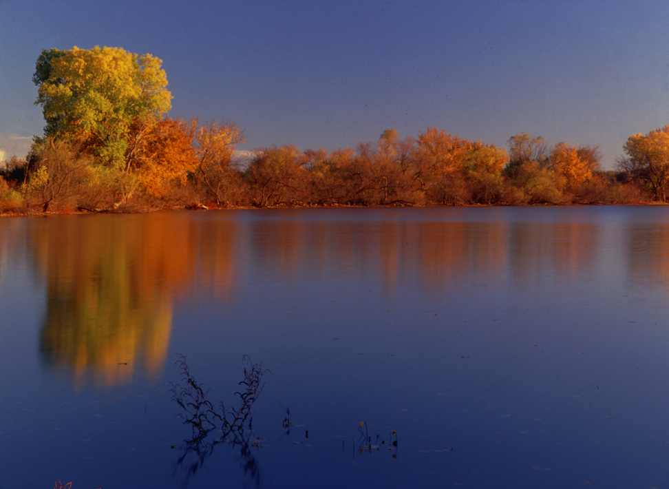
Fall Color 1
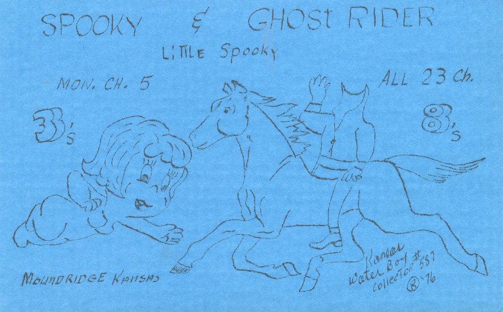
Spooky & Ghost Rider - Moundridge, Kansas
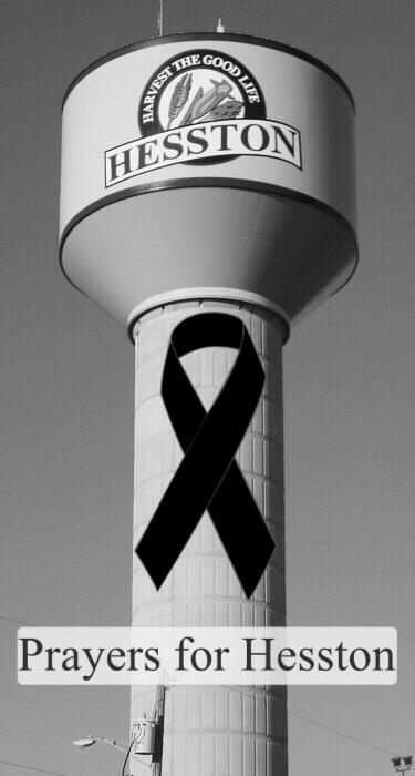
Pray For Hesston

Harvey County West Park_2015_Oct_25_DSC00843-Edit

Harvey County West Park_2015_Oct_25_DSC00851
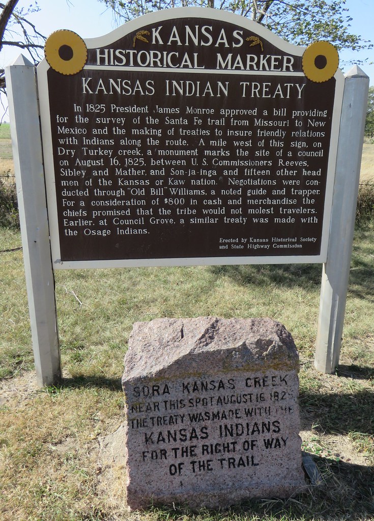
Kansas Indian Treaty Marker and Monument (Elyria, Kansas)
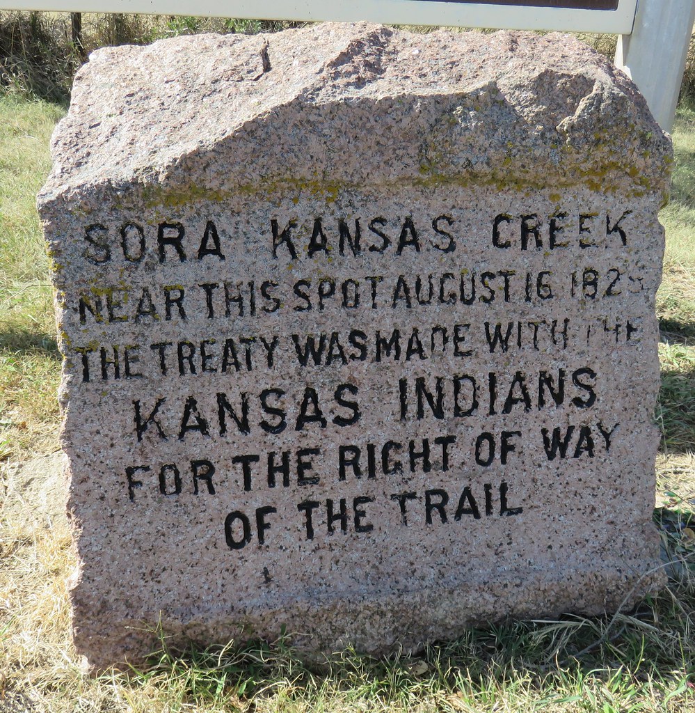
Kansas Indian Treaty Monument (Elyria, Kansas)

Kansas Indian Treaty Marker (Elyria, Kansas)
IMG_0797.jpg
IMG_0788.jpg

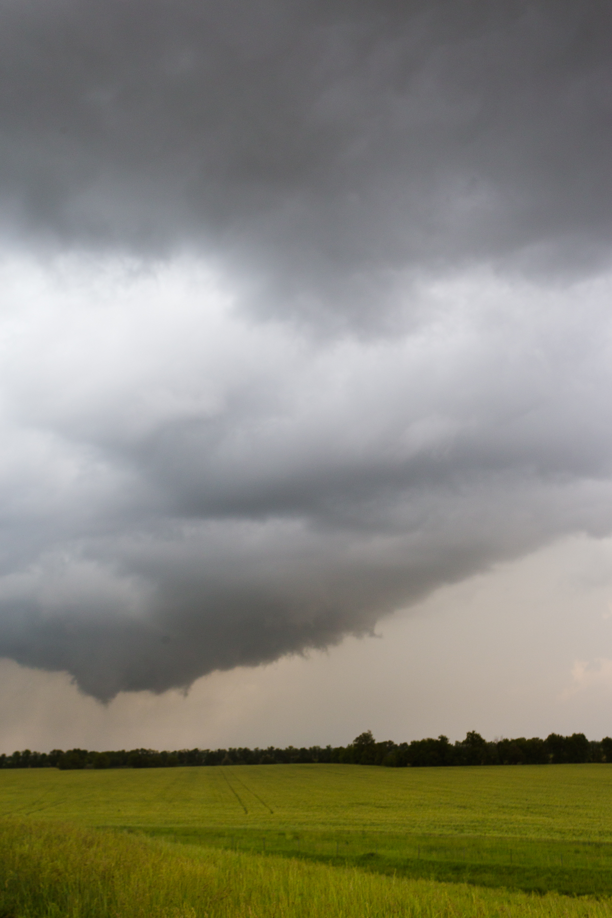
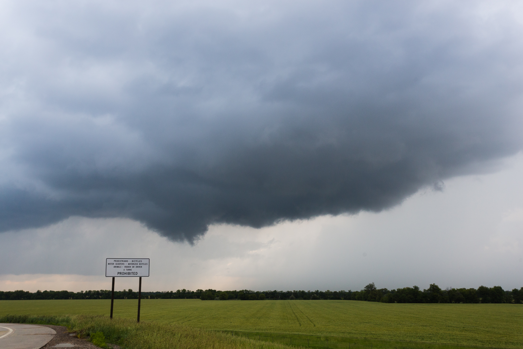
Visitor Meanwhile
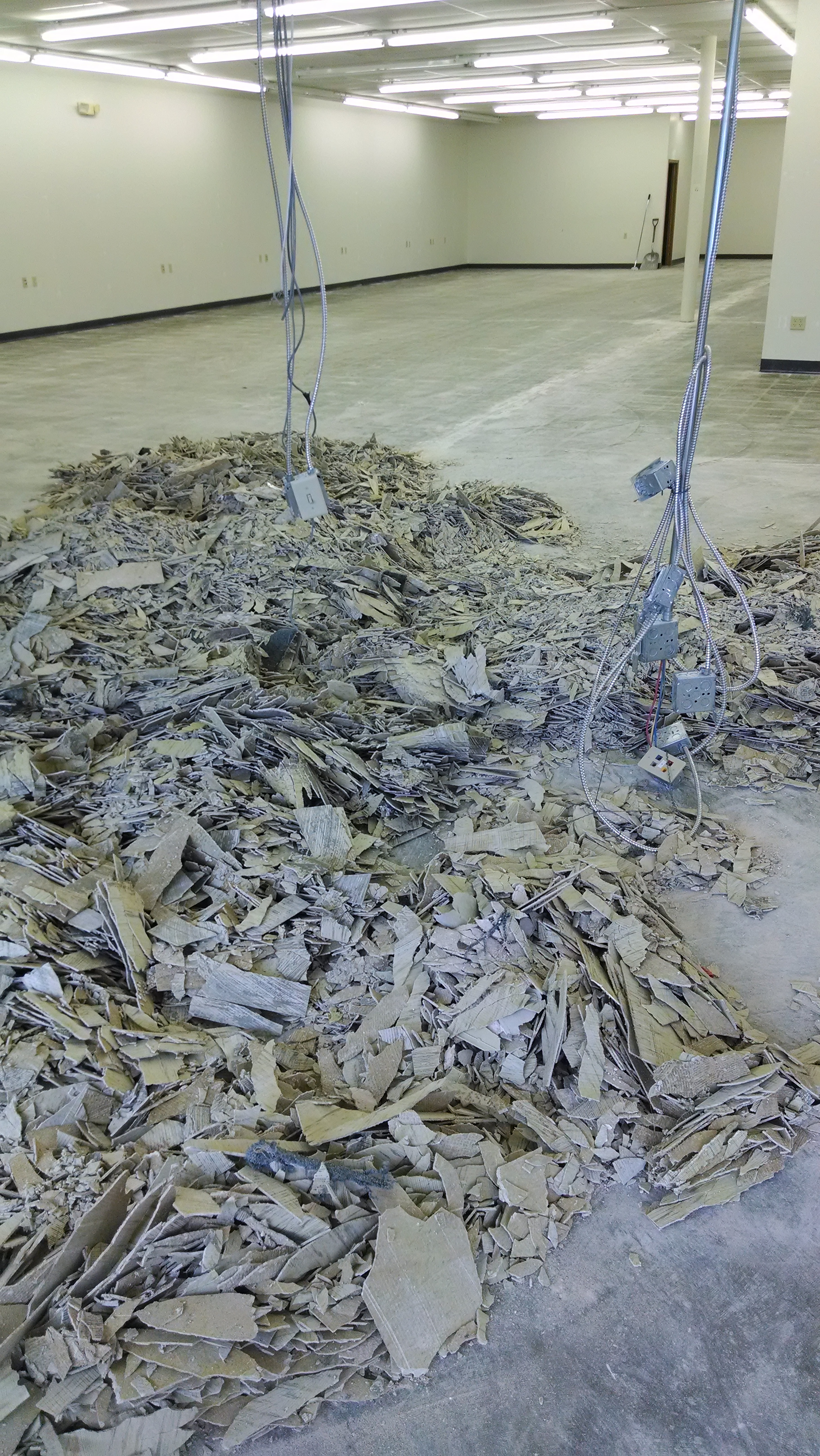
Pile of demolished vct!
Apache Rd, Kansas, アメリカ合衆国Apache Roadの地図
別の場所を検索
近所の場所
アメリカ合衆国 カンザス州 アルタ
アメリカ合衆国 カンザス州 マウンド
アメリカ合衆国 カンザス州 バルトン
アメリカ合衆国 カンザス州 ハルステッド
N Sedgwick Ave, Burrton, KS アメリカ合衆国
アメリカ合衆国 カンザス州 リトル・リバー
アメリカ合衆国 〒 カンザス州 バルトン
アメリカ合衆国 〒 カンザス州 ビューラー
アメリカ合衆国 カンザス州 マクファーソン
アメリカ合衆国 〒 カンザス州 ヘストン
E Kansas Ave, McPherson, KS アメリカ合衆国
College St, Halstead, KS アメリカ合衆国
アメリカ合衆国 〒 カンザス州 ハルステッド
アメリカ合衆国 〒 カンザス州 マクファーソン
Main St, Halstead, KS アメリカ合衆国
Redbud Ct, Halstead, KS アメリカ合衆国
アメリカ合衆国 〒 カンザス州 ギャルバ
アメリカ合衆国 〒 カンザス州 マクファーソン
アメリカ合衆国 カンザス州 メイコン
アメリカ合衆国 カンザス州 エンパイア
最近の検索
- アメリカ合衆国 アラスカ州 レッド・ドッグ・マイン日の出日の入り時間
- Am bhf, Borken, ドイツアム・バーンホーフ日の出日の入り時間
- 4th St E, Sonoma, CA, USA日の出日の入り時間
- Oakland Ave, Williamsport, PA アメリカ合衆国日の出日の入り時間
- Via Roma, Pieranica CR, イタリアローマ通り日の出日の入り時間
- クロアチア 〒 ドゥブロブニク GradClock Tower of Dubrovnik日の出日の入り時間
- アルゼンチン チュブ州 トレリュー日の出日の入り時間
- Hartfords Bluff Cir, Mt Pleasant, SC アメリカ合衆国日の出日の入り時間
- 日本、熊本県熊本市北区日の出日の入り時間
- 中華人民共和国 福州市 平潭県 平潭島日の出日の入り時間