アメリカ合衆国 〒 カリフォルニア州 アンダーソン日の出日の入り時間
Location: アメリカ合衆国 > カリフォルニア州 > テハマ >
時間帯:
America/Los_Angeles
現地時間:
2025-06-28 12:47:19
経度:
-122.2977815
緯度:
40.448208
今日の日の出時刻:
05:42:04 AM
今日の日の入時刻:
08:43:38 PM
今日の日長:
15h 1m 34s
明日の日の出時刻:
05:42:32 AM
明日の日の入時刻:
08:43:33 PM
明日の日長:
15h 1m 1s
すべて表示する
| 日付 | 日出 | 日没 | 日長 |
|---|---|---|---|
| 2025年01月01日 | 07:32:25 AM | 04:54:25 PM | 9h 22m 0s |
| 2025年01月02日 | 07:32:27 AM | 04:55:18 PM | 9h 22m 51s |
| 2025年01月03日 | 07:32:27 AM | 04:56:12 PM | 9h 23m 45s |
| 2025年01月04日 | 07:32:25 AM | 04:57:07 PM | 9h 24m 42s |
| 2025年01月05日 | 07:32:21 AM | 04:58:04 PM | 9h 25m 43s |
| 2025年01月06日 | 07:32:14 AM | 04:59:02 PM | 9h 26m 48s |
| 2025年01月07日 | 07:32:05 AM | 05:00:02 PM | 9h 27m 57s |
| 2025年01月08日 | 07:31:54 AM | 05:01:02 PM | 9h 29m 8s |
| 2025年01月09日 | 07:31:41 AM | 05:02:04 PM | 9h 30m 23s |
| 2025年01月10日 | 07:31:26 AM | 05:03:07 PM | 9h 31m 41s |
| 2025年01月11日 | 07:31:08 AM | 05:04:10 PM | 9h 33m 2s |
| 2025年01月12日 | 07:30:48 AM | 05:05:15 PM | 9h 34m 27s |
| 2025年01月13日 | 07:30:26 AM | 05:06:21 PM | 9h 35m 55s |
| 2025年01月14日 | 07:30:01 AM | 05:07:27 PM | 9h 37m 26s |
| 2025年01月15日 | 07:29:35 AM | 05:08:34 PM | 9h 38m 59s |
| 2025年01月16日 | 07:29:06 AM | 05:09:42 PM | 9h 40m 36s |
| 2025年01月17日 | 07:28:36 AM | 05:10:51 PM | 9h 42m 15s |
| 2025年01月18日 | 07:28:03 AM | 05:12:00 PM | 9h 43m 57s |
| 2025年01月19日 | 07:27:28 AM | 05:13:10 PM | 9h 45m 42s |
| 2025年01月20日 | 07:26:51 AM | 05:14:20 PM | 9h 47m 29s |
| 2025年01月21日 | 07:26:12 AM | 05:15:31 PM | 9h 49m 19s |
| 2025年01月22日 | 07:25:31 AM | 05:16:43 PM | 9h 51m 12s |
| 2025年01月23日 | 07:24:48 AM | 05:17:54 PM | 9h 53m 6s |
| 2025年01月24日 | 07:24:03 AM | 05:19:06 PM | 9h 55m 3s |
| 2025年01月25日 | 07:23:17 AM | 05:20:19 PM | 9h 57m 2s |
| 2025年01月26日 | 07:22:28 AM | 05:21:31 PM | 9h 59m 3s |
| 2025年01月27日 | 07:21:38 AM | 05:22:44 PM | 10h 1m 6s |
| 2025年01月28日 | 07:20:45 AM | 05:23:57 PM | 10h 3m 12s |
| 2025年01月29日 | 07:19:51 AM | 05:25:10 PM | 10h 5m 19s |
| 2025年01月30日 | 07:18:56 AM | 05:26:24 PM | 10h 7m 28s |
| 2025年01月31日 | 07:17:58 AM | 05:27:37 PM | 10h 9m 39s |
| 2025年02月01日 | 07:16:59 AM | 05:28:50 PM | 10h 11m 51s |
| 2025年02月02日 | 07:15:58 AM | 05:30:04 PM | 10h 14m 6s |
| 2025年02月03日 | 07:14:56 AM | 05:31:17 PM | 10h 16m 21s |
| 2025年02月04日 | 07:13:52 AM | 05:32:30 PM | 10h 18m 38s |
| 2025年02月05日 | 07:12:47 AM | 05:33:44 PM | 10h 20m 57s |
| 2025年02月06日 | 07:11:40 AM | 05:34:57 PM | 10h 23m 17s |
| 2025年02月07日 | 07:10:31 AM | 05:36:10 PM | 10h 25m 39s |
| 2025年02月08日 | 07:09:21 AM | 05:37:23 PM | 10h 28m 2s |
| 2025年02月09日 | 07:08:10 AM | 05:38:35 PM | 10h 30m 25s |
| 2025年02月10日 | 07:06:58 AM | 05:39:48 PM | 10h 32m 50s |
| 2025年02月11日 | 07:05:44 AM | 05:41:00 PM | 10h 35m 16s |
| 2025年02月12日 | 07:04:28 AM | 05:42:12 PM | 10h 37m 44s |
| 2025年02月13日 | 07:03:12 AM | 05:43:24 PM | 10h 40m 12s |
| 2025年02月14日 | 07:01:54 AM | 05:44:36 PM | 10h 42m 42s |
| 2025年02月15日 | 07:00:36 AM | 05:45:47 PM | 10h 45m 11s |
| 2025年02月16日 | 06:59:16 AM | 05:46:58 PM | 10h 47m 42s |
| 2025年02月17日 | 06:57:54 AM | 05:48:09 PM | 10h 50m 15s |
| 2025年02月18日 | 06:56:32 AM | 05:49:20 PM | 10h 52m 48s |
| 2025年02月19日 | 06:55:09 AM | 05:50:30 PM | 10h 55m 21s |
| 2025年02月20日 | 06:53:45 AM | 05:51:40 PM | 10h 57m 55s |
| 2025年02月21日 | 06:52:20 AM | 05:52:50 PM | 11h 0m 30s |
| 2025年02月22日 | 06:50:54 AM | 05:53:59 PM | 11h 3m 5s |
| 2025年02月23日 | 06:49:27 AM | 05:55:08 PM | 11h 5m 41s |
| 2025年02月24日 | 06:47:59 AM | 05:56:17 PM | 11h 8m 18s |
| 2025年02月25日 | 06:46:30 AM | 05:57:26 PM | 11h 10m 56s |
| 2025年02月26日 | 06:45:01 AM | 05:58:34 PM | 11h 13m 33s |
| 2025年02月27日 | 06:43:31 AM | 05:59:42 PM | 11h 16m 11s |
| 2025年02月28日 | 06:42:00 AM | 06:00:49 PM | 11h 18m 49s |
| 2025年03月01日 | 06:40:28 AM | 06:01:57 PM | 11h 21m 29s |
| 2025年03月02日 | 06:38:56 AM | 06:03:04 PM | 11h 24m 8s |
| 2025年03月03日 | 06:37:23 AM | 06:04:10 PM | 11h 26m 47s |
| 2025年03月04日 | 06:35:49 AM | 06:05:17 PM | 11h 29m 28s |
| 2025年03月05日 | 06:34:15 AM | 06:06:23 PM | 11h 32m 8s |
| 2025年03月06日 | 06:32:41 AM | 06:07:29 PM | 11h 34m 48s |
| 2025年03月07日 | 06:31:06 AM | 06:08:34 PM | 11h 37m 28s |
| 2025年03月08日 | 06:29:30 AM | 06:09:40 PM | 11h 40m 10s |
| 2025年03月09日 | 07:27:58 AM | 07:10:42 PM | 11h 42m 44s |
| 2025年03月10日 | 07:26:22 AM | 07:11:47 PM | 11h 45m 25s |
| 2025年03月11日 | 07:24:45 AM | 07:12:52 PM | 11h 48m 7s |
| 2025年03月12日 | 07:23:08 AM | 07:13:56 PM | 11h 50m 48s |
| 2025年03月13日 | 07:21:31 AM | 07:15:00 PM | 11h 53m 29s |
| 2025年03月14日 | 07:19:53 AM | 07:16:04 PM | 11h 56m 11s |
| 2025年03月15日 | 07:18:15 AM | 07:17:08 PM | 11h 58m 53s |
| 2025年03月16日 | 07:16:37 AM | 07:18:12 PM | 12h 1m 35s |
| 2025年03月17日 | 07:14:59 AM | 07:19:15 PM | 12h 4m 16s |
| 2025年03月18日 | 07:13:20 AM | 07:20:19 PM | 12h 6m 59s |
| 2025年03月19日 | 07:11:42 AM | 07:21:22 PM | 12h 9m 40s |
| 2025年03月20日 | 07:10:03 AM | 07:22:25 PM | 12h 12m 22s |
| 2025年03月21日 | 07:08:24 AM | 07:23:28 PM | 12h 15m 4s |
| 2025年03月22日 | 07:06:46 AM | 07:24:30 PM | 12h 17m 44s |
| 2025年03月23日 | 07:05:07 AM | 07:25:33 PM | 12h 20m 26s |
| 2025年03月24日 | 07:03:28 AM | 07:26:36 PM | 12h 23m 8s |
| 2025年03月25日 | 07:01:49 AM | 07:27:38 PM | 12h 25m 49s |
| 2025年03月26日 | 07:00:11 AM | 07:28:40 PM | 12h 28m 29s |
| 2025年03月27日 | 06:58:32 AM | 07:29:43 PM | 12h 31m 11s |
| 2025年03月28日 | 06:56:54 AM | 07:30:45 PM | 12h 33m 51s |
| 2025年03月29日 | 06:55:16 AM | 07:31:47 PM | 12h 36m 31s |
| 2025年03月30日 | 06:53:38 AM | 07:32:49 PM | 12h 39m 11s |
| 2025年03月31日 | 06:52:00 AM | 07:33:51 PM | 12h 41m 51s |
| 2025年04月01日 | 06:50:23 AM | 07:34:53 PM | 12h 44m 30s |
| 2025年04月02日 | 06:48:46 AM | 07:35:55 PM | 12h 47m 9s |
| 2025年04月03日 | 06:47:09 AM | 07:36:57 PM | 12h 49m 48s |
| 2025年04月04日 | 06:45:33 AM | 07:37:59 PM | 12h 52m 26s |
| 2025年04月05日 | 06:43:57 AM | 07:39:01 PM | 12h 55m 4s |
| 2025年04月06日 | 06:42:21 AM | 07:40:03 PM | 12h 57m 42s |
| 2025年04月07日 | 06:40:46 AM | 07:41:05 PM | 13h 0m 19s |
| 2025年04月08日 | 06:39:12 AM | 07:42:07 PM | 13h 2m 55s |
| 2025年04月09日 | 06:37:37 AM | 07:43:09 PM | 13h 5m 32s |
| 2025年04月10日 | 06:36:04 AM | 07:44:11 PM | 13h 8m 7s |
| 2025年04月11日 | 06:34:31 AM | 07:45:13 PM | 13h 10m 42s |
| 2025年04月12日 | 06:32:59 AM | 07:46:15 PM | 13h 13m 16s |
| 2025年04月13日 | 06:31:27 AM | 07:47:18 PM | 13h 15m 51s |
| 2025年04月14日 | 06:29:56 AM | 07:48:20 PM | 13h 18m 24s |
| 2025年04月15日 | 06:28:25 AM | 07:49:22 PM | 13h 20m 57s |
| 2025年04月16日 | 06:26:56 AM | 07:50:24 PM | 13h 23m 28s |
| 2025年04月17日 | 06:25:27 AM | 07:51:26 PM | 13h 25m 59s |
| 2025年04月18日 | 06:23:59 AM | 07:52:28 PM | 13h 28m 29s |
| 2025年04月19日 | 06:22:32 AM | 07:53:31 PM | 13h 30m 59s |
| 2025年04月20日 | 06:21:05 AM | 07:54:33 PM | 13h 33m 28s |
| 2025年04月21日 | 06:19:40 AM | 07:55:35 PM | 13h 35m 55s |
| 2025年04月22日 | 06:18:15 AM | 07:56:37 PM | 13h 38m 22s |
| 2025年04月23日 | 06:16:52 AM | 07:57:39 PM | 13h 40m 47s |
| 2025年04月24日 | 06:15:29 AM | 07:58:41 PM | 13h 43m 12s |
| 2025年04月25日 | 06:14:08 AM | 07:59:44 PM | 13h 45m 36s |
| 2025年04月26日 | 06:12:47 AM | 08:00:46 PM | 13h 47m 59s |
| 2025年04月27日 | 06:11:28 AM | 08:01:48 PM | 13h 50m 20s |
| 2025年04月28日 | 06:10:09 AM | 08:02:49 PM | 13h 52m 40s |
| 2025年04月29日 | 06:08:52 AM | 08:03:51 PM | 13h 54m 59s |
| 2025年04月30日 | 06:07:36 AM | 08:04:53 PM | 13h 57m 17s |
| 2025年05月01日 | 06:06:22 AM | 08:05:54 PM | 13h 59m 32s |
| 2025年05月02日 | 06:05:08 AM | 08:06:56 PM | 14h 1m 48s |
| 2025年05月03日 | 06:03:56 AM | 08:07:57 PM | 14h 4m 1s |
| 2025年05月04日 | 06:02:45 AM | 08:08:58 PM | 14h 6m 13s |
| 2025年05月05日 | 06:01:35 AM | 08:09:59 PM | 14h 8m 24s |
| 2025年05月06日 | 06:00:27 AM | 08:11:00 PM | 14h 10m 33s |
| 2025年05月07日 | 05:59:20 AM | 08:12:00 PM | 14h 12m 40s |
| 2025年05月08日 | 05:58:15 AM | 08:13:00 PM | 14h 14m 45s |
| 2025年05月09日 | 05:57:11 AM | 08:14:00 PM | 14h 16m 49s |
| 2025年05月10日 | 05:56:08 AM | 08:14:59 PM | 14h 18m 51s |
| 2025年05月11日 | 05:55:07 AM | 08:15:58 PM | 14h 20m 51s |
| 2025年05月12日 | 05:54:08 AM | 08:16:57 PM | 14h 22m 49s |
| 2025年05月13日 | 05:53:10 AM | 08:17:55 PM | 14h 24m 45s |
| 2025年05月14日 | 05:52:14 AM | 08:18:53 PM | 14h 26m 39s |
| 2025年05月15日 | 05:51:19 AM | 08:19:50 PM | 14h 28m 31s |
| 2025年05月16日 | 05:50:26 AM | 08:20:47 PM | 14h 30m 21s |
| 2025年05月17日 | 05:49:35 AM | 08:21:43 PM | 14h 32m 8s |
| 2025年05月18日 | 05:48:45 AM | 08:22:38 PM | 14h 33m 53s |
| 2025年05月19日 | 05:47:58 AM | 08:23:33 PM | 14h 35m 35s |
| 2025年05月20日 | 05:47:12 AM | 08:24:27 PM | 14h 37m 15s |
| 2025年05月21日 | 05:46:27 AM | 08:25:21 PM | 14h 38m 54s |
| 2025年05月22日 | 05:45:45 AM | 08:26:13 PM | 14h 40m 28s |
| 2025年05月23日 | 05:45:04 AM | 08:27:05 PM | 14h 42m 1s |
| 2025年05月24日 | 05:44:25 AM | 08:27:56 PM | 14h 43m 31s |
| 2025年05月25日 | 05:43:48 AM | 08:28:47 PM | 14h 44m 59s |
| 2025年05月26日 | 05:43:13 AM | 08:29:36 PM | 14h 46m 23s |
| 2025年05月27日 | 05:42:40 AM | 08:30:24 PM | 14h 47m 44s |
| 2025年05月28日 | 05:42:09 AM | 08:31:11 PM | 14h 49m 2s |
| 2025年05月29日 | 05:41:39 AM | 08:31:57 PM | 14h 50m 18s |
| 2025年05月30日 | 05:41:12 AM | 08:32:43 PM | 14h 51m 31s |
| 2025年05月31日 | 05:40:46 AM | 08:33:27 PM | 14h 52m 41s |
| 2025年06月01日 | 05:40:23 AM | 08:34:09 PM | 14h 53m 46s |
| 2025年06月02日 | 05:40:01 AM | 08:34:51 PM | 14h 54m 50s |
| 2025年06月03日 | 05:39:41 AM | 08:35:31 PM | 14h 55m 50s |
| 2025年06月04日 | 05:39:24 AM | 08:36:10 PM | 14h 56m 46s |
| 2025年06月05日 | 05:39:08 AM | 08:36:48 PM | 14h 57m 40s |
| 2025年06月06日 | 05:38:54 AM | 08:37:24 PM | 14h 58m 30s |
| 2025年06月07日 | 05:38:42 AM | 08:37:59 PM | 14h 59m 17s |
| 2025年06月08日 | 05:38:33 AM | 08:38:32 PM | 14h 59m 59s |
| 2025年06月09日 | 05:38:25 AM | 08:39:04 PM | 15h 0m 39s |
| 2025年06月10日 | 05:38:19 AM | 08:39:34 PM | 15h 1m 15s |
| 2025年06月11日 | 05:38:15 AM | 08:40:03 PM | 15h 1m 48s |
| 2025年06月12日 | 05:38:13 AM | 08:40:30 PM | 15h 2m 17s |
| 2025年06月13日 | 05:38:13 AM | 08:40:55 PM | 15h 2m 42s |
| 2025年06月14日 | 05:38:15 AM | 08:41:19 PM | 15h 3m 4s |
| 2025年06月15日 | 05:38:19 AM | 08:41:41 PM | 15h 3m 22s |
| 2025年06月16日 | 05:38:25 AM | 08:42:02 PM | 15h 3m 37s |
| 2025年06月17日 | 05:38:32 AM | 08:42:20 PM | 15h 3m 48s |
| 2025年06月18日 | 05:38:42 AM | 08:42:37 PM | 15h 3m 55s |
| 2025年06月19日 | 05:38:53 AM | 08:42:52 PM | 15h 3m 59s |
| 2025年06月20日 | 05:39:06 AM | 08:43:05 PM | 15h 3m 59s |
| 2025年06月21日 | 05:39:21 AM | 08:43:16 PM | 15h 3m 55s |
| 2025年06月22日 | 05:39:38 AM | 08:43:25 PM | 15h 3m 47s |
| 2025年06月23日 | 05:39:56 AM | 08:43:32 PM | 15h 3m 36s |
| 2025年06月24日 | 05:40:16 AM | 08:43:38 PM | 15h 3m 22s |
| 2025年06月25日 | 05:40:38 AM | 08:43:41 PM | 15h 3m 3s |
| 2025年06月26日 | 05:41:02 AM | 08:43:42 PM | 15h 2m 40s |
| 2025年06月27日 | 05:41:27 AM | 08:43:42 PM | 15h 2m 15s |
| 2025年06月28日 | 05:41:53 AM | 08:43:39 PM | 15h 1m 46s |
| 2025年06月29日 | 05:42:21 AM | 08:43:35 PM | 15h 1m 14s |
| 2025年06月30日 | 05:42:51 AM | 08:43:28 PM | 15h 0m 37s |
| 2025年07月01日 | 05:43:22 AM | 08:43:20 PM | 14h 59m 58s |
| 2025年07月02日 | 05:43:55 AM | 08:43:09 PM | 14h 59m 14s |
| 2025年07月03日 | 05:44:29 AM | 08:42:57 PM | 14h 58m 28s |
| 2025年07月04日 | 05:45:04 AM | 08:42:42 PM | 14h 57m 38s |
| 2025年07月05日 | 05:45:41 AM | 08:42:25 PM | 14h 56m 44s |
| 2025年07月06日 | 05:46:19 AM | 08:42:07 PM | 14h 55m 48s |
| 2025年07月07日 | 05:46:58 AM | 08:41:46 PM | 14h 54m 48s |
| 2025年07月08日 | 05:47:38 AM | 08:41:23 PM | 14h 53m 45s |
| 2025年07月09日 | 05:48:19 AM | 08:40:59 PM | 14h 52m 40s |
| 2025年07月10日 | 05:49:02 AM | 08:40:32 PM | 14h 51m 30s |
| 2025年07月11日 | 05:49:46 AM | 08:40:04 PM | 14h 50m 18s |
| 2025年07月12日 | 05:50:30 AM | 08:39:33 PM | 14h 49m 3s |
| 2025年07月13日 | 05:51:16 AM | 08:39:01 PM | 14h 47m 45s |
| 2025年07月14日 | 05:52:02 AM | 08:38:26 PM | 14h 46m 24s |
| 2025年07月15日 | 05:52:50 AM | 08:37:50 PM | 14h 45m 0s |
| 2025年07月16日 | 05:53:38 AM | 08:37:11 PM | 14h 43m 33s |
| 2025年07月17日 | 05:54:27 AM | 08:36:31 PM | 14h 42m 4s |
| 2025年07月18日 | 05:55:17 AM | 08:35:49 PM | 14h 40m 32s |
| 2025年07月19日 | 05:56:07 AM | 08:35:06 PM | 14h 38m 59s |
| 2025年07月20日 | 05:56:59 AM | 08:34:20 PM | 14h 37m 21s |
| 2025年07月21日 | 05:57:51 AM | 08:33:32 PM | 14h 35m 41s |
| 2025年07月22日 | 05:58:43 AM | 08:32:43 PM | 14h 34m 0s |
| 2025年07月23日 | 05:59:36 AM | 08:31:52 PM | 14h 32m 16s |
| 2025年07月24日 | 06:00:30 AM | 08:31:00 PM | 14h 30m 30s |
| 2025年07月25日 | 06:01:24 AM | 08:30:05 PM | 14h 28m 41s |
| 2025年07月26日 | 06:02:19 AM | 08:29:09 PM | 14h 26m 50s |
| 2025年07月27日 | 06:03:14 AM | 08:28:11 PM | 14h 24m 57s |
| 2025年07月28日 | 06:04:09 AM | 08:27:12 PM | 14h 23m 3s |
| 2025年07月29日 | 06:05:05 AM | 08:26:11 PM | 14h 21m 6s |
| 2025年07月30日 | 06:06:01 AM | 08:25:09 PM | 14h 19m 8s |
| 2025年07月31日 | 06:06:57 AM | 08:24:05 PM | 14h 17m 8s |
| 2025年08月01日 | 06:07:54 AM | 08:22:59 PM | 14h 15m 5s |
| 2025年08月02日 | 06:08:51 AM | 08:21:53 PM | 14h 13m 2s |
| 2025年08月03日 | 06:09:48 AM | 08:20:44 PM | 14h 10m 56s |
| 2025年08月04日 | 06:10:46 AM | 08:19:34 PM | 14h 8m 48s |
| 2025年08月05日 | 06:11:43 AM | 08:18:23 PM | 14h 6m 40s |
| 2025年08月06日 | 06:12:41 AM | 08:17:11 PM | 14h 4m 30s |
| 2025年08月07日 | 06:13:39 AM | 08:15:57 PM | 14h 2m 18s |
| 2025年08月08日 | 06:14:37 AM | 08:14:42 PM | 14h 0m 5s |
| 2025年08月09日 | 06:15:35 AM | 08:13:26 PM | 13h 57m 51s |
| 2025年08月10日 | 06:16:33 AM | 08:12:08 PM | 13h 55m 35s |
| 2025年08月11日 | 06:17:31 AM | 08:10:49 PM | 13h 53m 18s |
| 2025年08月12日 | 06:18:30 AM | 08:09:29 PM | 13h 50m 59s |
| 2025年08月13日 | 06:19:28 AM | 08:08:08 PM | 13h 48m 40s |
| 2025年08月14日 | 06:20:26 AM | 08:06:46 PM | 13h 46m 20s |
| 2025年08月15日 | 06:21:25 AM | 08:05:23 PM | 13h 43m 58s |
| 2025年08月16日 | 06:22:23 AM | 08:03:59 PM | 13h 41m 36s |
| 2025年08月17日 | 06:23:22 AM | 08:02:34 PM | 13h 39m 12s |
| 2025年08月18日 | 06:24:20 AM | 08:01:08 PM | 13h 36m 48s |
| 2025年08月19日 | 06:25:18 AM | 07:59:40 PM | 13h 34m 22s |
| 2025年08月20日 | 06:26:16 AM | 07:58:12 PM | 13h 31m 56s |
| 2025年08月21日 | 06:27:15 AM | 07:56:44 PM | 13h 29m 29s |
| 2025年08月22日 | 06:28:13 AM | 07:55:14 PM | 13h 27m 1s |
| 2025年08月23日 | 06:29:11 AM | 07:53:43 PM | 13h 24m 32s |
| 2025年08月24日 | 06:30:09 AM | 07:52:12 PM | 13h 22m 3s |
| 2025年08月25日 | 06:31:07 AM | 07:50:40 PM | 13h 19m 33s |
| 2025年08月26日 | 06:32:05 AM | 07:49:07 PM | 13h 17m 2s |
| 2025年08月27日 | 06:33:03 AM | 07:47:34 PM | 13h 14m 31s |
| 2025年08月28日 | 06:34:01 AM | 07:46:00 PM | 13h 11m 59s |
| 2025年08月29日 | 06:34:59 AM | 07:44:25 PM | 13h 9m 26s |
| 2025年08月30日 | 06:35:56 AM | 07:42:50 PM | 13h 6m 54s |
| 2025年08月31日 | 06:36:54 AM | 07:41:14 PM | 13h 4m 20s |
| 2025年09月01日 | 06:37:52 AM | 07:39:37 PM | 13h 1m 45s |
| 2025年09月02日 | 06:38:50 AM | 07:38:01 PM | 12h 59m 11s |
| 2025年09月03日 | 06:39:47 AM | 07:36:23 PM | 12h 56m 36s |
| 2025年09月04日 | 06:40:45 AM | 07:34:45 PM | 12h 54m 0s |
| 2025年09月05日 | 06:41:42 AM | 07:33:07 PM | 12h 51m 25s |
| 2025年09月06日 | 06:42:40 AM | 07:31:29 PM | 12h 48m 49s |
| 2025年09月07日 | 06:43:37 AM | 07:29:50 PM | 12h 46m 13s |
| 2025年09月08日 | 06:44:35 AM | 07:28:10 PM | 12h 43m 35s |
| 2025年09月09日 | 06:45:33 AM | 07:26:31 PM | 12h 40m 58s |
| 2025年09月10日 | 06:46:30 AM | 07:24:51 PM | 12h 38m 21s |
| 2025年09月11日 | 06:47:28 AM | 07:23:11 PM | 12h 35m 43s |
| 2025年09月12日 | 06:48:25 AM | 07:21:31 PM | 12h 33m 6s |
| 2025年09月13日 | 06:49:23 AM | 07:19:50 PM | 12h 30m 27s |
| 2025年09月14日 | 06:50:21 AM | 07:18:10 PM | 12h 27m 49s |
| 2025年09月15日 | 06:51:19 AM | 07:16:29 PM | 12h 25m 10s |
| 2025年09月16日 | 06:52:17 AM | 07:14:48 PM | 12h 22m 31s |
| 2025年09月17日 | 06:53:15 AM | 07:13:07 PM | 12h 19m 52s |
| 2025年09月18日 | 06:54:13 AM | 07:11:26 PM | 12h 17m 13s |
| 2025年09月19日 | 06:55:11 AM | 07:09:45 PM | 12h 14m 34s |
| 2025年09月20日 | 06:56:09 AM | 07:08:05 PM | 12h 11m 56s |
| 2025年09月21日 | 06:57:07 AM | 07:06:24 PM | 12h 9m 17s |
| 2025年09月22日 | 06:58:06 AM | 07:04:43 PM | 12h 6m 37s |
| 2025年09月23日 | 06:59:05 AM | 07:03:03 PM | 12h 3m 58s |
| 2025年09月24日 | 07:00:04 AM | 07:01:22 PM | 12h 1m 18s |
| 2025年09月25日 | 07:01:03 AM | 06:59:42 PM | 11h 58m 39s |
| 2025年09月26日 | 07:02:02 AM | 06:58:02 PM | 11h 56m 0s |
| 2025年09月27日 | 07:03:01 AM | 06:56:22 PM | 11h 53m 21s |
| 2025年09月28日 | 07:04:01 AM | 06:54:43 PM | 11h 50m 42s |
| 2025年09月29日 | 07:05:01 AM | 06:53:04 PM | 11h 48m 3s |
| 2025年09月30日 | 07:06:01 AM | 06:51:25 PM | 11h 45m 24s |
| 2025年10月01日 | 07:07:01 AM | 06:49:46 PM | 11h 42m 45s |
| 2025年10月02日 | 07:08:02 AM | 06:48:08 PM | 11h 40m 6s |
| 2025年10月03日 | 07:09:03 AM | 06:46:31 PM | 11h 37m 28s |
| 2025年10月04日 | 07:10:04 AM | 06:44:53 PM | 11h 34m 49s |
| 2025年10月05日 | 07:11:05 AM | 06:43:17 PM | 11h 32m 12s |
| 2025年10月06日 | 07:12:07 AM | 06:41:40 PM | 11h 29m 33s |
| 2025年10月07日 | 07:13:09 AM | 06:40:05 PM | 11h 26m 56s |
| 2025年10月08日 | 07:14:11 AM | 06:38:30 PM | 11h 24m 19s |
| 2025年10月09日 | 07:15:14 AM | 06:36:55 PM | 11h 21m 41s |
| 2025年10月10日 | 07:16:16 AM | 06:35:21 PM | 11h 19m 5s |
| 2025年10月11日 | 07:17:20 AM | 06:33:48 PM | 11h 16m 28s |
| 2025年10月12日 | 07:18:23 AM | 06:32:16 PM | 11h 13m 53s |
| 2025年10月13日 | 07:19:27 AM | 06:30:44 PM | 11h 11m 17s |
| 2025年10月14日 | 07:20:31 AM | 06:29:13 PM | 11h 8m 42s |
| 2025年10月15日 | 07:21:36 AM | 06:27:43 PM | 11h 6m 7s |
| 2025年10月16日 | 07:22:40 AM | 06:26:14 PM | 11h 3m 34s |
| 2025年10月17日 | 07:23:45 AM | 06:24:46 PM | 11h 1m 1s |
| 2025年10月18日 | 07:24:51 AM | 06:23:19 PM | 10h 58m 28s |
| 2025年10月19日 | 07:25:57 AM | 06:21:52 PM | 10h 55m 55s |
| 2025年10月20日 | 07:27:03 AM | 06:20:27 PM | 10h 53m 24s |
| 2025年10月21日 | 07:28:09 AM | 06:19:02 PM | 10h 50m 53s |
| 2025年10月22日 | 07:29:16 AM | 06:17:39 PM | 10h 48m 23s |
| 2025年10月23日 | 07:30:23 AM | 06:16:16 PM | 10h 45m 53s |
| 2025年10月24日 | 07:31:30 AM | 06:14:55 PM | 10h 43m 25s |
| 2025年10月25日 | 07:32:38 AM | 06:13:35 PM | 10h 40m 57s |
| 2025年10月26日 | 07:33:46 AM | 06:12:16 PM | 10h 38m 30s |
| 2025年10月27日 | 07:34:54 AM | 06:10:59 PM | 10h 36m 5s |
| 2025年10月28日 | 07:36:02 AM | 06:09:42 PM | 10h 33m 40s |
| 2025年10月29日 | 07:37:11 AM | 06:08:27 PM | 10h 31m 16s |
| 2025年10月30日 | 07:38:20 AM | 06:07:14 PM | 10h 28m 54s |
| 2025年10月31日 | 07:39:29 AM | 06:06:01 PM | 10h 26m 32s |
| 2025年11月01日 | 07:40:39 AM | 06:04:50 PM | 10h 24m 11s |
| 2025年11月02日 | 06:41:51 AM | 05:03:38 PM | 10h 21m 47s |
| 2025年11月03日 | 06:43:01 AM | 05:02:30 PM | 10h 19m 29s |
| 2025年11月04日 | 06:44:11 AM | 05:01:24 PM | 10h 17m 13s |
| 2025年11月05日 | 06:45:21 AM | 05:00:19 PM | 10h 14m 58s |
| 2025年11月06日 | 06:46:31 AM | 04:59:16 PM | 10h 12m 45s |
| 2025年11月07日 | 06:47:41 AM | 04:58:14 PM | 10h 10m 33s |
| 2025年11月08日 | 06:48:51 AM | 04:57:14 PM | 10h 8m 23s |
| 2025年11月09日 | 06:50:01 AM | 04:56:16 PM | 10h 6m 15s |
| 2025年11月10日 | 06:51:11 AM | 04:55:19 PM | 10h 4m 8s |
| 2025年11月11日 | 06:52:21 AM | 04:54:24 PM | 10h 2m 3s |
| 2025年11月12日 | 06:53:31 AM | 04:53:31 PM | 10h 0m 0s |
| 2025年11月13日 | 06:54:41 AM | 04:52:40 PM | 9h 57m 59s |
| 2025年11月14日 | 06:55:50 AM | 04:51:51 PM | 9h 56m 1s |
| 2025年11月15日 | 06:57:00 AM | 04:51:03 PM | 9h 54m 3s |
| 2025年11月16日 | 06:58:09 AM | 04:50:18 PM | 9h 52m 9s |
| 2025年11月17日 | 06:59:18 AM | 04:49:34 PM | 9h 50m 16s |
| 2025年11月18日 | 07:00:27 AM | 04:48:52 PM | 9h 48m 25s |
| 2025年11月19日 | 07:01:35 AM | 04:48:13 PM | 9h 46m 38s |
| 2025年11月20日 | 07:02:42 AM | 04:47:35 PM | 9h 44m 53s |
| 2025年11月21日 | 07:03:50 AM | 04:47:00 PM | 9h 43m 10s |
| 2025年11月22日 | 07:04:56 AM | 04:46:27 PM | 9h 41m 31s |
| 2025年11月23日 | 07:06:03 AM | 04:45:55 PM | 9h 39m 52s |
| 2025年11月24日 | 07:07:08 AM | 04:45:26 PM | 9h 38m 18s |
| 2025年11月25日 | 07:08:13 AM | 04:44:59 PM | 9h 36m 46s |
| 2025年11月26日 | 07:09:17 AM | 04:44:35 PM | 9h 35m 18s |
| 2025年11月27日 | 07:10:21 AM | 04:44:12 PM | 9h 33m 51s |
| 2025年11月28日 | 07:11:23 AM | 04:43:52 PM | 9h 32m 29s |
| 2025年11月29日 | 07:12:25 AM | 04:43:34 PM | 9h 31m 9s |
| 2025年11月30日 | 07:13:25 AM | 04:43:18 PM | 9h 29m 53s |
| 2025年12月01日 | 07:14:25 AM | 04:43:04 PM | 9h 28m 39s |
| 2025年12月02日 | 07:15:24 AM | 04:42:53 PM | 9h 27m 29s |
| 2025年12月03日 | 07:16:21 AM | 04:42:44 PM | 9h 26m 23s |
| 2025年12月04日 | 07:17:18 AM | 04:42:37 PM | 9h 25m 19s |
| 2025年12月05日 | 07:18:13 AM | 04:42:33 PM | 9h 24m 20s |
| 2025年12月06日 | 07:19:07 AM | 04:42:30 PM | 9h 23m 23s |
| 2025年12月07日 | 07:19:59 AM | 04:42:31 PM | 9h 22m 32s |
| 2025年12月08日 | 07:20:50 AM | 04:42:33 PM | 9h 21m 43s |
| 2025年12月09日 | 07:21:40 AM | 04:42:38 PM | 9h 20m 58s |
| 2025年12月10日 | 07:22:28 AM | 04:42:45 PM | 9h 20m 17s |
| 2025年12月11日 | 07:23:15 AM | 04:42:54 PM | 9h 19m 39s |
| 2025年12月12日 | 07:24:00 AM | 04:43:06 PM | 9h 19m 6s |
| 2025年12月13日 | 07:24:44 AM | 04:43:19 PM | 9h 18m 35s |
| 2025年12月14日 | 07:25:25 AM | 04:43:35 PM | 9h 18m 10s |
| 2025年12月15日 | 07:26:05 AM | 04:43:54 PM | 9h 17m 49s |
| 2025年12月16日 | 07:26:44 AM | 04:44:14 PM | 9h 17m 30s |
| 2025年12月17日 | 07:27:20 AM | 04:44:37 PM | 9h 17m 17s |
| 2025年12月18日 | 07:27:55 AM | 04:45:01 PM | 9h 17m 6s |
| 2025年12月19日 | 07:28:27 AM | 04:45:28 PM | 9h 17m 1s |
| 2025年12月20日 | 07:28:58 AM | 04:45:57 PM | 9h 16m 59s |
| 2025年12月21日 | 07:29:27 AM | 04:46:28 PM | 9h 17m 1s |
| 2025年12月22日 | 07:29:53 AM | 04:47:01 PM | 9h 17m 8s |
| 2025年12月23日 | 07:30:18 AM | 04:47:36 PM | 9h 17m 18s |
| 2025年12月24日 | 07:30:41 AM | 04:48:13 PM | 9h 17m 32s |
| 2025年12月25日 | 07:31:01 AM | 04:48:51 PM | 9h 17m 50s |
| 2025年12月26日 | 07:31:19 AM | 04:49:32 PM | 9h 18m 13s |
| 2025年12月27日 | 07:31:36 AM | 04:50:15 PM | 9h 18m 39s |
| 2025年12月28日 | 07:31:50 AM | 04:50:59 PM | 9h 19m 9s |
| 2025年12月29日 | 07:32:02 AM | 04:51:45 PM | 9h 19m 43s |
| 2025年12月30日 | 07:32:11 AM | 04:52:32 PM | 9h 20m 21s |
| 2025年12月31日 | 07:32:19 AM | 04:53:22 PM | 9h 21m 3s |
写真

Clouds Deluxe
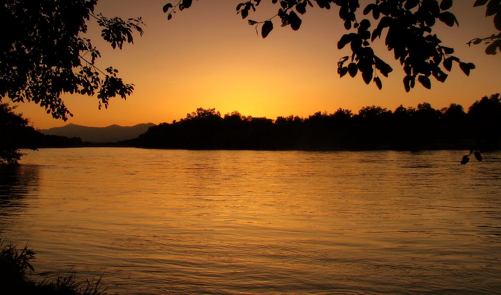
Sunset on the River
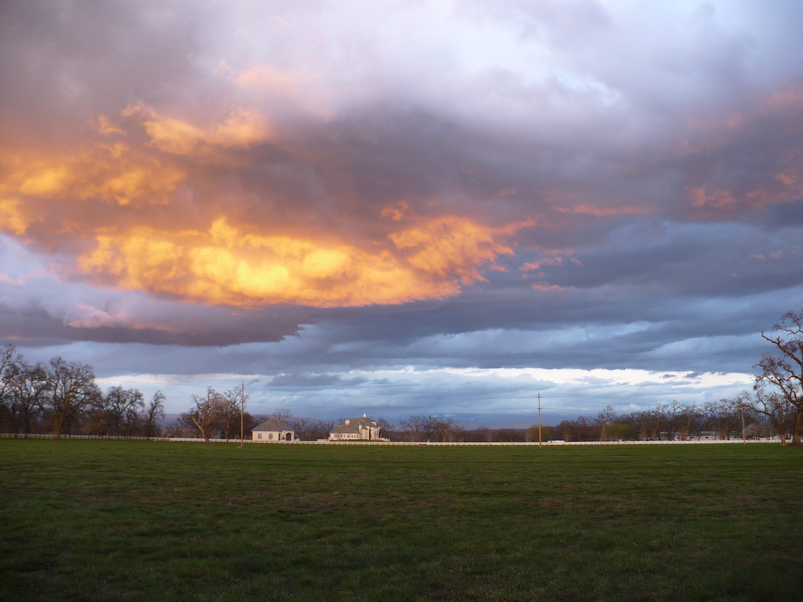
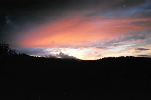
Passing storm
Sacramento Valley (Endless Hope)

Barge Hole (Red Bloom)
sacramento river sunset

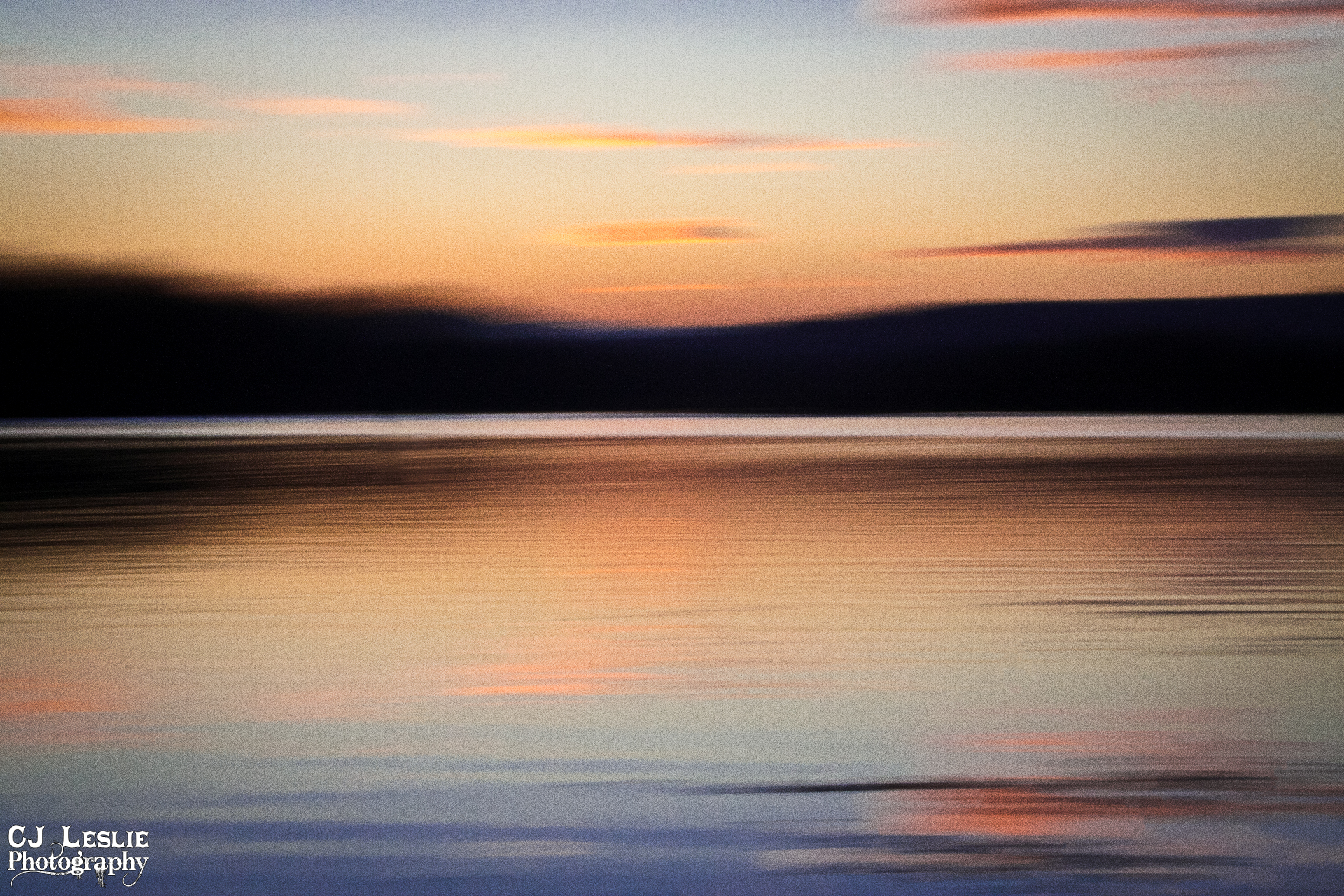
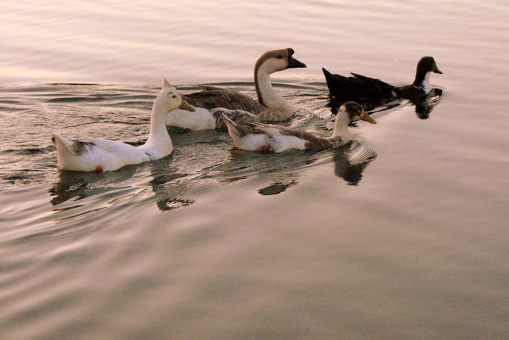
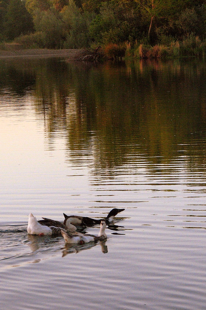
Peace on the lake

Sunset on the Sacramento River
summer breeze

Break Open the Sky

Redding sunset - unaltered
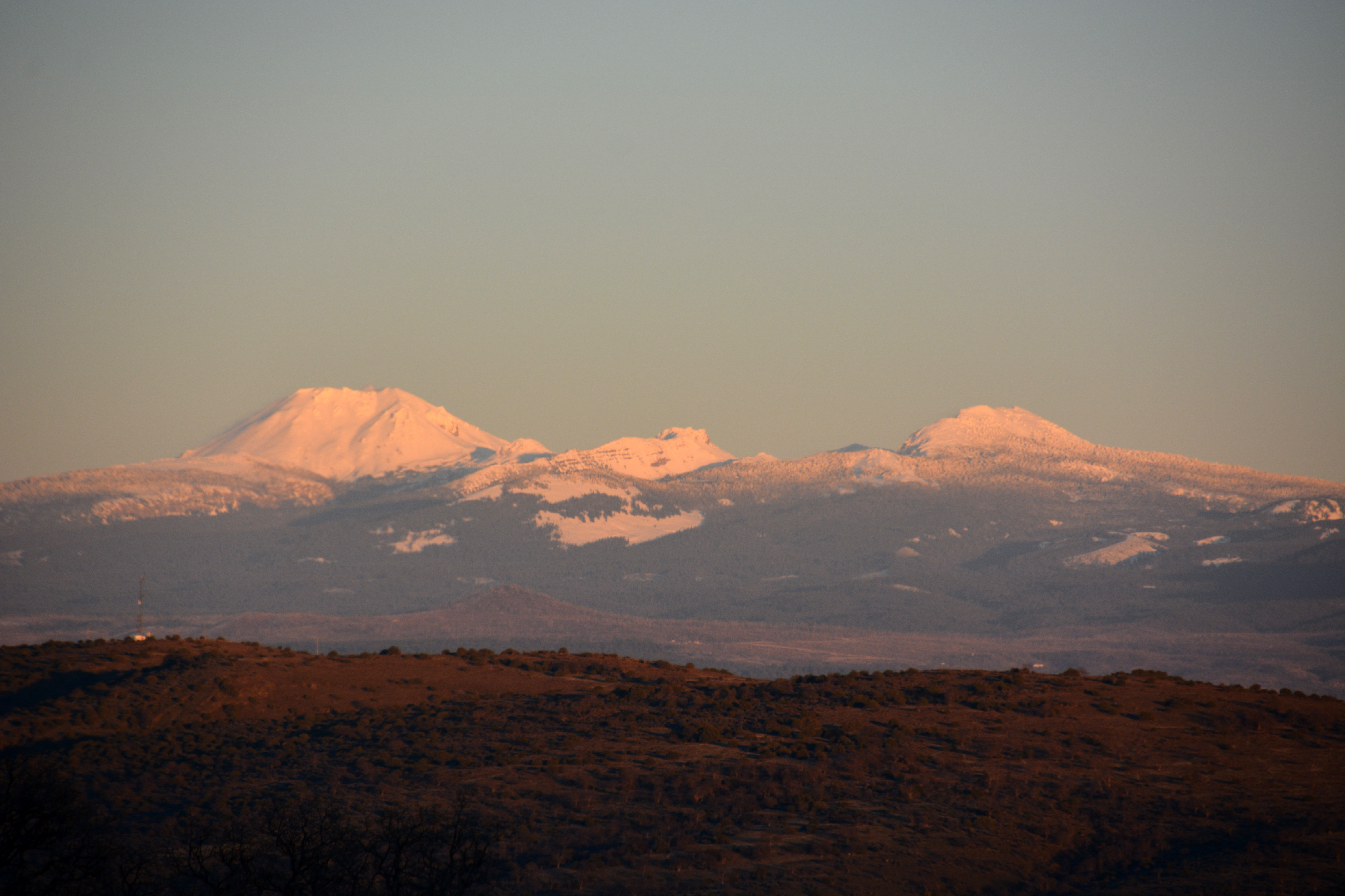
A Shasta SkyLine
ready for summer

Interstate 5 Northbound Tehama Valley Freeway approaches at Exit 659 - Sunset Hills Road with this roadside sign located at Tehama County - South Cottonwood, California.

The Crossing

Interstate 5 Southbound Tehama Valley Freeway approaches at Exit 659 - Sunset Hills Drive & Auction Yard Road with this roadside sign located at Tehama County, California.

Interstate 5 Southbound Tehama Valley Freeway approaching Exit 659 - Sunset Hills Drive / Auction Yard Road 1 mile with this roadside sign located at Tehama County, California.
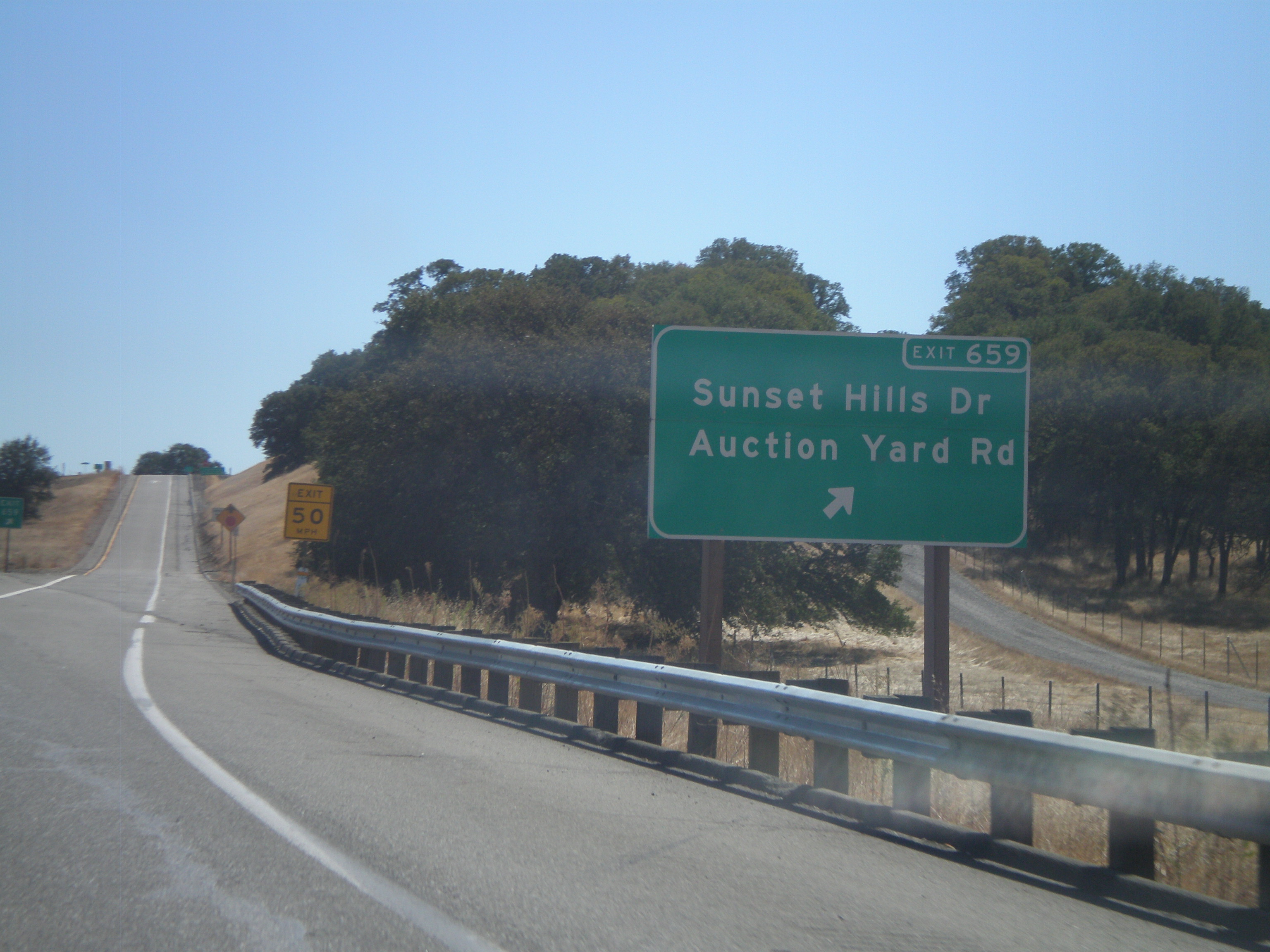
I-5 South - Exit 659
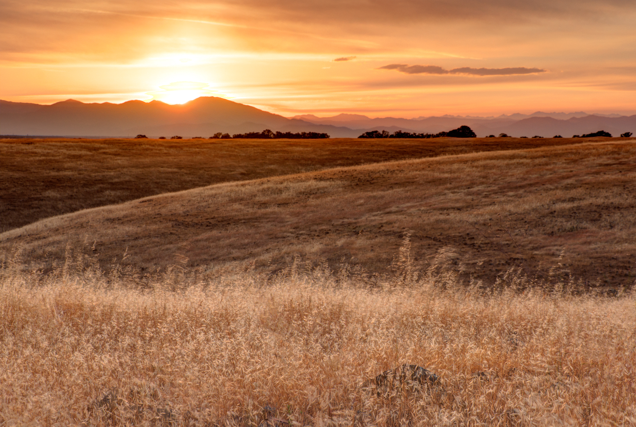
Lassen Sunset
Redding Sunset

Calfire Helicopter 901 - N489DF Gulch Fire 2014
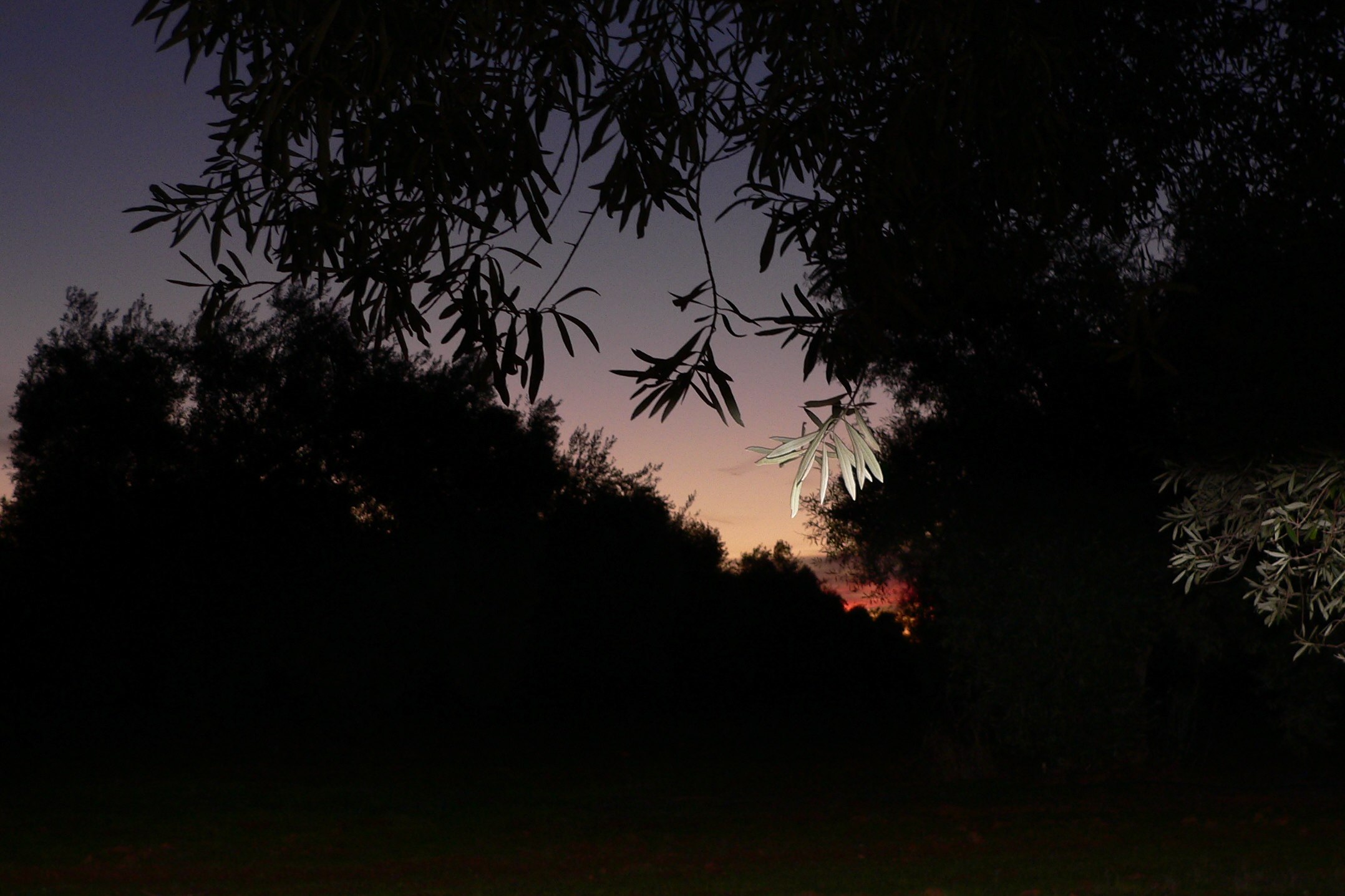
SUNRISE IN AN OLIVE ORCHARD

Sun coming up over Dersch Road Anderson Ca. On my way to attack Mount Lassen Peak. Couldn't pass up the sunrise shot.

Sunrise and Lowe's parking lot
アメリカ合衆国 〒 カリフォルニア州 アンダーソンの地図
別の場所を検索
アメリカ合衆国 〒 カリフォルニア州 アンダーソンでの場所
近所の場所
アメリカ合衆国 カリフォルニア州 アンダーソン カスケード
Sharon Ave, Anderson, CA アメリカ合衆国
Aquado Ln, Cascade, CA アメリカ合衆国アクアド・レーン
アメリカ合衆国 カリフォルニア州 レディング パチェーコ
Pacheco School Rd, Redding, CA アメリカ合衆国
Knighton Rd, Redding, CA アメリカ合衆国
Los Altos Dr, Palo Cedro, CA アメリカ合衆国
Madrone Way, Redding, CA アメリカ合衆国
Silver Bridge Rd, Palo Cedro, CA アメリカ合衆国
Capella St, Redding, CA アメリカ合衆国
アメリカ合衆国 〒 カリフォルニア州 レディング パークサイド・マナー
Morningsun Dr, Redding, CA アメリカ合衆国
Silverfield Loop, Redding, CA アメリカ合衆国
Old 44 Dr, Redding, CA アメリカ合衆国Rare Air Trampoline Park
アメリカ合衆国 〒 カリフォルニア州 レディング ウッドヘイブン・ホームズ
Marlene Ave, Redding, CA アメリカ合衆国
Redtail Ln, Palo Cedro, CA アメリカ合衆国
Christian Ln, Redding, CA アメリカ合衆国
アメリカ合衆国 〒 カリフォルニア州 パロ・セドロ
Deschutes Rd, Palo Cedro, CA アメリカ合衆国
最近の検索
- アメリカ合衆国 アラスカ州 レッド・ドッグ・マイン日の出日の入り時間
- Am bhf, Borken, ドイツアム・バーンホーフ日の出日の入り時間
- 4th St E, Sonoma, CA, USA日の出日の入り時間
- Oakland Ave, Williamsport, PA アメリカ合衆国日の出日の入り時間
- Via Roma, Pieranica CR, イタリアローマ通り日の出日の入り時間
- クロアチア 〒 ドゥブロブニク GradClock Tower of Dubrovnik日の出日の入り時間
- アルゼンチン チュブ州 トレリュー日の出日の入り時間
- Hartfords Bluff Cir, Mt Pleasant, SC アメリカ合衆国日の出日の入り時間
- 日本、熊本県熊本市北区日の出日の入り時間
- 中華人民共和国 福州市 平潭県 平潭島日の出日の入り時間