アメリカ合衆国 〒 カリフォルニア州 アクトン日の出日の入り時間
Location: アメリカ合衆国 > カリフォルニア州 > ロサンゼルス >
時間帯:
America/Los_Angeles
現地時間:
2025-06-26 14:27:41
経度:
-118.1967418
緯度:
34.469994
今日の日の出時刻:
05:42:39 AM
今日の日の入時刻:
08:09:25 PM
今日の日長:
14h 26m 46s
明日の日の出時刻:
05:43:02 AM
明日の日の入時刻:
08:09:27 PM
明日の日長:
14h 26m 25s
すべて表示する
| 日付 | 日出 | 日没 | 日長 |
|---|---|---|---|
| 2025年01月01日 | 06:59:34 AM | 04:54:26 PM | 9h 54m 52s |
| 2025年01月02日 | 06:59:42 AM | 04:55:14 PM | 9h 55m 32s |
| 2025年01月03日 | 06:59:48 AM | 04:56:02 PM | 9h 56m 14s |
| 2025年01月04日 | 06:59:52 AM | 04:56:51 PM | 9h 56m 59s |
| 2025年01月05日 | 06:59:54 AM | 04:57:42 PM | 9h 57m 48s |
| 2025年01月06日 | 06:59:55 AM | 04:58:33 PM | 9h 58m 38s |
| 2025年01月07日 | 06:59:53 AM | 04:59:25 PM | 9h 59m 32s |
| 2025年01月08日 | 06:59:50 AM | 05:00:18 PM | 10h 0m 28s |
| 2025年01月09日 | 06:59:44 AM | 05:01:12 PM | 10h 1m 28s |
| 2025年01月10日 | 06:59:37 AM | 05:02:06 PM | 10h 2m 29s |
| 2025年01月11日 | 06:59:28 AM | 05:03:01 PM | 10h 3m 33s |
| 2025年01月12日 | 06:59:17 AM | 05:03:57 PM | 10h 4m 40s |
| 2025年01月13日 | 06:59:04 AM | 05:04:53 PM | 10h 5m 49s |
| 2025年01月14日 | 06:58:49 AM | 05:05:50 PM | 10h 7m 1s |
| 2025年01月15日 | 06:58:33 AM | 05:06:48 PM | 10h 8m 15s |
| 2025年01月16日 | 06:58:14 AM | 05:07:45 PM | 10h 9m 31s |
| 2025年01月17日 | 06:57:54 AM | 05:08:44 PM | 10h 10m 50s |
| 2025年01月18日 | 06:57:32 AM | 05:09:42 PM | 10h 12m 10s |
| 2025年01月19日 | 06:57:08 AM | 05:10:41 PM | 10h 13m 33s |
| 2025年01月20日 | 06:56:42 AM | 05:11:40 PM | 10h 14m 58s |
| 2025年01月21日 | 06:56:15 AM | 05:12:40 PM | 10h 16m 25s |
| 2025年01月22日 | 06:55:46 AM | 05:13:39 PM | 10h 17m 53s |
| 2025年01月23日 | 06:55:15 AM | 05:14:39 PM | 10h 19m 24s |
| 2025年01月24日 | 06:54:42 AM | 05:15:39 PM | 10h 20m 57s |
| 2025年01月25日 | 06:54:07 AM | 05:16:39 PM | 10h 22m 32s |
| 2025年01月26日 | 06:53:31 AM | 05:17:39 PM | 10h 24m 8s |
| 2025年01月27日 | 06:52:54 AM | 05:18:39 PM | 10h 25m 45s |
| 2025年01月28日 | 06:52:14 AM | 05:19:39 PM | 10h 27m 25s |
| 2025年01月29日 | 06:51:33 AM | 05:20:40 PM | 10h 29m 7s |
| 2025年01月30日 | 06:50:51 AM | 05:21:40 PM | 10h 30m 49s |
| 2025年01月31日 | 06:50:07 AM | 05:22:40 PM | 10h 32m 33s |
| 2025年02月01日 | 06:49:21 AM | 05:23:39 PM | 10h 34m 18s |
| 2025年02月02日 | 06:48:34 AM | 05:24:39 PM | 10h 36m 5s |
| 2025年02月03日 | 06:47:46 AM | 05:25:39 PM | 10h 37m 53s |
| 2025年02月04日 | 06:46:56 AM | 05:26:38 PM | 10h 39m 42s |
| 2025年02月05日 | 06:46:04 AM | 05:27:37 PM | 10h 41m 33s |
| 2025年02月06日 | 06:45:12 AM | 05:28:36 PM | 10h 43m 24s |
| 2025年02月07日 | 06:44:17 AM | 05:29:35 PM | 10h 45m 18s |
| 2025年02月08日 | 06:43:22 AM | 05:30:33 PM | 10h 47m 11s |
| 2025年02月09日 | 06:42:25 AM | 05:31:32 PM | 10h 49m 7s |
| 2025年02月10日 | 06:41:27 AM | 05:32:30 PM | 10h 51m 3s |
| 2025年02月11日 | 06:40:28 AM | 05:33:27 PM | 10h 52m 59s |
| 2025年02月12日 | 06:39:28 AM | 05:34:25 PM | 10h 54m 57s |
| 2025年02月13日 | 06:38:26 AM | 05:35:22 PM | 10h 56m 56s |
| 2025年02月14日 | 06:37:23 AM | 05:36:18 PM | 10h 58m 55s |
| 2025年02月15日 | 06:36:19 AM | 05:37:15 PM | 11h 0m 56s |
| 2025年02月16日 | 06:35:15 AM | 05:38:11 PM | 11h 2m 56s |
| 2025年02月17日 | 06:34:09 AM | 05:39:07 PM | 11h 4m 58s |
| 2025年02月18日 | 06:33:02 AM | 05:40:02 PM | 11h 7m 0s |
| 2025年02月19日 | 06:31:54 AM | 05:40:57 PM | 11h 9m 3s |
| 2025年02月20日 | 06:30:45 AM | 05:41:52 PM | 11h 11m 7s |
| 2025年02月21日 | 06:29:35 AM | 05:42:46 PM | 11h 13m 11s |
| 2025年02月22日 | 06:28:24 AM | 05:43:40 PM | 11h 15m 16s |
| 2025年02月23日 | 06:27:13 AM | 05:44:34 PM | 11h 17m 21s |
| 2025年02月24日 | 06:26:00 AM | 05:45:27 PM | 11h 19m 27s |
| 2025年02月25日 | 06:24:47 AM | 05:46:20 PM | 11h 21m 33s |
| 2025年02月26日 | 06:23:33 AM | 05:47:13 PM | 11h 23m 40s |
| 2025年02月27日 | 06:22:19 AM | 05:48:05 PM | 11h 25m 46s |
| 2025年02月28日 | 06:21:03 AM | 05:48:57 PM | 11h 27m 54s |
| 2025年03月01日 | 06:19:47 AM | 05:49:49 PM | 11h 30m 2s |
| 2025年03月02日 | 06:18:31 AM | 05:50:41 PM | 11h 32m 10s |
| 2025年03月03日 | 06:17:13 AM | 05:51:32 PM | 11h 34m 19s |
| 2025年03月04日 | 06:15:56 AM | 05:52:22 PM | 11h 36m 26s |
| 2025年03月05日 | 06:14:37 AM | 05:53:13 PM | 11h 38m 36s |
| 2025年03月06日 | 06:13:18 AM | 05:54:03 PM | 11h 40m 45s |
| 2025年03月07日 | 06:11:59 AM | 05:54:53 PM | 11h 42m 54s |
| 2025年03月08日 | 06:10:39 AM | 05:55:43 PM | 11h 45m 4s |
| 2025年03月09日 | 07:09:22 AM | 06:56:30 PM | 11h 47m 8s |
| 2025年03月10日 | 07:08:02 AM | 06:57:19 PM | 11h 49m 17s |
| 2025年03月11日 | 07:06:41 AM | 06:58:08 PM | 11h 51m 27s |
| 2025年03月12日 | 07:05:19 AM | 06:58:57 PM | 11h 53m 38s |
| 2025年03月13日 | 07:03:58 AM | 06:59:45 PM | 11h 55m 47s |
| 2025年03月14日 | 07:02:36 AM | 07:00:33 PM | 11h 57m 57s |
| 2025年03月15日 | 07:01:14 AM | 07:01:22 PM | 12h 0m 8s |
| 2025年03月16日 | 06:59:51 AM | 07:02:09 PM | 12h 2m 18s |
| 2025年03月17日 | 06:58:29 AM | 07:02:57 PM | 12h 4m 28s |
| 2025年03月18日 | 06:57:06 AM | 07:03:45 PM | 12h 6m 39s |
| 2025年03月19日 | 06:55:43 AM | 07:04:32 PM | 12h 8m 49s |
| 2025年03月20日 | 06:54:20 AM | 07:05:19 PM | 12h 10m 59s |
| 2025年03月21日 | 06:52:57 AM | 07:06:06 PM | 12h 13m 9s |
| 2025年03月22日 | 06:51:34 AM | 07:06:54 PM | 12h 15m 20s |
| 2025年03月23日 | 06:50:11 AM | 07:07:40 PM | 12h 17m 29s |
| 2025年03月24日 | 06:48:48 AM | 07:08:27 PM | 12h 19m 39s |
| 2025年03月25日 | 06:47:25 AM | 07:09:14 PM | 12h 21m 49s |
| 2025年03月26日 | 06:46:02 AM | 07:10:01 PM | 12h 23m 59s |
| 2025年03月27日 | 06:44:40 AM | 07:10:47 PM | 12h 26m 7s |
| 2025年03月28日 | 06:43:17 AM | 07:11:34 PM | 12h 28m 17s |
| 2025年03月29日 | 06:41:55 AM | 07:12:20 PM | 12h 30m 25s |
| 2025年03月30日 | 06:40:32 AM | 07:13:07 PM | 12h 32m 35s |
| 2025年03月31日 | 06:39:10 AM | 07:13:53 PM | 12h 34m 43s |
| 2025年04月01日 | 06:37:48 AM | 07:14:40 PM | 12h 36m 52s |
| 2025年04月02日 | 06:36:27 AM | 07:15:26 PM | 12h 38m 59s |
| 2025年04月03日 | 06:35:06 AM | 07:16:13 PM | 12h 41m 7s |
| 2025年04月04日 | 06:33:45 AM | 07:16:59 PM | 12h 43m 14s |
| 2025年04月05日 | 06:32:24 AM | 07:17:46 PM | 12h 45m 22s |
| 2025年04月06日 | 06:31:04 AM | 07:18:32 PM | 12h 47m 28s |
| 2025年04月07日 | 06:29:45 AM | 07:19:19 PM | 12h 49m 34s |
| 2025年04月08日 | 06:28:25 AM | 07:20:05 PM | 12h 51m 40s |
| 2025年04月09日 | 06:27:07 AM | 07:20:52 PM | 12h 53m 45s |
| 2025年04月10日 | 06:25:48 AM | 07:21:39 PM | 12h 55m 51s |
| 2025年04月11日 | 06:24:31 AM | 07:22:25 PM | 12h 57m 54s |
| 2025年04月12日 | 06:23:14 AM | 07:23:12 PM | 12h 59m 58s |
| 2025年04月13日 | 06:21:57 AM | 07:23:59 PM | 13h 2m 2s |
| 2025年04月14日 | 06:20:41 AM | 07:24:46 PM | 13h 4m 5s |
| 2025年04月15日 | 06:19:26 AM | 07:25:33 PM | 13h 6m 7s |
| 2025年04月16日 | 06:18:12 AM | 07:26:20 PM | 13h 8m 8s |
| 2025年04月17日 | 06:16:58 AM | 07:27:07 PM | 13h 10m 9s |
| 2025年04月18日 | 06:15:45 AM | 07:27:54 PM | 13h 12m 9s |
| 2025年04月19日 | 06:14:32 AM | 07:28:42 PM | 13h 14m 10s |
| 2025年04月20日 | 06:13:21 AM | 07:29:29 PM | 13h 16m 8s |
| 2025年04月21日 | 06:12:10 AM | 07:30:17 PM | 13h 18m 7s |
| 2025年04月22日 | 06:11:00 AM | 07:31:04 PM | 13h 20m 4s |
| 2025年04月23日 | 06:09:51 AM | 07:31:52 PM | 13h 22m 1s |
| 2025年04月24日 | 06:08:43 AM | 07:32:39 PM | 13h 23m 56s |
| 2025年04月25日 | 06:07:36 AM | 07:33:27 PM | 13h 25m 51s |
| 2025年04月26日 | 06:06:30 AM | 07:34:14 PM | 13h 27m 44s |
| 2025年04月27日 | 06:05:25 AM | 07:35:02 PM | 13h 29m 37s |
| 2025年04月28日 | 06:04:21 AM | 07:35:50 PM | 13h 31m 29s |
| 2025年04月29日 | 06:03:18 AM | 07:36:38 PM | 13h 33m 20s |
| 2025年04月30日 | 06:02:16 AM | 07:37:25 PM | 13h 35m 9s |
| 2025年05月01日 | 06:01:15 AM | 07:38:13 PM | 13h 36m 58s |
| 2025年05月02日 | 06:00:15 AM | 07:39:01 PM | 13h 38m 46s |
| 2025年05月03日 | 05:59:16 AM | 07:39:48 PM | 13h 40m 32s |
| 2025年05月04日 | 05:58:19 AM | 07:40:36 PM | 13h 42m 17s |
| 2025年05月05日 | 05:57:22 AM | 07:41:23 PM | 13h 44m 1s |
| 2025年05月06日 | 05:56:27 AM | 07:42:11 PM | 13h 45m 44s |
| 2025年05月07日 | 05:55:34 AM | 07:42:58 PM | 13h 47m 24s |
| 2025年05月08日 | 05:54:41 AM | 07:43:45 PM | 13h 49m 4s |
| 2025年05月09日 | 05:53:50 AM | 07:44:32 PM | 13h 50m 42s |
| 2025年05月10日 | 05:53:00 AM | 07:45:19 PM | 13h 52m 19s |
| 2025年05月11日 | 05:52:11 AM | 07:46:06 PM | 13h 53m 55s |
| 2025年05月12日 | 05:51:24 AM | 07:46:52 PM | 13h 55m 28s |
| 2025年05月13日 | 05:50:39 AM | 07:47:38 PM | 13h 56m 59s |
| 2025年05月14日 | 05:49:54 AM | 07:48:24 PM | 13h 58m 30s |
| 2025年05月15日 | 05:49:11 AM | 07:49:09 PM | 13h 59m 58s |
| 2025年05月16日 | 05:48:30 AM | 07:49:55 PM | 14h 1m 25s |
| 2025年05月17日 | 05:47:50 AM | 07:50:40 PM | 14h 2m 50s |
| 2025年05月18日 | 05:47:11 AM | 07:51:24 PM | 14h 4m 13s |
| 2025年05月19日 | 05:46:34 AM | 07:52:08 PM | 14h 5m 34s |
| 2025年05月20日 | 05:45:58 AM | 07:52:52 PM | 14h 6m 54s |
| 2025年05月21日 | 05:45:24 AM | 07:53:35 PM | 14h 8m 11s |
| 2025年05月22日 | 05:44:52 AM | 07:54:18 PM | 14h 9m 26s |
| 2025年05月23日 | 05:44:21 AM | 07:55:00 PM | 14h 10m 39s |
| 2025年05月24日 | 05:43:52 AM | 07:55:41 PM | 14h 11m 49s |
| 2025年05月25日 | 05:43:24 AM | 07:56:22 PM | 14h 12m 58s |
| 2025年05月26日 | 05:42:58 AM | 07:57:02 PM | 14h 14m 4s |
| 2025年05月27日 | 05:42:33 AM | 07:57:42 PM | 14h 15m 9s |
| 2025年05月28日 | 05:42:10 AM | 07:58:21 PM | 14h 16m 11s |
| 2025年05月29日 | 05:41:49 AM | 07:58:59 PM | 14h 17m 10s |
| 2025年05月30日 | 05:41:29 AM | 07:59:36 PM | 14h 18m 7s |
| 2025年05月31日 | 05:41:11 AM | 08:00:13 PM | 14h 19m 2s |
| 2025年06月01日 | 05:40:55 AM | 08:00:48 PM | 14h 19m 53s |
| 2025年06月02日 | 05:40:40 AM | 08:01:23 PM | 14h 20m 43s |
| 2025年06月03日 | 05:40:27 AM | 08:01:57 PM | 14h 21m 30s |
| 2025年06月04日 | 05:40:15 AM | 08:02:30 PM | 14h 22m 15s |
| 2025年06月05日 | 05:40:05 AM | 08:03:02 PM | 14h 22m 57s |
| 2025年06月06日 | 05:39:57 AM | 08:03:33 PM | 14h 23m 36s |
| 2025年06月07日 | 05:39:50 AM | 08:04:03 PM | 14h 24m 13s |
| 2025年06月08日 | 05:39:45 AM | 08:04:31 PM | 14h 24m 46s |
| 2025年06月09日 | 05:39:41 AM | 08:04:59 PM | 14h 25m 18s |
| 2025年06月10日 | 05:39:39 AM | 08:05:25 PM | 14h 25m 46s |
| 2025年06月11日 | 05:39:39 AM | 08:05:50 PM | 14h 26m 11s |
| 2025年06月12日 | 05:39:40 AM | 08:06:14 PM | 14h 26m 34s |
| 2025年06月13日 | 05:39:43 AM | 08:06:37 PM | 14h 26m 54s |
| 2025年06月14日 | 05:39:47 AM | 08:06:58 PM | 14h 27m 11s |
| 2025年06月15日 | 05:39:53 AM | 08:07:18 PM | 14h 27m 25s |
| 2025年06月16日 | 05:40:00 AM | 08:07:37 PM | 14h 27m 37s |
| 2025年06月17日 | 05:40:09 AM | 08:07:54 PM | 14h 27m 45s |
| 2025年06月18日 | 05:40:19 AM | 08:08:10 PM | 14h 27m 51s |
| 2025年06月19日 | 05:40:31 AM | 08:08:25 PM | 14h 27m 54s |
| 2025年06月20日 | 05:40:44 AM | 08:08:38 PM | 14h 27m 54s |
| 2025年06月21日 | 05:40:59 AM | 08:08:49 PM | 14h 27m 50s |
| 2025年06月22日 | 05:41:14 AM | 08:09:00 PM | 14h 27m 46s |
| 2025年06月23日 | 05:41:32 AM | 08:09:08 PM | 14h 27m 36s |
| 2025年06月24日 | 05:41:50 AM | 08:09:15 PM | 14h 27m 25s |
| 2025年06月25日 | 05:42:10 AM | 08:09:20 PM | 14h 27m 10s |
| 2025年06月26日 | 05:42:31 AM | 08:09:24 PM | 14h 26m 53s |
| 2025年06月27日 | 05:42:53 AM | 08:09:27 PM | 14h 26m 34s |
| 2025年06月28日 | 05:43:17 AM | 08:09:27 PM | 14h 26m 10s |
| 2025年06月29日 | 05:43:41 AM | 08:09:26 PM | 14h 25m 45s |
| 2025年06月30日 | 05:44:07 AM | 08:09:24 PM | 14h 25m 17s |
| 2025年07月01日 | 05:44:34 AM | 08:09:19 PM | 14h 24m 45s |
| 2025年07月02日 | 05:45:02 AM | 08:09:14 PM | 14h 24m 12s |
| 2025年07月03日 | 05:45:31 AM | 08:09:06 PM | 14h 23m 35s |
| 2025年07月04日 | 05:46:01 AM | 08:08:57 PM | 14h 22m 56s |
| 2025年07月05日 | 05:46:31 AM | 08:08:46 PM | 14h 22m 15s |
| 2025年07月06日 | 05:47:03 AM | 08:08:33 PM | 14h 21m 30s |
| 2025年07月07日 | 05:47:36 AM | 08:08:19 PM | 14h 20m 43s |
| 2025年07月08日 | 05:48:09 AM | 08:08:03 PM | 14h 19m 54s |
| 2025年07月09日 | 05:48:44 AM | 08:07:46 PM | 14h 19m 2s |
| 2025年07月10日 | 05:49:19 AM | 08:07:27 PM | 14h 18m 8s |
| 2025年07月11日 | 05:49:55 AM | 08:07:06 PM | 14h 17m 11s |
| 2025年07月12日 | 05:50:31 AM | 08:06:43 PM | 14h 16m 12s |
| 2025年07月13日 | 05:51:09 AM | 08:06:19 PM | 14h 15m 10s |
| 2025年07月14日 | 05:51:47 AM | 08:05:53 PM | 14h 14m 6s |
| 2025年07月15日 | 05:52:25 AM | 08:05:26 PM | 14h 13m 1s |
| 2025年07月16日 | 05:53:04 AM | 08:04:57 PM | 14h 11m 53s |
| 2025年07月17日 | 05:53:44 AM | 08:04:26 PM | 14h 10m 42s |
| 2025年07月18日 | 05:54:24 AM | 08:03:54 PM | 14h 9m 30s |
| 2025年07月19日 | 05:55:04 AM | 08:03:20 PM | 14h 8m 16s |
| 2025年07月20日 | 05:55:45 AM | 08:02:45 PM | 14h 7m 0s |
| 2025年07月21日 | 05:56:27 AM | 08:02:08 PM | 14h 5m 41s |
| 2025年07月22日 | 05:57:09 AM | 08:01:29 PM | 14h 4m 20s |
| 2025年07月23日 | 05:57:51 AM | 08:00:49 PM | 14h 2m 58s |
| 2025年07月24日 | 05:58:33 AM | 08:00:08 PM | 14h 1m 35s |
| 2025年07月25日 | 05:59:16 AM | 07:59:25 PM | 14h 0m 9s |
| 2025年07月26日 | 05:59:59 AM | 07:58:40 PM | 13h 58m 41s |
| 2025年07月27日 | 06:00:42 AM | 07:57:54 PM | 13h 57m 12s |
| 2025年07月28日 | 06:01:26 AM | 07:57:07 PM | 13h 55m 41s |
| 2025年07月29日 | 06:02:10 AM | 07:56:18 PM | 13h 54m 8s |
| 2025年07月30日 | 06:02:53 AM | 07:55:28 PM | 13h 52m 35s |
| 2025年07月31日 | 06:03:37 AM | 07:54:36 PM | 13h 50m 59s |
| 2025年08月01日 | 06:04:22 AM | 07:53:44 PM | 13h 49m 22s |
| 2025年08月02日 | 06:05:06 AM | 07:52:49 PM | 13h 47m 43s |
| 2025年08月03日 | 06:05:50 AM | 07:51:54 PM | 13h 46m 4s |
| 2025年08月04日 | 06:06:34 AM | 07:50:57 PM | 13h 44m 23s |
| 2025年08月05日 | 06:07:19 AM | 07:49:59 PM | 13h 42m 40s |
| 2025年08月06日 | 06:08:03 AM | 07:49:00 PM | 13h 40m 57s |
| 2025年08月07日 | 06:08:48 AM | 07:48:00 PM | 13h 39m 12s |
| 2025年08月08日 | 06:09:32 AM | 07:46:58 PM | 13h 37m 26s |
| 2025年08月09日 | 06:10:17 AM | 07:45:56 PM | 13h 35m 39s |
| 2025年08月10日 | 06:11:01 AM | 07:44:52 PM | 13h 33m 51s |
| 2025年08月11日 | 06:11:45 AM | 07:43:47 PM | 13h 32m 2s |
| 2025年08月12日 | 06:12:30 AM | 07:42:41 PM | 13h 30m 11s |
| 2025年08月13日 | 06:13:14 AM | 07:41:34 PM | 13h 28m 20s |
| 2025年08月14日 | 06:13:58 AM | 07:40:26 PM | 13h 26m 28s |
| 2025年08月15日 | 06:14:42 AM | 07:39:17 PM | 13h 24m 35s |
| 2025年08月16日 | 06:15:26 AM | 07:38:08 PM | 13h 22m 42s |
| 2025年08月17日 | 06:16:10 AM | 07:36:57 PM | 13h 20m 47s |
| 2025年08月18日 | 06:16:54 AM | 07:35:45 PM | 13h 18m 51s |
| 2025年08月19日 | 06:17:38 AM | 07:34:33 PM | 13h 16m 55s |
| 2025年08月20日 | 06:18:21 AM | 07:33:19 PM | 13h 14m 58s |
| 2025年08月21日 | 06:19:05 AM | 07:32:05 PM | 13h 13m 0s |
| 2025年08月22日 | 06:19:48 AM | 07:30:50 PM | 13h 11m 2s |
| 2025年08月23日 | 06:20:32 AM | 07:29:34 PM | 13h 9m 2s |
| 2025年08月24日 | 06:21:15 AM | 07:28:18 PM | 13h 7m 3s |
| 2025年08月25日 | 06:21:58 AM | 07:27:01 PM | 13h 5m 3s |
| 2025年08月26日 | 06:22:41 AM | 07:25:43 PM | 13h 3m 2s |
| 2025年08月27日 | 06:23:24 AM | 07:24:25 PM | 13h 1m 1s |
| 2025年08月28日 | 06:24:07 AM | 07:23:06 PM | 12h 58m 59s |
| 2025年08月29日 | 06:24:50 AM | 07:21:46 PM | 12h 56m 56s |
| 2025年08月30日 | 06:25:32 AM | 07:20:26 PM | 12h 54m 54s |
| 2025年08月31日 | 06:26:15 AM | 07:19:05 PM | 12h 52m 50s |
| 2025年09月01日 | 06:26:58 AM | 07:17:44 PM | 12h 50m 46s |
| 2025年09月02日 | 06:27:40 AM | 07:16:22 PM | 12h 48m 42s |
| 2025年09月03日 | 06:28:22 AM | 07:15:00 PM | 12h 46m 38s |
| 2025年09月04日 | 06:29:05 AM | 07:13:37 PM | 12h 44m 32s |
| 2025年09月05日 | 06:29:47 AM | 07:12:14 PM | 12h 42m 27s |
| 2025年09月06日 | 06:30:29 AM | 07:10:51 PM | 12h 40m 22s |
| 2025年09月07日 | 06:31:12 AM | 07:09:27 PM | 12h 38m 15s |
| 2025年09月08日 | 06:31:54 AM | 07:08:04 PM | 12h 36m 10s |
| 2025年09月09日 | 06:32:36 AM | 07:06:39 PM | 12h 34m 3s |
| 2025年09月10日 | 06:33:18 AM | 07:05:15 PM | 12h 31m 57s |
| 2025年09月11日 | 06:34:00 AM | 07:03:50 PM | 12h 29m 50s |
| 2025年09月12日 | 06:34:43 AM | 07:02:25 PM | 12h 27m 42s |
| 2025年09月13日 | 06:35:25 AM | 07:01:00 PM | 12h 25m 35s |
| 2025年09月14日 | 06:36:07 AM | 06:59:35 PM | 12h 23m 28s |
| 2025年09月15日 | 06:36:49 AM | 06:58:10 PM | 12h 21m 21s |
| 2025年09月16日 | 06:37:32 AM | 06:56:45 PM | 12h 19m 13s |
| 2025年09月17日 | 06:38:14 AM | 06:55:19 PM | 12h 17m 5s |
| 2025年09月18日 | 06:38:57 AM | 06:53:54 PM | 12h 14m 57s |
| 2025年09月19日 | 06:39:40 AM | 06:52:29 PM | 12h 12m 49s |
| 2025年09月20日 | 06:40:22 AM | 06:51:03 PM | 12h 10m 41s |
| 2025年09月21日 | 06:41:05 AM | 06:49:38 PM | 12h 8m 33s |
| 2025年09月22日 | 06:41:48 AM | 06:48:13 PM | 12h 6m 25s |
| 2025年09月23日 | 06:42:32 AM | 06:46:48 PM | 12h 4m 16s |
| 2025年09月24日 | 06:43:15 AM | 06:45:23 PM | 12h 2m 8s |
| 2025年09月25日 | 06:43:59 AM | 06:43:58 PM | 11h 59m 59s |
| 2025年09月26日 | 06:44:42 AM | 06:42:34 PM | 11h 57m 52s |
| 2025年09月27日 | 06:45:26 AM | 06:41:09 PM | 11h 55m 43s |
| 2025年09月28日 | 06:46:10 AM | 06:39:45 PM | 11h 53m 35s |
| 2025年09月29日 | 06:46:55 AM | 06:38:22 PM | 11h 51m 27s |
| 2025年09月30日 | 06:47:39 AM | 06:36:58 PM | 11h 49m 19s |
| 2025年10月01日 | 06:48:24 AM | 06:35:35 PM | 11h 47m 11s |
| 2025年10月02日 | 06:49:09 AM | 06:34:13 PM | 11h 45m 4s |
| 2025年10月03日 | 06:49:55 AM | 06:32:51 PM | 11h 42m 56s |
| 2025年10月04日 | 06:50:40 AM | 06:31:29 PM | 11h 40m 49s |
| 2025年10月05日 | 06:51:26 AM | 06:30:08 PM | 11h 38m 42s |
| 2025年10月06日 | 06:52:12 AM | 06:28:47 PM | 11h 36m 35s |
| 2025年10月07日 | 06:52:59 AM | 06:27:27 PM | 11h 34m 28s |
| 2025年10月08日 | 06:53:46 AM | 06:26:07 PM | 11h 32m 21s |
| 2025年10月09日 | 06:54:33 AM | 06:24:48 PM | 11h 30m 15s |
| 2025年10月10日 | 06:55:20 AM | 06:23:30 PM | 11h 28m 10s |
| 2025年10月11日 | 06:56:08 AM | 06:22:12 PM | 11h 26m 4s |
| 2025年10月12日 | 06:56:56 AM | 06:20:55 PM | 11h 23m 59s |
| 2025年10月13日 | 06:57:45 AM | 06:19:38 PM | 11h 21m 53s |
| 2025年10月14日 | 06:58:34 AM | 06:18:23 PM | 11h 19m 49s |
| 2025年10月15日 | 06:59:23 AM | 06:17:08 PM | 11h 17m 45s |
| 2025年10月16日 | 07:00:12 AM | 06:15:54 PM | 11h 15m 42s |
| 2025年10月17日 | 07:01:02 AM | 06:14:41 PM | 11h 13m 39s |
| 2025年10月18日 | 07:01:53 AM | 06:13:28 PM | 11h 11m 35s |
| 2025年10月19日 | 07:02:43 AM | 06:12:17 PM | 11h 9m 34s |
| 2025年10月20日 | 07:03:34 AM | 06:11:07 PM | 11h 7m 33s |
| 2025年10月21日 | 07:04:26 AM | 06:09:57 PM | 11h 5m 31s |
| 2025年10月22日 | 07:05:18 AM | 06:08:49 PM | 11h 3m 31s |
| 2025年10月23日 | 07:06:10 AM | 06:07:41 PM | 11h 1m 31s |
| 2025年10月24日 | 07:07:02 AM | 06:06:35 PM | 10h 59m 33s |
| 2025年10月25日 | 07:07:55 AM | 06:05:30 PM | 10h 57m 35s |
| 2025年10月26日 | 07:08:48 AM | 06:04:25 PM | 10h 55m 37s |
| 2025年10月27日 | 07:09:42 AM | 06:03:22 PM | 10h 53m 40s |
| 2025年10月28日 | 07:10:36 AM | 06:02:21 PM | 10h 51m 45s |
| 2025年10月29日 | 07:11:30 AM | 06:01:20 PM | 10h 49m 50s |
| 2025年10月30日 | 07:12:25 AM | 06:00:21 PM | 10h 47m 56s |
| 2025年10月31日 | 07:13:20 AM | 05:59:22 PM | 10h 46m 2s |
| 2025年11月01日 | 07:14:15 AM | 05:58:26 PM | 10h 44m 11s |
| 2025年11月02日 | 06:15:13 AM | 04:57:28 PM | 10h 42m 15s |
| 2025年11月03日 | 06:16:08 AM | 04:56:34 PM | 10h 40m 26s |
| 2025年11月04日 | 06:17:04 AM | 04:55:41 PM | 10h 38m 37s |
| 2025年11月05日 | 06:18:01 AM | 04:54:50 PM | 10h 36m 49s |
| 2025年11月06日 | 06:18:57 AM | 04:54:00 PM | 10h 35m 3s |
| 2025年11月07日 | 06:19:54 AM | 04:53:12 PM | 10h 33m 18s |
| 2025年11月08日 | 06:20:51 AM | 04:52:25 PM | 10h 31m 34s |
| 2025年11月09日 | 06:21:48 AM | 04:51:40 PM | 10h 29m 52s |
| 2025年11月10日 | 06:22:45 AM | 04:50:57 PM | 10h 28m 12s |
| 2025年11月11日 | 06:23:42 AM | 04:50:15 PM | 10h 26m 33s |
| 2025年11月12日 | 06:24:39 AM | 04:49:34 PM | 10h 24m 55s |
| 2025年11月13日 | 06:25:37 AM | 04:48:55 PM | 10h 23m 18s |
| 2025年11月14日 | 06:26:34 AM | 04:48:18 PM | 10h 21m 44s |
| 2025年11月15日 | 06:27:31 AM | 04:47:43 PM | 10h 20m 12s |
| 2025年11月16日 | 06:28:29 AM | 04:47:09 PM | 10h 18m 40s |
| 2025年11月17日 | 06:29:26 AM | 04:46:38 PM | 10h 17m 12s |
| 2025年11月18日 | 06:30:23 AM | 04:46:07 PM | 10h 15m 44s |
| 2025年11月19日 | 06:31:20 AM | 04:45:39 PM | 10h 14m 19s |
| 2025年11月20日 | 06:32:17 AM | 04:45:12 PM | 10h 12m 55s |
| 2025年11月21日 | 06:33:13 AM | 04:44:48 PM | 10h 11m 35s |
| 2025年11月22日 | 06:34:09 AM | 04:44:25 PM | 10h 10m 16s |
| 2025年11月23日 | 06:35:05 AM | 04:44:04 PM | 10h 8m 59s |
| 2025年11月24日 | 06:36:01 AM | 04:43:45 PM | 10h 7m 44s |
| 2025年11月25日 | 06:36:56 AM | 04:43:27 PM | 10h 6m 31s |
| 2025年11月26日 | 06:37:51 AM | 04:43:12 PM | 10h 5m 21s |
| 2025年11月27日 | 06:38:45 AM | 04:42:58 PM | 10h 4m 13s |
| 2025年11月28日 | 06:39:39 AM | 04:42:47 PM | 10h 3m 8s |
| 2025年11月29日 | 06:40:32 AM | 04:42:37 PM | 10h 2m 5s |
| 2025年11月30日 | 06:41:25 AM | 04:42:29 PM | 10h 1m 4s |
| 2025年12月01日 | 06:42:17 AM | 04:42:24 PM | 10h 0m 7s |
| 2025年12月02日 | 06:43:08 AM | 04:42:20 PM | 9h 59m 12s |
| 2025年12月03日 | 06:43:58 AM | 04:42:18 PM | 9h 58m 20s |
| 2025年12月04日 | 06:44:48 AM | 04:42:18 PM | 9h 57m 30s |
| 2025年12月05日 | 06:45:37 AM | 04:42:20 PM | 9h 56m 43s |
| 2025年12月06日 | 06:46:25 AM | 04:42:23 PM | 9h 55m 58s |
| 2025年12月07日 | 06:47:12 AM | 04:42:29 PM | 9h 55m 17s |
| 2025年12月08日 | 06:47:58 AM | 04:42:37 PM | 9h 54m 39s |
| 2025年12月09日 | 06:48:43 AM | 04:42:46 PM | 9h 54m 3s |
| 2025年12月10日 | 06:49:26 AM | 04:42:58 PM | 9h 53m 32s |
| 2025年12月11日 | 06:50:09 AM | 04:43:11 PM | 9h 53m 2s |
| 2025年12月12日 | 06:50:51 AM | 04:43:26 PM | 9h 52m 35s |
| 2025年12月13日 | 06:51:31 AM | 04:43:43 PM | 9h 52m 12s |
| 2025年12月14日 | 06:52:10 AM | 04:44:02 PM | 9h 51m 52s |
| 2025年12月15日 | 06:52:48 AM | 04:44:22 PM | 9h 51m 34s |
| 2025年12月16日 | 06:53:24 AM | 04:44:44 PM | 9h 51m 20s |
| 2025年12月17日 | 06:53:59 AM | 04:45:09 PM | 9h 51m 10s |
| 2025年12月18日 | 06:54:32 AM | 04:45:34 PM | 9h 51m 2s |
| 2025年12月19日 | 06:55:04 AM | 04:46:02 PM | 9h 50m 58s |
| 2025年12月20日 | 06:55:35 AM | 04:46:31 PM | 9h 50m 56s |
| 2025年12月21日 | 06:56:04 AM | 04:47:01 PM | 9h 50m 57s |
| 2025年12月22日 | 06:56:31 AM | 04:47:34 PM | 9h 51m 3s |
| 2025年12月23日 | 06:56:57 AM | 04:48:08 PM | 9h 51m 11s |
| 2025年12月24日 | 06:57:21 AM | 04:48:43 PM | 9h 51m 22s |
| 2025年12月25日 | 06:57:44 AM | 04:49:20 PM | 9h 51m 36s |
| 2025年12月26日 | 06:58:04 AM | 04:49:58 PM | 9h 51m 54s |
| 2025年12月27日 | 06:58:23 AM | 04:50:38 PM | 9h 52m 15s |
| 2025年12月28日 | 06:58:41 AM | 04:51:19 PM | 9h 52m 38s |
| 2025年12月29日 | 06:58:56 AM | 04:52:01 PM | 9h 53m 5s |
| 2025年12月30日 | 06:59:10 AM | 04:52:44 PM | 9h 53m 34s |
| 2025年12月31日 | 06:59:22 AM | 04:53:29 PM | 9h 54m 7s |
写真

Bill Stover

stock image

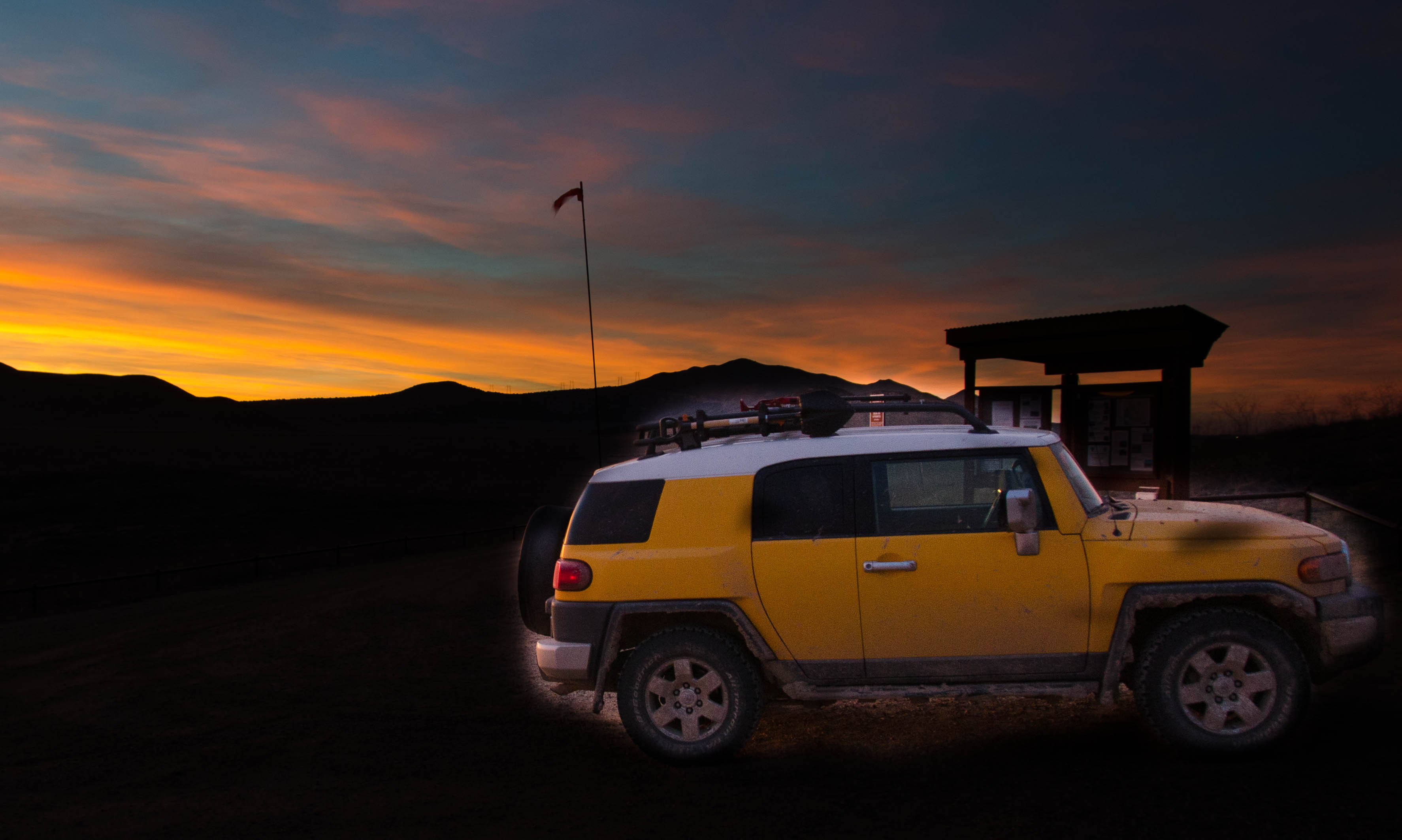
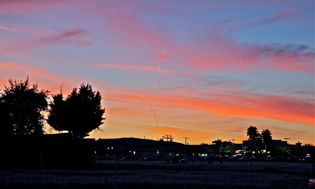
Water Tower Sunset

Orange Laser
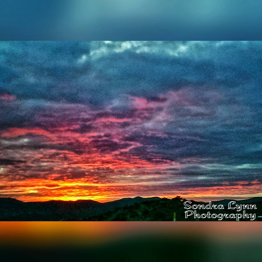
Beautiful sunset while driving down the 14 #Freeway toward #Newhall, #California #Photolife #Sondralynnphotography #sky #sunset #colors #clouds #views #cold #outside #America #beautiful #nature

On The Rocks With A Twist
Sunset and TidyTip

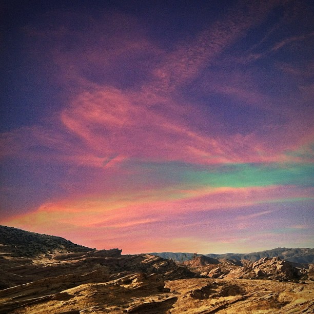
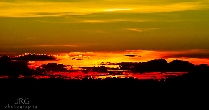
Carrizo Plain Sunset
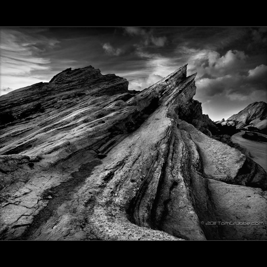
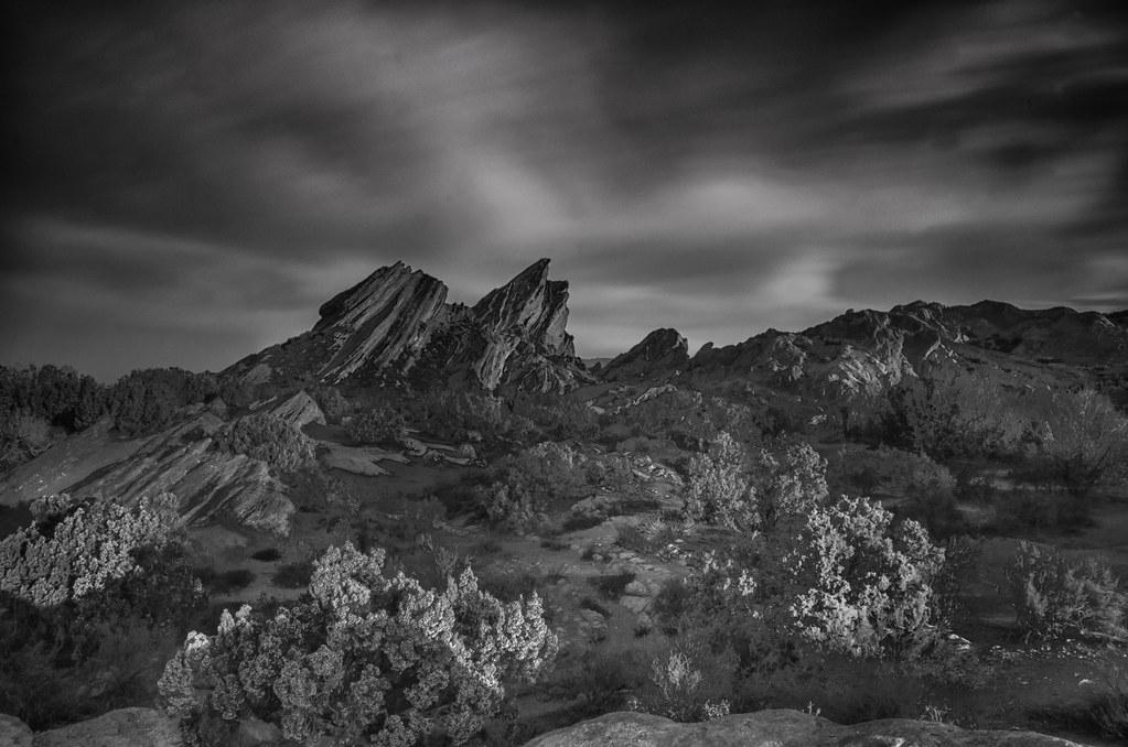
Vasquez Rocks B&W
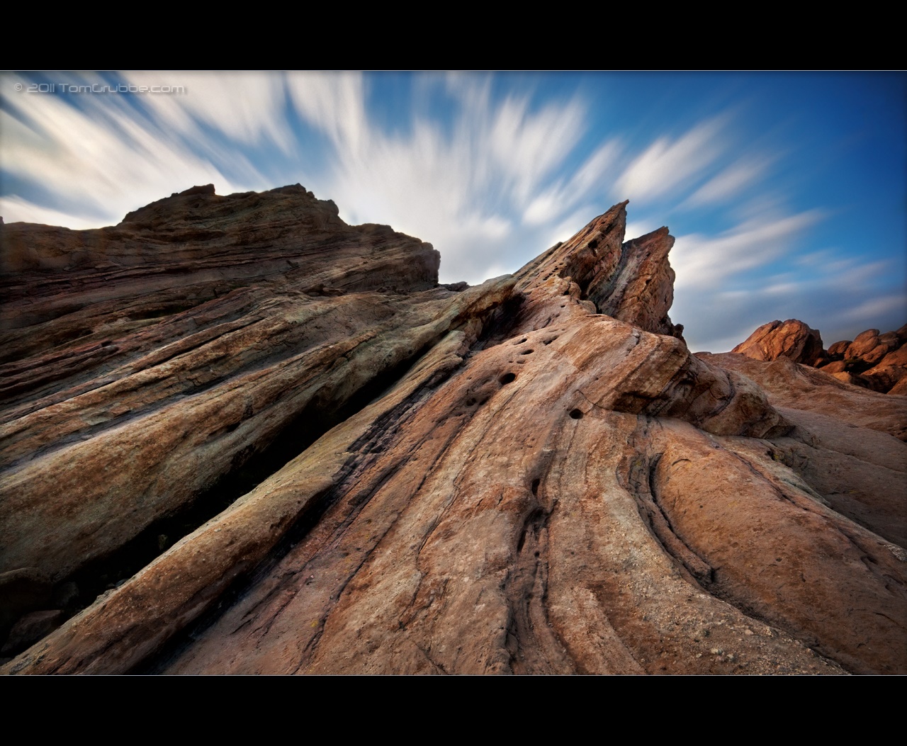
Vasquez Timescape
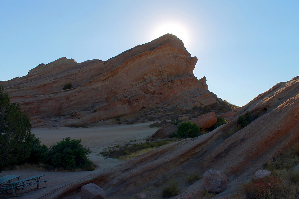
Vasquez Rocks
The gorgeous sky above So Cal // A beautiful area where they have filmed many movies: #StarTrek #Flintstones #austinpowers // #iphone via #ClearCam + #blender + #snapseed + #PhotoForge2
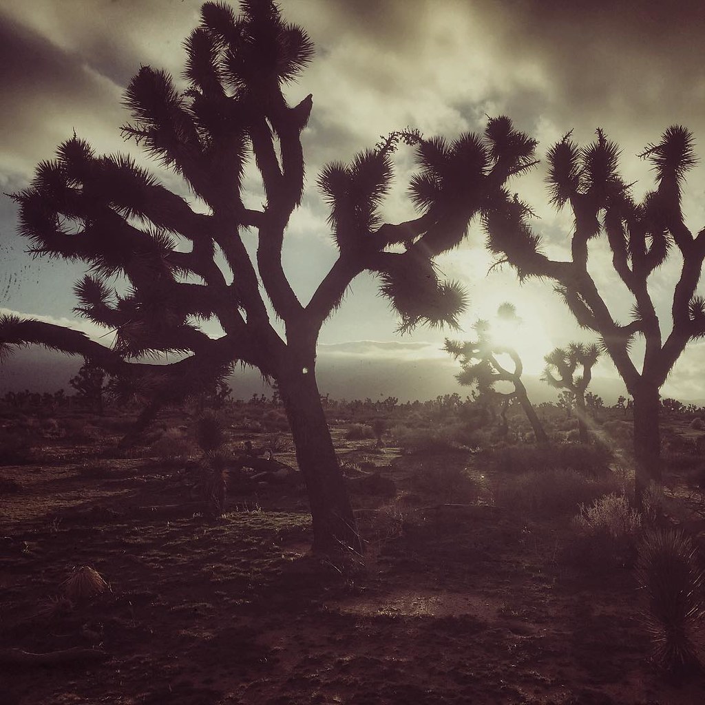
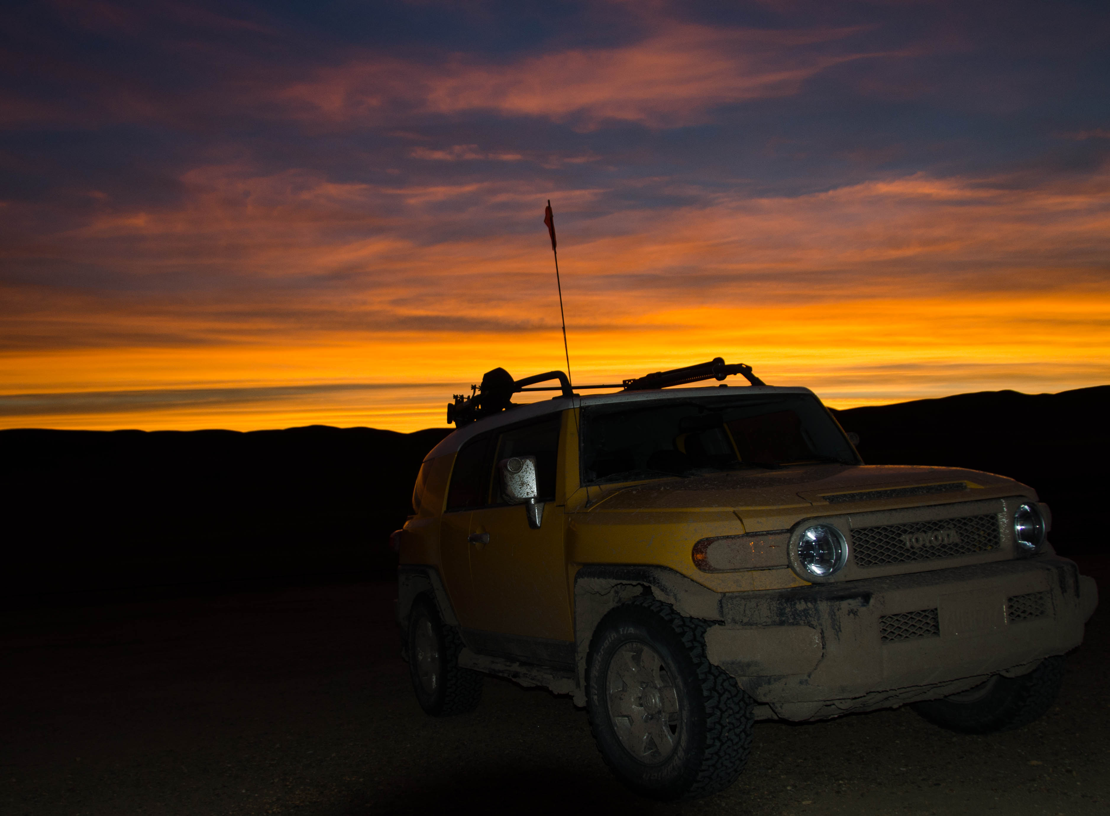
Back in the desert as this next storm system moves in just before sunset. Who knew Palmdale, CA had some many Joshua Trees?
Awesome sunrise from last Sunday before our photo shoot. #beautiful
Sunset and TidyTip
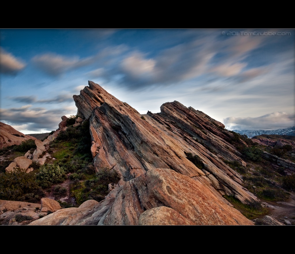
Vasquez Rocks

"Vasquez Sunset"
Fuego - Aqua Dulce
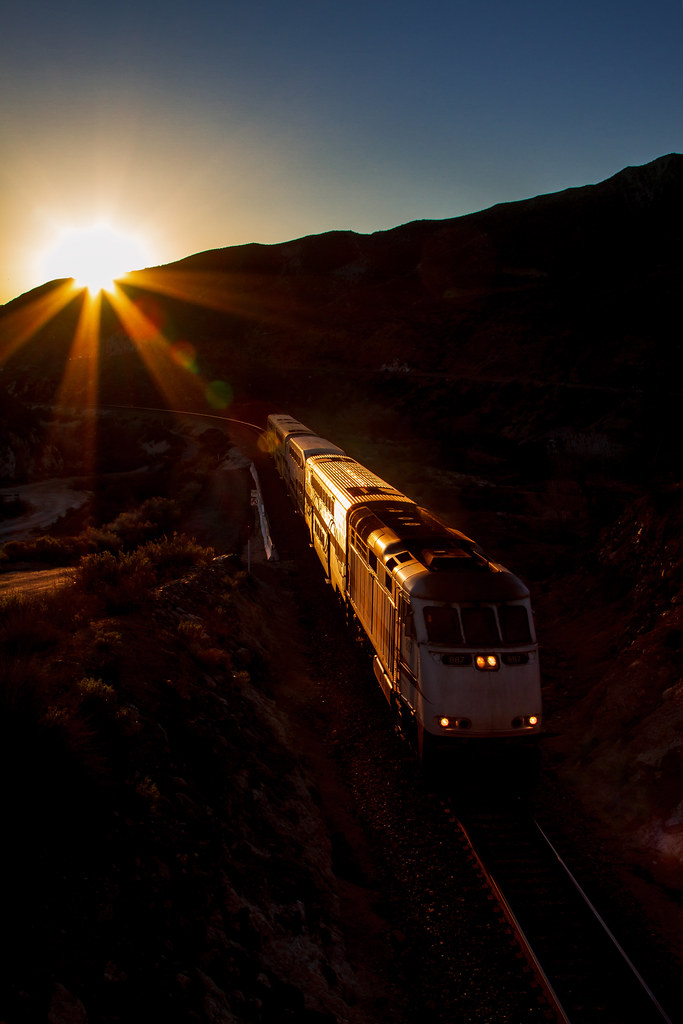
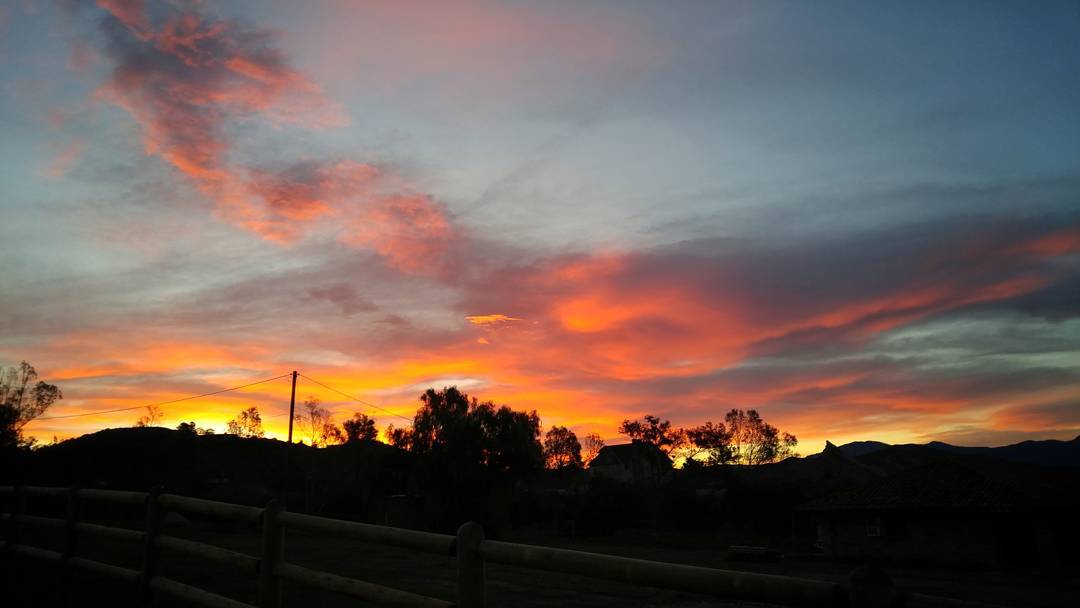
Soledad Sunset
SUNSET AT PALMDALE, CALIFORNIA
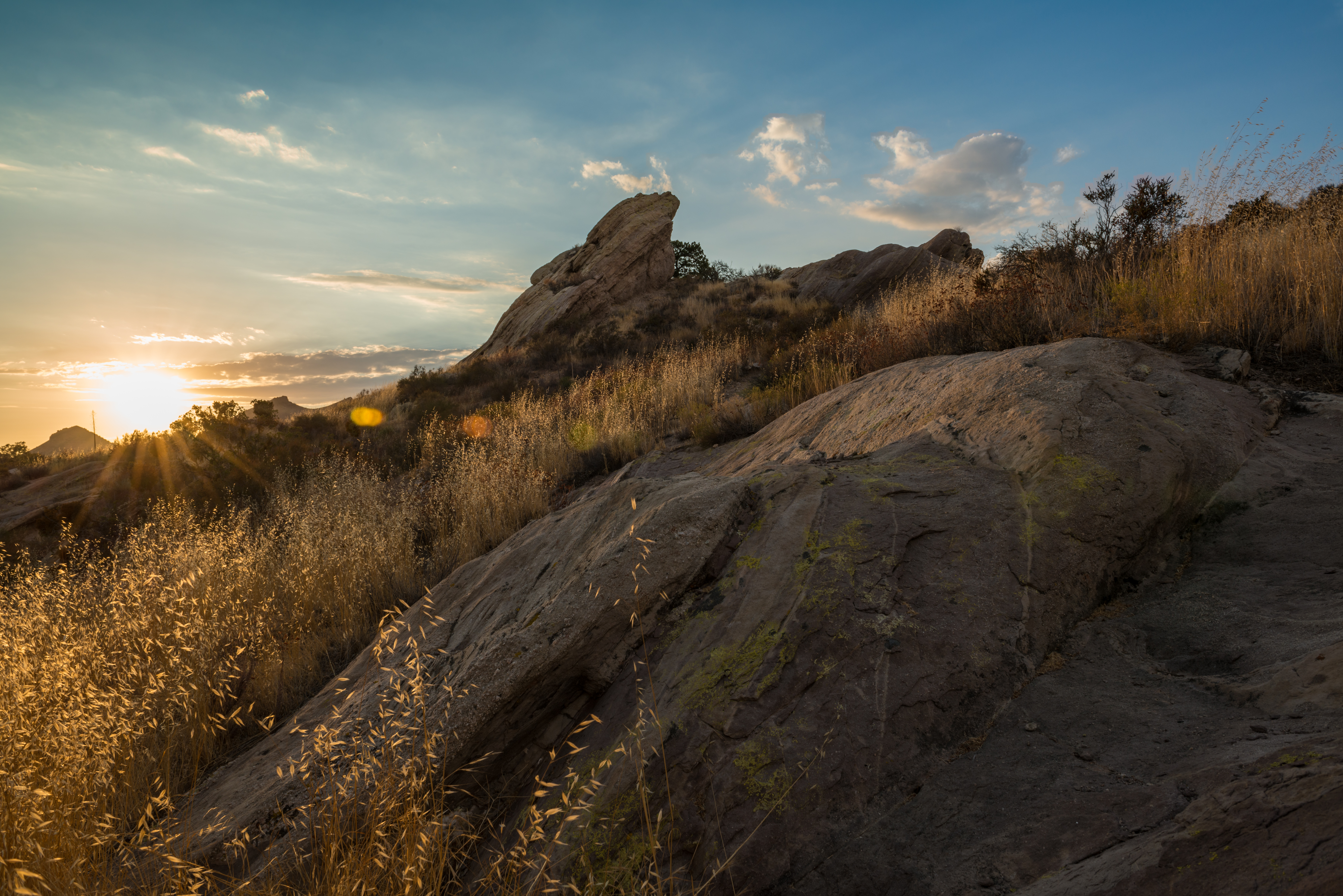
Vasquez rocks

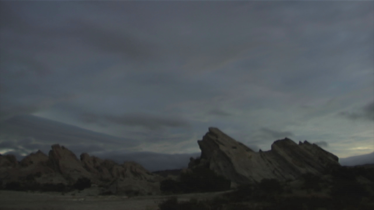
From inside a rainbow...

#sunrise #goodmorning #workingforaliving #palmdale
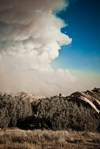
Crown Fire-11
vasquez sunrise
Vasquez 66

the sun is up .. one more opportunity from GOD

#VSCOcam High Desert sunrise.
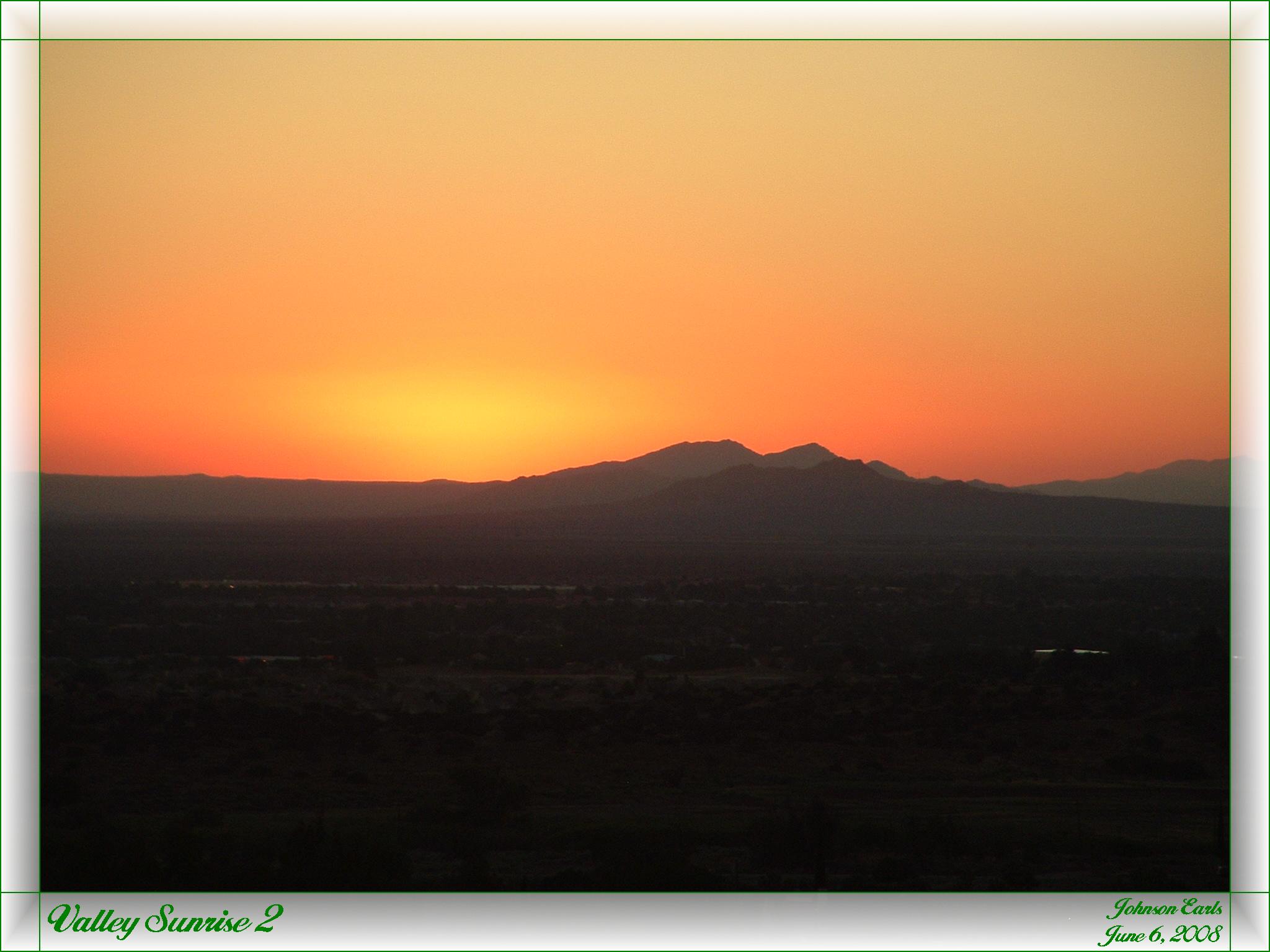
Valley Sunrise 2

Valley Sunrise 3
Crown Fire-20
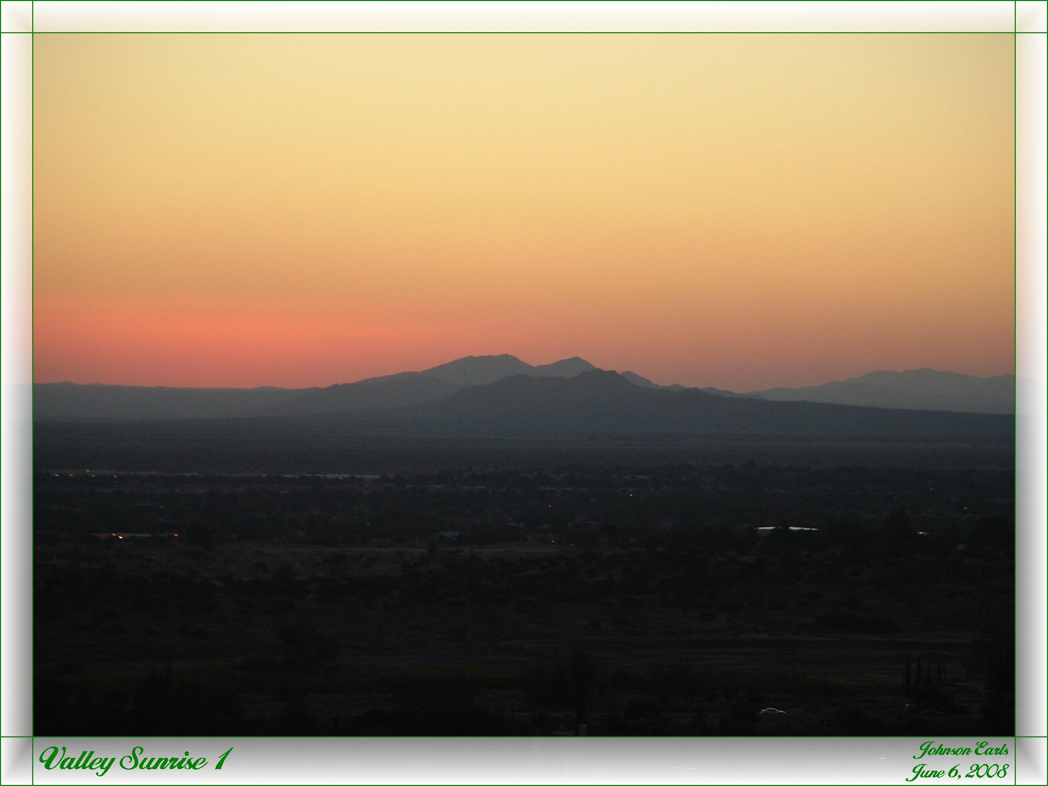
Valley Sunrise 1
アメリカ合衆国 〒 カリフォルニア州 アクトンの地図
別の場所を検索
アメリカ合衆国 〒 カリフォルニア州 アクトンでの場所
近所の場所
Soledad Canyon Rd, Acton, CA アメリカ合衆国
Cedarcroft Rd, Acton, CA アメリカ合衆国
Canter Ln, Acton, CA アメリカ合衆国
Shadow Canyon Rd, Acton, CA アメリカ合衆国
McEnnery Canyon Rd, Acton, CA アメリカ合衆国
McEnnery Canyon Rd, Acton, CA アメリカ合衆国
Acton Canyon Rd, Acton, CA アメリカ合衆国
Desert Rd, Acton, CA アメリカ合衆国
Cresta Trail, Acton, CA アメリカ合衆国
Desert Rd, Acton, CA アメリカ合衆国
Larchfork Rd, Acton, CA アメリカ合衆国
Shannon Valley Rd, Acton, CA アメリカ合衆国
Katrina St, Acton, CA アメリカ合衆国
Valley Sage Rd, Acton, CA アメリカ合衆国
Ranchitos Dr, Acton, CA アメリカ合衆国
Sierra Hwy, Santa Clarita, CA アメリカ合衆国
Via Famero Dr, Acton, CA アメリカ合衆国
Shannon Valley Rd, Acton, CA アメリカ合衆国
Peaceful Valley Rd, Palmdale, CA アメリカ合衆国
Carol Ln, Acton, CA アメリカ合衆国
最近の検索
- アメリカ合衆国 アラスカ州 レッド・ドッグ・マイン日の出日の入り時間
- Am bhf, Borken, ドイツアム・バーンホーフ日の出日の入り時間
- 4th St E, Sonoma, CA, USA日の出日の入り時間
- Oakland Ave, Williamsport, PA アメリカ合衆国日の出日の入り時間
- Via Roma, Pieranica CR, イタリアローマ通り日の出日の入り時間
- クロアチア 〒 ドゥブロブニク GradClock Tower of Dubrovnik日の出日の入り時間
- アルゼンチン チュブ州 トレリュー日の出日の入り時間
- Hartfords Bluff Cir, Mt Pleasant, SC アメリカ合衆国日の出日の入り時間
- 日本、熊本県熊本市北区日の出日の入り時間
- 中華人民共和国 福州市 平潭県 平潭島日の出日の入り時間