日本、〒- 埼玉県加須市南篠崎1134−1日の出日の入り時間
Location: 日本 > 埼玉県 > 加須市 >
時間帯:
Asia/Tokyo
現地時間:
2025-06-22 21:43:48
経度:
139.6335748
緯度:
36.1257366
今日の日の出時刻:
04:24:55 AM
今日の日の入時刻:
07:02:06 PM
今日の日長:
14h 37m 11s
明日の日の出時刻:
04:25:10 AM
明日の日の入時刻:
07:02:16 PM
明日の日長:
14h 37m 6s
すべて表示する
| 日付 | 日出 | 日没 | 日長 |
|---|---|---|---|
| 2025年01月01日 | 06:52:19 AM | 04:37:44 PM | 9h 45m 25s |
| 2025年01月02日 | 06:52:28 AM | 04:38:31 PM | 9h 46m 3s |
| 2025年01月03日 | 06:52:35 AM | 04:39:19 PM | 9h 46m 44s |
| 2025年01月04日 | 06:52:40 AM | 04:40:08 PM | 9h 47m 28s |
| 2025年01月05日 | 06:52:44 AM | 04:40:59 PM | 9h 48m 15s |
| 2025年01月06日 | 06:52:45 AM | 04:41:50 PM | 9h 49m 5s |
| 2025年01月07日 | 06:52:44 AM | 04:42:43 PM | 9h 49m 59s |
| 2025年01月08日 | 06:52:42 AM | 04:43:36 PM | 9h 50m 54s |
| 2025年01月09日 | 06:52:37 AM | 04:44:31 PM | 9h 51m 54s |
| 2025年01月10日 | 06:52:31 AM | 04:45:26 PM | 9h 52m 55s |
| 2025年01月11日 | 06:52:22 AM | 04:46:23 PM | 9h 54m 1s |
| 2025年01月12日 | 06:52:12 AM | 04:47:20 PM | 9h 55m 8s |
| 2025年01月13日 | 06:51:59 AM | 04:48:17 PM | 9h 56m 18s |
| 2025年01月14日 | 06:51:45 AM | 04:49:16 PM | 9h 57m 31s |
| 2025年01月15日 | 06:51:28 AM | 04:50:15 PM | 9h 58m 47s |
| 2025年01月16日 | 06:51:10 AM | 04:51:14 PM | 10h 0m 4s |
| 2025年01月17日 | 06:50:50 AM | 04:52:15 PM | 10h 1m 25s |
| 2025年01月18日 | 06:50:28 AM | 04:53:15 PM | 10h 2m 47s |
| 2025年01月19日 | 06:50:04 AM | 04:54:16 PM | 10h 4m 12s |
| 2025年01月20日 | 06:49:38 AM | 04:55:18 PM | 10h 5m 40s |
| 2025年01月21日 | 06:49:10 AM | 04:56:20 PM | 10h 7m 10s |
| 2025年01月22日 | 06:48:40 AM | 04:57:22 PM | 10h 8m 42s |
| 2025年01月23日 | 06:48:09 AM | 04:58:25 PM | 10h 10m 16s |
| 2025年01月24日 | 06:47:36 AM | 04:59:27 PM | 10h 11m 51s |
| 2025年01月25日 | 06:47:01 AM | 05:00:30 PM | 10h 13m 29s |
| 2025年01月26日 | 06:46:24 AM | 05:01:34 PM | 10h 15m 10s |
| 2025年01月27日 | 06:45:45 AM | 05:02:37 PM | 10h 16m 52s |
| 2025年01月28日 | 06:45:05 AM | 05:03:40 PM | 10h 18m 35s |
| 2025年01月29日 | 06:44:23 AM | 05:04:44 PM | 10h 20m 21s |
| 2025年01月30日 | 06:43:39 AM | 05:05:47 PM | 10h 22m 8s |
| 2025年01月31日 | 06:42:54 AM | 05:06:51 PM | 10h 23m 57s |
| 2025年02月01日 | 06:42:07 AM | 05:07:54 PM | 10h 25m 47s |
| 2025年02月02日 | 06:41:19 AM | 05:08:57 PM | 10h 27m 38s |
| 2025年02月03日 | 06:40:29 AM | 05:10:01 PM | 10h 29m 32s |
| 2025年02月04日 | 06:39:37 AM | 05:11:04 PM | 10h 31m 27s |
| 2025年02月05日 | 06:38:44 AM | 05:12:07 PM | 10h 33m 23s |
| 2025年02月06日 | 06:37:50 AM | 05:13:10 PM | 10h 35m 20s |
| 2025年02月07日 | 06:36:54 AM | 05:14:13 PM | 10h 37m 19s |
| 2025年02月08日 | 06:35:57 AM | 05:15:15 PM | 10h 39m 18s |
| 2025年02月09日 | 06:34:58 AM | 05:16:17 PM | 10h 41m 19s |
| 2025年02月10日 | 06:33:58 AM | 05:17:19 PM | 10h 43m 21s |
| 2025年02月11日 | 06:32:57 AM | 05:18:21 PM | 10h 45m 24s |
| 2025年02月12日 | 06:31:55 AM | 05:19:23 PM | 10h 47m 28s |
| 2025年02月13日 | 06:30:51 AM | 05:20:24 PM | 10h 49m 33s |
| 2025年02月14日 | 06:29:46 AM | 05:21:25 PM | 10h 51m 39s |
| 2025年02月15日 | 06:28:40 AM | 05:22:26 PM | 10h 53m 46s |
| 2025年02月16日 | 06:27:33 AM | 05:23:26 PM | 10h 55m 53s |
| 2025年02月17日 | 06:26:24 AM | 05:24:27 PM | 10h 58m 3s |
| 2025年02月18日 | 06:25:15 AM | 05:25:26 PM | 11h 0m 11s |
| 2025年02月19日 | 06:24:04 AM | 05:26:26 PM | 11h 2m 22s |
| 2025年02月20日 | 06:22:53 AM | 05:27:25 PM | 11h 4m 32s |
| 2025年02月21日 | 06:21:40 AM | 05:28:24 PM | 11h 6m 44s |
| 2025年02月22日 | 06:20:27 AM | 05:29:22 PM | 11h 8m 55s |
| 2025年02月23日 | 06:19:13 AM | 05:30:21 PM | 11h 11m 8s |
| 2025年02月24日 | 06:17:58 AM | 05:31:18 PM | 11h 13m 20s |
| 2025年02月25日 | 06:16:42 AM | 05:32:16 PM | 11h 15m 34s |
| 2025年02月26日 | 06:15:25 AM | 05:33:13 PM | 11h 17m 48s |
| 2025年02月27日 | 06:14:07 AM | 05:34:10 PM | 11h 20m 3s |
| 2025年02月28日 | 06:12:49 AM | 05:35:07 PM | 11h 22m 18s |
| 2025年03月01日 | 06:11:30 AM | 05:36:03 PM | 11h 24m 33s |
| 2025年03月02日 | 06:10:10 AM | 05:36:59 PM | 11h 26m 49s |
| 2025年03月03日 | 06:08:49 AM | 05:37:54 PM | 11h 29m 5s |
| 2025年03月04日 | 06:07:28 AM | 05:38:50 PM | 11h 31m 22s |
| 2025年03月05日 | 06:06:07 AM | 05:39:45 PM | 11h 33m 38s |
| 2025年03月06日 | 06:04:44 AM | 05:40:39 PM | 11h 35m 55s |
| 2025年03月07日 | 06:03:21 AM | 05:41:34 PM | 11h 38m 13s |
| 2025年03月08日 | 06:01:58 AM | 05:42:28 PM | 11h 40m 30s |
| 2025年03月09日 | 06:00:34 AM | 05:43:22 PM | 11h 42m 48s |
| 2025年03月10日 | 05:59:10 AM | 05:44:15 PM | 11h 45m 5s |
| 2025年03月11日 | 05:57:46 AM | 05:45:09 PM | 11h 47m 23s |
| 2025年03月12日 | 05:56:21 AM | 05:46:02 PM | 11h 49m 41s |
| 2025年03月13日 | 05:54:55 AM | 05:46:55 PM | 11h 52m 0s |
| 2025年03月14日 | 05:53:30 AM | 05:47:47 PM | 11h 54m 17s |
| 2025年03月15日 | 05:52:04 AM | 05:48:40 PM | 11h 56m 36s |
| 2025年03月16日 | 05:50:38 AM | 05:49:32 PM | 11h 58m 54s |
| 2025年03月17日 | 05:49:11 AM | 05:50:24 PM | 12h 1m 13s |
| 2025年03月18日 | 05:47:45 AM | 05:51:16 PM | 12h 3m 31s |
| 2025年03月19日 | 05:46:18 AM | 05:52:08 PM | 12h 5m 50s |
| 2025年03月20日 | 05:44:51 AM | 05:52:59 PM | 12h 8m 8s |
| 2025年03月21日 | 05:43:24 AM | 05:53:51 PM | 12h 10m 27s |
| 2025年03月22日 | 05:41:57 AM | 05:54:42 PM | 12h 12m 45s |
| 2025年03月23日 | 05:40:30 AM | 05:55:33 PM | 12h 15m 3s |
| 2025年03月24日 | 05:39:03 AM | 05:56:24 PM | 12h 17m 21s |
| 2025年03月25日 | 05:37:36 AM | 05:57:15 PM | 12h 19m 39s |
| 2025年03月26日 | 05:36:09 AM | 05:58:06 PM | 12h 21m 57s |
| 2025年03月27日 | 05:34:42 AM | 05:58:57 PM | 12h 24m 15s |
| 2025年03月28日 | 05:33:15 AM | 05:59:48 PM | 12h 26m 33s |
| 2025年03月29日 | 05:31:48 AM | 06:00:38 PM | 12h 28m 50s |
| 2025年03月30日 | 05:30:21 AM | 06:01:29 PM | 12h 31m 8s |
| 2025年03月31日 | 05:28:55 AM | 06:02:19 PM | 12h 33m 24s |
| 2025年04月01日 | 05:27:29 AM | 06:03:10 PM | 12h 35m 41s |
| 2025年04月02日 | 05:26:03 AM | 06:04:00 PM | 12h 37m 57s |
| 2025年04月03日 | 05:24:37 AM | 06:04:51 PM | 12h 40m 14s |
| 2025年04月04日 | 05:23:12 AM | 06:05:42 PM | 12h 42m 30s |
| 2025年04月05日 | 05:21:46 AM | 06:06:32 PM | 12h 44m 46s |
| 2025年04月06日 | 05:20:22 AM | 06:07:23 PM | 12h 47m 1s |
| 2025年04月07日 | 05:18:57 AM | 06:08:13 PM | 12h 49m 16s |
| 2025年04月08日 | 05:17:34 AM | 06:09:04 PM | 12h 51m 30s |
| 2025年04月09日 | 05:16:10 AM | 06:09:54 PM | 12h 53m 44s |
| 2025年04月10日 | 05:14:47 AM | 06:10:45 PM | 12h 55m 58s |
| 2025年04月11日 | 05:13:25 AM | 06:11:36 PM | 12h 58m 11s |
| 2025年04月12日 | 05:12:03 AM | 06:12:26 PM | 13h 0m 23s |
| 2025年04月13日 | 05:10:42 AM | 06:13:17 PM | 13h 2m 35s |
| 2025年04月14日 | 05:09:21 AM | 06:14:08 PM | 13h 4m 47s |
| 2025年04月15日 | 05:08:01 AM | 06:14:59 PM | 13h 6m 58s |
| 2025年04月16日 | 05:06:41 AM | 06:15:50 PM | 13h 9m 9s |
| 2025年04月17日 | 05:05:23 AM | 06:16:41 PM | 13h 11m 18s |
| 2025年04月18日 | 05:04:05 AM | 06:17:32 PM | 13h 13m 27s |
| 2025年04月19日 | 05:02:47 AM | 06:18:23 PM | 13h 15m 36s |
| 2025年04月20日 | 05:01:31 AM | 06:19:14 PM | 13h 17m 43s |
| 2025年04月21日 | 05:00:15 AM | 06:20:05 PM | 13h 19m 50s |
| 2025年04月22日 | 04:59:00 AM | 06:20:56 PM | 13h 21m 56s |
| 2025年04月23日 | 04:57:46 AM | 06:21:48 PM | 13h 24m 2s |
| 2025年04月24日 | 04:56:33 AM | 06:22:39 PM | 13h 26m 6s |
| 2025年04月25日 | 04:55:21 AM | 06:23:30 PM | 13h 28m 9s |
| 2025年04月26日 | 04:54:10 AM | 06:24:22 PM | 13h 30m 12s |
| 2025年04月27日 | 04:53:00 AM | 06:25:13 PM | 13h 32m 13s |
| 2025年04月28日 | 04:51:50 AM | 06:26:04 PM | 13h 34m 14s |
| 2025年04月29日 | 04:50:42 AM | 06:26:56 PM | 13h 36m 14s |
| 2025年04月30日 | 04:49:35 AM | 06:27:47 PM | 13h 38m 12s |
| 2025年05月01日 | 04:48:29 AM | 06:28:39 PM | 13h 40m 10s |
| 2025年05月02日 | 04:47:24 AM | 06:29:30 PM | 13h 42m 6s |
| 2025年05月03日 | 04:46:20 AM | 06:30:21 PM | 13h 44m 1s |
| 2025年05月04日 | 04:45:18 AM | 06:31:12 PM | 13h 45m 54s |
| 2025年05月05日 | 04:44:16 AM | 06:32:03 PM | 13h 47m 47s |
| 2025年05月06日 | 04:43:16 AM | 06:32:54 PM | 13h 49m 38s |
| 2025年05月07日 | 04:42:17 AM | 06:33:45 PM | 13h 51m 28s |
| 2025年05月08日 | 04:41:20 AM | 06:34:36 PM | 13h 53m 16s |
| 2025年05月09日 | 04:40:23 AM | 06:35:26 PM | 13h 55m 3s |
| 2025年05月10日 | 04:39:28 AM | 06:36:17 PM | 13h 56m 49s |
| 2025年05月11日 | 04:38:35 AM | 06:37:07 PM | 13h 58m 32s |
| 2025年05月12日 | 04:37:42 AM | 06:37:57 PM | 14h 0m 15s |
| 2025年05月13日 | 04:36:51 AM | 06:38:46 PM | 14h 1m 55s |
| 2025年05月14日 | 04:36:02 AM | 06:39:36 PM | 14h 3m 34s |
| 2025年05月15日 | 04:35:14 AM | 06:40:25 PM | 14h 5m 11s |
| 2025年05月16日 | 04:34:28 AM | 06:41:13 PM | 14h 6m 45s |
| 2025年05月17日 | 04:33:42 AM | 06:42:02 PM | 14h 8m 20s |
| 2025年05月18日 | 04:32:59 AM | 06:42:50 PM | 14h 9m 51s |
| 2025年05月19日 | 04:32:17 AM | 06:43:37 PM | 14h 11m 20s |
| 2025年05月20日 | 04:31:37 AM | 06:44:24 PM | 14h 12m 47s |
| 2025年05月21日 | 04:30:58 AM | 06:45:11 PM | 14h 14m 13s |
| 2025年05月22日 | 04:30:21 AM | 06:45:57 PM | 14h 15m 36s |
| 2025年05月23日 | 04:29:45 AM | 06:46:42 PM | 14h 16m 57s |
| 2025年05月24日 | 04:29:11 AM | 06:47:27 PM | 14h 18m 16s |
| 2025年05月25日 | 04:28:38 AM | 06:48:11 PM | 14h 19m 33s |
| 2025年05月26日 | 04:28:08 AM | 06:48:55 PM | 14h 20m 47s |
| 2025年05月27日 | 04:27:39 AM | 06:49:37 PM | 14h 21m 58s |
| 2025年05月28日 | 04:27:11 AM | 06:50:20 PM | 14h 23m 9s |
| 2025年05月29日 | 04:26:45 AM | 06:51:01 PM | 14h 24m 16s |
| 2025年05月30日 | 04:26:21 AM | 06:51:41 PM | 14h 25m 20s |
| 2025年05月31日 | 04:25:59 AM | 06:52:21 PM | 14h 26m 22s |
| 2025年06月01日 | 04:25:38 AM | 06:53:00 PM | 14h 27m 22s |
| 2025年06月02日 | 04:25:19 AM | 06:53:38 PM | 14h 28m 19s |
| 2025年06月03日 | 04:25:02 AM | 06:54:15 PM | 14h 29m 13s |
| 2025年06月04日 | 04:24:47 AM | 06:54:50 PM | 14h 30m 3s |
| 2025年06月05日 | 04:24:33 AM | 06:55:25 PM | 14h 30m 52s |
| 2025年06月06日 | 04:24:21 AM | 06:55:59 PM | 14h 31m 38s |
| 2025年06月07日 | 04:24:10 AM | 06:56:32 PM | 14h 32m 22s |
| 2025年06月08日 | 04:24:02 AM | 06:57:03 PM | 14h 33m 1s |
| 2025年06月09日 | 04:23:55 AM | 06:57:34 PM | 14h 33m 39s |
| 2025年06月10日 | 04:23:50 AM | 06:58:03 PM | 14h 34m 13s |
| 2025年06月11日 | 04:23:46 AM | 06:58:31 PM | 14h 34m 45s |
| 2025年06月12日 | 04:23:44 AM | 06:58:57 PM | 14h 35m 13s |
| 2025年06月13日 | 04:23:44 AM | 06:59:22 PM | 14h 35m 38s |
| 2025年06月14日 | 04:23:45 AM | 06:59:46 PM | 14h 36m 1s |
| 2025年06月15日 | 04:23:48 AM | 07:00:09 PM | 14h 36m 21s |
| 2025年06月16日 | 04:23:53 AM | 07:00:30 PM | 14h 36m 37s |
| 2025年06月17日 | 04:23:59 AM | 07:00:50 PM | 14h 36m 51s |
| 2025年06月18日 | 04:24:07 AM | 07:01:08 PM | 14h 37m 1s |
| 2025年06月19日 | 04:24:17 AM | 07:01:25 PM | 14h 37m 8s |
| 2025年06月20日 | 04:24:28 AM | 07:01:40 PM | 14h 37m 12s |
| 2025年06月21日 | 04:24:40 AM | 07:01:53 PM | 14h 37m 13s |
| 2025年06月22日 | 04:24:54 AM | 07:02:05 PM | 14h 37m 11s |
| 2025年06月23日 | 04:25:10 AM | 07:02:16 PM | 14h 37m 6s |
| 2025年06月24日 | 04:25:27 AM | 07:02:25 PM | 14h 36m 58s |
| 2025年06月25日 | 04:25:45 AM | 07:02:32 PM | 14h 36m 47s |
| 2025年06月26日 | 04:26:05 AM | 07:02:38 PM | 14h 36m 33s |
| 2025年06月27日 | 04:26:26 AM | 07:02:41 PM | 14h 36m 15s |
| 2025年06月28日 | 04:26:48 AM | 07:02:44 PM | 14h 35m 56s |
| 2025年06月29日 | 04:27:12 AM | 07:02:44 PM | 14h 35m 32s |
| 2025年06月30日 | 04:27:37 AM | 07:02:43 PM | 14h 35m 6s |
| 2025年07月01日 | 04:28:03 AM | 07:02:40 PM | 14h 34m 37s |
| 2025年07月02日 | 04:28:31 AM | 07:02:35 PM | 14h 34m 4s |
| 2025年07月03日 | 04:28:59 AM | 07:02:29 PM | 14h 33m 30s |
| 2025年07月04日 | 04:29:29 AM | 07:02:21 PM | 14h 32m 52s |
| 2025年07月05日 | 04:30:00 AM | 07:02:11 PM | 14h 32m 11s |
| 2025年07月06日 | 04:30:32 AM | 07:01:59 PM | 14h 31m 27s |
| 2025年07月07日 | 04:31:05 AM | 07:01:46 PM | 14h 30m 41s |
| 2025年07月08日 | 04:31:39 AM | 07:01:31 PM | 14h 29m 52s |
| 2025年07月09日 | 04:32:14 AM | 07:01:14 PM | 14h 29m 0s |
| 2025年07月10日 | 04:32:50 AM | 07:00:55 PM | 14h 28m 5s |
| 2025年07月11日 | 04:33:26 AM | 07:00:35 PM | 14h 27m 9s |
| 2025年07月12日 | 04:34:04 AM | 07:00:13 PM | 14h 26m 9s |
| 2025年07月13日 | 04:34:42 AM | 06:59:49 PM | 14h 25m 7s |
| 2025年07月14日 | 04:35:21 AM | 06:59:23 PM | 14h 24m 2s |
| 2025年07月15日 | 04:36:01 AM | 06:58:56 PM | 14h 22m 55s |
| 2025年07月16日 | 04:36:42 AM | 06:58:27 PM | 14h 21m 45s |
| 2025年07月17日 | 04:37:23 AM | 06:57:56 PM | 14h 20m 33s |
| 2025年07月18日 | 04:38:05 AM | 06:57:23 PM | 14h 19m 18s |
| 2025年07月19日 | 04:38:47 AM | 06:56:49 PM | 14h 18m 2s |
| 2025年07月20日 | 04:39:30 AM | 06:56:14 PM | 14h 16m 44s |
| 2025年07月21日 | 04:40:13 AM | 06:55:36 PM | 14h 15m 23s |
| 2025年07月22日 | 04:40:57 AM | 06:54:57 PM | 14h 14m 0s |
| 2025年07月23日 | 04:41:42 AM | 06:54:17 PM | 14h 12m 35s |
| 2025年07月24日 | 04:42:26 AM | 06:53:34 PM | 14h 11m 8s |
| 2025年07月25日 | 04:43:12 AM | 06:52:51 PM | 14h 9m 39s |
| 2025年07月26日 | 04:43:57 AM | 06:52:05 PM | 14h 8m 8s |
| 2025年07月27日 | 04:44:43 AM | 06:51:18 PM | 14h 6m 35s |
| 2025年07月28日 | 04:45:29 AM | 06:50:30 PM | 14h 5m 1s |
| 2025年07月29日 | 04:46:16 AM | 06:49:40 PM | 14h 3m 24s |
| 2025年07月30日 | 04:47:02 AM | 06:48:49 PM | 14h 1m 47s |
| 2025年07月31日 | 04:47:49 AM | 06:47:56 PM | 14h 0m 7s |
| 2025年08月01日 | 04:48:36 AM | 06:47:02 PM | 13h 58m 26s |
| 2025年08月02日 | 04:49:24 AM | 06:46:06 PM | 13h 56m 42s |
| 2025年08月03日 | 04:50:11 AM | 06:45:10 PM | 13h 54m 59s |
| 2025年08月04日 | 04:50:59 AM | 06:44:11 PM | 13h 53m 12s |
| 2025年08月05日 | 04:51:46 AM | 06:43:12 PM | 13h 51m 26s |
| 2025年08月06日 | 04:52:34 AM | 06:42:11 PM | 13h 49m 37s |
| 2025年08月07日 | 04:53:22 AM | 06:41:09 PM | 13h 47m 47s |
| 2025年08月08日 | 04:54:10 AM | 06:40:05 PM | 13h 45m 55s |
| 2025年08月09日 | 04:54:58 AM | 06:39:01 PM | 13h 44m 3s |
| 2025年08月10日 | 04:55:46 AM | 06:37:55 PM | 13h 42m 9s |
| 2025年08月11日 | 04:56:34 AM | 06:36:48 PM | 13h 40m 14s |
| 2025年08月12日 | 04:57:22 AM | 06:35:40 PM | 13h 38m 18s |
| 2025年08月13日 | 04:58:10 AM | 06:34:31 PM | 13h 36m 21s |
| 2025年08月14日 | 04:58:58 AM | 06:33:21 PM | 13h 34m 23s |
| 2025年08月15日 | 04:59:45 AM | 06:32:10 PM | 13h 32m 25s |
| 2025年08月16日 | 05:00:33 AM | 06:30:58 PM | 13h 30m 25s |
| 2025年08月17日 | 05:01:21 AM | 06:29:44 PM | 13h 28m 23s |
| 2025年08月18日 | 05:02:09 AM | 06:28:30 PM | 13h 26m 21s |
| 2025年08月19日 | 05:02:56 AM | 06:27:15 PM | 13h 24m 19s |
| 2025年08月20日 | 05:03:44 AM | 06:25:59 PM | 13h 22m 15s |
| 2025年08月21日 | 05:04:31 AM | 06:24:42 PM | 13h 20m 11s |
| 2025年08月22日 | 05:05:19 AM | 06:23:25 PM | 13h 18m 6s |
| 2025年08月23日 | 05:06:06 AM | 06:22:06 PM | 13h 16m 0s |
| 2025年08月24日 | 05:06:53 AM | 06:20:47 PM | 13h 13m 54s |
| 2025年08月25日 | 05:07:40 AM | 06:19:27 PM | 13h 11m 47s |
| 2025年08月26日 | 05:08:27 AM | 06:18:06 PM | 13h 9m 39s |
| 2025年08月27日 | 05:09:14 AM | 06:16:45 PM | 13h 7m 31s |
| 2025年08月28日 | 05:10:01 AM | 06:15:23 PM | 13h 5m 22s |
| 2025年08月29日 | 05:10:48 AM | 06:14:00 PM | 13h 3m 12s |
| 2025年08月30日 | 05:11:35 AM | 06:12:37 PM | 13h 1m 2s |
| 2025年08月31日 | 05:12:21 AM | 06:11:13 PM | 12h 58m 52s |
| 2025年09月01日 | 05:13:08 AM | 06:09:48 PM | 12h 56m 40s |
| 2025年09月02日 | 05:13:55 AM | 06:08:23 PM | 12h 54m 28s |
| 2025年09月03日 | 05:14:41 AM | 06:06:58 PM | 12h 52m 17s |
| 2025年09月04日 | 05:15:27 AM | 06:05:32 PM | 12h 50m 5s |
| 2025年09月05日 | 05:16:14 AM | 06:04:05 PM | 12h 47m 51s |
| 2025年09月06日 | 05:17:00 AM | 06:02:39 PM | 12h 45m 39s |
| 2025年09月07日 | 05:17:46 AM | 06:01:11 PM | 12h 43m 25s |
| 2025年09月08日 | 05:18:32 AM | 05:59:44 PM | 12h 41m 12s |
| 2025年09月09日 | 05:19:19 AM | 05:58:16 PM | 12h 38m 57s |
| 2025年09月10日 | 05:20:05 AM | 05:56:48 PM | 12h 36m 43s |
| 2025年09月11日 | 05:20:51 AM | 05:55:20 PM | 12h 34m 29s |
| 2025年09月12日 | 05:21:37 AM | 05:53:51 PM | 12h 32m 14s |
| 2025年09月13日 | 05:22:24 AM | 05:52:22 PM | 12h 29m 58s |
| 2025年09月14日 | 05:23:10 AM | 05:50:53 PM | 12h 27m 43s |
| 2025年09月15日 | 05:23:56 AM | 05:49:24 PM | 12h 25m 28s |
| 2025年09月16日 | 05:24:42 AM | 05:47:55 PM | 12h 23m 13s |
| 2025年09月17日 | 05:25:29 AM | 05:46:26 PM | 12h 20m 57s |
| 2025年09月18日 | 05:26:15 AM | 05:44:56 PM | 12h 18m 41s |
| 2025年09月19日 | 05:27:02 AM | 05:43:27 PM | 12h 16m 25s |
| 2025年09月20日 | 05:27:49 AM | 05:41:57 PM | 12h 14m 8s |
| 2025年09月21日 | 05:28:35 AM | 05:40:28 PM | 12h 11m 53s |
| 2025年09月22日 | 05:29:22 AM | 05:38:59 PM | 12h 9m 37s |
| 2025年09月23日 | 05:30:09 AM | 05:37:29 PM | 12h 7m 20s |
| 2025年09月24日 | 05:30:57 AM | 05:36:00 PM | 12h 5m 3s |
| 2025年09月25日 | 05:31:44 AM | 05:34:31 PM | 12h 2m 47s |
| 2025年09月26日 | 05:32:32 AM | 05:33:02 PM | 12h 0m 30s |
| 2025年09月27日 | 05:33:19 AM | 05:31:34 PM | 11h 58m 15s |
| 2025年09月28日 | 05:34:07 AM | 05:30:05 PM | 11h 55m 58s |
| 2025年09月29日 | 05:34:55 AM | 05:28:37 PM | 11h 53m 42s |
| 2025年09月30日 | 05:35:44 AM | 05:27:09 PM | 11h 51m 25s |
| 2025年10月01日 | 05:36:32 AM | 05:25:42 PM | 11h 49m 10s |
| 2025年10月02日 | 05:37:21 AM | 05:24:15 PM | 11h 46m 54s |
| 2025年10月03日 | 05:38:10 AM | 05:22:48 PM | 11h 44m 38s |
| 2025年10月04日 | 05:38:59 AM | 05:21:21 PM | 11h 42m 22s |
| 2025年10月05日 | 05:39:49 AM | 05:19:55 PM | 11h 40m 6s |
| 2025年10月06日 | 05:40:39 AM | 05:18:30 PM | 11h 37m 51s |
| 2025年10月07日 | 05:41:29 AM | 05:17:05 PM | 11h 35m 36s |
| 2025年10月08日 | 05:42:19 AM | 05:15:40 PM | 11h 33m 21s |
| 2025年10月09日 | 05:43:10 AM | 05:14:17 PM | 11h 31m 7s |
| 2025年10月10日 | 05:44:01 AM | 05:12:53 PM | 11h 28m 52s |
| 2025年10月11日 | 05:44:52 AM | 05:11:31 PM | 11h 26m 39s |
| 2025年10月12日 | 05:45:44 AM | 05:10:09 PM | 11h 24m 25s |
| 2025年10月13日 | 05:46:36 AM | 05:08:47 PM | 11h 22m 11s |
| 2025年10月14日 | 05:47:28 AM | 05:07:27 PM | 11h 19m 59s |
| 2025年10月15日 | 05:48:21 AM | 05:06:07 PM | 11h 17m 46s |
| 2025年10月16日 | 05:49:14 AM | 05:04:48 PM | 11h 15m 34s |
| 2025年10月17日 | 05:50:08 AM | 05:03:29 PM | 11h 13m 21s |
| 2025年10月18日 | 05:51:01 AM | 05:02:12 PM | 11h 11m 11s |
| 2025年10月19日 | 05:51:55 AM | 05:00:55 PM | 11h 9m 0s |
| 2025年10月20日 | 05:52:50 AM | 04:59:40 PM | 11h 6m 50s |
| 2025年10月21日 | 05:53:45 AM | 04:58:25 PM | 11h 4m 40s |
| 2025年10月22日 | 05:54:40 AM | 04:57:11 PM | 11h 2m 31s |
| 2025年10月23日 | 05:55:36 AM | 04:55:58 PM | 11h 0m 22s |
| 2025年10月24日 | 05:56:31 AM | 04:54:47 PM | 10h 58m 16s |
| 2025年10月25日 | 05:57:28 AM | 04:53:36 PM | 10h 56m 8s |
| 2025年10月26日 | 05:58:24 AM | 04:52:26 PM | 10h 54m 2s |
| 2025年10月27日 | 05:59:21 AM | 04:51:18 PM | 10h 51m 57s |
| 2025年10月28日 | 06:00:18 AM | 04:50:11 PM | 10h 49m 53s |
| 2025年10月29日 | 06:01:16 AM | 04:49:05 PM | 10h 47m 49s |
| 2025年10月30日 | 06:02:14 AM | 04:48:00 PM | 10h 45m 46s |
| 2025年10月31日 | 06:03:12 AM | 04:46:56 PM | 10h 43m 44s |
| 2025年11月01日 | 06:04:11 AM | 04:45:54 PM | 10h 41m 43s |
| 2025年11月02日 | 06:05:09 AM | 04:44:53 PM | 10h 39m 44s |
| 2025年11月03日 | 06:06:08 AM | 04:43:53 PM | 10h 37m 45s |
| 2025年11月04日 | 06:07:08 AM | 04:42:55 PM | 10h 35m 47s |
| 2025年11月05日 | 06:08:07 AM | 04:41:58 PM | 10h 33m 51s |
| 2025年11月06日 | 06:09:07 AM | 04:41:03 PM | 10h 31m 56s |
| 2025年11月07日 | 06:10:07 AM | 04:40:09 PM | 10h 30m 2s |
| 2025年11月08日 | 06:11:07 AM | 04:39:17 PM | 10h 28m 10s |
| 2025年11月09日 | 06:12:07 AM | 04:38:26 PM | 10h 26m 19s |
| 2025年11月10日 | 06:13:07 AM | 04:37:37 PM | 10h 24m 30s |
| 2025年11月11日 | 06:14:08 AM | 04:36:49 PM | 10h 22m 41s |
| 2025年11月12日 | 06:15:08 AM | 04:36:03 PM | 10h 20m 55s |
| 2025年11月13日 | 06:16:09 AM | 04:35:19 PM | 10h 19m 10s |
| 2025年11月14日 | 06:17:09 AM | 04:34:36 PM | 10h 17m 27s |
| 2025年11月15日 | 06:18:10 AM | 04:33:55 PM | 10h 15m 45s |
| 2025年11月16日 | 06:19:10 AM | 04:33:16 PM | 10h 14m 6s |
| 2025年11月17日 | 06:20:11 AM | 04:32:38 PM | 10h 12m 27s |
| 2025年11月18日 | 06:21:11 AM | 04:32:03 PM | 10h 10m 52s |
| 2025年11月19日 | 06:22:11 AM | 04:31:29 PM | 10h 9m 18s |
| 2025年11月20日 | 06:23:11 AM | 04:30:57 PM | 10h 7m 46s |
| 2025年11月21日 | 06:24:11 AM | 04:30:27 PM | 10h 6m 16s |
| 2025年11月22日 | 06:25:10 AM | 04:29:58 PM | 10h 4m 48s |
| 2025年11月23日 | 06:26:09 AM | 04:29:32 PM | 10h 3m 23s |
| 2025年11月24日 | 06:27:08 AM | 04:29:07 PM | 10h 1m 59s |
| 2025年11月25日 | 06:28:06 AM | 04:28:45 PM | 10h 0m 39s |
| 2025年11月26日 | 06:29:04 AM | 04:28:24 PM | 9h 59m 20s |
| 2025年11月27日 | 06:30:02 AM | 04:28:06 PM | 9h 58m 4s |
| 2025年11月28日 | 06:30:59 AM | 04:27:49 PM | 9h 56m 50s |
| 2025年11月29日 | 06:31:55 AM | 04:27:34 PM | 9h 55m 39s |
| 2025年11月30日 | 06:32:51 AM | 04:27:22 PM | 9h 54m 31s |
| 2025年12月01日 | 06:33:45 AM | 04:27:11 PM | 9h 53m 26s |
| 2025年12月02日 | 06:34:40 AM | 04:27:02 PM | 9h 52m 22s |
| 2025年12月03日 | 06:35:33 AM | 04:26:56 PM | 9h 51m 23s |
| 2025年12月04日 | 06:36:26 AM | 04:26:51 PM | 9h 50m 25s |
| 2025年12月05日 | 06:37:18 AM | 04:26:48 PM | 9h 49m 30s |
| 2025年12月06日 | 06:38:08 AM | 04:26:48 PM | 9h 48m 40s |
| 2025年12月07日 | 06:38:58 AM | 04:26:49 PM | 9h 47m 51s |
| 2025年12月08日 | 06:39:47 AM | 04:26:53 PM | 9h 47m 6s |
| 2025年12月09日 | 06:40:35 AM | 04:26:58 PM | 9h 46m 23s |
| 2025年12月10日 | 06:41:21 AM | 04:27:06 PM | 9h 45m 45s |
| 2025年12月11日 | 06:42:07 AM | 04:27:15 PM | 9h 45m 8s |
| 2025年12月12日 | 06:42:51 AM | 04:27:26 PM | 9h 44m 35s |
| 2025年12月13日 | 06:43:34 AM | 04:27:40 PM | 9h 44m 6s |
| 2025年12月14日 | 06:44:16 AM | 04:27:55 PM | 9h 43m 39s |
| 2025年12月15日 | 06:44:56 AM | 04:28:12 PM | 9h 43m 16s |
| 2025年12月16日 | 06:45:35 AM | 04:28:31 PM | 9h 42m 56s |
| 2025年12月17日 | 06:46:12 AM | 04:28:52 PM | 9h 42m 40s |
| 2025年12月18日 | 06:46:48 AM | 04:29:15 PM | 9h 42m 27s |
| 2025年12月19日 | 06:47:23 AM | 04:29:40 PM | 9h 42m 17s |
| 2025年12月20日 | 06:47:56 AM | 04:30:07 PM | 9h 42m 11s |
| 2025年12月21日 | 06:48:27 AM | 04:30:35 PM | 9h 42m 8s |
| 2025年12月22日 | 06:48:57 AM | 04:31:05 PM | 9h 42m 8s |
| 2025年12月23日 | 06:49:25 AM | 04:31:37 PM | 9h 42m 12s |
| 2025年12月24日 | 06:49:51 AM | 04:32:10 PM | 9h 42m 19s |
| 2025年12月25日 | 06:50:15 AM | 04:32:45 PM | 9h 42m 30s |
| 2025年12月26日 | 06:50:38 AM | 04:33:22 PM | 9h 42m 44s |
| 2025年12月27日 | 06:50:59 AM | 04:34:00 PM | 9h 43m 1s |
| 2025年12月28日 | 06:51:18 AM | 04:34:40 PM | 9h 43m 22s |
| 2025年12月29日 | 06:51:35 AM | 04:35:21 PM | 9h 43m 46s |
| 2025年12月30日 | 06:51:51 AM | 04:36:03 PM | 9h 44m 12s |
| 2025年12月31日 | 06:52:04 AM | 04:36:47 PM | 9h 44m 43s |
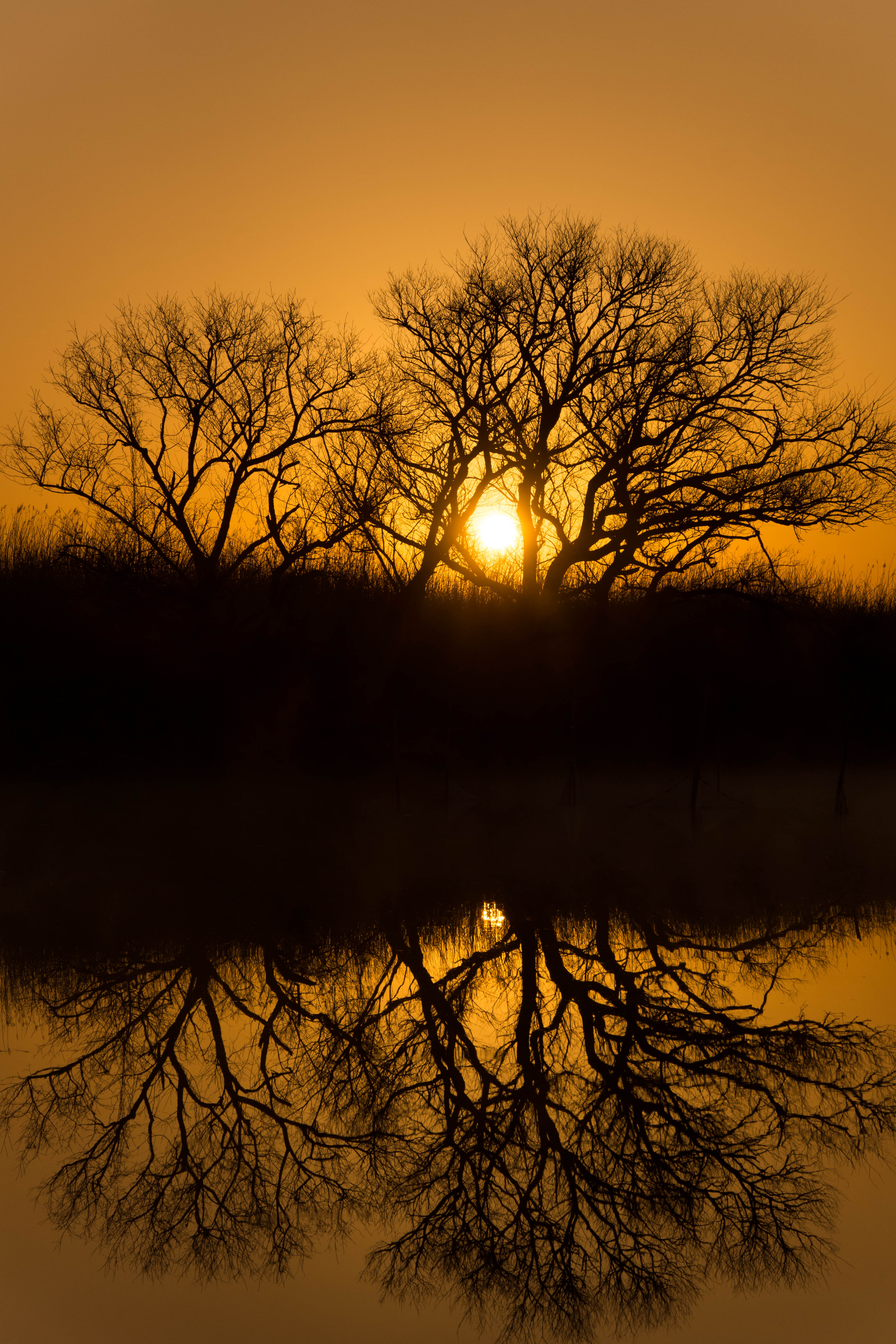
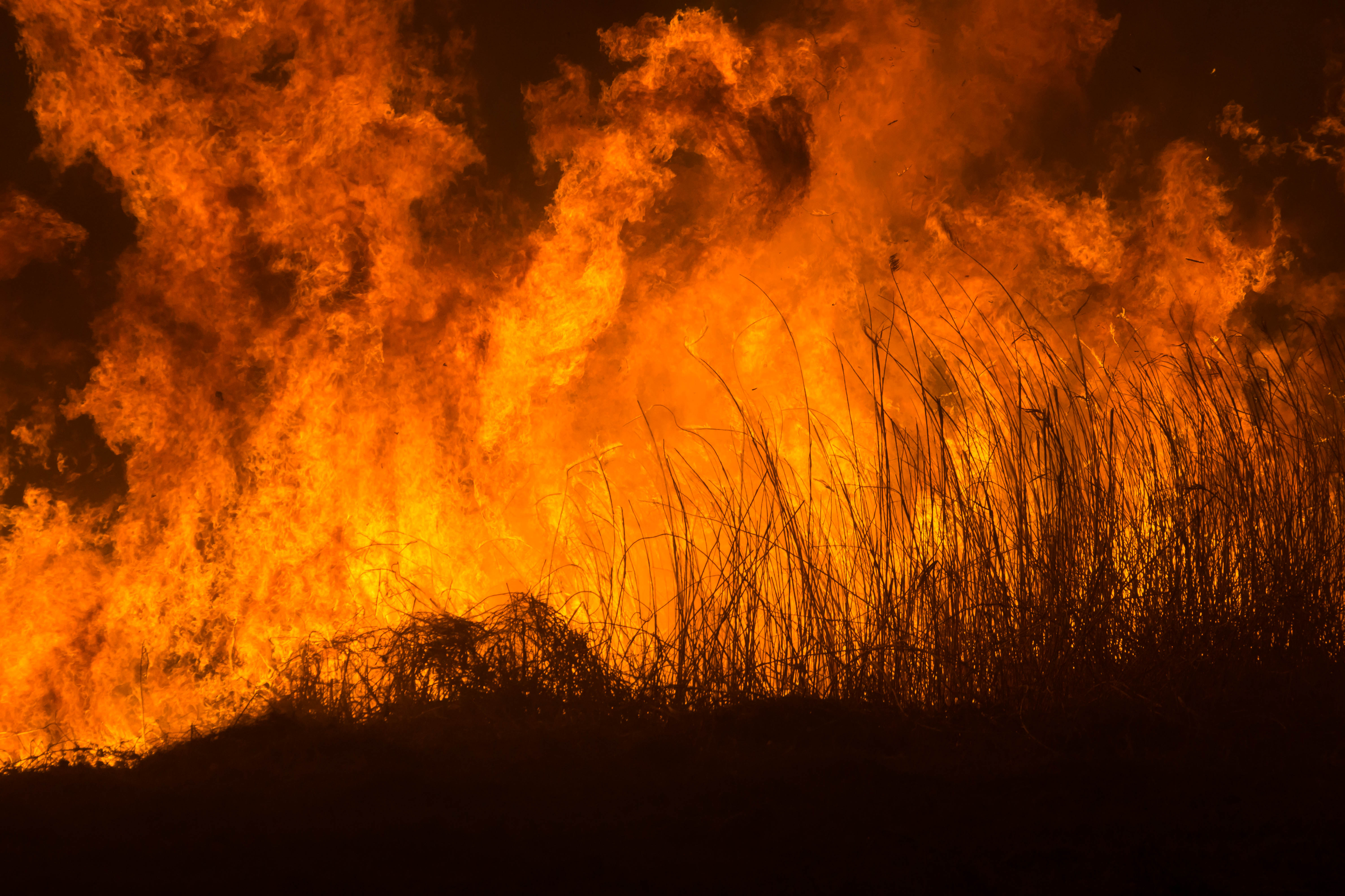
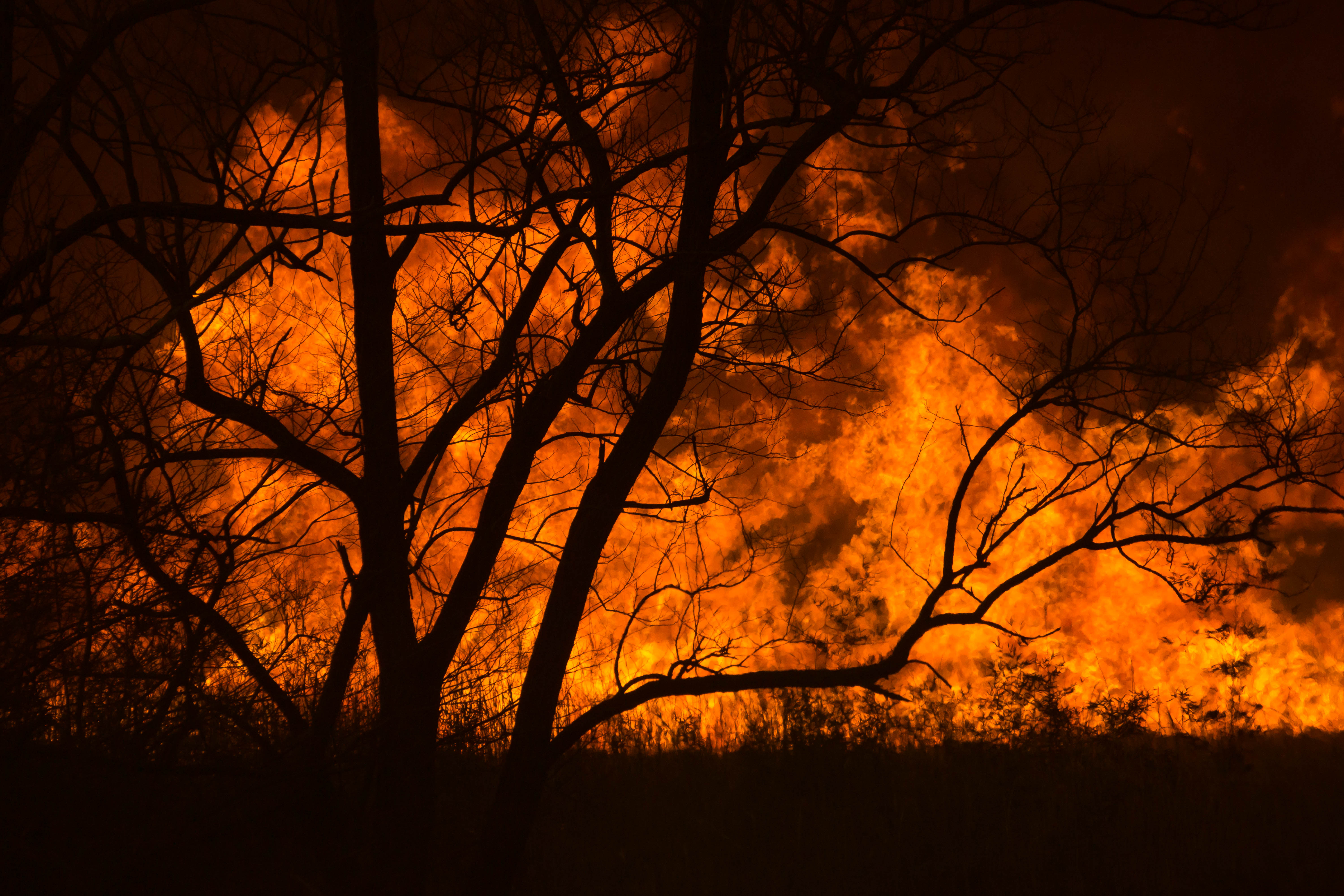
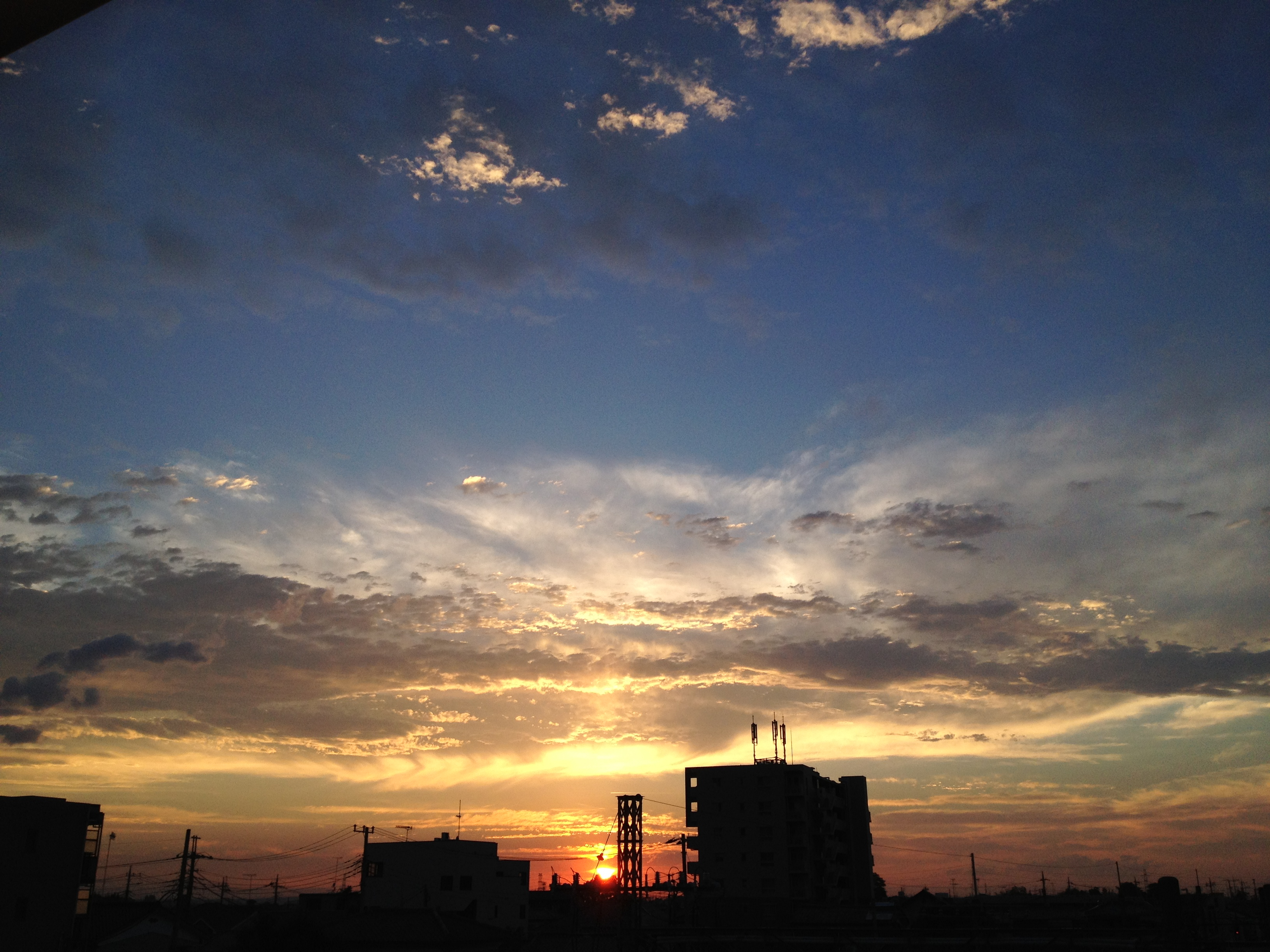
写真

Sailing to a back in the setting sun
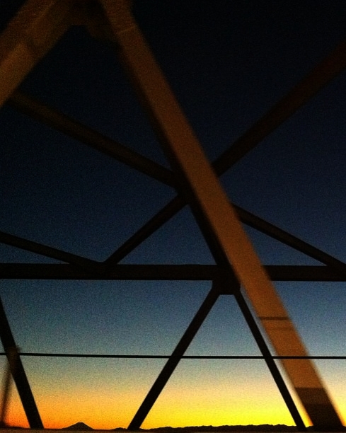
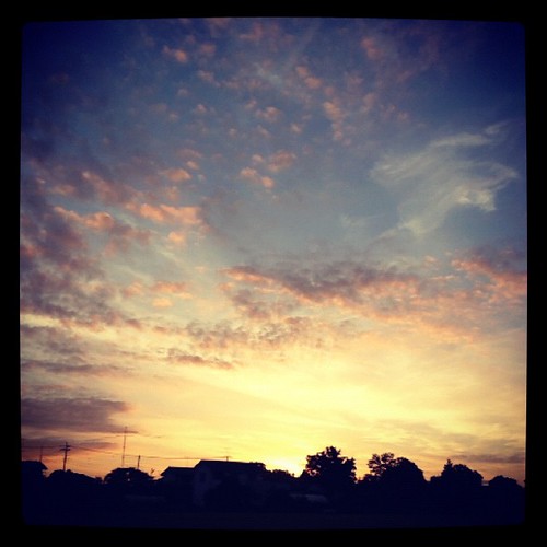
Today's sunset
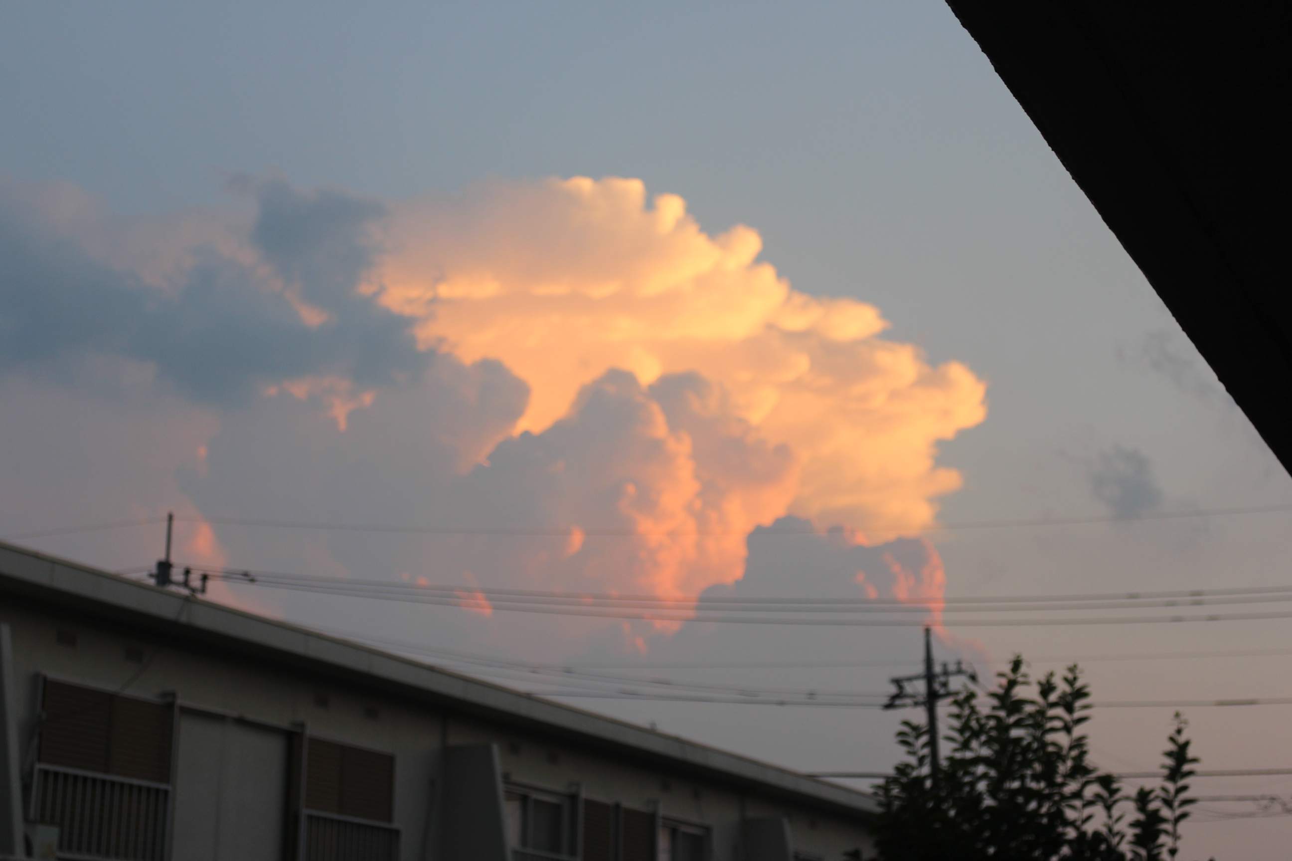
thunderhead of a sunset

Short-eared Owl
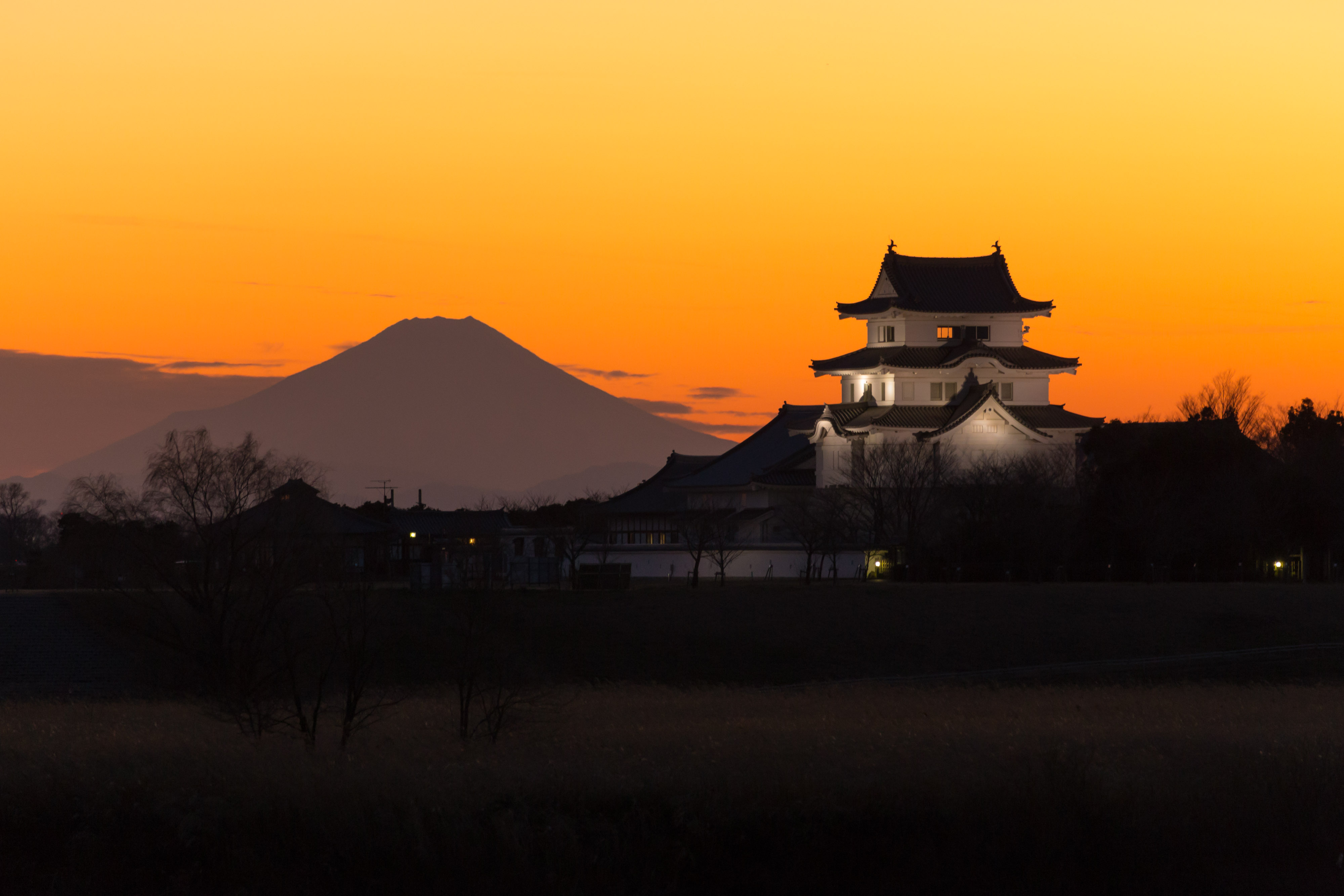
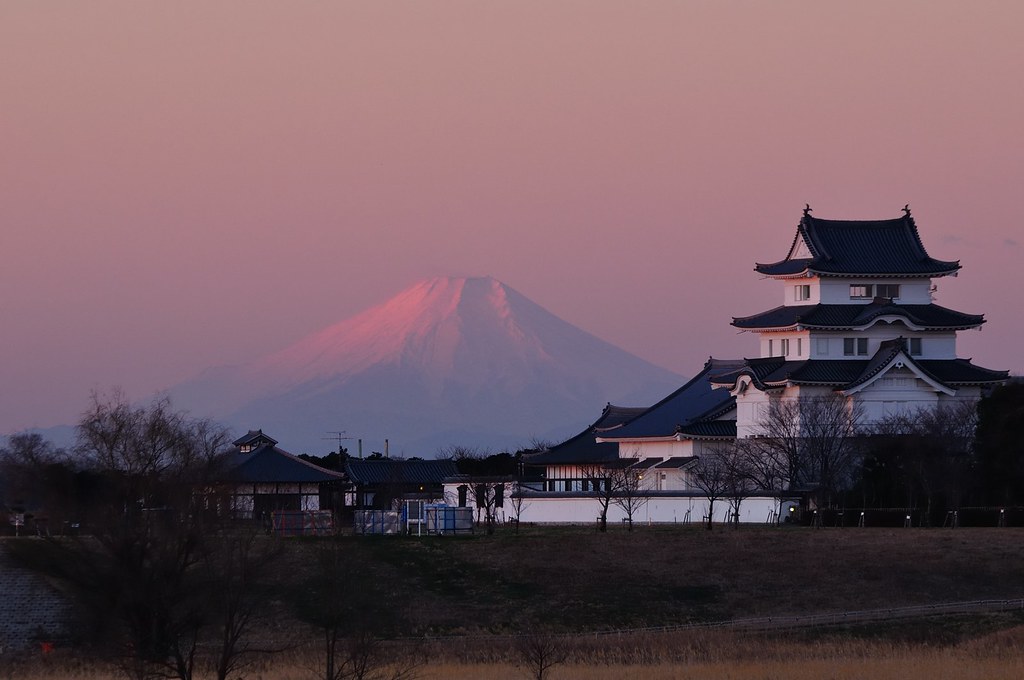
mt.fuji and sekiyado castle

Sakitama Burial Mounds
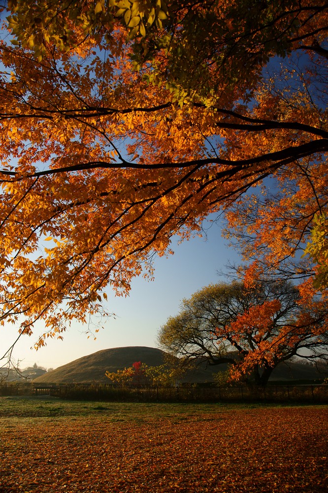
Autumn leaves and tumulus
サンライズ
Distant view of Beni Fuji Dec/28/2013 6:53

日没

morning at watarase

栃木大平山ツーリング
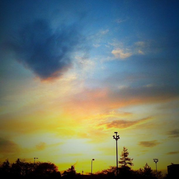
#sunset
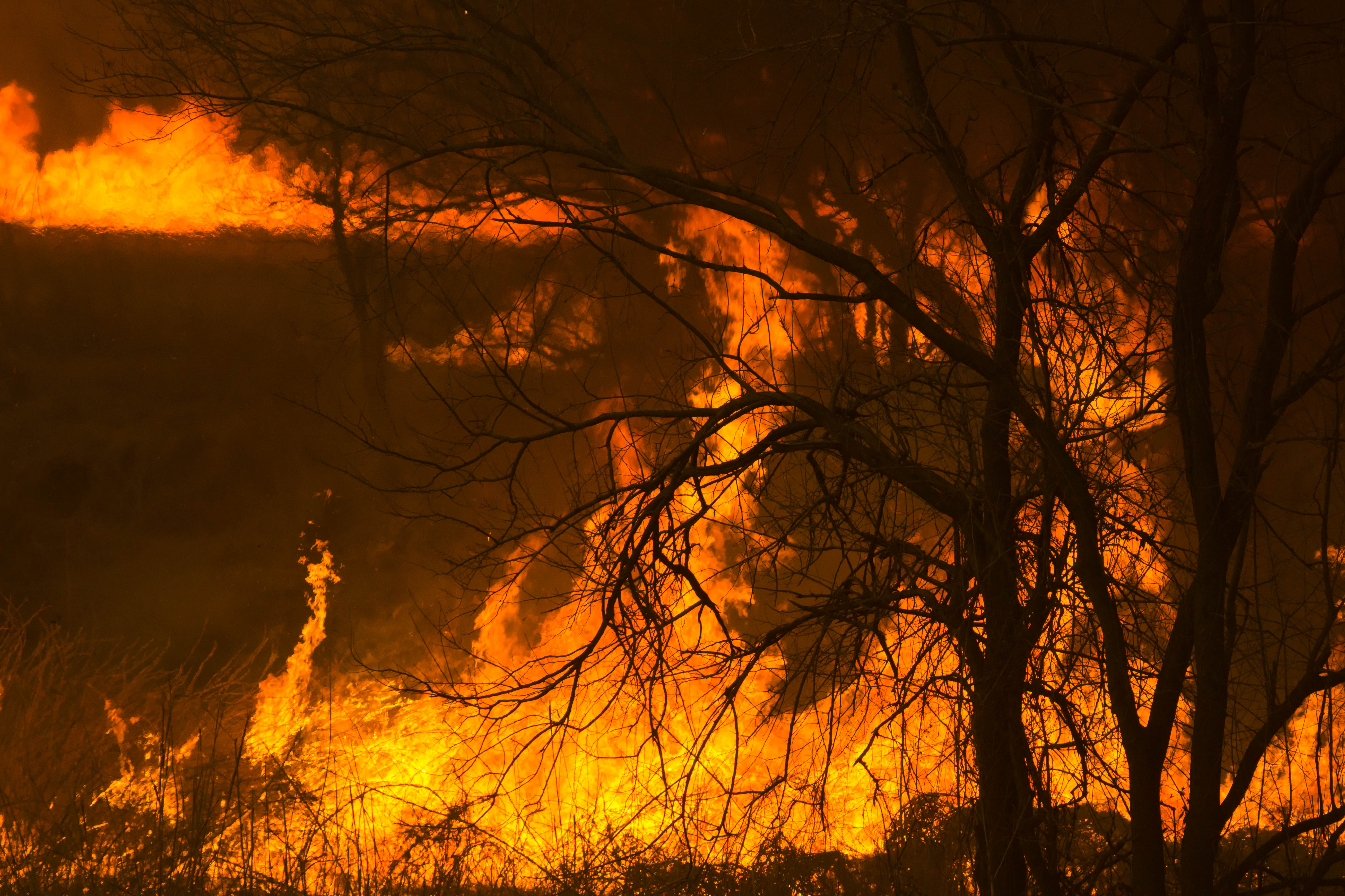
Reed burning in the Watarase anti-flood pond
DSC06800.jpg

Reed burning in the Watarase anti-flood pond

新しい朝
Reed burning in the Watarase anti-flood pond
Reed burning in the Watarase anti-flood pond
Sunset clouds -2
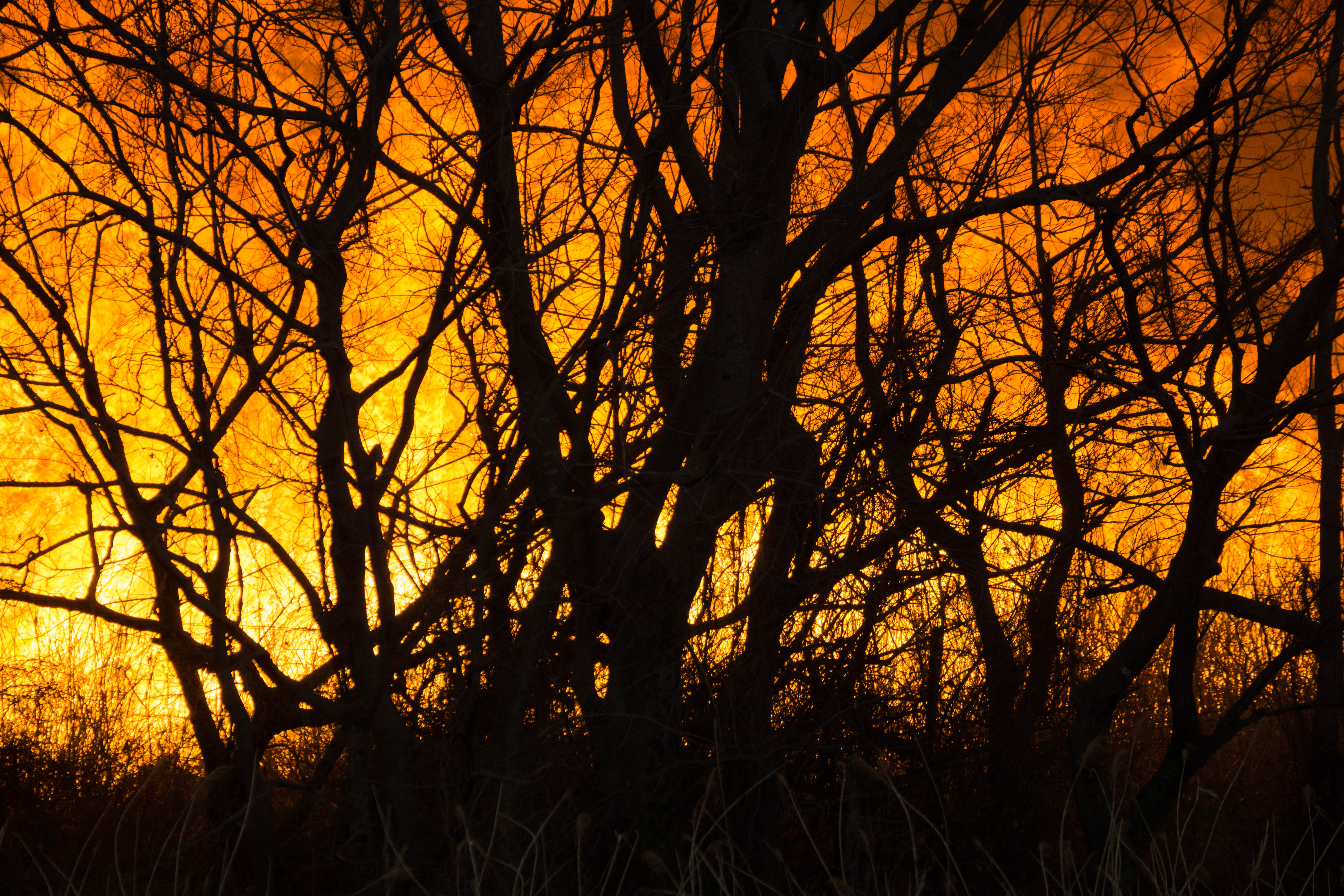
Reed burning in the Watarase anti-flood pond

Fog at sunrise

sunrise through reeds
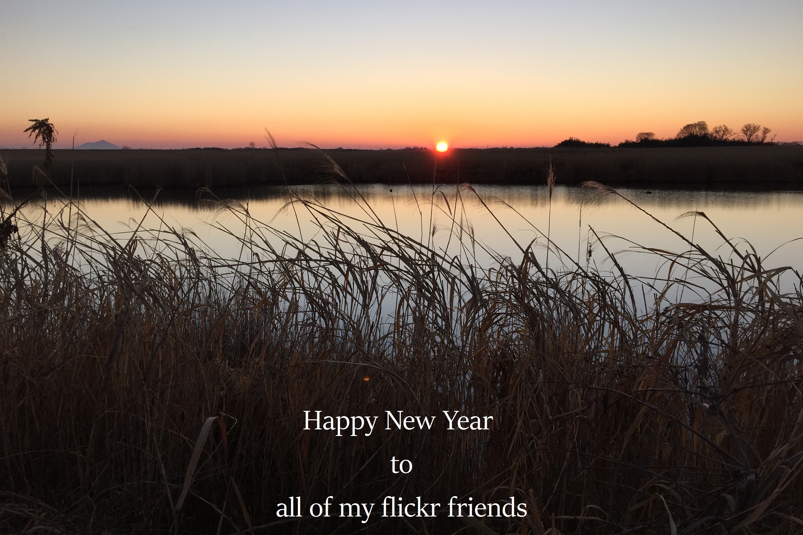
The first sunrise of the year 2016
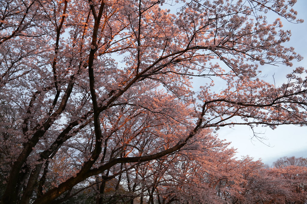
Pink Trees
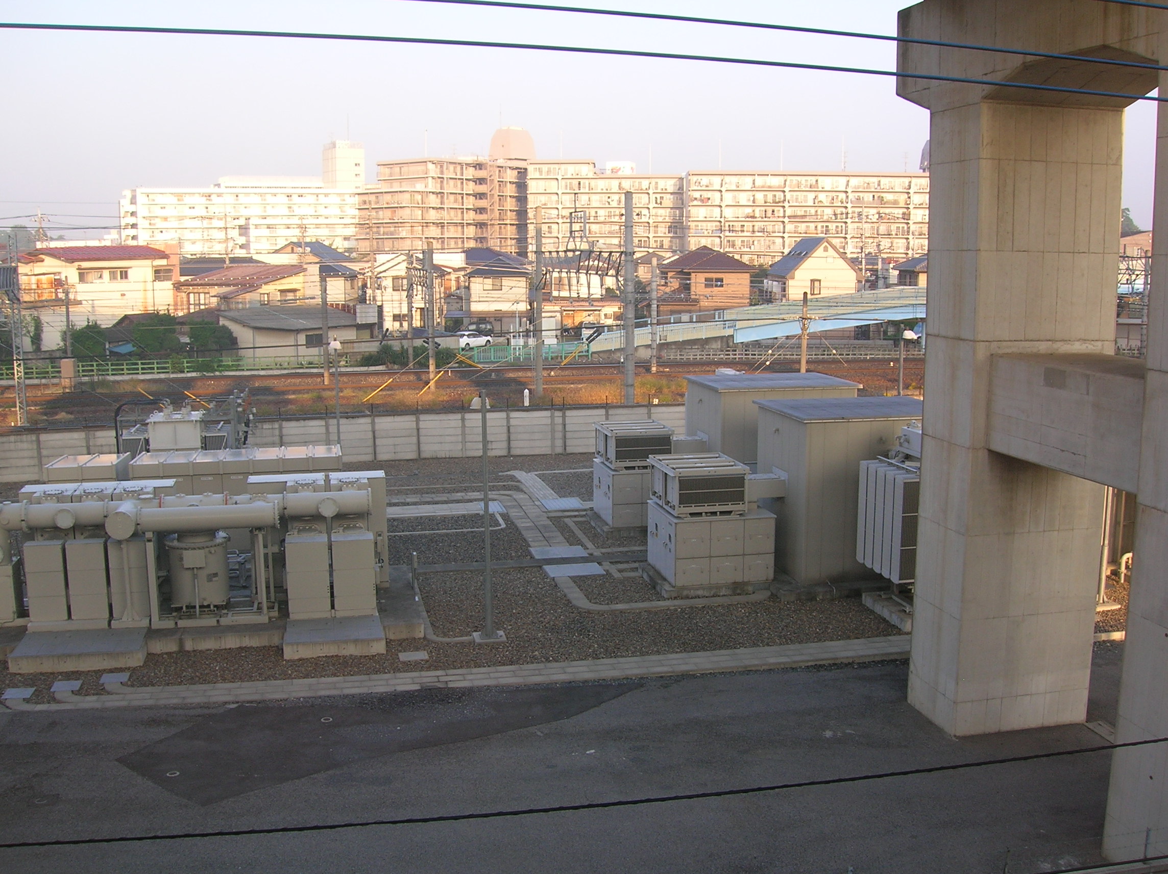
Sunrise on the cement apartment blocks
日本、〒- 埼玉県加須市南篠崎1134−1の地図
別の場所を検索
近所の場所
日本、〒- 埼玉県加須市大桑1丁目1−2
日本, 〒- 埼玉県加須市多門寺669
日本, 埼玉県加須市
日本, 〒- 埼玉県久喜市下清久285
日本、〒- 埼玉県羽生市大字三田ケ谷1529
日本, 〒- 埼玉県羽生市日野手新田69
日本, 〒- 埼玉県加須市根古屋648
日本、〒- 埼玉県加須市根古屋648−7
日本、〒- 埼玉県加須市旗井
日本, 〒- 埼玉県久喜市久喜北2丁目
日本、〒- 埼玉県久喜市久喜北
日本、〒- 埼玉県久喜市緑1丁目
日本、〒- 埼玉県久喜市栗橋中央1丁目
日本、〒- 埼玉県久喜市菖蒲町三箇
日本, 〒- 埼玉県羽生市下手子林1250
日本、〒- 埼玉県加須市旗井1994−7
日本, 〒- 埼玉県久喜市菖蒲町菖蒲236
日本, 〒- 埼玉県羽生市北荻島134
日本, 埼玉県久喜市
日本, 〒- 埼玉県久喜市栗橋
最近の検索
- アメリカ合衆国 アラスカ州 レッド・ドッグ・マイン日の出日の入り時間
- Am bhf, Borken, ドイツアム・バーンホーフ日の出日の入り時間
- 4th St E, Sonoma, CA, USA日の出日の入り時間
- Oakland Ave, Williamsport, PA アメリカ合衆国日の出日の入り時間
- Via Roma, Pieranica CR, イタリアローマ通り日の出日の入り時間
- クロアチア 〒 ドゥブロブニク GradClock Tower of Dubrovnik日の出日の入り時間
- アルゼンチン チュブ州 トレリュー日の出日の入り時間
- Hartfords Bluff Cir, Mt Pleasant, SC アメリカ合衆国日の出日の入り時間
- 日本、熊本県熊本市北区日の出日の入り時間
- 中華人民共和国 福州市 平潭県 平潭島日の出日の入り時間