4 Chemin McDonald, Low, QC J0X 2C0 カナダ日の出日の入り時間
Location: カナダ > ケベック > ラ・ヴァレ=ド=ラ=ガティノー > カナダ > QC J0X カナダ >
時間帯:
America/Toronto
現地時間:
2025-07-12 12:05:24
経度:
-75.950889
緯度:
45.784295
今日の日の出時刻:
05:27:26 AM
今日の日の入時刻:
08:51:54 PM
今日の日長:
15h 24m 28s
明日の日の出時刻:
05:28:21 AM
明日の日の入時刻:
08:51:12 PM
明日の日長:
15h 22m 51s
すべて表示する
| 日付 | 日出 | 日没 | 日長 |
|---|---|---|---|
| 2025年01月01日 | 07:44:48 AM | 04:31:01 PM | 8h 46m 13s |
| 2025年01月02日 | 07:44:45 AM | 04:31:59 PM | 8h 47m 14s |
| 2025年01月03日 | 07:44:40 AM | 04:32:59 PM | 8h 48m 19s |
| 2025年01月04日 | 07:44:31 AM | 04:34:02 PM | 8h 49m 31s |
| 2025年01月05日 | 07:44:20 AM | 04:35:05 PM | 8h 50m 45s |
| 2025年01月06日 | 07:44:06 AM | 04:36:11 PM | 8h 52m 5s |
| 2025年01月07日 | 07:43:50 AM | 04:37:18 PM | 8h 53m 28s |
| 2025年01月08日 | 07:43:31 AM | 04:38:27 PM | 8h 54m 56s |
| 2025年01月09日 | 07:43:09 AM | 04:39:37 PM | 8h 56m 28s |
| 2025年01月10日 | 07:42:45 AM | 04:40:49 PM | 8h 58m 4s |
| 2025年01月11日 | 07:42:18 AM | 04:42:02 PM | 8h 59m 44s |
| 2025年01月12日 | 07:41:48 AM | 04:43:17 PM | 9h 1m 29s |
| 2025年01月13日 | 07:41:16 AM | 04:44:33 PM | 9h 3m 17s |
| 2025年01月14日 | 07:40:42 AM | 04:45:49 PM | 9h 5m 7s |
| 2025年01月15日 | 07:40:05 AM | 04:47:07 PM | 9h 7m 2s |
| 2025年01月16日 | 07:39:26 AM | 04:48:27 PM | 9h 9m 1s |
| 2025年01月17日 | 07:38:44 AM | 04:49:47 PM | 9h 11m 3s |
| 2025年01月18日 | 07:38:00 AM | 04:51:08 PM | 9h 13m 8s |
| 2025年01月19日 | 07:37:13 AM | 04:52:30 PM | 9h 15m 17s |
| 2025年01月20日 | 07:36:24 AM | 04:53:52 PM | 9h 17m 28s |
| 2025年01月21日 | 07:35:33 AM | 04:55:16 PM | 9h 19m 43s |
| 2025年01月22日 | 07:34:40 AM | 04:56:40 PM | 9h 22m 0s |
| 2025年01月23日 | 07:33:44 AM | 04:58:05 PM | 9h 24m 21s |
| 2025年01月24日 | 07:32:47 AM | 04:59:30 PM | 9h 26m 43s |
| 2025年01月25日 | 07:31:47 AM | 05:00:56 PM | 9h 29m 9s |
| 2025年01月26日 | 07:30:45 AM | 05:02:22 PM | 9h 31m 37s |
| 2025年01月27日 | 07:29:41 AM | 05:03:49 PM | 9h 34m 8s |
| 2025年01月28日 | 07:28:35 AM | 05:05:16 PM | 9h 36m 41s |
| 2025年01月29日 | 07:27:27 AM | 05:06:43 PM | 9h 39m 16s |
| 2025年01月30日 | 07:26:17 AM | 05:08:11 PM | 9h 41m 54s |
| 2025年01月31日 | 07:25:06 AM | 05:09:39 PM | 9h 44m 33s |
| 2025年02月01日 | 07:23:52 AM | 05:11:07 PM | 9h 47m 15s |
| 2025年02月02日 | 07:22:37 AM | 05:12:35 PM | 9h 49m 58s |
| 2025年02月03日 | 07:21:20 AM | 05:14:04 PM | 9h 52m 44s |
| 2025年02月04日 | 07:20:01 AM | 05:15:32 PM | 9h 55m 31s |
| 2025年02月05日 | 07:18:41 AM | 05:17:01 PM | 9h 58m 20s |
| 2025年02月06日 | 07:17:19 AM | 05:18:29 PM | 10h 1m 10s |
| 2025年02月07日 | 07:15:55 AM | 05:19:58 PM | 10h 4m 3s |
| 2025年02月08日 | 07:14:30 AM | 05:21:27 PM | 10h 6m 57s |
| 2025年02月09日 | 07:13:04 AM | 05:22:55 PM | 10h 9m 51s |
| 2025年02月10日 | 07:11:36 AM | 05:24:23 PM | 10h 12m 47s |
| 2025年02月11日 | 07:10:06 AM | 05:25:52 PM | 10h 15m 46s |
| 2025年02月12日 | 07:08:35 AM | 05:27:20 PM | 10h 18m 45s |
| 2025年02月13日 | 07:07:03 AM | 05:28:48 PM | 10h 21m 45s |
| 2025年02月14日 | 07:05:30 AM | 05:30:15 PM | 10h 24m 45s |
| 2025年02月15日 | 07:03:55 AM | 05:31:43 PM | 10h 27m 48s |
| 2025年02月16日 | 07:02:20 AM | 05:33:10 PM | 10h 30m 50s |
| 2025年02月17日 | 07:00:43 AM | 05:34:37 PM | 10h 33m 54s |
| 2025年02月18日 | 06:59:04 AM | 05:36:04 PM | 10h 37m 0s |
| 2025年02月19日 | 06:57:25 AM | 05:37:31 PM | 10h 40m 6s |
| 2025年02月20日 | 06:55:45 AM | 05:38:57 PM | 10h 43m 12s |
| 2025年02月21日 | 06:54:04 AM | 05:40:23 PM | 10h 46m 19s |
| 2025年02月22日 | 06:52:22 AM | 05:41:49 PM | 10h 49m 27s |
| 2025年02月23日 | 06:50:38 AM | 05:43:15 PM | 10h 52m 37s |
| 2025年02月24日 | 06:48:54 AM | 05:44:40 PM | 10h 55m 46s |
| 2025年02月25日 | 06:47:09 AM | 05:46:05 PM | 10h 58m 56s |
| 2025年02月26日 | 06:45:24 AM | 05:47:30 PM | 11h 2m 6s |
| 2025年02月27日 | 06:43:37 AM | 05:48:55 PM | 11h 5m 18s |
| 2025年02月28日 | 06:41:50 AM | 05:50:19 PM | 11h 8m 29s |
| 2025年03月01日 | 06:40:02 AM | 05:51:43 PM | 11h 11m 41s |
| 2025年03月02日 | 06:38:13 AM | 05:53:06 PM | 11h 14m 53s |
| 2025年03月03日 | 06:36:24 AM | 05:54:30 PM | 11h 18m 6s |
| 2025年03月04日 | 06:34:34 AM | 05:55:53 PM | 11h 21m 19s |
| 2025年03月05日 | 06:32:43 AM | 05:57:16 PM | 11h 24m 33s |
| 2025年03月06日 | 06:30:52 AM | 05:58:38 PM | 11h 27m 46s |
| 2025年03月07日 | 06:29:01 AM | 06:00:00 PM | 11h 30m 59s |
| 2025年03月08日 | 06:27:09 AM | 06:01:22 PM | 11h 34m 13s |
| 2025年03月09日 | 07:25:21 AM | 07:02:41 PM | 11h 37m 20s |
| 2025年03月10日 | 07:23:28 AM | 07:04:02 PM | 11h 40m 34s |
| 2025年03月11日 | 07:21:35 AM | 07:05:24 PM | 11h 43m 49s |
| 2025年03月12日 | 07:19:41 AM | 07:06:45 PM | 11h 47m 4s |
| 2025年03月13日 | 07:17:47 AM | 07:08:06 PM | 11h 50m 19s |
| 2025年03月14日 | 07:15:53 AM | 07:09:26 PM | 11h 53m 33s |
| 2025年03月15日 | 07:13:59 AM | 07:10:47 PM | 11h 56m 48s |
| 2025年03月16日 | 07:12:04 AM | 07:12:07 PM | 12h 0m 3s |
| 2025年03月17日 | 07:10:09 AM | 07:13:27 PM | 12h 3m 18s |
| 2025年03月18日 | 07:08:14 AM | 07:14:47 PM | 12h 6m 33s |
| 2025年03月19日 | 07:06:19 AM | 07:16:07 PM | 12h 9m 48s |
| 2025年03月20日 | 07:04:23 AM | 07:17:27 PM | 12h 13m 4s |
| 2025年03月21日 | 07:02:28 AM | 07:18:46 PM | 12h 16m 18s |
| 2025年03月22日 | 07:00:33 AM | 07:20:06 PM | 12h 19m 33s |
| 2025年03月23日 | 06:58:37 AM | 07:21:25 PM | 12h 22m 48s |
| 2025年03月24日 | 06:56:42 AM | 07:22:44 PM | 12h 26m 2s |
| 2025年03月25日 | 06:54:47 AM | 07:24:03 PM | 12h 29m 16s |
| 2025年03月26日 | 06:52:52 AM | 07:25:22 PM | 12h 32m 30s |
| 2025年03月27日 | 06:50:56 AM | 07:26:41 PM | 12h 35m 45s |
| 2025年03月28日 | 06:49:02 AM | 07:28:00 PM | 12h 38m 58s |
| 2025年03月29日 | 06:47:07 AM | 07:29:19 PM | 12h 42m 12s |
| 2025年03月30日 | 06:45:12 AM | 07:30:37 PM | 12h 45m 25s |
| 2025年03月31日 | 06:43:18 AM | 07:31:56 PM | 12h 48m 38s |
| 2025年04月01日 | 06:41:24 AM | 07:33:15 PM | 12h 51m 51s |
| 2025年04月02日 | 06:39:30 AM | 07:34:33 PM | 12h 55m 3s |
| 2025年04月03日 | 06:37:37 AM | 07:35:52 PM | 12h 58m 15s |
| 2025年04月04日 | 06:35:44 AM | 07:37:10 PM | 13h 1m 26s |
| 2025年04月05日 | 06:33:51 AM | 07:38:29 PM | 13h 4m 38s |
| 2025年04月06日 | 06:31:59 AM | 07:39:47 PM | 13h 7m 48s |
| 2025年04月07日 | 06:30:08 AM | 07:41:06 PM | 13h 10m 58s |
| 2025年04月08日 | 06:28:16 AM | 07:42:24 PM | 13h 14m 8s |
| 2025年04月09日 | 06:26:26 AM | 07:43:43 PM | 13h 17m 17s |
| 2025年04月10日 | 06:24:36 AM | 07:45:01 PM | 13h 20m 25s |
| 2025年04月11日 | 06:22:46 AM | 07:46:19 PM | 13h 23m 33s |
| 2025年04月12日 | 06:20:57 AM | 07:47:38 PM | 13h 26m 41s |
| 2025年04月13日 | 06:19:09 AM | 07:48:56 PM | 13h 29m 47s |
| 2025年04月14日 | 06:17:22 AM | 07:50:15 PM | 13h 32m 53s |
| 2025年04月15日 | 06:15:35 AM | 07:51:33 PM | 13h 35m 58s |
| 2025年04月16日 | 06:13:49 AM | 07:52:51 PM | 13h 39m 2s |
| 2025年04月17日 | 06:12:04 AM | 07:54:10 PM | 13h 42m 6s |
| 2025年04月18日 | 06:10:19 AM | 07:55:28 PM | 13h 45m 9s |
| 2025年04月19日 | 06:08:36 AM | 07:56:46 PM | 13h 48m 10s |
| 2025年04月20日 | 06:06:53 AM | 07:58:05 PM | 13h 51m 12s |
| 2025年04月21日 | 06:05:11 AM | 07:59:23 PM | 13h 54m 12s |
| 2025年04月22日 | 06:03:31 AM | 08:00:41 PM | 13h 57m 10s |
| 2025年04月23日 | 06:01:51 AM | 08:01:59 PM | 14h 0m 8s |
| 2025年04月24日 | 06:00:12 AM | 08:03:17 PM | 14h 3m 5s |
| 2025年04月25日 | 05:58:35 AM | 08:04:35 PM | 14h 6m 0s |
| 2025年04月26日 | 05:56:58 AM | 08:05:53 PM | 14h 8m 55s |
| 2025年04月27日 | 05:55:23 AM | 08:07:10 PM | 14h 11m 47s |
| 2025年04月28日 | 05:53:49 AM | 08:08:28 PM | 14h 14m 39s |
| 2025年04月29日 | 05:52:16 AM | 08:09:45 PM | 14h 17m 29s |
| 2025年04月30日 | 05:50:44 AM | 08:11:02 PM | 14h 20m 18s |
| 2025年05月01日 | 05:49:14 AM | 08:12:19 PM | 14h 23m 5s |
| 2025年05月02日 | 05:47:45 AM | 08:13:35 PM | 14h 25m 50s |
| 2025年05月03日 | 05:46:17 AM | 08:14:52 PM | 14h 28m 35s |
| 2025年05月04日 | 05:44:51 AM | 08:16:08 PM | 14h 31m 17s |
| 2025年05月05日 | 05:43:26 AM | 08:17:23 PM | 14h 33m 57s |
| 2025年05月06日 | 05:42:03 AM | 08:18:39 PM | 14h 36m 36s |
| 2025年05月07日 | 05:40:41 AM | 08:19:54 PM | 14h 39m 13s |
| 2025年05月08日 | 05:39:21 AM | 08:21:08 PM | 14h 41m 47s |
| 2025年05月09日 | 05:38:03 AM | 08:22:22 PM | 14h 44m 19s |
| 2025年05月10日 | 05:36:46 AM | 08:23:36 PM | 14h 46m 50s |
| 2025年05月11日 | 05:35:30 AM | 08:24:49 PM | 14h 49m 19s |
| 2025年05月12日 | 05:34:17 AM | 08:26:02 PM | 14h 51m 45s |
| 2025年05月13日 | 05:33:05 AM | 08:27:13 PM | 14h 54m 8s |
| 2025年05月14日 | 05:31:55 AM | 08:28:25 PM | 14h 56m 30s |
| 2025年05月15日 | 05:30:47 AM | 08:29:35 PM | 14h 58m 48s |
| 2025年05月16日 | 05:29:40 AM | 08:30:45 PM | 15h 1m 5s |
| 2025年05月17日 | 05:28:36 AM | 08:31:54 PM | 15h 3m 18s |
| 2025年05月18日 | 05:27:33 AM | 08:33:02 PM | 15h 5m 29s |
| 2025年05月19日 | 05:26:33 AM | 08:34:10 PM | 15h 7m 37s |
| 2025年05月20日 | 05:25:34 AM | 08:35:16 PM | 15h 9m 42s |
| 2025年05月21日 | 05:24:38 AM | 08:36:21 PM | 15h 11m 43s |
| 2025年05月22日 | 05:23:43 AM | 08:37:26 PM | 15h 13m 43s |
| 2025年05月23日 | 05:22:51 AM | 08:38:29 PM | 15h 15m 38s |
| 2025年05月24日 | 05:22:00 AM | 08:39:31 PM | 15h 17m 31s |
| 2025年05月25日 | 05:21:12 AM | 08:40:33 PM | 15h 19m 21s |
| 2025年05月26日 | 05:20:26 AM | 08:41:32 PM | 15h 21m 6s |
| 2025年05月27日 | 05:19:42 AM | 08:42:31 PM | 15h 22m 49s |
| 2025年05月28日 | 05:19:01 AM | 08:43:28 PM | 15h 24m 27s |
| 2025年05月29日 | 05:18:22 AM | 08:44:24 PM | 15h 26m 2s |
| 2025年05月30日 | 05:17:45 AM | 08:45:19 PM | 15h 27m 34s |
| 2025年05月31日 | 05:17:10 AM | 08:46:11 PM | 15h 29m 1s |
| 2025年06月01日 | 05:16:38 AM | 08:47:03 PM | 15h 30m 25s |
| 2025年06月02日 | 05:16:07 AM | 08:47:53 PM | 15h 31m 46s |
| 2025年06月03日 | 05:15:40 AM | 08:48:41 PM | 15h 33m 1s |
| 2025年06月04日 | 05:15:14 AM | 08:49:27 PM | 15h 34m 13s |
| 2025年06月05日 | 05:14:51 AM | 08:50:12 PM | 15h 35m 21s |
| 2025年06月06日 | 05:14:31 AM | 08:50:55 PM | 15h 36m 24s |
| 2025年06月07日 | 05:14:13 AM | 08:51:36 PM | 15h 37m 23s |
| 2025年06月08日 | 05:13:57 AM | 08:52:16 PM | 15h 38m 19s |
| 2025年06月09日 | 05:13:43 AM | 08:52:53 PM | 15h 39m 10s |
| 2025年06月10日 | 05:13:32 AM | 08:53:28 PM | 15h 39m 56s |
| 2025年06月11日 | 05:13:24 AM | 08:54:02 PM | 15h 40m 38s |
| 2025年06月12日 | 05:13:17 AM | 08:54:33 PM | 15h 41m 16s |
| 2025年06月13日 | 05:13:14 AM | 08:55:02 PM | 15h 41m 48s |
| 2025年06月14日 | 05:13:12 AM | 08:55:29 PM | 15h 42m 17s |
| 2025年06月15日 | 05:13:13 AM | 08:55:54 PM | 15h 42m 41s |
| 2025年06月16日 | 05:13:16 AM | 08:56:17 PM | 15h 43m 1s |
| 2025年06月17日 | 05:13:22 AM | 08:56:37 PM | 15h 43m 15s |
| 2025年06月18日 | 05:13:30 AM | 08:56:55 PM | 15h 43m 25s |
| 2025年06月19日 | 05:13:40 AM | 08:57:11 PM | 15h 43m 31s |
| 2025年06月20日 | 05:13:53 AM | 08:57:25 PM | 15h 43m 32s |
| 2025年06月21日 | 05:14:08 AM | 08:57:36 PM | 15h 43m 28s |
| 2025年06月22日 | 05:14:25 AM | 08:57:45 PM | 15h 43m 20s |
| 2025年06月23日 | 05:14:44 AM | 08:57:52 PM | 15h 43m 8s |
| 2025年06月24日 | 05:15:05 AM | 08:57:56 PM | 15h 42m 51s |
| 2025年06月25日 | 05:15:29 AM | 08:57:57 PM | 15h 42m 28s |
| 2025年06月26日 | 05:15:55 AM | 08:57:57 PM | 15h 42m 2s |
| 2025年06月27日 | 05:16:22 AM | 08:57:53 PM | 15h 41m 31s |
| 2025年06月28日 | 05:16:52 AM | 08:57:48 PM | 15h 40m 56s |
| 2025年06月29日 | 05:17:24 AM | 08:57:40 PM | 15h 40m 16s |
| 2025年06月30日 | 05:17:58 AM | 08:57:29 PM | 15h 39m 31s |
| 2025年07月01日 | 05:18:34 AM | 08:57:16 PM | 15h 38m 42s |
| 2025年07月02日 | 05:19:11 AM | 08:57:01 PM | 15h 37m 50s |
| 2025年07月03日 | 05:19:50 AM | 08:56:43 PM | 15h 36m 53s |
| 2025年07月04日 | 05:20:32 AM | 08:56:23 PM | 15h 35m 51s |
| 2025年07月05日 | 05:21:14 AM | 08:56:00 PM | 15h 34m 46s |
| 2025年07月06日 | 05:21:59 AM | 08:55:35 PM | 15h 33m 36s |
| 2025年07月07日 | 05:22:45 AM | 08:55:08 PM | 15h 32m 23s |
| 2025年07月08日 | 05:23:33 AM | 08:54:38 PM | 15h 31m 5s |
| 2025年07月09日 | 05:24:22 AM | 08:54:05 PM | 15h 29m 43s |
| 2025年07月10日 | 05:25:13 AM | 08:53:31 PM | 15h 28m 18s |
| 2025年07月11日 | 05:26:05 AM | 08:52:54 PM | 15h 26m 49s |
| 2025年07月12日 | 05:26:59 AM | 08:52:15 PM | 15h 25m 16s |
| 2025年07月13日 | 05:27:53 AM | 08:51:33 PM | 15h 23m 40s |
| 2025年07月14日 | 05:28:50 AM | 08:50:49 PM | 15h 21m 59s |
| 2025年07月15日 | 05:29:47 AM | 08:50:03 PM | 15h 20m 16s |
| 2025年07月16日 | 05:30:45 AM | 08:49:15 PM | 15h 18m 30s |
| 2025年07月17日 | 05:31:45 AM | 08:48:25 PM | 15h 16m 40s |
| 2025年07月18日 | 05:32:46 AM | 08:47:32 PM | 15h 14m 46s |
| 2025年07月19日 | 05:33:47 AM | 08:46:37 PM | 15h 12m 50s |
| 2025年07月20日 | 05:34:50 AM | 08:45:41 PM | 15h 10m 51s |
| 2025年07月21日 | 05:35:54 AM | 08:44:42 PM | 15h 8m 48s |
| 2025年07月22日 | 05:36:58 AM | 08:43:41 PM | 15h 6m 43s |
| 2025年07月23日 | 05:38:03 AM | 08:42:38 PM | 15h 4m 35s |
| 2025年07月24日 | 05:39:09 AM | 08:41:33 PM | 15h 2m 24s |
| 2025年07月25日 | 05:40:16 AM | 08:40:27 PM | 15h 0m 11s |
| 2025年07月26日 | 05:41:23 AM | 08:39:18 PM | 14h 57m 55s |
| 2025年07月27日 | 05:42:32 AM | 08:38:08 PM | 14h 55m 36s |
| 2025年07月28日 | 05:43:40 AM | 08:36:56 PM | 14h 53m 16s |
| 2025年07月29日 | 05:44:49 AM | 08:35:42 PM | 14h 50m 53s |
| 2025年07月30日 | 05:45:59 AM | 08:34:26 PM | 14h 48m 27s |
| 2025年07月31日 | 05:47:09 AM | 08:33:08 PM | 14h 45m 59s |
| 2025年08月01日 | 05:48:20 AM | 08:31:49 PM | 14h 43m 29s |
| 2025年08月02日 | 05:49:31 AM | 08:30:29 PM | 14h 40m 58s |
| 2025年08月03日 | 05:50:43 AM | 08:29:06 PM | 14h 38m 23s |
| 2025年08月04日 | 05:51:54 AM | 08:27:42 PM | 14h 35m 48s |
| 2025年08月05日 | 05:53:07 AM | 08:26:17 PM | 14h 33m 10s |
| 2025年08月06日 | 05:54:19 AM | 08:24:50 PM | 14h 30m 31s |
| 2025年08月07日 | 05:55:32 AM | 08:23:22 PM | 14h 27m 50s |
| 2025年08月08日 | 05:56:44 AM | 08:21:52 PM | 14h 25m 8s |
| 2025年08月09日 | 05:57:58 AM | 08:20:21 PM | 14h 22m 23s |
| 2025年08月10日 | 05:59:11 AM | 08:18:49 PM | 14h 19m 38s |
| 2025年08月11日 | 06:00:24 AM | 08:17:15 PM | 14h 16m 51s |
| 2025年08月12日 | 06:01:38 AM | 08:15:40 PM | 14h 14m 2s |
| 2025年08月13日 | 06:02:52 AM | 08:14:04 PM | 14h 11m 12s |
| 2025年08月14日 | 06:04:05 AM | 08:12:27 PM | 14h 8m 22s |
| 2025年08月15日 | 06:05:19 AM | 08:10:49 PM | 14h 5m 30s |
| 2025年08月16日 | 06:06:33 AM | 08:09:09 PM | 14h 2m 36s |
| 2025年08月17日 | 06:07:47 AM | 08:07:29 PM | 13h 59m 42s |
| 2025年08月18日 | 06:09:01 AM | 08:05:47 PM | 13h 56m 46s |
| 2025年08月19日 | 06:10:15 AM | 08:04:04 PM | 13h 53m 49s |
| 2025年08月20日 | 06:11:29 AM | 08:02:21 PM | 13h 50m 52s |
| 2025年08月21日 | 06:12:43 AM | 08:00:36 PM | 13h 47m 53s |
| 2025年08月22日 | 06:13:57 AM | 07:58:51 PM | 13h 44m 54s |
| 2025年08月23日 | 06:15:11 AM | 07:57:05 PM | 13h 41m 54s |
| 2025年08月24日 | 06:16:26 AM | 07:55:18 PM | 13h 38m 52s |
| 2025年08月25日 | 06:17:40 AM | 07:53:30 PM | 13h 35m 50s |
| 2025年08月26日 | 06:18:54 AM | 07:51:41 PM | 13h 32m 47s |
| 2025年08月27日 | 06:20:08 AM | 07:49:52 PM | 13h 29m 44s |
| 2025年08月28日 | 06:21:22 AM | 07:48:02 PM | 13h 26m 40s |
| 2025年08月29日 | 06:22:36 AM | 07:46:11 PM | 13h 23m 35s |
| 2025年08月30日 | 06:23:49 AM | 07:44:20 PM | 13h 20m 31s |
| 2025年08月31日 | 06:25:03 AM | 07:42:28 PM | 13h 17m 25s |
| 2025年09月01日 | 06:26:17 AM | 07:40:36 PM | 13h 14m 19s |
| 2025年09月02日 | 06:27:31 AM | 07:38:43 PM | 13h 11m 12s |
| 2025年09月03日 | 06:28:45 AM | 07:36:49 PM | 13h 8m 4s |
| 2025年09月04日 | 06:29:59 AM | 07:34:55 PM | 13h 4m 56s |
| 2025年09月05日 | 06:31:13 AM | 07:33:01 PM | 13h 1m 48s |
| 2025年09月06日 | 06:32:26 AM | 07:31:06 PM | 12h 58m 40s |
| 2025年09月07日 | 06:33:40 AM | 07:29:11 PM | 12h 55m 31s |
| 2025年09月08日 | 06:34:54 AM | 07:27:15 PM | 12h 52m 21s |
| 2025年09月09日 | 06:36:08 AM | 07:25:20 PM | 12h 49m 12s |
| 2025年09月10日 | 06:37:22 AM | 07:23:24 PM | 12h 46m 2s |
| 2025年09月11日 | 06:38:36 AM | 07:21:27 PM | 12h 42m 51s |
| 2025年09月12日 | 06:39:50 AM | 07:19:31 PM | 12h 39m 41s |
| 2025年09月13日 | 06:41:04 AM | 07:17:34 PM | 12h 36m 30s |
| 2025年09月14日 | 06:42:18 AM | 07:15:37 PM | 12h 33m 19s |
| 2025年09月15日 | 06:43:32 AM | 07:13:40 PM | 12h 30m 8s |
| 2025年09月16日 | 06:44:46 AM | 07:11:43 PM | 12h 26m 57s |
| 2025年09月17日 | 06:46:00 AM | 07:09:46 PM | 12h 23m 46s |
| 2025年09月18日 | 06:47:15 AM | 07:07:48 PM | 12h 20m 33s |
| 2025年09月19日 | 06:48:29 AM | 07:05:51 PM | 12h 17m 22s |
| 2025年09月20日 | 06:49:44 AM | 07:03:54 PM | 12h 14m 10s |
| 2025年09月21日 | 06:50:59 AM | 07:01:57 PM | 12h 10m 58s |
| 2025年09月22日 | 06:52:14 AM | 07:00:00 PM | 12h 7m 46s |
| 2025年09月23日 | 06:53:29 AM | 06:58:03 PM | 12h 4m 34s |
| 2025年09月24日 | 06:54:44 AM | 06:56:06 PM | 12h 1m 22s |
| 2025年09月25日 | 06:55:59 AM | 06:54:09 PM | 11h 58m 10s |
| 2025年09月26日 | 06:57:15 AM | 06:52:13 PM | 11h 54m 58s |
| 2025年09月27日 | 06:58:31 AM | 06:50:17 PM | 11h 51m 46s |
| 2025年09月28日 | 06:59:47 AM | 06:48:21 PM | 11h 48m 34s |
| 2025年09月29日 | 07:01:03 AM | 06:46:25 PM | 11h 45m 22s |
| 2025年09月30日 | 07:02:19 AM | 06:44:30 PM | 11h 42m 11s |
| 2025年10月01日 | 07:03:36 AM | 06:42:35 PM | 11h 38m 59s |
| 2025年10月02日 | 07:04:53 AM | 06:40:40 PM | 11h 35m 47s |
| 2025年10月03日 | 07:06:10 AM | 06:38:46 PM | 11h 32m 36s |
| 2025年10月04日 | 07:07:27 AM | 06:36:53 PM | 11h 29m 26s |
| 2025年10月05日 | 07:08:45 AM | 06:34:59 PM | 11h 26m 14s |
| 2025年10月06日 | 07:10:03 AM | 06:33:07 PM | 11h 23m 4s |
| 2025年10月07日 | 07:11:21 AM | 06:31:15 PM | 11h 19m 54s |
| 2025年10月08日 | 07:12:40 AM | 06:29:23 PM | 11h 16m 43s |
| 2025年10月09日 | 07:13:58 AM | 06:27:32 PM | 11h 13m 34s |
| 2025年10月10日 | 07:15:17 AM | 06:25:42 PM | 11h 10m 25s |
| 2025年10月11日 | 07:16:37 AM | 06:23:52 PM | 11h 7m 15s |
| 2025年10月12日 | 07:17:56 AM | 06:22:03 PM | 11h 4m 7s |
| 2025年10月13日 | 07:19:16 AM | 06:20:15 PM | 11h 0m 59s |
| 2025年10月14日 | 07:20:37 AM | 06:18:28 PM | 10h 57m 51s |
| 2025年10月15日 | 07:21:57 AM | 06:16:41 PM | 10h 54m 44s |
| 2025年10月16日 | 07:23:18 AM | 06:14:56 PM | 10h 51m 38s |
| 2025年10月17日 | 07:24:40 AM | 06:13:11 PM | 10h 48m 31s |
| 2025年10月18日 | 07:26:01 AM | 06:11:27 PM | 10h 45m 26s |
| 2025年10月19日 | 07:27:23 AM | 06:09:44 PM | 10h 42m 21s |
| 2025年10月20日 | 07:28:45 AM | 06:08:03 PM | 10h 39m 18s |
| 2025年10月21日 | 07:30:07 AM | 06:06:22 PM | 10h 36m 15s |
| 2025年10月22日 | 07:31:30 AM | 06:04:42 PM | 10h 33m 12s |
| 2025年10月23日 | 07:32:53 AM | 06:03:04 PM | 10h 30m 11s |
| 2025年10月24日 | 07:34:16 AM | 06:01:26 PM | 10h 27m 10s |
| 2025年10月25日 | 07:35:40 AM | 05:59:50 PM | 10h 24m 10s |
| 2025年10月26日 | 07:37:03 AM | 05:58:15 PM | 10h 21m 12s |
| 2025年10月27日 | 07:38:27 AM | 05:56:41 PM | 10h 18m 14s |
| 2025年10月28日 | 07:39:51 AM | 05:55:09 PM | 10h 15m 18s |
| 2025年10月29日 | 07:41:15 AM | 05:53:38 PM | 10h 12m 23s |
| 2025年10月30日 | 07:42:40 AM | 05:52:08 PM | 10h 9m 28s |
| 2025年10月31日 | 07:44:05 AM | 05:50:40 PM | 10h 6m 35s |
| 2025年11月01日 | 07:45:29 AM | 05:49:14 PM | 10h 3m 45s |
| 2025年11月02日 | 06:46:58 AM | 04:47:45 PM | 10h 0m 47s |
| 2025年11月03日 | 06:48:22 AM | 04:46:21 PM | 9h 57m 59s |
| 2025年11月04日 | 06:49:47 AM | 04:44:59 PM | 9h 55m 12s |
| 2025年11月05日 | 06:51:12 AM | 04:43:39 PM | 9h 52m 27s |
| 2025年11月06日 | 06:52:37 AM | 04:42:21 PM | 9h 49m 44s |
| 2025年11月07日 | 06:54:02 AM | 04:41:04 PM | 9h 47m 2s |
| 2025年11月08日 | 06:55:27 AM | 04:39:49 PM | 9h 44m 22s |
| 2025年11月09日 | 06:56:51 AM | 04:38:35 PM | 9h 41m 44s |
| 2025年11月10日 | 06:58:16 AM | 04:37:24 PM | 9h 39m 8s |
| 2025年11月11日 | 06:59:40 AM | 04:36:15 PM | 9h 36m 35s |
| 2025年11月12日 | 07:01:04 AM | 04:35:07 PM | 9h 34m 3s |
| 2025年11月13日 | 07:02:28 AM | 04:34:02 PM | 9h 31m 34s |
| 2025年11月14日 | 07:03:51 AM | 04:32:58 PM | 9h 29m 7s |
| 2025年11月15日 | 07:05:14 AM | 04:31:57 PM | 9h 26m 43s |
| 2025年11月16日 | 07:06:37 AM | 04:30:58 PM | 9h 24m 21s |
| 2025年11月17日 | 07:07:59 AM | 04:30:00 PM | 9h 22m 1s |
| 2025年11月18日 | 07:09:20 AM | 04:29:06 PM | 9h 19m 46s |
| 2025年11月19日 | 07:10:41 AM | 04:28:13 PM | 9h 17m 32s |
| 2025年11月20日 | 07:12:01 AM | 04:27:22 PM | 9h 15m 21s |
| 2025年11月21日 | 07:13:21 AM | 04:26:34 PM | 9h 13m 13s |
| 2025年11月22日 | 07:14:39 AM | 04:25:49 PM | 9h 11m 10s |
| 2025年11月23日 | 07:15:57 AM | 04:25:05 PM | 9h 9m 8s |
| 2025年11月24日 | 07:17:14 AM | 04:24:24 PM | 9h 7m 10s |
| 2025年11月25日 | 07:18:30 AM | 04:23:46 PM | 9h 5m 16s |
| 2025年11月26日 | 07:19:45 AM | 04:23:10 PM | 9h 3m 25s |
| 2025年11月27日 | 07:20:59 AM | 04:22:37 PM | 9h 1m 38s |
| 2025年11月28日 | 07:22:12 AM | 04:22:06 PM | 8h 59m 54s |
| 2025年11月29日 | 07:23:23 AM | 04:21:37 PM | 8h 58m 14s |
| 2025年11月30日 | 07:24:33 AM | 04:21:12 PM | 8h 56m 39s |
| 2025年12月01日 | 07:25:42 AM | 04:20:49 PM | 8h 55m 7s |
| 2025年12月02日 | 07:26:50 AM | 04:20:28 PM | 8h 53m 38s |
| 2025年12月03日 | 07:27:56 AM | 04:20:10 PM | 8h 52m 14s |
| 2025年12月04日 | 07:29:00 AM | 04:19:55 PM | 8h 50m 55s |
| 2025年12月05日 | 07:30:03 AM | 04:19:43 PM | 8h 49m 40s |
| 2025年12月06日 | 07:31:04 AM | 04:19:33 PM | 8h 48m 29s |
| 2025年12月07日 | 07:32:04 AM | 04:19:26 PM | 8h 47m 22s |
| 2025年12月08日 | 07:33:01 AM | 04:19:22 PM | 8h 46m 21s |
| 2025年12月09日 | 07:33:57 AM | 04:19:21 PM | 8h 45m 24s |
| 2025年12月10日 | 07:34:51 AM | 04:19:22 PM | 8h 44m 31s |
| 2025年12月11日 | 07:35:43 AM | 04:19:26 PM | 8h 43m 43s |
| 2025年12月12日 | 07:36:32 AM | 04:19:32 PM | 8h 43m 0s |
| 2025年12月13日 | 07:37:20 AM | 04:19:42 PM | 8h 42m 22s |
| 2025年12月14日 | 07:38:05 AM | 04:19:54 PM | 8h 41m 49s |
| 2025年12月15日 | 07:38:49 AM | 04:20:09 PM | 8h 41m 20s |
| 2025年12月16日 | 07:39:30 AM | 04:20:26 PM | 8h 40m 56s |
| 2025年12月17日 | 07:40:09 AM | 04:20:47 PM | 8h 40m 38s |
| 2025年12月18日 | 07:40:45 AM | 04:21:09 PM | 8h 40m 24s |
| 2025年12月19日 | 07:41:19 AM | 04:21:35 PM | 8h 40m 16s |
| 2025年12月20日 | 07:41:50 AM | 04:22:03 PM | 8h 40m 13s |
| 2025年12月21日 | 07:42:19 AM | 04:22:33 PM | 8h 40m 14s |
| 2025年12月22日 | 07:42:46 AM | 04:23:07 PM | 8h 40m 21s |
| 2025年12月23日 | 07:43:10 AM | 04:23:42 PM | 8h 40m 32s |
| 2025年12月24日 | 07:43:32 AM | 04:24:20 PM | 8h 40m 48s |
| 2025年12月25日 | 07:43:50 AM | 04:25:01 PM | 8h 41m 11s |
| 2025年12月26日 | 07:44:07 AM | 04:25:43 PM | 8h 41m 36s |
| 2025年12月27日 | 07:44:20 AM | 04:26:29 PM | 8h 42m 9s |
| 2025年12月28日 | 07:44:31 AM | 04:27:16 PM | 8h 42m 45s |
| 2025年12月29日 | 07:44:40 AM | 04:28:05 PM | 8h 43m 25s |
| 2025年12月30日 | 07:44:45 AM | 04:28:57 PM | 8h 44m 12s |
| 2025年12月31日 | 07:44:48 AM | 04:29:51 PM | 8h 45m 3s |
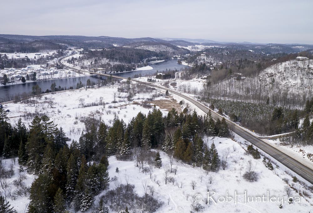
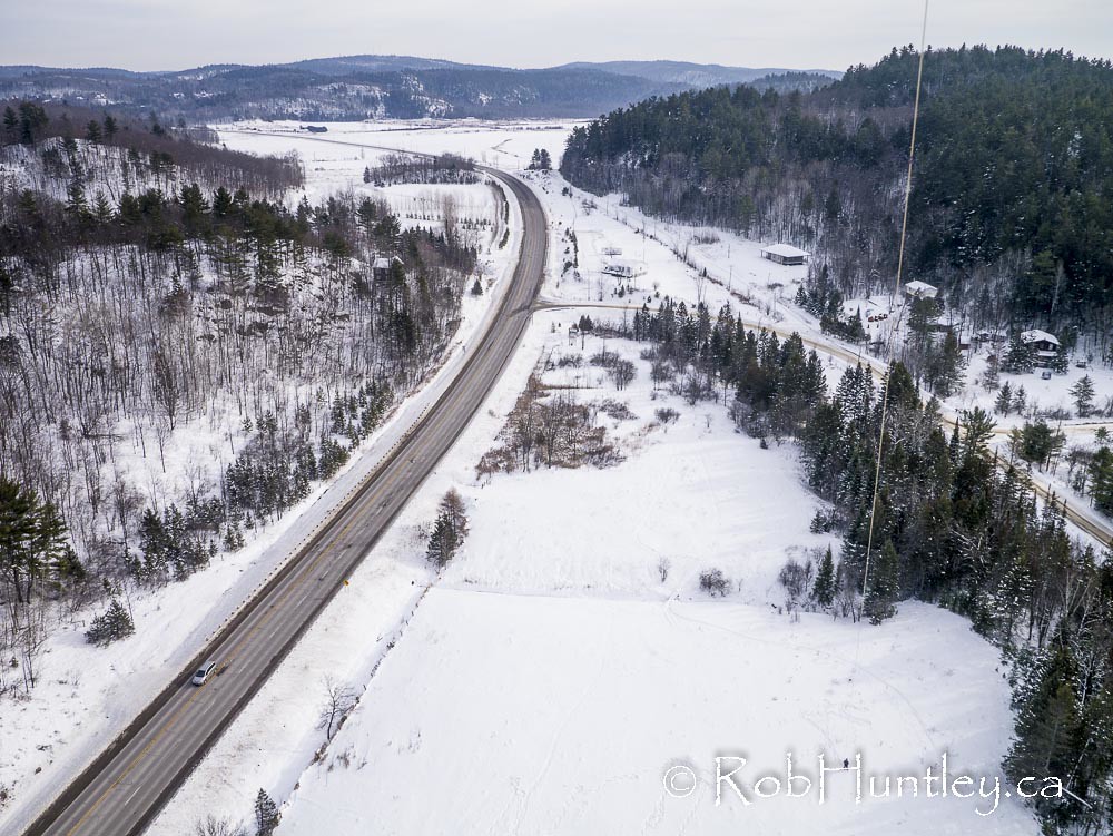
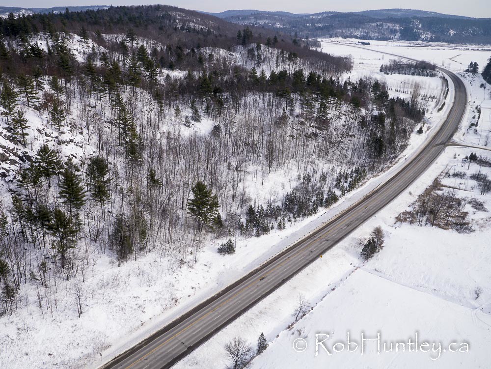
写真

Golden Hour

AJ-wsmoot-20130808_47
AJ-wsmoot-20130808_43
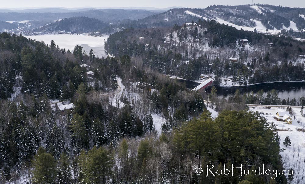
Wakefield covered bridge.
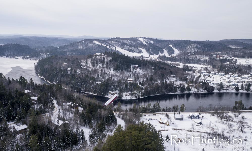
Wakefield covered bridge.

Backlit Tree by Waterfall
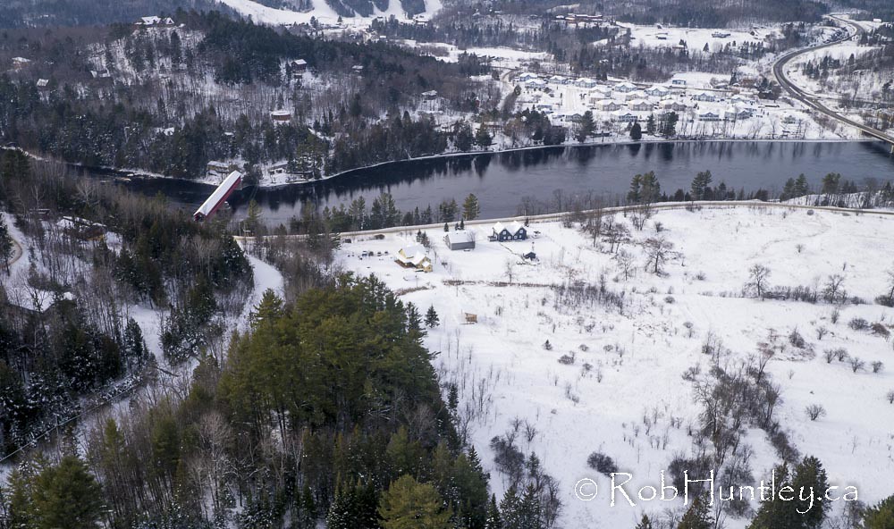
Wakefield covered bridge.
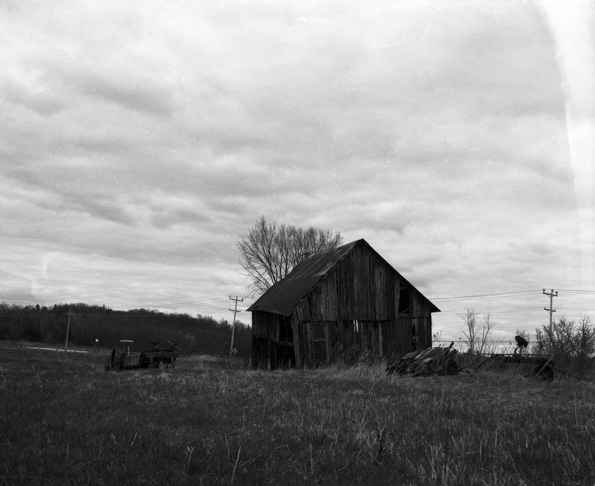
More abandoned goodness
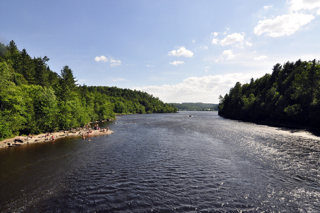
Gatineau River north of Wakefield, Quebec.
Chemin Edelweiss near Wakefield, Quebec.
Chemin Edelweiss near Wakefield, Quebec.

March 2015 Vorlage - View_3
view from the Wakefield Bridge

March 2015 Vorlage - View_2

View from the swim area
4 Chemin McDonald, Low, QC J0X 2C0 カナダの地図
別の場所を検索
近所の場所
Low, QC J0X カナダ
Low, QC, カナダ
カナダ ケベック ラ・ペシュ
Chemin Usher, La Pêche, QC J0X カナダ
Route, Venosta, QC J0X 3E0 カナダ
カナダ 〒J0X ケベック ヴノスタ
カナダ 〒J0X ケベック サント=セシル=ド=マシャム
Chemin Raphaël, Sainte-Cécile-de-Masham, QC J0X 2W0 カナダラファエル通り
8 Route Principale E, Sainte-Cécile-de-Masham, QC J0X 2W0 カナダ
カナダ 〒J0X ケベック カザバジュア
カナダ 〒J0X ケベック デュクロ
カナダ 〒J0X ケベック ラック・シンクレア
Chemin de la Dam-Brûlé, Duclos, QC J0X 1S0 カナダ
カナダ ケベック カザバジュア
77 Chemin du Village d'Aylwin, Kazabazua, QC J0X 1X0 カナダ
Route Principale O, La Pêche, QC J0X カナダ
Chemin Jingletown, Danford Lake, QC J0X 1P0 カナダ
CH Mulligan Ferry, Kazabazua, QC J0X 1X0 カナダ
Chemin Eardley Masham, Québec J0X カナダエアードレ・マシャム通り
カナダ 〒J0X ケベック リュスヴィル
最近の検索
- アメリカ合衆国 アラスカ州 レッド・ドッグ・マイン日の出日の入り時間
- Am bhf, Borken, ドイツアム・バーンホーフ日の出日の入り時間
- 4th St E, Sonoma, CA, USA日の出日の入り時間
- Oakland Ave, Williamsport, PA アメリカ合衆国日の出日の入り時間
- Via Roma, Pieranica CR, イタリアローマ通り日の出日の入り時間
- クロアチア 〒 ドゥブロブニク GradClock Tower of Dubrovnik日の出日の入り時間
- アルゼンチン チュブ州 トレリュー日の出日の入り時間
- Hartfords Bluff Cir, Mt Pleasant, SC アメリカ合衆国日の出日の入り時間
- 日本、熊本県熊本市北区日の出日の入り時間
- 中華人民共和国 福州市 平潭県 平潭島日の出日の入り時間