1 Rue de la Cabale, Faverolles, フランス日の出日の入り時間
Location: イタリア > フランス > フランス カンタル > フランス 〒 ファヴロル >
時間帯:
Europe/Paris
現地時間:
2025-06-22 23:31:25
経度:
3.1532722
緯度:
44.9051537
今日の日の出時刻:
06:01:39 AM
今日の日の入時刻:
09:37:48 PM
今日の日長:
15h 36m 9s
明日の日の出時刻:
06:01:58 AM
明日の日の入時刻:
09:37:54 PM
明日の日長:
15h 35m 56s
すべて表示する
| 日付 | 日出 | 日没 | 日長 |
|---|---|---|---|
| 2025年01月01日 | 08:25:12 AM | 05:17:21 PM | 8h 52m 9s |
| 2025年01月02日 | 08:25:11 AM | 05:18:18 PM | 8h 53m 7s |
| 2025年01月03日 | 08:25:08 AM | 05:19:16 PM | 8h 54m 8s |
| 2025年01月04日 | 08:25:02 AM | 05:20:16 PM | 8h 55m 14s |
| 2025年01月05日 | 08:24:53 AM | 05:21:17 PM | 8h 56m 24s |
| 2025年01月06日 | 08:24:42 AM | 05:22:21 PM | 8h 57m 39s |
| 2025年01月07日 | 08:24:28 AM | 05:23:26 PM | 8h 58m 58s |
| 2025年01月08日 | 08:24:12 AM | 05:24:32 PM | 9h 0m 20s |
| 2025年01月09日 | 08:23:53 AM | 05:25:40 PM | 9h 1m 47s |
| 2025年01月10日 | 08:23:32 AM | 05:26:50 PM | 9h 3m 18s |
| 2025年01月11日 | 08:23:08 AM | 05:28:01 PM | 9h 4m 53s |
| 2025年01月12日 | 08:22:41 AM | 05:29:13 PM | 9h 6m 32s |
| 2025年01月13日 | 08:22:13 AM | 05:30:26 PM | 9h 8m 13s |
| 2025年01月14日 | 08:21:41 AM | 05:31:40 PM | 9h 9m 59s |
| 2025年01月15日 | 08:21:07 AM | 05:32:56 PM | 9h 11m 49s |
| 2025年01月16日 | 08:20:31 AM | 05:34:13 PM | 9h 13m 42s |
| 2025年01月17日 | 08:19:53 AM | 05:35:30 PM | 9h 15m 37s |
| 2025年01月18日 | 08:19:12 AM | 05:36:48 PM | 9h 17m 36s |
| 2025年01月19日 | 08:18:28 AM | 05:38:08 PM | 9h 19m 40s |
| 2025年01月20日 | 08:17:43 AM | 05:39:28 PM | 9h 21m 45s |
| 2025年01月21日 | 08:16:55 AM | 05:40:49 PM | 9h 23m 54s |
| 2025年01月22日 | 08:16:05 AM | 05:42:10 PM | 9h 26m 5s |
| 2025年01月23日 | 08:15:13 AM | 05:43:32 PM | 9h 28m 19s |
| 2025年01月24日 | 08:14:19 AM | 05:44:55 PM | 9h 30m 36s |
| 2025年01月25日 | 08:13:22 AM | 05:46:18 PM | 9h 32m 56s |
| 2025年01月26日 | 08:12:24 AM | 05:47:42 PM | 9h 35m 18s |
| 2025年01月27日 | 08:11:24 AM | 05:49:06 PM | 9h 37m 42s |
| 2025年01月28日 | 08:10:21 AM | 05:50:30 PM | 9h 40m 9s |
| 2025年01月29日 | 08:09:17 AM | 05:51:55 PM | 9h 42m 38s |
| 2025年01月30日 | 08:08:10 AM | 05:53:20 PM | 9h 45m 10s |
| 2025年01月31日 | 08:07:02 AM | 05:54:45 PM | 9h 47m 43s |
| 2025年02月01日 | 08:05:52 AM | 05:56:10 PM | 9h 50m 18s |
| 2025年02月02日 | 08:04:41 AM | 05:57:36 PM | 9h 52m 55s |
| 2025年02月03日 | 08:03:27 AM | 05:59:02 PM | 9h 55m 35s |
| 2025年02月04日 | 08:02:12 AM | 06:00:27 PM | 9h 58m 15s |
| 2025年02月05日 | 08:00:55 AM | 06:01:53 PM | 10h 0m 58s |
| 2025年02月06日 | 07:59:37 AM | 06:03:19 PM | 10h 3m 42s |
| 2025年02月07日 | 07:58:17 AM | 06:04:45 PM | 10h 6m 28s |
| 2025年02月08日 | 07:56:55 AM | 06:06:10 PM | 10h 9m 15s |
| 2025年02月09日 | 07:55:32 AM | 06:07:36 PM | 10h 12m 4s |
| 2025年02月10日 | 07:54:07 AM | 06:09:02 PM | 10h 14m 55s |
| 2025年02月11日 | 07:52:41 AM | 06:10:27 PM | 10h 17m 46s |
| 2025年02月12日 | 07:51:14 AM | 06:11:52 PM | 10h 20m 38s |
| 2025年02月13日 | 07:49:45 AM | 06:13:18 PM | 10h 23m 33s |
| 2025年02月14日 | 07:48:16 AM | 06:14:43 PM | 10h 26m 27s |
| 2025年02月15日 | 07:46:44 AM | 06:16:07 PM | 10h 29m 23s |
| 2025年02月16日 | 07:45:12 AM | 06:17:32 PM | 10h 32m 20s |
| 2025年02月17日 | 07:43:38 AM | 06:18:56 PM | 10h 35m 18s |
| 2025年02月18日 | 07:42:04 AM | 06:20:20 PM | 10h 38m 16s |
| 2025年02月19日 | 07:40:28 AM | 06:21:44 PM | 10h 41m 16s |
| 2025年02月20日 | 07:38:51 AM | 06:23:08 PM | 10h 44m 17s |
| 2025年02月21日 | 07:37:13 AM | 06:24:31 PM | 10h 47m 18s |
| 2025年02月22日 | 07:35:34 AM | 06:25:54 PM | 10h 50m 20s |
| 2025年02月23日 | 07:33:55 AM | 06:27:17 PM | 10h 53m 22s |
| 2025年02月24日 | 07:32:14 AM | 06:28:40 PM | 10h 56m 26s |
| 2025年02月25日 | 07:30:32 AM | 06:30:02 PM | 10h 59m 30s |
| 2025年02月26日 | 07:28:50 AM | 06:31:24 PM | 11h 2m 34s |
| 2025年02月27日 | 07:27:07 AM | 06:32:45 PM | 11h 5m 38s |
| 2025年02月28日 | 07:25:23 AM | 06:34:07 PM | 11h 8m 44s |
| 2025年03月01日 | 07:23:38 AM | 06:35:28 PM | 11h 11m 50s |
| 2025年03月02日 | 07:21:52 AM | 06:36:49 PM | 11h 14m 57s |
| 2025年03月03日 | 07:20:06 AM | 06:38:09 PM | 11h 18m 3s |
| 2025年03月04日 | 07:18:20 AM | 06:39:30 PM | 11h 21m 10s |
| 2025年03月05日 | 07:16:32 AM | 06:40:50 PM | 11h 24m 18s |
| 2025年03月06日 | 07:14:45 AM | 06:42:09 PM | 11h 27m 24s |
| 2025年03月07日 | 07:12:56 AM | 06:43:29 PM | 11h 30m 33s |
| 2025年03月08日 | 07:11:07 AM | 06:44:48 PM | 11h 33m 41s |
| 2025年03月09日 | 07:09:18 AM | 06:46:07 PM | 11h 36m 49s |
| 2025年03月10日 | 07:07:28 AM | 06:47:26 PM | 11h 39m 58s |
| 2025年03月11日 | 07:05:38 AM | 06:48:44 PM | 11h 43m 6s |
| 2025年03月12日 | 07:03:47 AM | 06:50:03 PM | 11h 46m 16s |
| 2025年03月13日 | 07:01:57 AM | 06:51:21 PM | 11h 49m 24s |
| 2025年03月14日 | 07:00:05 AM | 06:52:38 PM | 11h 52m 33s |
| 2025年03月15日 | 06:58:14 AM | 06:53:56 PM | 11h 55m 42s |
| 2025年03月16日 | 06:56:22 AM | 06:55:13 PM | 11h 58m 51s |
| 2025年03月17日 | 06:54:31 AM | 06:56:31 PM | 12h 2m 0s |
| 2025年03月18日 | 06:52:39 AM | 06:57:48 PM | 12h 5m 9s |
| 2025年03月19日 | 06:50:46 AM | 06:59:05 PM | 12h 8m 19s |
| 2025年03月20日 | 06:48:54 AM | 07:00:22 PM | 12h 11m 28s |
| 2025年03月21日 | 06:47:02 AM | 07:01:38 PM | 12h 14m 36s |
| 2025年03月22日 | 06:45:09 AM | 07:02:55 PM | 12h 17m 46s |
| 2025年03月23日 | 06:43:17 AM | 07:04:11 PM | 12h 20m 54s |
| 2025年03月24日 | 06:41:24 AM | 07:05:27 PM | 12h 24m 3s |
| 2025年03月25日 | 06:39:32 AM | 07:06:43 PM | 12h 27m 11s |
| 2025年03月26日 | 06:37:40 AM | 07:08:00 PM | 12h 30m 20s |
| 2025年03月27日 | 06:35:48 AM | 07:09:16 PM | 12h 33m 28s |
| 2025年03月28日 | 06:33:56 AM | 07:10:31 PM | 12h 36m 35s |
| 2025年03月29日 | 06:32:04 AM | 07:11:47 PM | 12h 39m 43s |
| 2025年03月30日 | 07:30:17 AM | 08:13:00 PM | 12h 42m 43s |
| 2025年03月31日 | 07:28:25 AM | 08:14:16 PM | 12h 45m 51s |
| 2025年04月01日 | 07:26:34 AM | 08:15:31 PM | 12h 48m 57s |
| 2025年04月02日 | 07:24:43 AM | 08:16:47 PM | 12h 52m 4s |
| 2025年04月03日 | 07:22:52 AM | 08:18:03 PM | 12h 55m 11s |
| 2025年04月04日 | 07:21:02 AM | 08:19:18 PM | 12h 58m 16s |
| 2025年04月05日 | 07:19:12 AM | 08:20:34 PM | 13h 1m 22s |
| 2025年04月06日 | 07:17:23 AM | 08:21:49 PM | 13h 4m 26s |
| 2025年04月07日 | 07:15:34 AM | 08:23:05 PM | 13h 7m 31s |
| 2025年04月08日 | 07:13:46 AM | 08:24:20 PM | 13h 10m 34s |
| 2025年04月09日 | 07:11:58 AM | 08:25:36 PM | 13h 13m 38s |
| 2025年04月10日 | 07:10:10 AM | 08:26:51 PM | 13h 16m 41s |
| 2025年04月11日 | 07:08:23 AM | 08:28:07 PM | 13h 19m 44s |
| 2025年04月12日 | 07:06:37 AM | 08:29:22 PM | 13h 22m 45s |
| 2025年04月13日 | 07:04:51 AM | 08:30:38 PM | 13h 25m 47s |
| 2025年04月14日 | 07:03:06 AM | 08:31:53 PM | 13h 28m 47s |
| 2025年04月15日 | 07:01:22 AM | 08:33:09 PM | 13h 31m 47s |
| 2025年04月16日 | 06:59:39 AM | 08:34:24 PM | 13h 34m 45s |
| 2025年04月17日 | 06:57:56 AM | 08:35:40 PM | 13h 37m 44s |
| 2025年04月18日 | 06:56:14 AM | 08:36:55 PM | 13h 40m 41s |
| 2025年04月19日 | 06:54:33 AM | 08:38:11 PM | 13h 43m 38s |
| 2025年04月20日 | 06:52:53 AM | 08:39:26 PM | 13h 46m 33s |
| 2025年04月21日 | 06:51:14 AM | 08:40:41 PM | 13h 49m 27s |
| 2025年04月22日 | 06:49:35 AM | 08:41:57 PM | 13h 52m 22s |
| 2025年04月23日 | 06:47:58 AM | 08:43:12 PM | 13h 55m 14s |
| 2025年04月24日 | 06:46:22 AM | 08:44:27 PM | 13h 58m 5s |
| 2025年04月25日 | 06:44:47 AM | 08:45:42 PM | 14h 0m 55s |
| 2025年04月26日 | 06:43:12 AM | 08:46:57 PM | 14h 3m 45s |
| 2025年04月27日 | 06:41:39 AM | 08:48:12 PM | 14h 6m 33s |
| 2025年04月28日 | 06:40:07 AM | 08:49:27 PM | 14h 9m 20s |
| 2025年04月29日 | 06:38:37 AM | 08:50:41 PM | 14h 12m 4s |
| 2025年04月30日 | 06:37:07 AM | 08:51:56 PM | 14h 14m 49s |
| 2025年05月01日 | 06:35:39 AM | 08:53:10 PM | 14h 17m 31s |
| 2025年05月02日 | 06:34:12 AM | 08:54:24 PM | 14h 20m 12s |
| 2025年05月03日 | 06:32:47 AM | 08:55:37 PM | 14h 22m 50s |
| 2025年05月04日 | 06:31:23 AM | 08:56:51 PM | 14h 25m 28s |
| 2025年05月05日 | 06:30:00 AM | 08:58:04 PM | 14h 28m 4s |
| 2025年05月06日 | 06:28:38 AM | 08:59:17 PM | 14h 30m 39s |
| 2025年05月07日 | 06:27:19 AM | 09:00:29 PM | 14h 33m 10s |
| 2025年05月08日 | 06:26:00 AM | 09:01:42 PM | 14h 35m 42s |
| 2025年05月09日 | 06:24:44 AM | 09:02:53 PM | 14h 38m 9s |
| 2025年05月10日 | 06:23:28 AM | 09:04:05 PM | 14h 40m 37s |
| 2025年05月11日 | 06:22:15 AM | 09:05:15 PM | 14h 43m 0s |
| 2025年05月12日 | 06:21:03 AM | 09:06:26 PM | 14h 45m 23s |
| 2025年05月13日 | 06:19:53 AM | 09:07:35 PM | 14h 47m 42s |
| 2025年05月14日 | 06:18:45 AM | 09:08:44 PM | 14h 49m 59s |
| 2025年05月15日 | 06:17:38 AM | 09:09:53 PM | 14h 52m 15s |
| 2025年05月16日 | 06:16:33 AM | 09:11:01 PM | 14h 54m 28s |
| 2025年05月17日 | 06:15:30 AM | 09:12:08 PM | 14h 56m 38s |
| 2025年05月18日 | 06:14:29 AM | 09:13:14 PM | 14h 58m 45s |
| 2025年05月19日 | 06:13:30 AM | 09:14:19 PM | 15h 0m 49s |
| 2025年05月20日 | 06:12:32 AM | 09:15:24 PM | 15h 2m 52s |
| 2025年05月21日 | 06:11:37 AM | 09:16:28 PM | 15h 4m 51s |
| 2025年05月22日 | 06:10:44 AM | 09:17:30 PM | 15h 6m 46s |
| 2025年05月23日 | 06:09:52 AM | 09:18:32 PM | 15h 8m 40s |
| 2025年05月24日 | 06:09:03 AM | 09:19:33 PM | 15h 10m 30s |
| 2025年05月25日 | 06:08:16 AM | 09:20:33 PM | 15h 12m 17s |
| 2025年05月26日 | 06:07:31 AM | 09:21:31 PM | 15h 14m 0s |
| 2025年05月27日 | 06:06:48 AM | 09:22:28 PM | 15h 15m 40s |
| 2025年05月28日 | 06:06:07 AM | 09:23:24 PM | 15h 17m 17s |
| 2025年05月29日 | 06:05:29 AM | 09:24:19 PM | 15h 18m 50s |
| 2025年05月30日 | 06:04:52 AM | 09:25:13 PM | 15h 20m 21s |
| 2025年05月31日 | 06:04:18 AM | 09:26:05 PM | 15h 21m 47s |
| 2025年06月01日 | 06:03:46 AM | 09:26:55 PM | 15h 23m 9s |
| 2025年06月02日 | 06:03:17 AM | 09:27:44 PM | 15h 24m 27s |
| 2025年06月03日 | 06:02:49 AM | 09:28:32 PM | 15h 25m 43s |
| 2025年06月04日 | 06:02:24 AM | 09:29:18 PM | 15h 26m 54s |
| 2025年06月05日 | 06:02:01 AM | 09:30:02 PM | 15h 28m 1s |
| 2025年06月06日 | 06:01:41 AM | 09:30:45 PM | 15h 29m 4s |
| 2025年06月07日 | 06:01:23 AM | 09:31:25 PM | 15h 30m 2s |
| 2025年06月08日 | 06:01:07 AM | 09:32:05 PM | 15h 30m 58s |
| 2025年06月09日 | 06:00:53 AM | 09:32:42 PM | 15h 31m 49s |
| 2025年06月10日 | 06:00:42 AM | 09:33:17 PM | 15h 32m 35s |
| 2025年06月11日 | 06:00:33 AM | 09:33:51 PM | 15h 33m 18s |
| 2025年06月12日 | 06:00:26 AM | 09:34:22 PM | 15h 33m 56s |
| 2025年06月13日 | 06:00:22 AM | 09:34:52 PM | 15h 34m 30s |
| 2025年06月14日 | 06:00:20 AM | 09:35:19 PM | 15h 34m 59s |
| 2025年06月15日 | 06:00:20 AM | 09:35:45 PM | 15h 35m 25s |
| 2025年06月16日 | 06:00:23 AM | 09:36:08 PM | 15h 35m 45s |
| 2025年06月17日 | 06:00:28 AM | 09:36:29 PM | 15h 36m 1s |
| 2025年06月18日 | 06:00:35 AM | 09:36:48 PM | 15h 36m 13s |
| 2025年06月19日 | 06:00:44 AM | 09:37:05 PM | 15h 36m 21s |
| 2025年06月20日 | 06:00:56 AM | 09:37:20 PM | 15h 36m 24s |
| 2025年06月21日 | 06:01:10 AM | 09:37:32 PM | 15h 36m 22s |
| 2025年06月22日 | 06:01:25 AM | 09:37:42 PM | 15h 36m 17s |
| 2025年06月23日 | 06:01:43 AM | 09:37:50 PM | 15h 36m 7s |
| 2025年06月24日 | 06:02:04 AM | 09:37:55 PM | 15h 35m 51s |
| 2025年06月25日 | 06:02:26 AM | 09:37:59 PM | 15h 35m 33s |
| 2025年06月26日 | 06:02:50 AM | 09:37:59 PM | 15h 35m 9s |
| 2025年06月27日 | 06:03:16 AM | 09:37:58 PM | 15h 34m 42s |
| 2025年06月28日 | 06:03:45 AM | 09:37:54 PM | 15h 34m 9s |
| 2025年06月29日 | 06:04:15 AM | 09:37:48 PM | 15h 33m 33s |
| 2025年06月30日 | 06:04:47 AM | 09:37:39 PM | 15h 32m 52s |
| 2025年07月01日 | 06:05:21 AM | 09:37:28 PM | 15h 32m 7s |
| 2025年07月02日 | 06:05:56 AM | 09:37:15 PM | 15h 31m 19s |
| 2025年07月03日 | 06:06:34 AM | 09:37:00 PM | 15h 30m 26s |
| 2025年07月04日 | 06:07:13 AM | 09:36:42 PM | 15h 29m 29s |
| 2025年07月05日 | 06:07:54 AM | 09:36:21 PM | 15h 28m 27s |
| 2025年07月06日 | 06:08:37 AM | 09:35:58 PM | 15h 27m 21s |
| 2025年07月07日 | 06:09:21 AM | 09:35:33 PM | 15h 26m 12s |
| 2025年07月08日 | 06:10:06 AM | 09:35:06 PM | 15h 25m 0s |
| 2025年07月09日 | 06:10:53 AM | 09:34:36 PM | 15h 23m 43s |
| 2025年07月10日 | 06:11:42 AM | 09:34:04 PM | 15h 22m 22s |
| 2025年07月11日 | 06:12:32 AM | 09:33:30 PM | 15h 20m 58s |
| 2025年07月12日 | 06:13:23 AM | 09:32:54 PM | 15h 19m 31s |
| 2025年07月13日 | 06:14:15 AM | 09:32:15 PM | 15h 18m 0s |
| 2025年07月14日 | 06:15:09 AM | 09:31:34 PM | 15h 16m 25s |
| 2025年07月15日 | 06:16:04 AM | 09:30:51 PM | 15h 14m 47s |
| 2025年07月16日 | 06:17:00 AM | 09:30:06 PM | 15h 13m 6s |
| 2025年07月17日 | 06:17:57 AM | 09:29:18 PM | 15h 11m 21s |
| 2025年07月18日 | 06:18:56 AM | 09:28:29 PM | 15h 9m 33s |
| 2025年07月19日 | 06:19:55 AM | 09:27:37 PM | 15h 7m 42s |
| 2025年07月20日 | 06:20:55 AM | 09:26:43 PM | 15h 5m 48s |
| 2025年07月21日 | 06:21:56 AM | 09:25:48 PM | 15h 3m 52s |
| 2025年07月22日 | 06:22:58 AM | 09:24:50 PM | 15h 1m 52s |
| 2025年07月23日 | 06:24:00 AM | 09:23:50 PM | 14h 59m 50s |
| 2025年07月24日 | 06:25:04 AM | 09:22:49 PM | 14h 57m 45s |
| 2025年07月25日 | 06:26:08 AM | 09:21:45 PM | 14h 55m 37s |
| 2025年07月26日 | 06:27:12 AM | 09:20:40 PM | 14h 53m 28s |
| 2025年07月27日 | 06:28:18 AM | 09:19:33 PM | 14h 51m 15s |
| 2025年07月28日 | 06:29:24 AM | 09:18:24 PM | 14h 49m 0s |
| 2025年07月29日 | 06:30:30 AM | 09:17:13 PM | 14h 46m 43s |
| 2025年07月30日 | 06:31:37 AM | 09:16:01 PM | 14h 44m 24s |
| 2025年07月31日 | 06:32:45 AM | 09:14:47 PM | 14h 42m 2s |
| 2025年08月01日 | 06:33:53 AM | 09:13:31 PM | 14h 39m 38s |
| 2025年08月02日 | 06:35:01 AM | 09:12:13 PM | 14h 37m 12s |
| 2025年08月03日 | 06:36:10 AM | 09:10:54 PM | 14h 34m 44s |
| 2025年08月04日 | 06:37:19 AM | 09:09:34 PM | 14h 32m 15s |
| 2025年08月05日 | 06:38:28 AM | 09:08:12 PM | 14h 29m 44s |
| 2025年08月06日 | 06:39:38 AM | 09:06:48 PM | 14h 27m 10s |
| 2025年08月07日 | 06:40:48 AM | 09:05:23 PM | 14h 24m 35s |
| 2025年08月08日 | 06:41:58 AM | 09:03:57 PM | 14h 21m 59s |
| 2025年08月09日 | 06:43:08 AM | 09:02:29 PM | 14h 19m 21s |
| 2025年08月10日 | 06:44:19 AM | 09:01:00 PM | 14h 16m 41s |
| 2025年08月11日 | 06:45:29 AM | 08:59:30 PM | 14h 14m 1s |
| 2025年08月12日 | 06:46:40 AM | 08:57:59 PM | 14h 11m 19s |
| 2025年08月13日 | 06:47:51 AM | 08:56:26 PM | 14h 8m 35s |
| 2025年08月14日 | 06:49:02 AM | 08:54:52 PM | 14h 5m 50s |
| 2025年08月15日 | 06:50:13 AM | 08:53:17 PM | 14h 3m 4s |
| 2025年08月16日 | 06:51:24 AM | 08:51:41 PM | 14h 0m 17s |
| 2025年08月17日 | 06:52:35 AM | 08:50:03 PM | 13h 57m 28s |
| 2025年08月18日 | 06:53:46 AM | 08:48:25 PM | 13h 54m 39s |
| 2025年08月19日 | 06:54:57 AM | 08:46:46 PM | 13h 51m 49s |
| 2025年08月20日 | 06:56:09 AM | 08:45:05 PM | 13h 48m 56s |
| 2025年08月21日 | 06:57:20 AM | 08:43:24 PM | 13h 46m 4s |
| 2025年08月22日 | 06:58:31 AM | 08:41:42 PM | 13h 43m 11s |
| 2025年08月23日 | 06:59:42 AM | 08:39:59 PM | 13h 40m 17s |
| 2025年08月24日 | 07:00:54 AM | 08:38:15 PM | 13h 37m 21s |
| 2025年08月25日 | 07:02:05 AM | 08:36:31 PM | 13h 34m 26s |
| 2025年08月26日 | 07:03:16 AM | 08:34:45 PM | 13h 31m 29s |
| 2025年08月27日 | 07:04:27 AM | 08:32:59 PM | 13h 28m 32s |
| 2025年08月28日 | 07:05:38 AM | 08:31:12 PM | 13h 25m 34s |
| 2025年08月29日 | 07:06:49 AM | 08:29:25 PM | 13h 22m 36s |
| 2025年08月30日 | 07:08:00 AM | 08:27:37 PM | 13h 19m 37s |
| 2025年08月31日 | 07:09:11 AM | 08:25:48 PM | 13h 16m 37s |
| 2025年09月01日 | 07:10:22 AM | 08:23:59 PM | 13h 13m 37s |
| 2025年09月02日 | 07:11:33 AM | 08:22:09 PM | 13h 10m 36s |
| 2025年09月03日 | 07:12:44 AM | 08:20:18 PM | 13h 7m 34s |
| 2025年09月04日 | 07:13:55 AM | 08:18:28 PM | 13h 4m 33s |
| 2025年09月05日 | 07:15:06 AM | 08:16:36 PM | 13h 1m 30s |
| 2025年09月06日 | 07:16:17 AM | 08:14:45 PM | 12h 58m 28s |
| 2025年09月07日 | 07:17:28 AM | 08:12:52 PM | 12h 55m 24s |
| 2025年09月08日 | 07:18:39 AM | 08:11:00 PM | 12h 52m 21s |
| 2025年09月09日 | 07:19:50 AM | 08:09:07 PM | 12h 49m 17s |
| 2025年09月10日 | 07:21:01 AM | 08:07:14 PM | 12h 46m 13s |
| 2025年09月11日 | 07:22:12 AM | 08:05:21 PM | 12h 43m 9s |
| 2025年09月12日 | 07:23:23 AM | 08:03:27 PM | 12h 40m 4s |
| 2025年09月13日 | 07:24:34 AM | 08:01:34 PM | 12h 37m 0s |
| 2025年09月14日 | 07:25:45 AM | 07:59:40 PM | 12h 33m 55s |
| 2025年09月15日 | 07:26:56 AM | 07:57:46 PM | 12h 30m 50s |
| 2025年09月16日 | 07:28:08 AM | 07:55:51 PM | 12h 27m 43s |
| 2025年09月17日 | 07:29:19 AM | 07:53:57 PM | 12h 24m 38s |
| 2025年09月18日 | 07:30:30 AM | 07:52:03 PM | 12h 21m 33s |
| 2025年09月19日 | 07:31:42 AM | 07:50:09 PM | 12h 18m 27s |
| 2025年09月20日 | 07:32:54 AM | 07:48:14 PM | 12h 15m 20s |
| 2025年09月21日 | 07:34:06 AM | 07:46:20 PM | 12h 12m 14s |
| 2025年09月22日 | 07:35:17 AM | 07:44:26 PM | 12h 9m 9s |
| 2025年09月23日 | 07:36:30 AM | 07:42:32 PM | 12h 6m 2s |
| 2025年09月24日 | 07:37:42 AM | 07:40:38 PM | 12h 2m 56s |
| 2025年09月25日 | 07:38:54 AM | 07:38:44 PM | 11h 59m 50s |
| 2025年09月26日 | 07:40:07 AM | 07:36:50 PM | 11h 56m 43s |
| 2025年09月27日 | 07:41:20 AM | 07:34:57 PM | 11h 53m 37s |
| 2025年09月28日 | 07:42:32 AM | 07:33:04 PM | 11h 50m 32s |
| 2025年09月29日 | 07:43:46 AM | 07:31:11 PM | 11h 47m 25s |
| 2025年09月30日 | 07:44:59 AM | 07:29:18 PM | 11h 44m 19s |
| 2025年10月01日 | 07:46:13 AM | 07:27:26 PM | 11h 41m 13s |
| 2025年10月02日 | 07:47:27 AM | 07:25:34 PM | 11h 38m 7s |
| 2025年10月03日 | 07:48:41 AM | 07:23:43 PM | 11h 35m 2s |
| 2025年10月04日 | 07:49:55 AM | 07:21:52 PM | 11h 31m 57s |
| 2025年10月05日 | 07:51:10 AM | 07:20:01 PM | 11h 28m 51s |
| 2025年10月06日 | 07:52:25 AM | 07:18:11 PM | 11h 25m 46s |
| 2025年10月07日 | 07:53:40 AM | 07:16:22 PM | 11h 22m 42s |
| 2025年10月08日 | 07:54:55 AM | 07:14:33 PM | 11h 19m 38s |
| 2025年10月09日 | 07:56:11 AM | 07:12:44 PM | 11h 16m 33s |
| 2025年10月10日 | 07:57:27 AM | 07:10:57 PM | 11h 13m 30s |
| 2025年10月11日 | 07:58:43 AM | 07:09:10 PM | 11h 10m 27s |
| 2025年10月12日 | 08:00:00 AM | 07:07:23 PM | 11h 7m 23s |
| 2025年10月13日 | 08:01:17 AM | 07:05:38 PM | 11h 4m 21s |
| 2025年10月14日 | 08:02:34 AM | 07:03:53 PM | 11h 1m 19s |
| 2025年10月15日 | 08:03:52 AM | 07:02:09 PM | 10h 58m 17s |
| 2025年10月16日 | 08:05:10 AM | 07:00:26 PM | 10h 55m 16s |
| 2025年10月17日 | 08:06:28 AM | 06:58:44 PM | 10h 52m 16s |
| 2025年10月18日 | 08:07:46 AM | 06:57:02 PM | 10h 49m 16s |
| 2025年10月19日 | 08:09:05 AM | 06:55:22 PM | 10h 46m 17s |
| 2025年10月20日 | 08:10:24 AM | 06:53:42 PM | 10h 43m 18s |
| 2025年10月21日 | 08:11:44 AM | 06:52:04 PM | 10h 40m 20s |
| 2025年10月22日 | 08:13:03 AM | 06:50:27 PM | 10h 37m 24s |
| 2025年10月23日 | 08:14:23 AM | 06:48:50 PM | 10h 34m 27s |
| 2025年10月24日 | 08:15:44 AM | 06:47:15 PM | 10h 31m 31s |
| 2025年10月25日 | 08:17:04 AM | 06:45:41 PM | 10h 28m 37s |
| 2025年10月26日 | 07:18:28 AM | 05:44:05 PM | 10h 25m 37s |
| 2025年10月27日 | 07:19:49 AM | 05:42:33 PM | 10h 22m 44s |
| 2025年10月28日 | 07:21:10 AM | 05:41:03 PM | 10h 19m 53s |
| 2025年10月29日 | 07:22:32 AM | 05:39:34 PM | 10h 17m 2s |
| 2025年10月30日 | 07:23:53 AM | 05:38:07 PM | 10h 14m 14s |
| 2025年10月31日 | 07:25:15 AM | 05:36:41 PM | 10h 11m 26s |
| 2025年11月01日 | 07:26:37 AM | 05:35:17 PM | 10h 8m 40s |
| 2025年11月02日 | 07:27:59 AM | 05:33:53 PM | 10h 5m 54s |
| 2025年11月03日 | 07:29:21 AM | 05:32:32 PM | 10h 3m 11s |
| 2025年11月04日 | 07:30:43 AM | 05:31:12 PM | 10h 0m 29s |
| 2025年11月05日 | 07:32:05 AM | 05:29:54 PM | 9h 57m 49s |
| 2025年11月06日 | 07:33:28 AM | 05:28:37 PM | 9h 55m 9s |
| 2025年11月07日 | 07:34:50 AM | 05:27:22 PM | 9h 52m 32s |
| 2025年11月08日 | 07:36:12 AM | 05:26:09 PM | 9h 49m 57s |
| 2025年11月09日 | 07:37:34 AM | 05:24:57 PM | 9h 47m 23s |
| 2025年11月10日 | 07:38:56 AM | 05:23:48 PM | 9h 44m 52s |
| 2025年11月11日 | 07:40:18 AM | 05:22:40 PM | 9h 42m 22s |
| 2025年11月12日 | 07:41:39 AM | 05:21:34 PM | 9h 39m 55s |
| 2025年11月13日 | 07:43:01 AM | 05:20:30 PM | 9h 37m 29s |
| 2025年11月14日 | 07:44:22 AM | 05:19:28 PM | 9h 35m 6s |
| 2025年11月15日 | 07:45:42 AM | 05:18:28 PM | 9h 32m 46s |
| 2025年11月16日 | 07:47:03 AM | 05:17:30 PM | 9h 30m 27s |
| 2025年11月17日 | 07:48:22 AM | 05:16:35 PM | 9h 28m 13s |
| 2025年11月18日 | 07:49:42 AM | 05:15:41 PM | 9h 25m 59s |
| 2025年11月19日 | 07:51:01 AM | 05:14:50 PM | 9h 23m 49s |
| 2025年11月20日 | 07:52:19 AM | 05:14:00 PM | 9h 21m 41s |
| 2025年11月21日 | 07:53:36 AM | 05:13:14 PM | 9h 19m 38s |
| 2025年11月22日 | 07:54:53 AM | 05:12:29 PM | 9h 17m 36s |
| 2025年11月23日 | 07:56:10 AM | 05:11:47 PM | 9h 15m 37s |
| 2025年11月24日 | 07:57:25 AM | 05:11:07 PM | 9h 13m 42s |
| 2025年11月25日 | 07:58:39 AM | 05:10:29 PM | 9h 11m 50s |
| 2025年11月26日 | 07:59:53 AM | 05:09:54 PM | 9h 10m 1s |
| 2025年11月27日 | 08:01:05 AM | 05:09:21 PM | 9h 8m 16s |
| 2025年11月28日 | 08:02:17 AM | 05:08:51 PM | 9h 6m 34s |
| 2025年11月29日 | 08:03:27 AM | 05:08:23 PM | 9h 4m 56s |
| 2025年11月30日 | 08:04:36 AM | 05:07:58 PM | 9h 3m 22s |
| 2025年12月01日 | 08:05:44 AM | 05:07:35 PM | 9h 1m 51s |
| 2025年12月02日 | 08:06:51 AM | 05:07:15 PM | 9h 0m 24s |
| 2025年12月03日 | 08:07:56 AM | 05:06:58 PM | 8h 59m 2s |
| 2025年12月04日 | 08:08:59 AM | 05:06:43 PM | 8h 57m 44s |
| 2025年12月05日 | 08:10:02 AM | 05:06:31 PM | 8h 56m 29s |
| 2025年12月06日 | 08:11:02 AM | 05:06:21 PM | 8h 55m 19s |
| 2025年12月07日 | 08:12:01 AM | 05:06:14 PM | 8h 54m 13s |
| 2025年12月08日 | 08:12:58 AM | 05:06:10 PM | 8h 53m 12s |
| 2025年12月09日 | 08:13:54 AM | 05:06:08 PM | 8h 52m 14s |
| 2025年12月10日 | 08:14:48 AM | 05:06:09 PM | 8h 51m 21s |
| 2025年12月11日 | 08:15:40 AM | 05:06:12 PM | 8h 50m 32s |
| 2025年12月12日 | 08:16:29 AM | 05:06:19 PM | 8h 49m 50s |
| 2025年12月13日 | 08:17:17 AM | 05:06:28 PM | 8h 49m 11s |
| 2025年12月14日 | 08:18:03 AM | 05:06:39 PM | 8h 48m 36s |
| 2025年12月15日 | 08:18:47 AM | 05:06:53 PM | 8h 48m 6s |
| 2025年12月16日 | 08:19:29 AM | 05:07:10 PM | 8h 47m 41s |
| 2025年12月17日 | 08:20:08 AM | 05:07:29 PM | 8h 47m 21s |
| 2025年12月18日 | 08:20:45 AM | 05:07:51 PM | 8h 47m 6s |
| 2025年12月19日 | 08:21:20 AM | 05:08:16 PM | 8h 46m 56s |
| 2025年12月20日 | 08:21:53 AM | 05:08:42 PM | 8h 46m 49s |
| 2025年12月21日 | 08:22:23 AM | 05:09:12 PM | 8h 46m 49s |
| 2025年12月22日 | 08:22:51 AM | 05:09:44 PM | 8h 46m 53s |
| 2025年12月23日 | 08:23:16 AM | 05:10:18 PM | 8h 47m 2s |
| 2025年12月24日 | 08:23:39 AM | 05:10:55 PM | 8h 47m 16s |
| 2025年12月25日 | 08:24:00 AM | 05:11:34 PM | 8h 47m 34s |
| 2025年12月26日 | 08:24:18 AM | 05:12:15 PM | 8h 47m 57s |
| 2025年12月27日 | 08:24:33 AM | 05:12:58 PM | 8h 48m 25s |
| 2025年12月28日 | 08:24:46 AM | 05:13:44 PM | 8h 48m 58s |
| 2025年12月29日 | 08:24:56 AM | 05:14:32 PM | 8h 49m 36s |
| 2025年12月30日 | 08:25:04 AM | 05:15:22 PM | 8h 50m 18s |
| 2025年12月31日 | 08:25:09 AM | 05:16:14 PM | 8h 51m 5s |
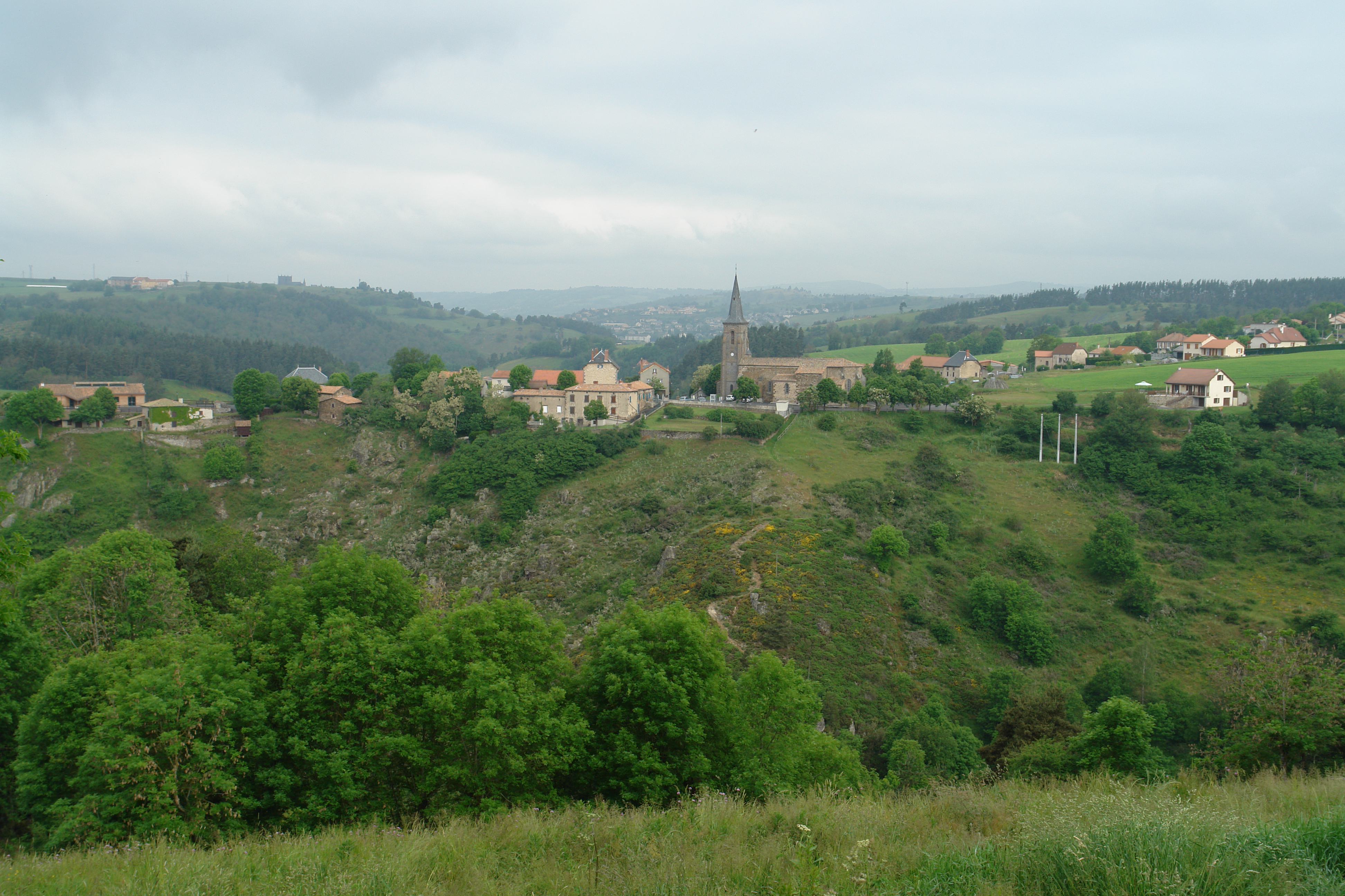
写真
FRE_2717 - copie 2

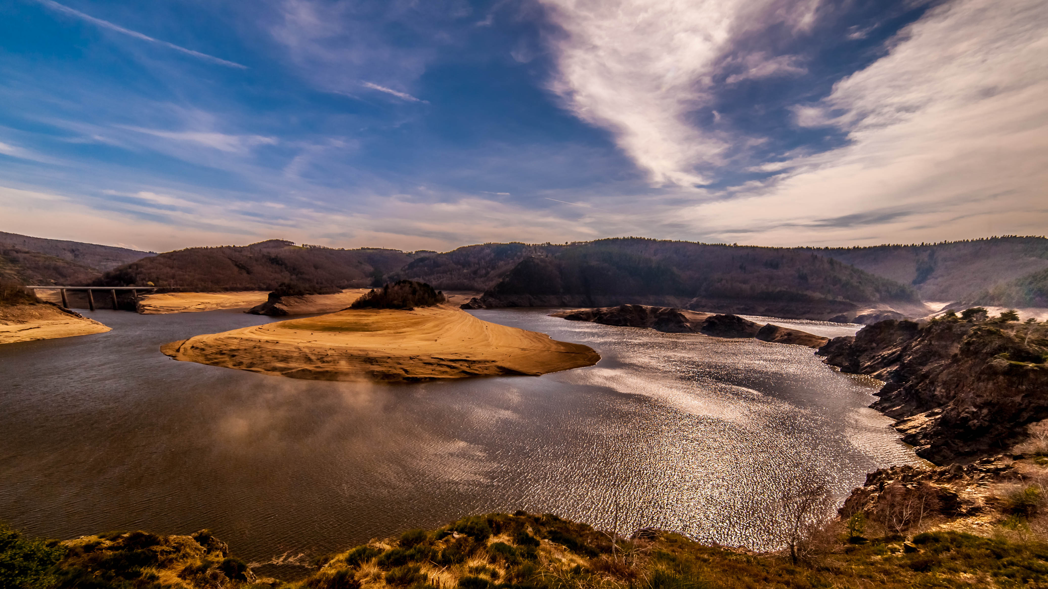
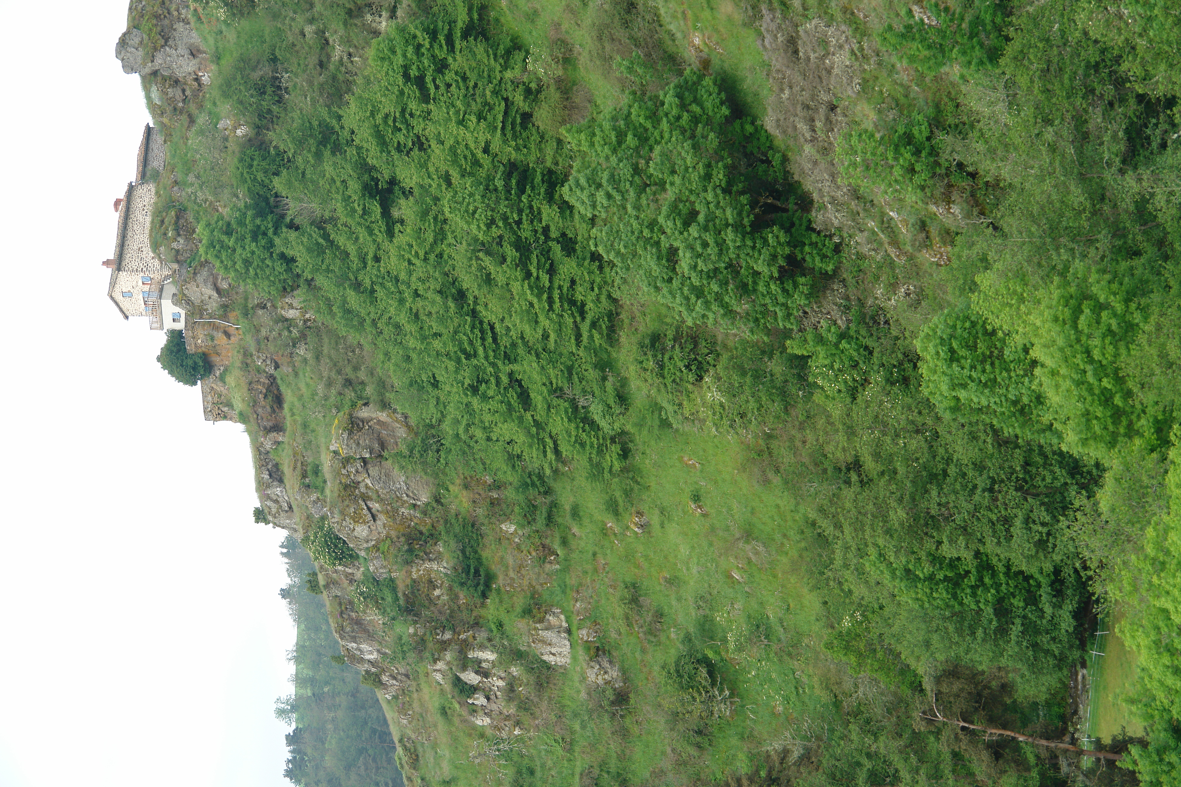
margeride (porte des fées)
COUP de FOUDRE sur la PLANÈZE

TdF11-1031

TdF11-1025
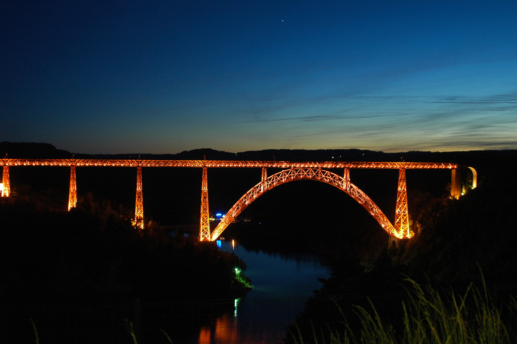
Viaduc de Garabit (1)
lozere de nuit_6
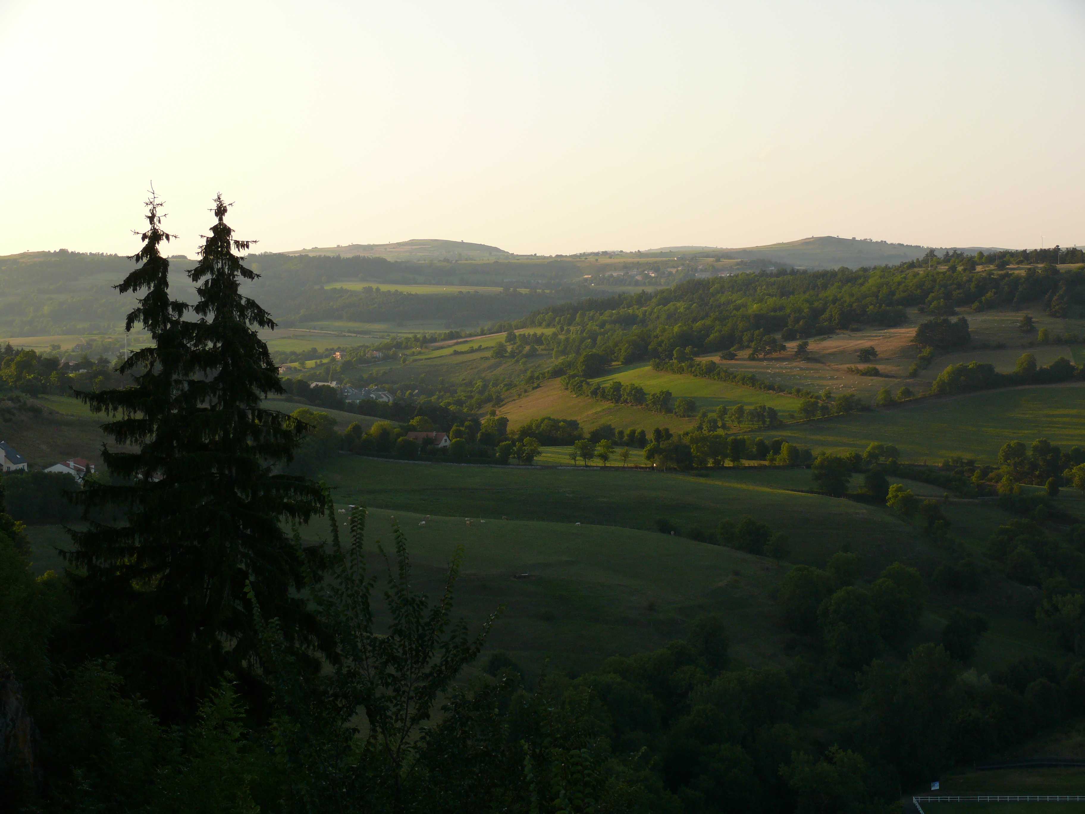
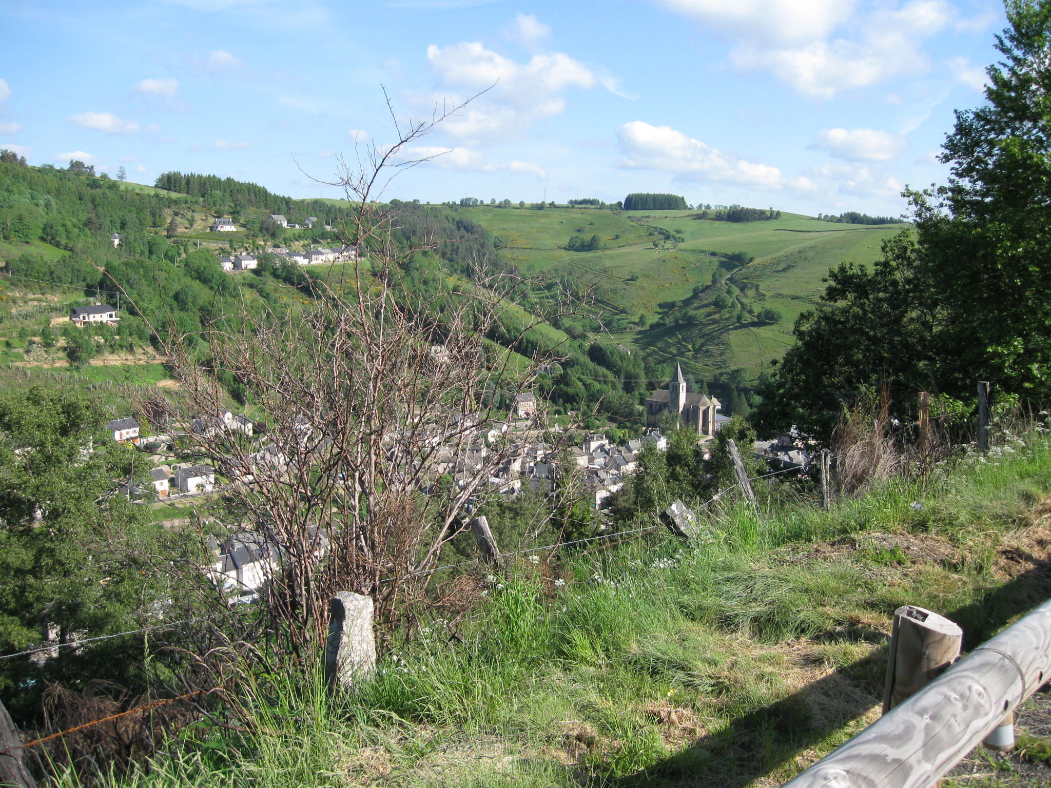
St Flour
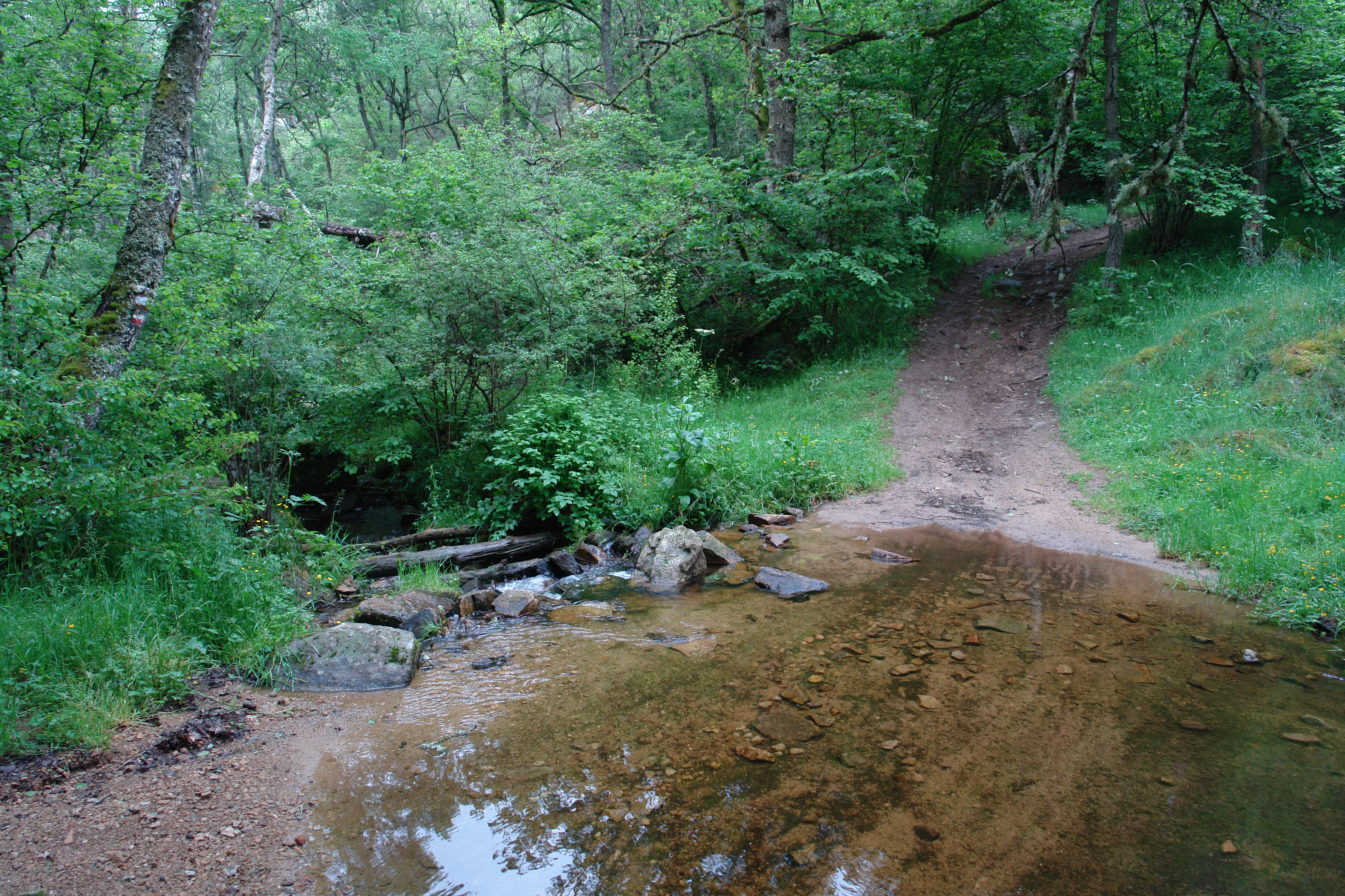
A stream crosses the GR
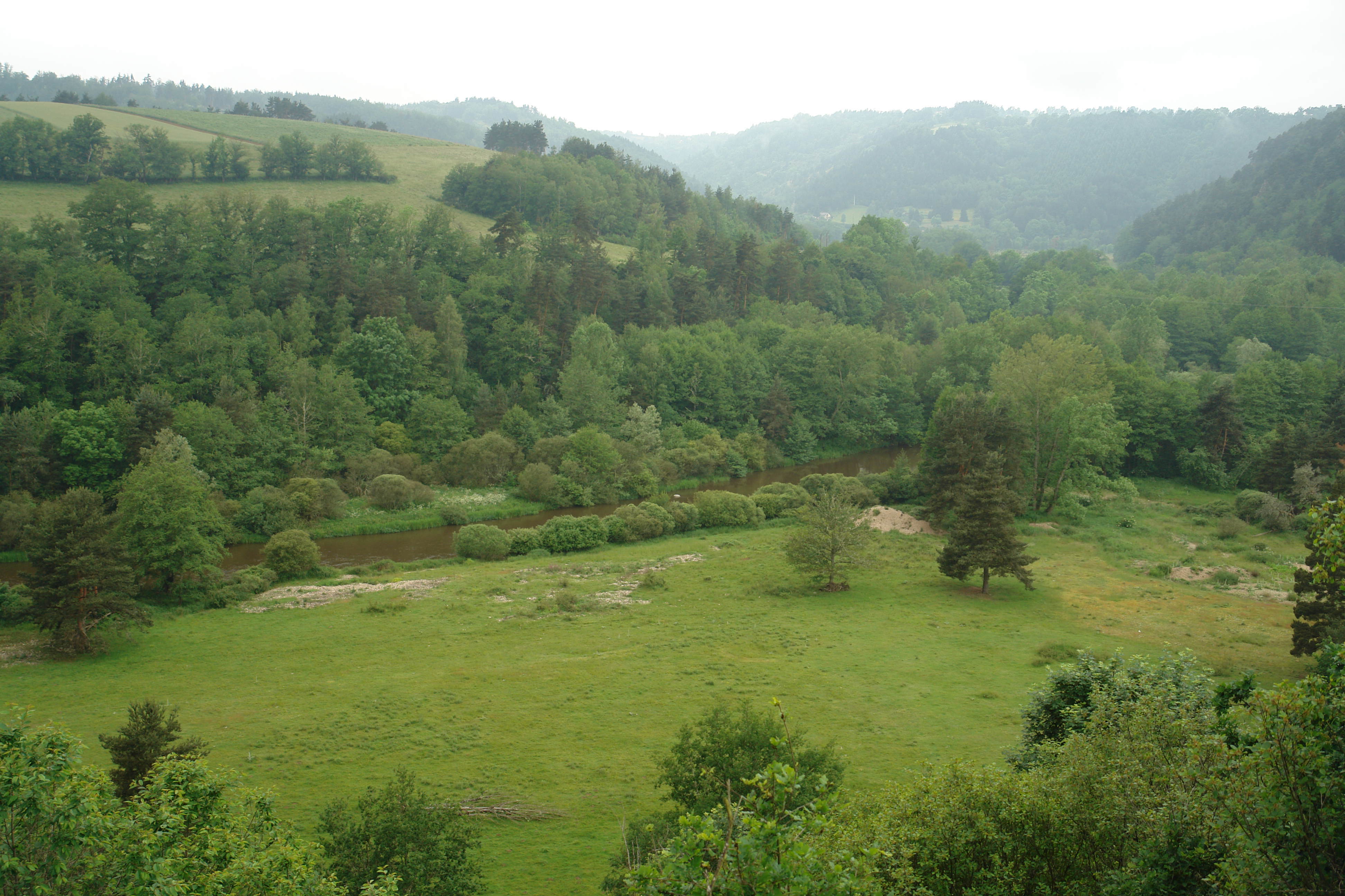
The Truyere valley
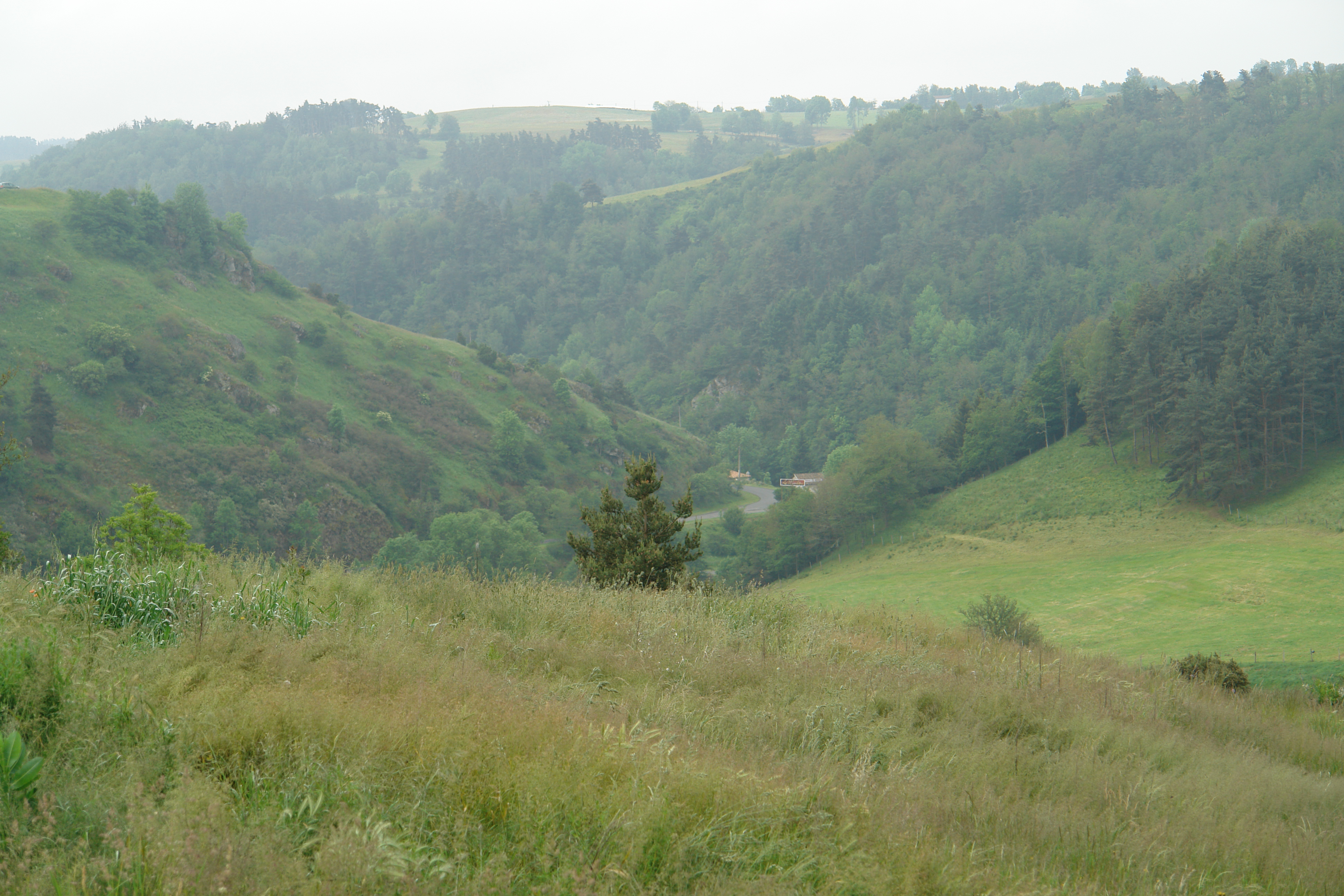
The steep valley sides near St Georges
DSC08356.JPG
DSC08362.JPG

DSC08361.JPG
St Flour
DSC08354.JPG
The Garabit Aire
Near St Georges
The valley of the l'Ander, near St George
Approaching St Georges
Looking down on Chaudes-Aigues

St.-Flour
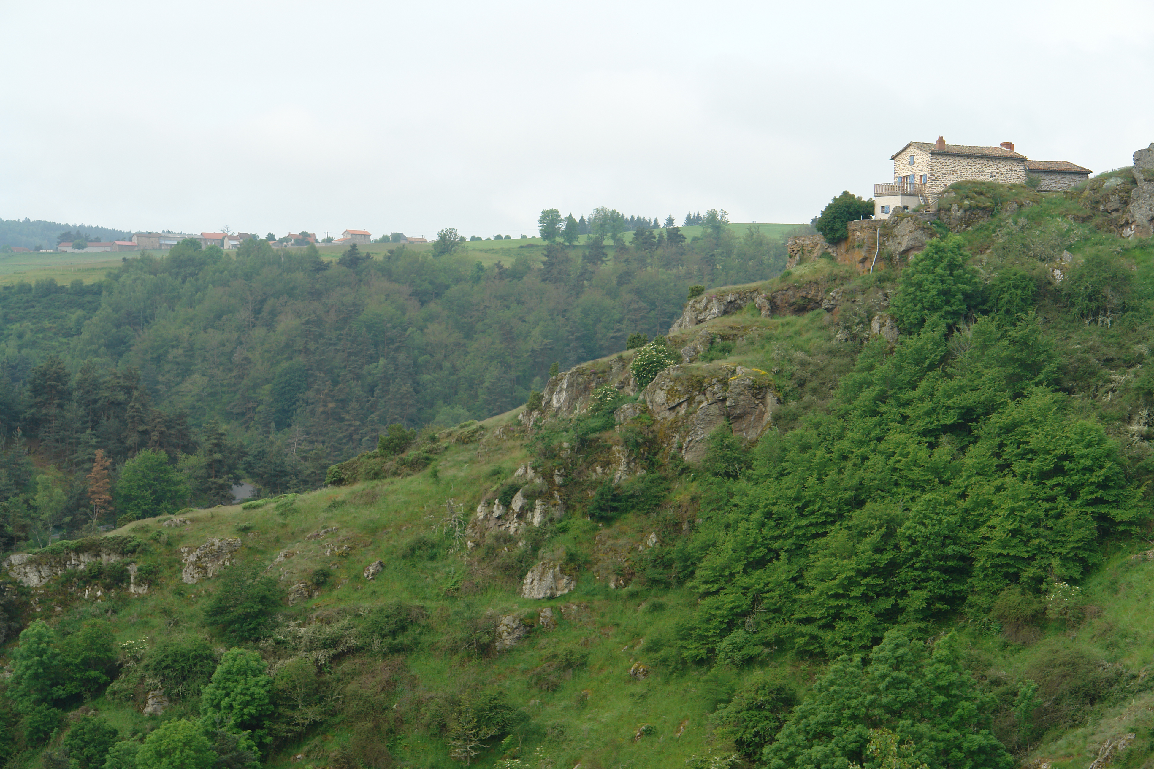
House in St Georges
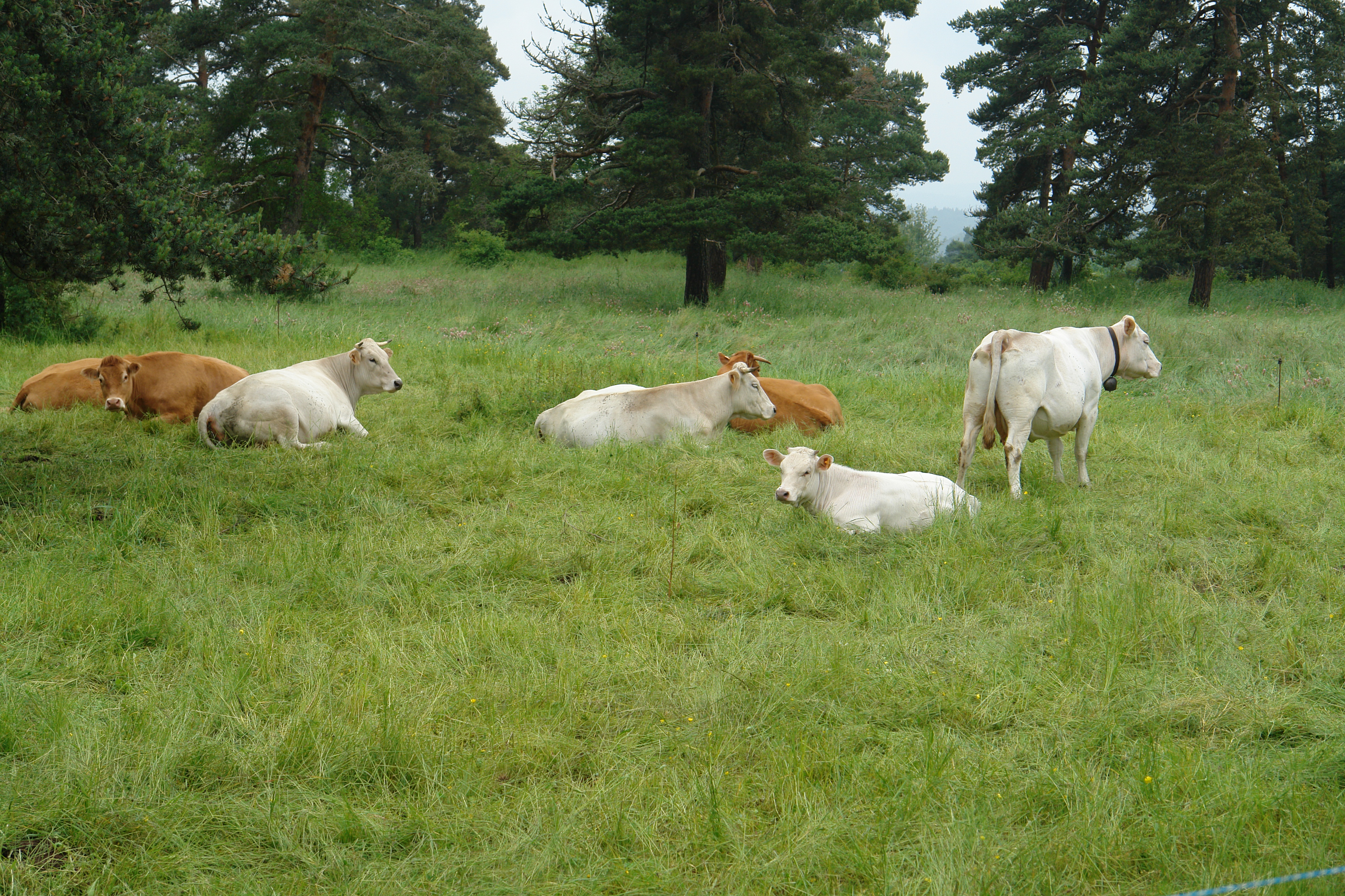
Cows on La Chan
The valley below St Georges
St Georges from across the steep valley

The countryside near St Georges
House in St Georges
1 Rue de la Cabale, Faverolles, フランスの地図
別の場所を検索
近所の場所
フランス 〒 ファヴロル
フランス 〒 ヴィルデュ
D, Villedieu, フランス
フランス 〒 オモン=オーブラック
Route du Languedoc, Aumont-Aubrac, フランスCommunauté de Communes La Terre de Peyre
Le Bouchet, Aumont-Aubrac, フランス
Les Courses, Saint-Alban-sur-Limagnole, フランス
フランス 〒 サンタルバン=シュル=リマニョル
フランス 〒 ル・ビュイッソン
21bis Avenue Georges Pompidou, Pierrefort, フランス
フランス 〒 ピエールフォール
フランス 〒 サン=シェリー=ドブラック オーブラック
5 Chemin Jean Fontugne, Marvejols, フランス
フランス 〒 ラギオール
フランス 〒 マルブジョル
フランス 〒 サン=シェリー=ドブラック
フランス 〒 サン=ボネ=ド=シラック
D19, Prades-d'Aubrac, フランス
フランス 〒 プラード=ドブラック
フランス 〒 サン=プレジェ=ダリエ
最近の検索
- アメリカ合衆国 アラスカ州 レッド・ドッグ・マイン日の出日の入り時間
- Am bhf, Borken, ドイツアム・バーンホーフ日の出日の入り時間
- 4th St E, Sonoma, CA, USA日の出日の入り時間
- Oakland Ave, Williamsport, PA アメリカ合衆国日の出日の入り時間
- Via Roma, Pieranica CR, イタリアローマ通り日の出日の入り時間
- クロアチア 〒 ドゥブロブニク GradClock Tower of Dubrovnik日の出日の入り時間
- アルゼンチン チュブ州 トレリュー日の出日の入り時間
- Hartfords Bluff Cir, Mt Pleasant, SC アメリカ合衆国日の出日の入り時間
- 日本、熊本県熊本市北区日の出日の入り時間
- 中華人民共和国 福州市 平潭県 平潭島日の出日の入り時間