| Timezone: | Eastern Standard Time |
|---|---|
| Current Time: | Thursday, November 12, 2026 3:47 AM |
| Longitude: | -83.7068378 |
| Latitude: | 35.2198127 |
| Sunrise Time Today: | 7:08:05 AM |
| Sunset Time Today: | 5:32:37 PM |
| Daylength Today: | 10h 24m 32s |
| Sunrise Time Tomorrow: | 7:09:04 AM |
| Sunset Time Tomorrow: | 5:31:55 PM |
| Daylength Tomorrow: | 10h 22m 50s |
: Show All Dates
| Date | Sunrise Time | Sunset Time | Daylength |
|---|---|---|---|
| Jan 1, 2026 | 7:44:26 AM | 5:33:42 PM | 9h 49m 15s |
| Feb 1, 2026 | 7:36:07 AM | 6:02:53 PM | 10h 26m 46s |
| Mar 1, 2026 | 7:07:18 AM | 6:30:24 PM | 11h 23m 6s |
| Apr 1, 2026 | 7:24:12 AM | 7:56:05 PM | 12h 31m 53s |
| May 1, 2026 | 6:45:57 AM | 8:20:31 PM | 13h 34m 34s |
| Jun 1, 2026 | 6:23:20 AM | 8:44:36 PM | 14h 21m 16s |
| Jul 1, 2026 | 6:24:38 AM | 8:54:38 PM | 14h 30m 0s |
| Aug 1, 2026 | 6:44:10 AM | 8:40:41 PM | 13h 56m 31s |
| Sep 1, 2026 | 7:07:58 AM | 8:05:24 PM | 12h 57m 25s |
| Oct 1, 2026 | 7:29:58 AM | 7:22:09 PM | 11h 52m 11s |
| Nov 1, 2026 | 7:56:20 AM | 6:43:00 PM | 10h 46m 39s |
| Nov 12, 2026 | 7:07:05 AM | 5:33:21 PM | 10h 26m 15s |
| Nov 13, 2026 | 7:08:05 AM | 5:32:37 PM | 10h 24m 32s |
| Dec 1, 2026 | 7:25:32 AM | 5:24:26 PM | 9h 58m 54s |
Sunrise & Sunset Photos

Just Past the Falls by andrew_v

Lake Nantahala sunset by MWV Photography

Mountain waves by Jeff NC
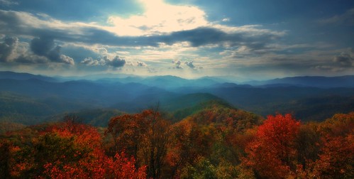
West View from Wesser Bald Observation Tower by gghiker

Sunset near Robbinsville by gerald_belton

Valley Light by andrew_v

Valley Fields by andrew_v

Wayah Why Such A Bad Photo by Darrell Duke

Great Smoky Mountain Railroad in Nantahala National Forest by Peter Ciro Photography

Sunset by Edith Frost

Early Morning in Nantahala Gorge by wfp48
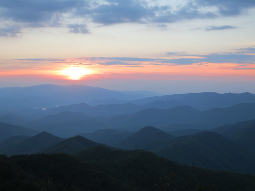
IMG_8603 by marsovo

Sunset at Aquone Hiker Lodge by Edith Frost

Dawn a Mile Up on the AT by Rob Saker

Sunrise on the Appalachian Trail by Rob Saker

Waiting for Sunrise on the AT by Rob Saker