| Timezone: | Pacific Standard Time |
|---|---|
| Current Time: | Wednesday, November 11, 2026 1:55 PM |
| Longitude: | -118.2455555 |
| Latitude: | 38.4430555 |
| Sunrise Time Today: | 6:31:38 AM |
| Sunset Time Today: | 4:45:08 PM |
| Daylength Today: | 10h 13m 29s |
| Sunrise Time Tomorrow: | 6:32:45 AM |
| Sunset Time Tomorrow: | 4:44:17 PM |
| Daylength Tomorrow: | 10h 11m 32s |
: Show All Dates
| Date | Sunrise Time | Sunset Time | Daylength |
|---|---|---|---|
| Jan 1, 2026 | 7:11:24 AM | 4:43:08 PM | 9h 31m 43s |
| Feb 1, 2026 | 7:00:27 AM | 5:14:54 PM | 10h 14m 26s |
| Mar 1, 2026 | 6:27:57 AM | 5:46:01 PM | 11h 18m 3s |
| Apr 1, 2026 | 6:40:33 AM | 7:15:59 PM | 12h 35m 25s |
| May 1, 2026 | 5:58:21 AM | 7:44:24 PM | 13h 46m 3s |
| Jun 1, 2026 | 5:32:41 AM | 8:11:35 PM | 14h 38m 53s |
| Jul 1, 2026 | 5:33:27 AM | 8:22:09 PM | 14h 48m 41s |
| Aug 1, 2026 | 5:55:19 AM | 8:05:50 PM | 14h 10m 30s |
| Sep 1, 2026 | 6:22:57 AM | 7:26:40 PM | 13h 3m 42s |
| Oct 1, 2026 | 6:49:01 AM | 6:39:20 PM | 11h 50m 19s |
| Nov 1, 2026 | 7:19:33 AM | 5:56:05 PM | 10h 36m 31s |
| Nov 12, 2026 | 6:31:38 AM | 4:45:08 PM | 10h 13m 29s |
| Nov 13, 2026 | 6:32:45 AM | 4:44:17 PM | 10h 11m 32s |
| Dec 1, 2026 | 6:51:54 AM | 4:34:27 PM | 9h 42m 32s |
Sunrise & Sunset Photos
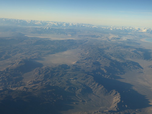
Nevada South of Hawthorne, Nevada by Ken Lund

Luning, Nevada by paccode
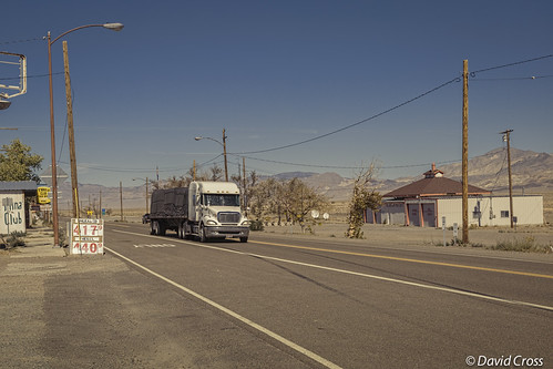
Highballing Through Mina by Foothills Rambler
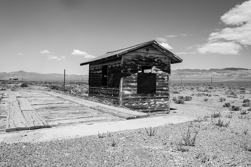
Luning, Nevada by paccode
The Stephen King Novels Were True (Hipstamatic Contest Entry) by DeeAshley
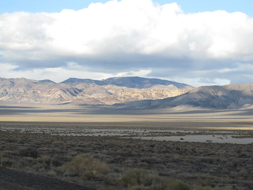
Gabbs Valley Range from U.S. 95, Near Luning, Nevada by Ken Lund
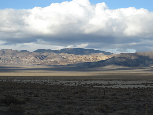
Gabbs Valley Range from U.S. 95, Near Luning, Nevada by Ken Lund

Aerials: from Las Vegas to Portland. Clear skies! by s.j.b.
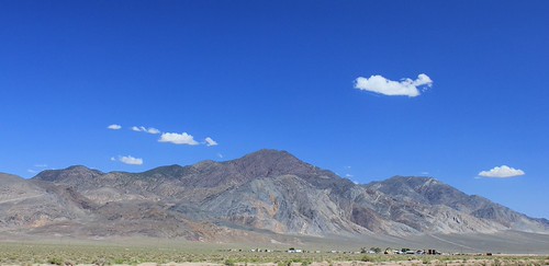
Pilot Peak by BCooner
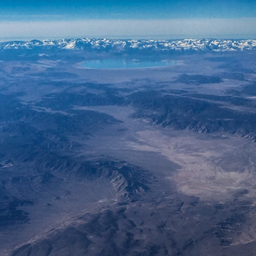
Aerials: from Las Vegas to Portland. Clear skies! by s.j.b.

_K5P6964.JPG by t.truckle
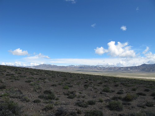
The Beauty of the Desert by smittie

Garfeild Mill by tenebboy

2009-08-27 09.48.36 by phxhawke
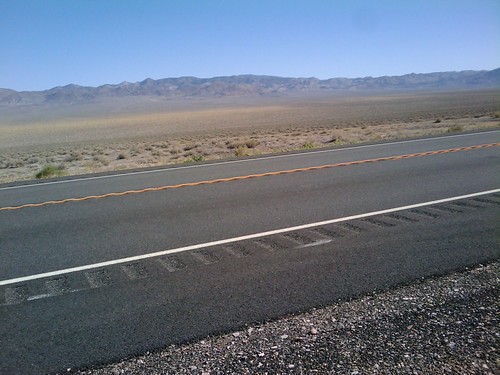
2009-08-27 09.47.49 by phxhawke
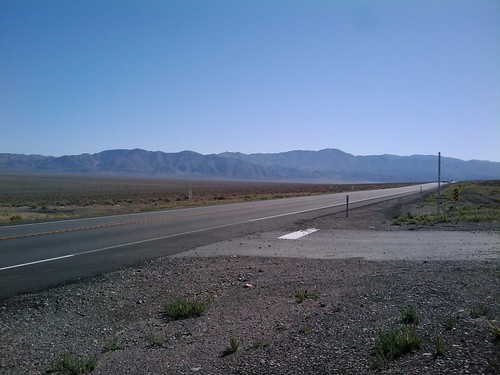
2009-08-27 09.48.44 by phxhawke

2009-08-27 09.45.19 by phxhawke

Garfeild Mill leaching pit by tenebboy

Mineral County by vistalinks

Garfeild HIlls by tenebboy
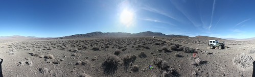
Garfeild Flat by tenebboy

Garfeild HIlls by tenebboy

Garfeild Spring by tenebboy

Garfeild Flat by tenebboy

Garfeild Flat by tenebboy
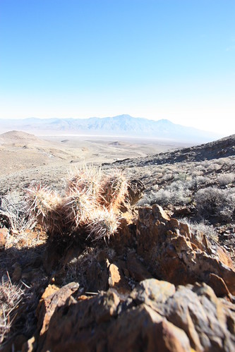
Garfeild HIlls by tenebboy
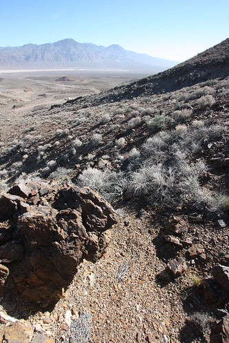
Garfeild HIlls view by tenebboy

CAN-0601-011 - Mountain by Bob McBride2009

wealthbyland-20090502-104523-DSC_0433 by wealthbyland

CAN-0601-009 - Mountain by Bob McBride2009
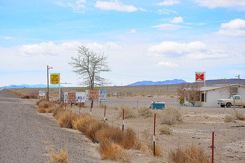
wealthbyland-20090502-104618-DSC_0435 by wealthbyland

CAN-0601-008 - Mountain by Bob McBride2009
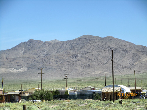
CAN-0601-007 - Mountain by Bob McBride2009